Viva Nevada

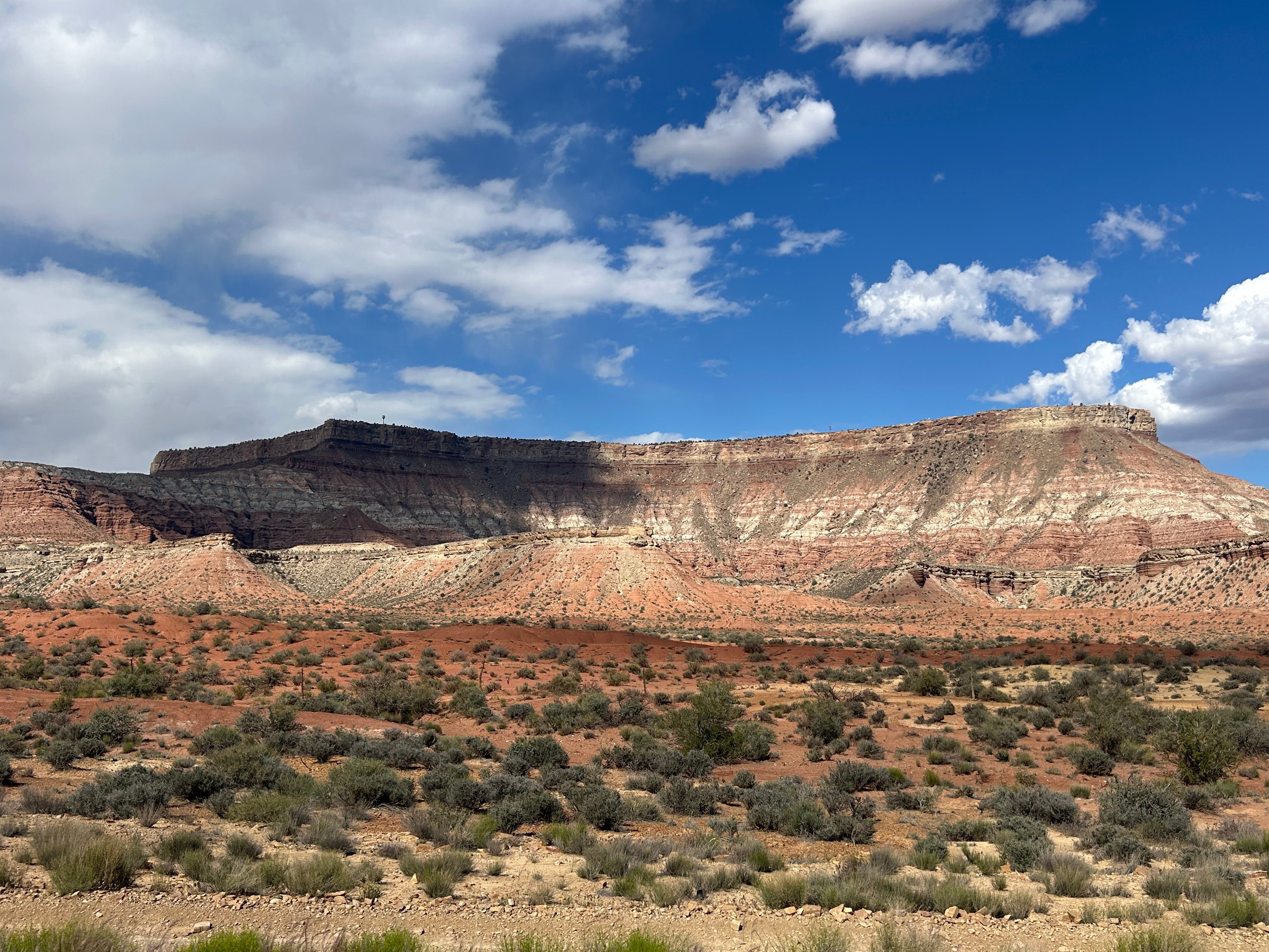
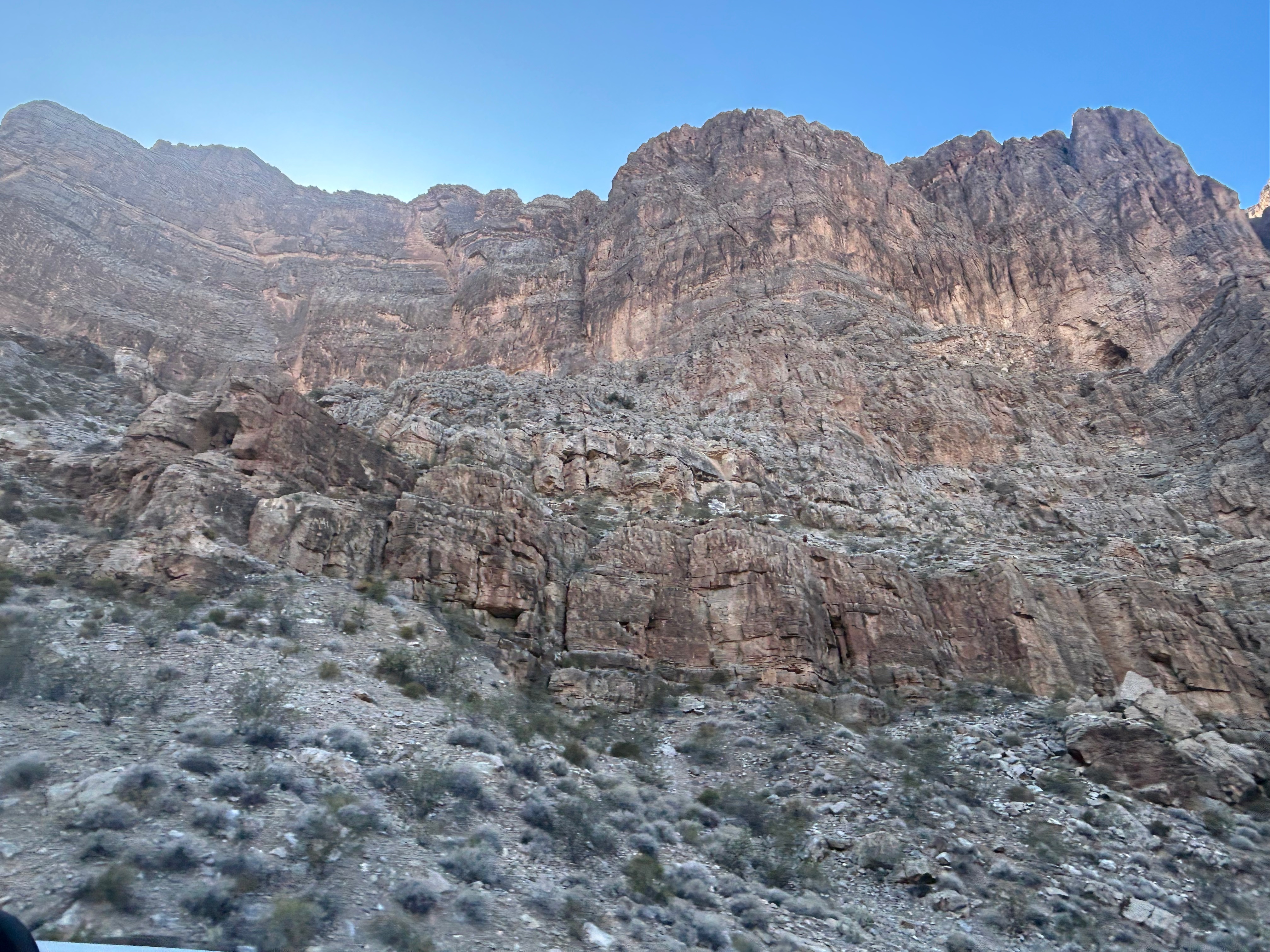
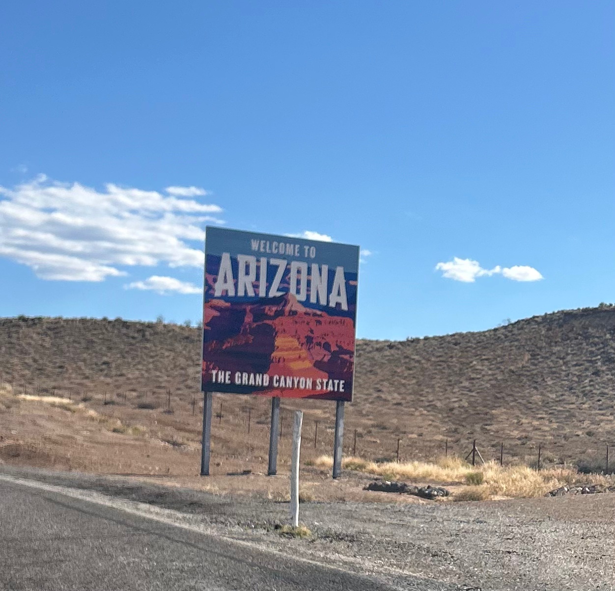
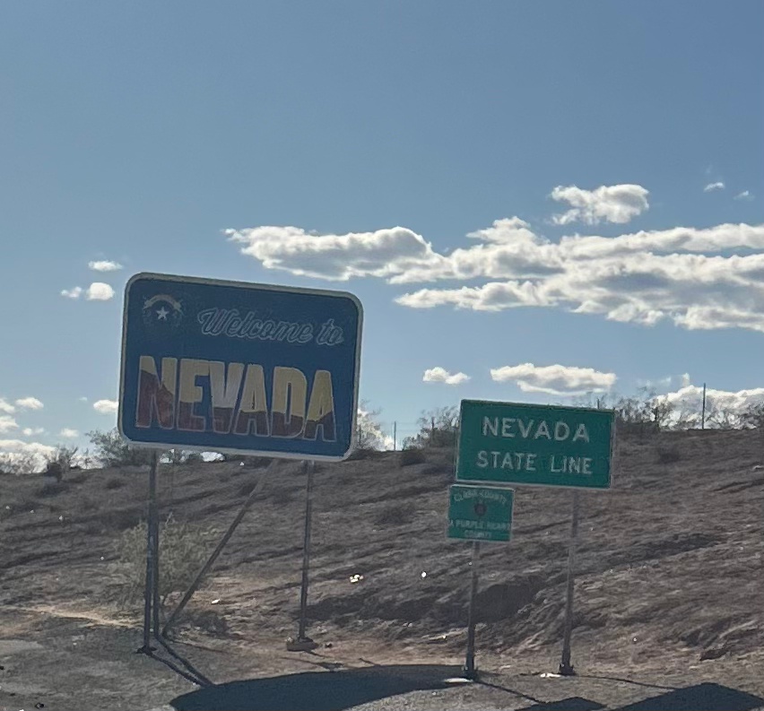
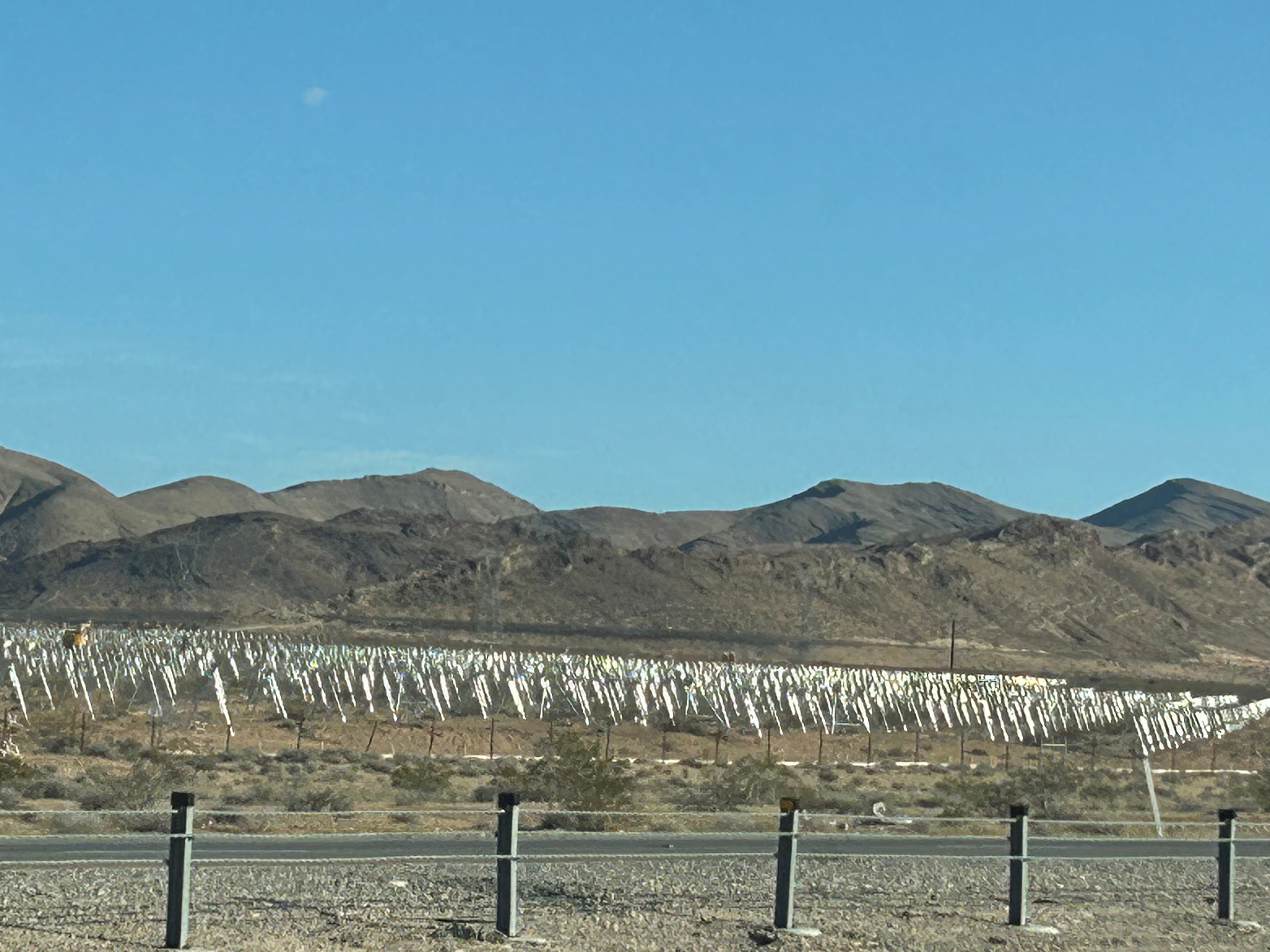
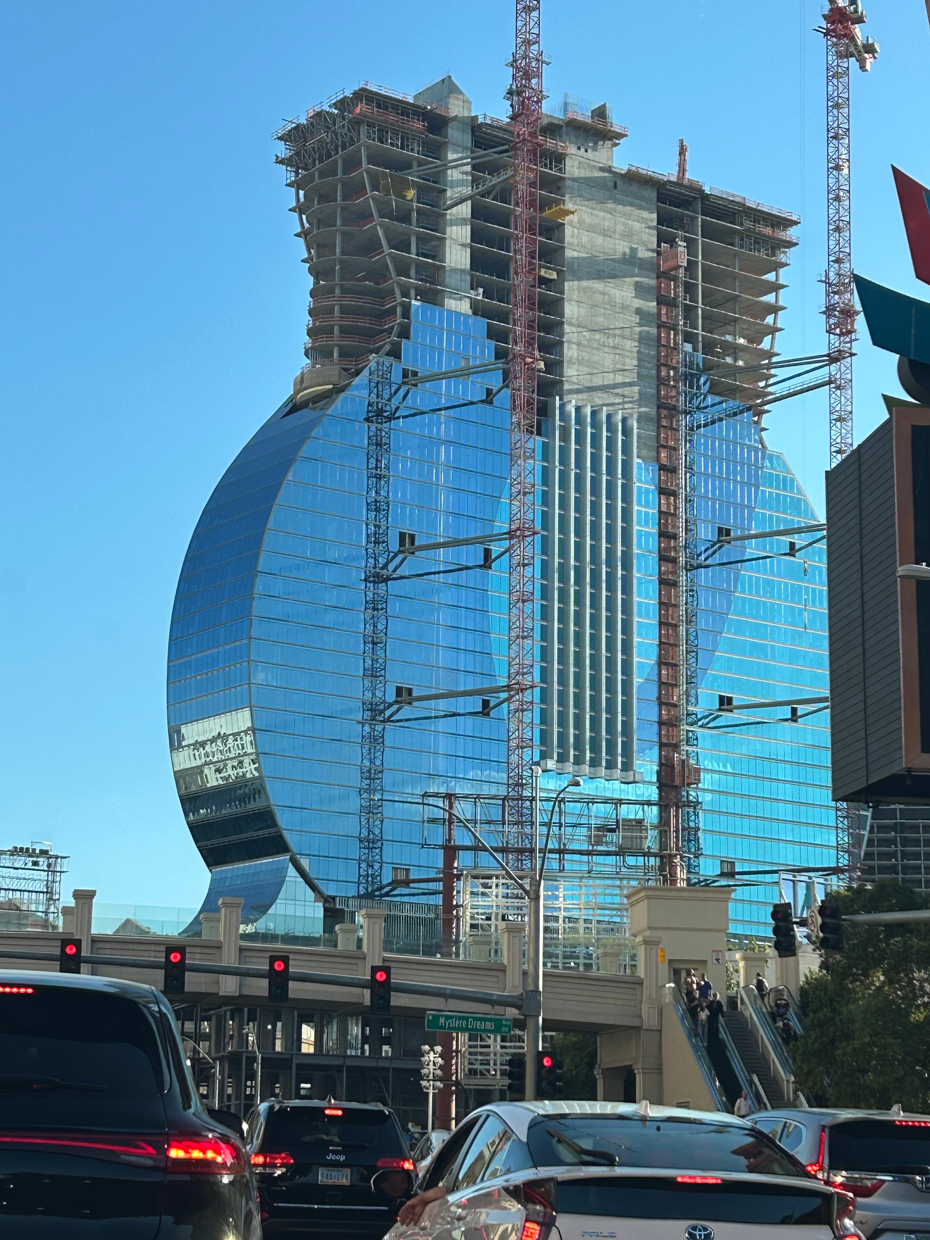
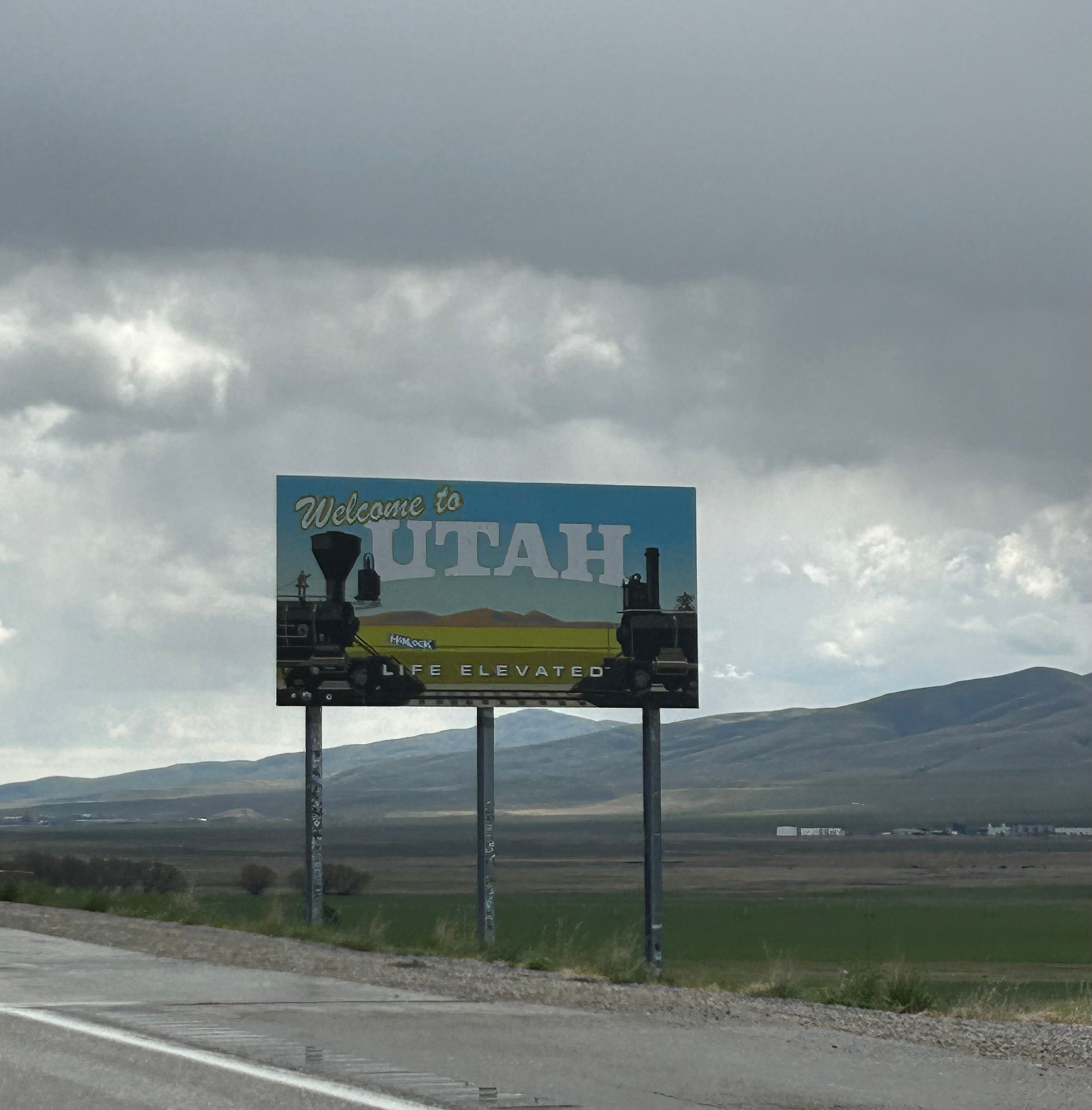
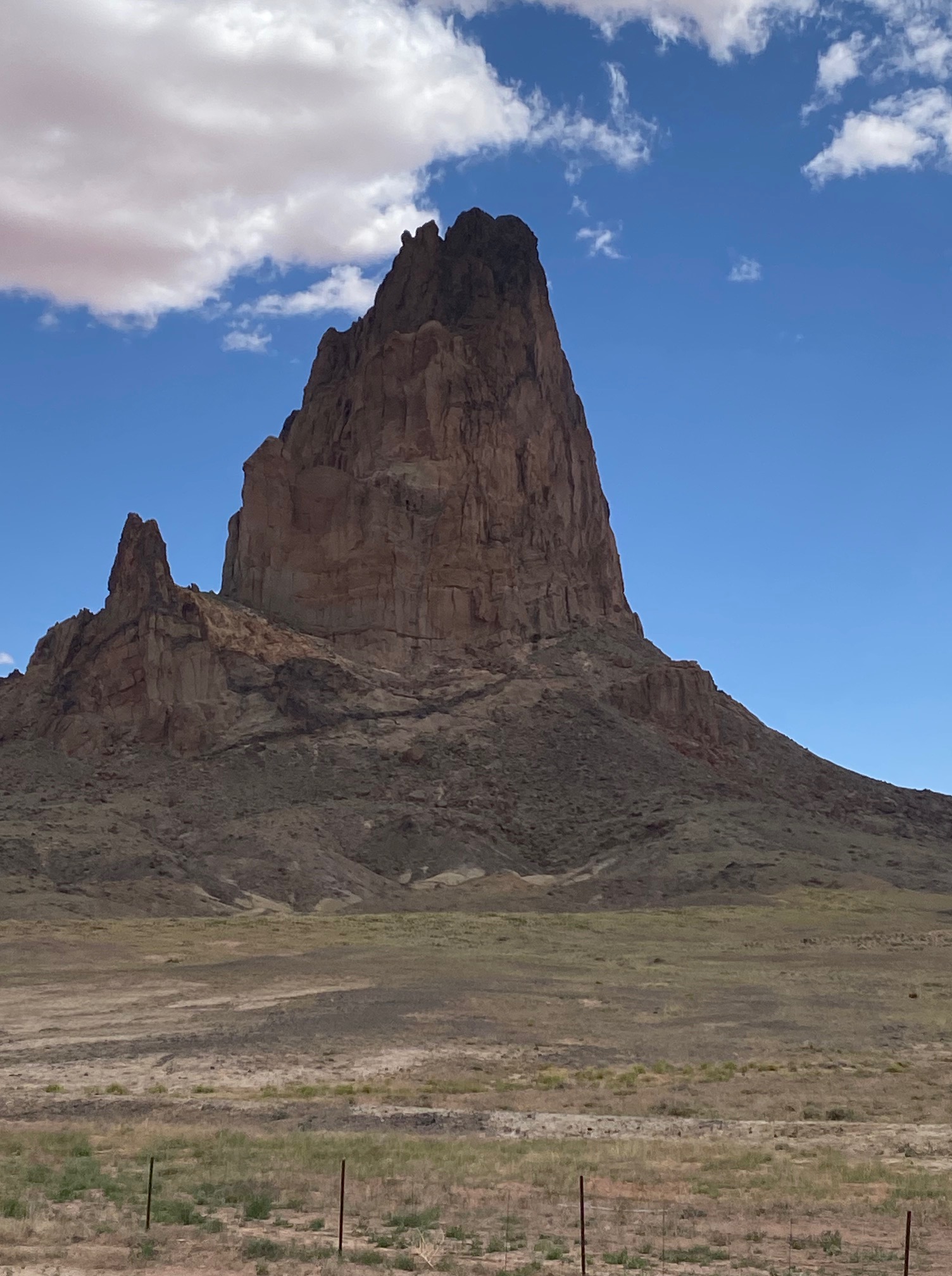
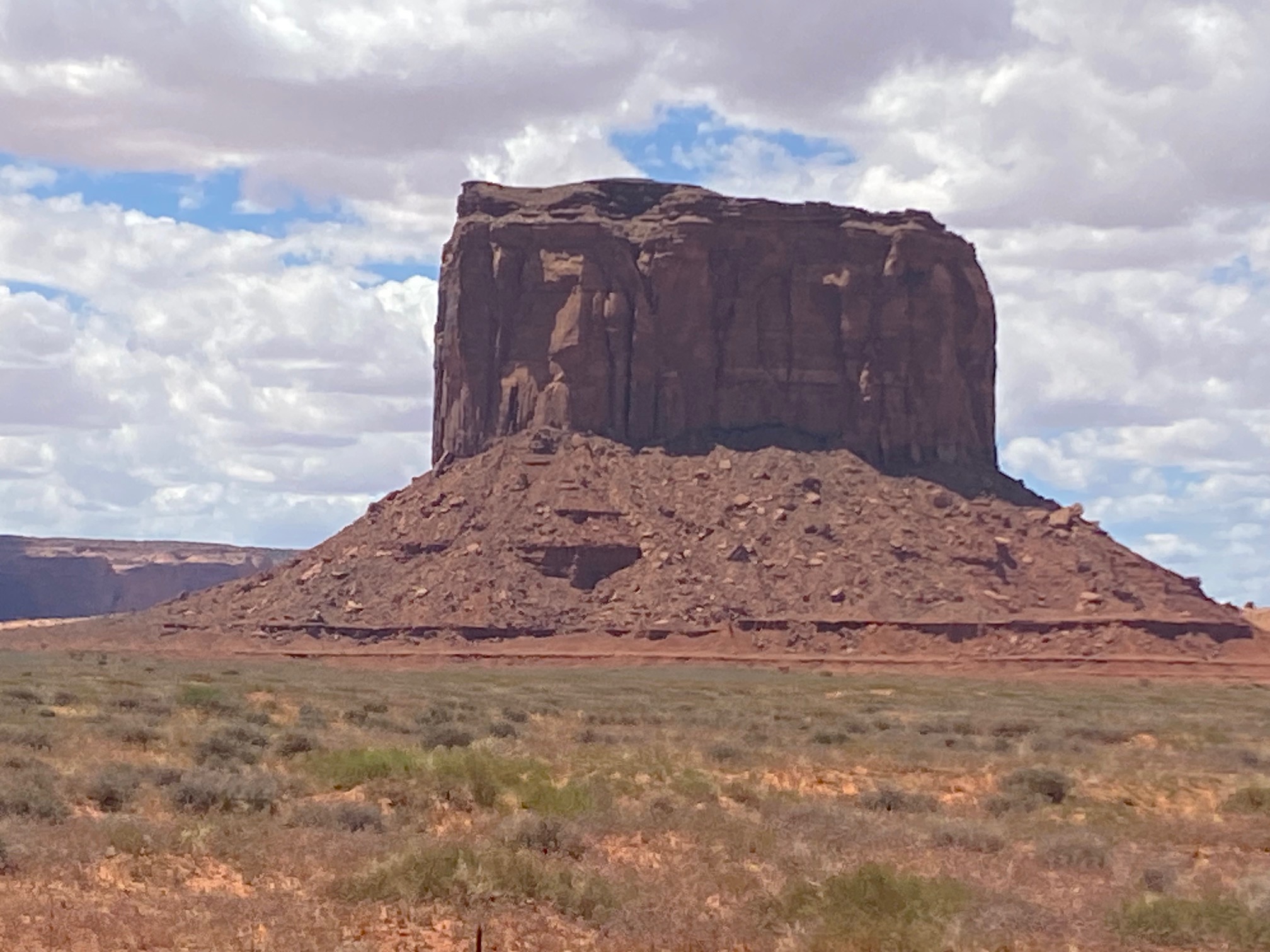
After an amazing day in Utah, we made a brief dip through Arizona before officially entering Nevada. We were somehow shocked to discover that we went back another hour into Pacific time, so the day was getting longer! The beautiful views continued into the state, but we also saw some unusual man-made views. We passed a field with hundreds of silver metal triangles packed side by side. I tried to do some quick internet research, but that just plopped me into a wild rabbithole of alien conspiracy triangle lore. Sometimes things should just stay a mystery! As we rolled into Vegas, we saw the new Hard Rock Hotel under construction; looks like it will be super cool once complete. Driving onto the strip and finding the right entrance was quite challenging.

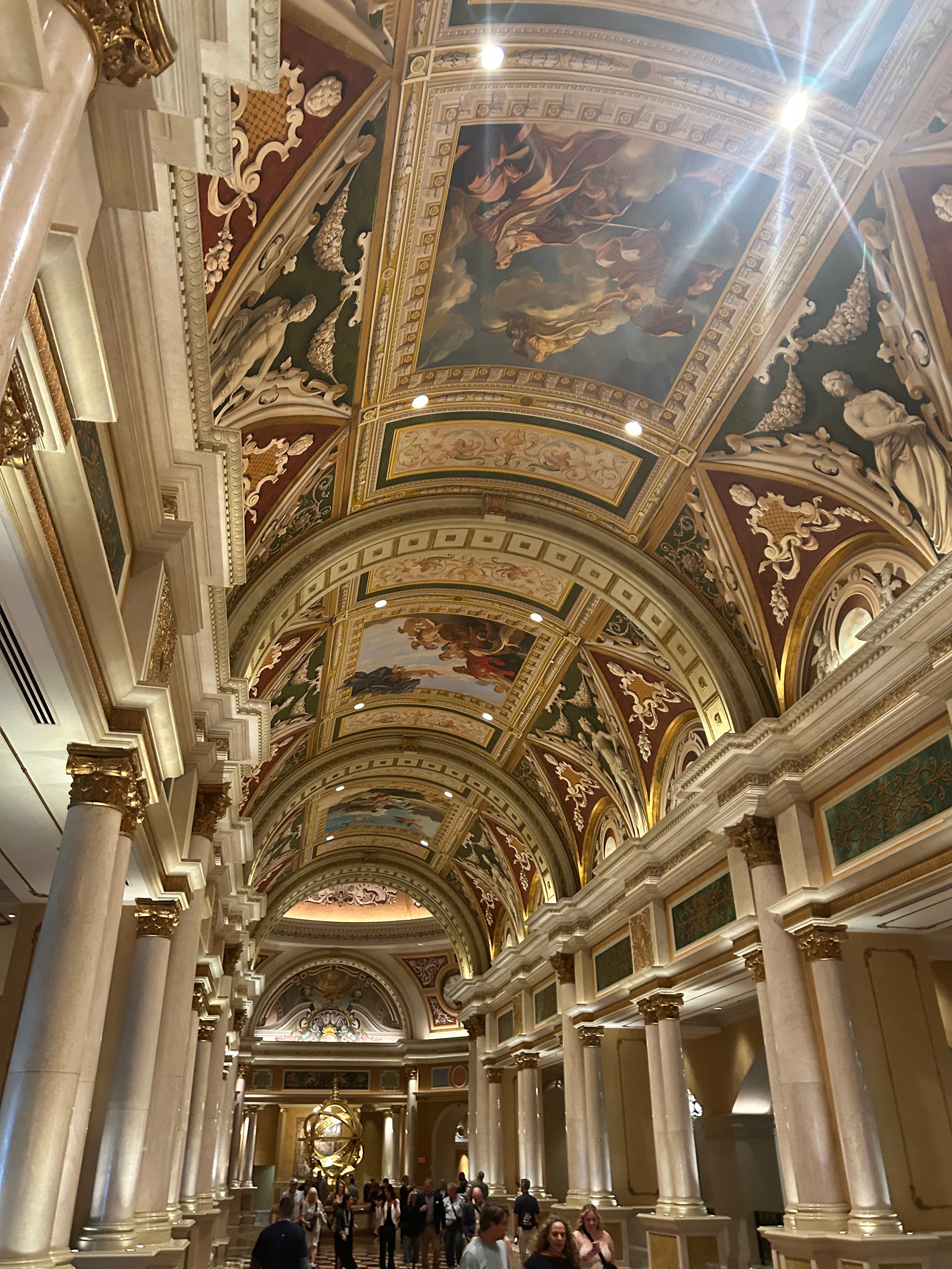
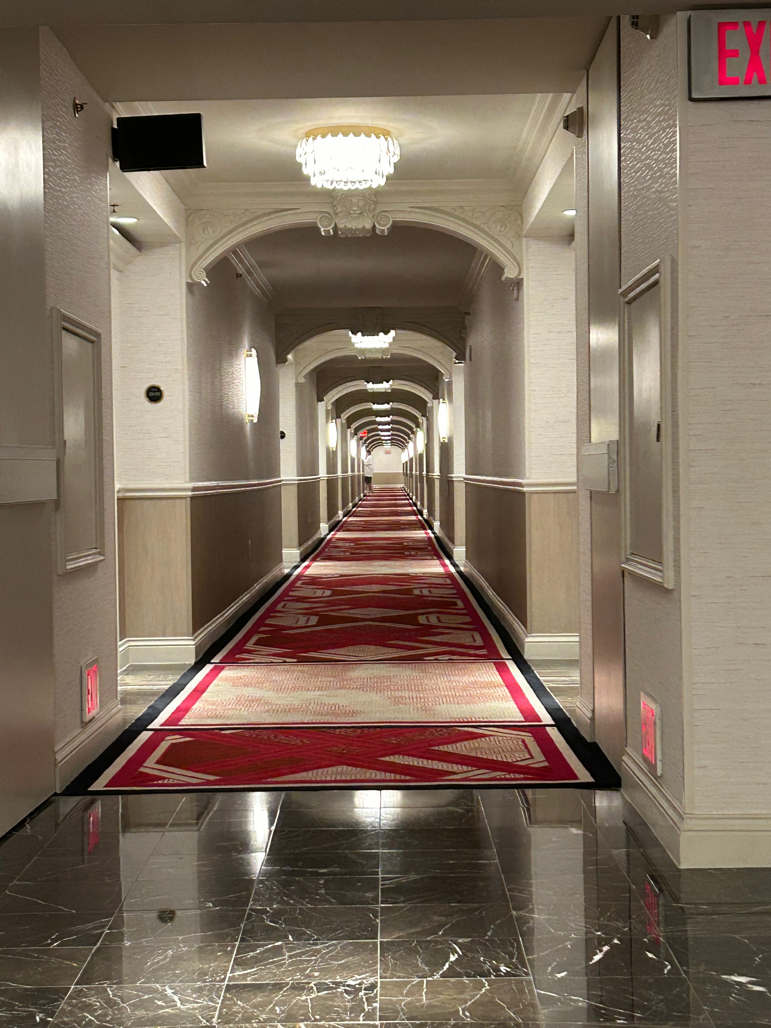
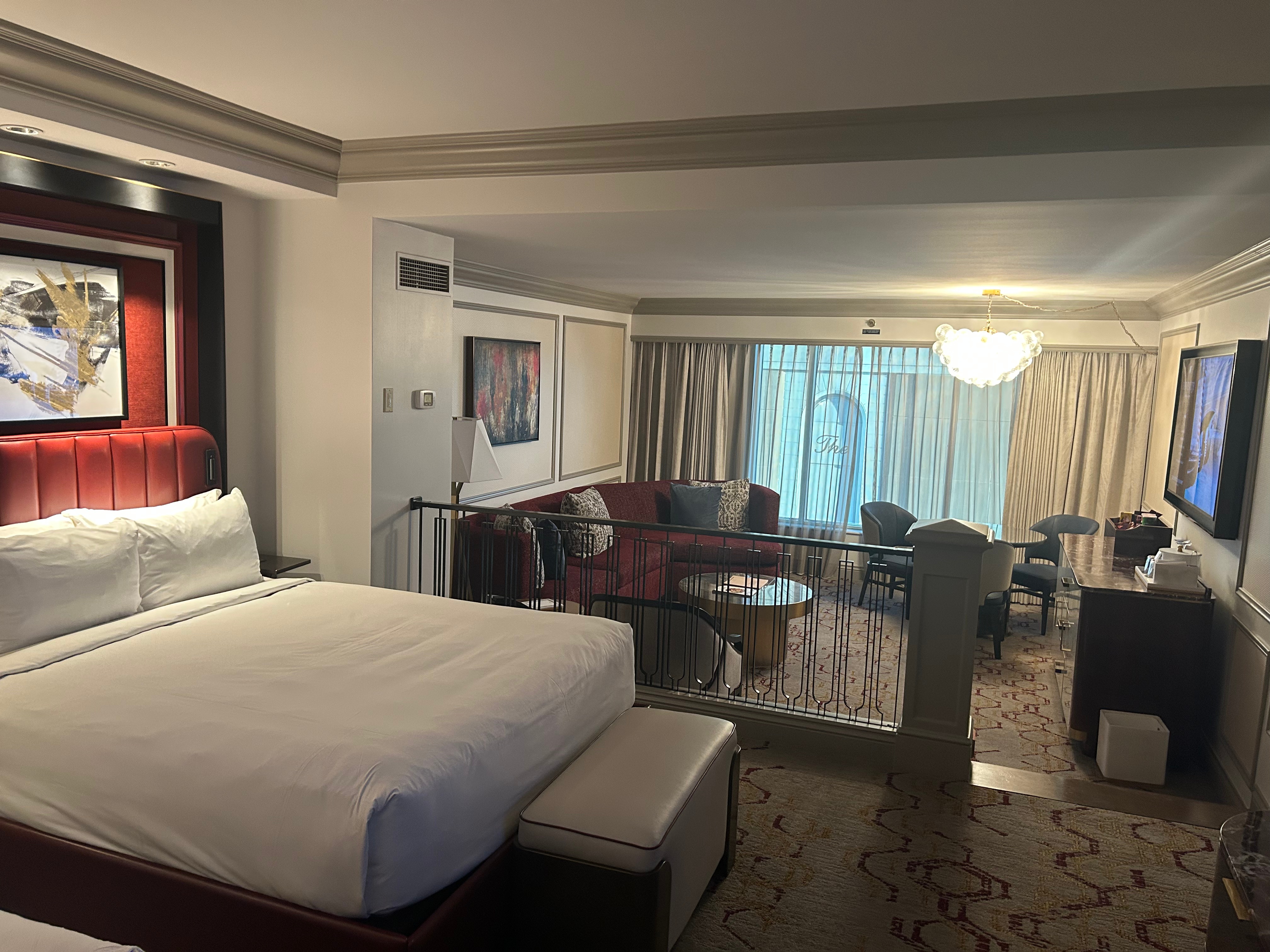
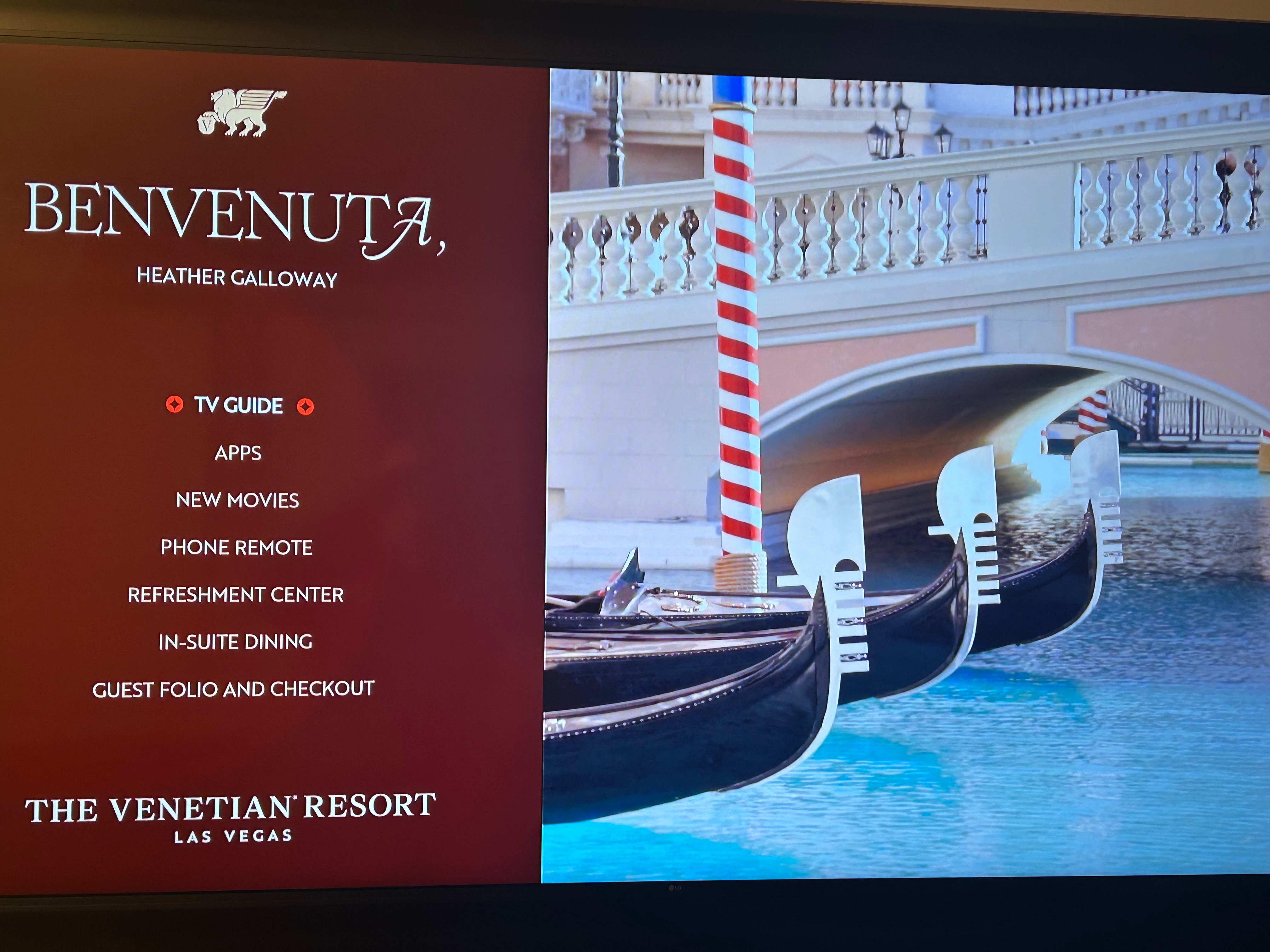
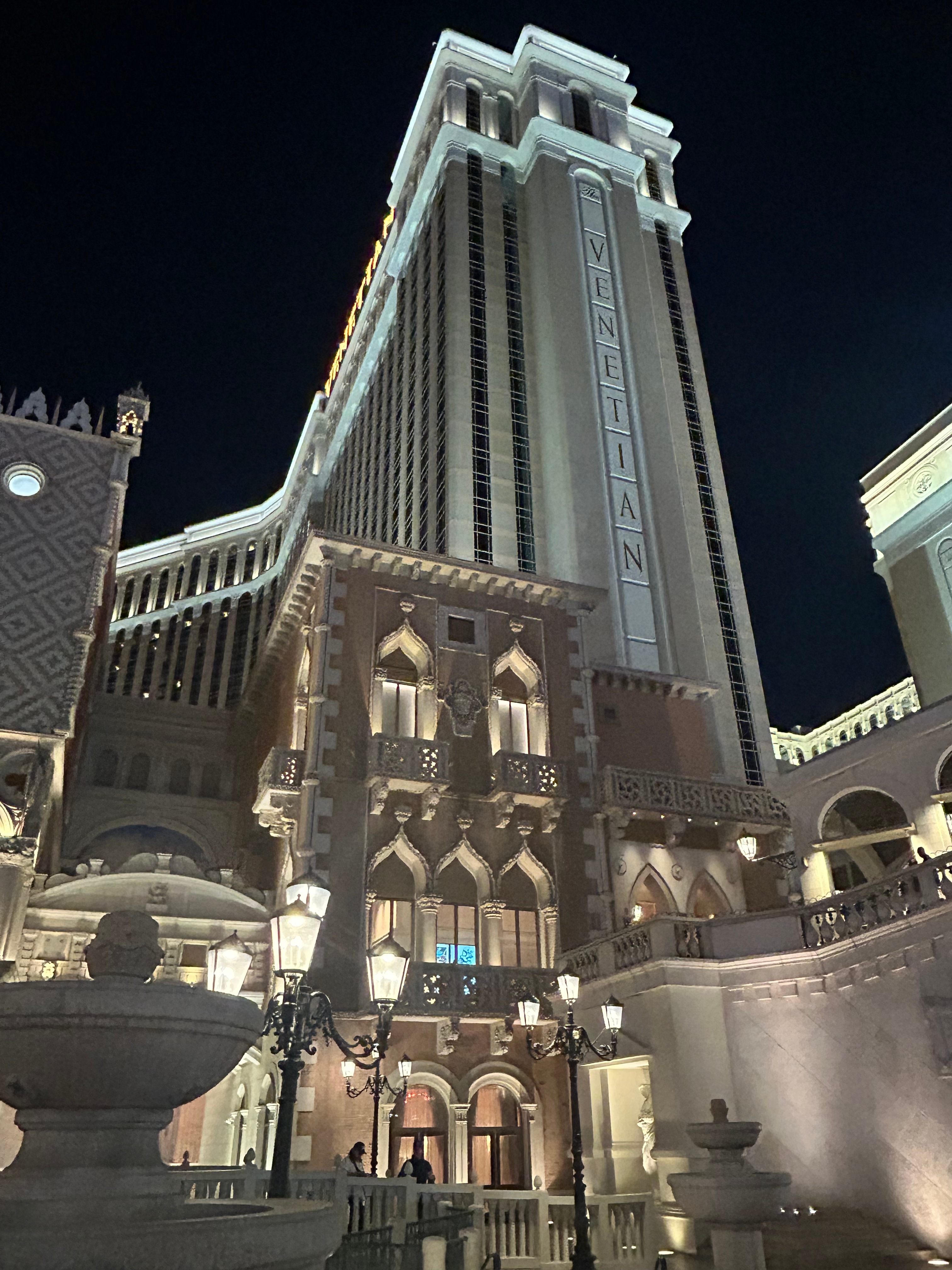
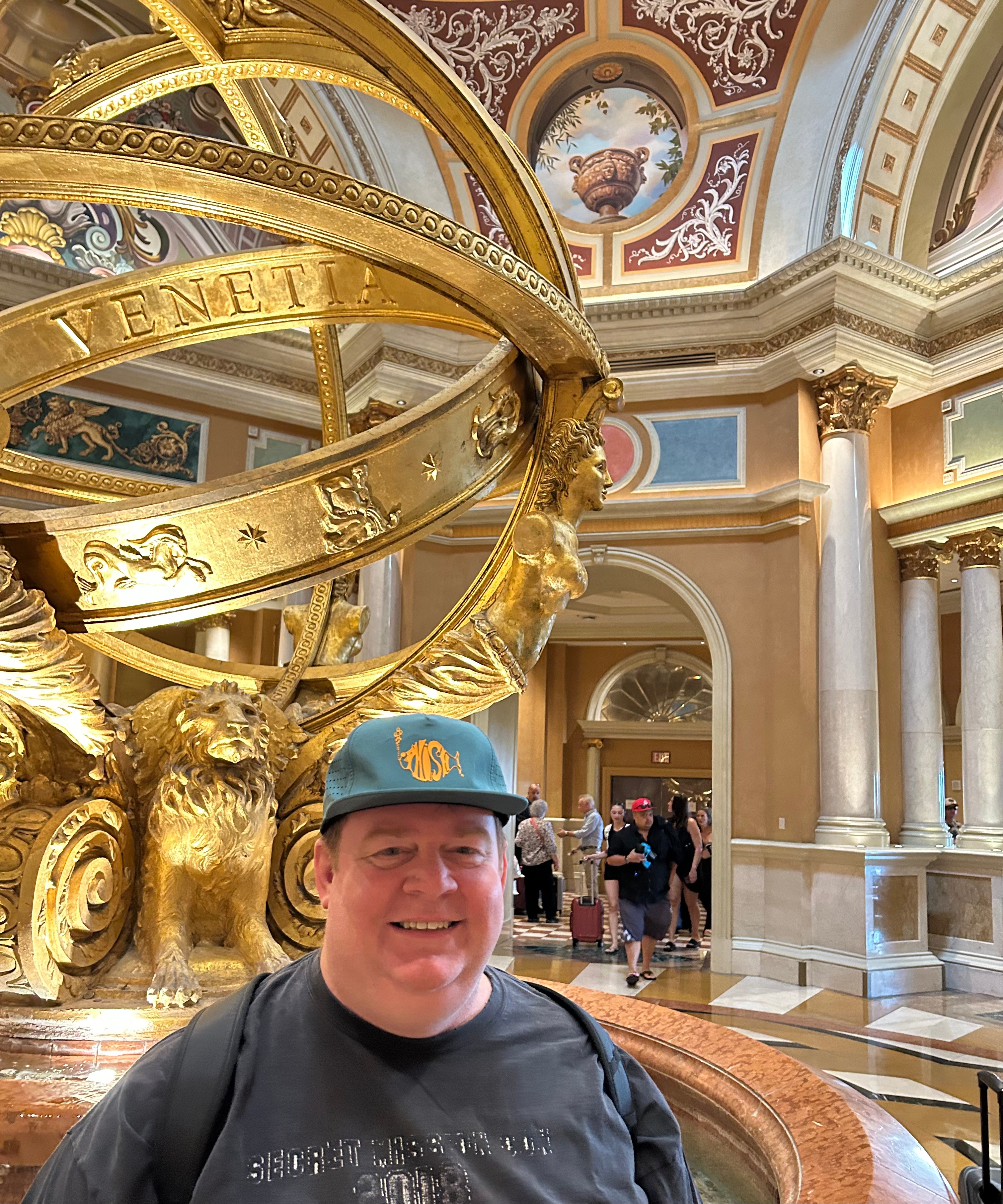
We finally found our way to the Venetian property and dealt with the typical valet and bell hop. We had additional check-in adventure with security though. The property sent me information noting that no weapons are allowed on property (including in your car). In being prepared for getting stuck in the wilderness (or in any other bad situation), we had a gun with us. So we had the long walk with security to go check Thom’s gun into the Venetian armory. We sort of got a behind-the-scenes tour, lol. Back up in the hotel, we couldn’t help but be in awe of how exquisite this place was. Funny enough, this stay wasn’t any more expensive than any of our other stays along the trip. It did, however, have the longest walk to the room. After checking in, we walked to the hotel tower elevators, but had to travel a winding path around the casino, stores, and restaurants. Once up and off the elevator, we laughed at the fact that there was a big bench in the hallway…as if you needed a break between the elevator and your room. But then we proceeded to walk a hallway that seemed like a quarter mile long. (We ended up in the 40th room of the left…there were SO many rooms here!) Our room was comically big, and I enjoyed marveling at the luxury. I must also admit that it’s pretty delightful to walk into a room where the screen welcomes you by name. I guess I just love the little details. While we both could’ve easily crashed for the night, I’m pretty sure it’s against the law to go to bed early in this town. So we unpacked, showered, downed some 5 Hour Energy, and headed out to explore.

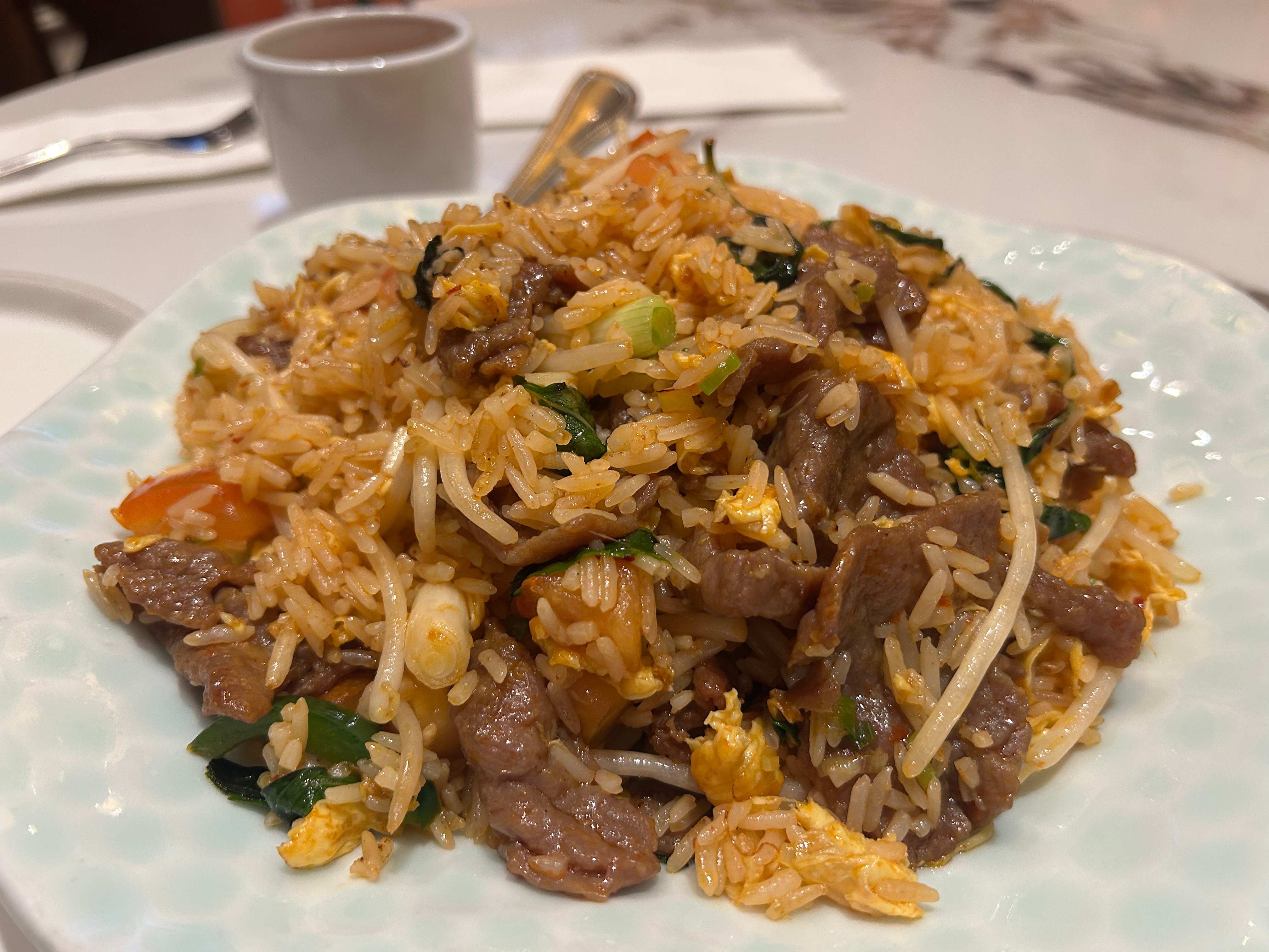
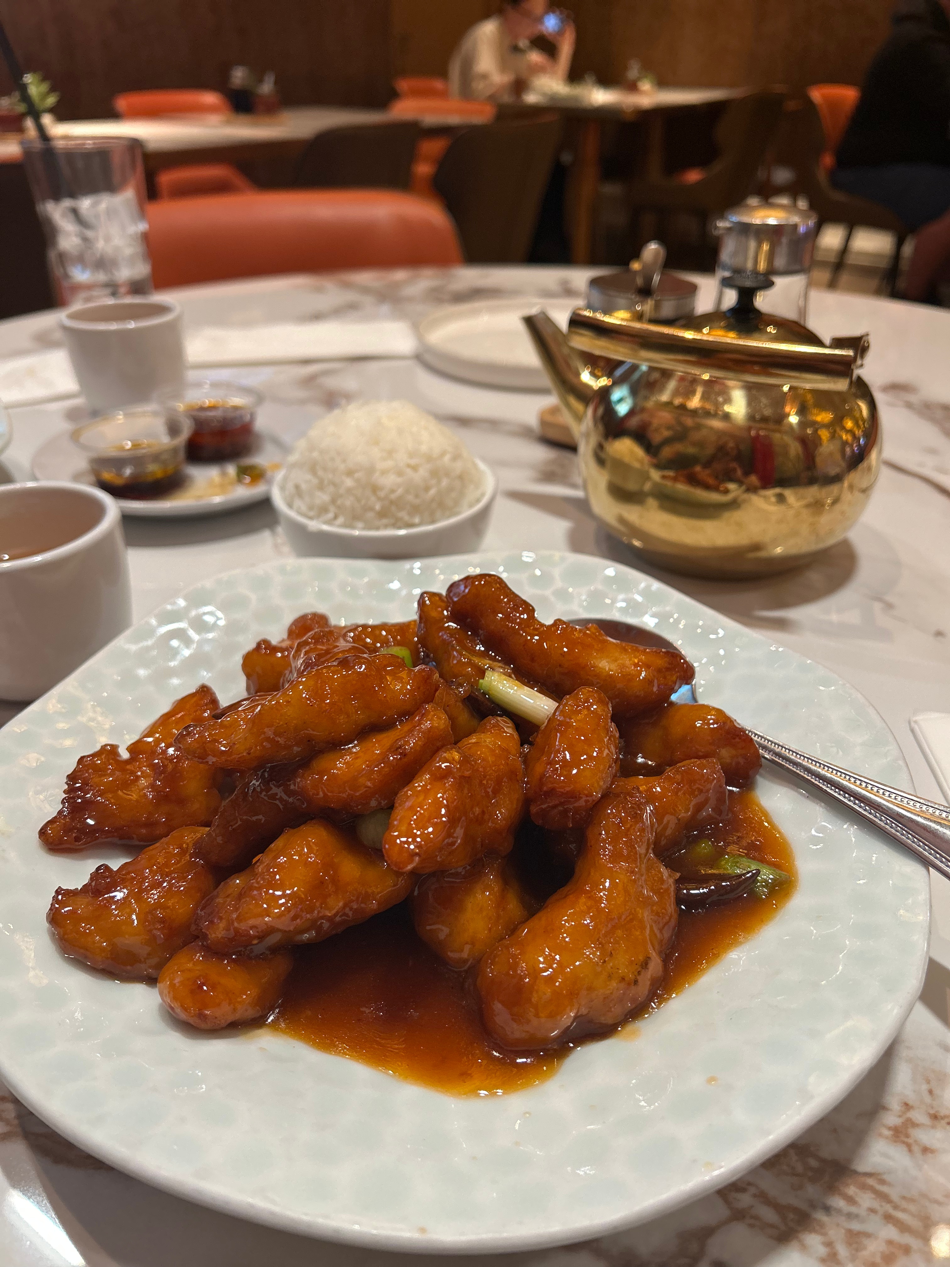
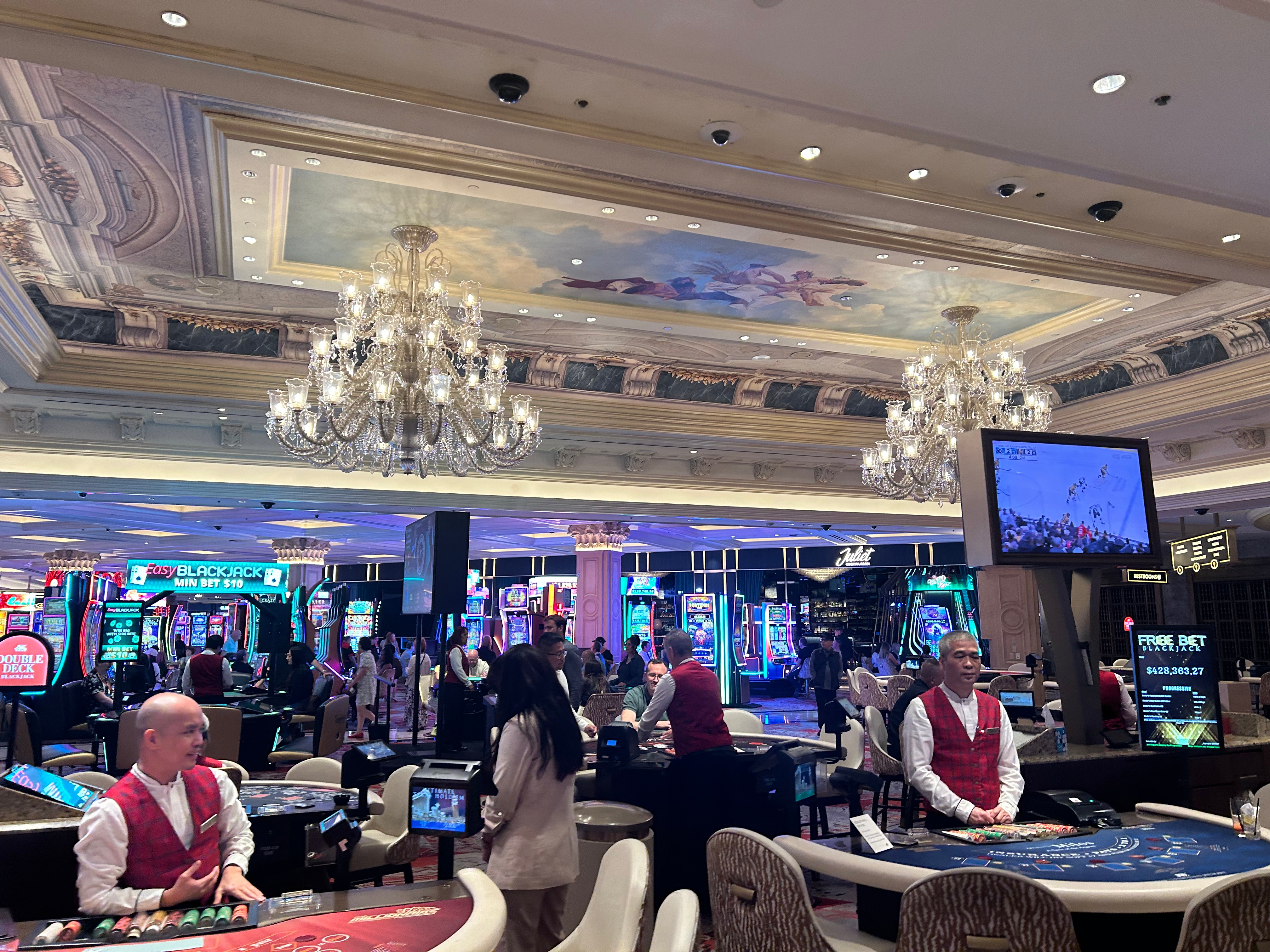
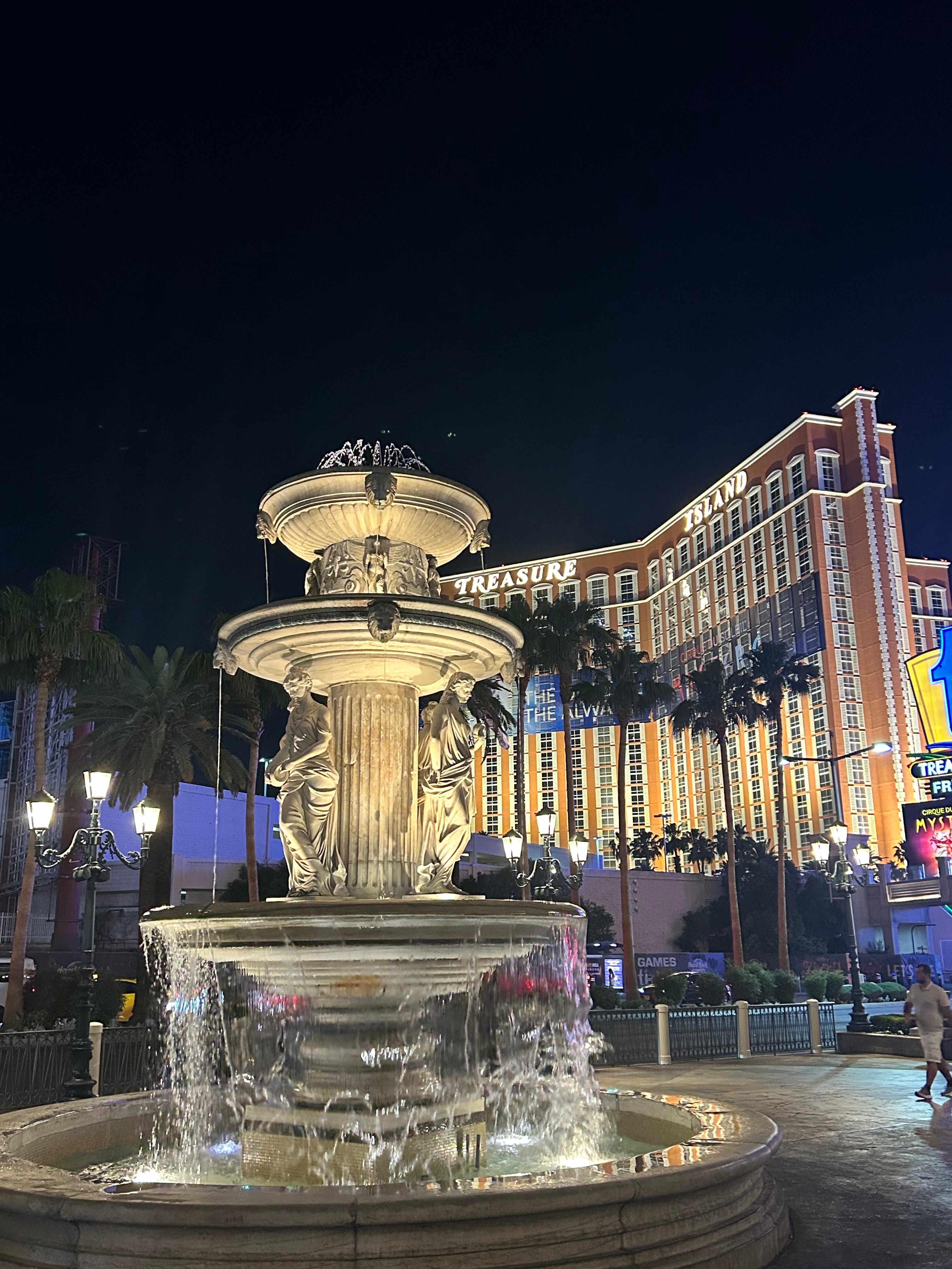
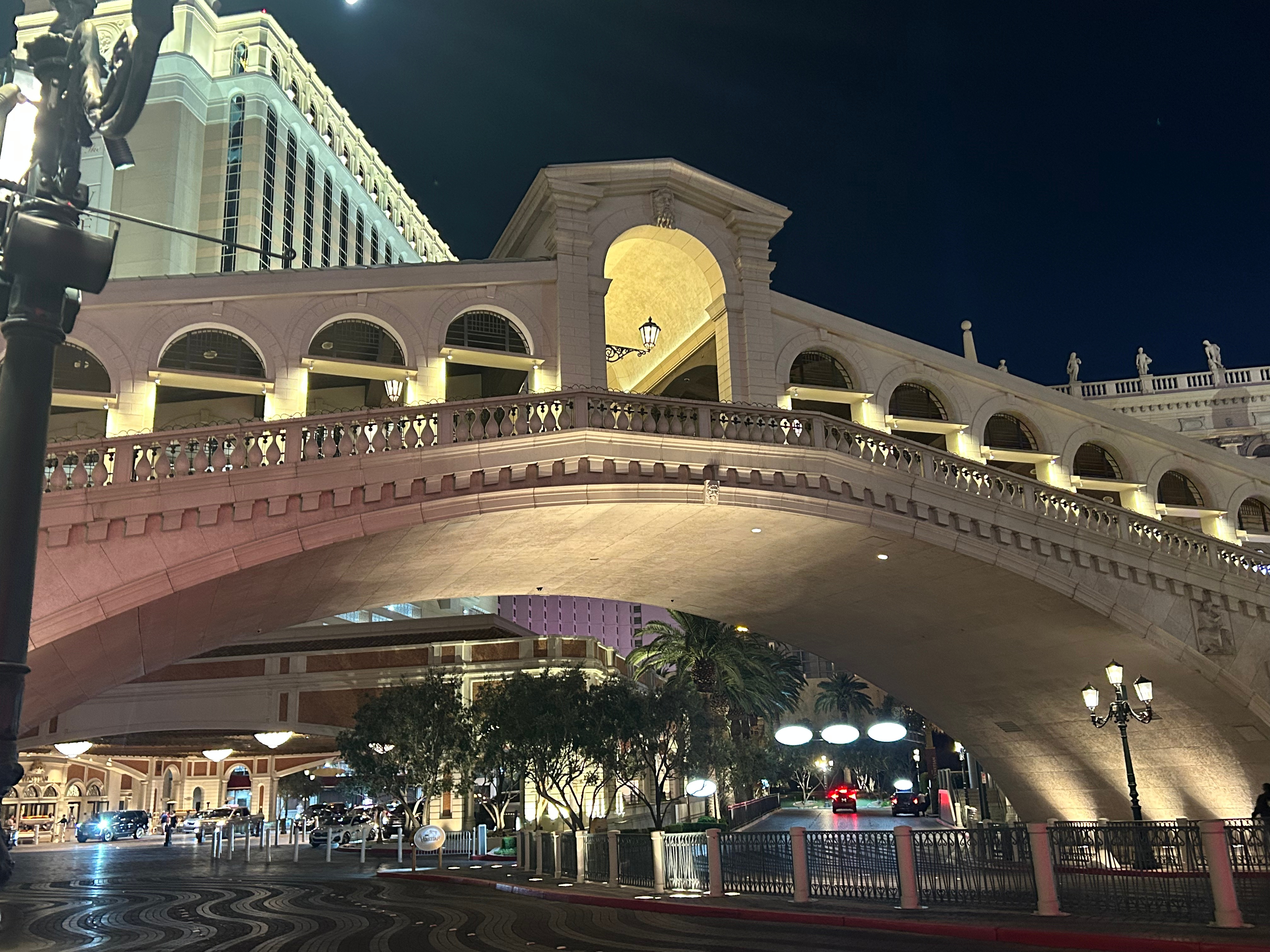
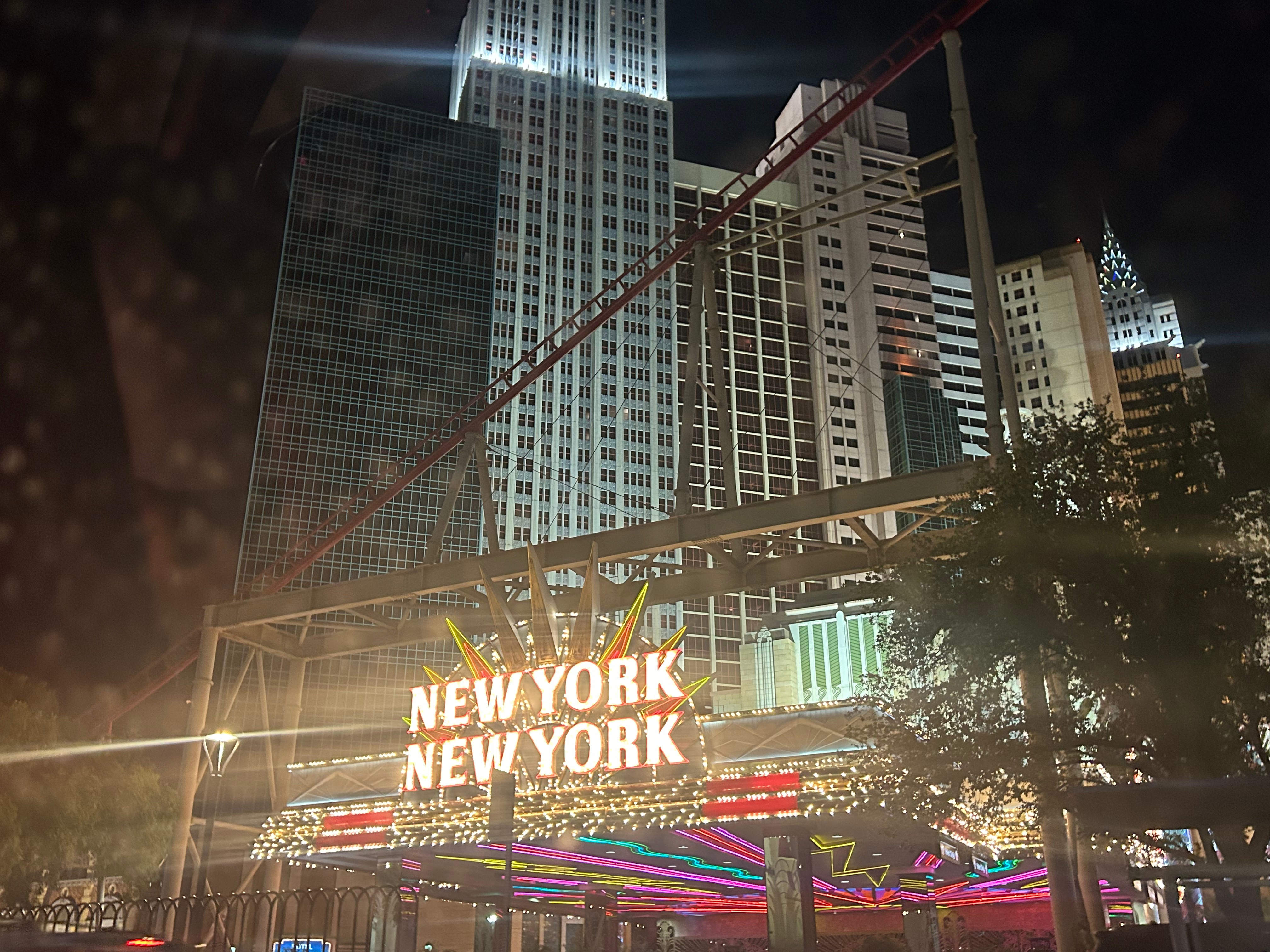
Dinner was at the top of our to-do list, but we had to traverse the casino maze to get anywhere. Our internet research had pointed us to Noodle Asia, and it was, in fact, quite excellent. I had thought we might do some sort of gambling in the casino, but it turned out that both of us absolutely hated the casino area. It was chaotic, loud, and smoky. Neither of us make enough money to be wasting it, nor do we know much about any of the games…so we figured that whole place was a fool’s bet for us. We found our way out and went to see a bit of the strip. Alternating between strolling and sitting, we just savored the view and the conversation.

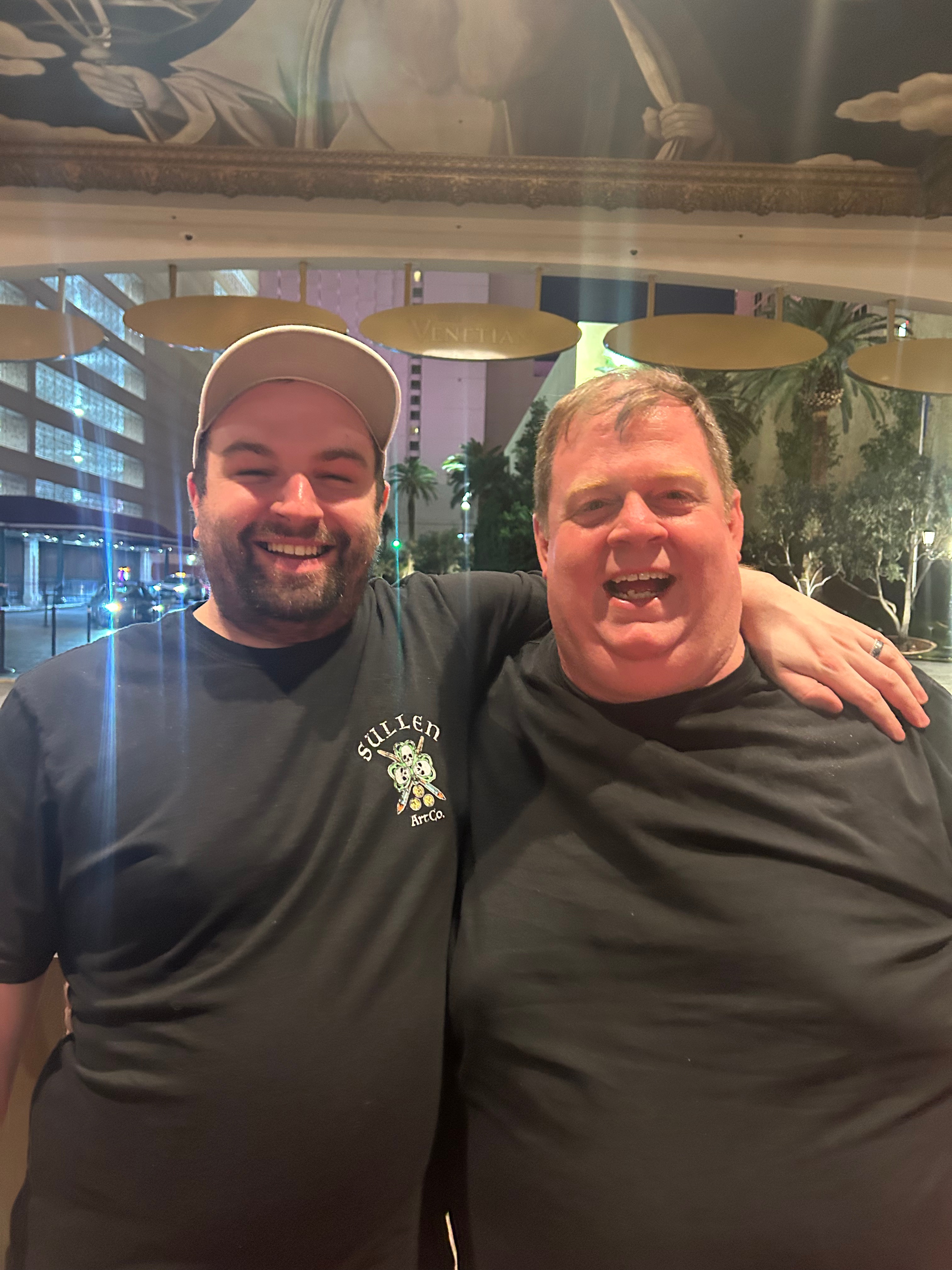
We also had plans for the night to meet up with our friend, Michael, who’d moved to Vegas this past year. He didn’t even get off work until after 10; he (and his friend, Joel) picked us up around 11, and we went for a cruise along the strip followed by drinks at a local bar. By the time we made it back to our room, we’d been up pretty dang close to 24 hours. I felt like I had lived two days within one–getting up for sunrise in the desert, traversing scenic roads and three national parks, and then a night in Vegas.

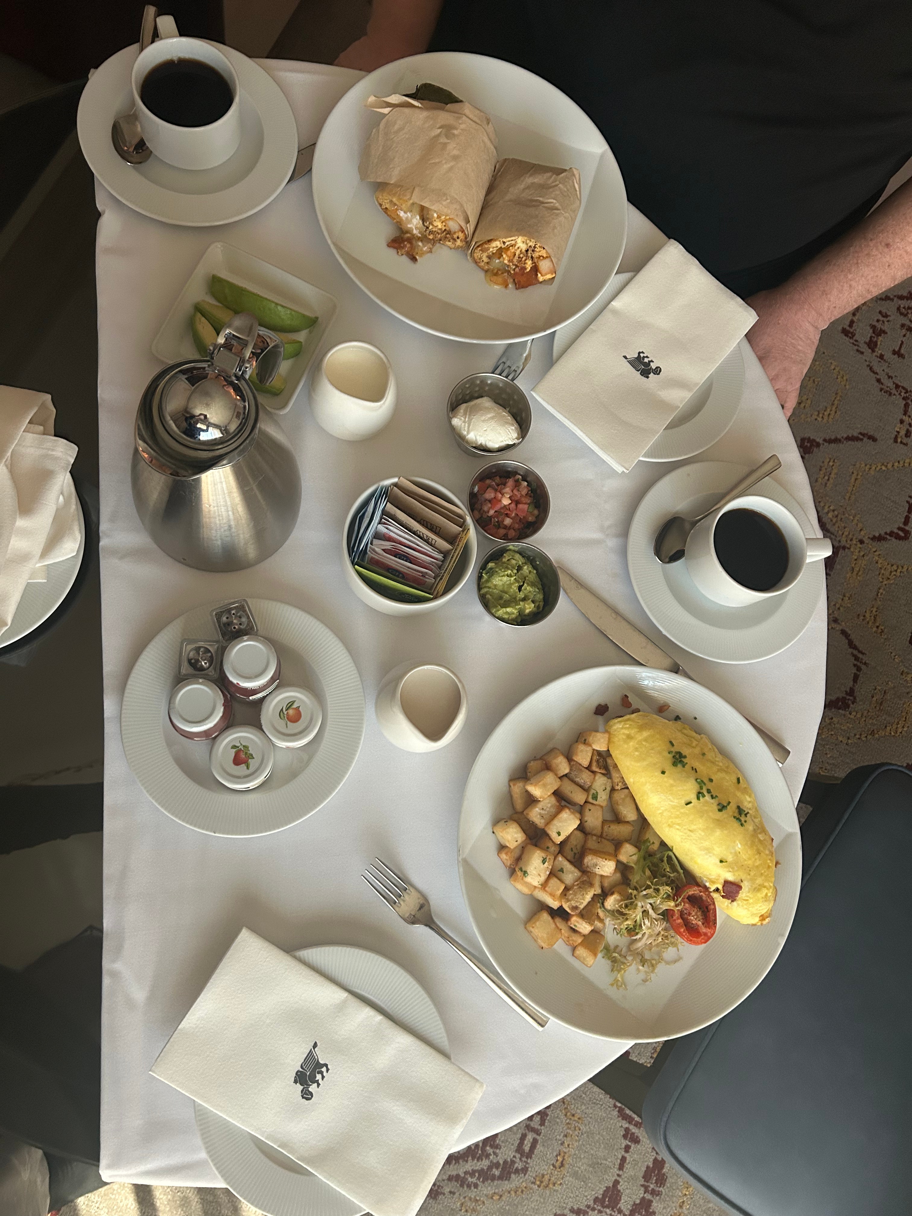
Needless to say, we didn’t wake up until afternoon the next day. Since we didn’t waste money at the casino, we wasted it on room service breakfast in the middle of the day. I had some writing to do as well as some work that couldn’t wait for my return. (Yeah, I know, I’m on vacation…but some of my duties are time sensitive. Other than a few emails and texts, I didn’t work much outside of these few hours in Vegas.) Thom enjoyed stretching out and decompressing a little from the intense driving we’d been doing. To do a trip as crazy as this one, it’s pretty essential to build in at least a half-day of recovery.

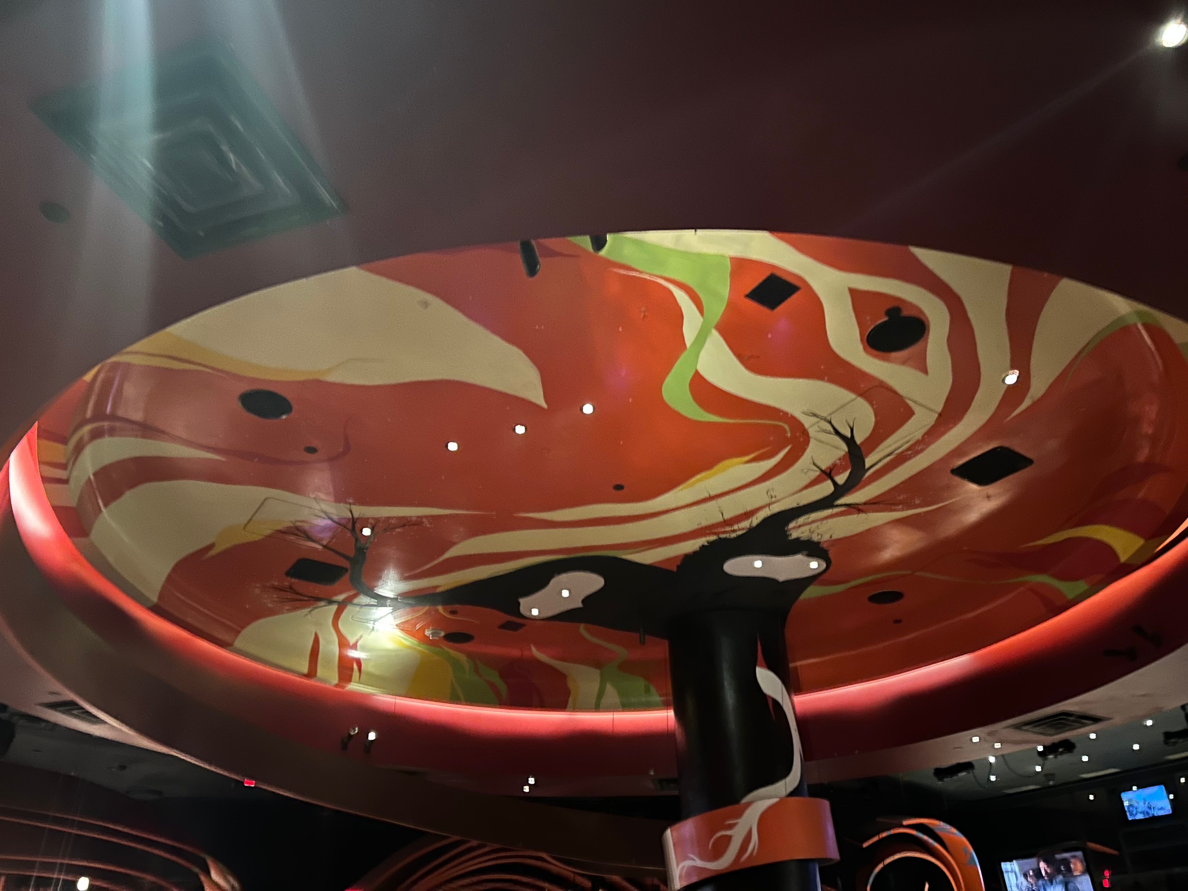
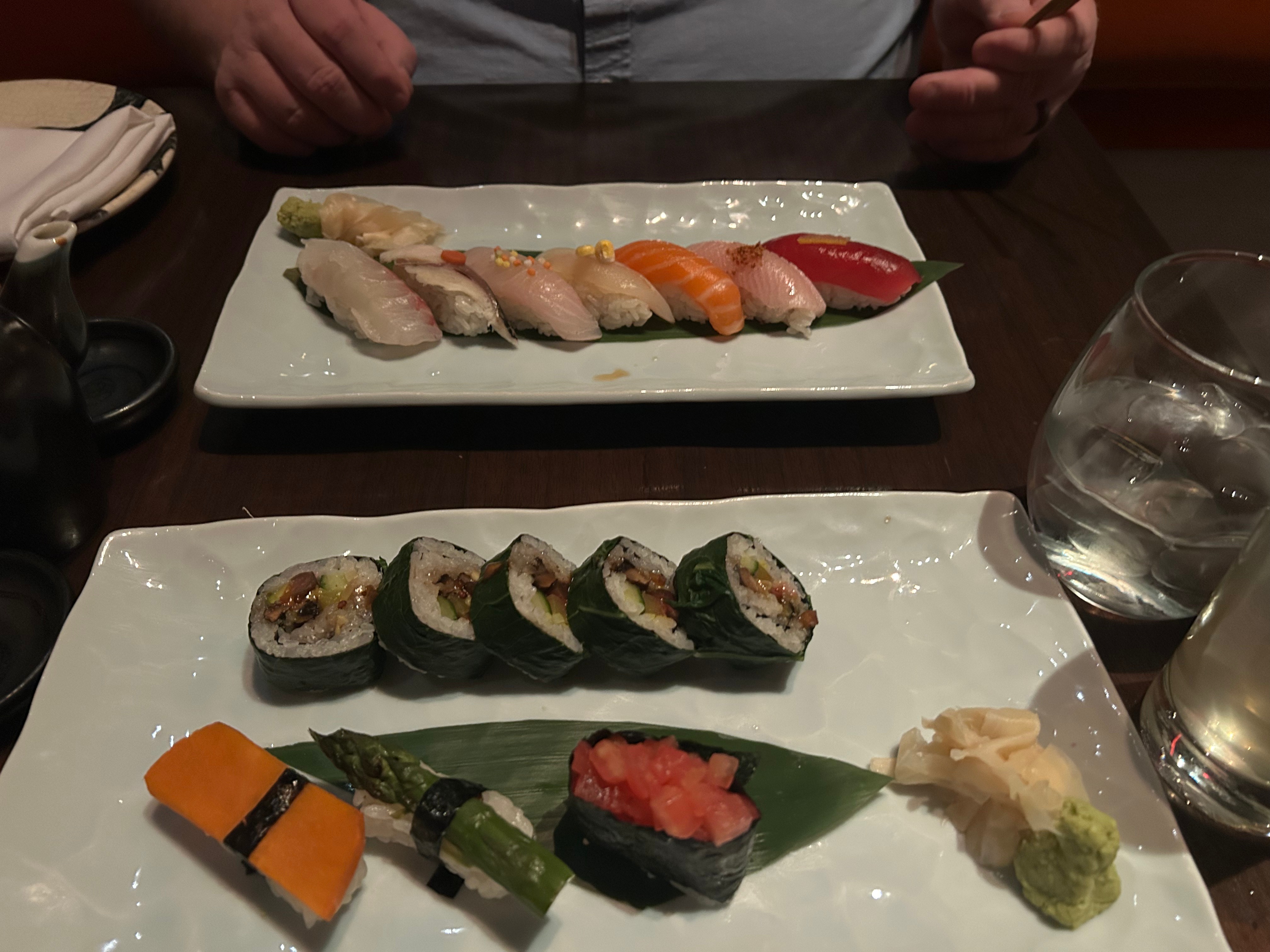
As evening approached, we got ready for the highlight of the whole trip–the Phish concert. We had a delectable dinner before the show at SushiSamba (a fusion of Japanese, Brazilian, and Peruvian cuisine). The atmosphere was super cool, the drinks were delightful, and the dinner was delicious. I got the chef’s choice vegan sushi assortment. All of the rolls were great, but the highlight roll was downright spectacular: it had portobello mushroom, takuwan, cucumber, avocado, and a wasabi onion all wrapped in rice and a collard green wrapper.

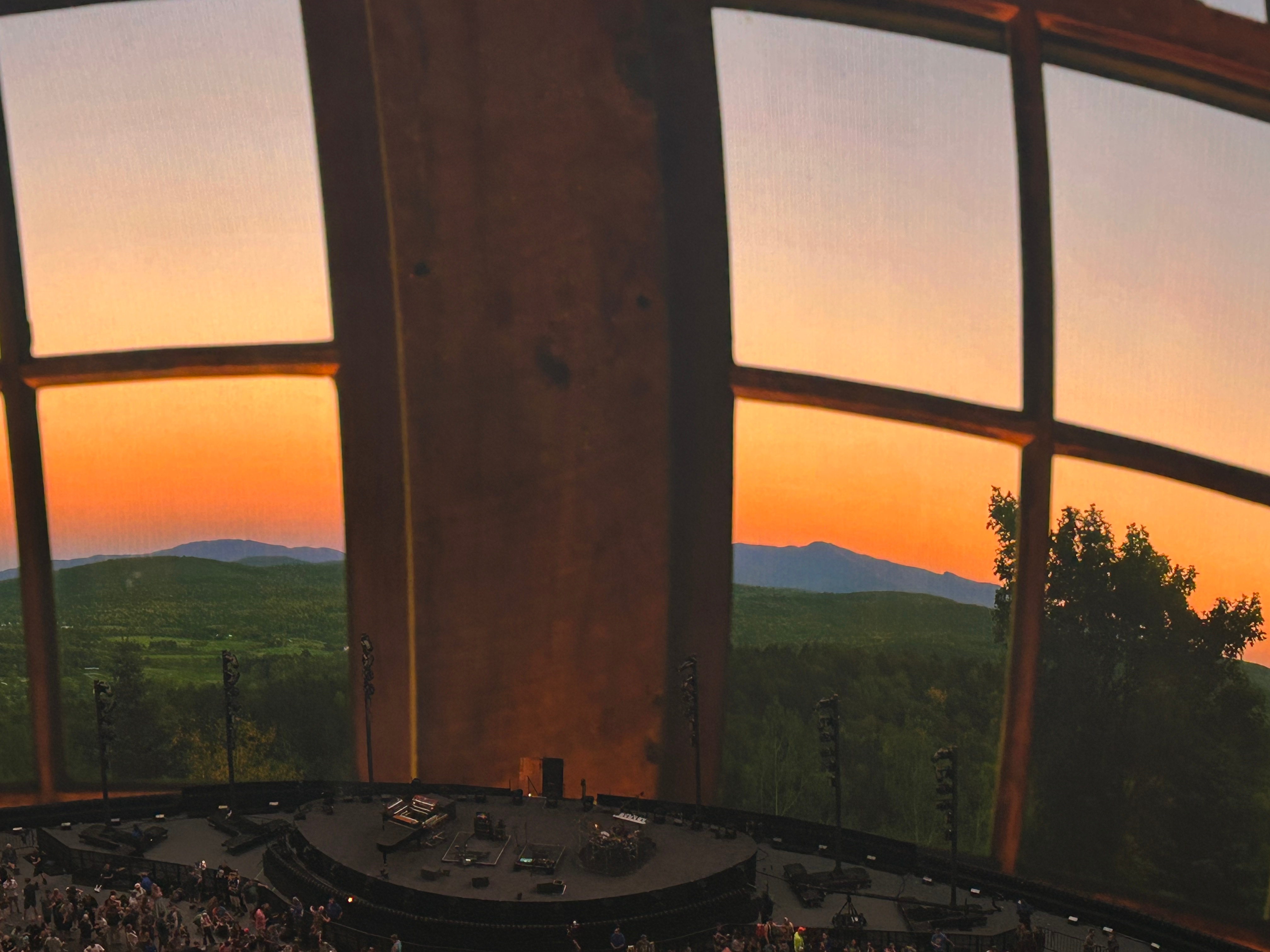
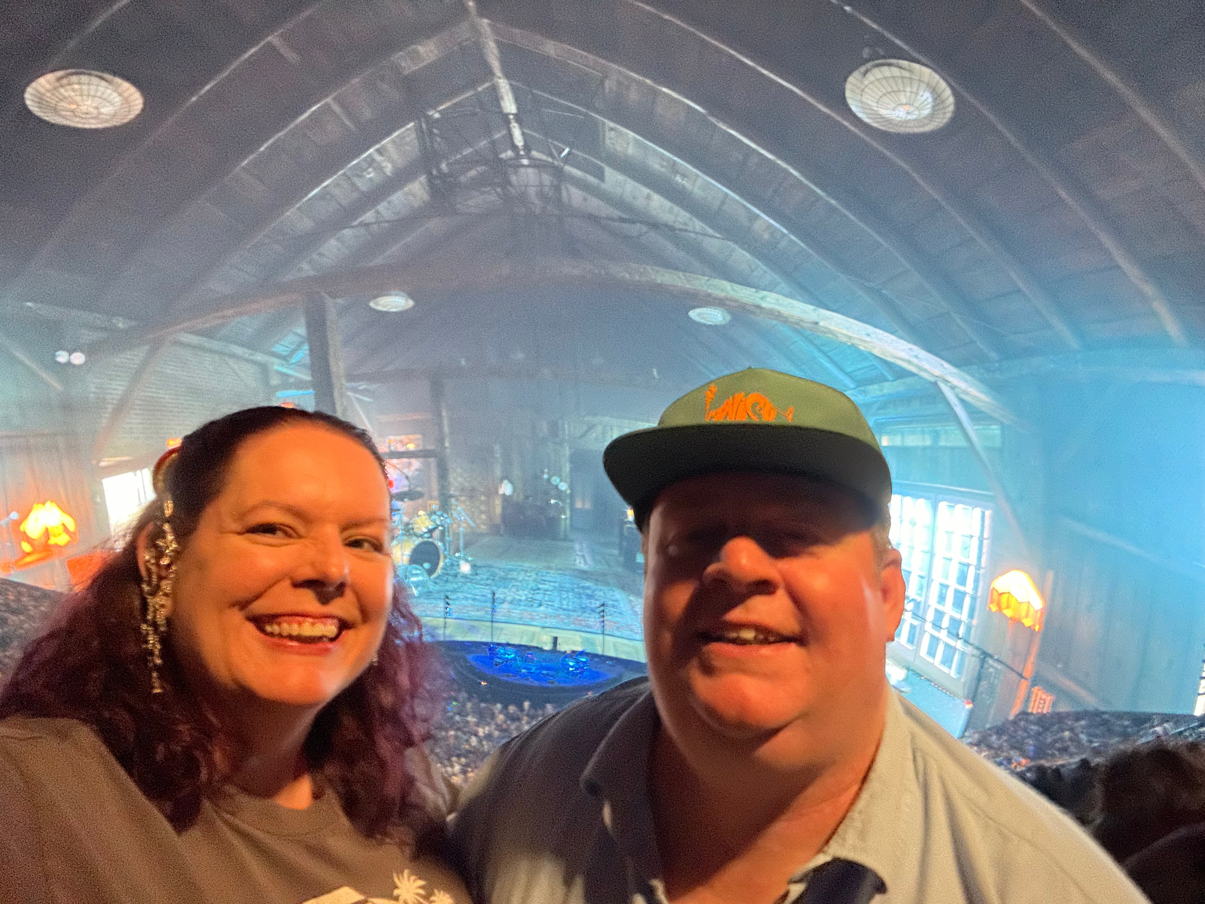
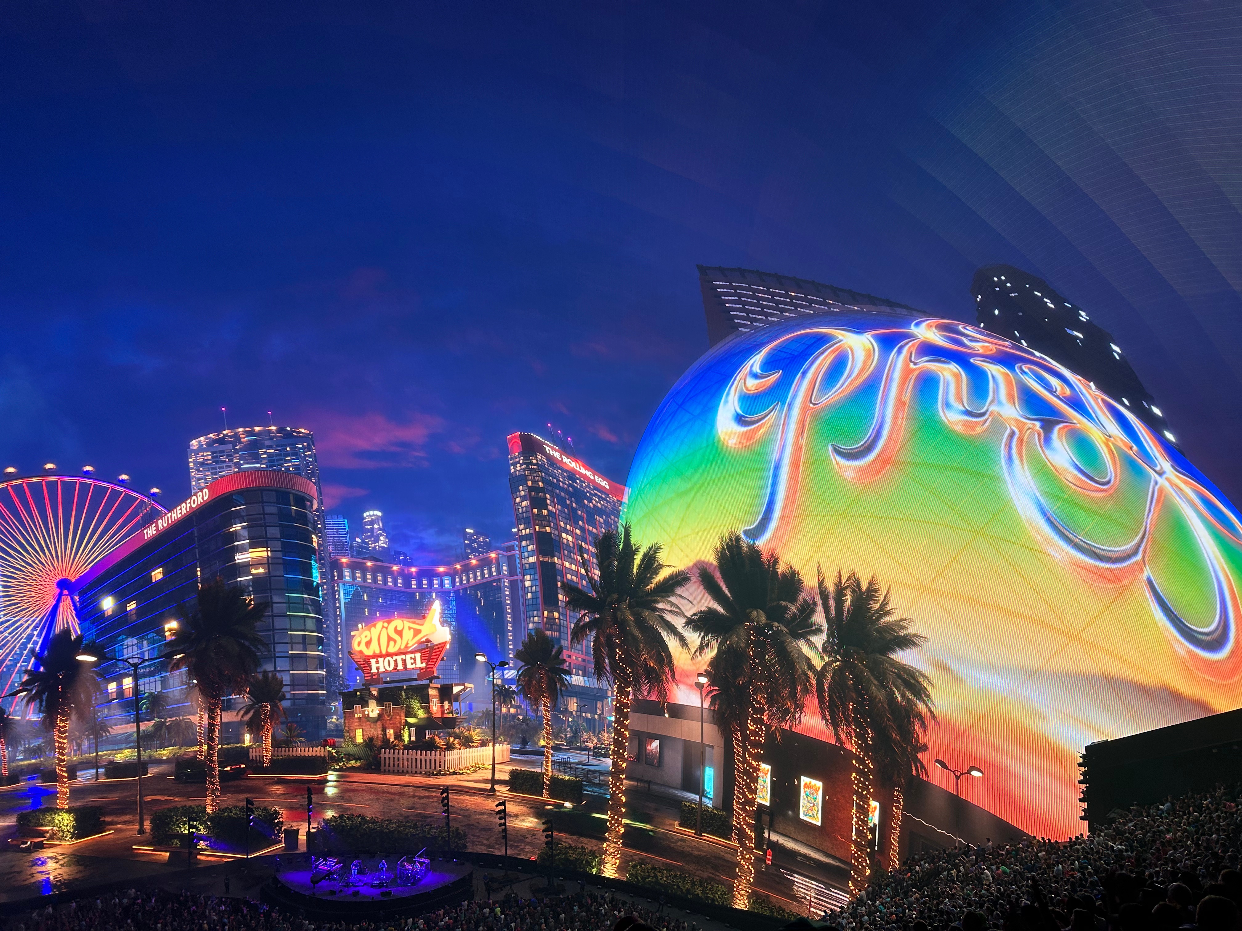
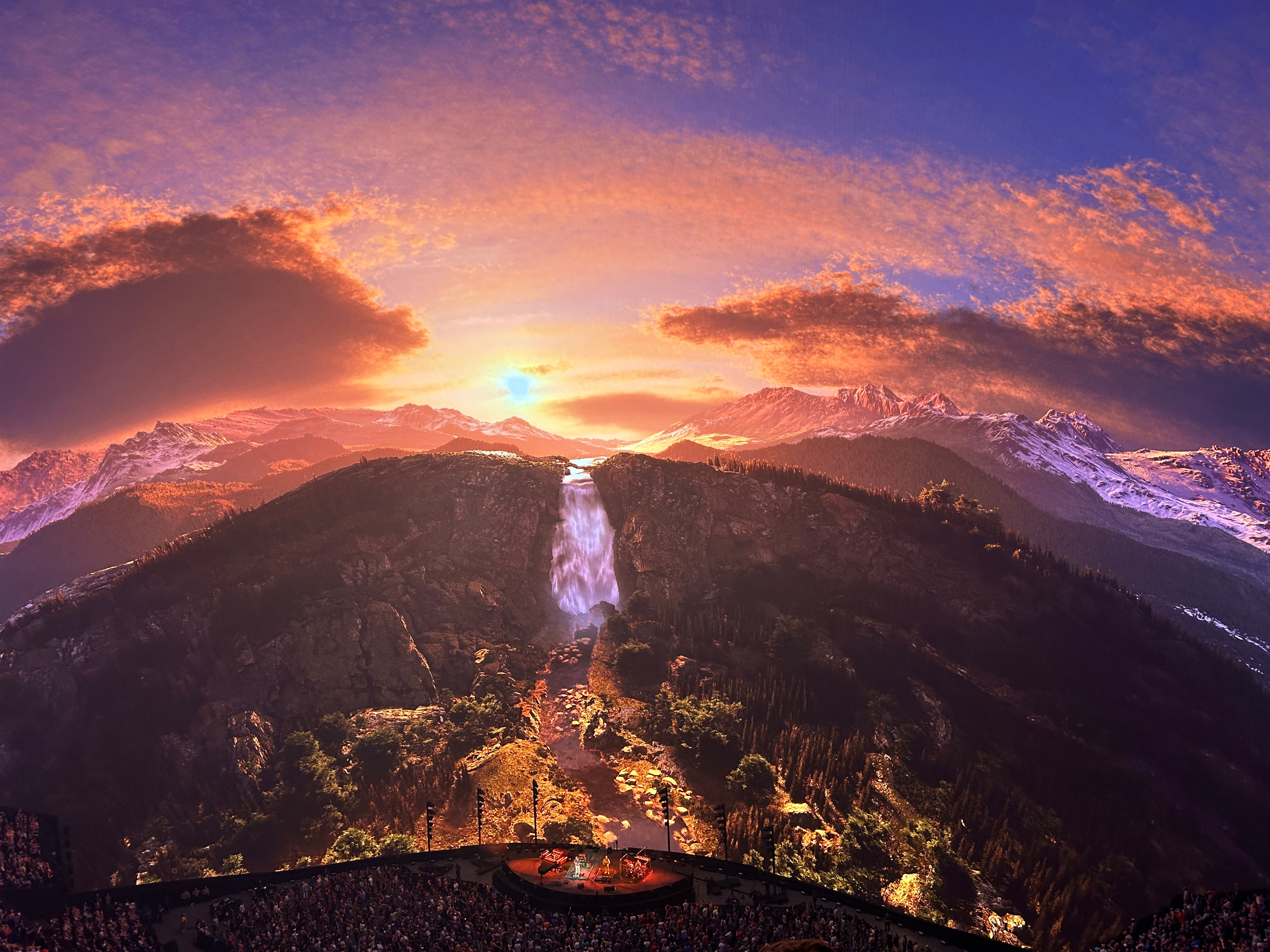
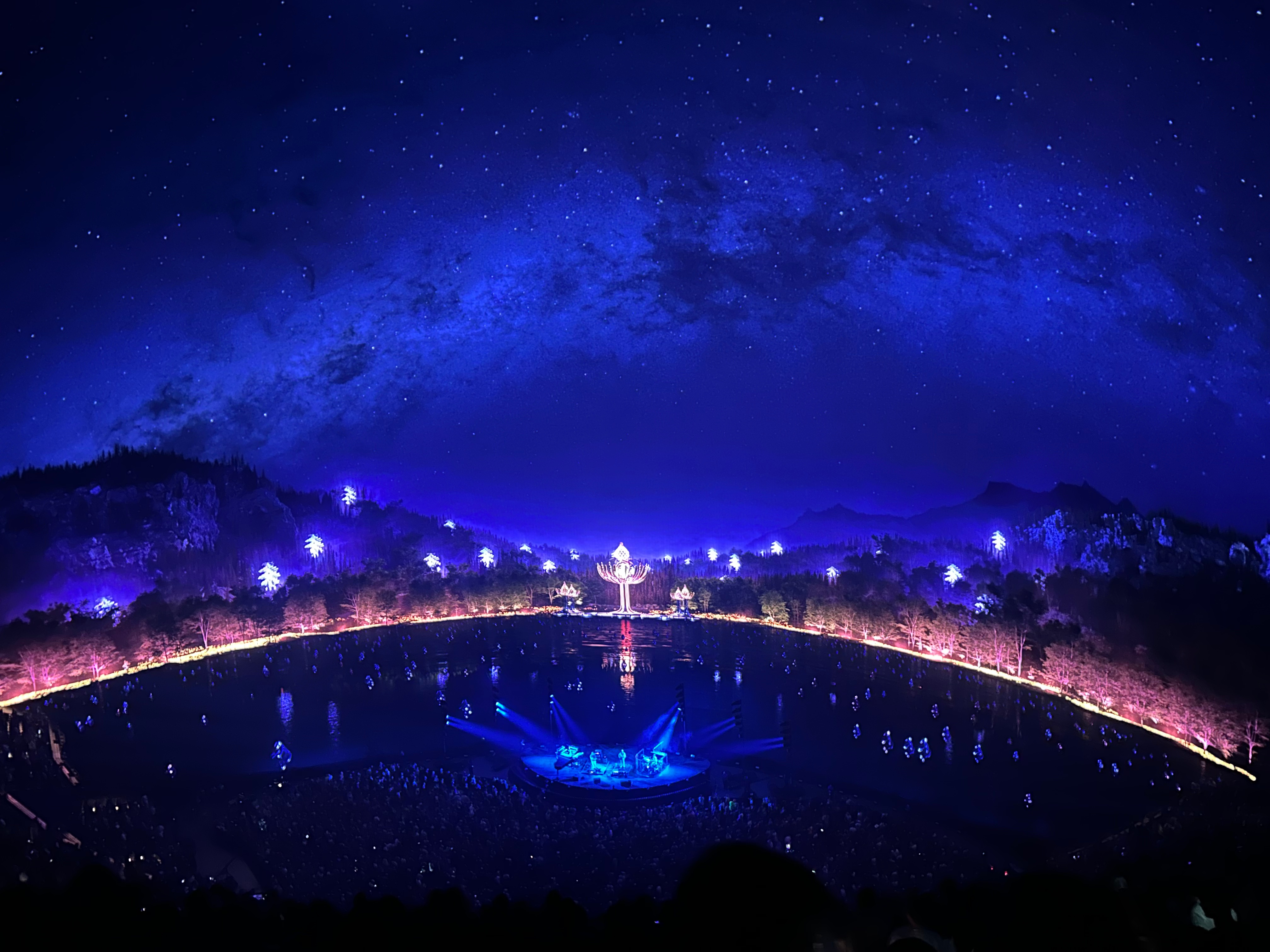
Then, finally, the piece-de-resistance…we made it to the Sphere. Tonight instead of giant mountains, we had a giant venue. This place features a 160,000 square foot display that wraps over and around you. We chose seats up high so we take it all in. It also touts immersive sound with 167,000 programmable speakers. As if that wasn’t enough, it’s also a 4D experience with infrasound haptic seats. I have to say, I didn’t make use of the 4D sensation as I didn’t sit down except during the intermission. However, Thom said it was fantastic to feel the music in the seats.

I hadn’t been reading the reviews of this show, as I didn’t want any spoilers. Plus, they were doing three weeks of three night sets, so there was no telling which sets we would get on a given night. (Oh how I wish we could’ve stayed for all three nights!) We got two great sets plus an awesome encore. I loved that some of the visuals included desert formations and starry nights, it tied in so perfectly with our trip. Here’s the set list for those who love Phish:
Set 1: The Wedge, Nicu, Halfway to the Moon, Leaves, 555, Dirt, Punch you in the Eye, Golgi
Set 2: I Heard the Ocean Sing, Wave of Hope, Prince Caspian, Lonely Trip, Runaway Jim, Sneaking Sally, Drift While Sleeping
Encore: The Sloth, Squirming Coil

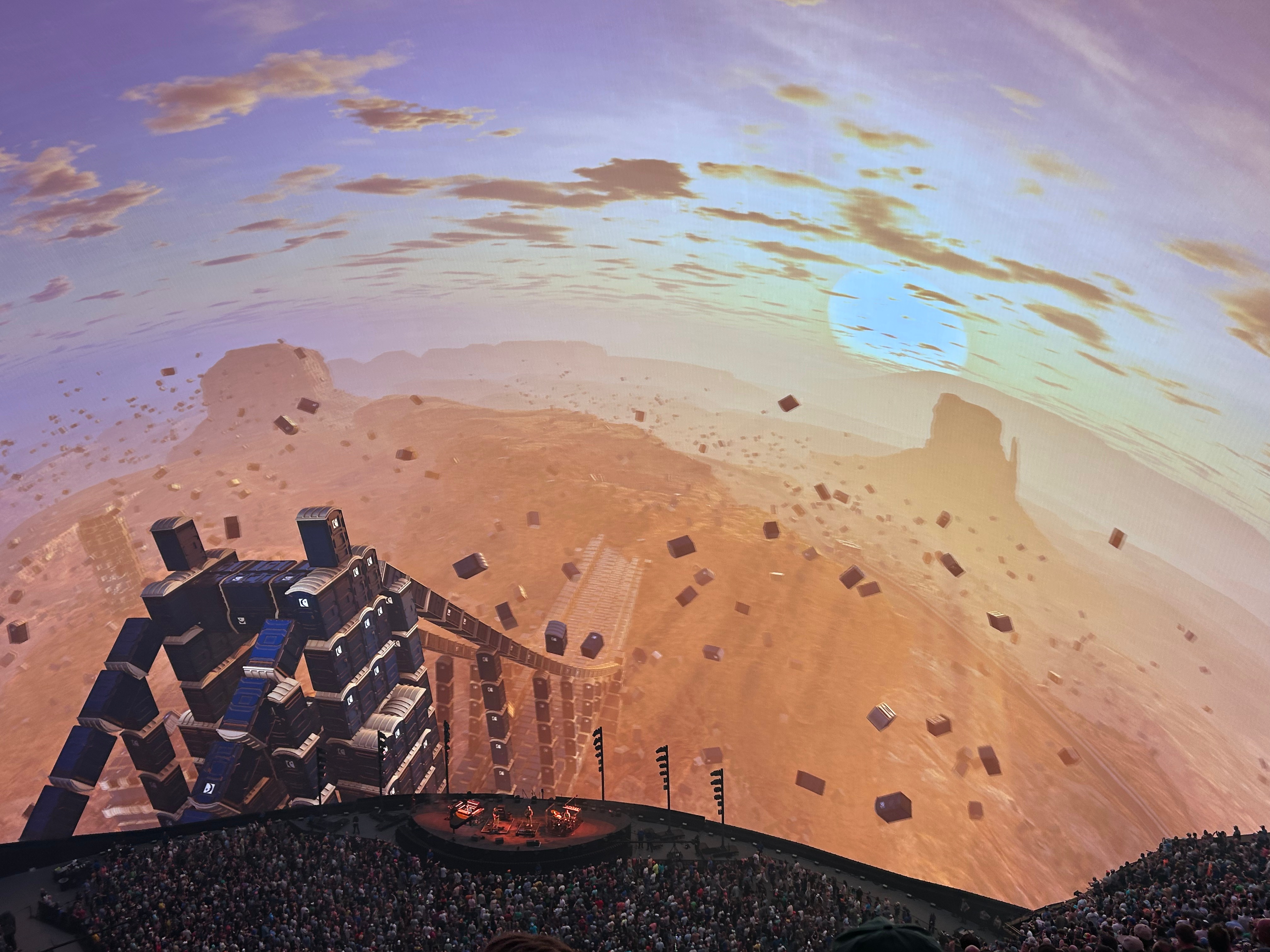
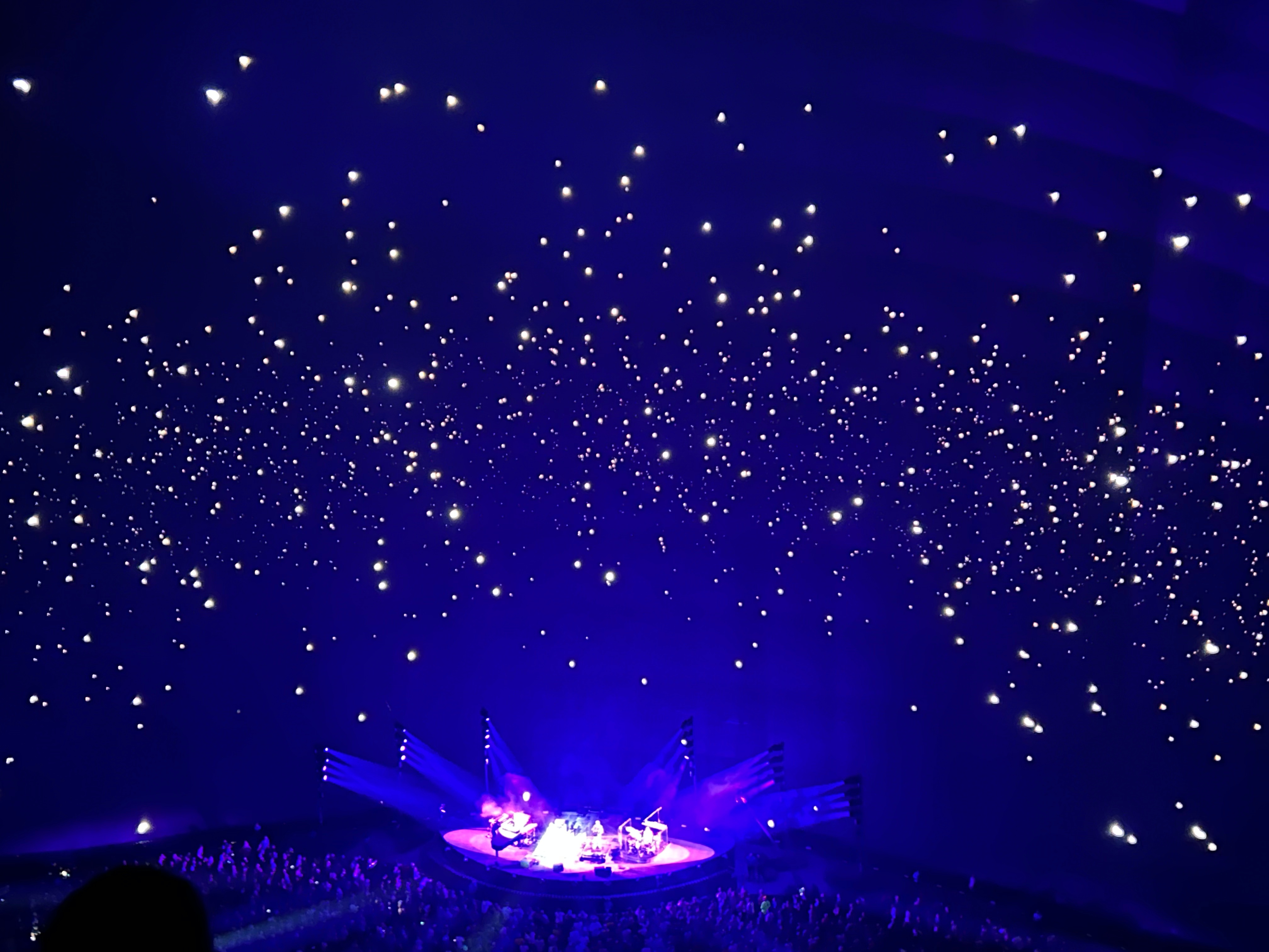
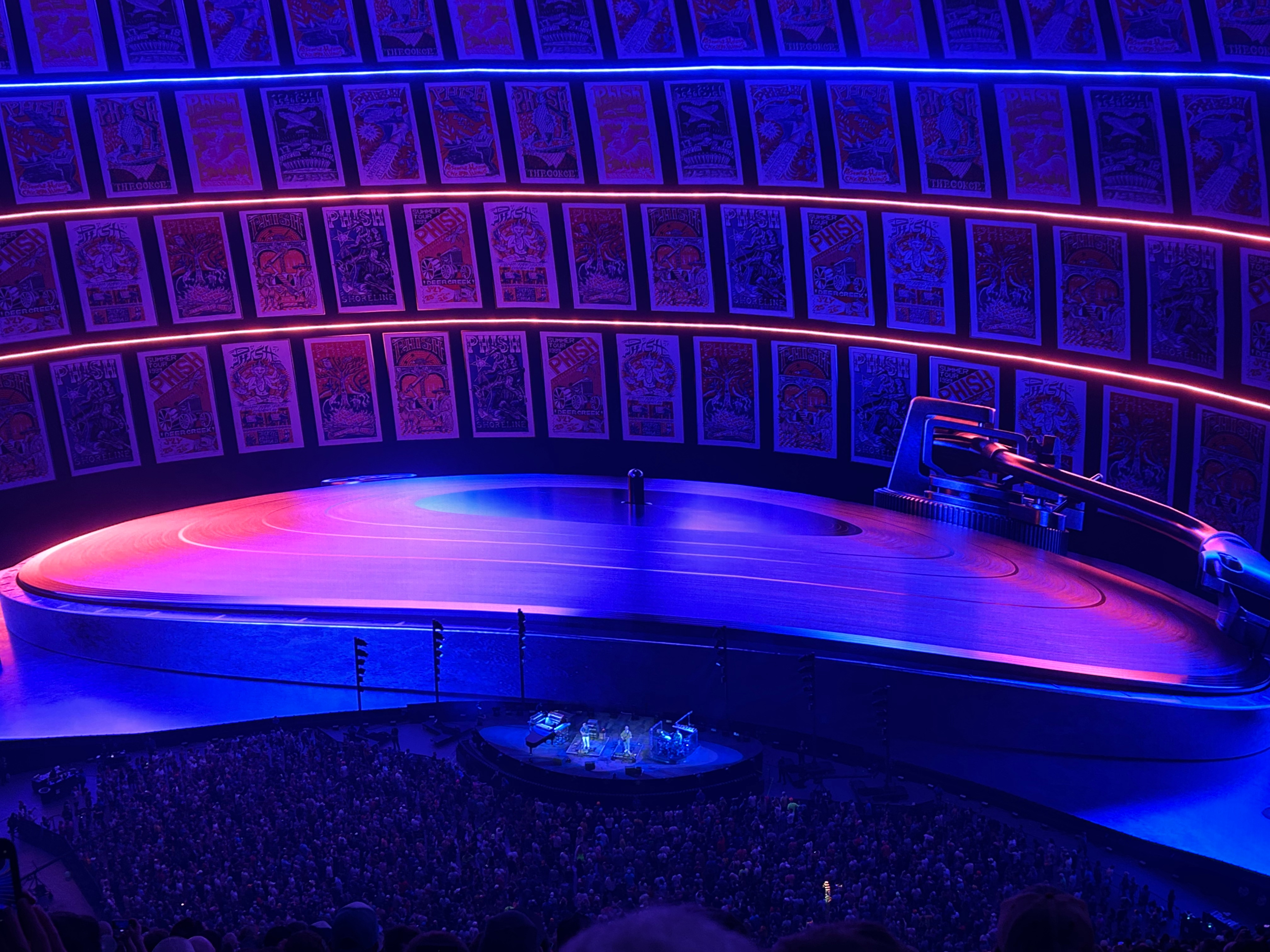
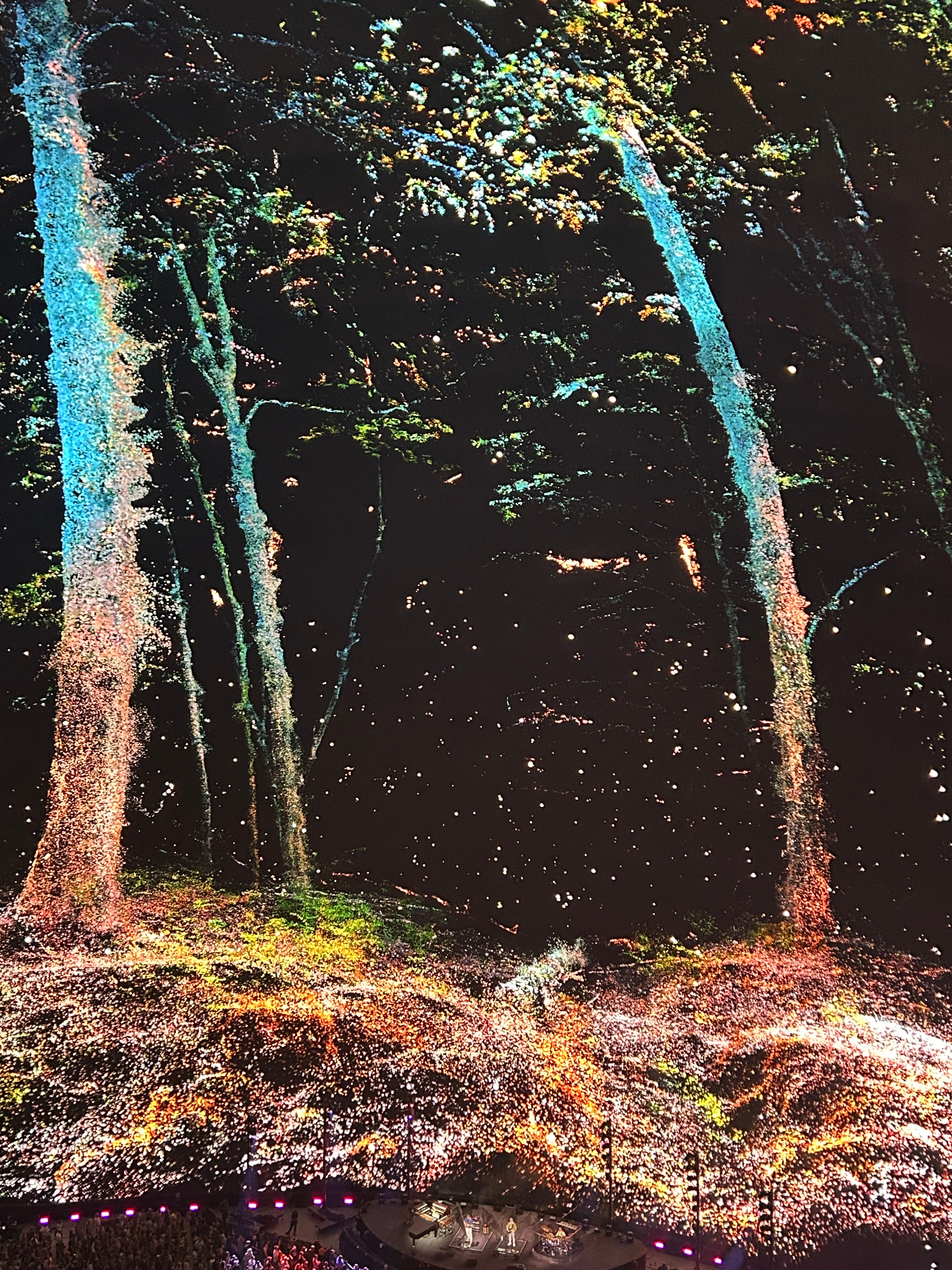
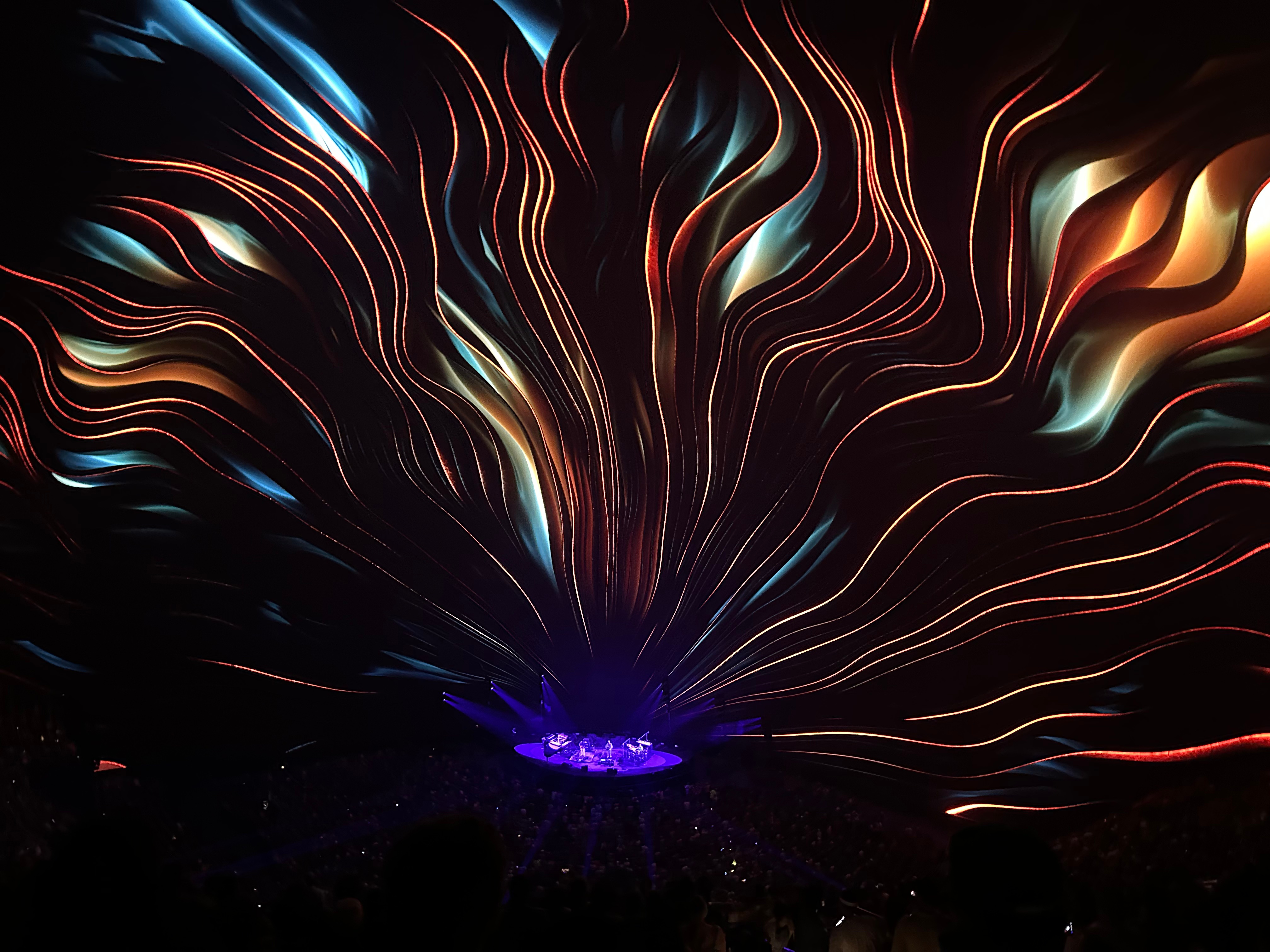
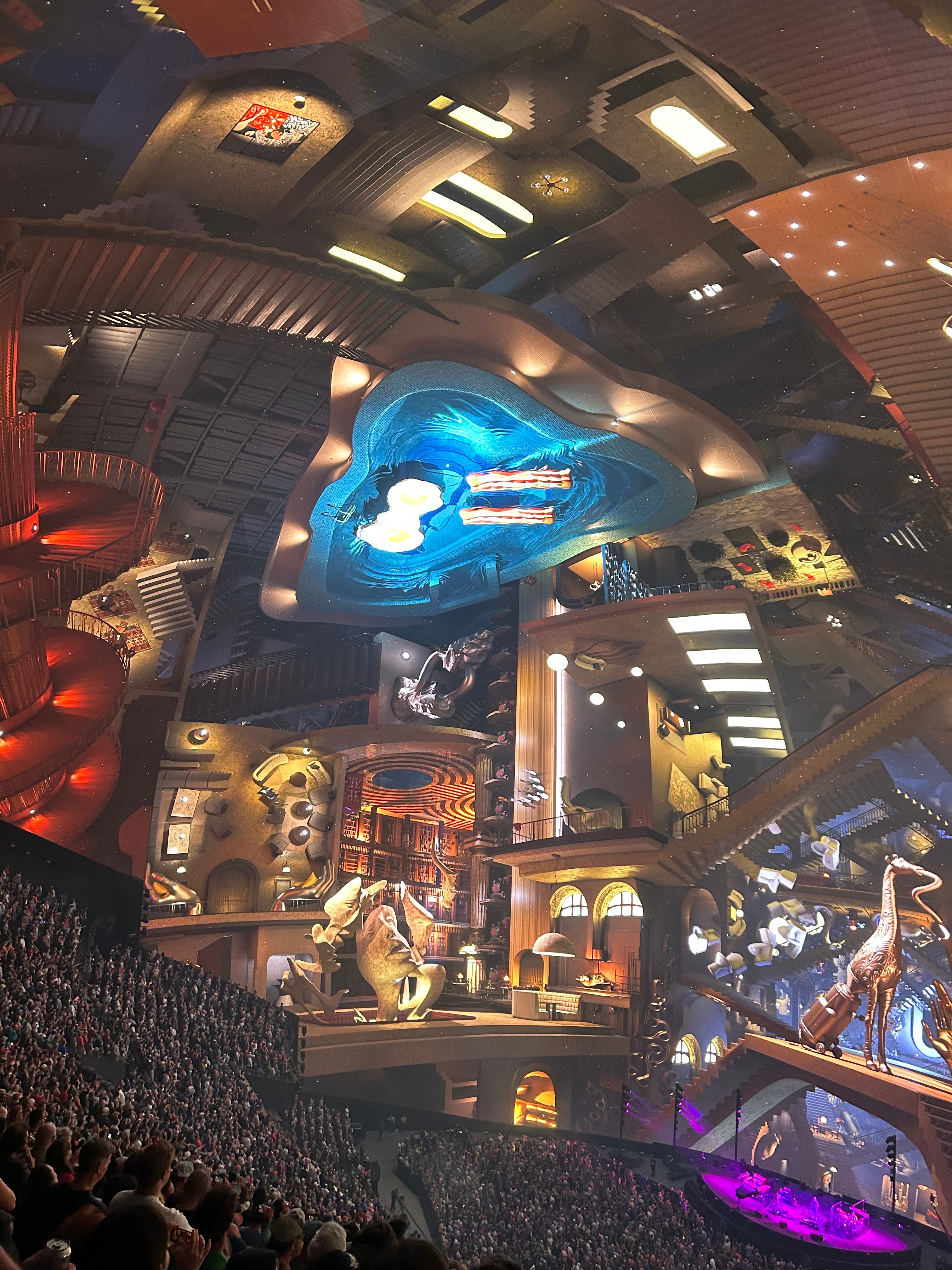
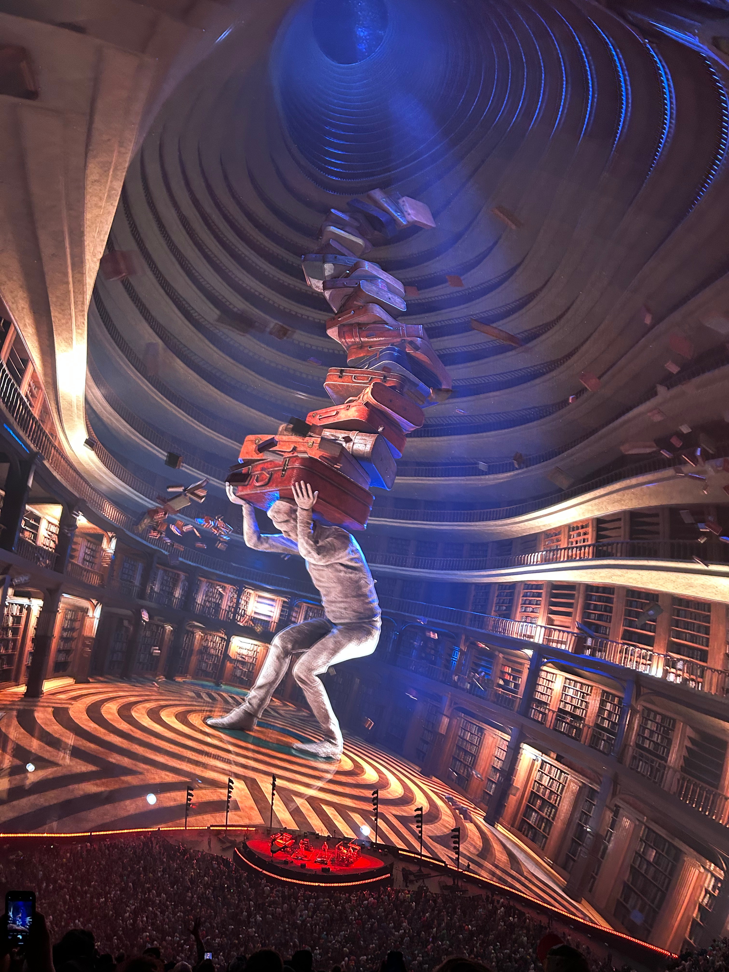
They utilized every possible visual and sound effect throughout the emtirety of the show. Photos don’t really show the visual effects well, as every scene moved and flowed with the music. One of the audio effect highlights was Wave of Hope. The music traveled around the stadium, much like “the wave” would physically travel around a stadium. I don’t understand the music science here (like how they kept the sound so clean in such a large place, with no echo and the ability to have this kind of specific-location sound). All the visual effects were cool, but my favorites were the sky lanterns and an Escher-like maze of rooms, doors, and staircases. While I love Phish music from all eras, I was delightfully surprised to find that the majority was from my favorite era…the early jam songs plus the some soaring melodic tunes from the Rift/Billy Breathes era. They still sound amazing live despite touring for four decades. So glad we got to see them again.

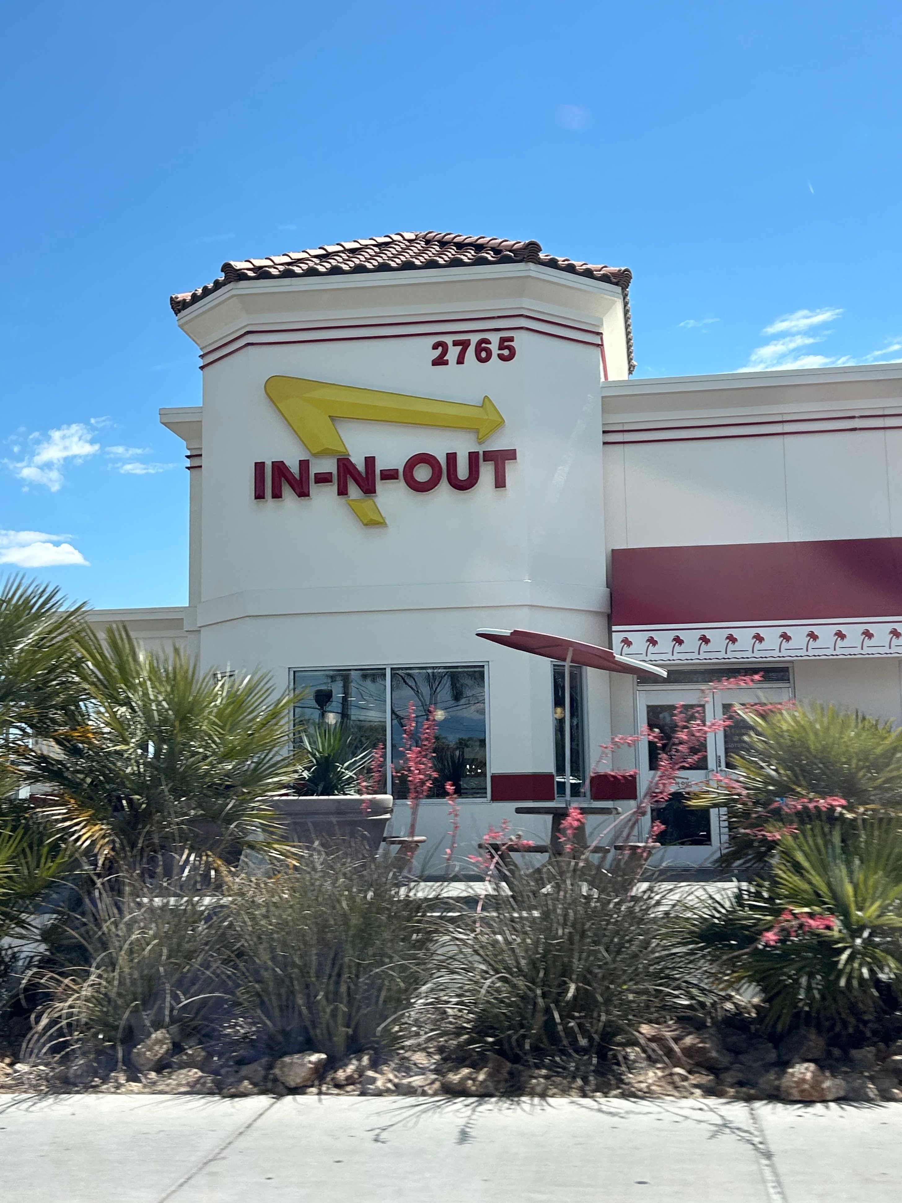
It felt like I had just put my head on the pillow when the alarm went off, but it was time to hit the road again. Lines were long at all the fast breakfast places, so we decided to get breakfast on the road. After navigating security, baggage, and valet, we headed out of town and stopped at In & Out for breakfast. Or so we thought. At 10:30, they were open and busy, so we just assumed there would be breakfast. Turns out they serve burgers around the clock. So, a hamburger for breakfast; this definitely wasn’t helping my ever-sliding grasp of what time it was. I was doing so good with the time changes until Vegas; then we went into Pacific time, stayed up all night one night, slept part of the next day, and stayed up late again. So burgers for breakfast kinda broke my mind.

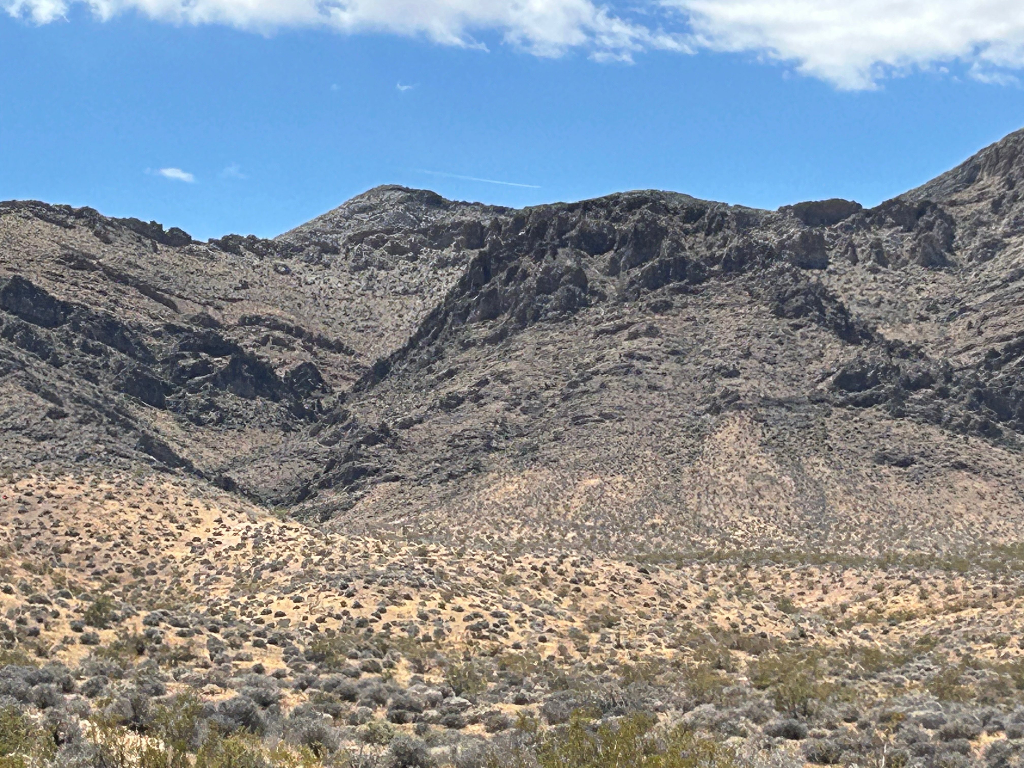
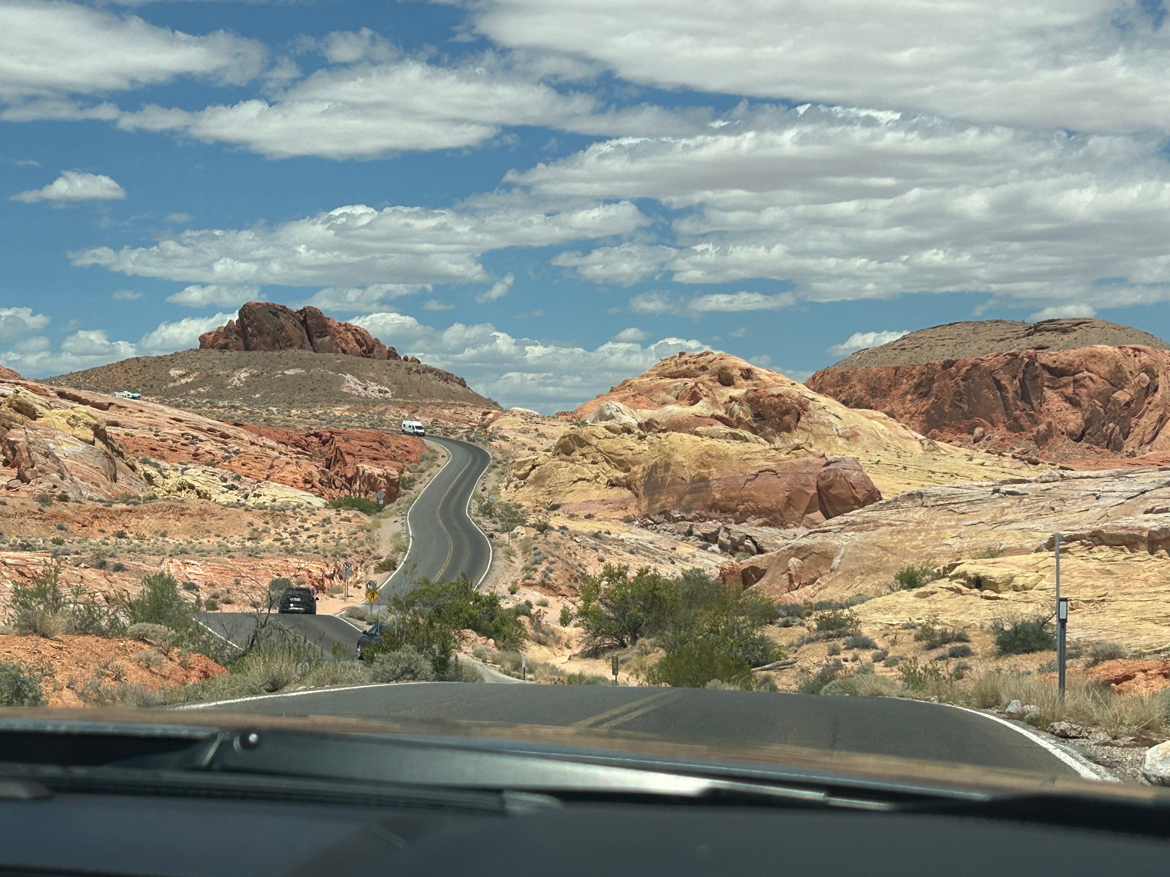
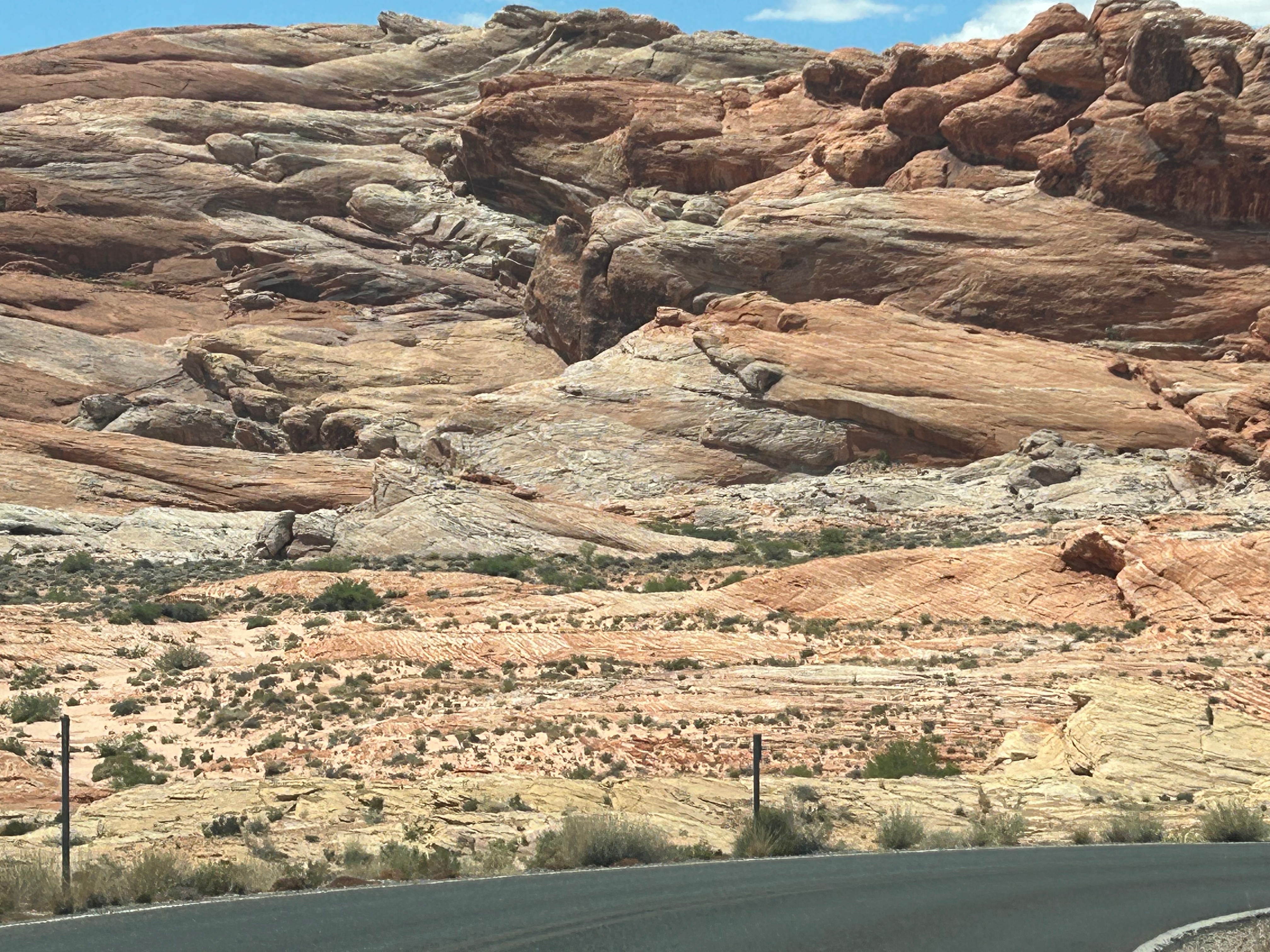
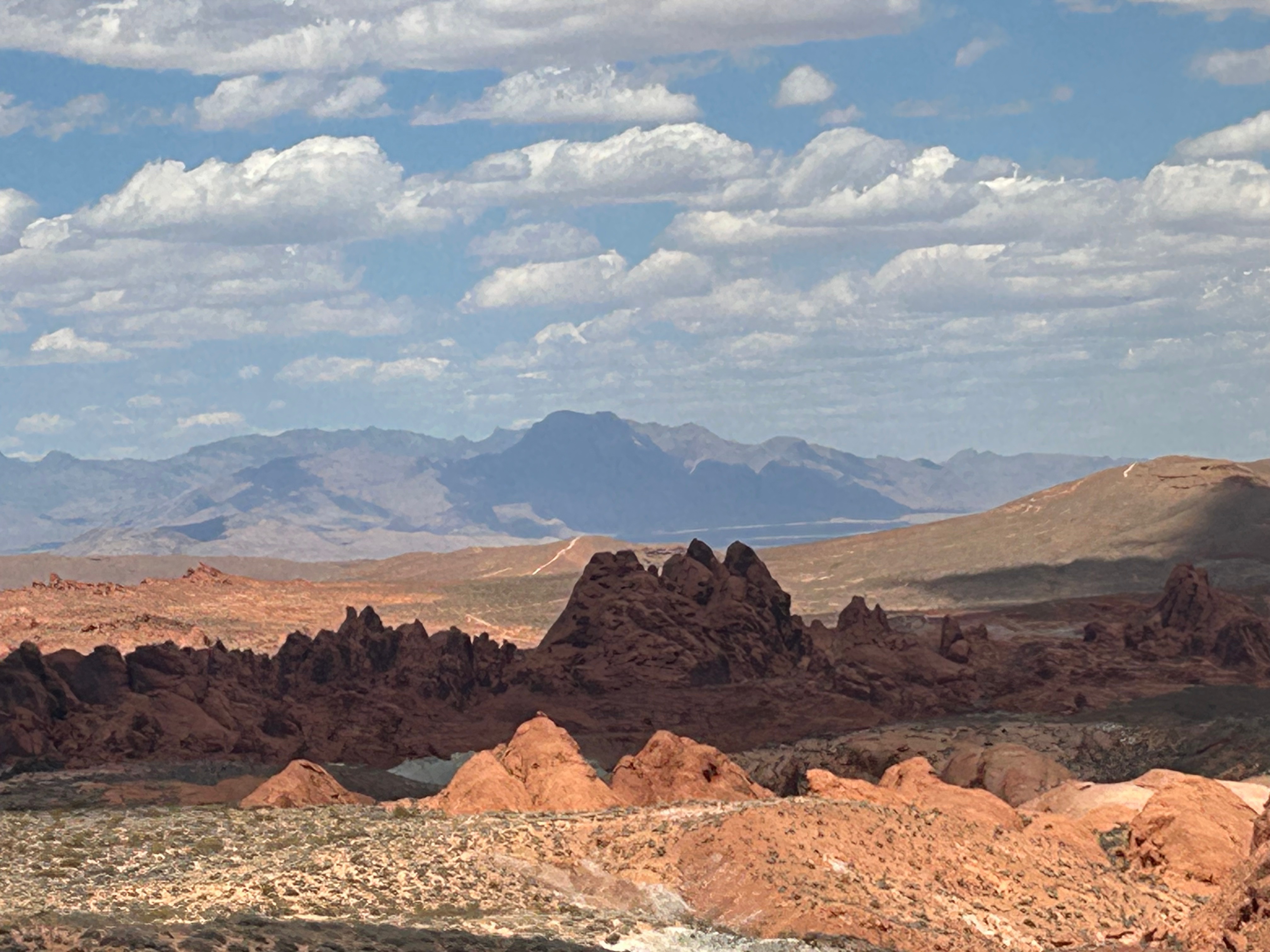
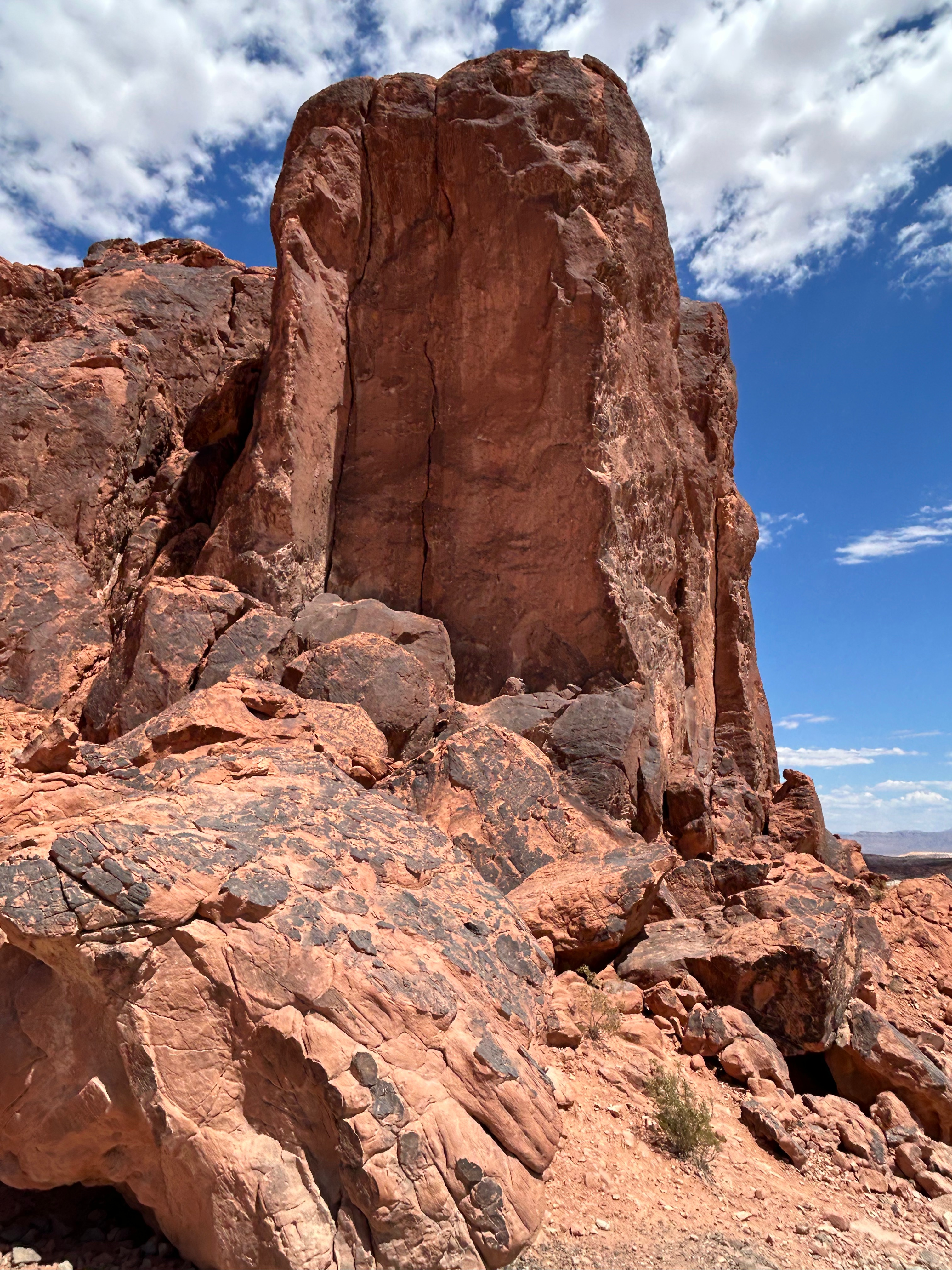
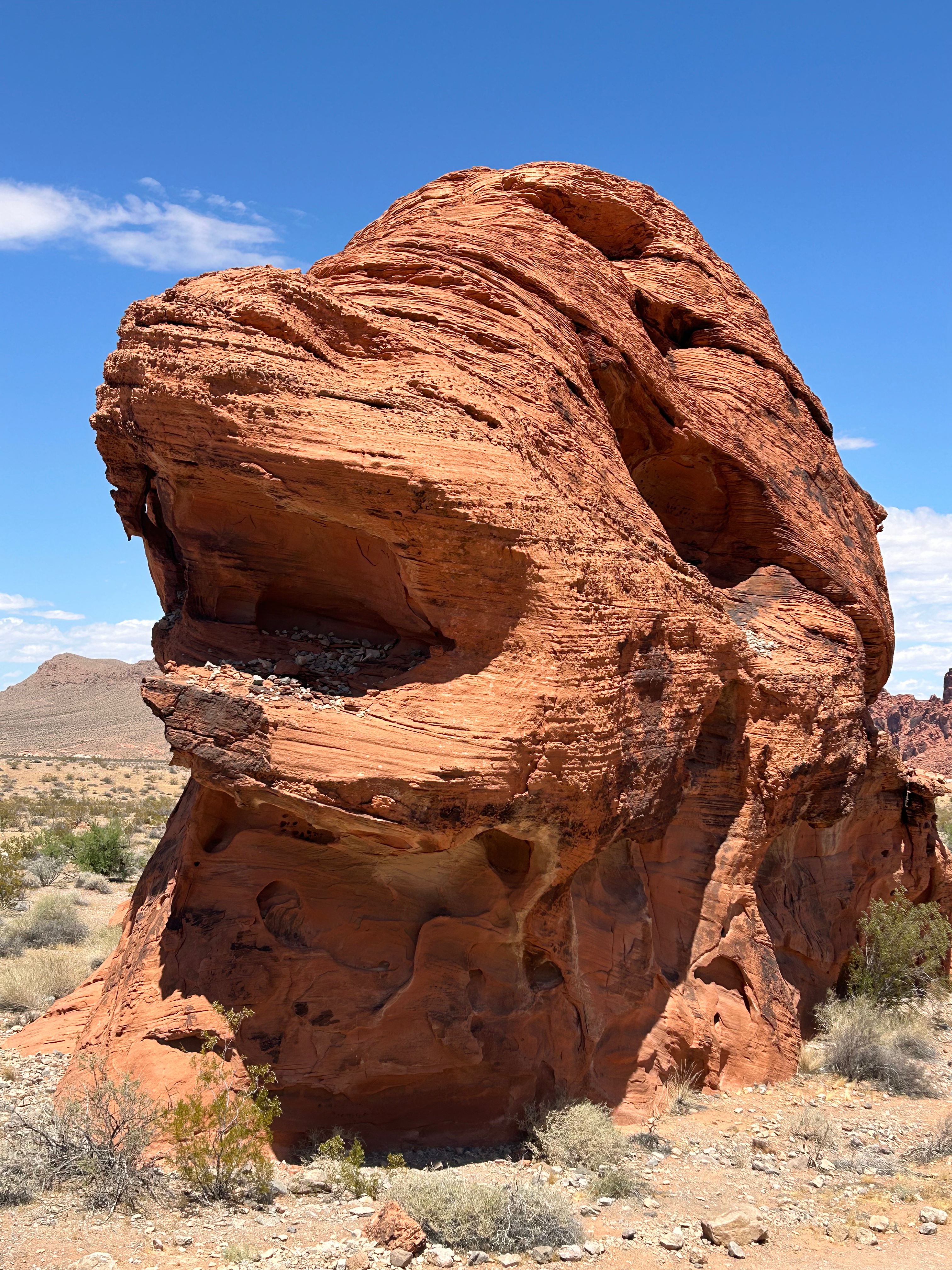
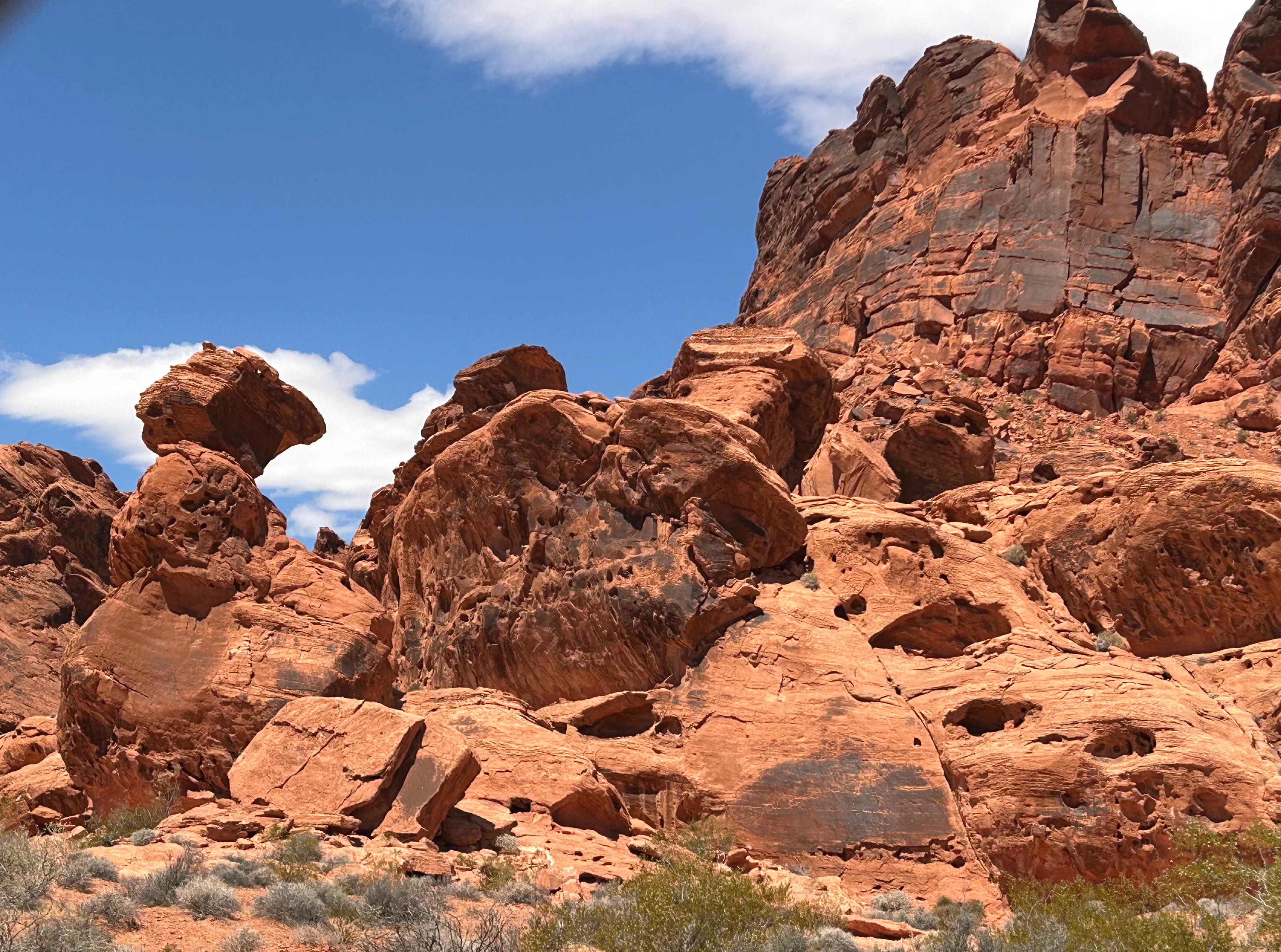
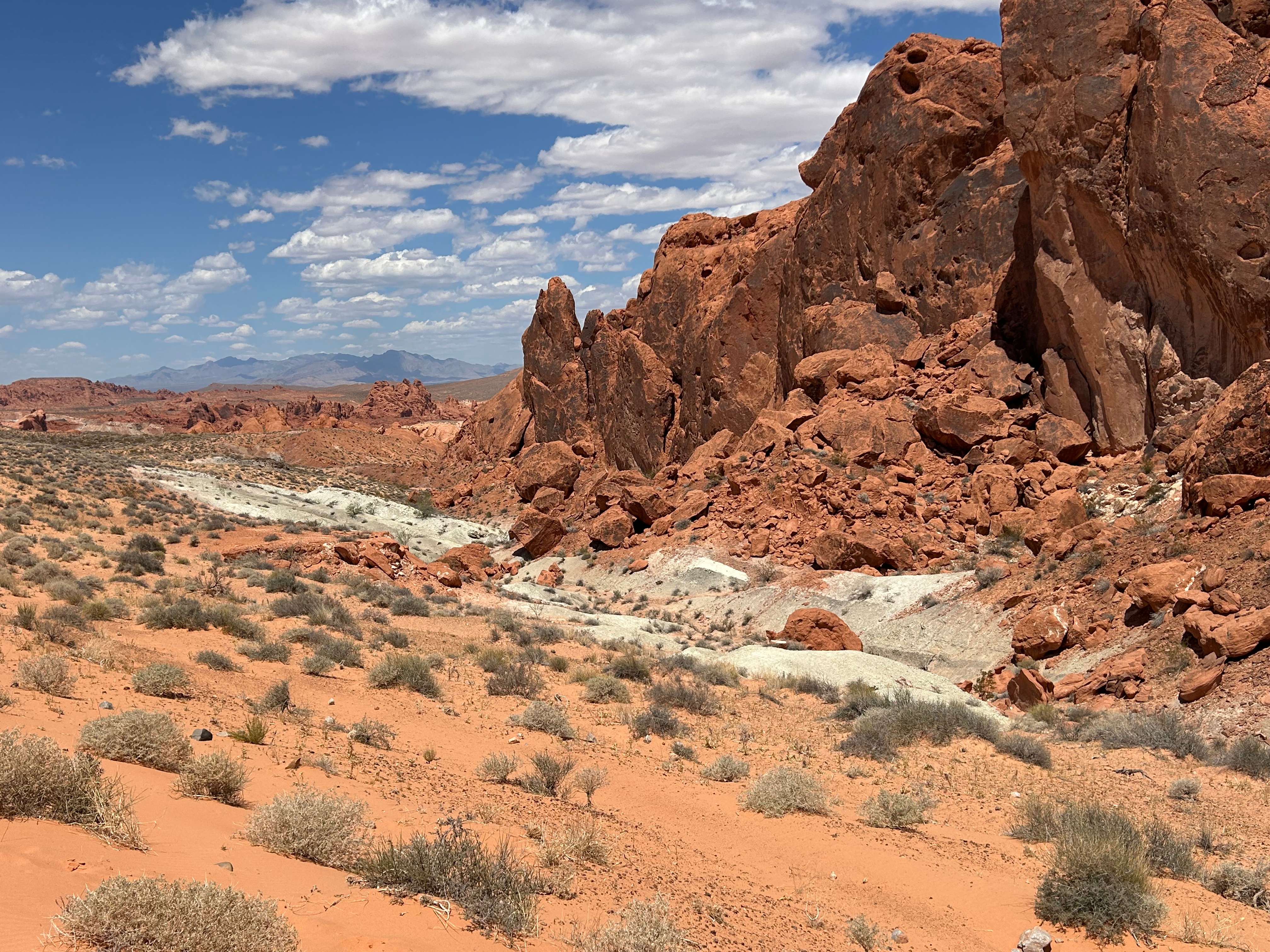
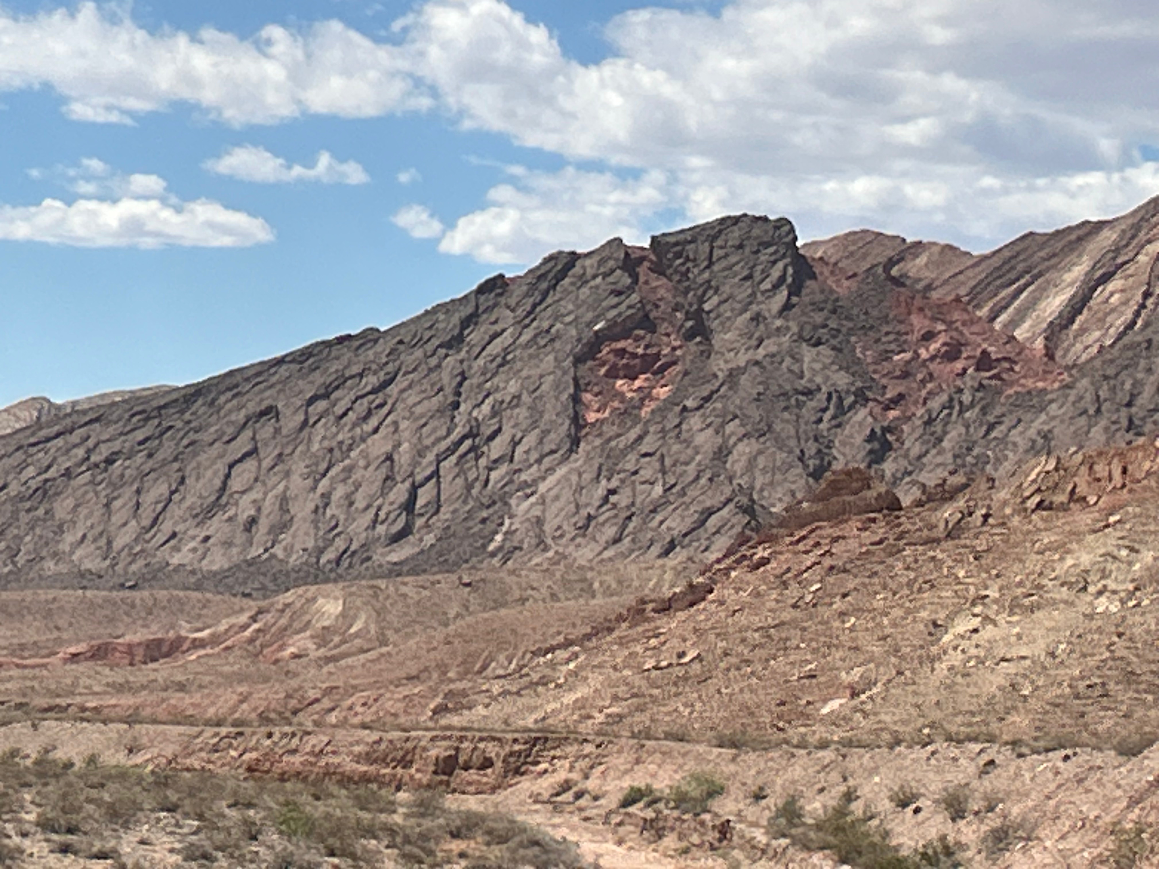
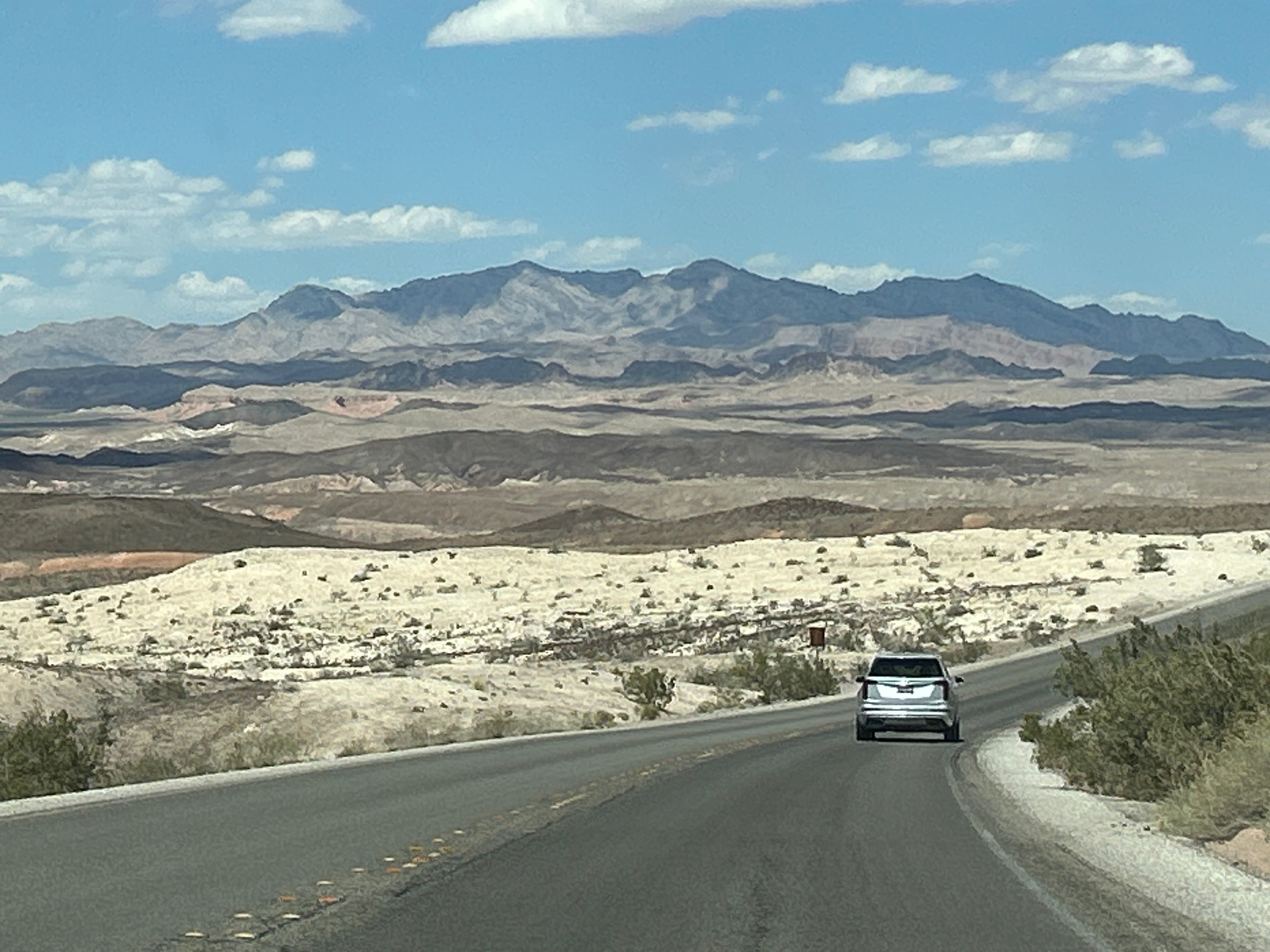
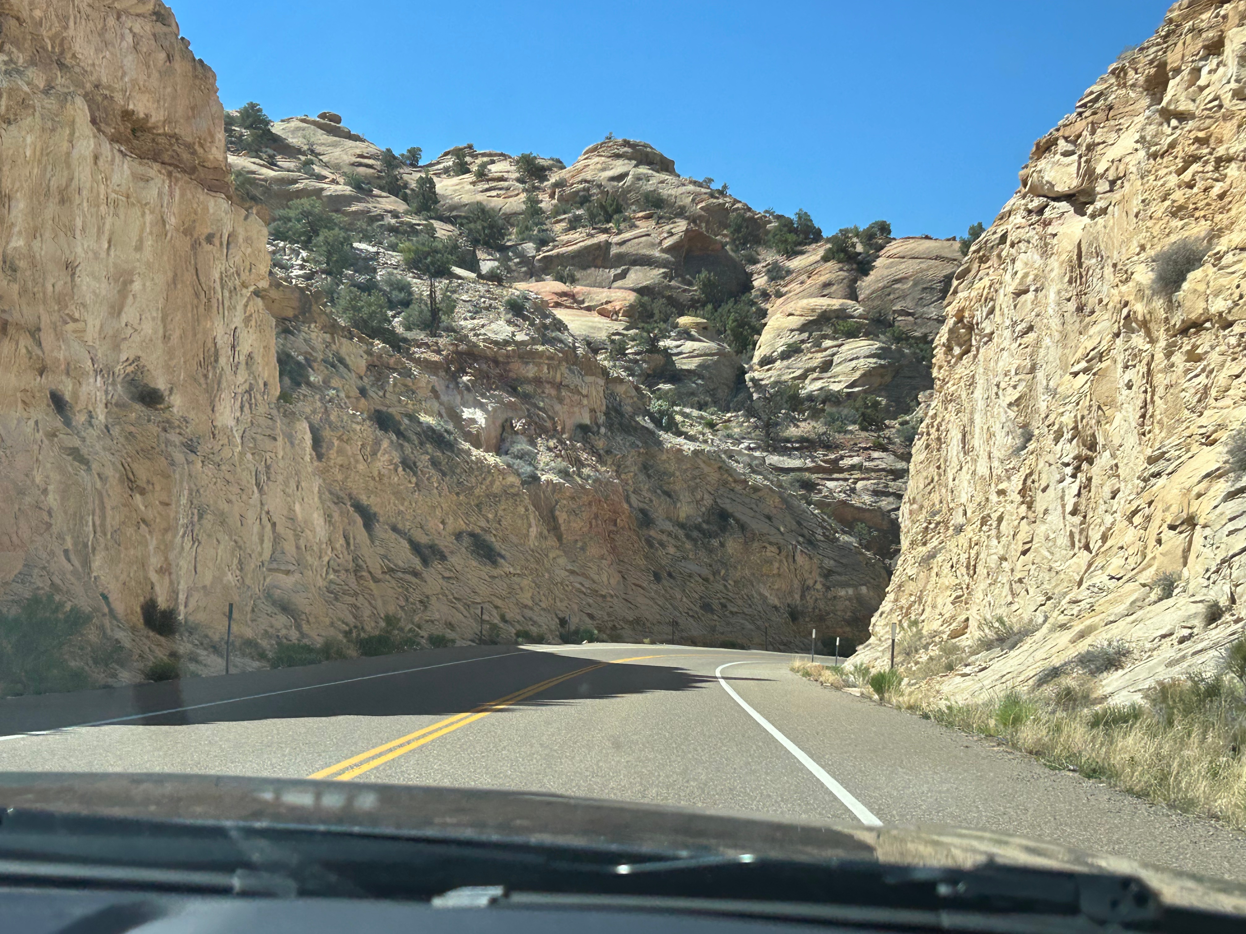
After food, we zoomed off towards the desert to the Valley of Fire State Park. We took all three scenic roads through the area: The Valley of Fire Highway, White Domes Road, and the Northshore Road. The roads in, through, and out were all filled with red sandstone and limestone formations.

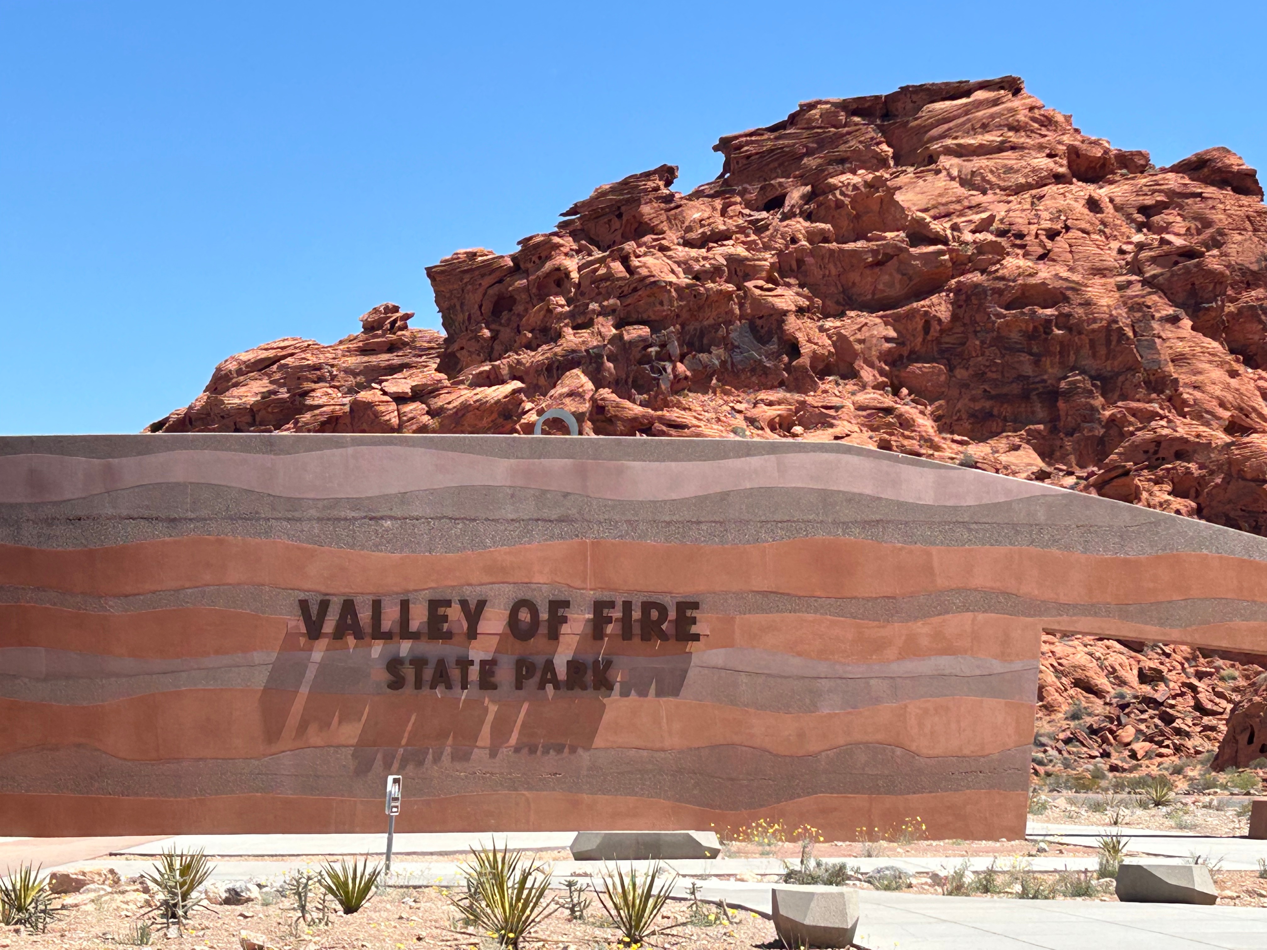
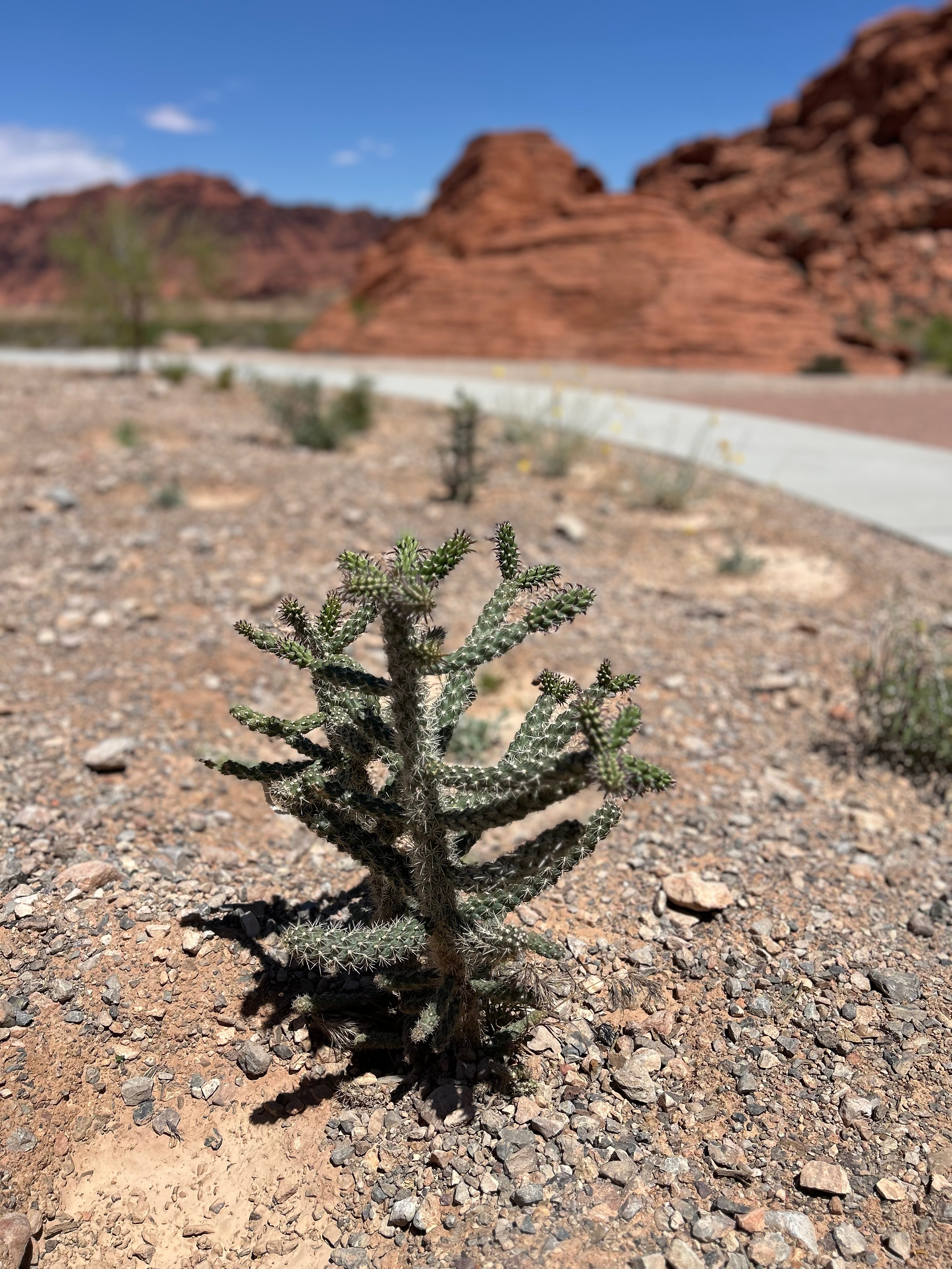
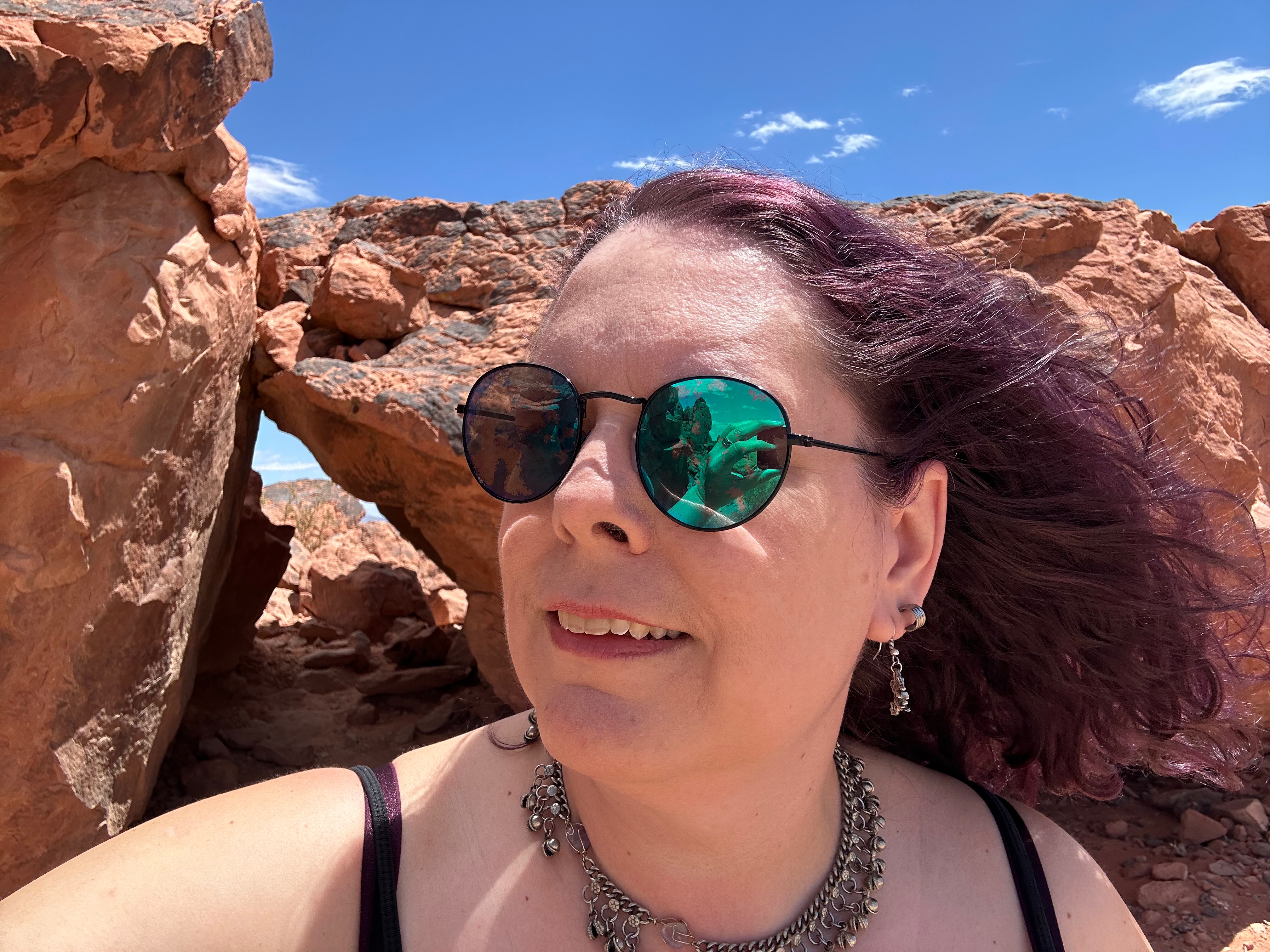
Turns out, most of the trails were closed from May to September because of the heat…and here we arrived on May 1st. We spent the earlier part of our trip dealing with areas closed from September to May because of snow/ice, so this heat-based closure was quite ironic. The heat is so problematic that they have covered parking for all vehicles. We did stop at one of the trails that was open (the Fire Waves trail), so I could take a short walk. The warning signs everywhere were a little daunting (“Heat Warming. You Might Die.”). Temps were only in the low 90s, so I wasn’t too concerned. Soon, even on my short walk, I understood the warning a little more. The sun was brutal and oppressive. And the heat not only came from overhead, but was also emanating up from the hot sand. There was a little breeze, but it felt like when you open the over door…dry and hot. I got to see some cool arches, a few lizards darting from shrub-to-shrub, and one of the beehive formations.

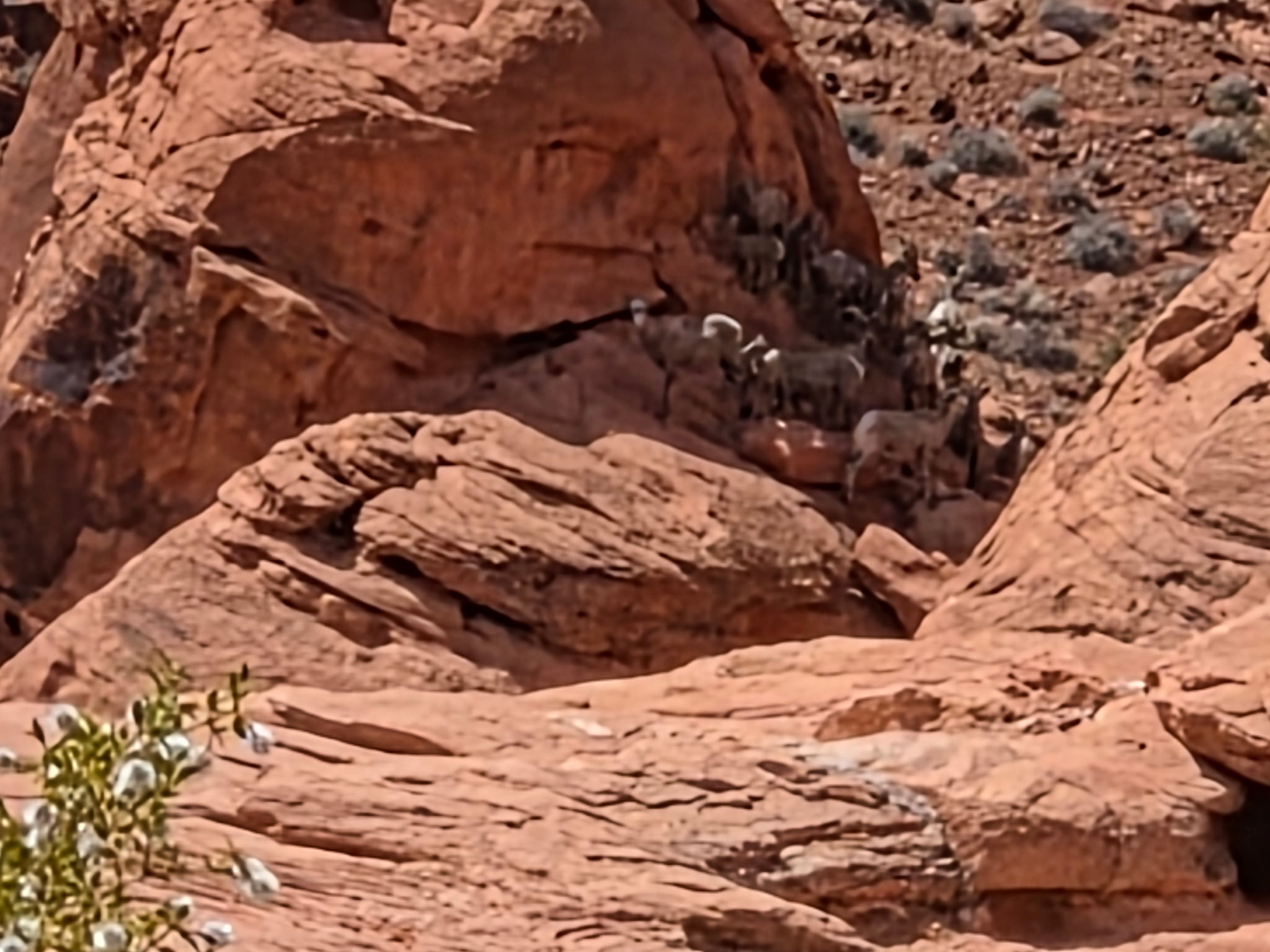
Feeling like I’d gotten a taste of the desert trail, I turned back to continue our scenic route through the park. Fun fact: Star Trek Generations was partly filmed here. As we rounded one corner, I saw in the far distance a herd of Big Horn Sheep up on a rock in the shade. Finally! We’d seen signs for Big Horn Sheep ever since South Dakota, but I had given up on seeing one at this point.

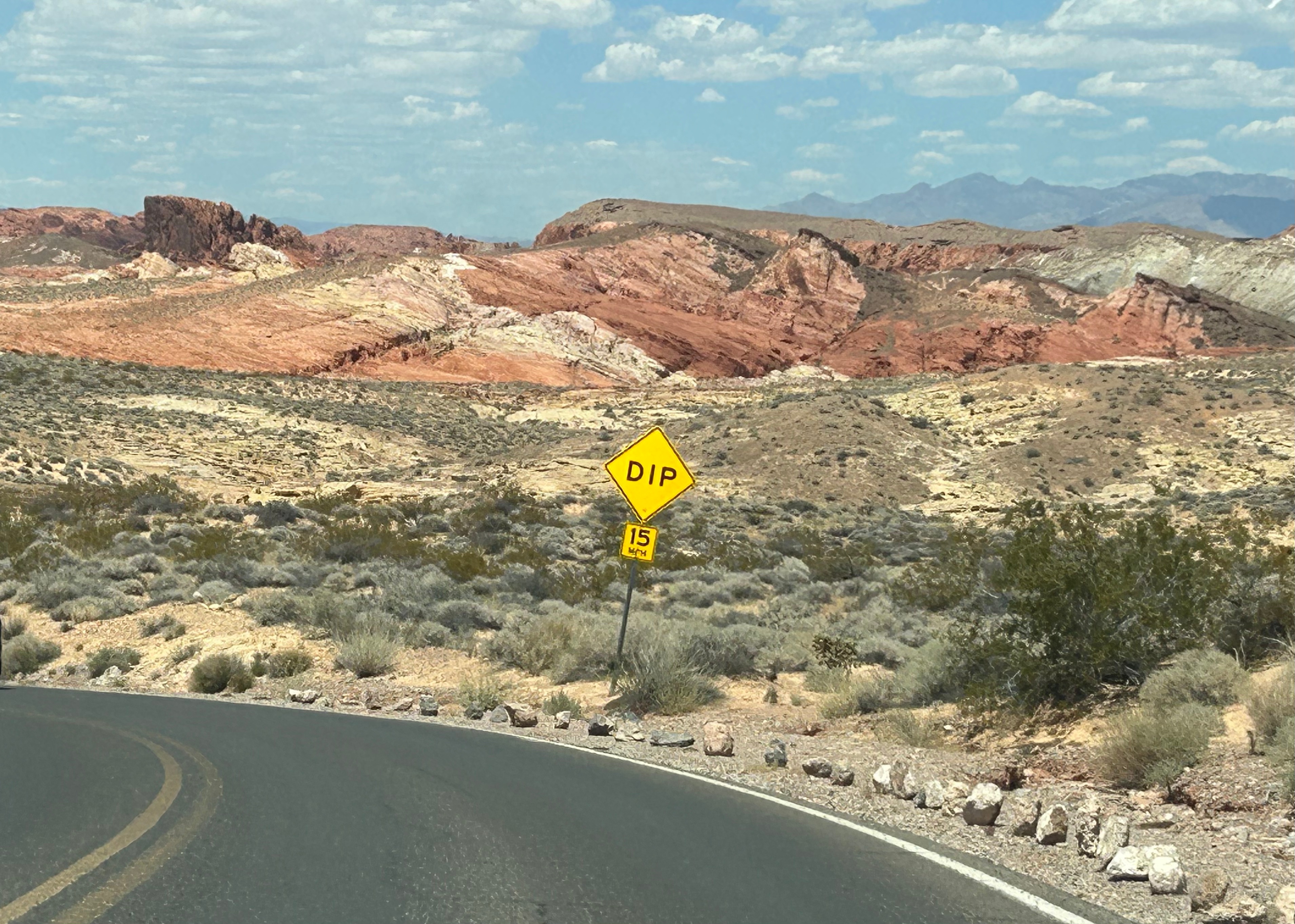
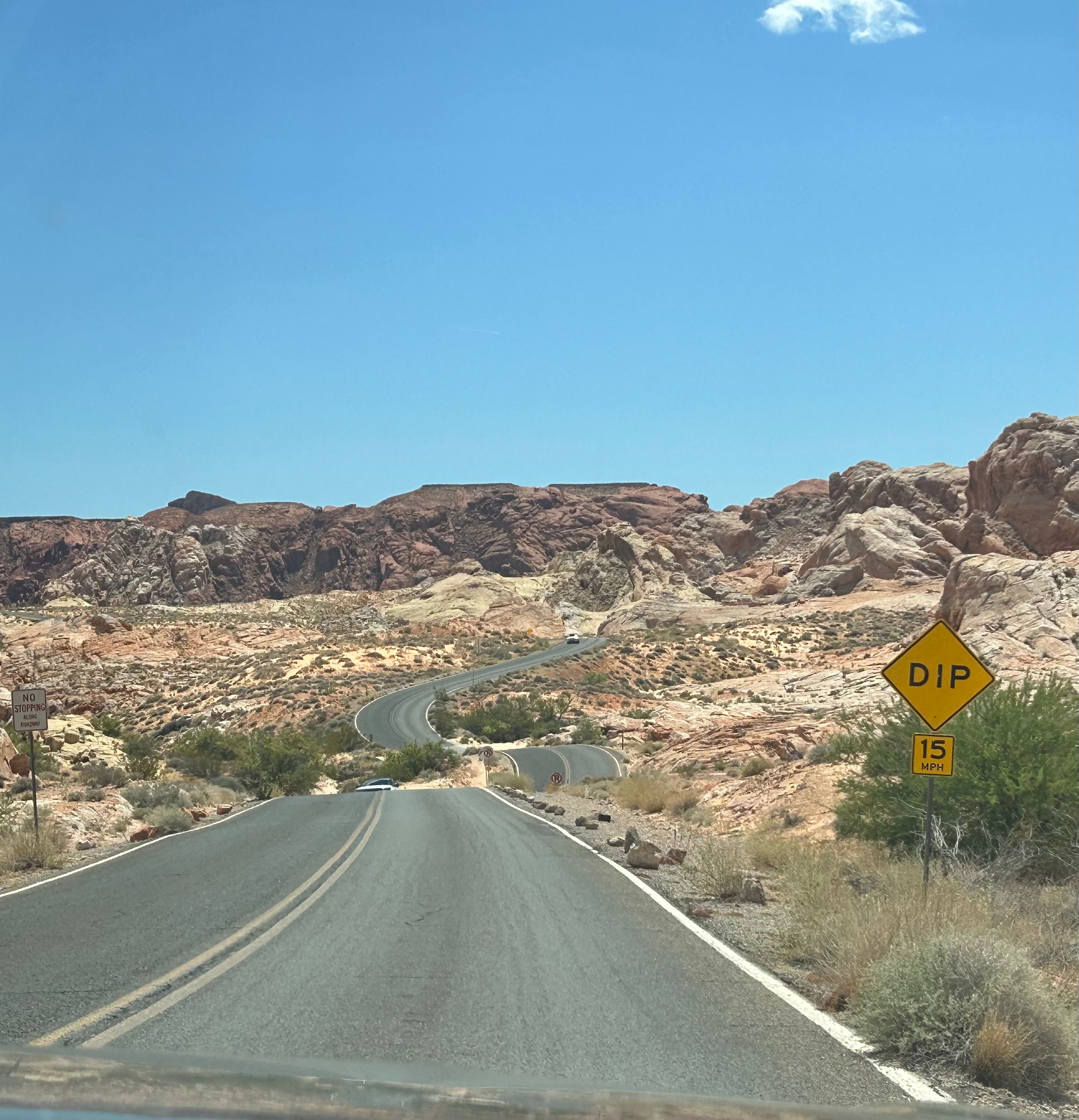
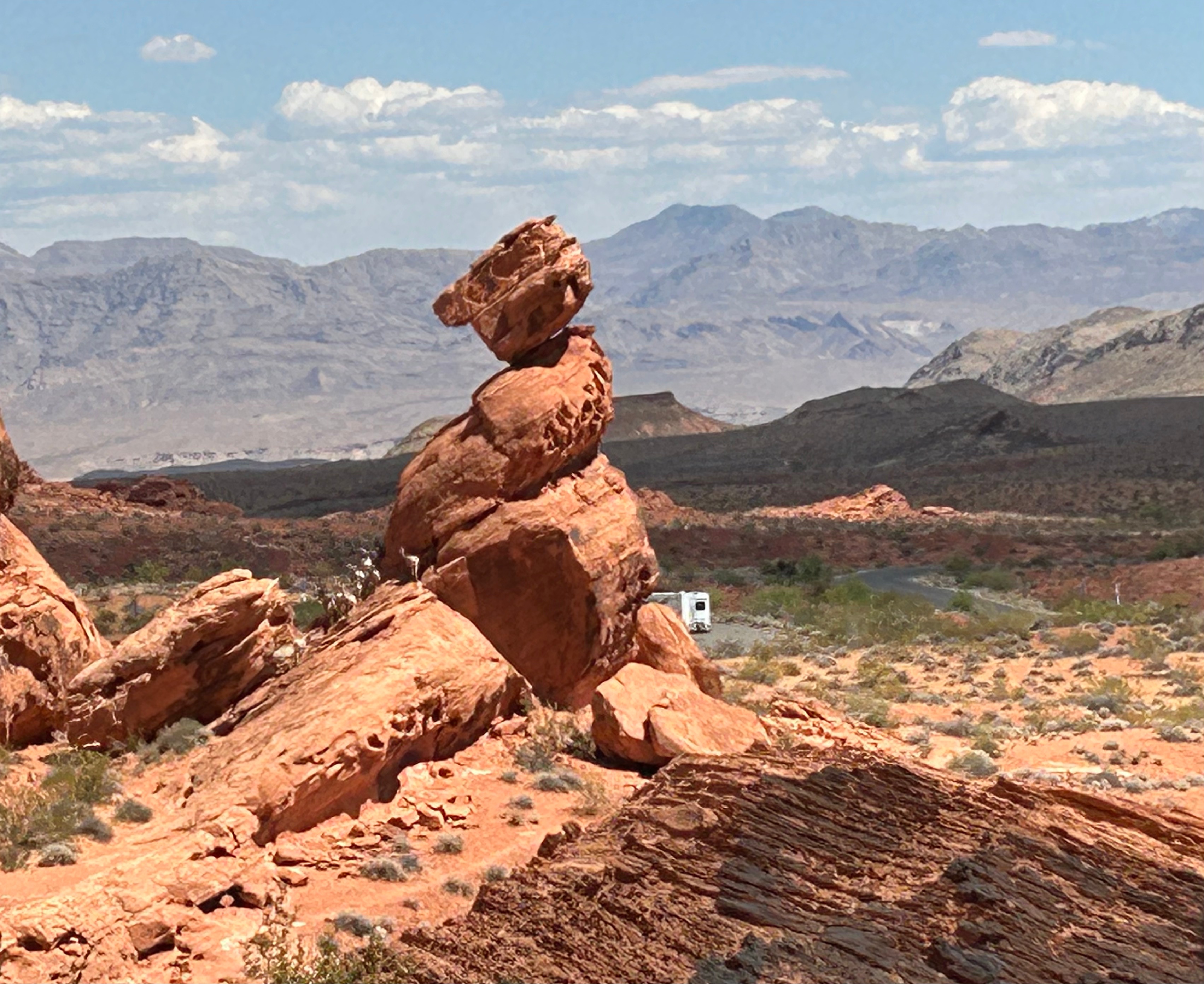
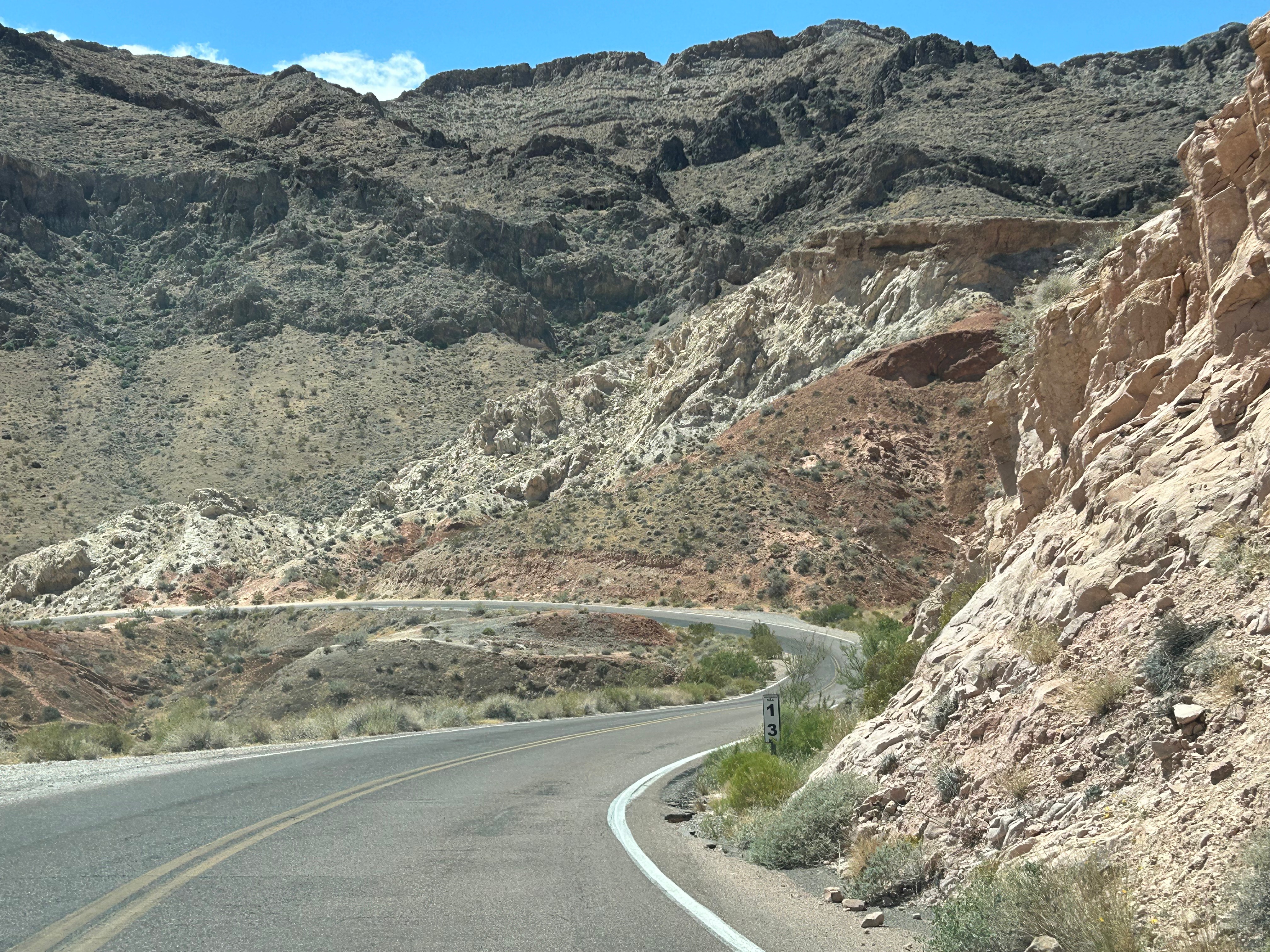
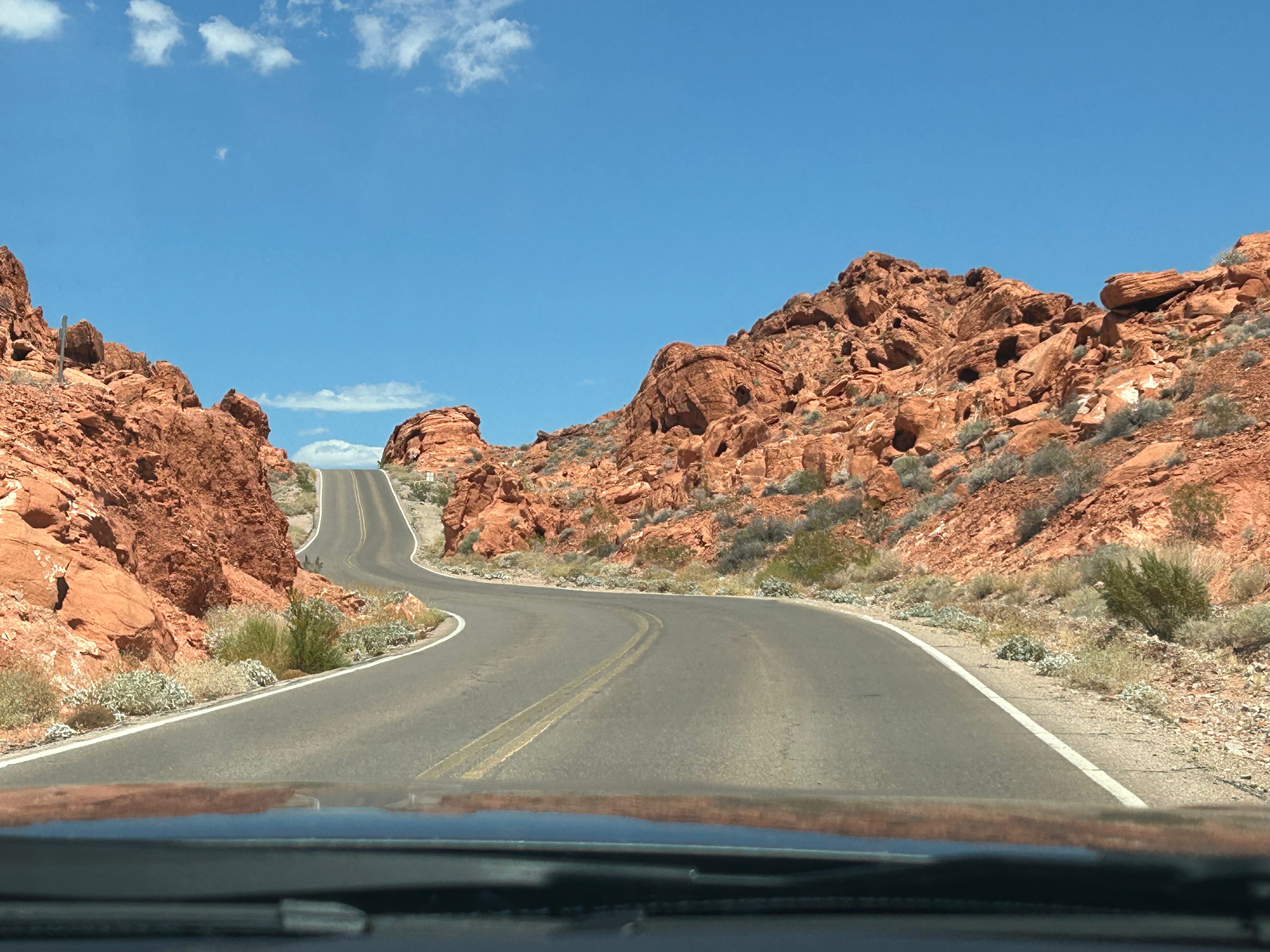
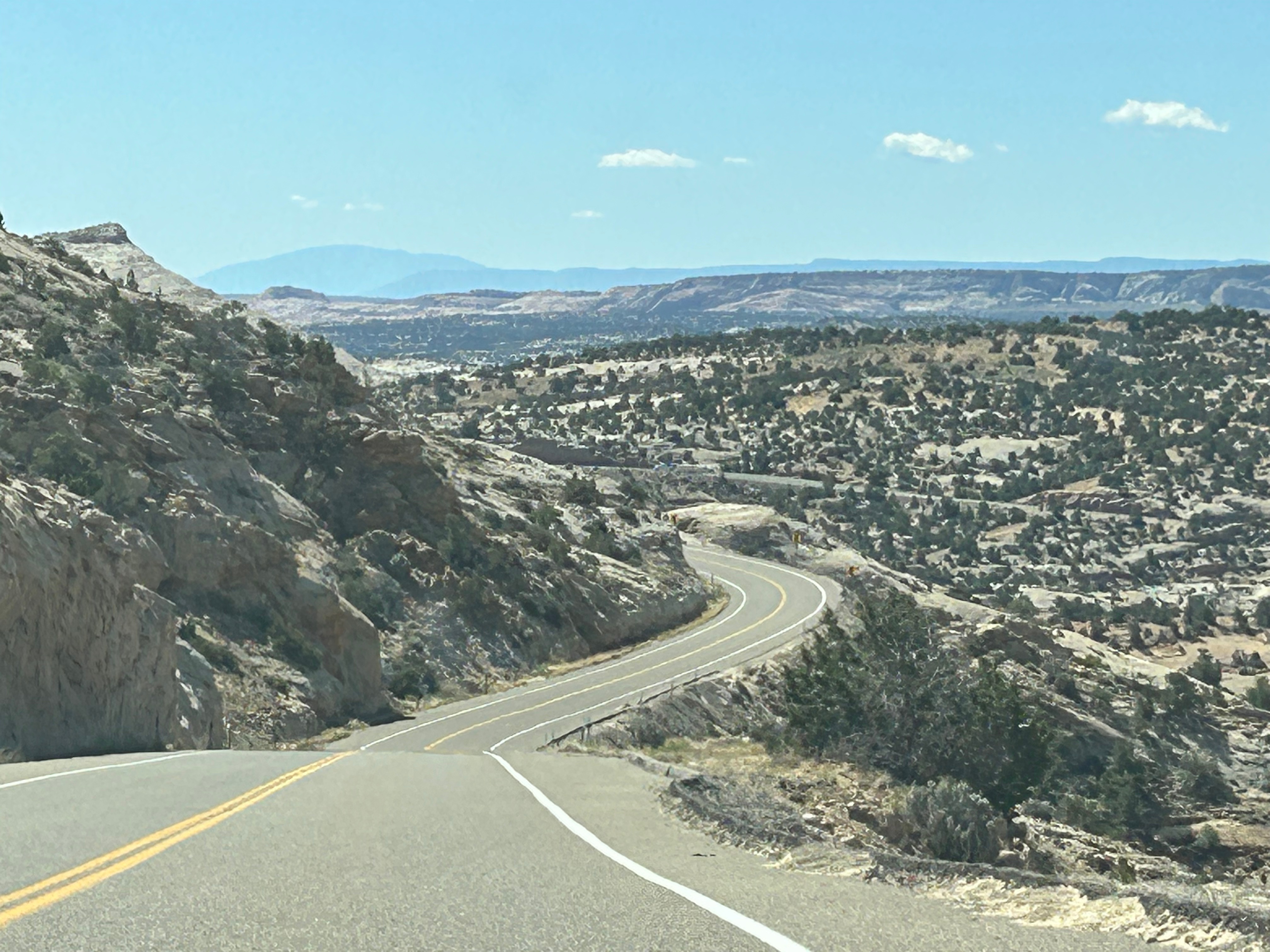
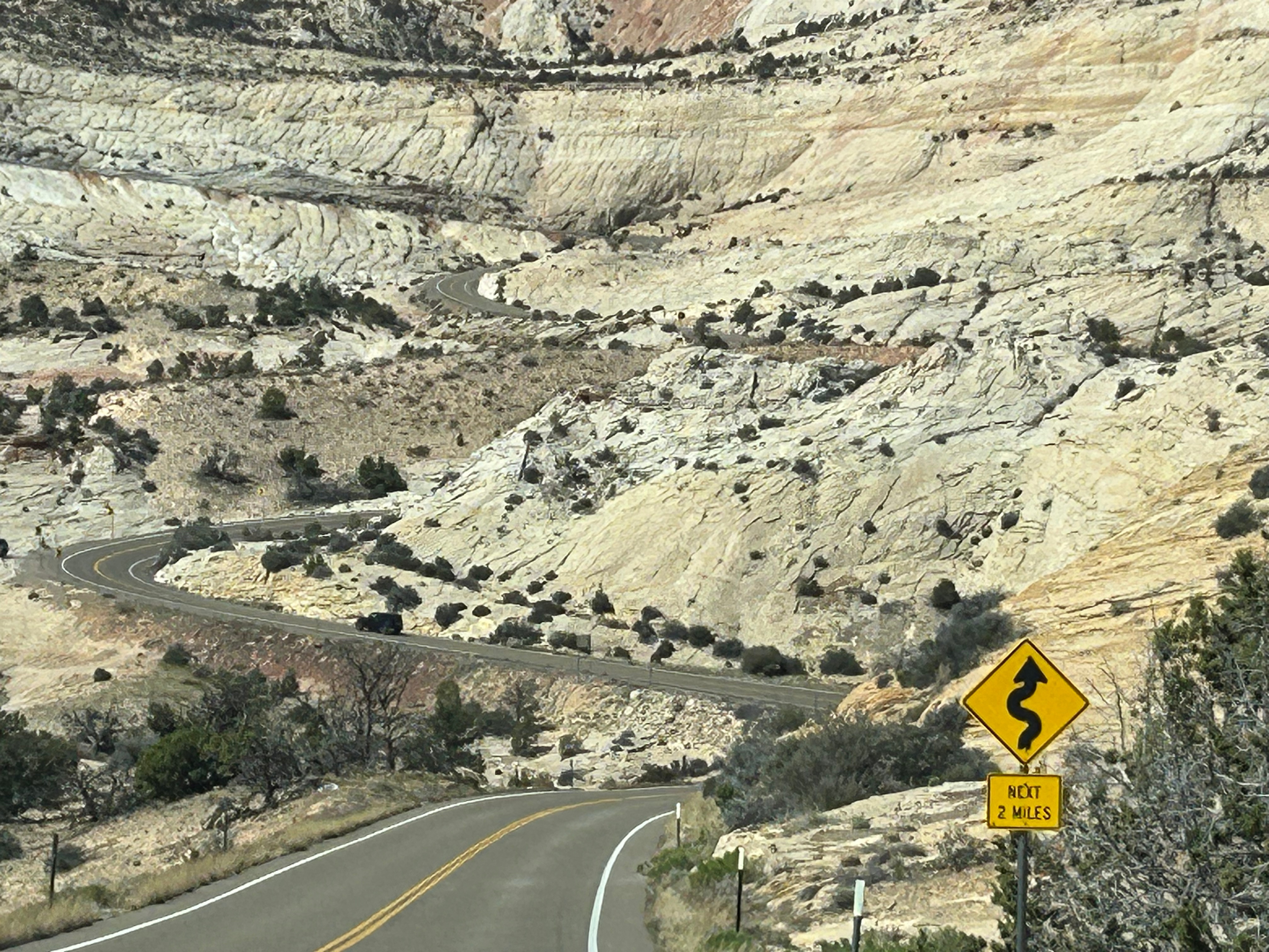
The route out of the park was still scenic, with some great winding roads. We weren’t tired of the ever-changing scenery, and Thom wasn’t tired of driving…so it was a delightful drive. While it was no match to Scenic Byway 12 in Utah, this is still a great driving road if you’re ever in this part of Nevada.

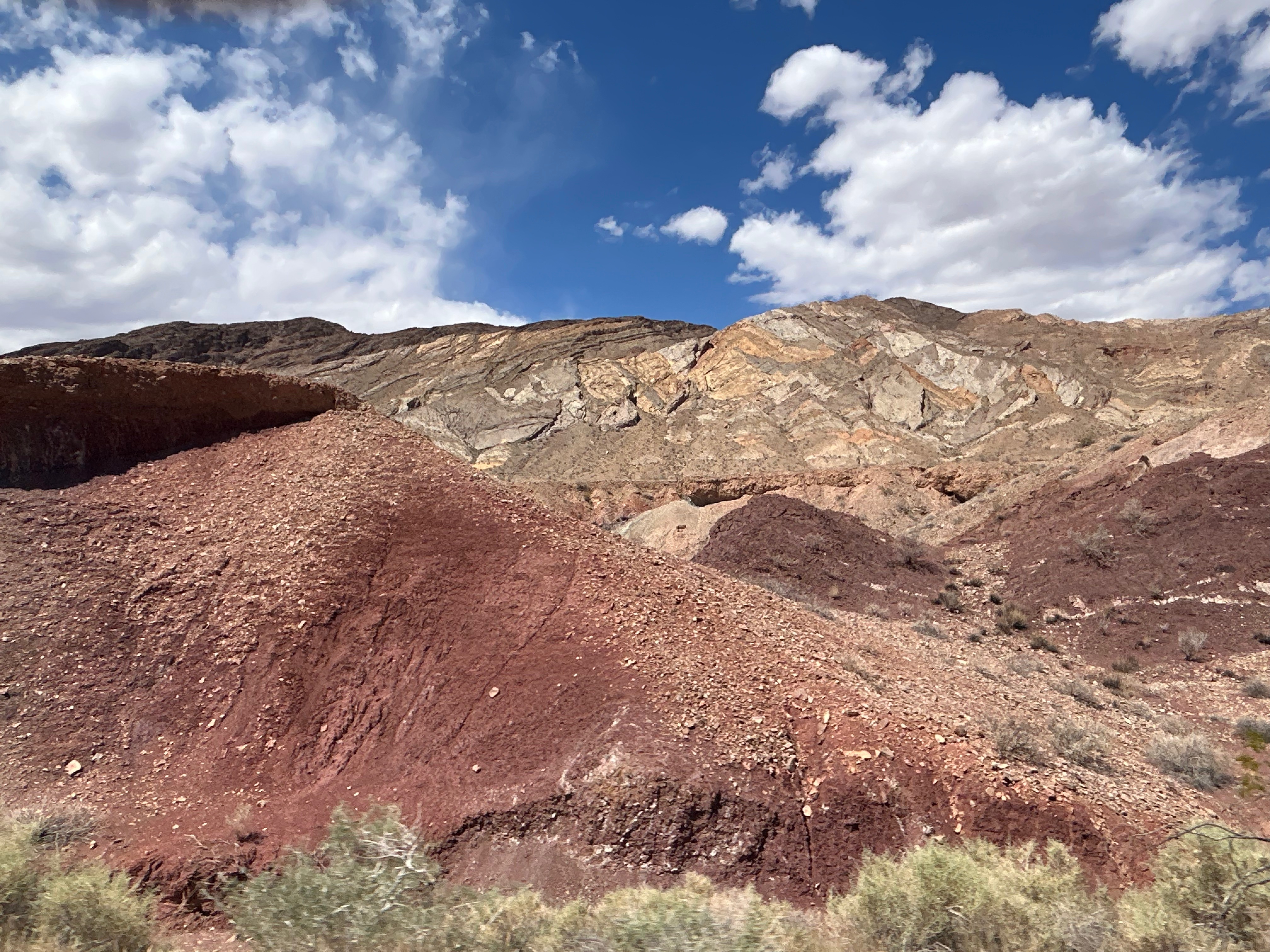
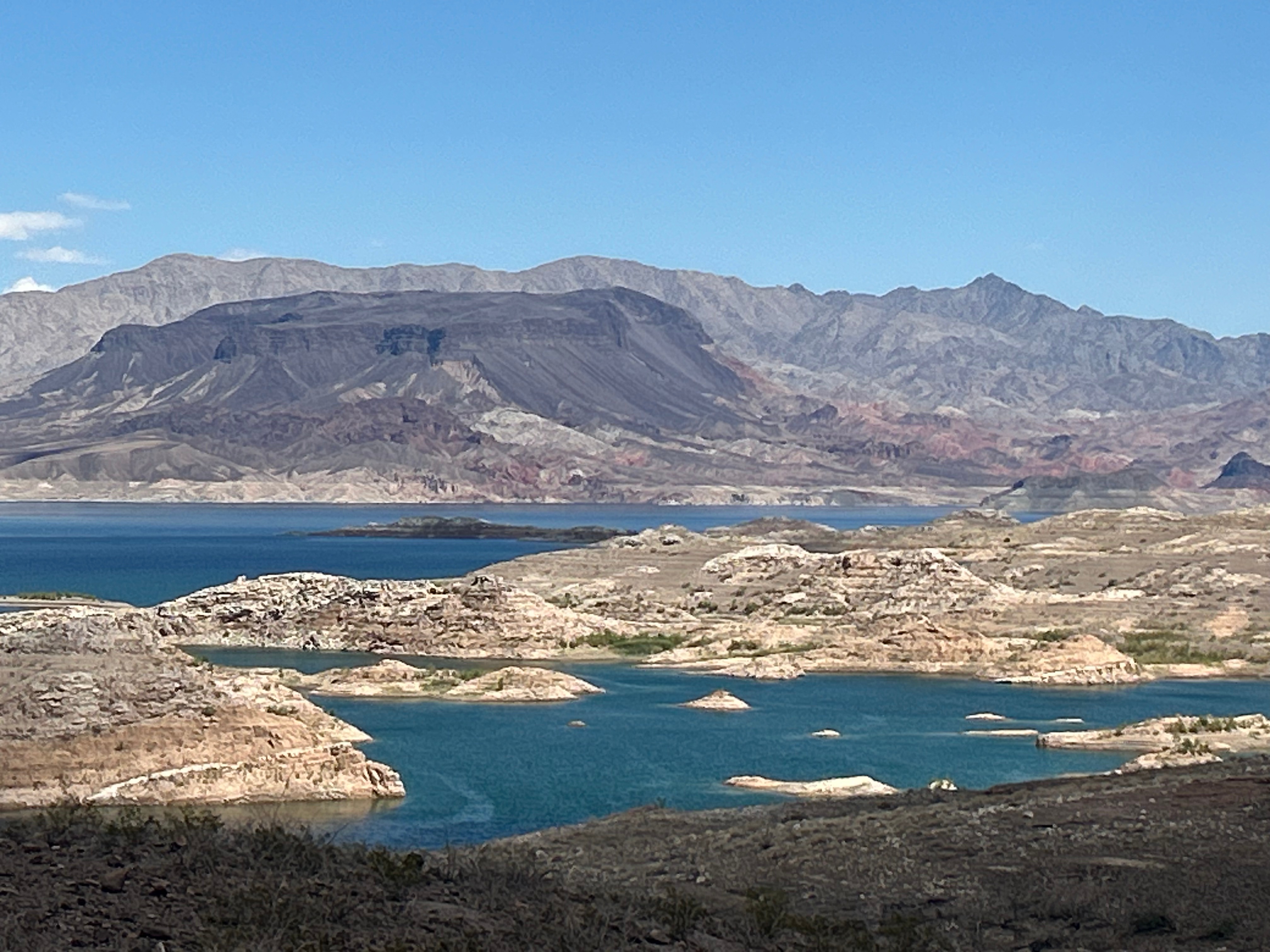
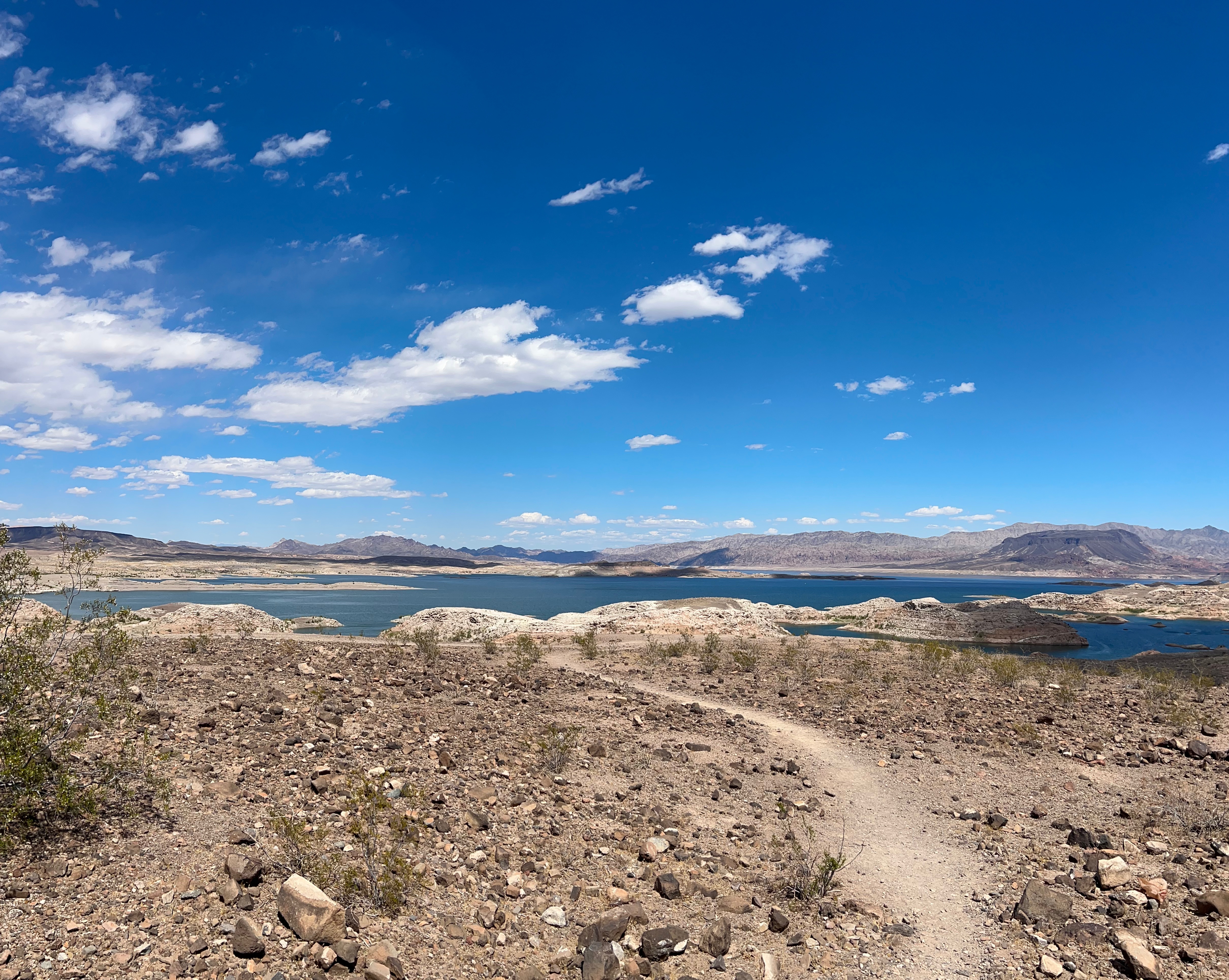
Our next stop was Lake Mead. The route gradually approached the lake, allowing us several spectacular views along the way. Honestly, the driving views were better than the view from the Visitor Center. We enjoyed all the exhibits, movie, and shopping before heading off again. We were originally going to picnic there, but it was oppressively hot outside.

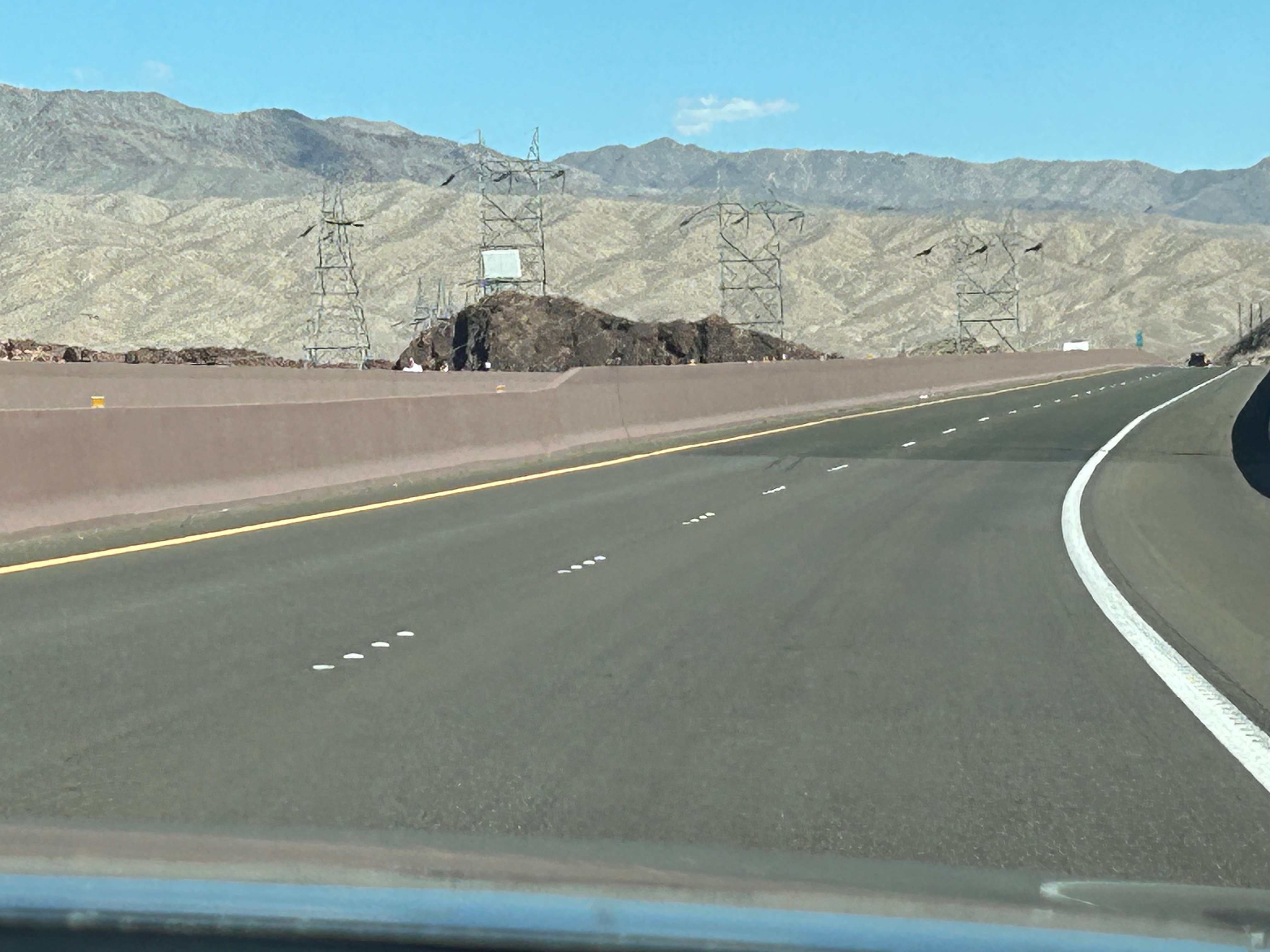
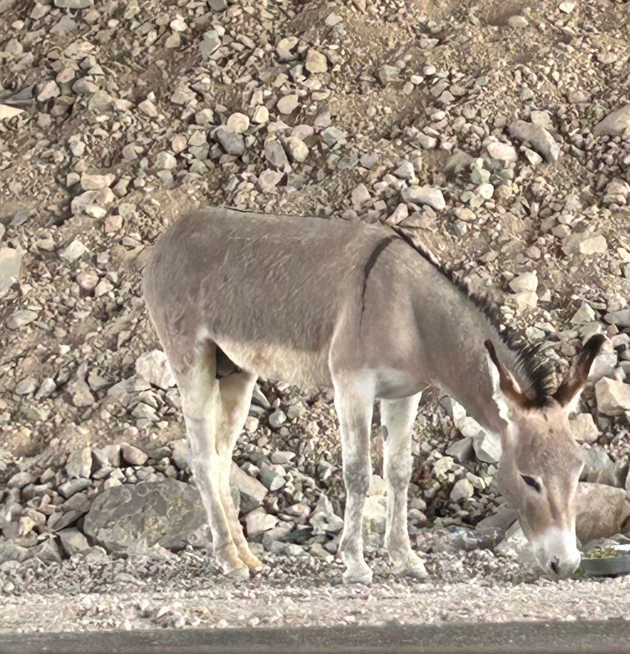
Next stop, Hoover Dam. Somehow, we got turned around leaving Lake Mead and headed west instead of east for a minute. We ended up with a brief driving tour of Boulder City NV before correcting course. (Honestly, we’ve done pretty good to not get lost before this point in the trip!) We got onto the access road that would take us to see Hoover Dam. We weren’t on the road long before we caught up to other cars and then signs for the security area we would have to pass through. It referenced car searches and K9 dog searches. We didn’t want to sit in traffic or deal with a search of our very full/tightly packed car…plus I really didn’t want to deal with dogs. So, we abandoned our plan and figured we’d see it from afar, while passing by it or from a lookout point on the other side of the road. Turned out, there are big walls on the road going by (so you can’t see anything while passing). We crossed the dam area and tried to get to the viewpoint marked on the map, but that little road was closed. During this pointless journey in our last moments of Nevada, we did see some wild donkeys, so maybe that’s cooler than a dam.

Life Elevated in Utah

Our departure route was also altered from our original plans, also due to snowy weather. We planned to leave through the south exit, but instead had to go north and then west to get out. Saying goodbye to Wyoming, we entered another section of Montana. We weren’t on the road before long before we crossed over into Idaho. (I sadly don’t have a pic of the Idaho welcome sign because it was covered in stickers, which might have been cool if it wasn’t for the winter sludge remnant all over it.) The drive featured valleys peppered by mountains in the distance with the occasional town thrown in for flavor.

We searched for a local lunch spot along the way and found the oh-so-charming Rusty Lantern in Ucon. Stepping out of the car was a thrill because we had finally reached warmer temps. After spending days in the 20s-30s, it was glorious to step outside into the upper 50s. The restaurant was family-owned, and everyone was friendly. Better yet, the food was amazing. Seems like beef in this part of the country just tastes so much better. I don’t know if it’s fresher (being that there’s a lot of cattle up here) or if they just know how to cook it well.

Time flew by after lunch and soon we were in Utah. We pretty much zipped through the state, and the mountains started getting bigger again. South of Salt Lake City, we veered off the interstate towards the little town of Torrey. Every mountain view you can imagine was part of this drive: snow-capped mountains, lush green mountains, finger-like hills, desert mounds, and stone wall-like mountains streaked with color. Every color of the rainbow was present, and it was particulary beautiful late in the afternoon. I didn’t even try to take a picture; choosing just to soak it up in the moment. Plus, pictures (or at least my pictures) never do justice to these grand vistas–it’s so hard to capture the vastness, the scale, or even the vibrancy of colors. Just before landing for the night, we stopped for dinner at a little make-shift restaurant at a nearby campground. It was pretty unassuming, but served almost gourmet level food. I had a salad that looked like it jumped straight out of the garden, along with smoked chicken that could’ve come from a famous BBQ place. It can be a gamble with local places, but we lucked out twice in one day.

We ended our day at the Skyview Resort, which are glamping domes that are clear on one side so you’re comfortably sleeping under the stars. We’d stayed in something similar on our Grand Canyon trip years back, and it was just the right compromise for us. Thom prefers the comforts of a hotel and I prefer to be immersed in nature. In these domes, you get a comfortable bed and climate control. We had to walk the gravel paths to the bathrooms, so it might have been a little more camping than Thom desires, but it wasn’t a super long walk. After unpacking and setting up, we sat around the communal campfire to have s’mores and visit with all the other travelers. I usually feel like we are a pretty average couple, with typical middle-class jobs living the average suburban life. But I believe our fellow campers thought we were the craziest people they’d ever met. They thought it was crazy that we took a week of to drive to a concert in Vegas (instead of just flying). They couldn’t believe how many miles we’d driven in such a short time and how much we were packing in. However, we all connected–talking about the beauty of our country. We loved sitting by the warm fire and soaking up both nature and comraderie.

I was so wishing for a clear, starry night out in the desert. However, it was somewhat cloudy and the nearly full moon was up bright in the sky. We were able to see a few stars before tucking in for the night. I got up in the middle of the night to see if the skies had cleared, but it was actually more cloudy. I enjoyed the moon with the clouds nonetheless, until the cold sent me back to bed.

Even though we were the last to bed, I was the first up, as I had to see the desert sunrise. There was a pretty good cloudbank, so it took a little longer to come up. I intended to stay past the initial appearance of the sun and watch as the light streaked across the rock formations. However, the cold got me again. I went back to bed to warm up for a half hour before officially starting the day.

After packing up and having a camping breakfast (granola and dried fruits…plus coffee), we hit the road for another busy day. We were only traveling 400 miles, but had three big stops before getting to Vegas. We were set for a trifecta of Utah National Parks: Capitol Reef, Bryce Canyon, and Zion. On the way to our first stop, we continued our games of “Rock or Bison” or “Shrub or Cow”–it’s funny how far you can see across some of these valleys, and it can take a minute to figure out if the tiny blips on the landscape are animals or not.

Capitol Reef National Park was pretty close by, so we were already camping around the “Red Rocks”. Capitol Reef had some amazing red rock formations, with some fun stand-out features like The Chimney and The Castle. We enjoyed the visitor center and took in the view at Panorama Point. I really found this park to be enchanting, as it had dry canyons creating dynamic views below you while also having beautiful cliffs and formations above. We didn’t go on the driving tour of the park, as we didn’t have the two hours to spare. So, unfortunately, we didn’t see the namesakes of this park–the Capitol Dome rock formation or the Waterpocket Fold (folded rock formations that look like a barrier reef). But the entrance area and the Fruita Region were super cool.

Onward, we took the longer way from Capitol Reef to Bryce Canyon, on Scenic Byway 12. This 100ish mile road was noted as being one of the best scenic drives in the United States. I was a little skeptical about that claim, as we’ve driven some fantastic roads across the country. However, I stand corrected. This was hands-down the best driving road we’ve been on. We climbed up and down through the mountains, going up to 9800 feet at the peak. We went through Slot Canyon and parts of the Dixie National Forest as well as the Escalante region. Some of the roads were merely a path across the top of a ridge, with nothing around you on either side (unless you looked way down). The curves and the switchbacks were grand and sweeping, much of the way. In many sections, it was like our own personal rollercoaster! (Side note: those poles you occasionally see along the road’s edge are snow markers, so you know where the road is during winter. No way on earth would I be on a road like this in winter…trying to stay on the road by watching the poles!!!)

Our next stop was Bryce Canyon National Park. Although only two hours from Capitol Reef, it was a different landscape. There were still the classic canyon views and arches, yet upon a closer look you could see the unique formations in the area–the hoodoos. Bryce has the largest collection of the hoodoos (irregular rock spires) in the world. We traveled the Bryce Amphitheater section of the scenic drive and picniced at Sunset Point. It was nowhere near sunset and we would be nowhere near by at sunset, but considering we love a good sunset, this seemed like the perfect picnic spot for us. We soaked up the sun and just marveled at this spectacular spread of nature’s art. From our vantage point, we could see some of the classic formations: Bryce Point, Inspiration Point, and Thor’s Hammer. We could have stood there all day, as every single hoodoo looked different from the one next to it. It was truly mesmerizing.

We left Bryce and headed towards Zion. We thought the best drives and the best parks were behind us, but we were wrong. We drove through the Red Canyon out of Bryce, and it was a really cool road with some good curves and several rock tunnels.

Out of nowhere, we reached Zion National Park and couldn’t believe our eyes. We were in the land of giants. Thom remarked how it was cosmic in scale…reminding you just how small you are. It truly was a jaw-dropping experience. We wound our way through the park with insane views at every corner. Halfway through, we went through one of the longest tunnels in the United States at over a mile long. Every so often, there would be a “tease” of the grandeur awaiting you with gallery-styled “windows” carved into the rock so you could have periodic glimpses of the canyon. Our stop at the visitor center was brief, as this was definitely the most crowded national park I’ve ever been to. It was cool how many of the museum exhibits and signs were actually outside under small tree canopies, but it didn’t eliminate the obvious feeling of crowding. We didn’t linger long, but did get to see a lovely mule deer on the way out. As we saw the last bit of Zion, we just couldn’t get over how exhilarating it was. It was an unreal day to see so many amazing sights…ones that just seemed to get better and better. We’re beyond blessed!

The Grand Drive – Driving CO

Our stay in Clifton was simply delightful. Right out the back door was a view of the Grand Mesa (which is the largest flat-top mountain in the world) and a view of several other nearby mountains. We were also blessed by eggs benedict for breakfast featuring fresh eggs from the friendly resident chickens.

Our first stop was Black Canyon of the Gunnison. This was highly recommended by my dad (so I don’t ignore all his advice). The park elevation is over 8000 feet and the Gunnison River is over 1800 feet below the top rim. Despite that distance, you can hear the river roaring below. I can only imagine how loud the river is when hiking lower in the canyon. There were lots of birds flying around the canyon, from little purple dippers near the trail to peregrine falcons out patrolling the canyon gorge. I only wish we’d had more time here; I’d love to come back in the future to camp, hike, and see the stars.

As we headed east towards Manitou Springs, we experienced more of the stunning lush mountain views like we witnessed yesterday. Along the way, we encountered construction on Highway 50. For five miles, we experienced a one lane, hard pack gravel road where we got to see the incredible work that goes into roads that endure harsh winters, flooding runoffs, and rock slides that take roads out with one drop. You should’ve seen Thom’s face when we saw the sign that said “pavement ends”–nothing like off-roading with the Mustang.

While we waited our turn for the one lane section, we got to witness the wild Colorado weather. It was a beautiful, sunny day with a few clouds, but then we watched a big cloud in the distance moving our way and you could see it snowing up high, then raining as it moved towards us and then over us. The temperature dropped from 65 to 48 in a matter of minutes and then we got pea-sized hail for a good five minutes before it turned back to rain…and then the cloud was gone. Ah, the poor car today!

Part of the drive took us around Blue Mesa Reservoir, which looked almost like the ocean with the wind blowing the water into whitecaps and waves. We were going to have a picnic lunch in this beautiful stretch, but it was 45 degrees and the wind was howling. Rain was moving back in and blowing sideways. So, we went to McD’s in Gunnison for Happy Meals & Guardian of the Galaxy toys, but sadly we got the old swap-a-roo and ended up with a Scuttle from the new Little Mermaid. Hmph

The drive along Highway 50, aka the Loneliest Road, was beautiful from Black Canyon onward. I was so mesmerized that I didn’t really take many pictures and just stared out the window as the miles ticked by. After the drive around the expansive reservoir, we went over the continental divide and around Monarch Mountain, in all it’s snow-dotted beauty at 11,300 feet. As we approached the Rockies, we turned on Co 285, which ran right between the snowy Sawatch mountain range and the Rocky mountain range. We were surrounded by majestic mountains as far as the eyes could see, before crossing the Rockies.

After we checked into our B&B in Manitou Springs, we headed over to Castle Rock (the picture explains the name of the town). We were able to meet up with our niece that lives in Denver, who we haven’t seen in years. We had a delightful dinner at a quaint home-cooking place called the Castle Cafe.

The Grand Drive – Heading North

We left our cute little cabin near the North Rim and hit the road. We drove along the Vermillion Cliffs, through Marble Canyon, across the Colorado River, along Echo Cliffs, and through the Navajo Nation. It was a beautiful ride, especially with the morning fog and the pops of sun as we came out of the canyons.

Our first stop was Monument Valley. It’s so bizarre to see all these individual outcroppings (as opposed to the long canyon walls we’ve been seeing). We only enjoyed the sites around the valley. We didn’t take the 17 mile backcountry drive (gravel and sandy road) as that would be a painful drive for me & the Mustang.

Looking at giant monuments made us hungry, so we found a lunch spot where we could try the much anticipated Navajo taco (aka fry bread taco). This was the best thing I’ve ever eaten! Thom went with a burger in blue corn fry bread with green chili, and it was also delicious. We need fry bread tacos back home!! With full stomachs, we continued onto the next stop.

I don’t often ignore advice my dad gives me, but today I had to go rogue for just a few minutes. We simply had to stop at the tourist trap of the Four Corners. We’ve actually been to all four states (since Monument Valley was in Utah), but that’s not the point. I just can’t resist the cheesy experience of existing in four states at once. And don’t message me about how the lines aren’t quite right…I know all that but choose to be blissfully ignorant.

Next up was a scenic drive through western Colorado. We took the Unaweep Tabeguache Scenic Byway up to Gateway and almost all the way to Clifton, where our B&B was located. The canyon walls, plateaus, mesas, buttes, and spires continued (as we’d seen in New Mexico, Arizona, and Utah). I didn’t realize, before taking this trip, that this whole region was the Colorado Plateau and would have such common features. However, each area had it’s own nuances and beauty. We went through a section with lots of pink mesa, and it was cool to see that the bottom of the clouds were reflecting that pink. We entered a large area called Disappointment Valley, which was such a misnomer–we were surrounded by stunning geology as far as the eye could see! Pretty soon we realized this road was following alongside the curves of the San Miguel River. Turn after turn, we marveled at the sights, watching as the land and walls became more and more lush. We had the road nearly to ourselves, but did have to be careful, as there were cows just hanging out in the road several times. (Side note: we saw cows grazing right on the edge of cliffs. How often does a cow just fall off the cliff???) While there are lots of scenic routes I haven’t taken, I’ve been on quite a few, and I’d have to say this is the most beautiful road I’ve ever traveled.

Let the Grand Drive Begin

On New Year’s Day, sitting around my mom’s table, the predictable question went around: “What’s everyone’s plans for 2023?” Thom quickly piped up and proclaimed that he was taking his woman to see the Grand Canyon. This was news to me, but thus the journey began.

I originally had a big “Out West” road trip planned for summer 2020. The kids and I were going to camp across the West for nearly a month, and Thom was going to meet us for part of it. As with many things in 2020, that trip fell apart. Since that time, the Galloway kids have scattered and it’s quite tricky to get us all in one place for a weekend, much less a month. So, I had mentally given up on this trip ever happening. Thom is full of surprises though and often seems to know my inner thoughts that even I don’t know. He decided to make it happen and stated it in front of others, knowing that would keep me from justifying any postponement of the trip (due to money, time, or not being able to do the trip with the kids).

Over the course of the last few months, we’ve gone from idea to loose planning to booking plans. Thom even got me a giant atlas for the planning (as he knows I love a good map). We added Pike’s Peak to the top goal along with the Grand Canyon. We knew we had a max 10 days available and just filled in the schedule with other cool spots to visit and scenic roads to drive.

Today took us from Kennesaw to Ozark, Arkansas (five states in one day!). The first stretch of road was filled with me doing my nails since I ran out of time before the trip but wanted to look my best on this long date. (Shout out to Stephanie Ann Jones and her Color Street Nails. There’s no way I could do my nails in the car otherwise.)

We had some scenic roads in North Georgia, raced a train in Alabama, and crossed the Tennessee River on the way to a new-to-me Buc-ee’s in Athens, AL. Buc-ee’s to Memphis was the Bee Line Highway, aptly named as it was a straight line between the two. There wasn’t much but corn fields and then this weird place in Mississippi called an Attendance Center (that looked like an old prison with a playground out front). Apparently that’s a school??

Our Memphis stop was at a place called Central BBQ. The decor was a fun picnic vibe but with lots of music art. They had Memphis soul music keeping things lively as well. We sampled each others meals and I can say the classic Memphis rubs were awesome; it was some of the most flavorful BBQ I’ve ever had.

We left lunch, passing the Memphis Pyramid and crossing the wide waters of the Mississippi River. (Side note-I failed to blog about my quick trip through the midwest in 2021. We went to the Memphis Pyramid and it was super fun.) We settled in for a few hours along I-40 with an episode of History of Rock Music in 500 Songs. While technically the episode was about the Byrds, there was a lot of discussion of jazz, bebop, and soul–seemed extra fitting for our Memphis visit.

Once we got out of Memphis, we finally escaped the haze coming from the Canadian fires, but quickly entered gloomy clouds and occasional rain. Despite the dreary weather, we pulled off I-40 just east of Clarksville (which randomly happens to be a nuclear evacuation route…good to know?). We also passed Ozone Burgers, which Thom aptly named the Stabbing Shack–it was a run-down building surrounded by these weird creepy trees that were black and had leafless branches reaching straight upward, so like something out of a horror movie (and we never saw trees like this again on the drive). Anyway… we took the Ozark Highlands Scenic Byway up into the Ozark Mountains and then cut west to take the Pig Tail Scenic Highway back south to I-40. We had no GPS signal and were warned with multiple signs that the road was “Very Crooked & Steep”, but that’s the kind of road we love. However, it was raining lightly most of the drive. While wet roads aren’t as much fun, we drove in and out of the clouds in the mountains and through lush forest regions…and we had the road to ourselves. It was a different experience that we expected, but it was still breathtakingly beautiful.

We ended the day in Ozark with dinner at the Hillbilly Hideout (weird location but great food) and a sufficient hotel. The sign says “Luxury Accommodation” but I think that was put up in the 60s. All in all, it was a long, good day. We moved about 700 miles in 14 hours (including all the stops). Time to hit the hay and start a new journey tomorrow!

Travel America – Hit the Road

It’s been almost eight years since our last road trip, and I’ve been itching to hit the road again ever since. After much debate, we decided to visit our nation’s capitol and see what we could of the northeast. Over the last few months, we amassed gift cards, maps, Groupon deals, and reservations. Between end-of-school and beginning-of-summer activities, we got packed and ready to go. Of course, you know what they say about the best-laid plans…


We had a great plan to leave from marching band kickoff, pick up Thom (who would be home from work), and hit the road Friday night. However, Thom’s employer had other plans—they scheduled a late job that ended up falling apart in most every way.  Let’s just say it included equipment that wouldn’t fit through a door, electrical outlets that weren’t powered, and some ensuing chaos. He finally made it home and we hit the road when we should’ve been hitting the pillow.


Luckily, our first stop was my parents’ place in Sky Valley and they had everything ready for us to just roll into the bed. The next morning came way too early, but we enjoyed a mountain breakfast before heading out. We headed along the Nantahala River first, into Cherokee NC, and just had to take a picture with one of the (many) kitschy painted black bears. We chose a patriotic bear since that seemed to fit the theme of our trip.

IMG_5990[1]


From Cherokee, we hit the beginning of the Blue Ridge Parkway. While we only took the BRP from Cherokee to Asheville, it was an amazing drive. There were more scenic overlooks than we could count, with each one seemingly more beautiful than the last. We did count sixteen tunnels along the way, which was a surprising bonus. We saw wild turkeys along the side of the road, a multitude of birds soaring at great heights, and tons of colorful blooms (including mountain laurel, rhododendron, and an unknown misty blue flower). It was the perfect day with a mix of sun and clouds (except for one brief shower) and temps in the upper 60s. We rode with the sunroof open and the windows down, enjoying the nice breeze and the smells of the mountain.


After Asheville, we got serious about getting to our final destination and hopped off the BRP and onto the big roads. Eastern North Carolina was, unfortunately, just as I recalled—filled with construction. As we entered Virginia, everyone was intrigued by the signs “speed is enforced by aircraft,” and we wondered how the aircraft would pull you over.  ;)  The only unusual site in Virginia was a giant cigarette in front of the Marlboro plant.  We had a few mishaps finding a good dinner spot (one place had bad reviews in the location near us, and another placed was closed two hours before the posted closing time)…so we landed at the predictable but good Olive Garden.


From there it was smooth sailing to our hotel, where we promptly unpacked and rested up for the first phase of our adventure. It was a great first day (or day plus) of our travels, with everyone enjoying the time in the car through sightseeing, reading, coloring (Lizzy), movies (Brandon), and music. As always, our music was varied and included Nine Inch Nails, Journey, Soul Coughing, Foo Fighters, Front 242, Jim Croce, Michael Jackson, and Ned’s Atomic Dustbin.

Reflections: While you obviously have my perspective, I wanted to share the takeaways from the rest of the fam. Here’s everyone else’s fav memories from the day–Brandon loved our roadside picnic towards the end of the BRP, Lizzy loved the magnitude of the overlooks, Alex enjoyed going through the tunnels (especially when one car in our “line” set their car alarm off each time to hear the echos), and Thom felt like he would forever see the mountain views and feel the windows down when listening to Pretty Hate Machine in the future (it was just one of those moments that will forever be with you).