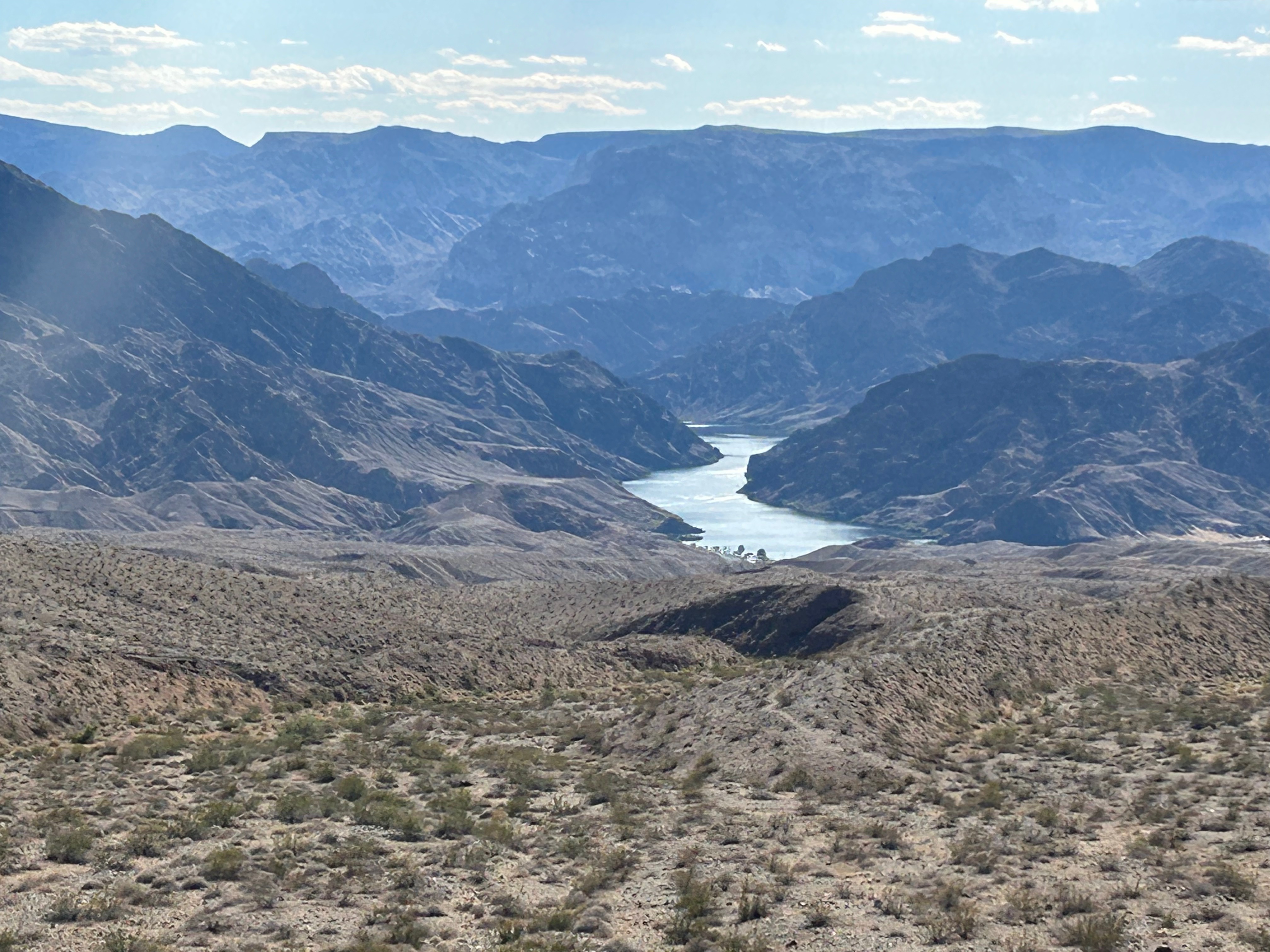
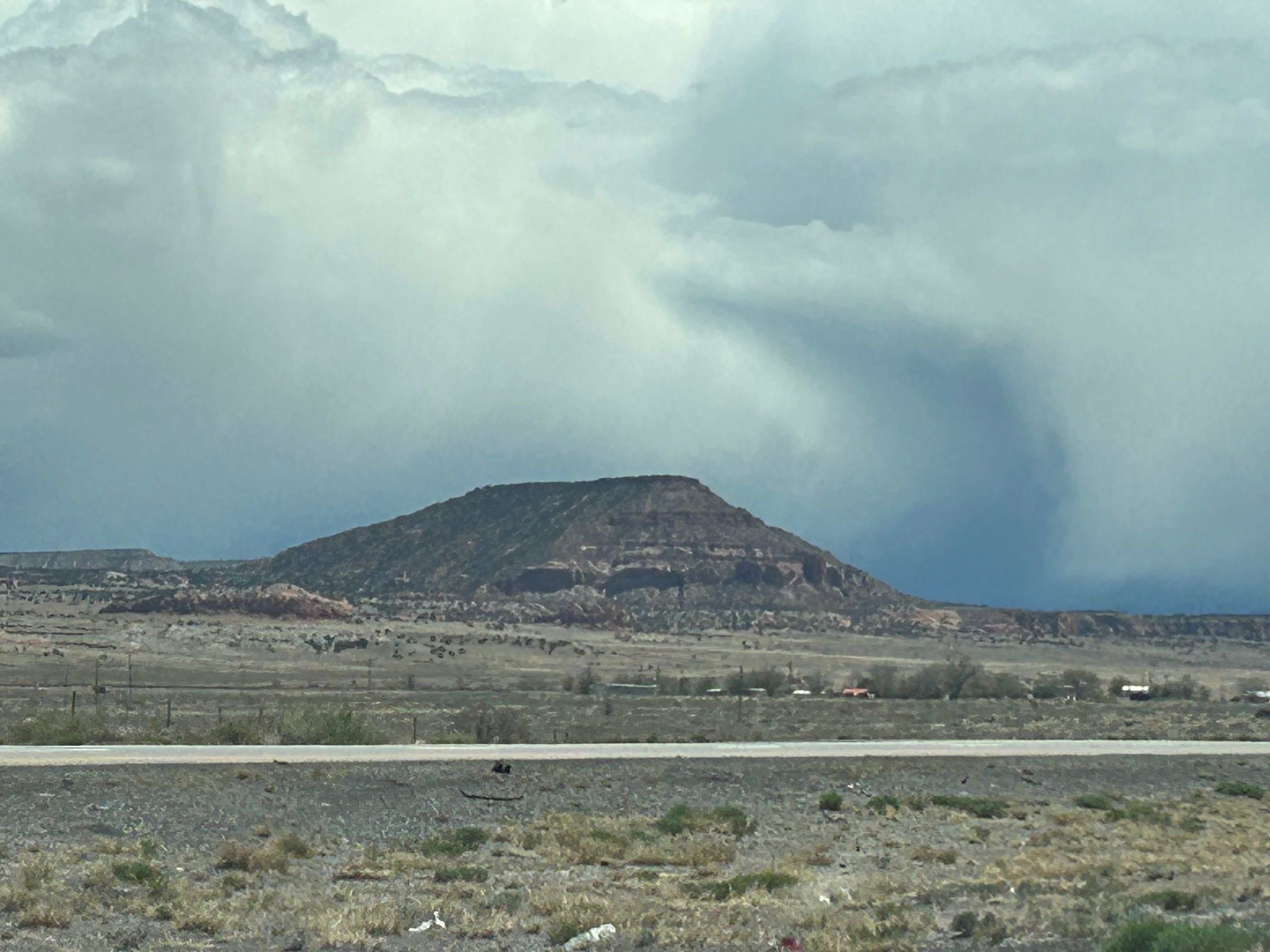
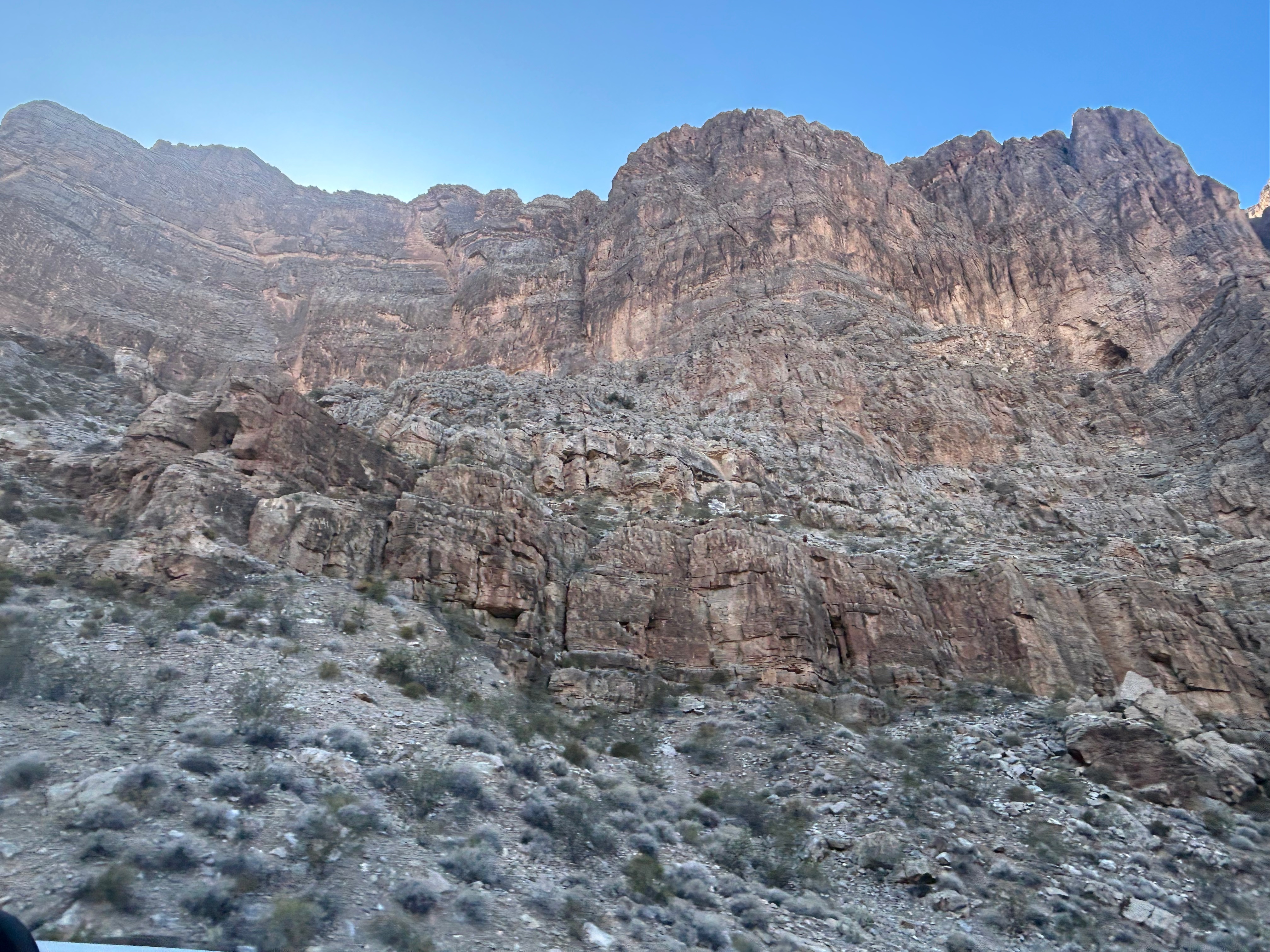
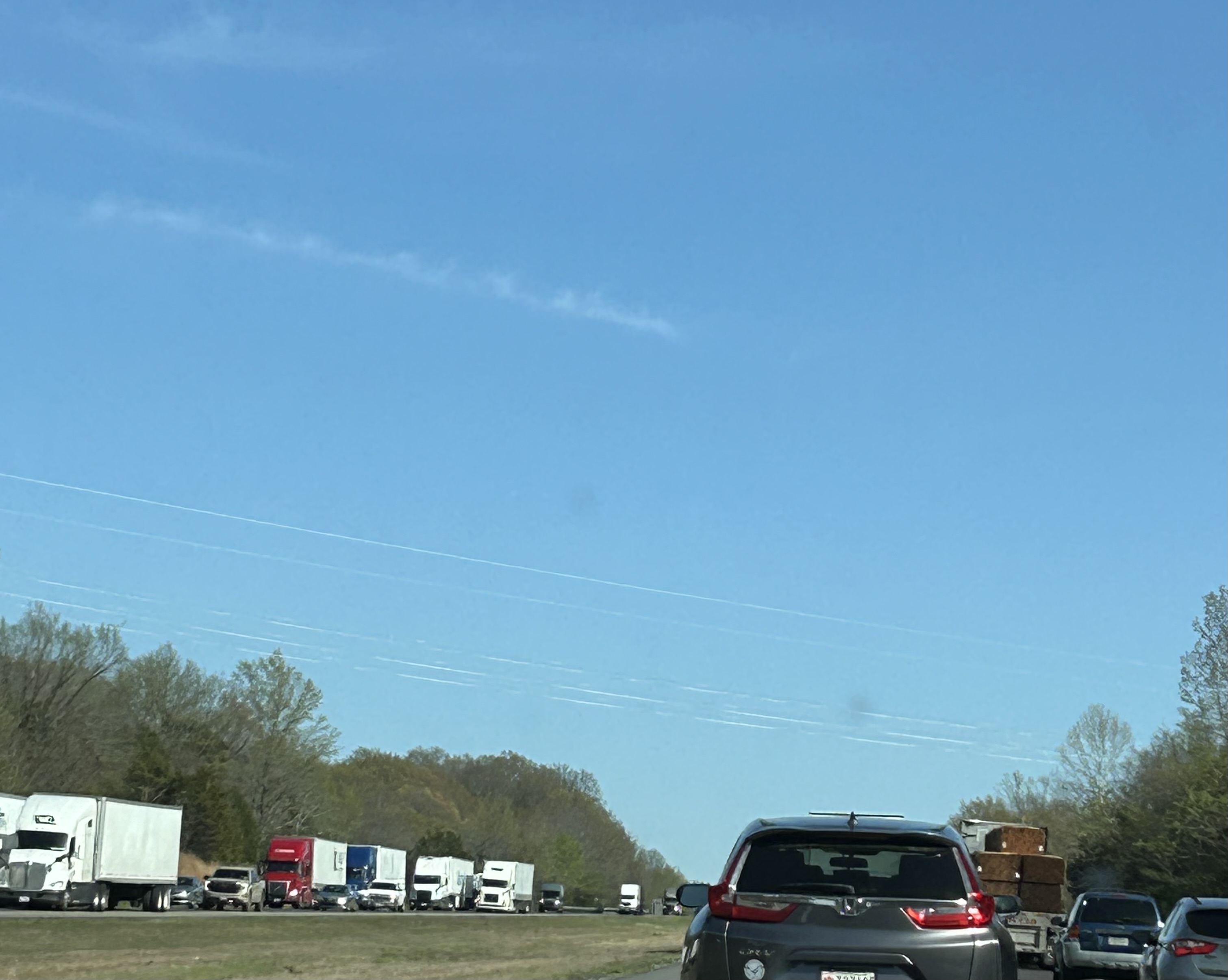
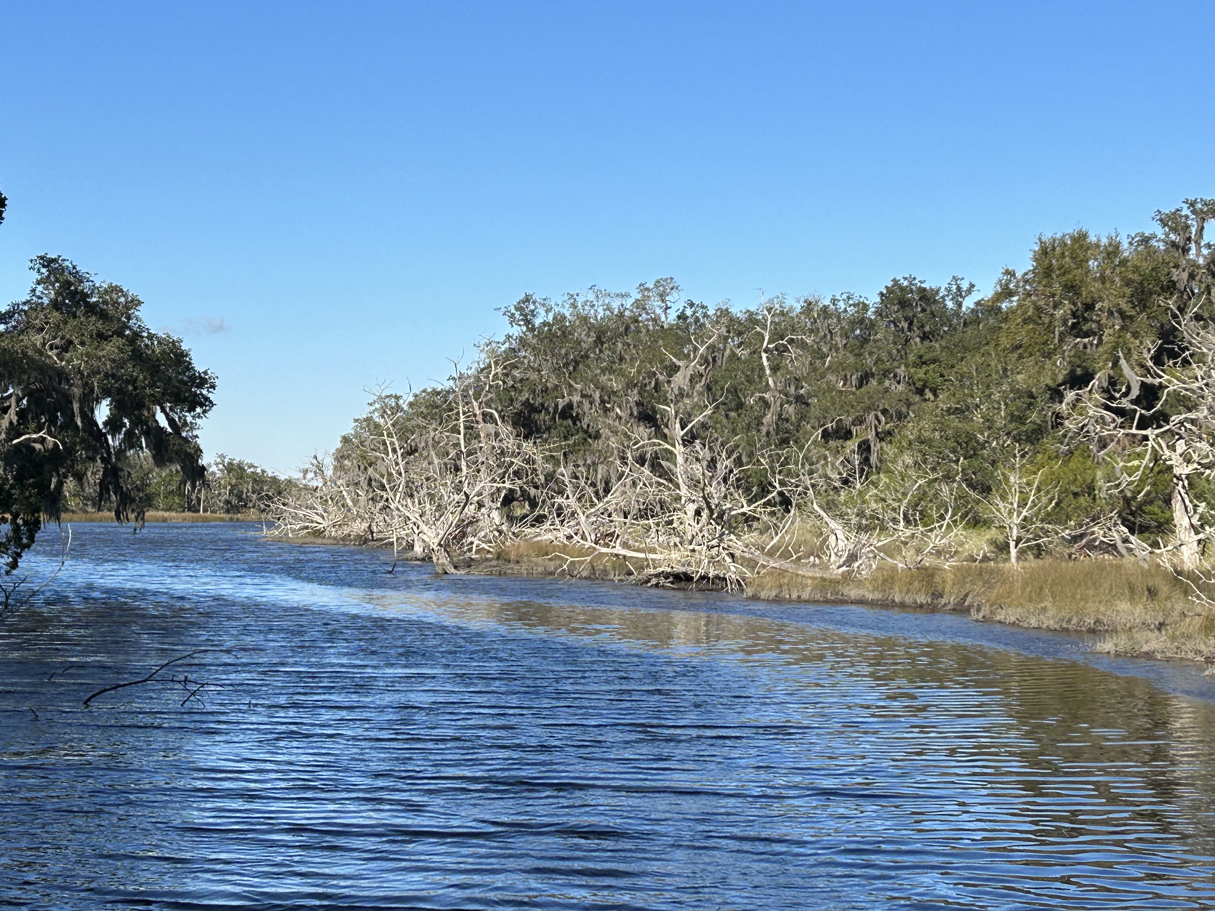
Here we were, on midday Friday (or evening Friday if tracking our “home time”) and 2000 miles from home. We had done the math when planning this trip and knew it would be ridiculously hard to get home in 2.5 days. So, we made our bosses super happy by taking six days off of work, instead of just a solid week. Even with the extra day, we had some hard driving ahead. The previous driving had some cumulative effects…and we were about to lose all those hours we’d gained through the time changes. We still had some beautiful scenery to get us through the drive, including a view of the Colorado River heading towards the Grand Canyon.
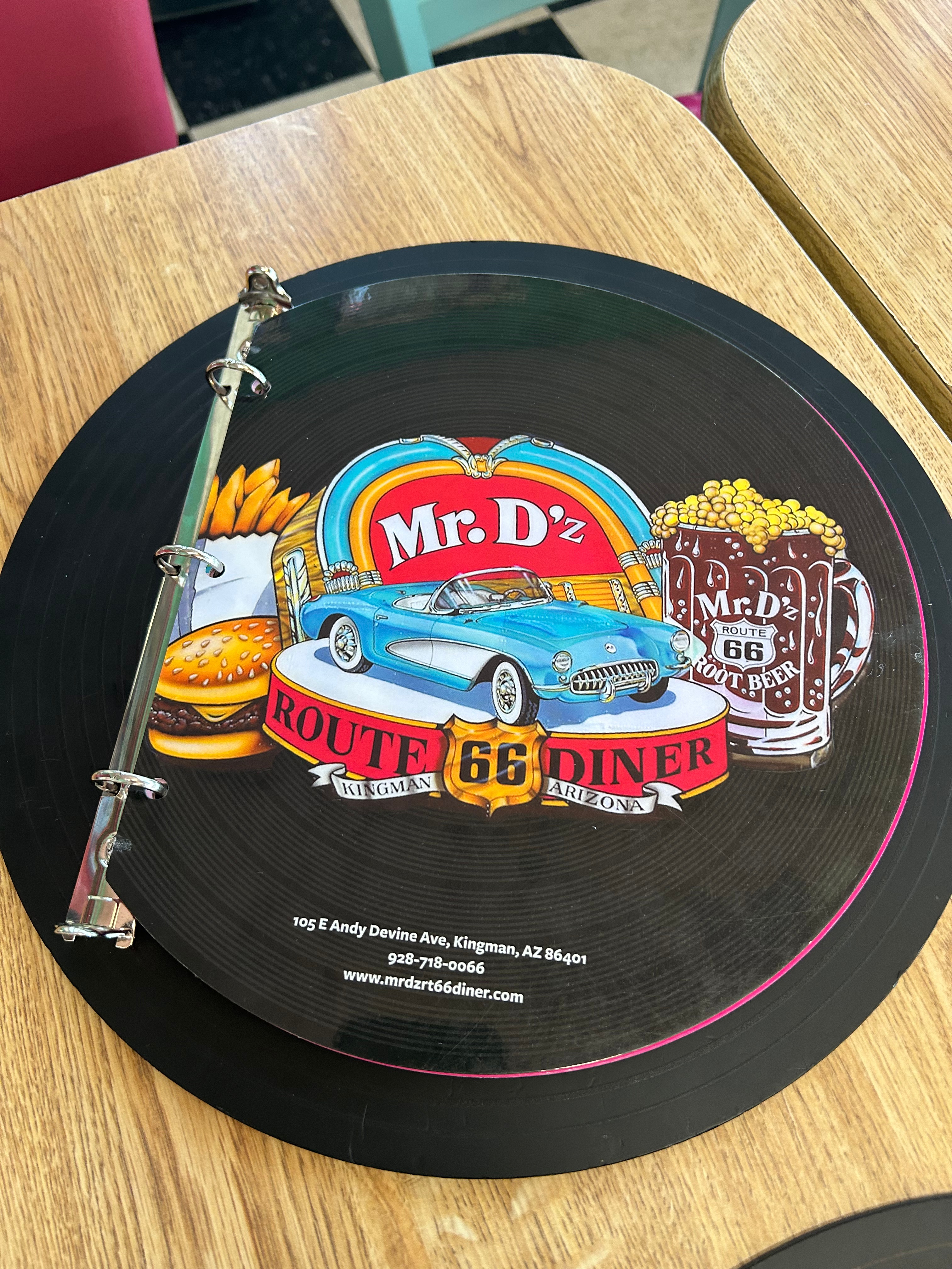
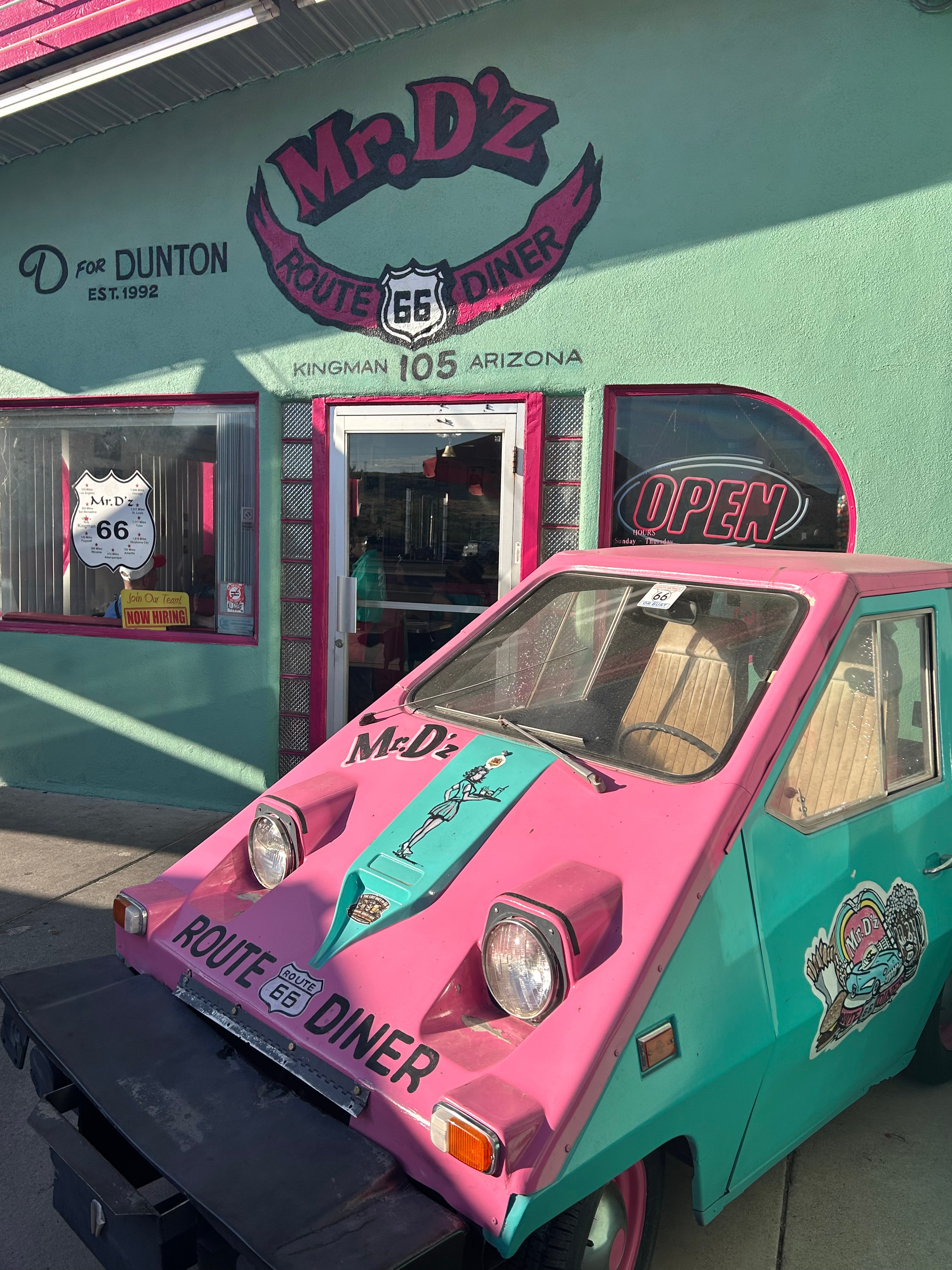
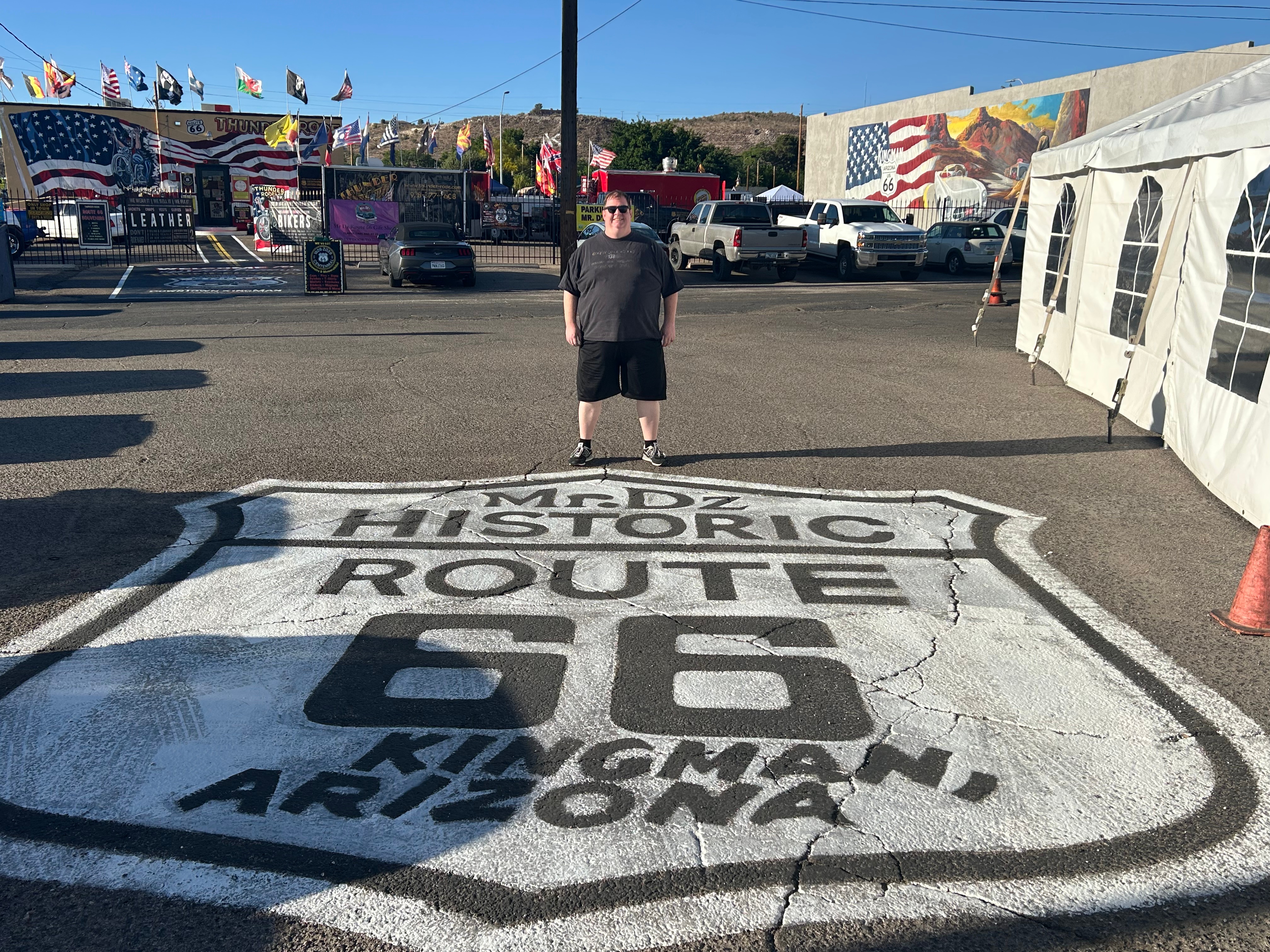
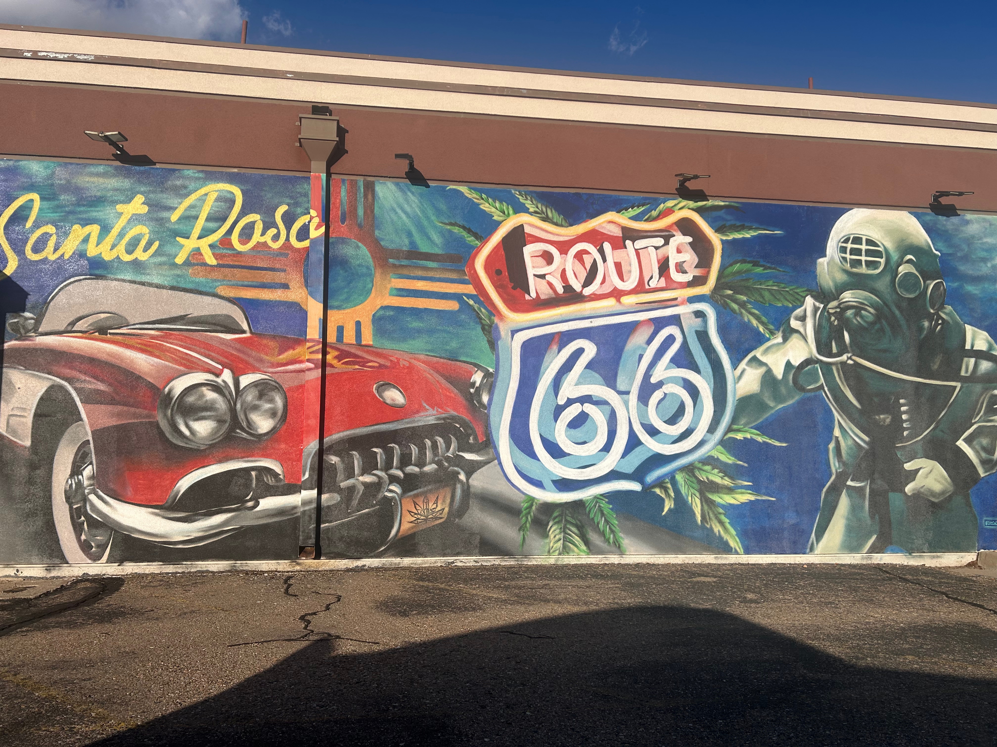
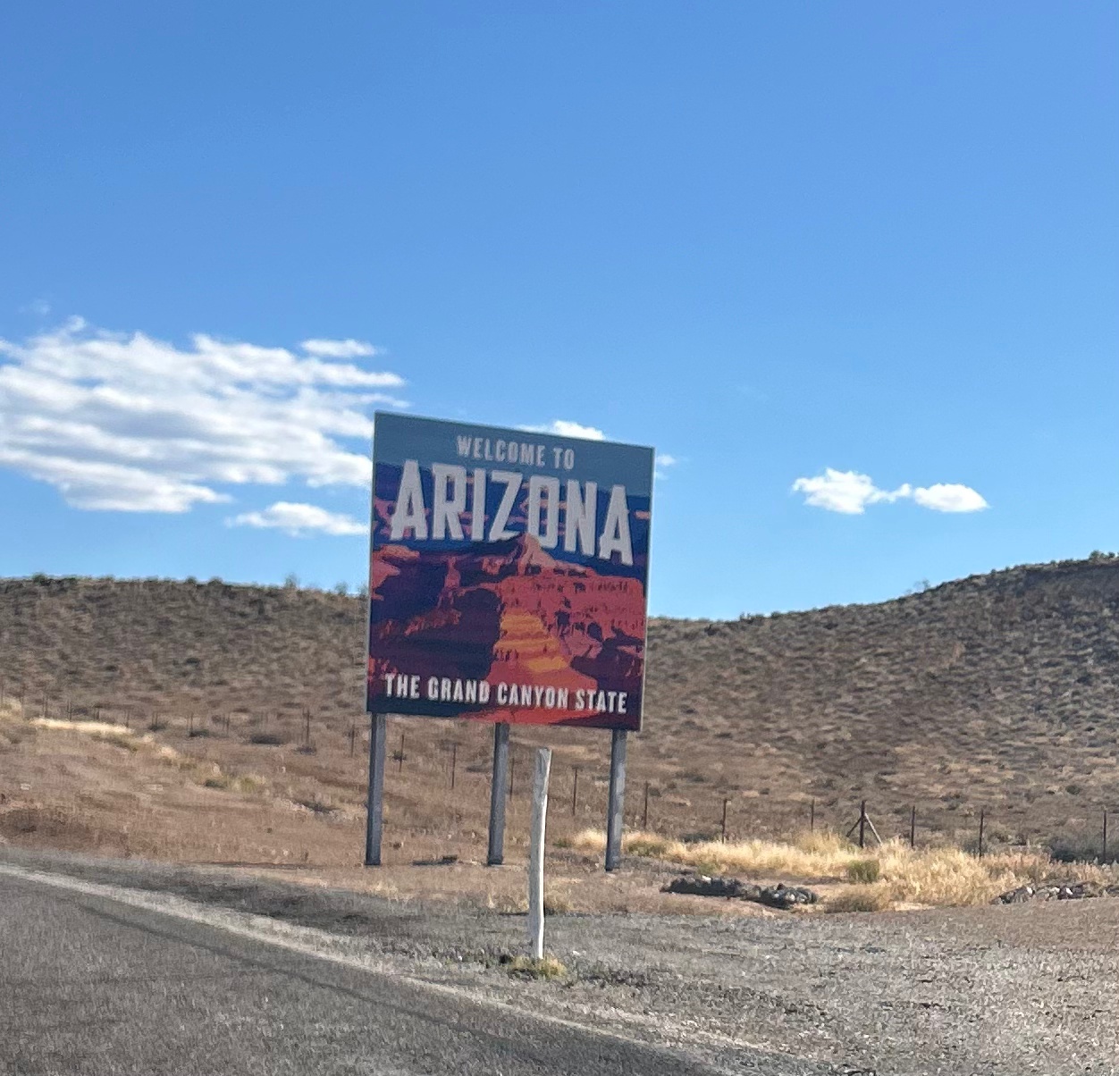
Since we didn’t picnic at Lake Mead, we headed over to Route 66 in Kingman for a bite to eat at Mr. D’z Route 66 Diner. We’ll call it lunch, but time was in flux; we lost an hour going into Arizona by moving to mountain time, but then the state didn’t recognize daylight savings time (but then some reservation lands did follow it). Whatever meal you want to call it, our meal was so good. They made in-house root beer which I had. Thom upped the ante by having a root beer float, which also featured their homemade ice cream. I had a Harley Davidson Dog, which was topped more like a hamburger, including some special sauce. The diner was themed with all your typical Route 66 memorabilia, but we were also there during the Route 66 Centennial celebration. So, we got to watch all sorts of awesome cars drive by while eating.
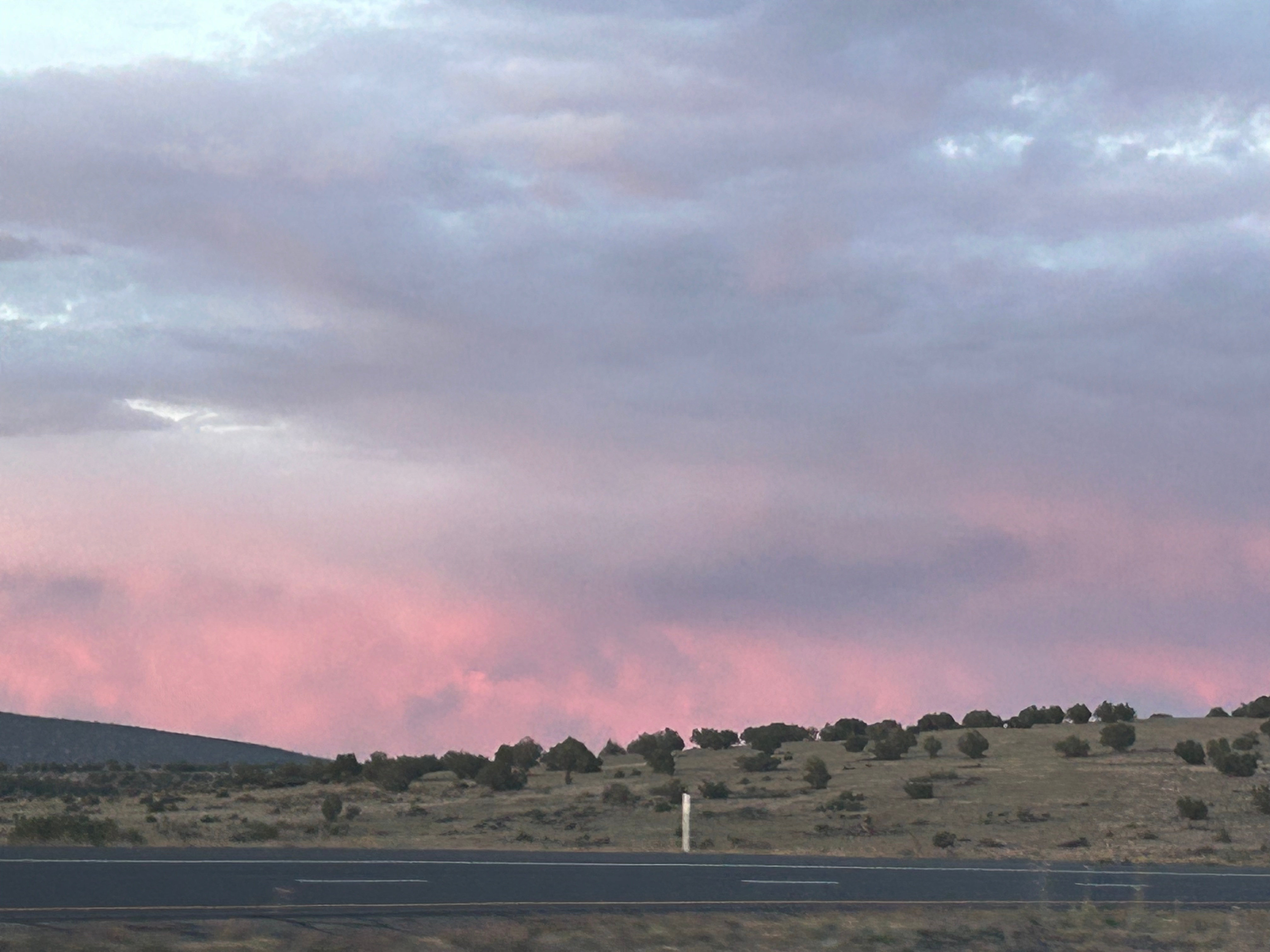
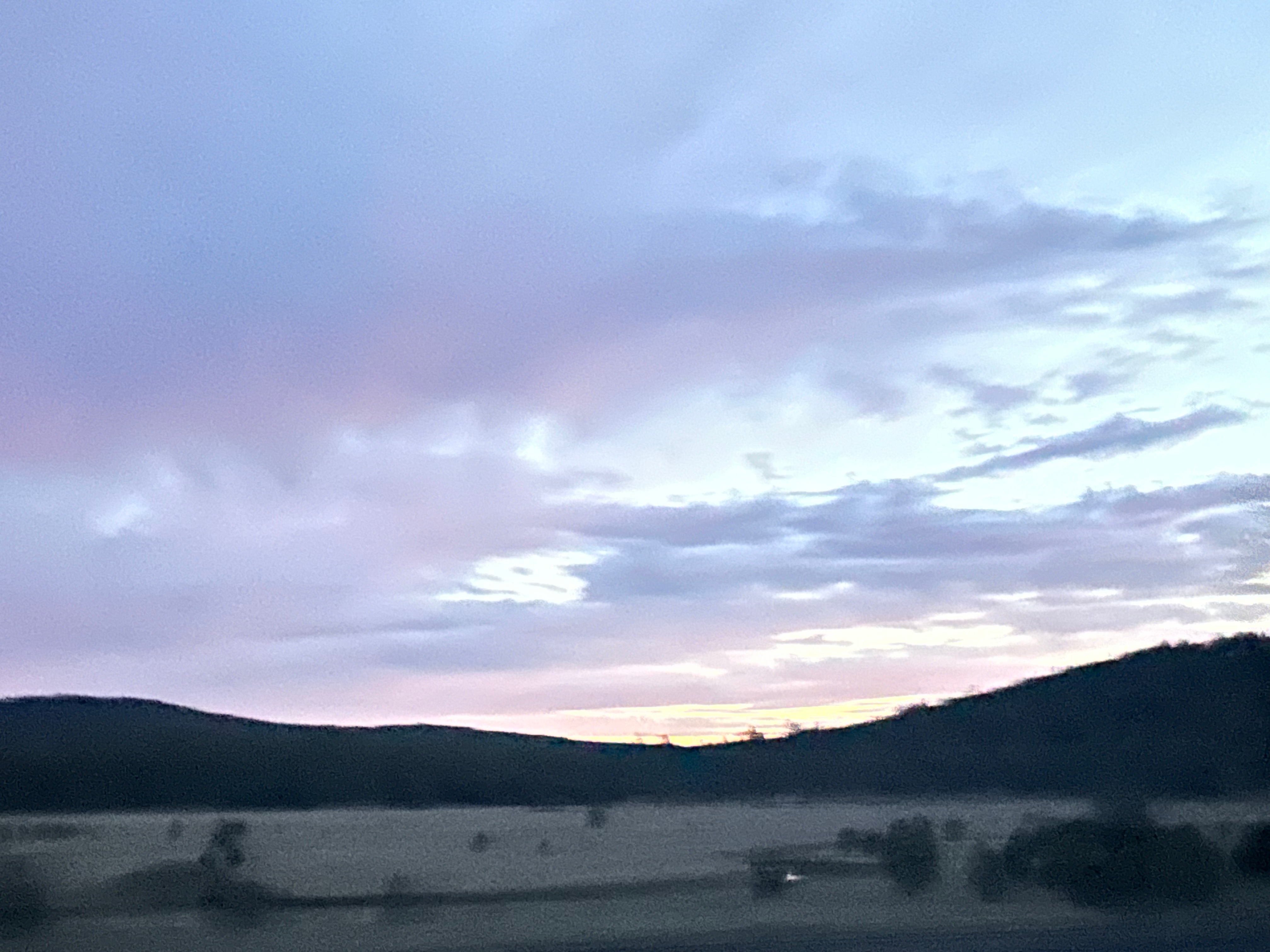
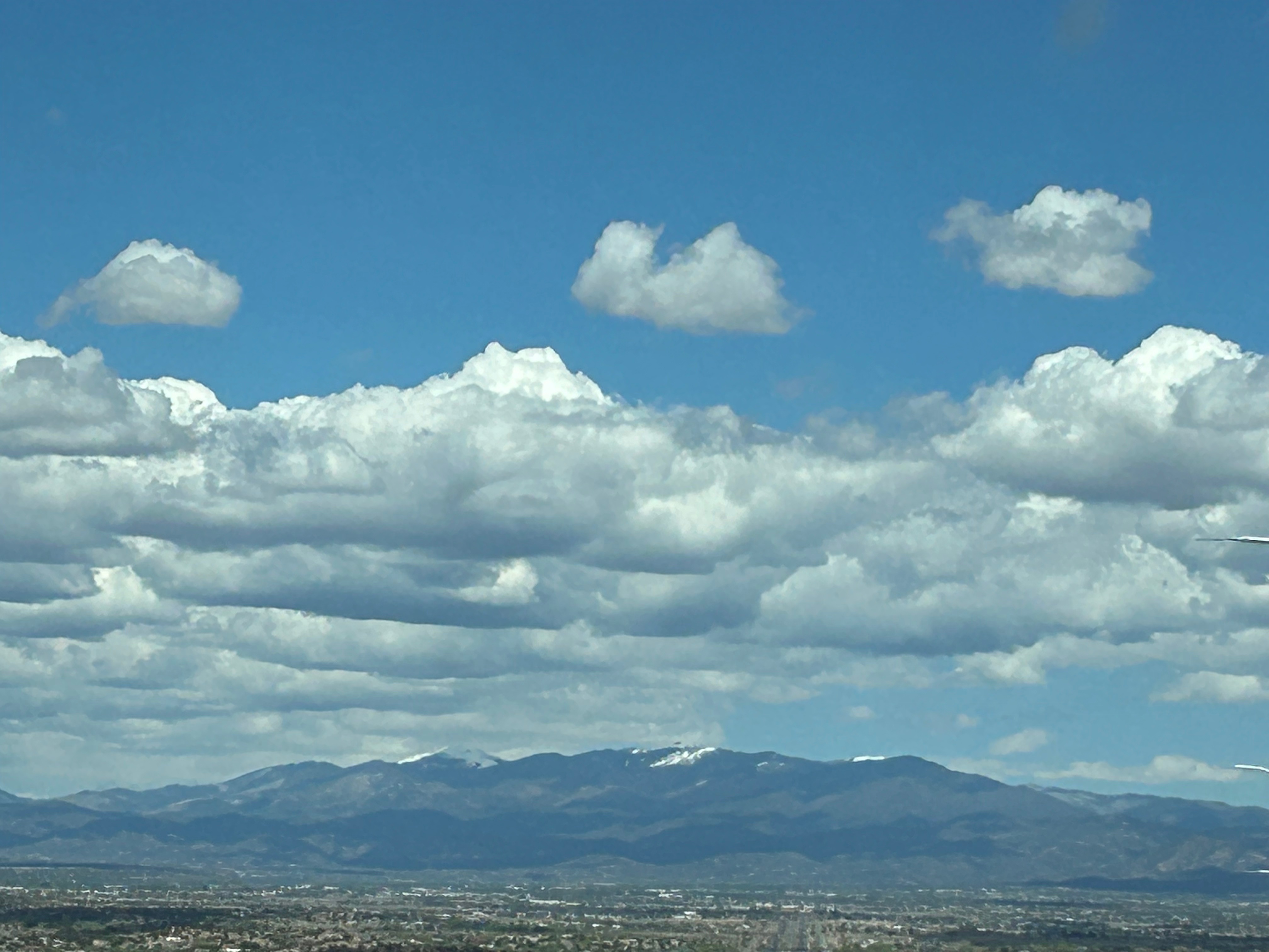
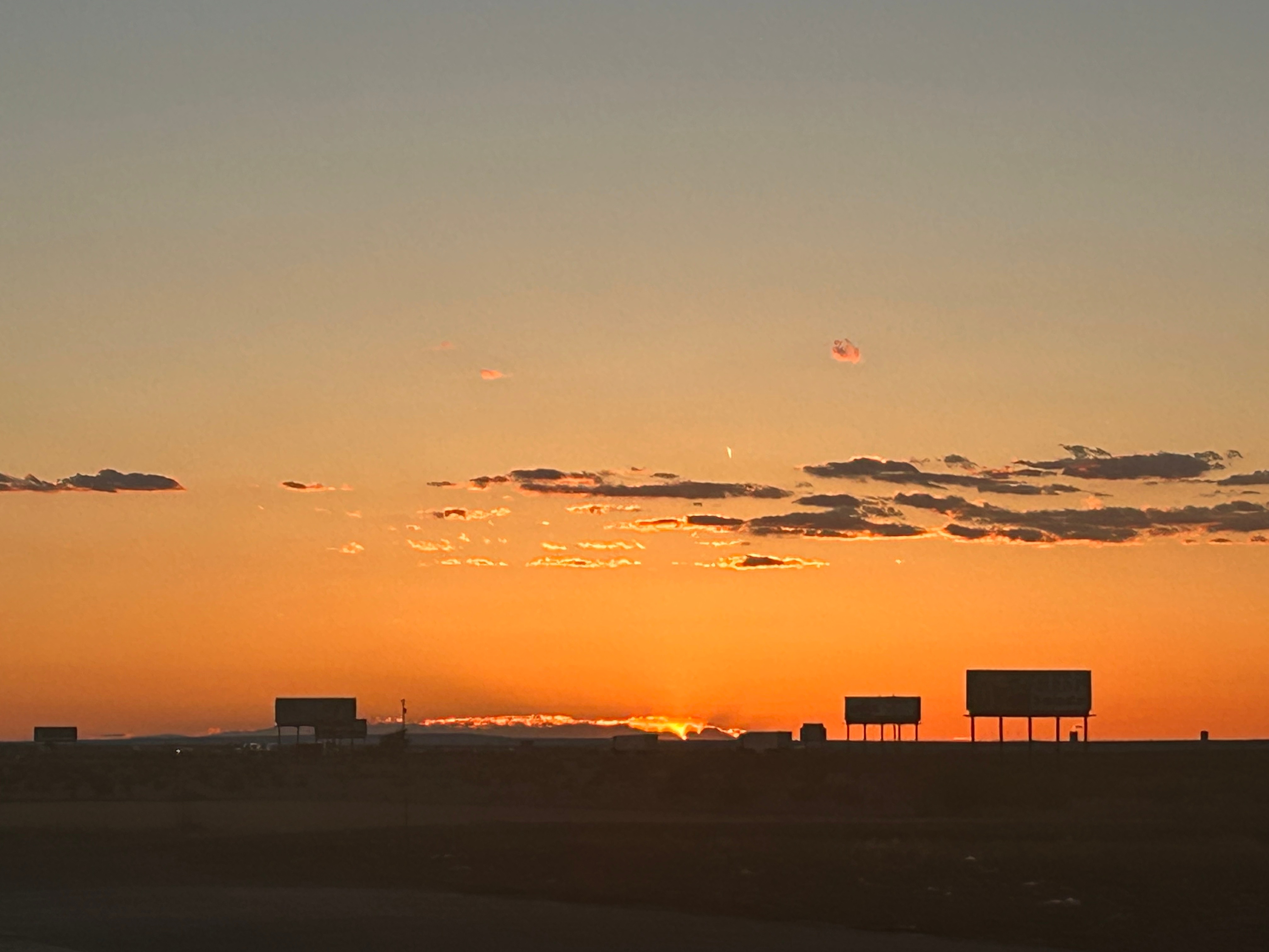
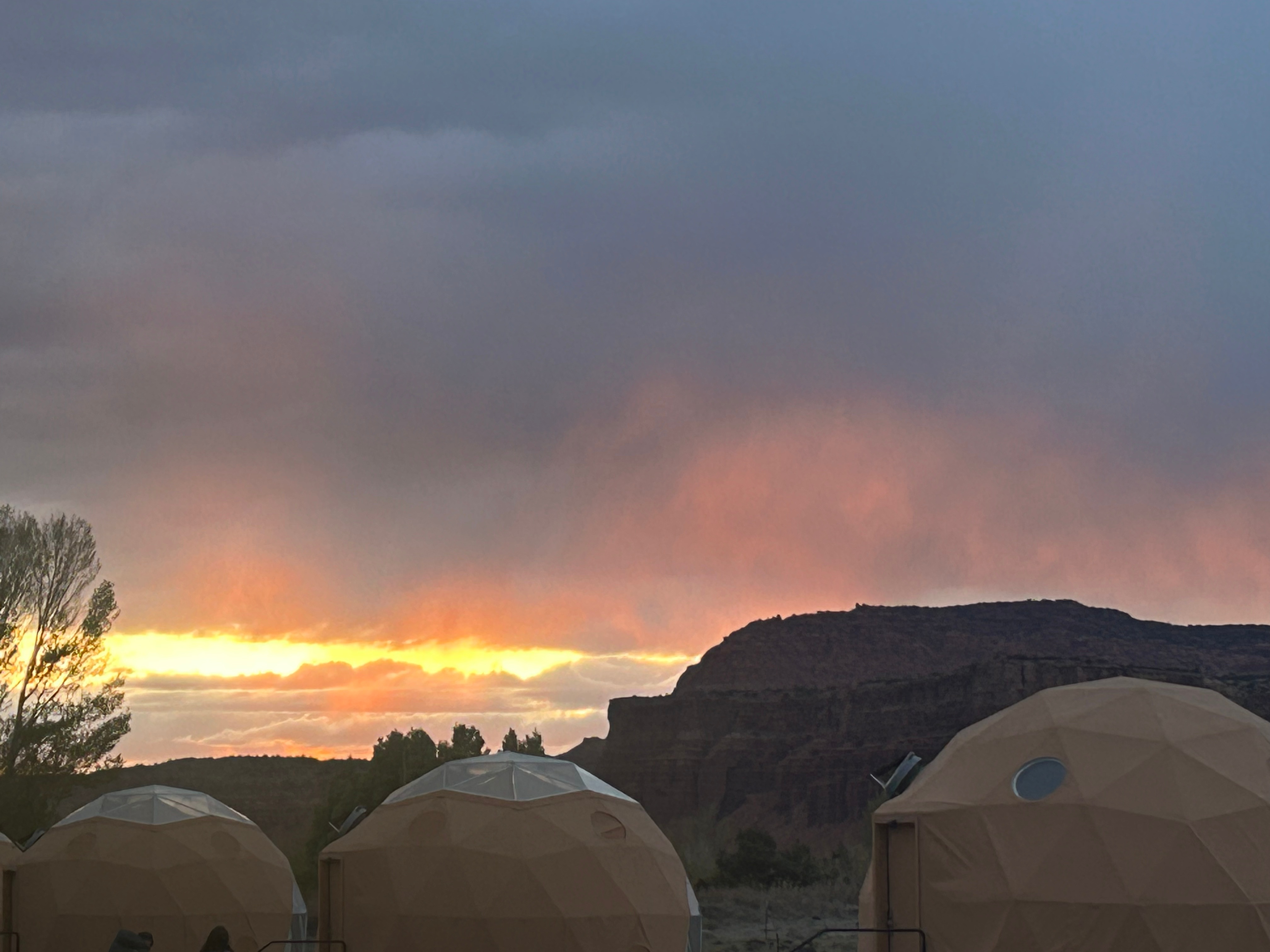
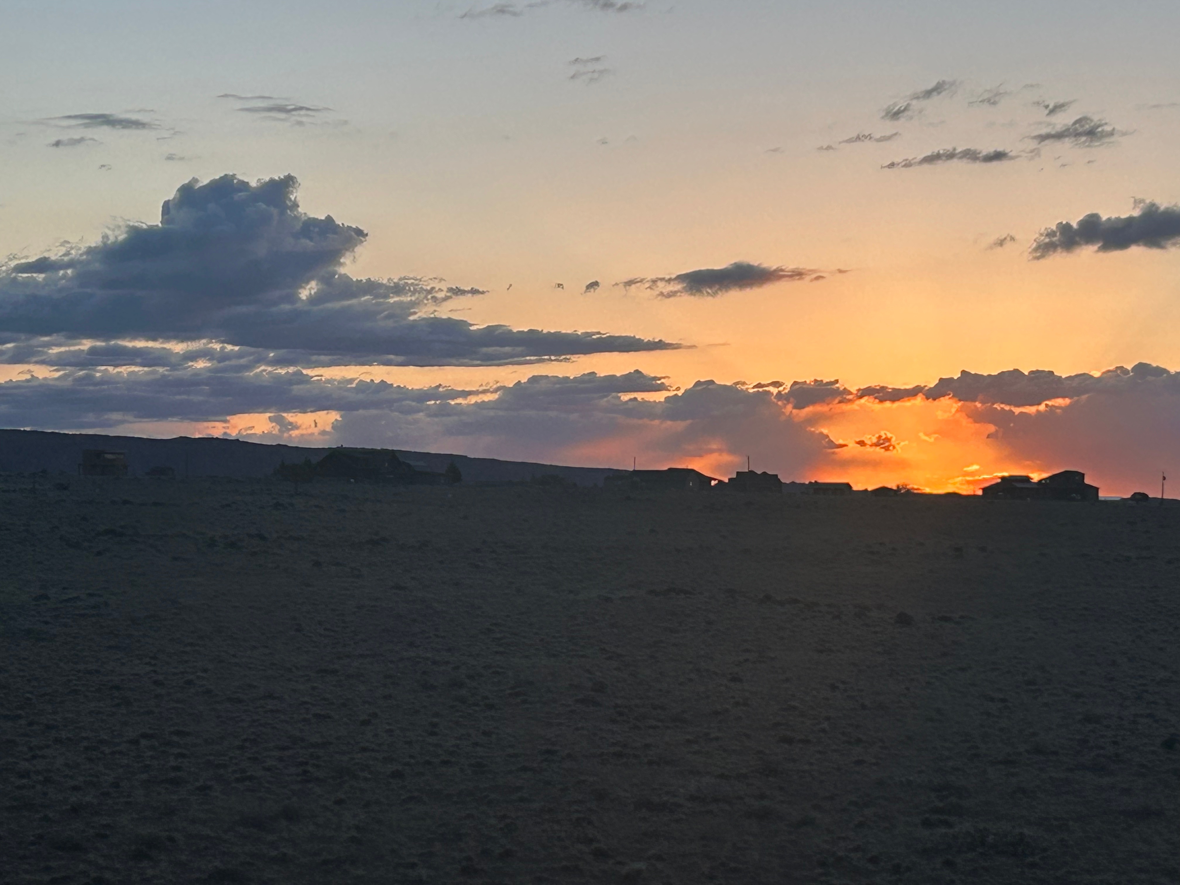
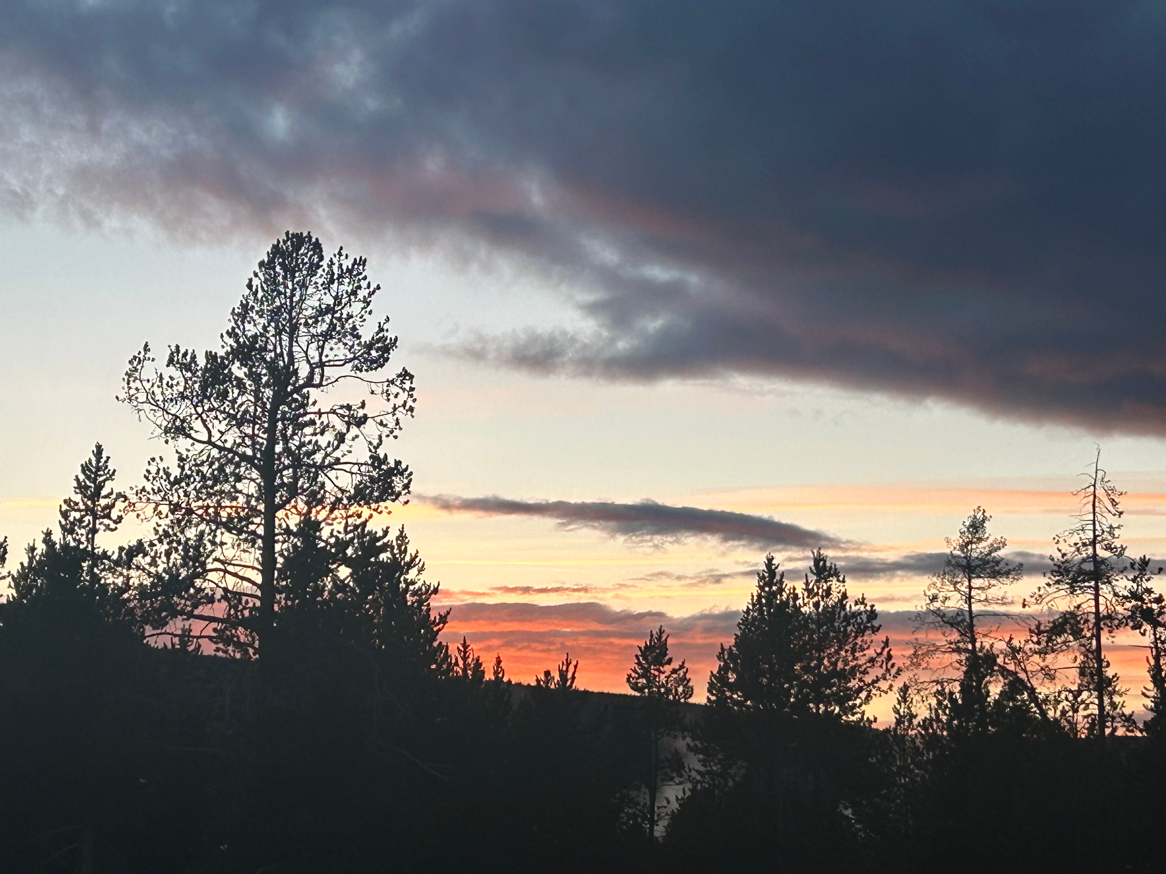
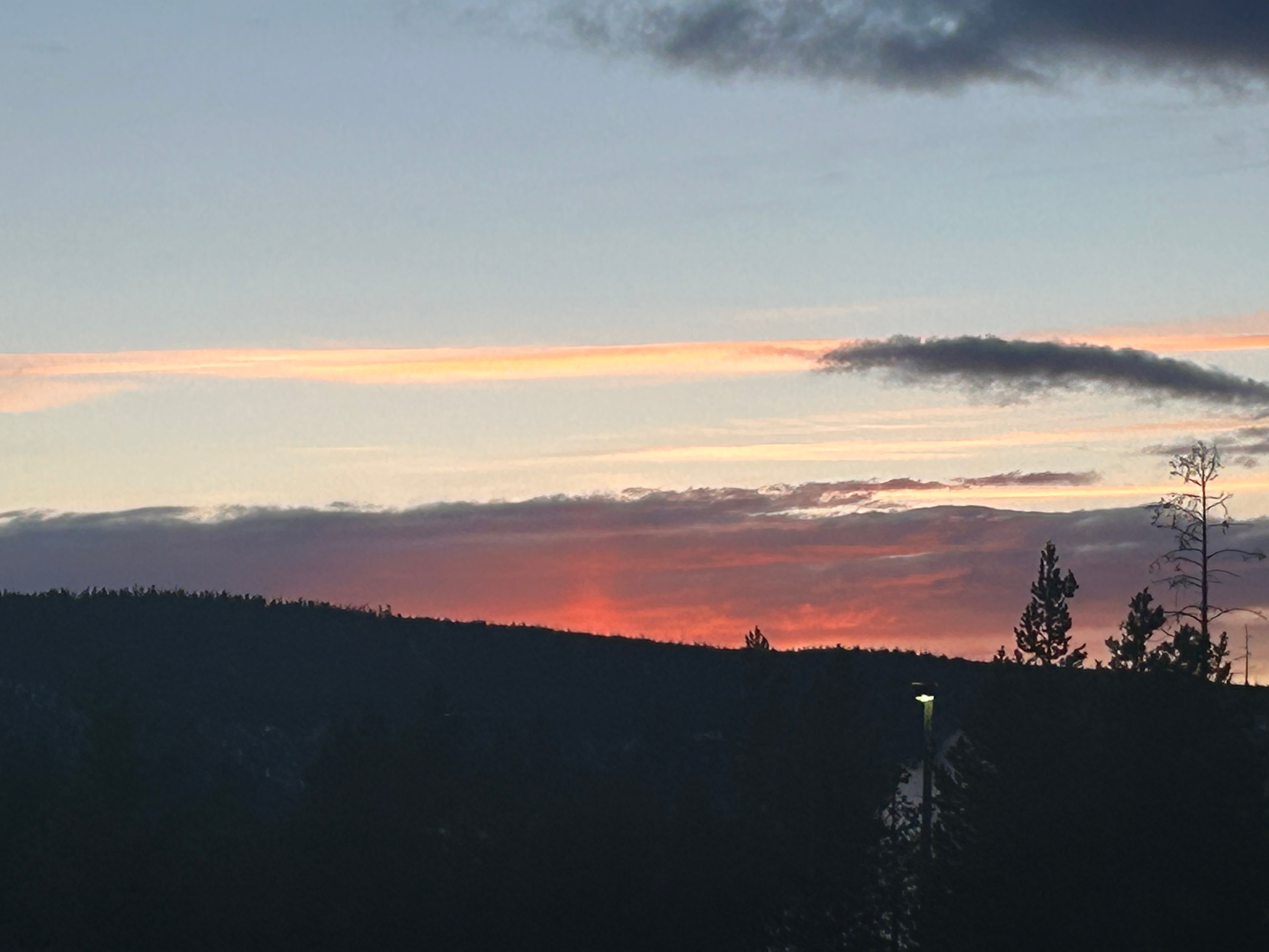
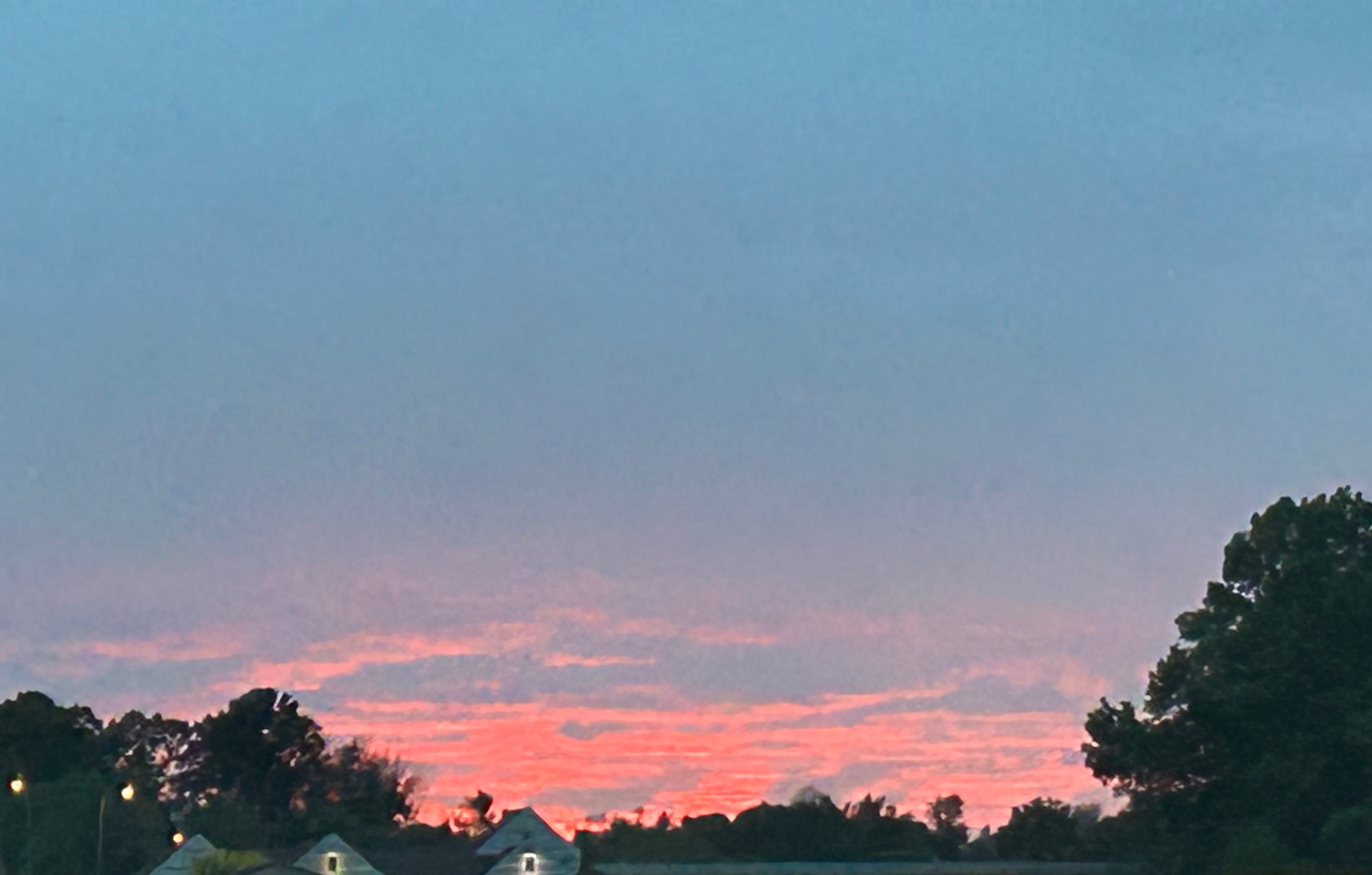
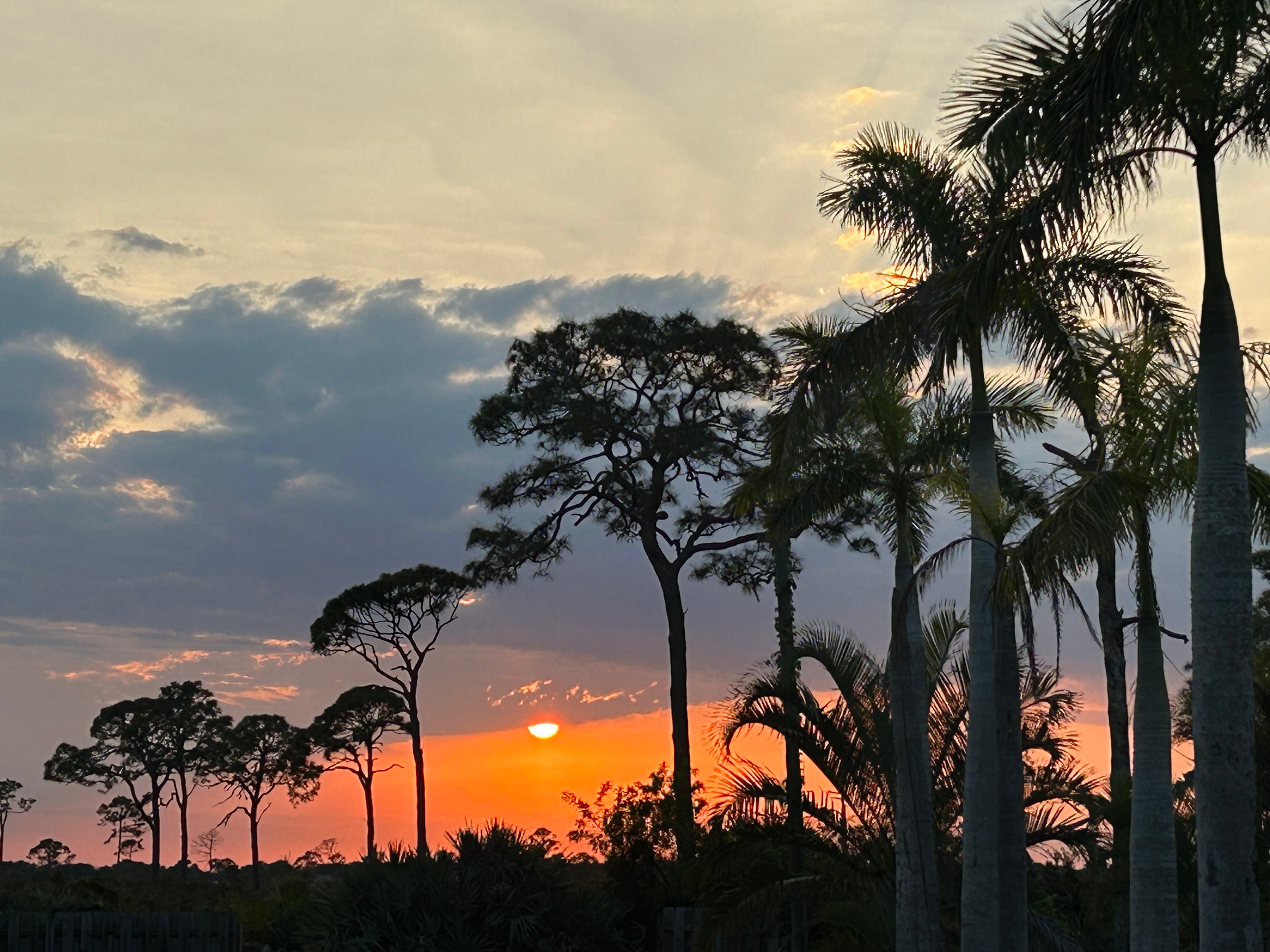
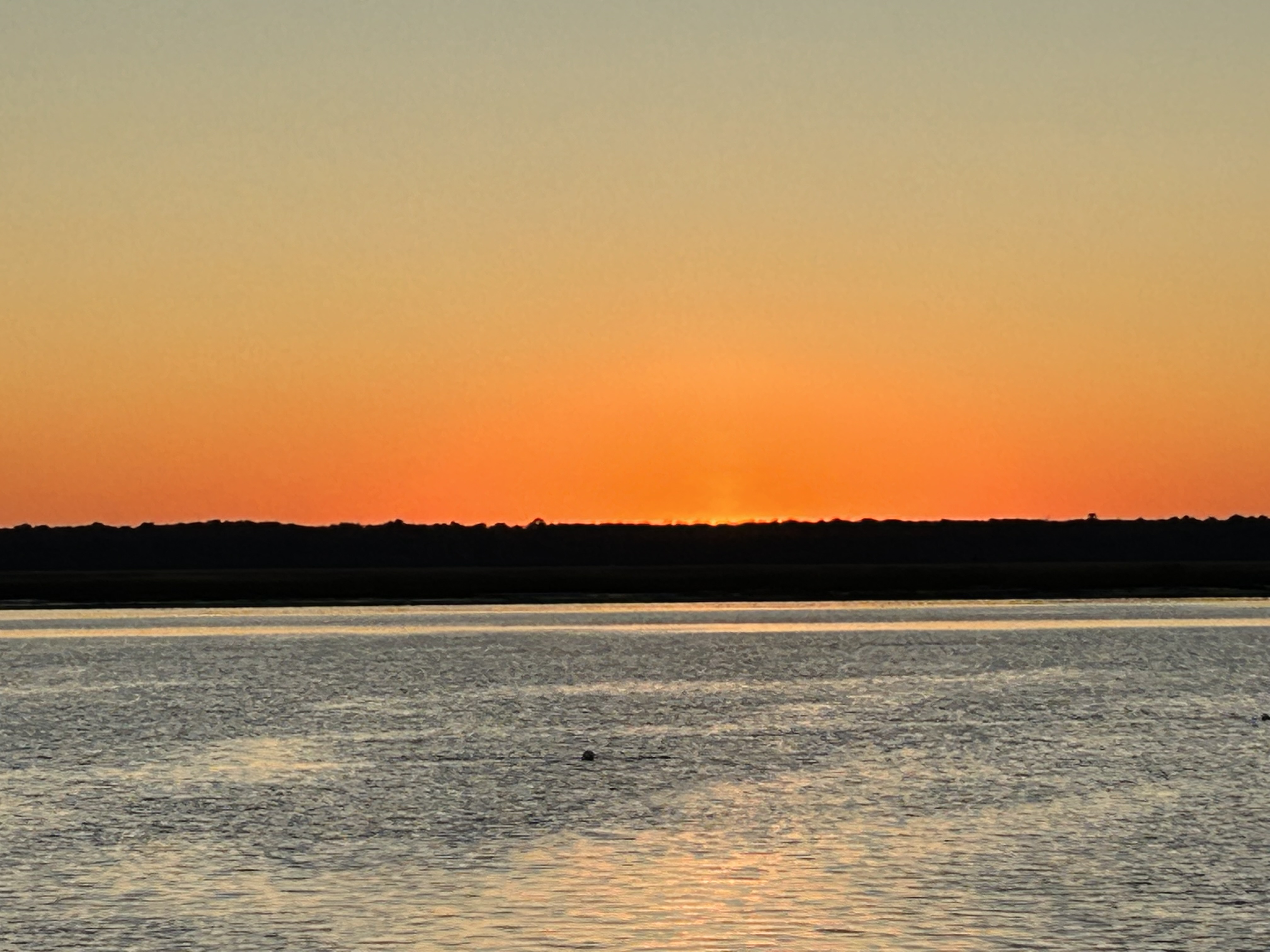
We thought we’d be able to catch the sunset from our spot for the night, but the sunset was an hour earlier than expected due to the time shenanigans. We enjoyed watching the colors change ahead of us instead, and then we watched the moon rise as the clouds built up.
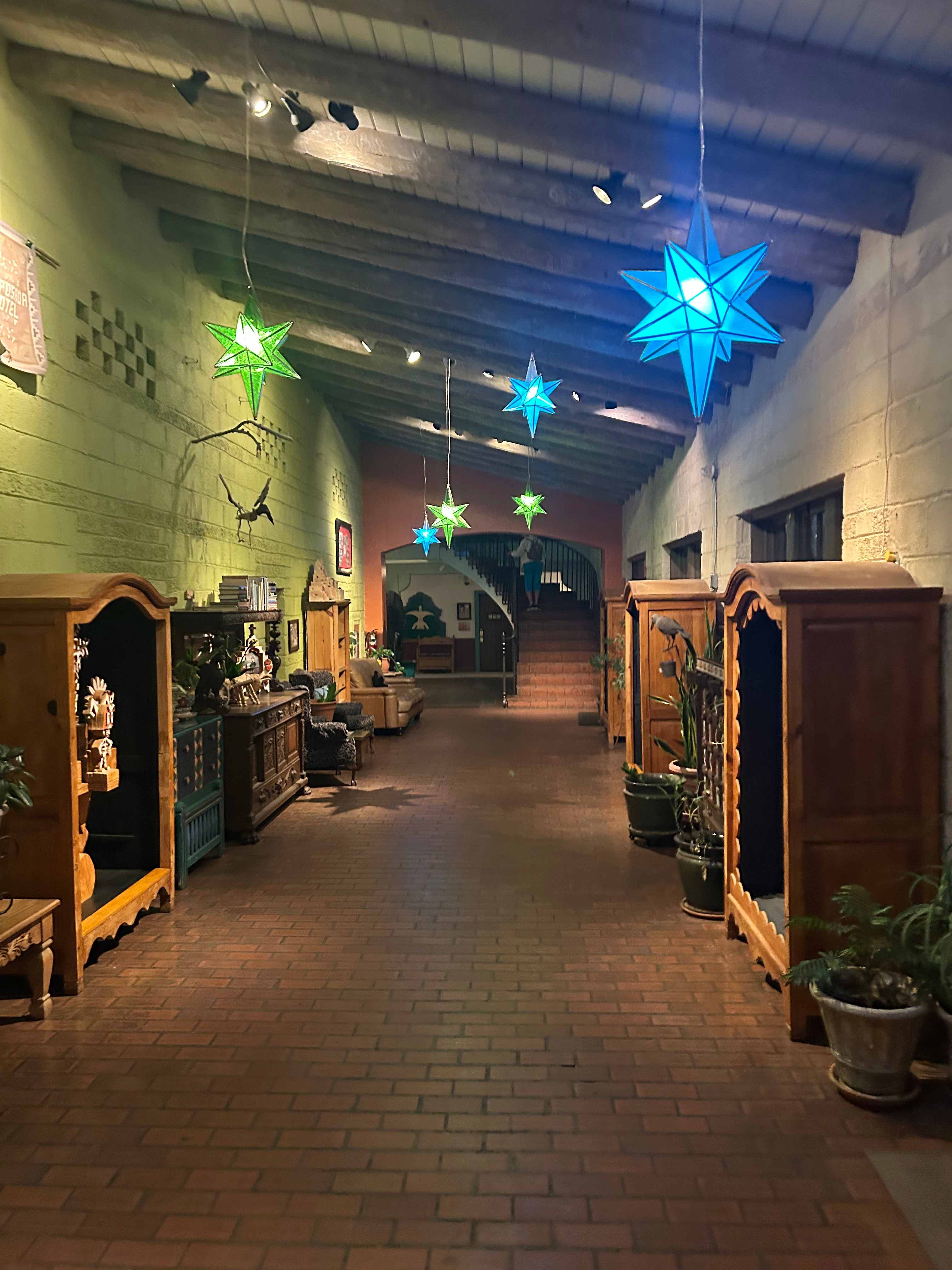
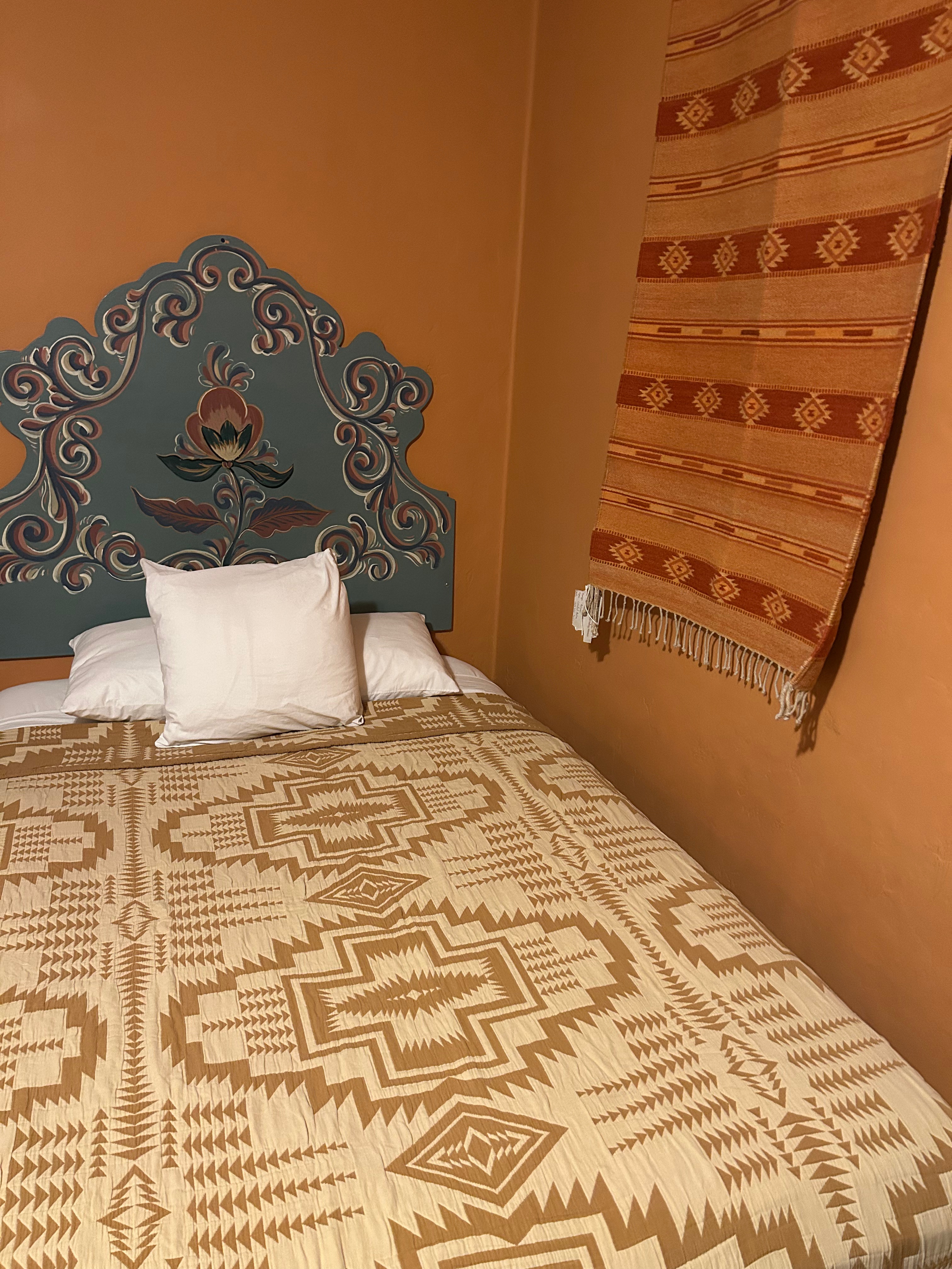
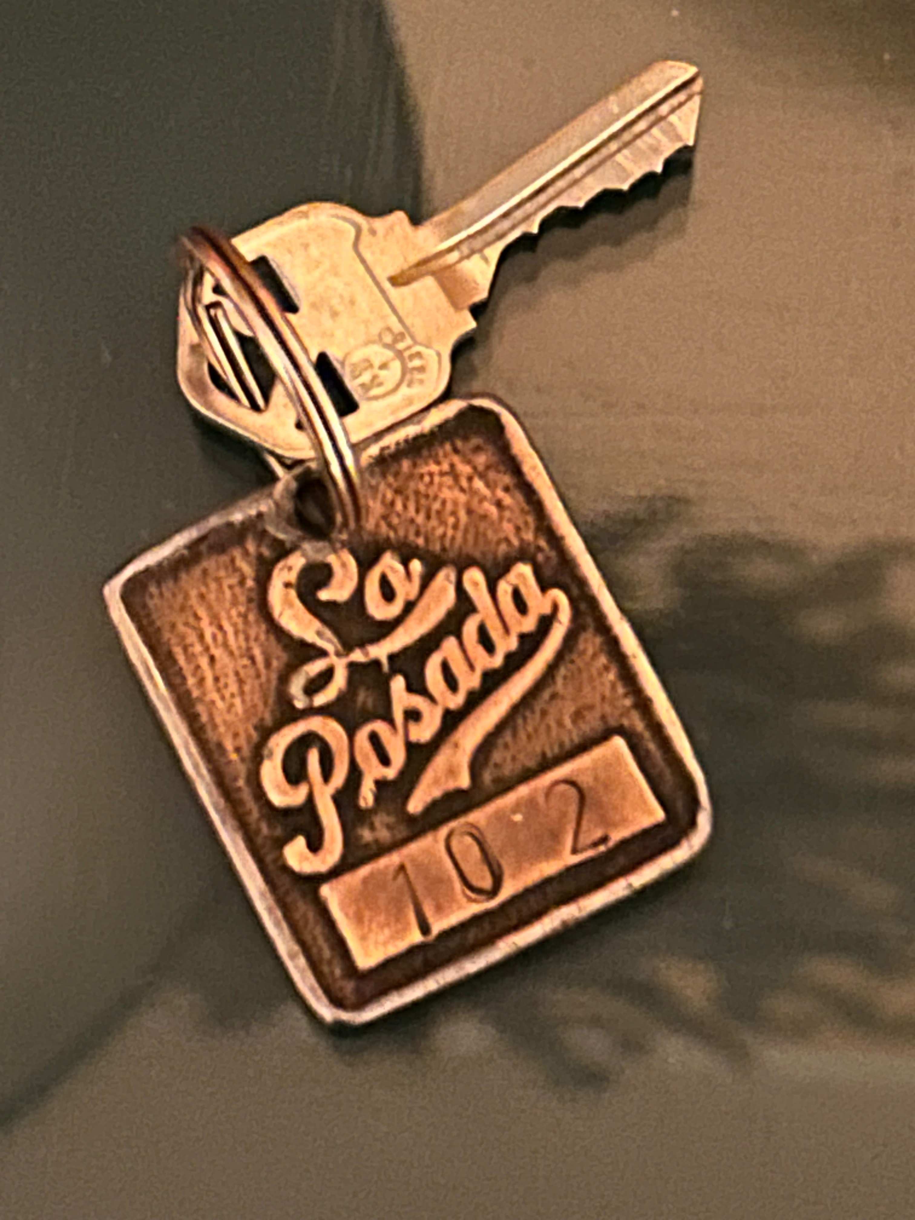
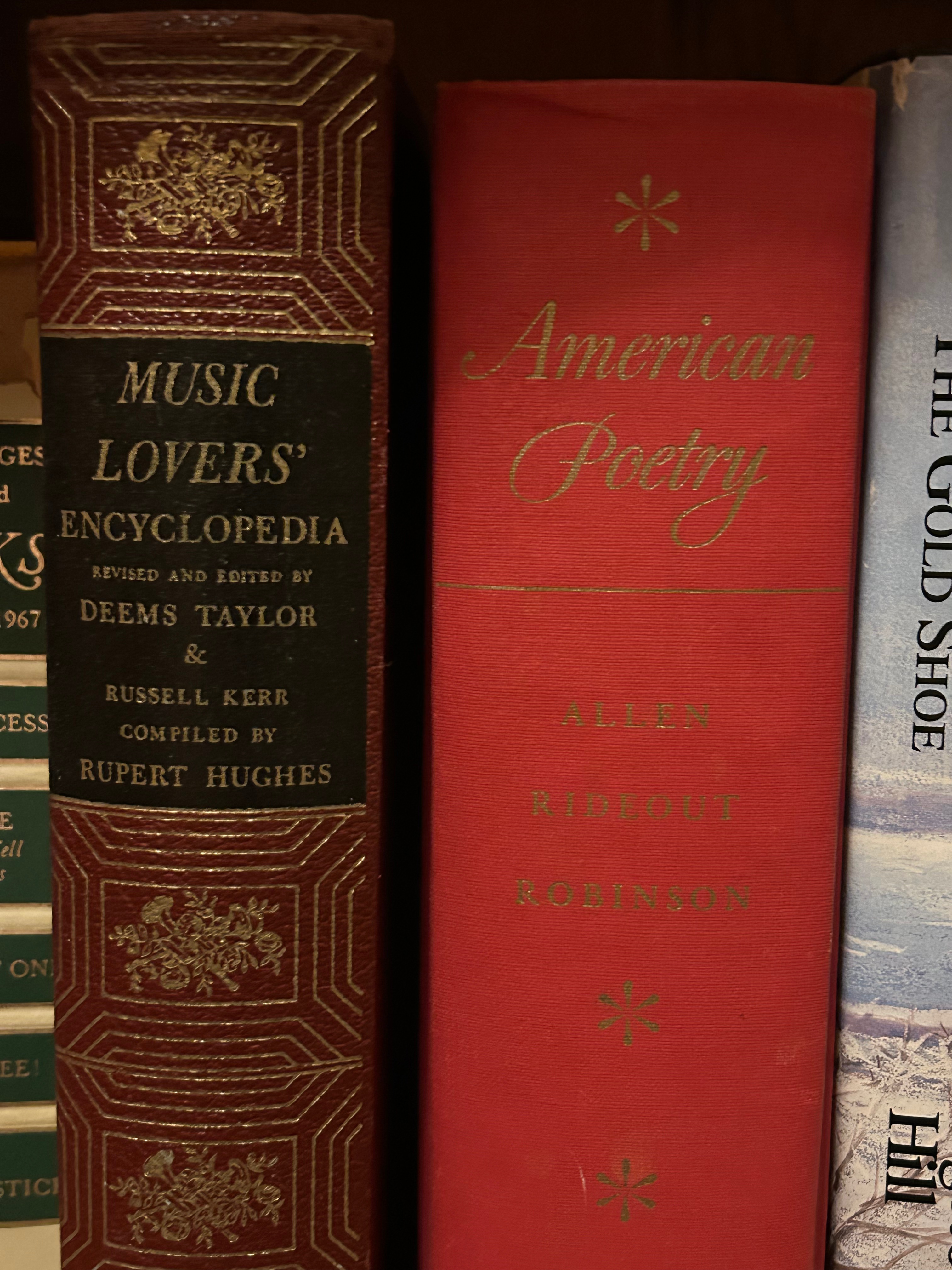
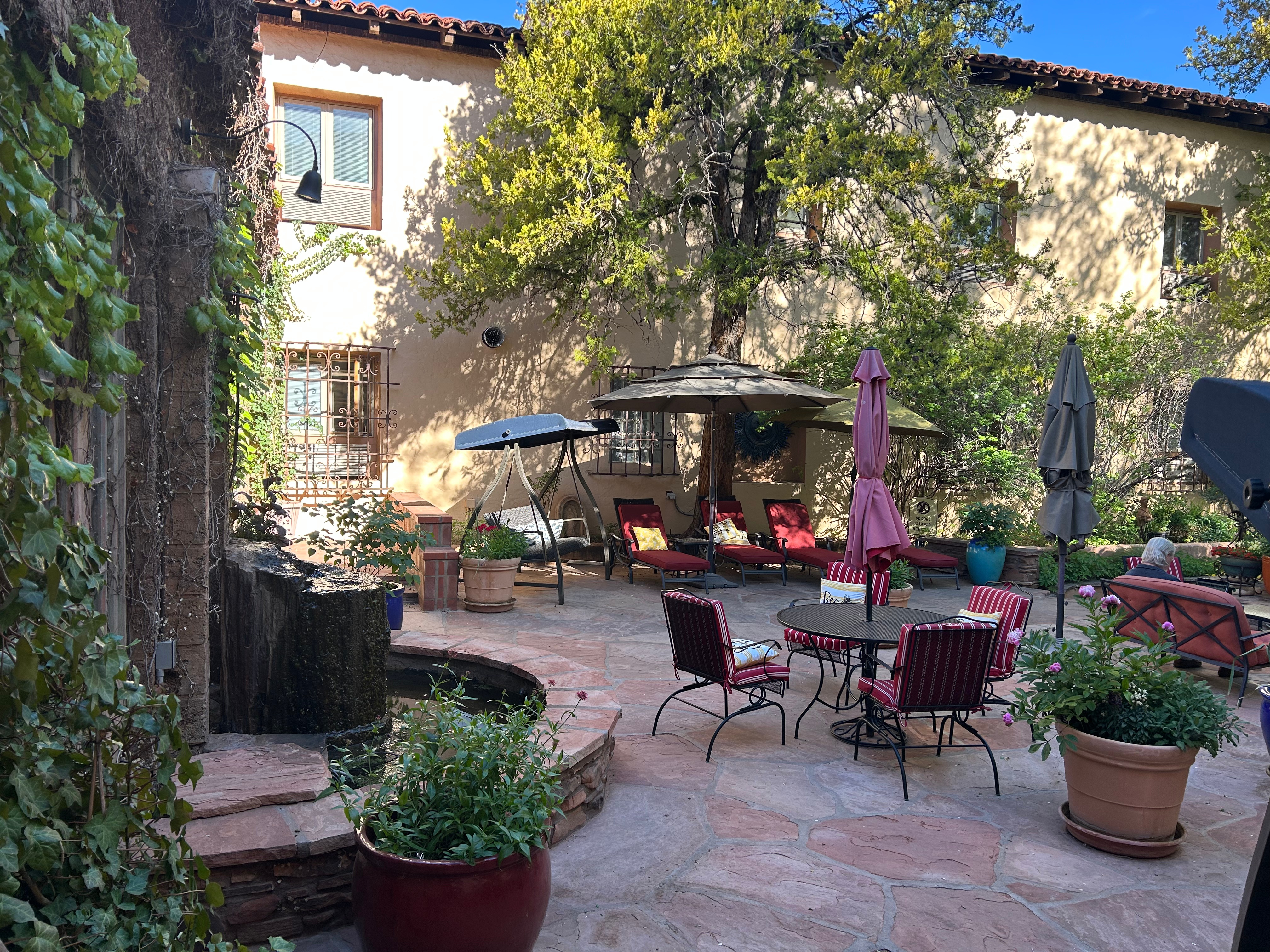
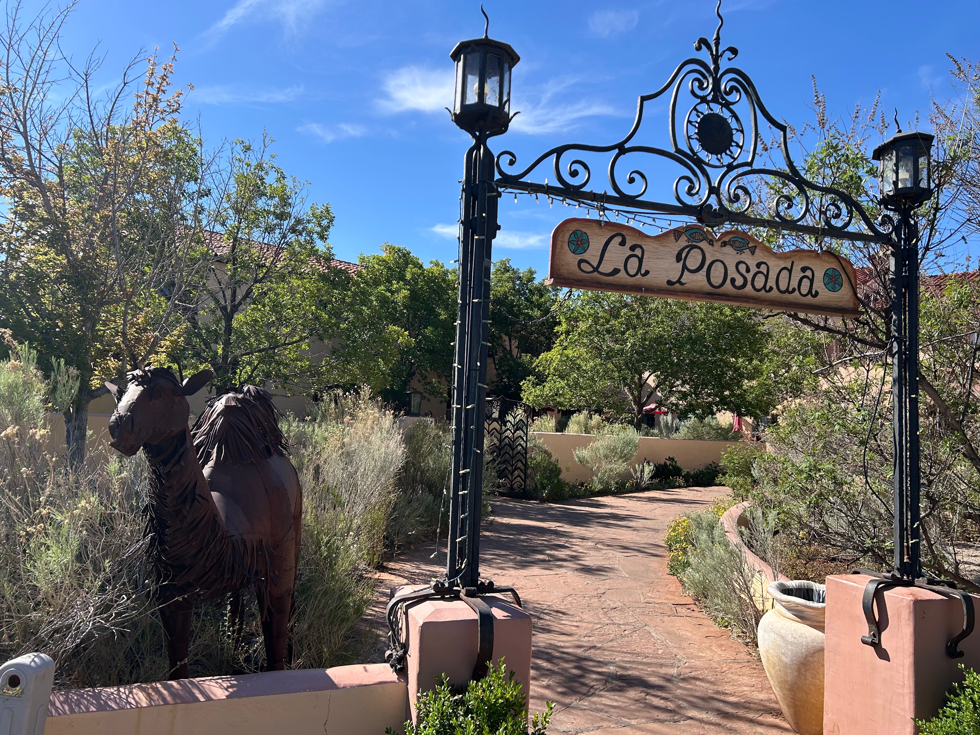
Our stop for the night was in Winslow AZ. No, we didn’t go to the corner, but we did that on our last big trip…you can go check out those obligatory (but fun) pictures from then. We arrived to La Posada in the pitch black evening, but even so, it was a beautiful property. It was part hotel, part history museum, part art museum, and (still) a train depot. Our room even had a bookshelf with all sorts of old books, so we wound down that night perusing books and reading poetry. Such a sweet moment.
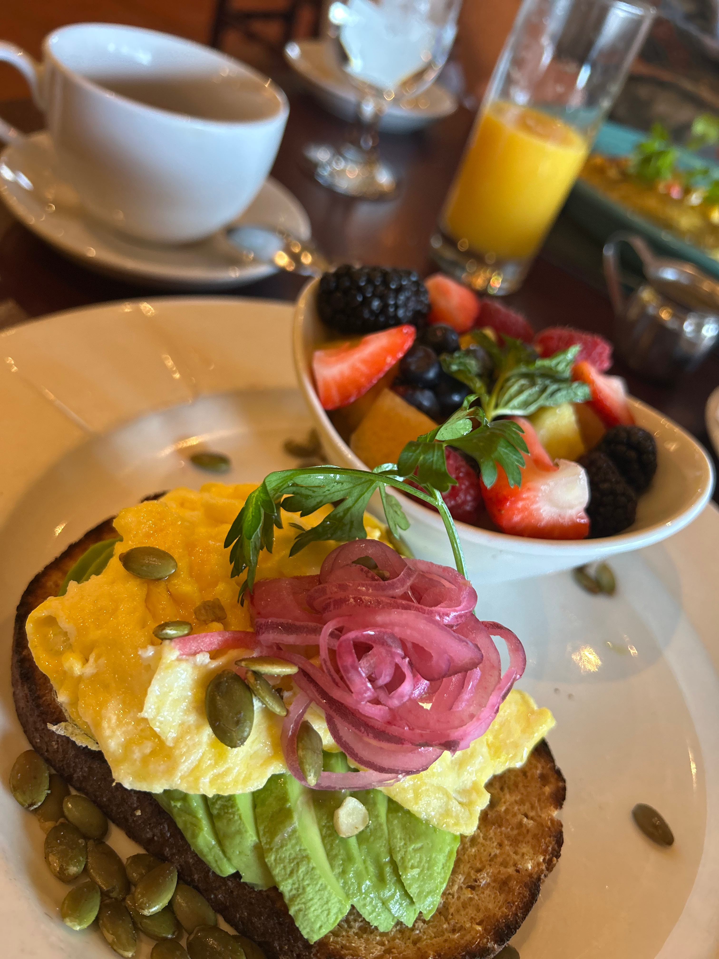
The next morning, we had breakfast in the highly-rated Turquoise Room while watching trains come and go. We got to check the property out a little more and I lamented that we couldn’t stay longer. Nothing new there, I wish I could stay longer and explore more just about everywhere we go. But, at this point in life, we just get snippets of time available to travel. We try to hit the big points, and I always hope to someday circle back and savor things a bit more.
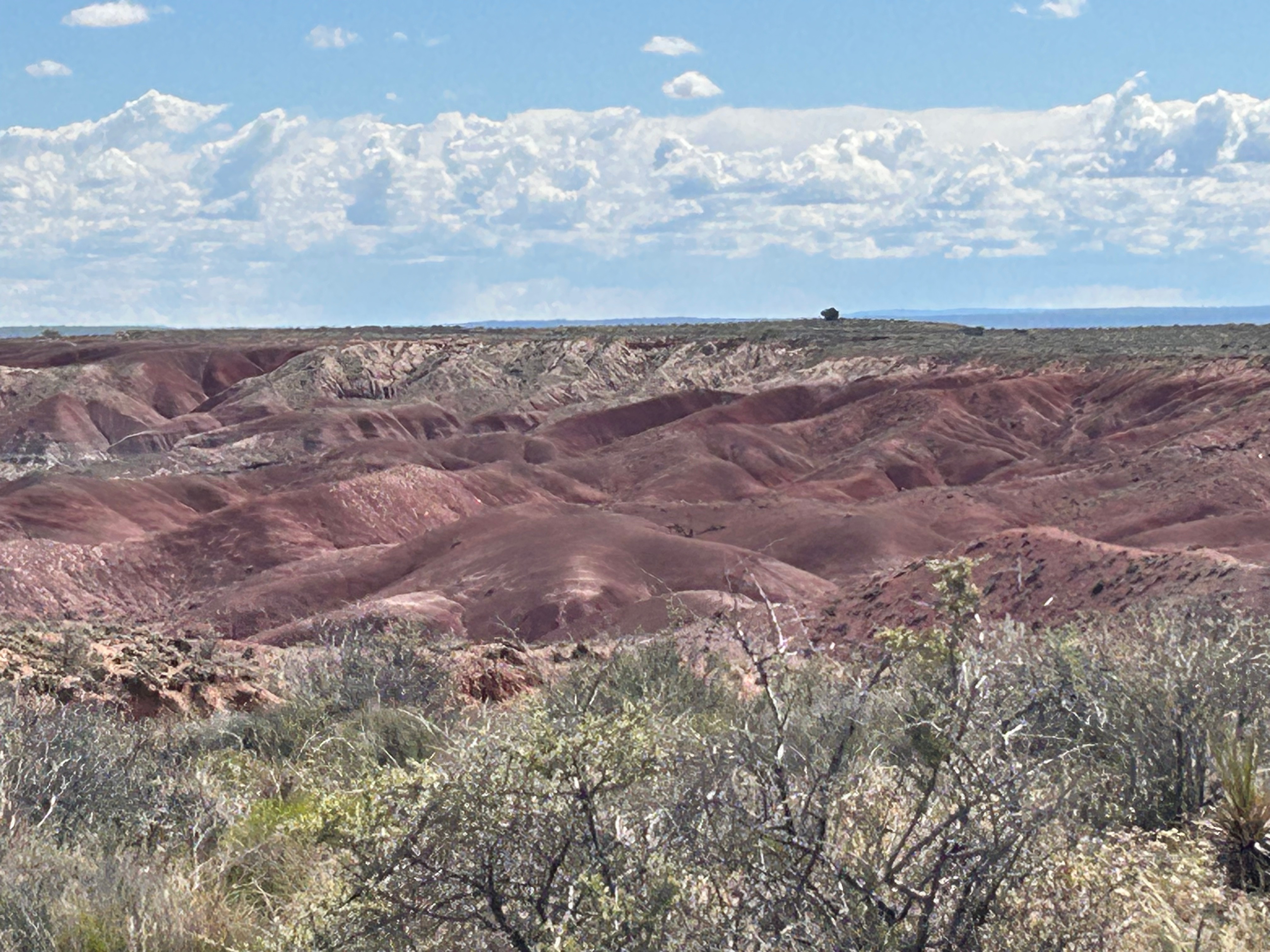
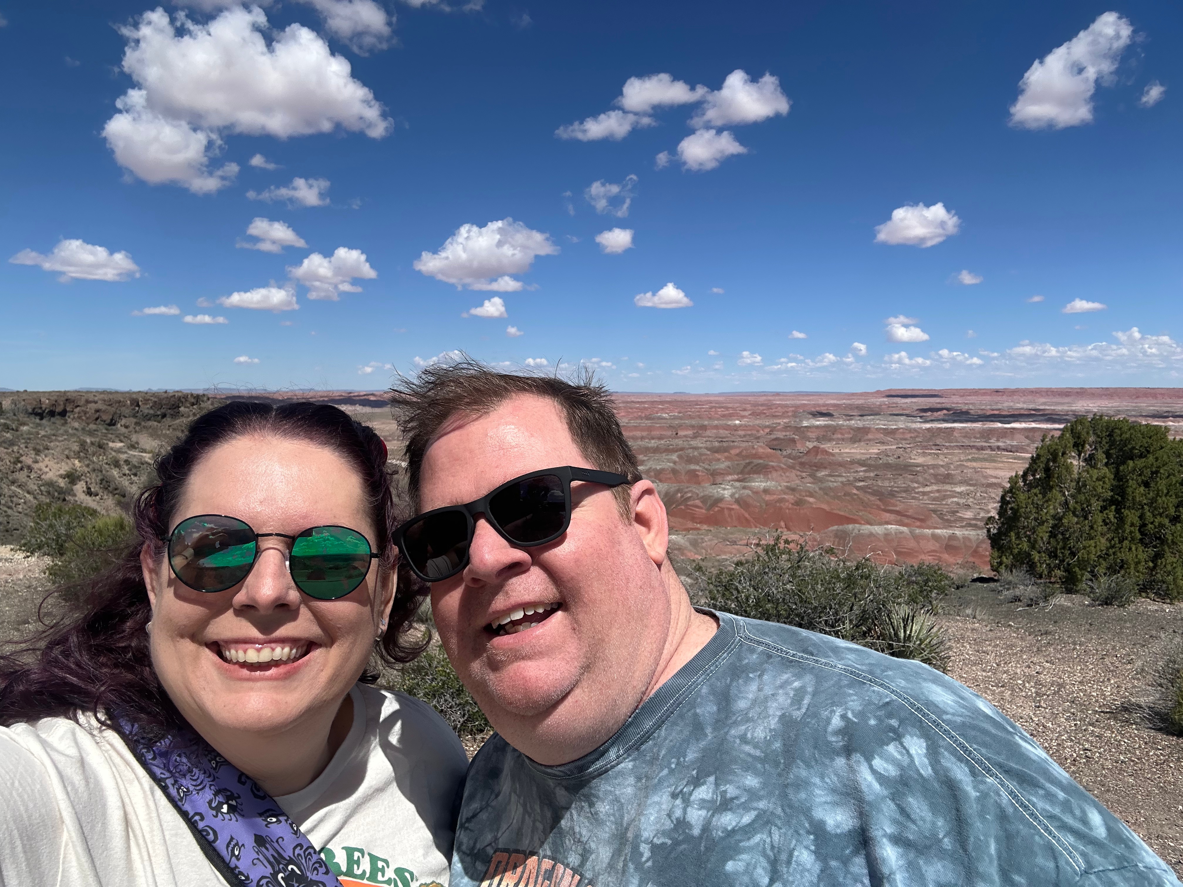
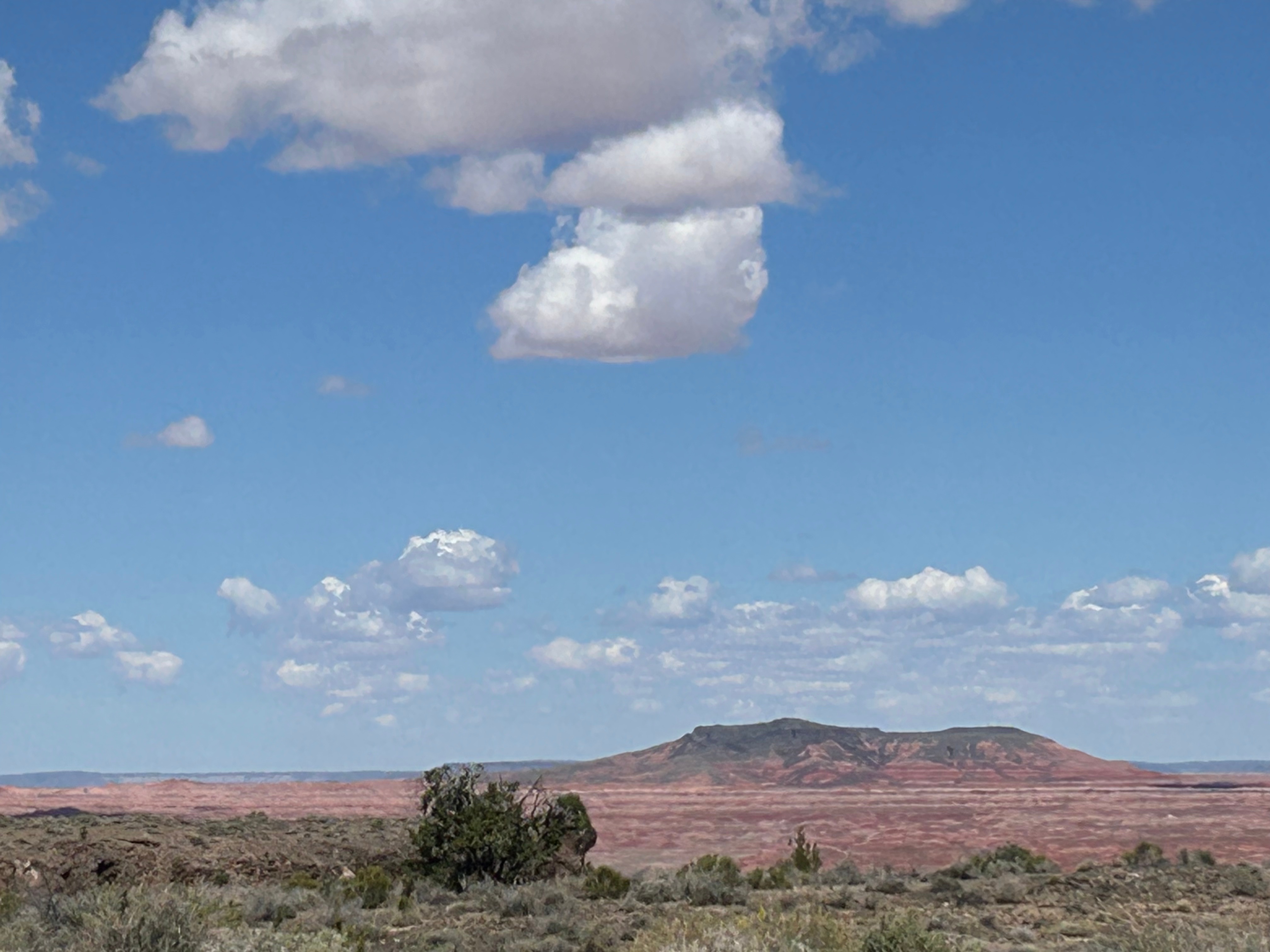
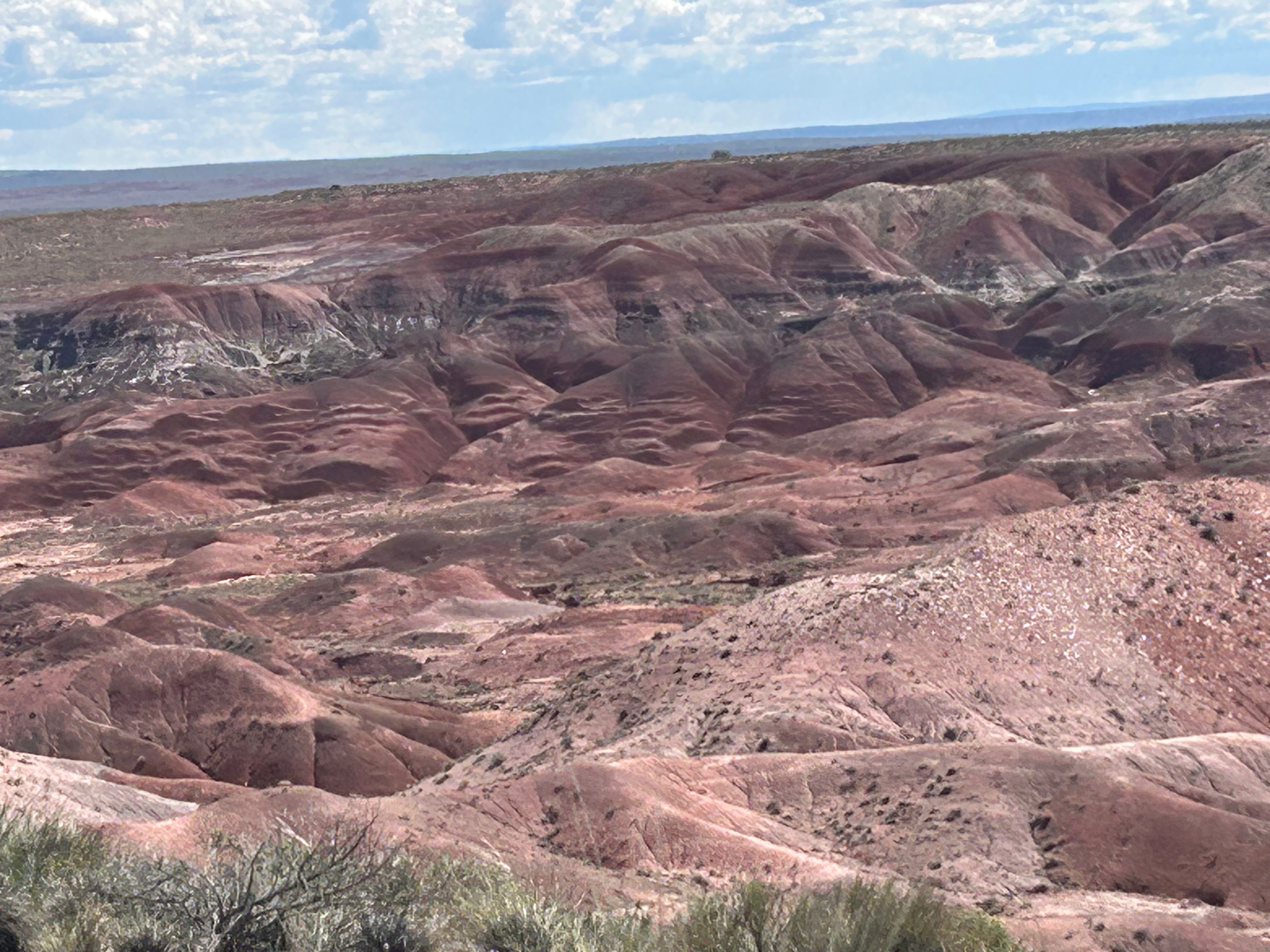
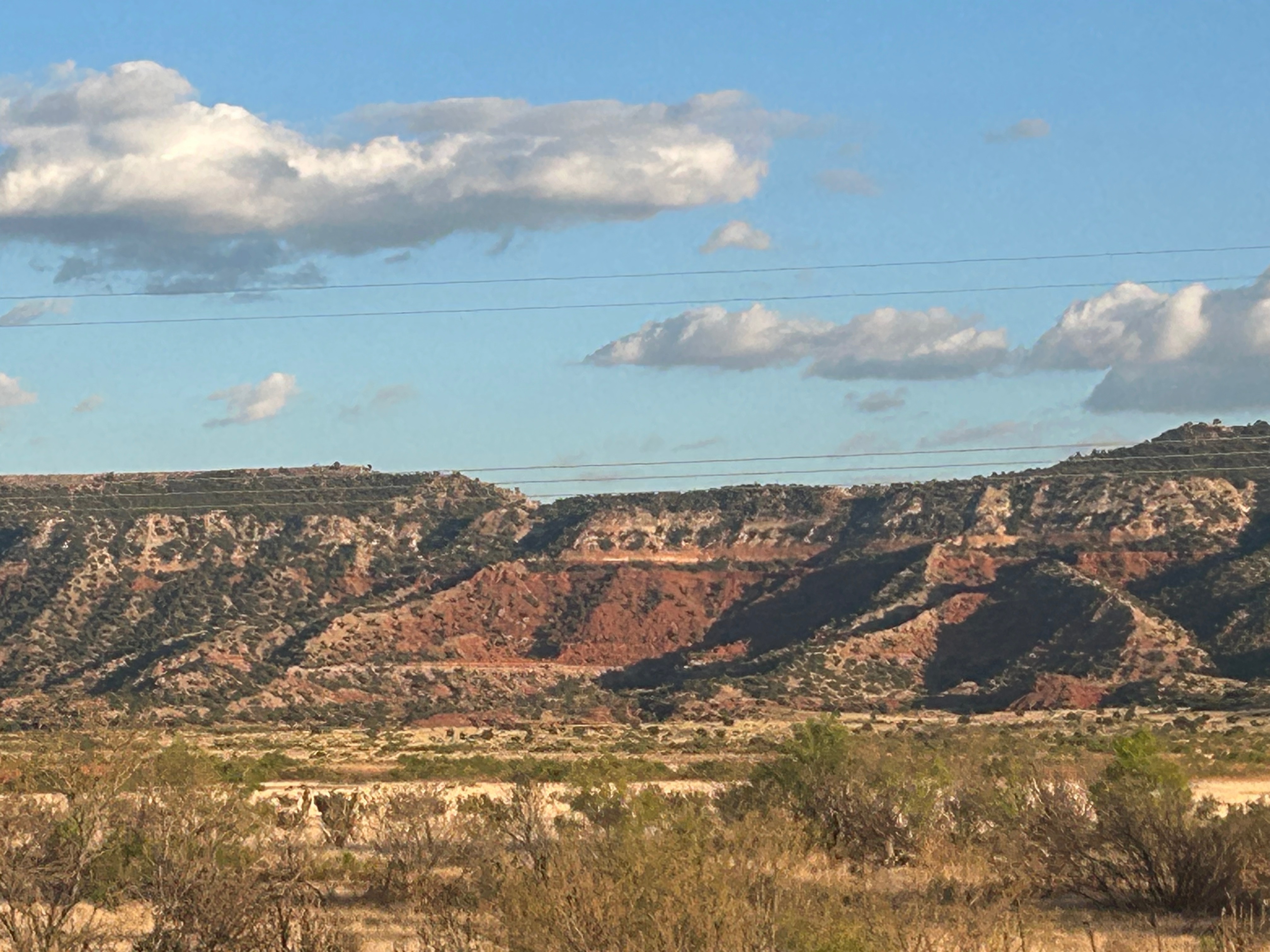
Speaking of circling back, our next stop WAS somewhere we went in the past. We were going past the Petrified Forest National Park (aka the Painted Desert), which we had thoroughly enjoyed a few years back. I think it’s still my favorite NP of all that I’ve been to. It doesn’t translate at all in my pictures, but this place is magical. This is one of those places where you have to get out and let the view soak into you. We didn’t have time to drive the whole route, but we got to see a little of it and stop in the visitor’s center. On my first trip there, I had no idea you could purchase some of the petrified wood. I lamented not getting any, but didn’t want to just order some online…I wanted to get the real thing from a source I trusted to harvest it responsibly and sustainably–the national park. So, I finally have a little piece of petrified wood. :)
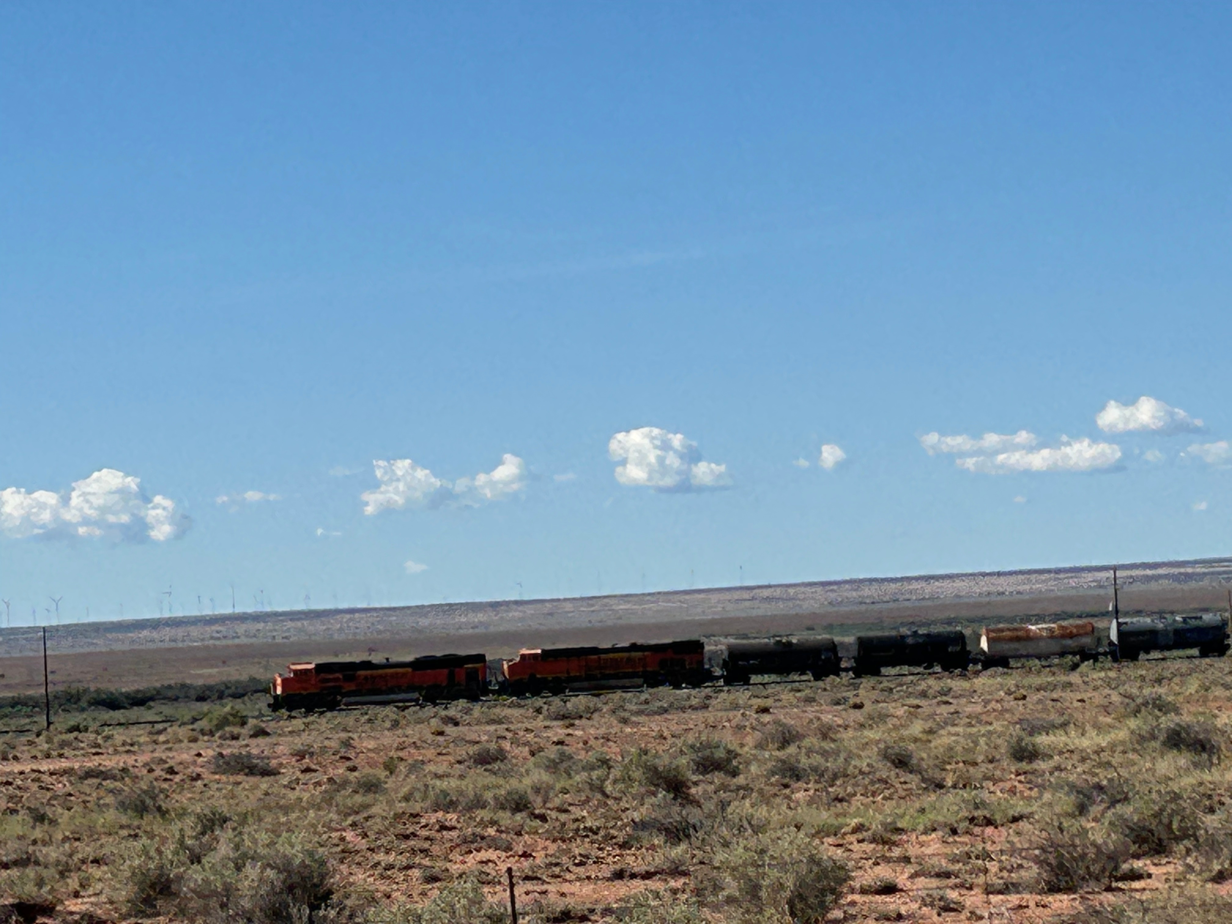
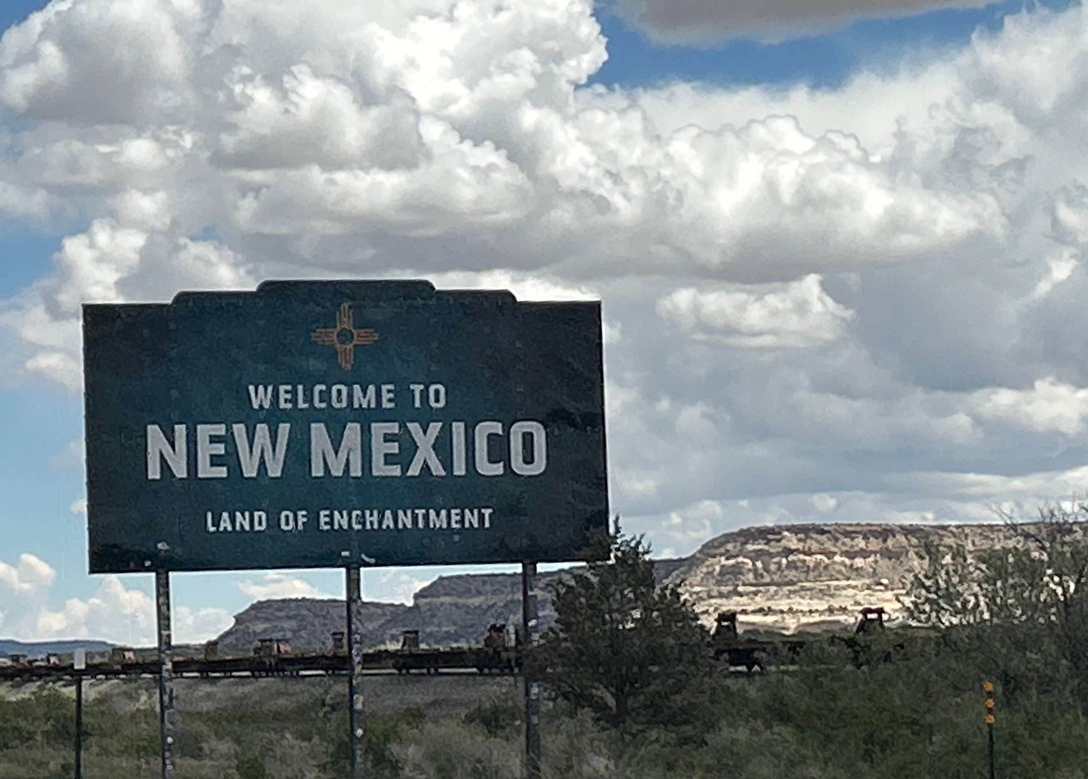
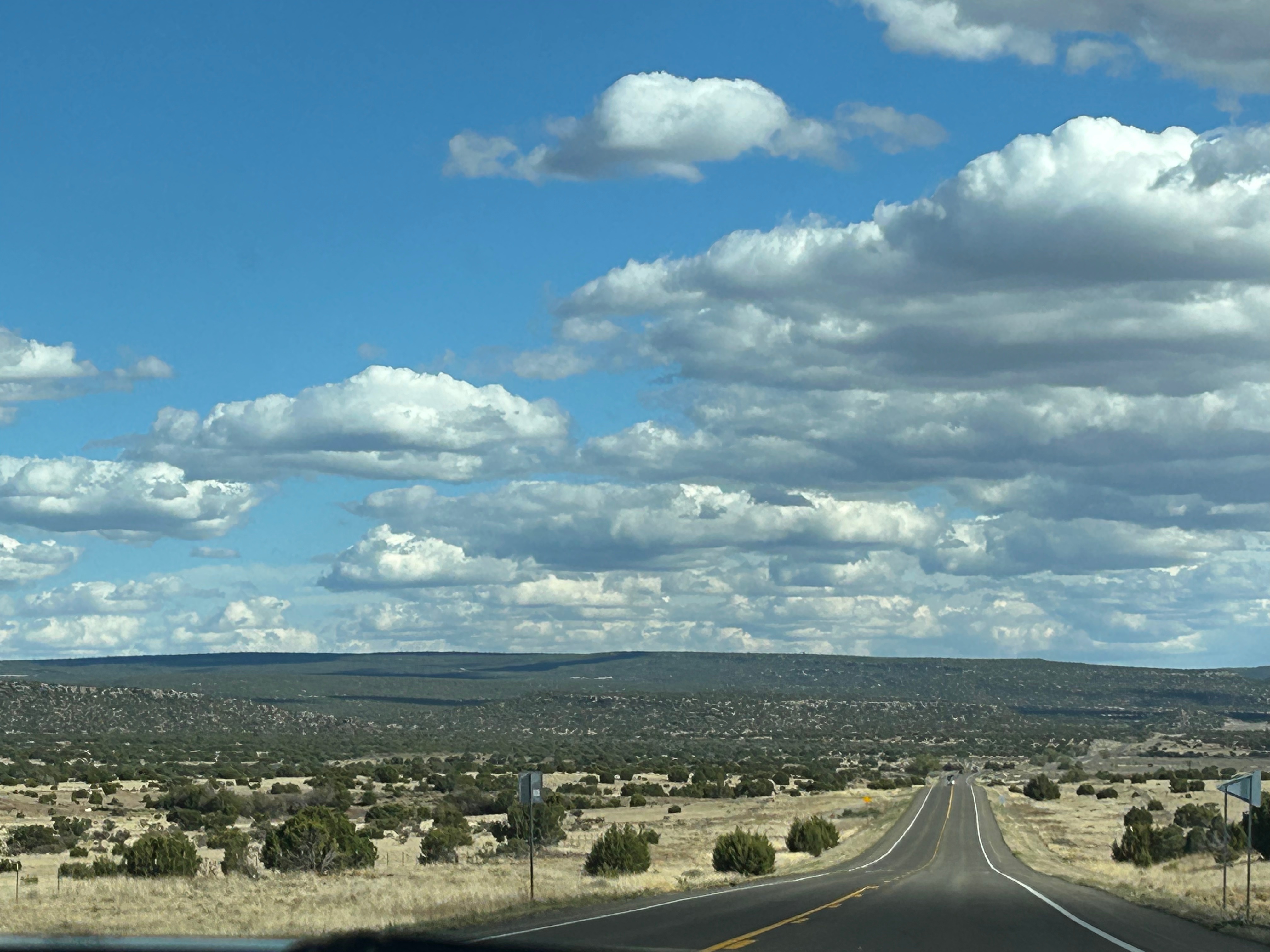
As always, I took delight in not just the land, but also in the trains. I can’t really explain my train fascination, but it’s just somehow magical to watch them wind through the land. As we crossed from Arizona to New Mexico, we once again crossed the Continental Divide of the Americas (aka the Great Divide). We first crossed it in Yellowstone, near Old Faithful. This time we were in Thoreau NM…quite ironic since we were reading Thoreau’s poetry just the night before. Seems like I must take a moment to share one of his poems: “Heaven is under our feet as well as over our heads.” We certainly experienced that truth on this trip.
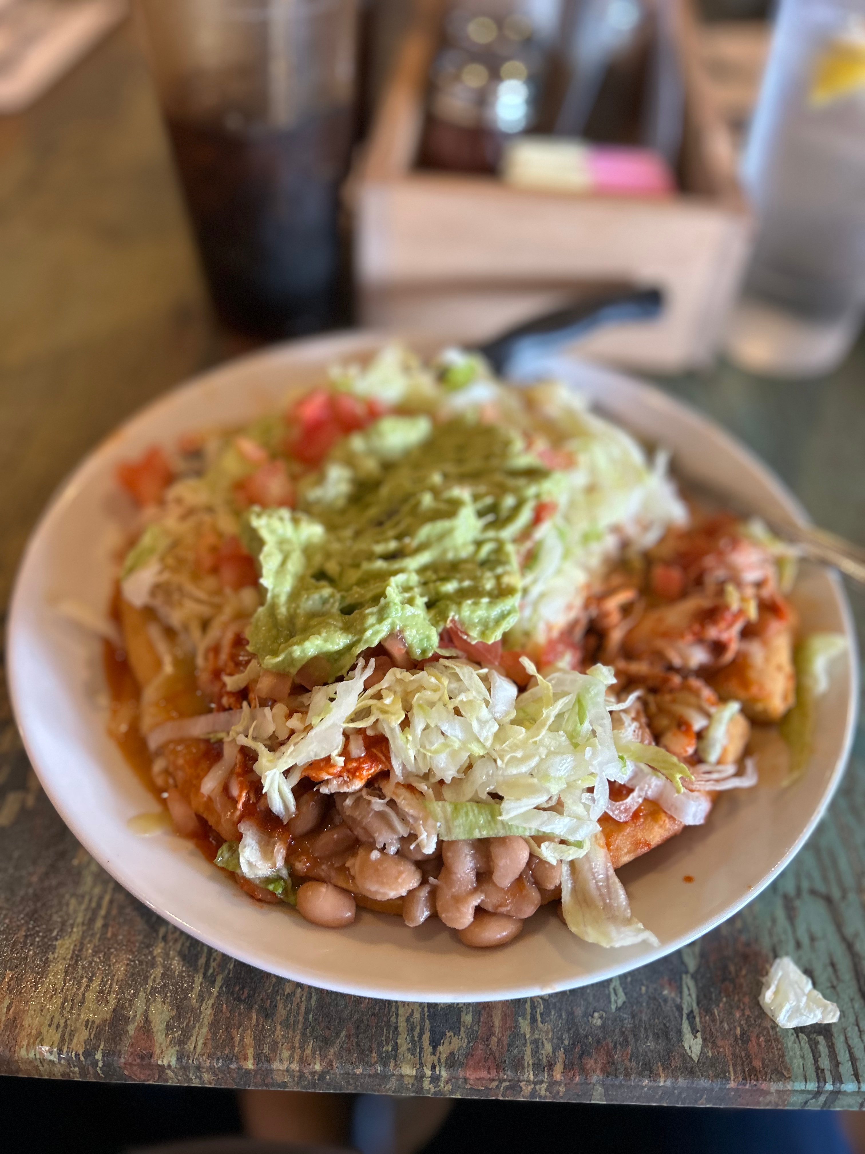
Traveling through New Mexico, we stopped in Santa Fe this time. This stop was so I could see Claudia!! She’s one of those friends that transcend time or location. We’ve been friends since 1995, and she’s one of those people you can never have enough time with. Sadly (for me but great for her), she moved to New Mexico last year. We had a delightful lunch together…with the cherry on top being that the restaurant had those amazing Navajo tacos. Lunch flew by too fast, and soon we had to say our goodbyes. ‘Til next time!
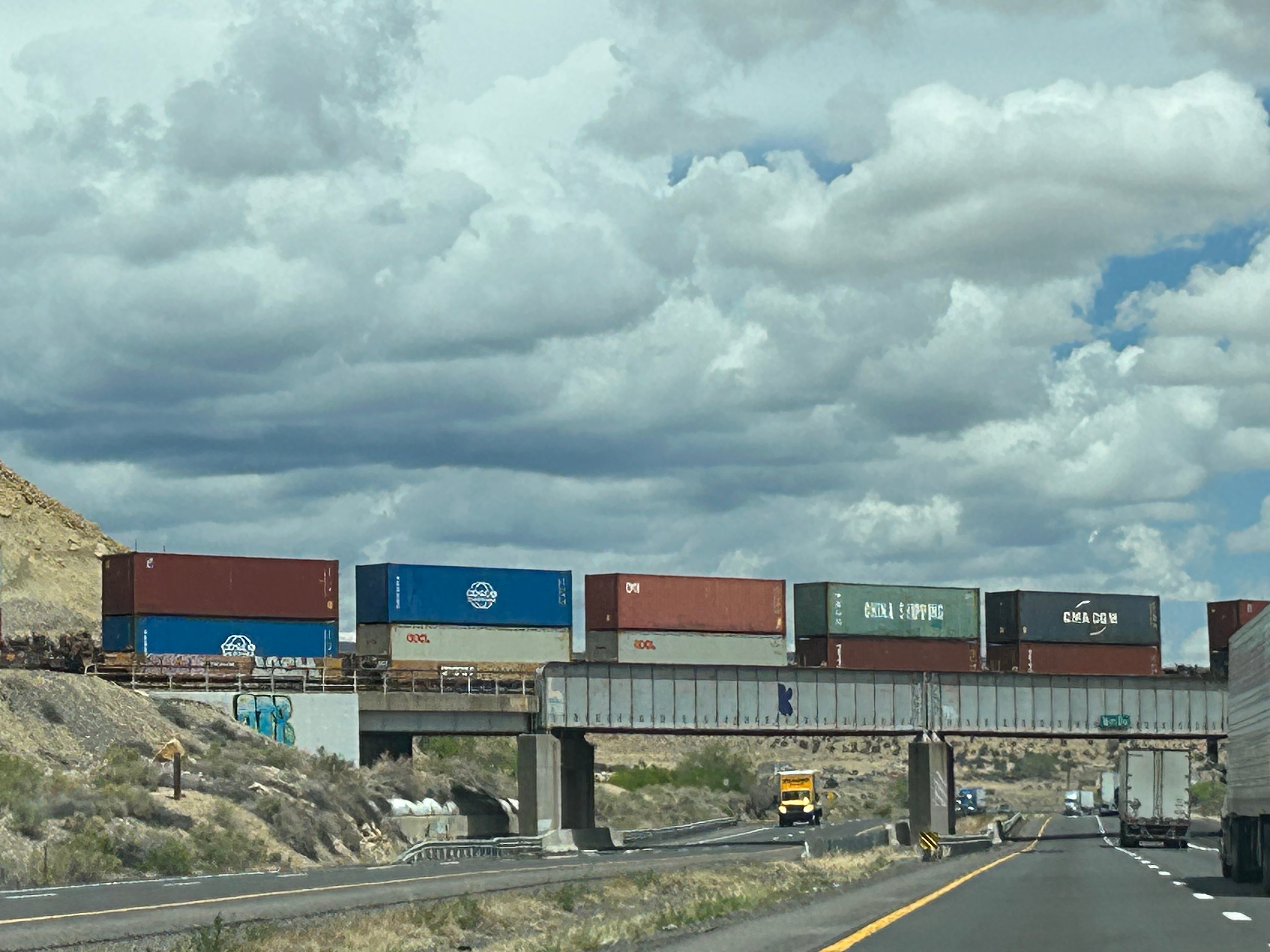
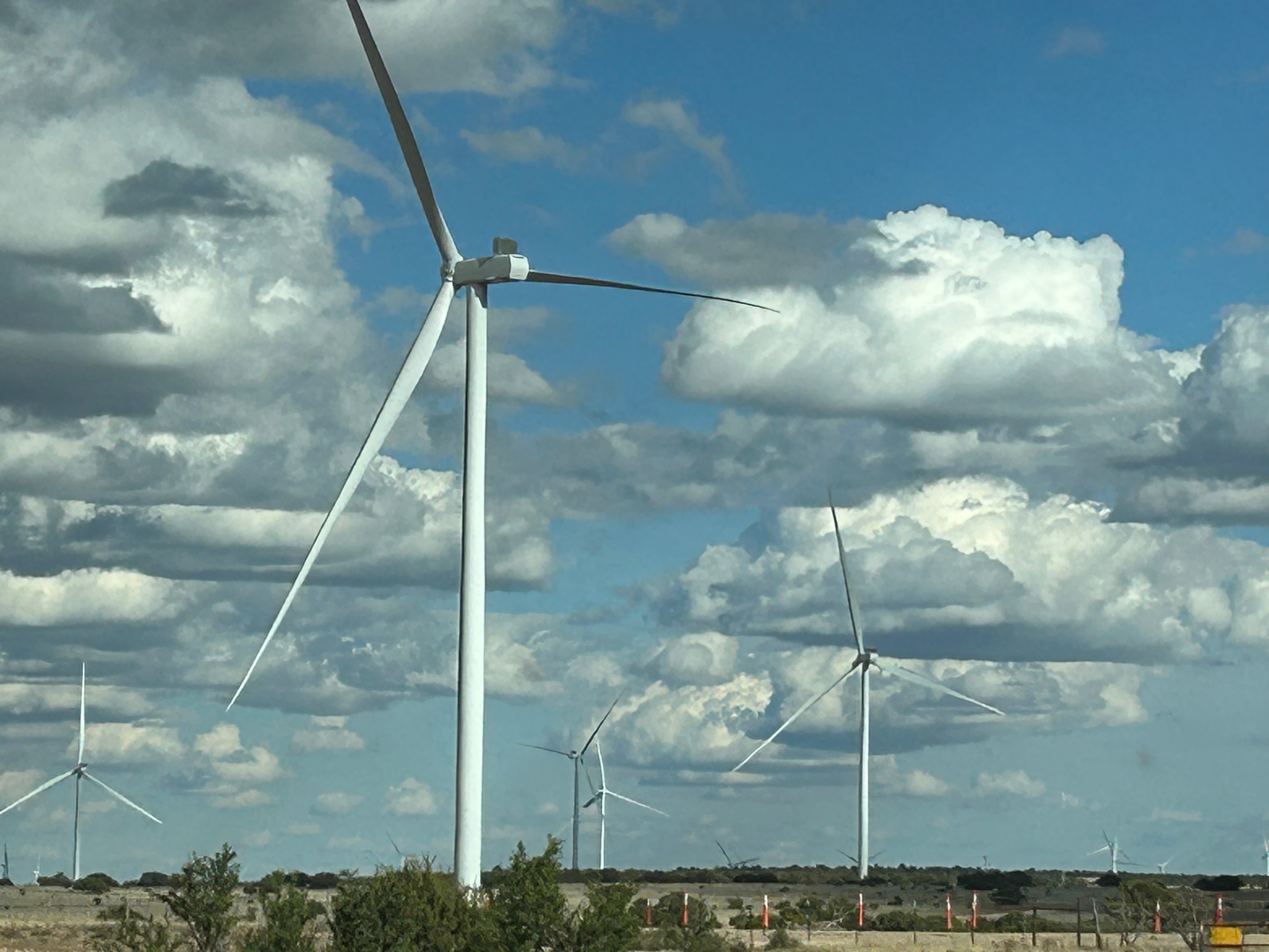
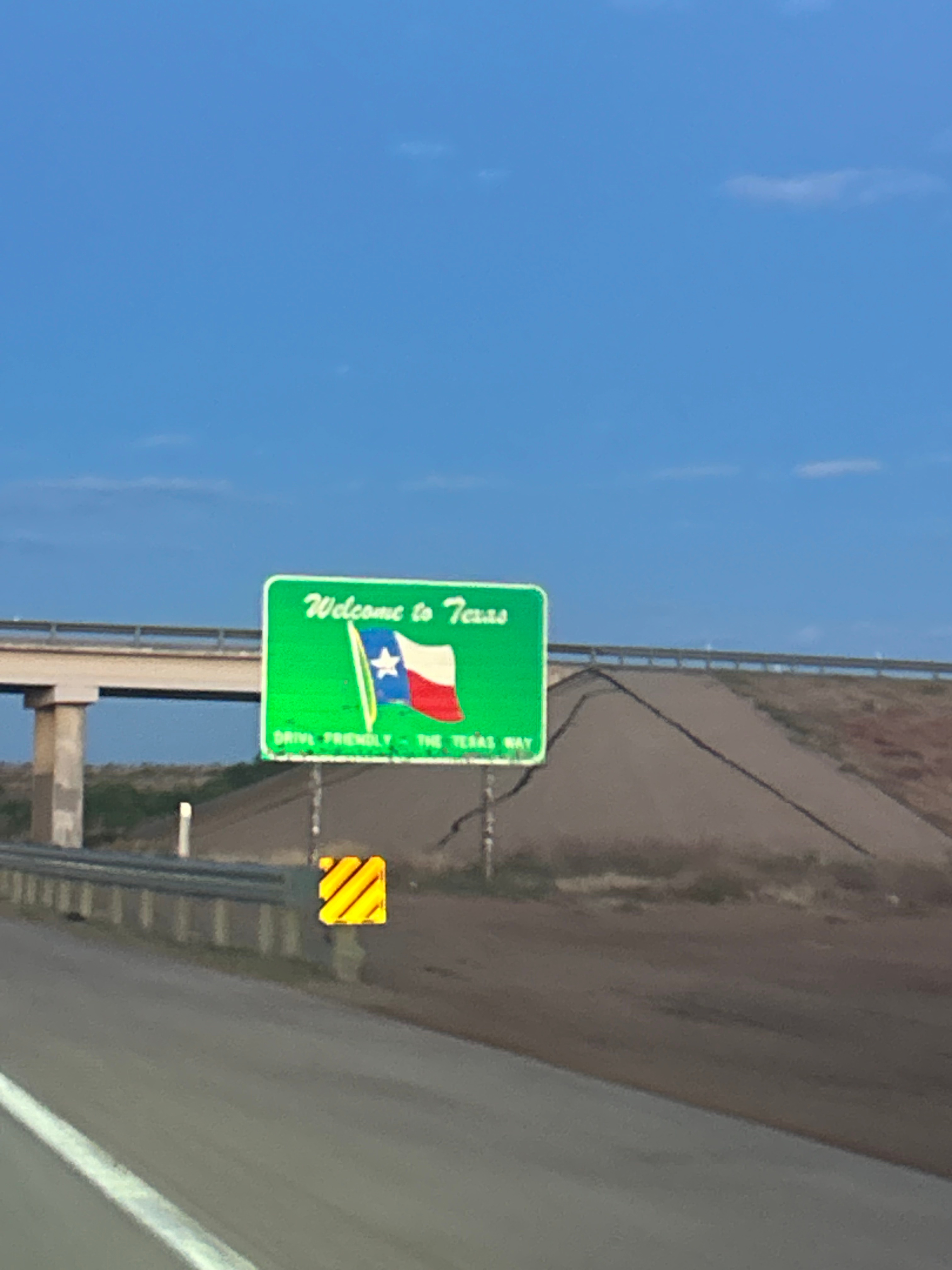
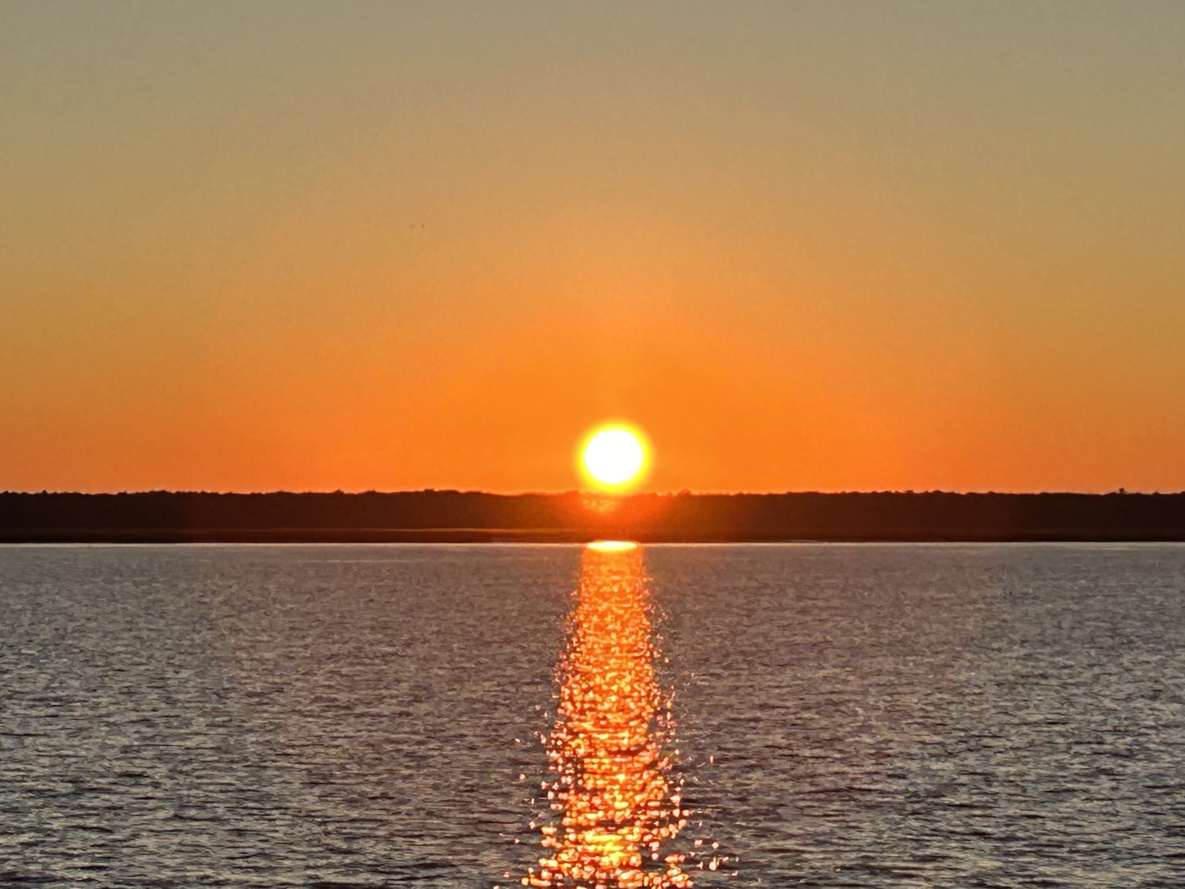
After leaving Route 66 for the interstate, we zipped through the rest of New Mexico, enjoying the last of the unique, desert landscape. Entering Texas, we also entered the land of windmills. Our long lunch meant another night arriving after dark. Thom blessed me with a quick pull-off at sunset just before we entered Texas. After the sunset, we were entertained by the synchronized blinking red lights (as far as the eye could see) of windmill aviation reflection lights. It was a little cool and a little bit spooky.
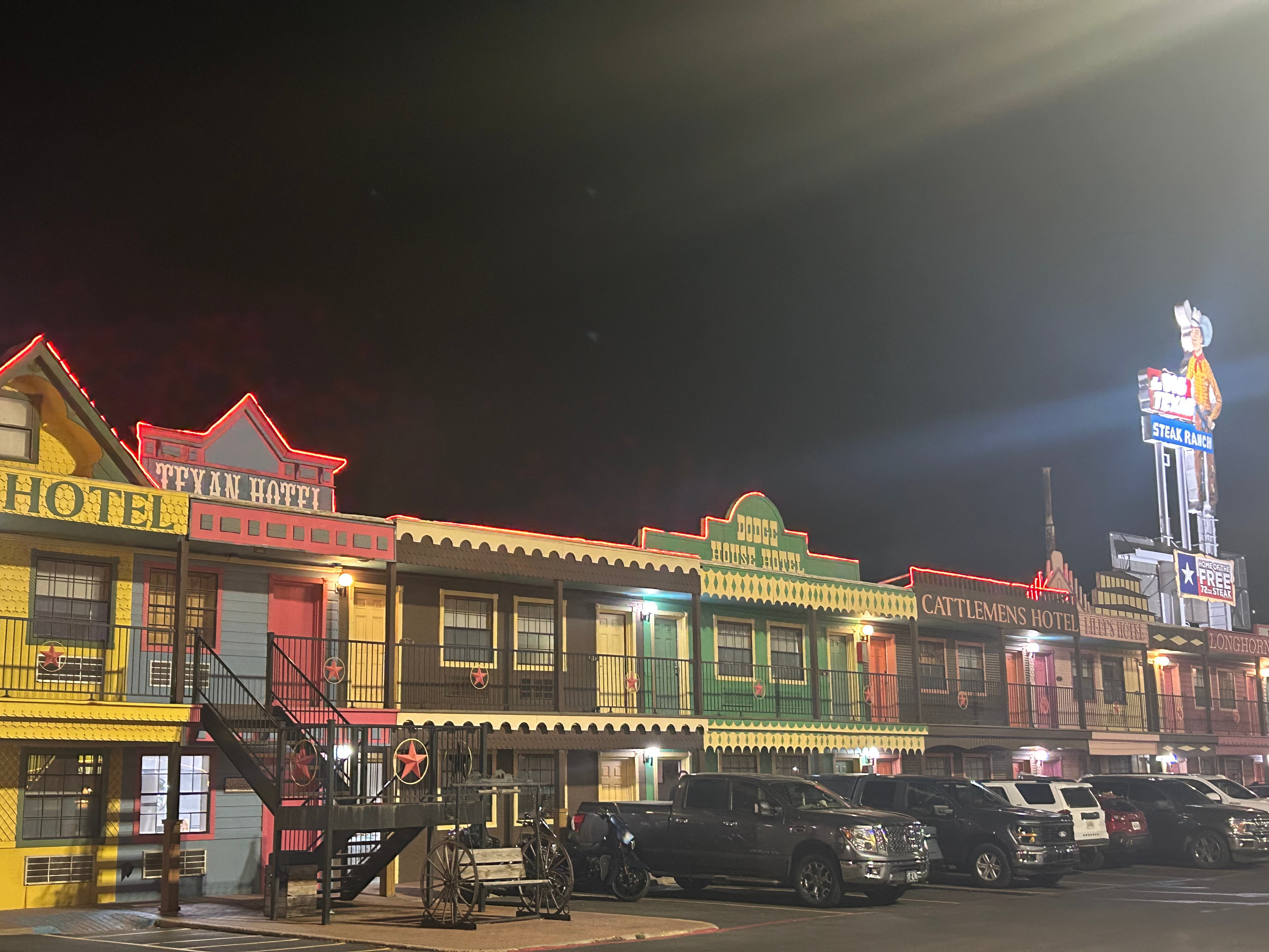
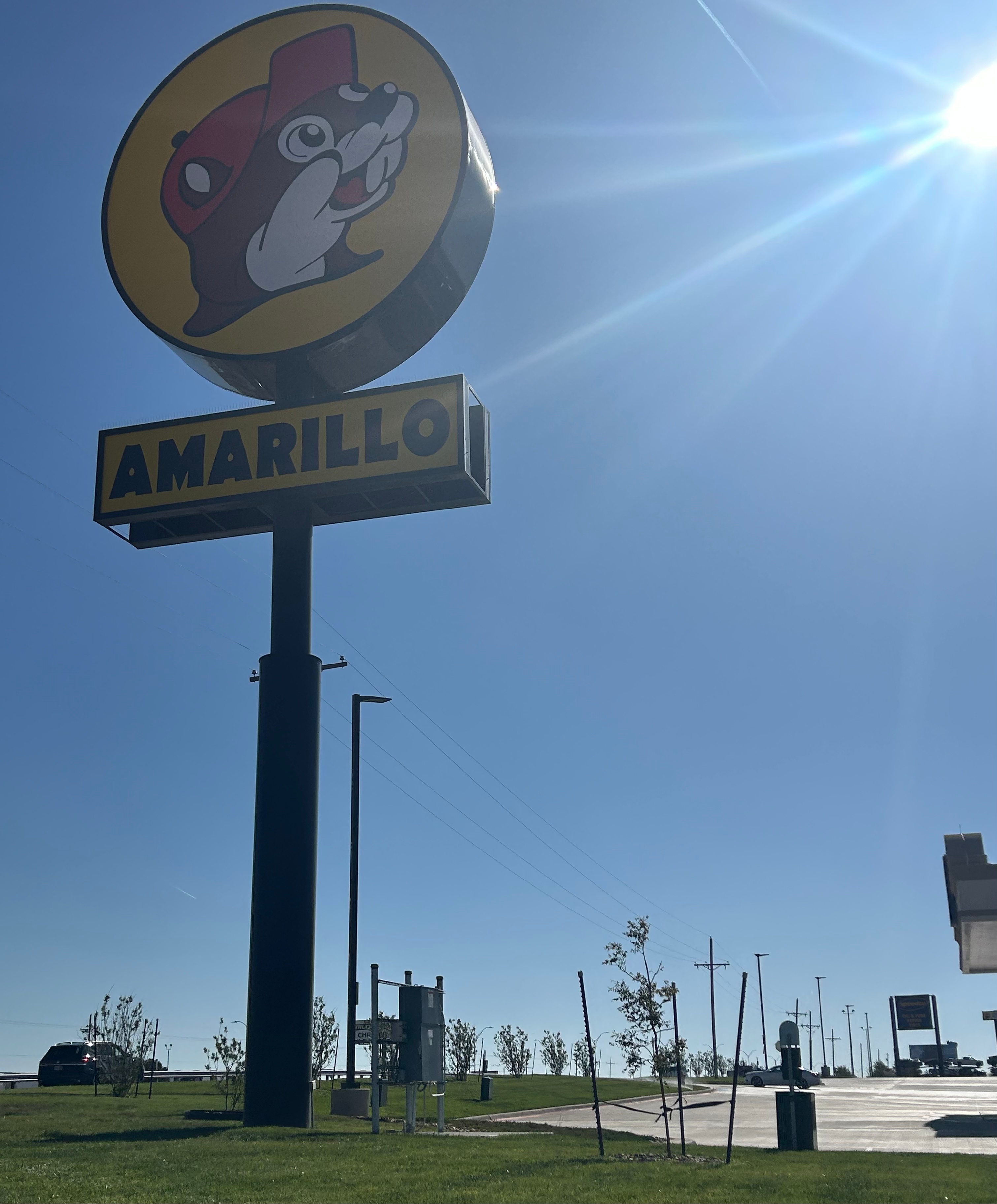
I hate to say that we smelled our next stop as we approached. I don’t know what was going on in Amarillo TX but it smelled awful. It was an oppressive concentration of cow poo smell. We certainly didn’t recall this experience from coming through here before, but that had been during the day (stopping briefly at Cadillac Ranch), so maybe it was a night thing. We thought we had a really fun stop planned, as we were spending the night at the very touristy Big Texan Motel. It turned out to just be a run down old motel with fun paint outside. The old toilet screeched off and on all night, the air conditioner wheezed and rattled, the bed was most-assuredly the lowest price point mattress available in bulk, and we had the soundtrack of semis on I-40 a mere 100 feet from the door. Maybe don’t pick a hotel by it’s fun online appearance.
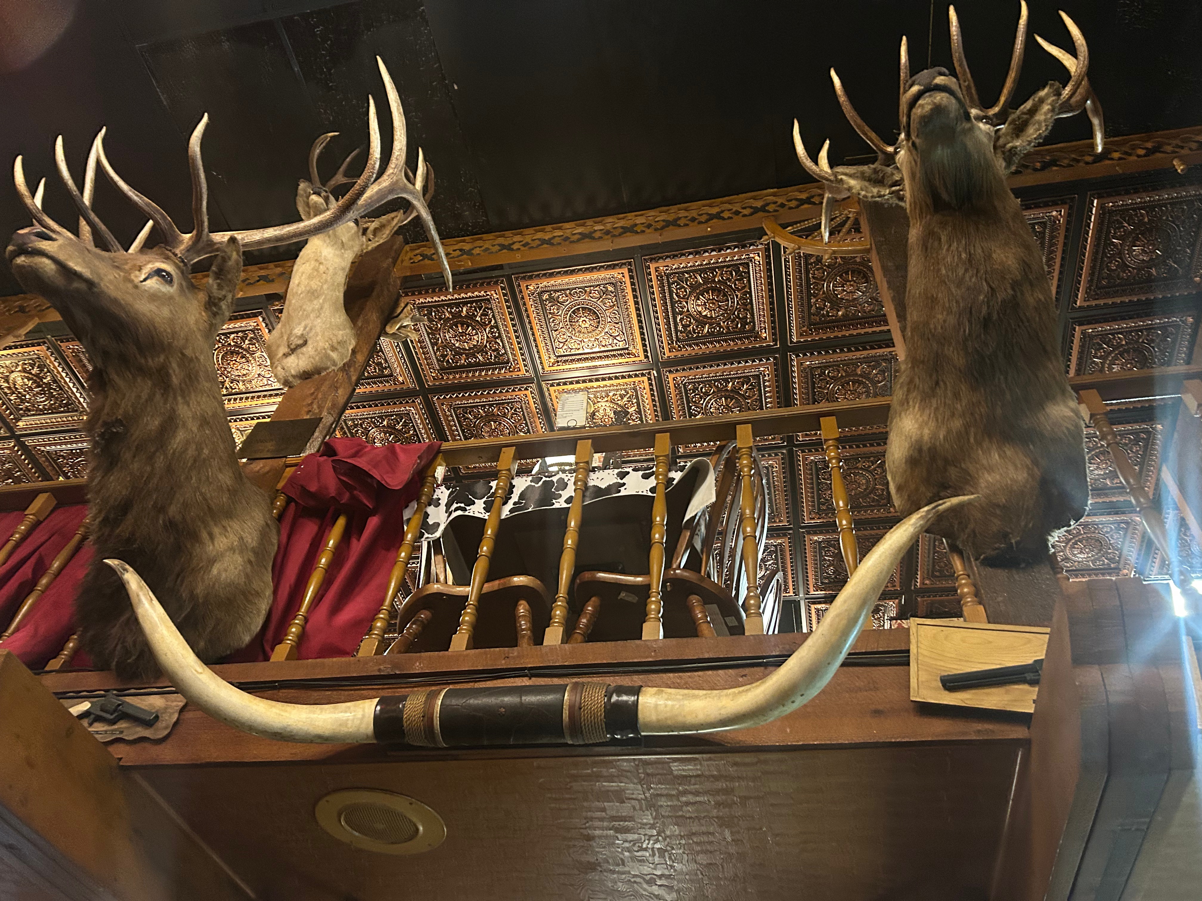
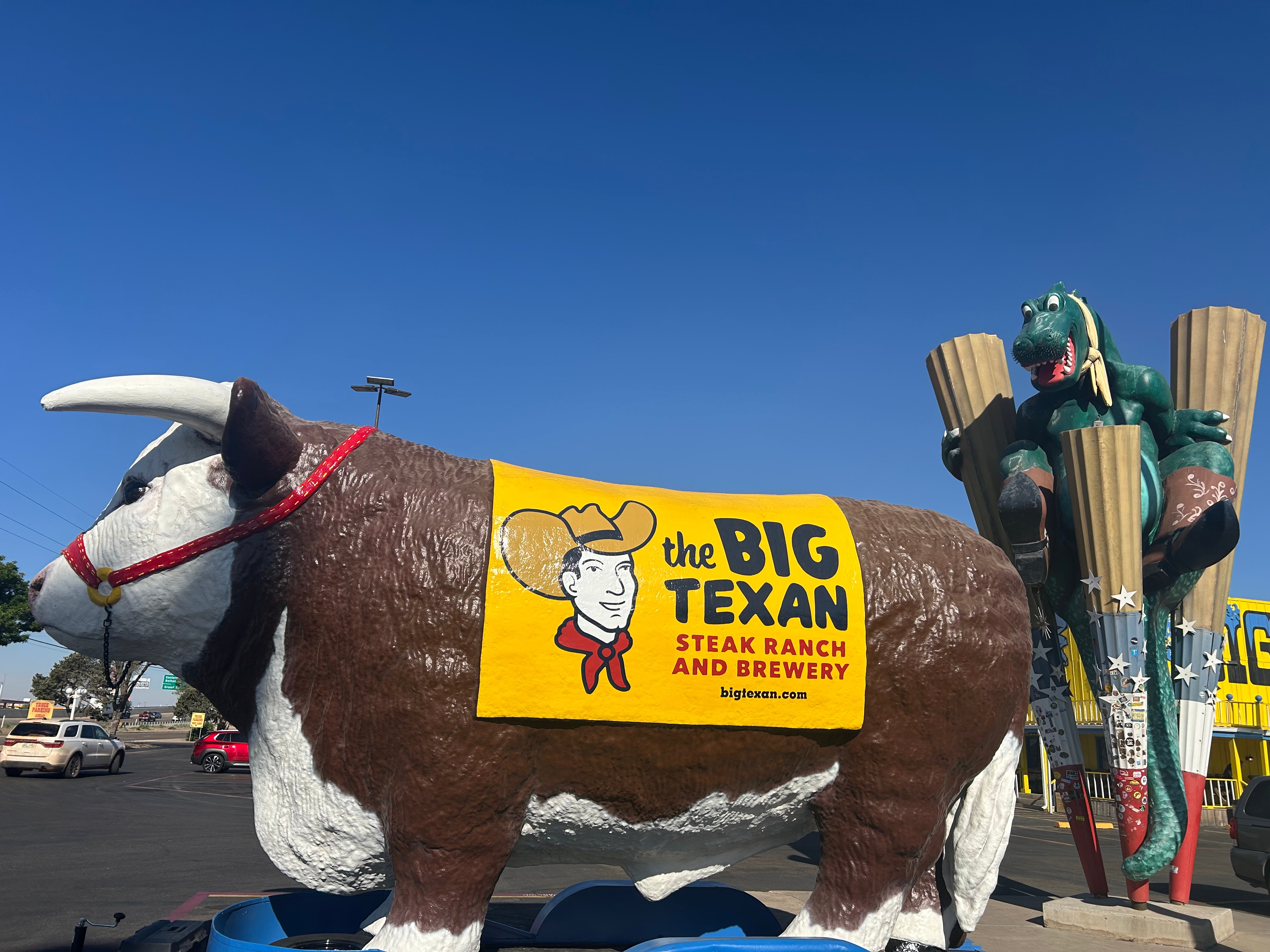
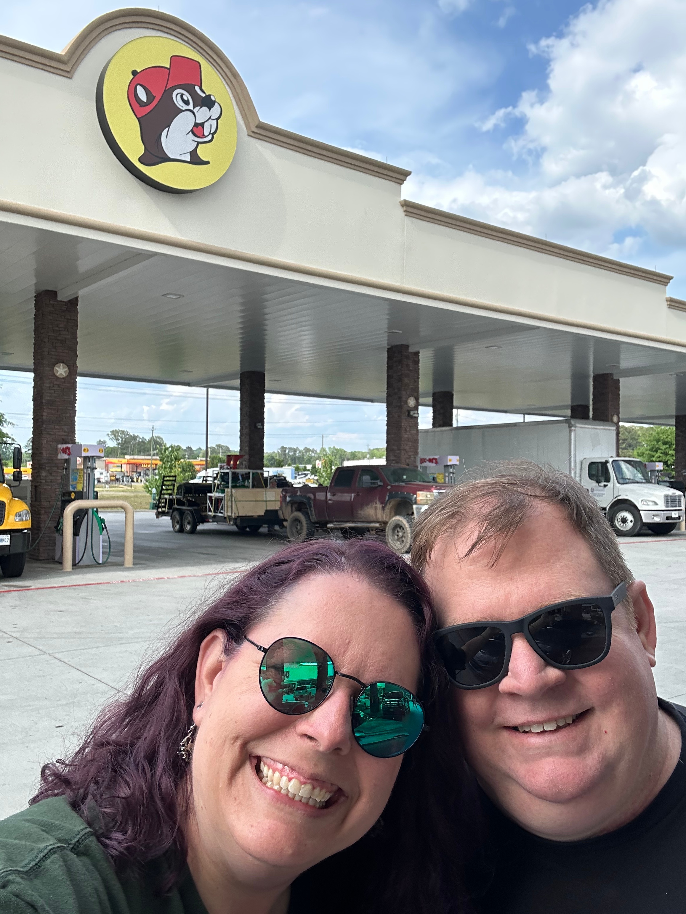
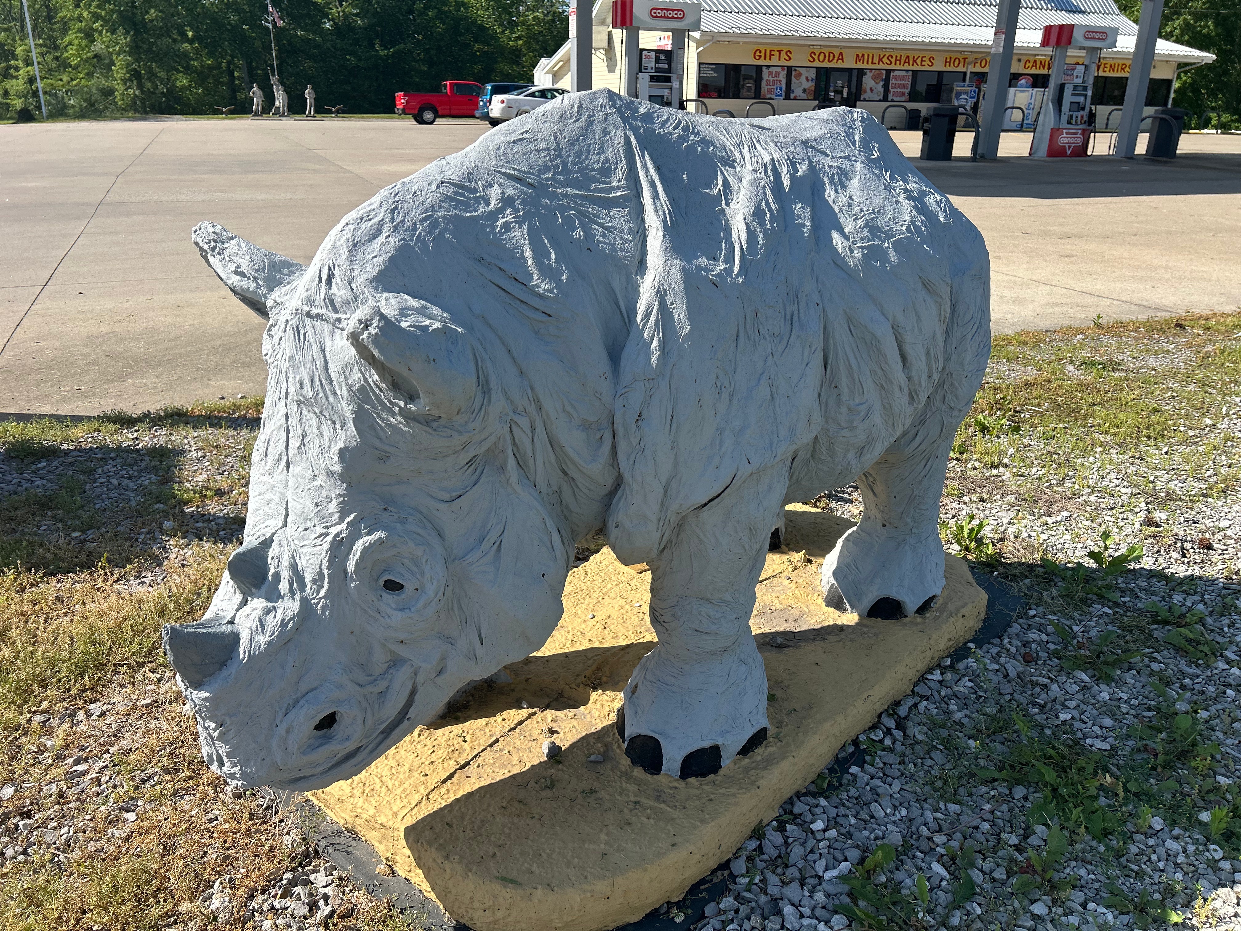
We survived the night but certainly weren’t rested. Breakfast saved things a little as we devoured steak and eggs at the adjoining Big Texan Steak Ranch. That place was wildly themed, much like the outside of the motel. Thom remarked that he felt like we were at the Hoop-Dee-Doo-Revue at Disney. I thought it was quite funny that the theming had guns everywhere and we were in Texas of all places, yet there were several signs stating the no patrons were allowed to carry guns on the property (open or concealed). Well, while we were visiting over-the-top places, we topped off gas at the new-to-us Buc-ee’s Amarillo. Then we high-tailed it out of (the still stinky) town.
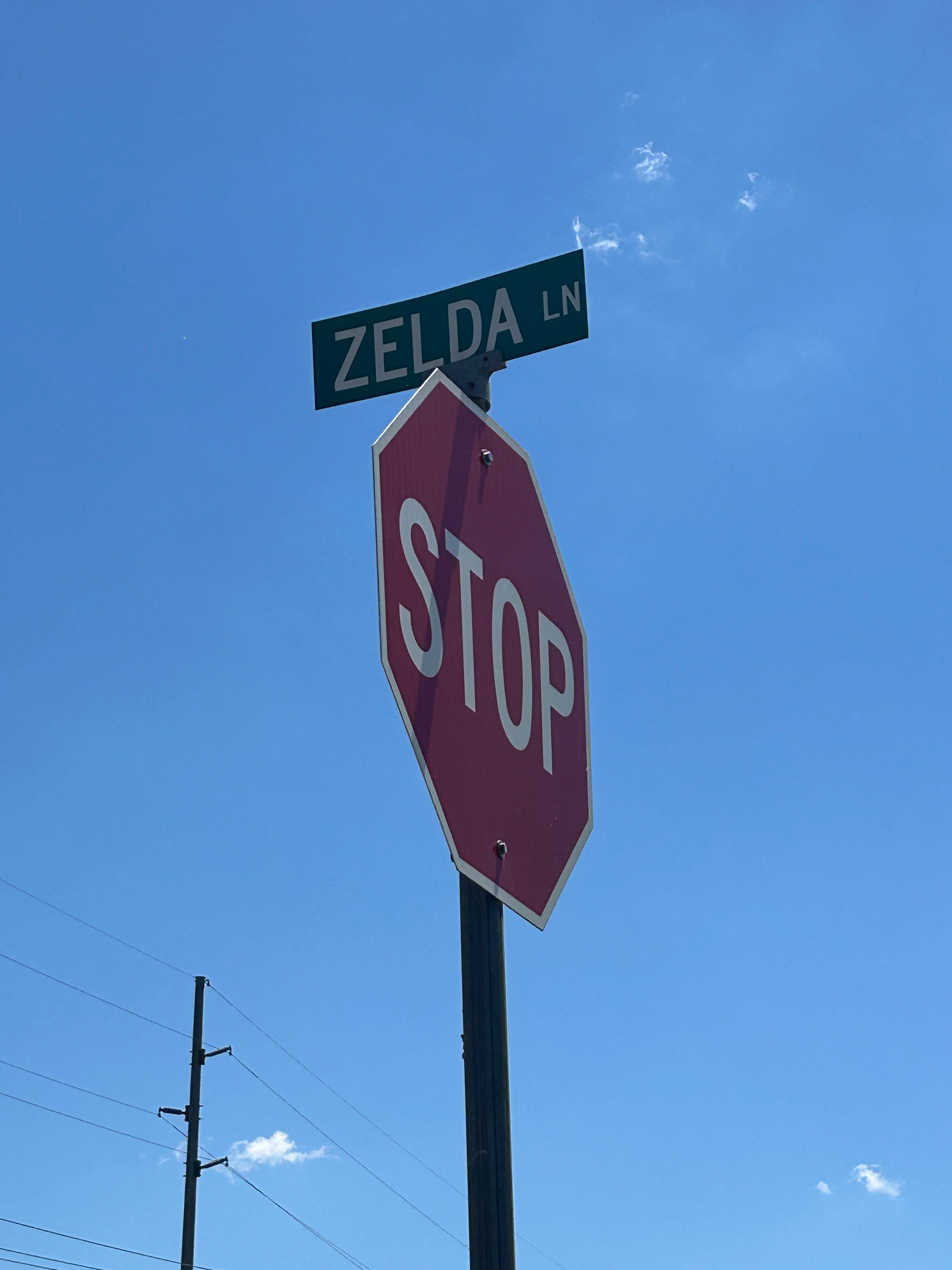
We were set on making time, so Oklahoma only held one real stop for a picnic at Wes Watkins Reservoir. Fun fact, it was near Zelda Lane (but I didn’t find any triforce pieces). It was a beautiful day, and we mostly had the place to ourselves. We didn’t take advantage of the picnic table since it was surrounded by tall grass…but we also needed to stretch our legs anyway.
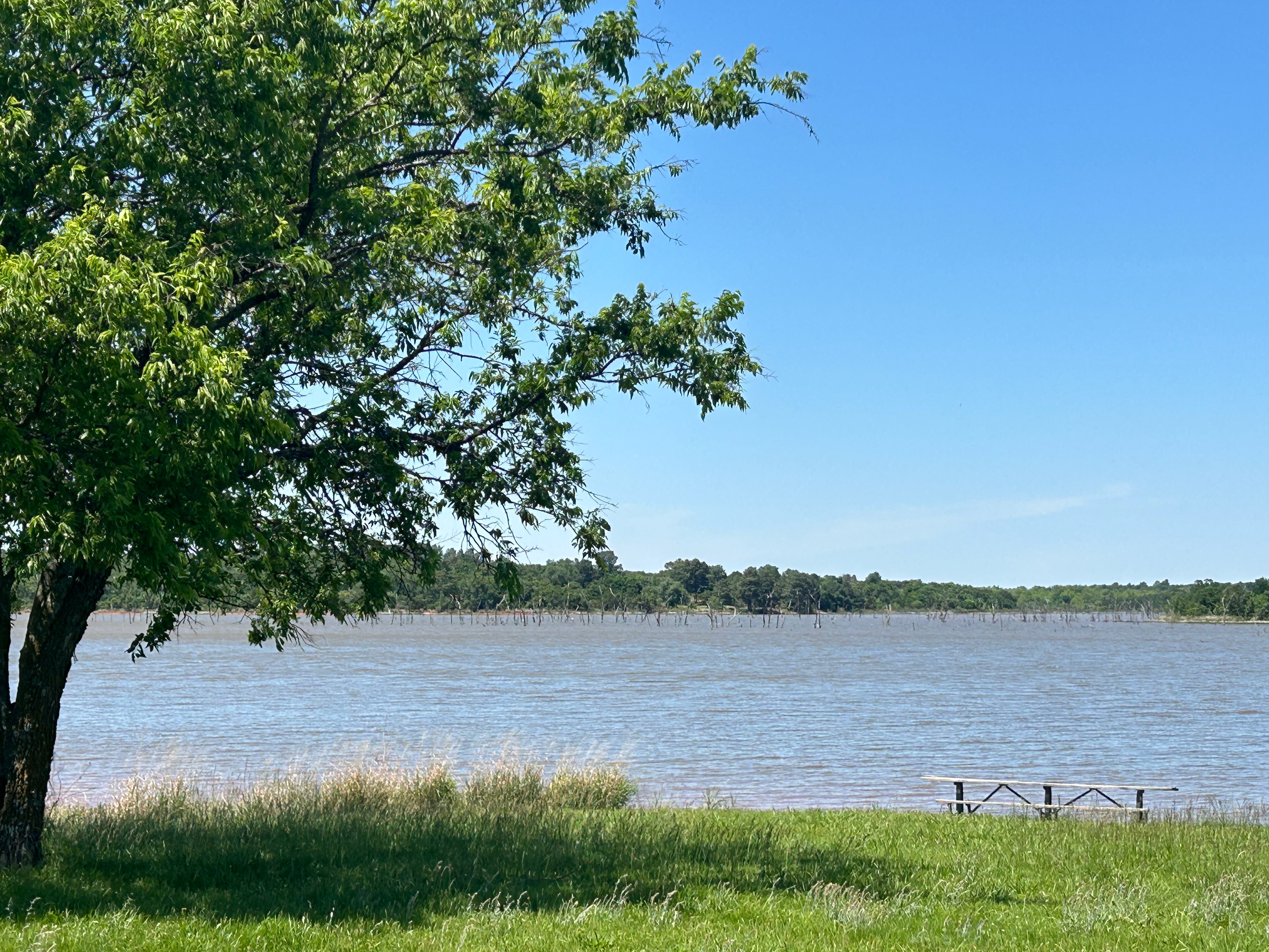
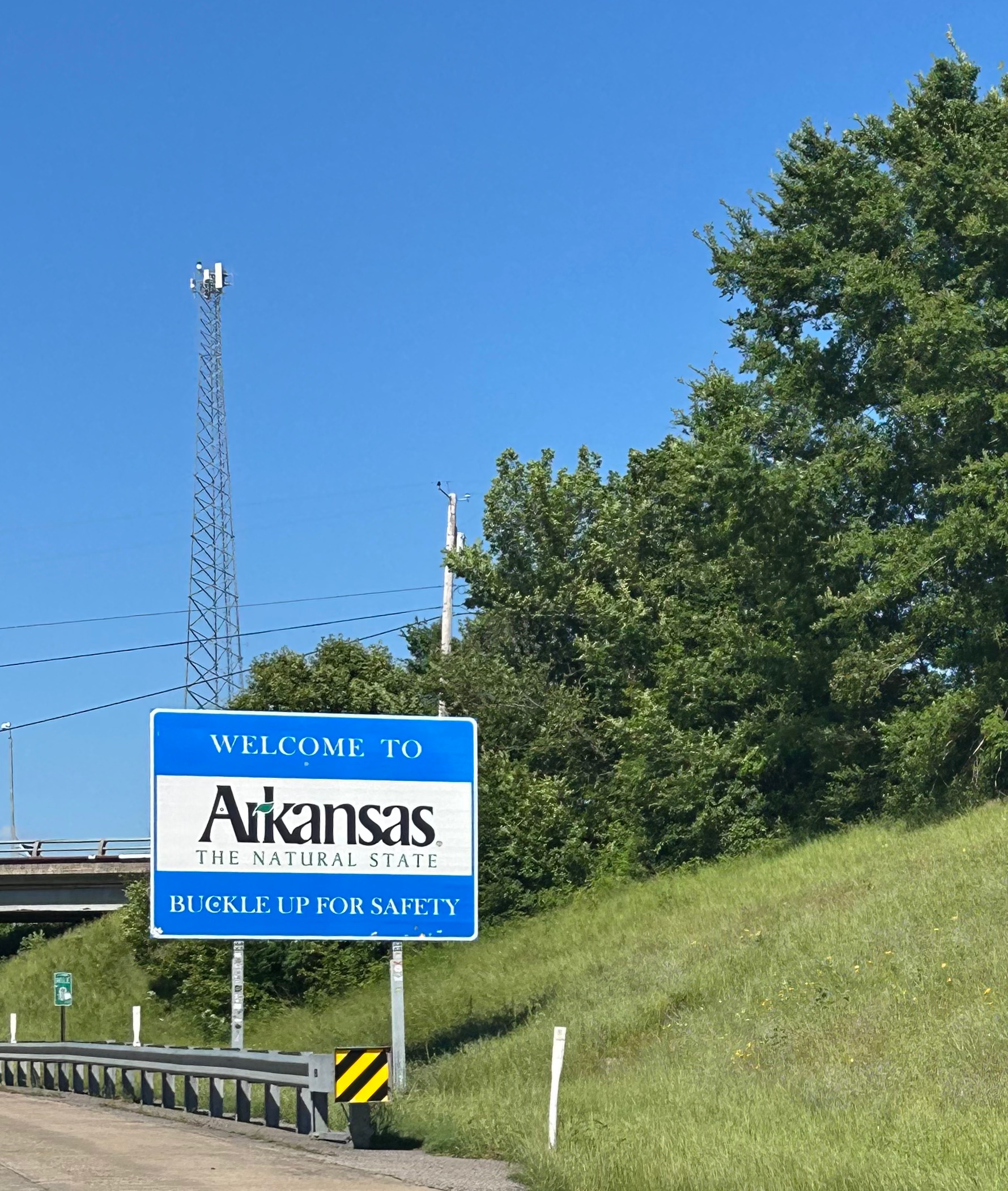
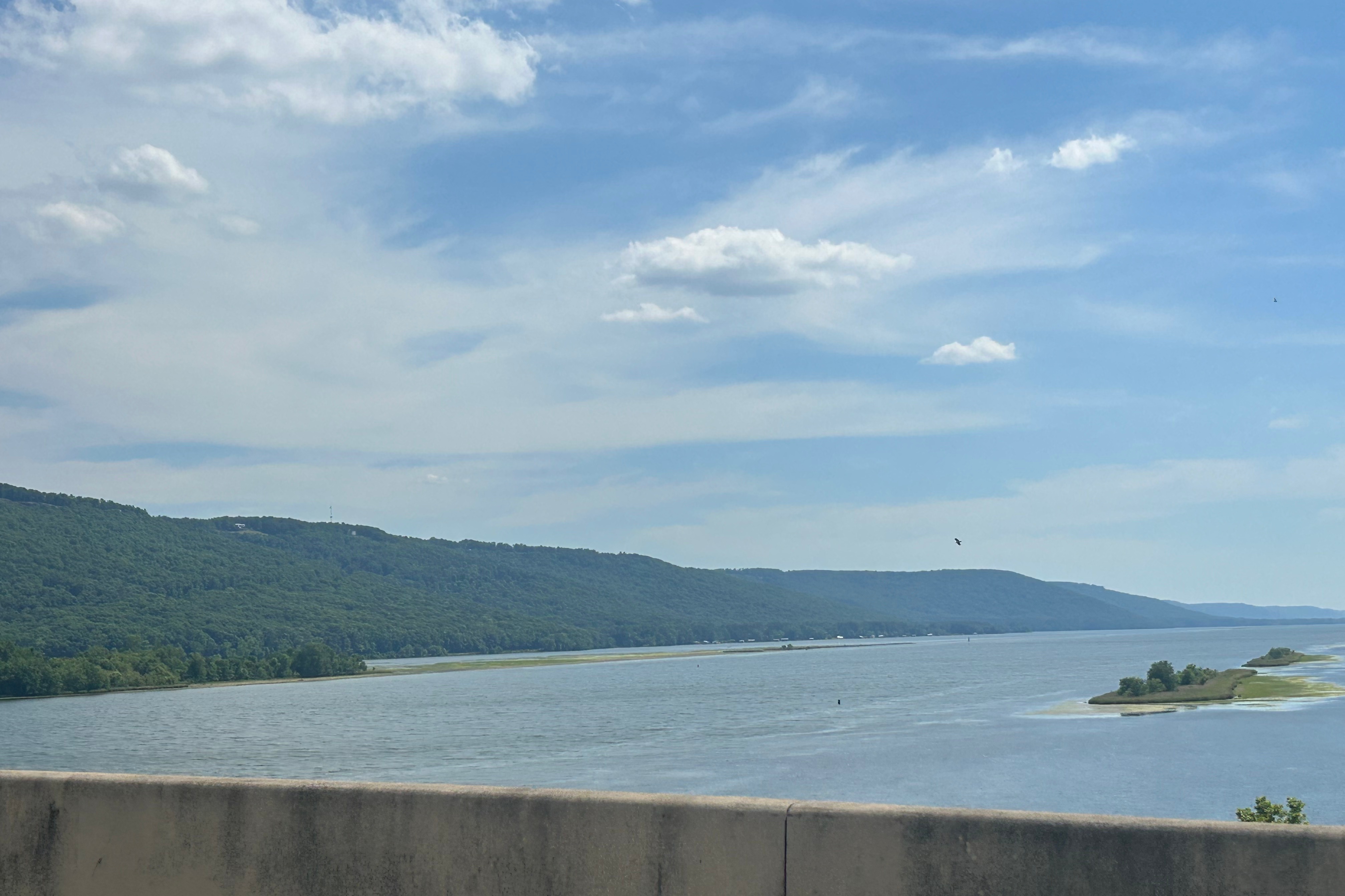
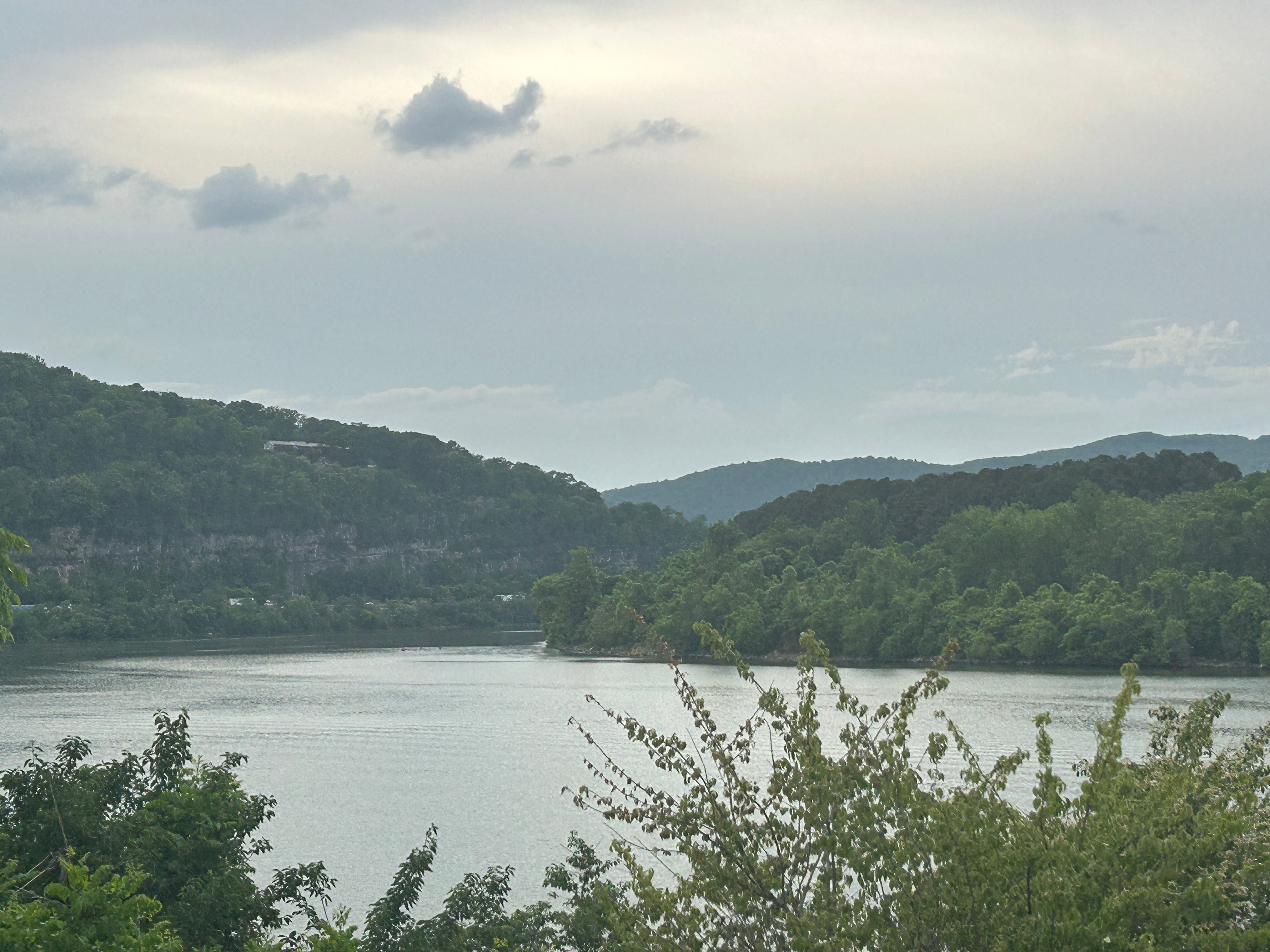
Arkansas was all about making time. We’d had a good drive through the Ozarks last time we drove through, but this time was all about making the miles home. It’s a pretty flat landscape along the interstate, but I did enjoy the view going over Lake Dardanelle.
Our last hotel stay was supposed to be an upscale, nice last night on the road. Well, I believe the pictures of this place were from a decade ago and under a different owner. The Hu Hotel in Memphis was a worn out, dirty, disappointing stay. The on-site $22 parking was not on-site and was $37. The $10 breakfast was the typical hotel chain breakfast (that comes free in the typical hotel). The free drink was somehow no good. The rooftop was dirty and tattered…but the nighttime view was nice at least. The best I can say about this stay is that the staff was friendly and the bed was comfortable. It was just such a bummer to end on this note. Should’ve stayed at the Peabody…
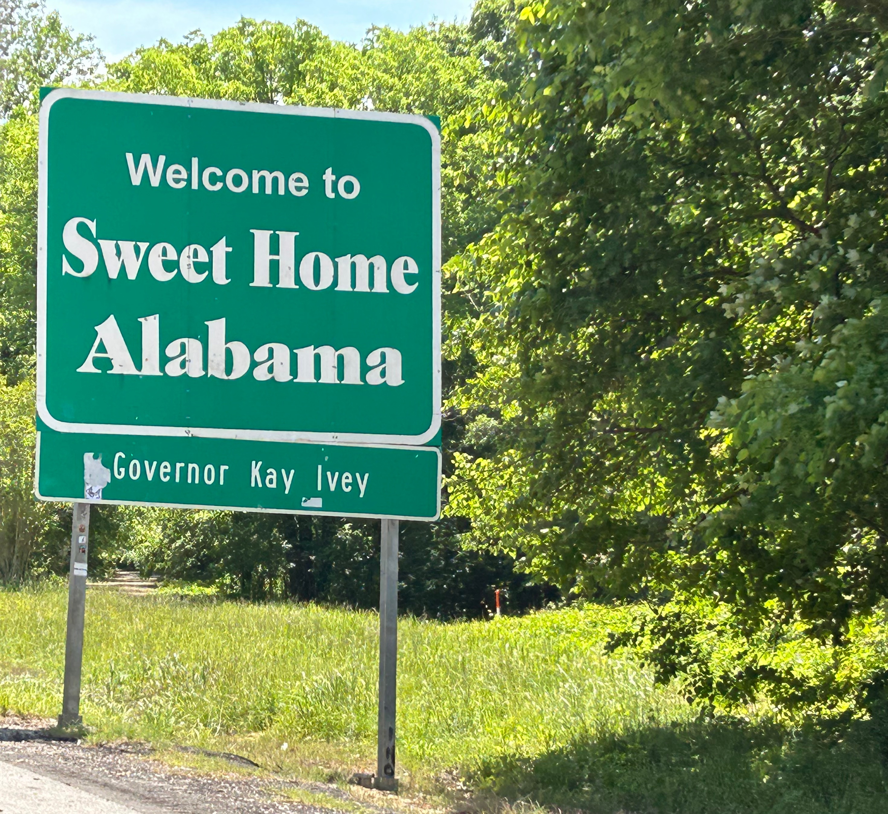
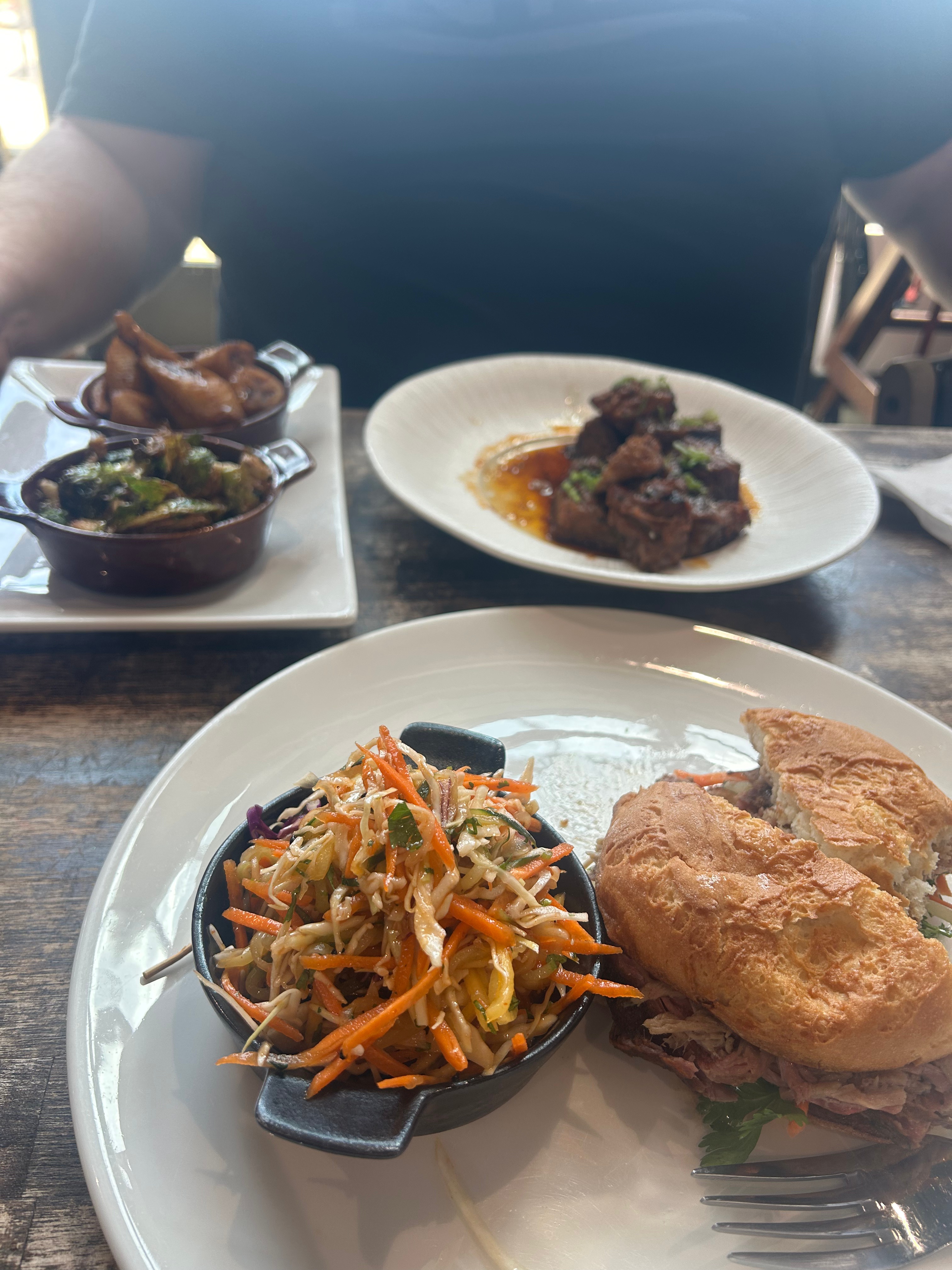
Our last stretch home was a southern-style scenic drive. The blue skies in Tennessee reminded us of the classic skies of Montana and Oklahoma. The lush greenery through Mississippi was a stark contrast to the rocky landscape out west. As we crisscrossed the Tennessee River in Alabama, we were reminded of the other big rivers we crossed on the trip (particularly the Ohio, Mississippi, Yellowstone, & Colorado). We did have an amazing last meal in Alabama at a Michelin recommended BBQ restaurant called Salt Smokehouse. It was simply amazing! And last, but definitely not least, we felt at home seeing those rolling Georgia hills and roads that hinted at our memories of the stunning mountains and roads we experienced during the trip. While we spent many days and nights remarking that we could envision just staying wherever we were, it is certainly true that there is no place like home.
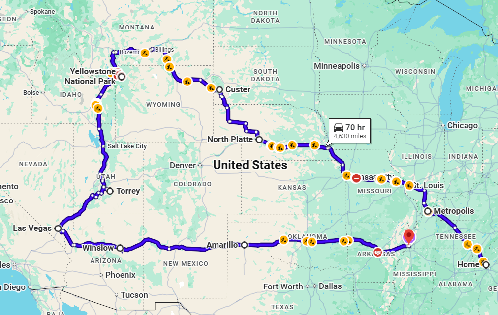
It’s almost hard to fathom that in our 10 (plus a little) days, we traveled through 21 states, all four continental time zones (plus the nonsense time stuff in AZ), 9 national parks/monuments, 85 hours of drive time, and over 5200 miles. We experienced so much on this trip: temperature extremes from icy mountain roads to dangerously hot desert trails, valleys and mountains and caves and all the in-betweens, tornado warnings to snow showers to blue skies, the only super volcano on land (that also features hundreds of geysers), the highest concentration of hoodoos in any one place, a modern marvel of sound and visual technology (paired with an amazing concert), and last but certainly not least…an amazing time together with the love of my life.
I can never find a good ending when writing about a journey like this. So, instead, I’ll just quote Rocky: “Amaze Amaze Amaze!!!”
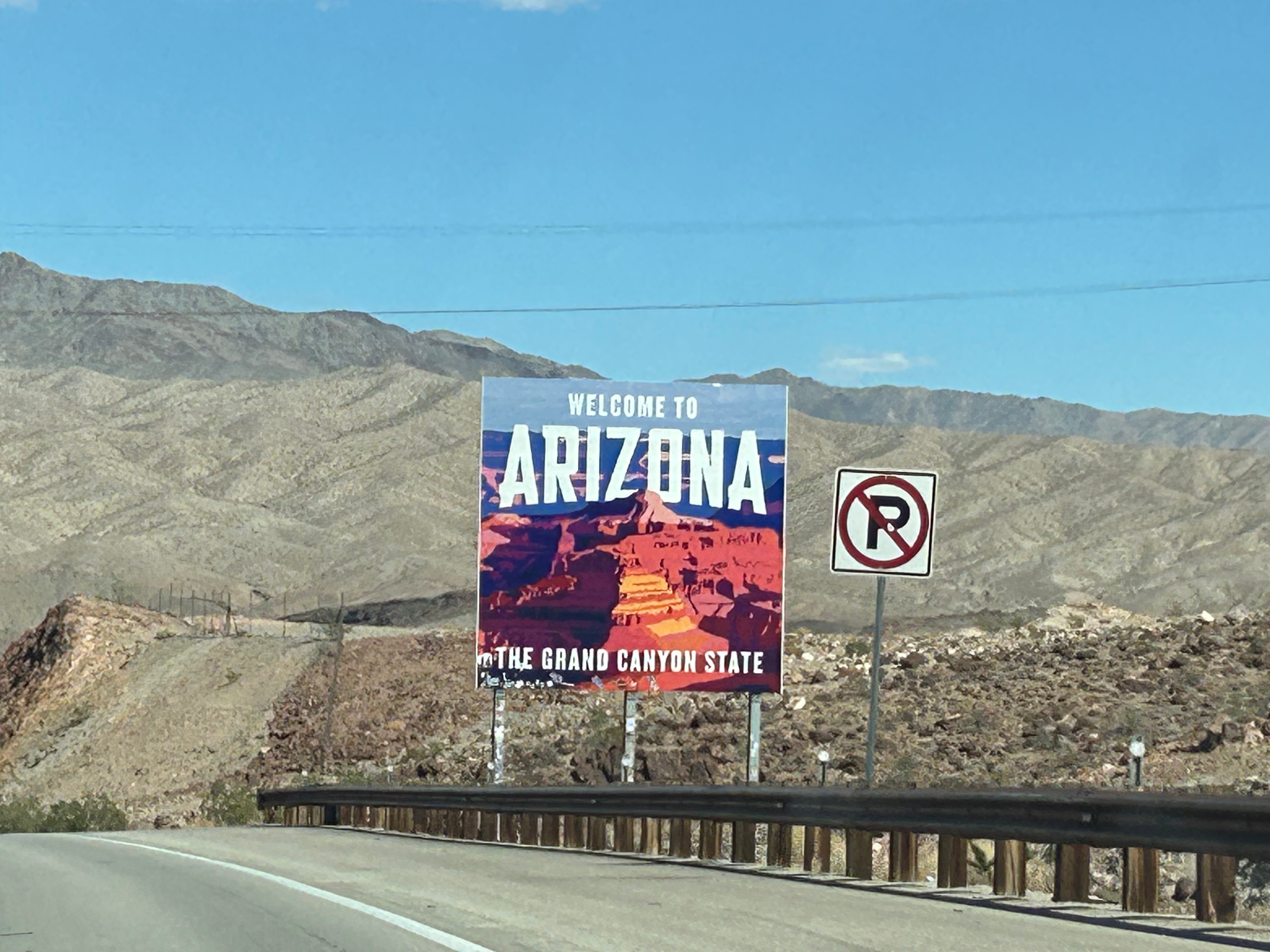
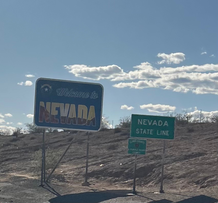
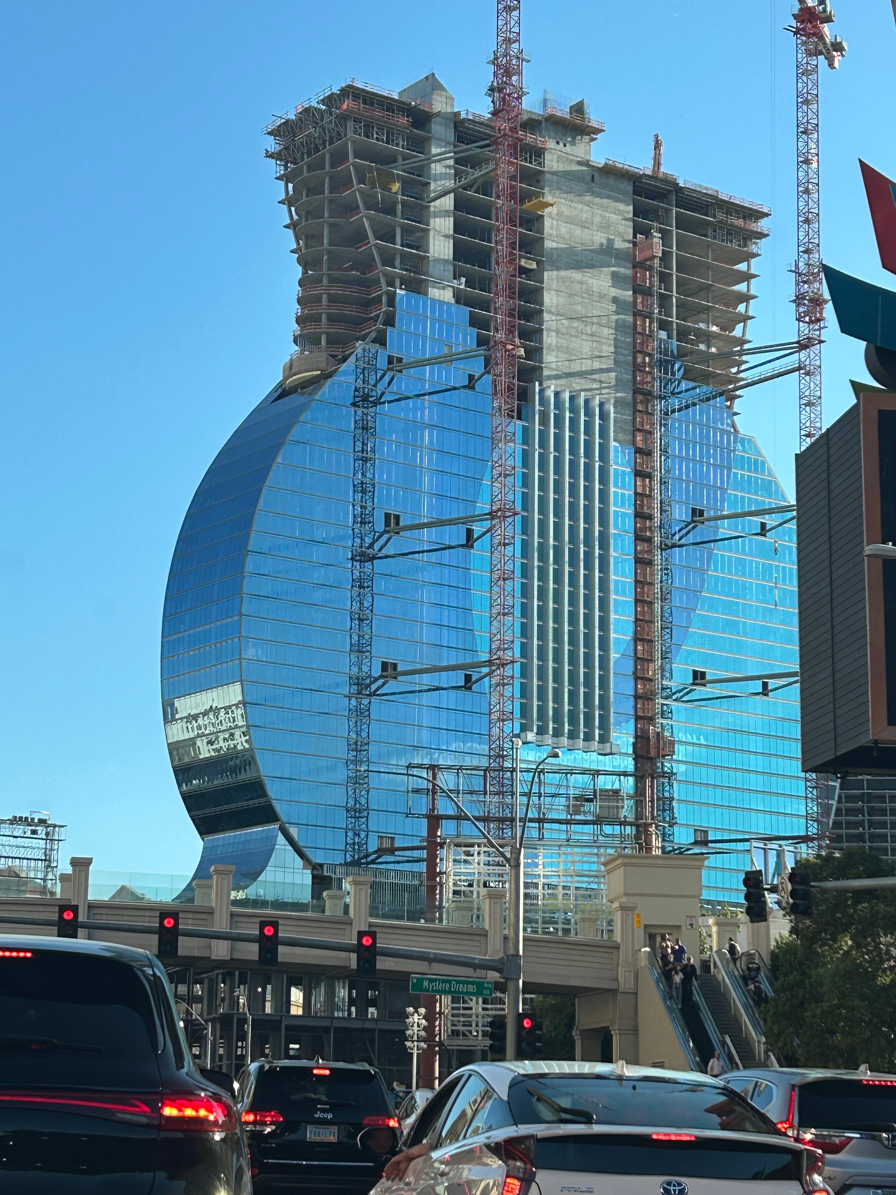
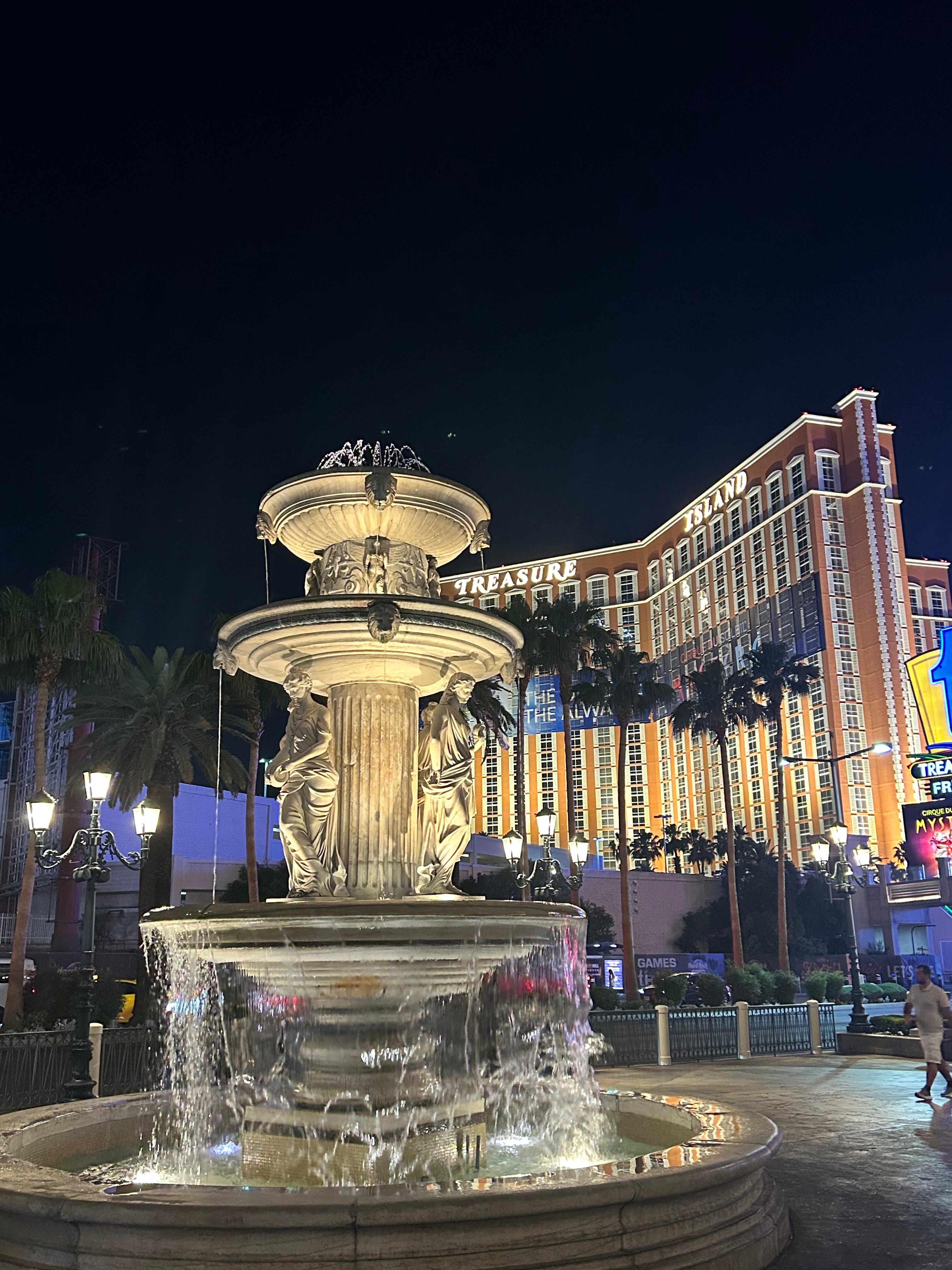
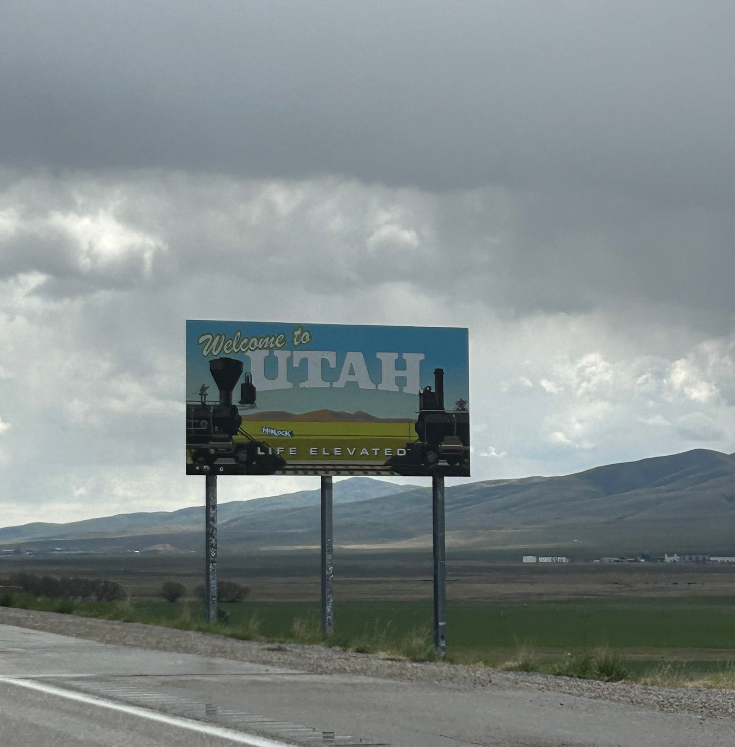
After an amazing day in Utah, we made a brief dip through Arizona before officially entering Nevada. We were somehow shocked to discover that we went back another hour into Pacific time, so the day was getting longer! The beautiful views continued into the state, but we also saw some unusual man-made views. We passed a field with hundreds of silver metal triangles packed side by side. I tried to do some quick internet research, but that just plopped me into a wild rabbithole of alien conspiracy triangle lore. Sometimes things should just stay a mystery! As we rolled into Vegas, we saw the new Hard Rock Hotel under construction; looks like it will be super cool once complete. Driving onto the strip and finding the right entrance was quite challenging.
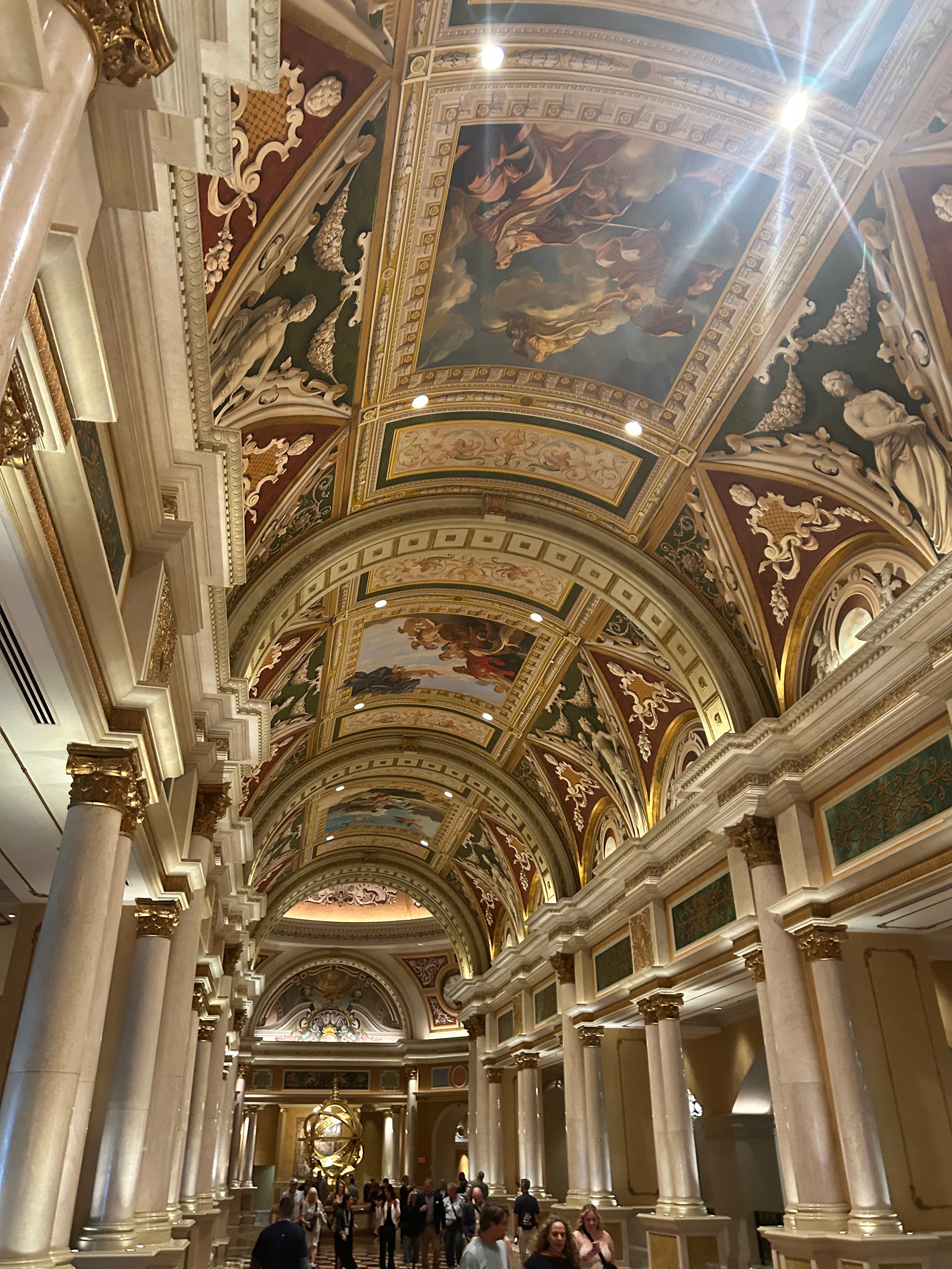
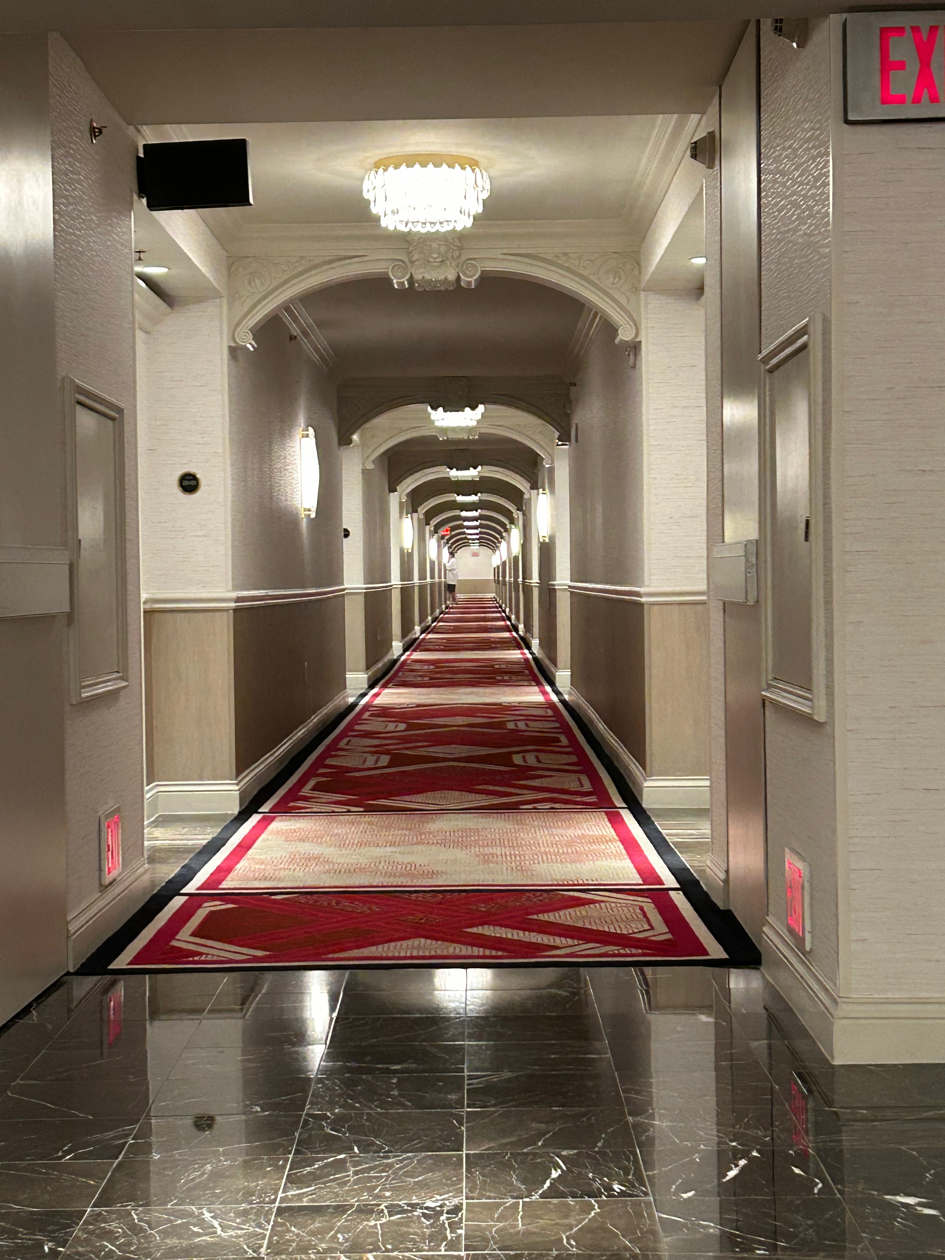
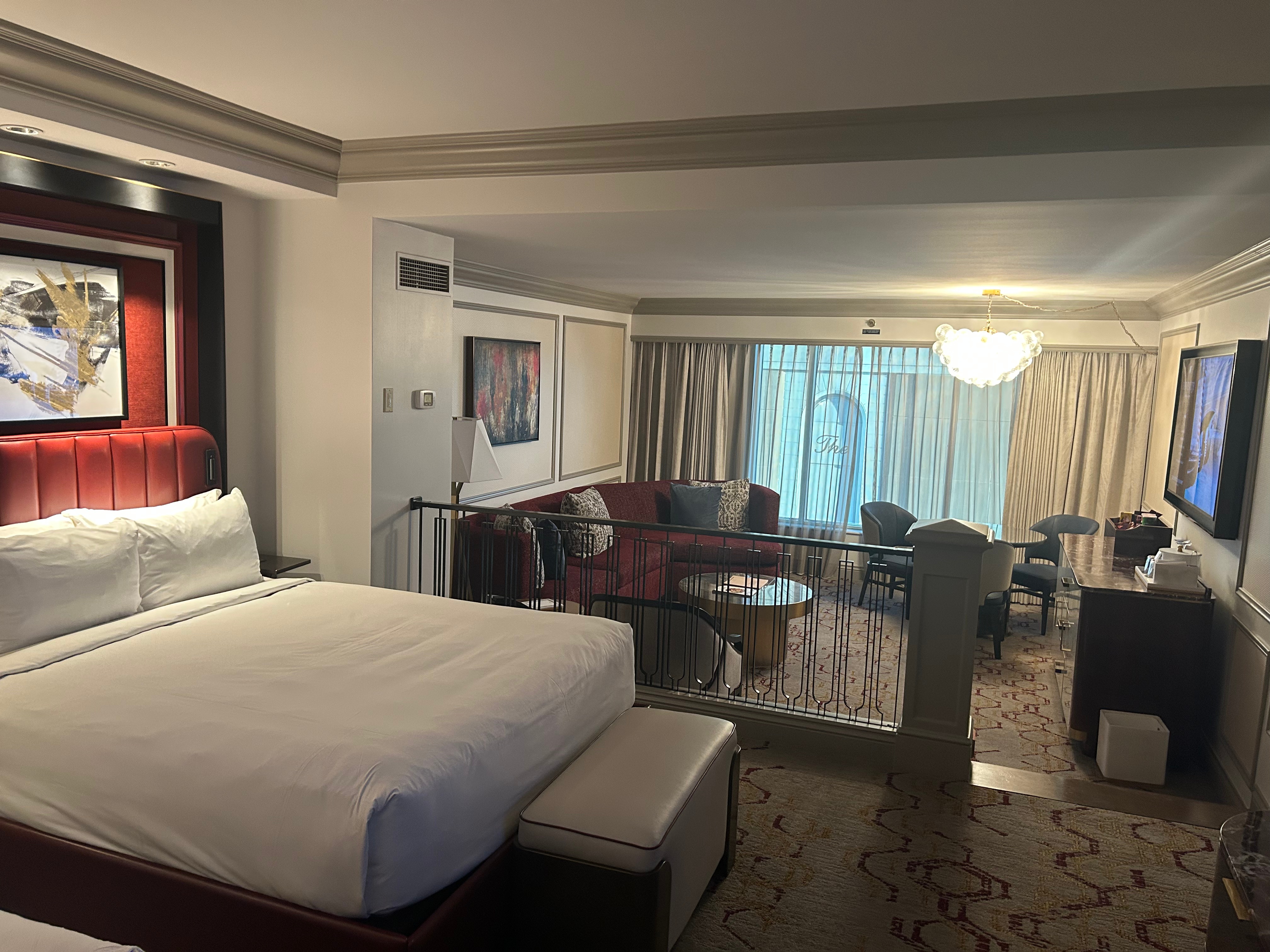
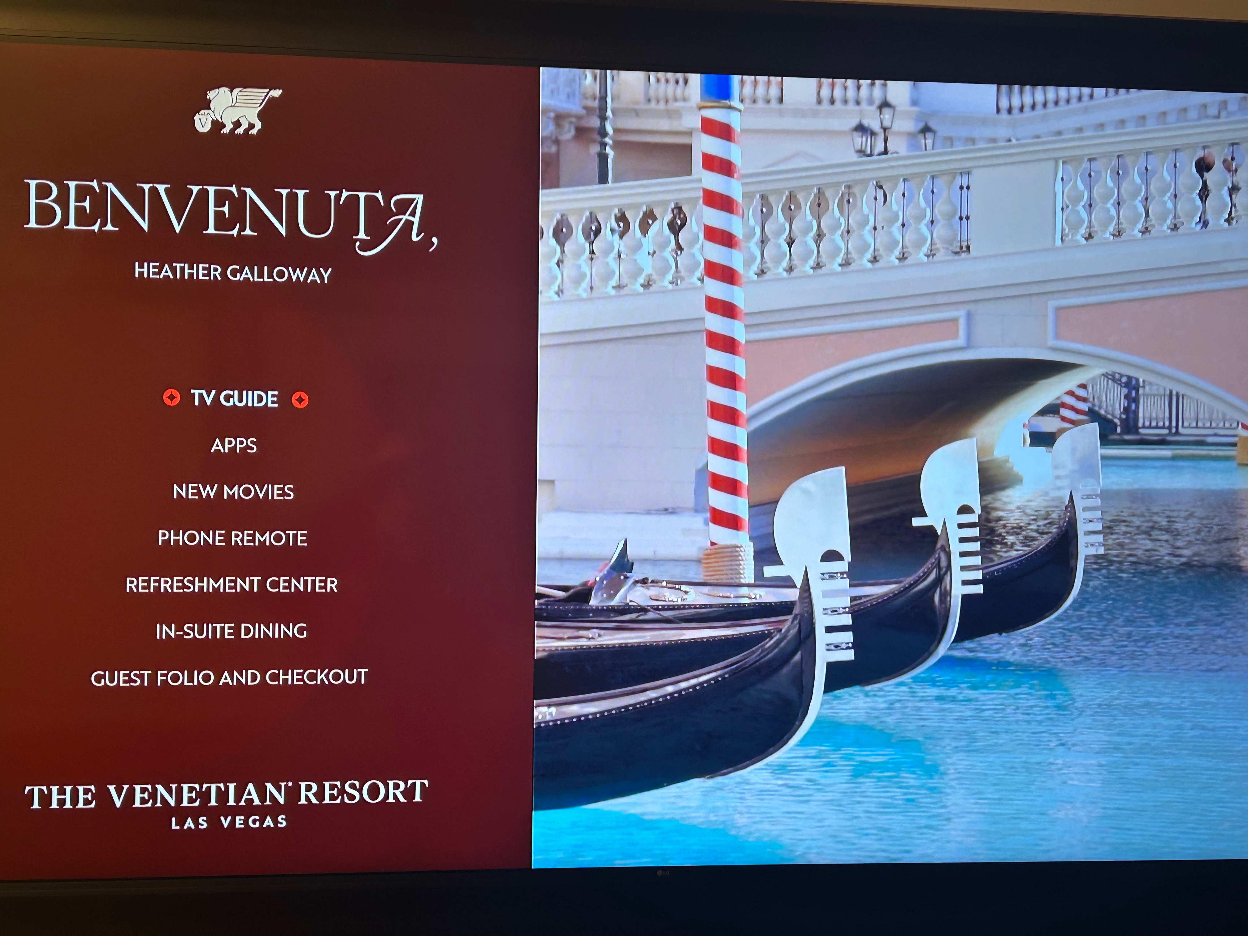
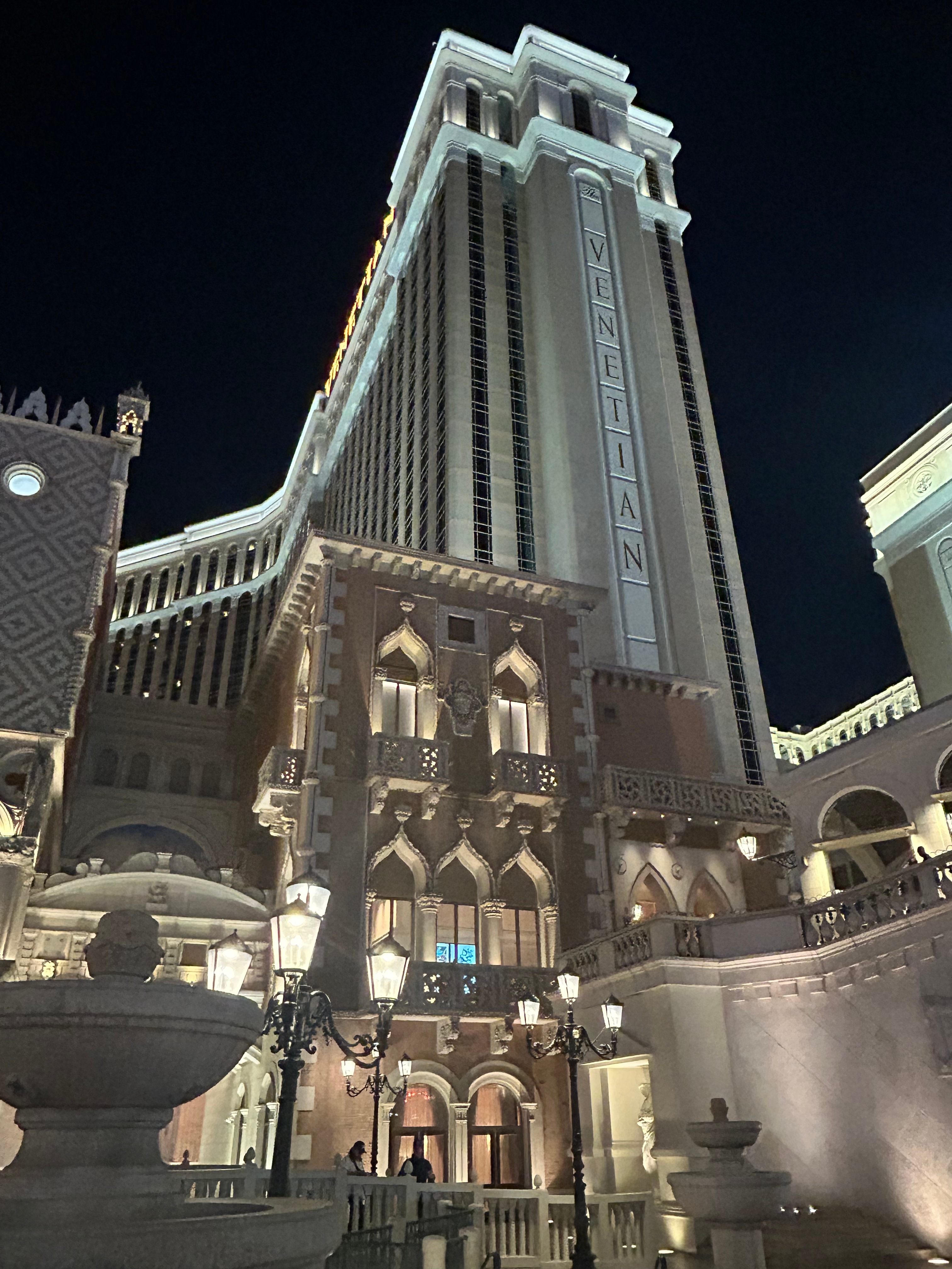
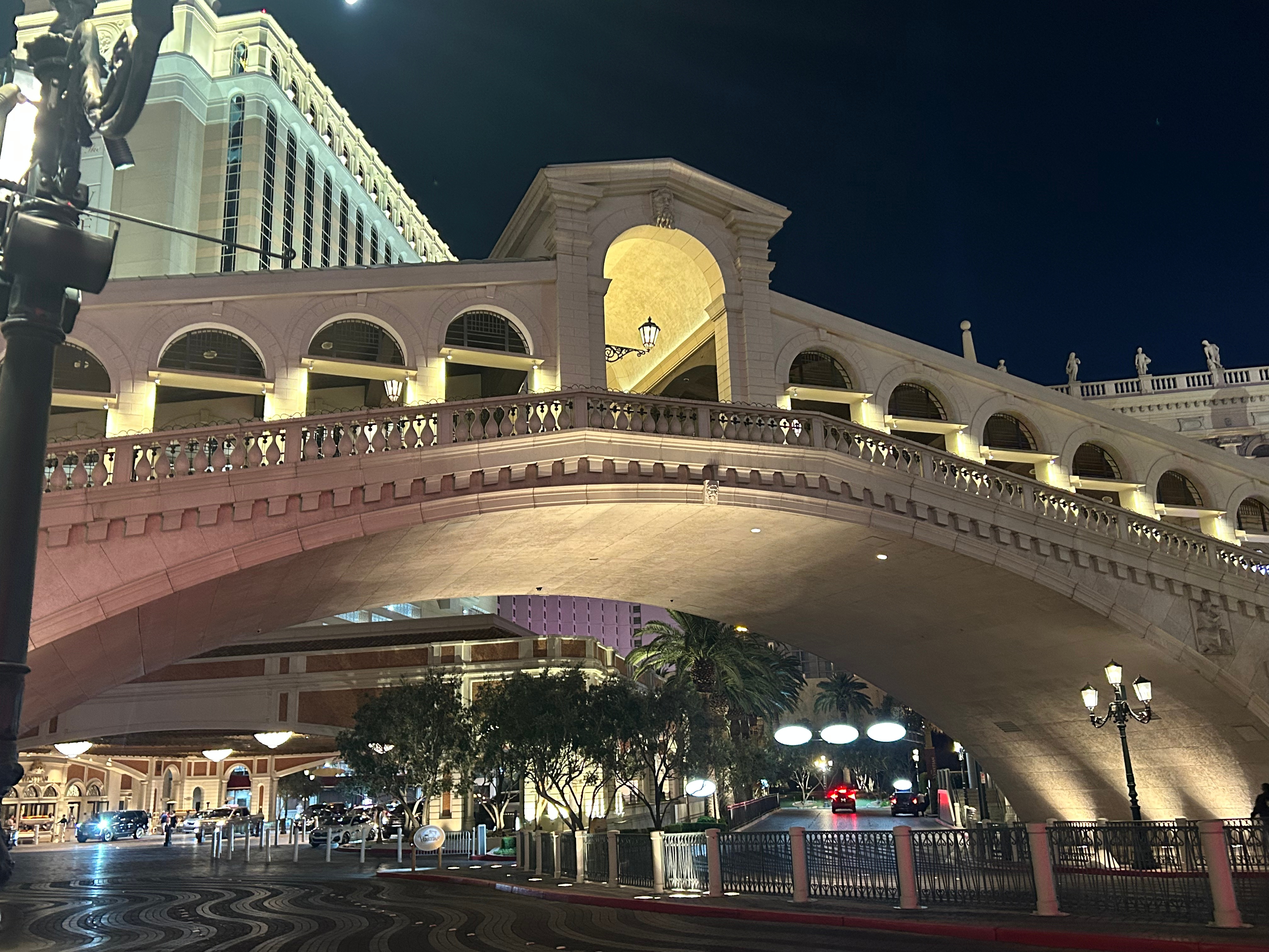
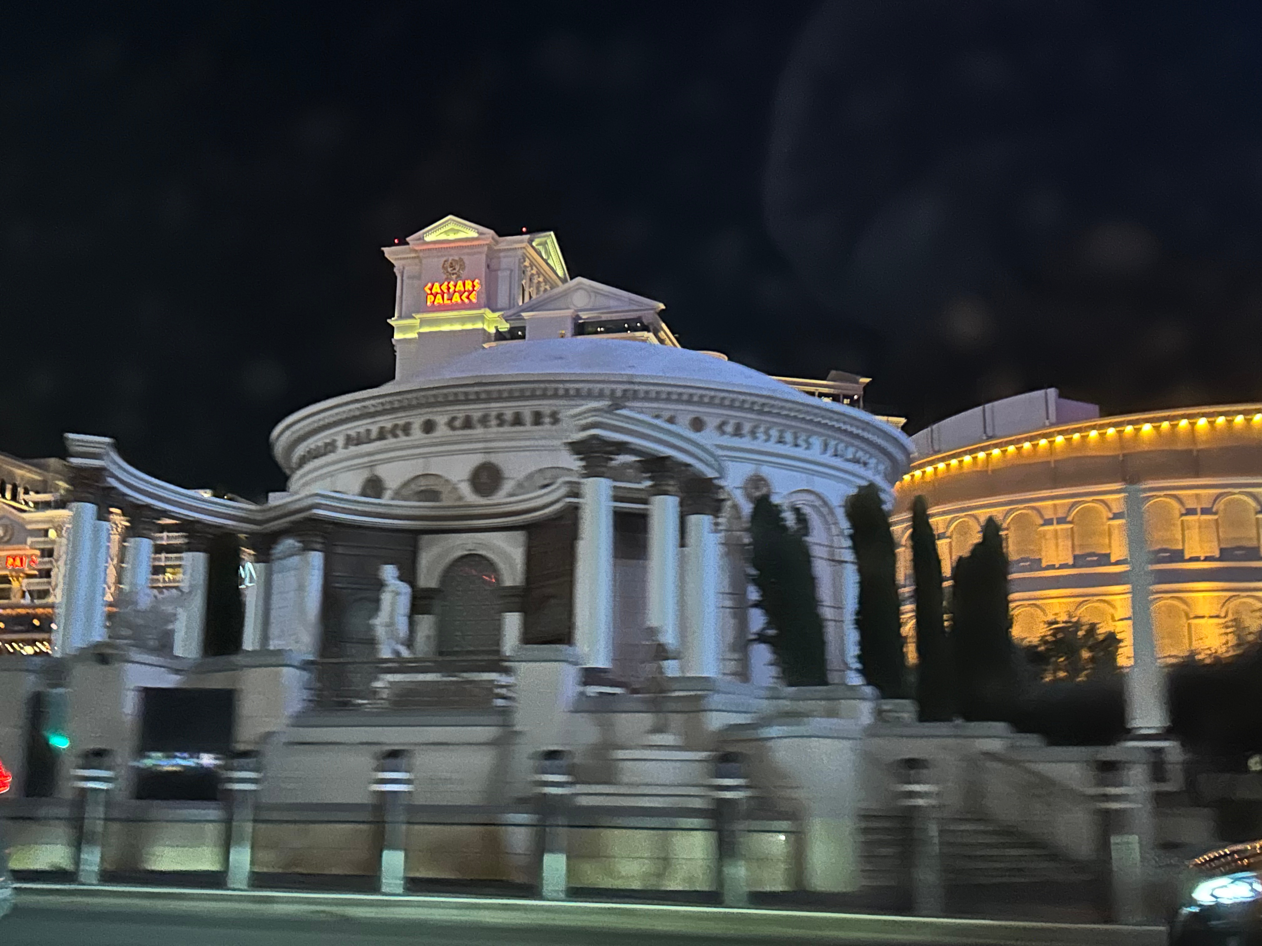
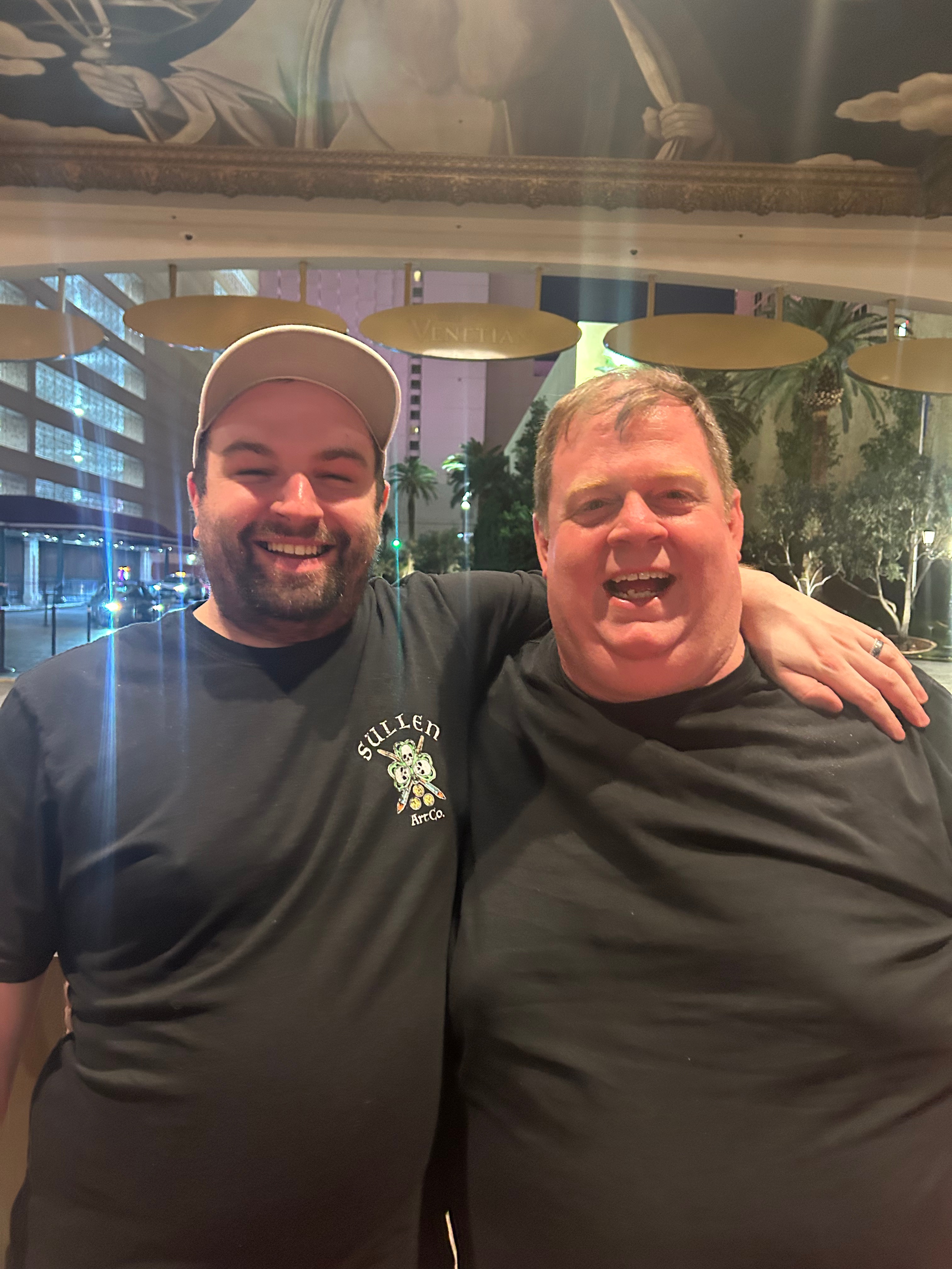
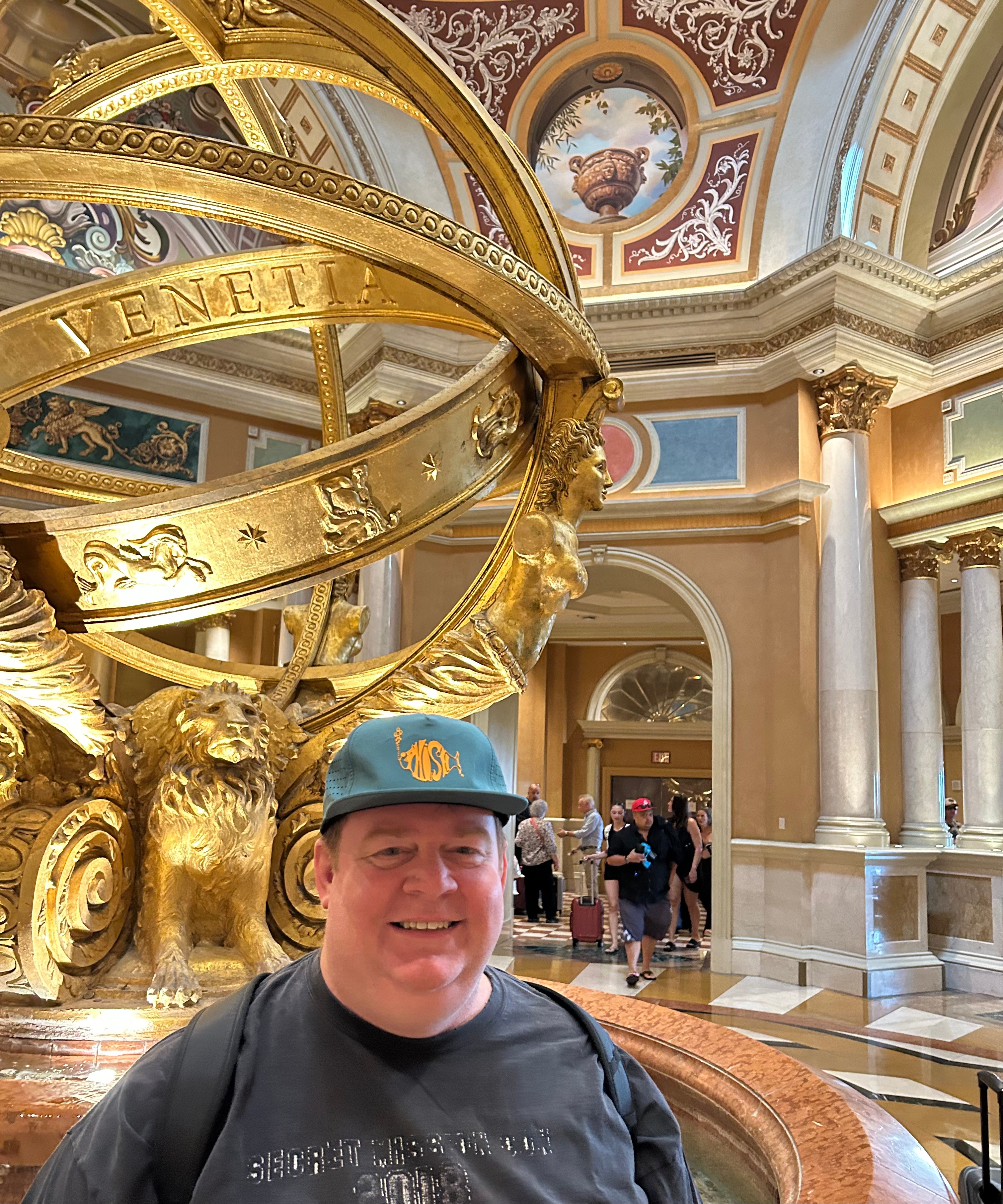
We finally found our way to the Venetian property and dealt with the typical valet and bell hop. We had additional check-in adventure with security though. The property sent me information noting that no weapons are allowed on property (including in your car). In being prepared for getting stuck in the wilderness (or in any other bad situation), we had a gun with us. So we had the long walk with security to go check Thom’s gun into the Venetian armory. We sort of got a behind-the-scenes tour, lol. Back up in the hotel, we couldn’t help but be in awe of how exquisite this place was. Funny enough, this stay wasn’t any more expensive than any of our other stays along the trip. It did, however, have the longest walk to the room. After checking in, we walked to the hotel tower elevators, but had to travel a winding path around the casino, stores, and restaurants. Once up and off the elevator, we laughed at the fact that there was a big bench in the hallway…as if you needed a break between the elevator and your room. But then we proceeded to walk a hallway that seemed like a quarter mile long. (We ended up in the 40th room of the left…there were SO many rooms here!) Our room was comically big, and I enjoyed marveling at the luxury. I must also admit that it’s pretty delightful to walk into a room where the screen welcomes you by name. I guess I just love the little details. While we both could’ve easily crashed for the night, I’m pretty sure it’s against the law to go to bed early in this town. So we unpacked, showered, downed some 5 Hour Energy, and headed out to explore.
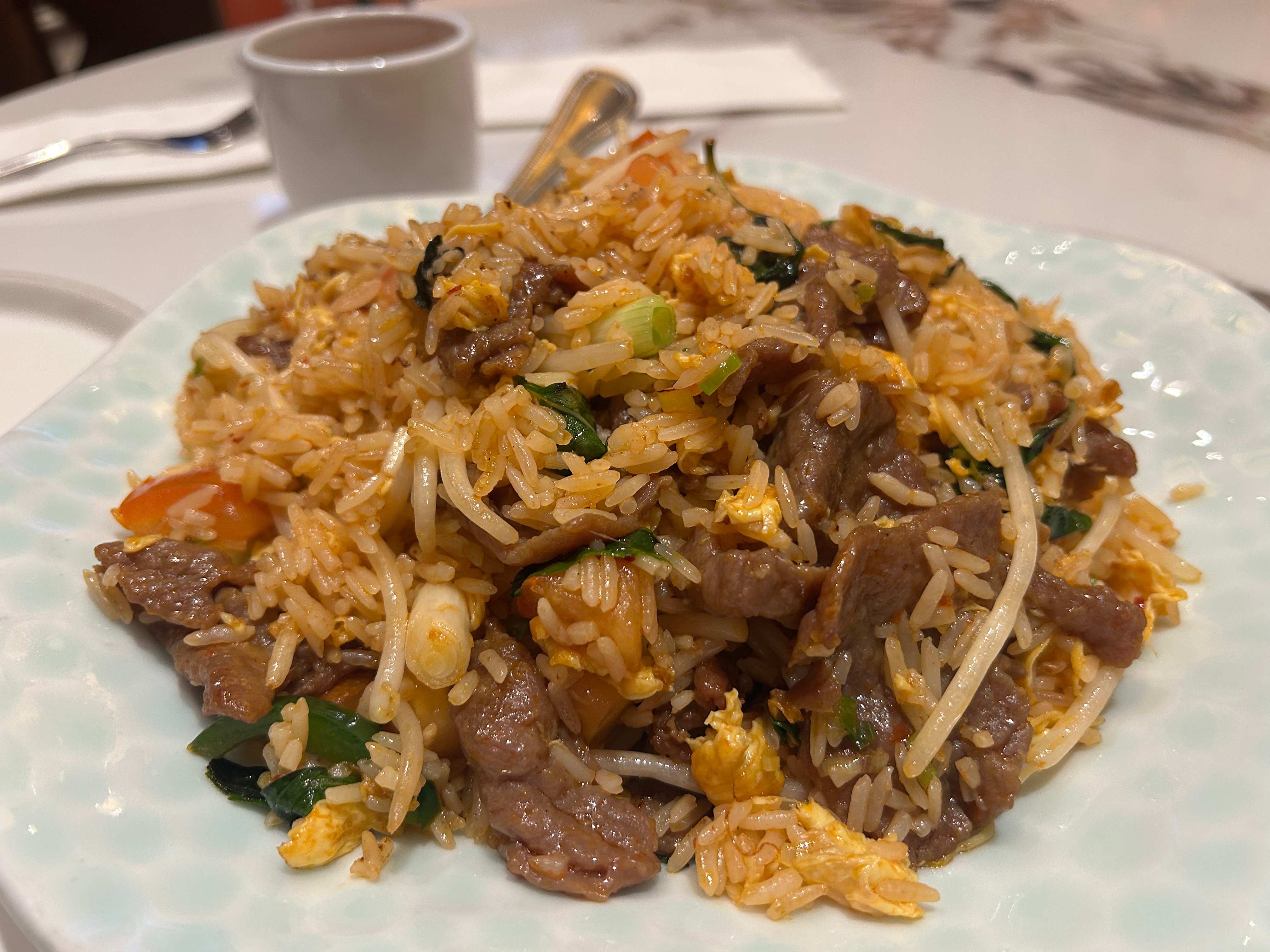
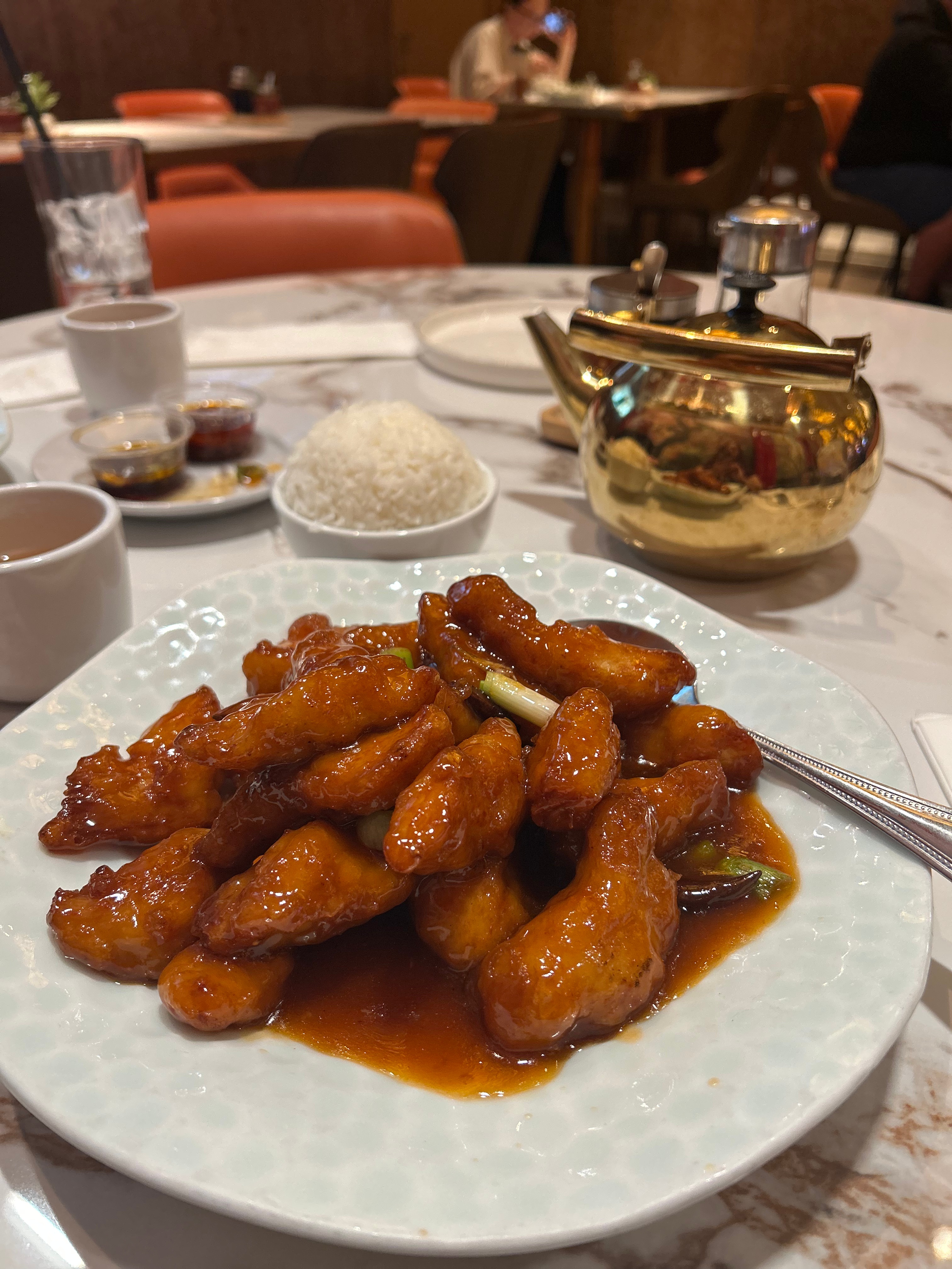
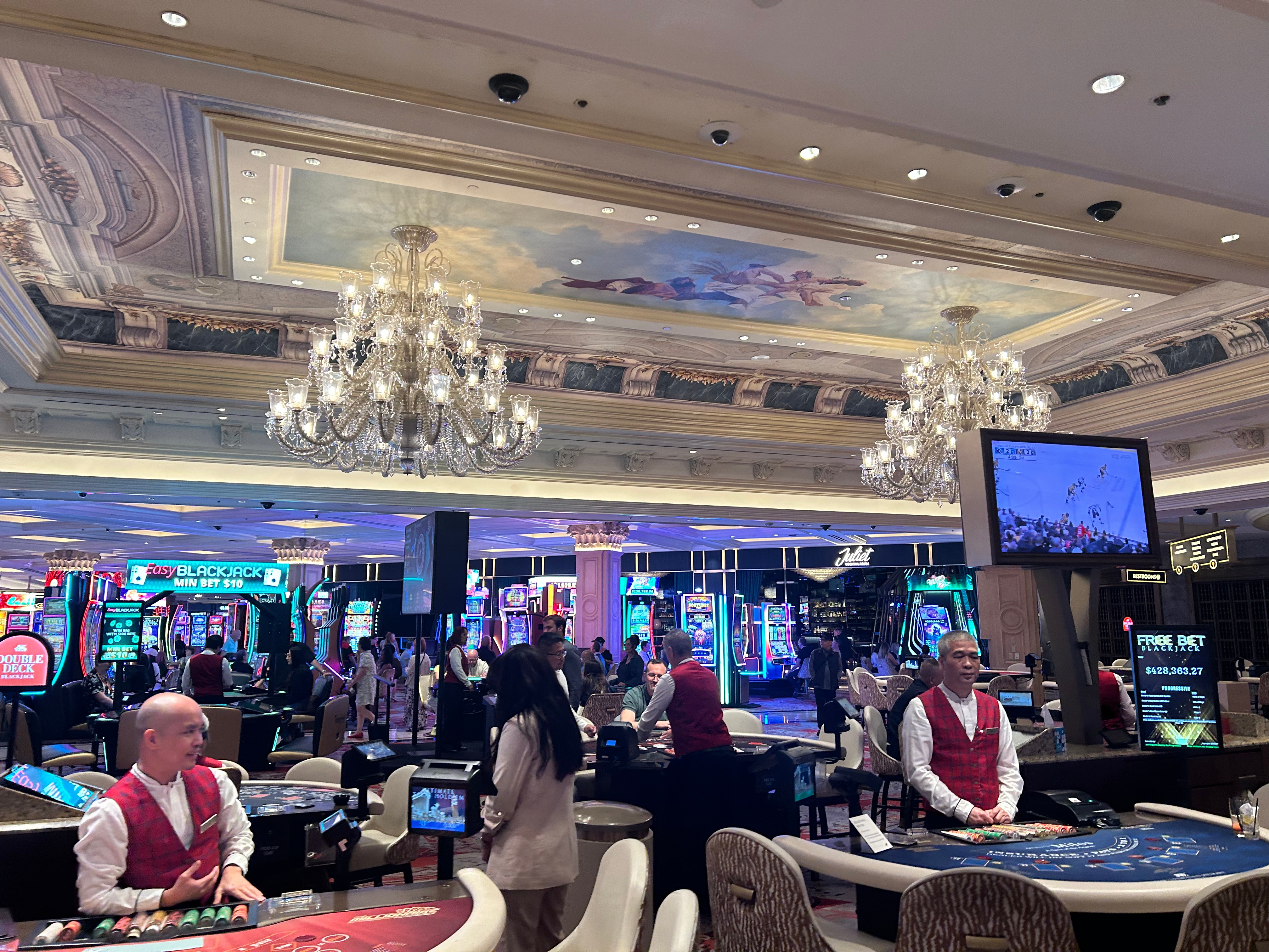
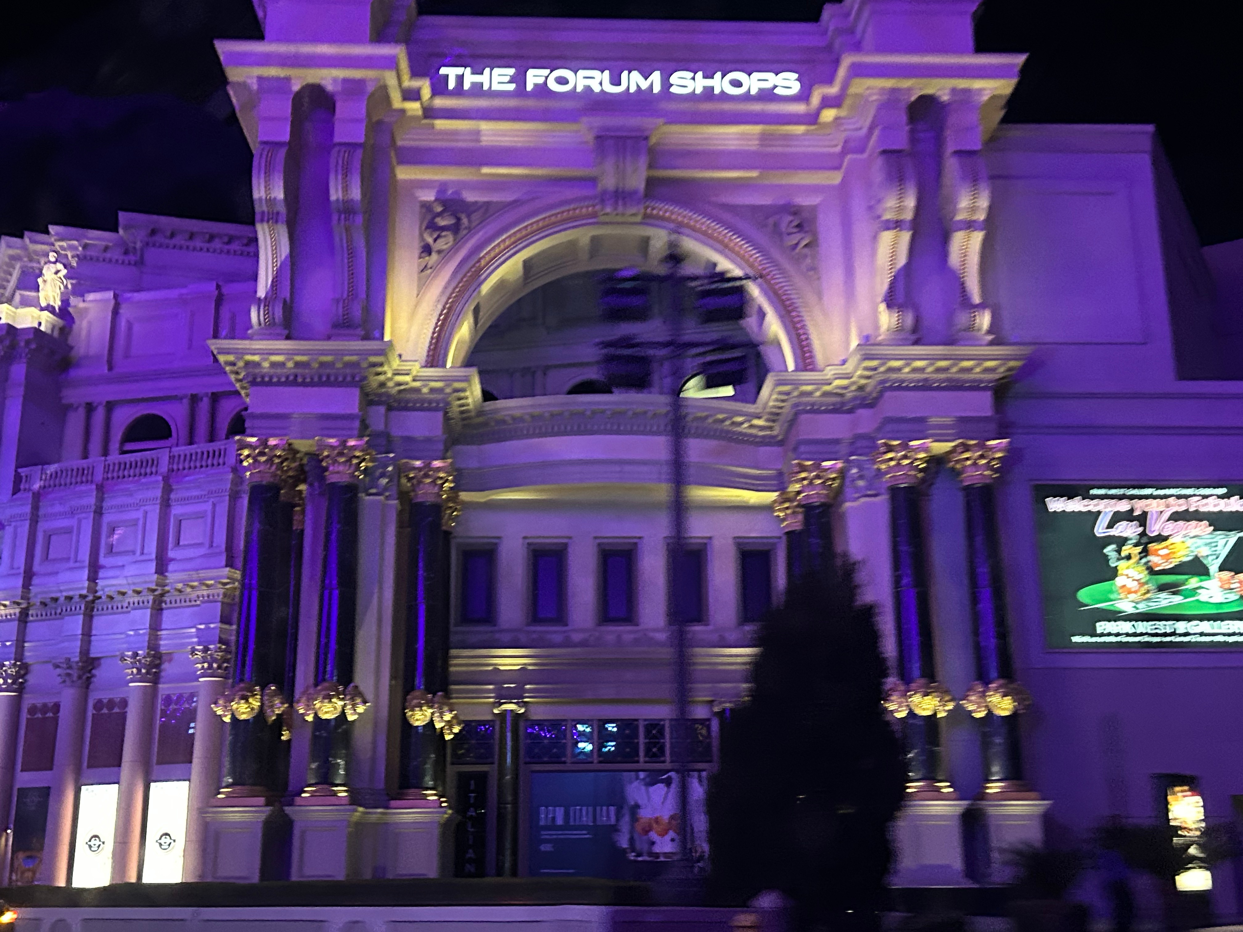
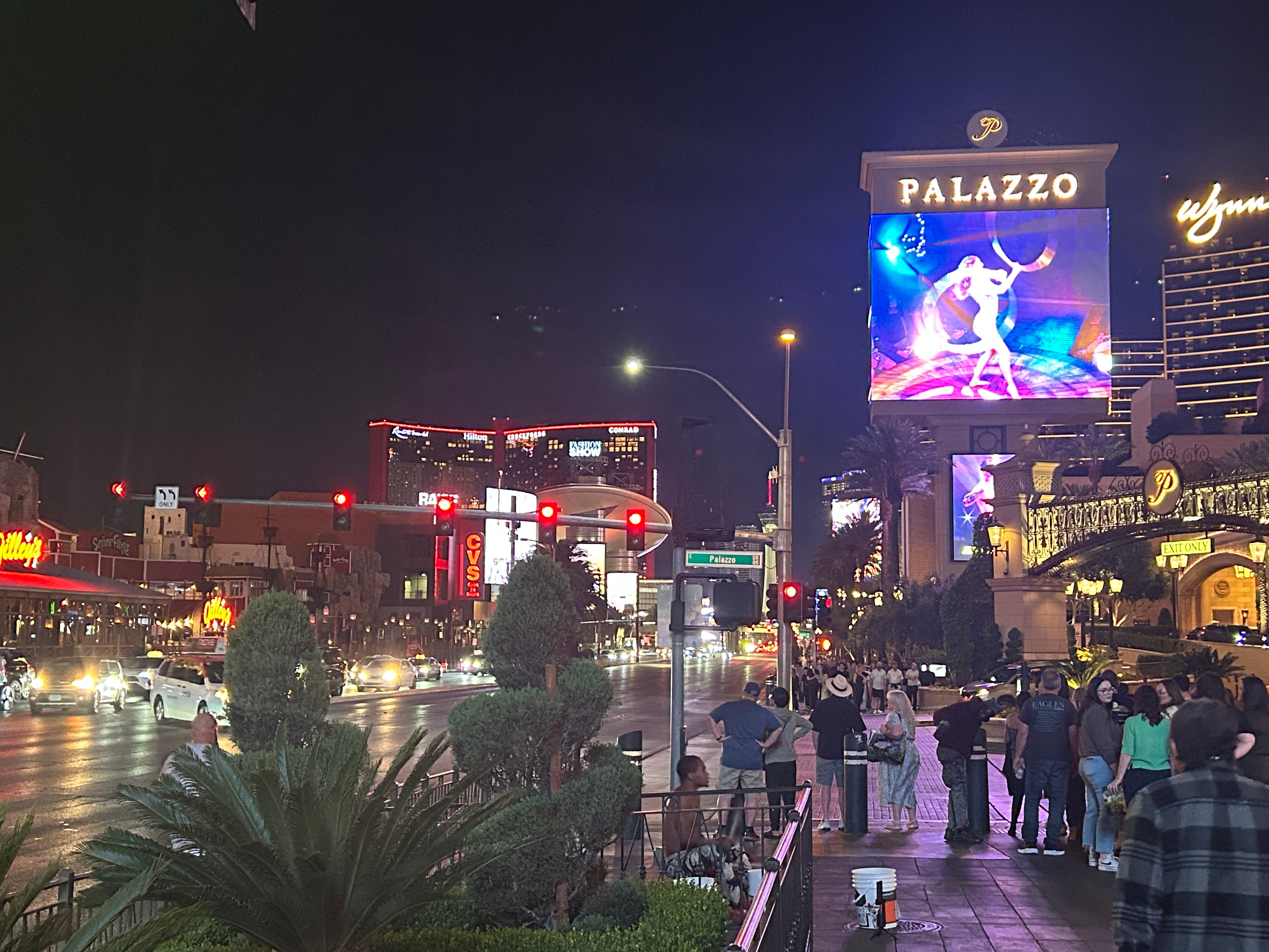
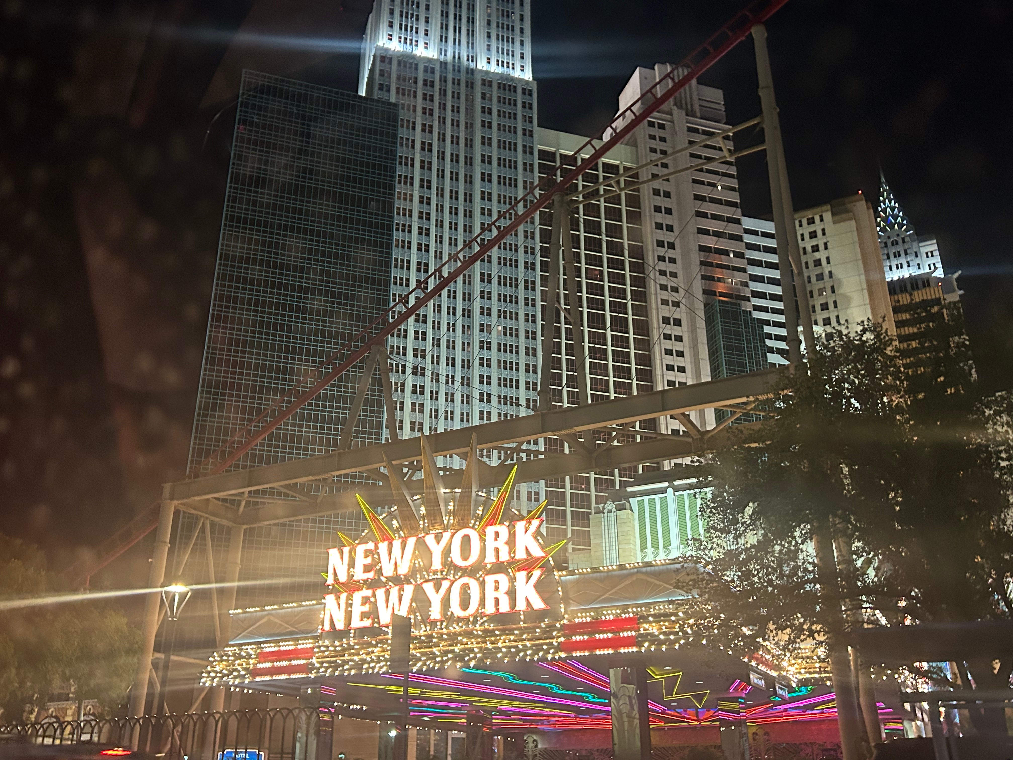
Dinner was at the top of our to-do list, but we had to traverse the casino maze to get anywhere. Our internet research had pointed us to Noodle Asia, and it was, in fact, quite excellent. I had thought we might do some sort of gambling in the casino, but it turned out that both of us absolutely hated the casino area. It was chaotic, loud, and smoky. Neither of us make enough money to be wasting it, nor do we know much about any of the games…so we figured that whole place was a fool’s bet for us. We found our way out and went to see a bit of the strip. Alternating between strolling and sitting, we just savored the view and the conversation.
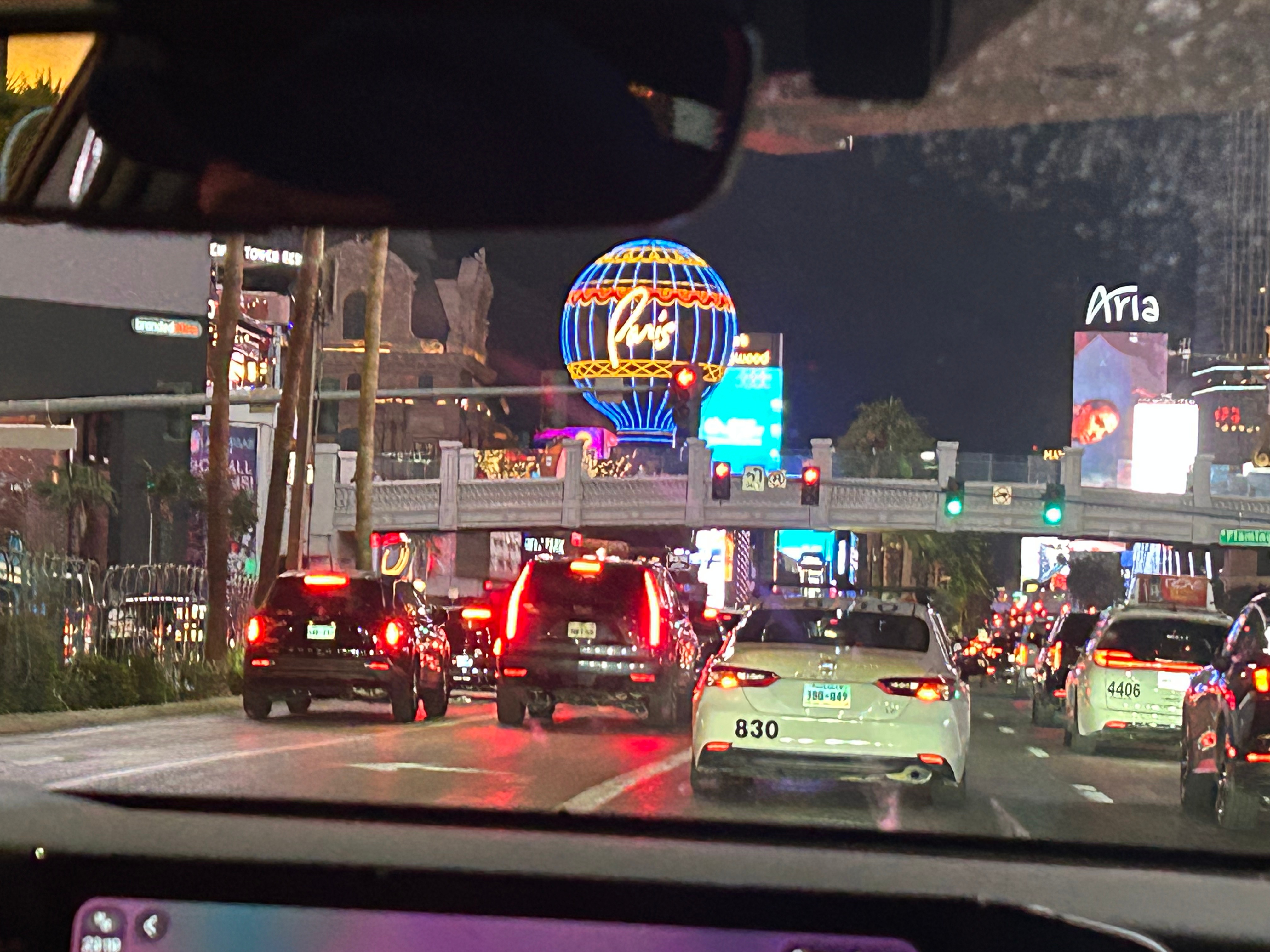
We also had plans for the night to meet up with our friend, Michael, who’d moved to Vegas this past year. He didn’t even get off work until after 10; he (and his friend, Joel) picked us up around 11, and we went for a cruise along the strip followed by drinks at a local bar. By the time we made it back to our room, we’d been up pretty dang close to 24 hours. I felt like I had lived two days within one–getting up for sunrise in the desert, traversing scenic roads and three national parks, and then a night in Vegas.
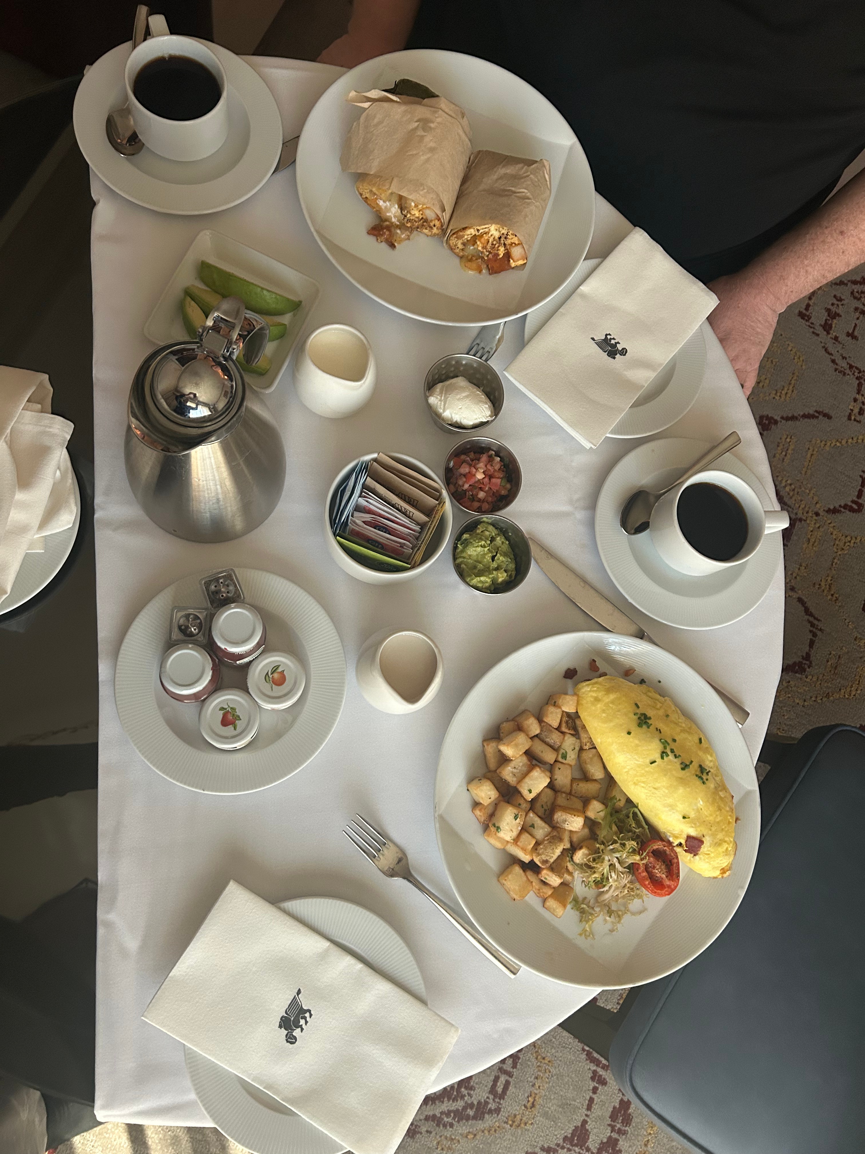
Needless to say, we didn’t wake up until afternoon the next day. Since we didn’t waste money at the casino, we wasted it on room service breakfast in the middle of the day. I had some writing to do as well as some work that couldn’t wait for my return. (Yeah, I know, I’m on vacation…but some of my duties are time sensitive. Other than a few emails and texts, I didn’t work much outside of these few hours in Vegas.) Thom enjoyed stretching out and decompressing a little from the intense driving we’d been doing. To do a trip as crazy as this one, it’s pretty essential to build in at least a half-day of recovery.
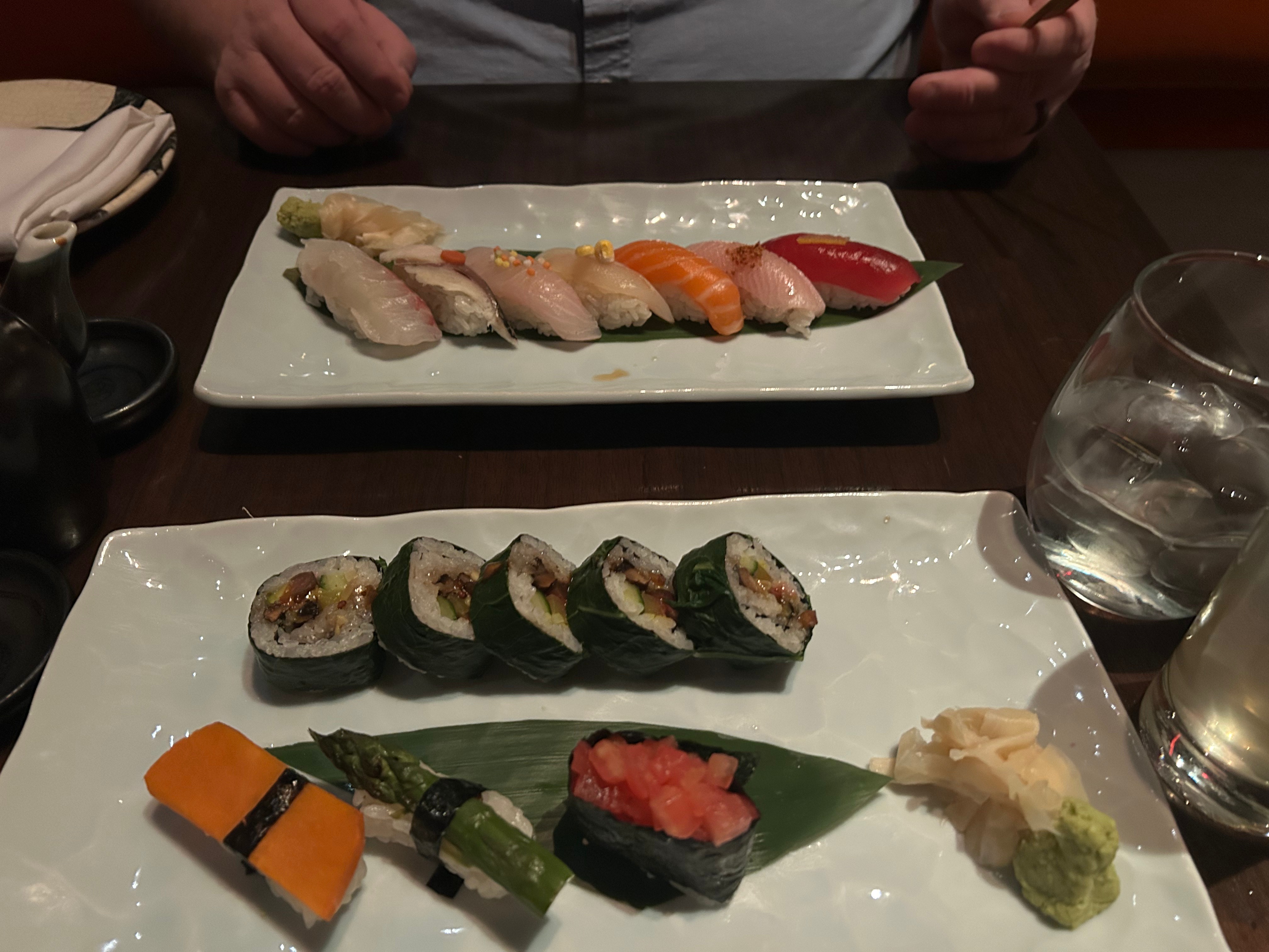
As evening approached, we got ready for the highlight of the whole trip–the Phish concert. We had a delectable dinner before the show at SushiSamba (a fusion of Japanese, Brazilian, and Peruvian cuisine). The atmosphere was super cool, the drinks were delightful, and the dinner was delicious. I got the chef’s choice vegan sushi assortment. All of the rolls were great, but the highlight roll was downright spectacular: it had portobello mushroom, takuwan, cucumber, avocado, and a wasabi onion all wrapped in rice and a collard green wrapper.
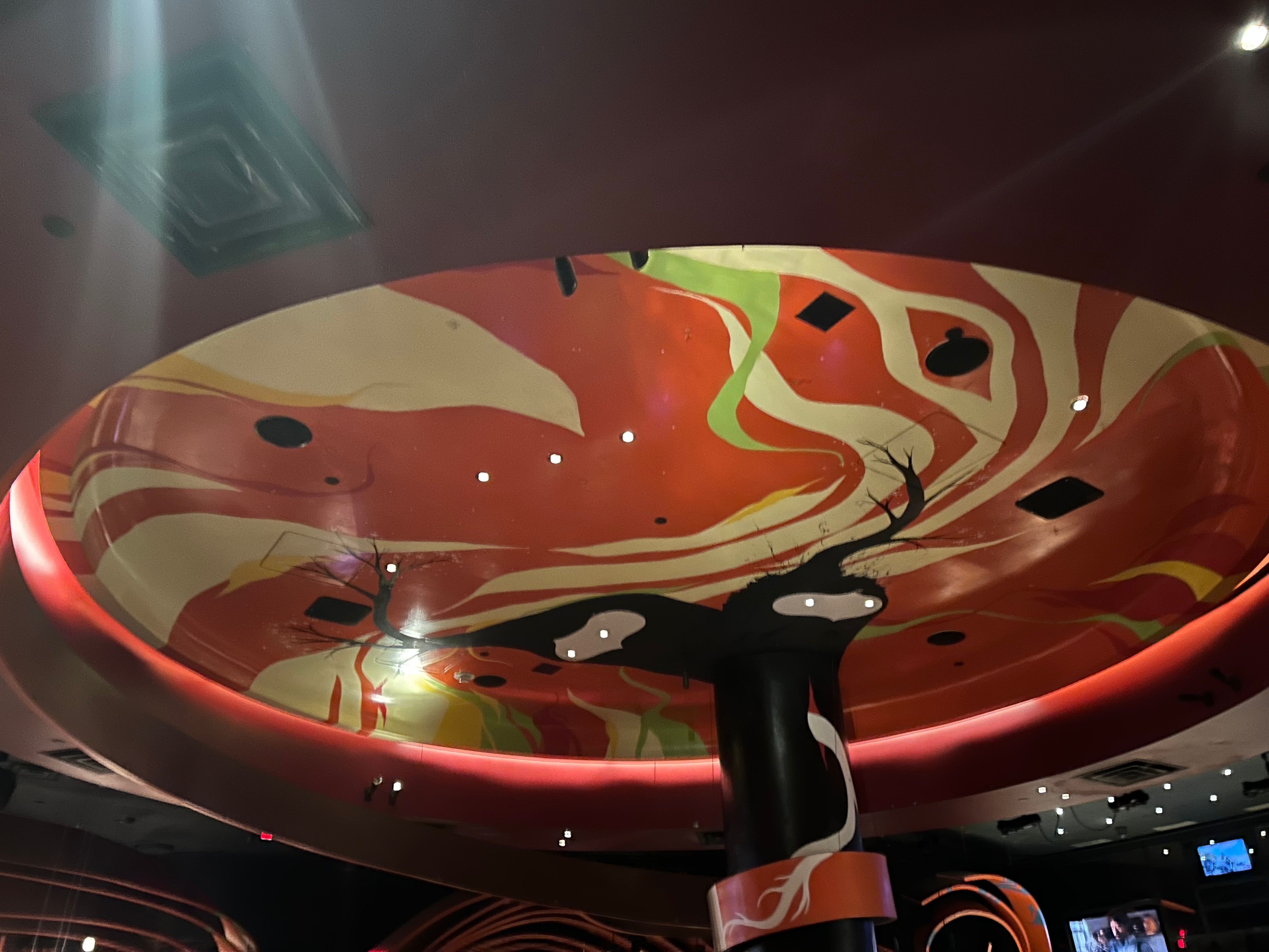
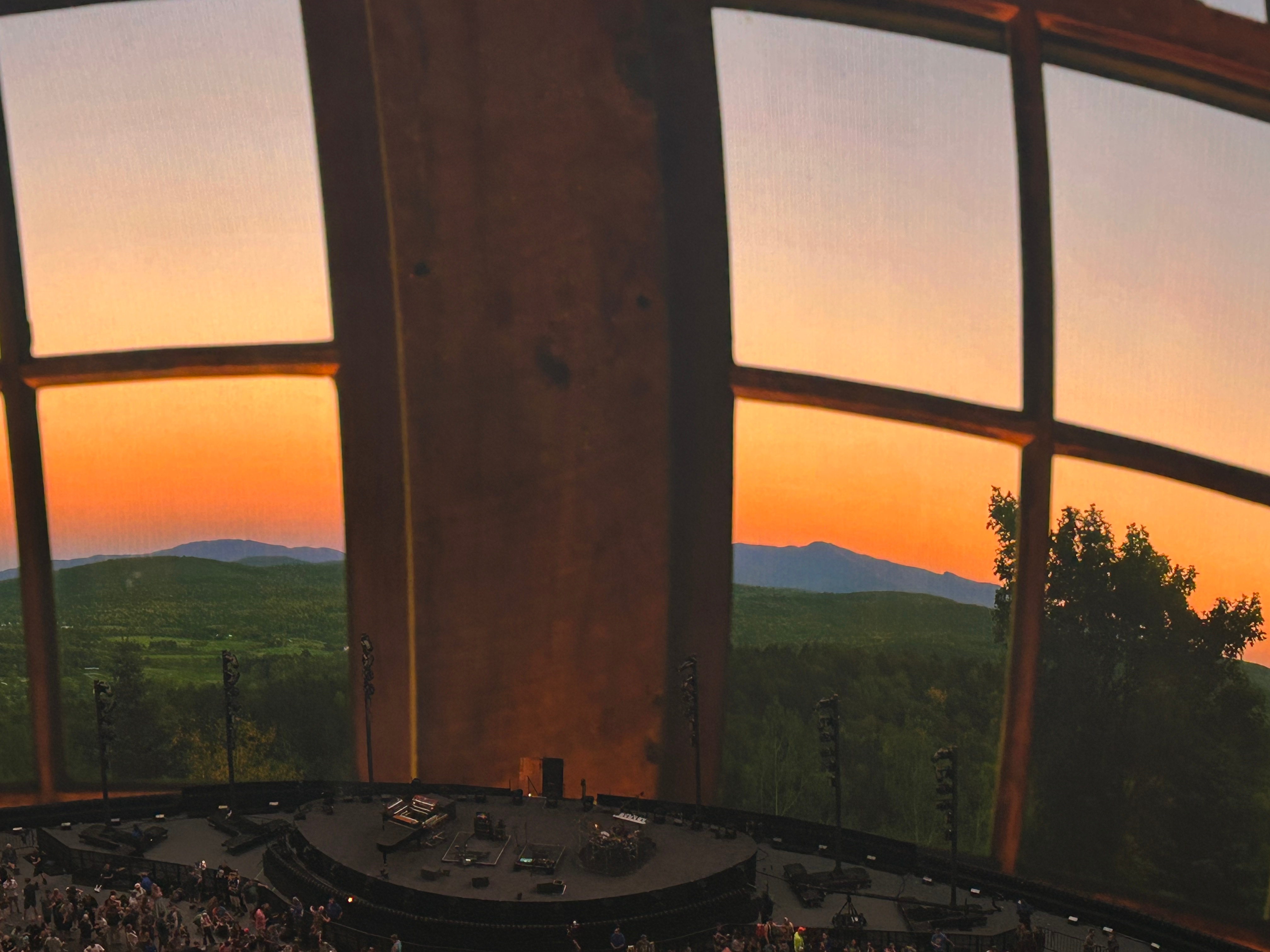
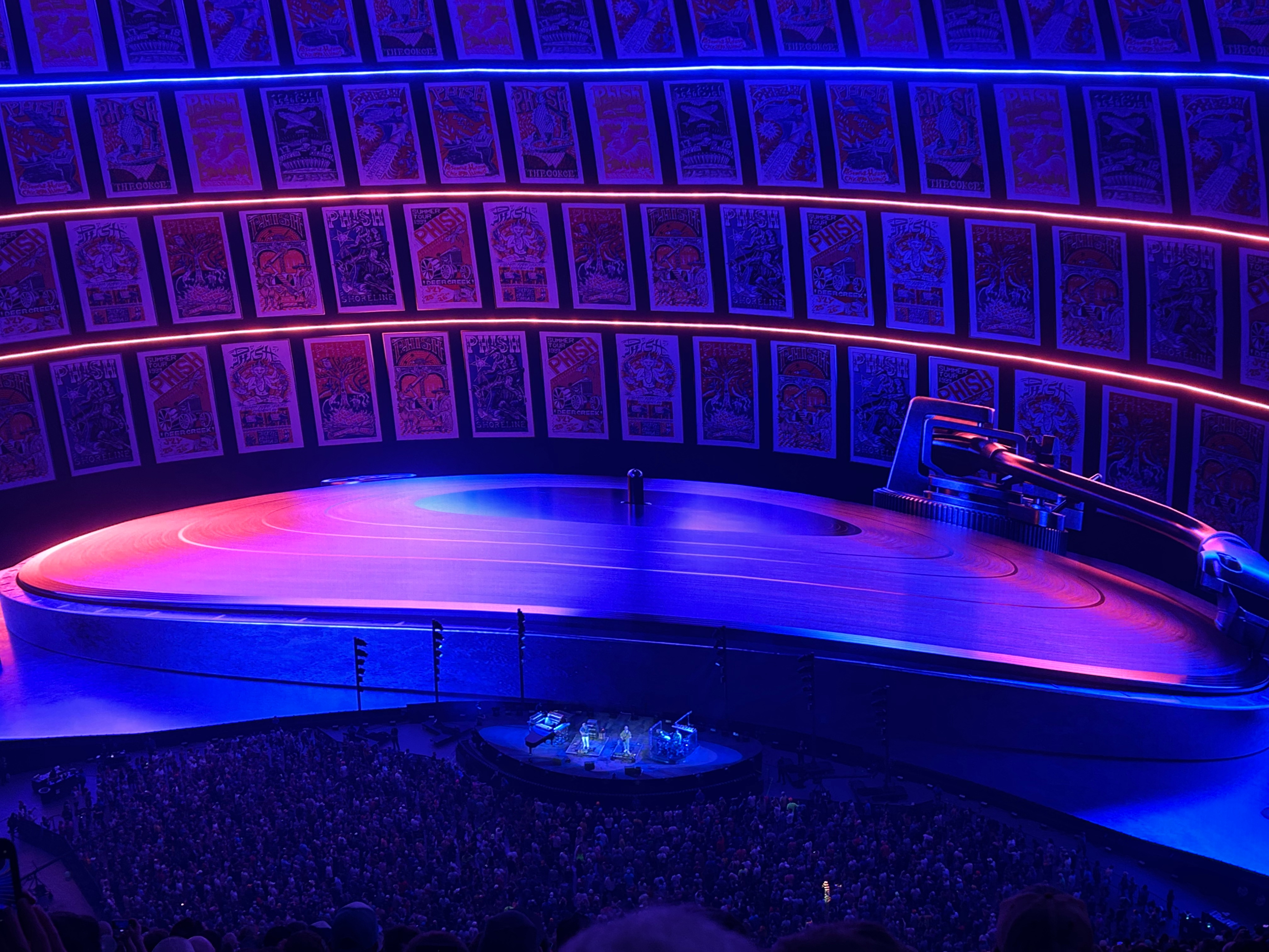
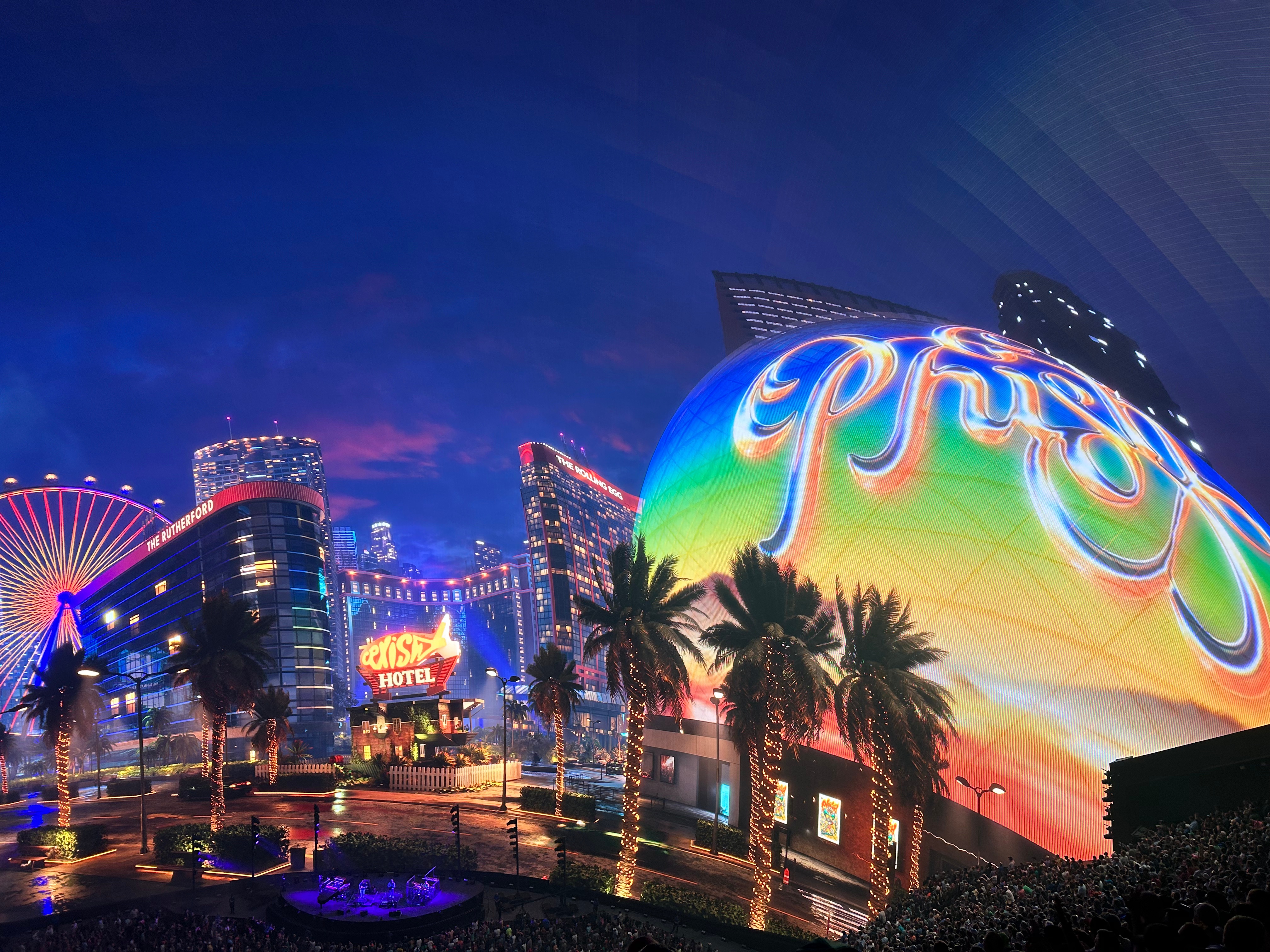
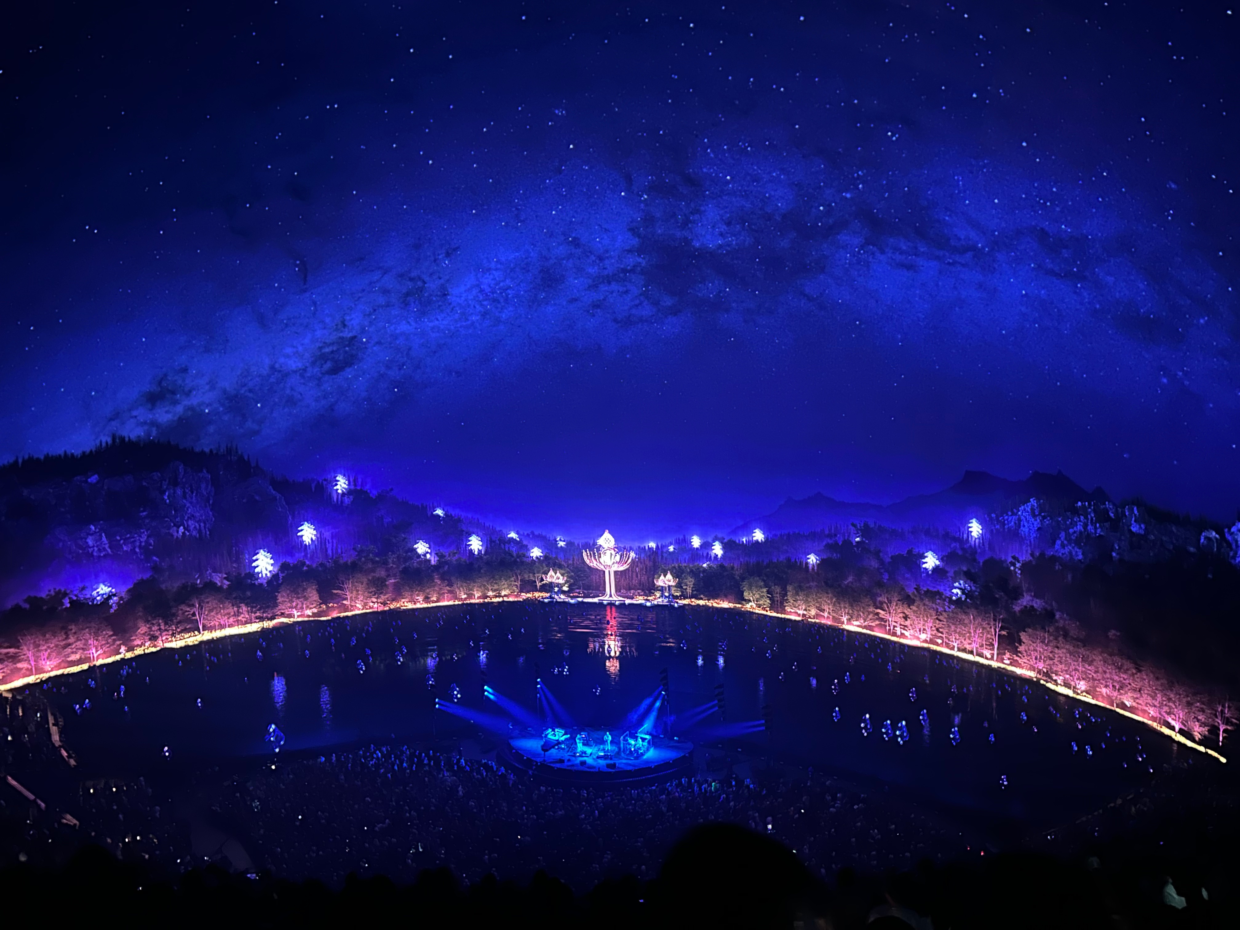
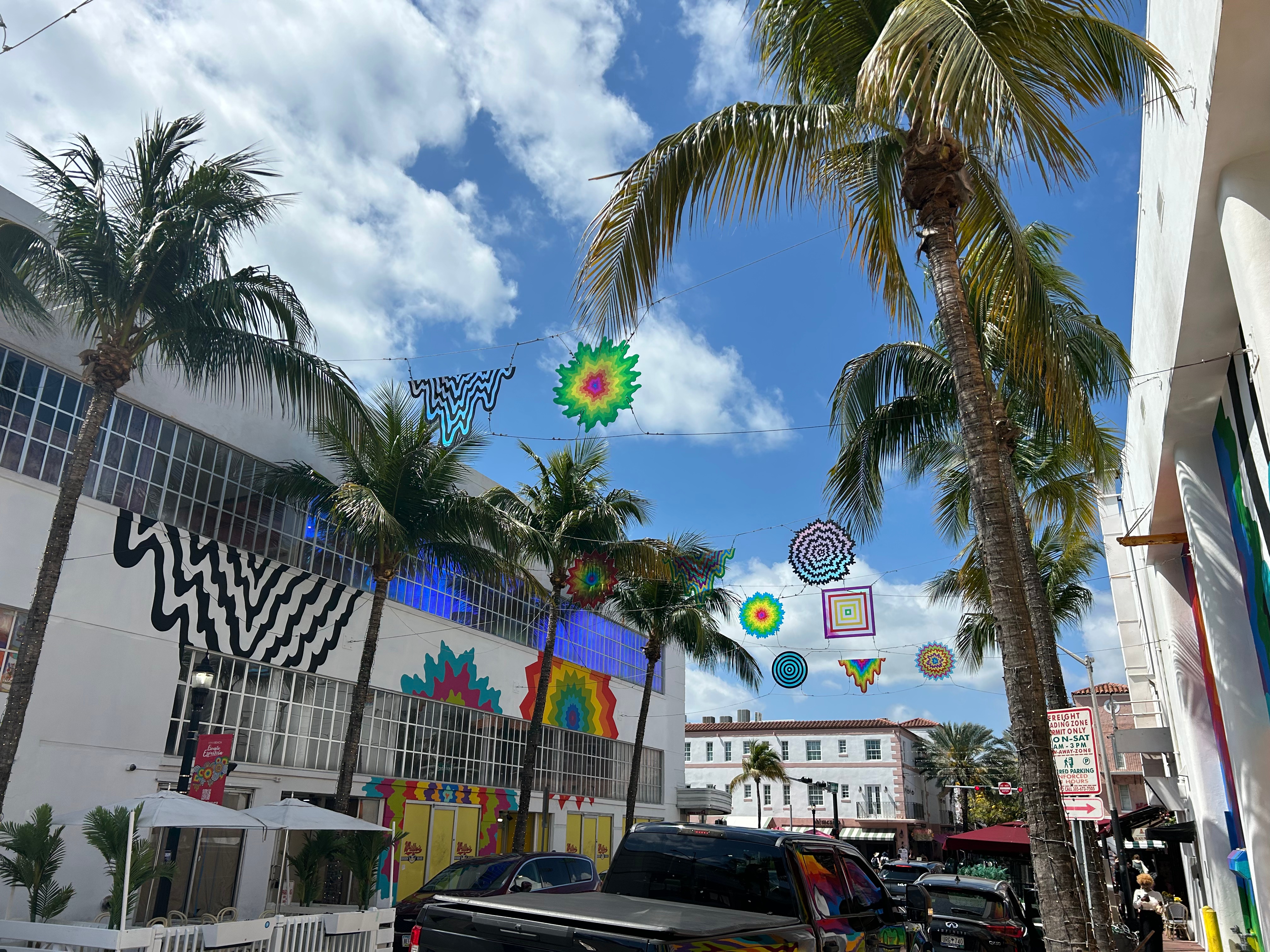
Then, finally, the piece-de-resistance…we made it to the Sphere. Tonight instead of giant mountains, we had a giant venue. This place features a 160,000 square foot display that wraps over and around you. We chose seats up high so we take it all in. It also touts immersive sound with 167,000 programmable speakers. As if that wasn’t enough, it’s also a 4D experience with infrasound haptic seats. I have to say, I didn’t make use of the 4D sensation as I didn’t sit down except during the intermission. However, Thom said it was fantastic to feel the music in the seats.
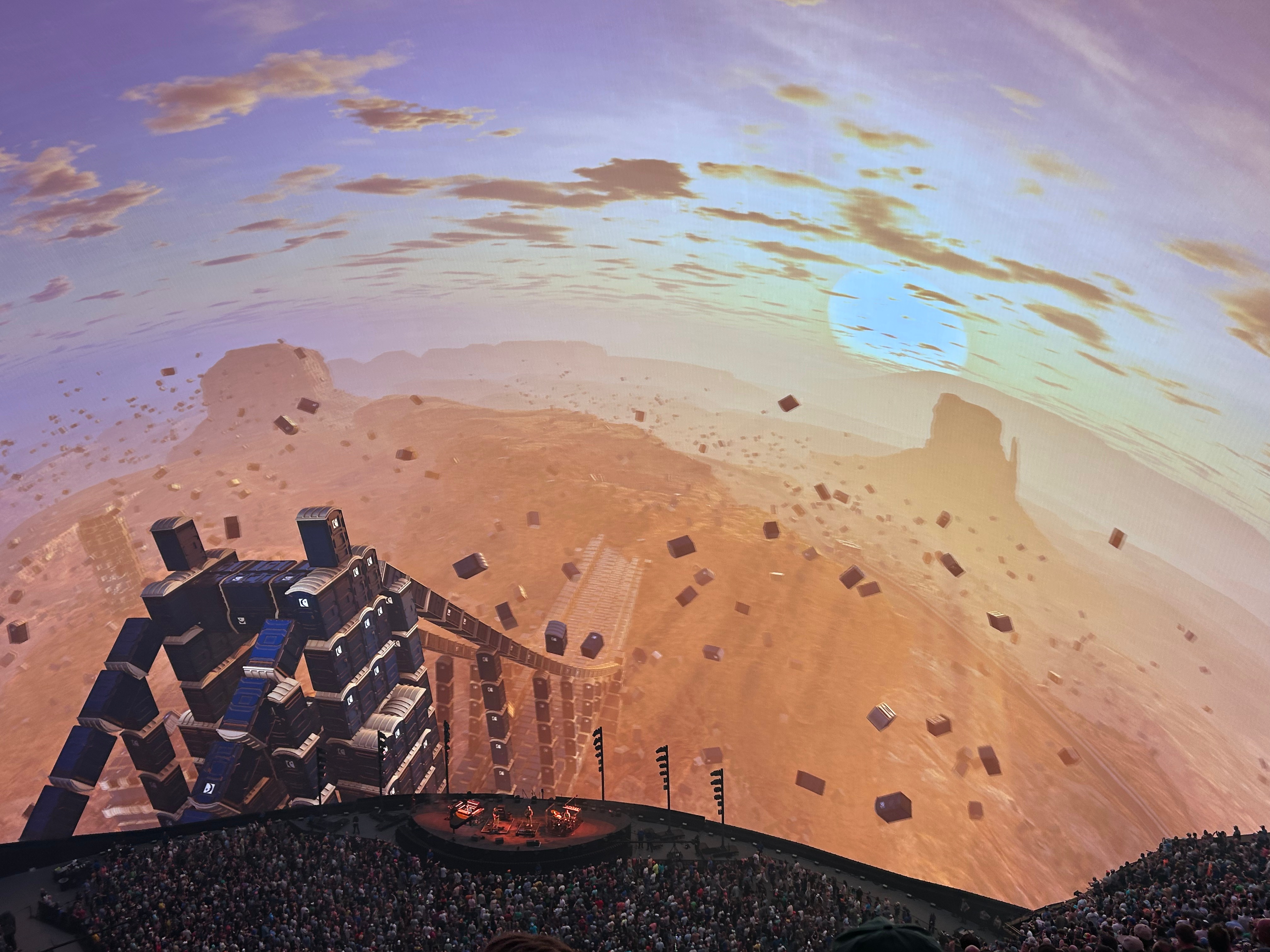
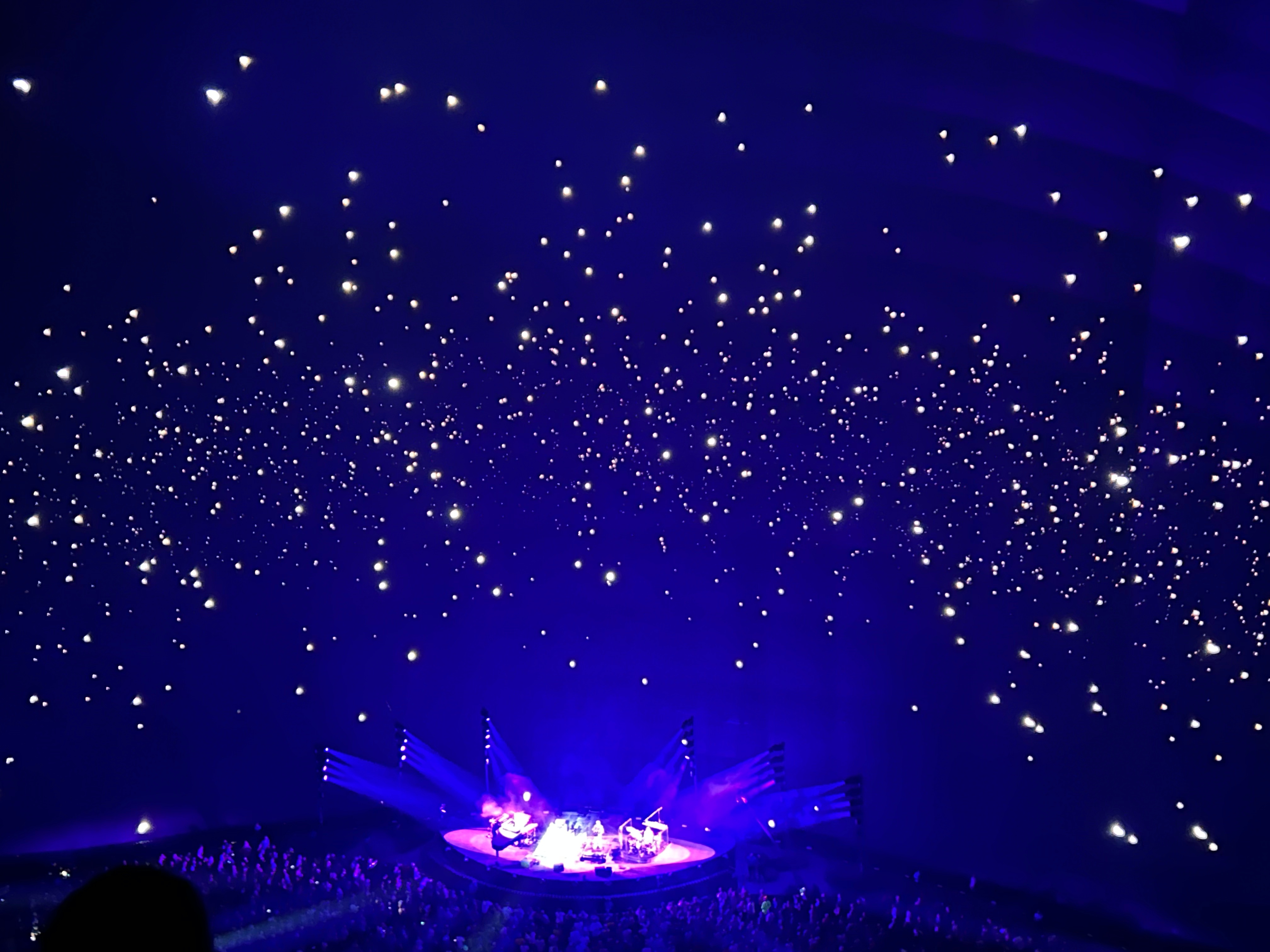
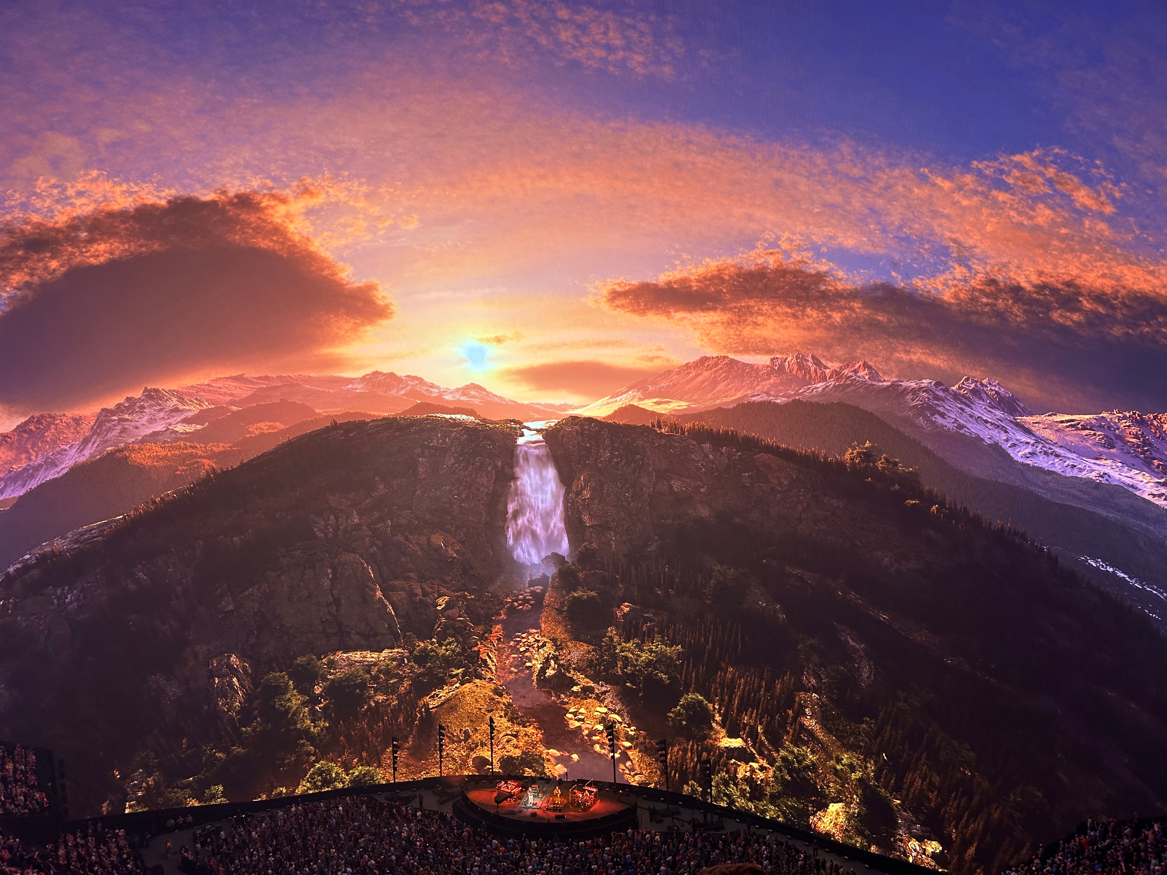
I hadn’t been reading the reviews of this show, as I didn’t want any spoilers. Plus, they were doing three weeks of three night sets, so there was no telling which sets we would get on a given night. (Oh how I wish we could’ve stayed for all three nights!) We got two great sets plus an awesome encore. I loved that some of the visuals included desert formations and starry nights, it tied in so perfectly with our trip. Here’s the set list for those who love Phish: Set 1: The Wedge, Nicu, Halfway to the Moon, Leaves, 555, Dirt, Punch you in the Eye, Golgi Set 2: I Heard the Ocean Sing, Wave of Hope, Prince Caspian, Lonely Trip, Runaway Jim, Sneaking Sally, Drift While Sleeping Encore: The Sloth, Squirming Coil
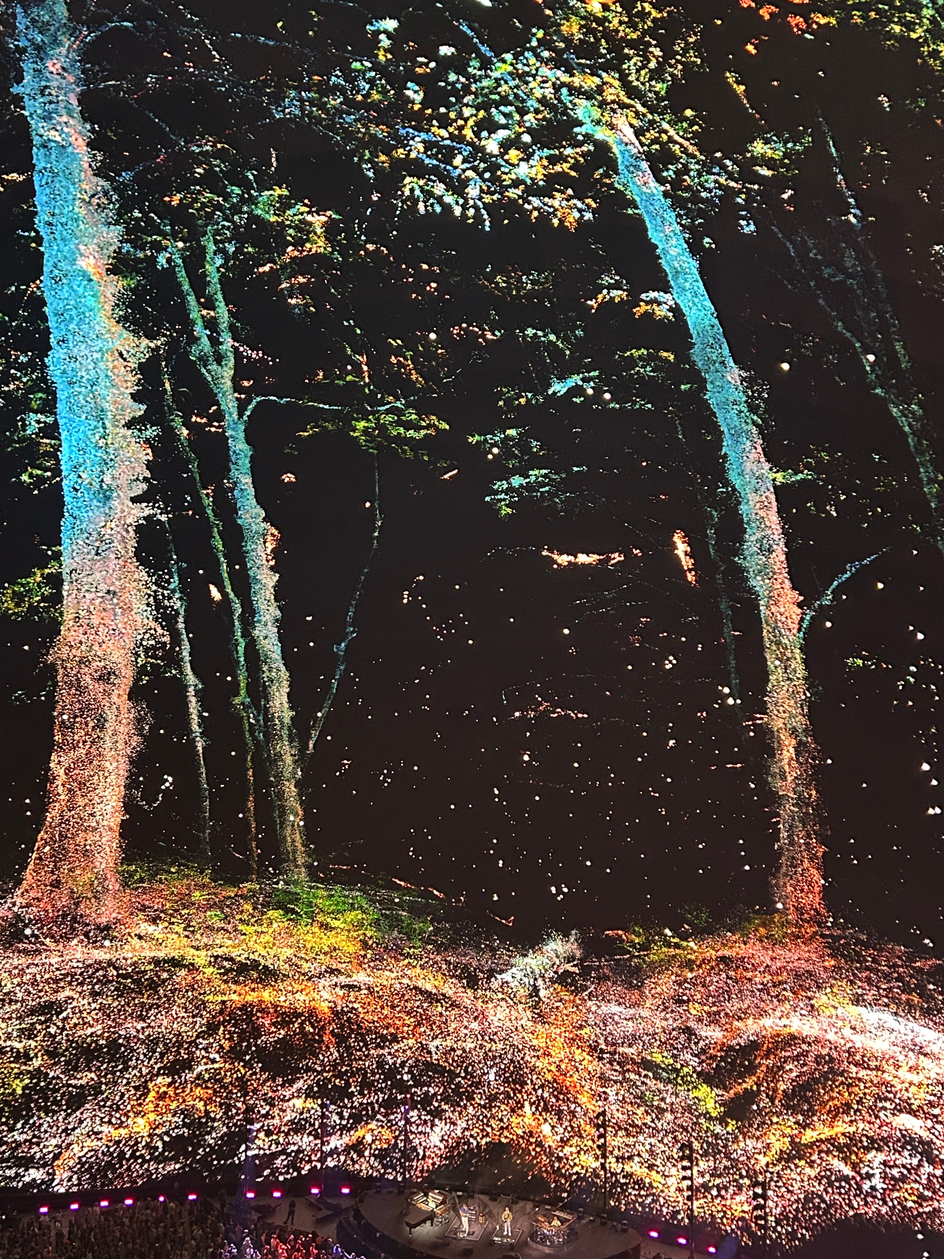
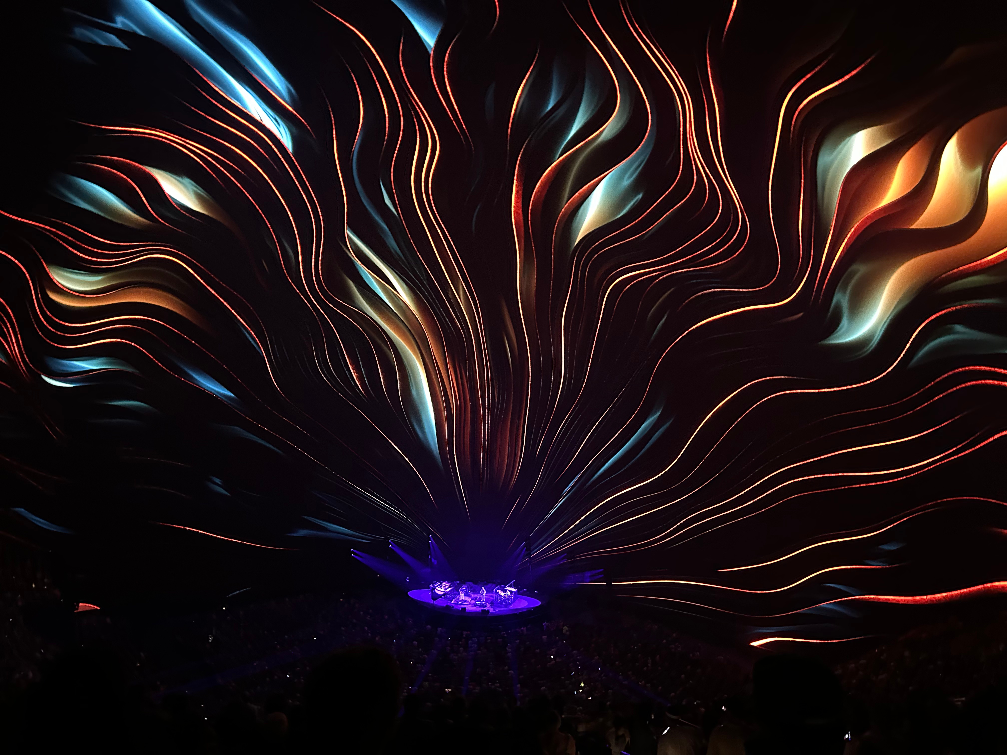
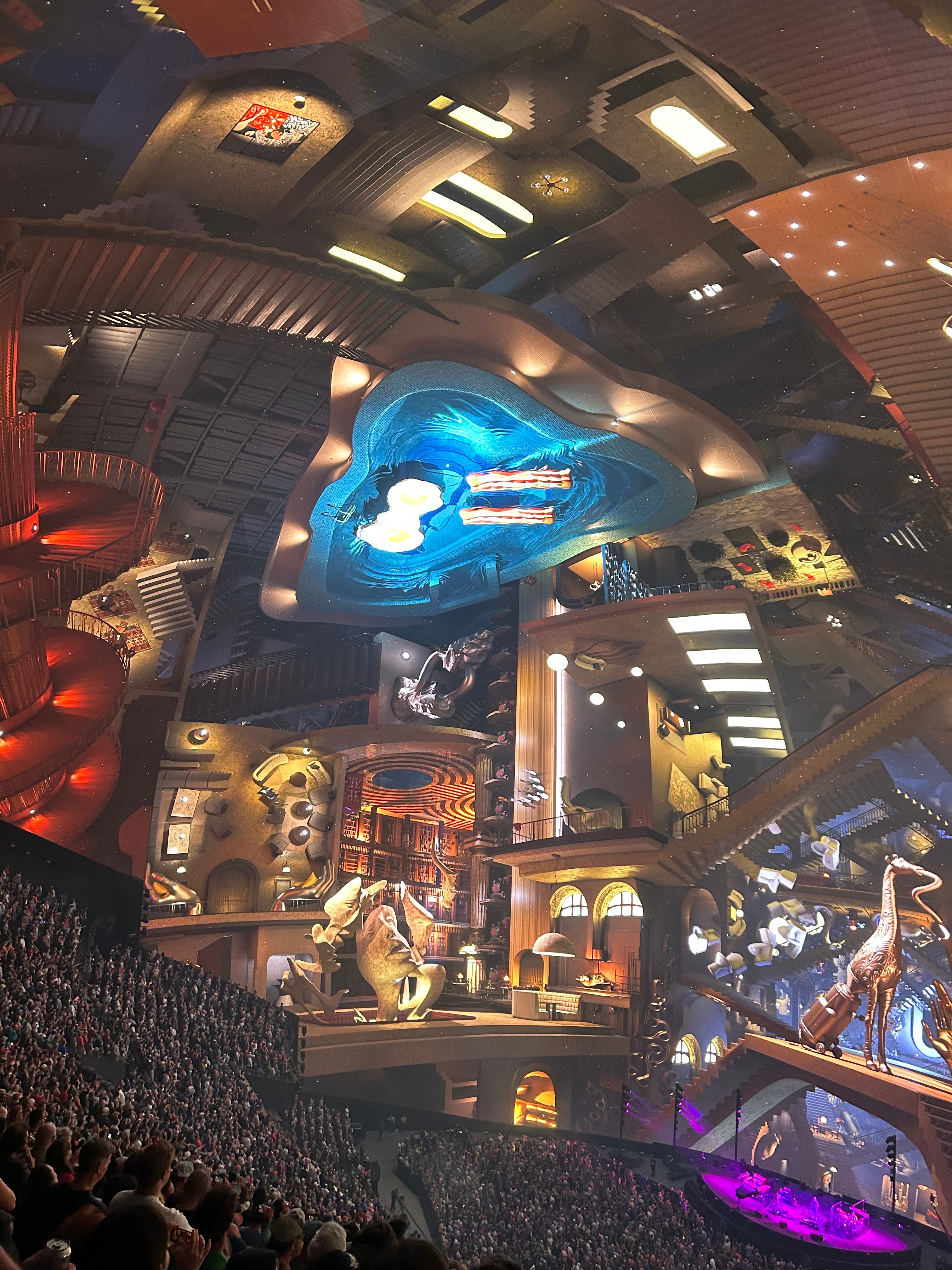
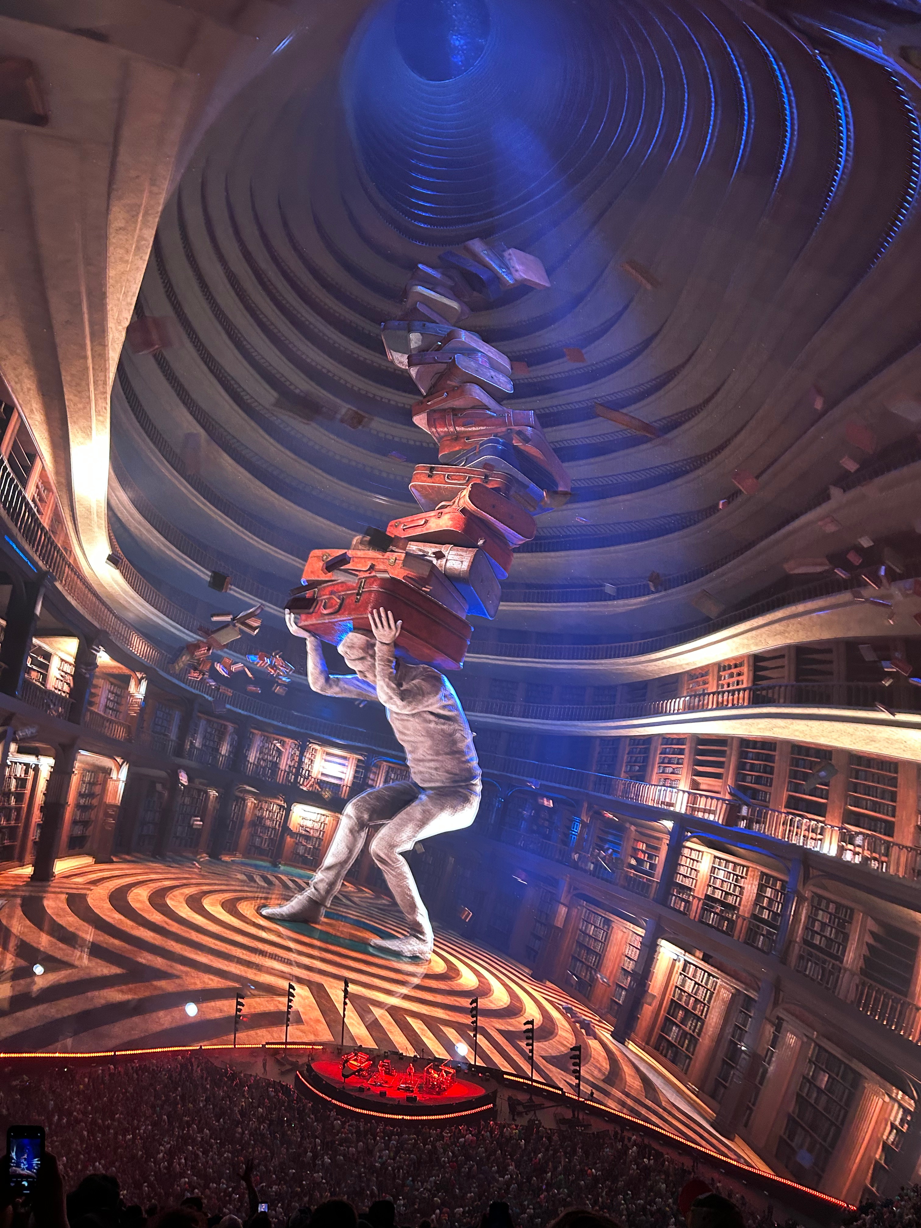
They utilized every possible visual and sound effect throughout the emtirety of the show. Photos don’t really show the visual effects well, as every scene moved and flowed with the music. One of the audio effect highlights was Wave of Hope. The music traveled around the stadium, much like “the wave” would physically travel around a stadium. I don’t understand the music science here (like how they kept the sound so clean in such a large place, with no echo and the ability to have this kind of specific-location sound). All the visual effects were cool, but my favorites were the sky lanterns and an Escher-like maze of rooms, doors, and staircases. While I love Phish music from all eras, I was delightfully surprised to find that the majority was from my favorite era…the early jam songs plus the some soaring melodic tunes from the Rift/Billy Breathes era. They still sound amazing live despite touring for four decades. So glad we got to see them again.
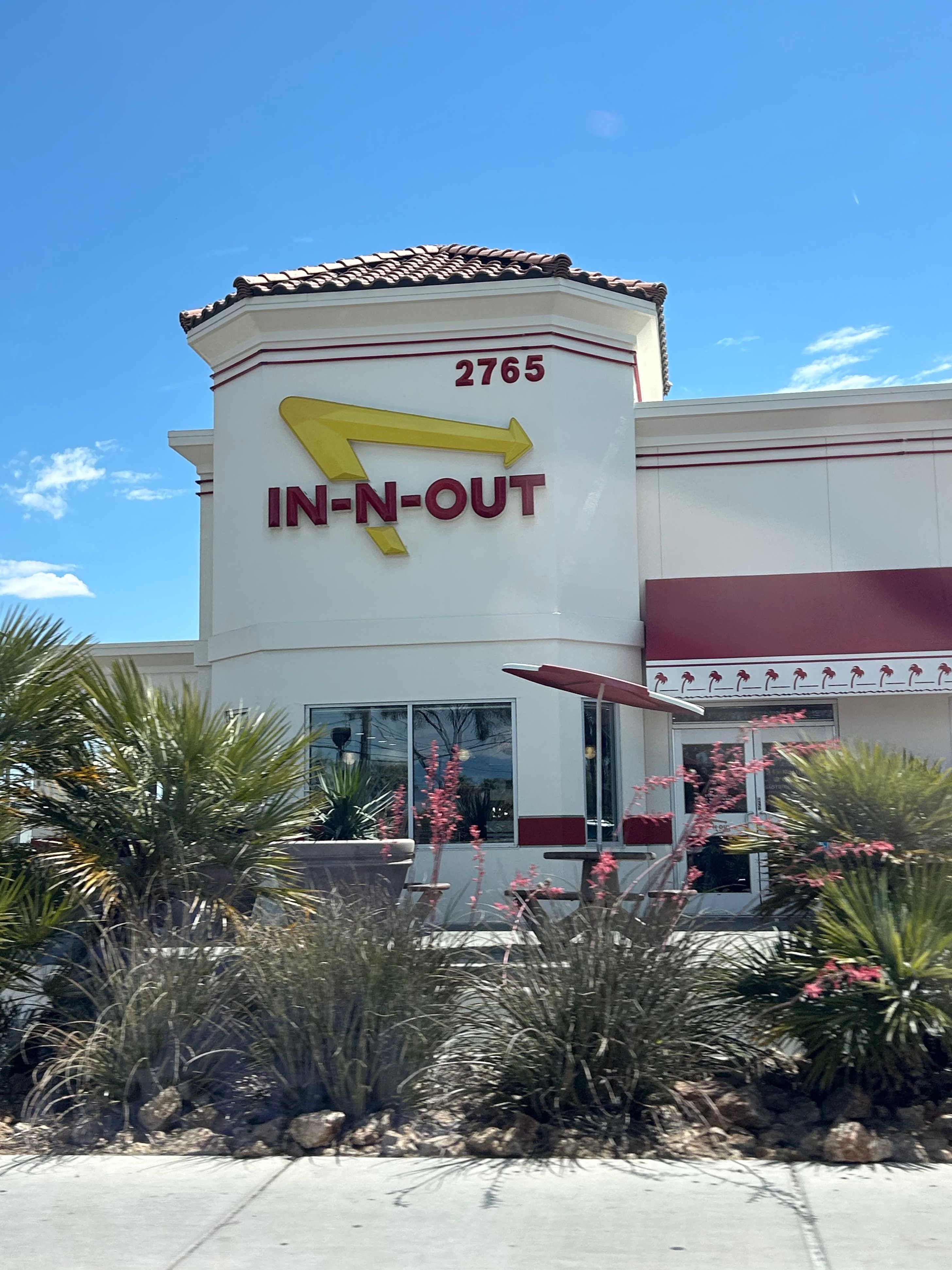
It felt like I had just put my head on the pillow when the alarm went off, but it was time to hit the road again. Lines were long at all the fast breakfast places, so we decided to get breakfast on the road. After navigating security, baggage, and valet, we headed out of town and stopped at In & Out for breakfast. Or so we thought. At 10:30, they were open and busy, so we just assumed there would be breakfast. Turns out they serve burgers around the clock. So, a hamburger for breakfast; this definitely wasn’t helping my ever-sliding grasp of what time it was. I was doing so good with the time changes until Vegas; then we went into Pacific time, stayed up all night one night, slept part of the next day, and stayed up late again. So burgers for breakfast kinda broke my mind.
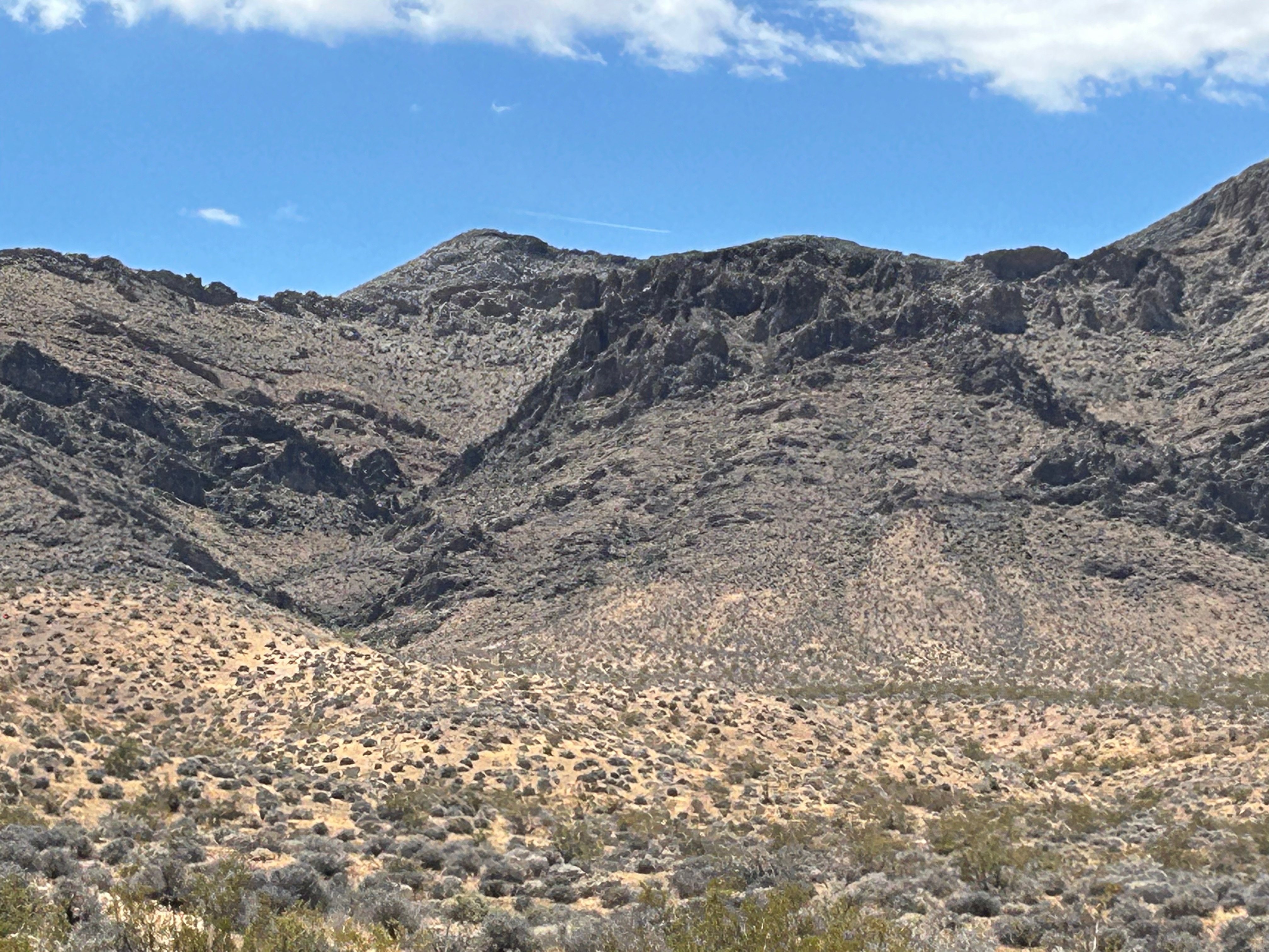
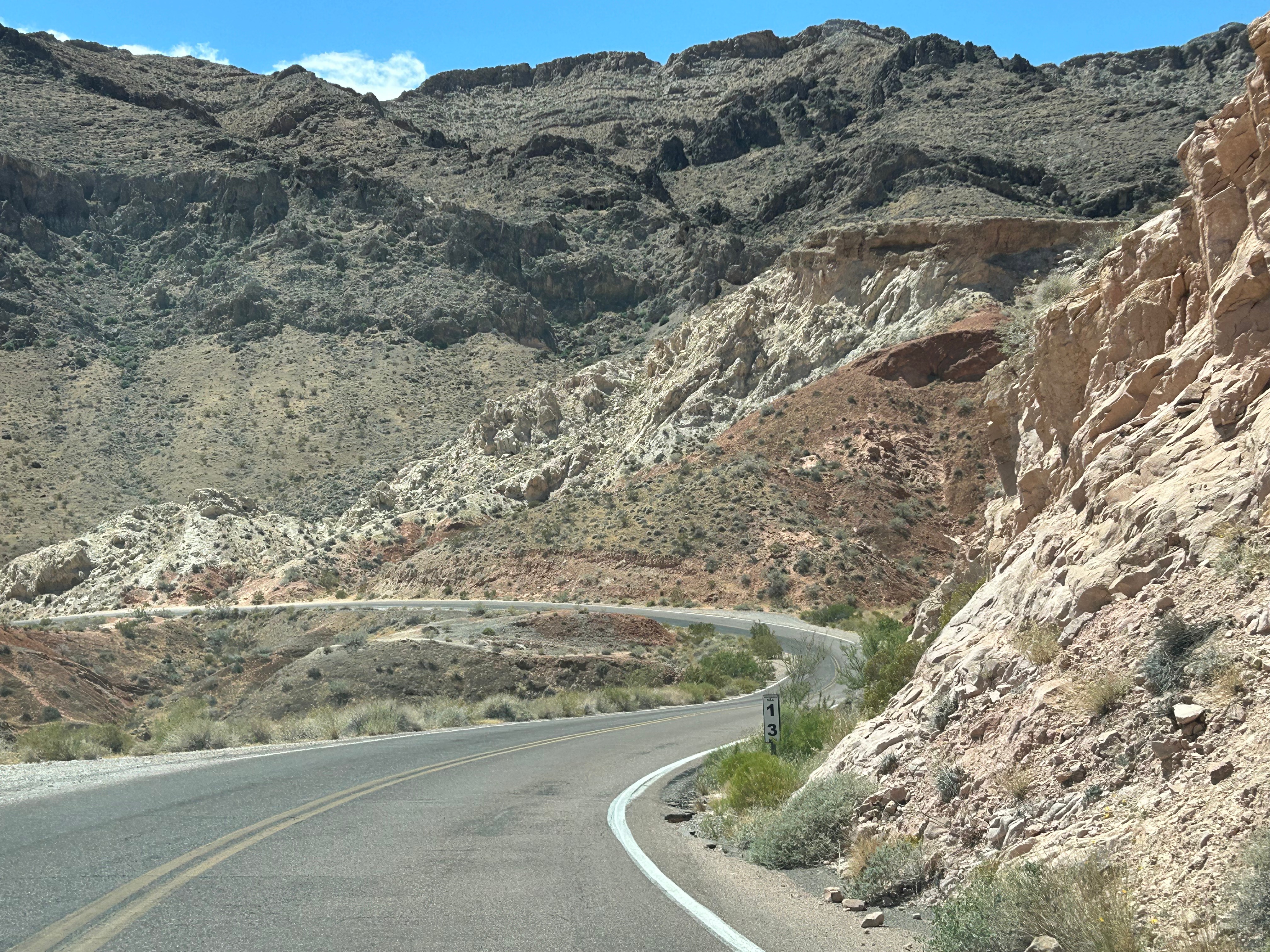
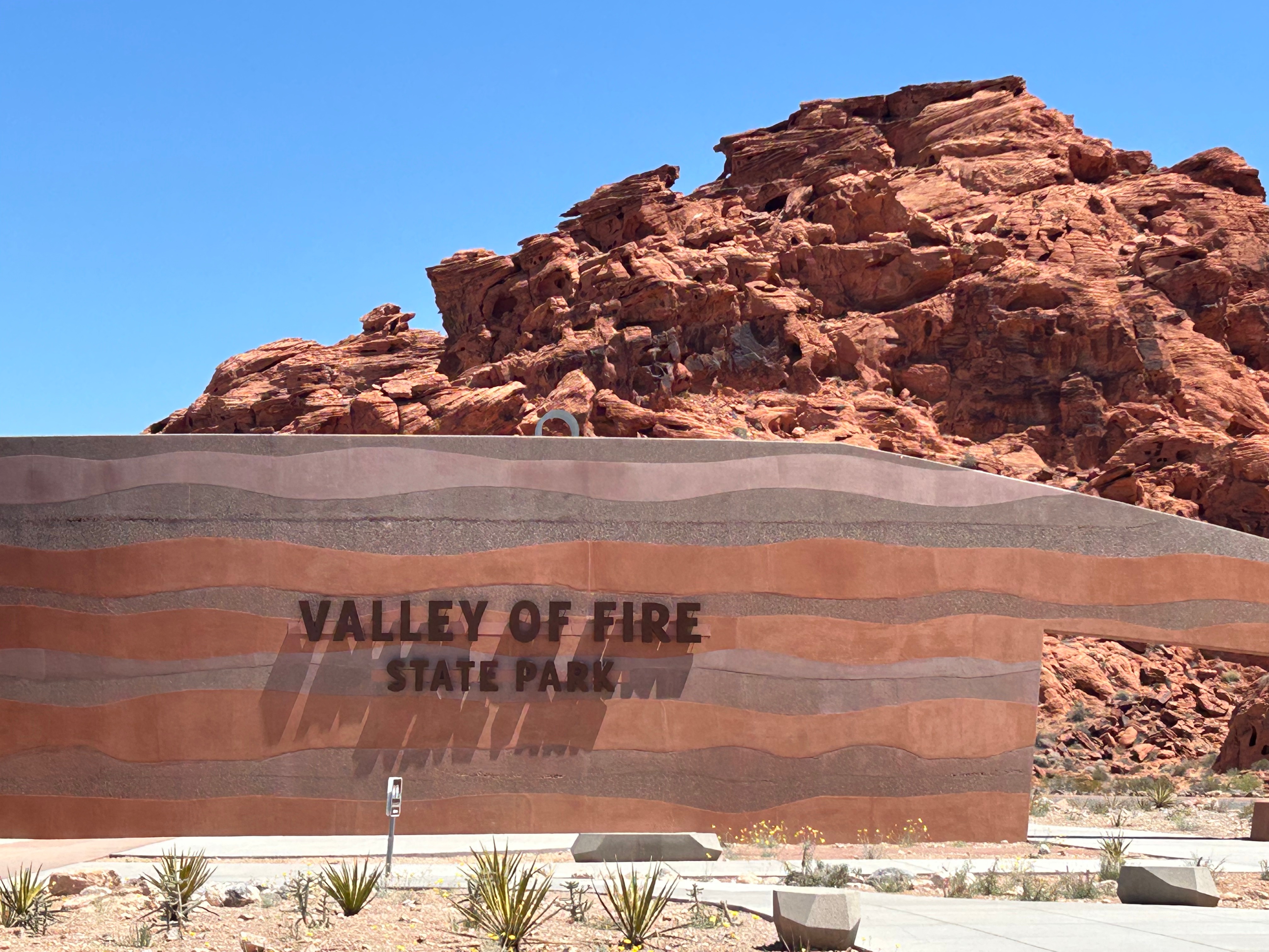
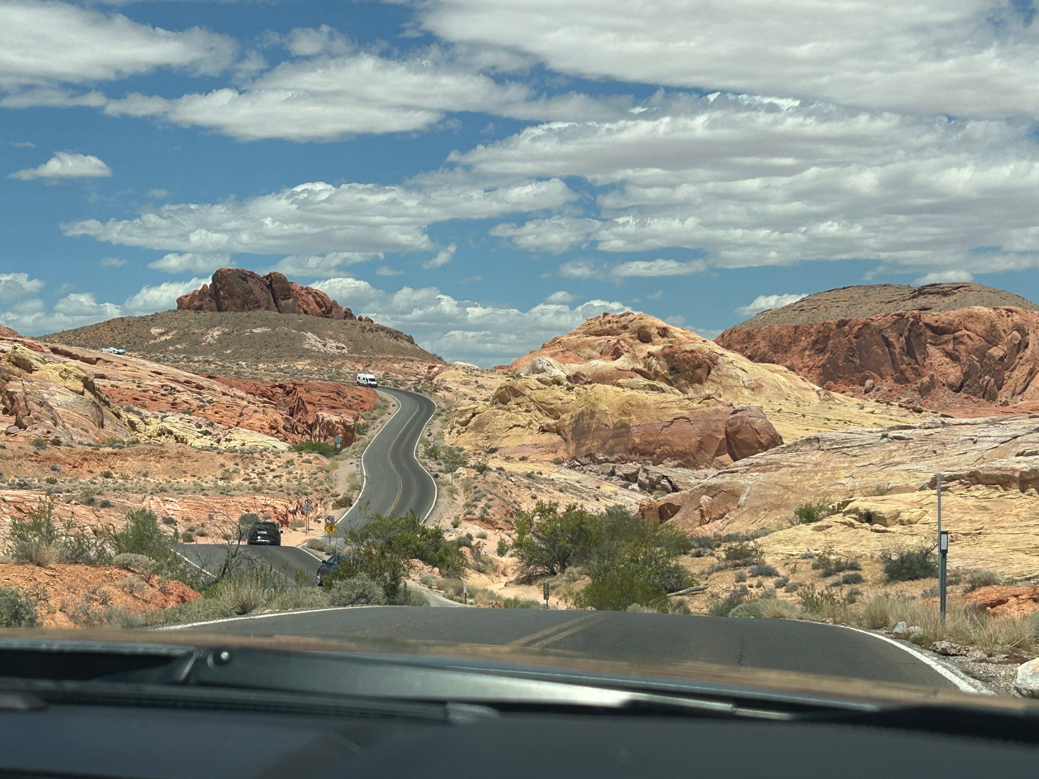
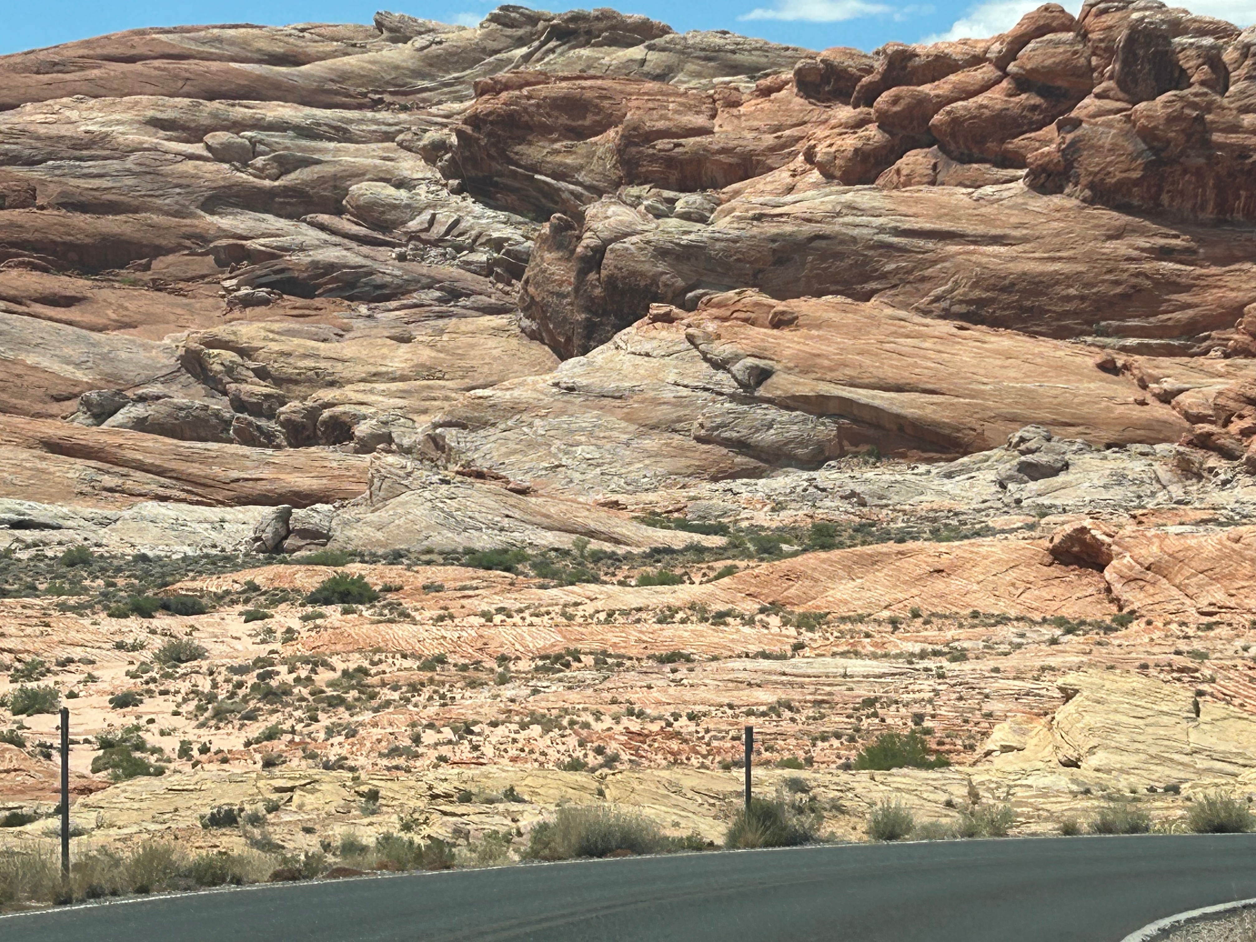
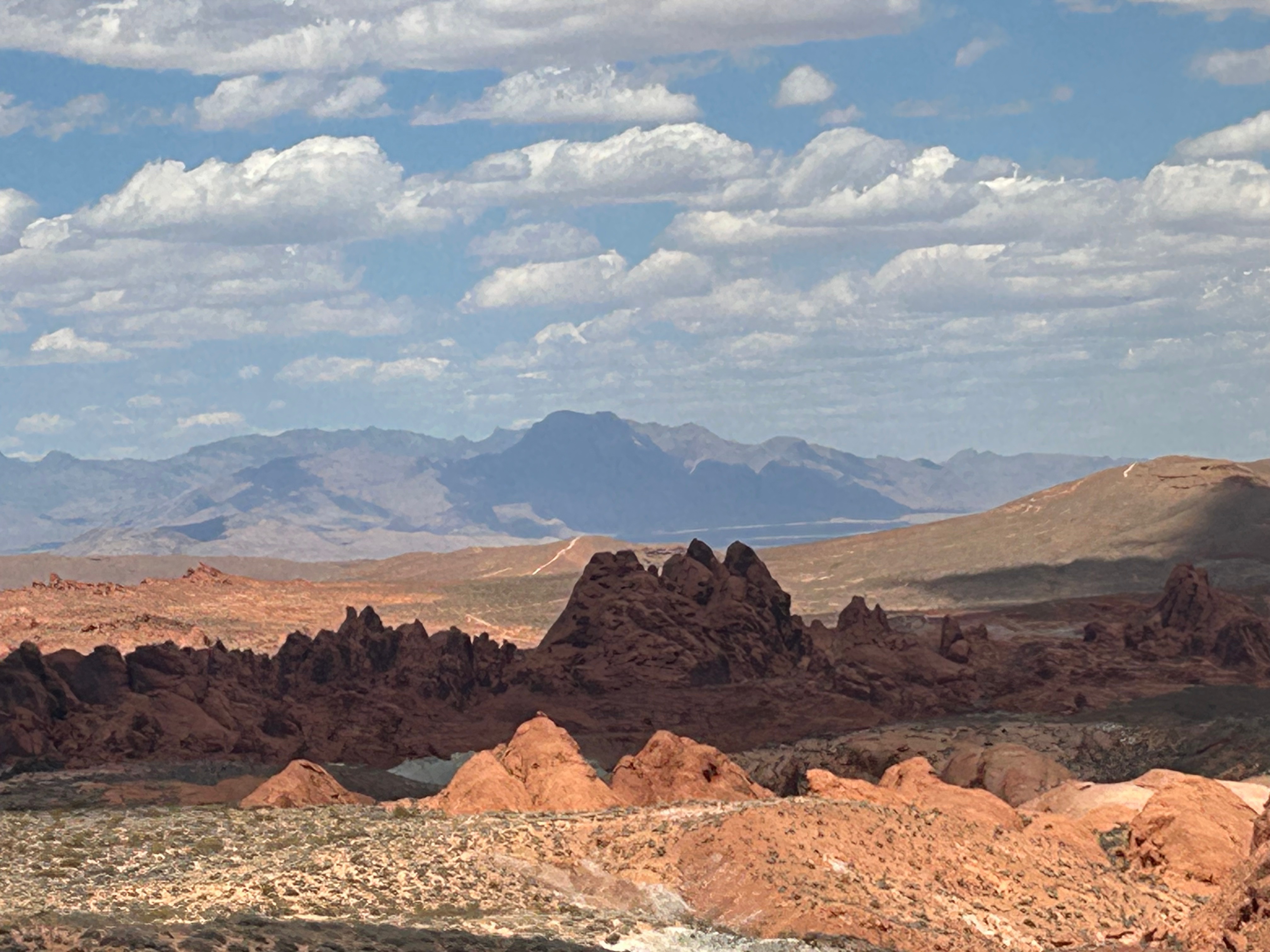
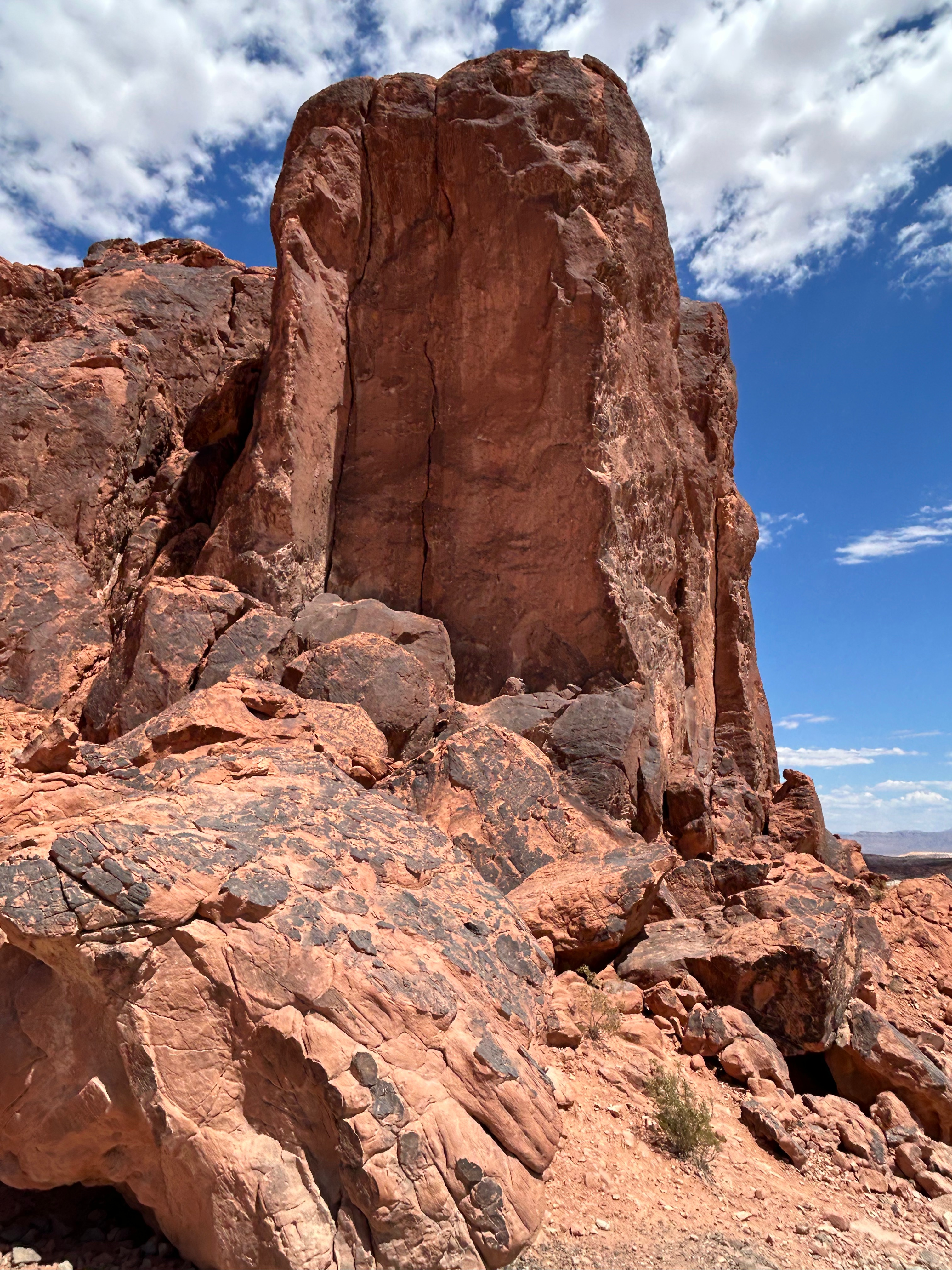
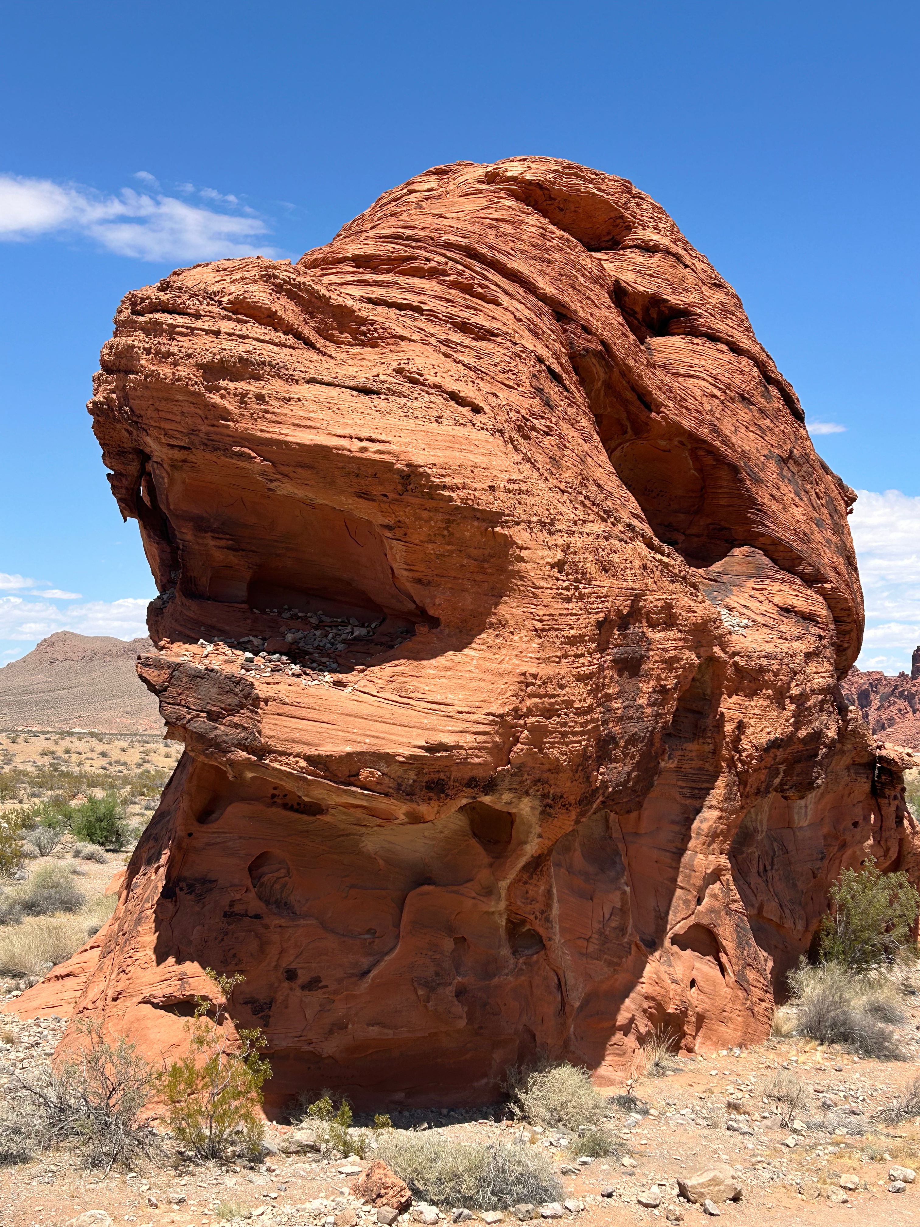
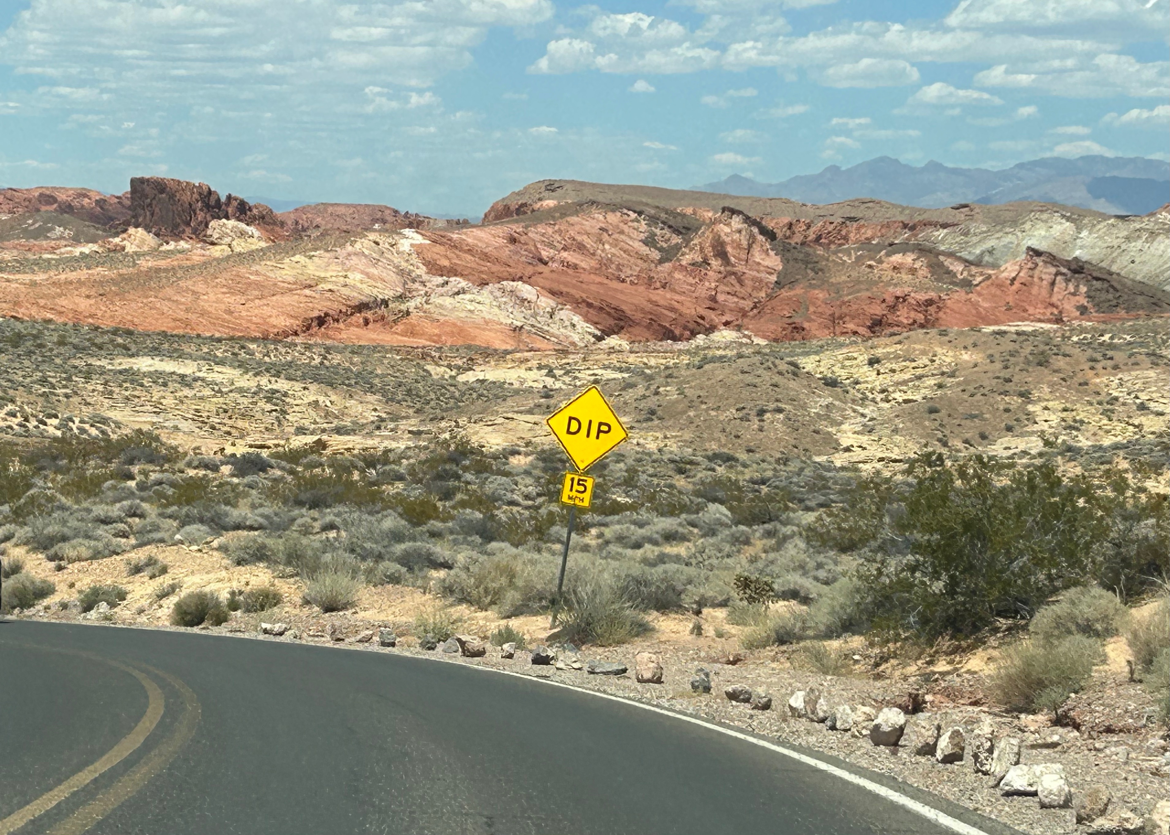
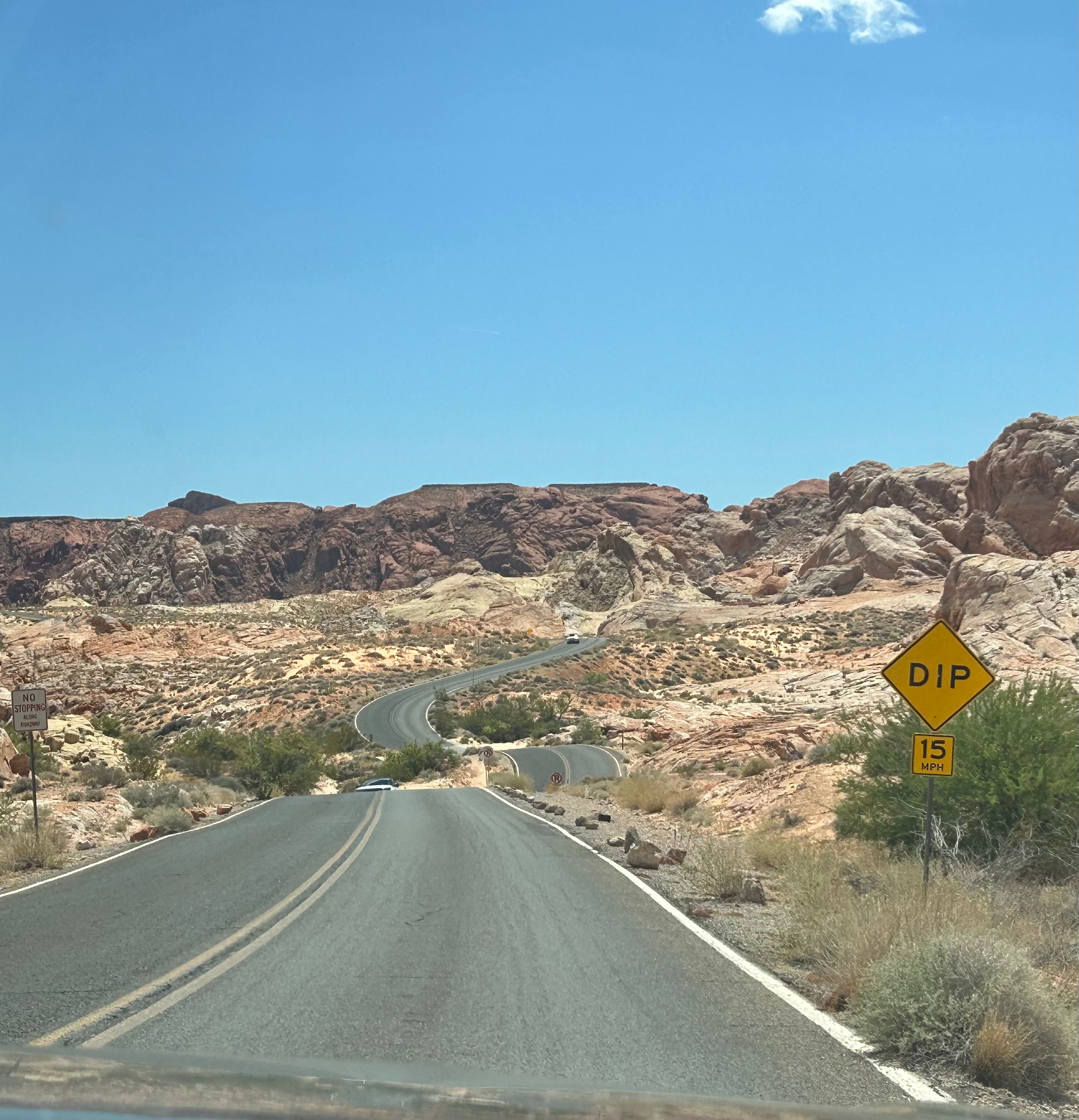
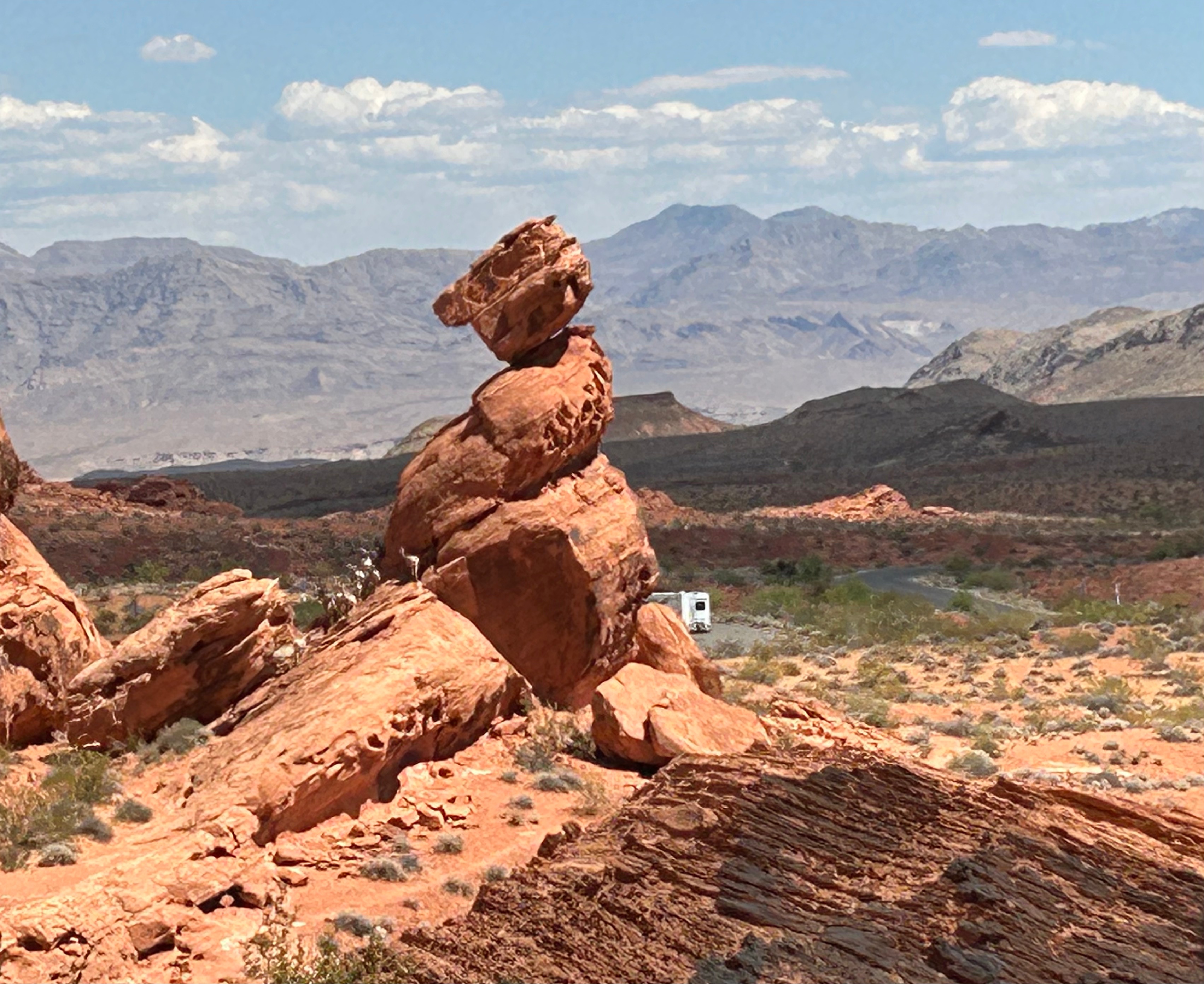
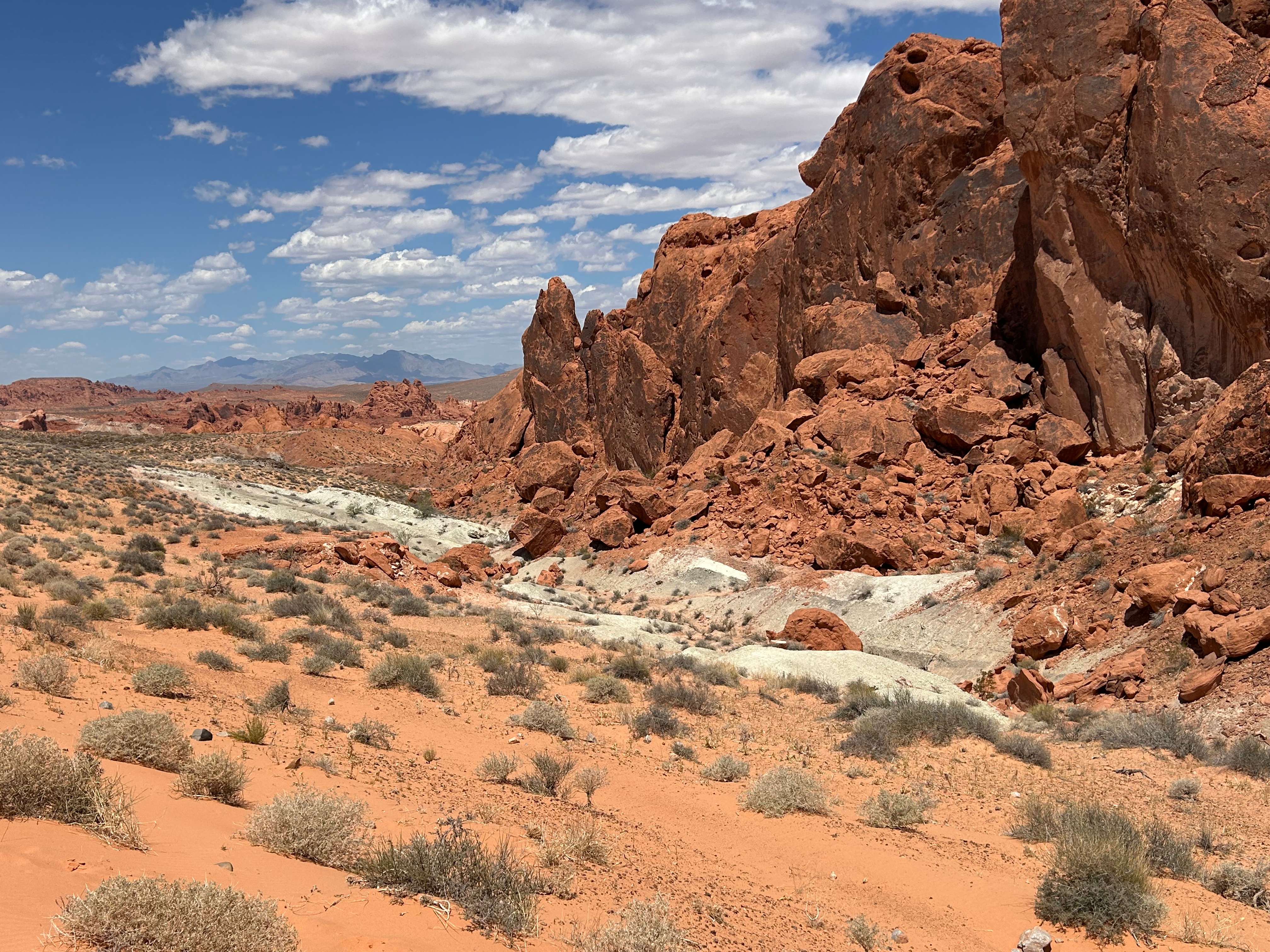
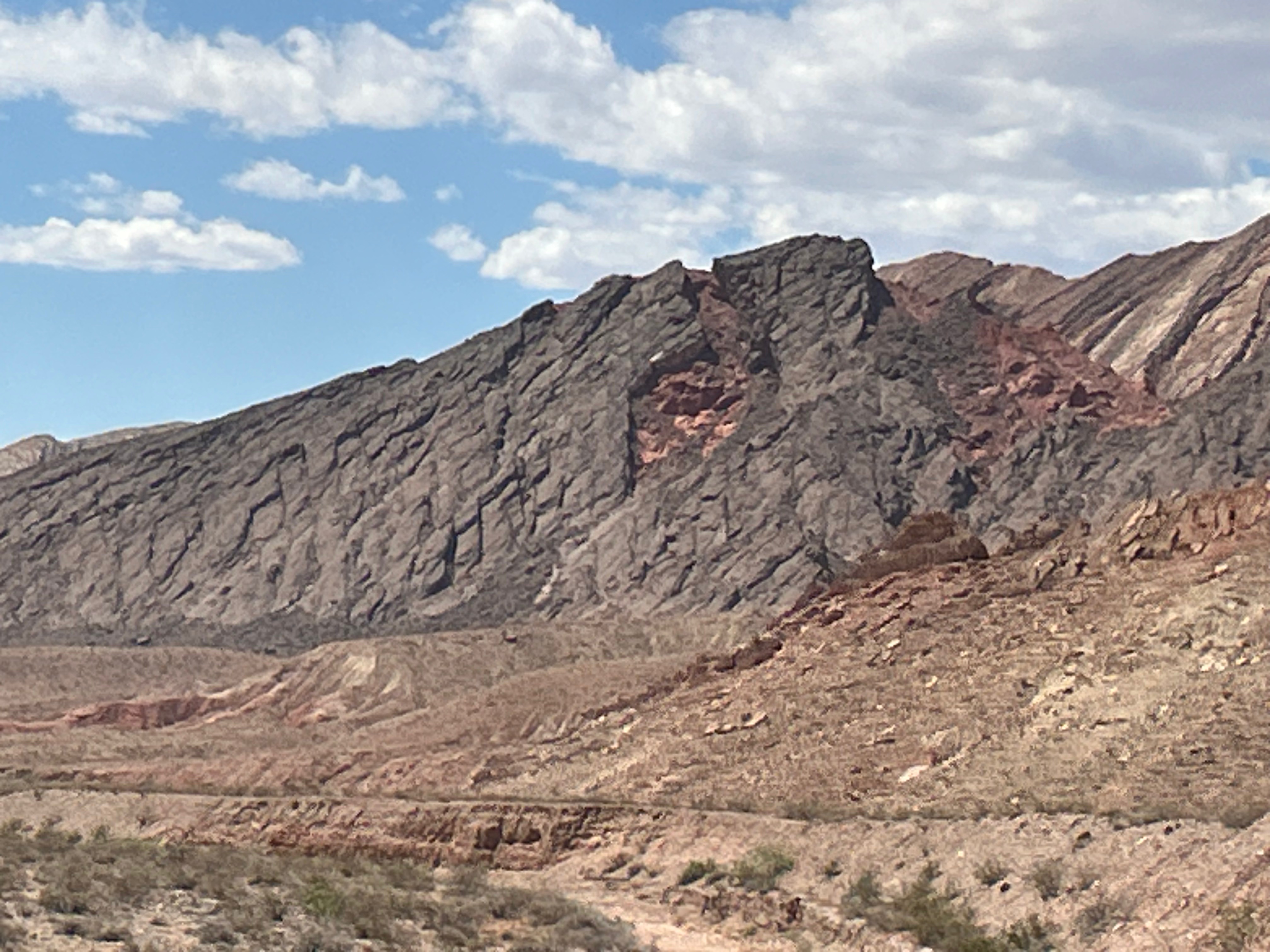
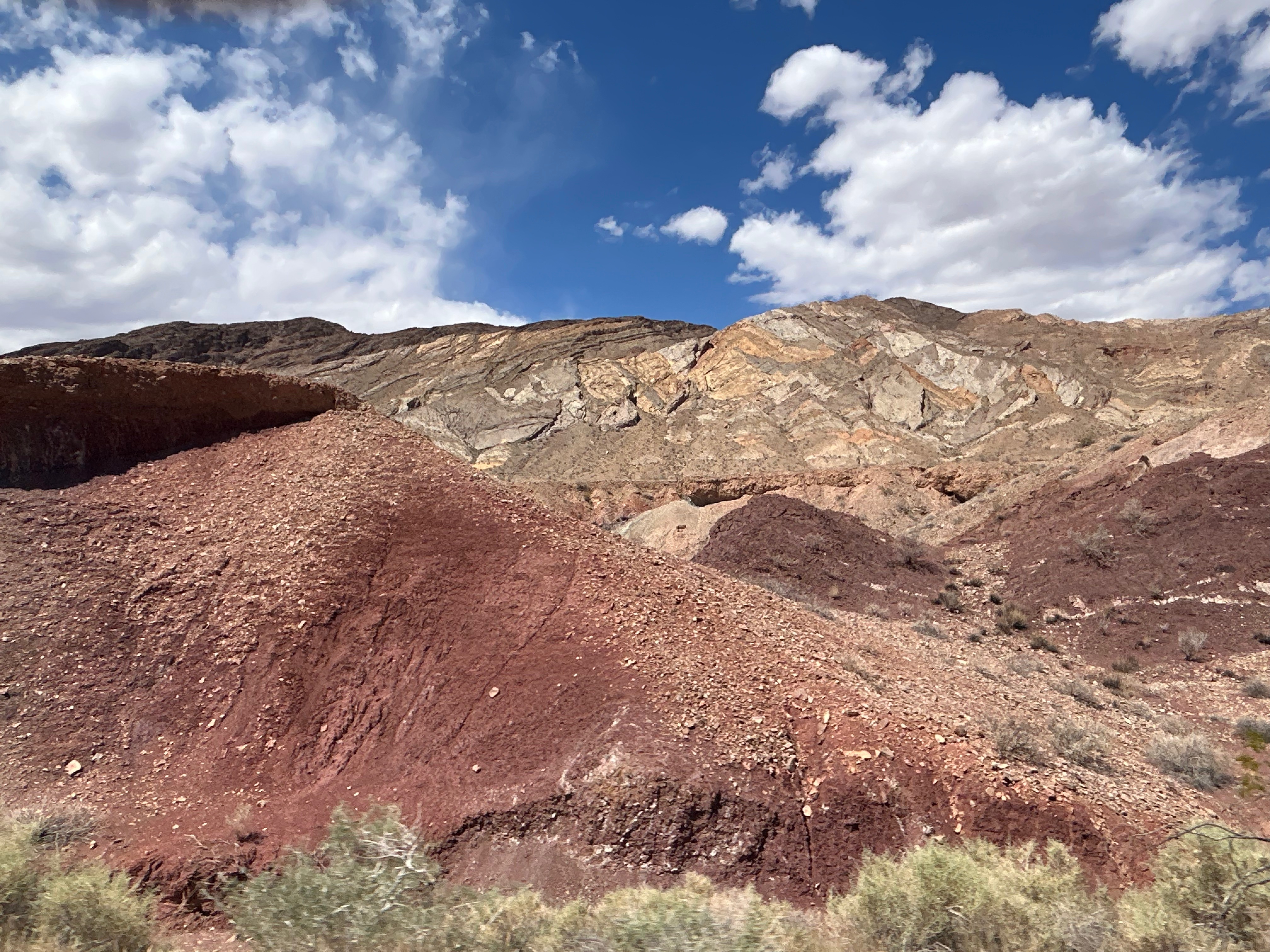
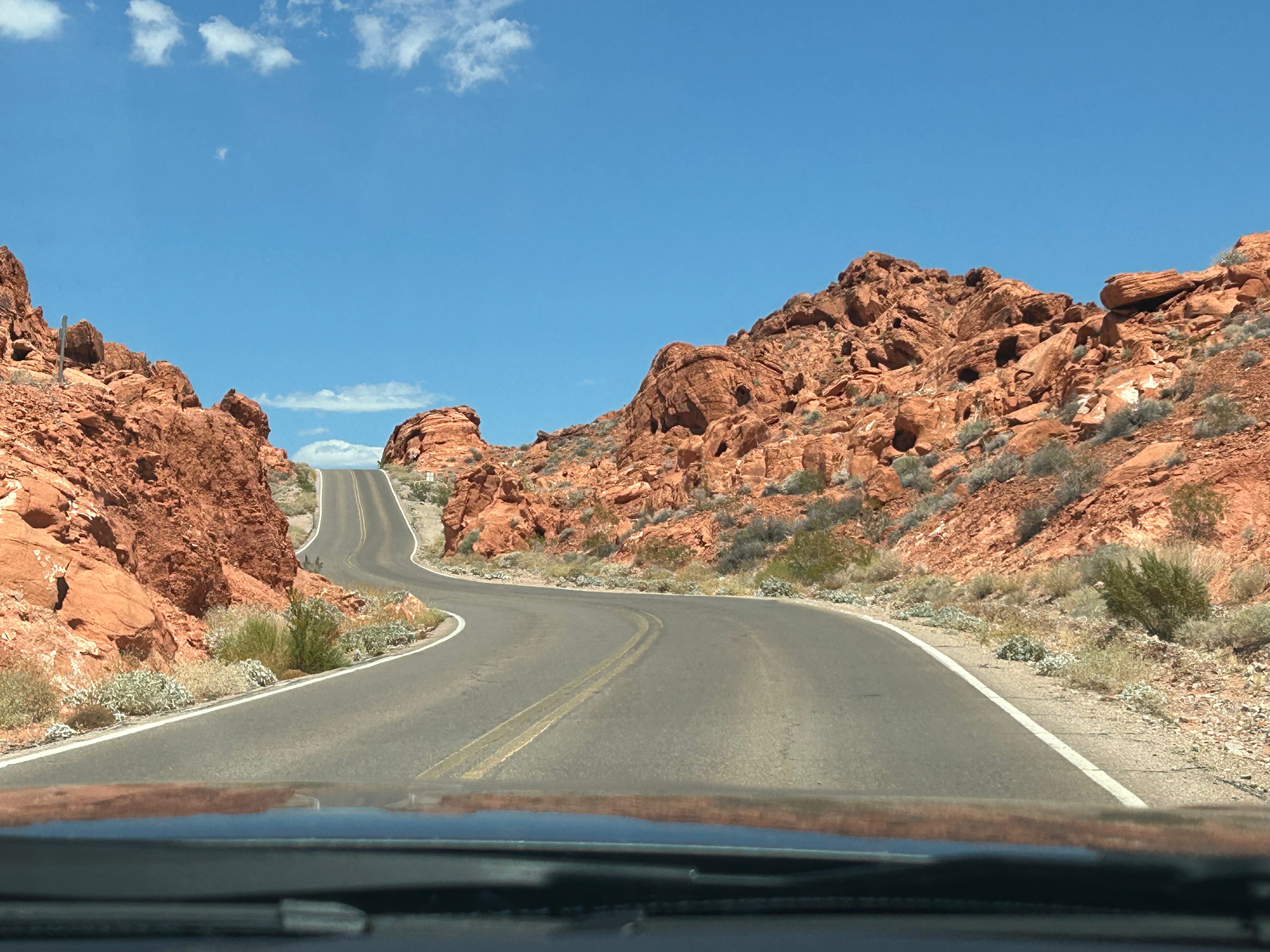
After food, we zoomed off towards the desert to the Valley of Fire State Park. We took all three scenic roads through the area: The Valley of Fire Highway, White Domes Road, and the Northshore Road. The roads in, through, and out were all filled with red sandstone and limestone formations.
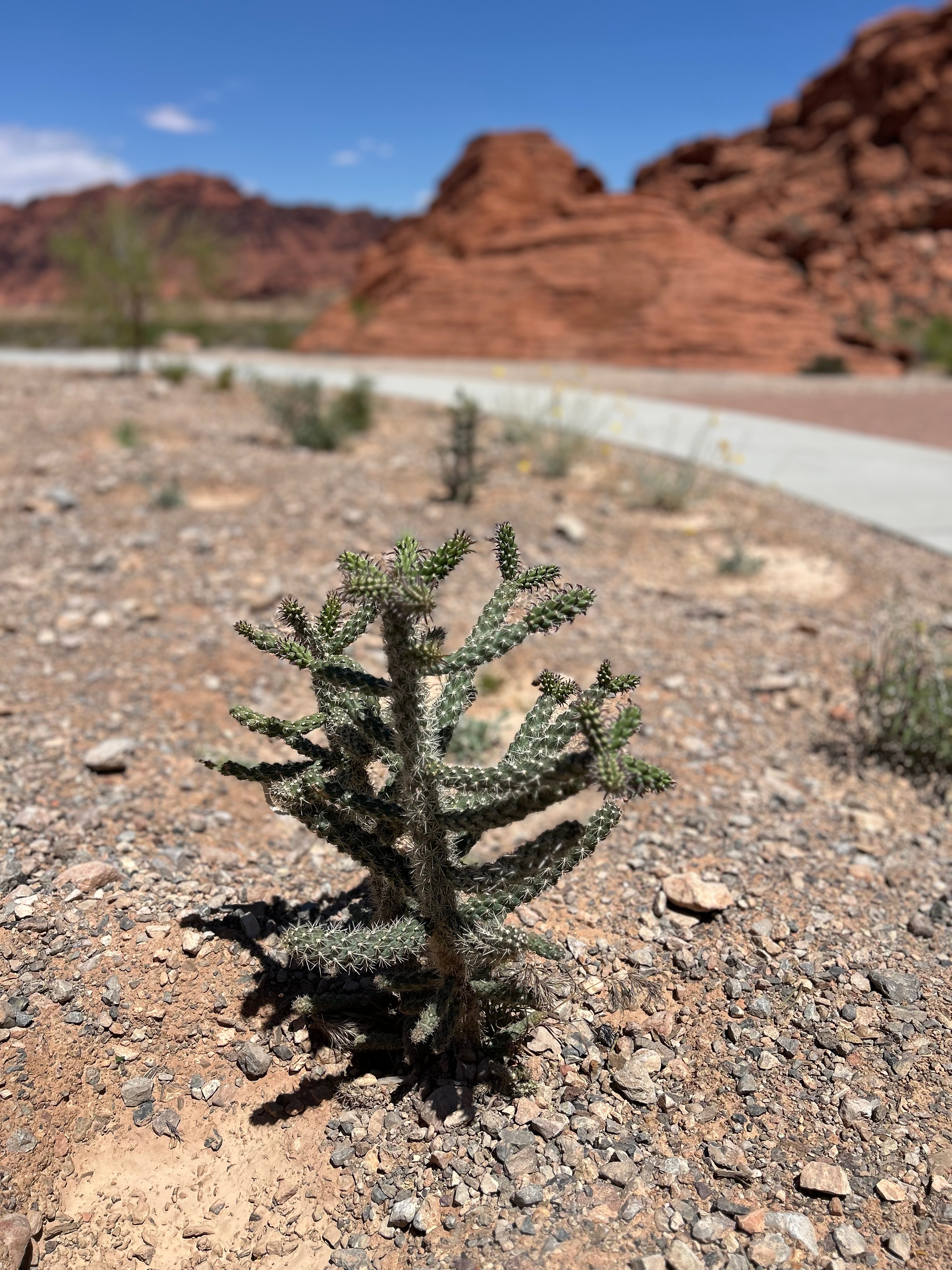
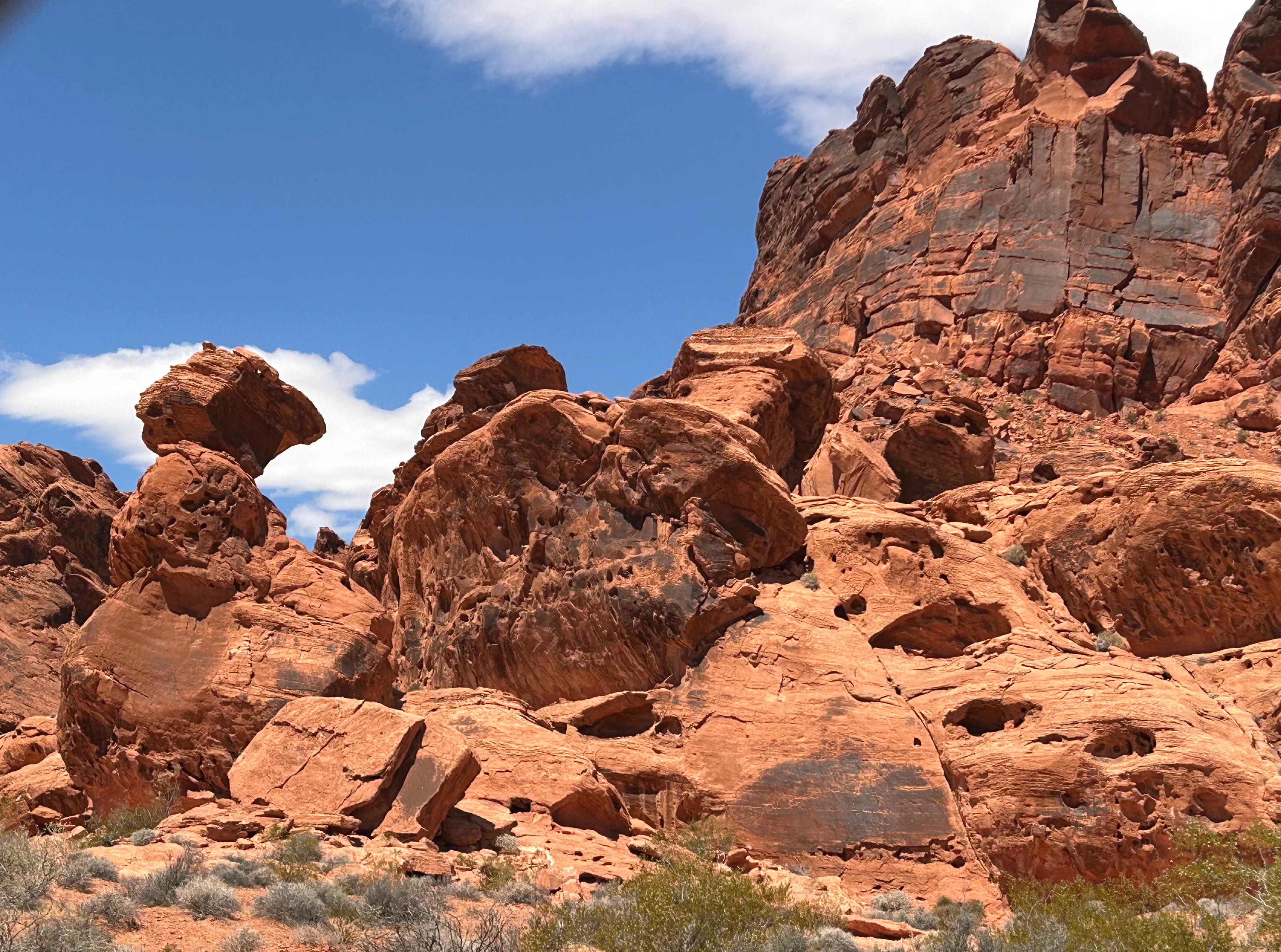
Turns out, most of the trails were closed from May to September because of the heat…and here we arrived on May 1st. We spent the earlier part of our trip dealing with areas closed from September to May because of snow/ice, so this heat-based closure was quite ironic. The heat is so problematic that they have covered parking for all vehicles. We did stop at one of the trails that was open (the Fire Waves trail), so I could take a short walk. The warning signs everywhere were a little daunting (“Heat Warming. You Might Die.”). Temps were only in the low 90s, so I wasn’t too concerned. Soon, even on my short walk, I understood the warning a little more. The sun was brutal and oppressive. And the heat not only came from overhead, but was also emanating up from the hot sand. There was a little breeze, but it felt like when you open the over door…dry and hot. I got to see some cool arches, a few lizards darting from shrub-to-shrub, and one of the beehive formations.
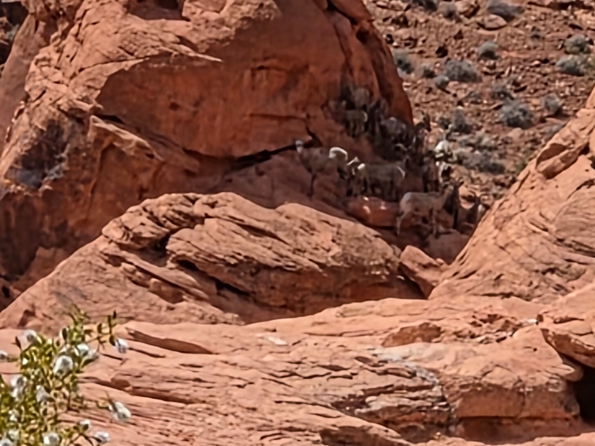
Feeling like I’d gotten a taste of the desert trail, I turned back to continue our scenic route through the park. Fun fact: Star Trek Generations was partly filmed here. As we rounded one corner, I saw in the far distance a herd of Big Horn Sheep up on a rock in the shade. Finally! We’d seen signs for Big Horn Sheep ever since South Dakota, but I had given up on seeing one at this point.
The route out of the park was still scenic, with some great winding roads. We weren’t tired of the ever-changing scenery, and Thom wasn’t tired of driving…so it was a delightful drive. While it was no match to Scenic Byway 12 in Utah, this is still a great driving road if you’re ever in this part of Nevada.
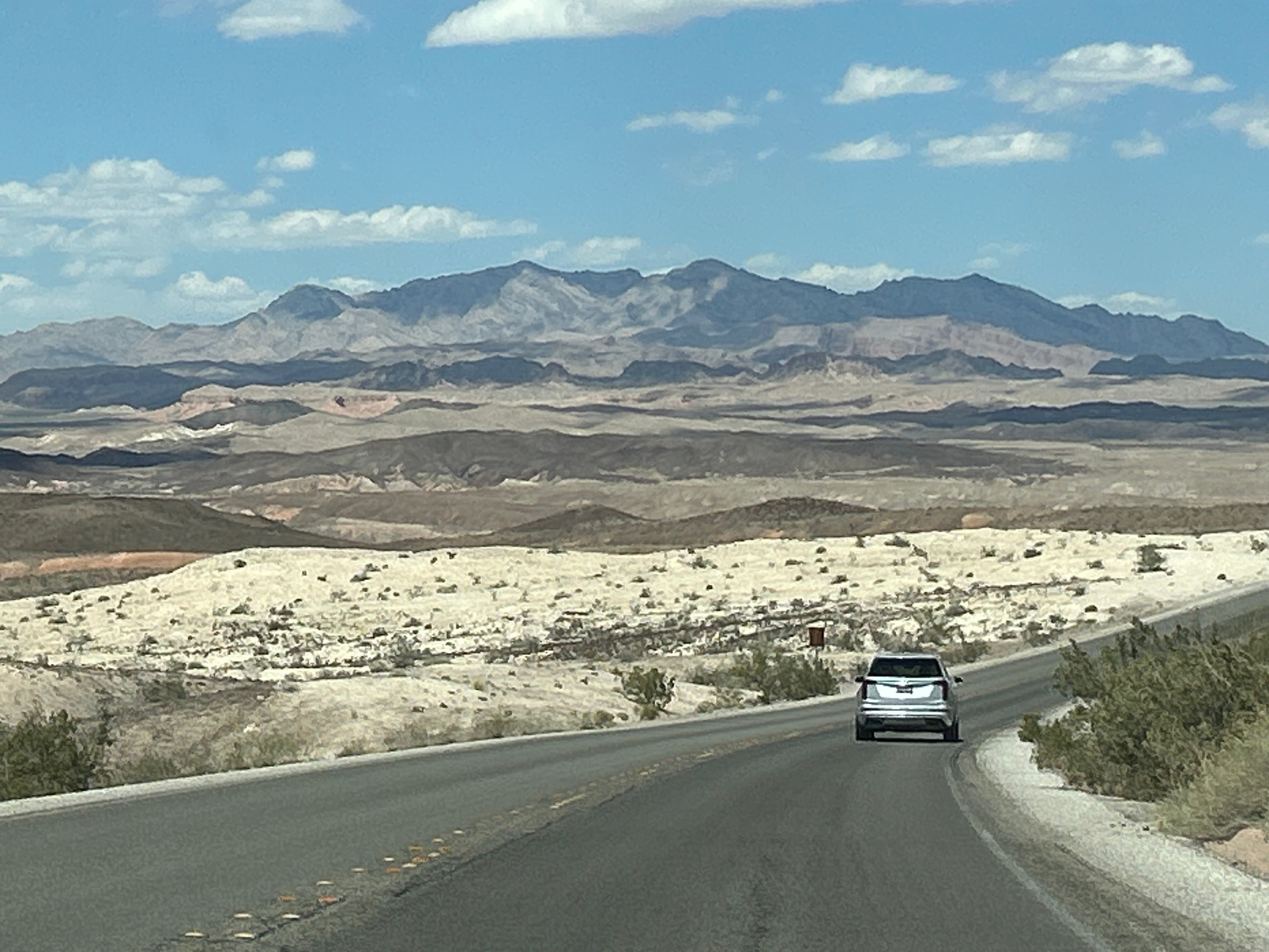
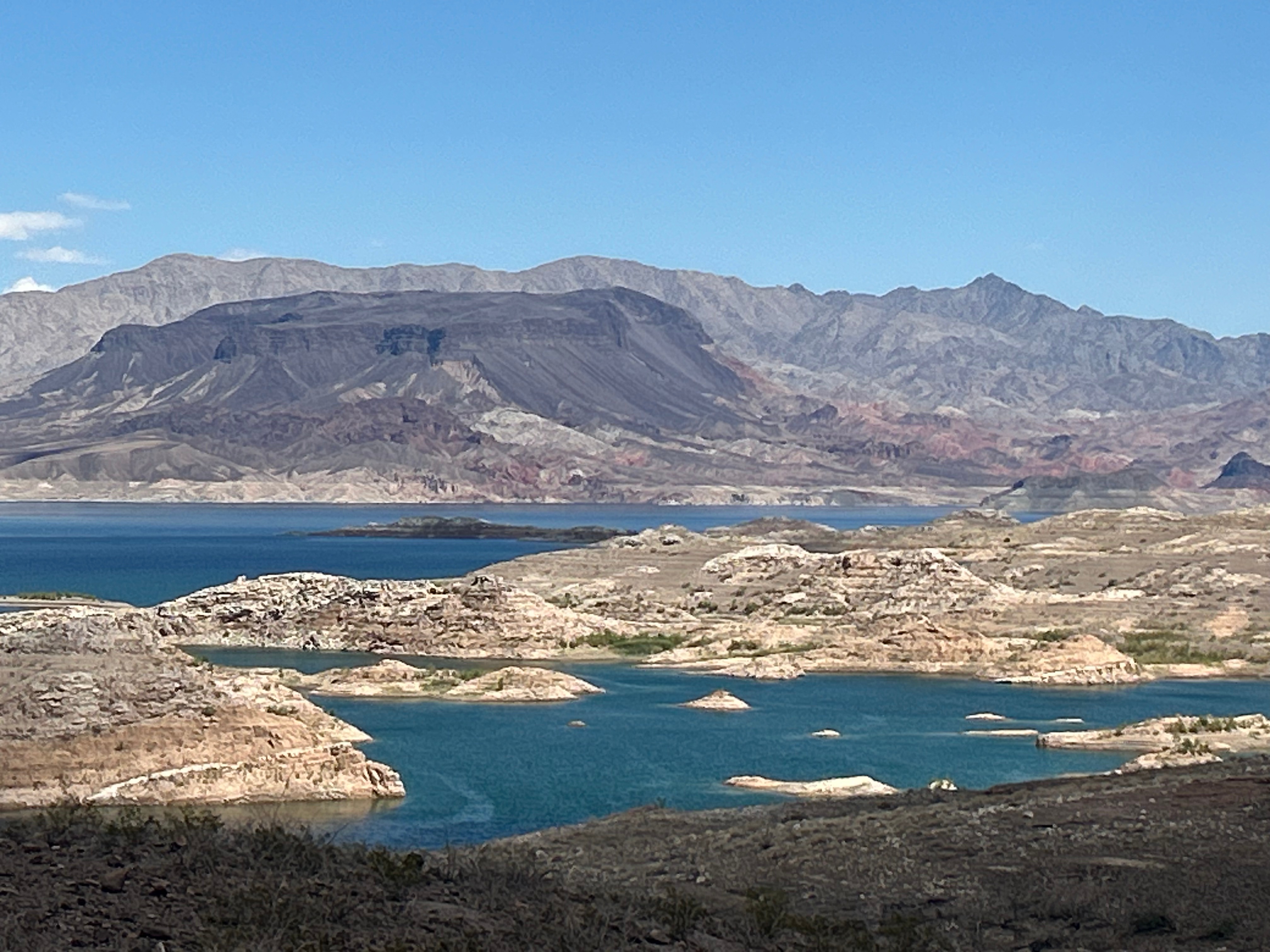
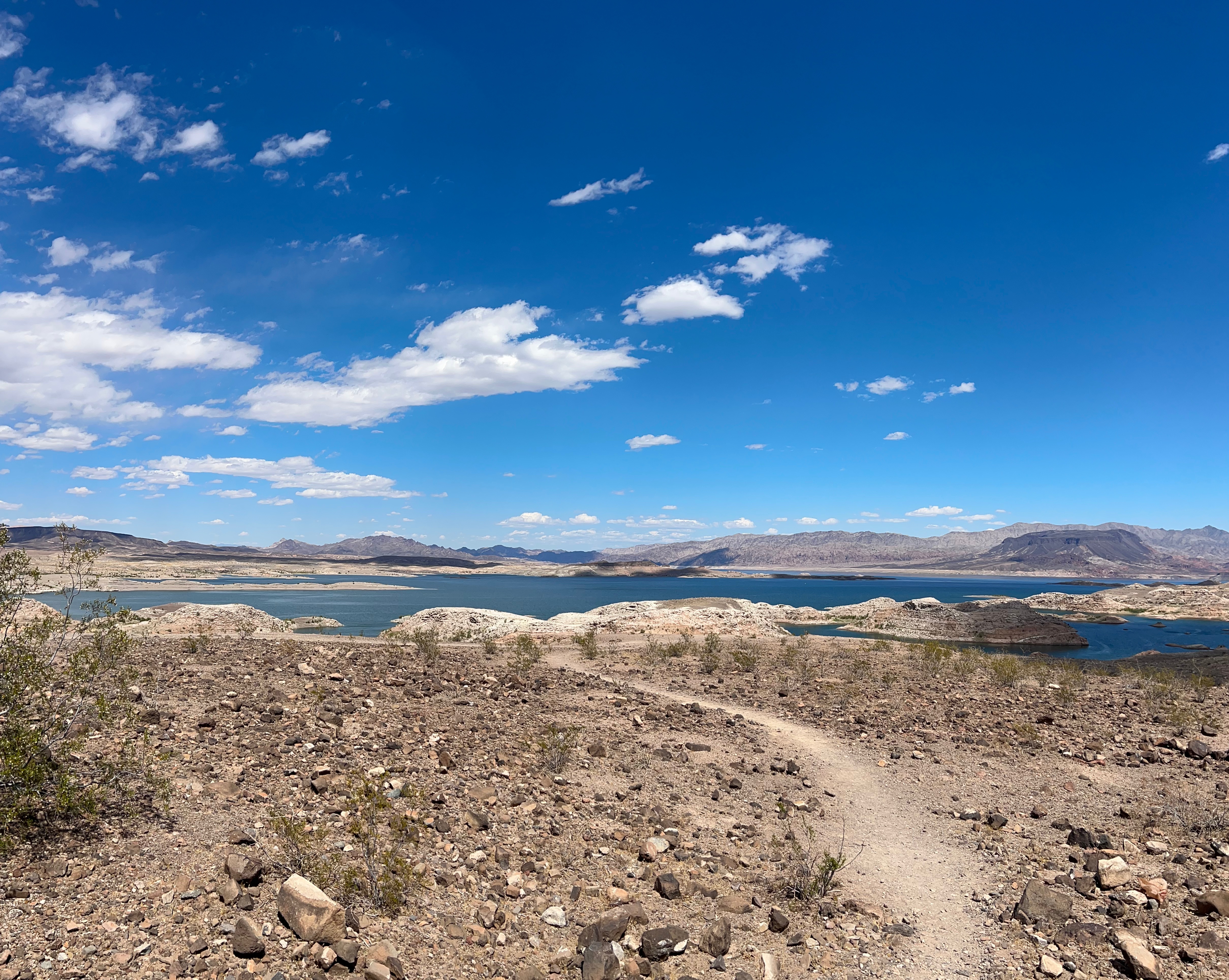
Our next stop was Lake Mead. The route gradually approached the lake, allowing us several spectacular views along the way. Honestly, the driving views were better than the view from the Visitor Center. We enjoyed all the exhibits, movie, and shopping before heading off again. We were originally going to picnic there, but it was oppressively hot outside.
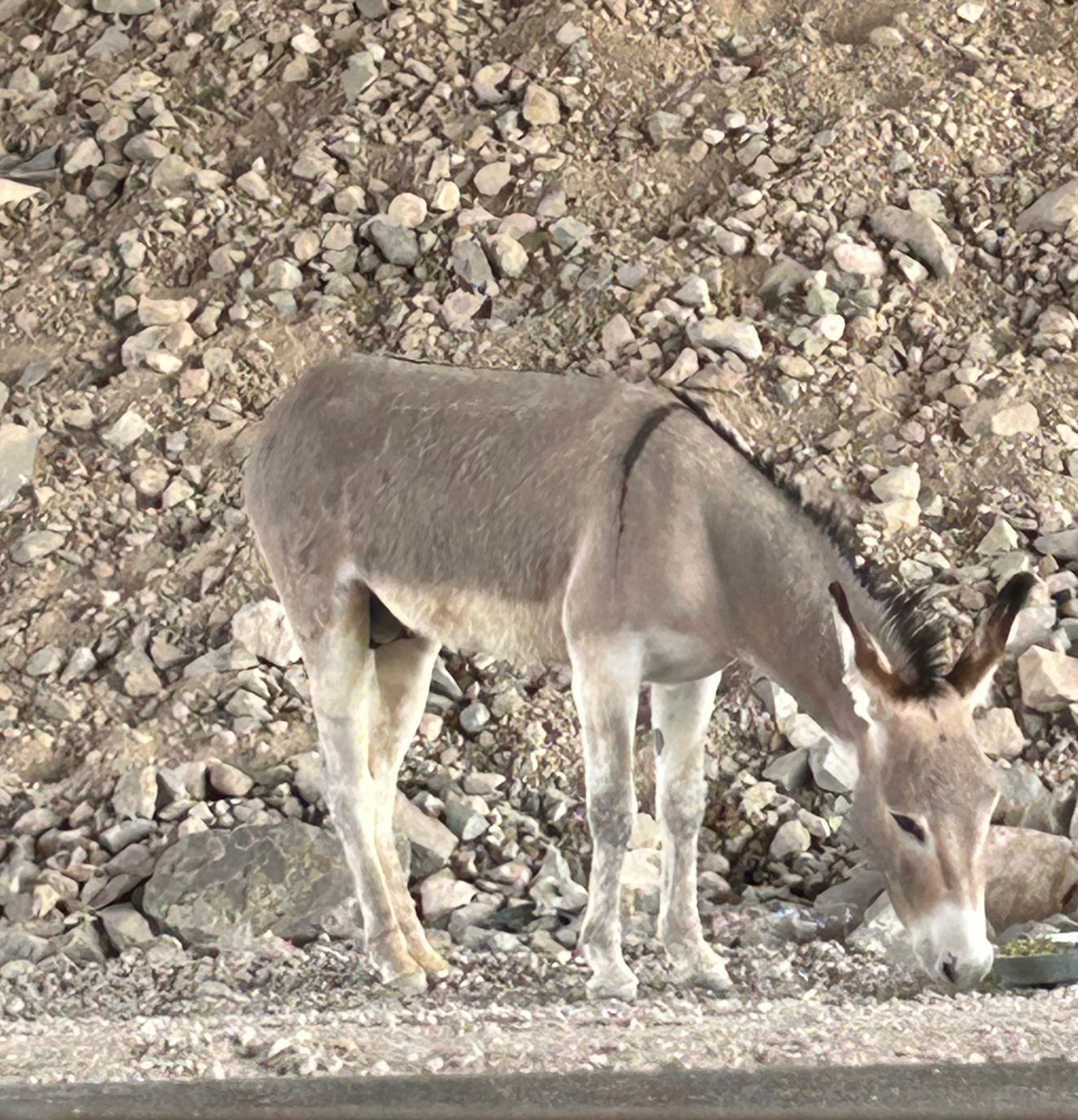
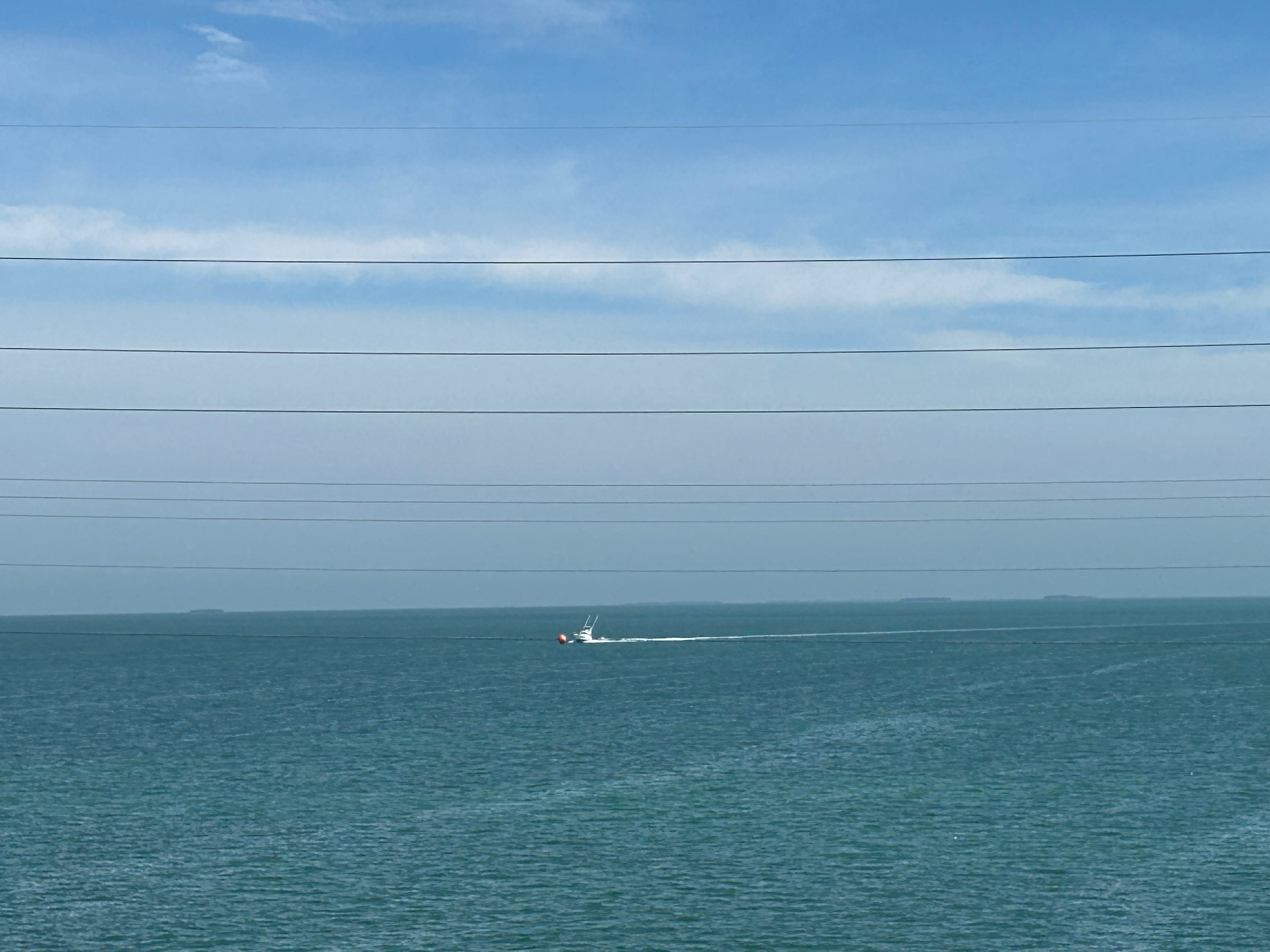
Next stop, Hoover Dam. Somehow, we got turned around leaving Lake Mead and headed west instead of east for a minute. We ended up with a brief driving tour of Boulder City NV before correcting course. (Honestly, we’ve done pretty good to not get lost before this point in the trip!) We got onto the access road that would take us to see Hoover Dam. We weren’t on the road long before we caught up to other cars and then signs for the security area we would have to pass through. It referenced car searches and K9 dog searches. We didn’t want to sit in traffic or deal with a search of our very full/tightly packed car…plus I really didn’t want to deal with dogs. So, we abandoned our plan and figured we’d see it from afar, while passing by it or from a lookout point on the other side of the road. Turned out, there are big walls on the road going by (so you can’t see anything while passing). We crossed the dam area and tried to get to the viewpoint marked on the map, but that little road was closed. During this pointless journey in our last moments of Nevada, we did see some wild donkeys, so maybe that’s cooler than a dam.
Our departure route was also altered from our original plans, also due to snowy weather. We planned to leave through the south exit, but instead had to go north and then west to get out. Saying goodbye to Wyoming, we entered another section of Montana. We weren’t on the road before long before we crossed over into Idaho. (I sadly don’t have a pic of the Idaho welcome sign because it was covered in stickers, which might have been cool if it wasn’t for the winter sludge remnant all over it.) The drive featured valleys peppered by mountains in the distance with the occasional town thrown in for flavor.
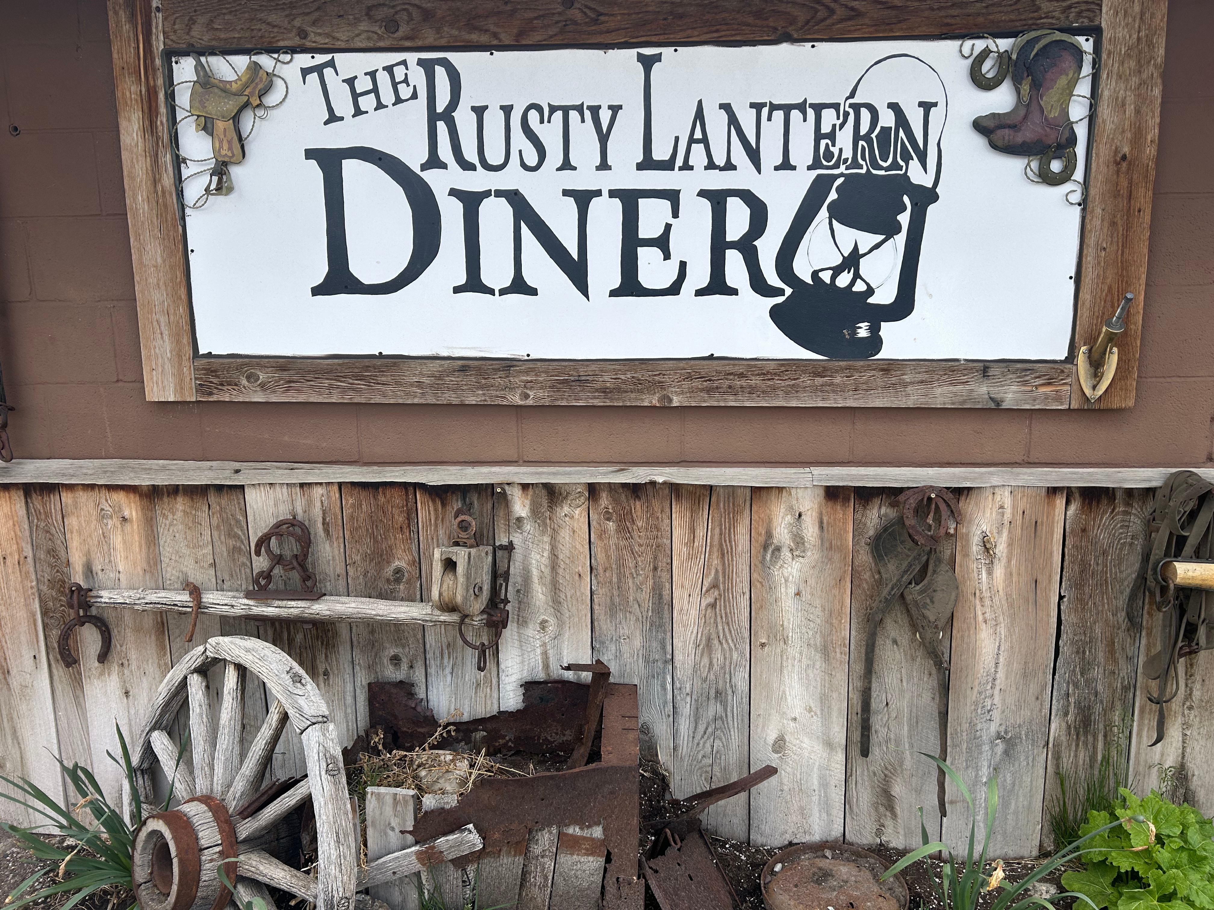
We searched for a local lunch spot along the way and found the oh-so-charming Rusty Lantern in Ucon. Stepping out of the car was a thrill because we had finally reached warmer temps. After spending days in the 20s-30s, it was glorious to step outside into the upper 50s. The restaurant was family-owned, and everyone was friendly. Better yet, the food was amazing. Seems like beef in this part of the country just tastes so much better. I don’t know if it’s fresher (being that there’s a lot of cattle up here) or if they just know how to cook it well.
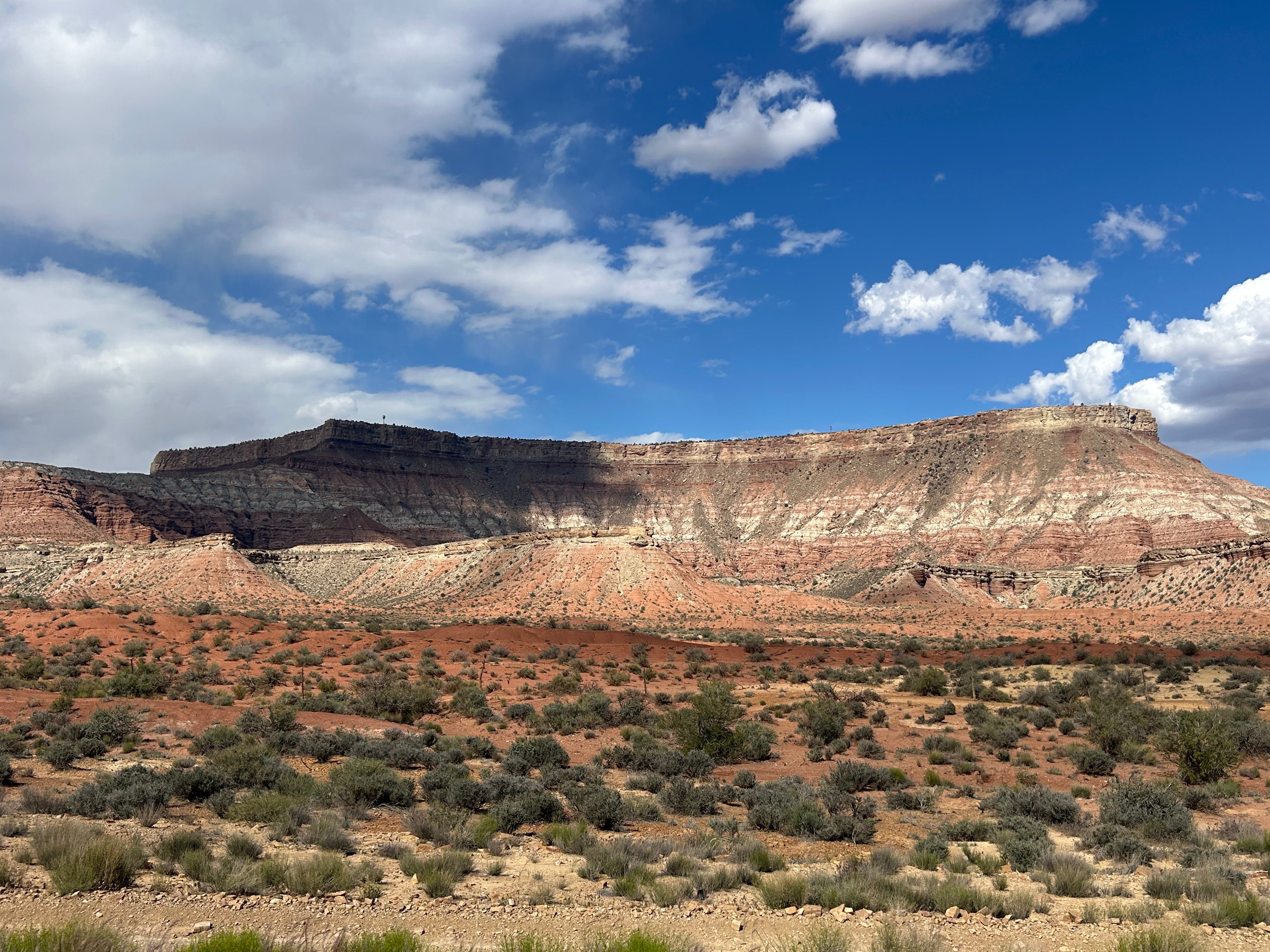
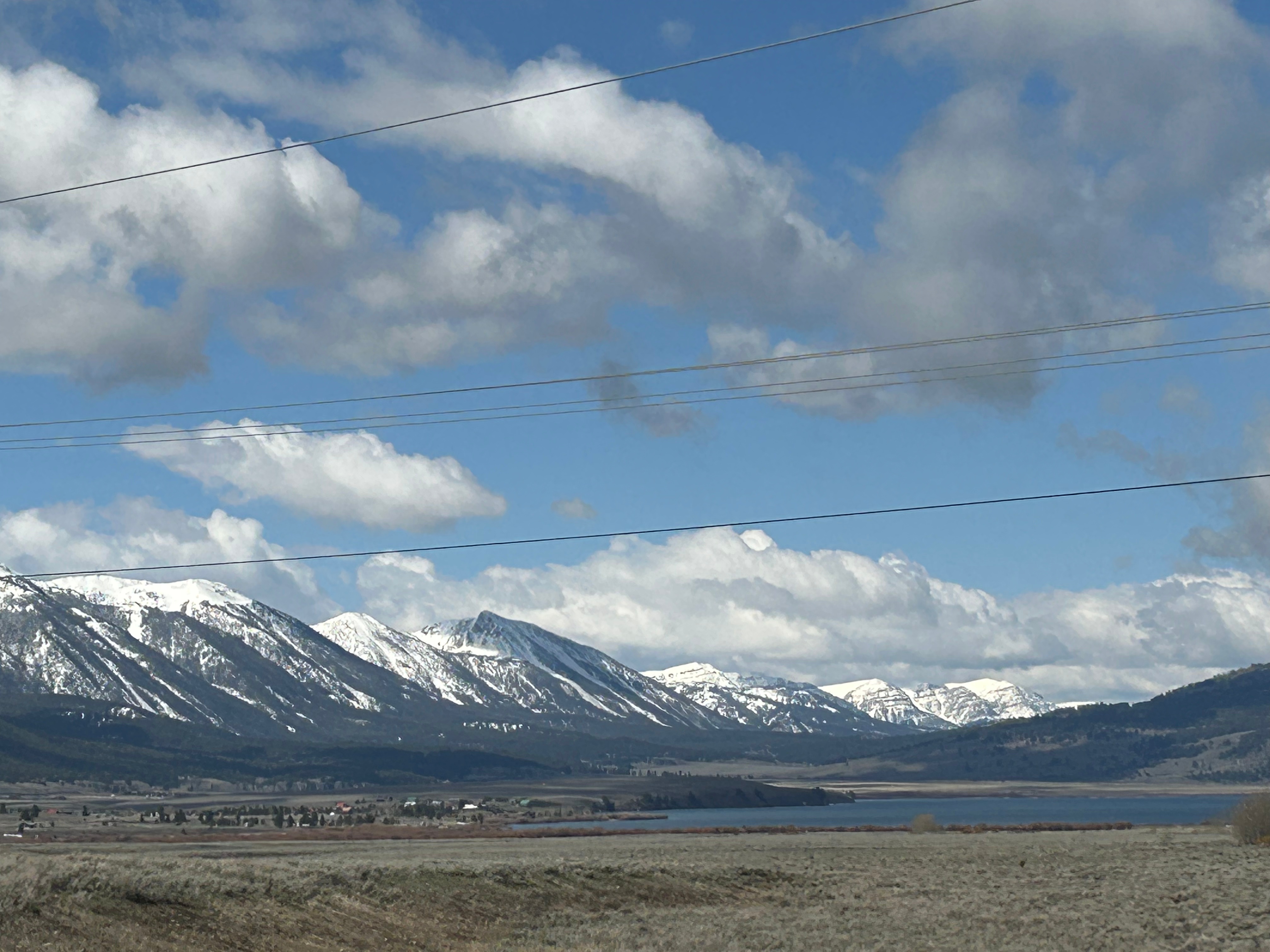
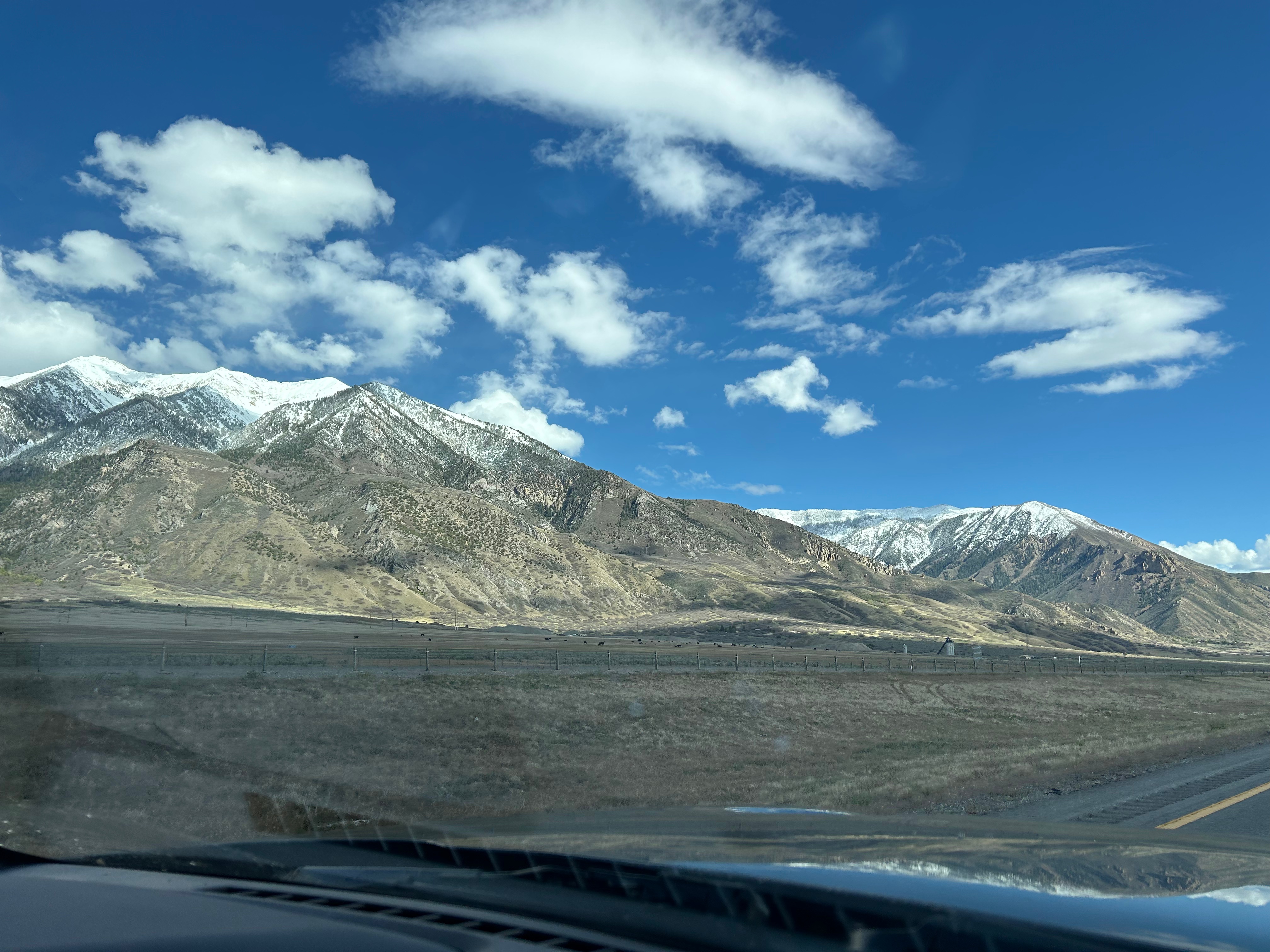
Time flew by after lunch and soon we were in Utah. We pretty much zipped through the state, and the mountains started getting bigger again. South of Salt Lake City, we veered off the interstate towards the little town of Torrey. Every mountain view you can imagine was part of this drive: snow-capped mountains, lush green mountains, finger-like hills, desert mounds, and stone wall-like mountains streaked with color. Every color of the rainbow was present, and it was particulary beautiful late in the afternoon. I didn’t even try to take a picture; choosing just to soak it up in the moment. Plus, pictures (or at least my pictures) never do justice to these grand vistas–it’s so hard to capture the vastness, the scale, or even the vibrancy of colors. Just before landing for the night, we stopped for dinner at a little make-shift restaurant at a nearby campground. It was pretty unassuming, but served almost gourmet level food. I had a salad that looked like it jumped straight out of the garden, along with smoked chicken that could’ve come from a famous BBQ place. It can be a gamble with local places, but we lucked out twice in one day.
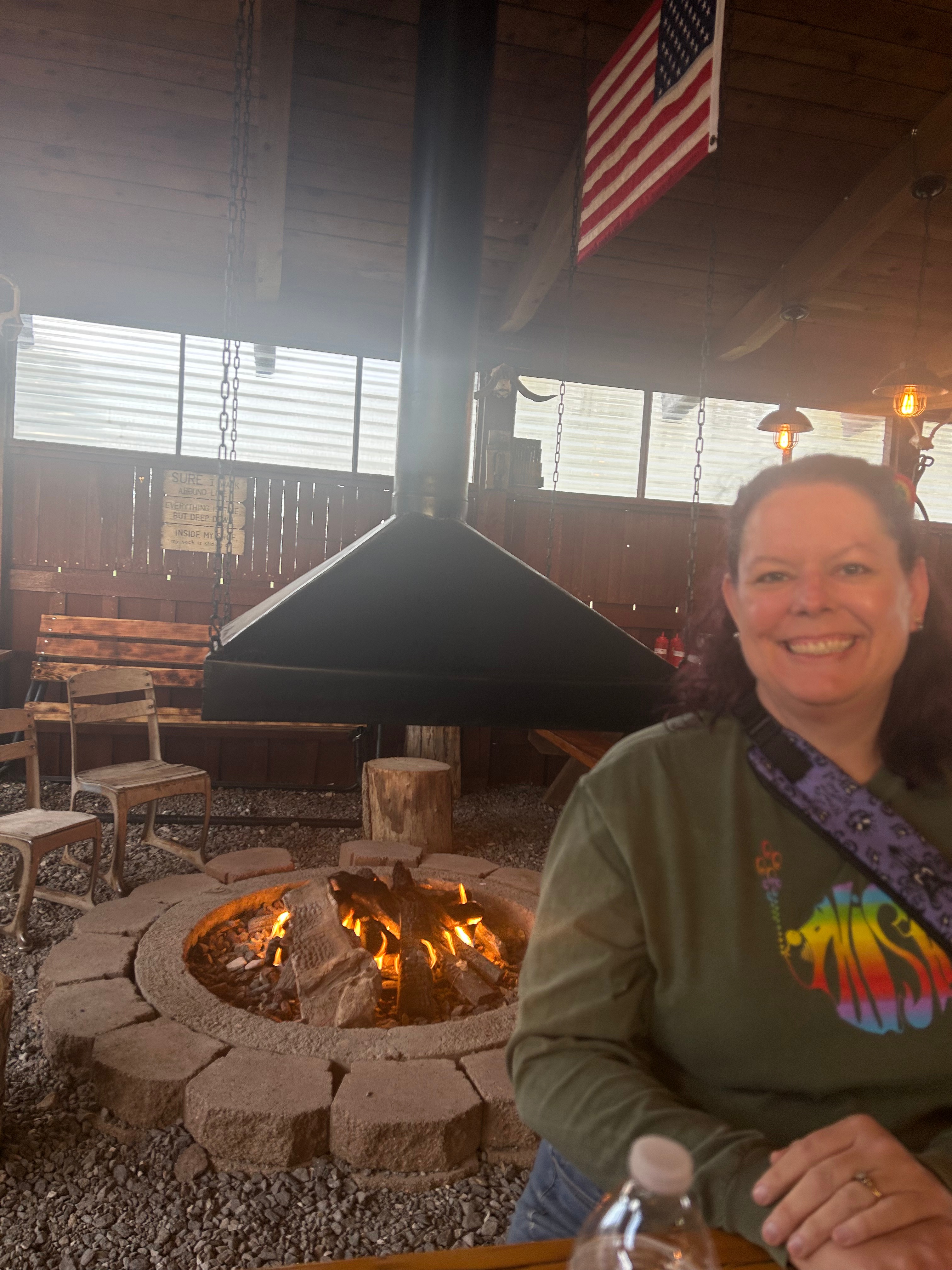
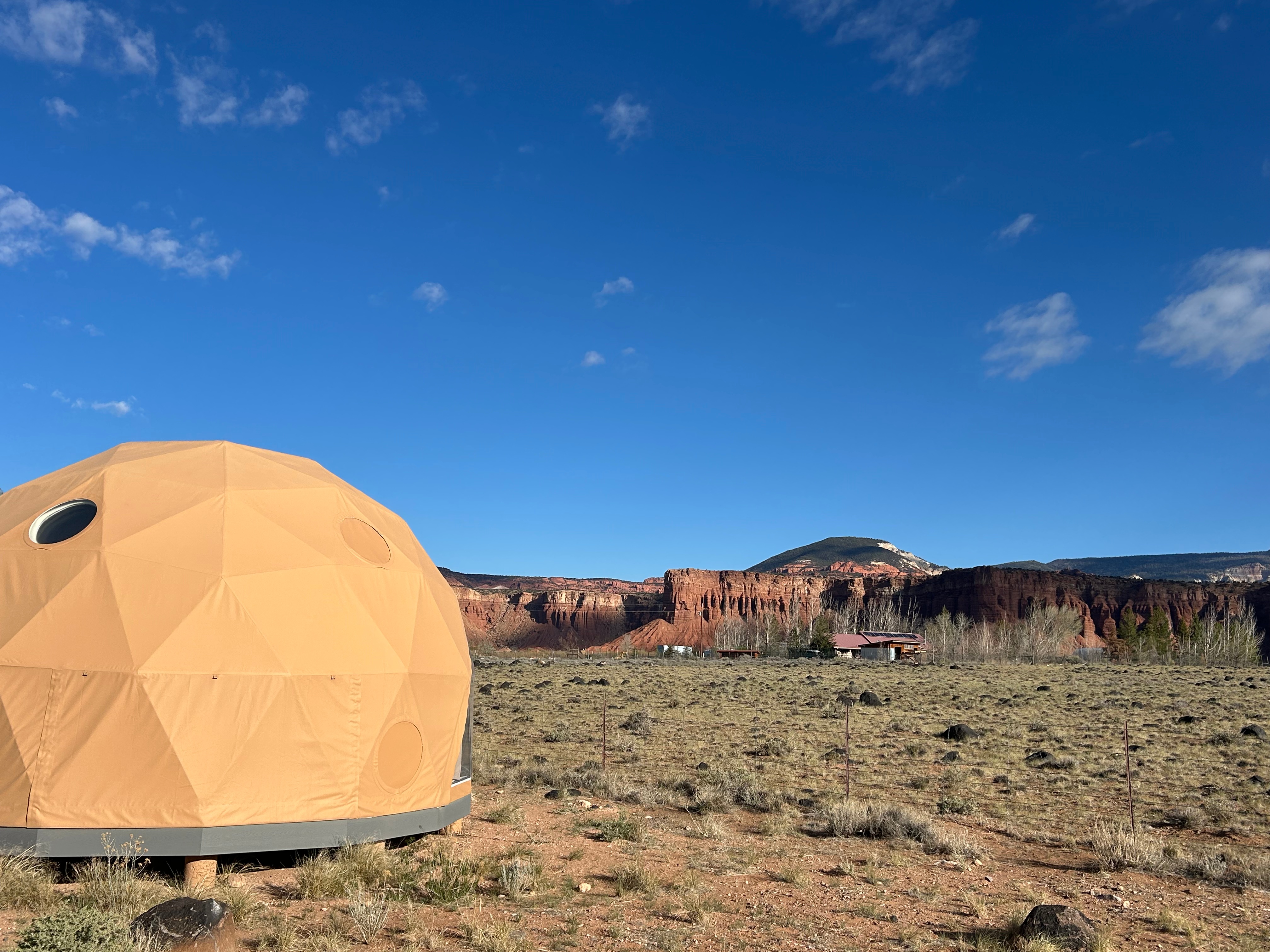
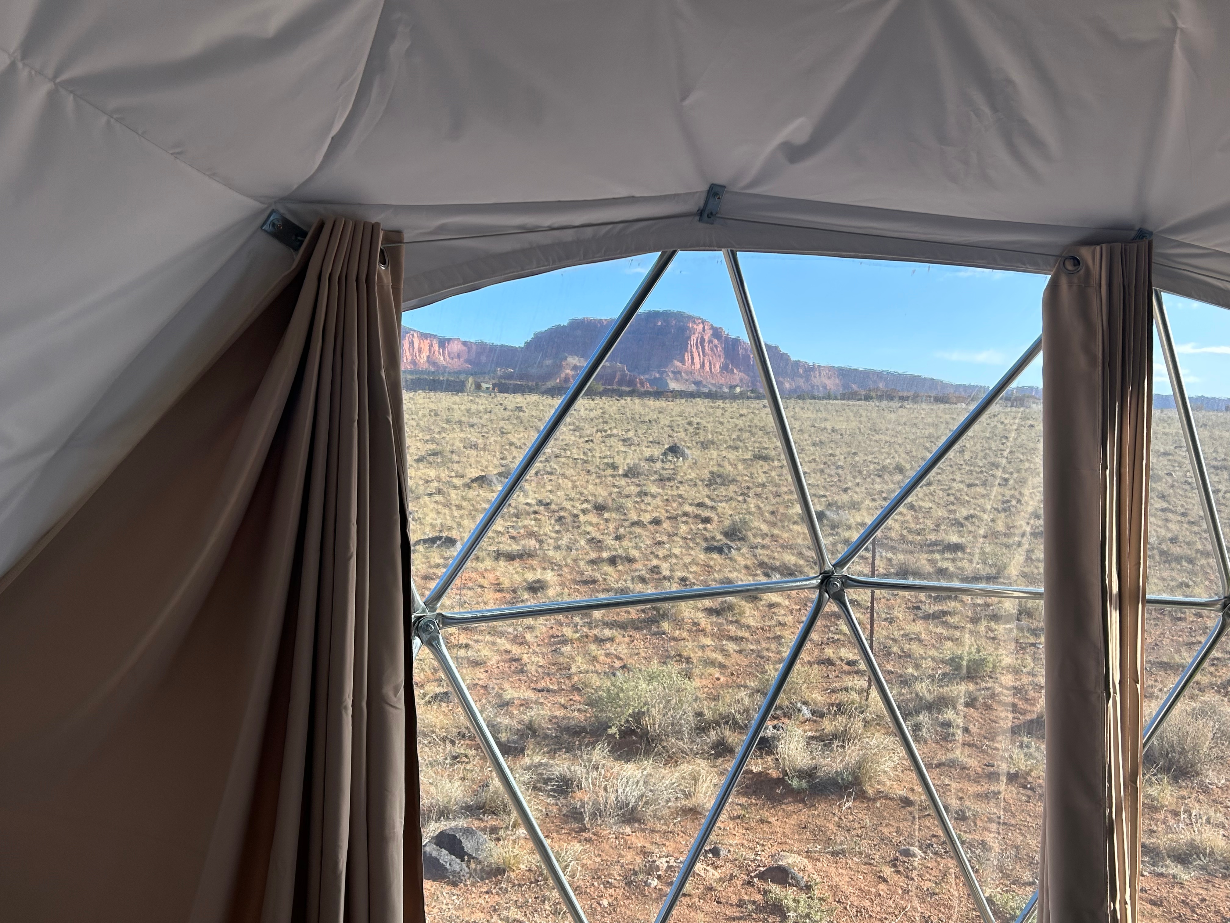
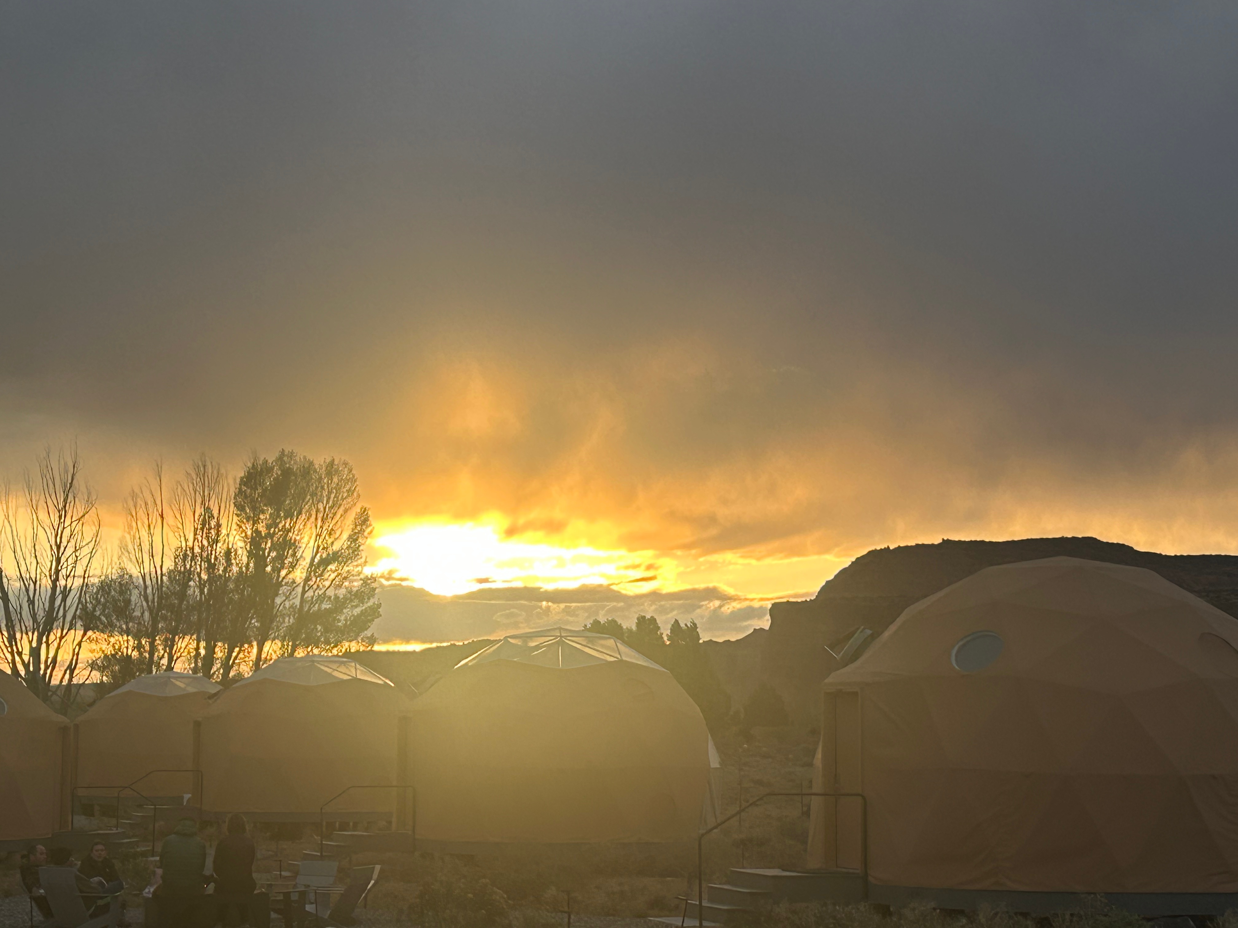
We ended our day at the Skyview Resort, which are glamping domes that are clear on one side so you’re comfortably sleeping under the stars. We’d stayed in something similar on our Grand Canyon trip years back, and it was just the right compromise for us. Thom prefers the comforts of a hotel and I prefer to be immersed in nature. In these domes, you get a comfortable bed and climate control. We had to walk the gravel paths to the bathrooms, so it might have been a little more camping than Thom desires, but it wasn’t a super long walk. After unpacking and setting up, we sat around the communal campfire to have s’mores and visit with all the other travelers. I usually feel like we are a pretty average couple, with typical middle-class jobs living the average suburban life. But I believe our fellow campers thought we were the craziest people they’d ever met. They thought it was crazy that we took a week of to drive to a concert in Vegas (instead of just flying). They couldn’t believe how many miles we’d driven in such a short time and how much we were packing in. However, we all connected–talking about the beauty of our country. We loved sitting by the warm fire and soaking up both nature and comraderie.
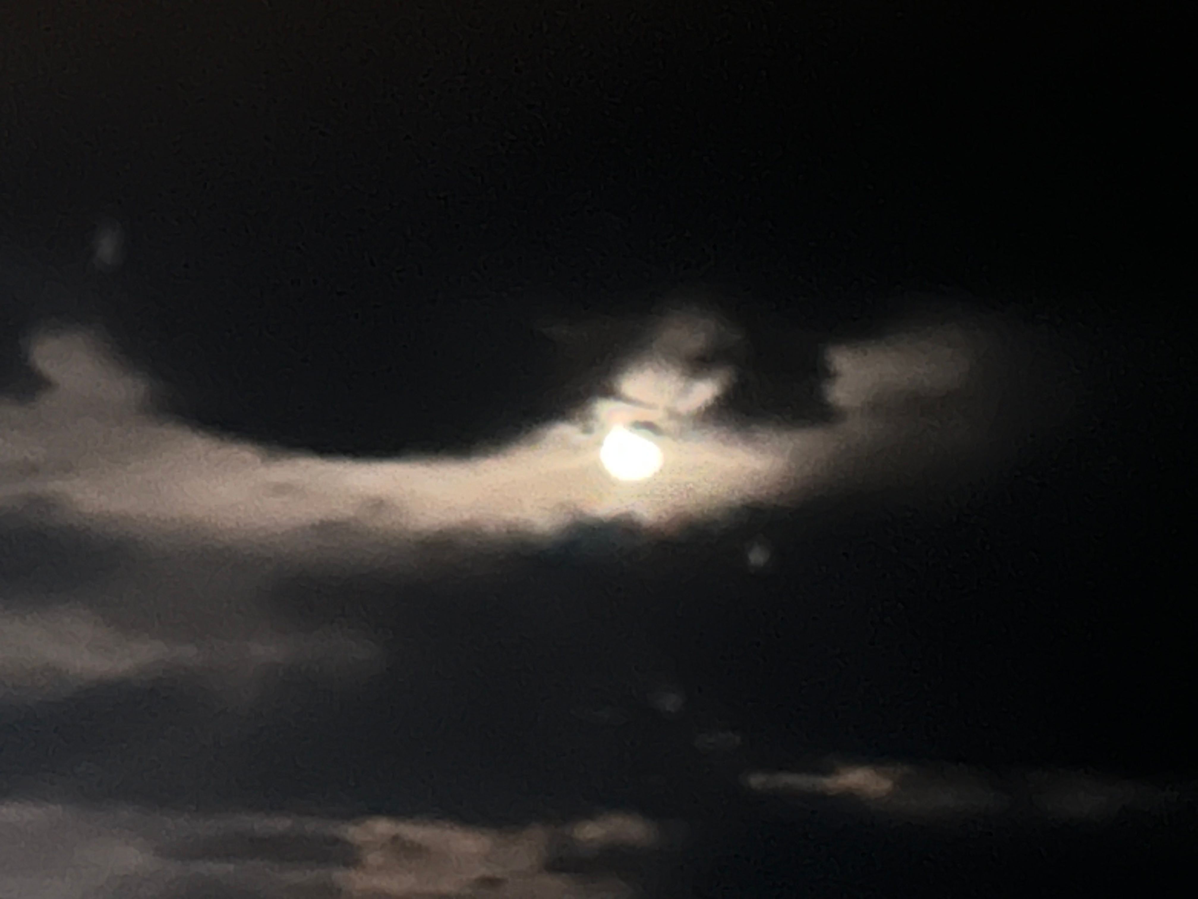
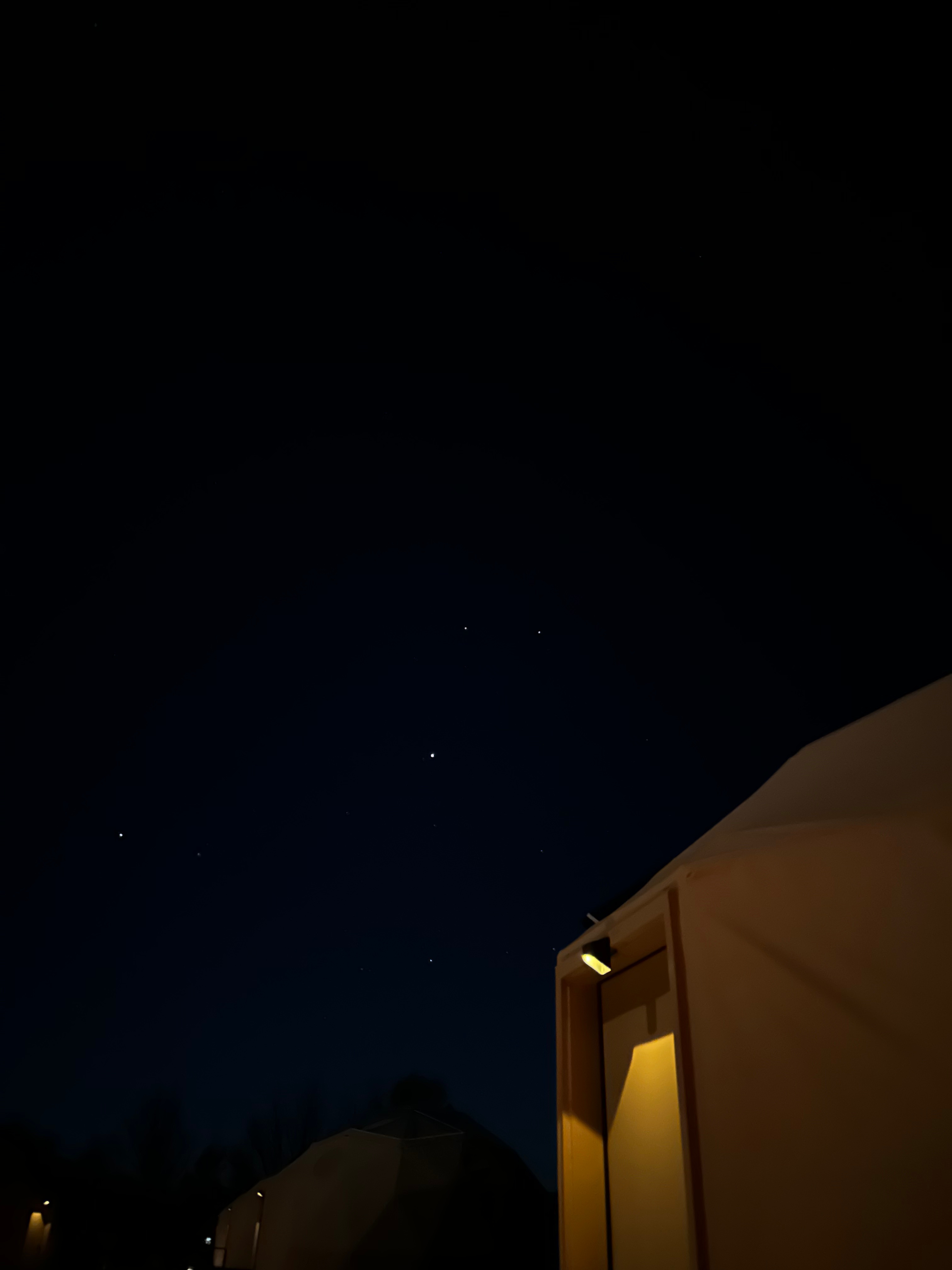
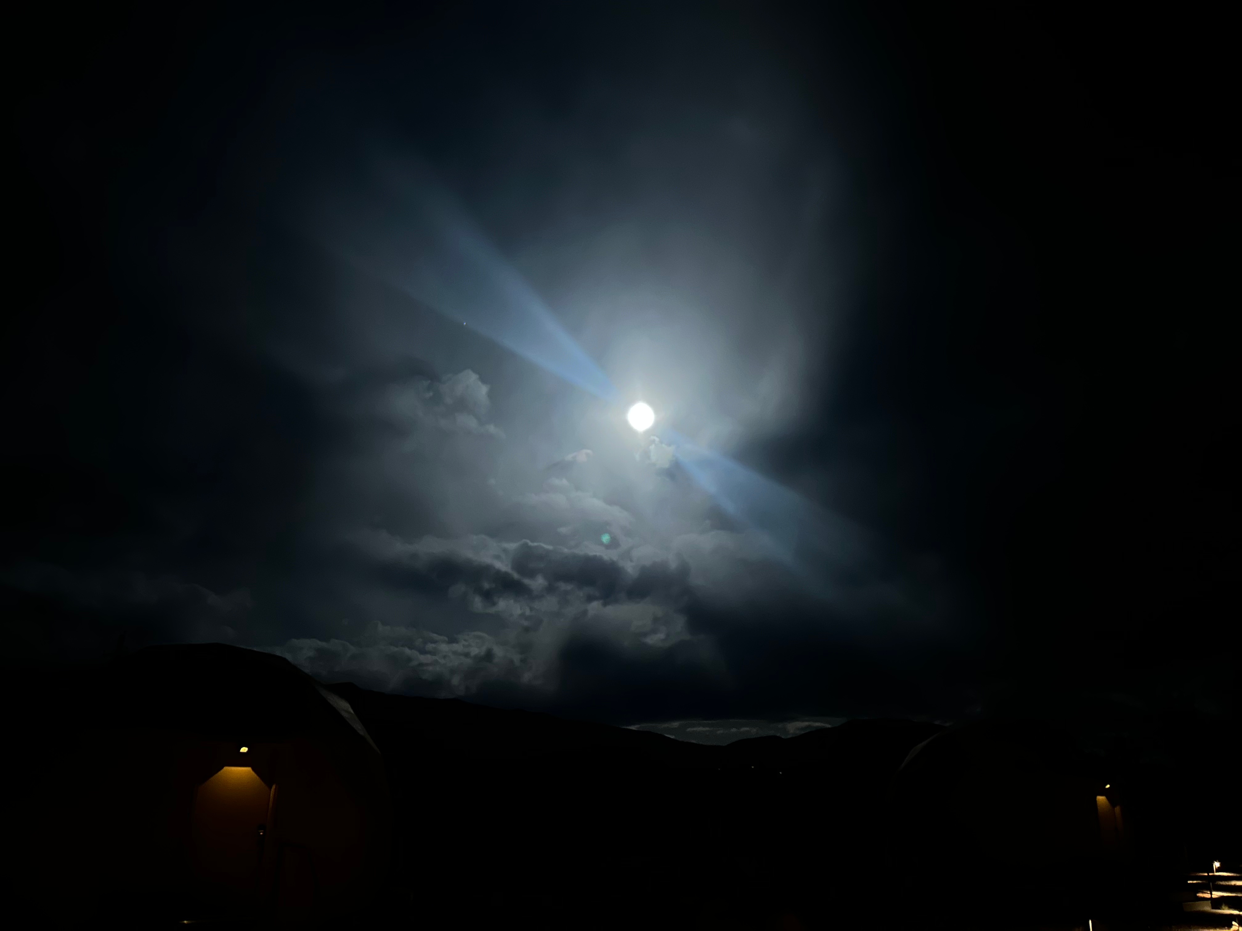
I was so wishing for a clear, starry night out in the desert. However, it was somewhat cloudy and the nearly full moon was up bright in the sky. We were able to see a few stars before tucking in for the night. I got up in the middle of the night to see if the skies had cleared, but it was actually more cloudy. I enjoyed the moon with the clouds nonetheless, until the cold sent me back to bed.
Even though we were the last to bed, I was the first up, as I had to see the desert sunrise. There was a pretty good cloudbank, so it took a little longer to come up. I intended to stay past the initial appearance of the sun and watch as the light streaked across the rock formations. However, the cold got me again. I went back to bed to warm up for a half hour before officially starting the day.
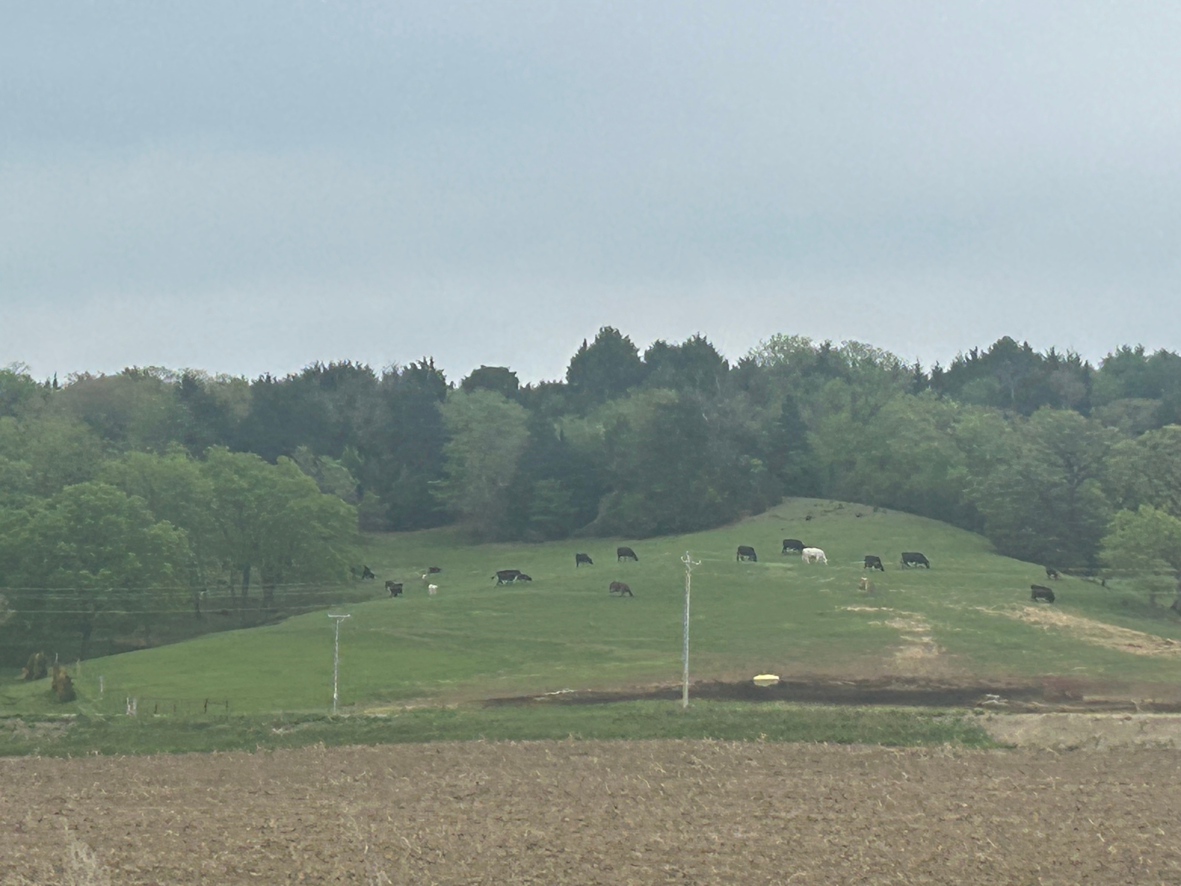
After packing up and having a camping breakfast (granola and dried fruits…plus coffee), we hit the road for another busy day. We were only traveling 400 miles, but had three big stops before getting to Vegas. We were set for a trifecta of Utah National Parks: Capitol Reef, Bryce Canyon, and Zion. On the way to our first stop, we continued our games of “Rock or Bison” or “Shrub or Cow”–it’s funny how far you can see across some of these valleys, and it can take a minute to figure out if the tiny blips on the landscape are animals or not.
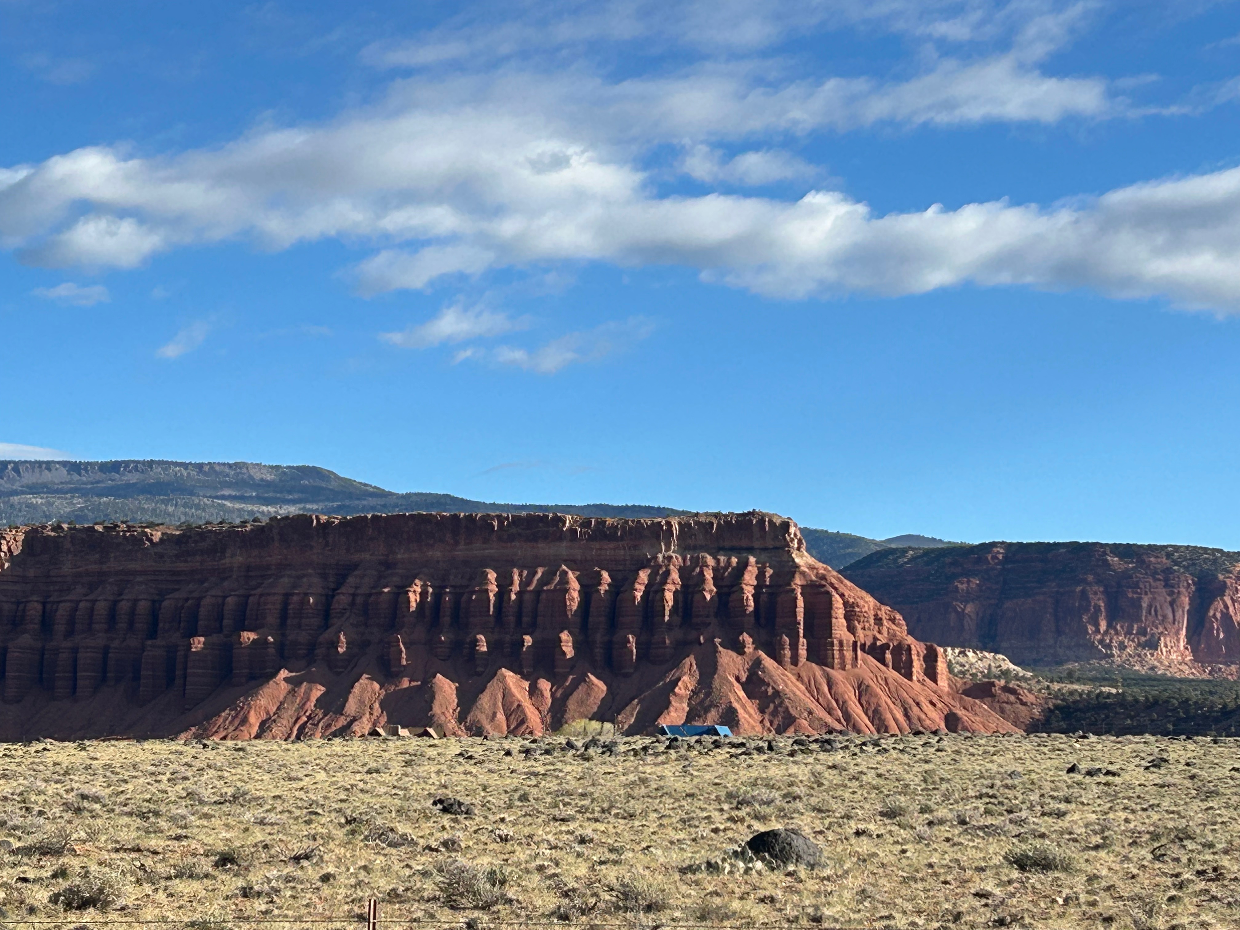
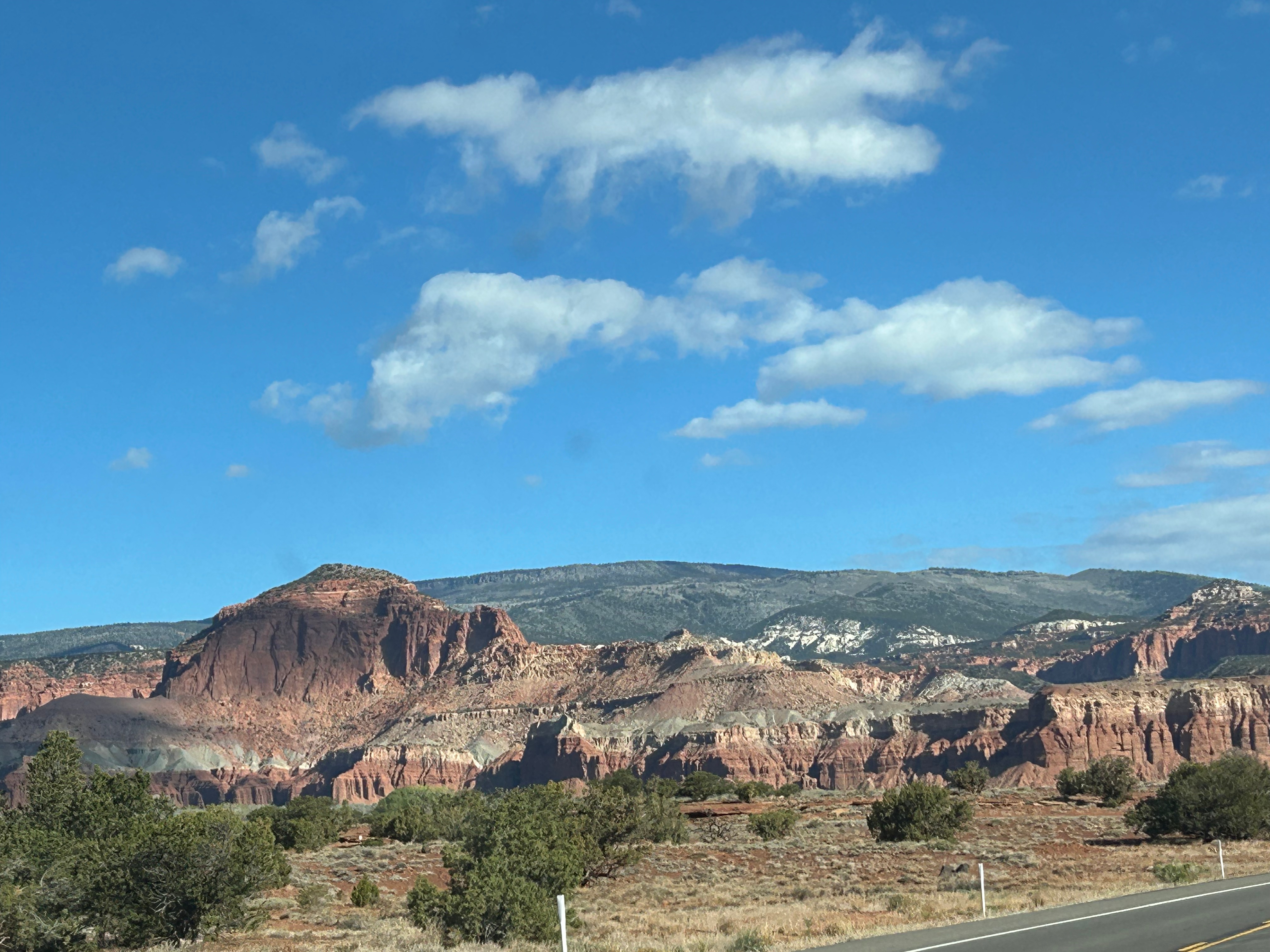
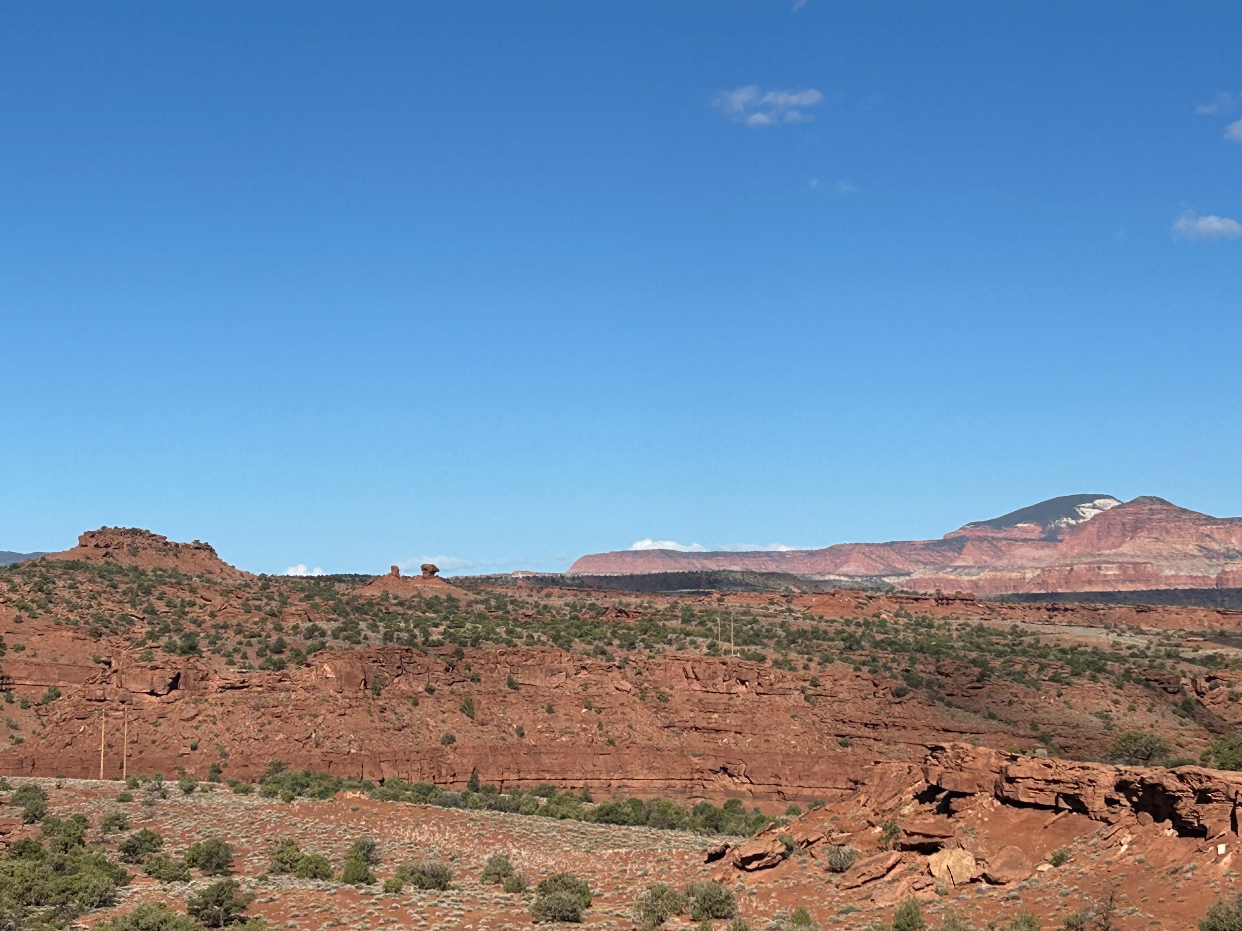
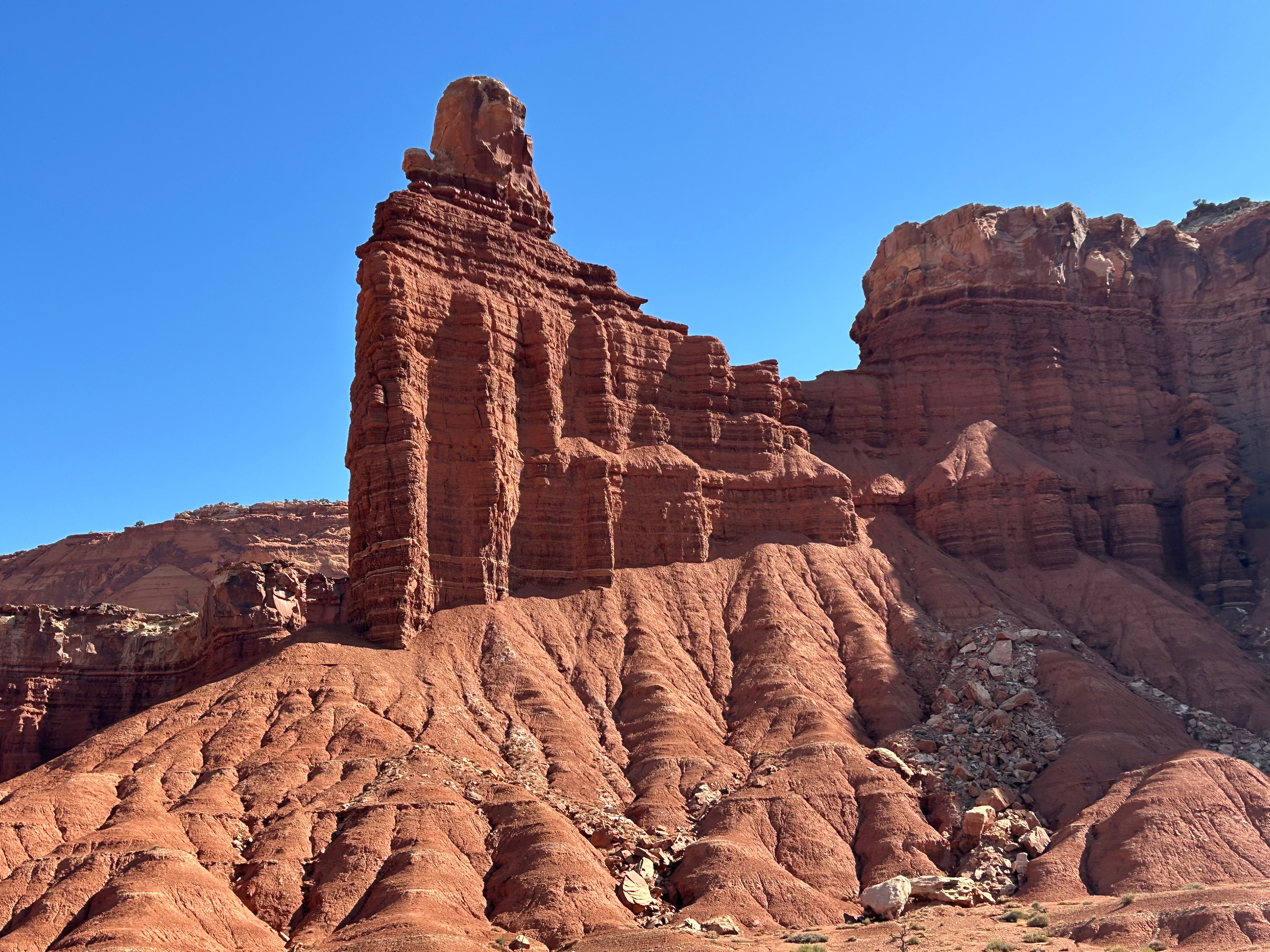
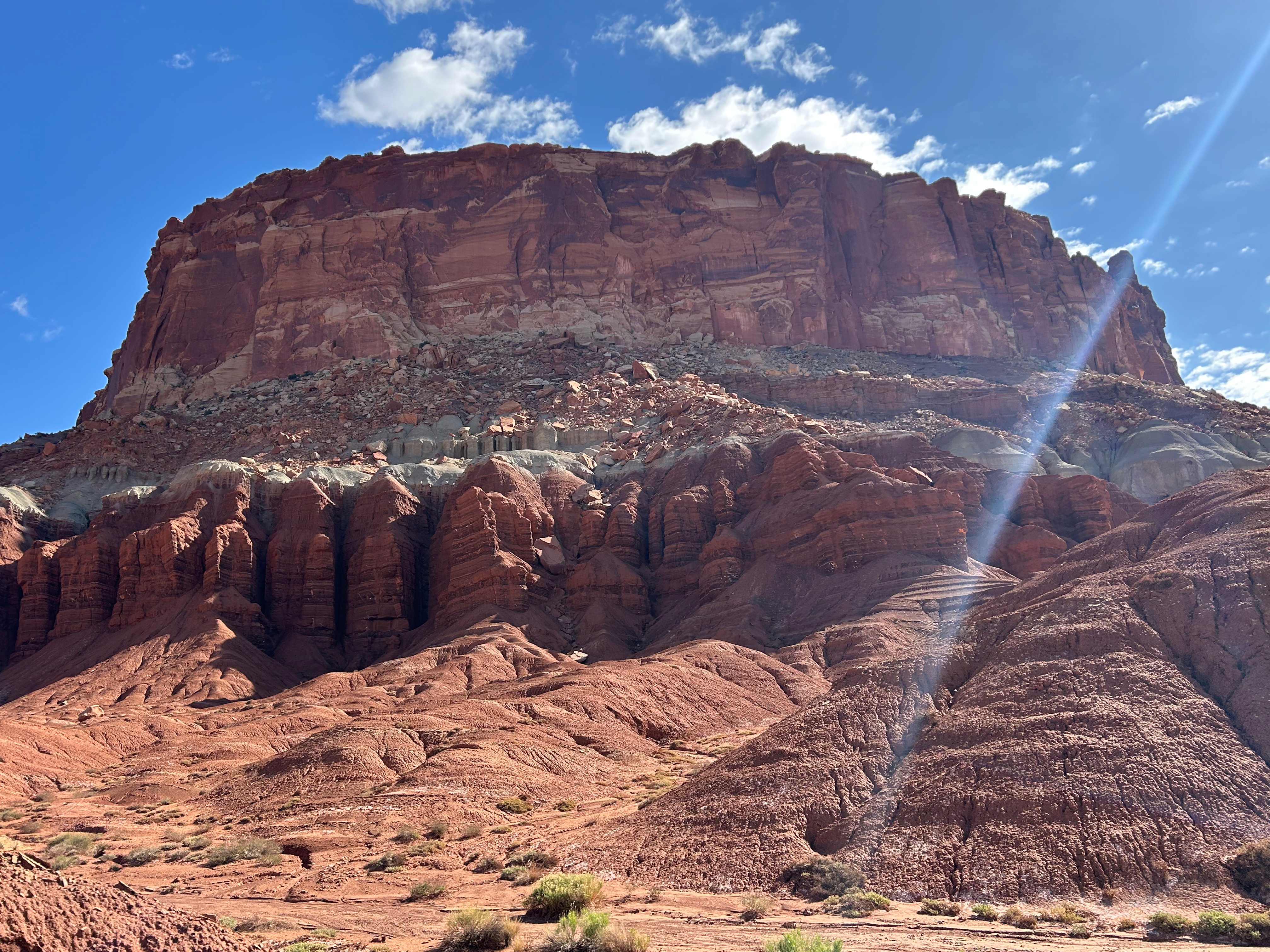
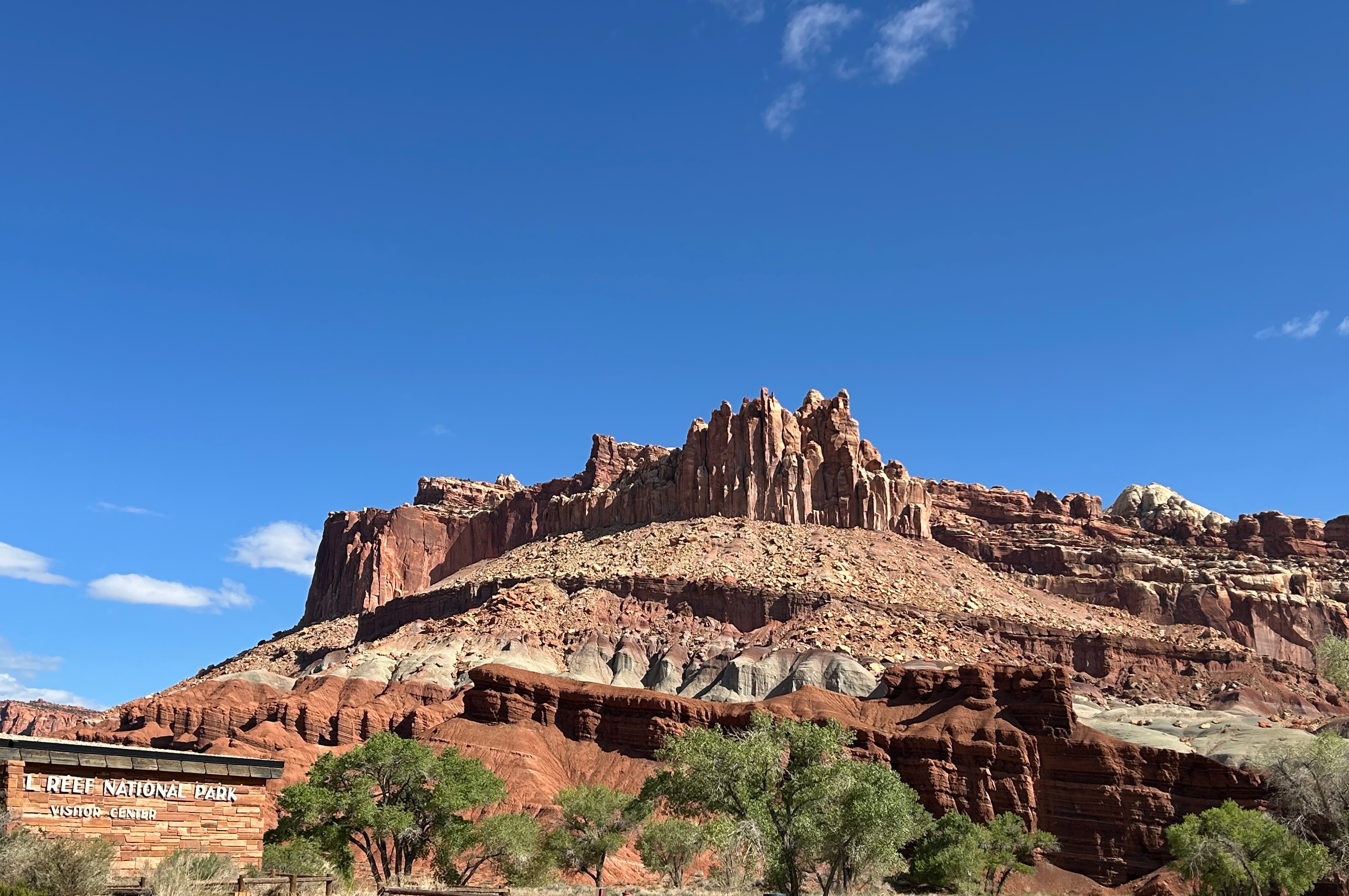
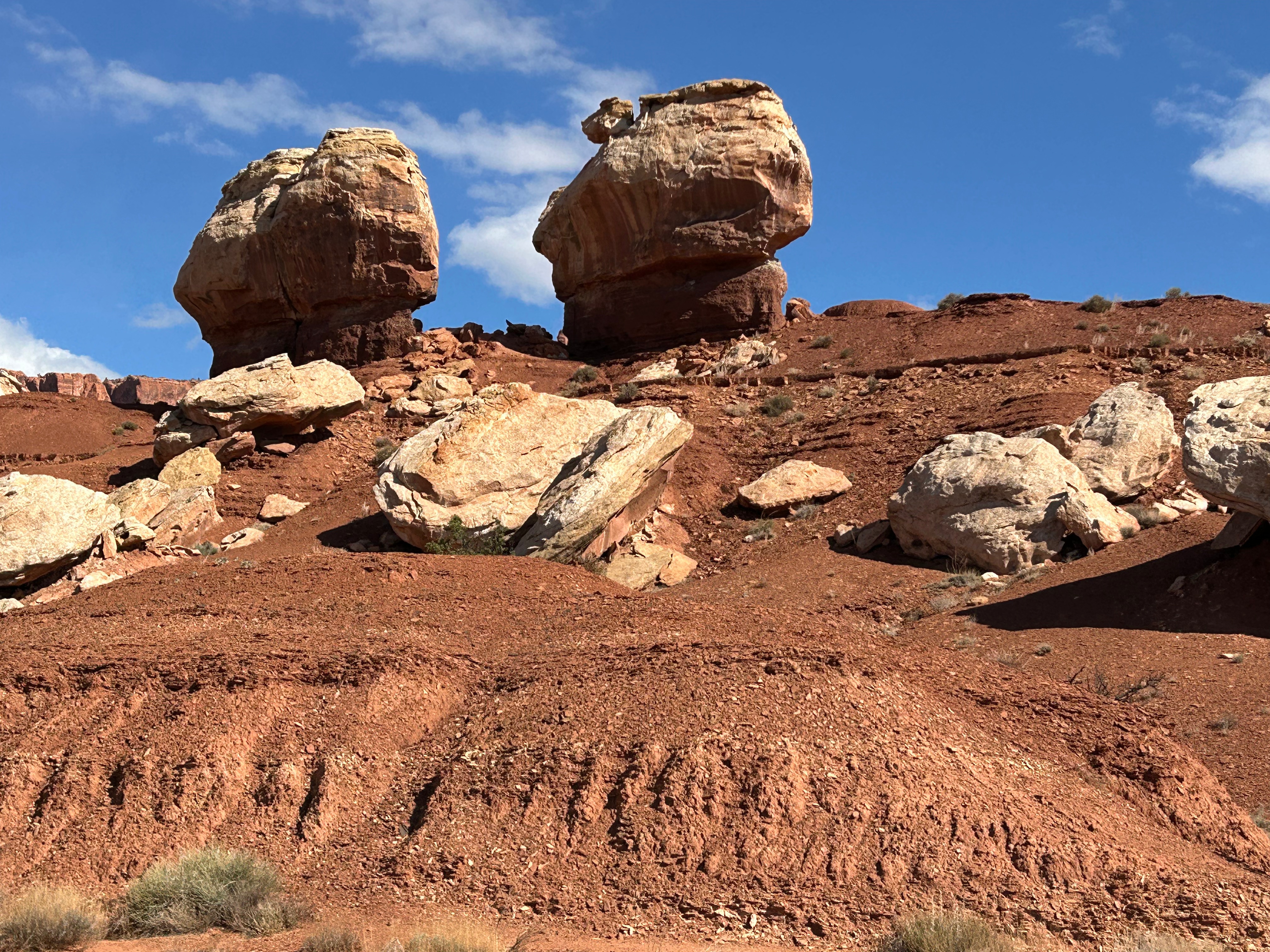
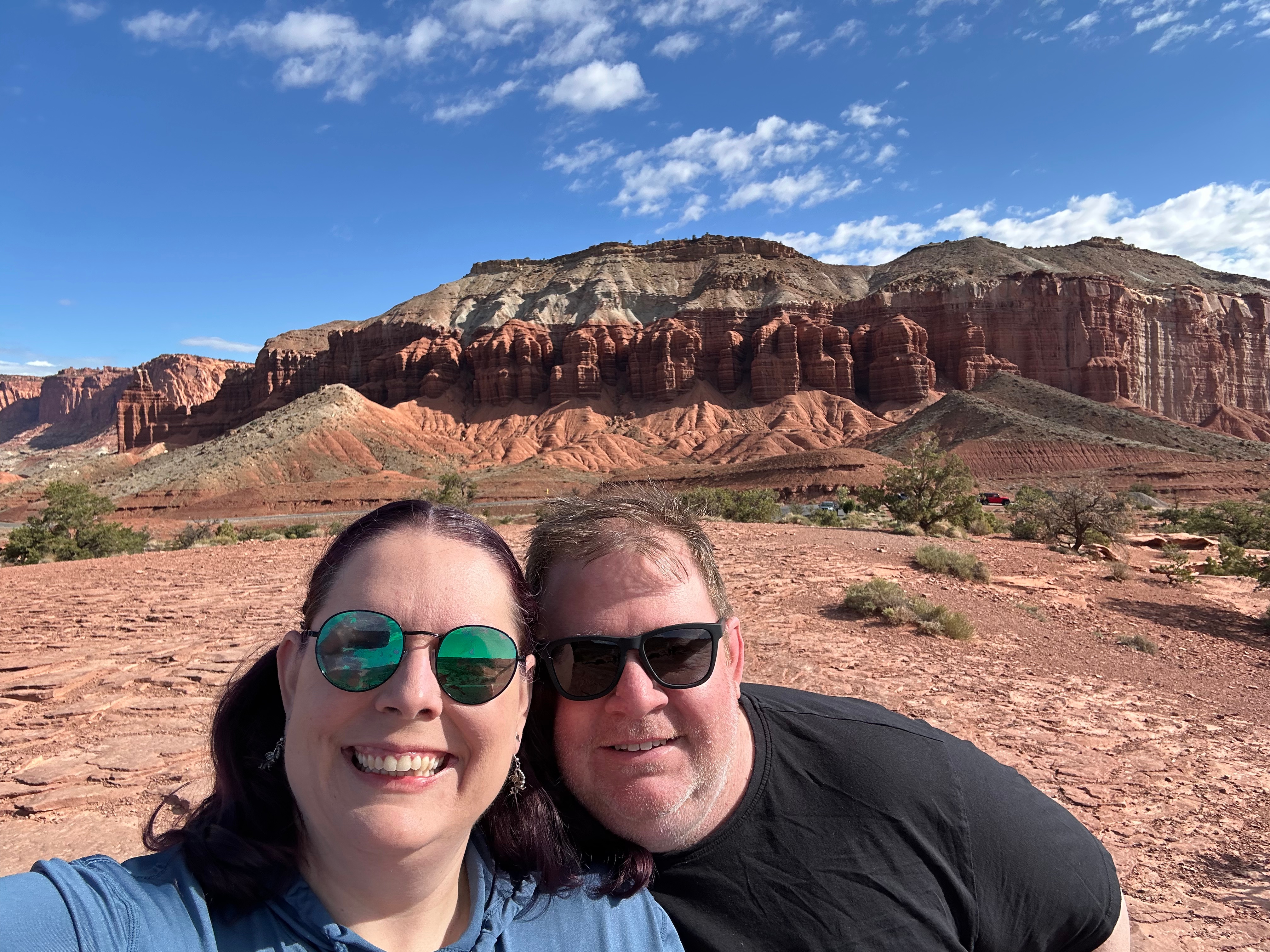
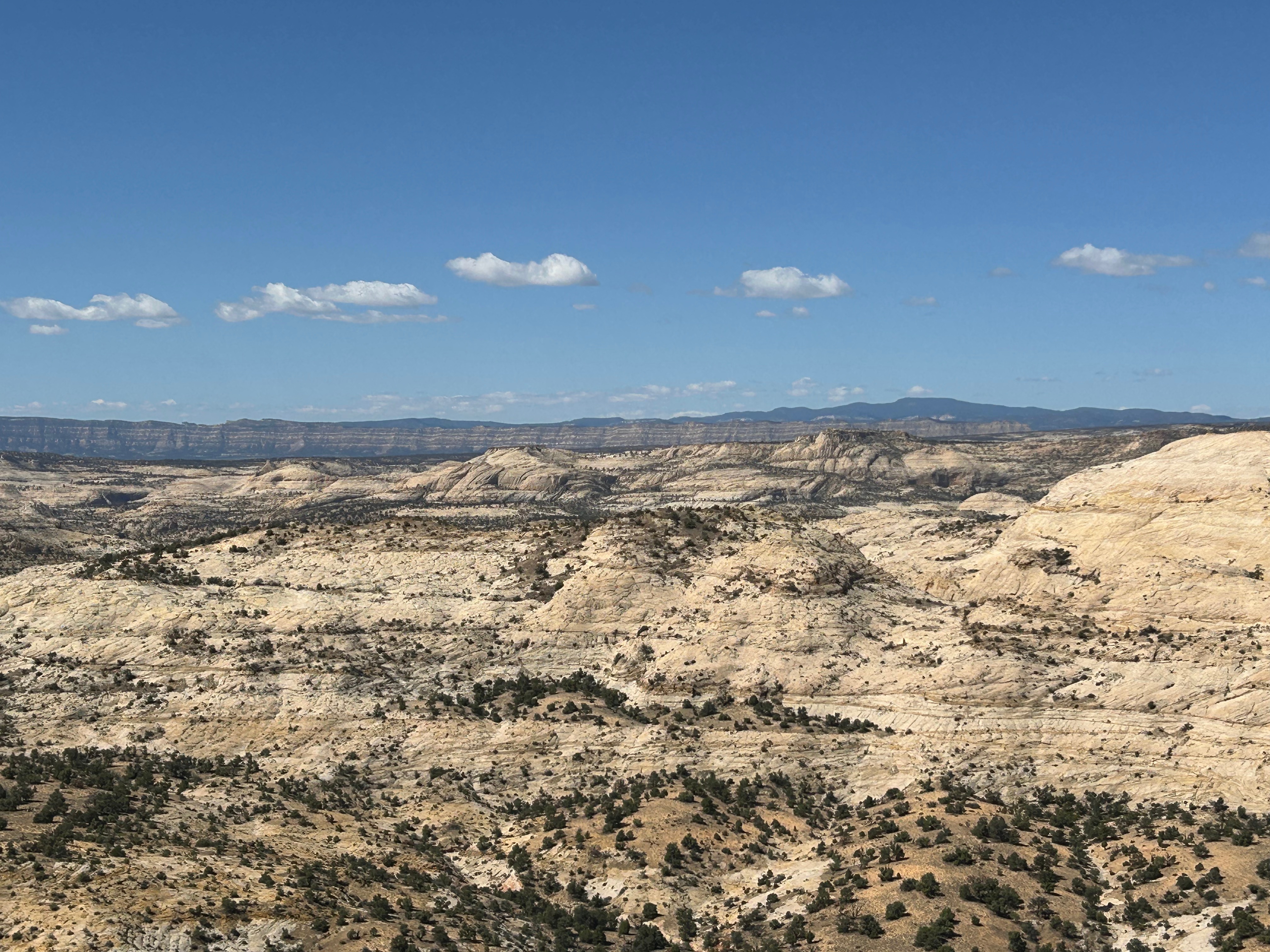
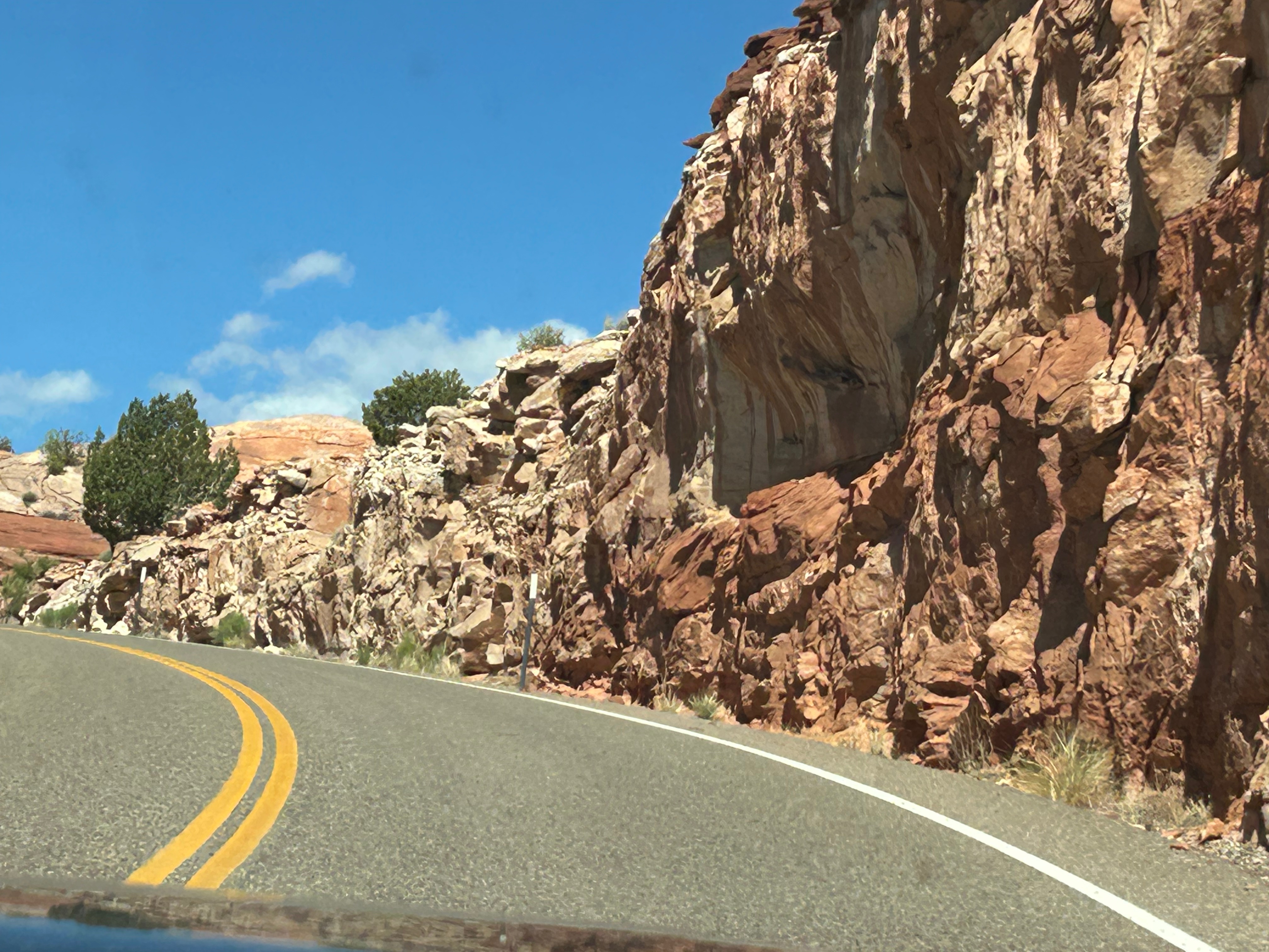
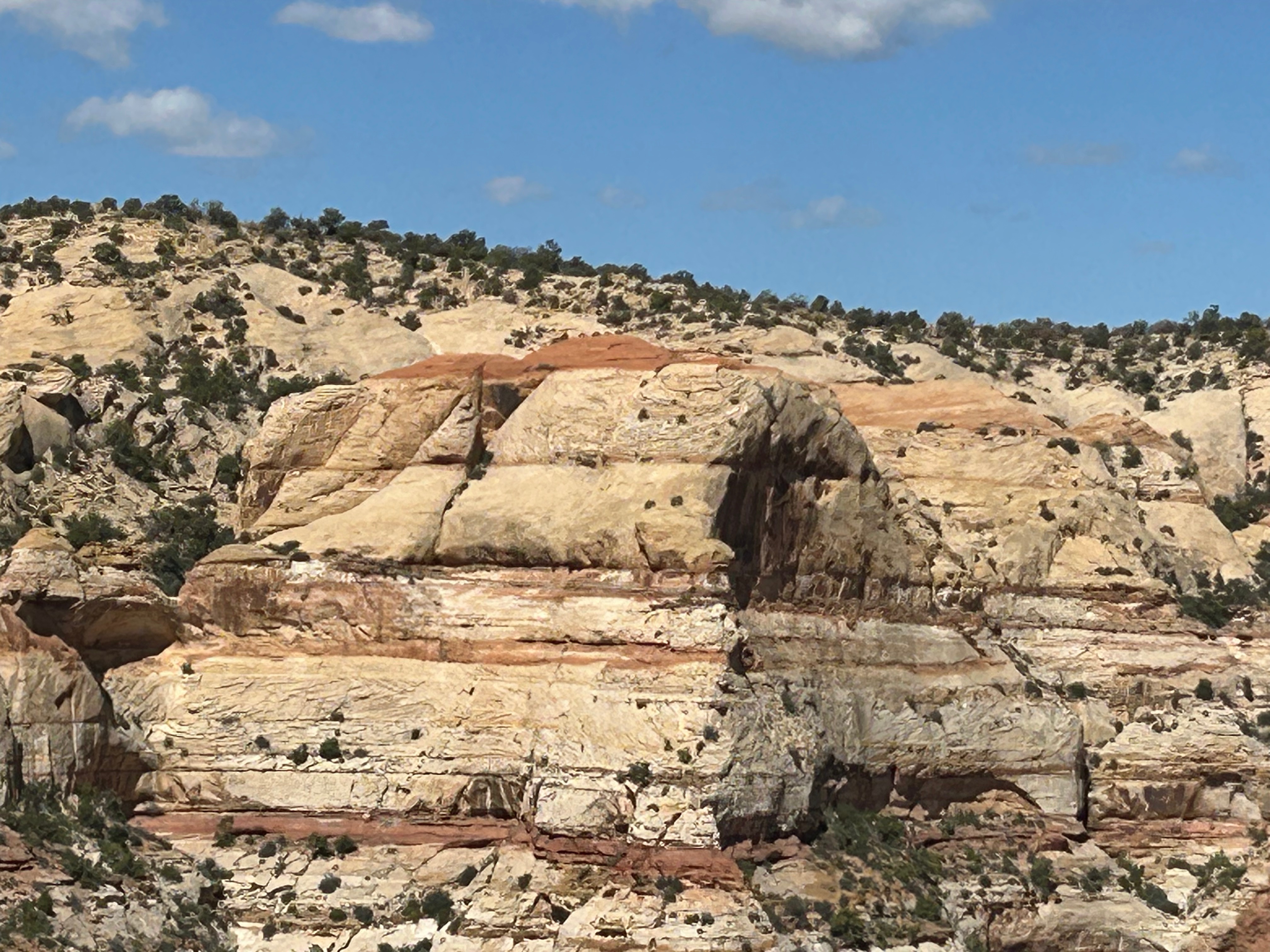
Capitol Reef National Park was pretty close by, so we were already camping around the “Red Rocks”. Capitol Reef had some amazing red rock formations, with some fun stand-out features like The Chimney and The Castle. We enjoyed the visitor center and took in the view at Panorama Point. I really found this park to be enchanting, as it had dry canyons creating dynamic views below you while also having beautiful cliffs and formations above. We didn’t go on the driving tour of the park, as we didn’t have the two hours to spare. So, unfortunately, we didn’t see the namesakes of this park–the Capitol Dome rock formation or the Waterpocket Fold (folded rock formations that look like a barrier reef). But the entrance area and the Fruita Region were super cool.
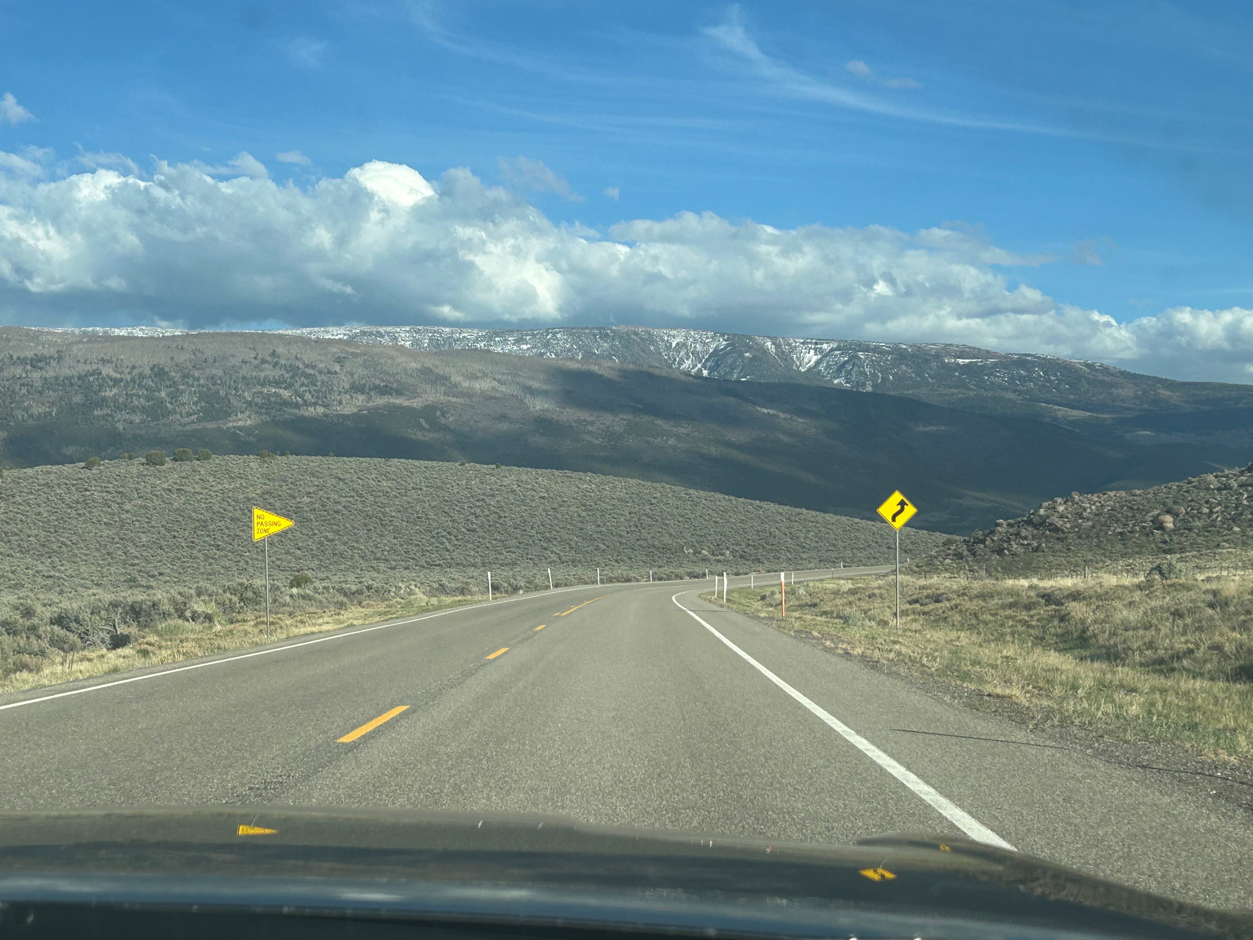
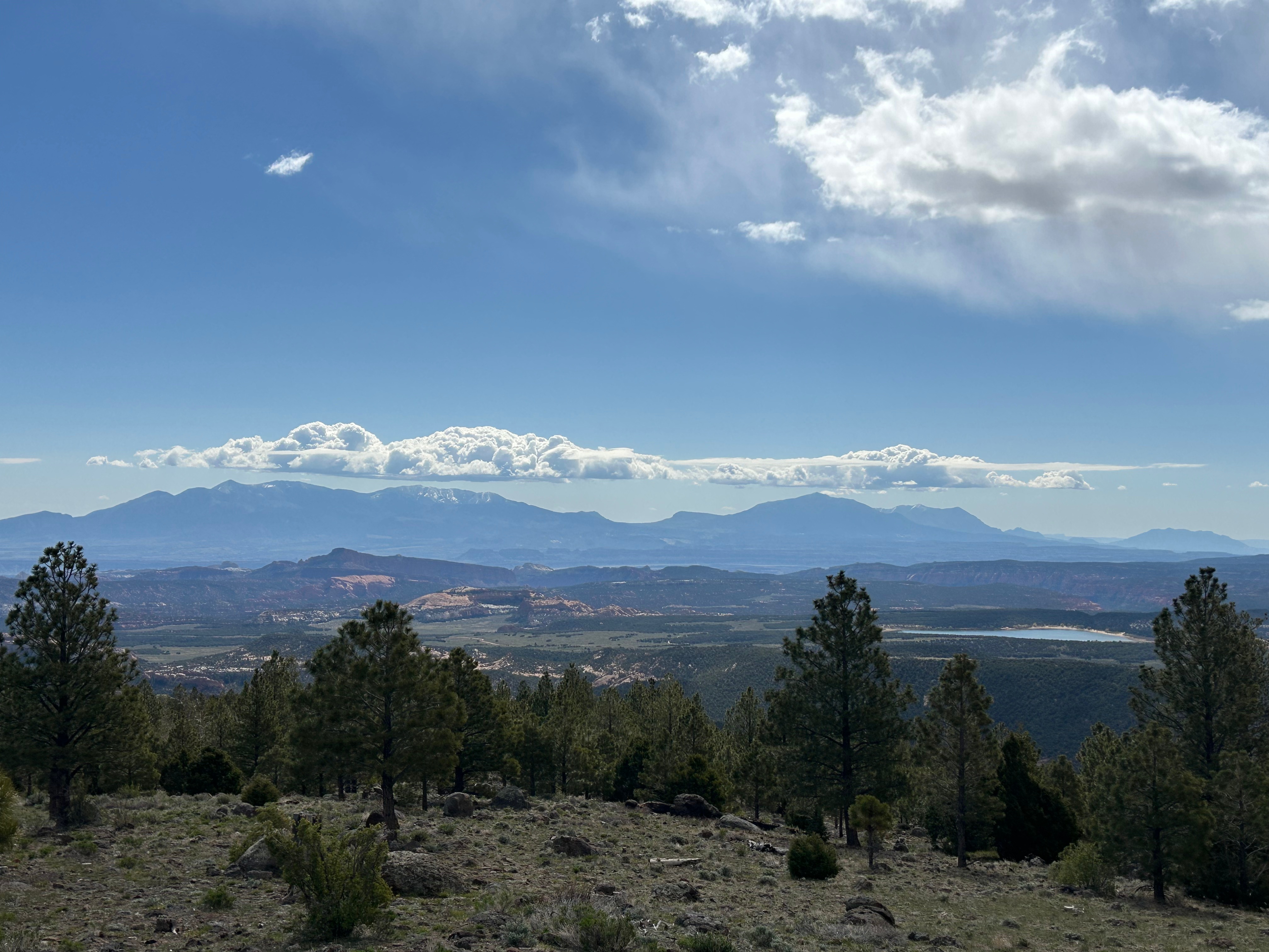
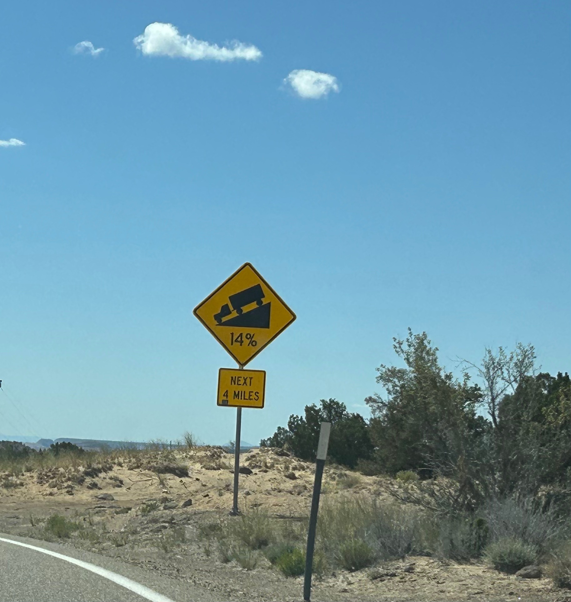
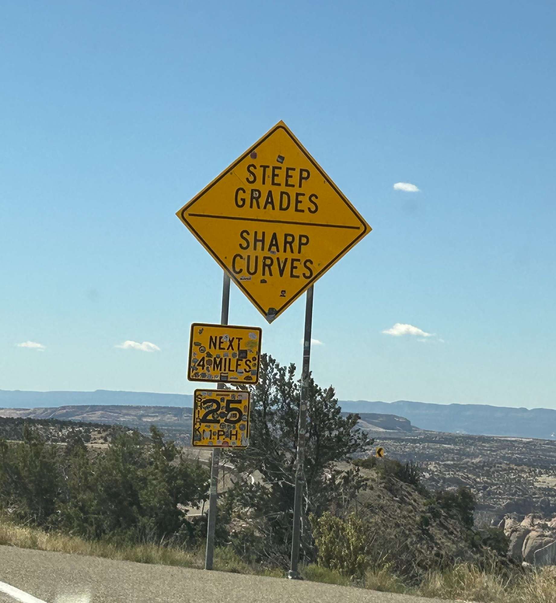
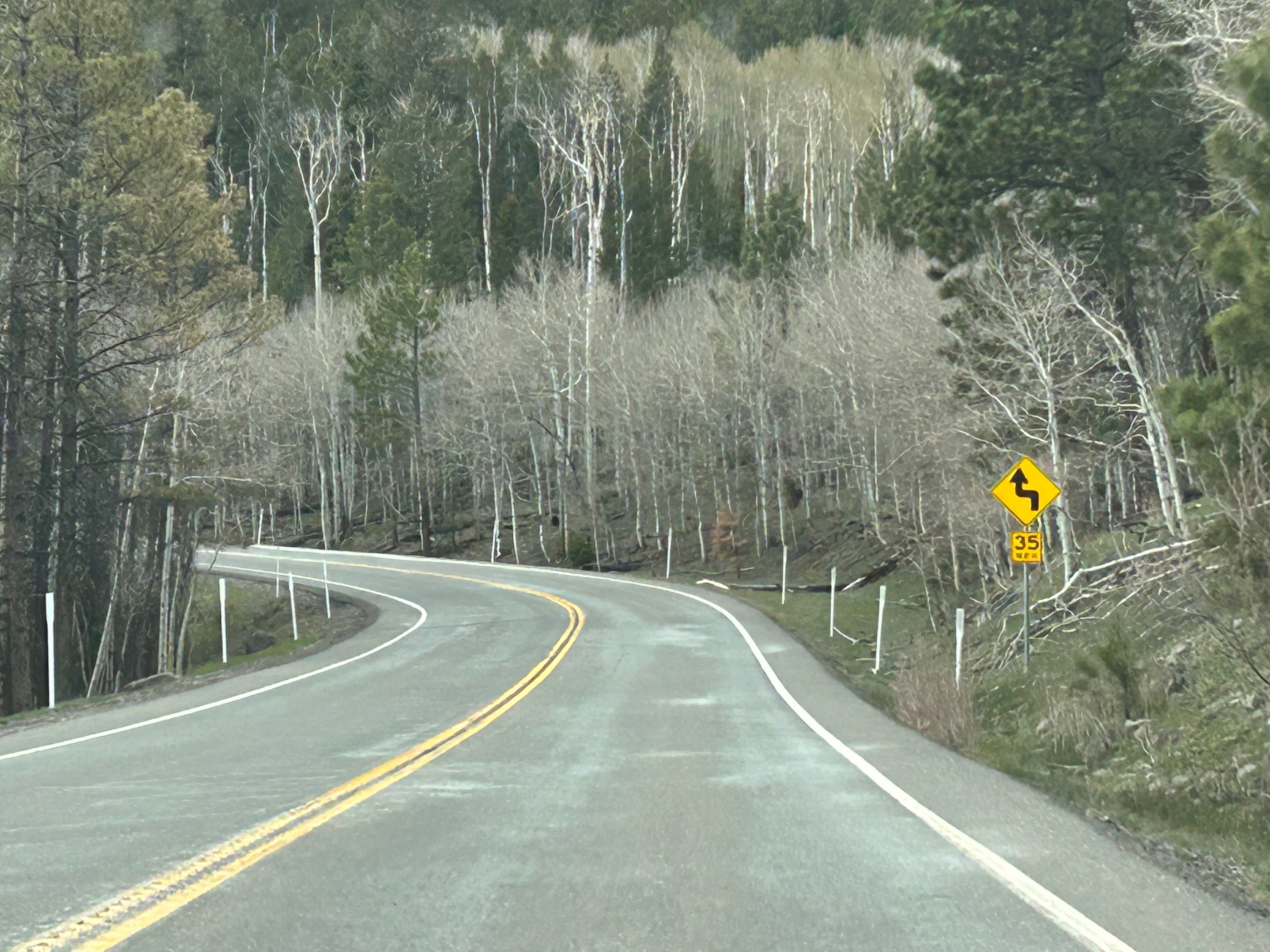
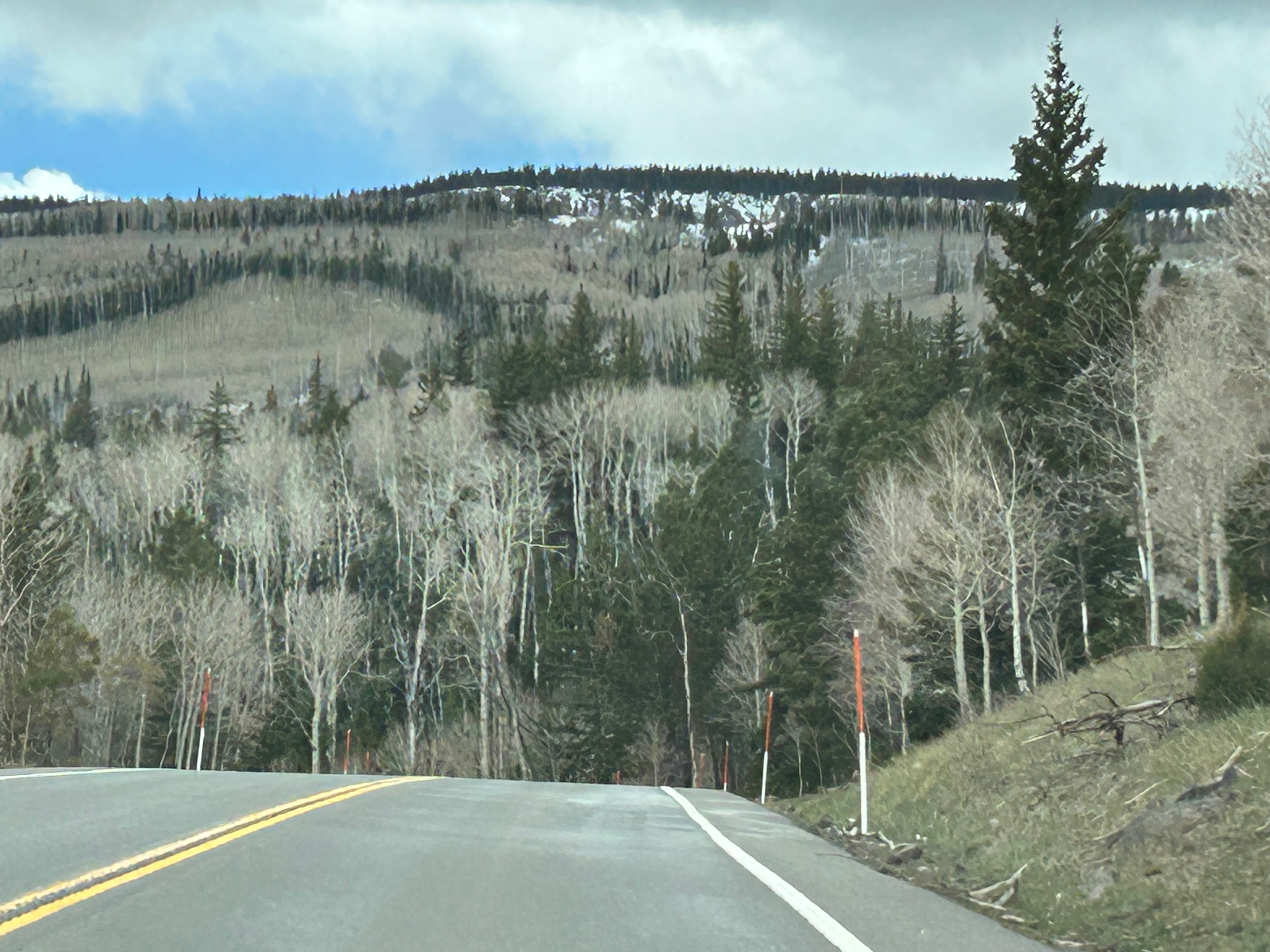
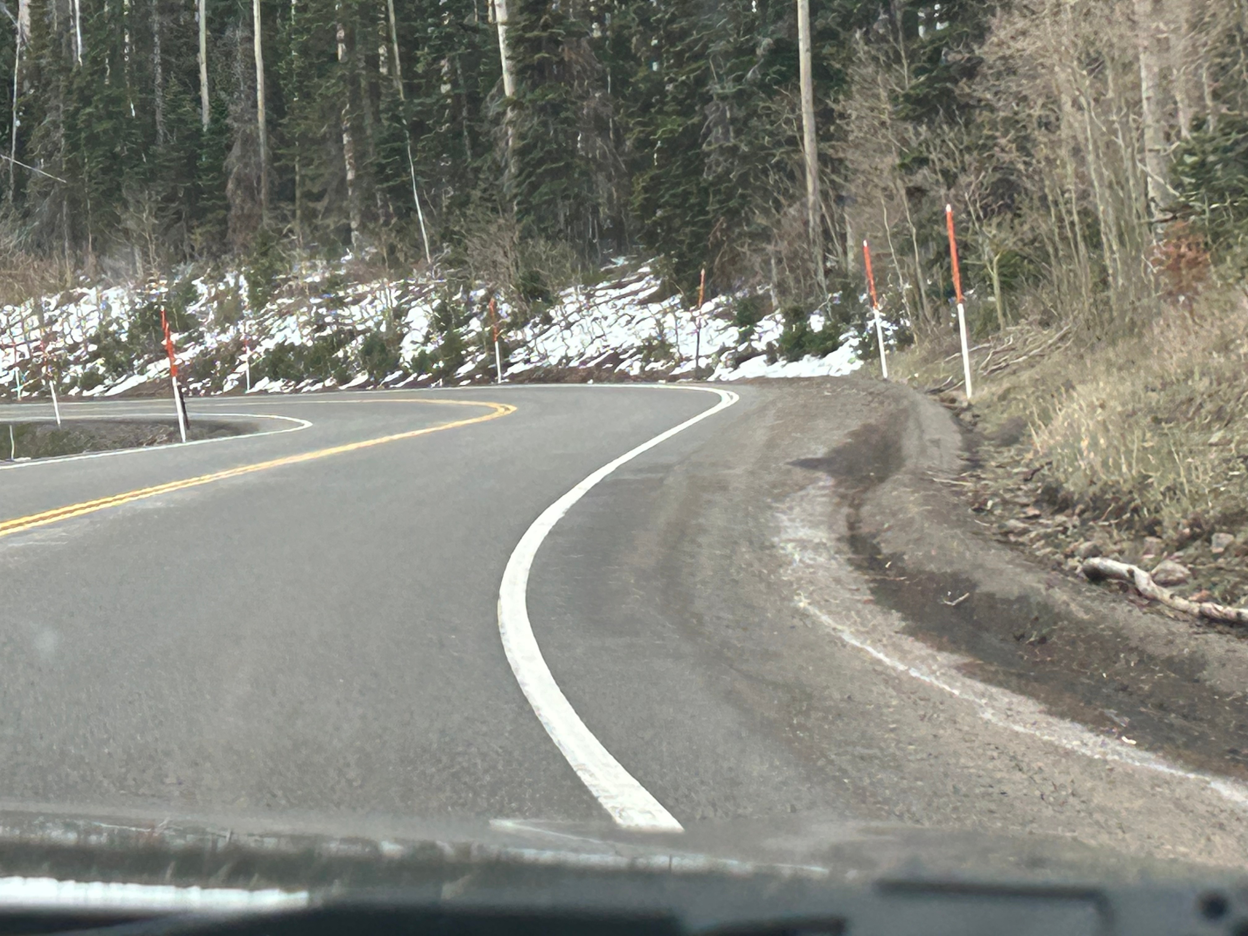
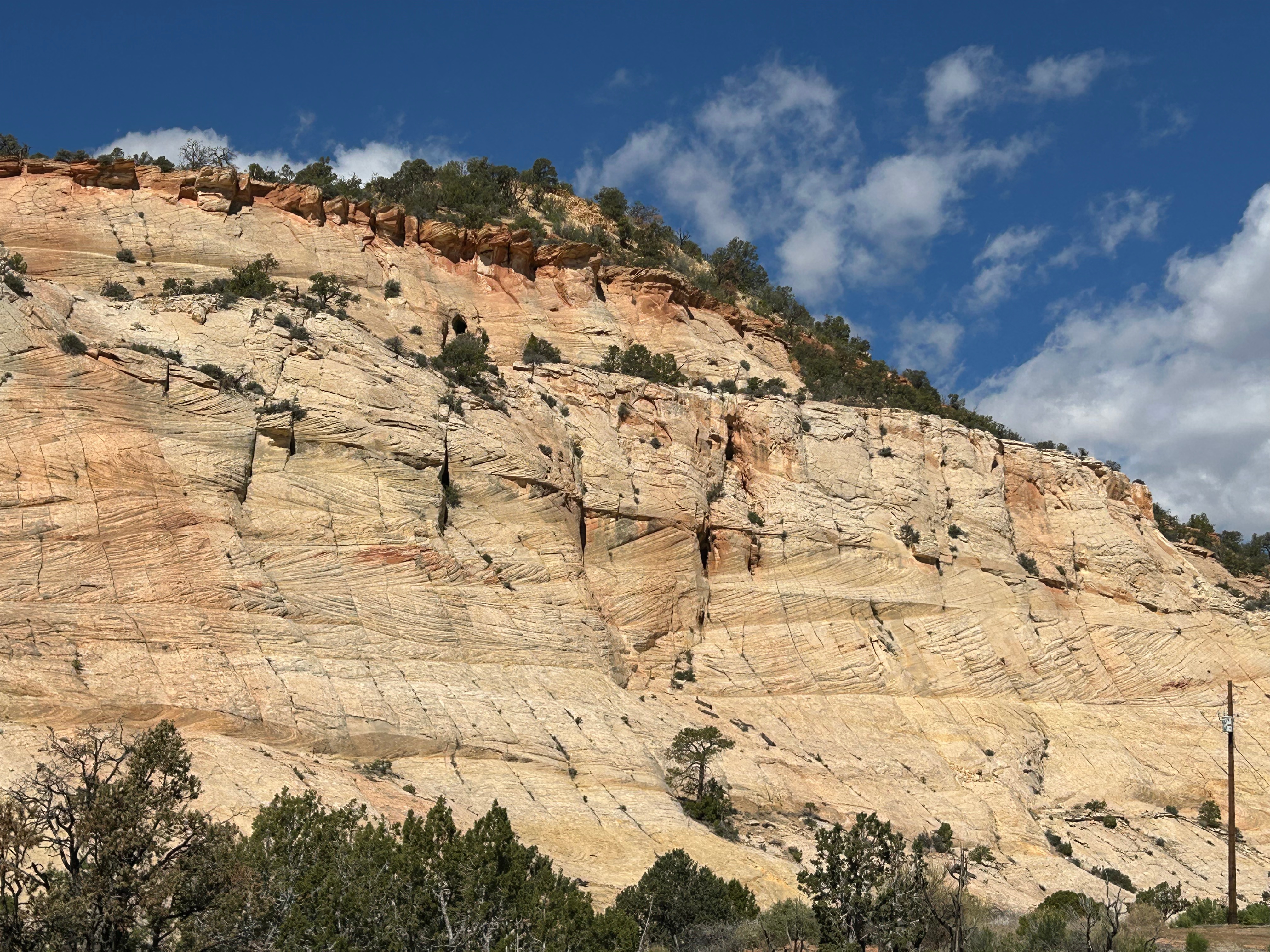
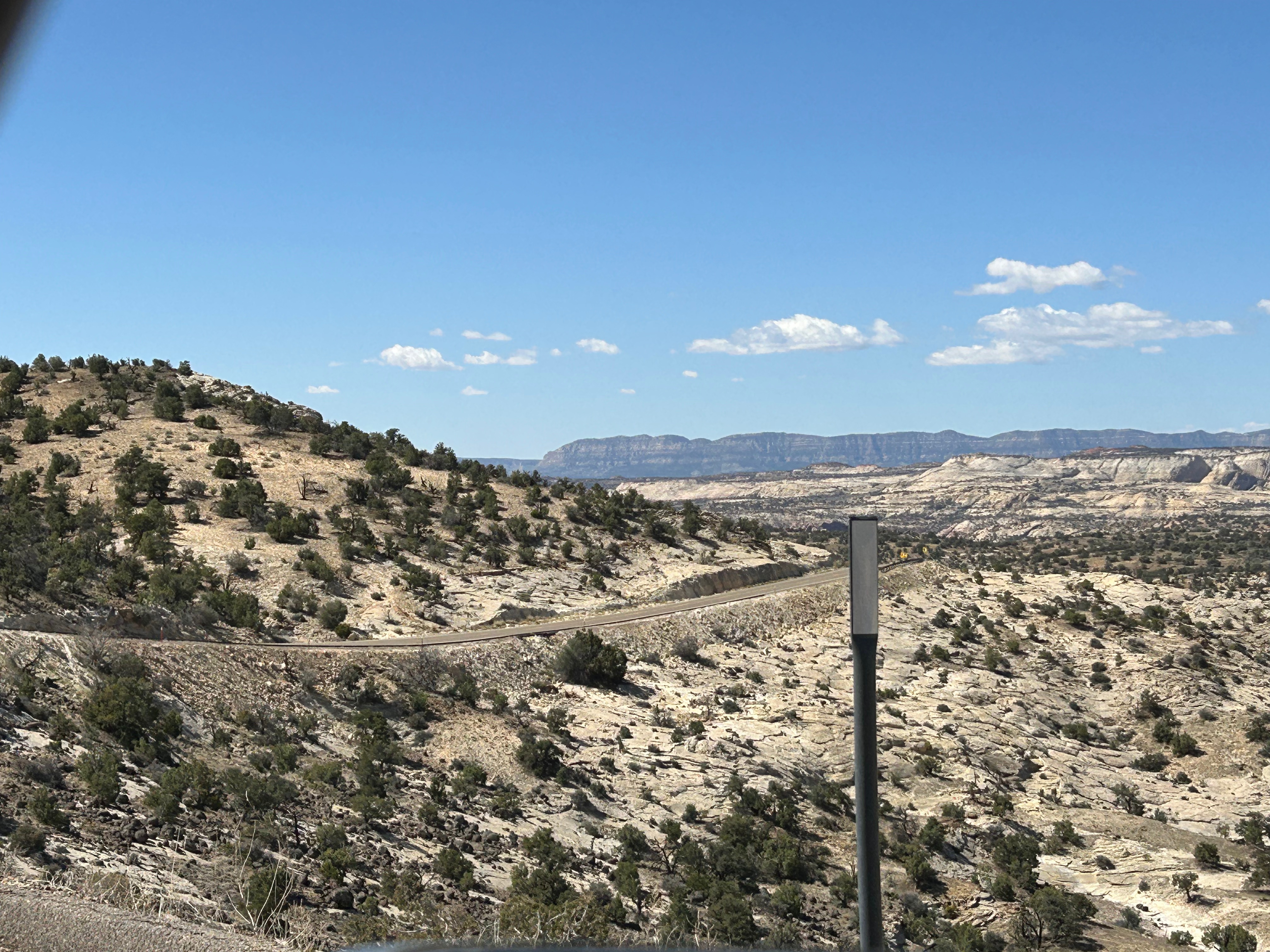
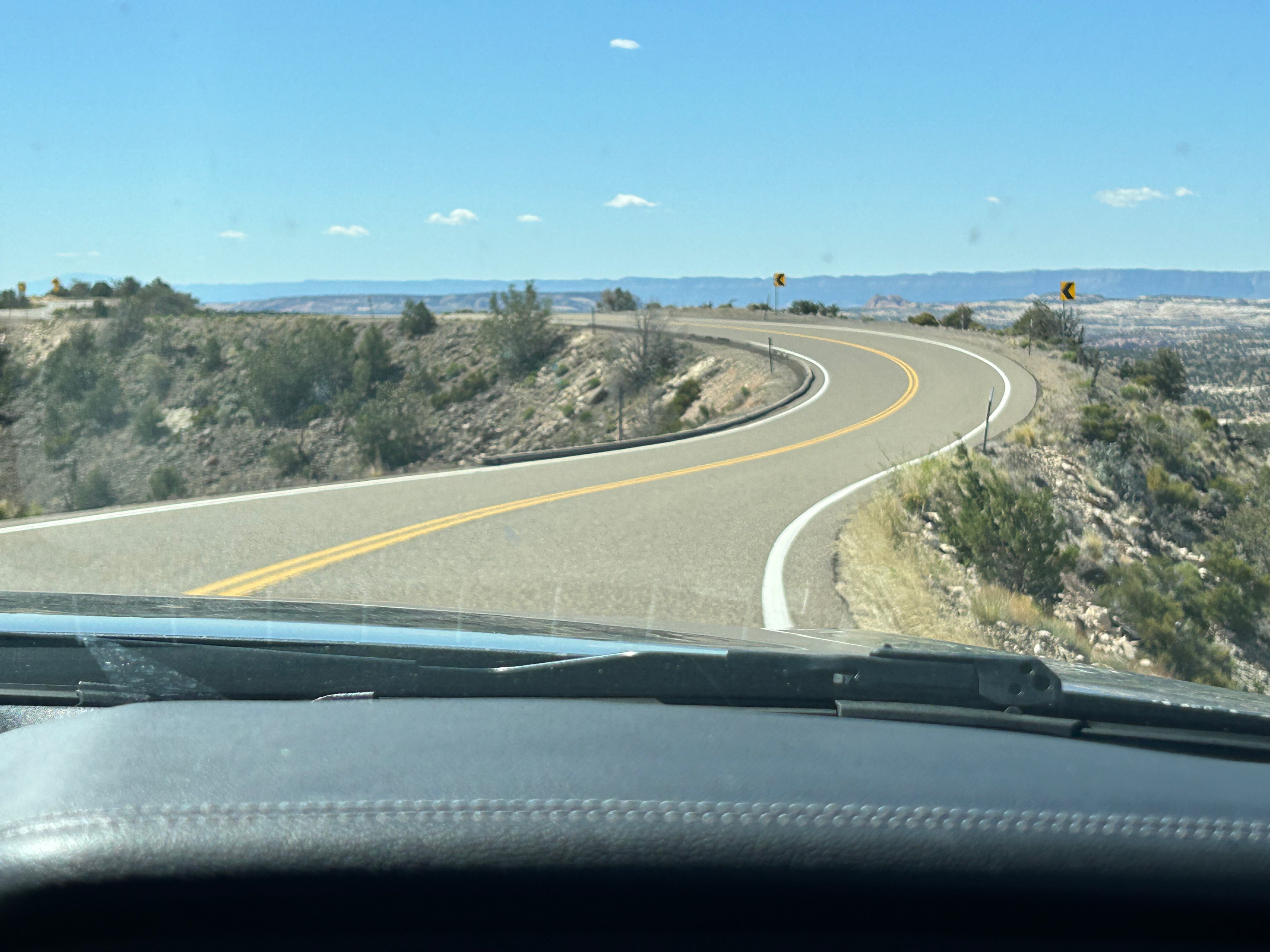
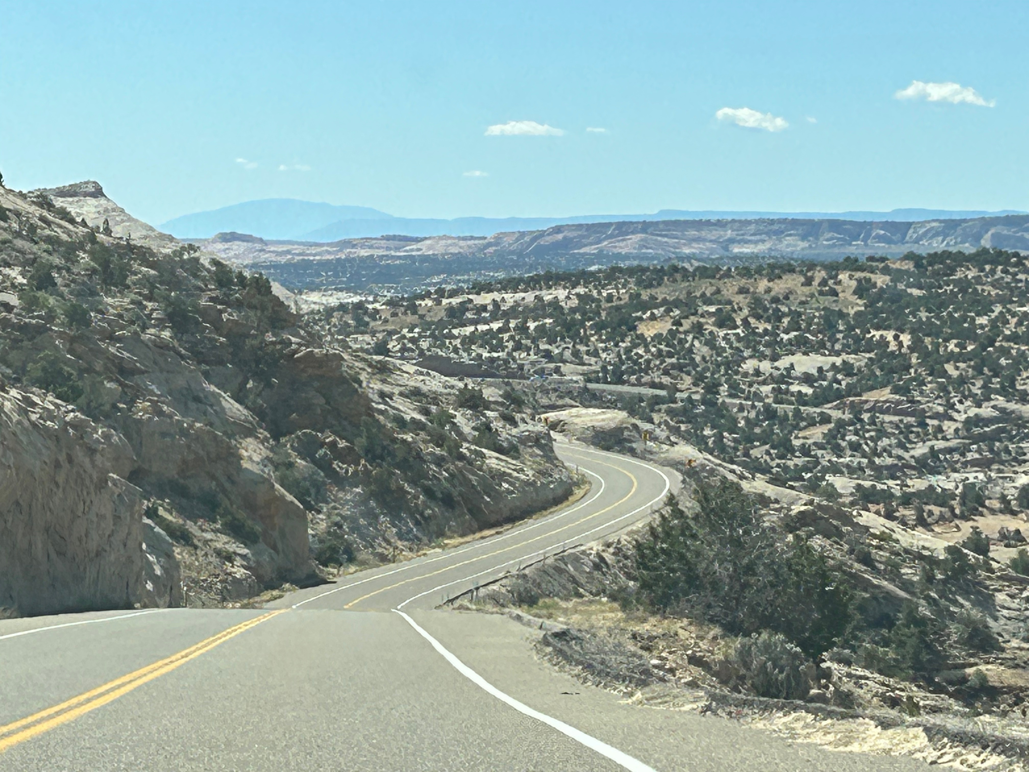
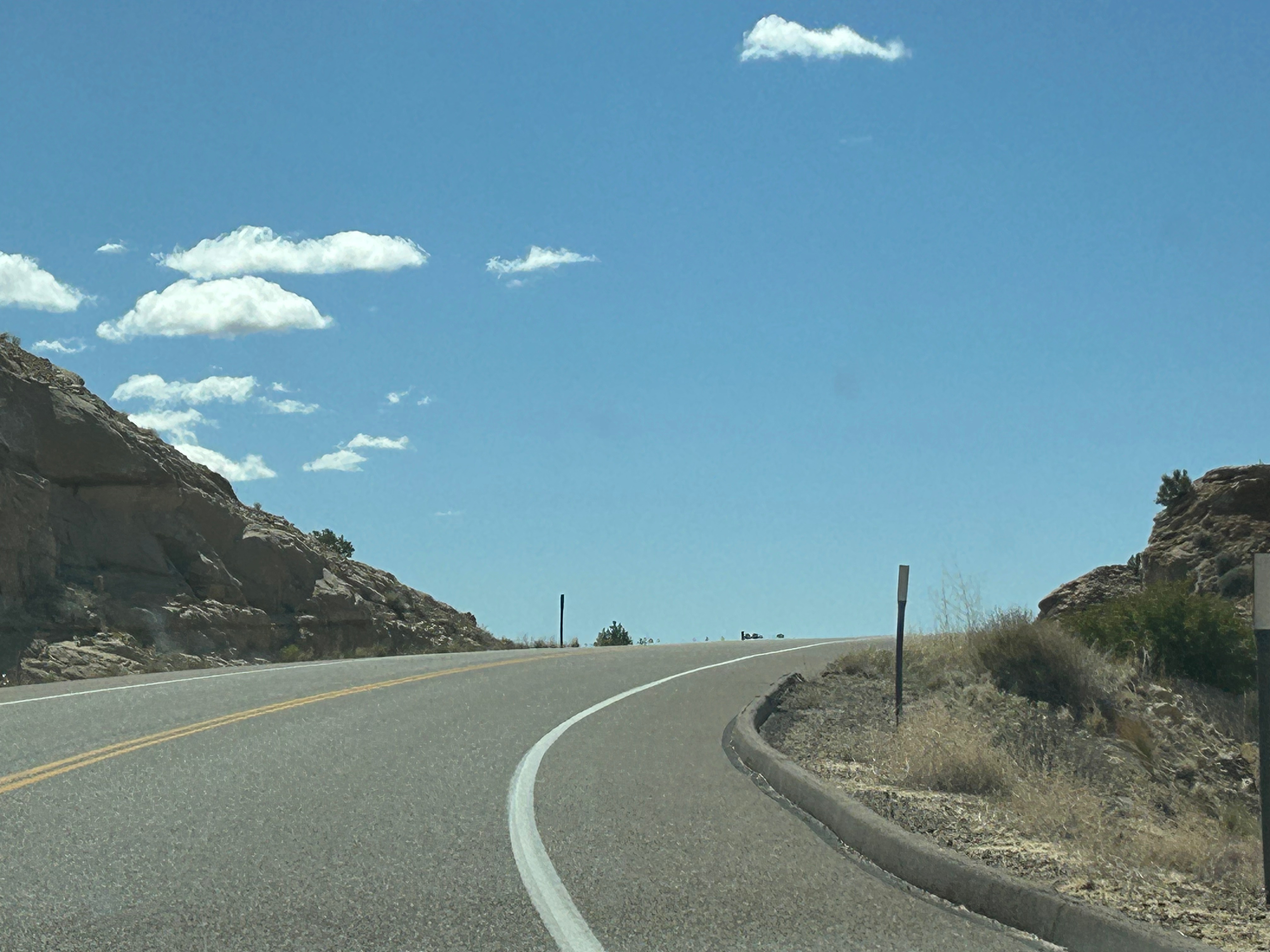
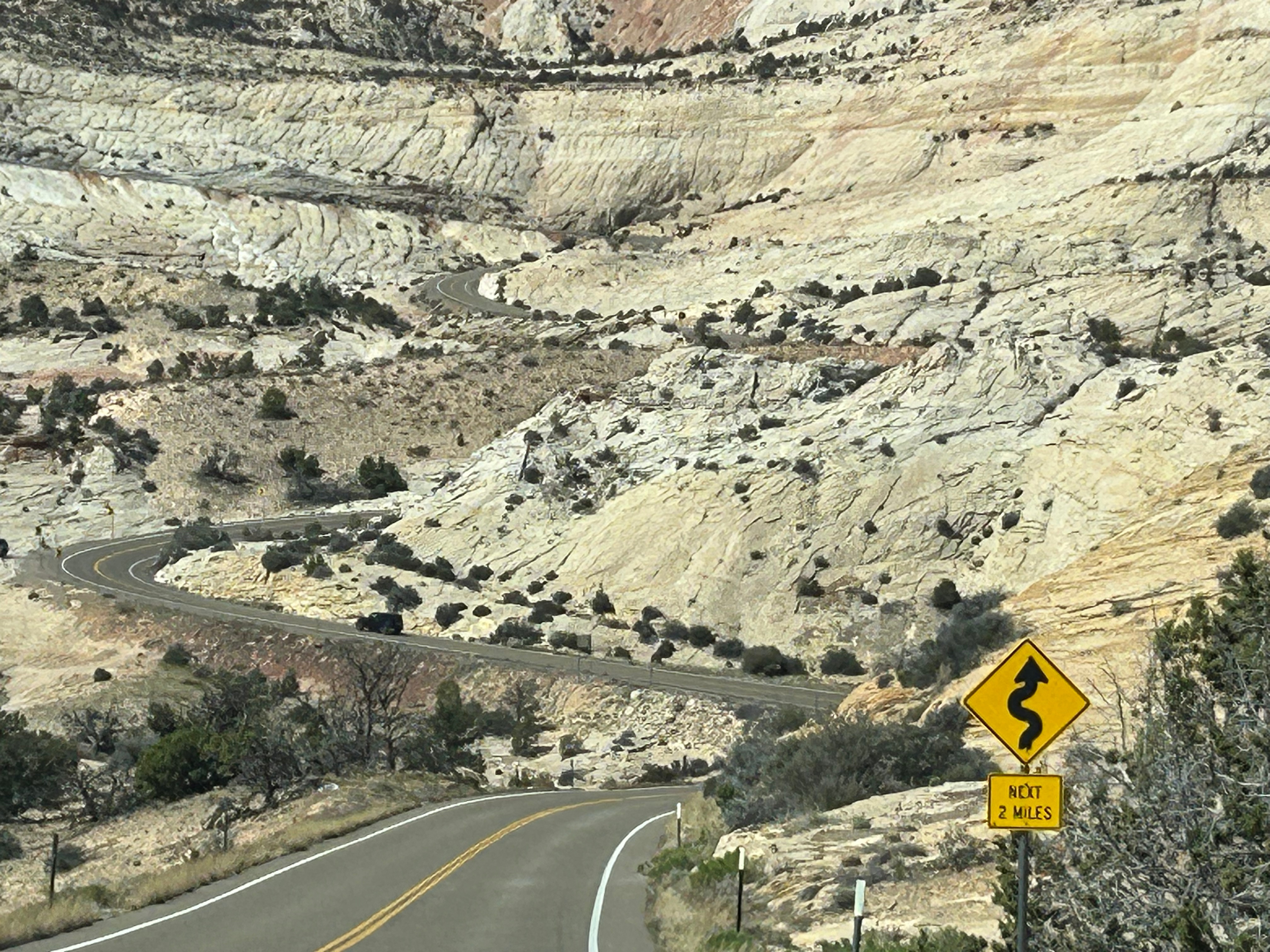
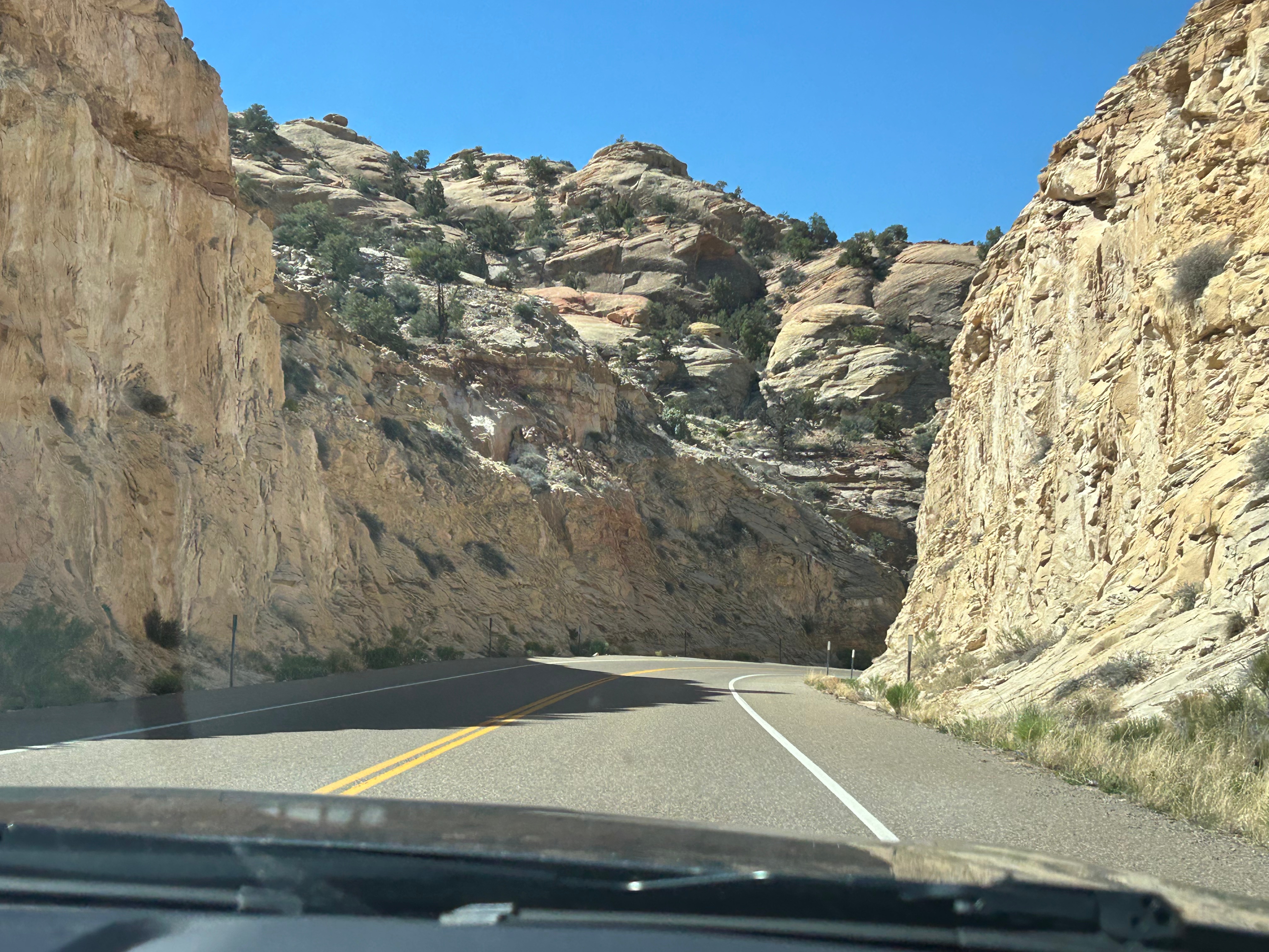
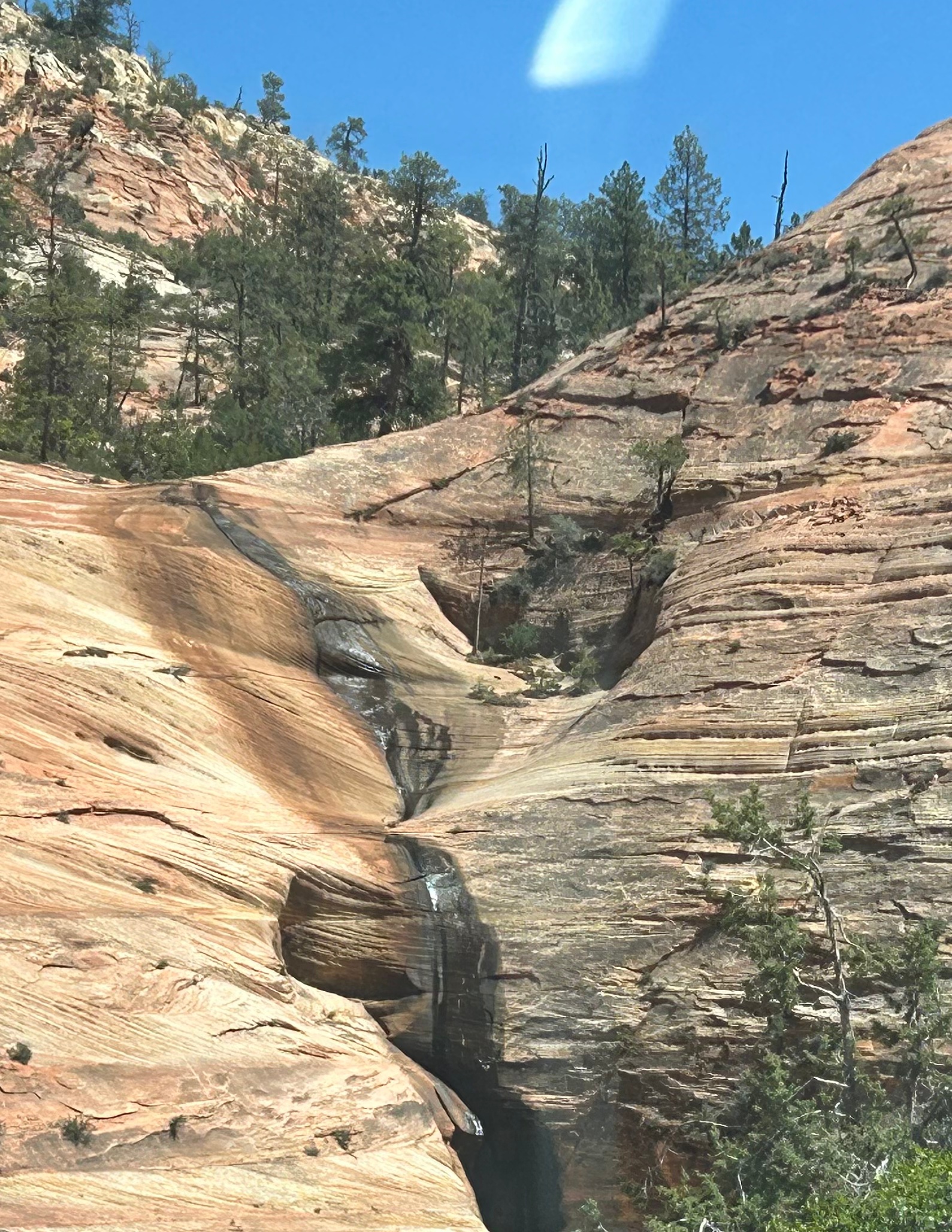
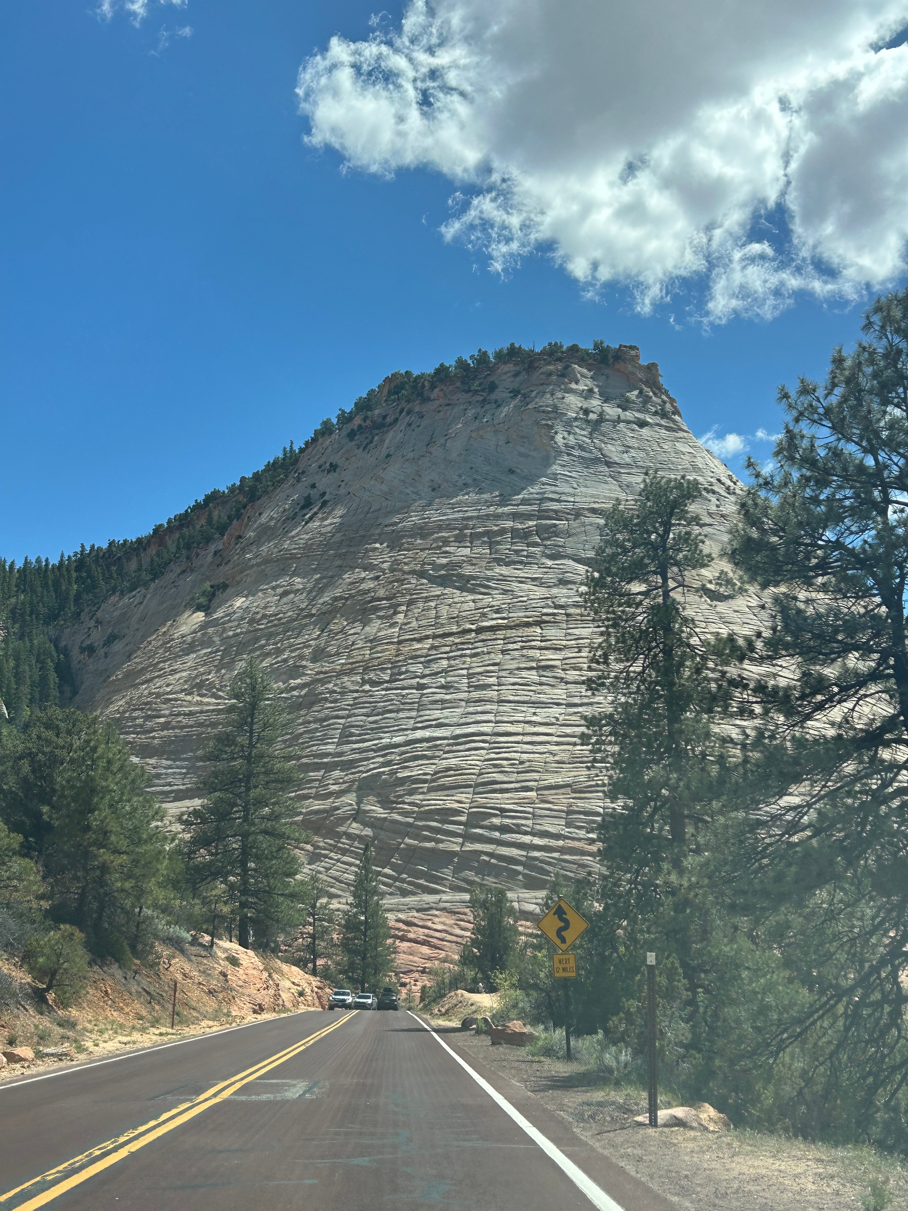
Onward, we took the longer way from Capitol Reef to Bryce Canyon, on Scenic Byway 12. This 100ish mile road was noted as being one of the best scenic drives in the United States. I was a little skeptical about that claim, as we’ve driven some fantastic roads across the country. However, I stand corrected. This was hands-down the best driving road we’ve been on. We climbed up and down through the mountains, going up to 9800 feet at the peak. We went through Slot Canyon and parts of the Dixie National Forest as well as the Escalante region. Some of the roads were merely a path across the top of a ridge, with nothing around you on either side (unless you looked way down). The curves and the switchbacks were grand and sweeping, much of the way. In many sections, it was like our own personal rollercoaster! (Side note: those poles you occasionally see along the road’s edge are snow markers, so you know where the road is during winter. No way on earth would I be on a road like this in winter…trying to stay on the road by watching the poles!!!)
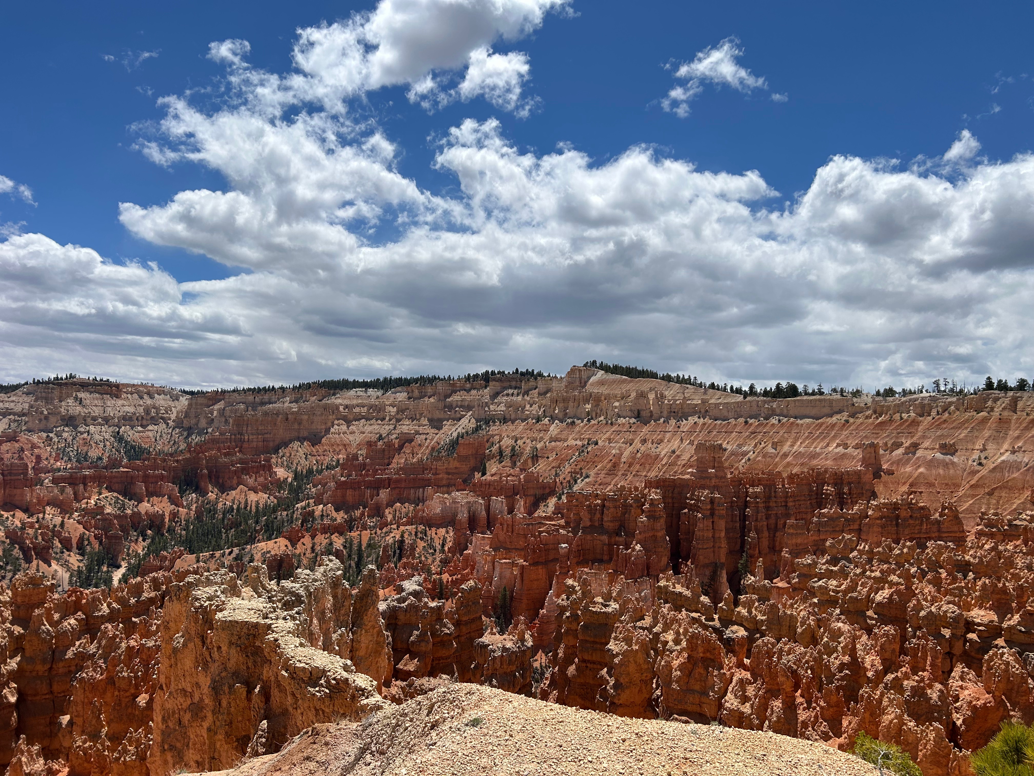
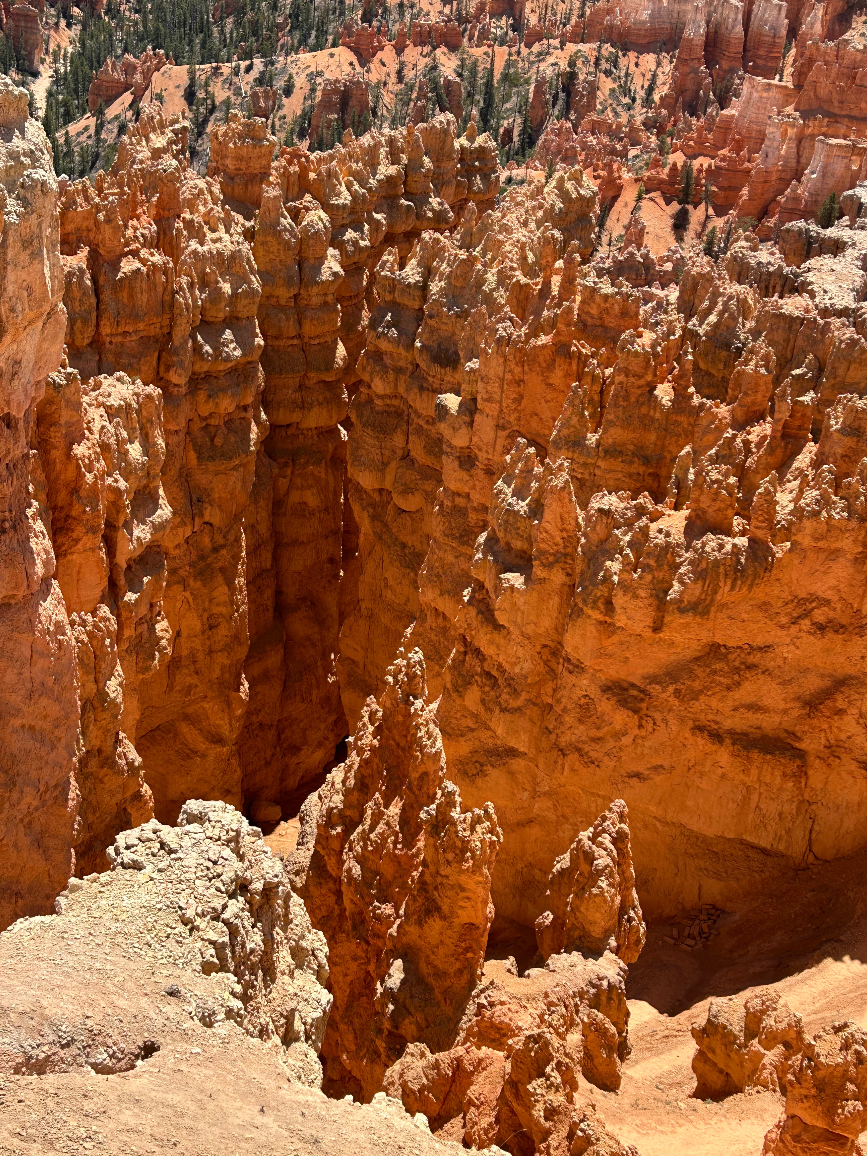
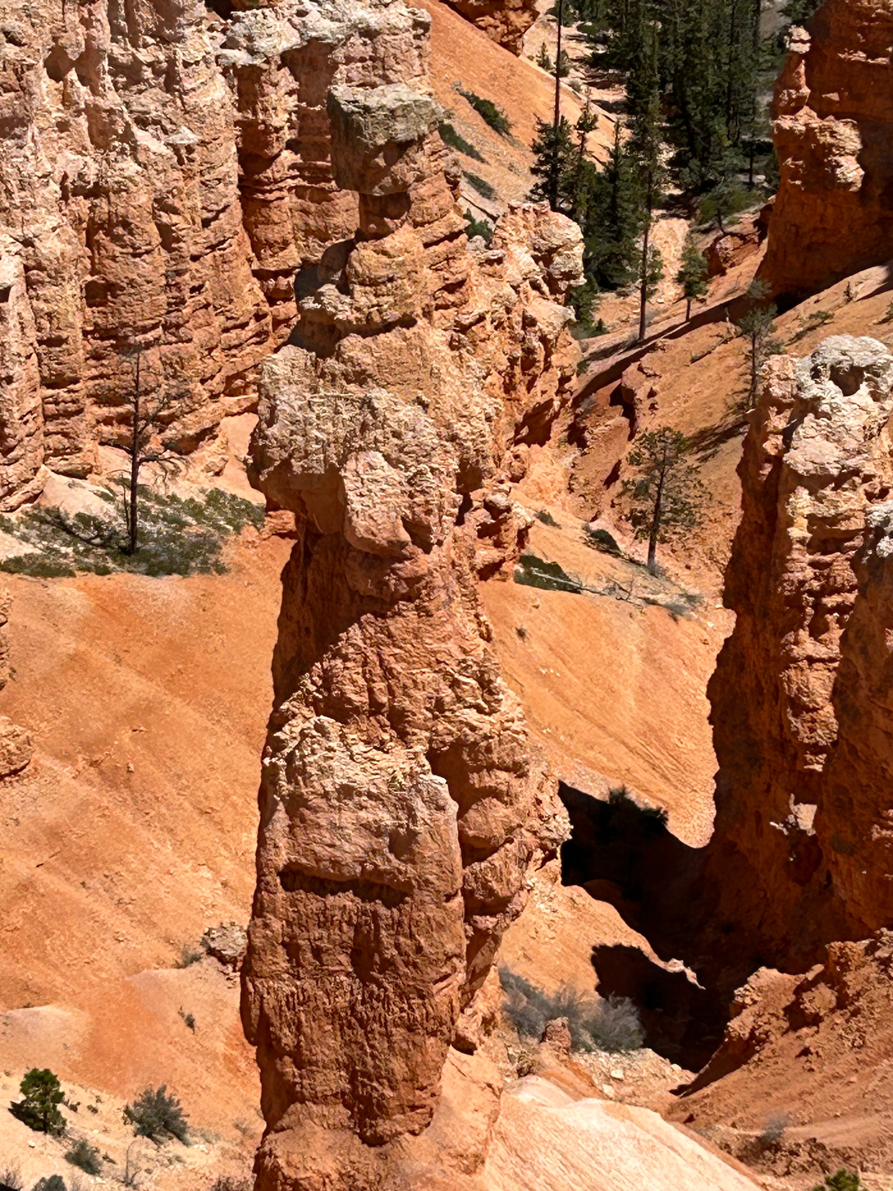
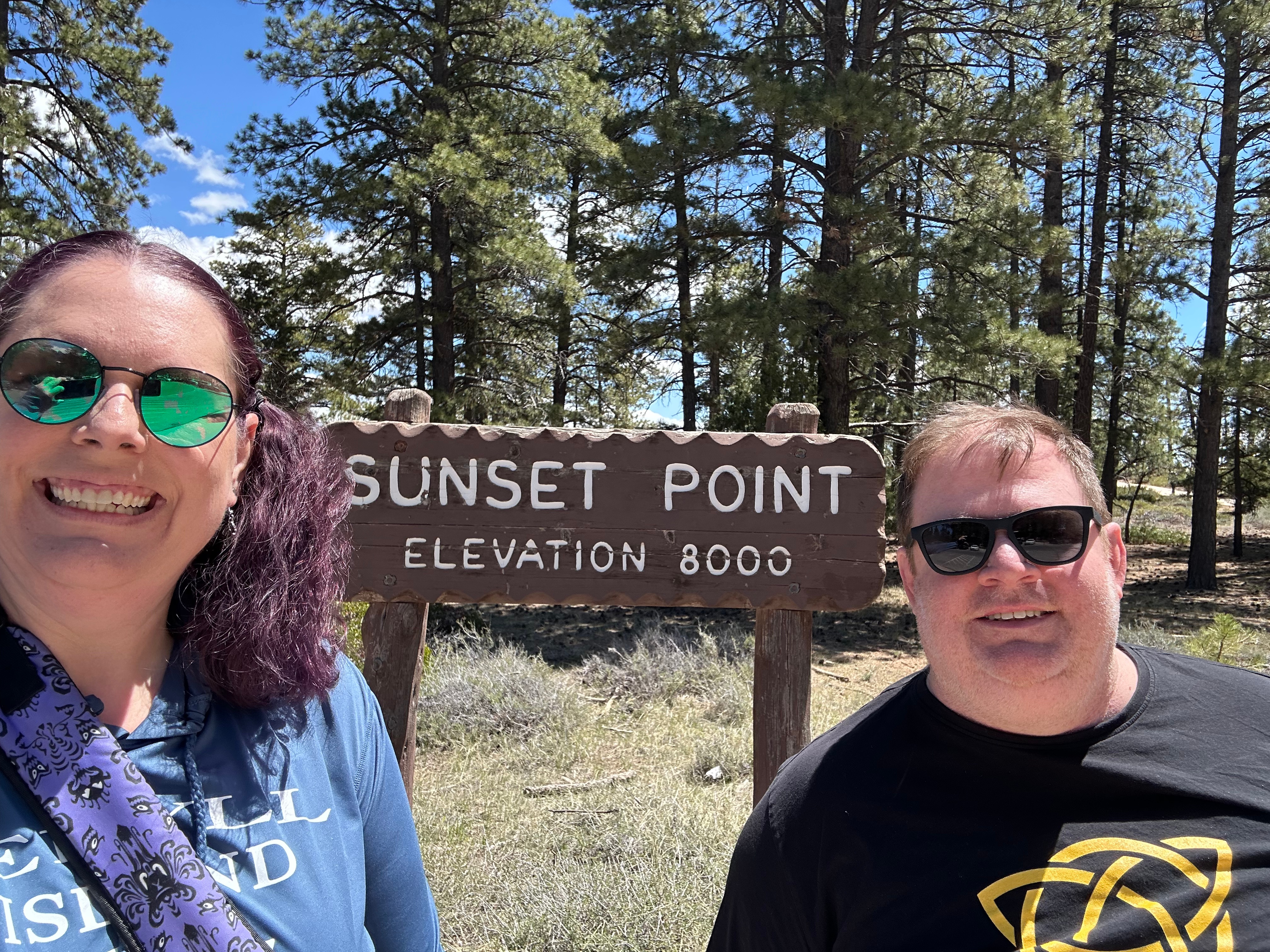
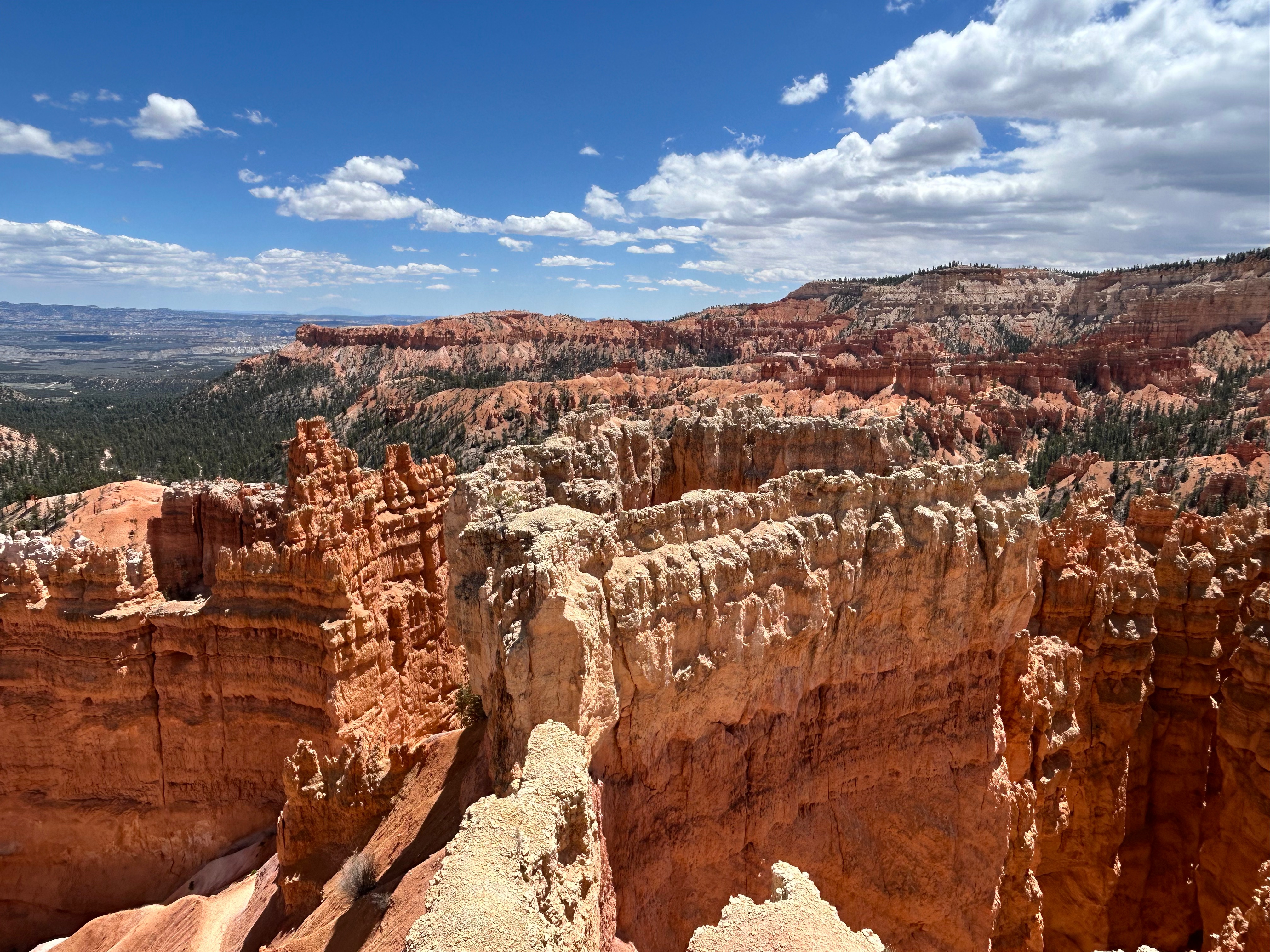
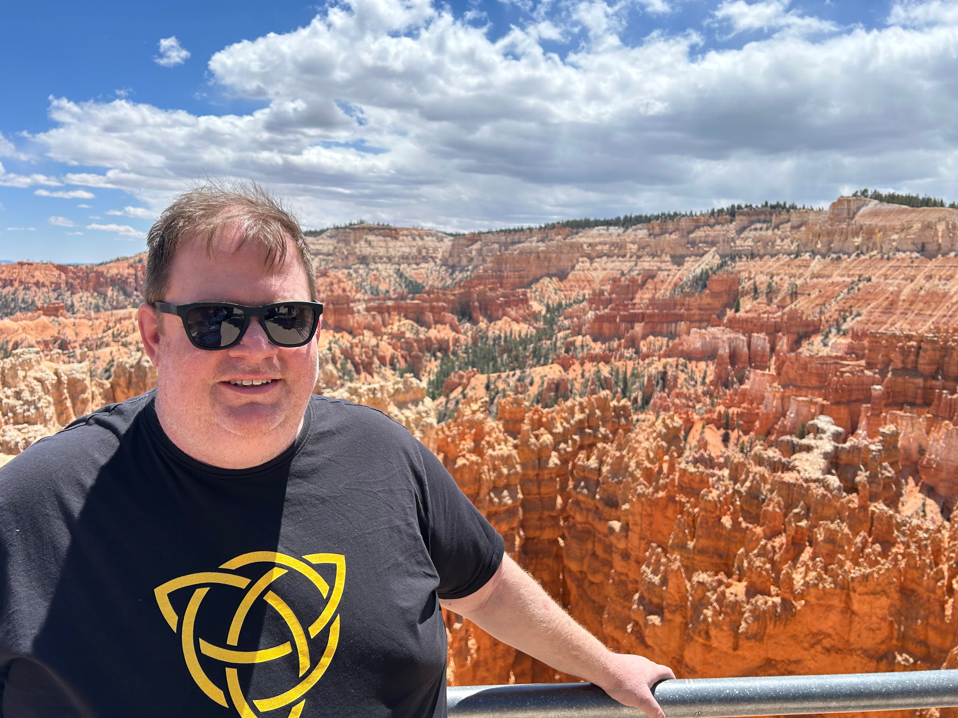
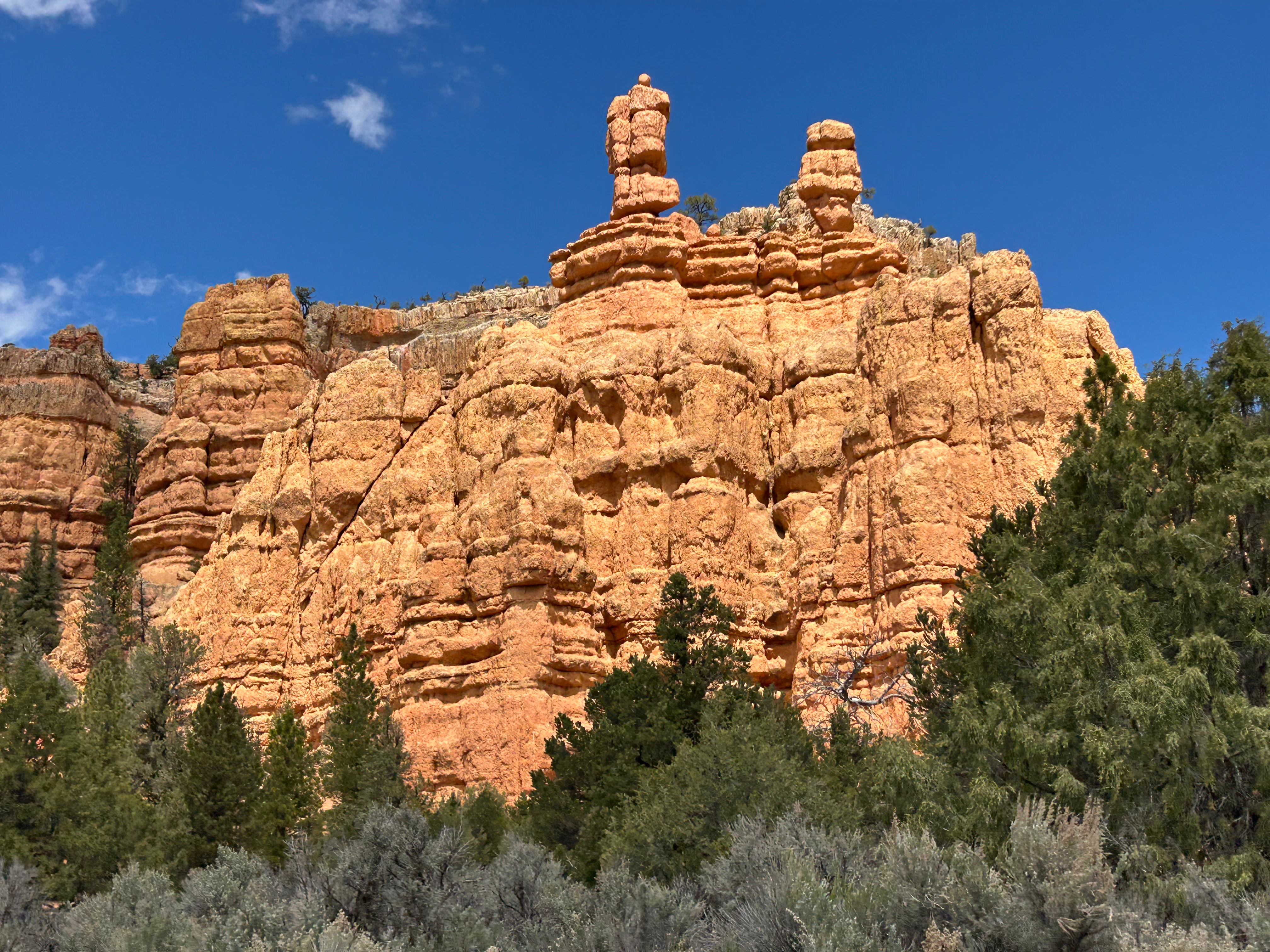
Our next stop was Bryce Canyon National Park. Although only two hours from Capitol Reef, it was a different landscape. There were still the classic canyon views and arches, yet upon a closer look you could see the unique formations in the area–the hoodoos. Bryce has the largest collection of the hoodoos (irregular rock spires) in the world. We traveled the Bryce Amphitheater section of the scenic drive and picniced at Sunset Point. It was nowhere near sunset and we would be nowhere near by at sunset, but considering we love a good sunset, this seemed like the perfect picnic spot for us. We soaked up the sun and just marveled at this spectacular spread of nature’s art. From our vantage point, we could see some of the classic formations: Bryce Point, Inspiration Point, and Thor’s Hammer. We could have stood there all day, as every single hoodoo looked different from the one next to it. It was truly mesmerizing.
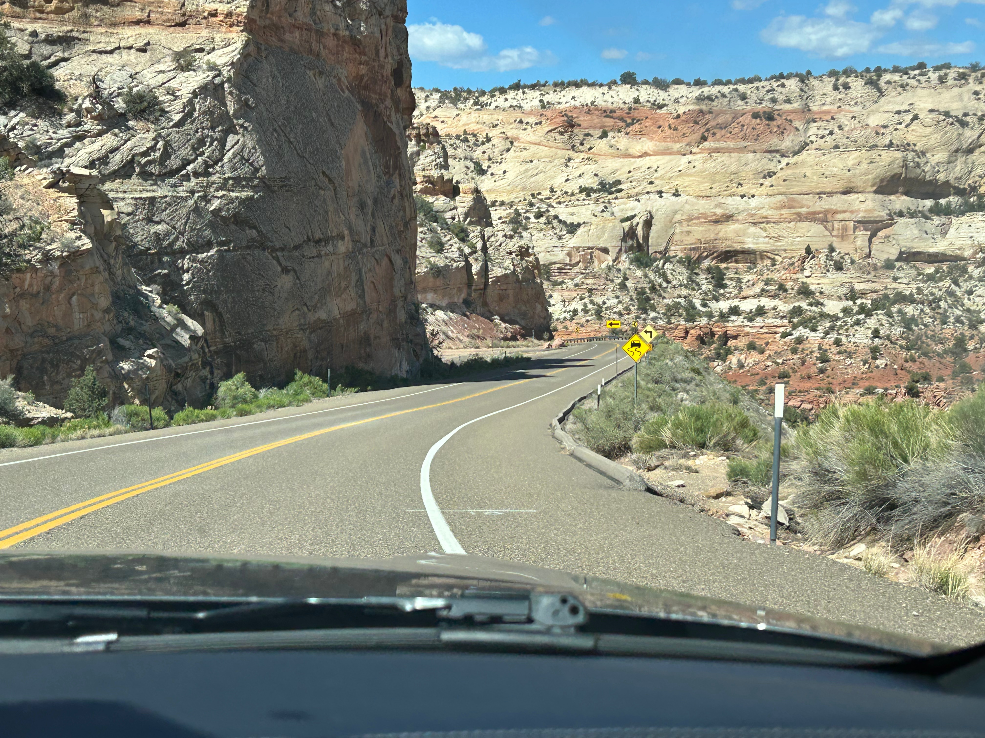
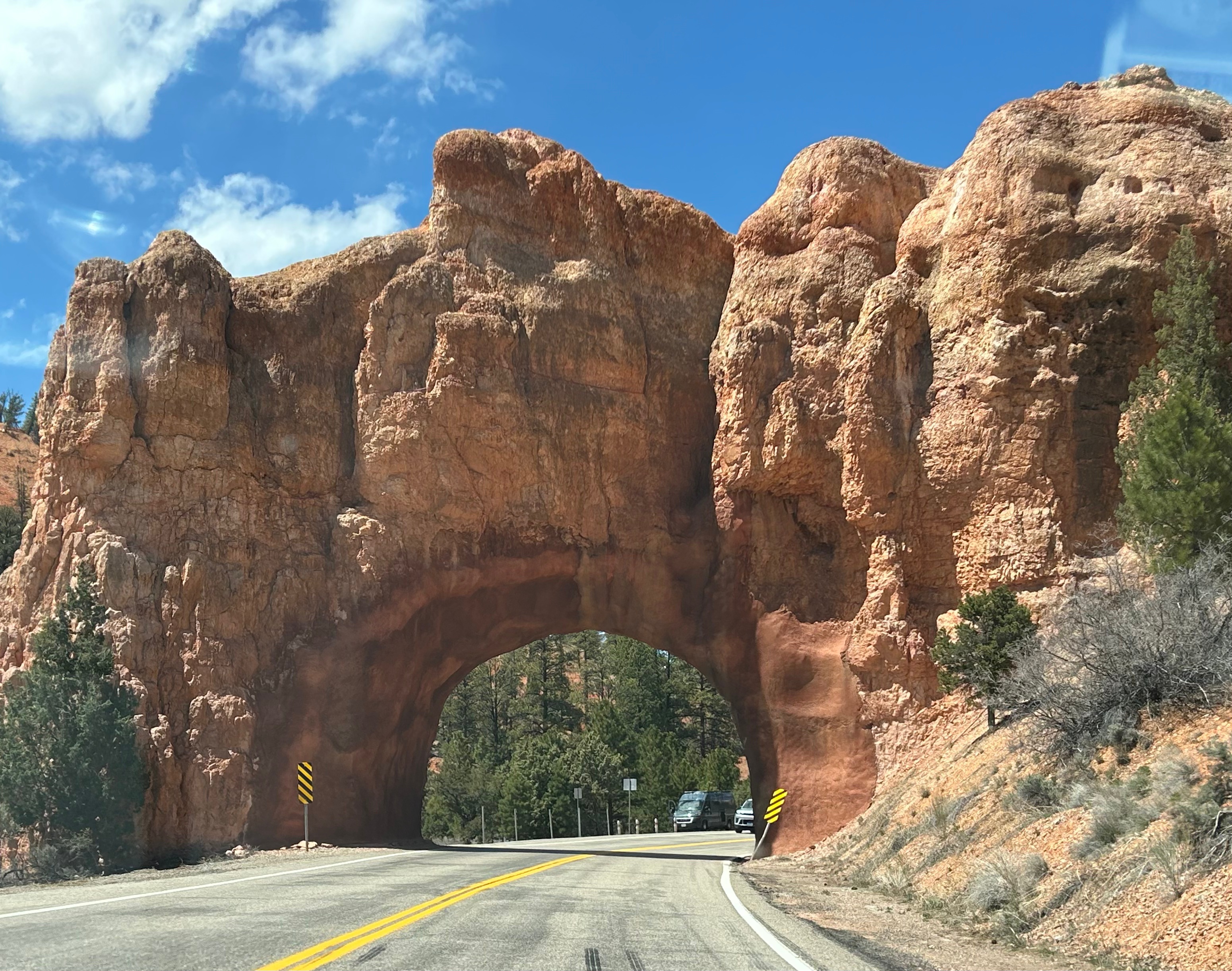
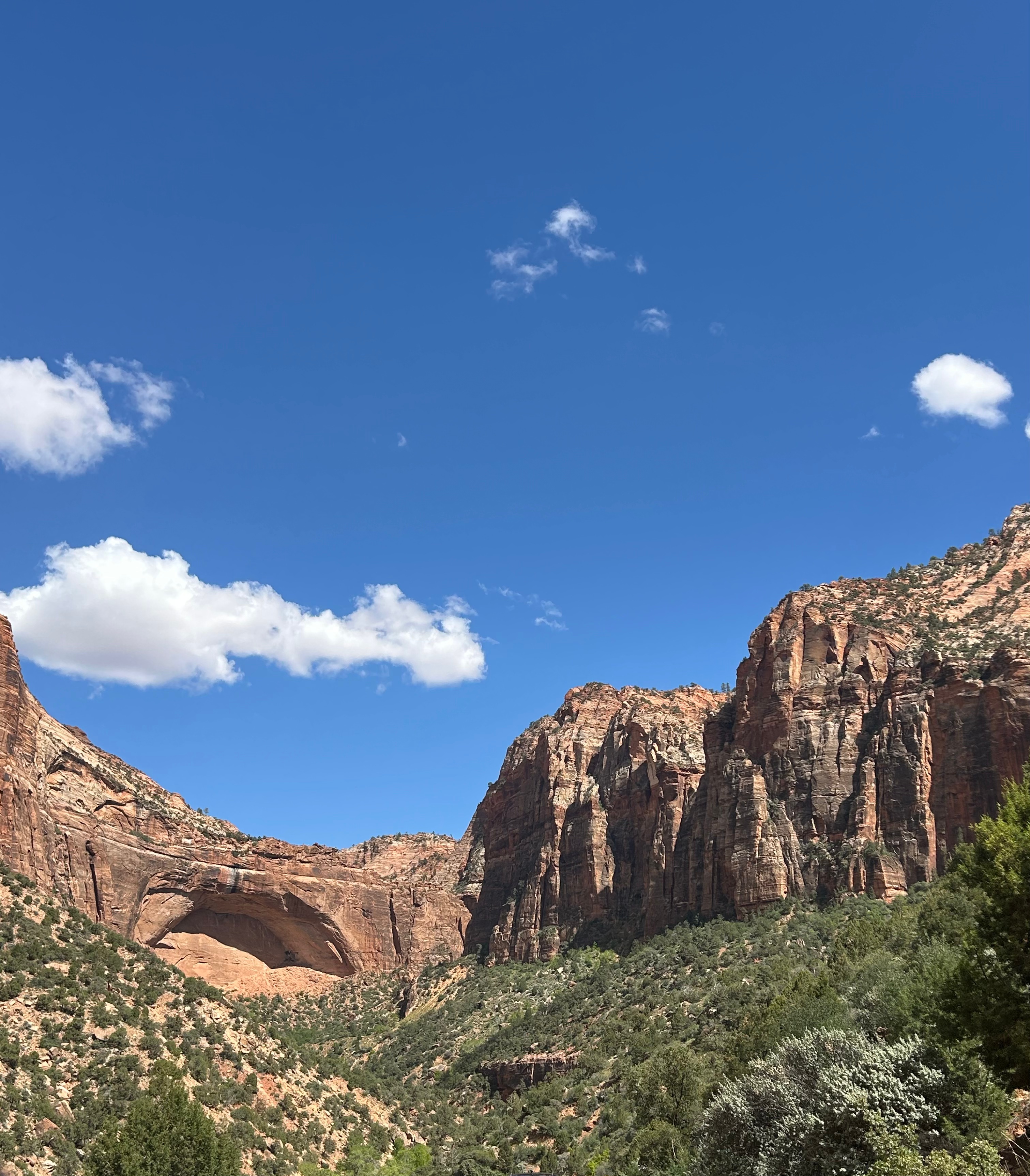
We left Bryce and headed towards Zion. We thought the best drives and the best parks were behind us, but we were wrong. We drove through the Red Canyon out of Bryce, and it was a really cool road with some good curves and several rock tunnels.
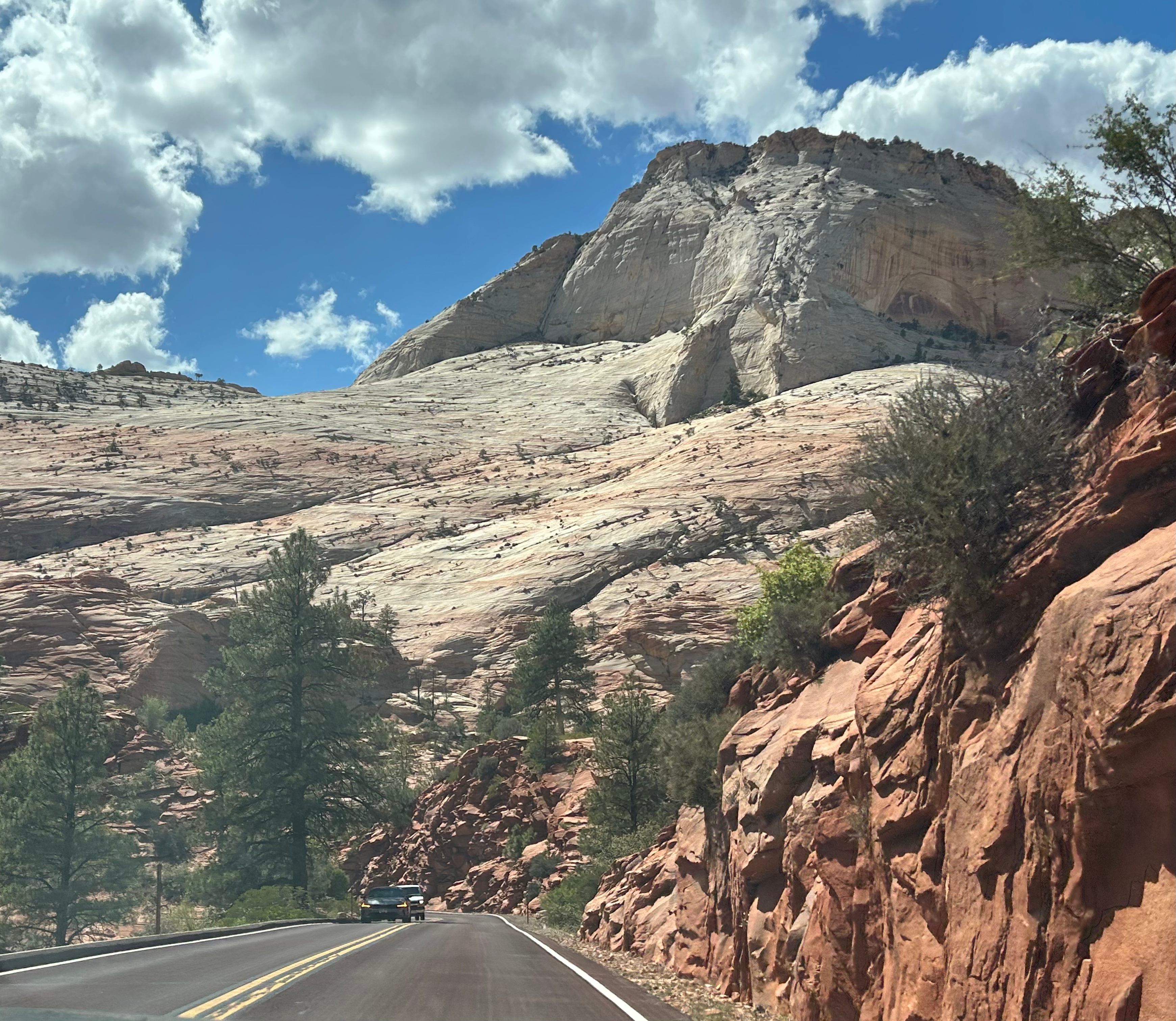
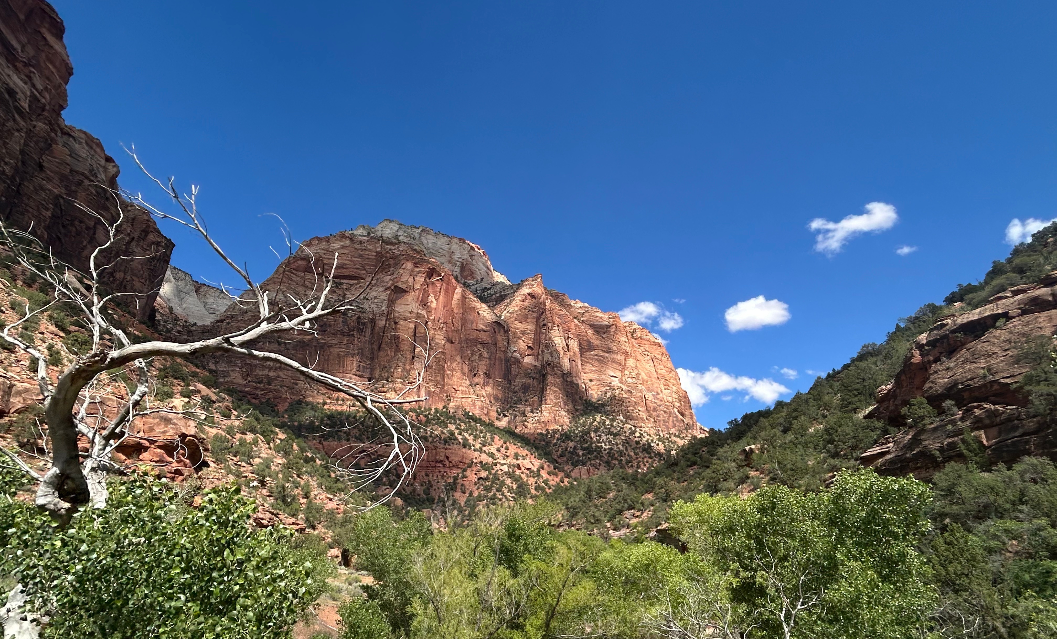
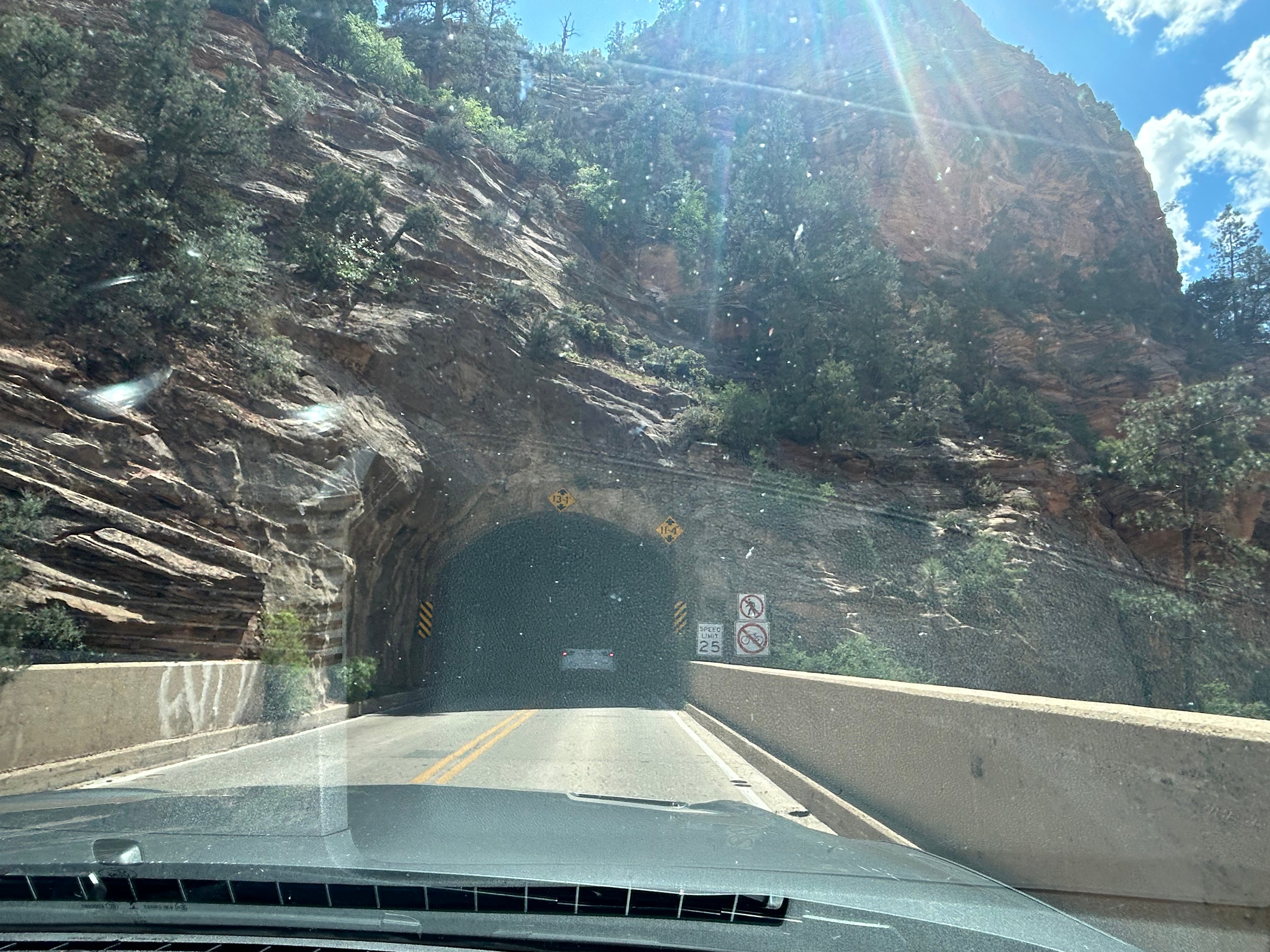
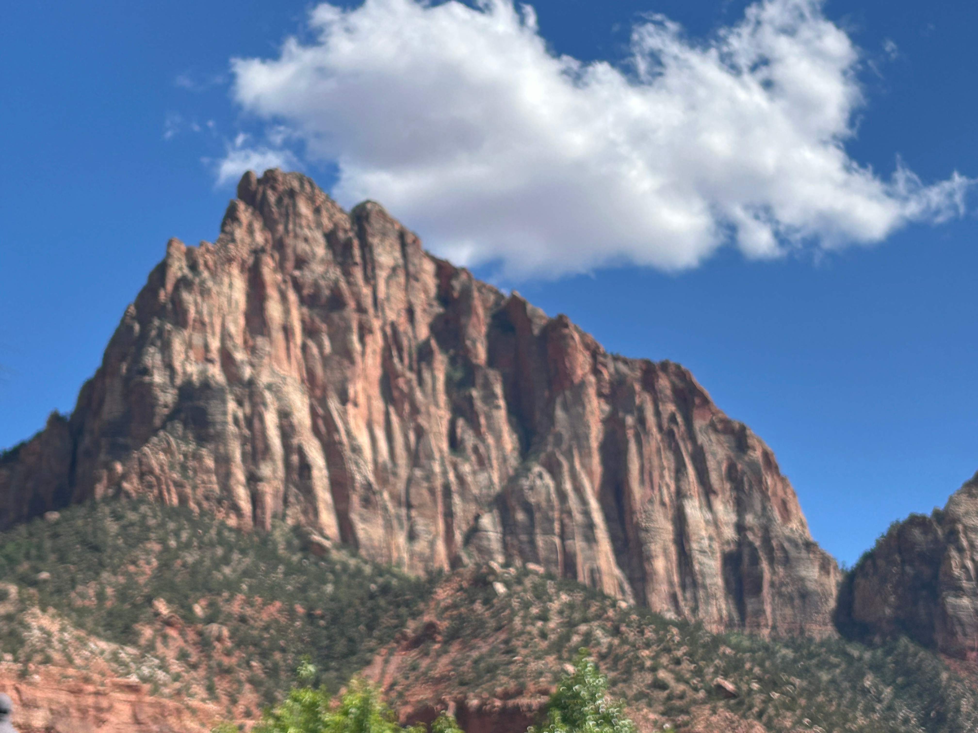
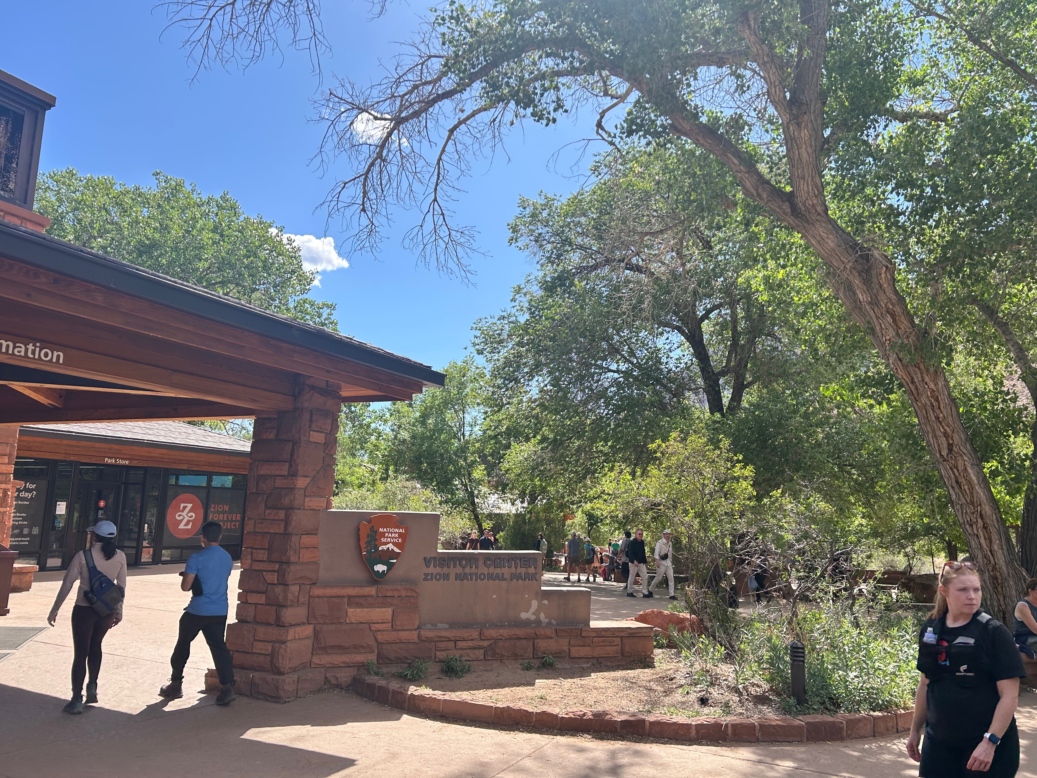
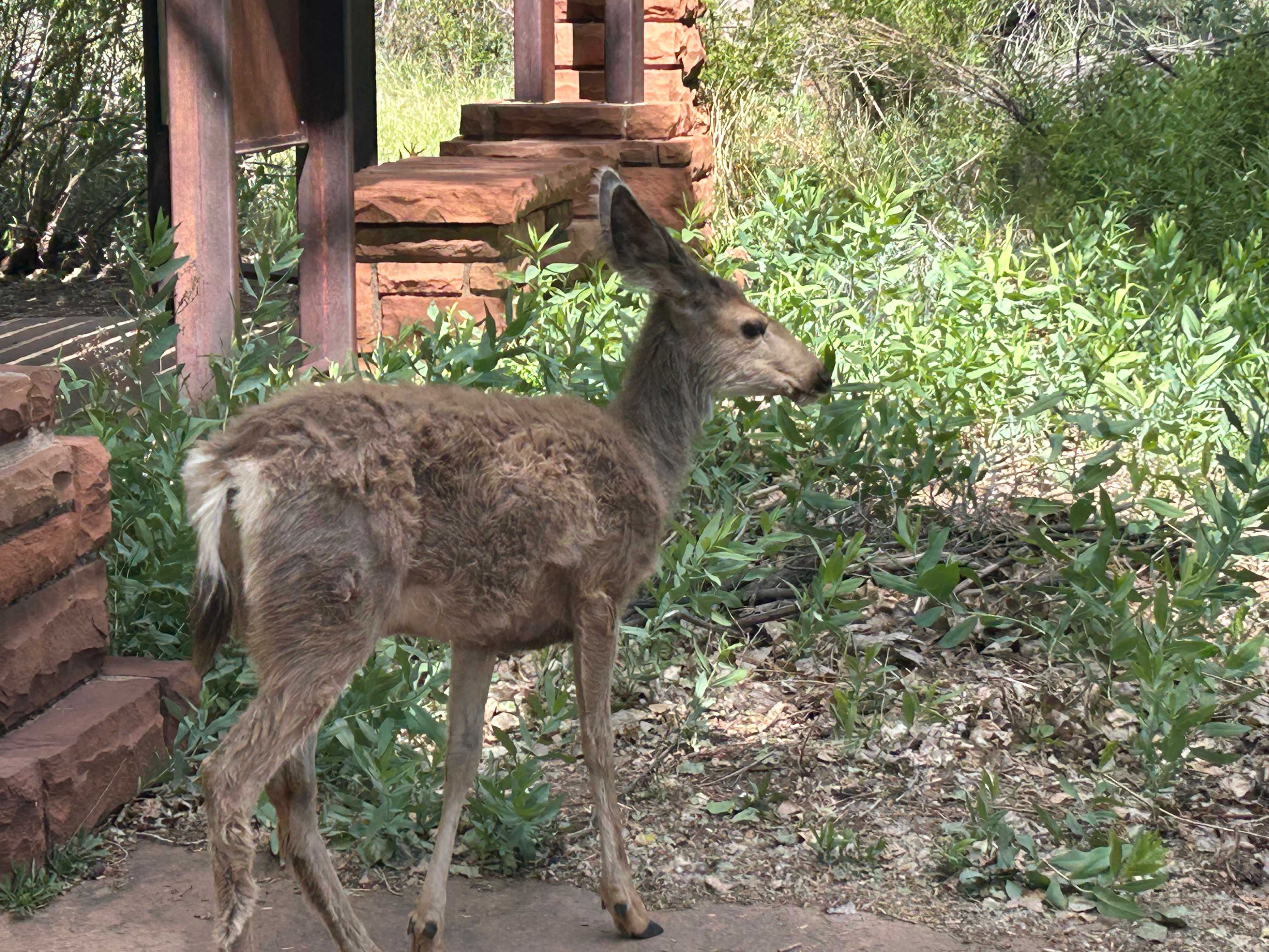
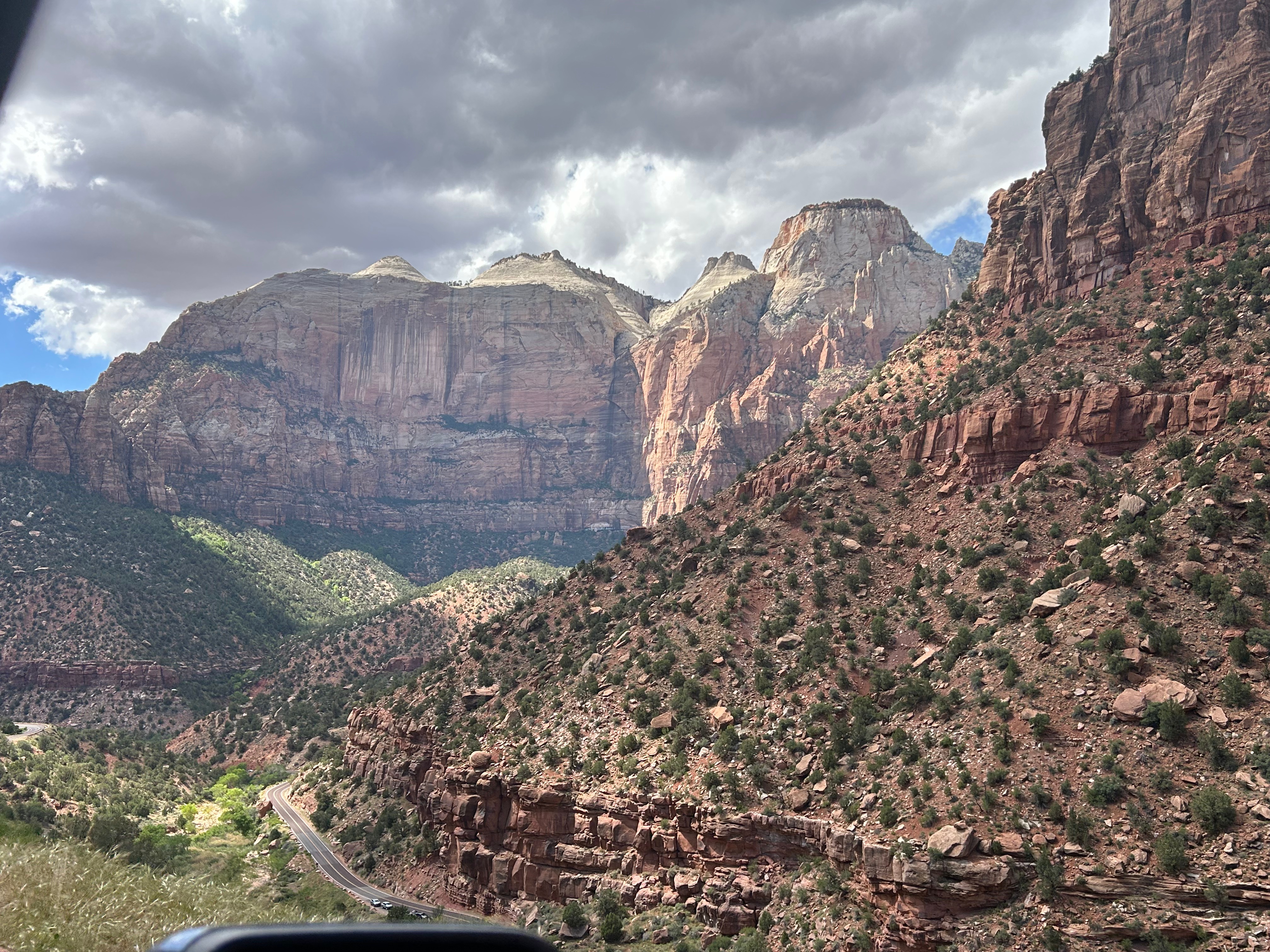
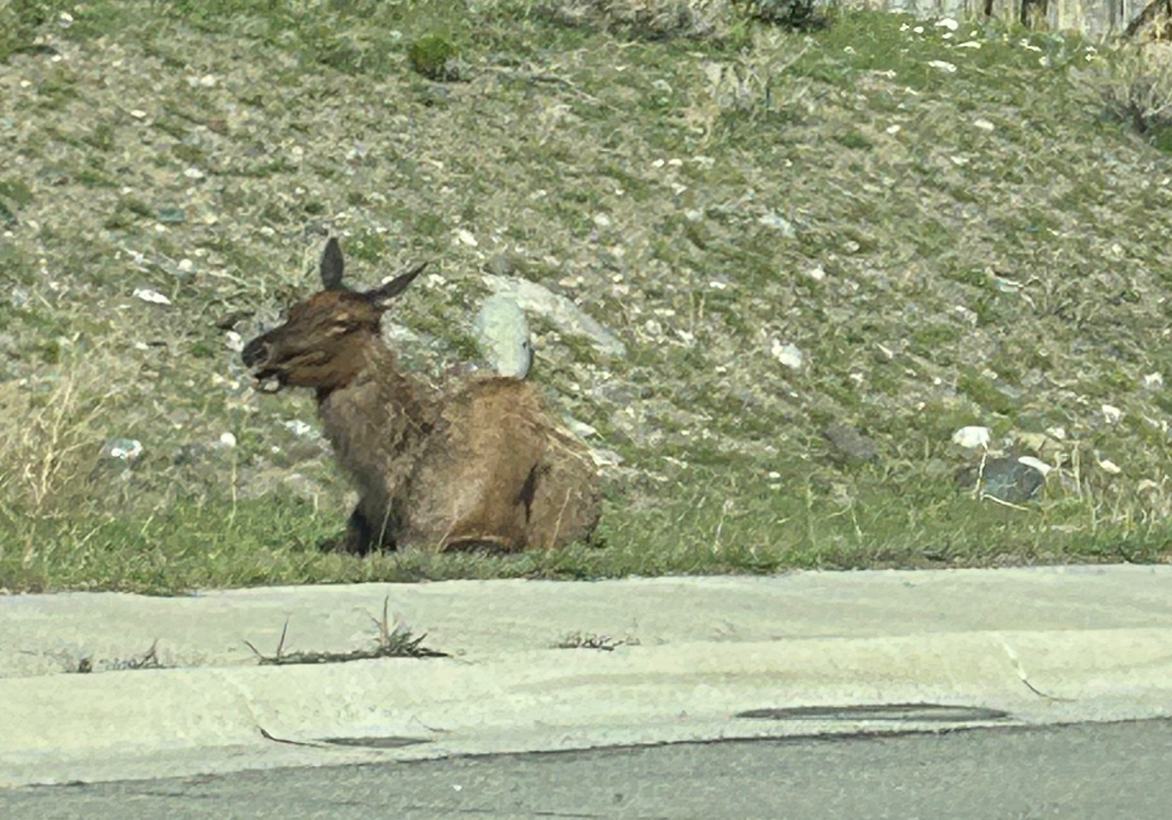
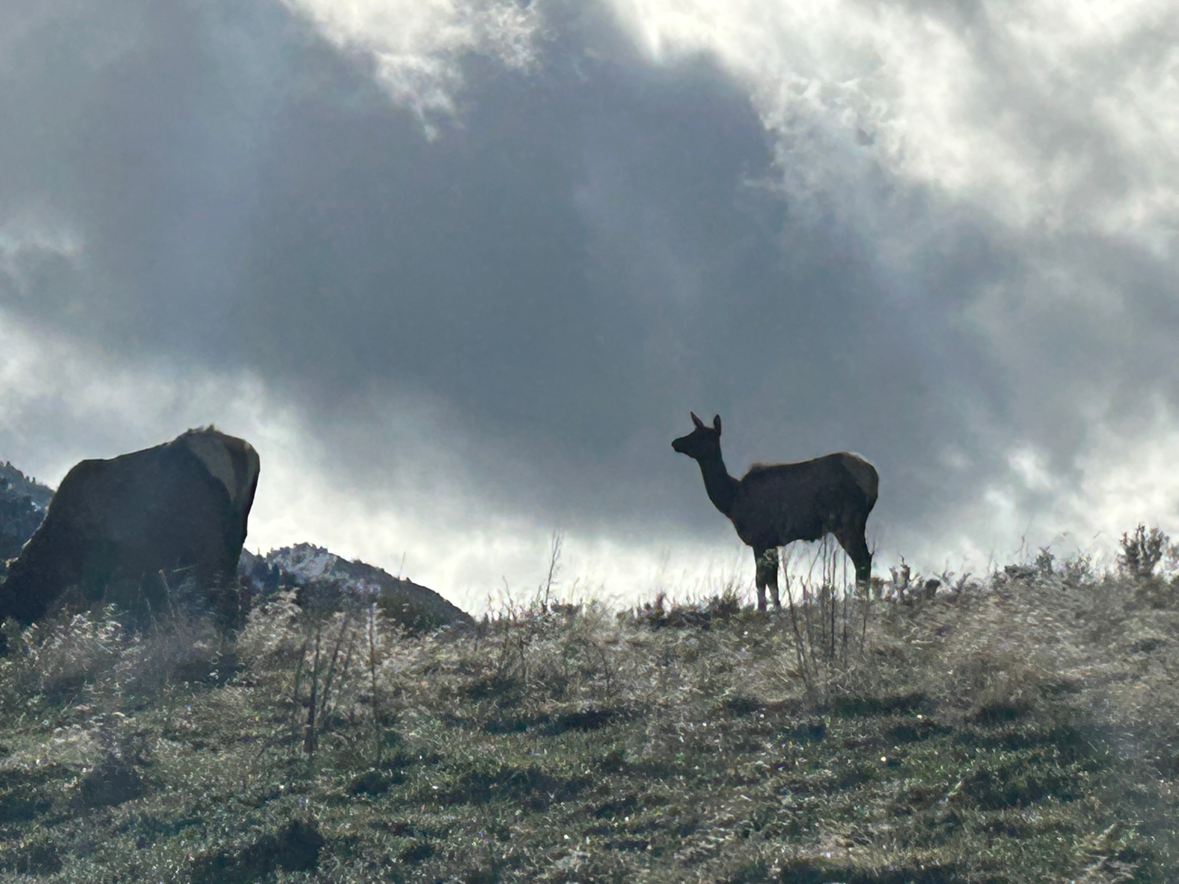
Out of nowhere, we reached Zion National Park and couldn’t believe our eyes. We were in the land of giants. Thom remarked how it was cosmic in scale…reminding you just how small you are. It truly was a jaw-dropping experience. We wound our way through the park with insane views at every corner. Halfway through, we went through one of the longest tunnels in the United States at over a mile long. Every so often, there would be a “tease” of the grandeur awaiting you with gallery-styled “windows” carved into the rock so you could have periodic glimpses of the canyon. Our stop at the visitor center was brief, as this was definitely the most crowded national park I’ve ever been to. It was cool how many of the museum exhibits and signs were actually outside under small tree canopies, but it didn’t eliminate the obvious feeling of crowding. We didn’t linger long, but did get to see a lovely mule deer on the way out. As we saw the last bit of Zion, we just couldn’t get over how exhilarating it was. It was an unreal day to see so many amazing sights…ones that just seemed to get better and better. We’re beyond blessed!
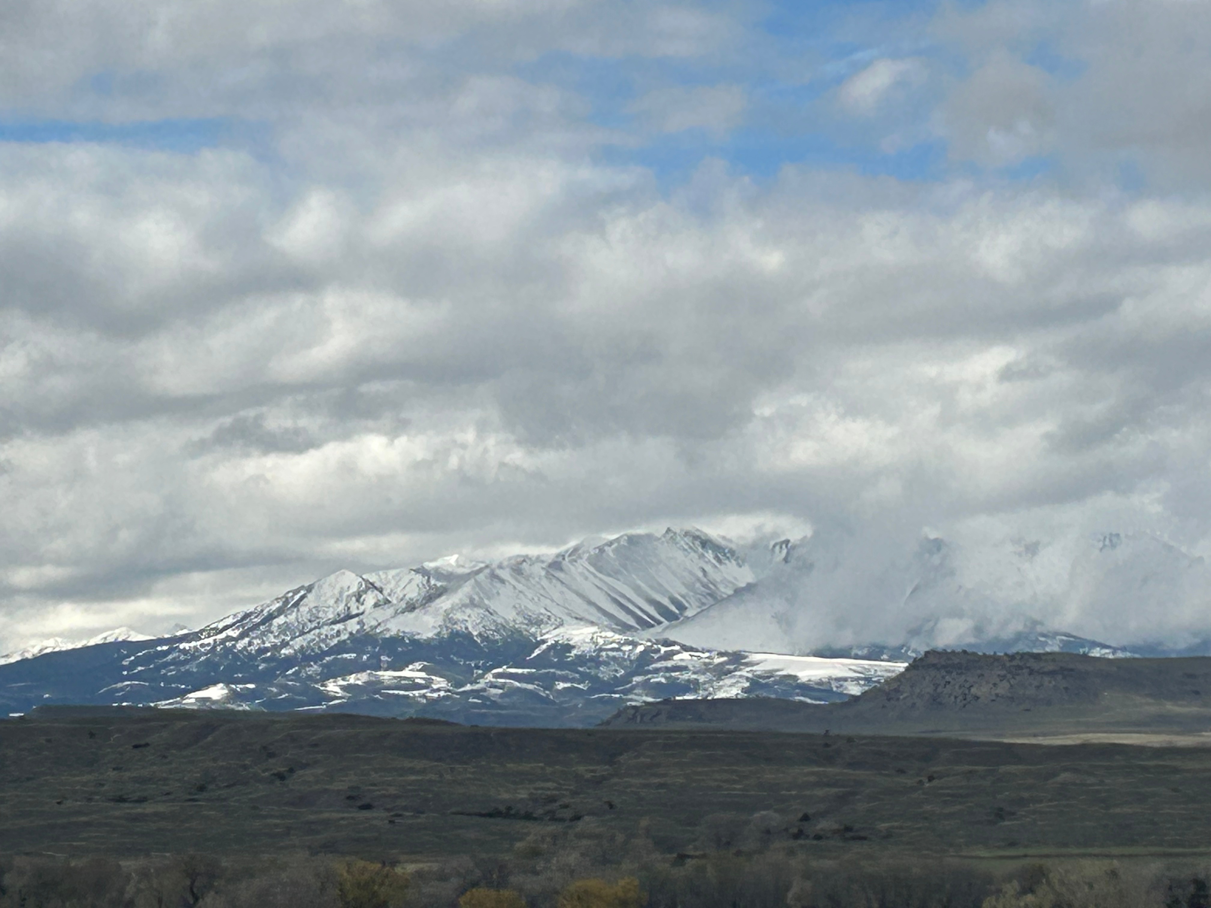
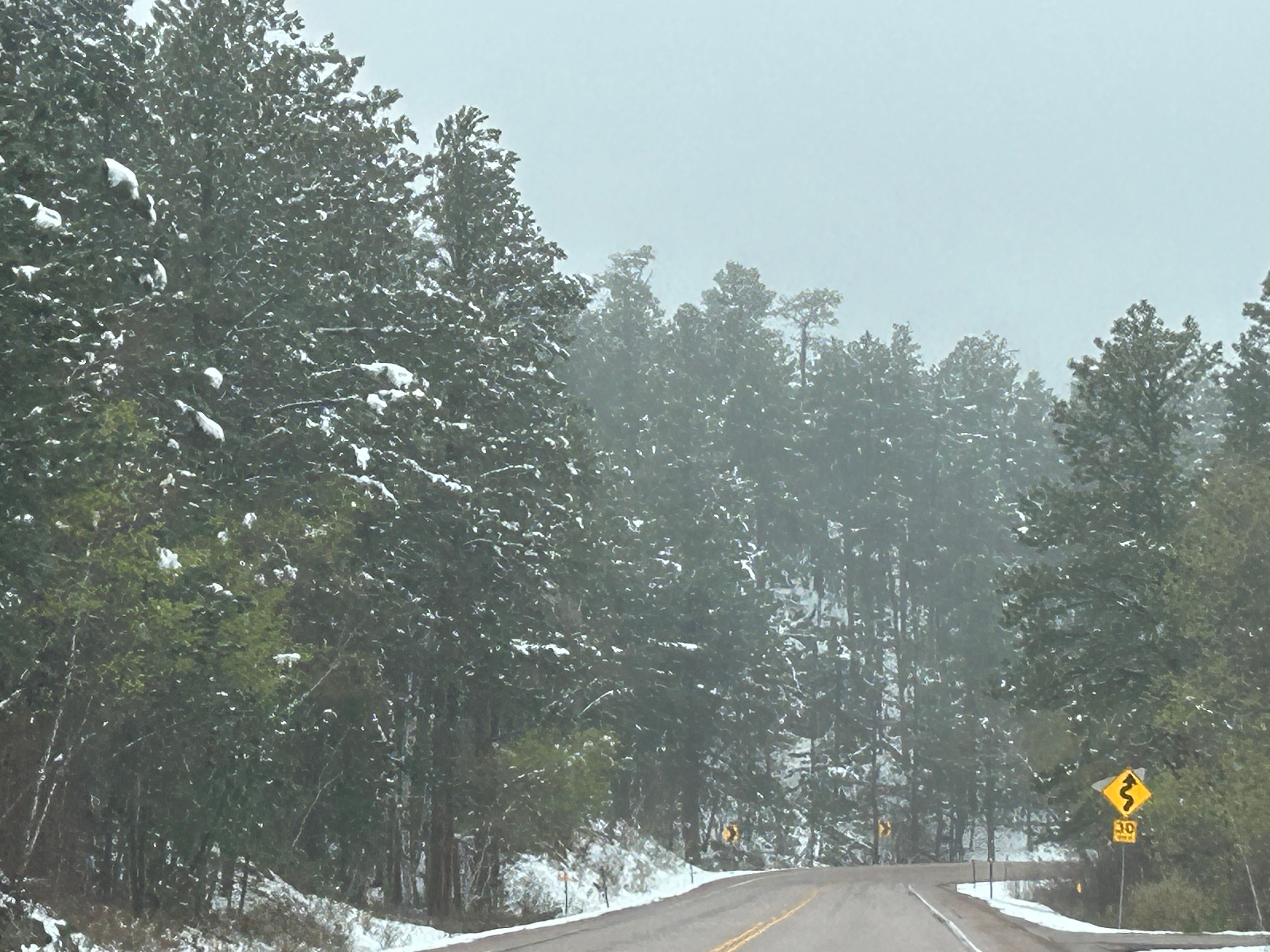
We woke up in Custer to discover a new layer of snow that had fallen through the night. After I played in the snow (getting it off the car), we ventured out for a longer route than originally planned. It seems that the current blasts of snow had closed the roads leading directly west. Our new route would take us into Wyoming and then up into Montana, leading us into Yellowstone from the north. Despite looking at 9 hours of driving, we needed to make one more stop on the way out of town to Jewel Cave National Monument. We didn’t have time for a cave tour, but enjoyed the exhibits and movie to teach us more about the cave exploration there. Then off we went into the sub-freezing temps and snow flurries.
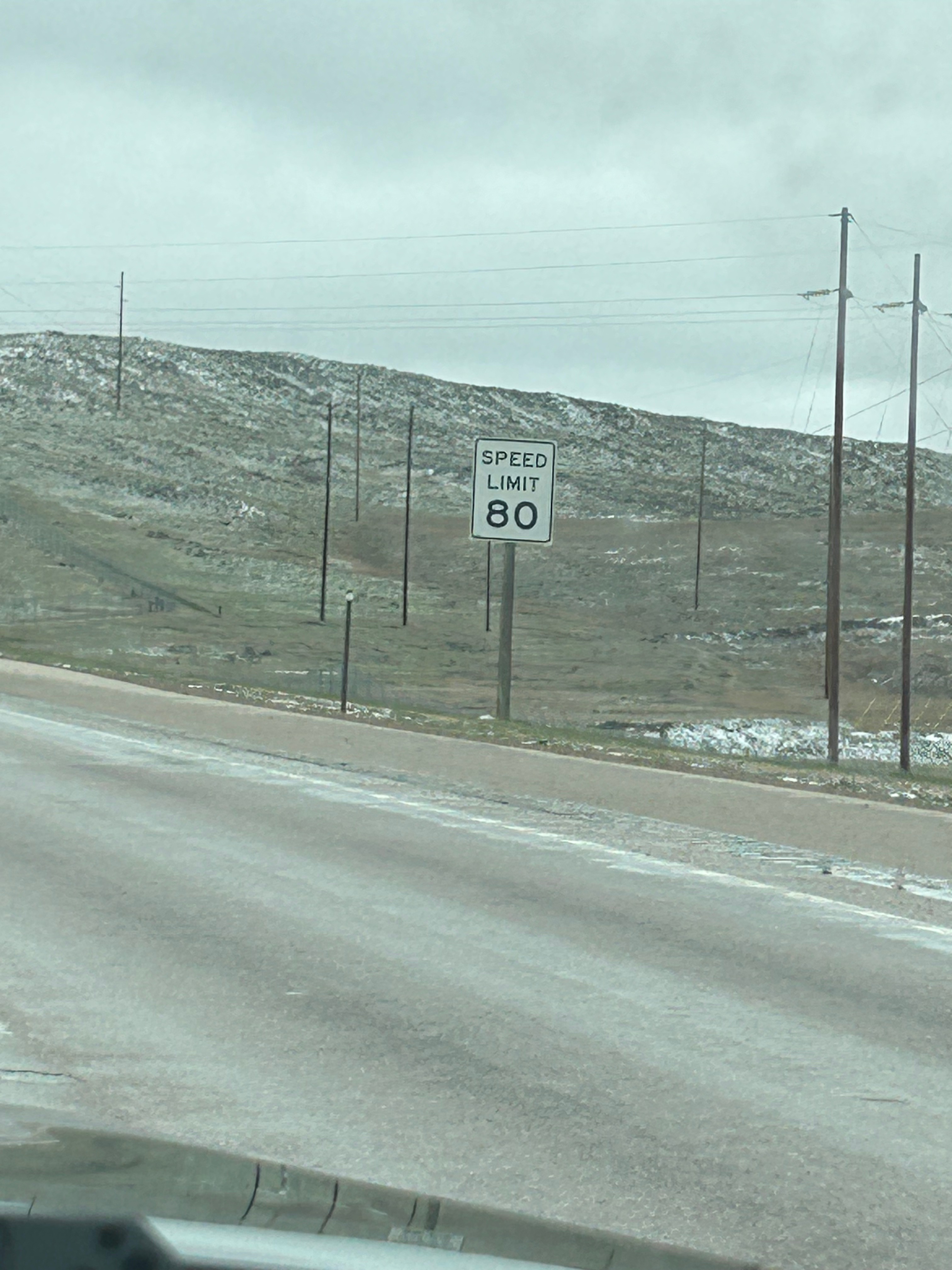
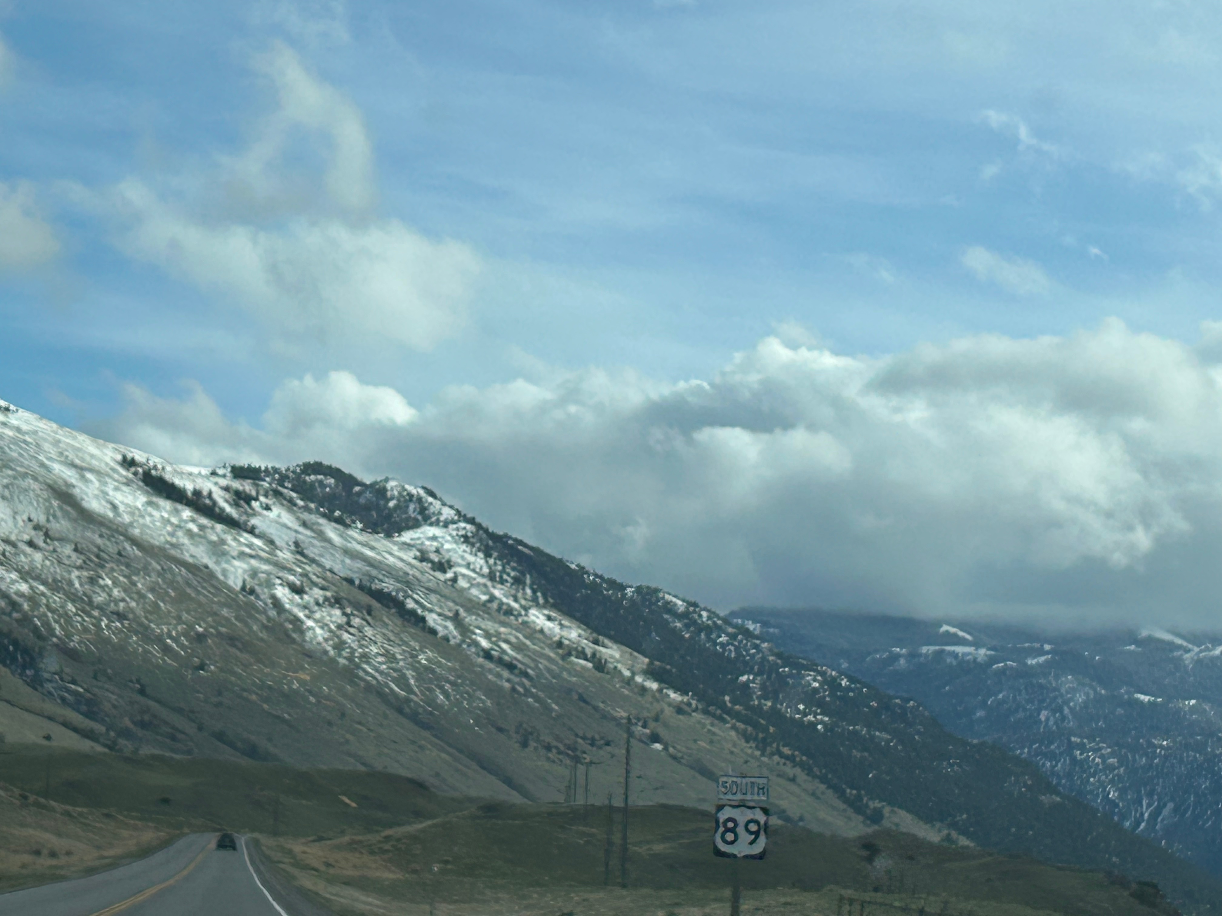
We left the Black Hills and entered the wide open spaces of Wyoming. We really only cut the corner of the state though, and soon found ourselves in Big Sky Country (Montana). The sun did come out for a little while, ending the occasional flurries and warming up to the low 40s. Travel through the huge state was helped a little bit by the 80 mph speed limit! We crossed the Yellowstone River several times; it taunted us into thinking we were close to our destination than we actually were.
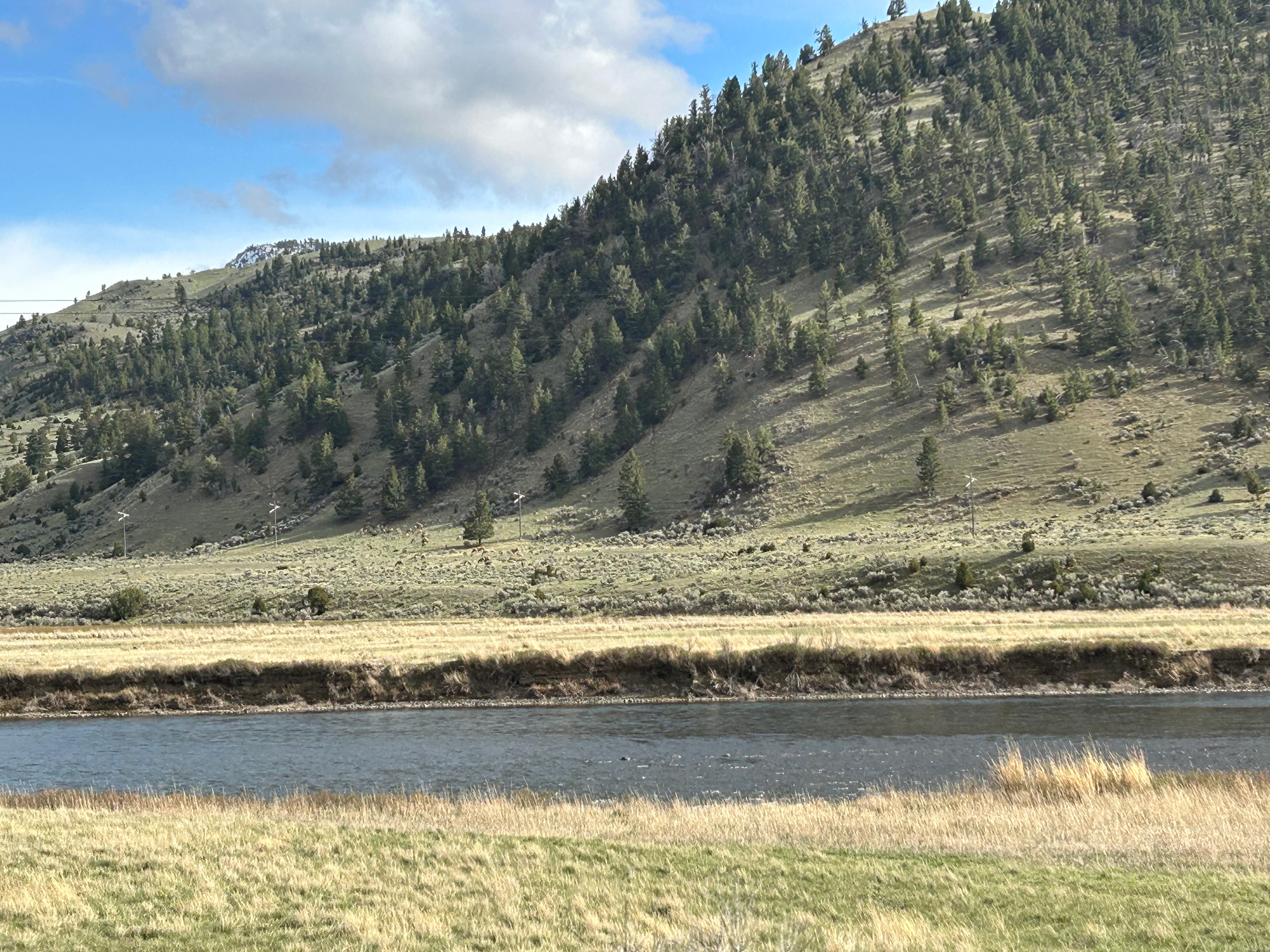
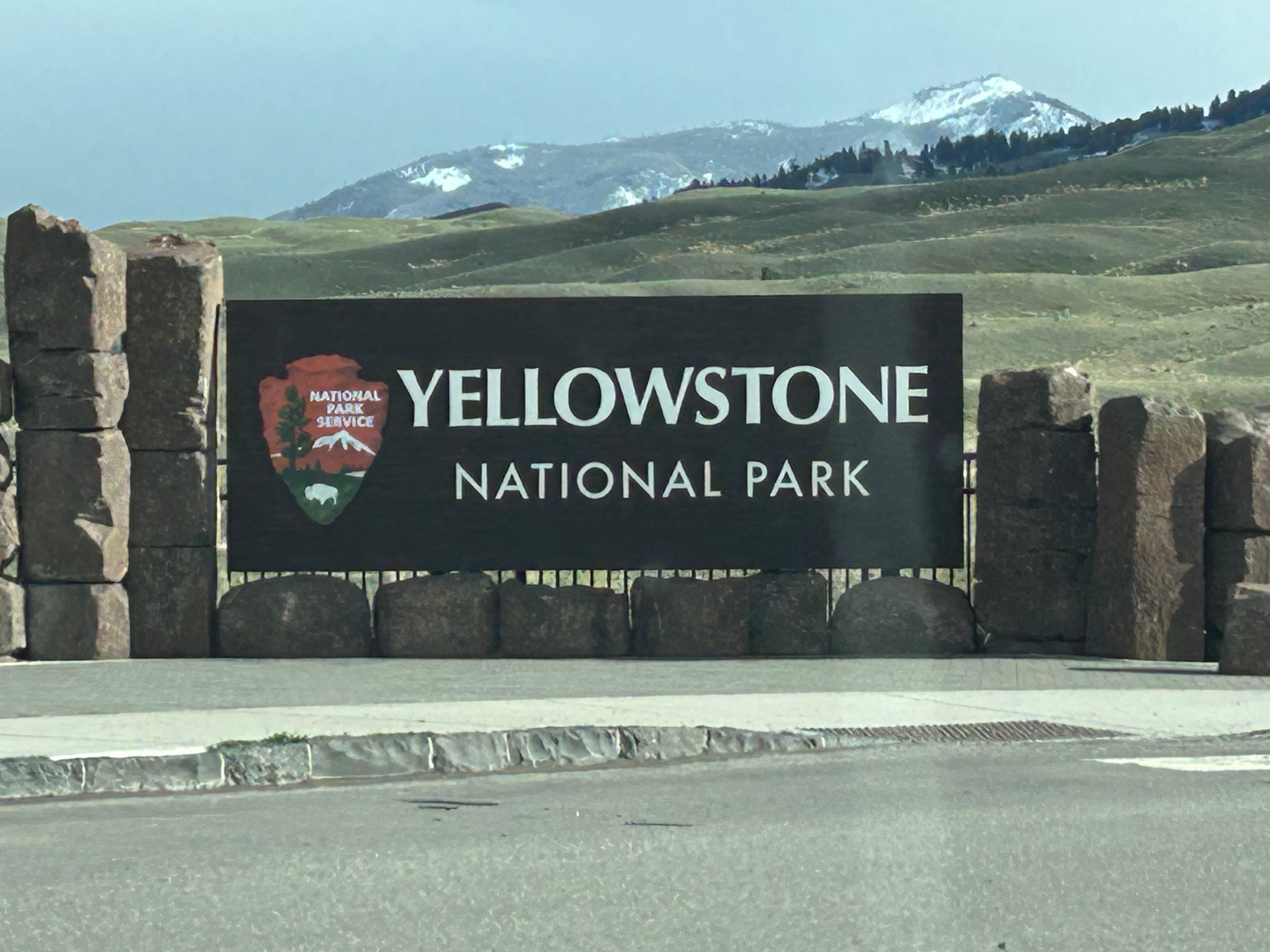
Finally, we re-entered Wyoming from the north and soon we were in Yellowstone National Park. But then we realized we still had over two hours to drive to our lodge in the park. Turns out, Yellowstone is a way bigger than we imagined. It’s about 55 miles wide and 65 miles long and much of the road we traversed was slow going due to windy roads and wildlife wandering across and stopping traffic. We’re all about the journey though, so we settled in to soak up the sights. Right from the start, we were awestruck by the Gallatin range mountains running alongside the road.
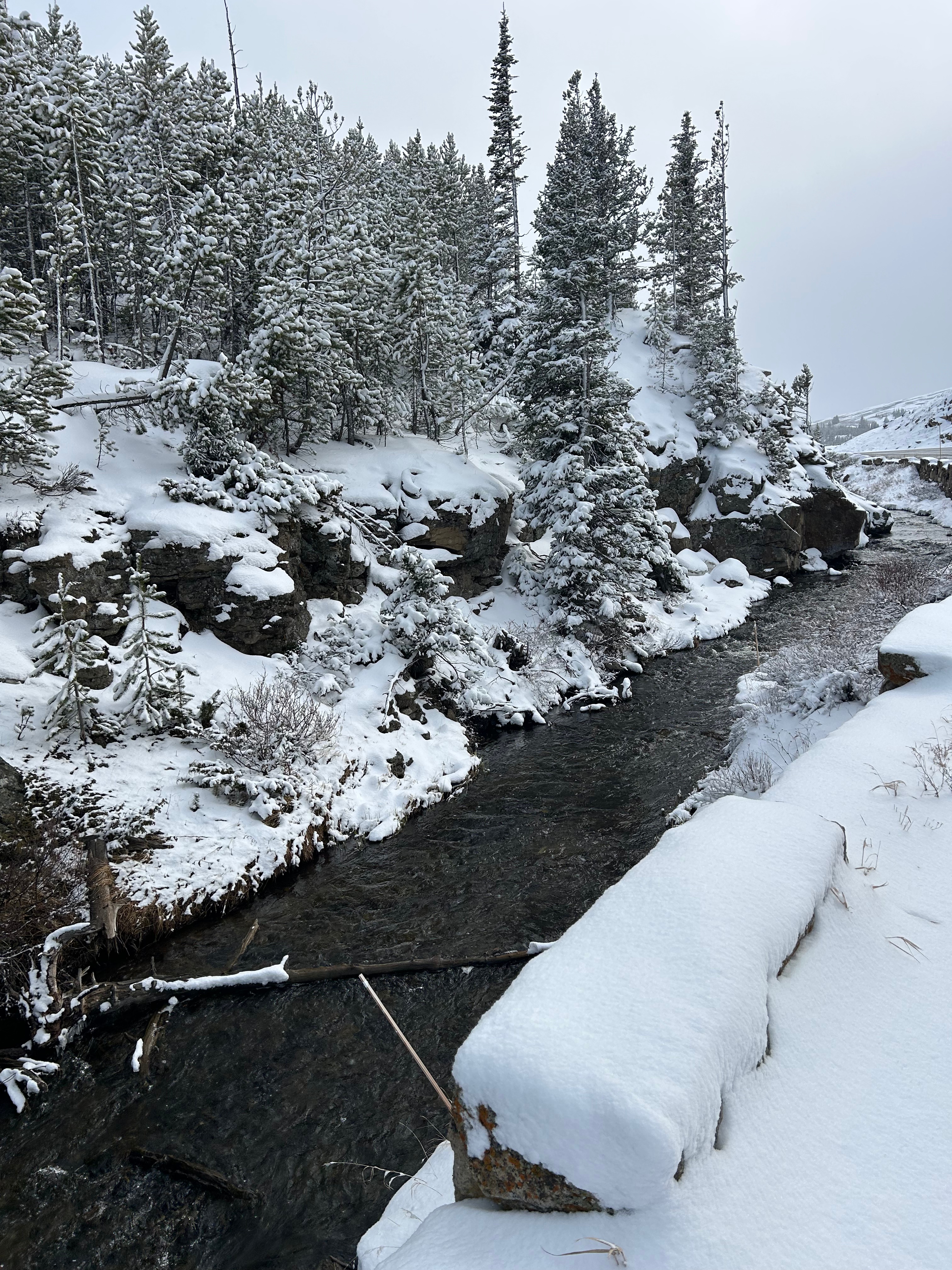
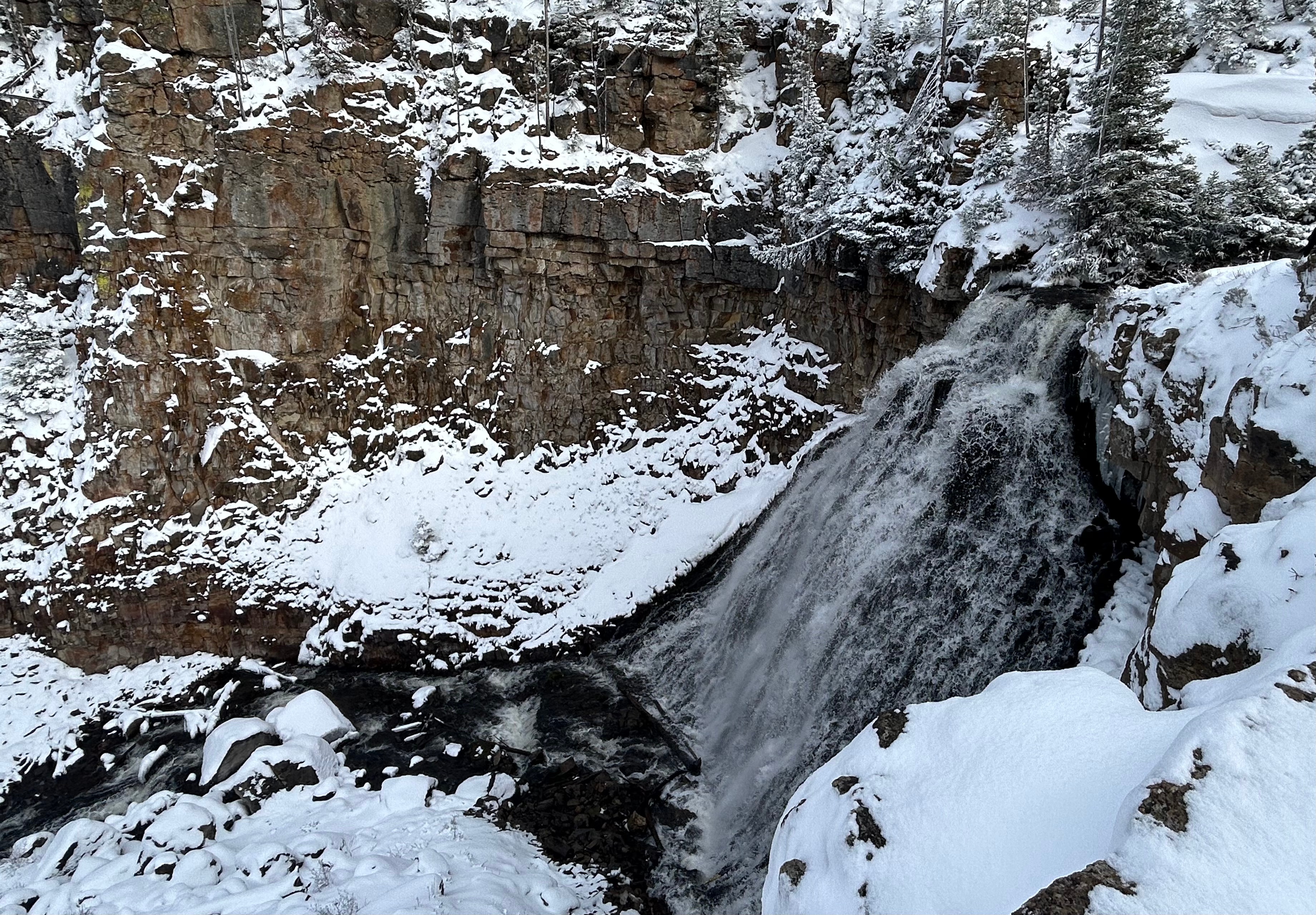
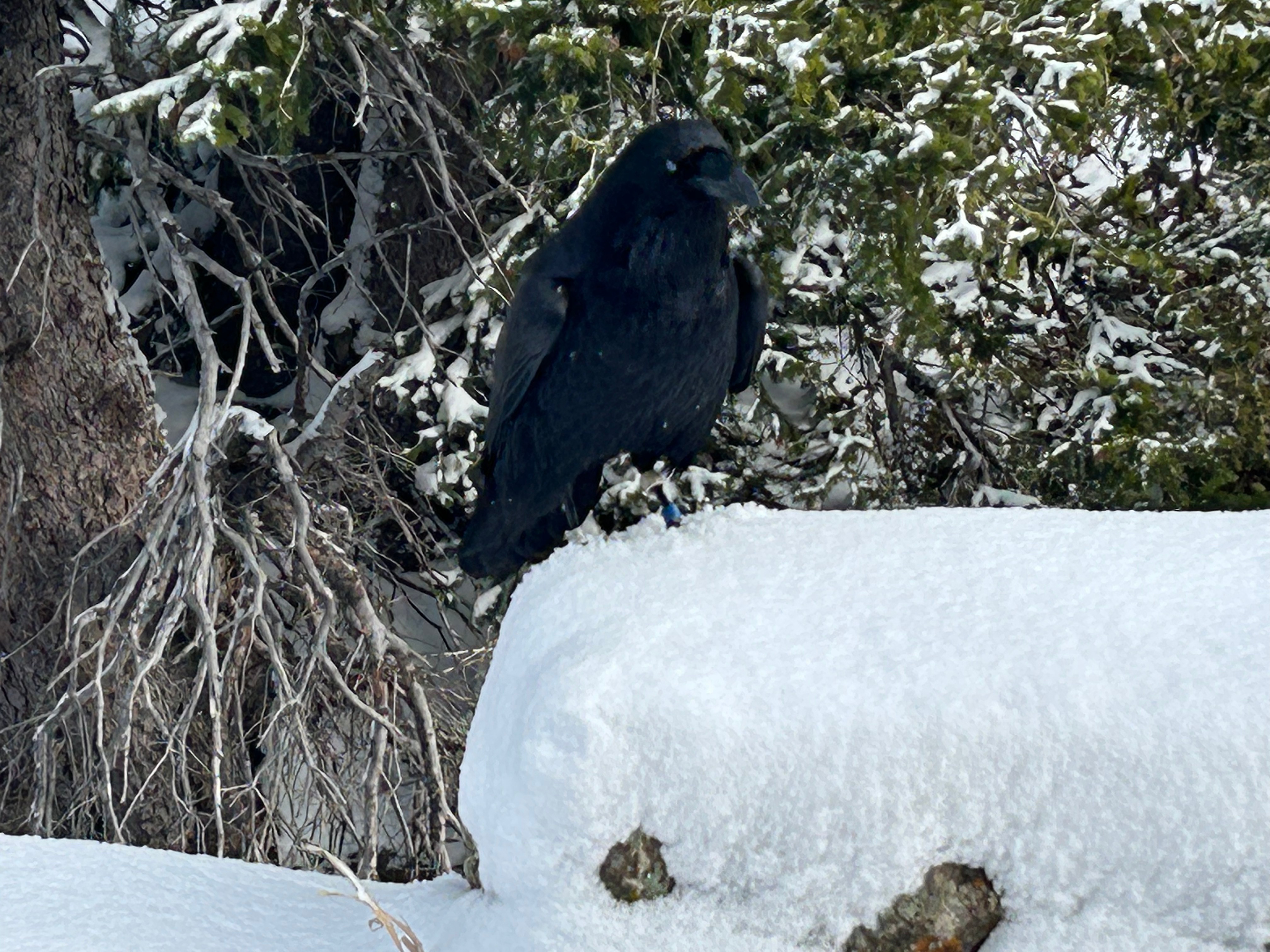
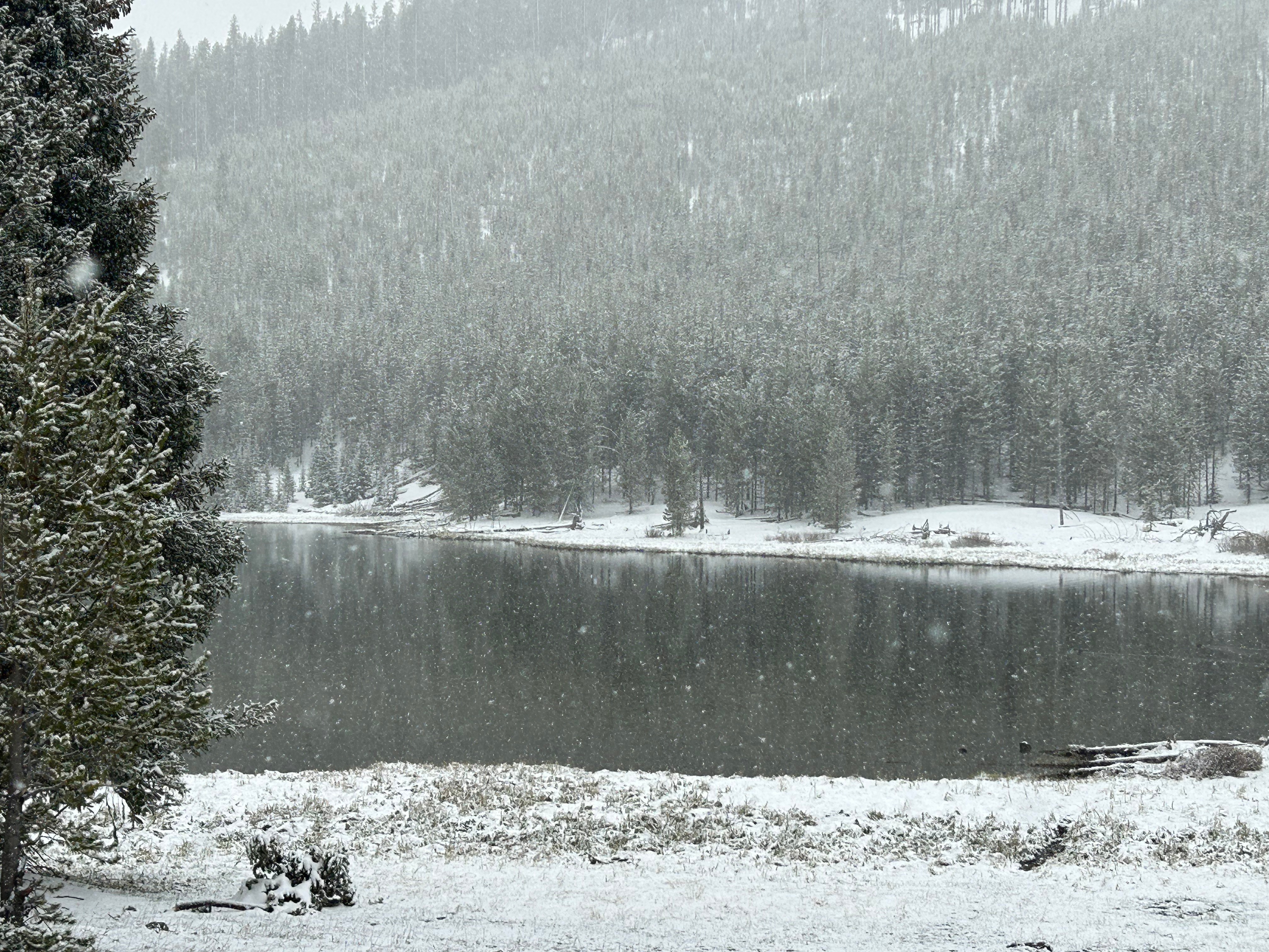
As the snow started back up, we came upon the wintery wonder of Gibbon Falls. I temporarily abandoned the warmth of the car to walk in the snow and get a better look at the waterfall. While outside, I made a new friend with a raven. He seemed quite curious about me…maybe wondering why I was outside or maybe wondering if I had snacks to share. (Not to worry…I know better. A fed animal is a dead animal.)
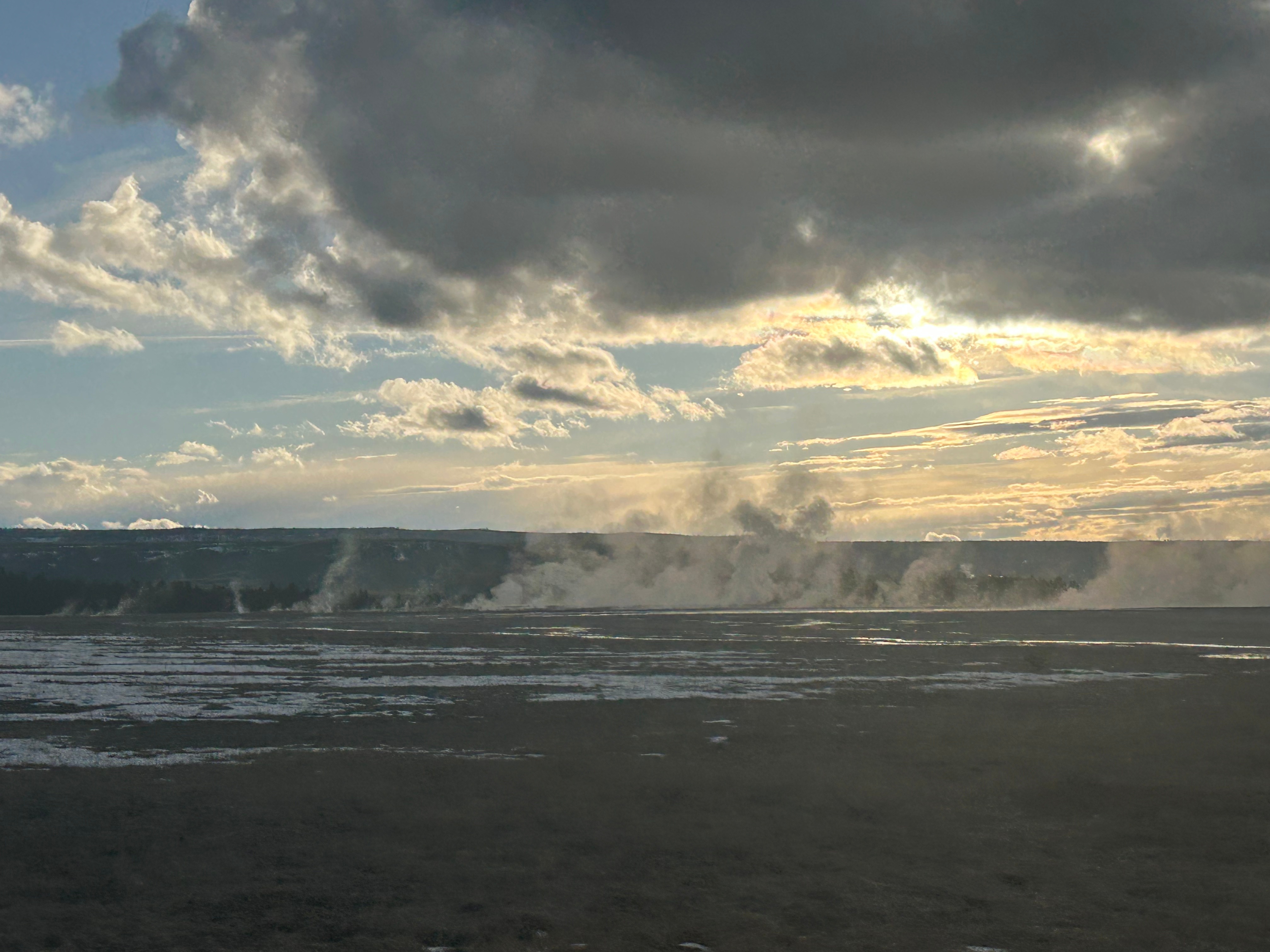
As the snow got heavier, we tooled alongside multiple rivers and frosty lakes. Finally, the snow eased up and the sun came out for awhile…glistening on the snowy fields and highlighting the steam plumes from fumaroles (steam vents) and geysers in the distance in every direction.
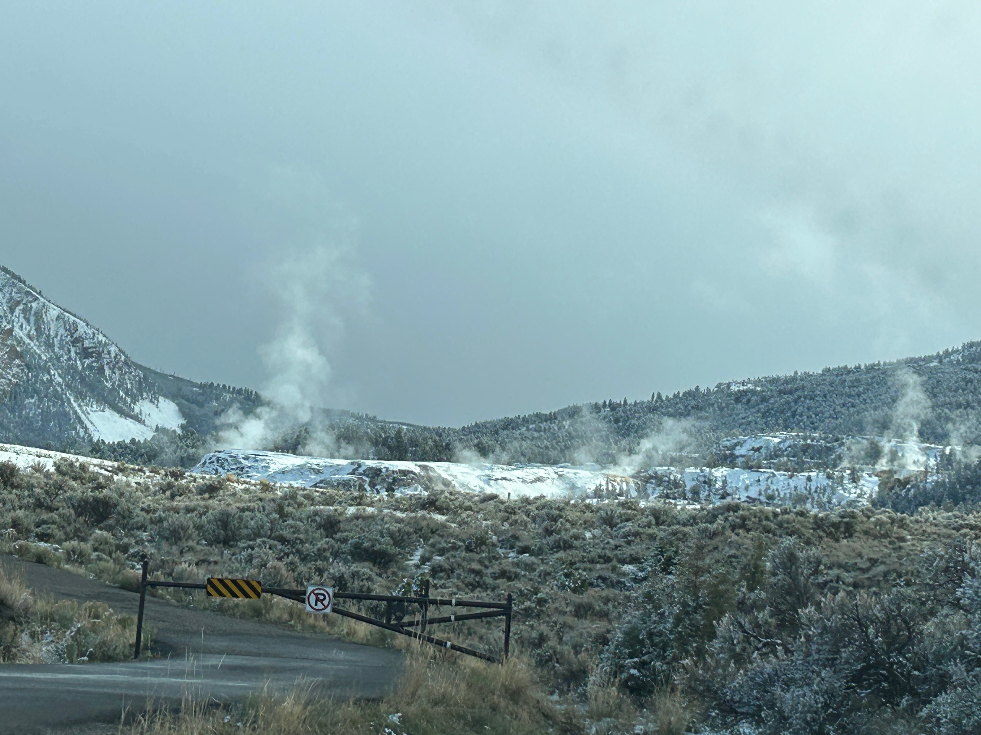
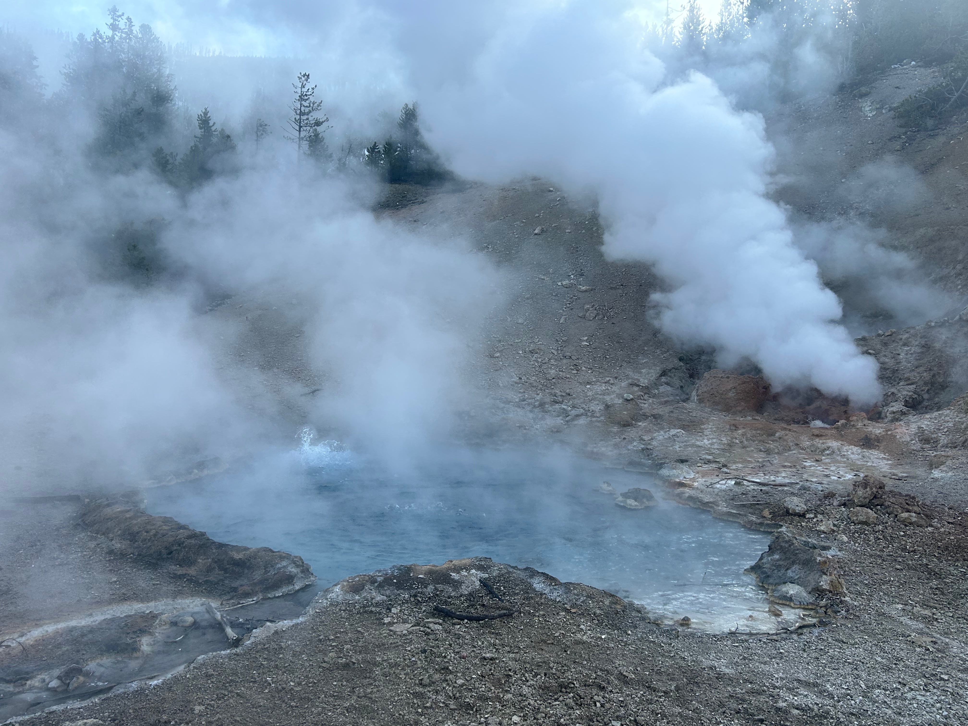
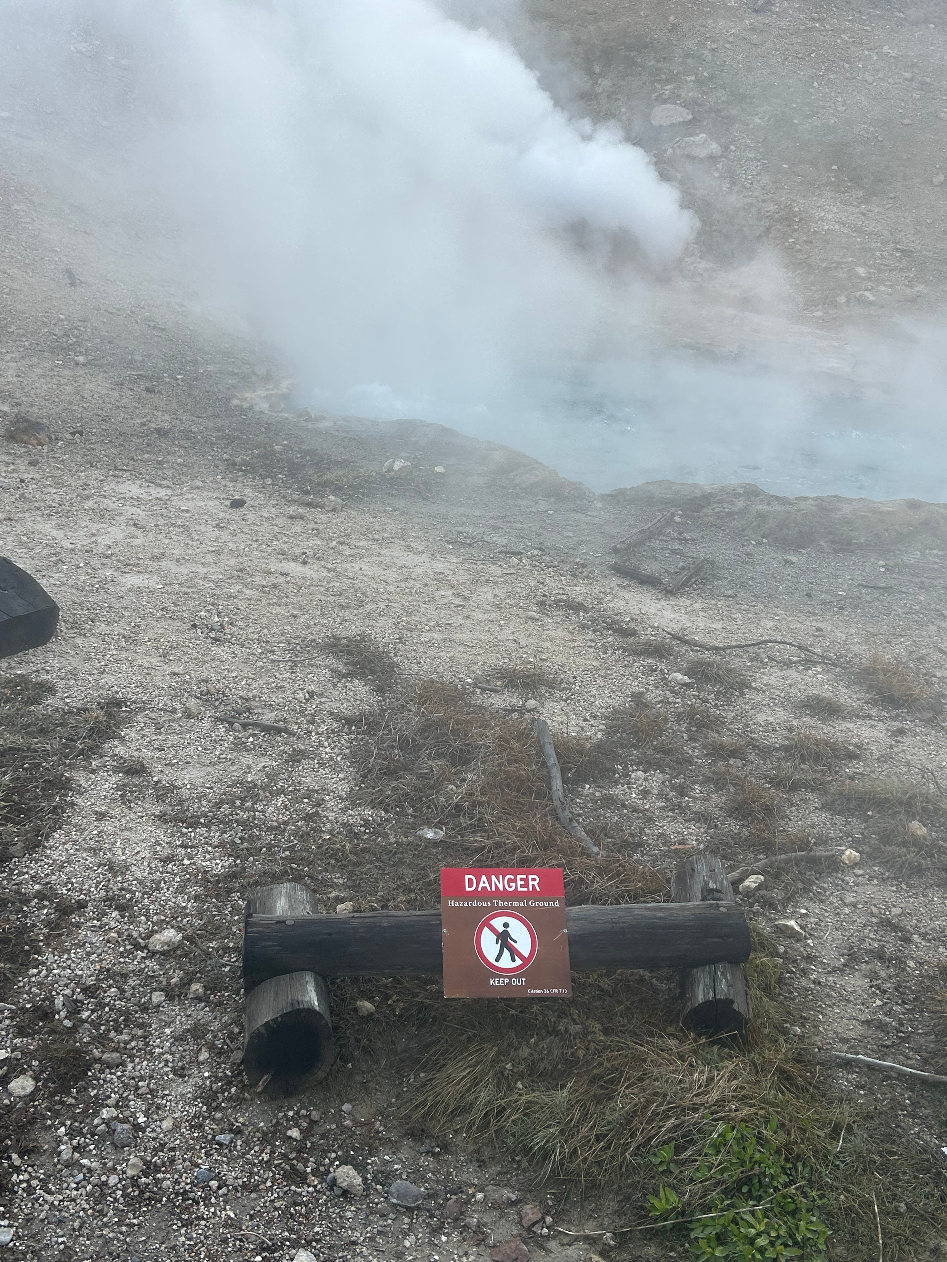
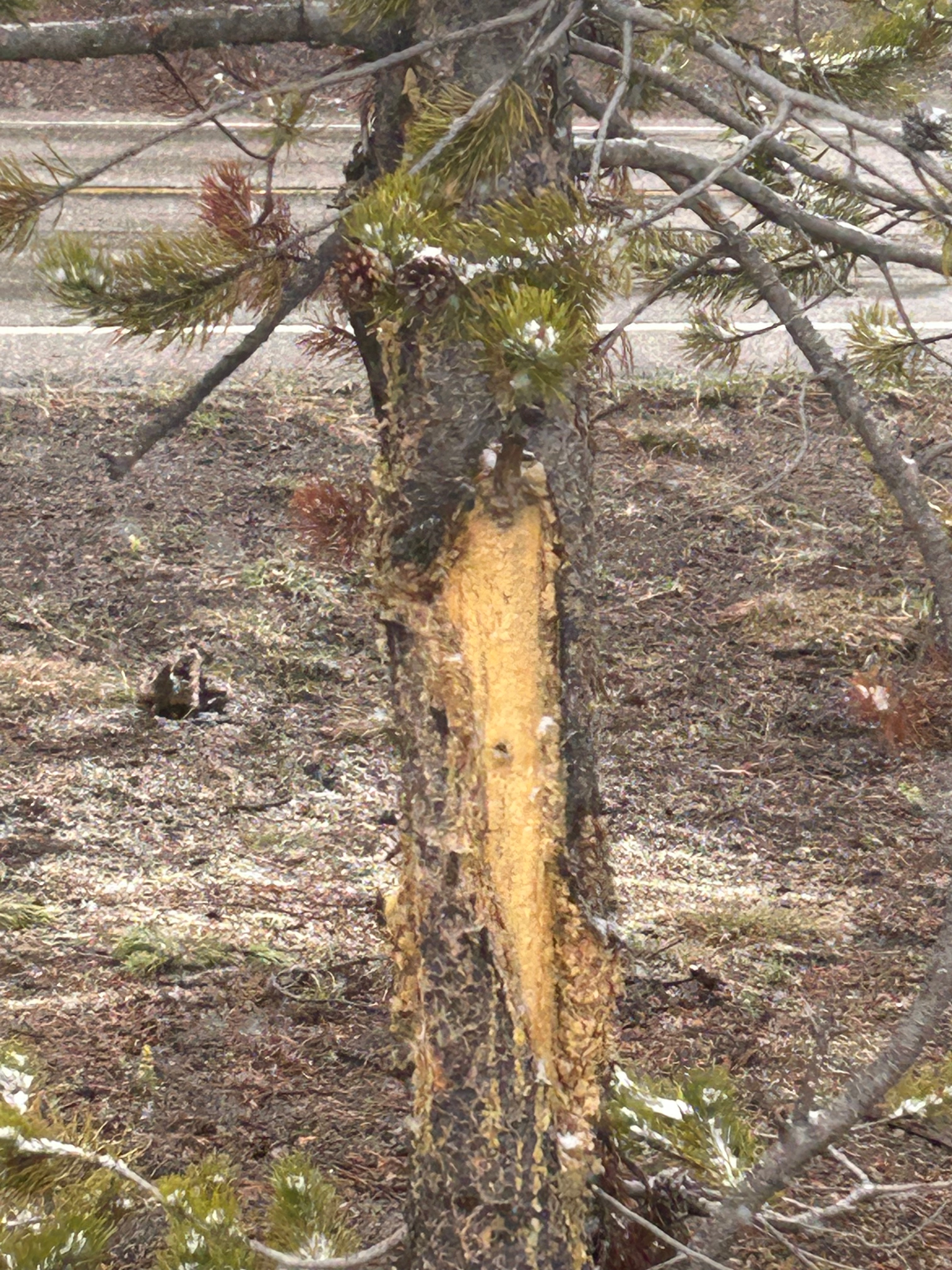
We stopped again in the Lower Geyser Basin after hearing a geyser before we even saw it. A short walk brought us to a spot featuring all of the cool Yellowstone thermal delights: a hot spring, geyser, and mud pits. Standing there watching the earth boil and bubble and spew, I was speechless. Thom noted it was so primordial. It definitely felt like we were in some other world. And the screams of escaping gases was unexpected and just a touch hair-raising. Then I saw something extra hair-raising: a freshly scratched up tree right next to us. We didn’t stick around to see if there was a grizzly nearby…I never want that adventure.
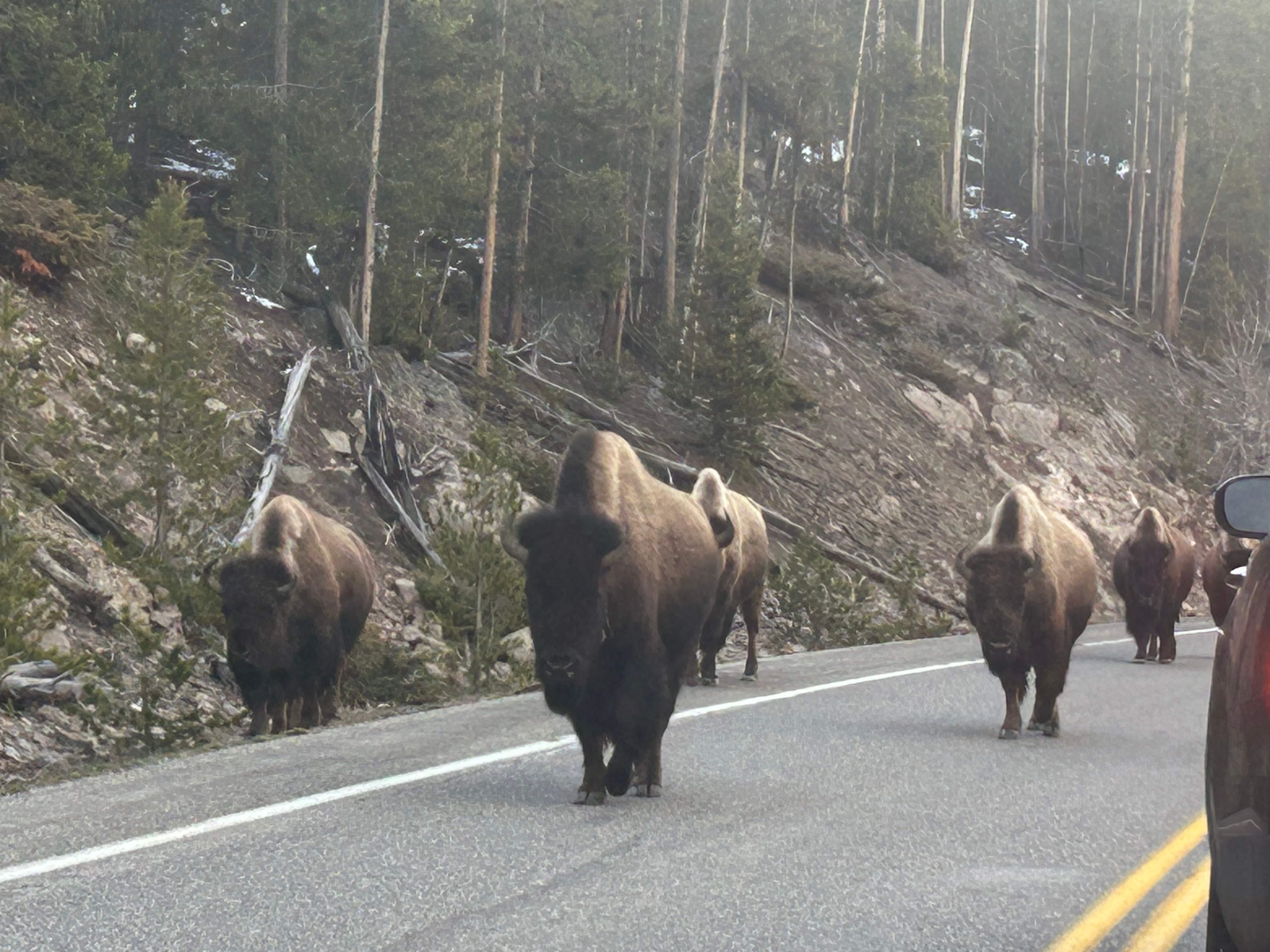
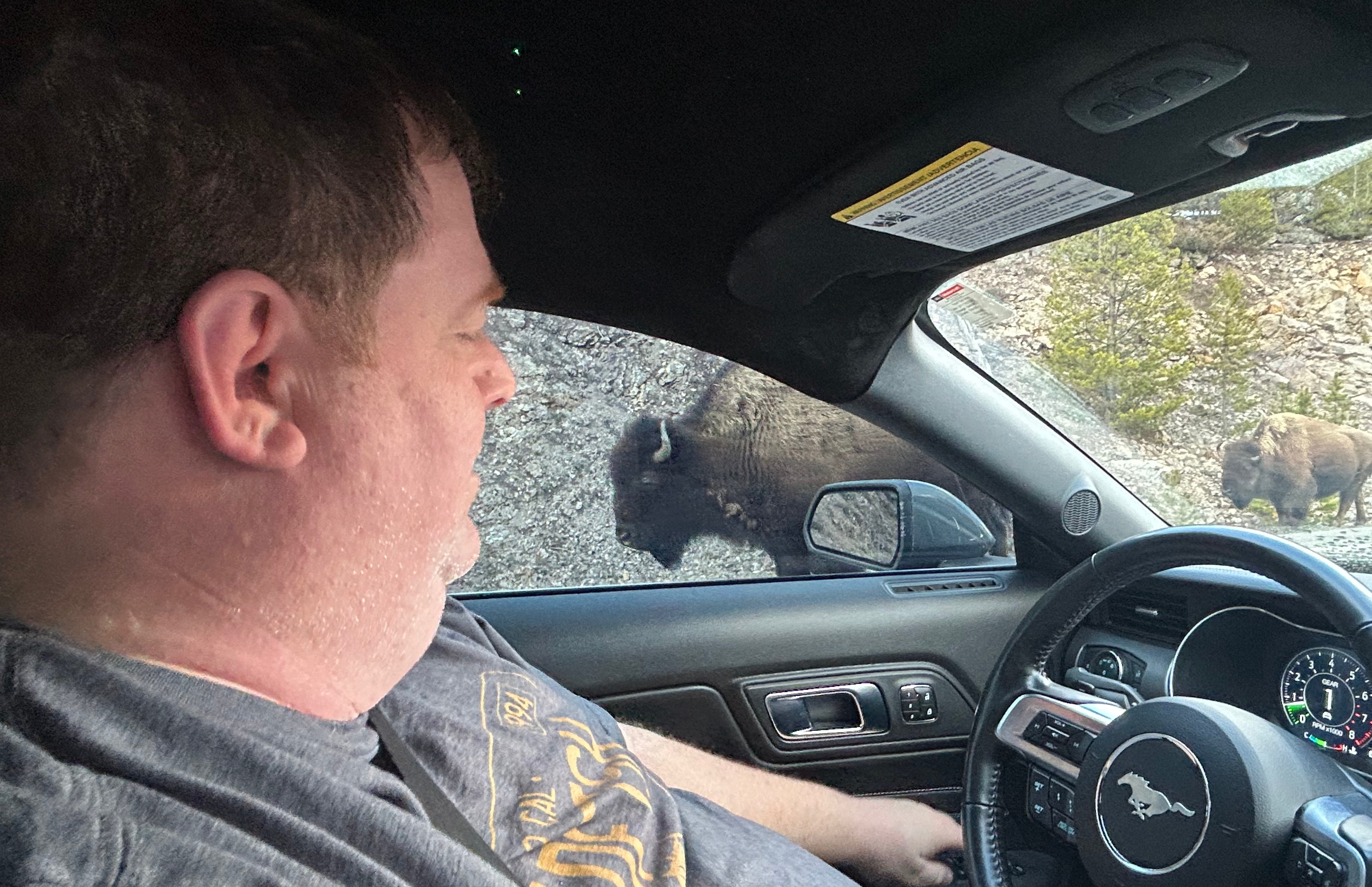
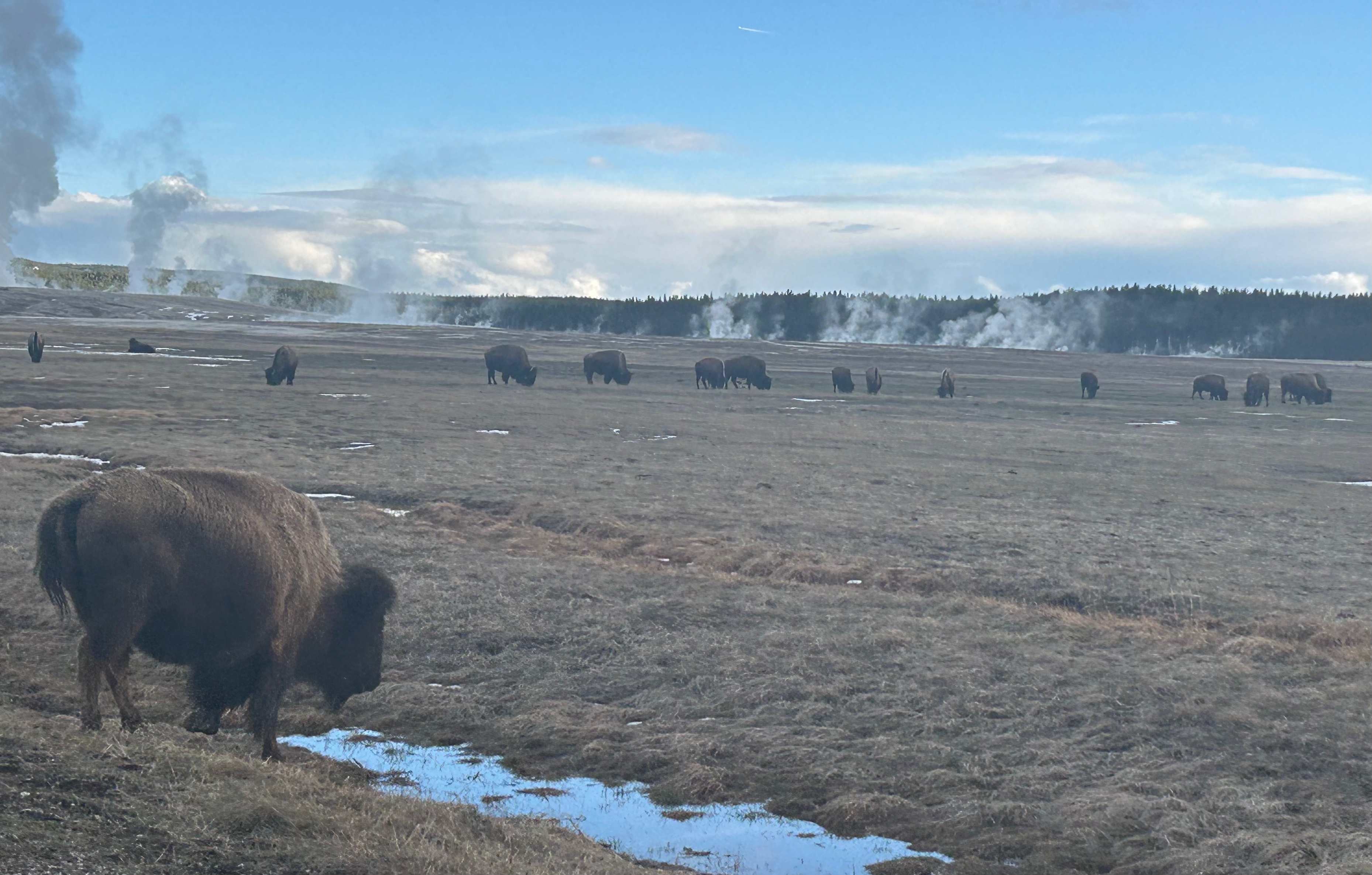
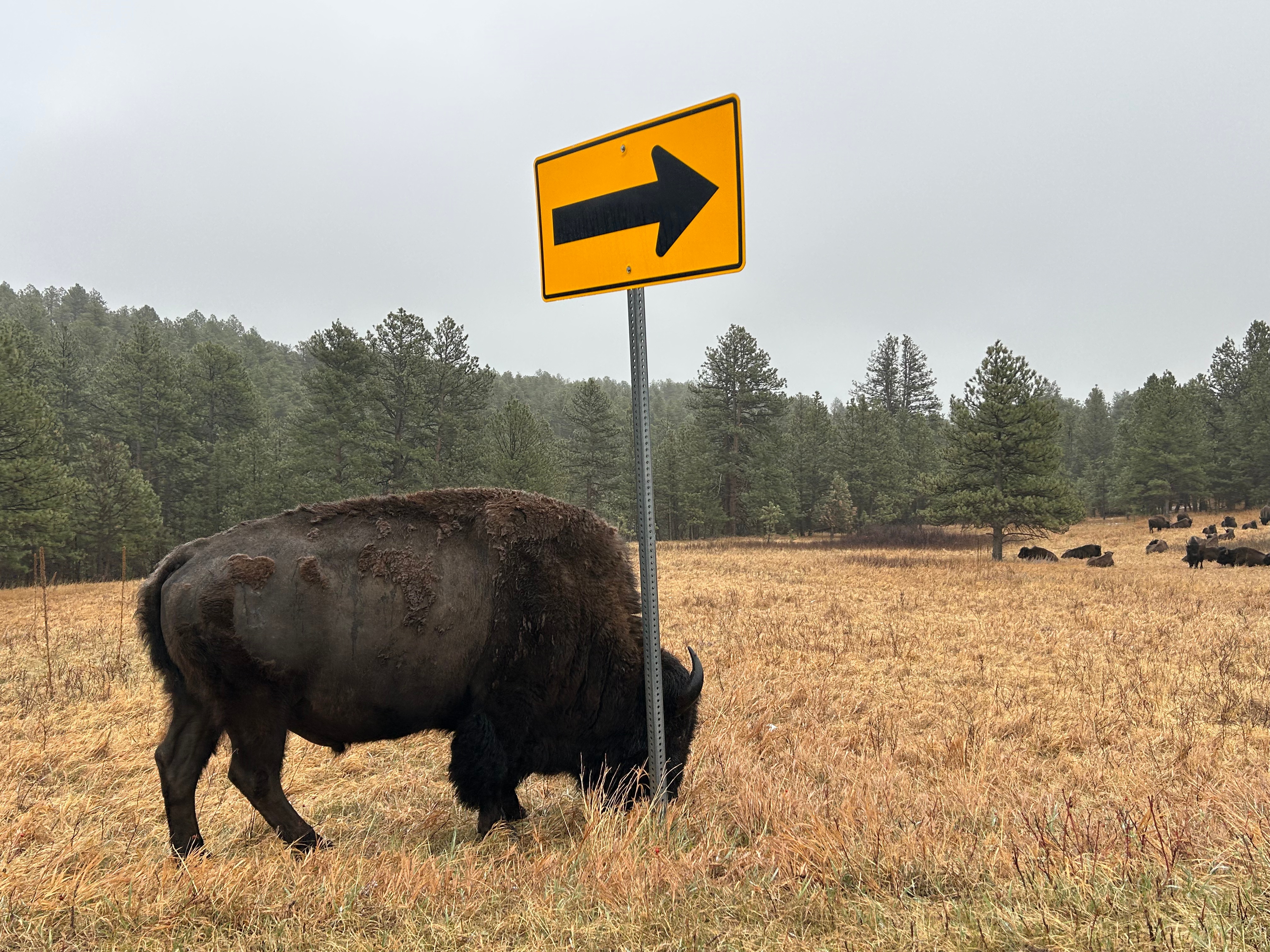
Back on the road, we rounded a corner and had to promptly stop for a herd of bison. They eventually marched past us, with Thom rolling his window up before a fluffy cow decided to come for him.
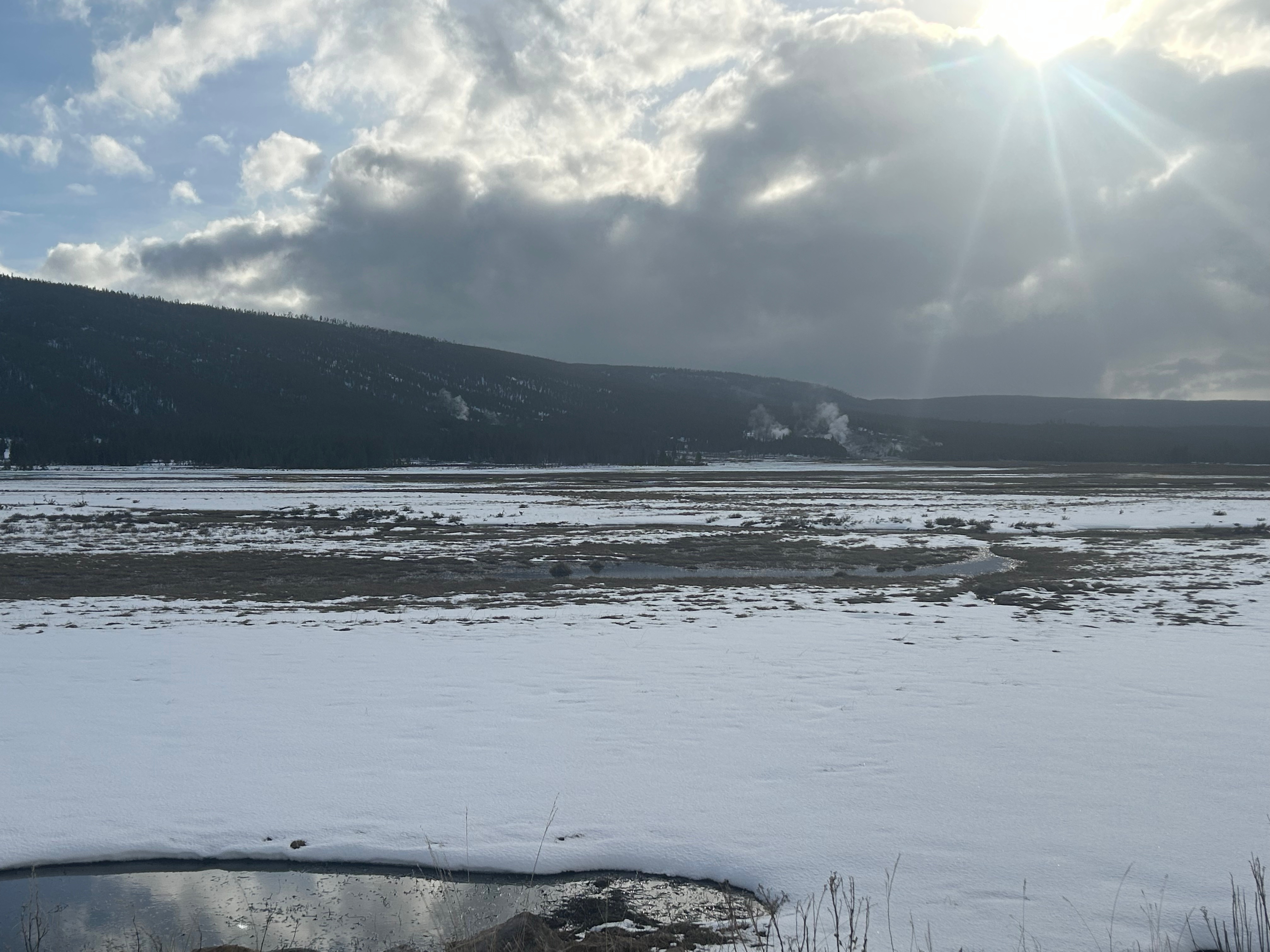
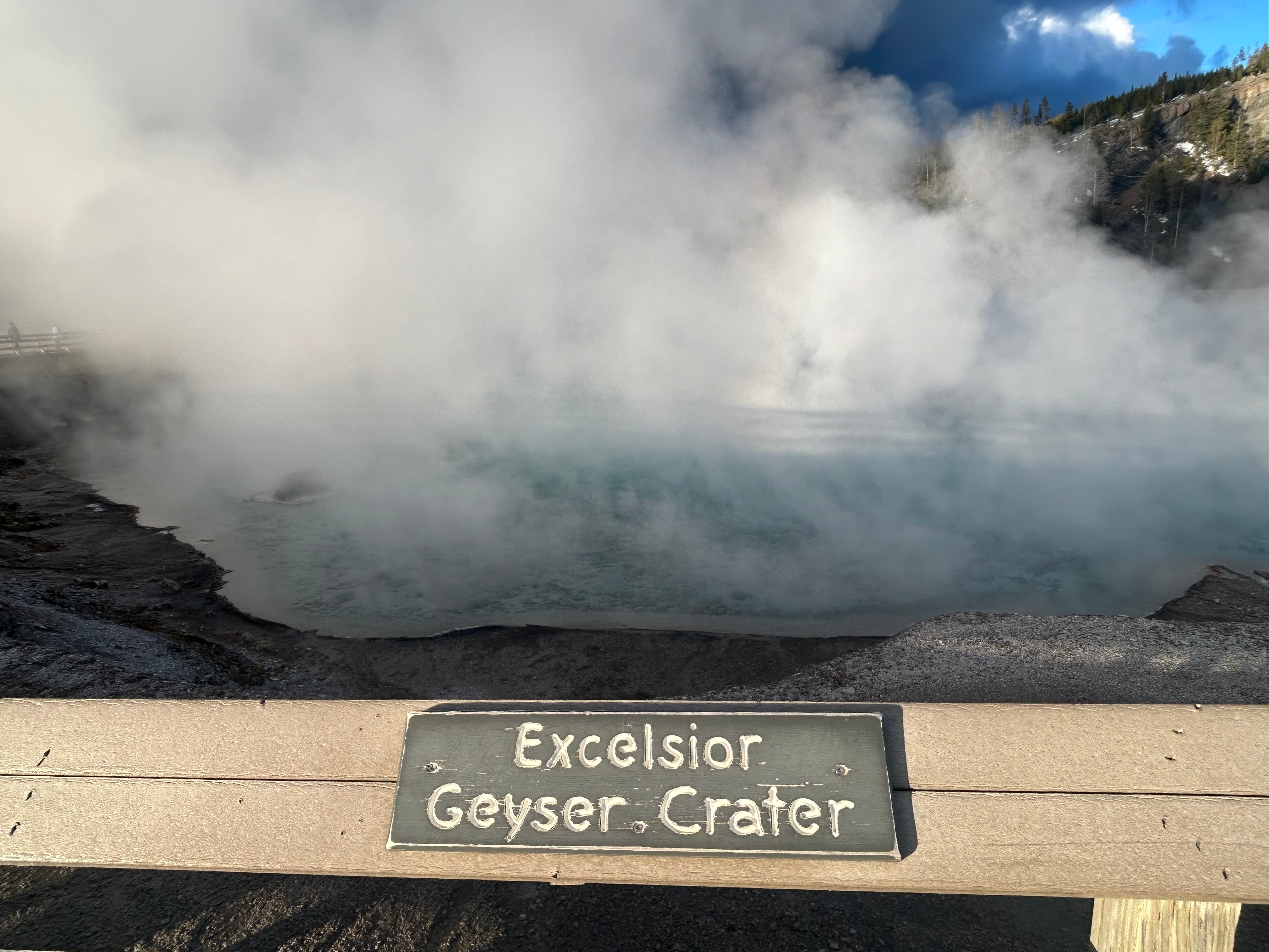
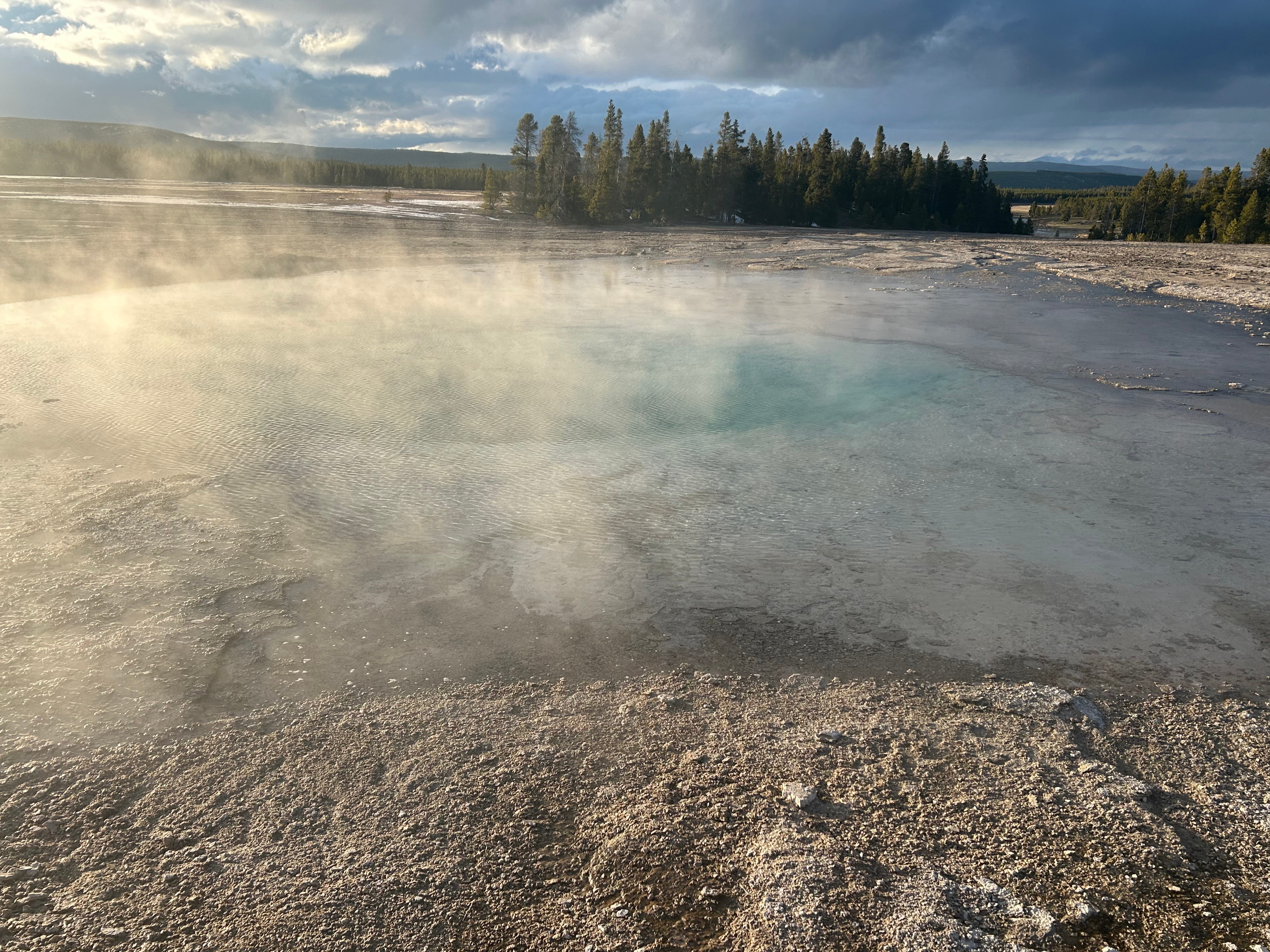
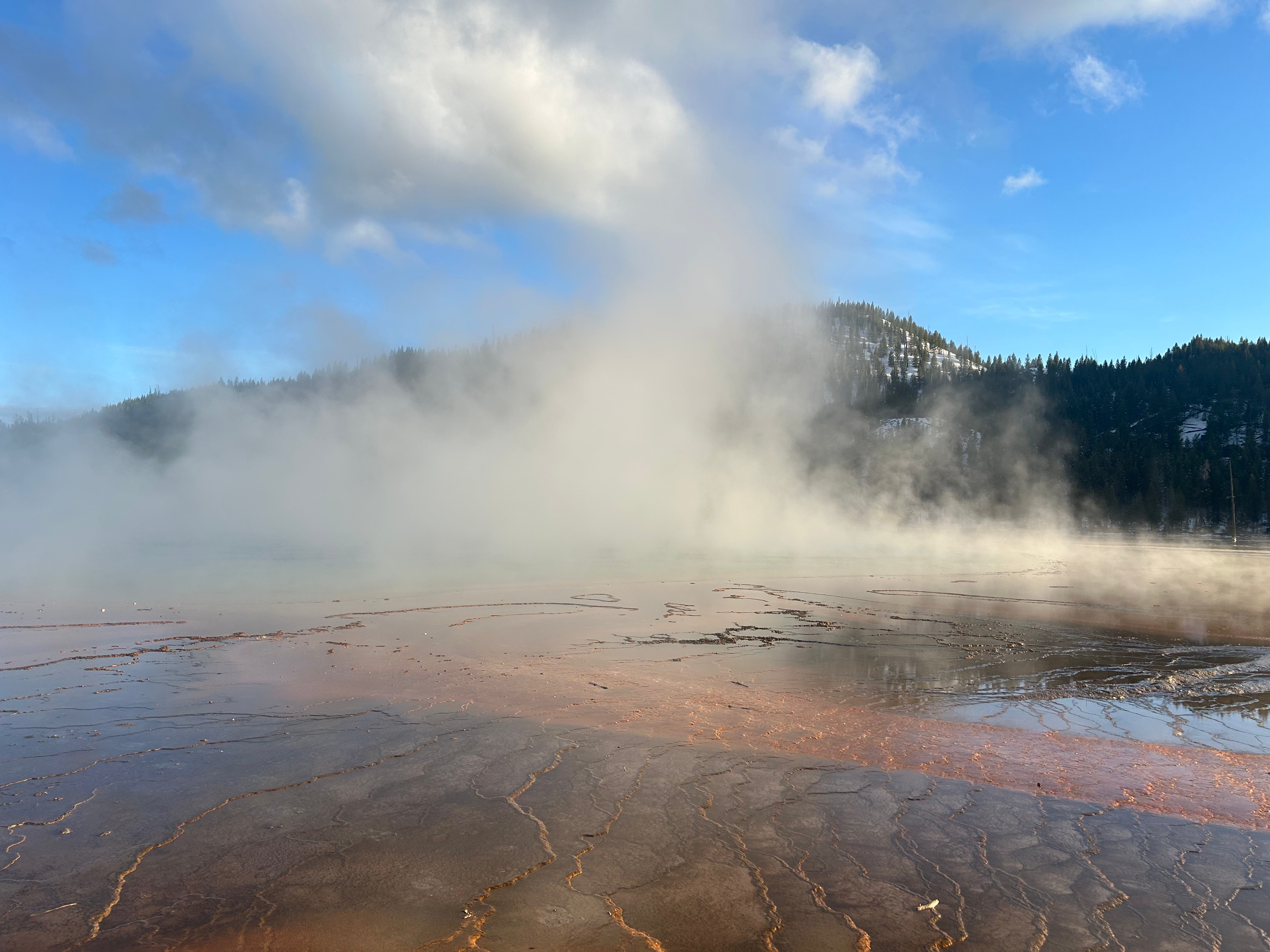
Our next stop was the Midway Geyser Basin. There was a really cool boardwalk that went up and around multiple geysers. It was super cold (in the 20s) and very windy, but cool to see Excelsior Geyser Crater, Grand Prismatic Spring, and the expanse of thermal ground. Unfortunately, Grand Prismatic wasn’t as colorful as expected. Turns out that cold and clouds affect the view. Still really beautiful though!
We finally checked into the Old Faithful Snow Lodge for the evening. It was a well-appointed, rustic lodge, and a cozy stop for the night. We got a nice little bit of sunset as we were checking in. After dinner, we hoped to enjoy the dark skies and maybe even see Old Faithful lit by the moon. Unfortunately, the snow flurries were back and the clouds were thick.
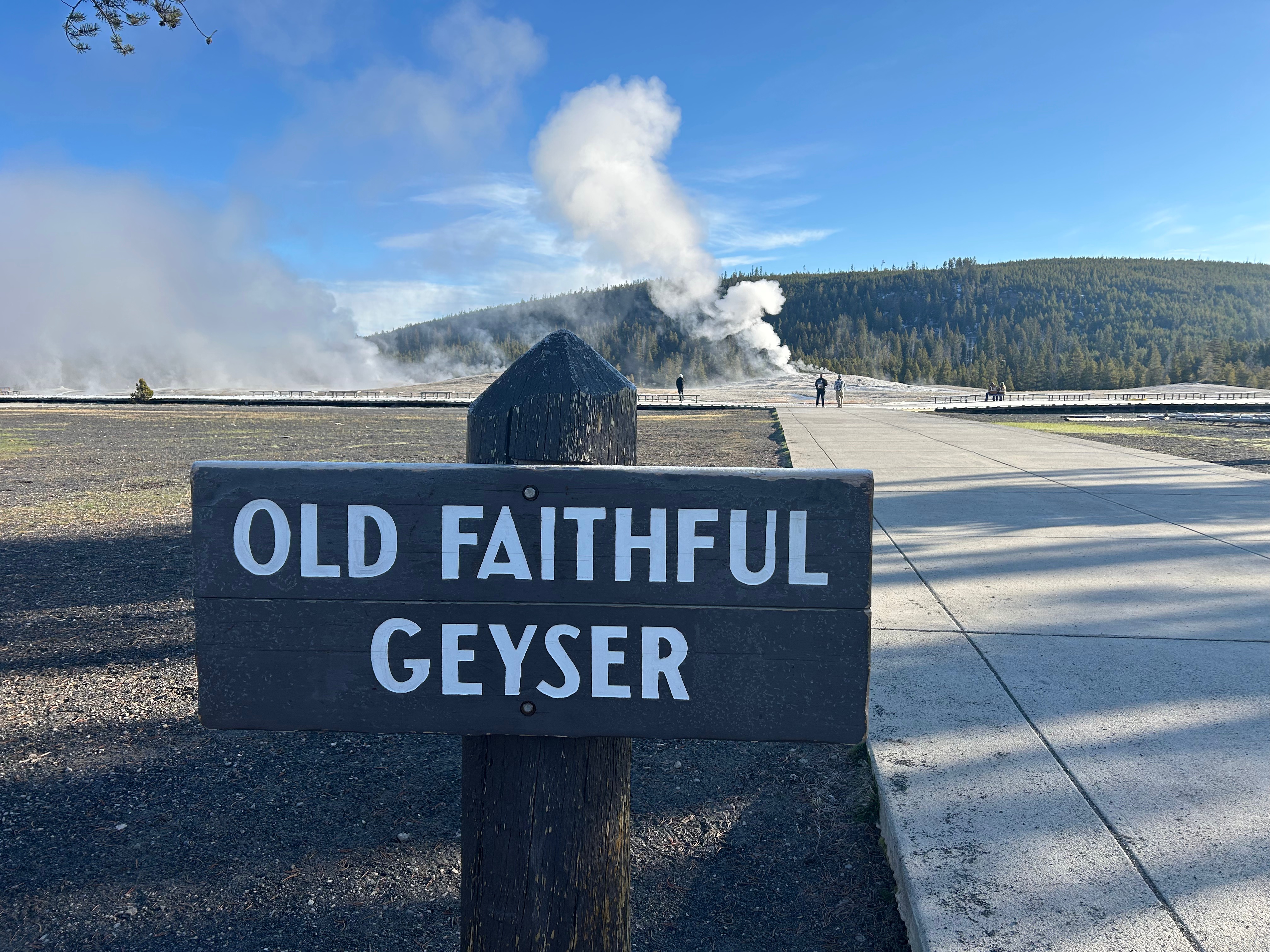
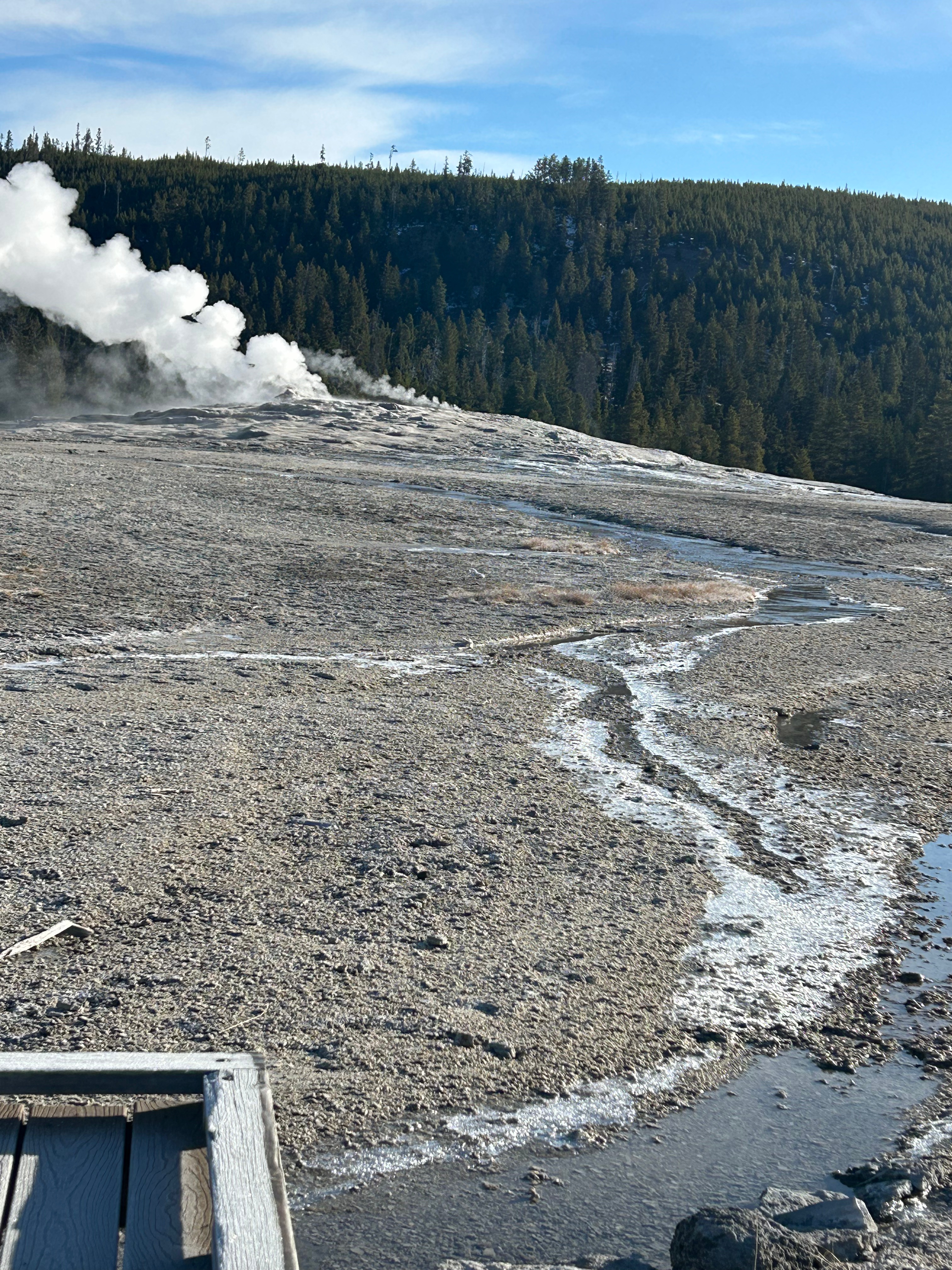
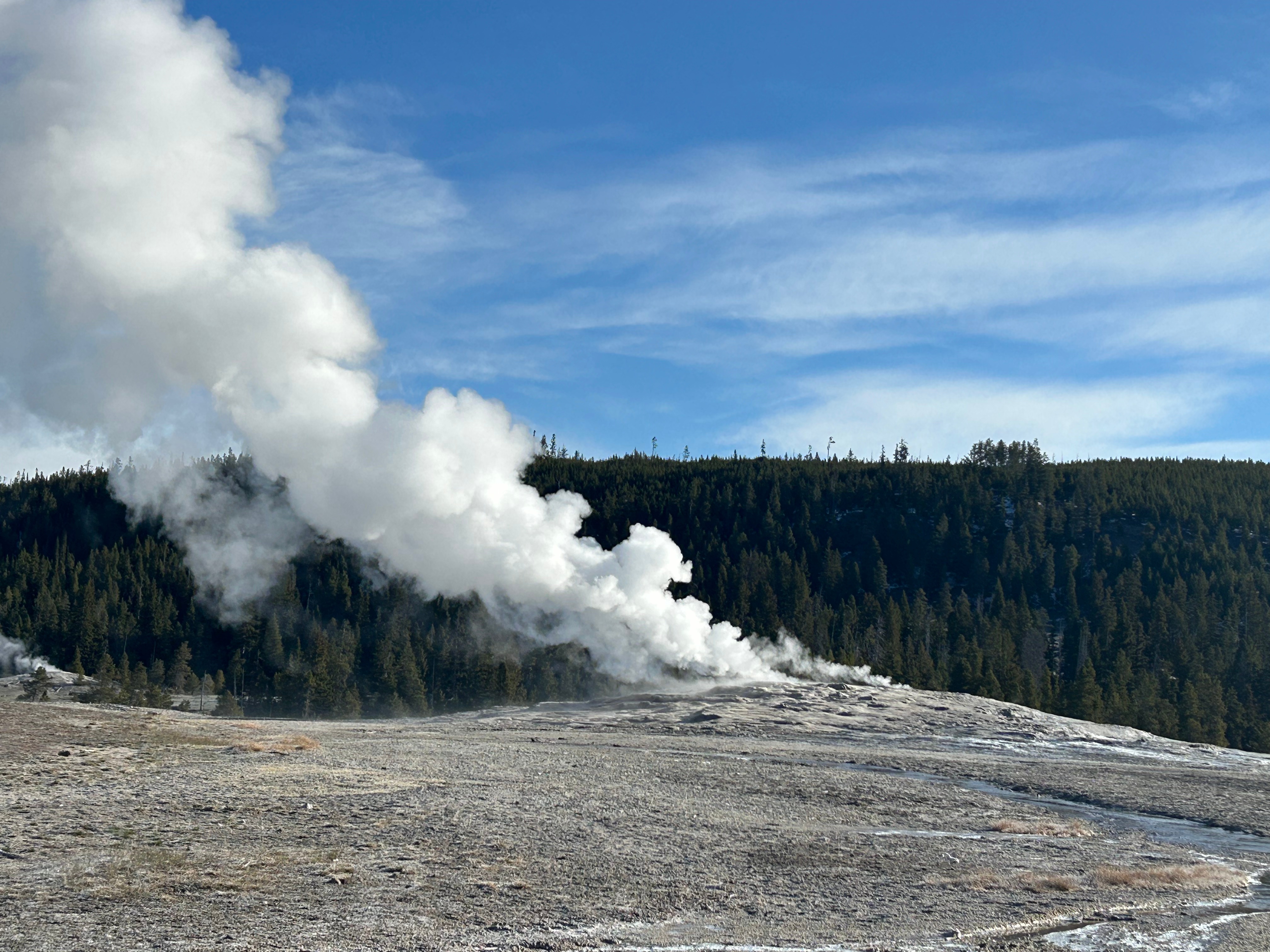
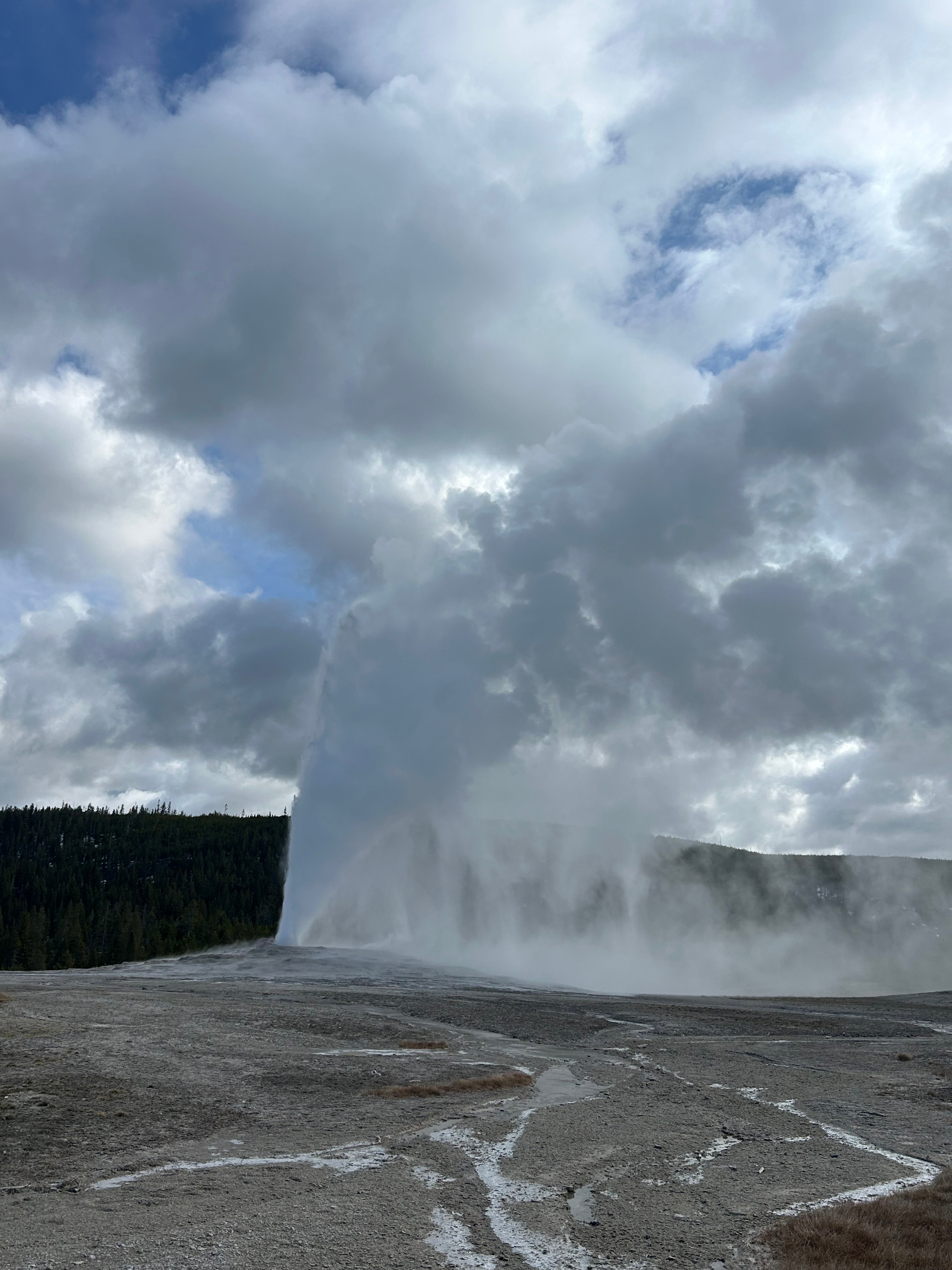
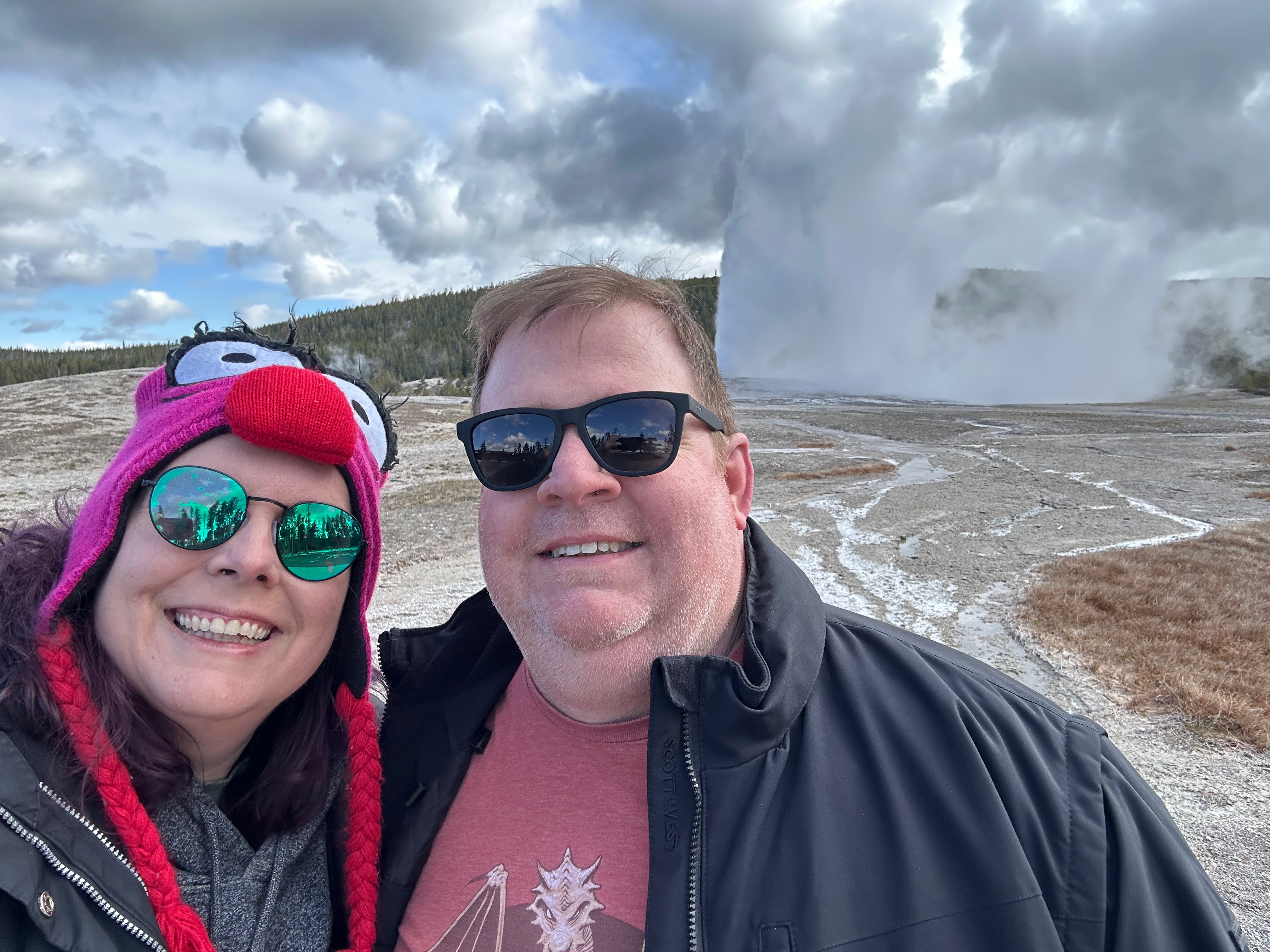
Up early the next morning, we checked out and got the estimated time of Old Faithful’s next eruption. While these eruptions are fairly predictable, there’s still some variations and, apparently, the first one in the morning is a little unknown. The lodge told us it would probably go off about 8am, so we bundled up and grabbed the breakfast-of-champions (PopTarts) to go watch Old Faithful. Besides the uncertain timing, the other complication was the fact that it was 25 degrees outside with some noticeable wind and the sun hiding behind the clouds here and there. We stood for awhile but eventually sat on the frozen benches. Some fitness fanatics jogged by and told everyone it would be 8:45 (as they were outside and saw the last one go off at 7:15…it goes off about every 90 minutes, give or take 10 minutes “or so”). Once the cold settled in our bones, we actually enjoyed the peacefulness of the setting–birds singing in the distance and the occasional hisses and burbles from the geysers in the area. It was really interesting to see some of the water runoff actually frozen even on the hot thermal bed. Finally, at 9:05am, the geyser shot up, then up some more, then up even more. It was pretty spectacular, despite the wind blowing it a lot. What a wild world we live in!
We awoke to a cold and gray day in Nebraska. The weather forecast at breakfast emphasized several rounds of snow moving through the region throughout the day. We bundled up and headed north. The view was initially a flat, river valley. Nebraska had way more rivers and creeks than I would’ve imagined.
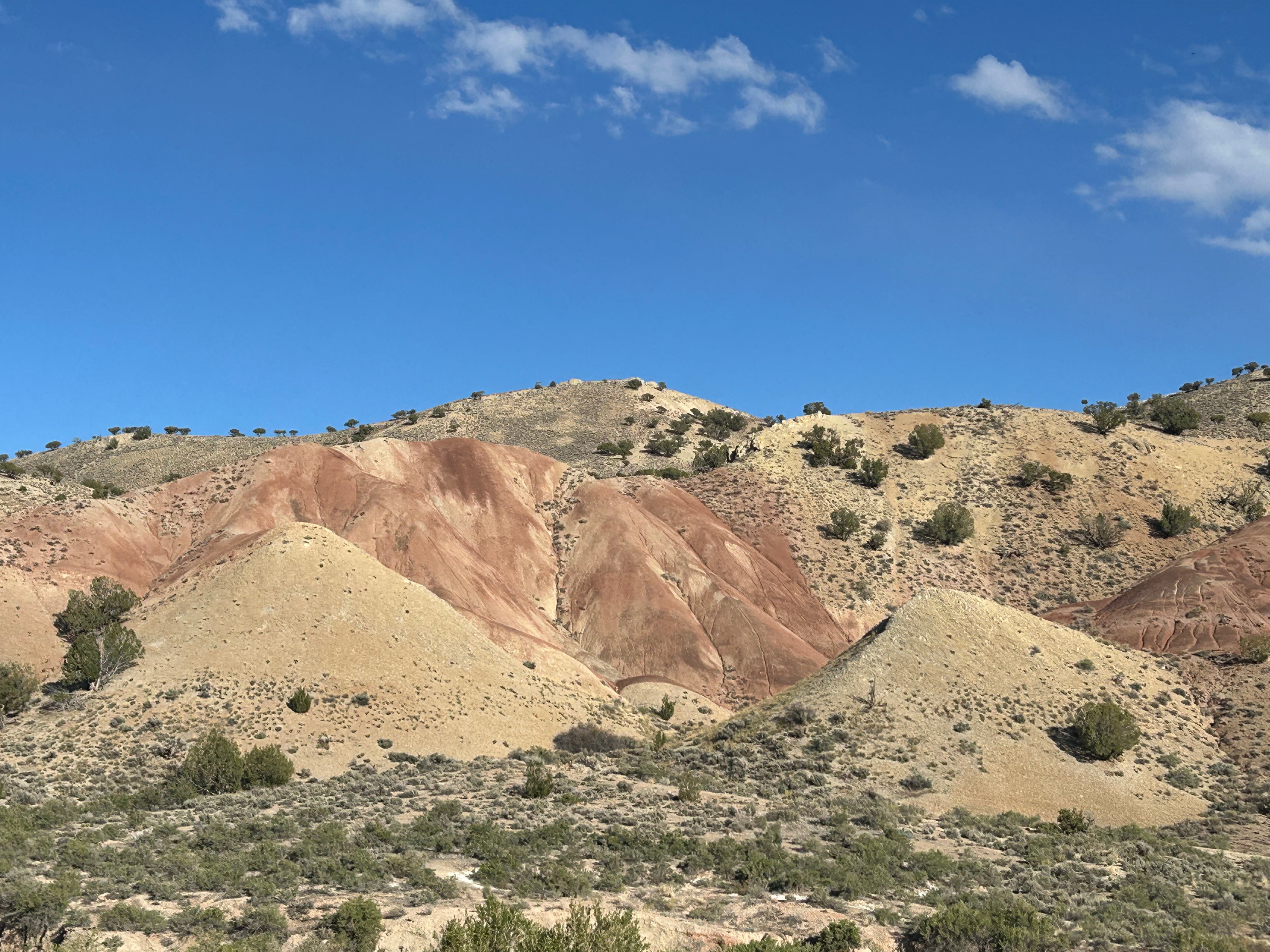
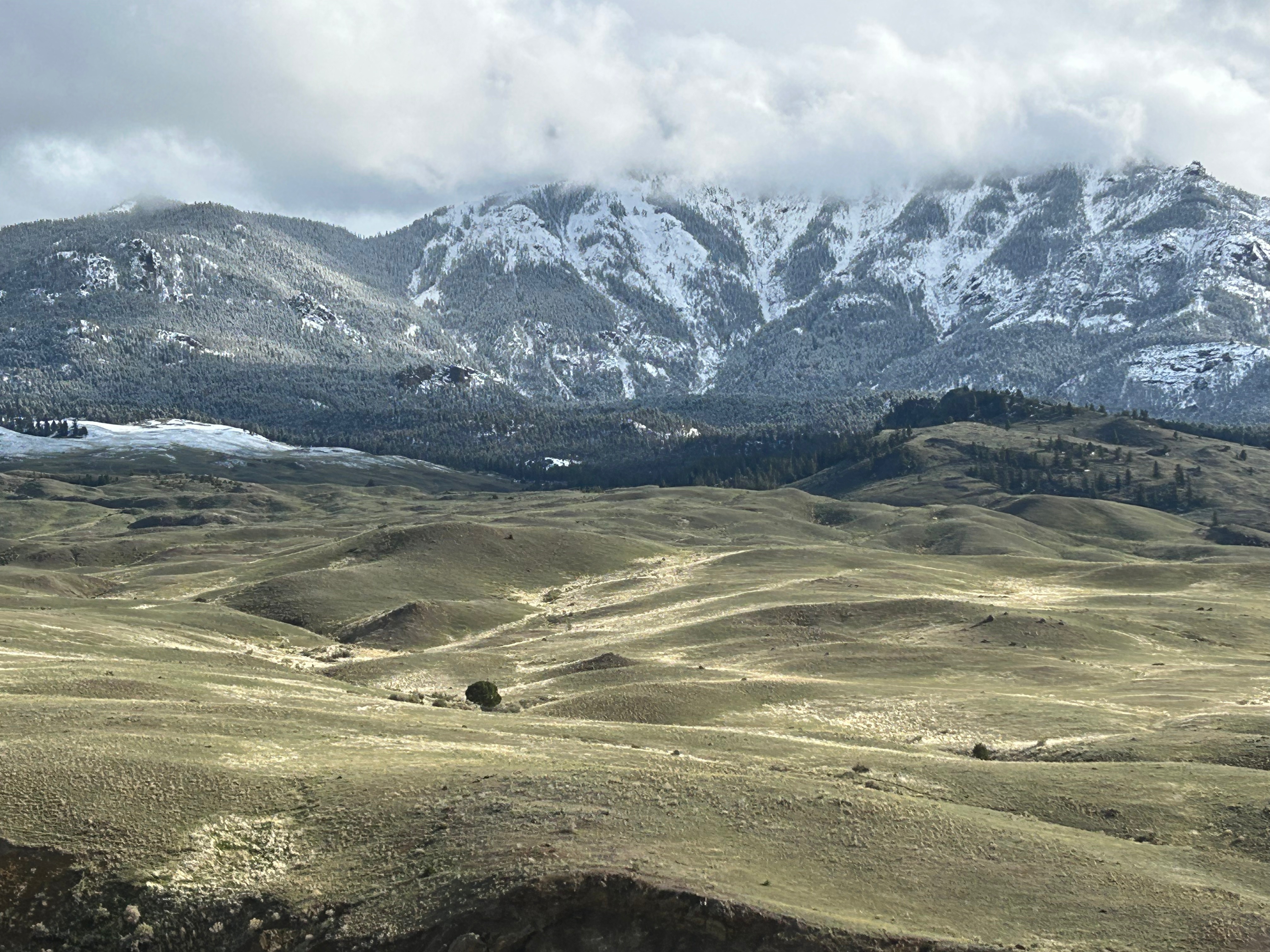
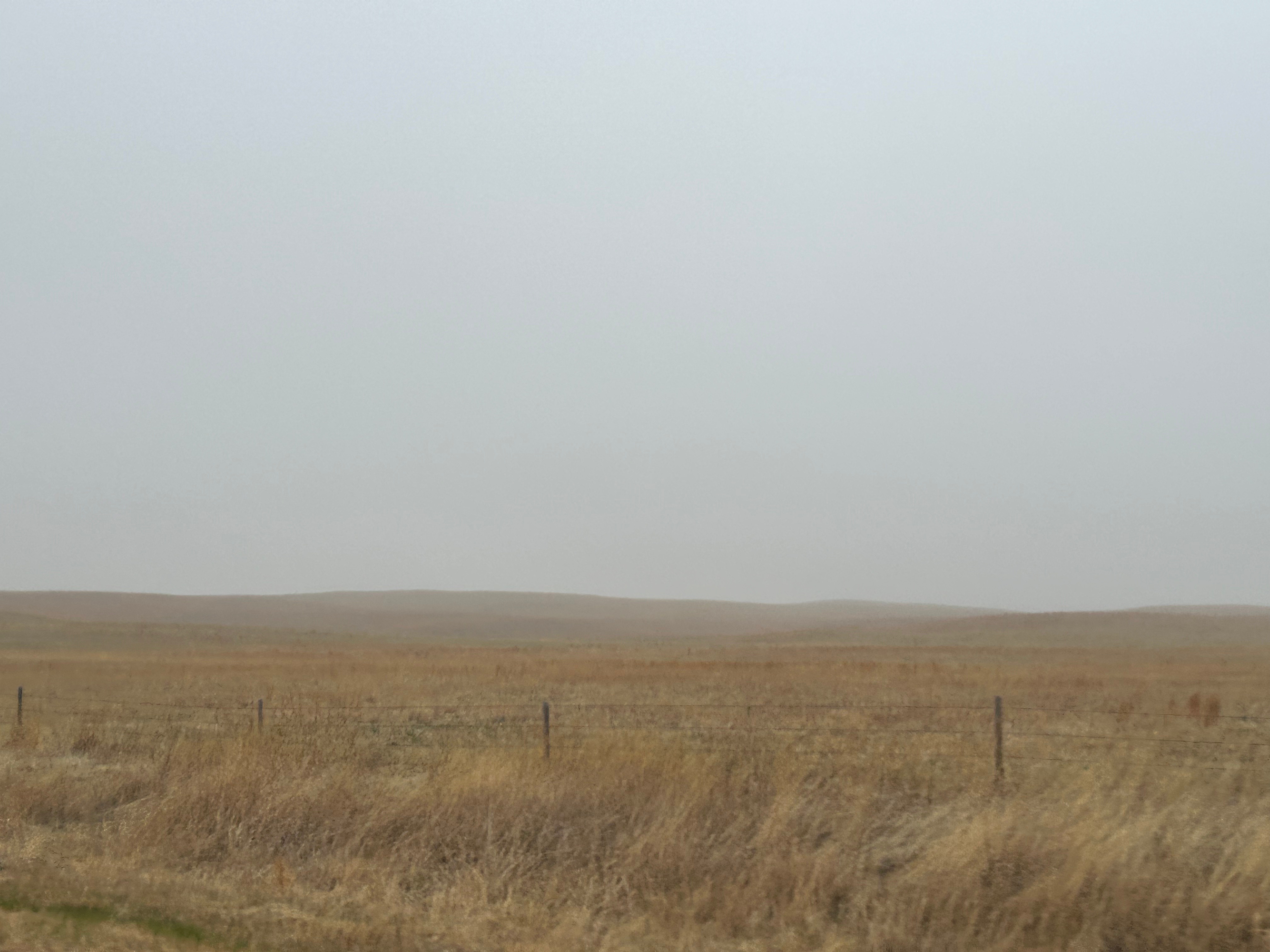
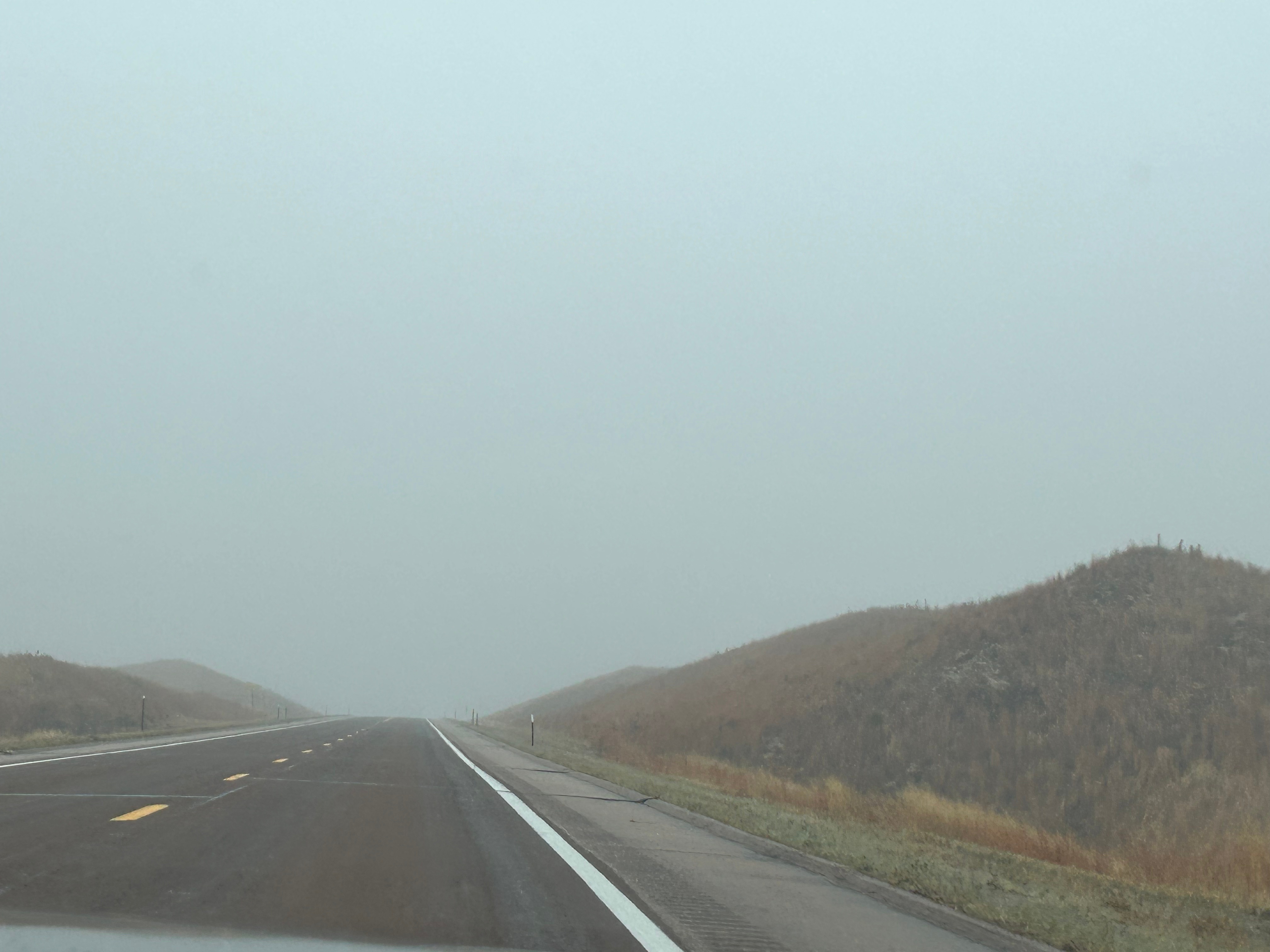
Soon, the landscape changed to rolling, sandy hills. Thom pointed out that it almost looked like dunes in a desert except for the grasses growing on the hills. Turns out, we were in an area of Nebraska known as the Sandhills Region. Apparently this area covers nearly a quarter of Nebraska and is the largest grass-stabilized sand dune field in North America. As is often the case, this picture doesn’t really do it justice, and the weather made pictures a little more challenging.
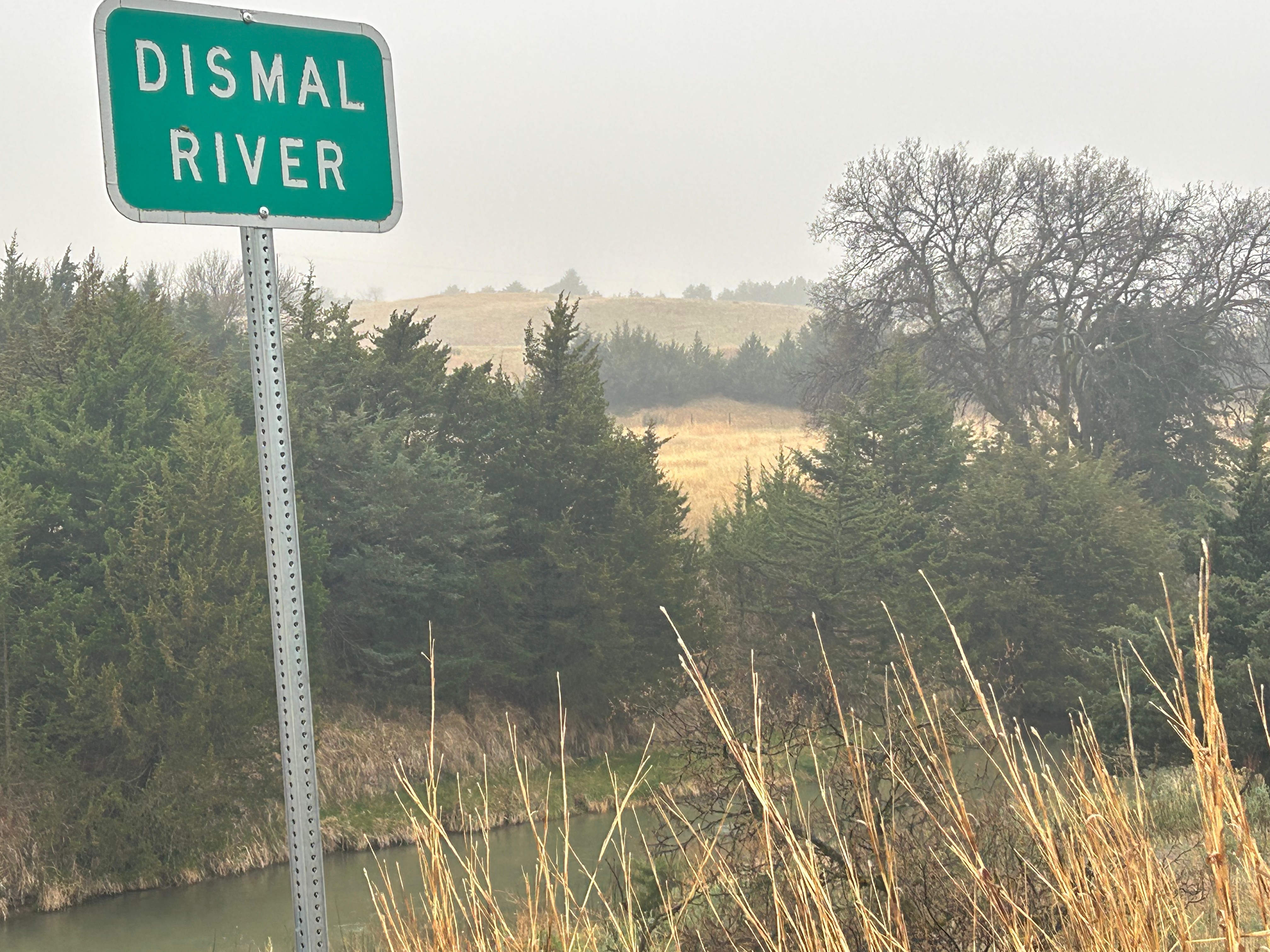
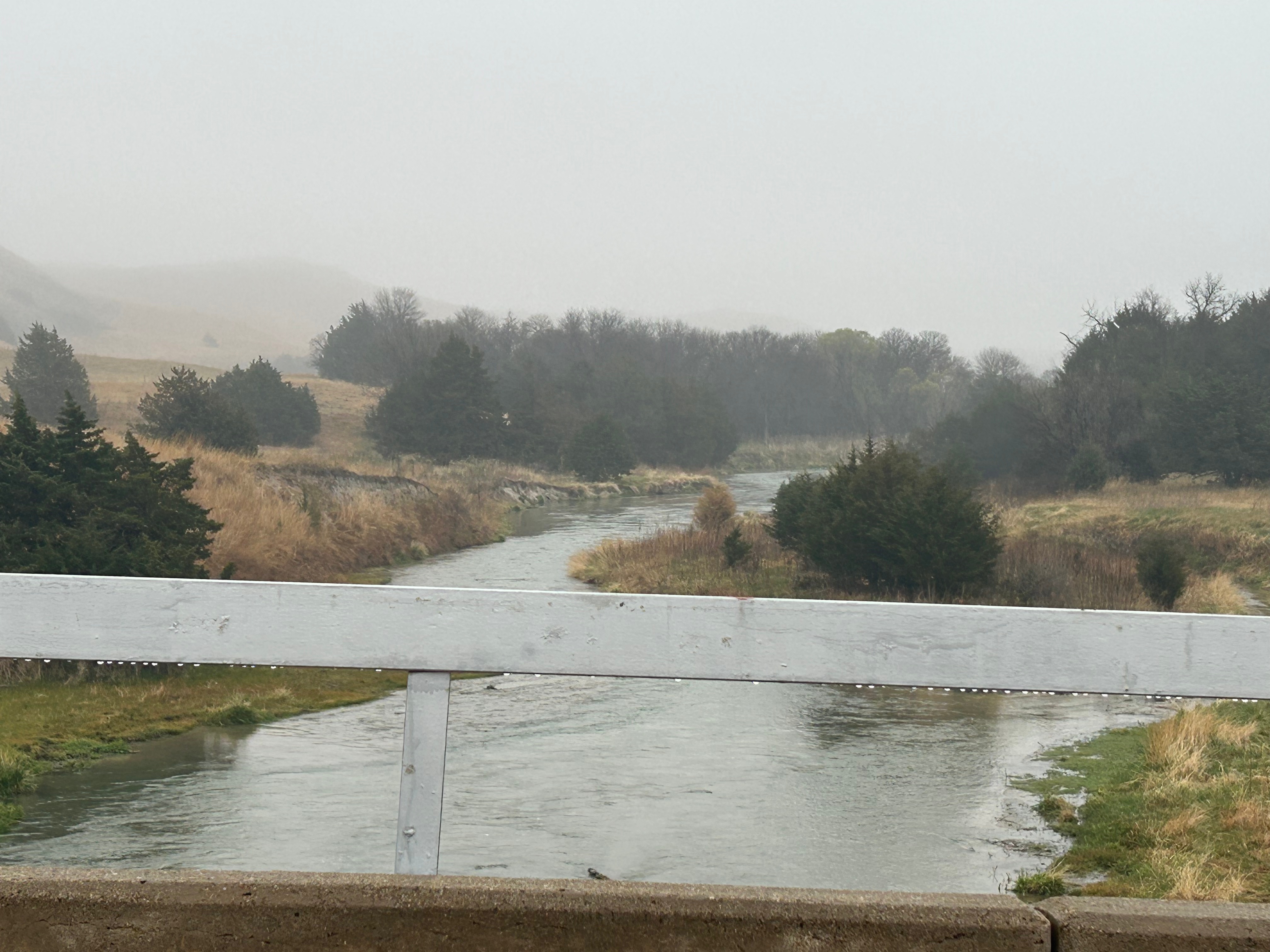
It was detour time when we saw a sign for a “scenic overlook”. It took us on a small backroad loop and, best we could tell, the scenic overlook was the bridge over the comically-named Dismal Creek.
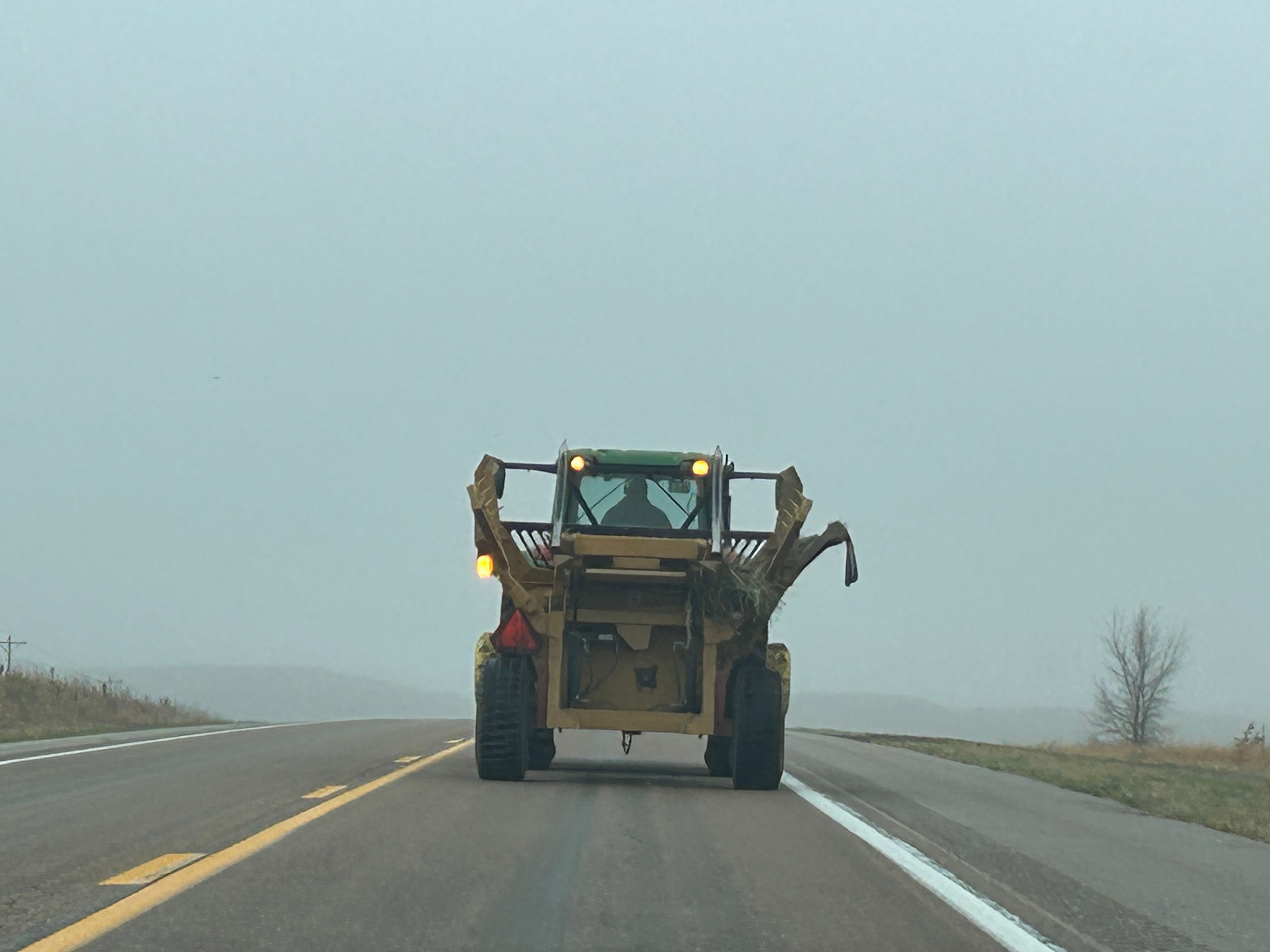
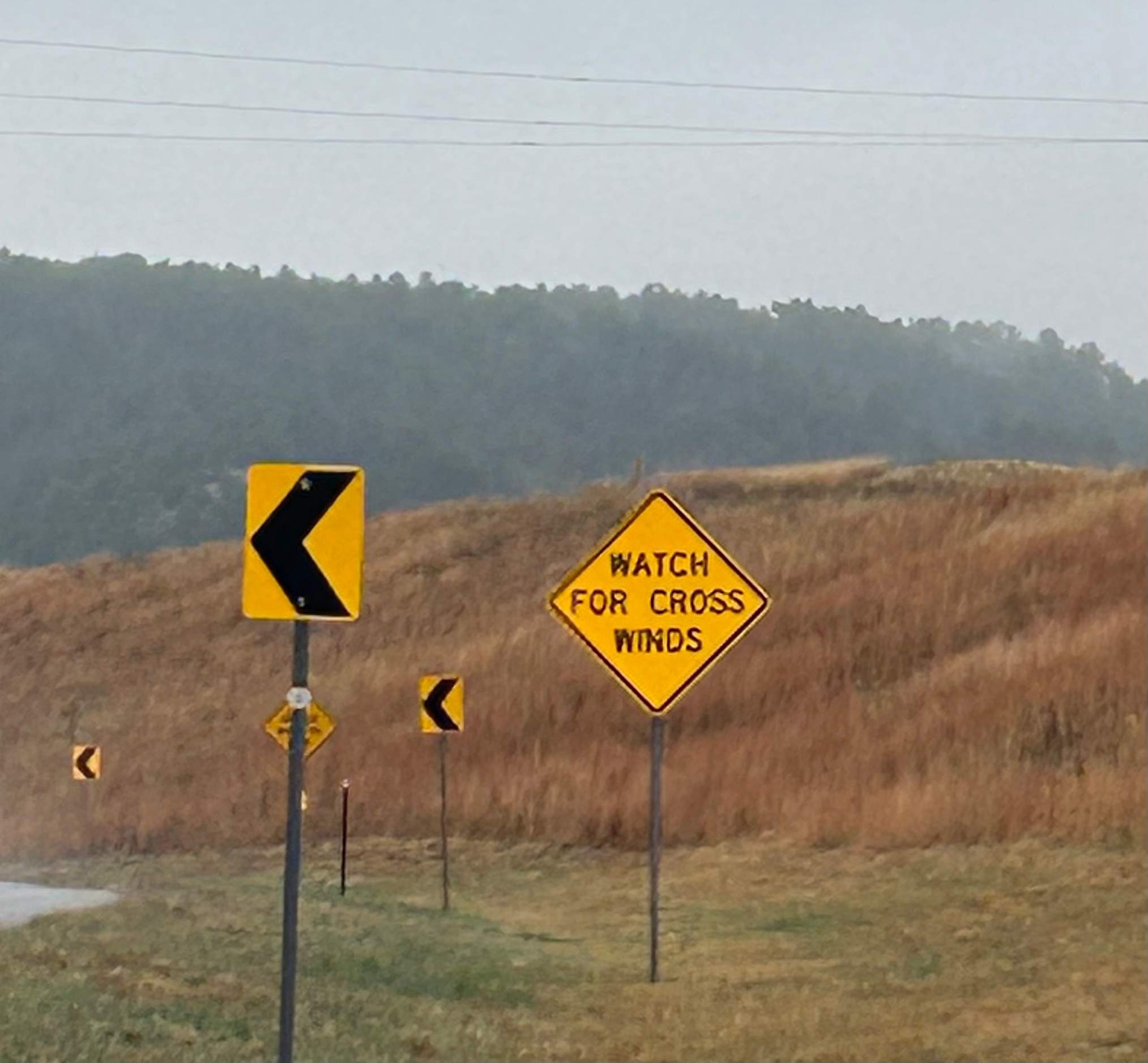
Other oddities along the last bit of Nebraska featured tractors tooling lazily down the highway (easy enough to get around since there were very few people on the road). We also had a good laugh over the “Watch for Cross Winds” signs. We saw these the night prior as well, spurring conversation about how you can’t watch/see wind. The warning was duly noted regardless.
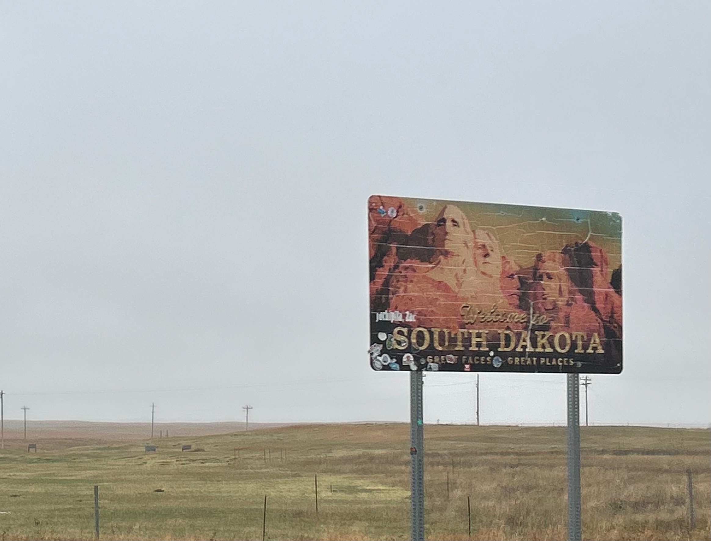
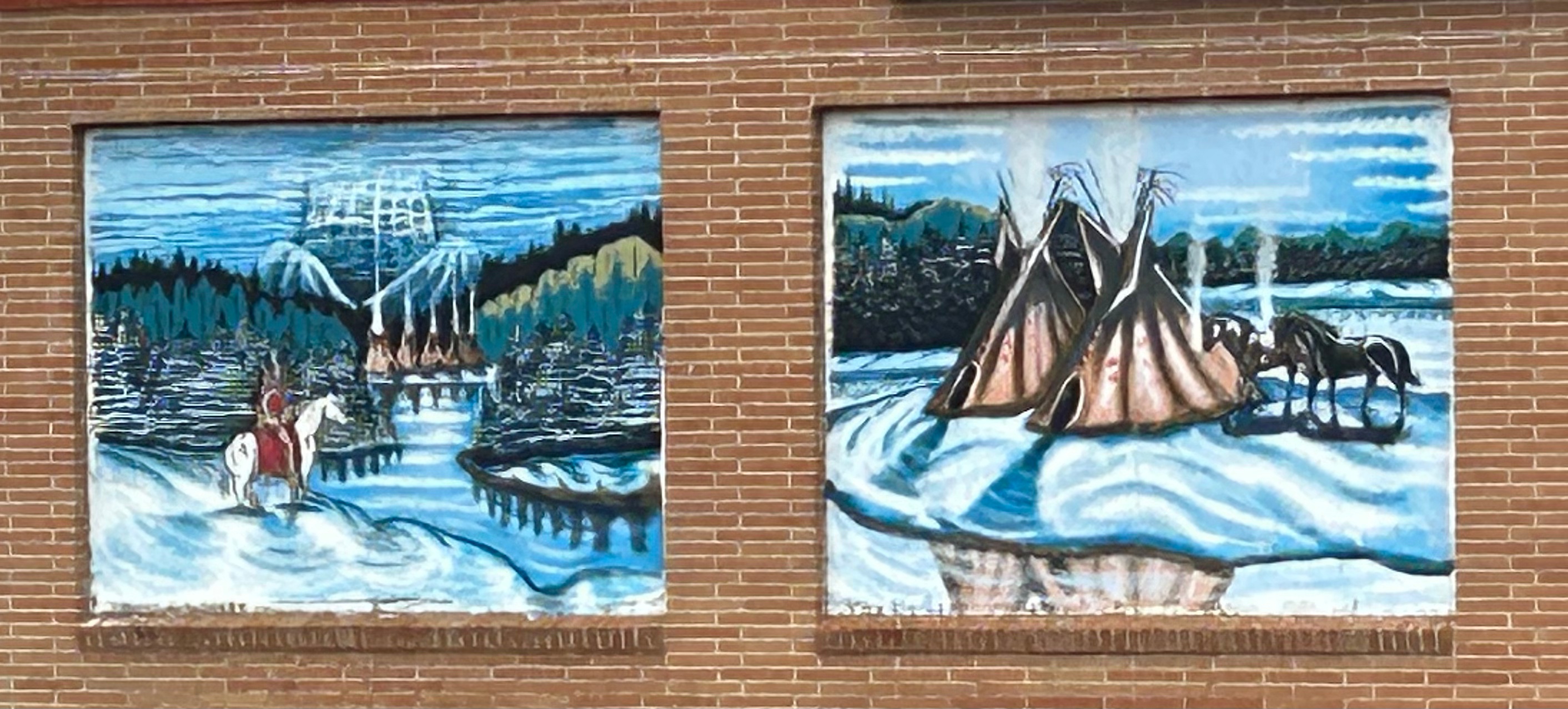
As we moved on from Nebraska to South Dakota, the landscape started including more shrubs and trees that were dark, almost dead looking. Turns out these were Black Hills Spruces and Ponderosa Pines. We drove through small towns and tribal lands, enjoying art on some of the local buildings.
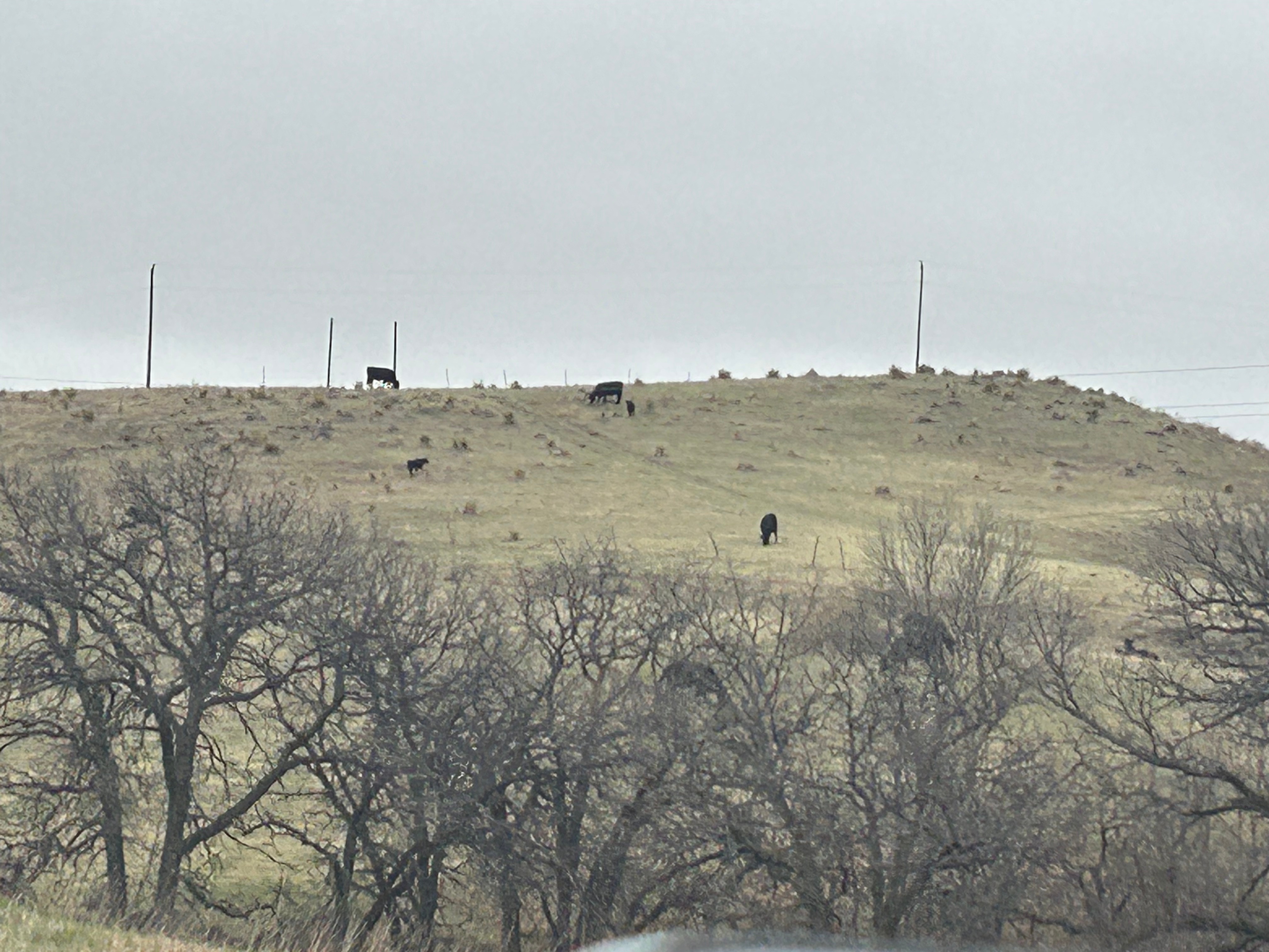
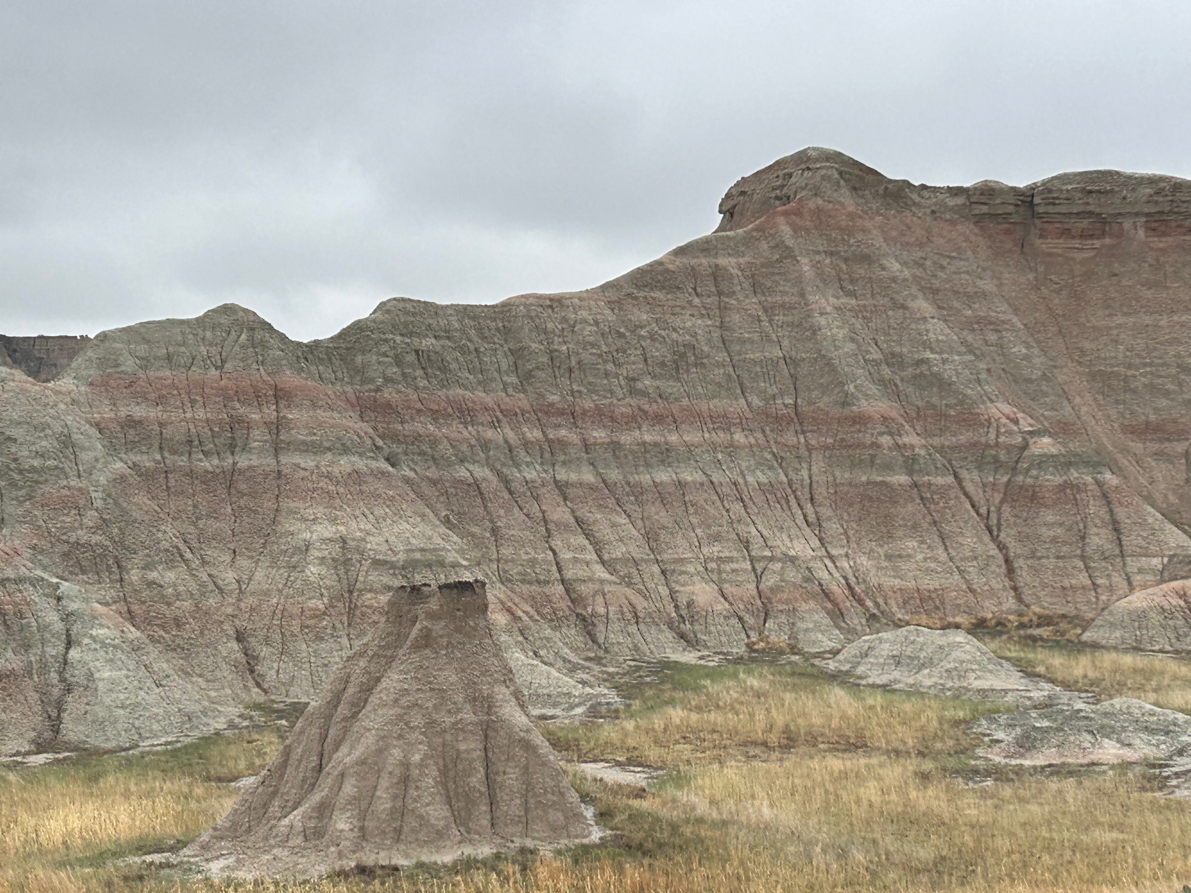
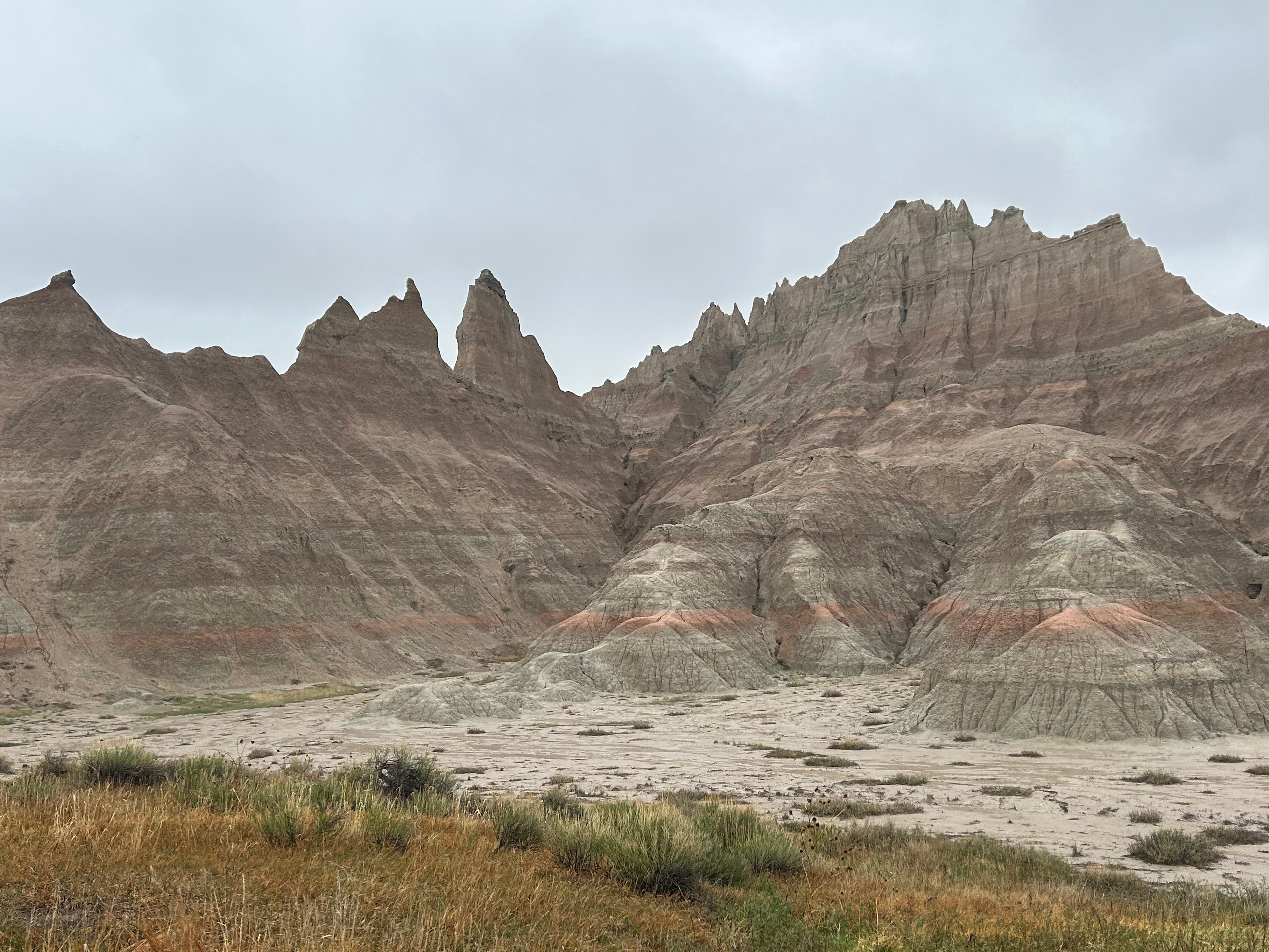
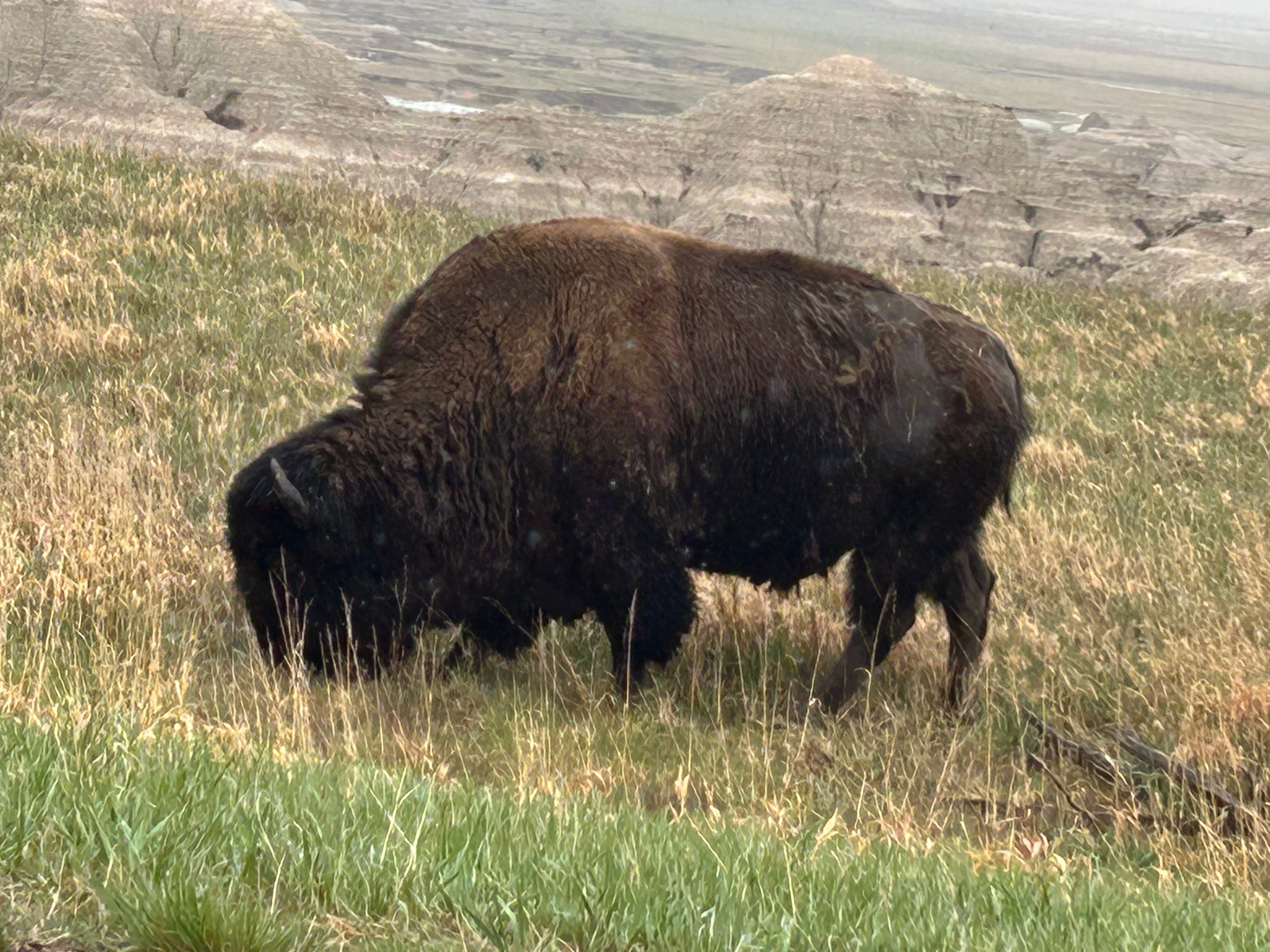
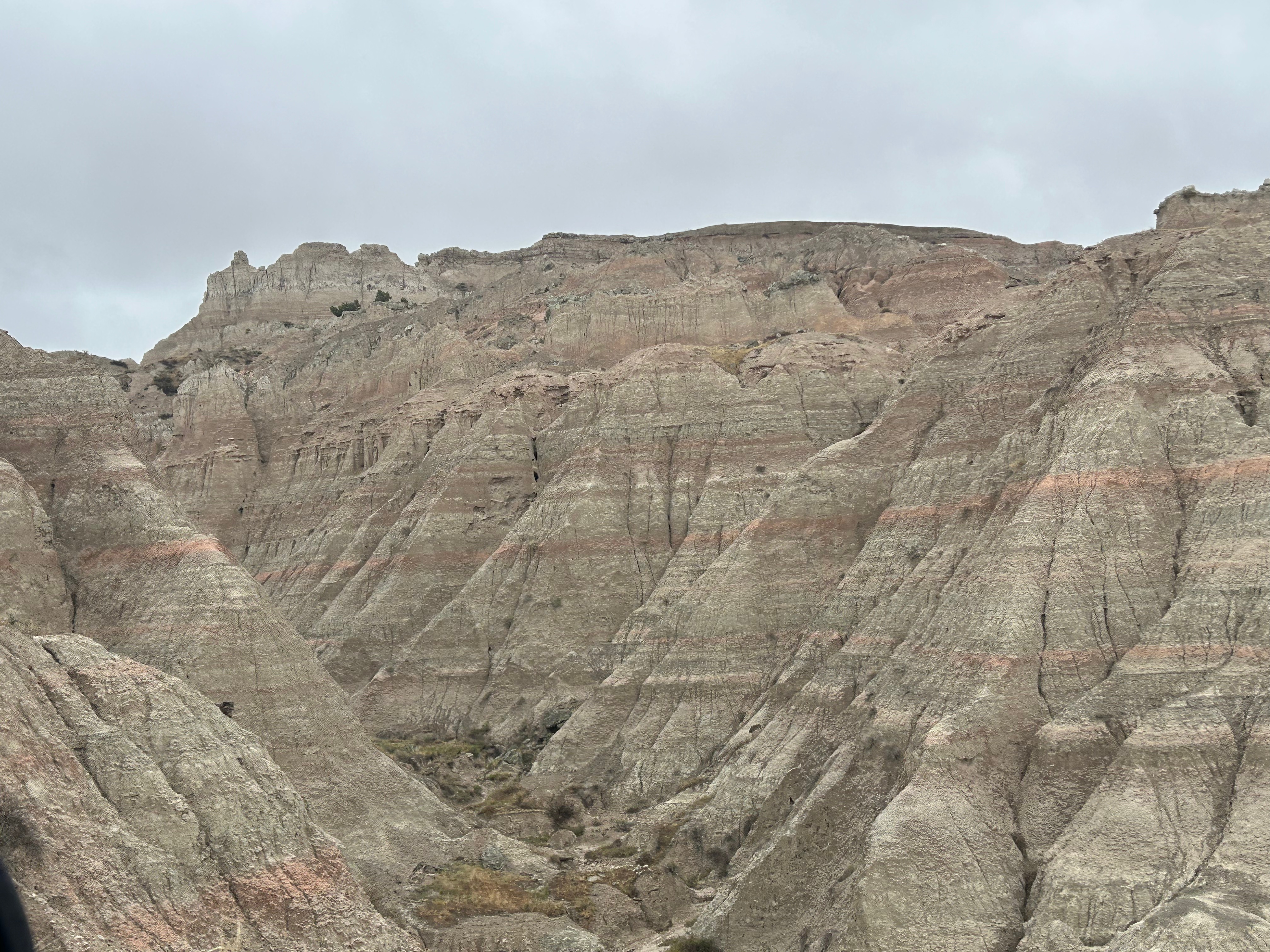
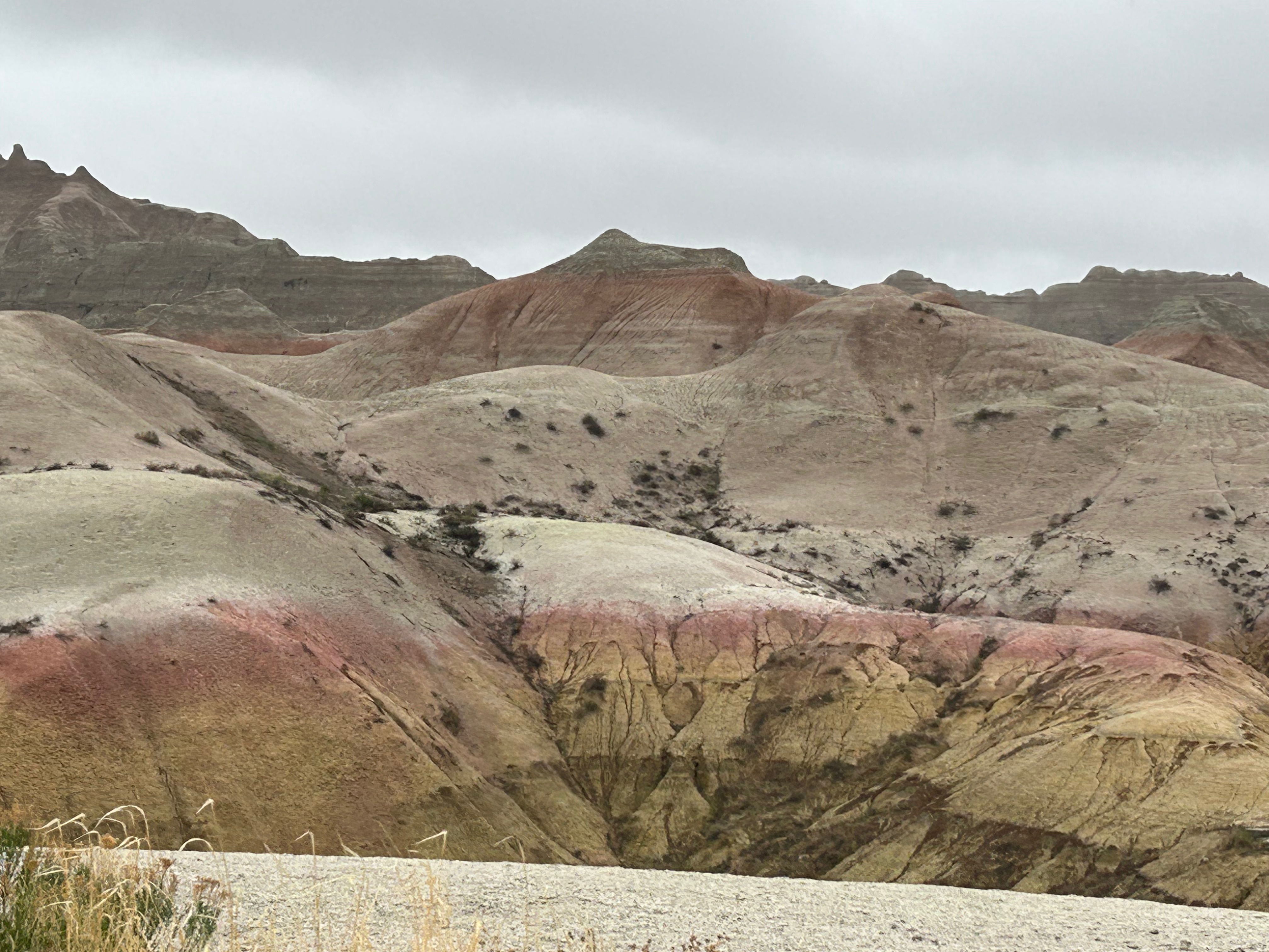
Then, somehow out of nowhere, the landscape changed, and we were in the Badlands. After the obligatory visitor center stop, we took the loop road through the park. It was cold and windy with low clouds, so we didn’t visit any of the overlooks. I’ll bet this place is even more stunning on a clear day where you can see across the vast vistas. It was still such an amazing place, with color and formation changes around every turn. The buttes, peaks, and gullies were all interspersed with the surrounding prairies. Even without the sun shining on the formations, you could see more colors than you could count. Despite the weather, we got to see some bison grazing along the roadside. We also saw the mounds where prairie dogs and black-footed ferrets live, but they seemed to be hiding from the weather.
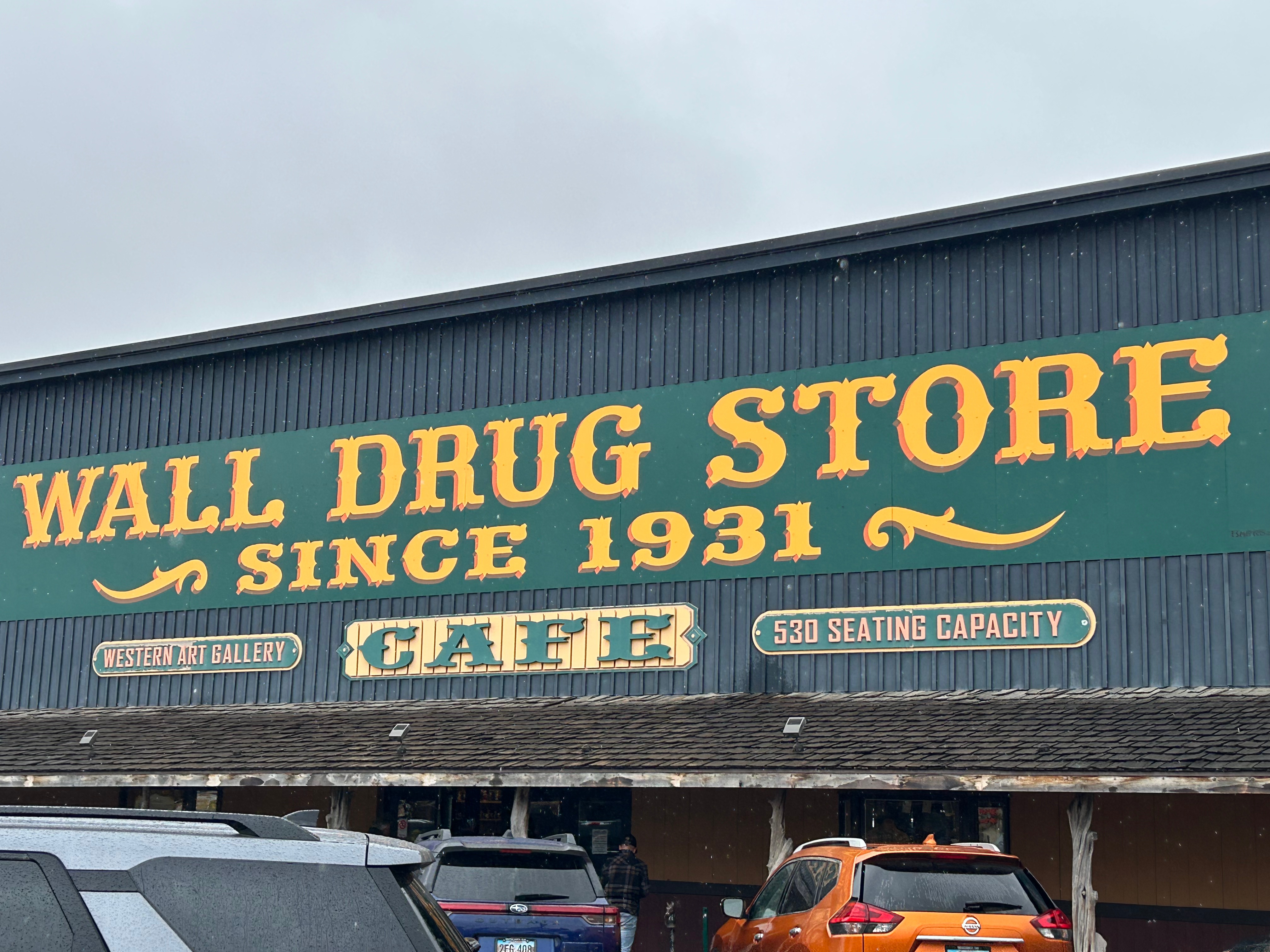
As we departed the Badlands, it just happened to be lunchtime, and we just happened to be near Wall Drug. So off we went to check out another tourist trap. The whole town of Wall leaned heavily on the draw of Wall Drug and the place was surrounded by every possible shop you could imagine. We didn’t pan for gold or go gem mining or even buy boots. We did have a delicious lunch and amazing cherry pie. Of course, I also had to enjoy some free ice water. If you know, you know. ;)
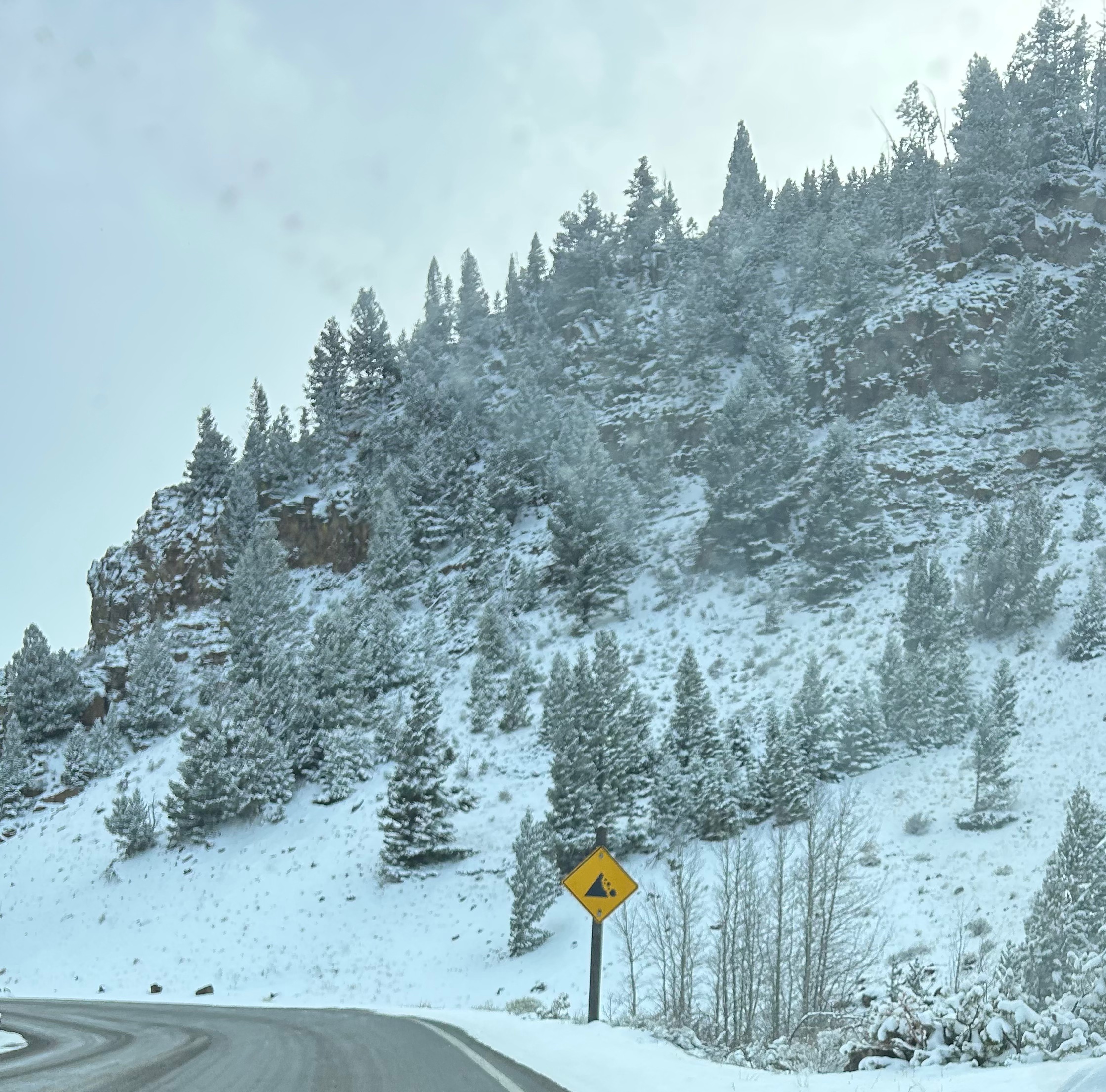
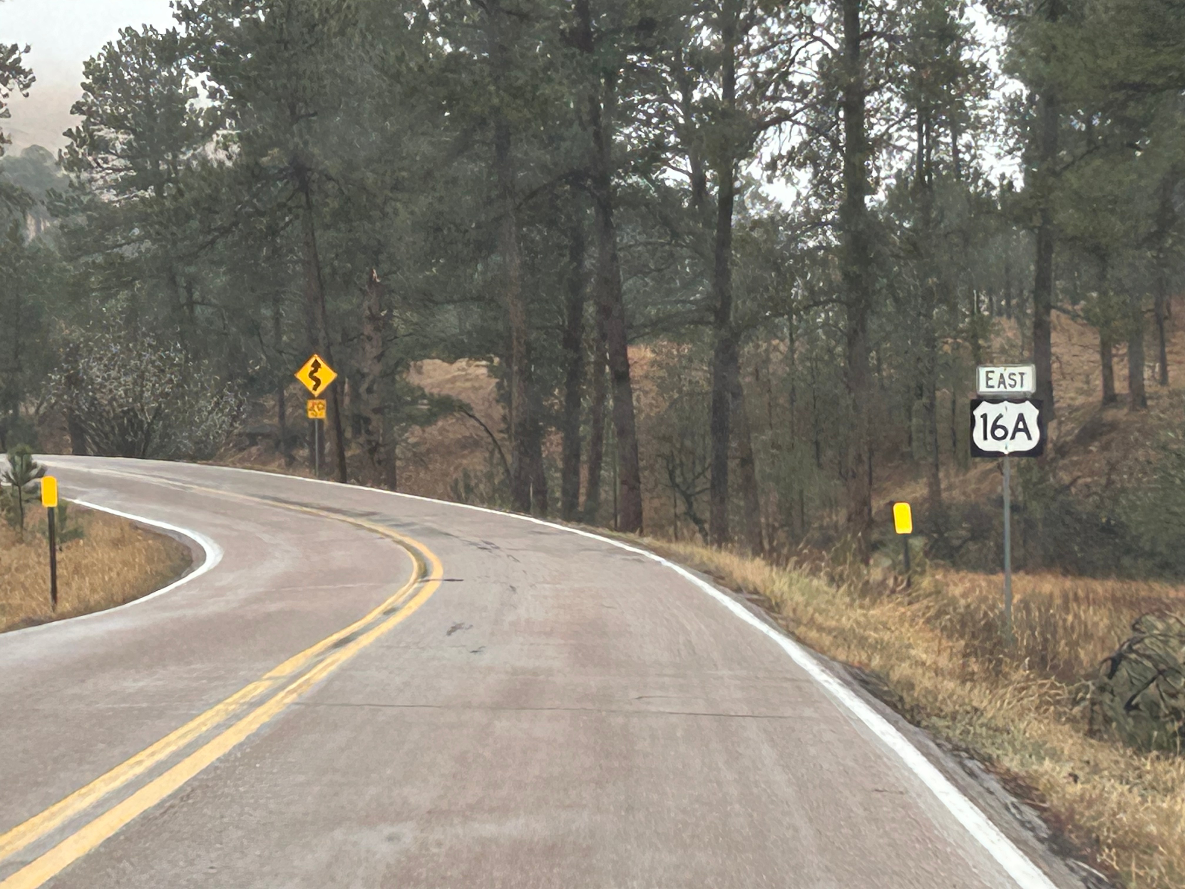
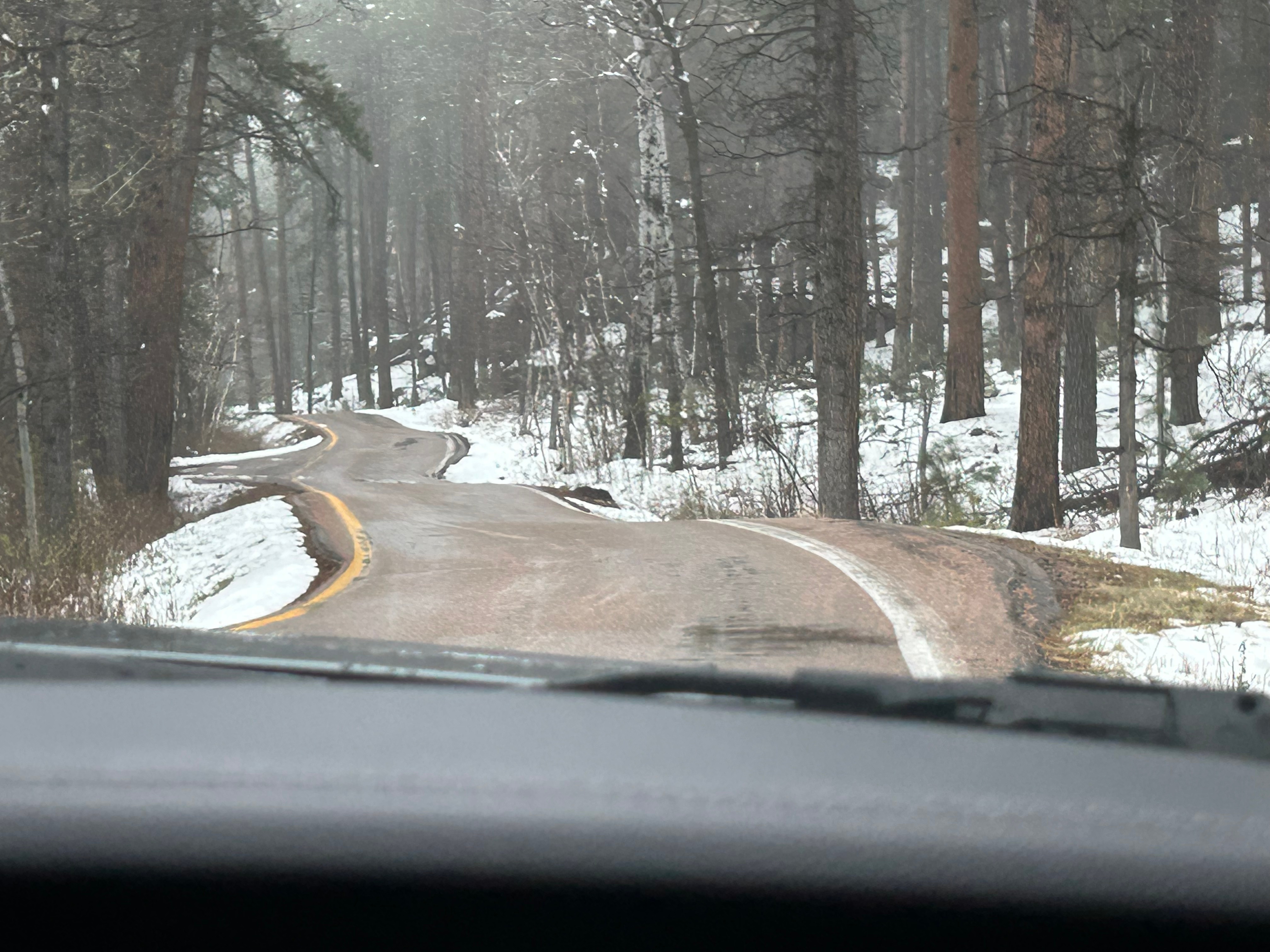
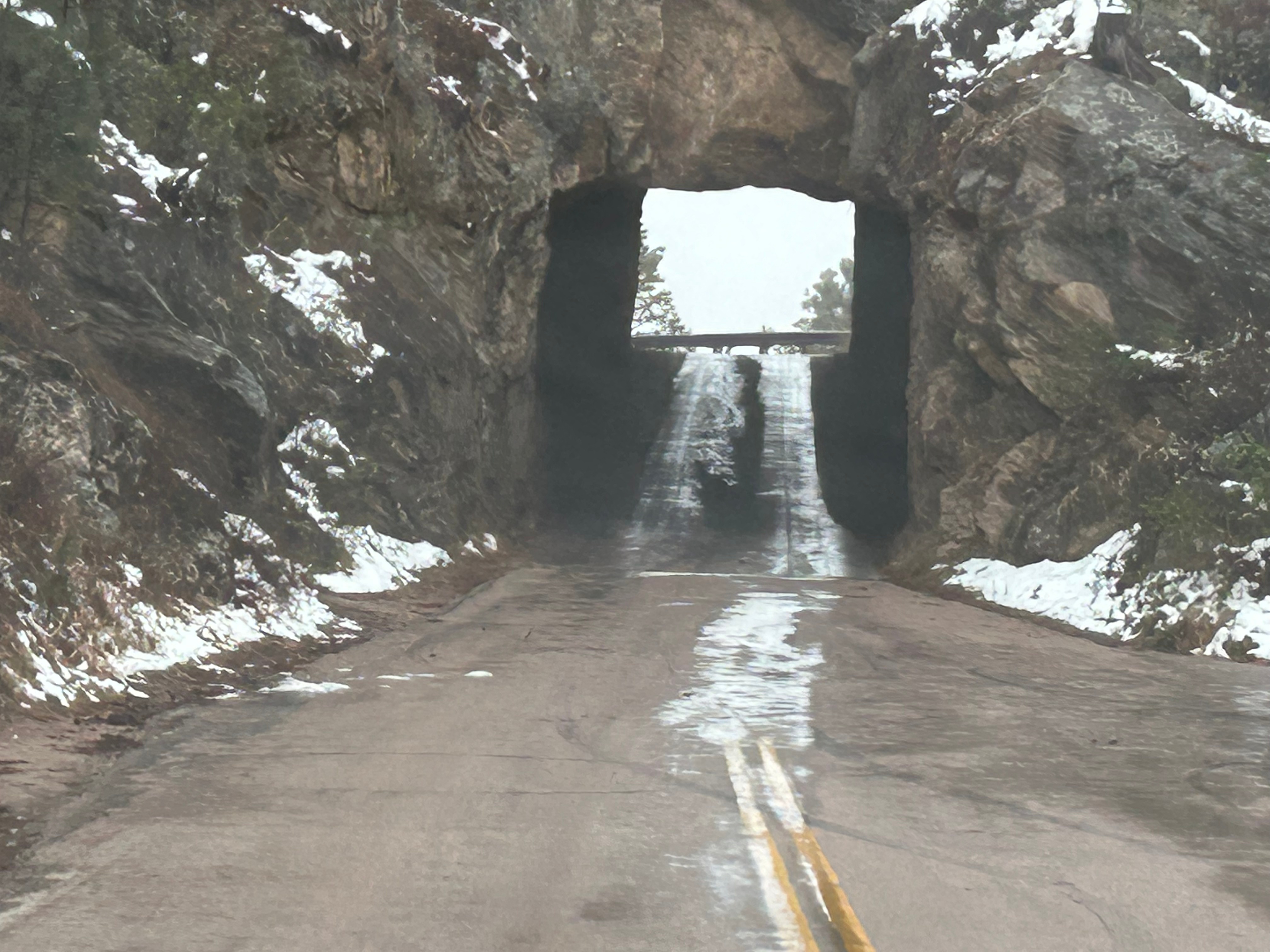
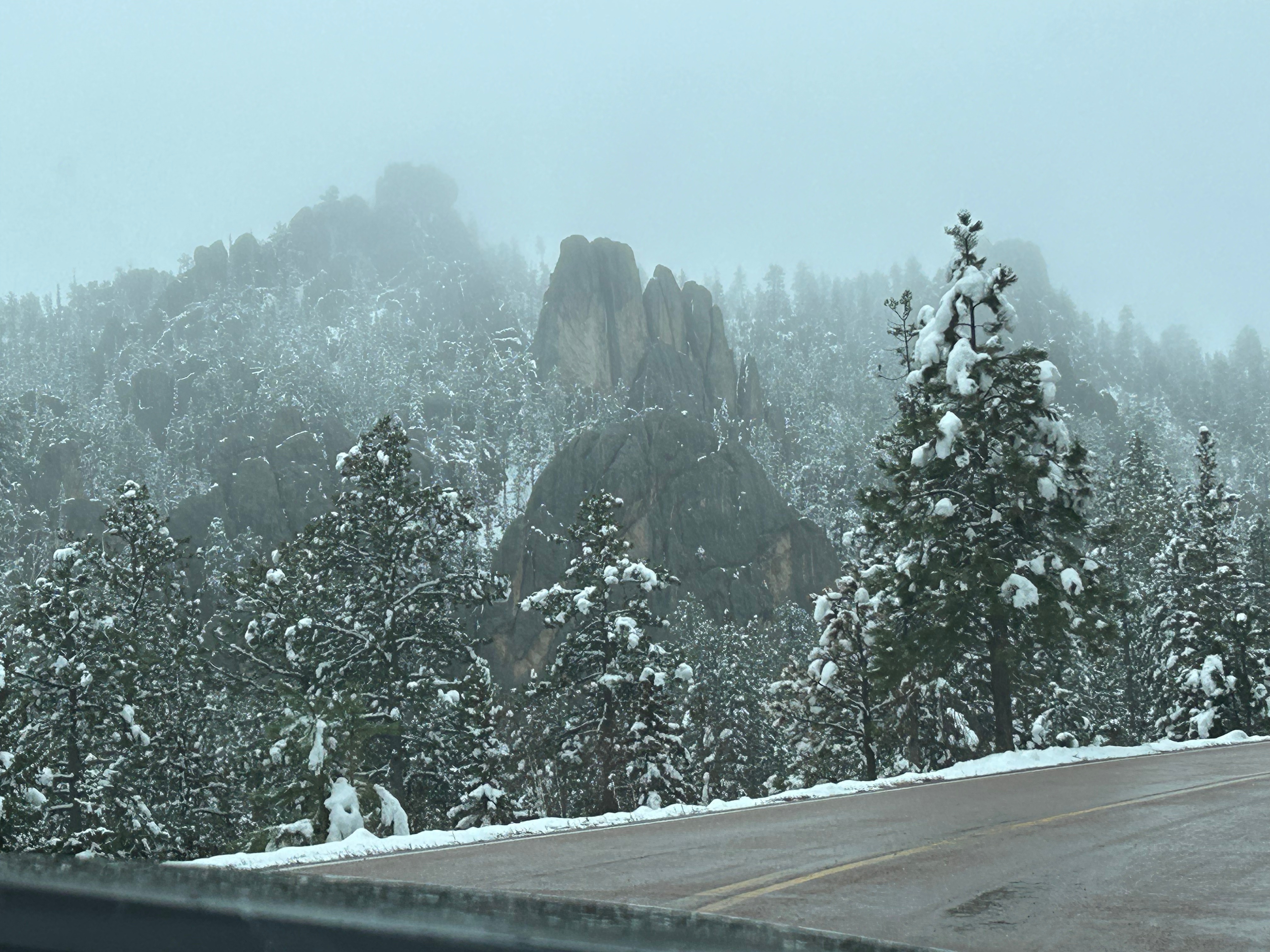
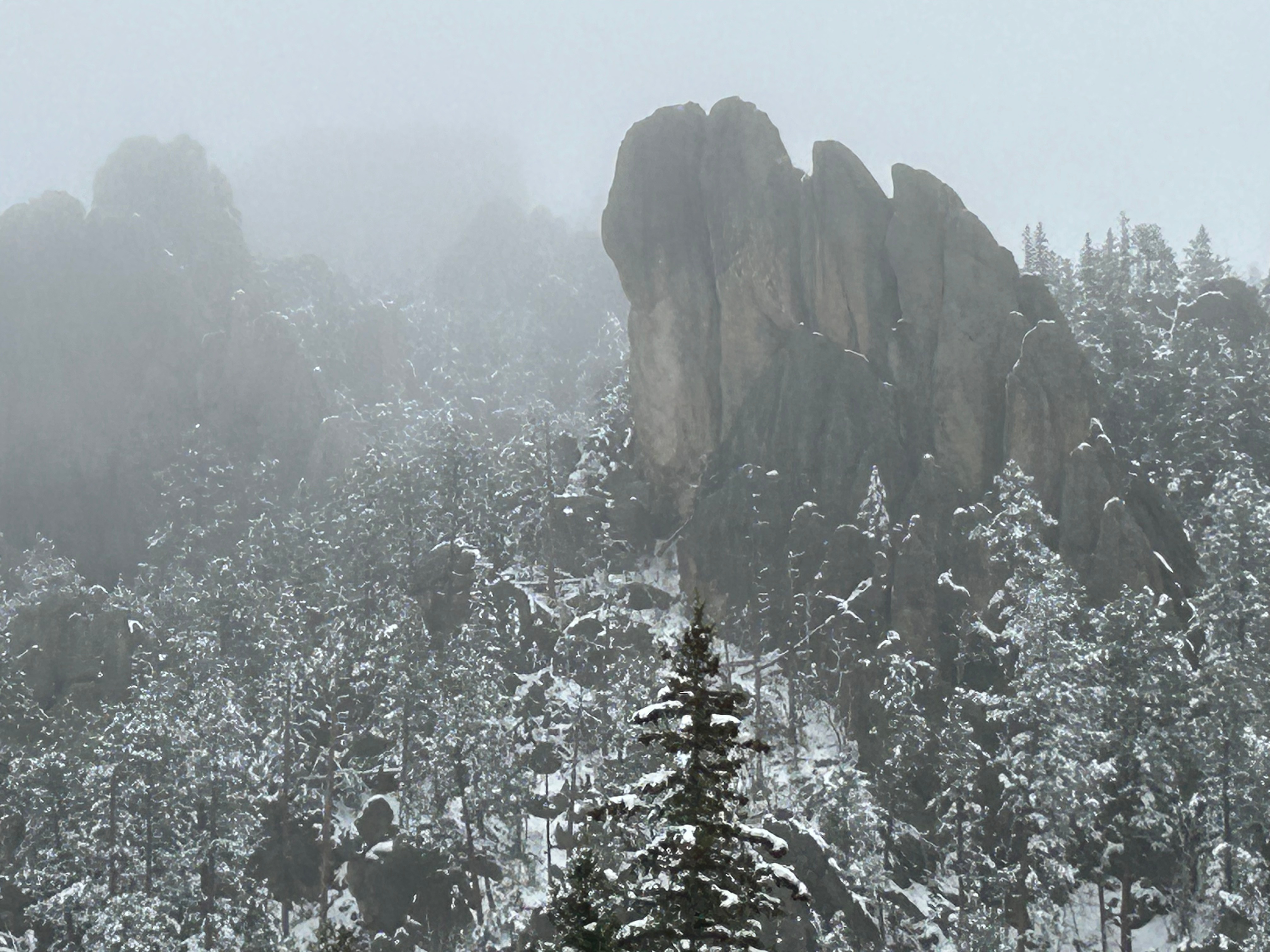
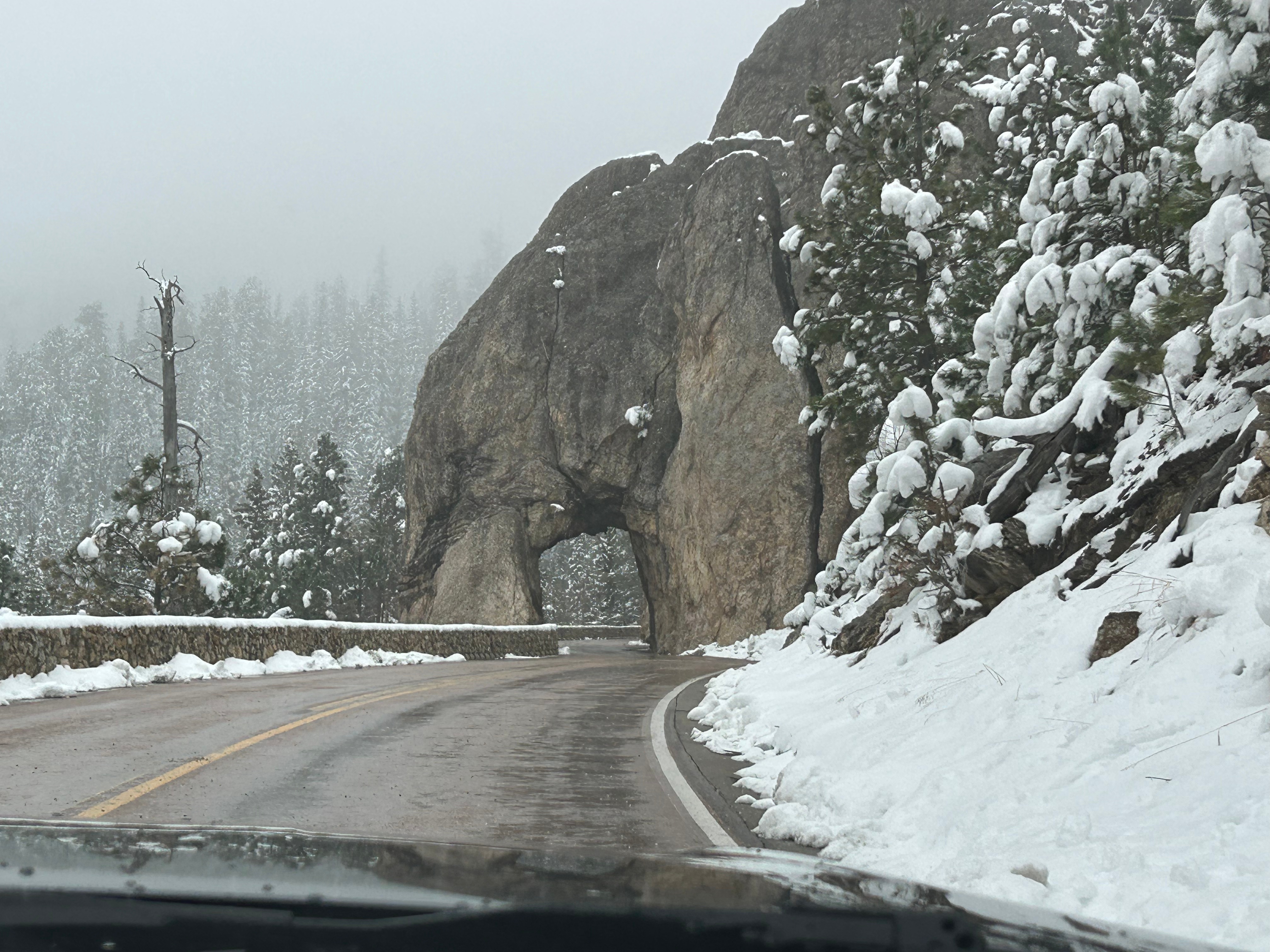
It looked like we had burned just enough time to venture towards the Black Hills National Forest after the morning’s snow. The Iron Mountain Road in the Black Hills is what brought us to South Dakota to begin with. Thom was eager to drive this road, and I was eager to see the views. We’d watched some YouTube videos of others driving this road, and the tunnels seemed cool–especially the one where you can see Mount Rushmore through the tunnel. The roads were still wet from the morning snow but, as with every road we’d encountered, it seemed like all roads were treated well and frequently. So off we (cautiously went).
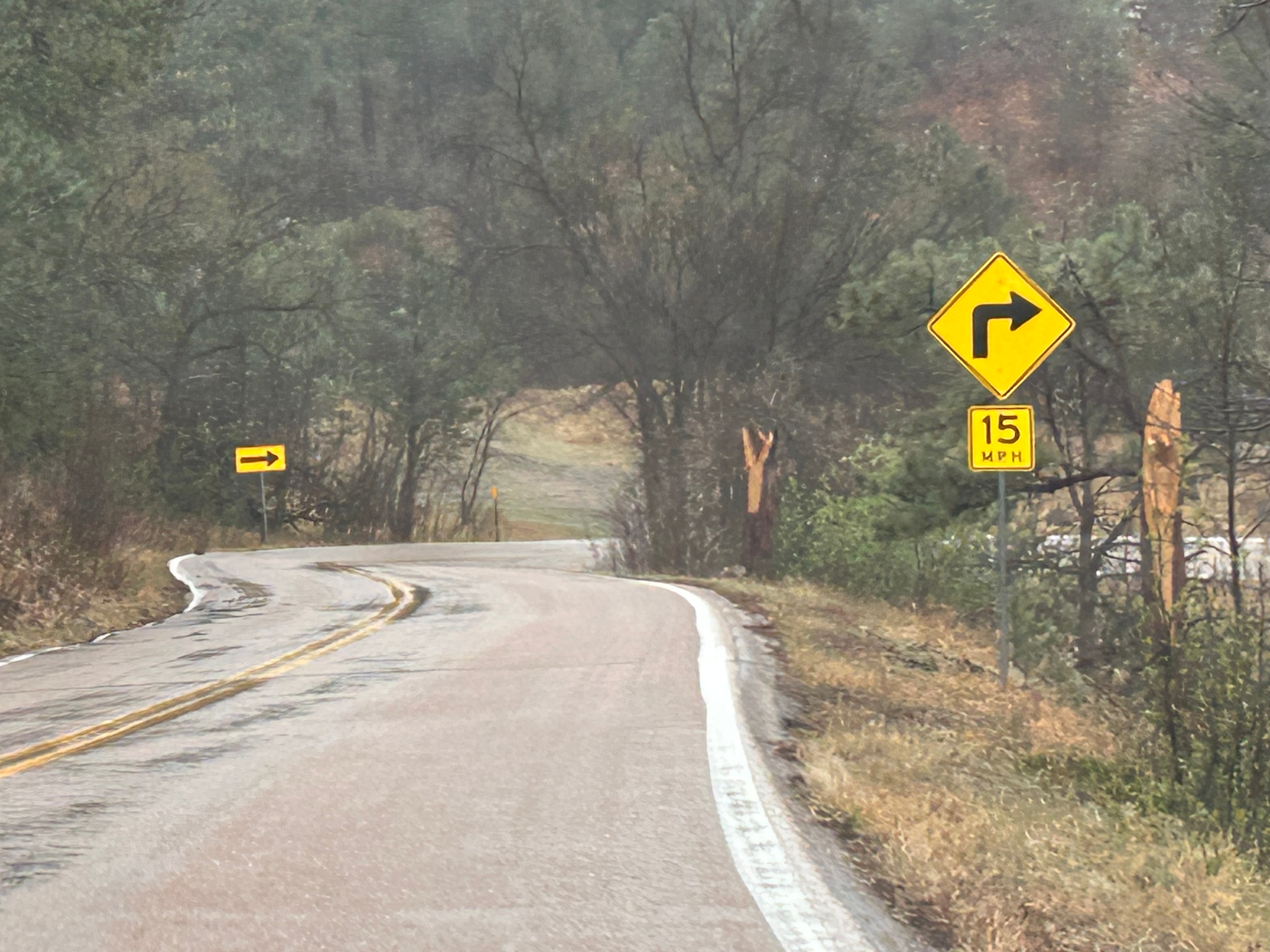
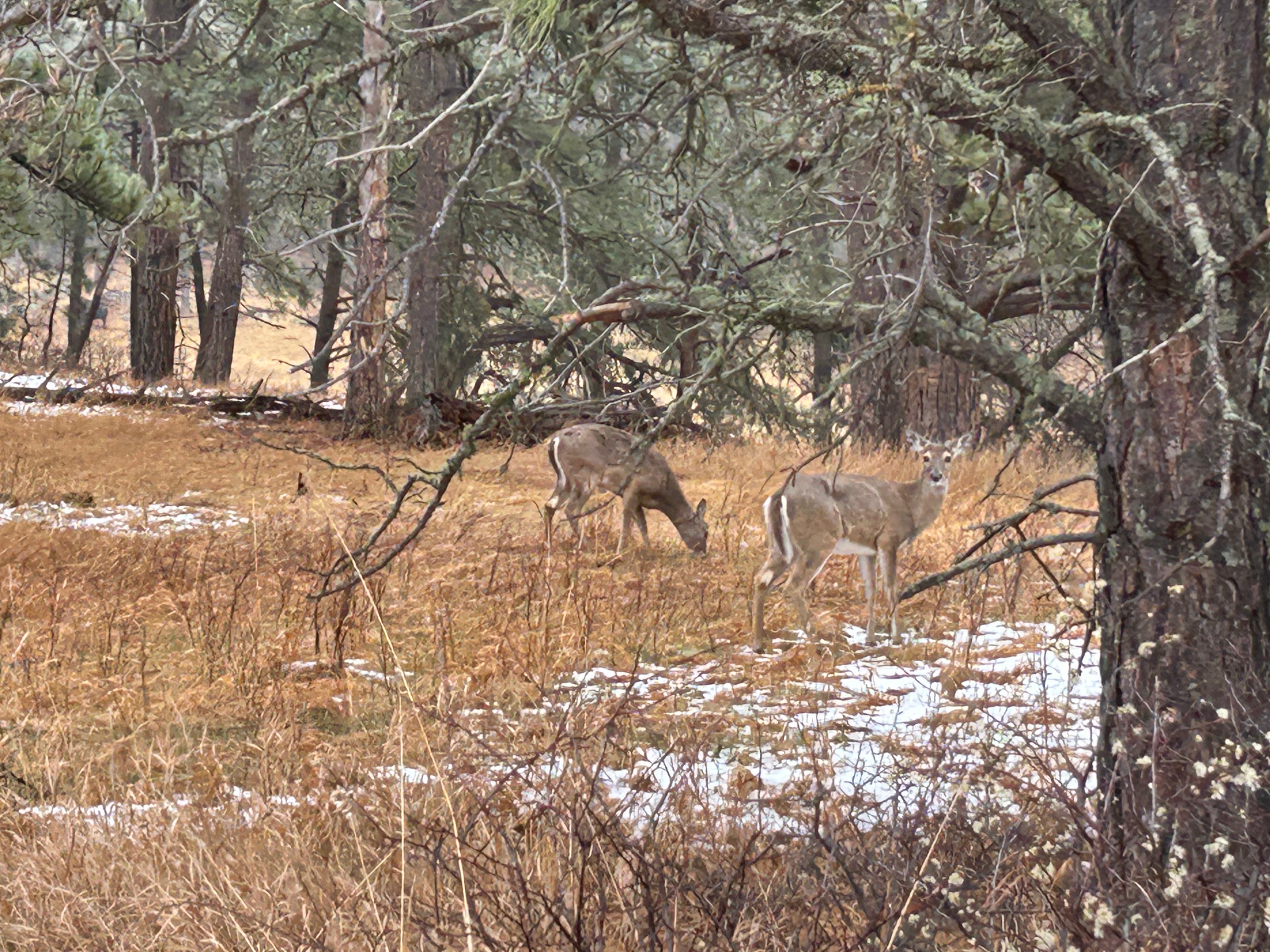
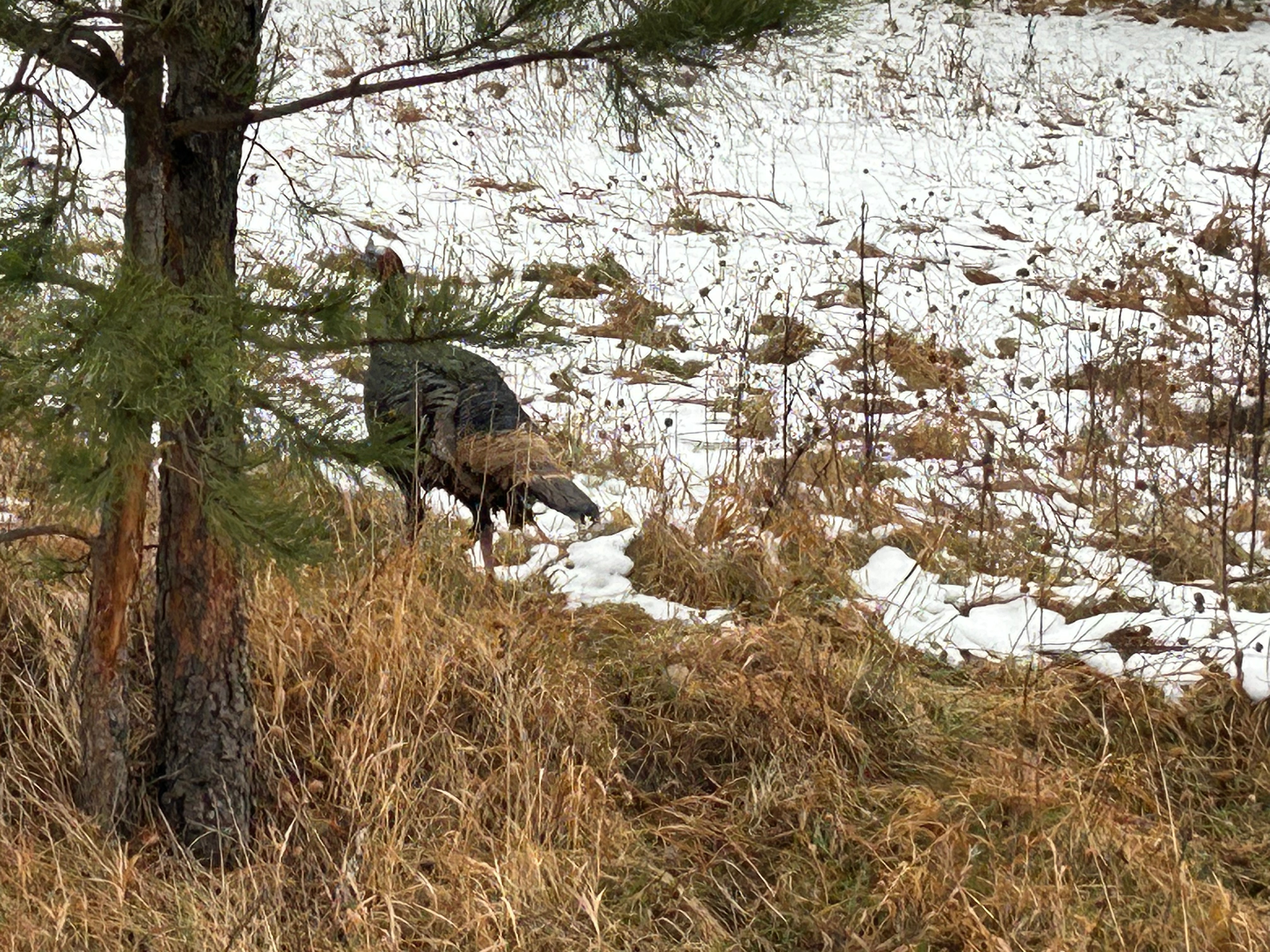
The Iron Mountain Road is a 17-mile stretch featuring 314 curves, 14 switchbacks, 3 pigtails, and 3 tunnels. Oh, and there are countless animals…some of which could be standing in the road when you round a corner. We saw so many animals, many of which we captured pictures of: bison, deer, turkeys, vultures, and antelope. Sadly, we didn’t see any of the big horn sheep. And if all of this wasn’t challenge enough, we were making an elevation gain of about 1000 feet…putting us squarely into areas of deep snow and dropping temperatures. Thom took it really easy and we just enjoyed the ride.
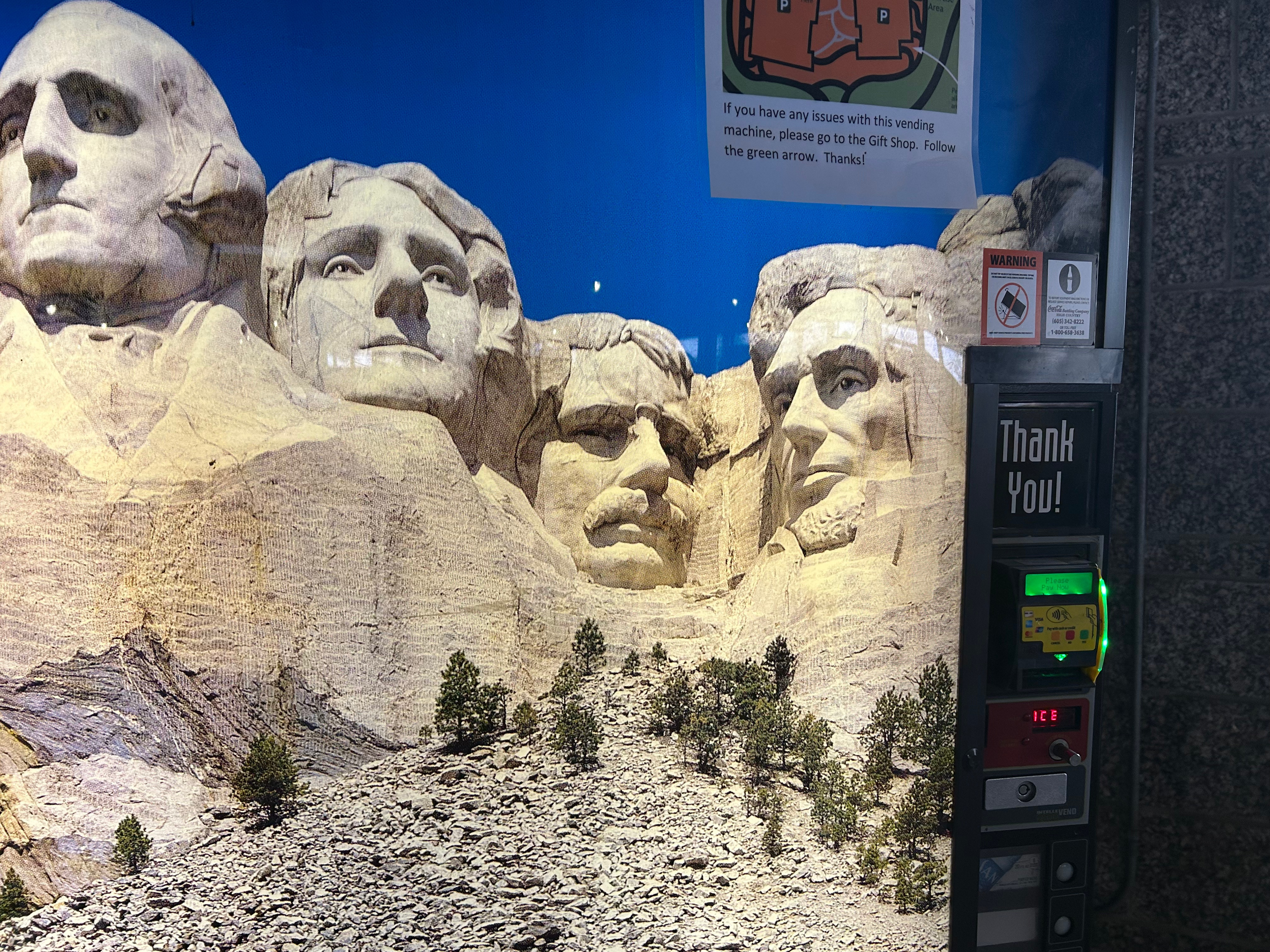
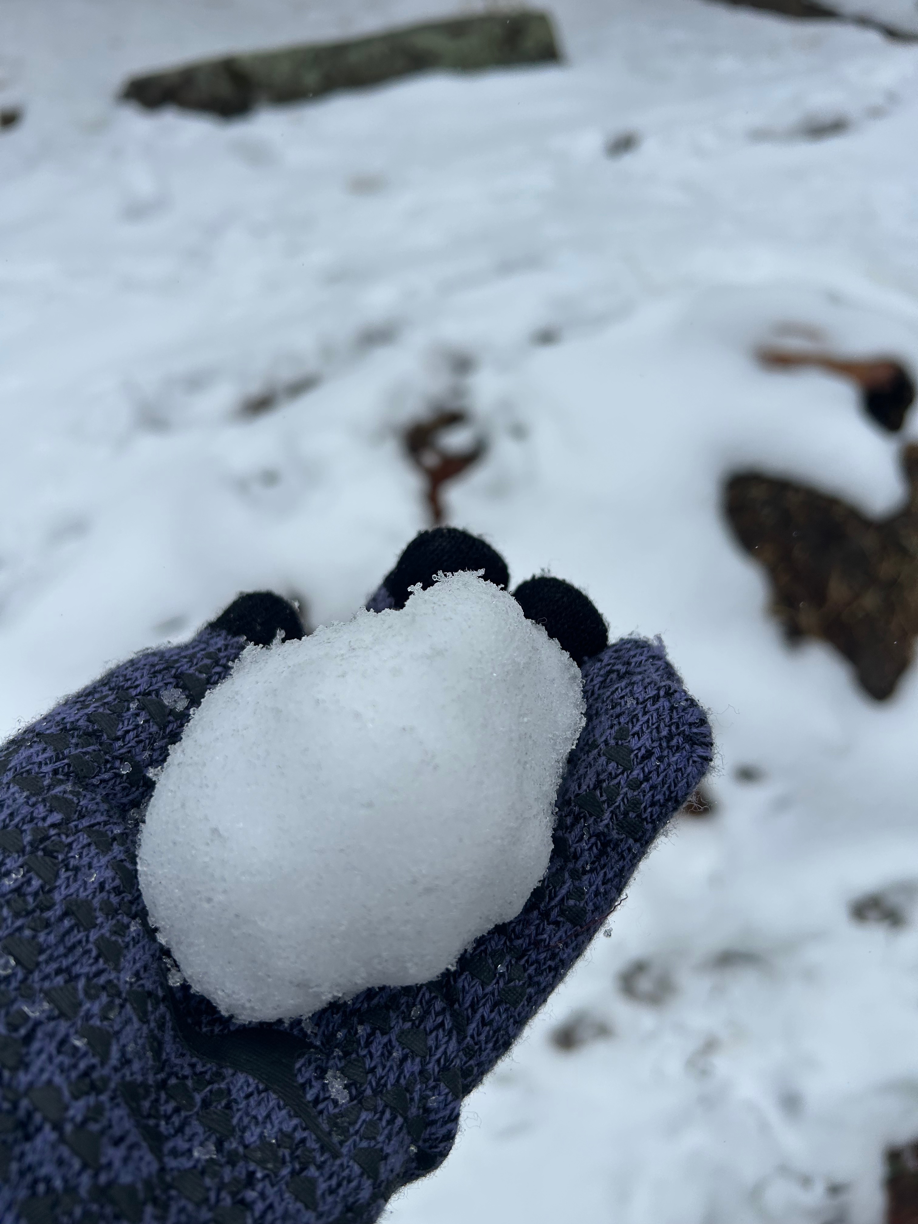
As you may have noticed from the pictures, there was no iconic Mount Rushmore view through a tunnel. There were just too many clouds. No problem, we were going to see Mount Rushmore up close after driving this road. Well, fun fact, you apparently don’t get all that close to Mount Rushmore, as we found out after paying $10 (since it’s not included in the National Park Pass, for some reason). We navigated the massive parking system, walked up through snow and slush, and were sorely disappointed at the wall of dense clouds. Ah well, we got a picture of the monument off the drink machines and I got to make a snowball, so all was not lost.
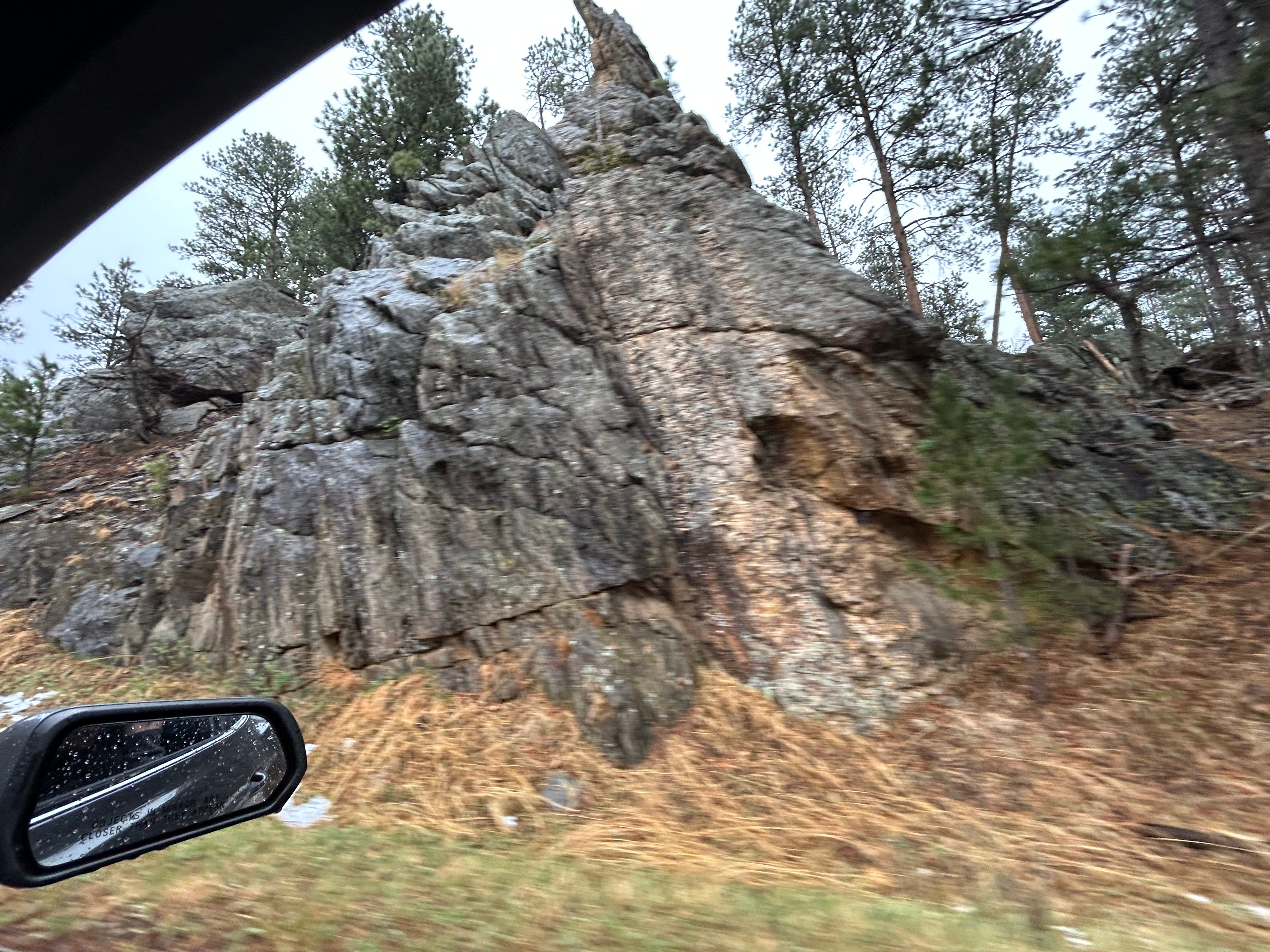
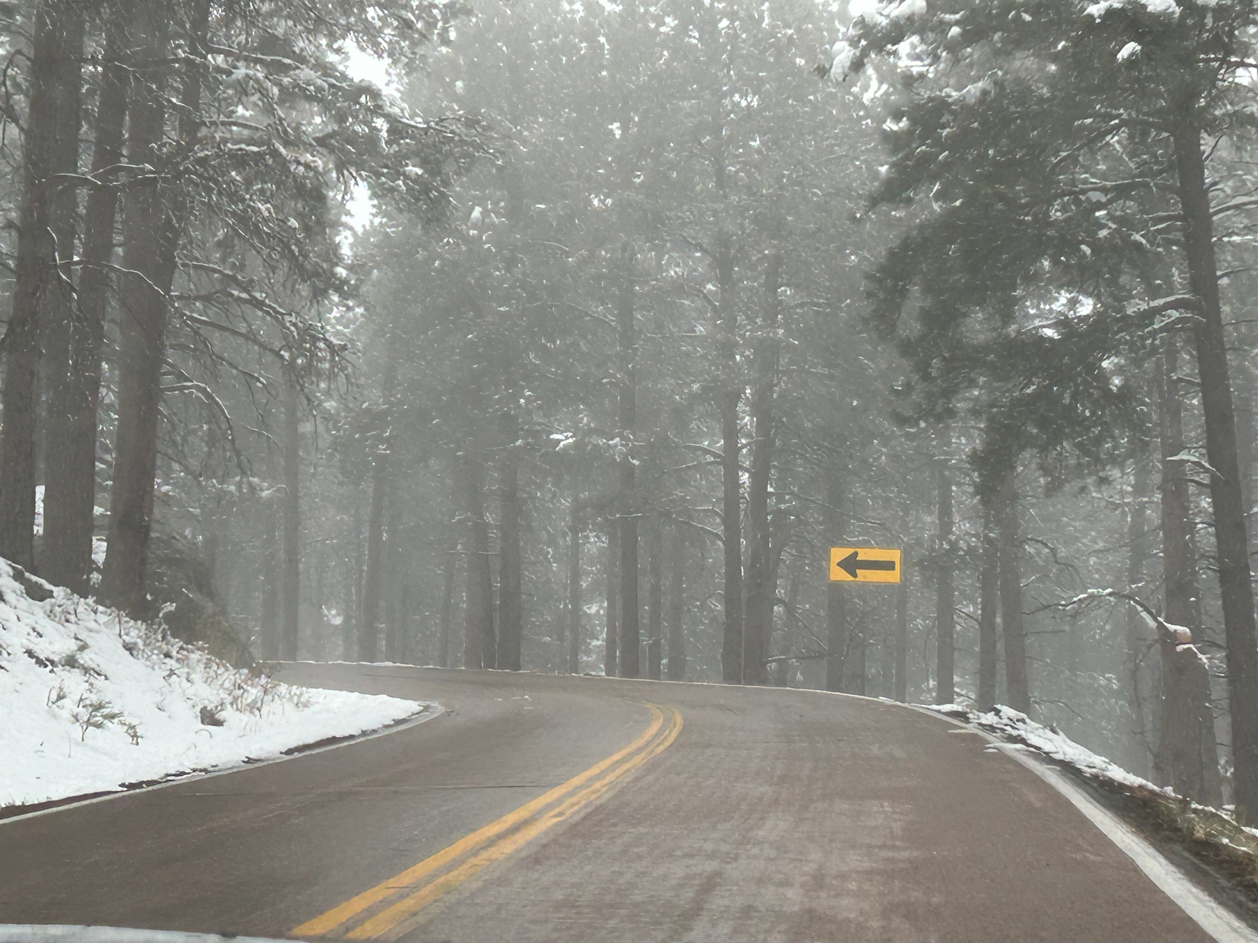
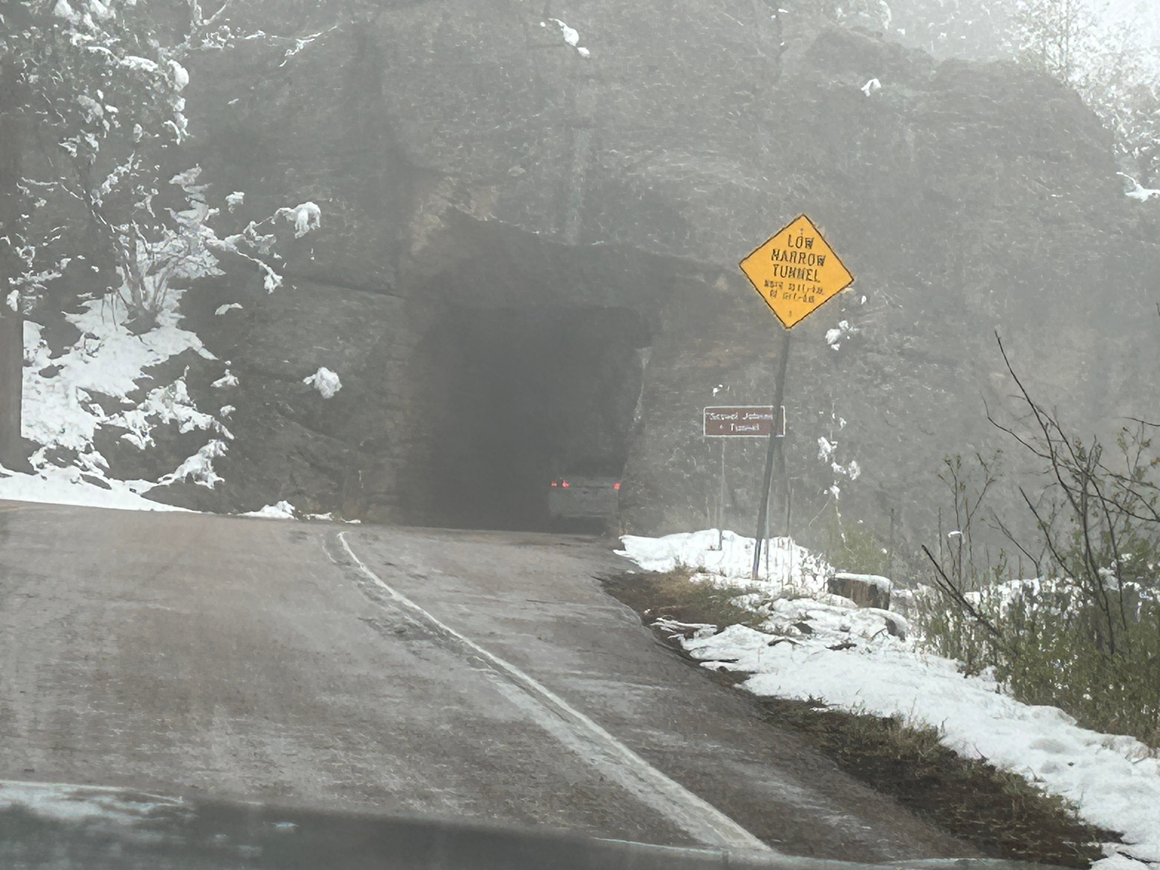
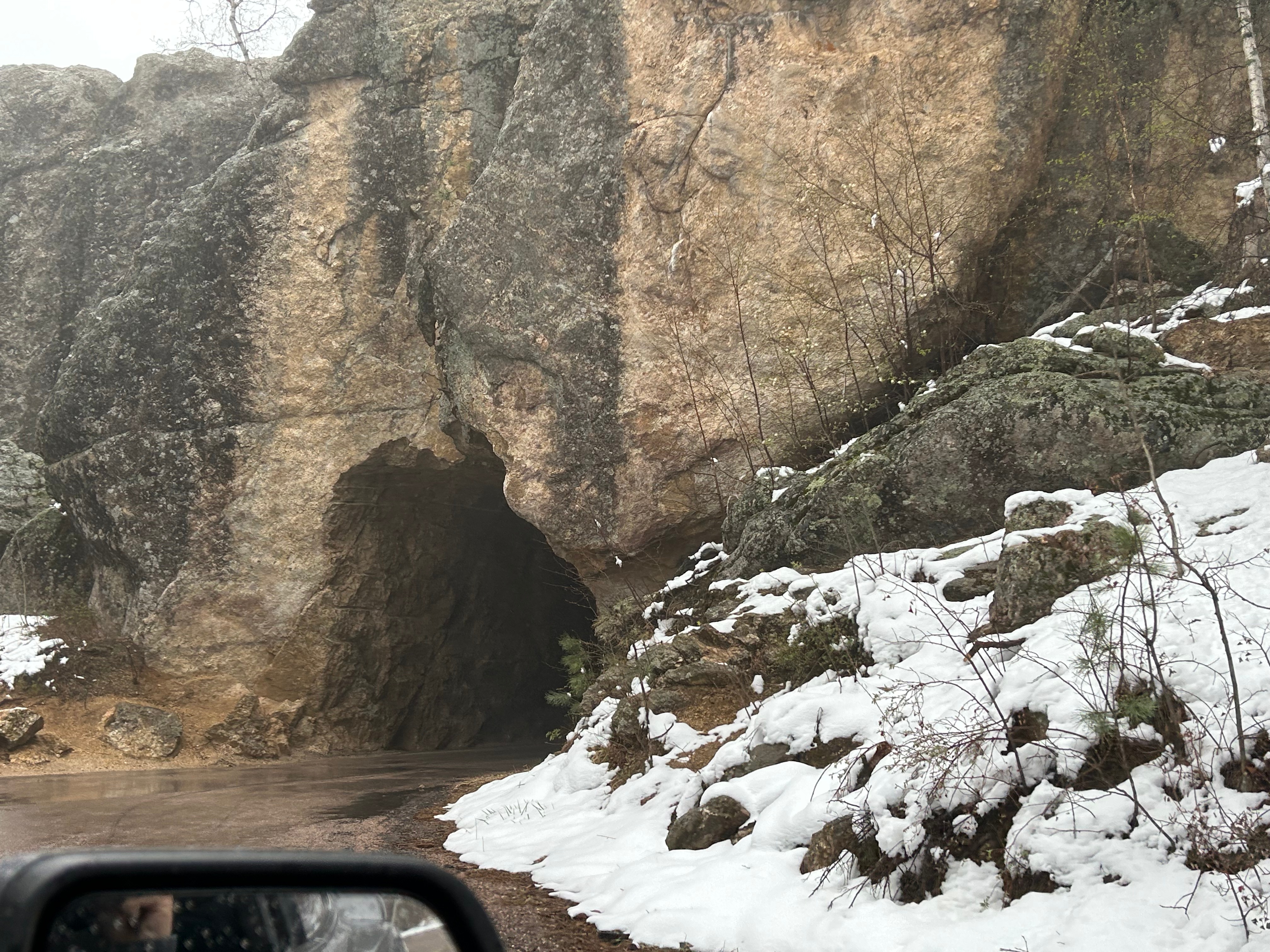
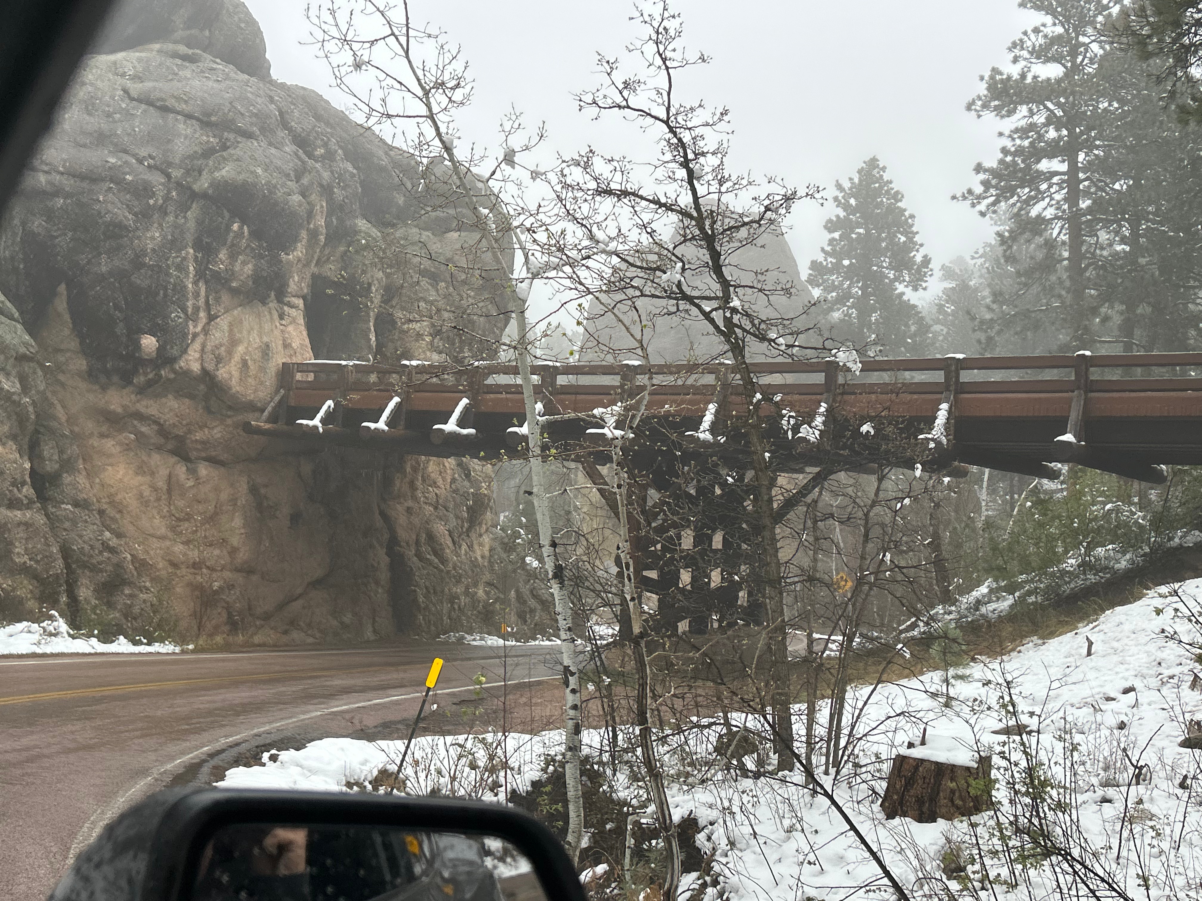
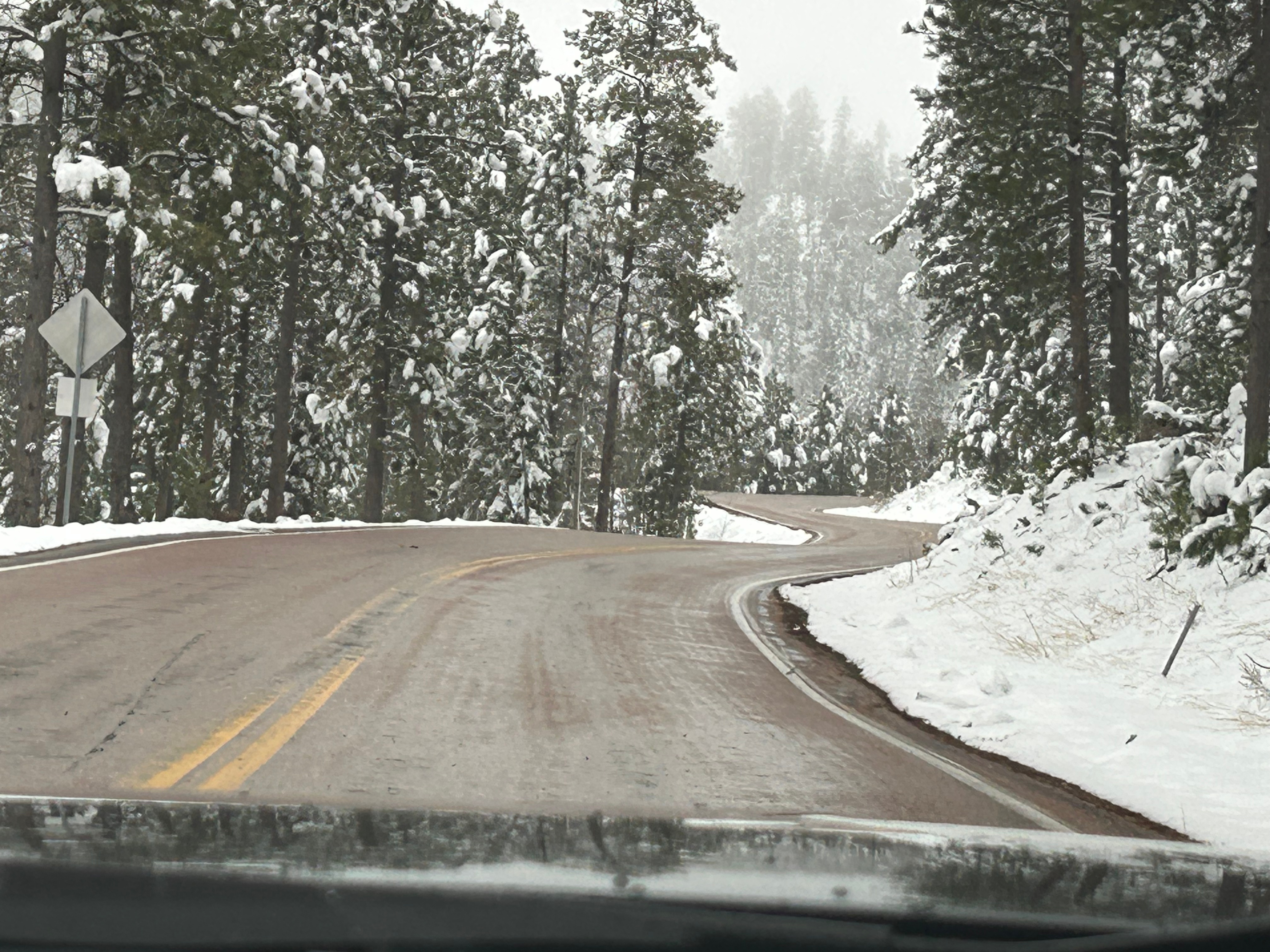
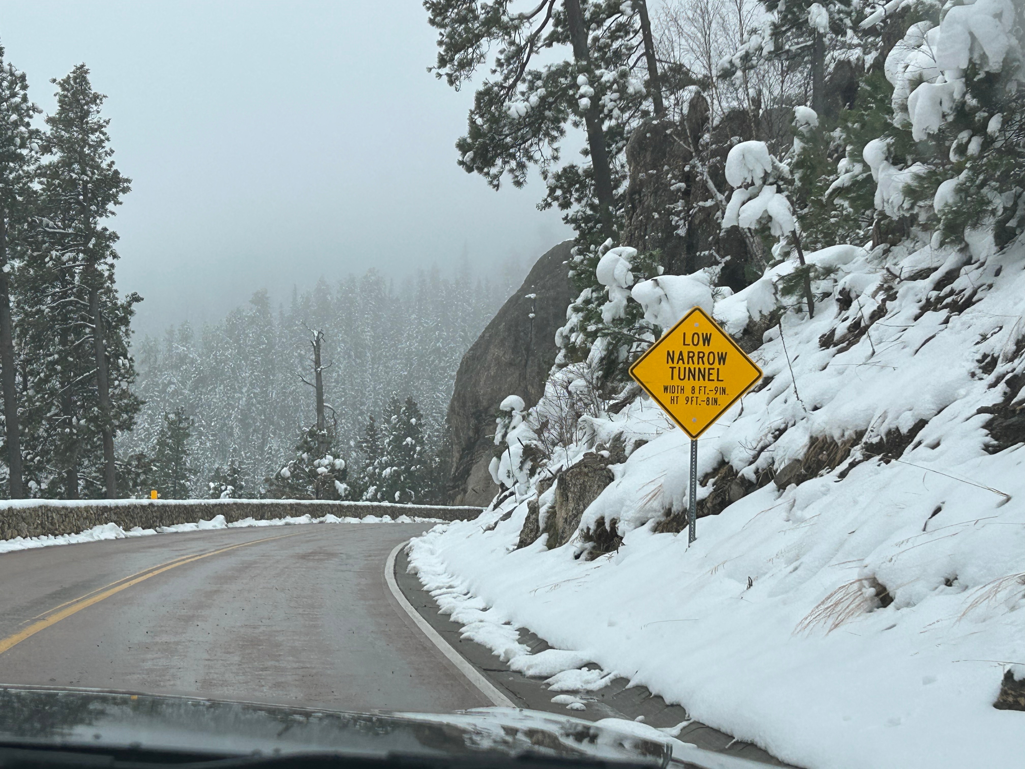
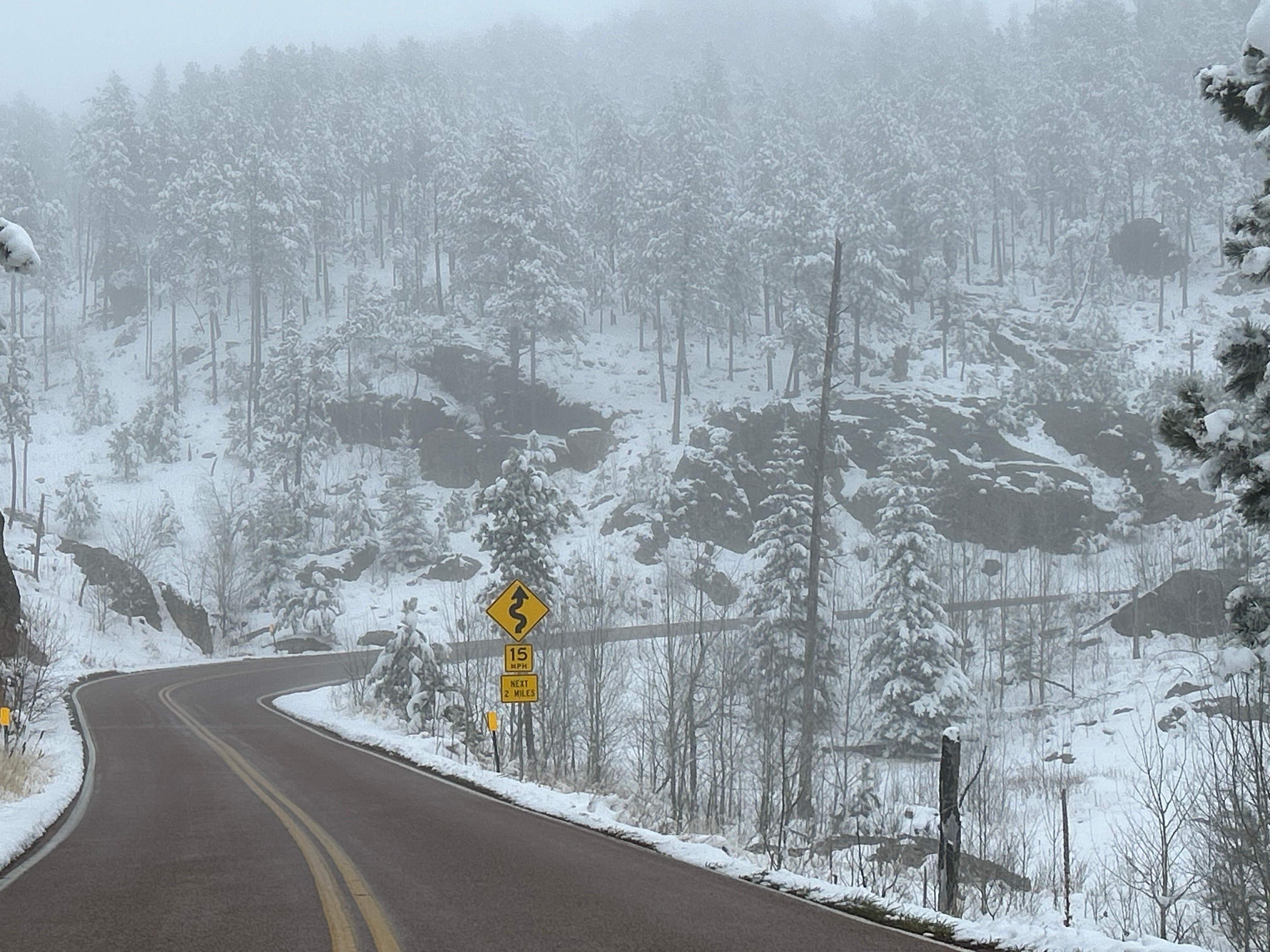
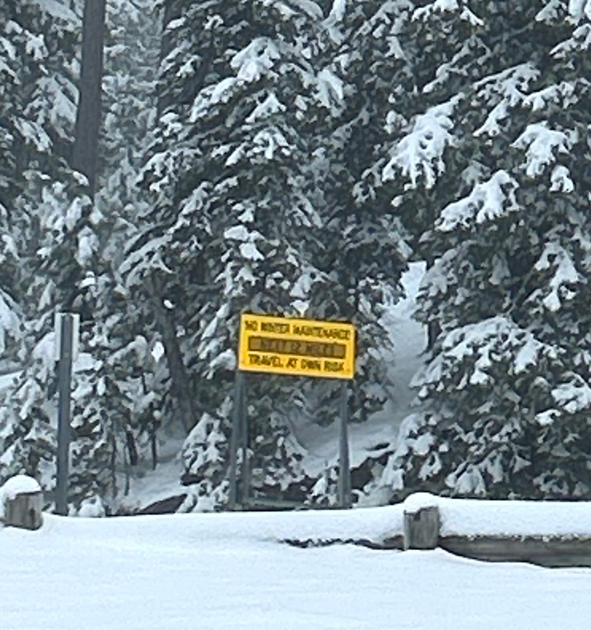
Next up was the second road we wanted to experience…Needles Highway. This 14-mile scenic drive is known for 1000 foot granite spires, tight hairpin turns, and an even narrower tunnel than on the Iron Mountain Road. We started on this road despite the heavy snow around us because the roads looked similar to the prior roads (wet but not slick). We went past a beautiful wintry lake, through the Needles Eye tunnel (9’8″ tall by 8’9″ wide), and drove past jaw-dropping rock formations. As we went up, the temps dropped and it started lightly snowing. Thom was pondering turning back when we passed a sign that said “No Winter Maintenance–Travel at Your own Risk”. That pretty much settled it, and by the time we could find a pull-off (to turn around in), the roads were noticeably slick. Seemed like it was time to go check into the hotel and watch the snow fall from a safe, warm spot.
We’re back at it, with a trip that ChatGPT called “very aggressive but doable”. (Sounded like a challenge to me!) The igniter for this trip was based around my birthday gift from Thom–two tickets to see Phish at The Sphere in Las Vegas. We briefly talked about flying out there and renting a car to tool around the region, but we really do enjoy the long journeys in our own car, Mara.
Once we decided to drive, it was just a matter of deciding what other highlights to hit along the way there and back. Thom was really eager to drive the Iron Mountain Road in South Dakota, but it’s a little iffy to go that far north in late April. However, the Phish concert was set for a Thursday, so we wouldn’t have time to go that route on the way back. While we held off on making lodging reservations yet, we set our tentative plans.
A month out, we committed to our plan. Lodging choices were limited in the northern stretch of the country, as many places are closed for winter until May. However, the central north and northwest had seen a relatively mild winter and things seemed to be warming up. Just a week before the trip, our planned northern stops in South Dakota and Wyoming had even been as warm as the 70s. But then just days before we left, the weather forecasts changed from mild and dry to cold and snow. Well here we go…
So Friday after work, we jumped in the car and drove all the way to Metropolis IL. I don’t even have to tell you our first stop, do I?
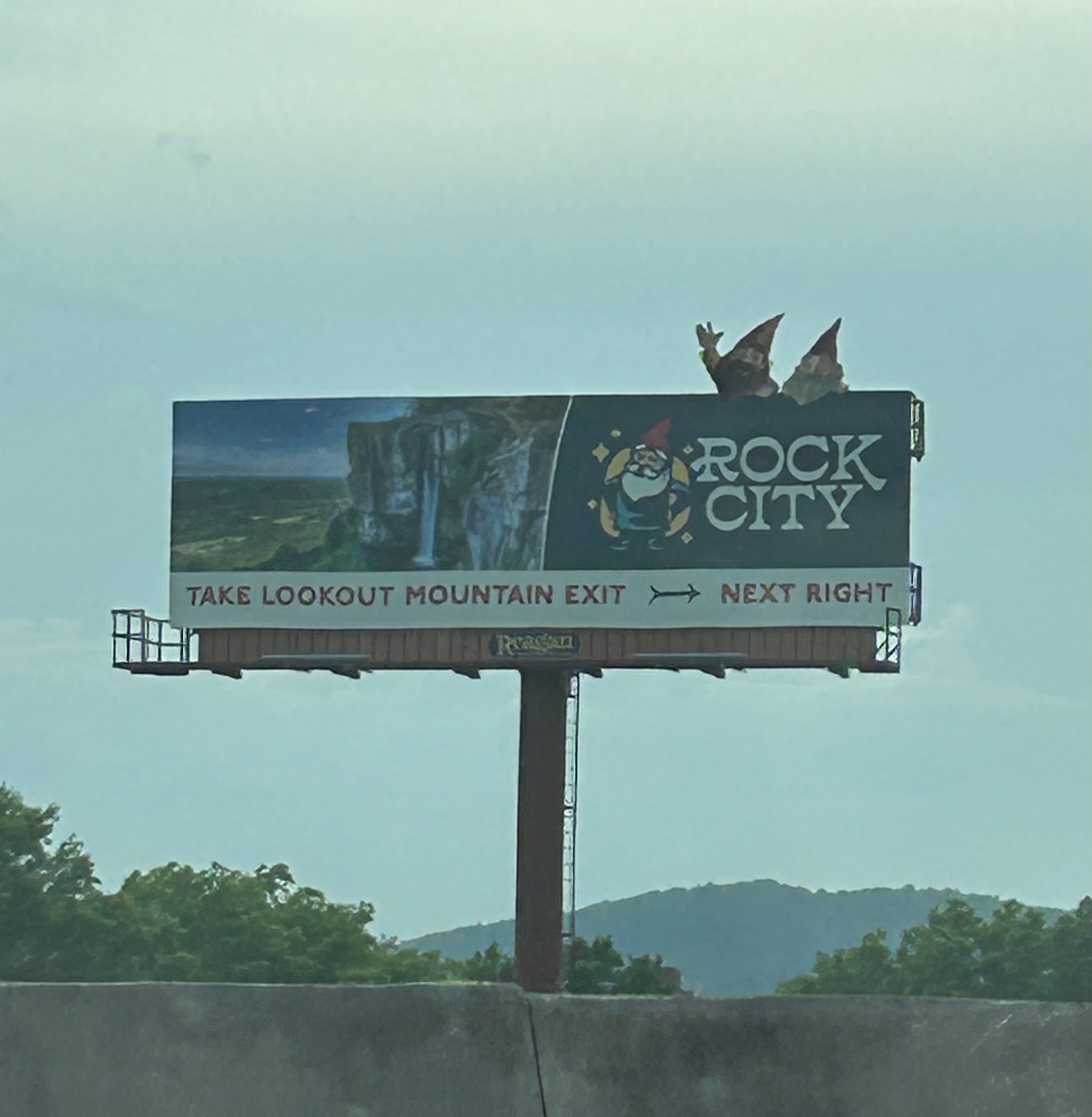
The first leg of the trip started with a route we’ve taking tons of times up through Tennessee (since one of my brothers lives near Nashville). We didn’t see any of the classic See Rock City birdhouses, but we did see one billboard for this classic tourist trap featuring their gnomes instead of the old classic logo. Not sure how I feel about the advertising change, despite my love for gnomes. We enjoyed the drive along the Tennessee River going out of Chattanooga and the Monteagle crossing; both are such beautiful landmarks.
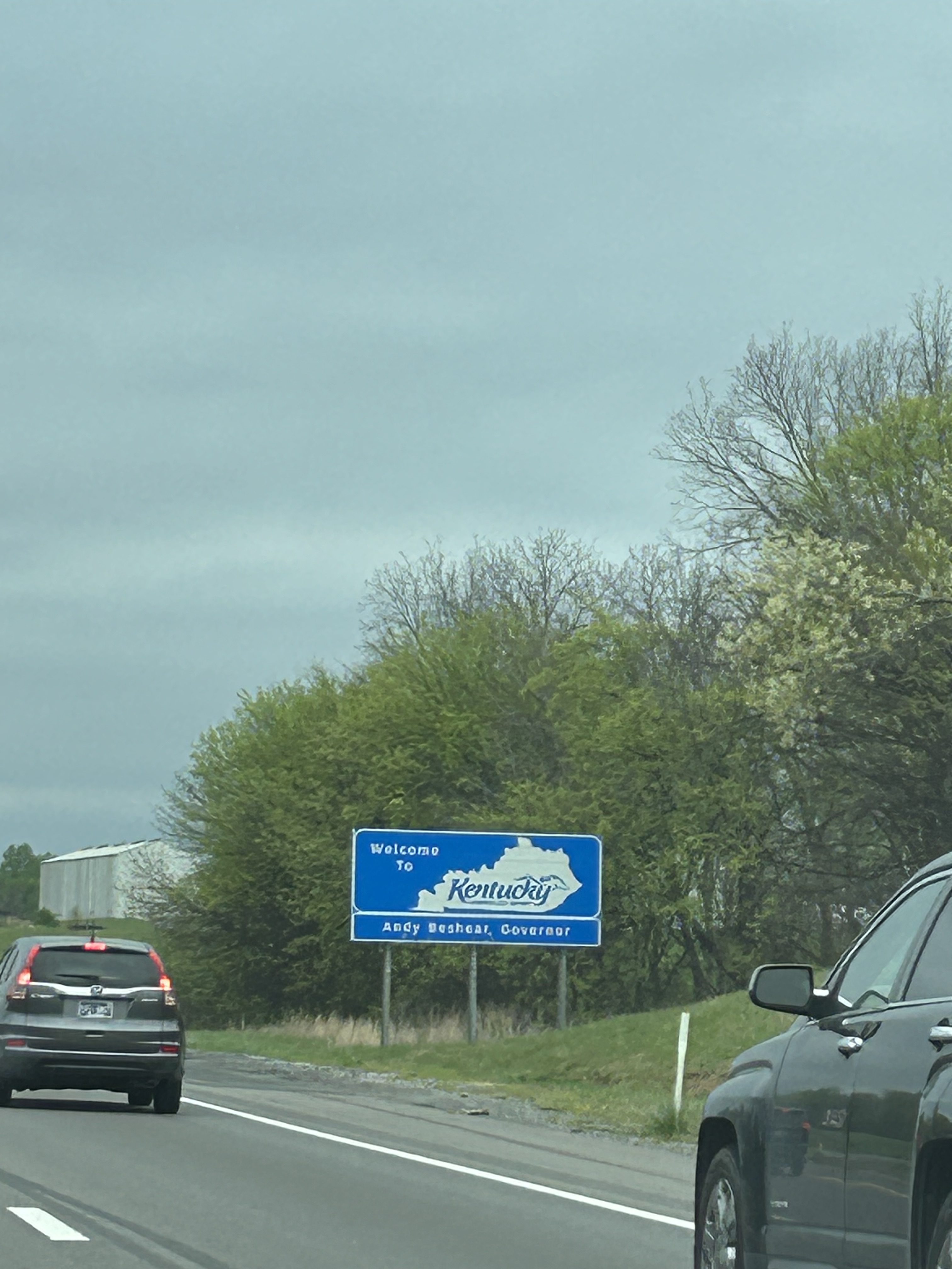
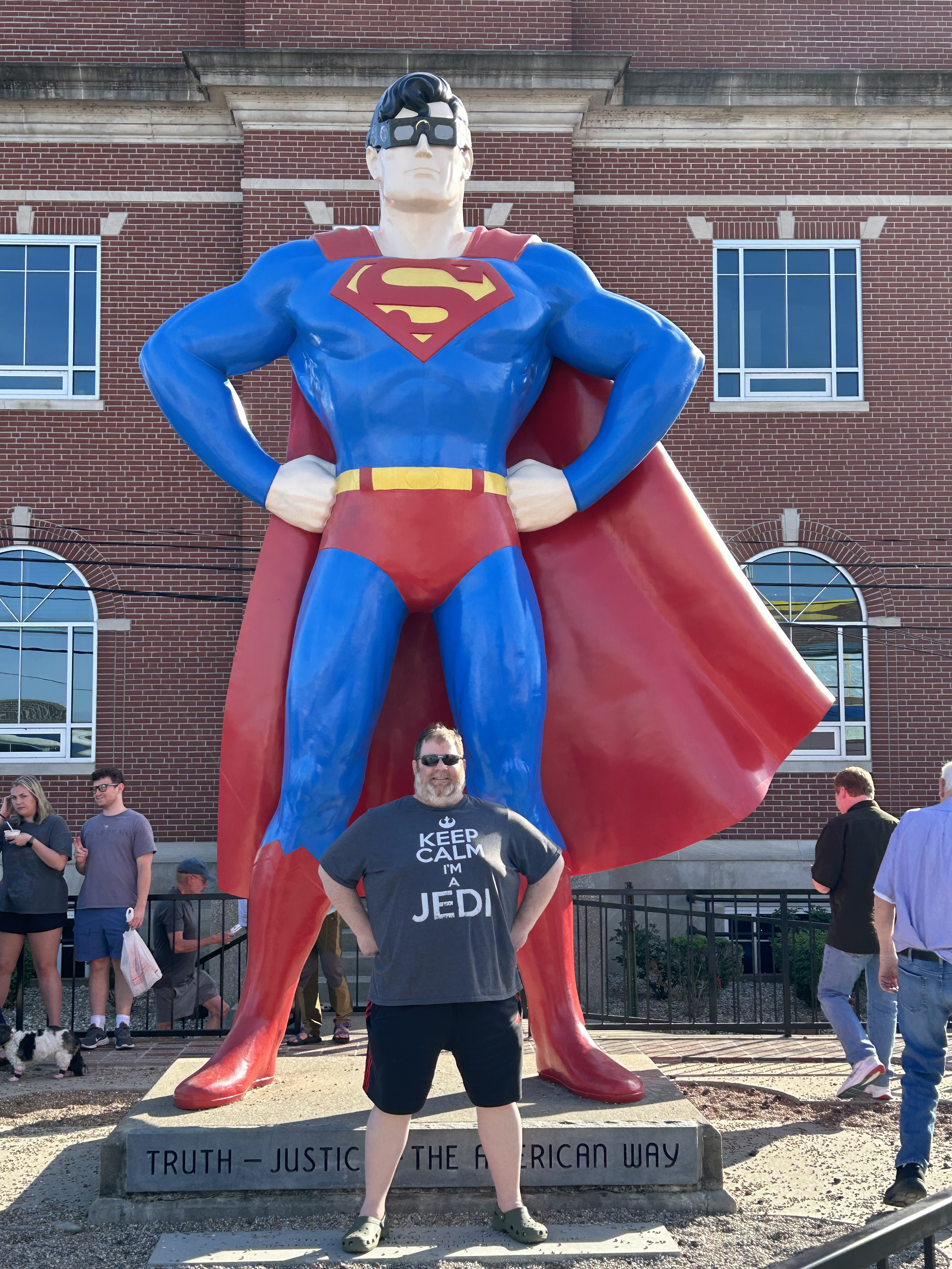
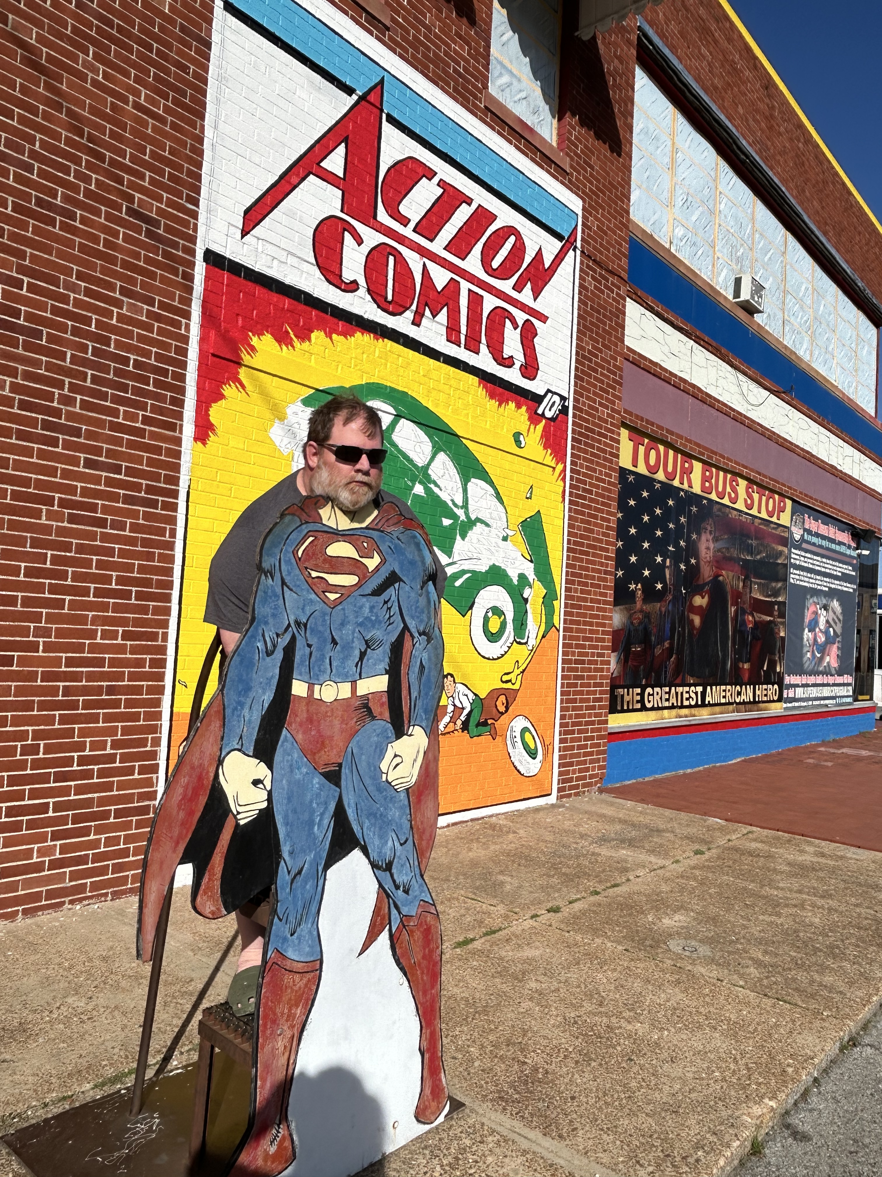
As we headed into Central time and towards Nashville, we were also heading towards severe weather. Thankfully, the storms diminished as we approached and even gave us a little bit of sunset. The drive through Kentucky was mostly uneventful, although a bit foggy here and there and one bout with construction. After traversing four states, we arrived in Superman’s hometown.
Saturday morning we got moving early for our longest plan travel day of the trip. We had hotel breakfast with all the ladies in town for the national quilting convention; it was hard to find a hotel within 50 miles of this Paducah KY convention…it must be quite the event. We didn’t stop to see Superman since we saw him in Metropolis just a few years ago during the solar eclipse. (You should check out that blog to see the giant eclipse glasses Superman was wearing. Such silliness!) Our first stop was to fill up the gas tank and our water cups, which wouldn’t normally be note-worthy except the nearby gas station had all sorts of odd statues around, including what we had to call “Little Foot”.
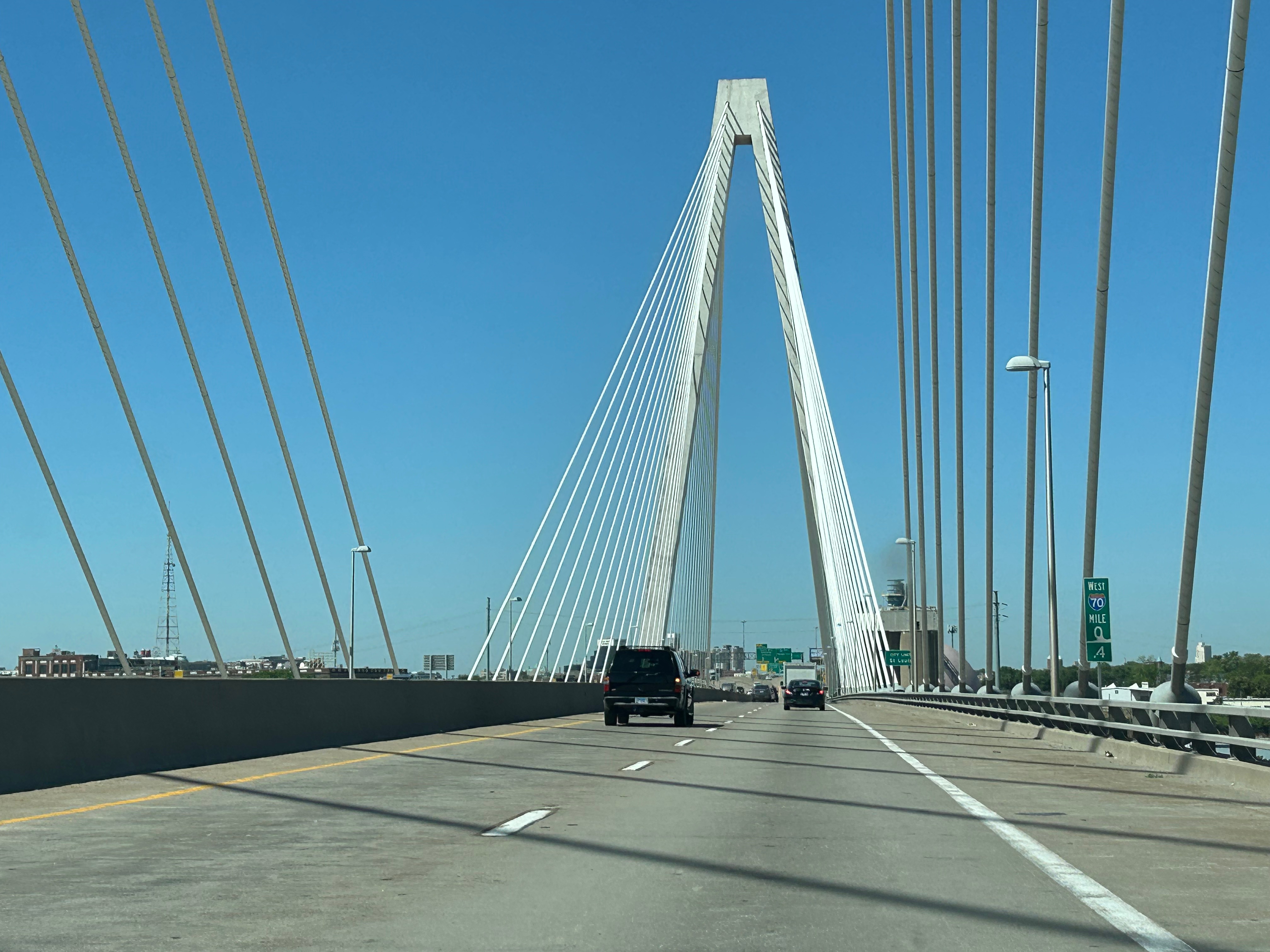
We started the day with weather very similar to home–mostly sunny and low 80s. We filled the drive time with one of our favorite podcasts, “60 Songs that Explain the 90s”, as or with an audiobook, “Dungeon Crawler Carl”. (If we weren’t chatting, of course.) Illinois featured an array of farms, mostly soybean and corn. Missouri transitioned from farms to rolling hills, with the periodic cool bridge or interesting building. We finally made a stop for lunch to get some Kansas City-Style BBQ (or so we were told, but we weren’t in Kansas City). If you find yourself in Columbia MO, stop at Como–it was an unassuming place in a gas station complex but had great food. *Look really closely and you can see our picture of the Arch this time in St. Louis.
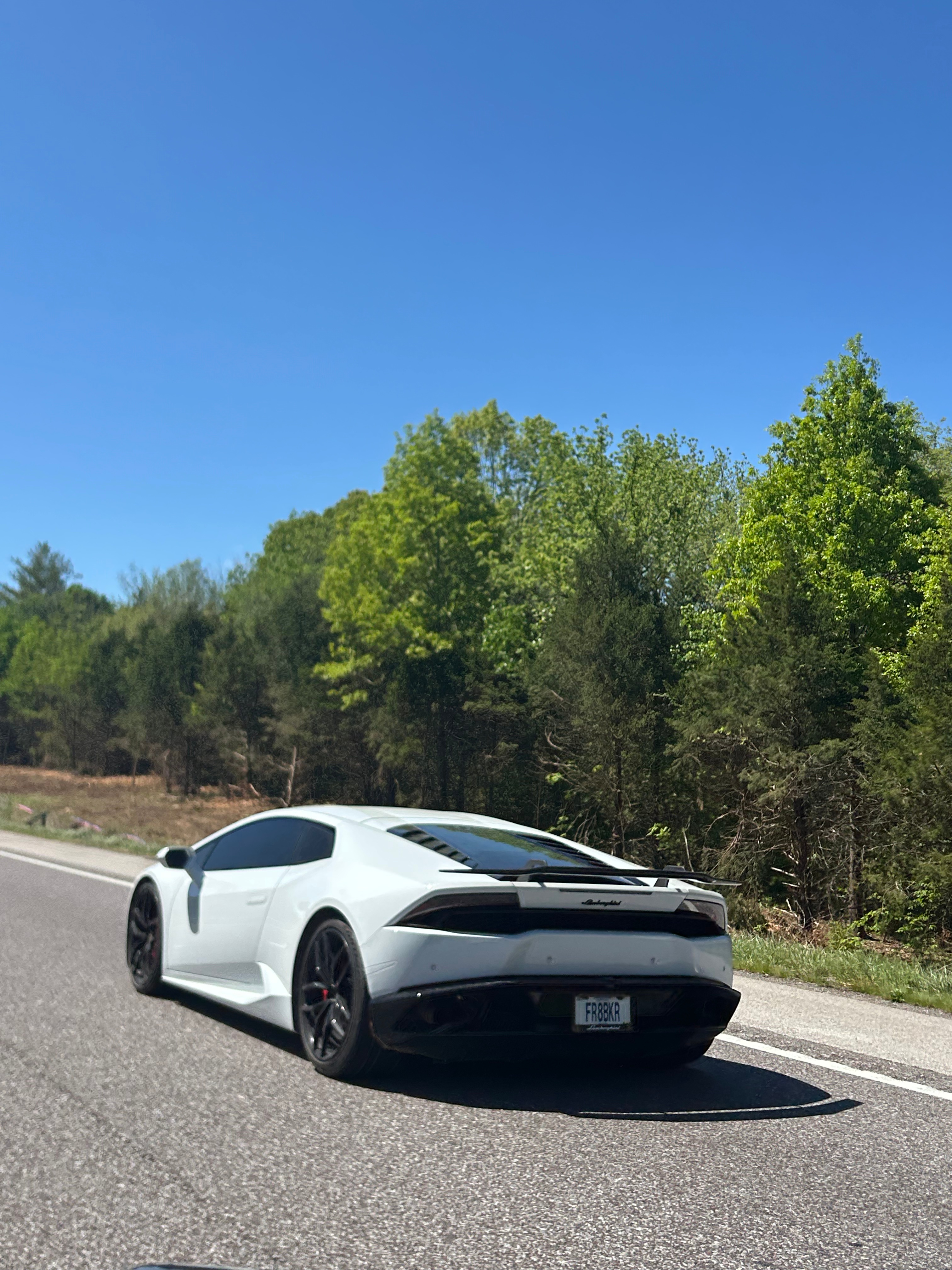
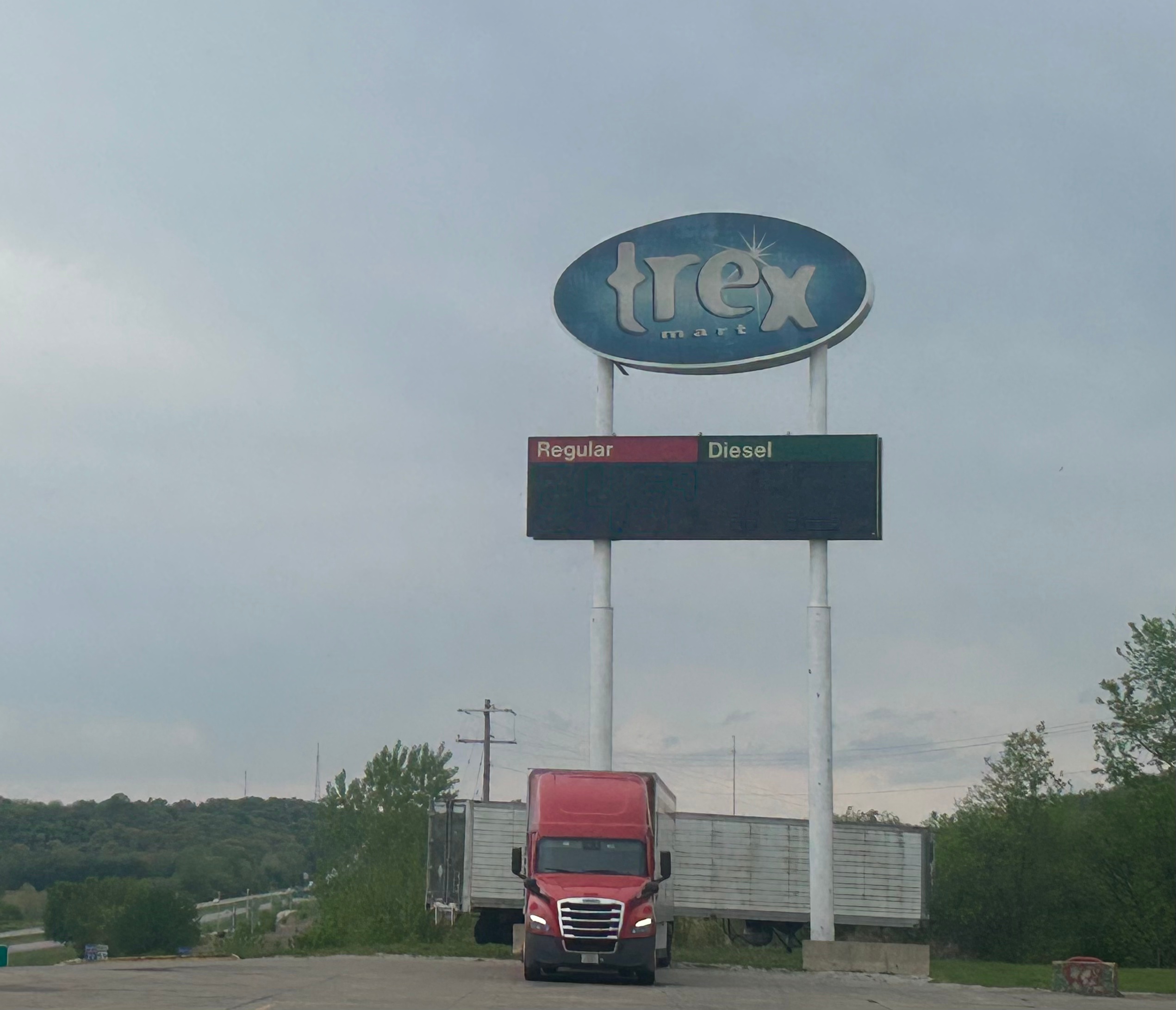
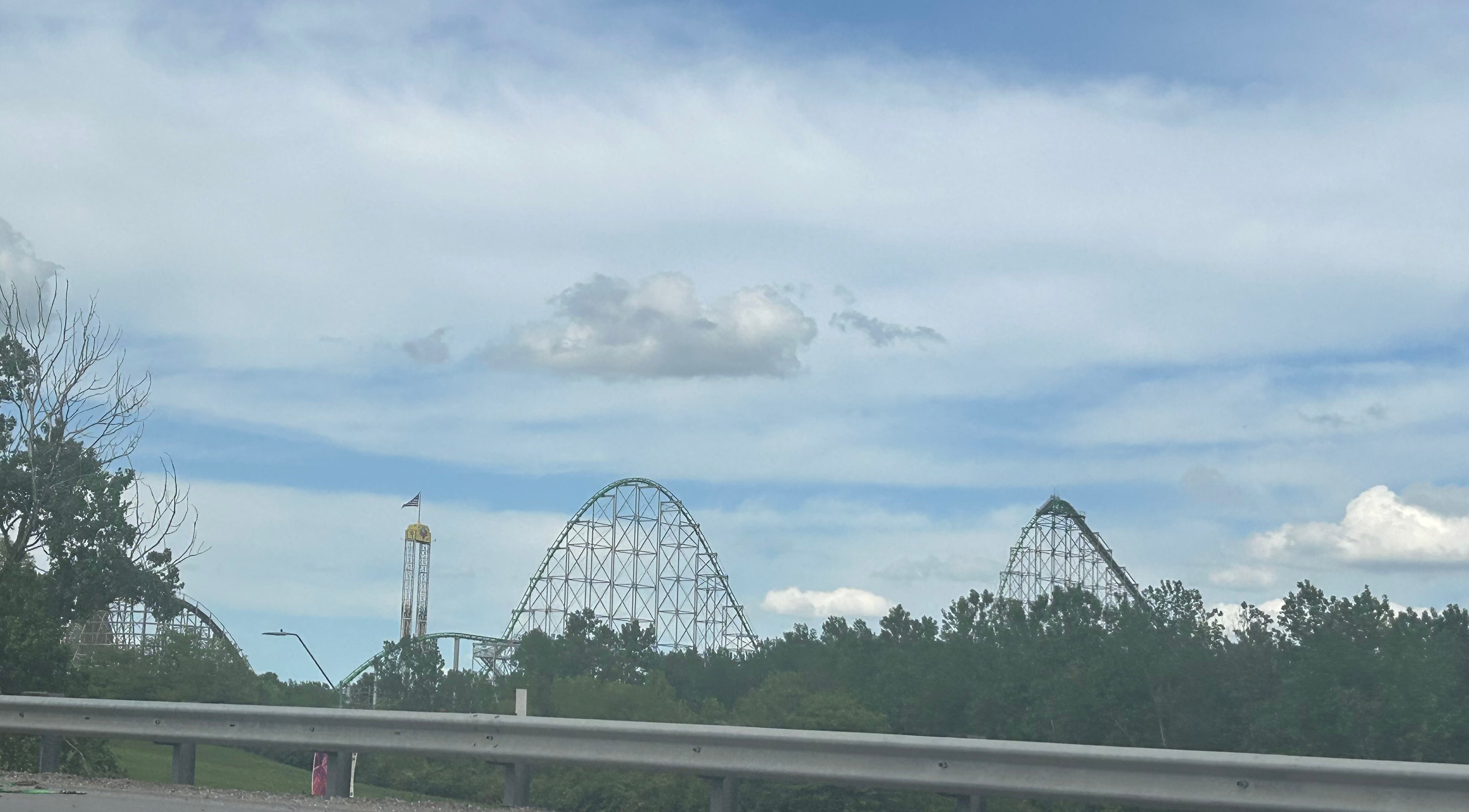
The afternoon brought forth all sorts of odd adventures. We had a Lamborghini pull up and off we went for a spirited stretch of drive together (certainly following the speed limit). After driving into Kansas briefly and then back into Missouri, we stopped for gas at the fun-sounding “trex Mart”. There were no T-Rexes, and no dinosaurs for that matter. Disappointing. I marveled at the old tornado sirens instead. There was an overwhelming smell of gas, and either the ground was wet or there had been a spill (or both?). I headed towards the bathroom only to have a worker tell me the bathrooms were all closed. We were chatting briefly when I realized Thom was very urgently calling my name and telling me we had to go. That seemed awfully impatient until I got in the car, and he explained that a car pulled up next to us with a guy smoking and flicking ashes. We needed to go before the crazy man caused a gas-fueled explosion. Not far from there, we drove past a theme park that didn’t seem close to any big towns (Worlds of Fun). The midwest surely keeps you on your toes with unusual finds.
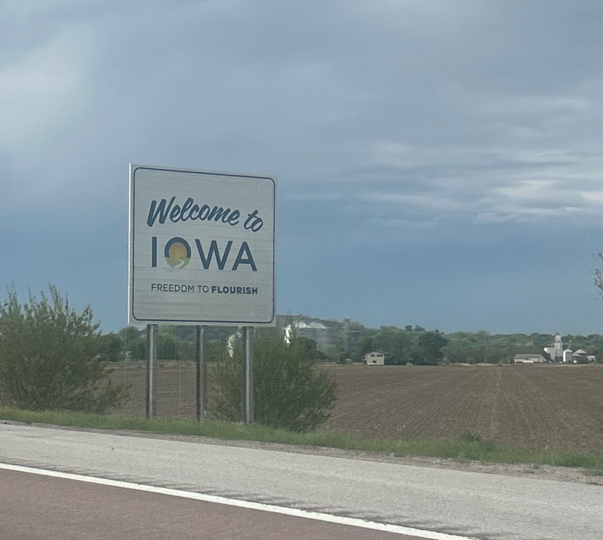
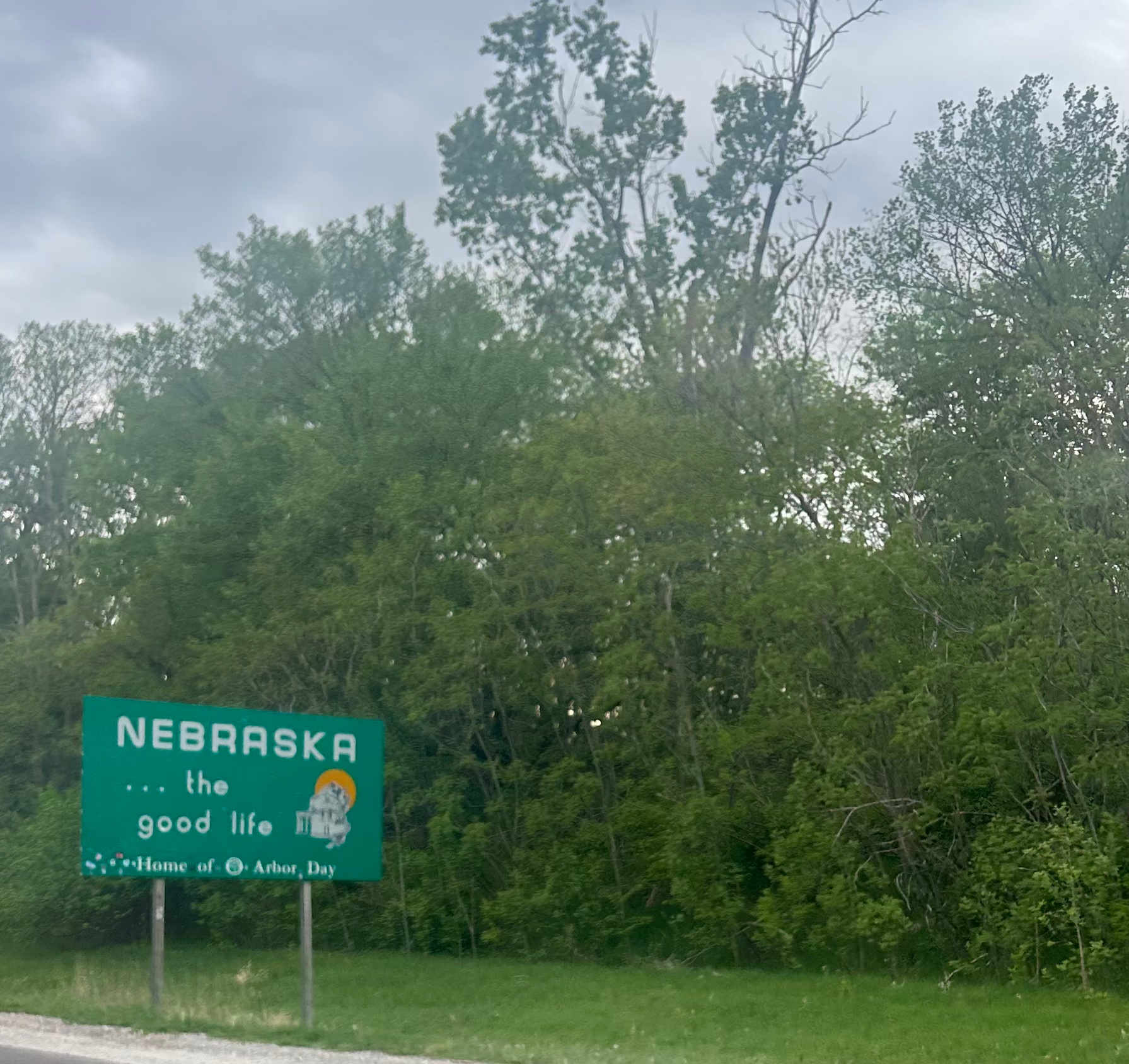
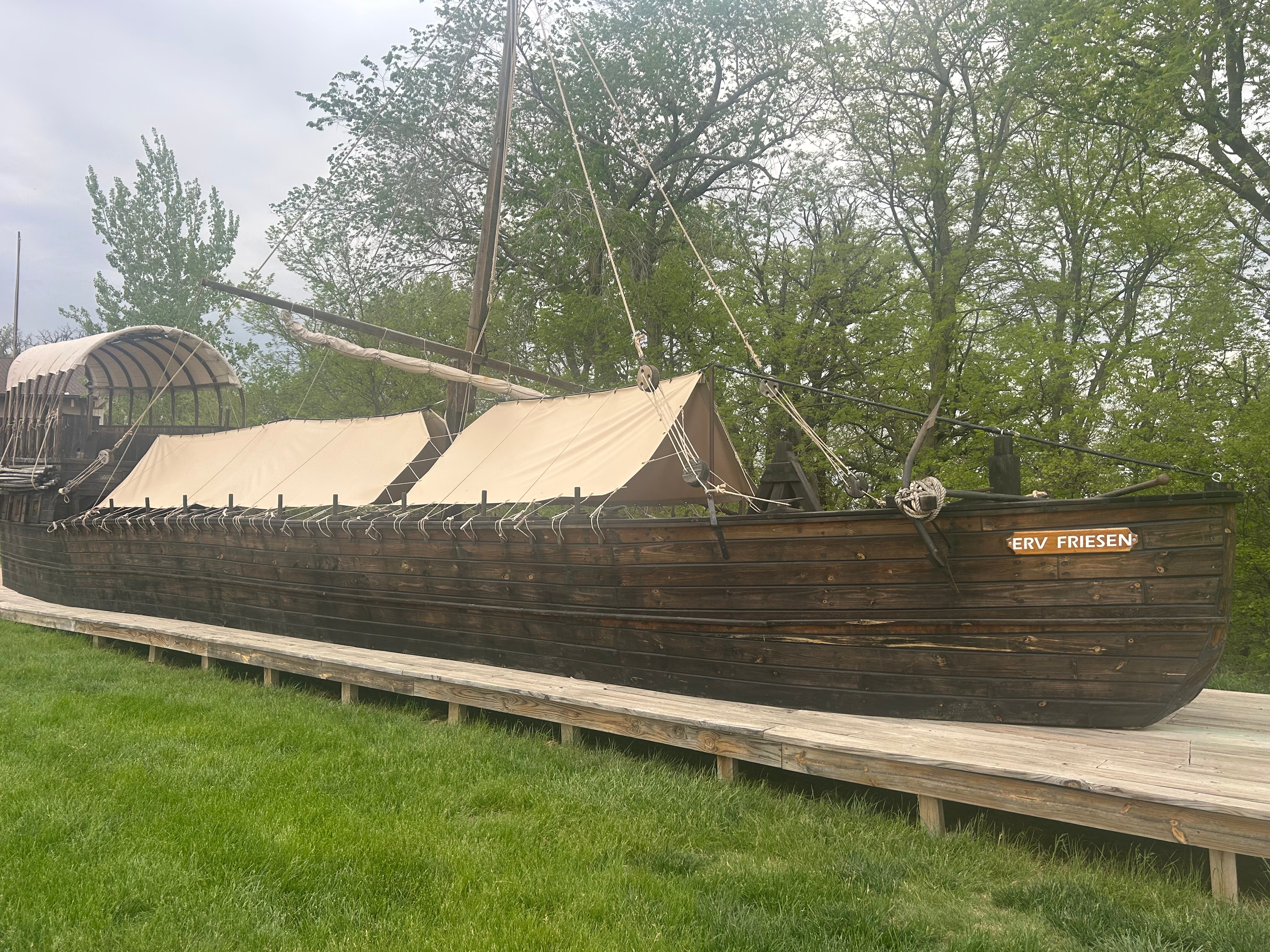
Safely back on the route, we said goodbye to Missouri and technically went through Iowa (barely long enough to play the whole Slipknot song, “Iowa”). Soon after, we entered Nebraska. Sadly, it was late enough that the Lewis & Clark Visitor Center was already closed. But hey, we got a picture of the replica boat.
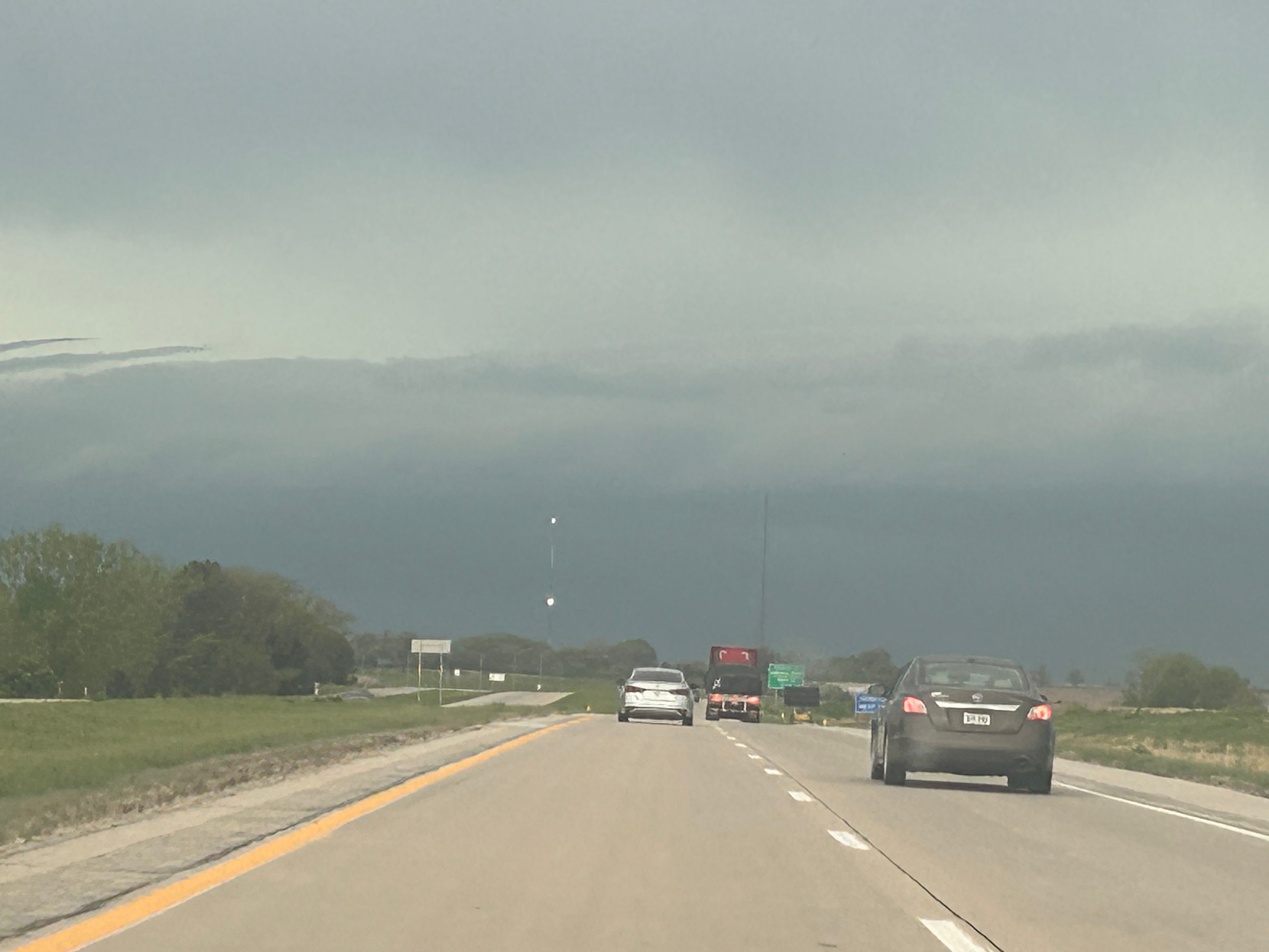
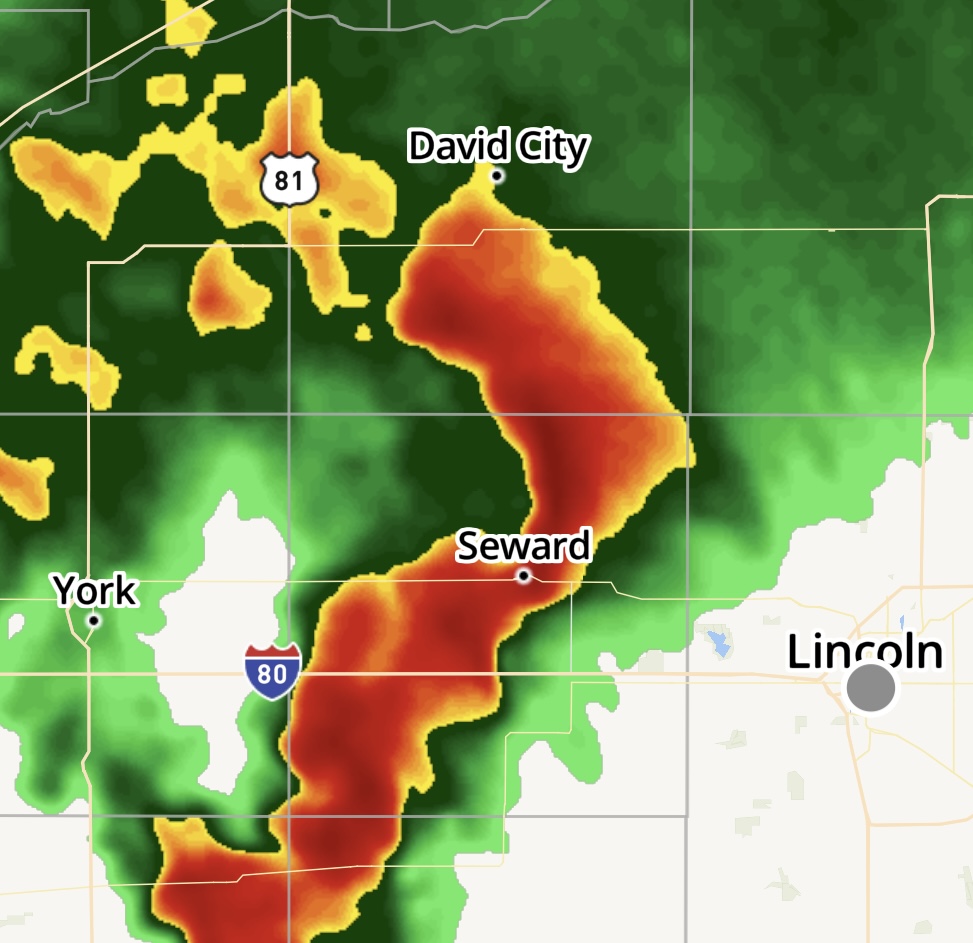
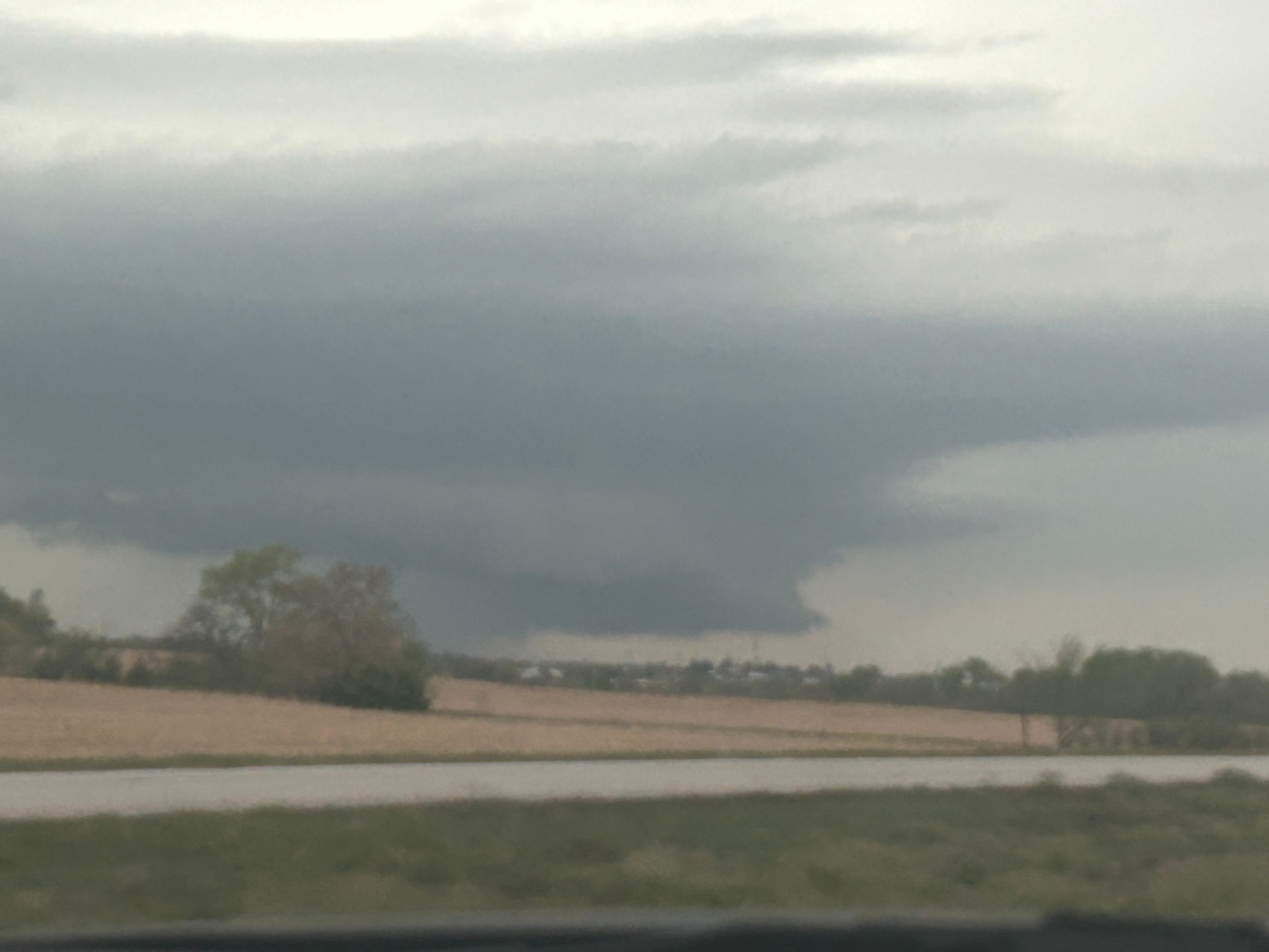
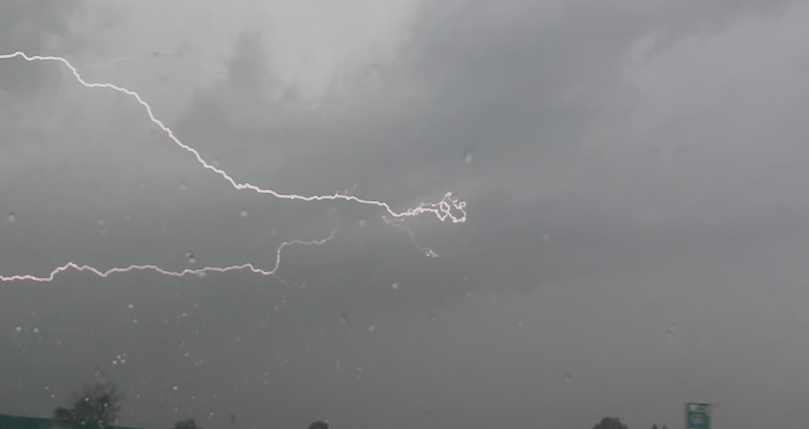
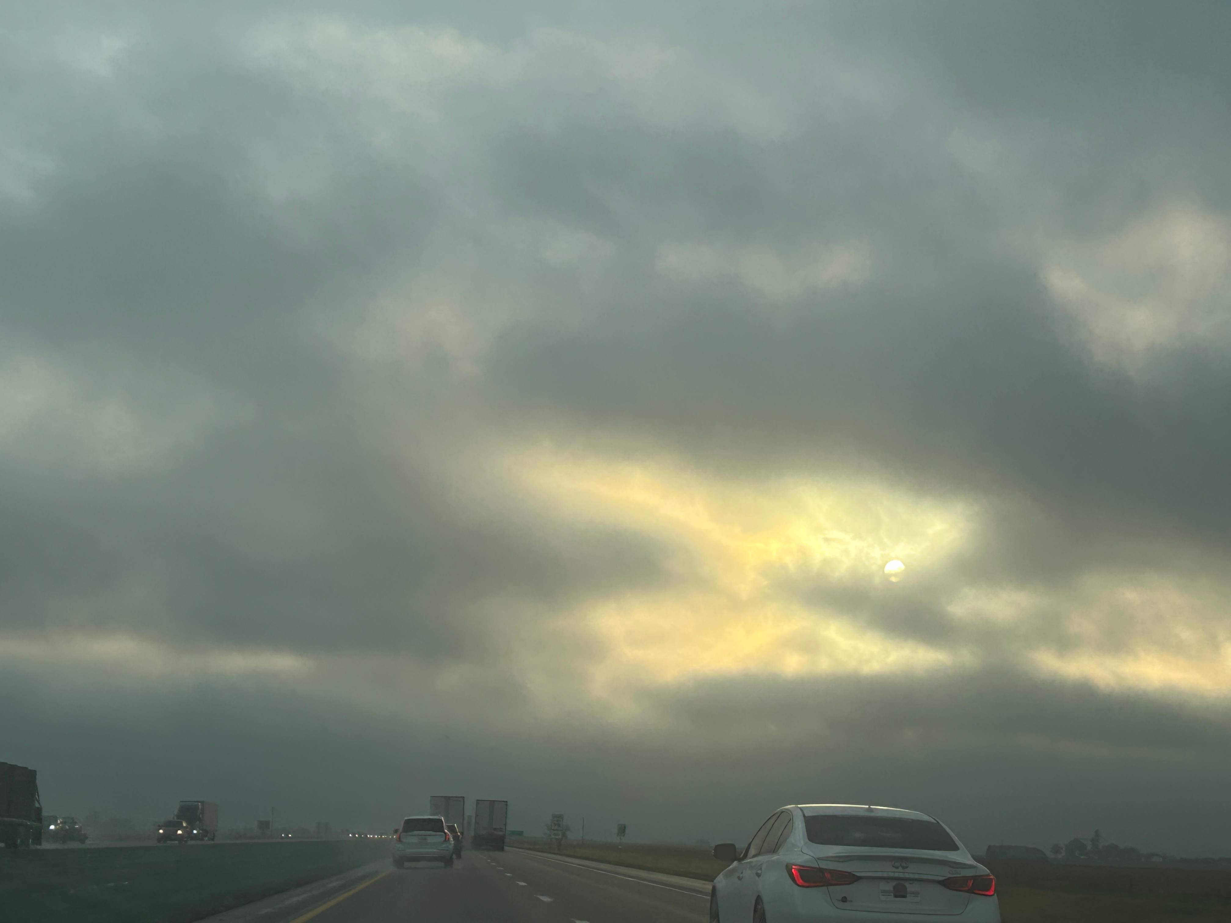
As we approached Lincoln, there was a severe storm moving towards us. Tornado warnings were issued in the area we were heading straight towards. There wasn’t really anywhere else to go, so we pushed onward, hoping for the storm’s severity to lessen. Thankfully, the storm’s energy was short-lived and downgraded to a severe thunderstorm. We experienced pouring rain and lots of lighting, eventually tapering off to “just” heavy rain for ahile. The clouds finally diminished some so that we got the barest glimpse of the sun. (Below, those are not mountains in the distance. That’s all lower level clouds!)
Screenshot
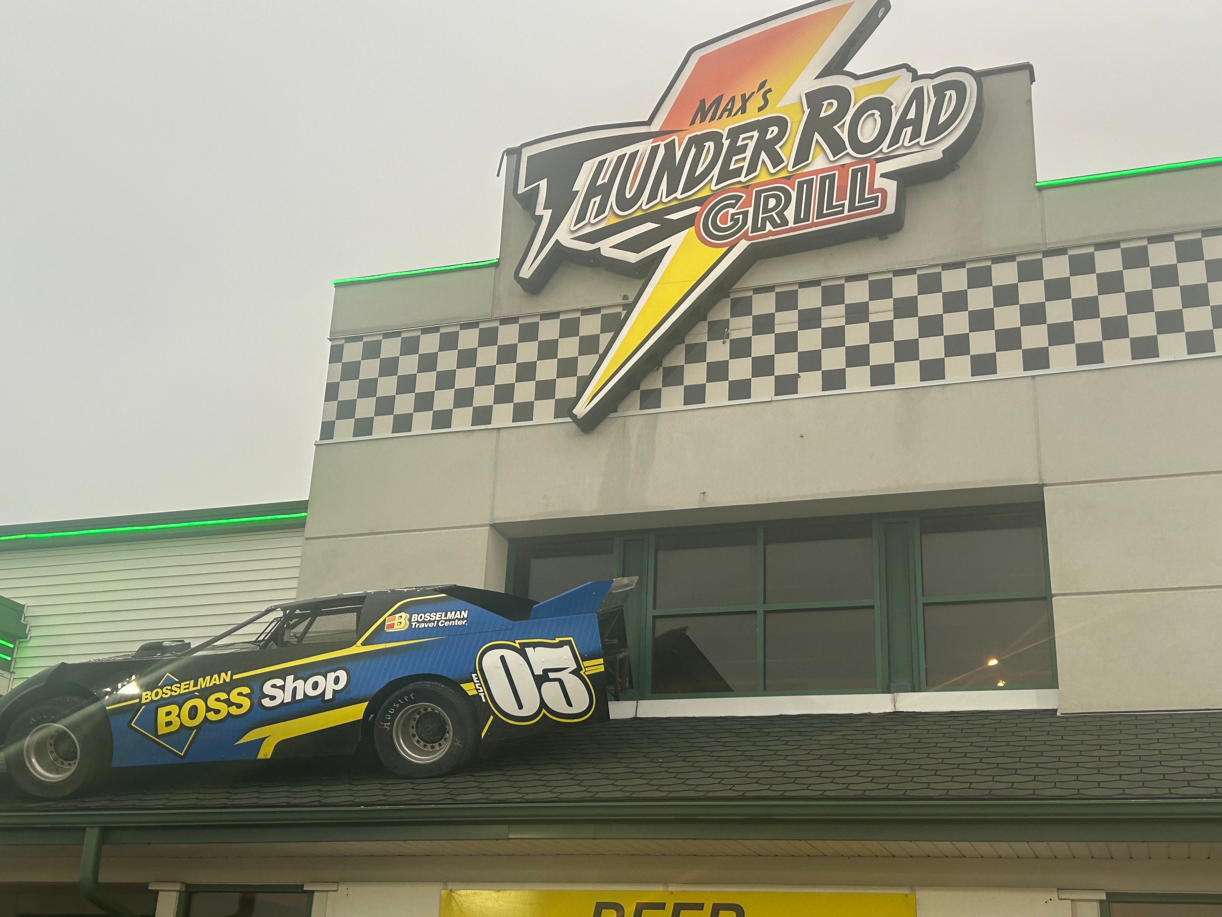
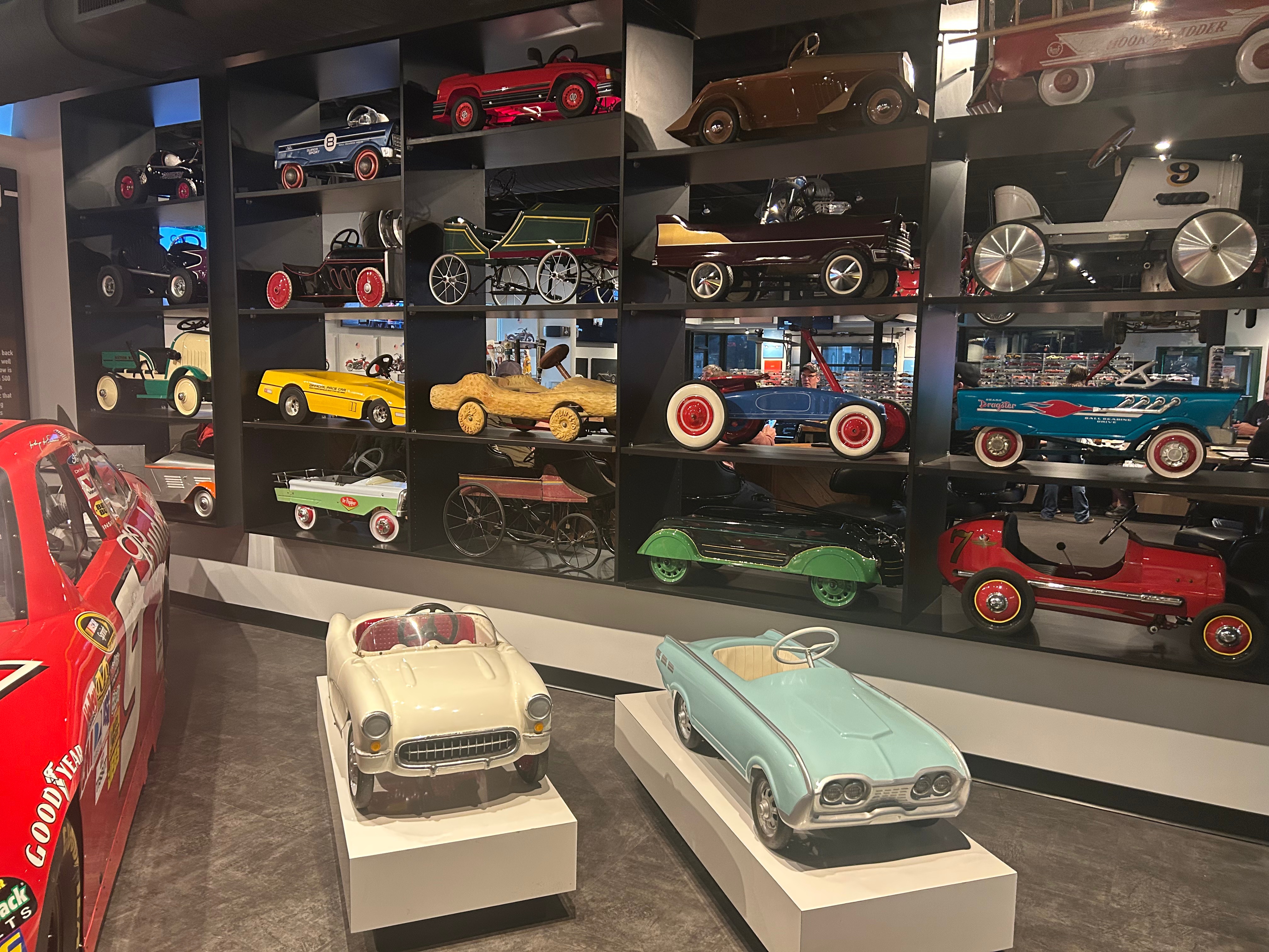
After surviving the storm, we finally stopped for dinner in Grand Island (which seems like a funny town name in the middle of the country). We were nearly literally blown away when we stepped out of the car. Although it was only two hours since our last stop, the temperature had dropped from 75 to 52…and was crazy windy! So, we blew into a unique dinner place–Max’s Thunder Road Grill. It wasn’t just a car-themed restaurant, it was also a car-enthusiast museum. They had taken notes from Hard Rock Cafe on how to deck a place out–from the uniformly placed pictures to the un-randomly set antiques/memorabilia and all under carefully chosen lighting. Had a surprisingly good dinner and coffee, and then I found my dream car. Hahaha, we’re gonna need better paying jobs if I’m gonna buy that one!
The drive home was dark. It’s too bad it was cloudy, because I bet this place has great dark skies. Of course, I always have my stars in Mara (since he put in that awesome starlight liner). This was a super long day over five states, with 12 hours drive time but about 15 hours actual time. Maybe we found where our actual daily drive limit is. Like, we were so tired that I swear I saw three bridges in a row say Beaver Creek. And then Thom was super spooked by an unexpected large shadow of a bridge in the middle of nowhere. It turns out, that this was The Great Platte River Road Archway Monument. Probably would be pretty interesting if we had come through during the day. But alas, it was very much night. We finally made it to the hotel and fell right in bed.
Hemingway said, “The world breaks everyone and afterward many are strong at the broken places.” I could certainly feel that first part after losing my mama. Life had unraveled for me during her illness, as every day for a few month’s felt like a rollercoaster. She would be good for a short while, insisting on taking care of everyone else despite not feeling well. Then she would end up in the hospital, weak but hopeful. Mama was the next strongest person I knew (only topped by her mother, who passed too soon as well). So suffice it to say, when she rapidly declined in October, I wasn’t prepared for her passing. My whole world felt like it shattered when I witnessed her last breath.
I know the depth of my grief was hard on everyone around me, especially Thom. Bless him–he did everything he could think of to help. If I needed to be alone and write, he let me be. If I had a rough day, he’d whisk me off to watch a sunset. Eventually, he pushed for us to get away for a week. We had originally planned to take a road trip to Key West in the fall of 2024, but it was pushed back several times because of my mom’s failing health. Mama was gone and spring was on the way, so there was no time like the present. The trip was a chance to get away and process my loss, but also an opportunity to celebrate our 30th anniversary a few months early. Thom was gently reminding me that the best way to get out of the darkness is to look towards the light.
Striking out early on a Saturday morning, we headed towards Malabar FL. There wasn’t a lot of excitement on this drive, unless you count being excited that we made it through Atlanta with no traffic delays. Of course, we had obligatory stops at Buc-ee’s and (later on) at the Florida Welcome Center. There’s just something magical about seeing the palm trees, getting free juice, and grabbing an enticing array of brochures you definitely don’t need. And, hey–this time we got a rare Florida map that still notates the Gulf of Mexico! We had a good lunch in St. Augustine at Taps Bar & Grill…then, you guessed it, a stop at Buc-ee’s.
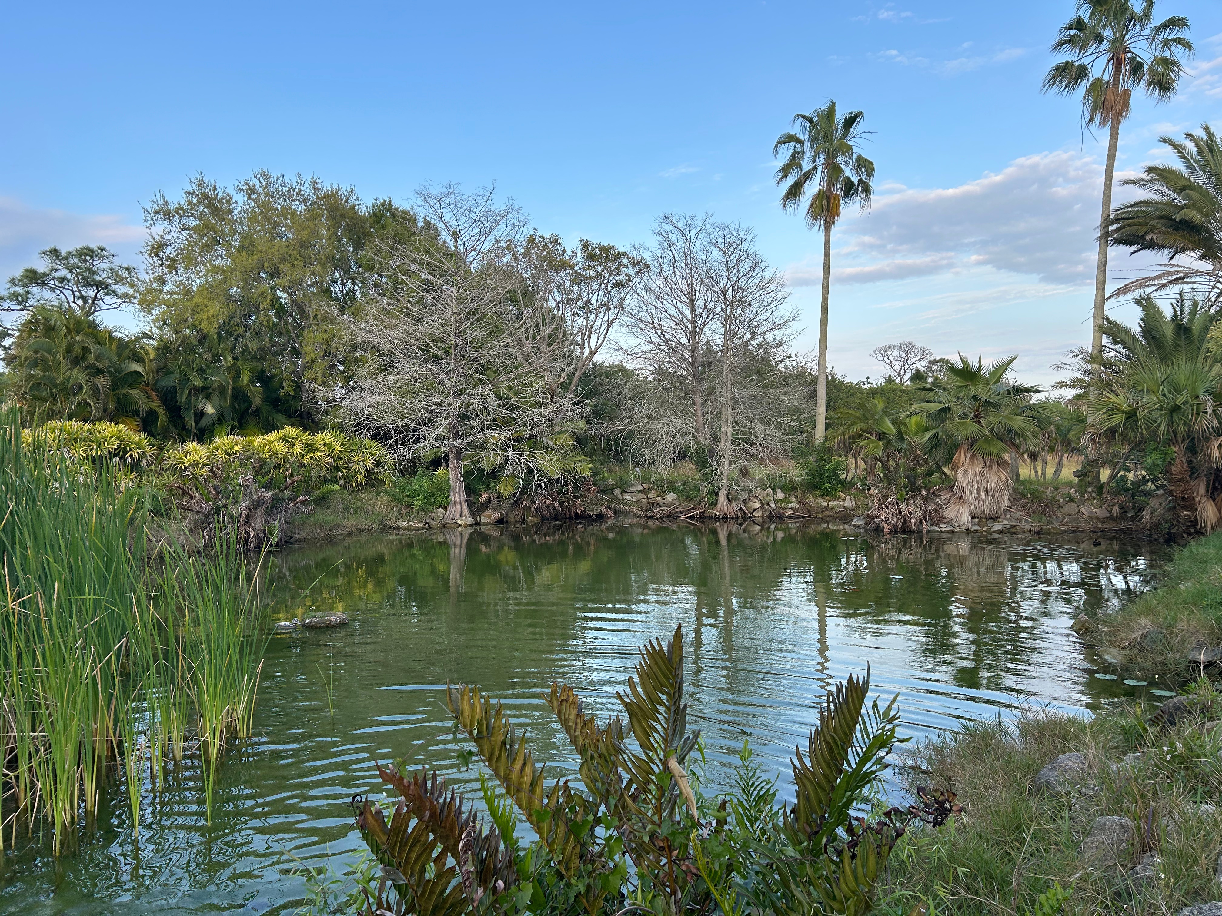
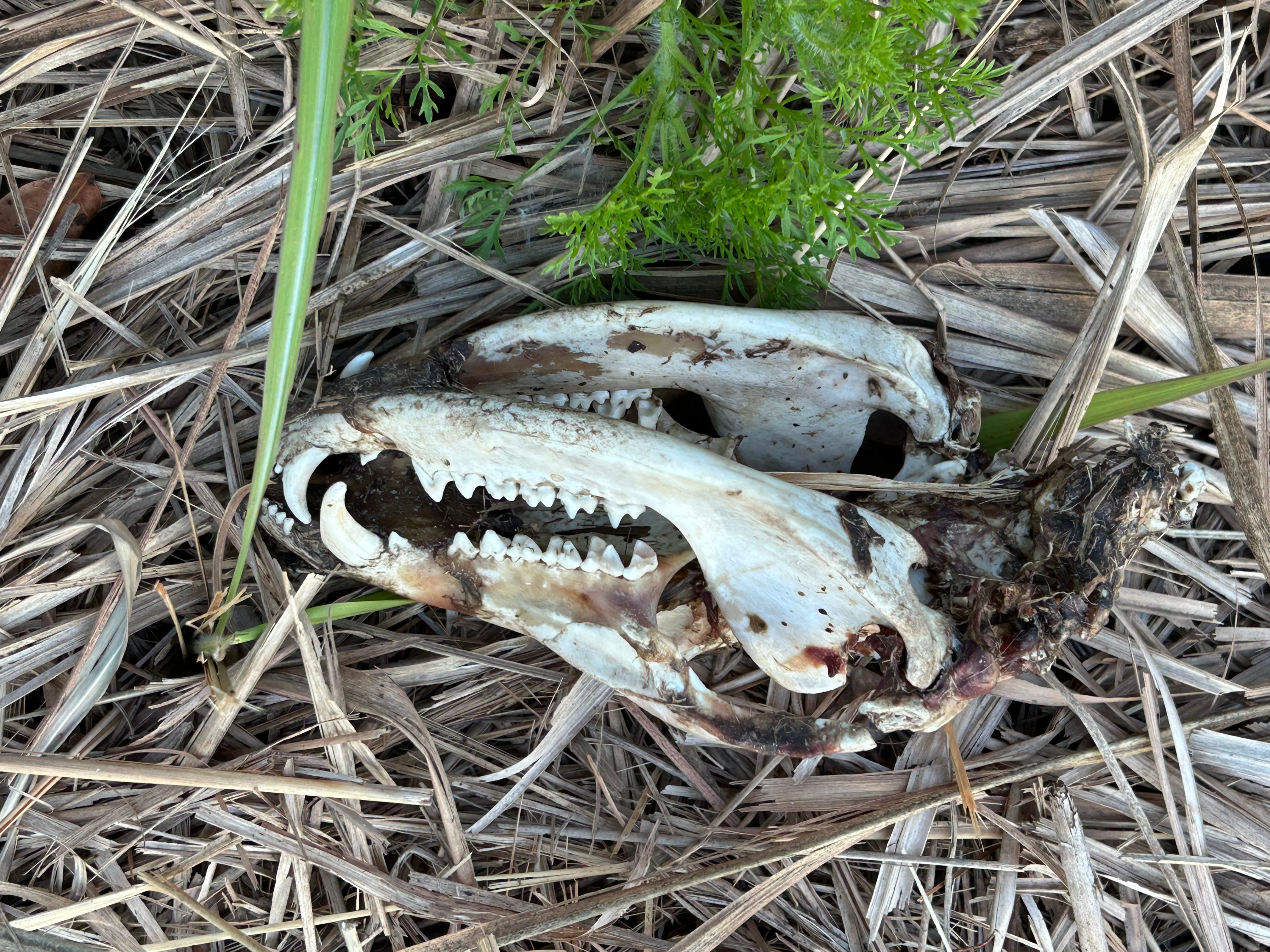
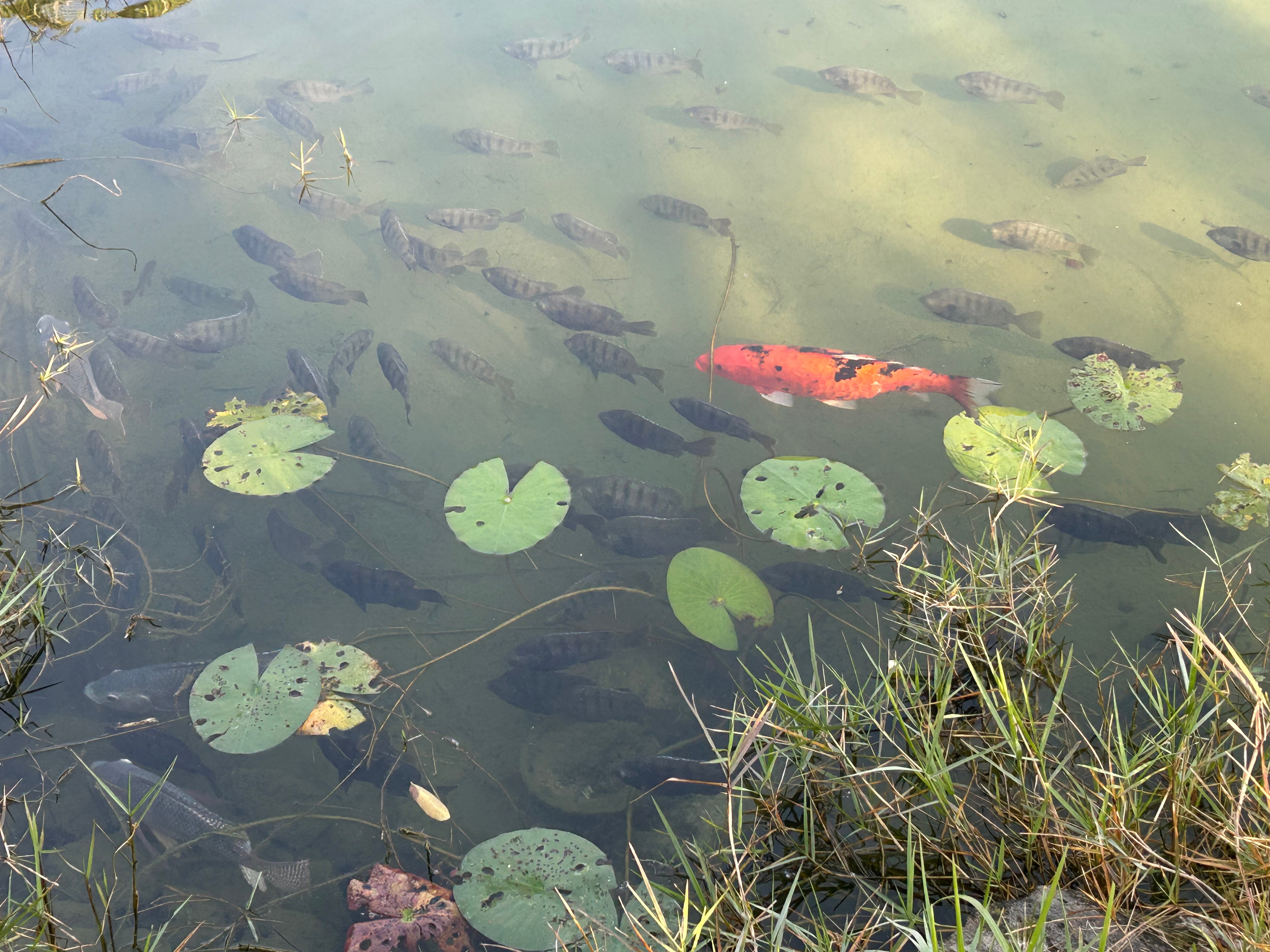
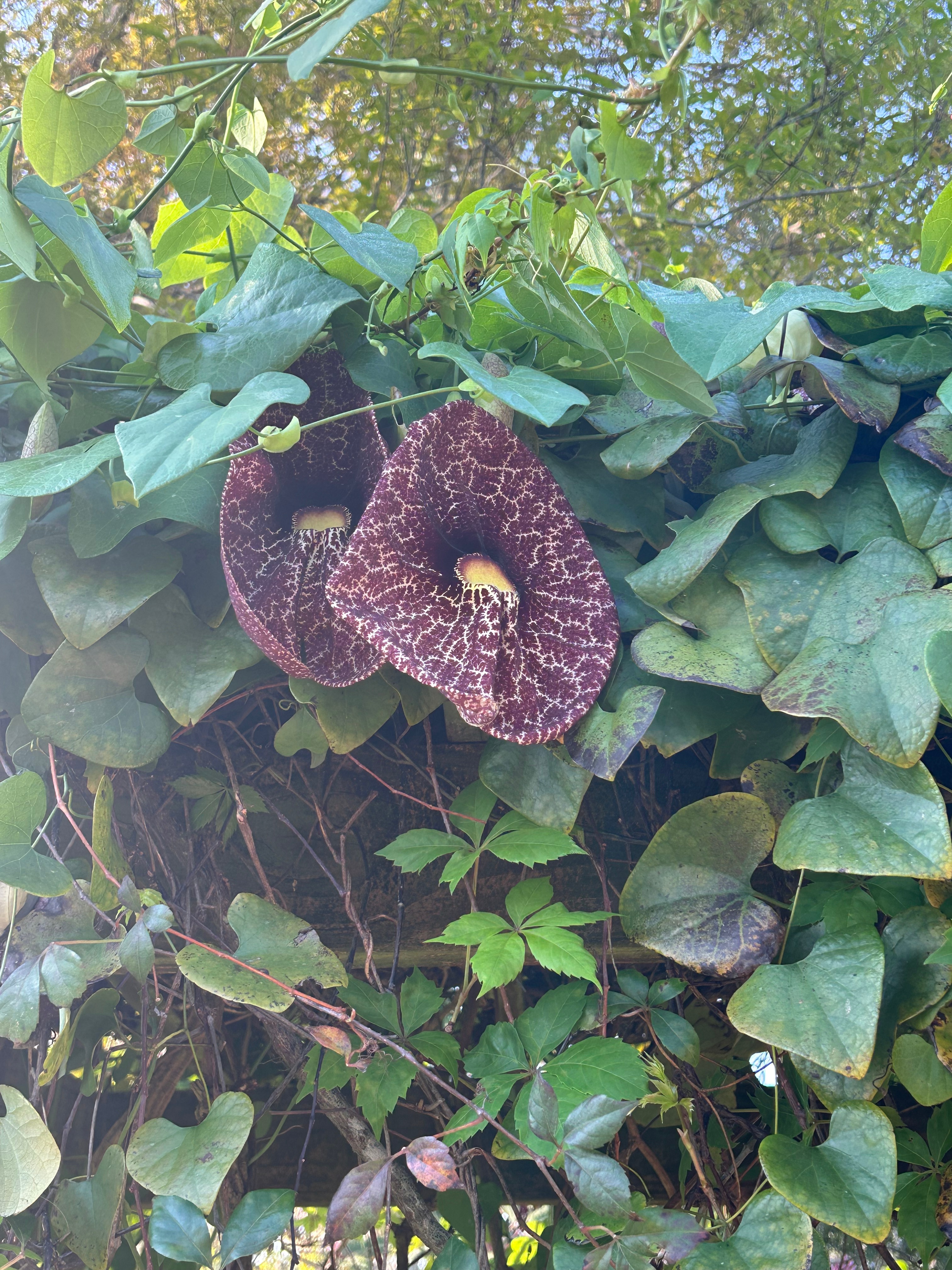
We ended the day in Malabar to stay with our friends, Chris & Shelby Muse, at their amazing house along the eastern coast of Florida. They have such a cool place, living on lots of land that used to be a plant nursery. We stretched our legs while wandering the land, mesmerized by the pond, turtles, fish (including koi and tilapia), birds, flowers, plant relics, and animal tracks. We had dinner from a pub in nearby Melbourne and retreated to their back porch to catch up, watch the stars come out, and wait to see that night’s SpaceX launch. (Thom had never seen a launch and the Muse house is super close to the launch site.) The launch was sadly cancelled, but the time together was blissful.
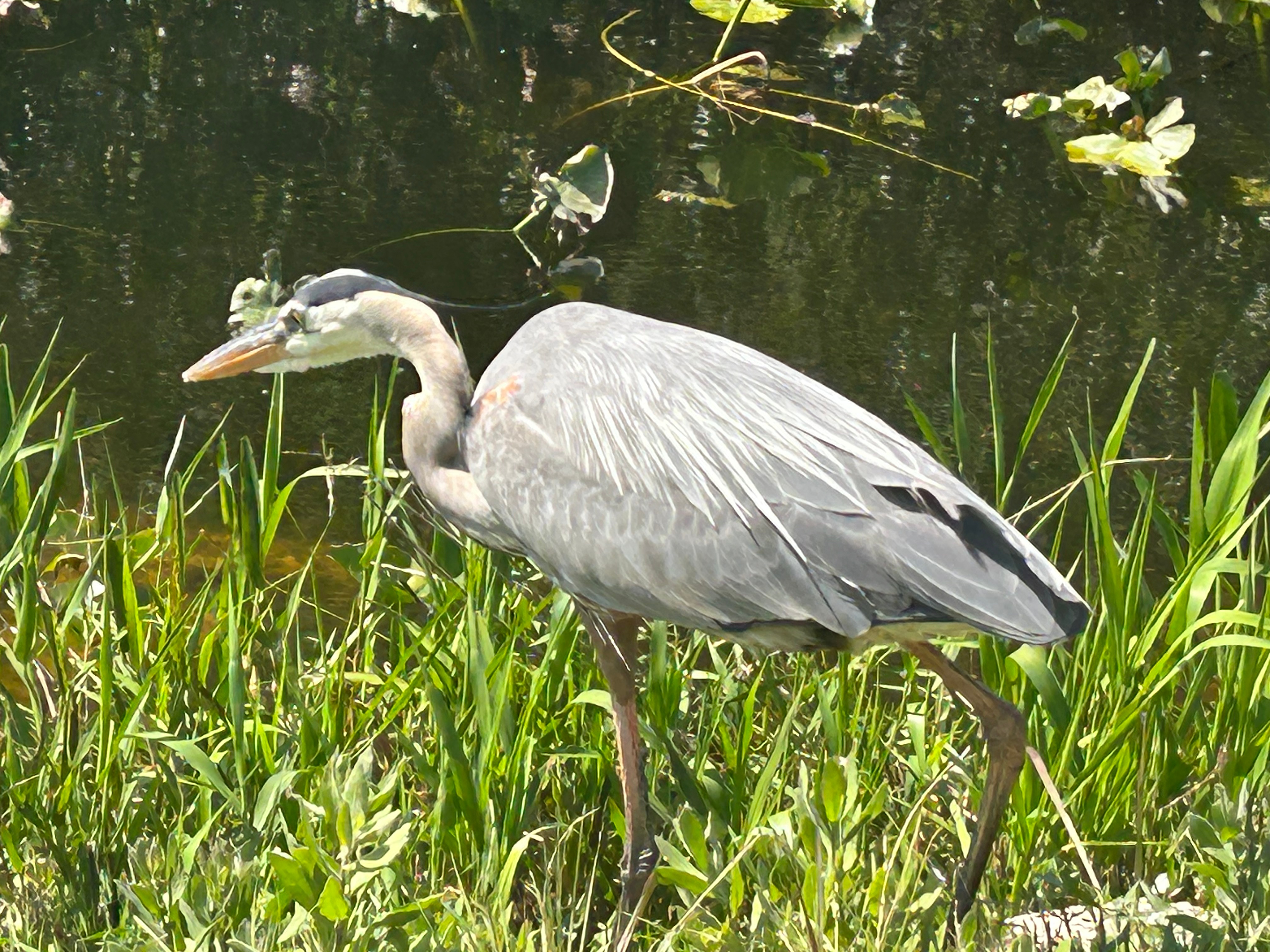
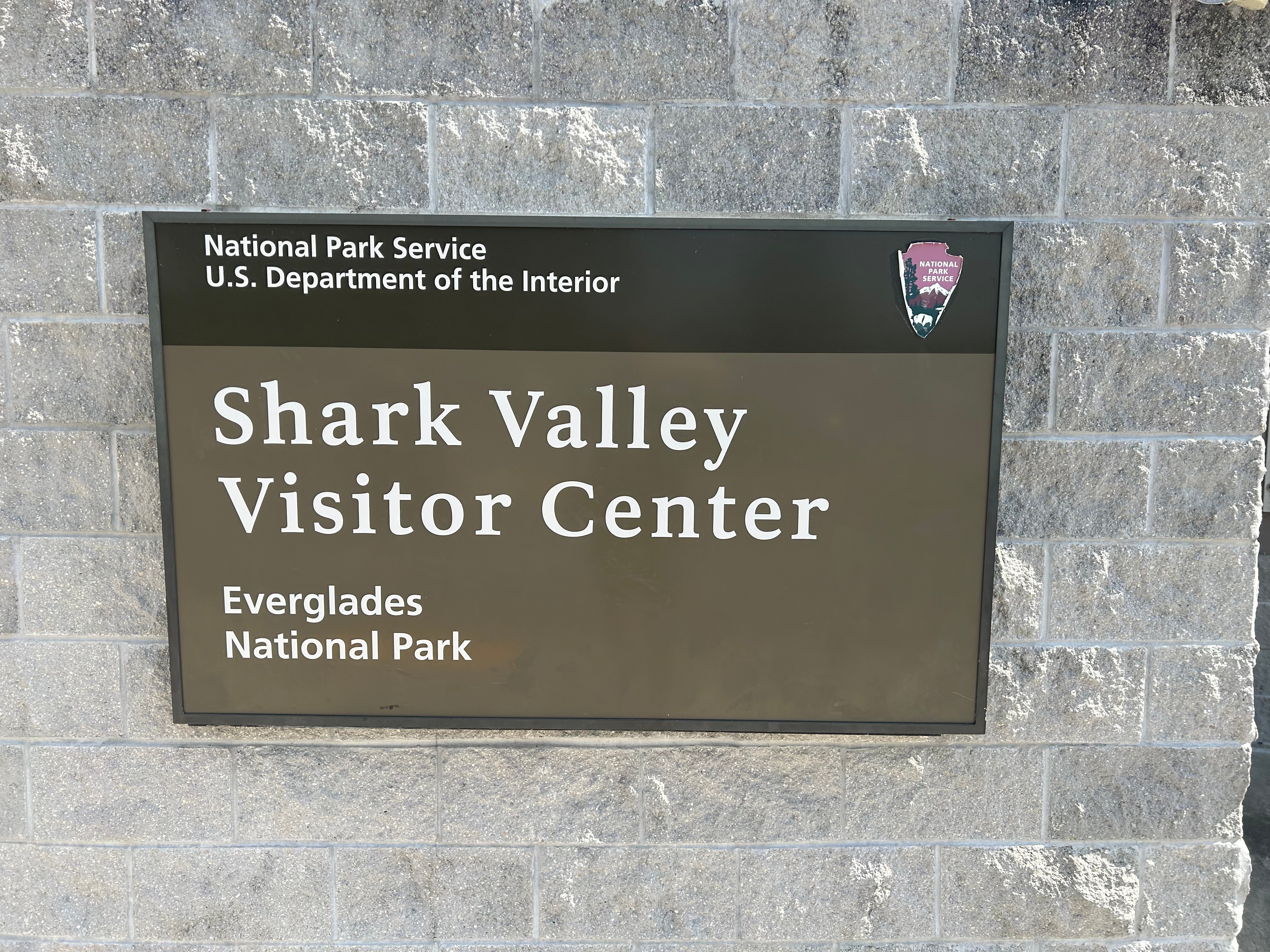
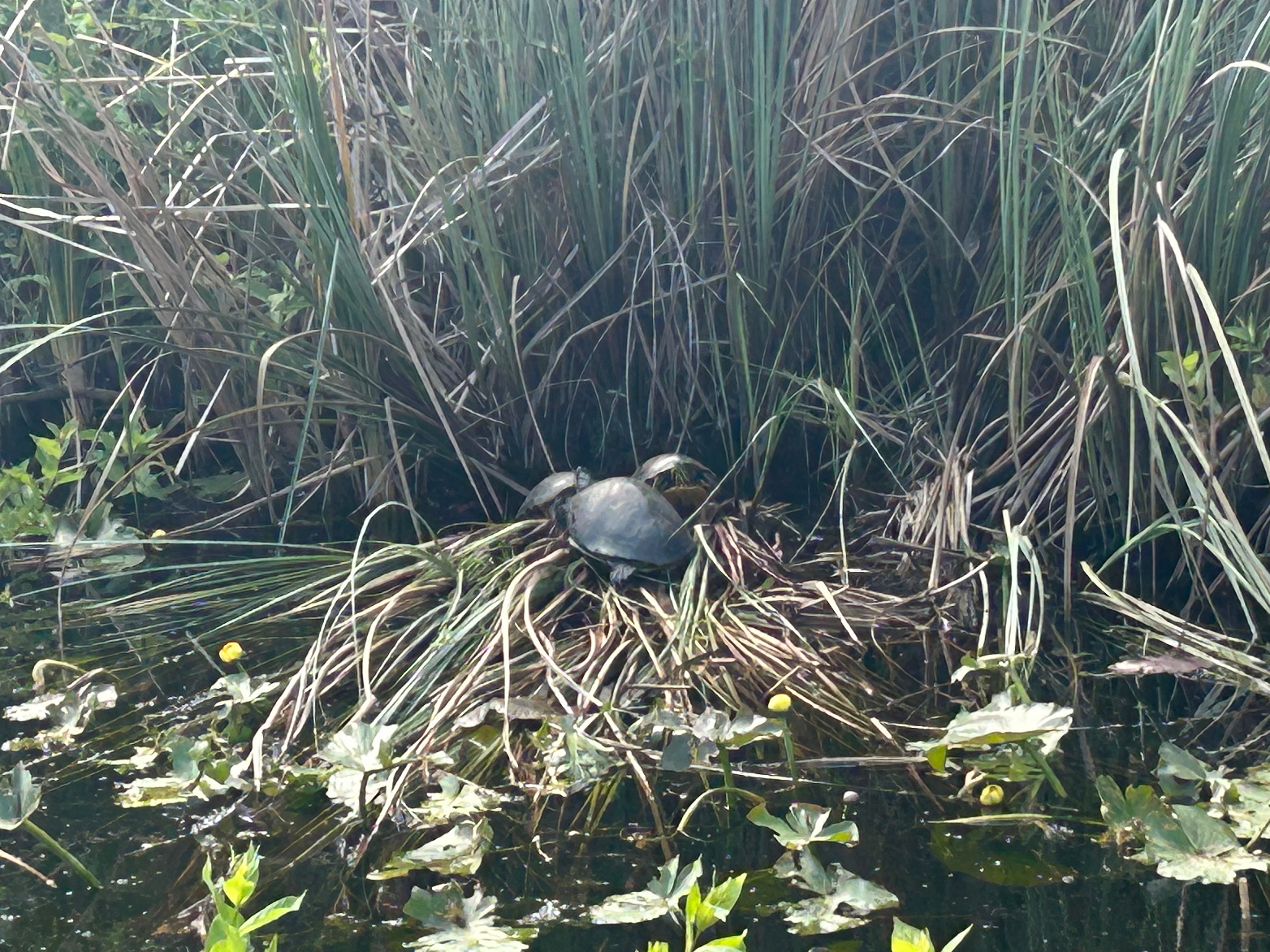
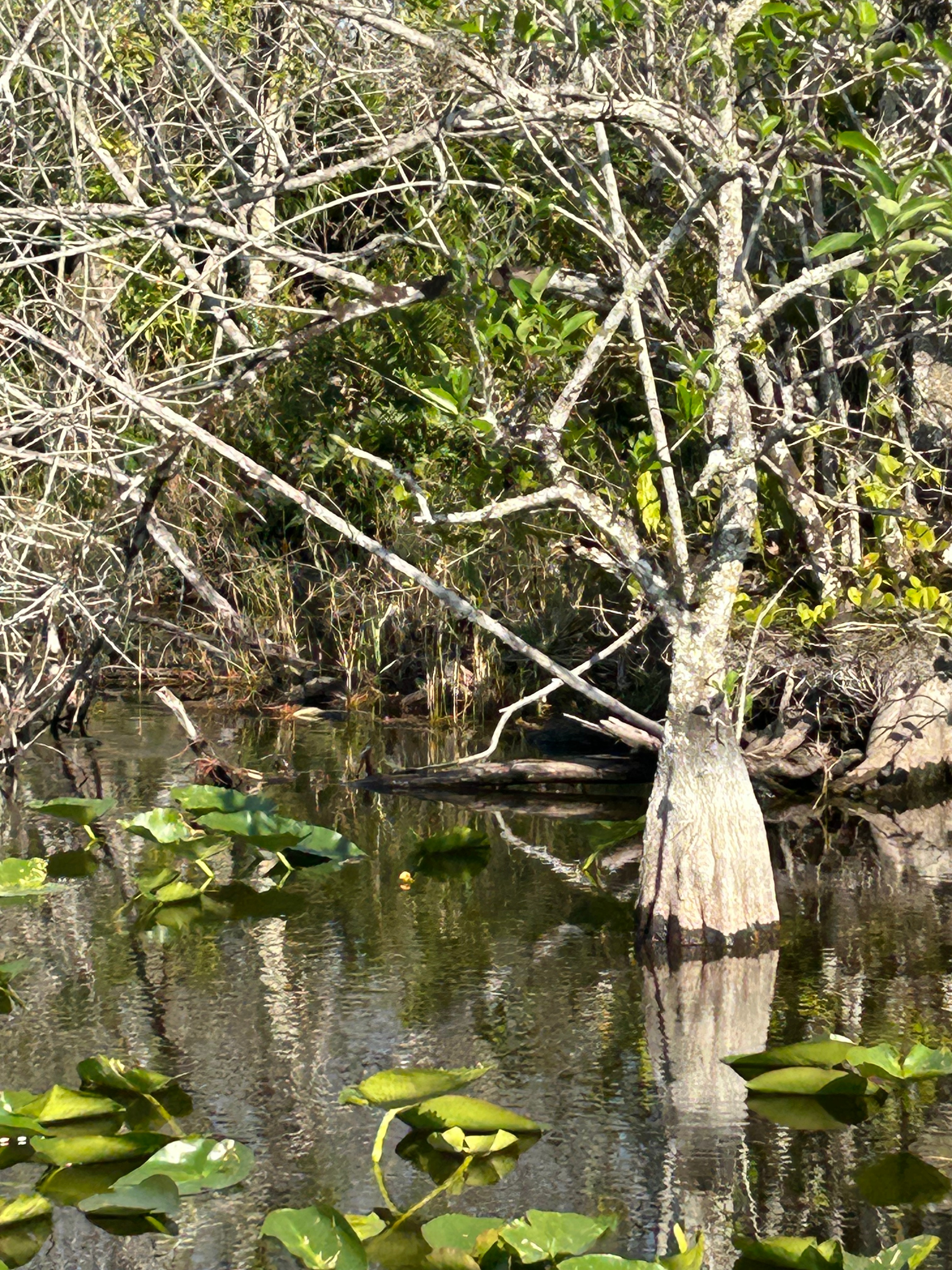
On Sunday, we woke up extra tired between the late night and losing an hour to the time change. After a lingering breakfast and southern goodbyes, we got back on the road going south. Our first stop was Everglades National Park at the Shark Valley Visitor Center. We had quite the wait getting in (due to the recent National Park staffing cuts nationwide). But, the canal and thicket along the entrance road was filled with life, so even the wait was enjoyable.
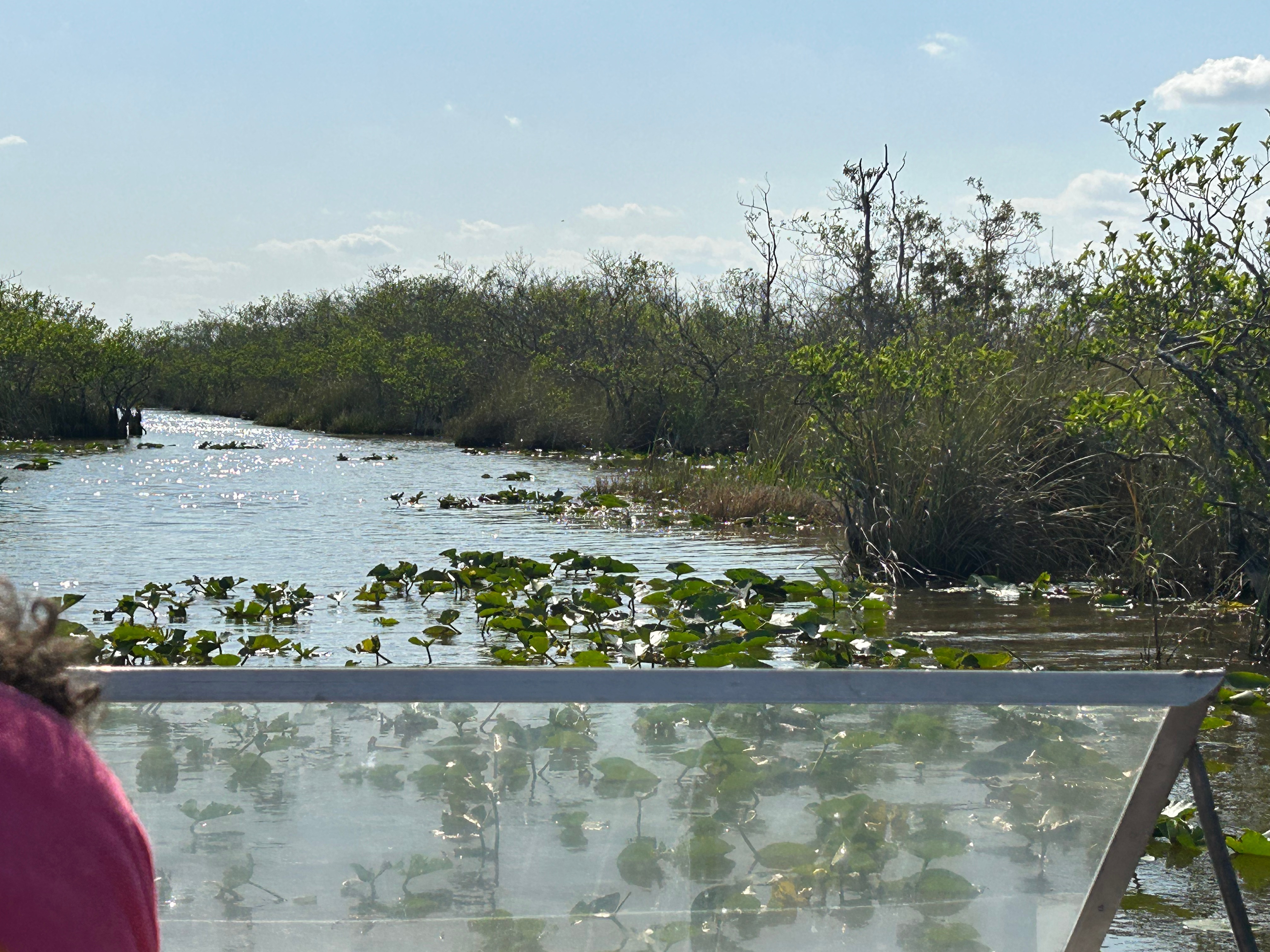
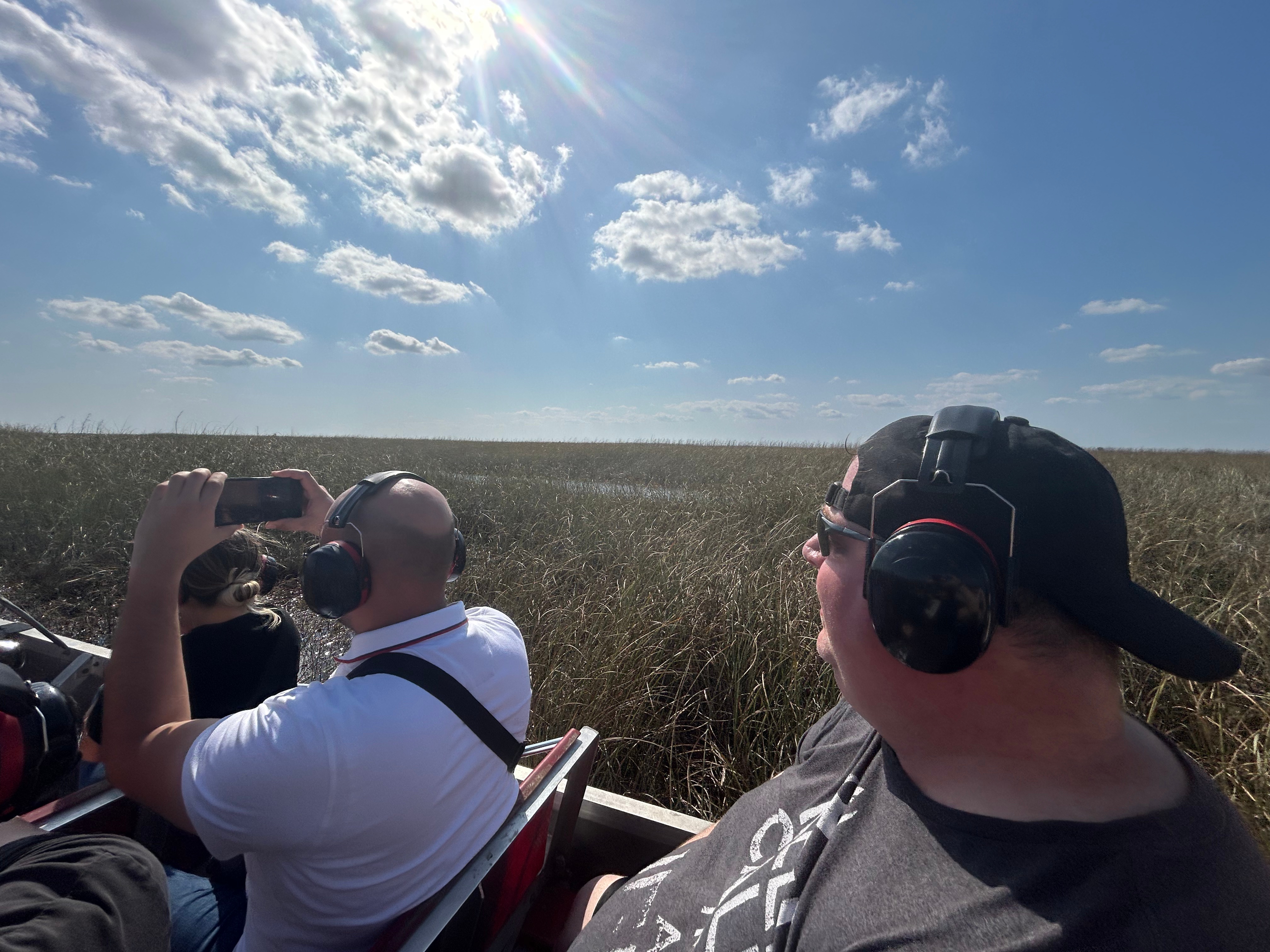
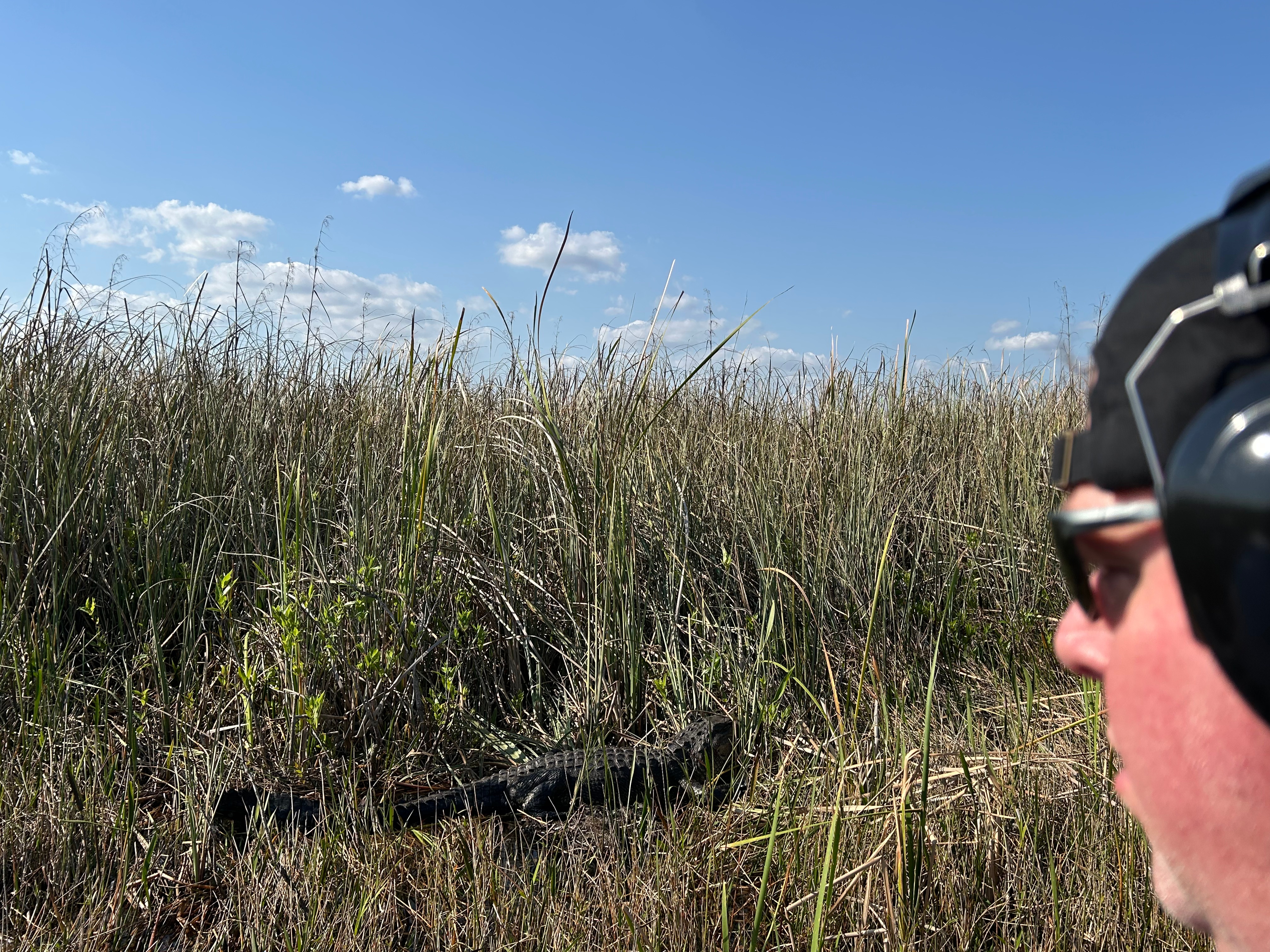
After learning about the Everglades, we went to a nearby tourist trap, Coopertown Airboat. Neither of us had ever been on an airboat, so cruising through the Everglades on one seemed like the perfect way to spend an afternoon. Let me just say, this was more fun than I even imagined. We careened around corners in search of gators and other wildlife. I had to laugh on the inside a little at the end when folks were talking about how many alligators we saw…like maybe TEN! I think these people would faint if they ever wnt to the Okeefenokee, where the gators outnumber the guests probably 100:1 (and that’s just the ones you see).
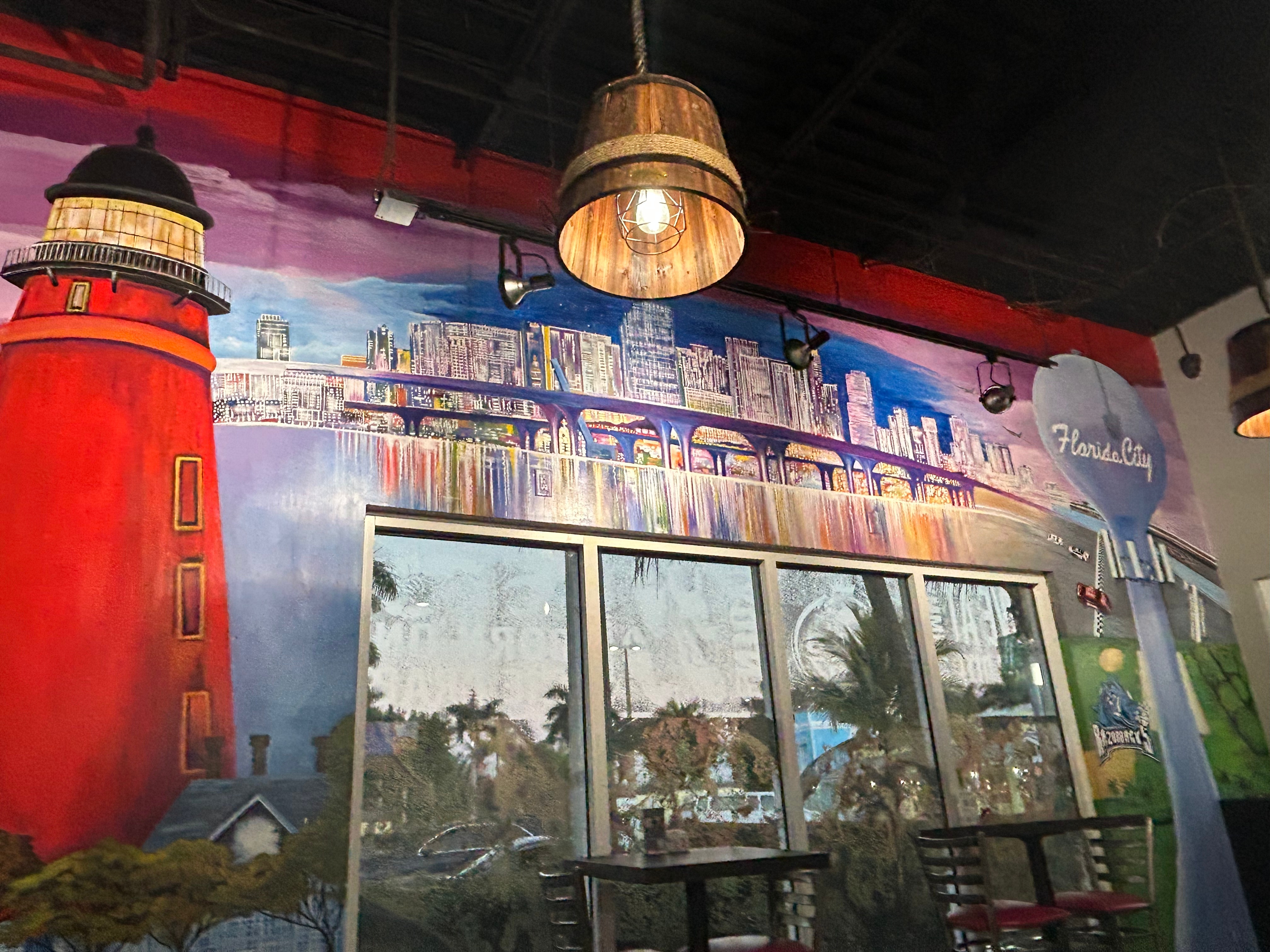
After our Everglades adventures, we ended the day in the little town of Homestead. It was relatively close to Miami but felt like we were in the middle of nowhere. We had a delicious seafood feast in a nearby restaurant. On the outside, it looked like an old Taco Bell building. On the inside, it was decked out with murals and art knick-knacks. Don’t judge a place by it’s cover!
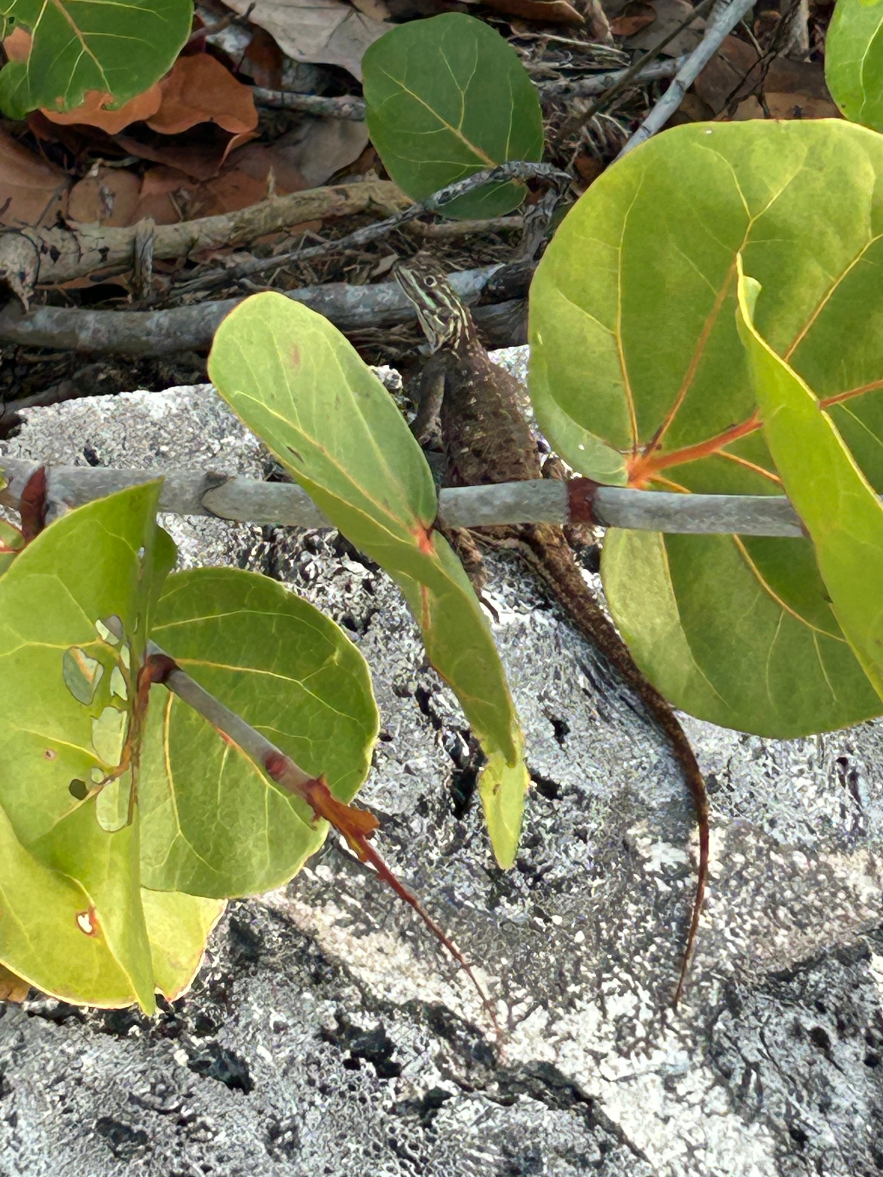
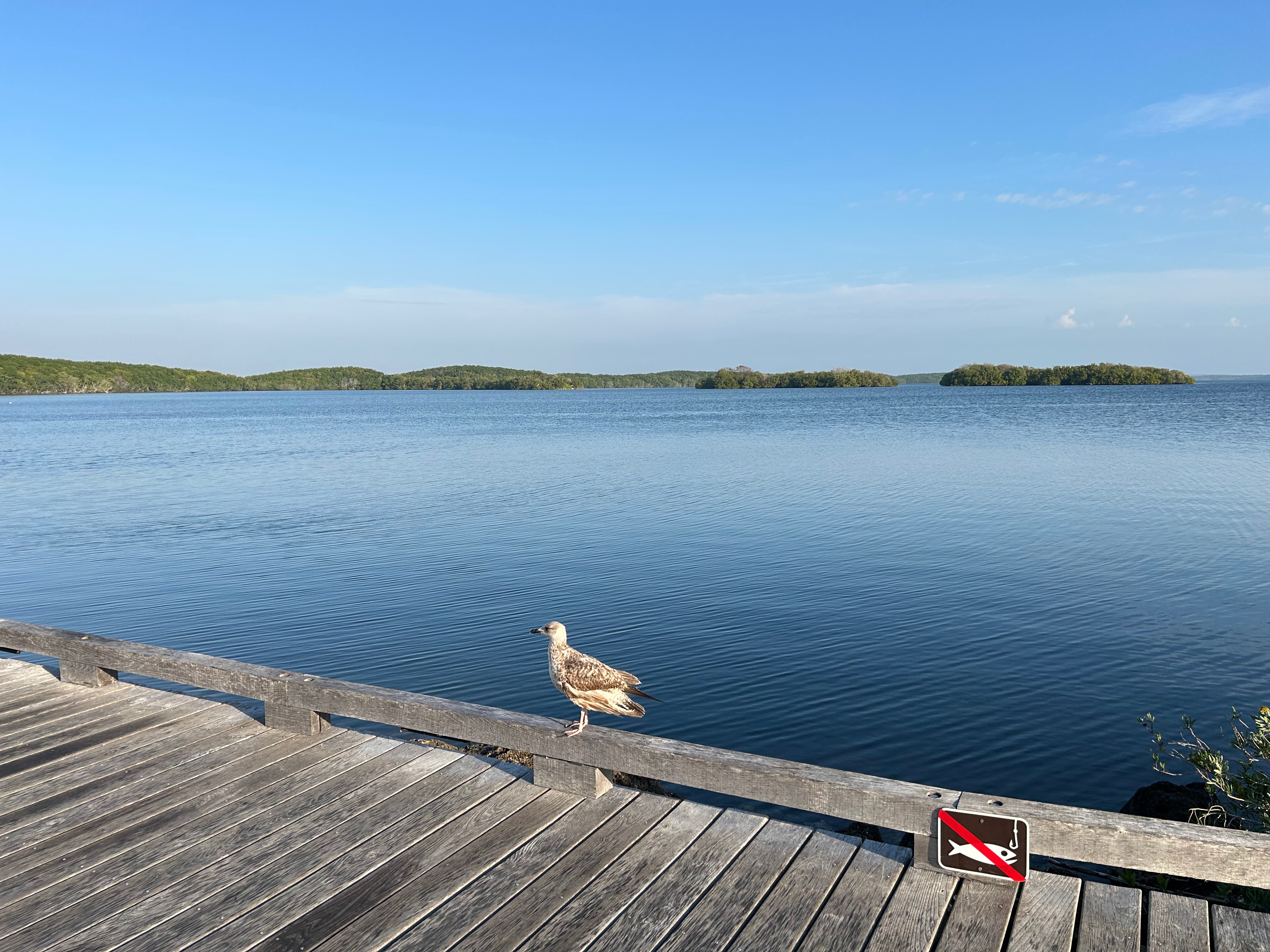
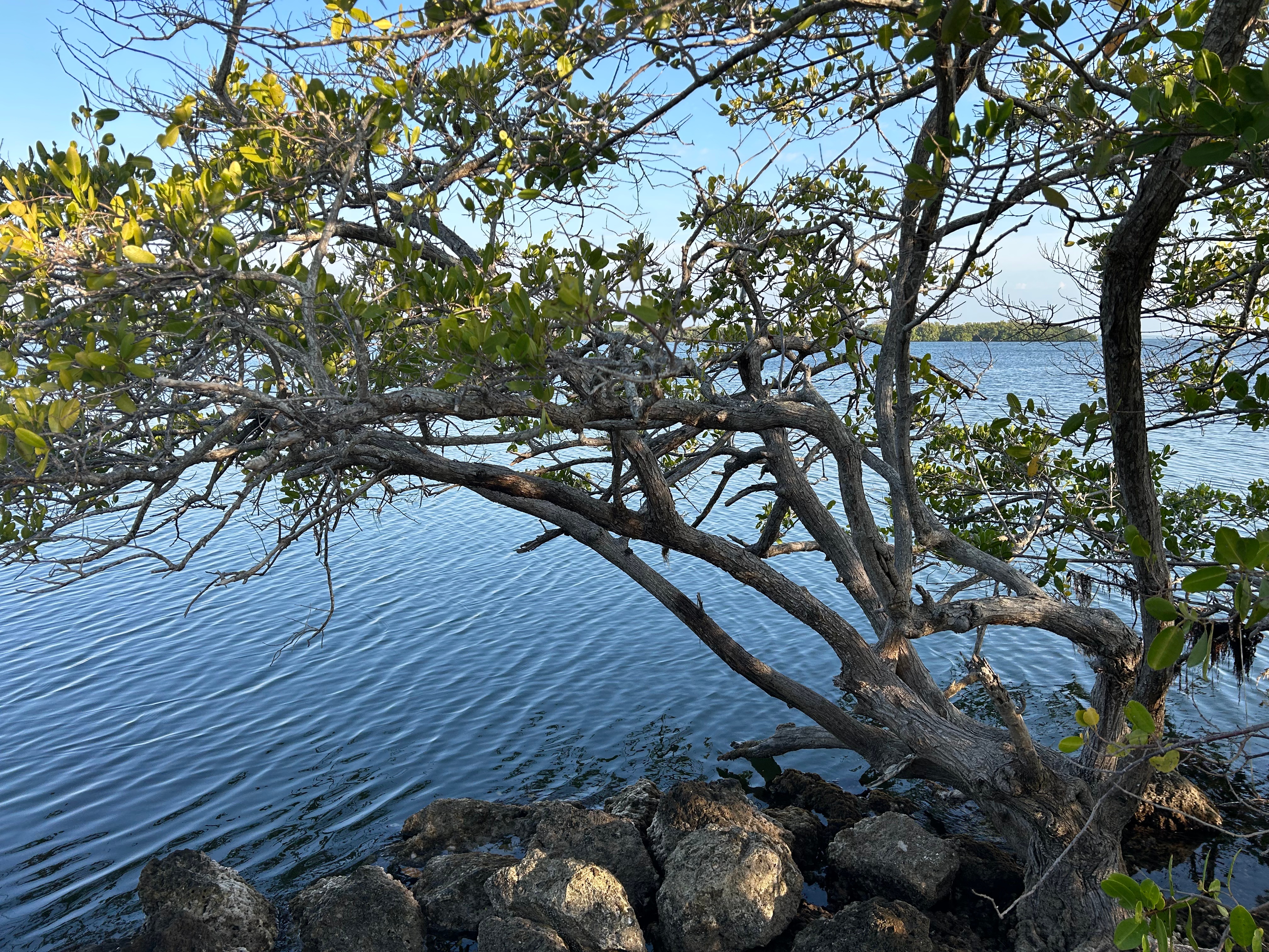
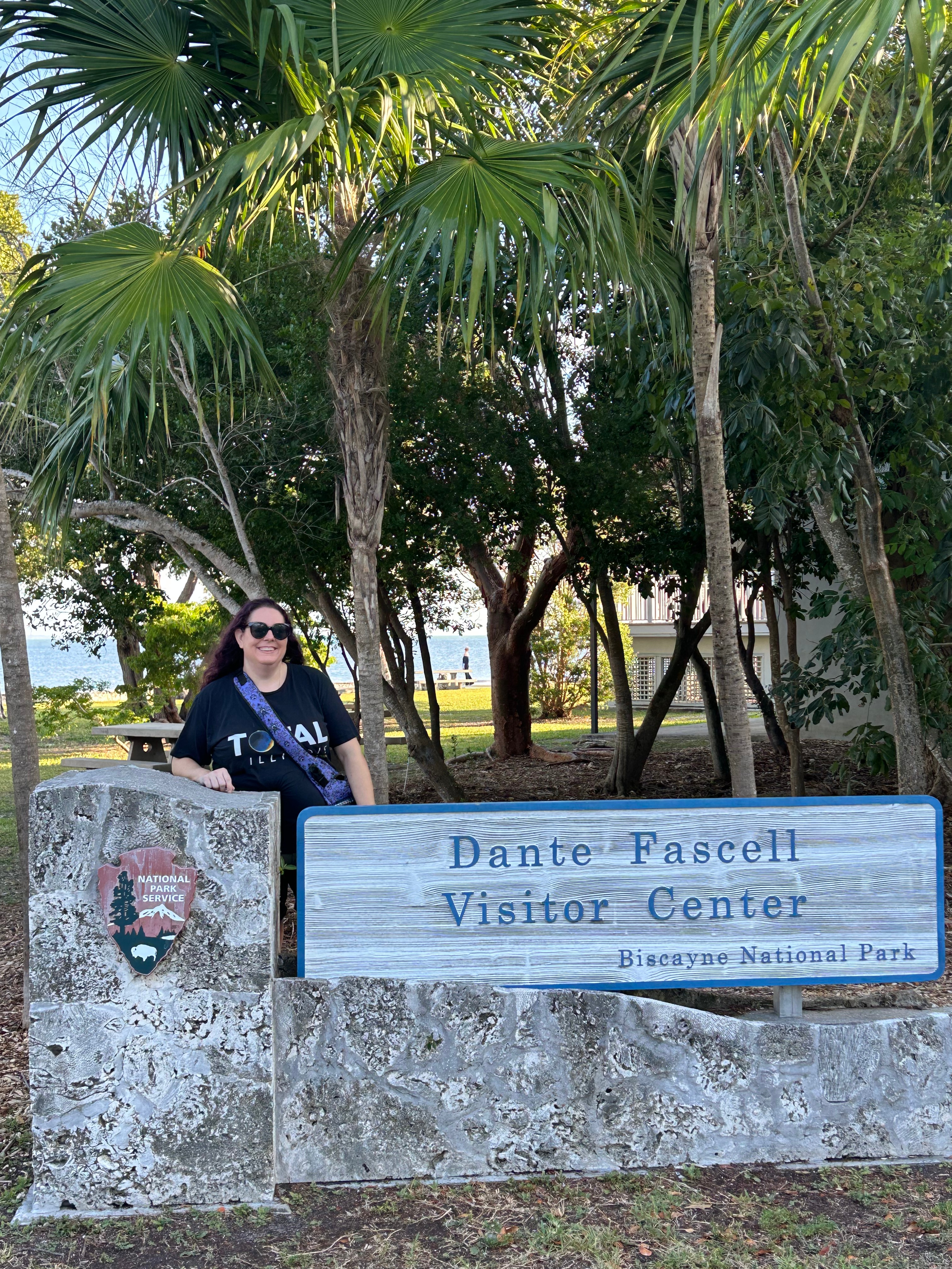
Monday morning was an early start, so we could fully enjoy the drive all the way to Key West. Our first stop was Biscayne National Park. We enjoyed the visitor center museum and films, learning a lot about the park and the general area. The trail around the center was simply delightful–right against the water’s edge. I had funny little stalkers on my walk. This lizard scooted along the brush on my left (freezing whenever I stopped). The bird flew and landed periodically just ahead of me on the right. I’m pretty sure he was not to going to follow the rules with that no fishing sign…
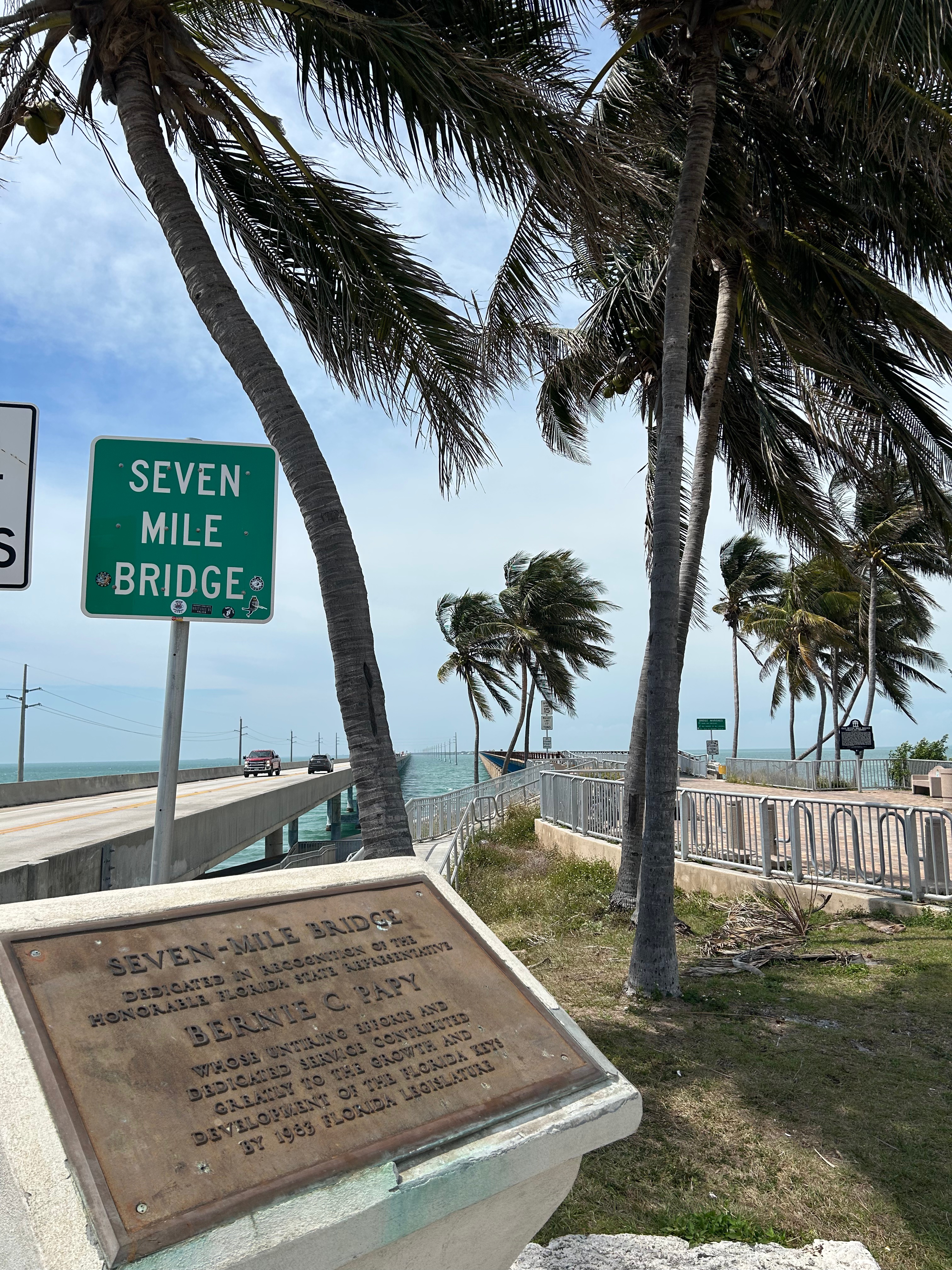
Just a few minutes from Biscayne, we were on the Overseas Highway! Many naysayers told us not to bother with this drive. It was noted as long, monotonous, and traffic-ridden. However, I’ve learned over the years to ignore these kind of comments, no matter how much I love the person sharing the advice. We’ve been told not to bother with Niagara Falls (just an overrated waterfall) or the Grand Canyon (just a big ditch)…and we’ve loved both of these places. So, off we went on the 113-mile road.
The drive was more bridges than land, or so it seemed. I didn’t keep count, but the data says there are 43 islands–most with towns of varying sizes. With 43 islands that means 42 bridges, so we had a fun Douglas Adams-themed discussion about that! Key Largo (the first real town) was, in fact, very touristy and traffic-packed. I wonder if some folks only make it that far, assume the whole road is like that, and turn around. Their loss, as once we cleared Key Largo, there were countless gorgeous views. There was occasional traffic, but nothing to match the traffic we have all the time in Atlanta.
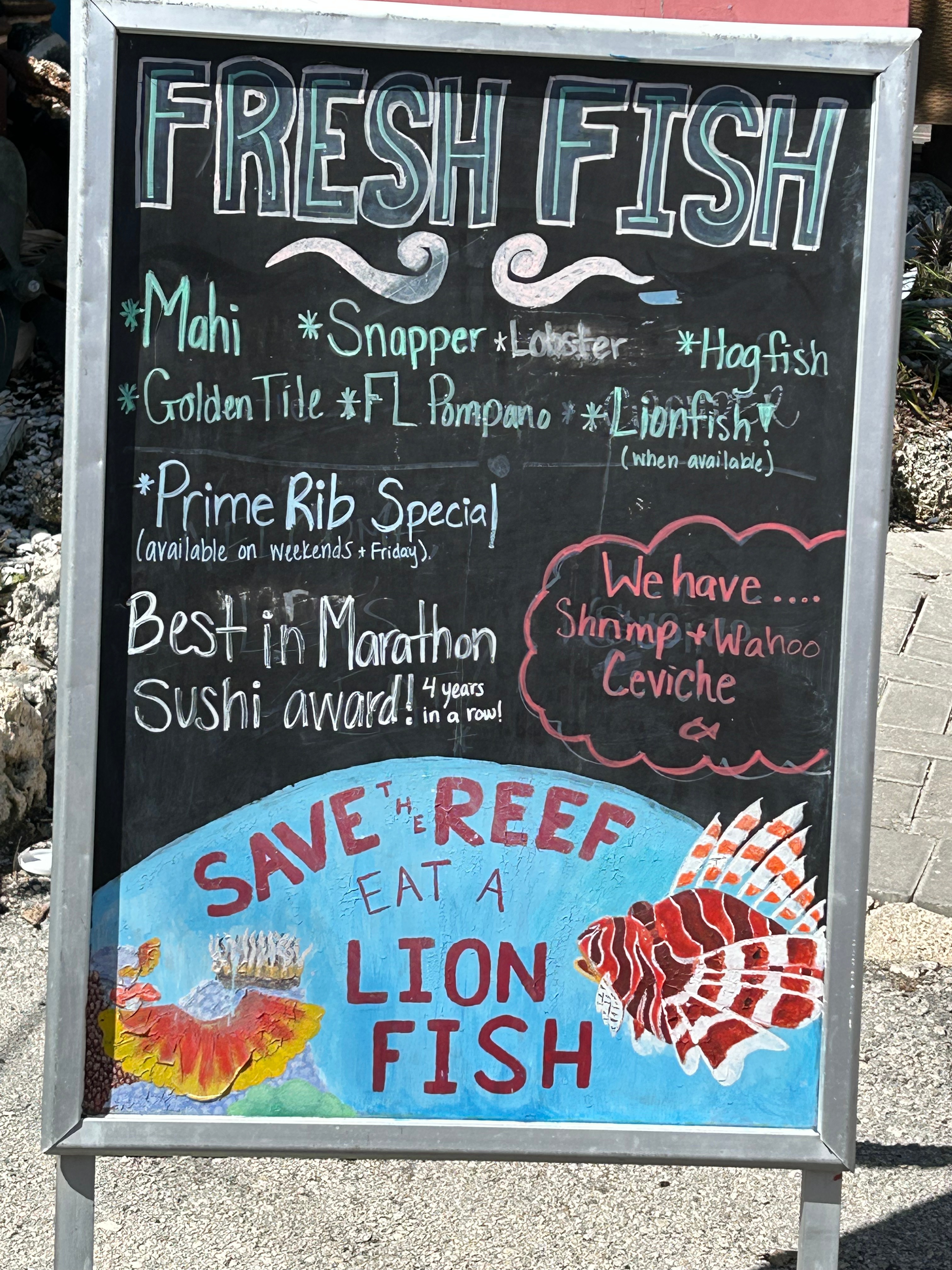
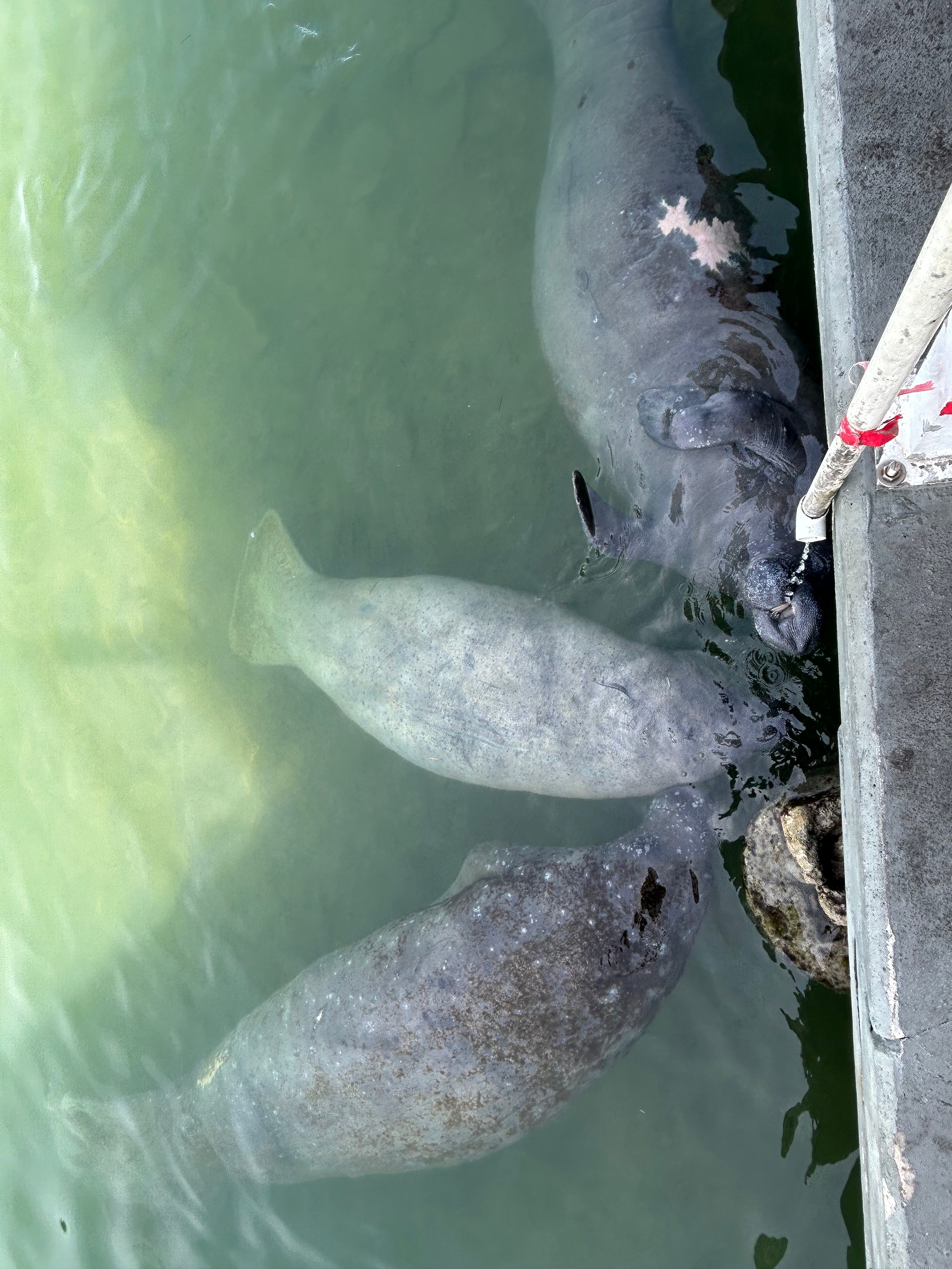
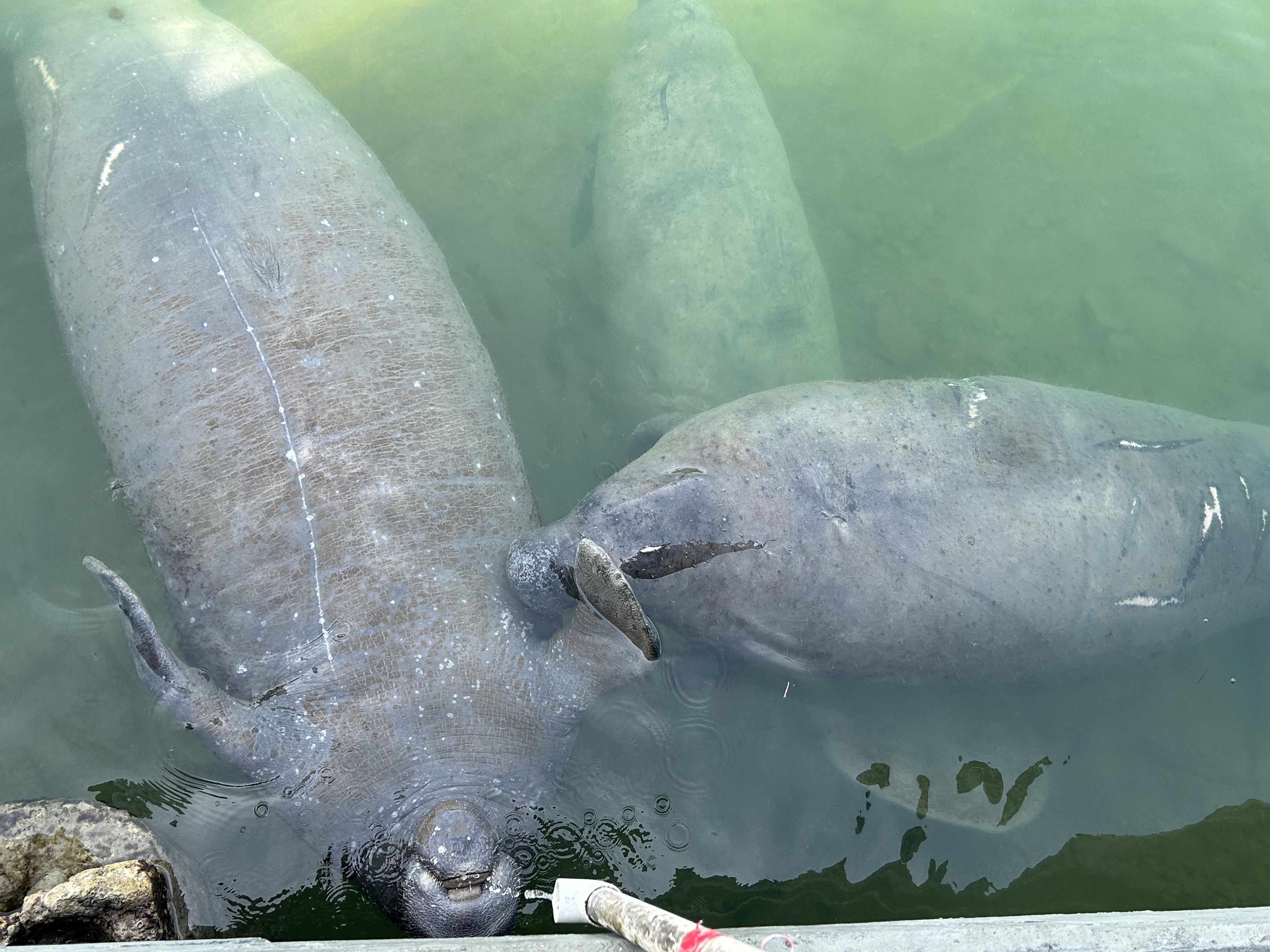
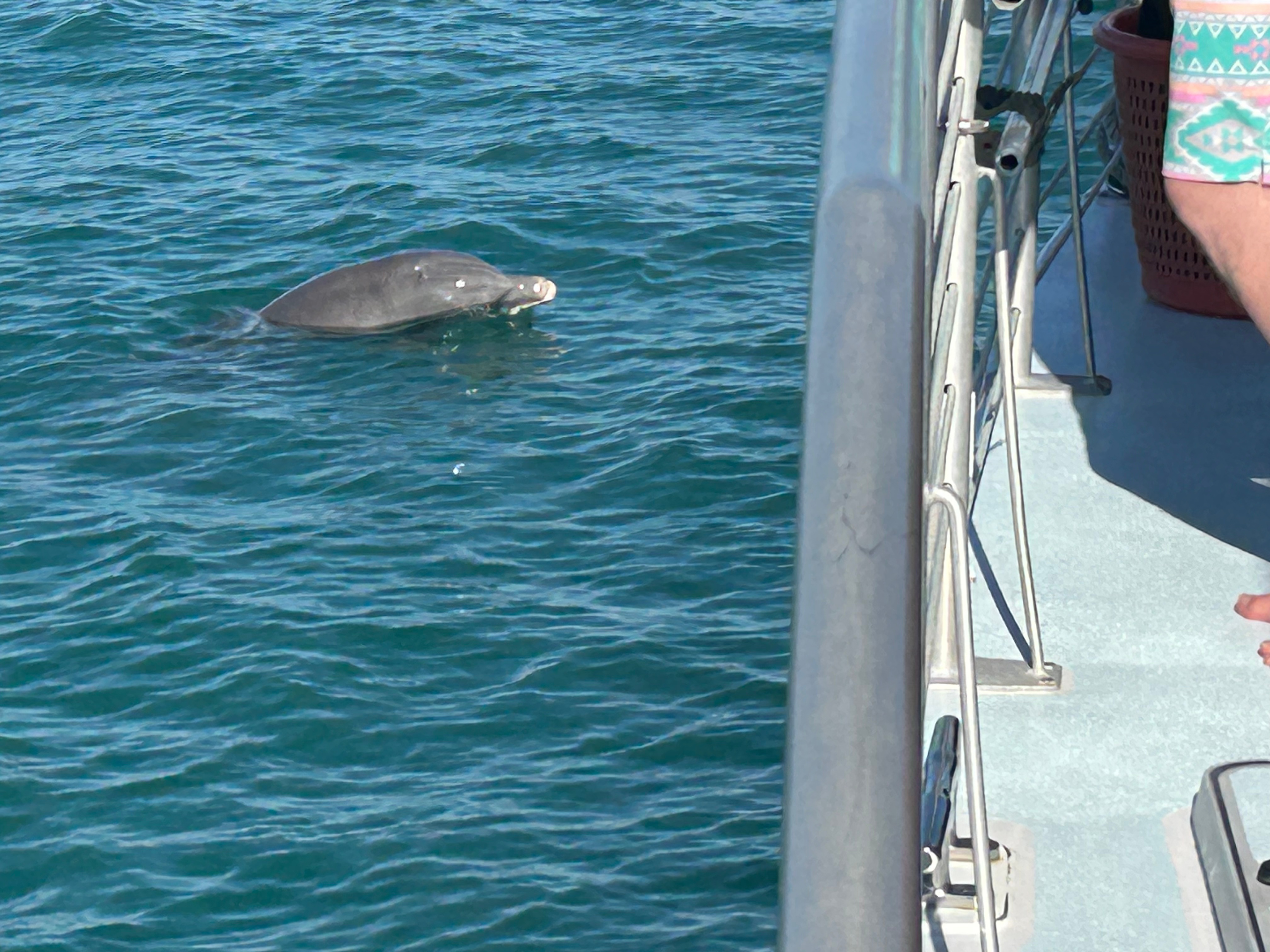
We stopped for lunch along the way in Marathon, at a place recommended by DDD (Guy Fieri)–Castaway. I had hoped to try lion fish, but alas it wasn’t in stock that day. Brandon had shared stories from a prior scuba trip where they were searching for lion fish (to help kill this invasive species). I wanted to join the movement and do my part by eating one. Despite that small disappointment, the food was delicious and we got to watch some of the iconic Keys iguanas frolicing around the docks. In talking with our server, we mentioned we were on the lookout for manatees (having never seen them in the wild). She laughed and told us to go outside the back of the restaurant and look in the water. Sure enough, just under a drain off the building, there were three large manatees in the water. They were so fun to watch as they slow-motion jockeyed for position to drink the dripping water.
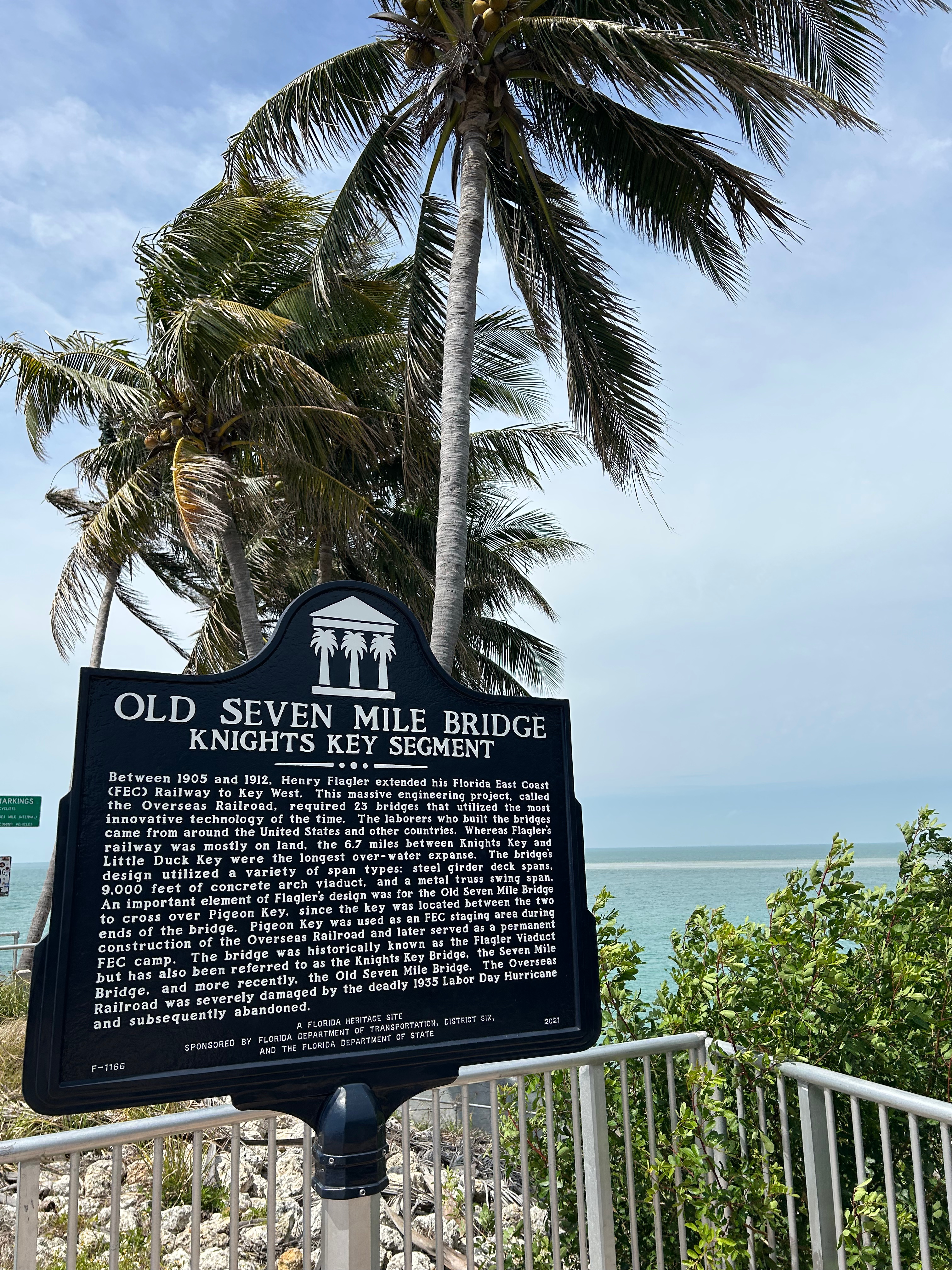
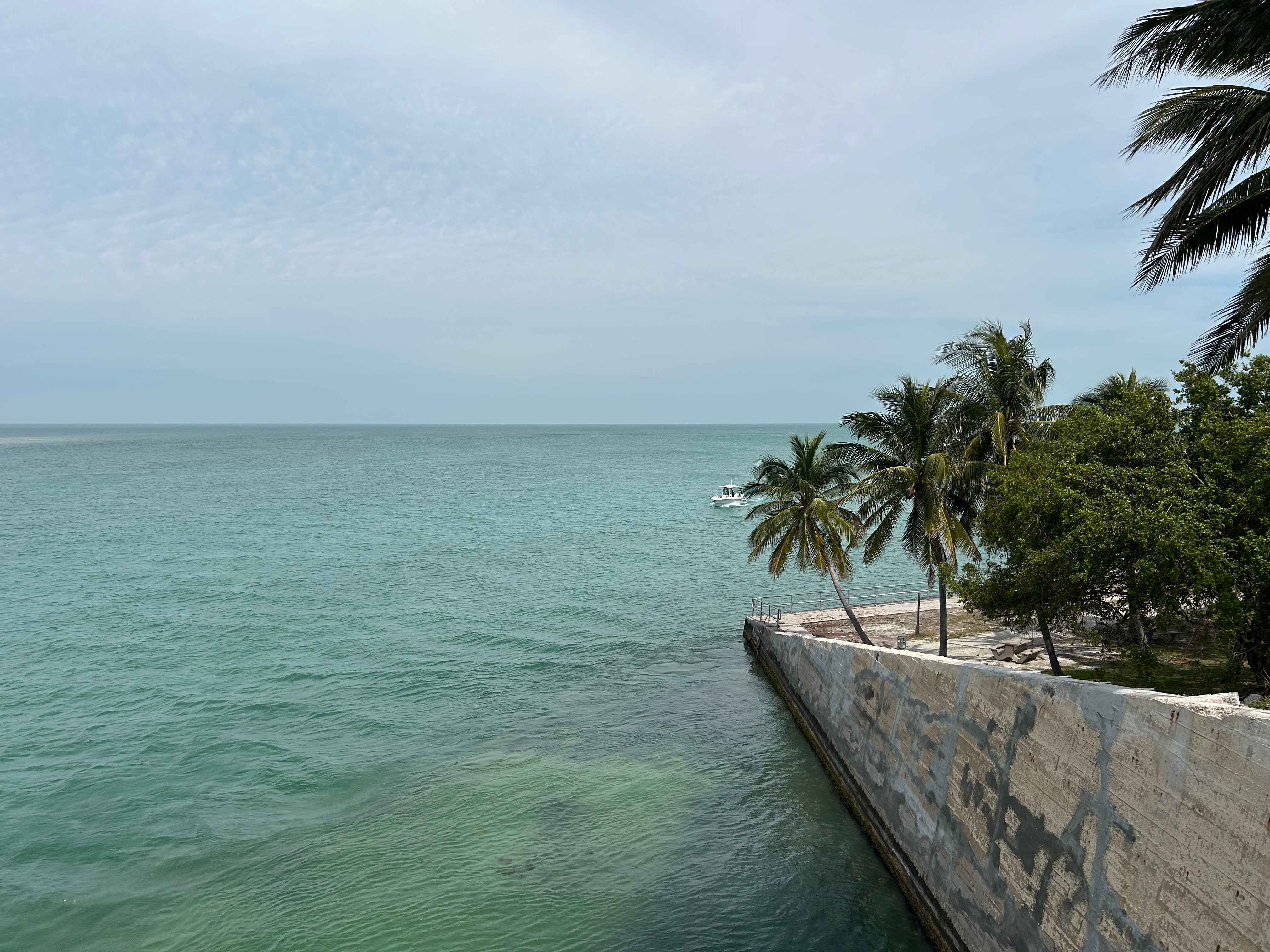
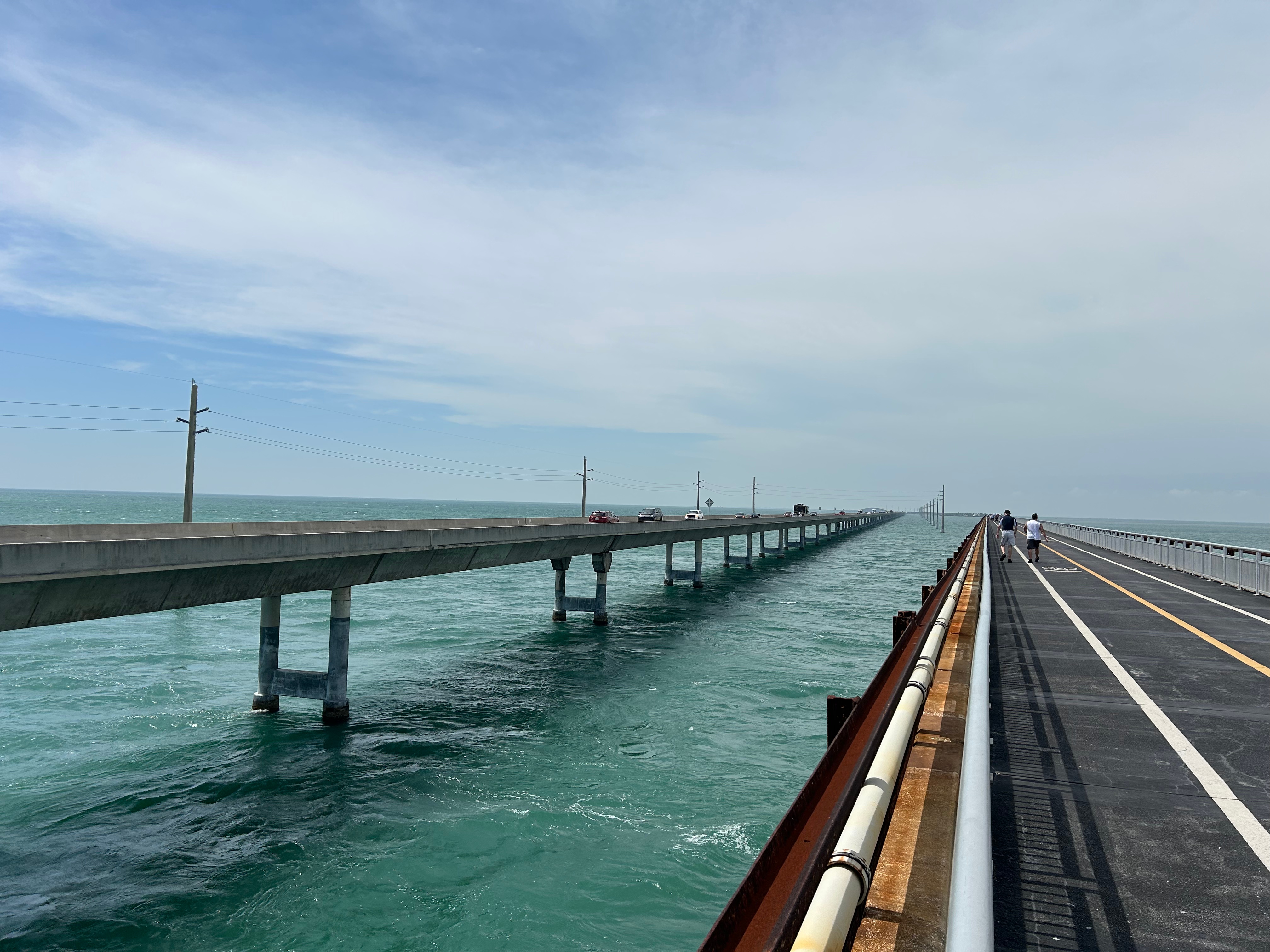
After lunch, we came upon the Seven Mile Bridge. I got out and walked a mile out on the old bridge that parallels the current bridge. The wind was crazy, and it seemed a storm was pushing in. Nonetheless, I took a few moments to feel the wind on my face, the sun on my back, and to visually soak up all the beauty of life–from birds soaring on the wind to the waves splashing on the bridge columns. Back in the car, we traversed the long bridge and soaked up the beauty. We were also delighted to see the ever-resilient Fred the Tree. He’s a good reminder that life finds a way.
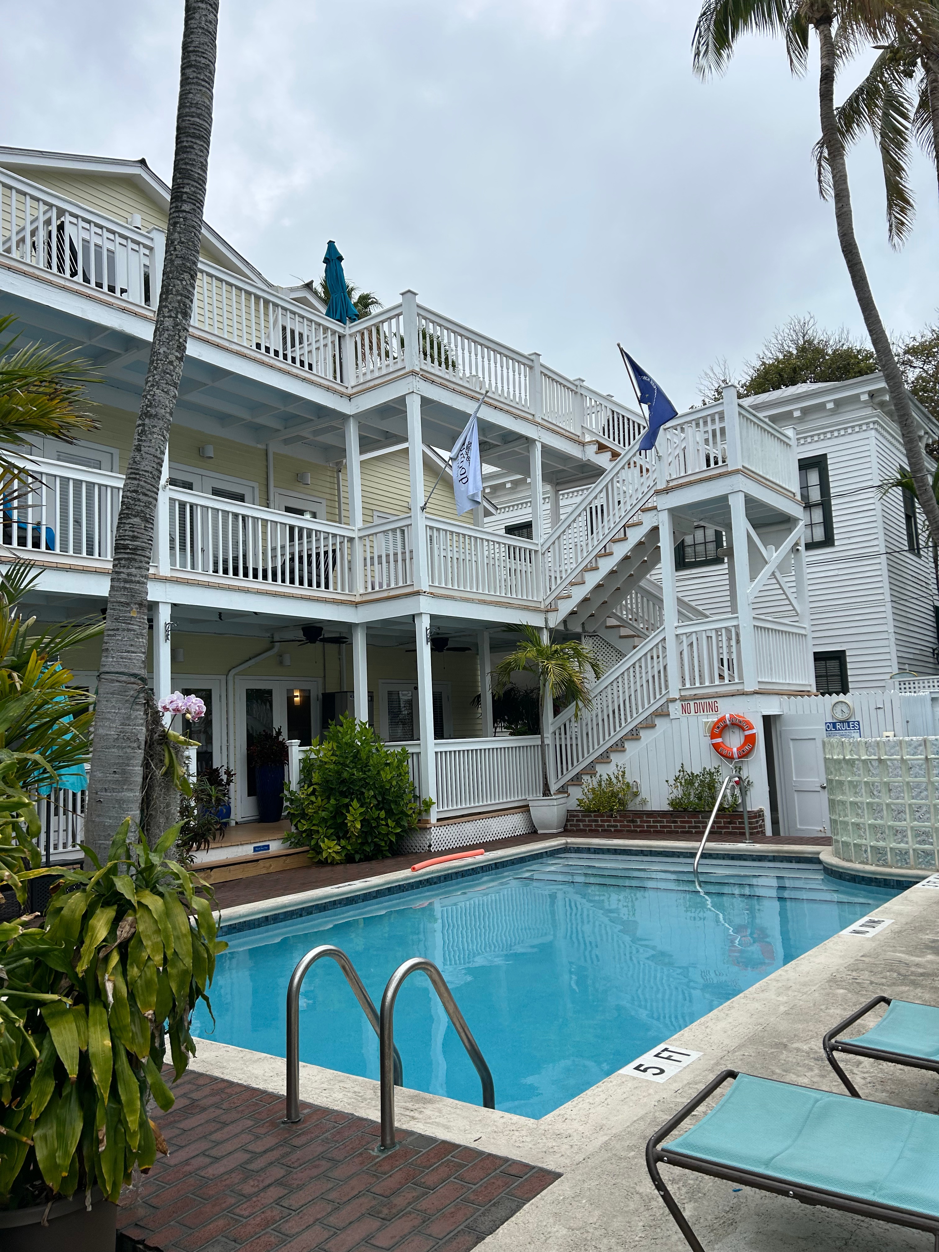
Back on land (for a moment), we had hoped to visit the National Key Deer Refuge and see the tiny deer. Alas, it was closed that day, so on we went towards Key West. As we approached the final island, the previously looming weather made it’s grand entrance with thunder, rain, and wind. The first challenge was to find street parking near the hotel, as most of the hotels don’t include parking and the parking deck was quite a walk from our hotel. We got lucky with an empty spot just a block away, and the storm blew out just as we parked. We checked into the cutest hotel ever–The Bishop Key West. I highly recommend this place for a couples getaway. While only a few blocks from most everything, it felt remote once inside the complex. The rooms were all along the perimeter of the property and the middle was open with two pools, a hot tub, and a pool bar. It was a great home base for our days in Key West.
Not long after checking in, we got the sad news that our sunset dinner boat tour had been cancelled due to the wind. We enjoyed happy hour at the pool while figuring out what to do with our newly-free evening. We managed to land a last minute reservation for the exclusive restaurant, Latitudes. The reservation came with a boat ride over to Sunset Key, where the restaurant is located. Of course, we had to get to the boat first. There were two possibilities: walking about eight blocks or giving the free bus system a whirl. Off we went, a block down from our hotel, to catch the Duval Loop. As with any free transportation, it was not without issue. Over our time at Key West, we not only perfected the system of using the bus, but Thom found a transportation app that tracked the bus and proceeded to teach every baffled tourist how to use it. That’s my IT guy!
As we approached the waterfront, the wind nearly bowled us over. All the boats along the docks were rocking like crazy. There was also a cruise ship still in dock, and we heard some of the passengers talking about how they were staying docked all night because of the high wind. I downed some motion-sickness meds, and we took a wild (but thankfully short) boat ride to get to dinner. It turns out that it was too windy to dock right next to the restaurant. So, they dropped us off on the other side of the small island instead. We definitely worked up an appetite walking all the way to the restaurant! We fully understood why there had been cancellations, but were still glad it allowed us to get a reservation. Latitudes lived up to the hype with great food & atmosphere.
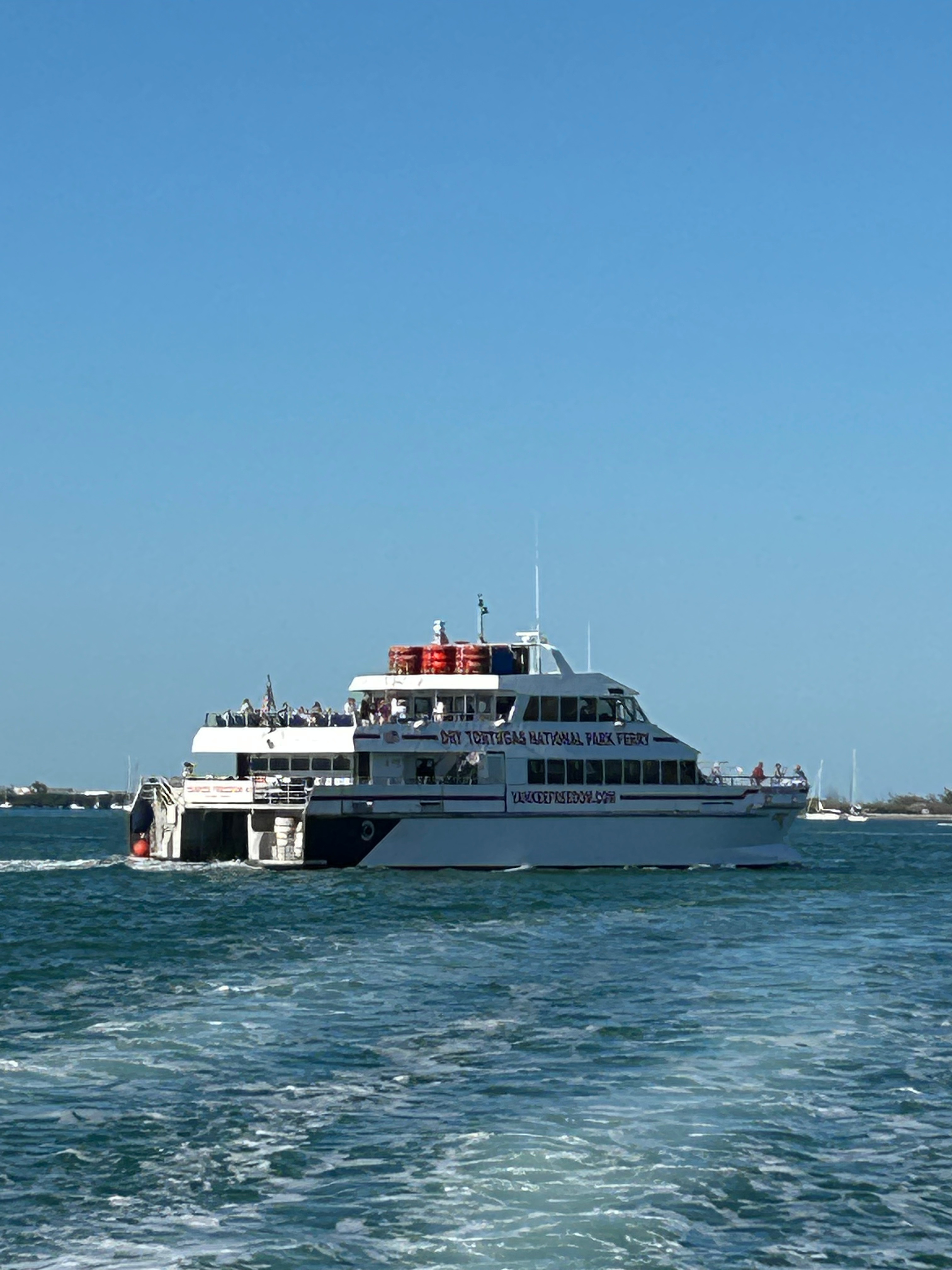
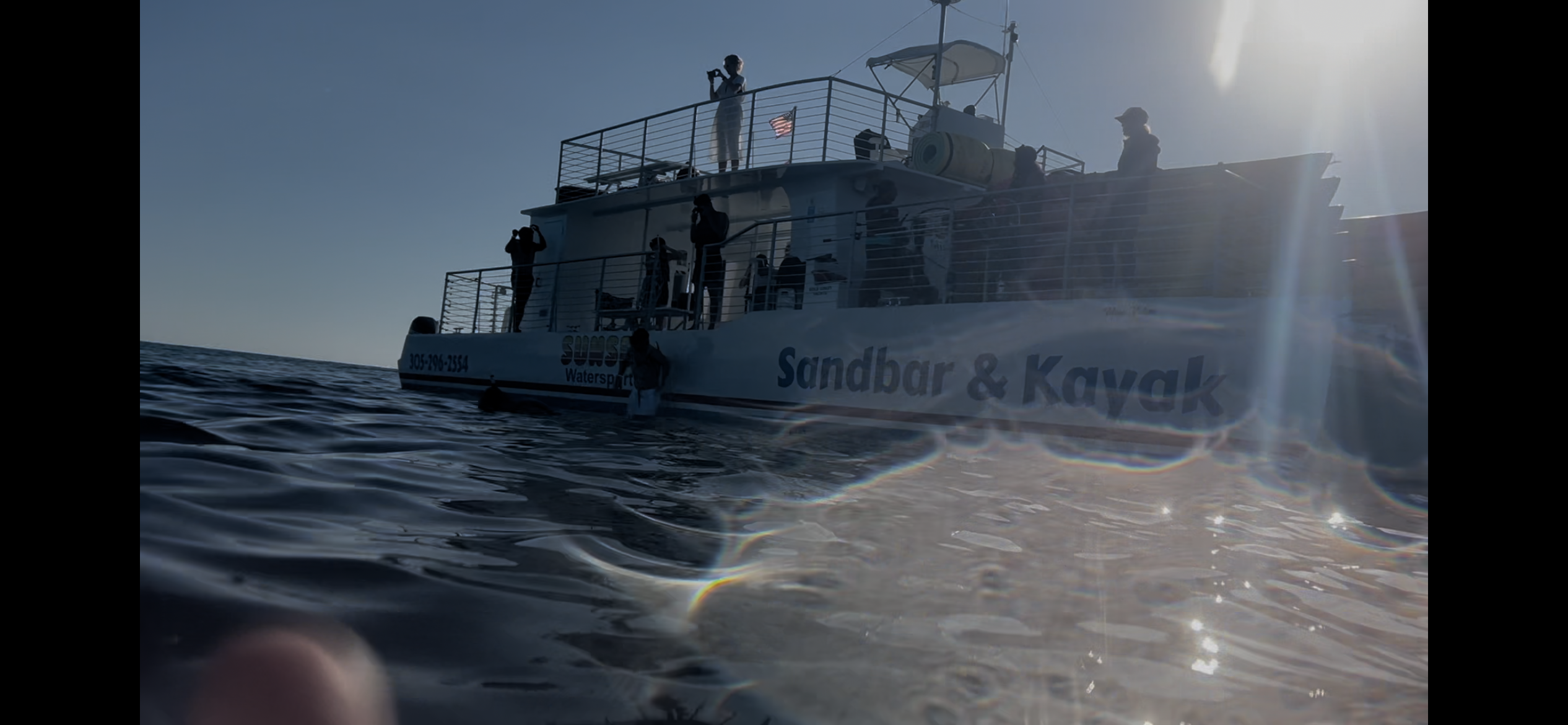
Tuesday morning was to be the highlight of the trip–the proverbial cherry on top. We had reservations to take the Yankee Freedom Ferry over to Dry Tortugas National Park for the day. We packed a day bag and our snorkeling gear and schlepped the five blocks to the docks. Upon arrival, we saw the notice that it was an “Option Day” due to high winds and rough sea. Apparently, we could get a full refund. Of course, I was set to follow the Key West approach to weather: It’ll rain, then it’ll shine.” So we went to check in, and the window clerk laid out all the warnings: Seas with 7-9 foot waves, winds over 20 knots, zero visibility for snorkeling. My heart sunk over the loss of snorkeling, but I was determined we were still going. Plus maybe conditions would improve!? (I understand now, thanks to my scuba-loving boys, that improved winds wouldn’t immediately improve the water visibility…didn’t know that at the time.) When I told the clerk that we were still going, she tried talking us out of it. She bluntly said that those conditions for a 2.5 hour boat ride will have most everyone puking over the edge of the boat. She said we wouldn’t have a good time & would just end up giving the Ferry a bad review. She said we should just come back another day. I agreed we wouldn’t go if we could go another day, but there were no openings in the coming days. She did tell us about going on standby the next day and said they often get at least four standby spots that open up each day, although there was no guarantee. Thom pointed out how I already have motion-sickness issues and I conceded temporary defeat. We resolved to come back the next morning for standby.
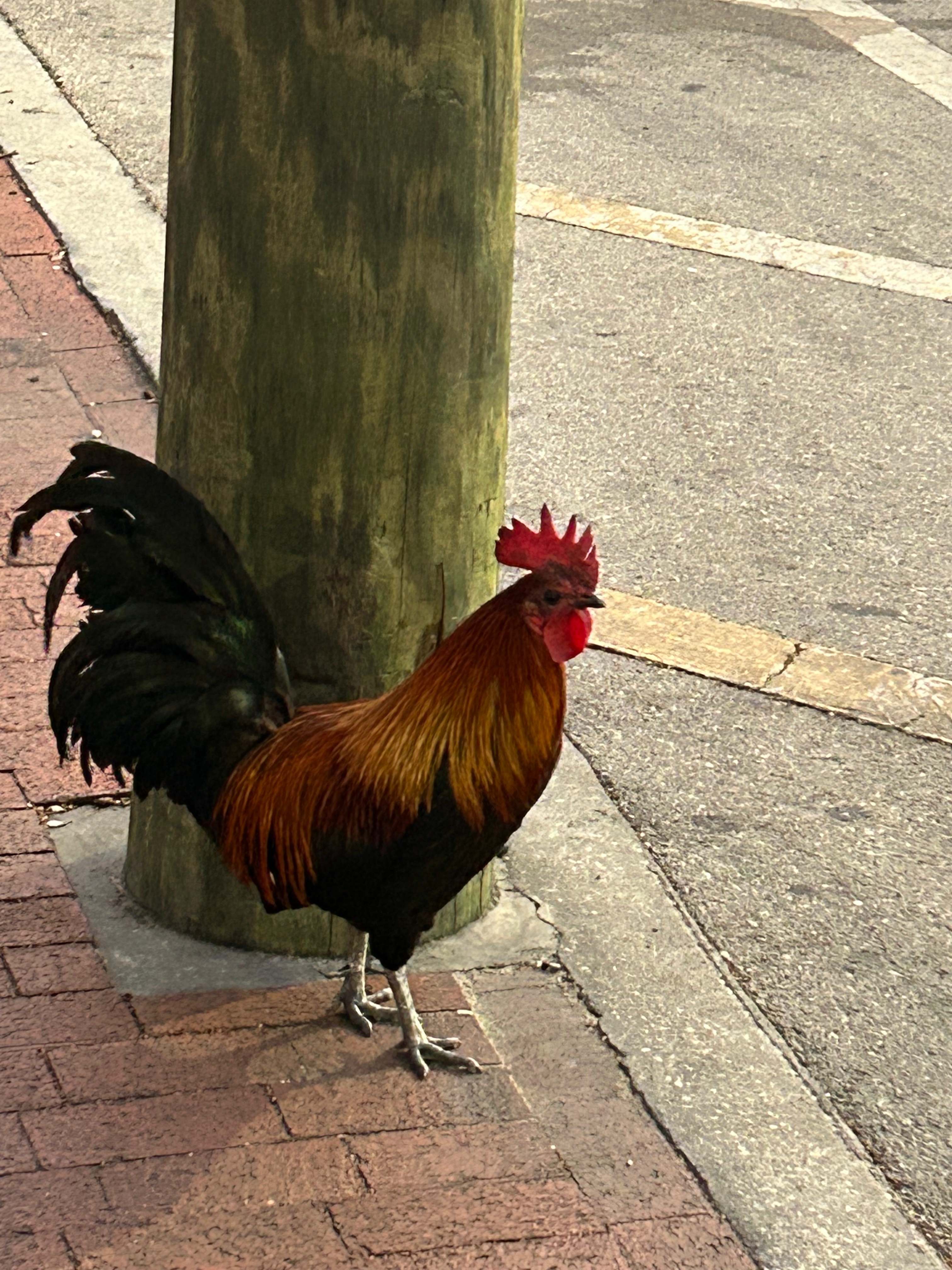
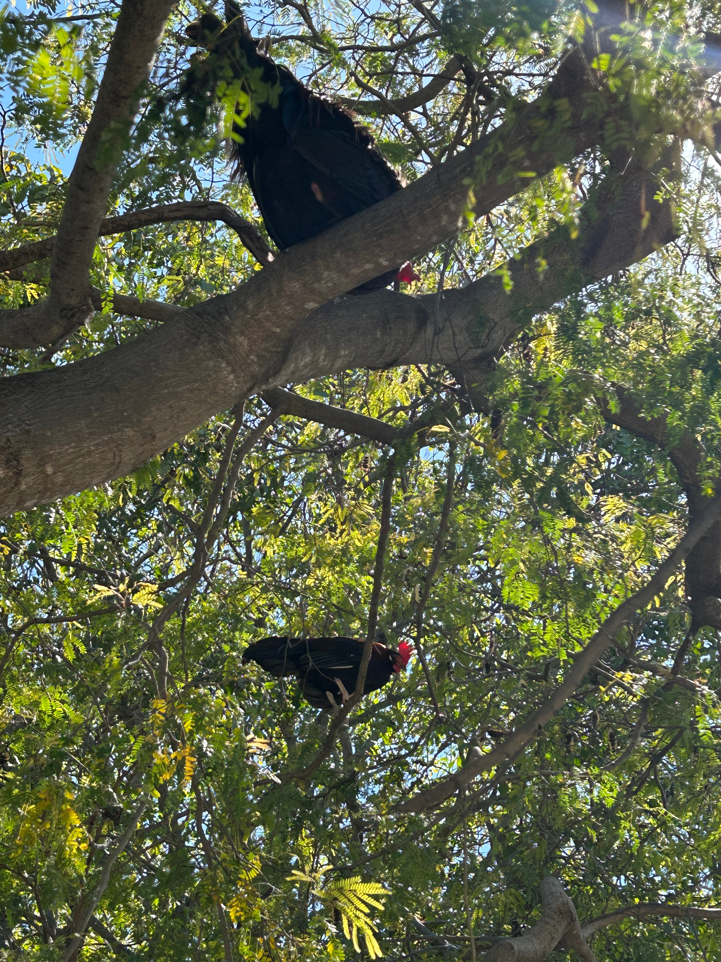
We picked up breakfast from a street vendor and went back to the hotel. After breakfast and some hot tub time, we ventured out with a new plan for the day. We took the Conch Train tour and learned all the highlights of the Conch Republic aka Key West. After the tour, we wandered over to Blue Heaven for a delightful lunch. The best part of lunch was the Mile High Key Lime Pie! We wandered a bit after lunch, in search of the Key West Rooster Cemetery, but somehow we couldn’t find it. We found lots of roosters though (including in the trees). The late afternoon brought cocktails around the pool at our hotel.
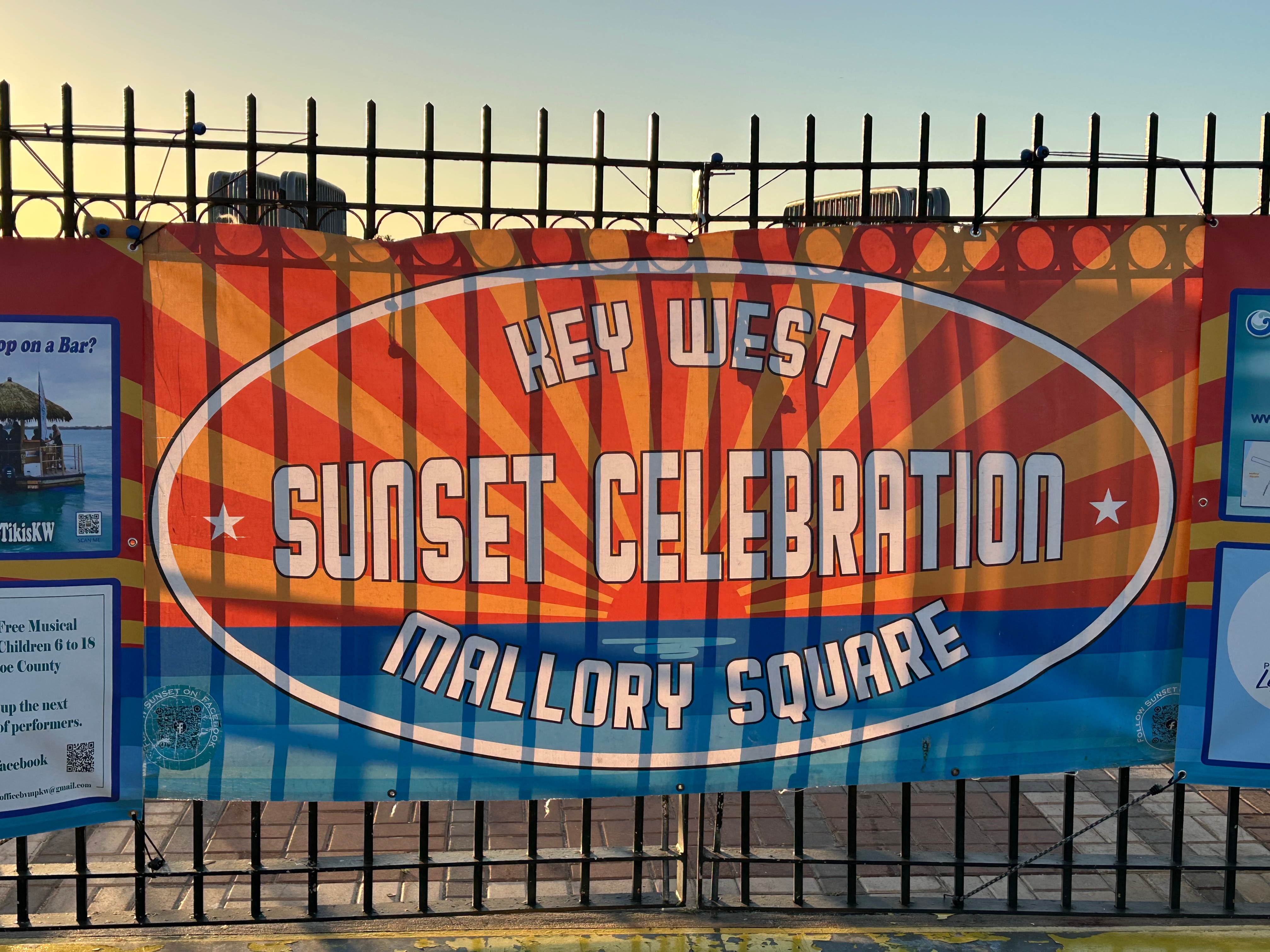
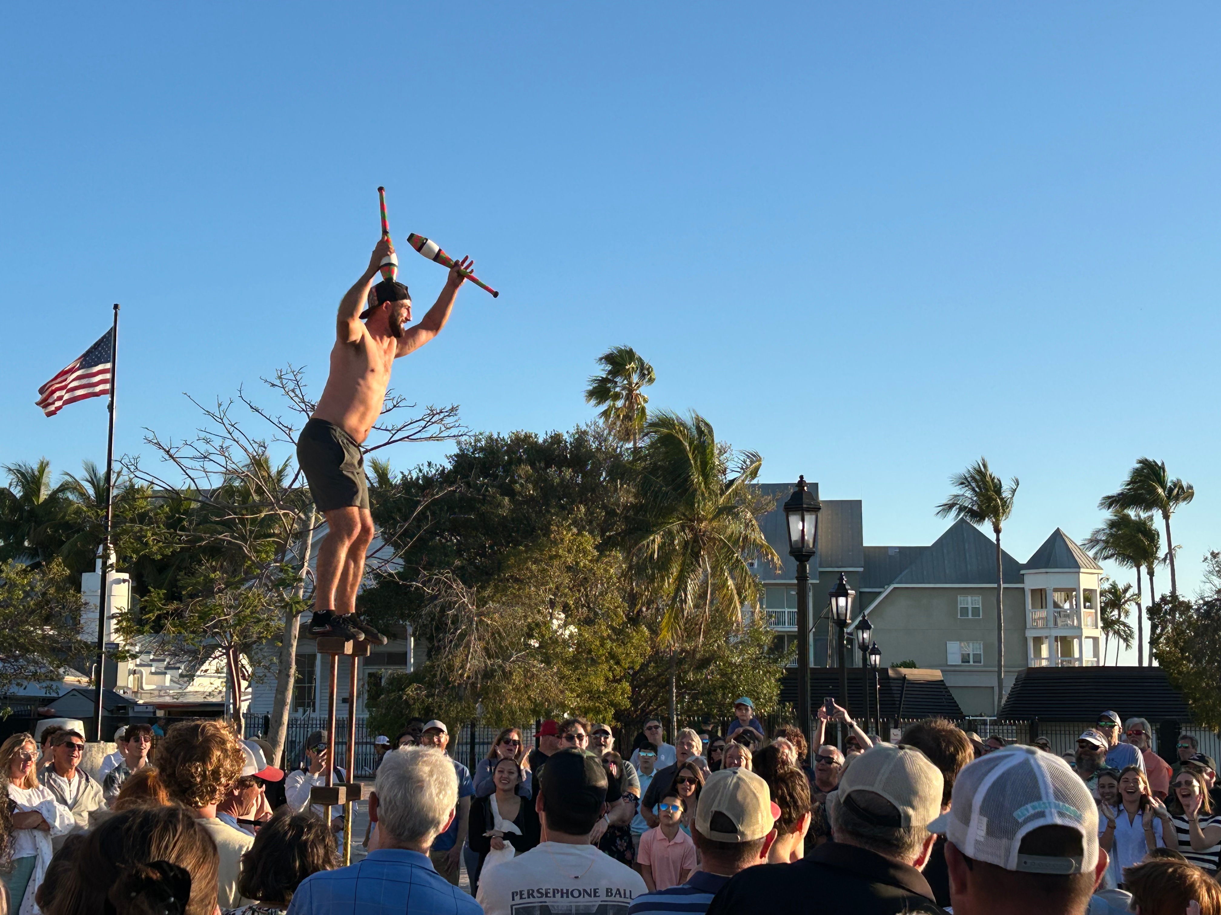
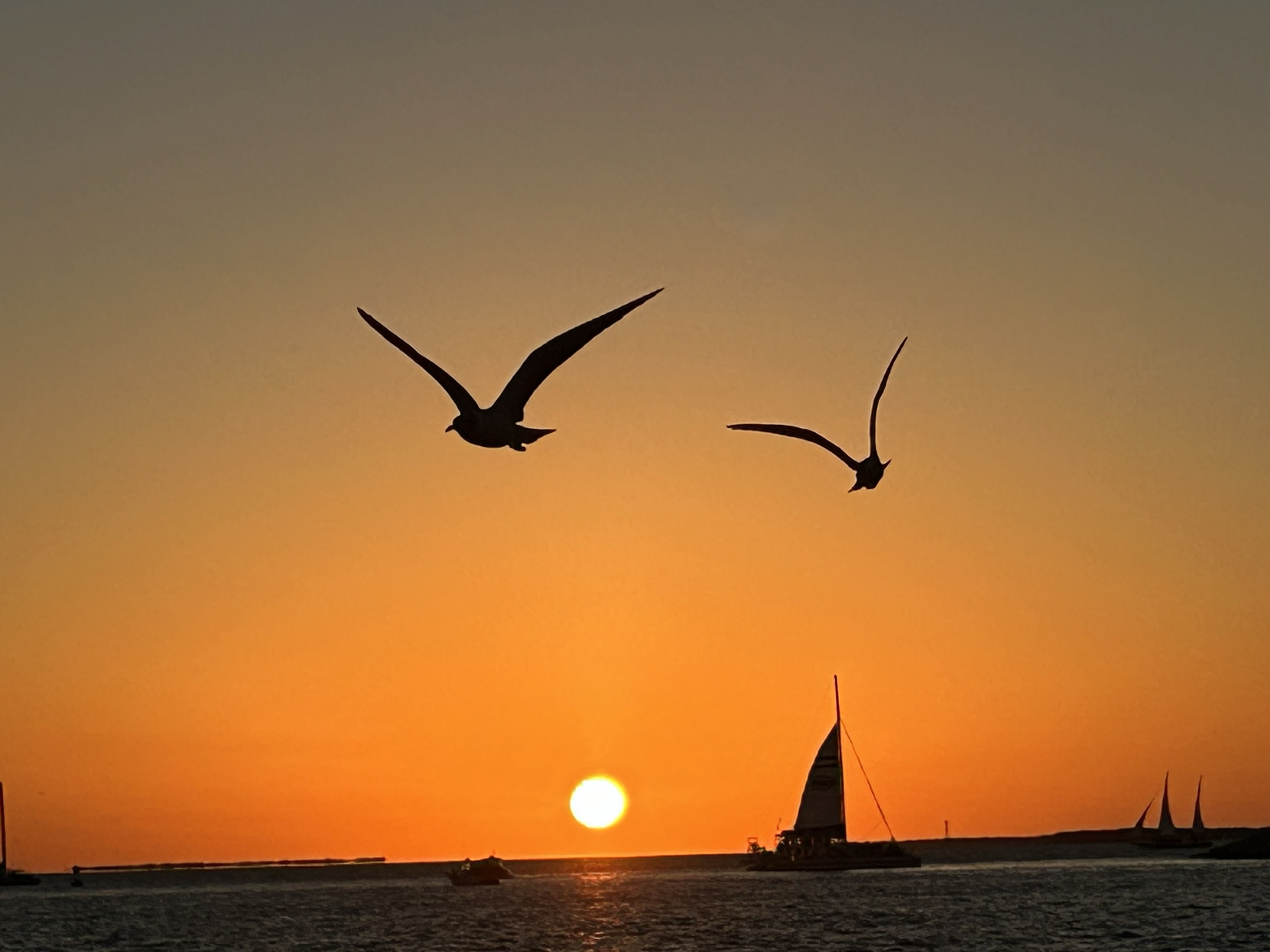
As the day drew to an end, we headed over to Mallory Square to enjoy vendors, musicians, performance artists, and then the big finale of a Key West sunset. Never in my life have I experienced such a sunset (and y’all know I’m a sunset girl). The masses, tourists and locals alike, pushed up to the water’s edge like they were at a concert trying to get a front row seat. The crowd chanted a countdown to the sunset. And when the sun dropped below the horizon, everyone erupted with clapping and cheers. It was a magical moment for sure.
We headed home after that and ordered cuban sandwiches from the highly-rated Sandy’s Cafe, located inside a laundromat. Yeah, we eat at some crazy places. However, they’ve been around since the 1950s, so you know they’re doing something right. It was both the cheapest and most delicious meal of the entire trip. With full bellies, we hit the hay early so we could be the first people in line for Dry Tortugas the next morning.
At 3:45 in the morning on Wednesday, we packed the bags again and made the walk to the docks again. The roosters (who seem to never sleep) were the only ones making noise, save for one lone motorcyclist going down the road. We were told the line for standby started at 4:30am, but we were there by 4:15am. We weren’t the first ones there, but there was only one couple in line in front of us. By the time the regular passengers started checking in at 7, there were over 30 people waiting behind us in the standby line. We went through the boat and park information meetings and waited patiently to be called for boarding. At 8 o’clock, the ferry manager came out and said, “boat’s full–there are zero standby spots”. I stood there dumbfounded for a moment, as it took a moment for his words to sink in. I must admit that I cried right there on the spot. Not a few inconspicuous tear drops, but a full-on, unstoppable stream of tears. I could blame it on the motion-sickness meds or the lack of sleep…I could blame it on the fact that I was crying often about missing my mama; but it was simply the raw emotion of disappointment. We were leaving the next day, so this dream was over (at least for now).
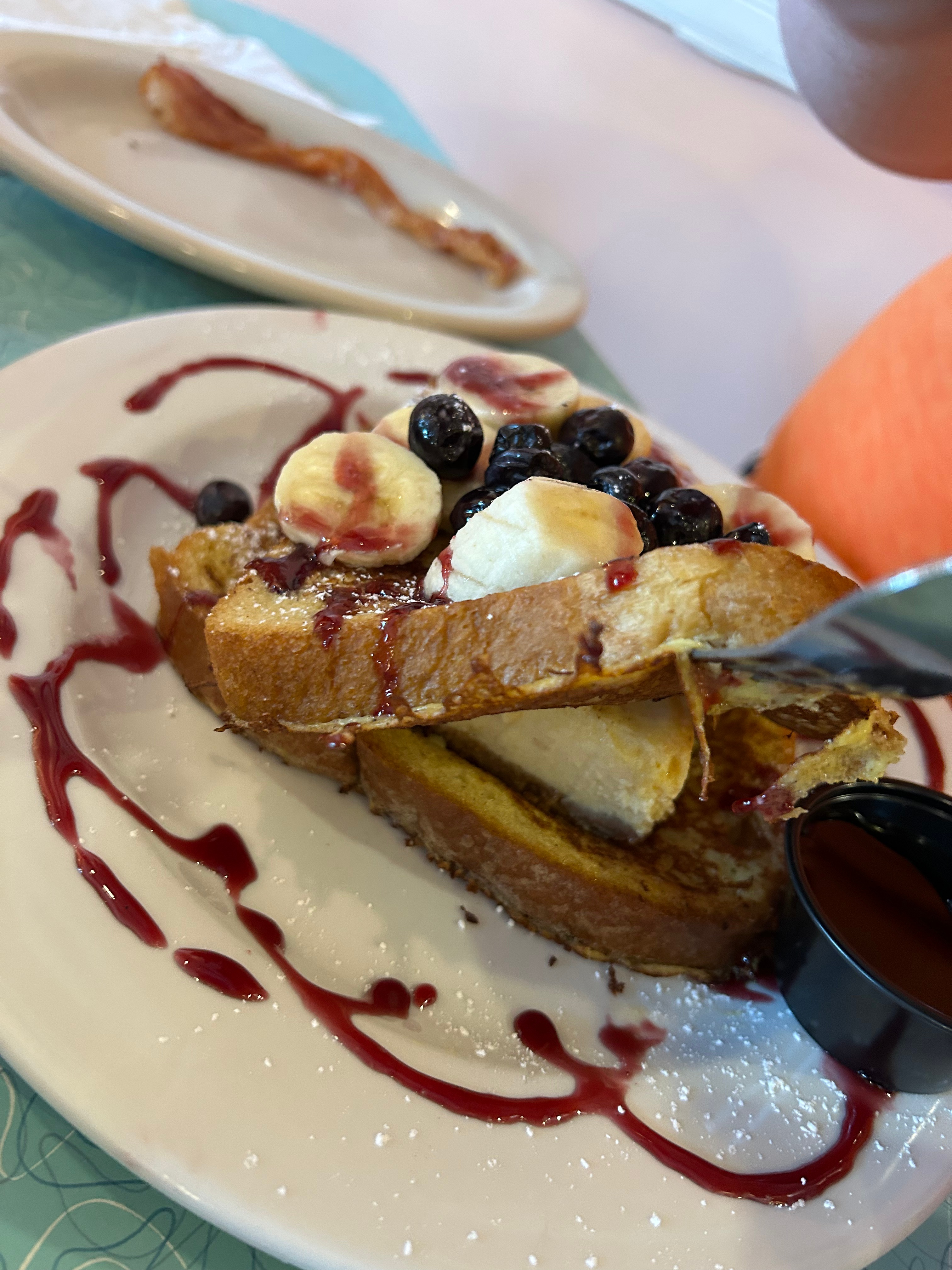
We went to breakfast and I gave it my all to be positive. I wondered if we should’ve just risked it and gone the day before. There was no point in all that; we just had to move forward. All the emotions were just too overwhelming, and I just had to go take a nap after breakfast. (I had to include a picture of our outrageous breakfast–Key Lime Pie Stuffed French Toast!) After a little rest, we made plans for our last day in paradise. We were able to rebook our sunset snorkel cruise (that had been cancelled the first day). We grabbed some lunch and tooled around the Old Town area, shopping and sightseeing. I felt like some of my DragonCon kindred spirits were in Key West with all the googly eyes on things! We had a late afternoon Key Lime Pie stop with Kermit before boarding our boat.
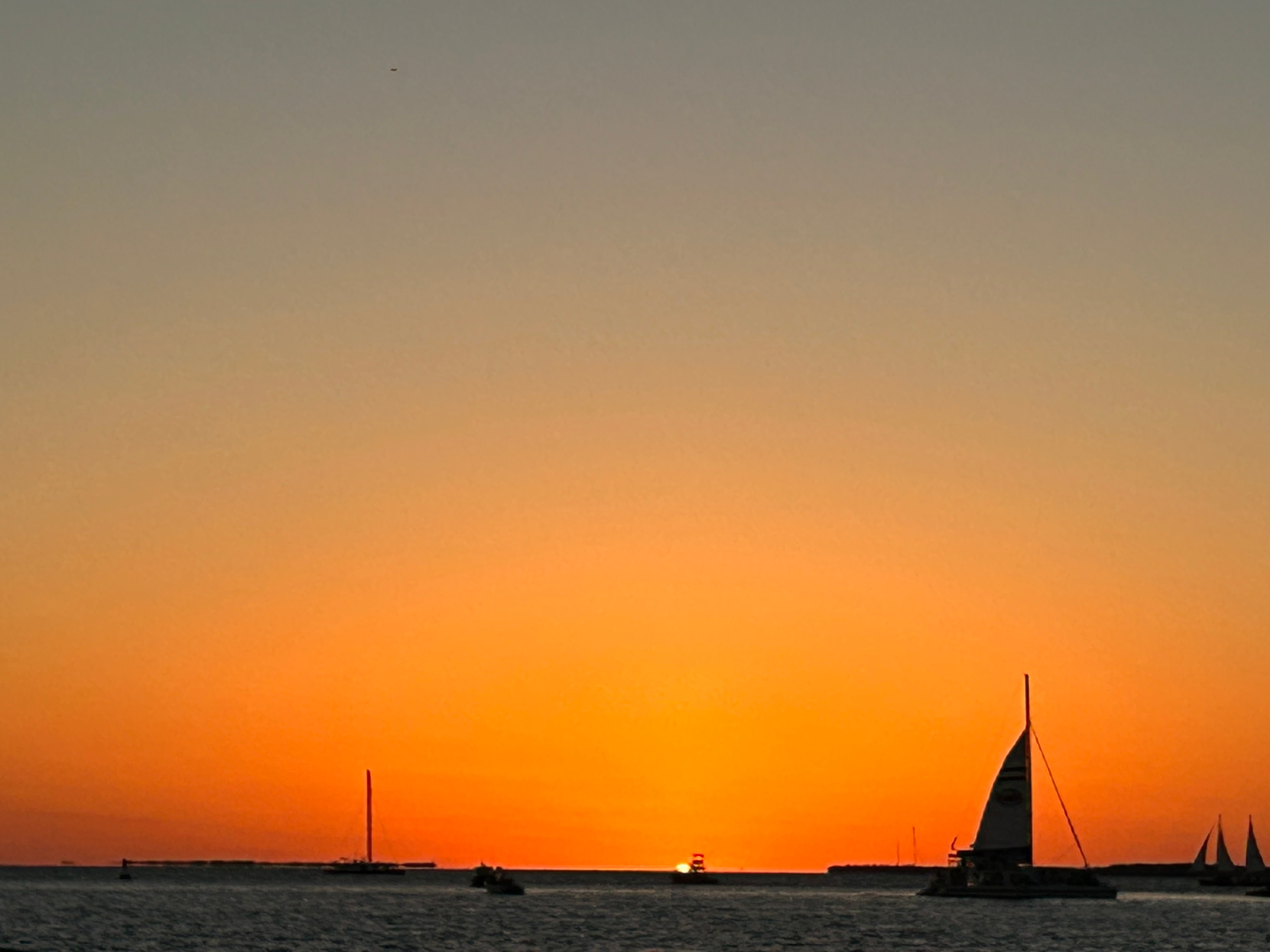
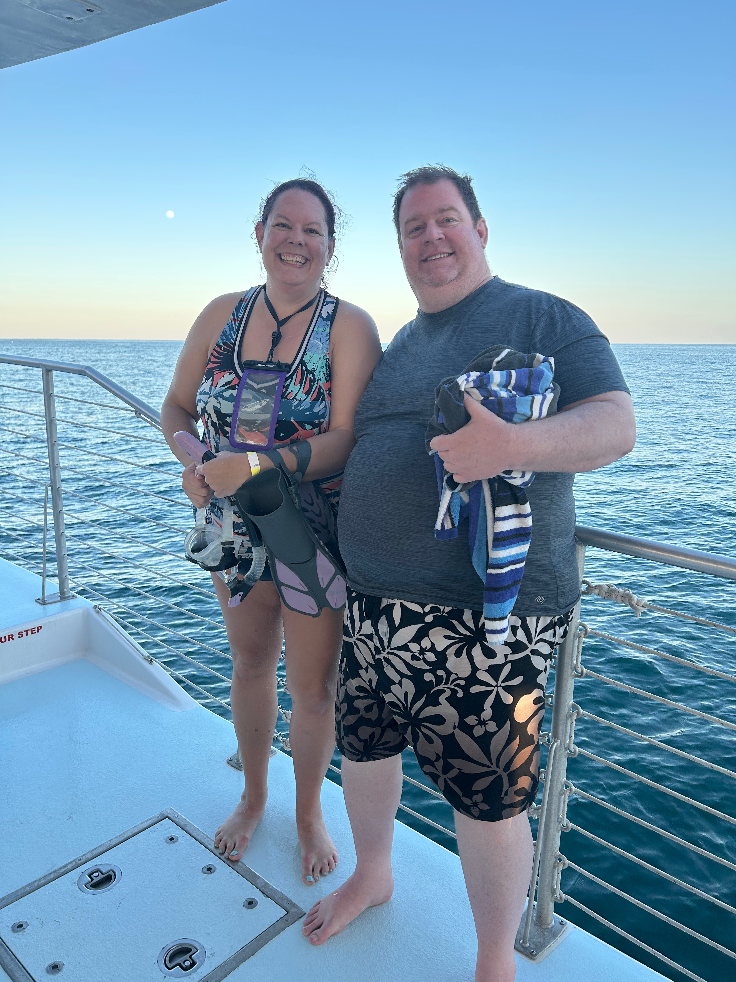
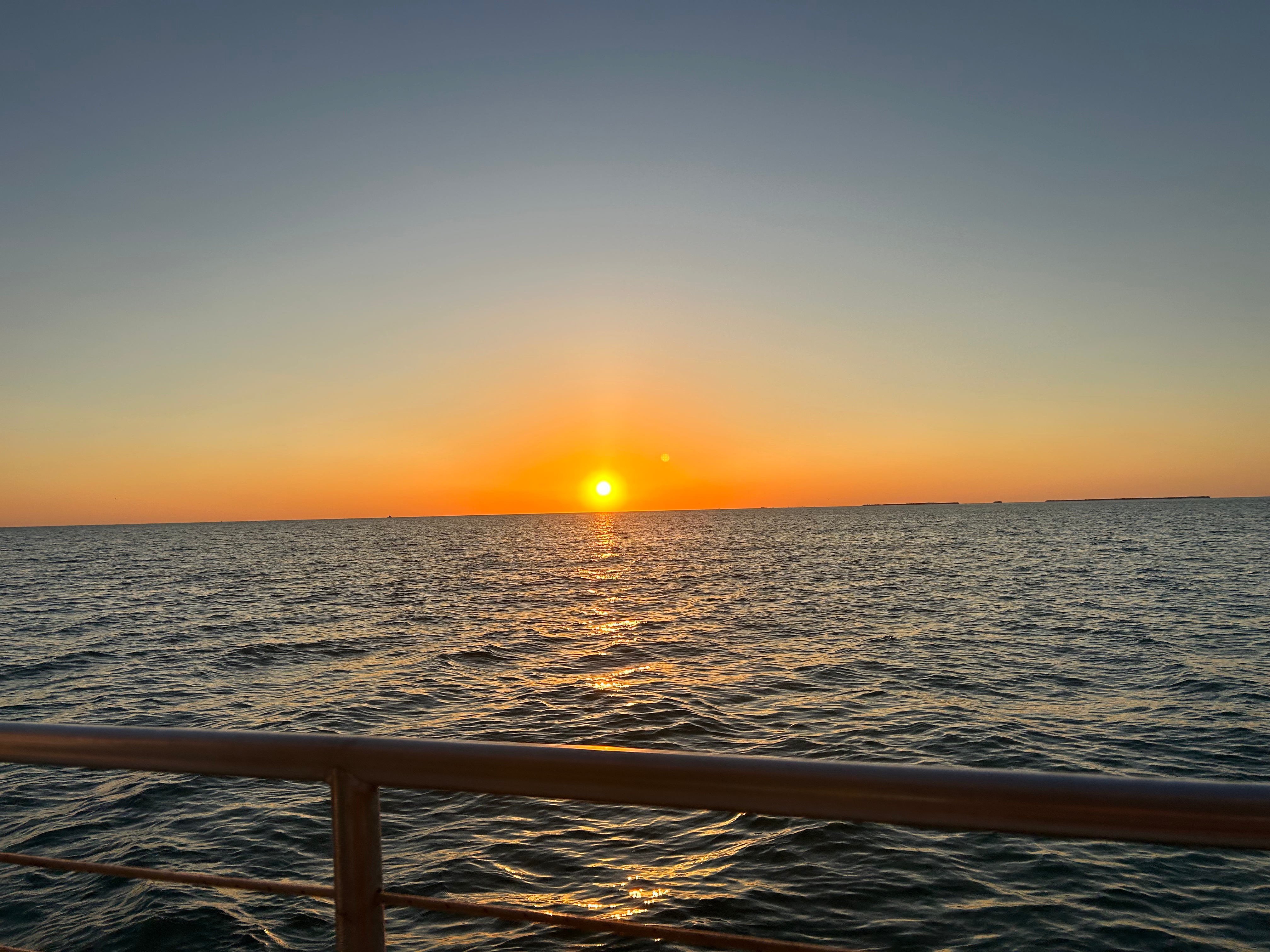
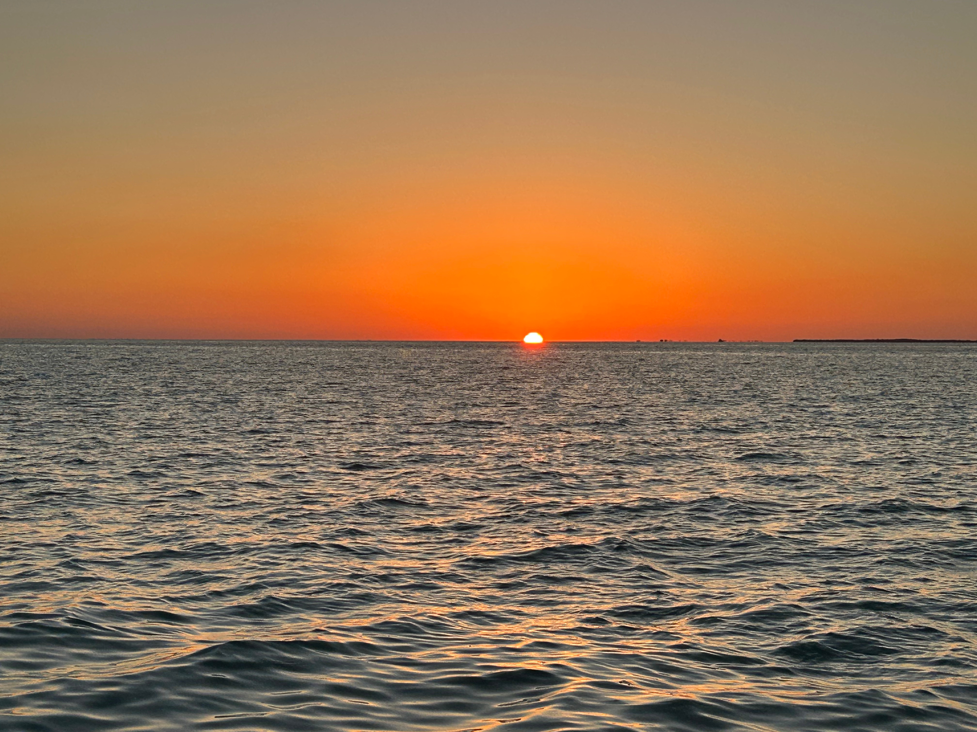
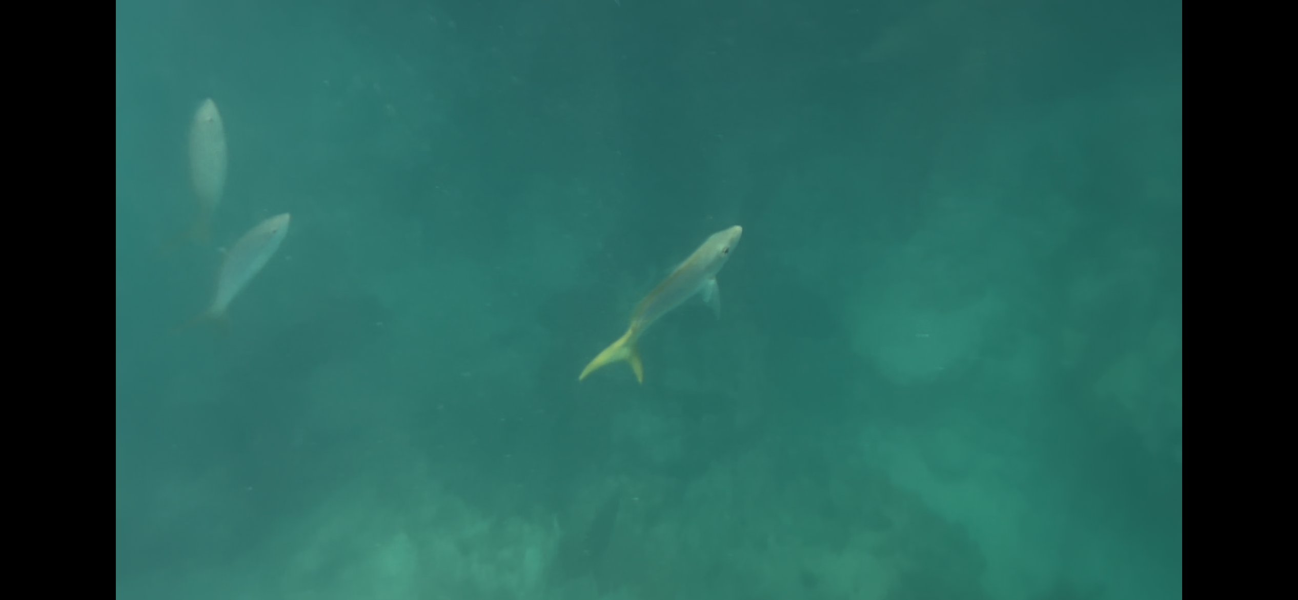
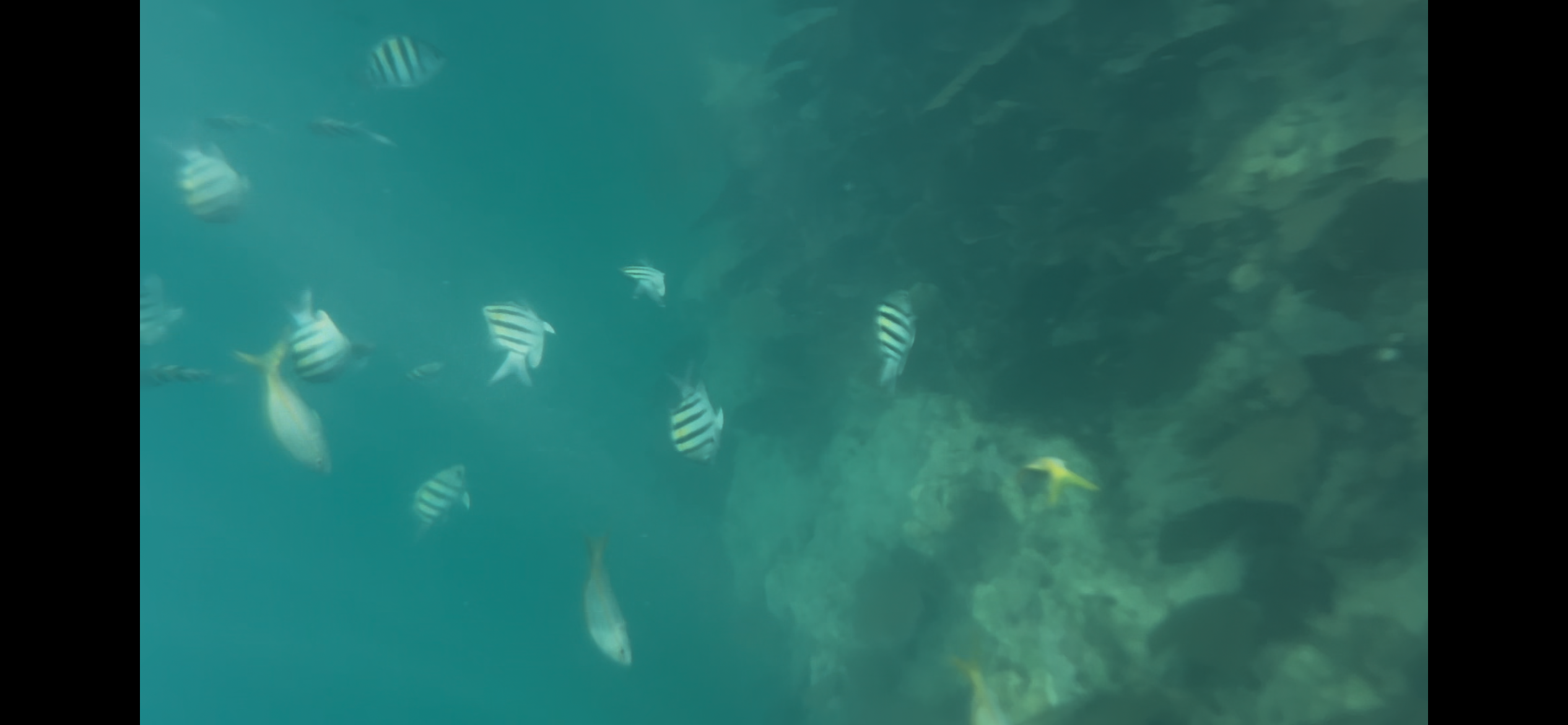
On the way out, we passed the boat coming back from Dry Tortugas–I did my best to brush that off and not let it get me down. The boat took us out to two spots for snorkeling and we saw so many cool underwater creatures. My phone in a waterproof case didn’t take the best pictures, but it’s what I have. After an hour of combined snorkeling, the boat turned back towards Key West. We had drinks and watched the sun drop lower and lower into the sky. While this sunset didn’t have the same fanfare as Mallory Square, it was still exciting and beautiful. At the last moment of sunset, we were blessed to witness the rare green flash. Everyone cheered and toasted one another, making it another joyous moment in the Keys.
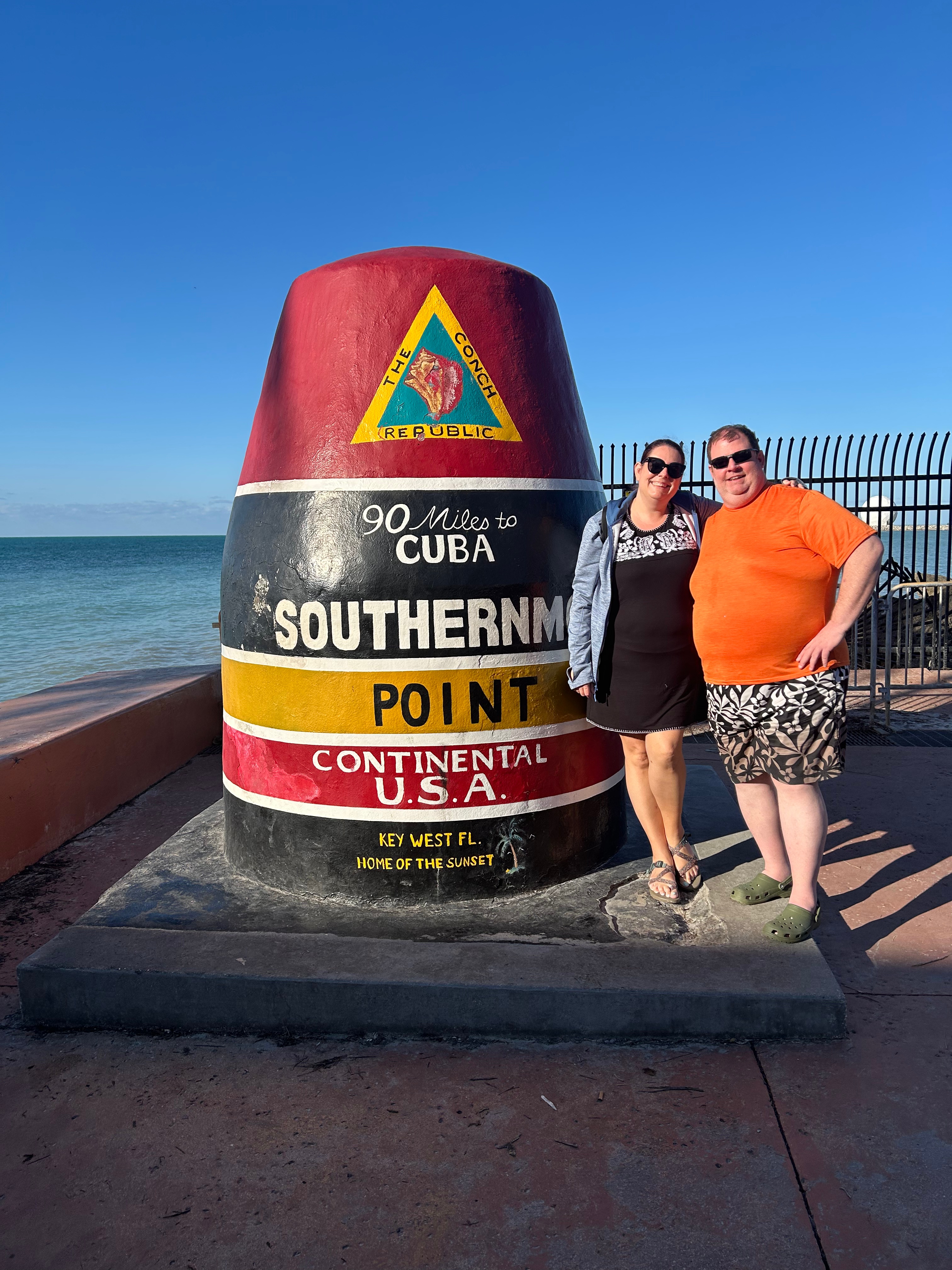
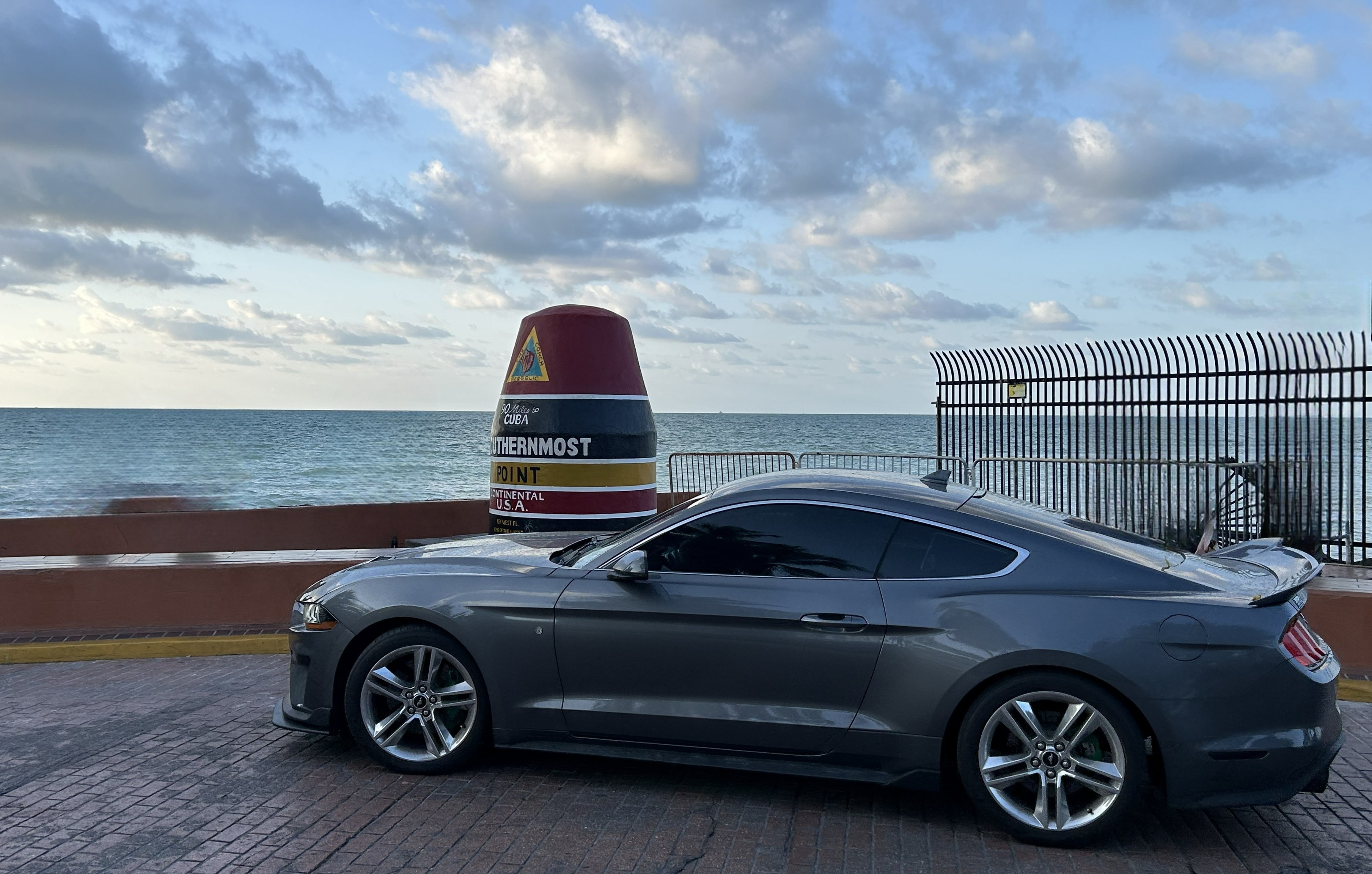
After dinner and walking off the unlimited boat drinks, we had a quick night swim and got packed up for travel the next day. When we left on Thursday, we had to return to one spot for an different photo at the Southernmost Point. Okay, let’s be honest for a minute. This is NOT the southernmost point. Even from just the touristy Southernmost Point, you can see land that is further south. But I digress…we’ll just pretend and have fun. It was comical how many things in that area were the southernmost fill-in-the-blank. Southernmost hotel. Southernmost bar. Southernmost beach. And so on. So, we decided to get in on the action and have the Southernmost Mustang. ;)
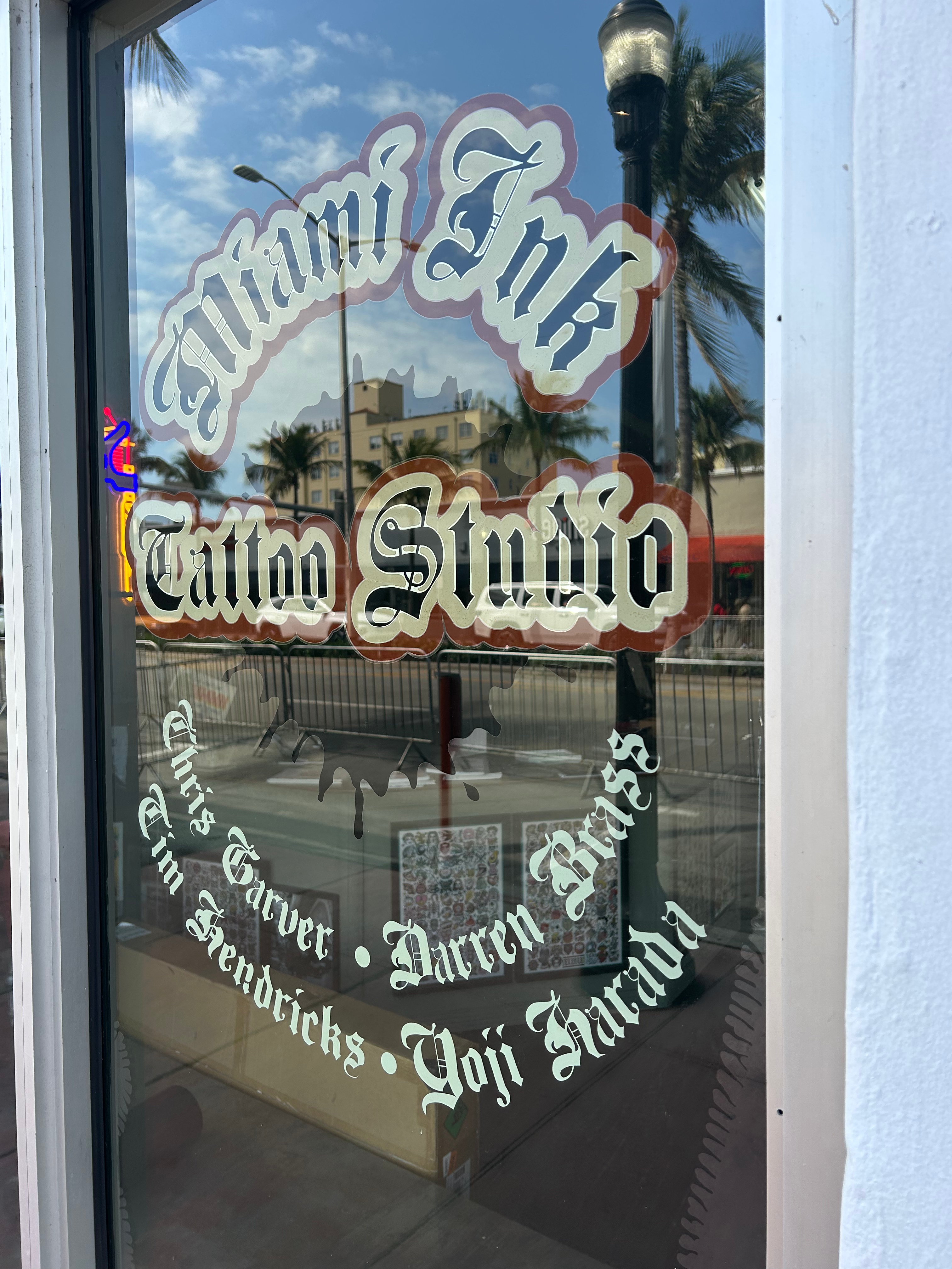
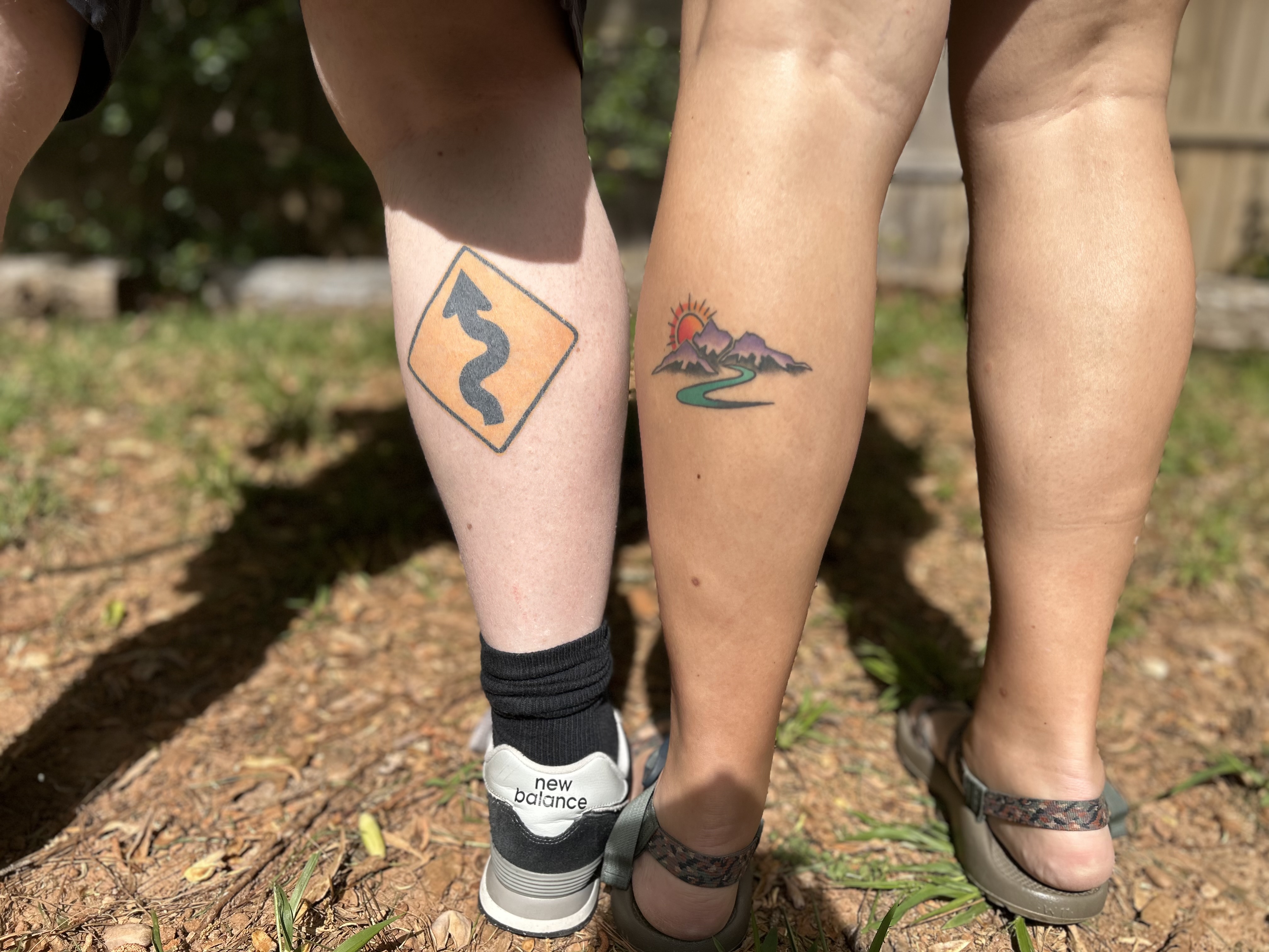
Our drive on Thursday, featured all the sights of the prior Overseas Highway but in reverse. We didn’t make any stops, as we were on our way to South Beach, Miami for a tattoo appointment. Long ago, we watched & enjoyed the show “Miami Ink” and had vowed to get tattoos there if we ever found ourselves in Miami. So off we went to Miami Ink (now renamed “Love Hate Tattoos”) to get new ink. We originally talked about doing matching tattoos and decided it needed to reflect our times together driving the curvy roads and watching sunsets. Thom decided to get the Caution-Curvy Road sign. I thought about that and even thought about a play on it (the extra crazy one from “Pee-Wee’s Big Adventure”). In the end, I decided I didn’t really want a road sign on my leg, so we adjusted the plan to have thematically-matching tattoos. I went with a curvy road leading into a mountain sunset.
Thom’s experience was pretty straightforward. He showed them the sign art, and they blew it up to the right size. My experience was a little more comical. I had some art with the road and the mountain and knew the colors I wanted it to be, but I needed the sunset to be added in. I told my artist’s assistant to add in a setting sun between the two mountain tops. She came back with a tiny, flat sun. I said, no, it should be bigger, like when the sun sets. She came back with it only a little less tiny. I further clarified this time, it should be like sunset in the mountains. She shrugged and said she’d never seen a sunset in the mountains. So, she grabbed the artist, and he immediately mocked up a good picture. He laughed and said the sun looks different when it sets over the ocean.
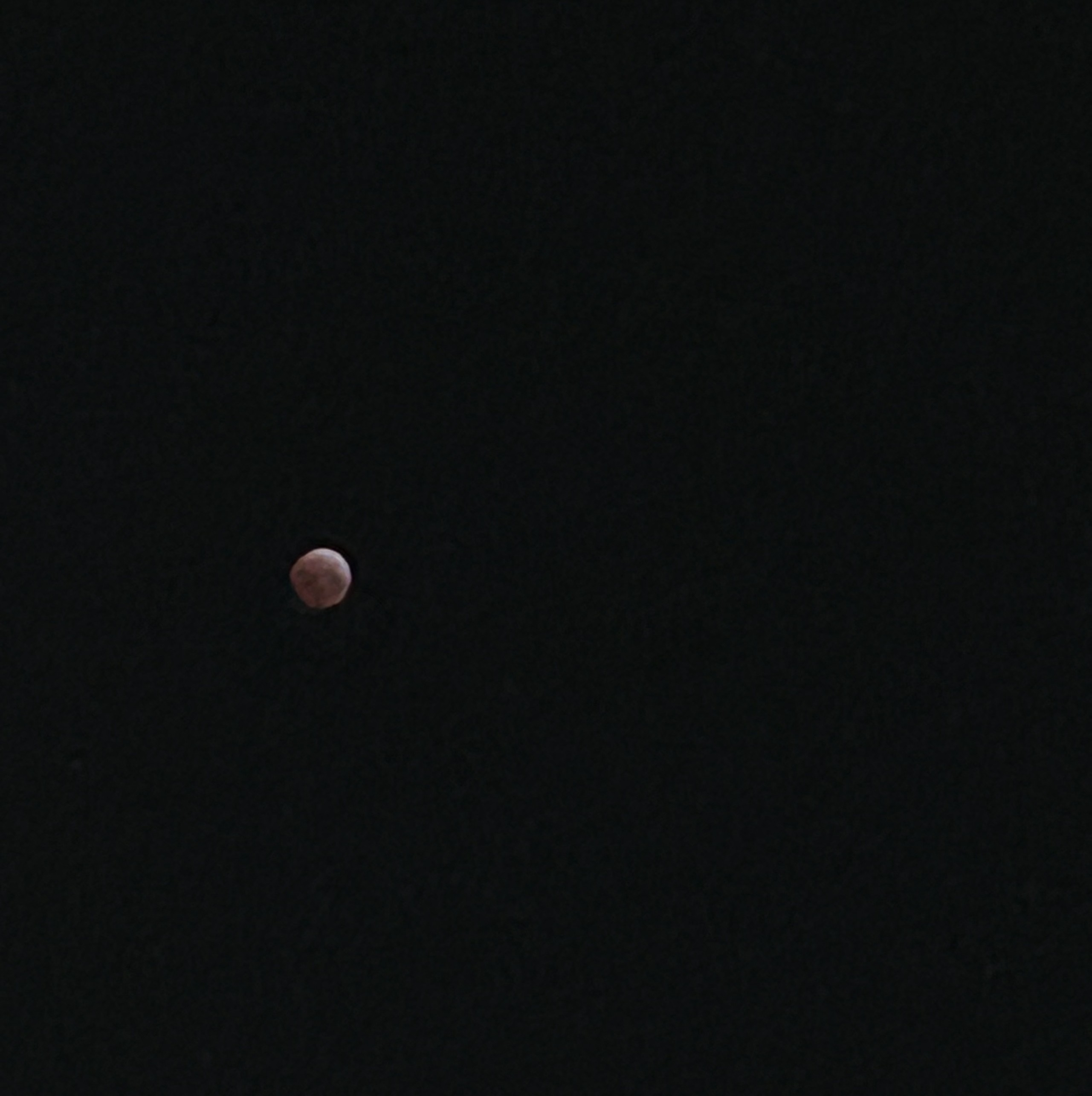
Tattoos complete, we proceeded over to the beachfront. After grabbing some drinks, I ditched Thom in the shade and went for a walk on the beach. With my sun meter filled, we toured Miami on the way to our hotel in the Coconut Grove section of town. There was nothing special about the hotel, but we did set an alarm to get up in the night to go out to see the lunar eclipse. We had the hotel parking lot to ourselves, other than the security guard who wanted to know what we were doing. We didn’t stay for the whole eclipse, as it had been a long day at the end of a busy week…but it was cool to catch a little of it.
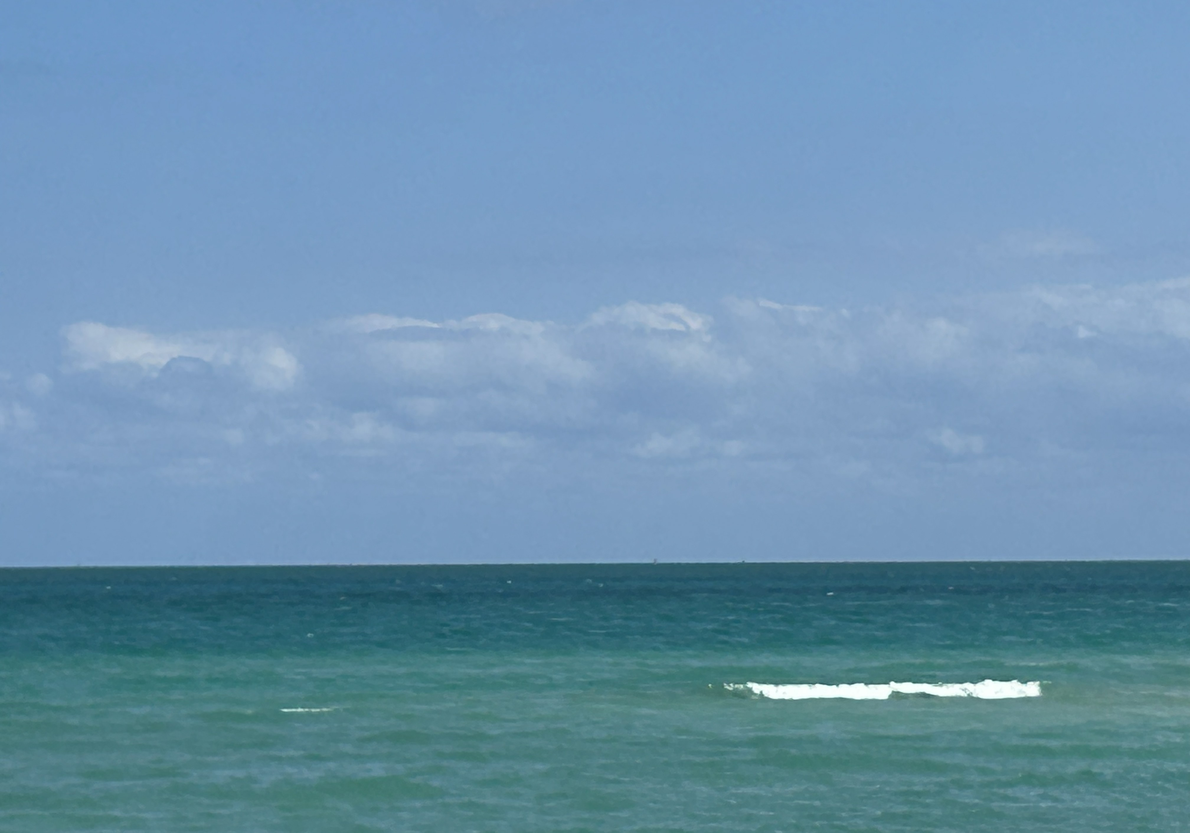
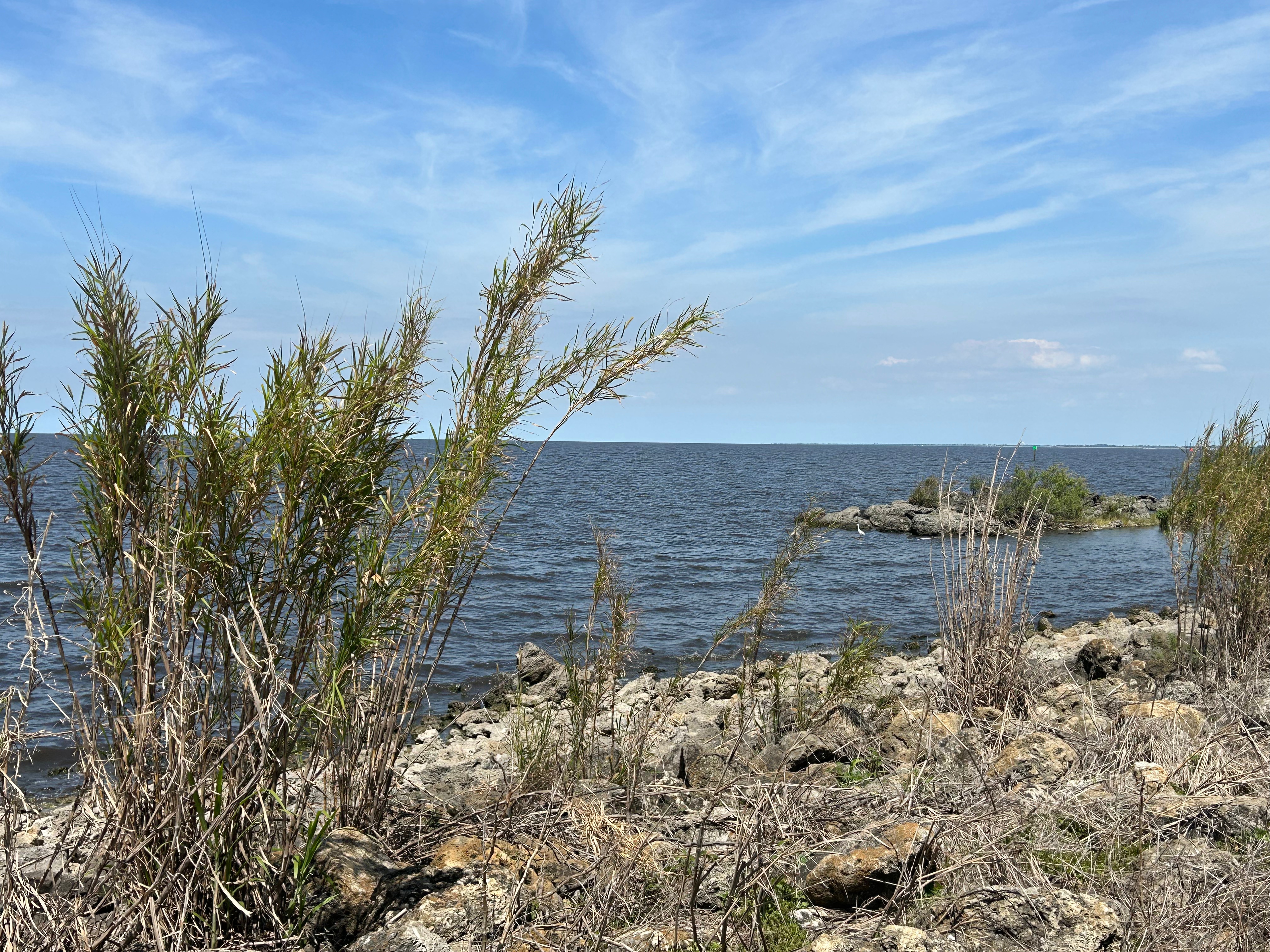
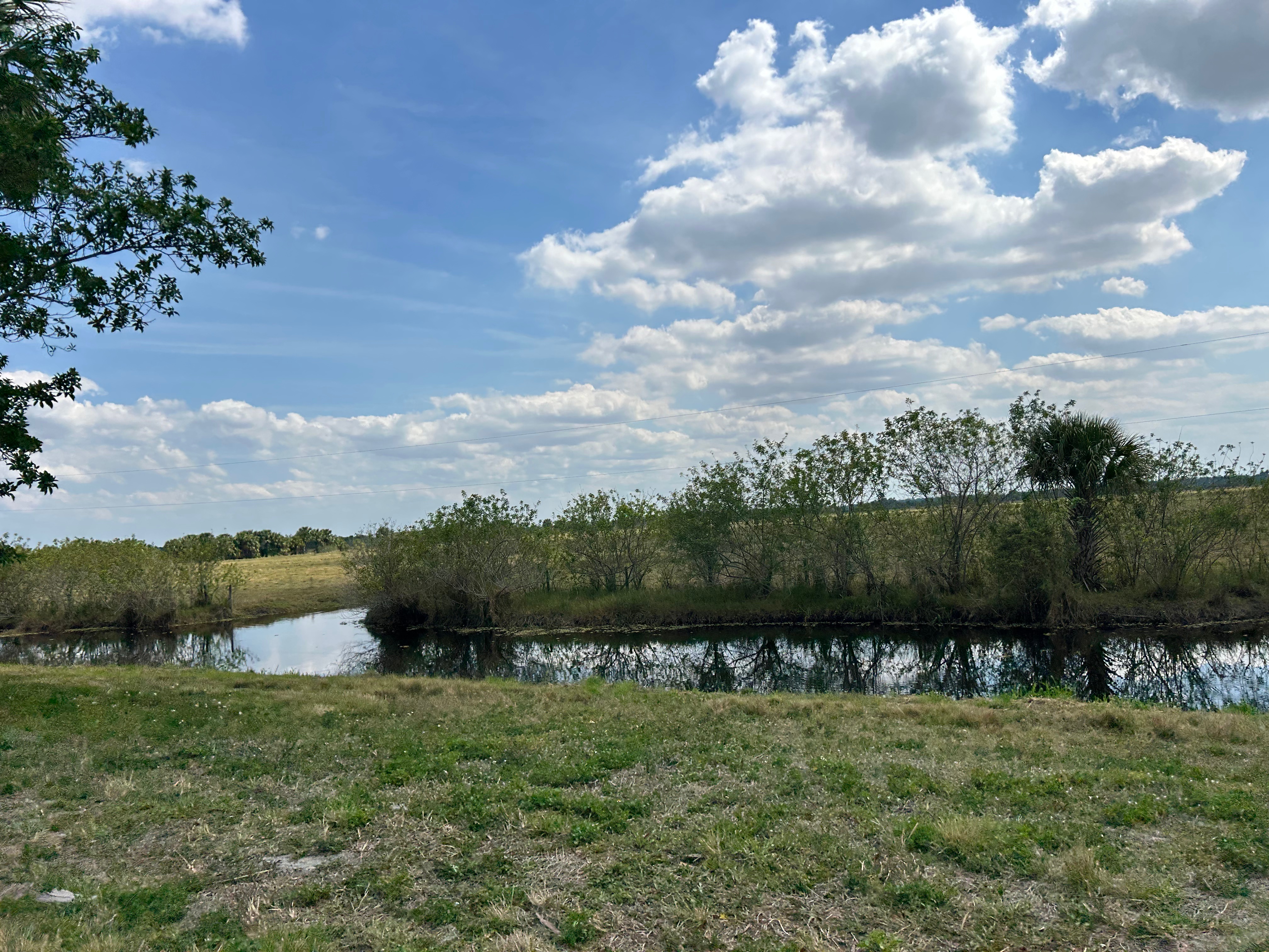
Friday morning, we hopped back in the car to start the journey towards home. We decided to drive the Citrus Highway (US 27) to check out middle Florida, and it was pretty cool. There was the all-familiar canal running alongside the road and filled with wildlife. There were all sorts of farms, including some busy with sugar cane harvesting. As lunchtime approached, we took aim for Lake Okeechobee for a scenic picnic spot, and it was all we’d hoped it would be. Our particular stop was at the Canal Point Recreation Area. The lake looked more like an ocean, and we had the place to ourselves most of the time. We lunched to a soundtrack of waves lapping the shore and birds calling out to one another. Before getting back on the road, Thom took a nap in the shady picnic area, and I wandered the shoreline soaking up the sun and listening to the bits of sound carried to me by the wind.
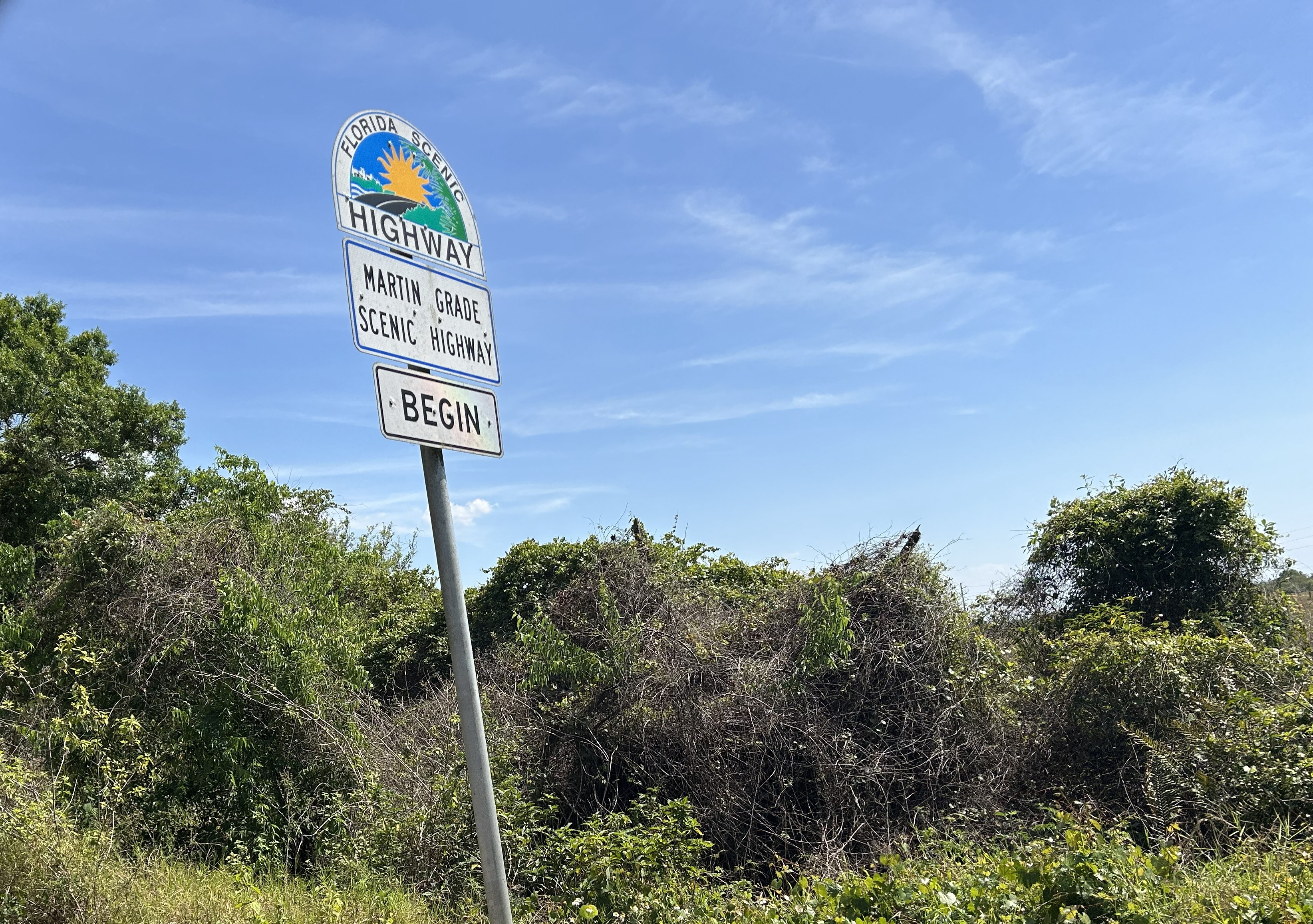
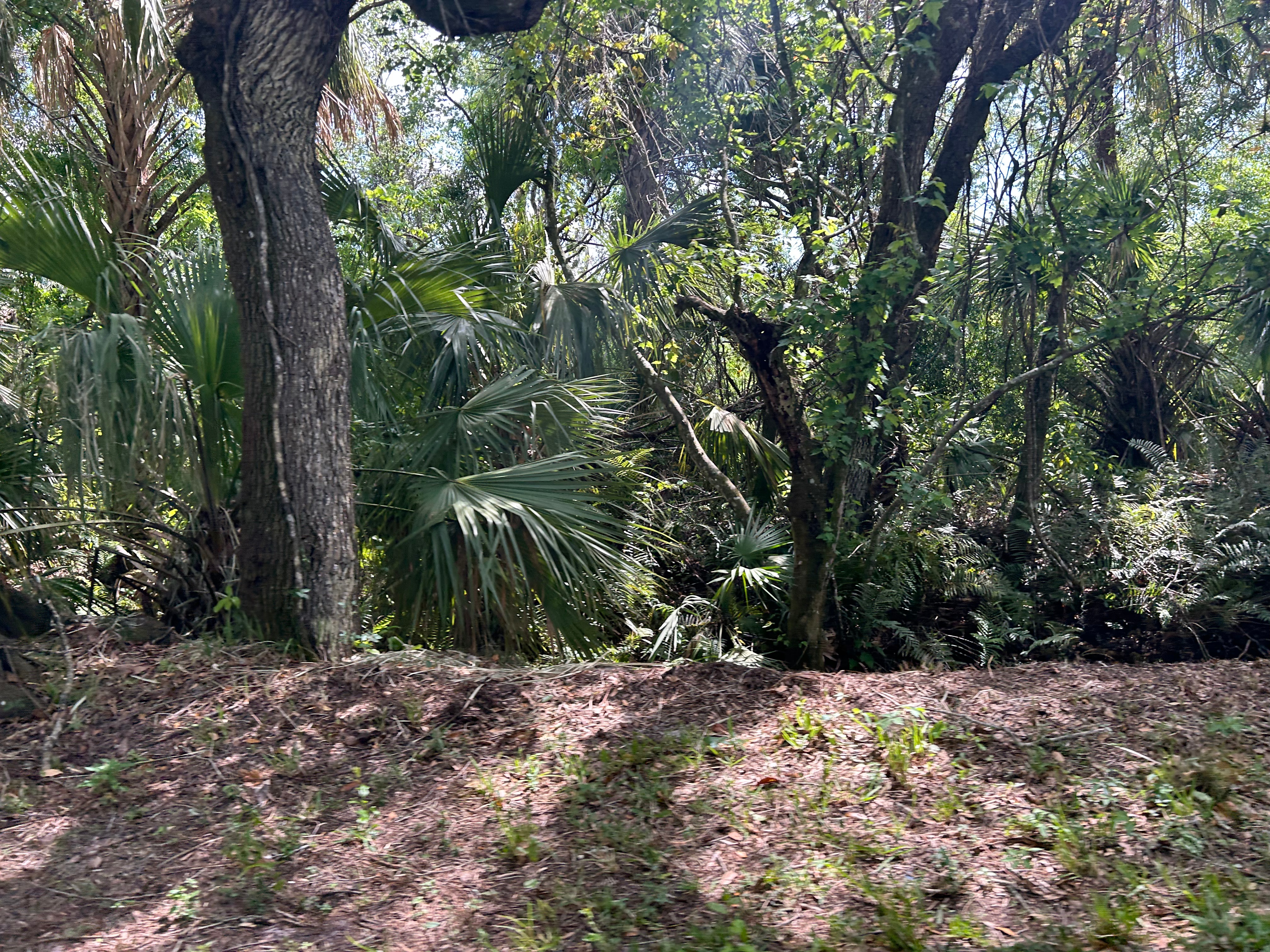
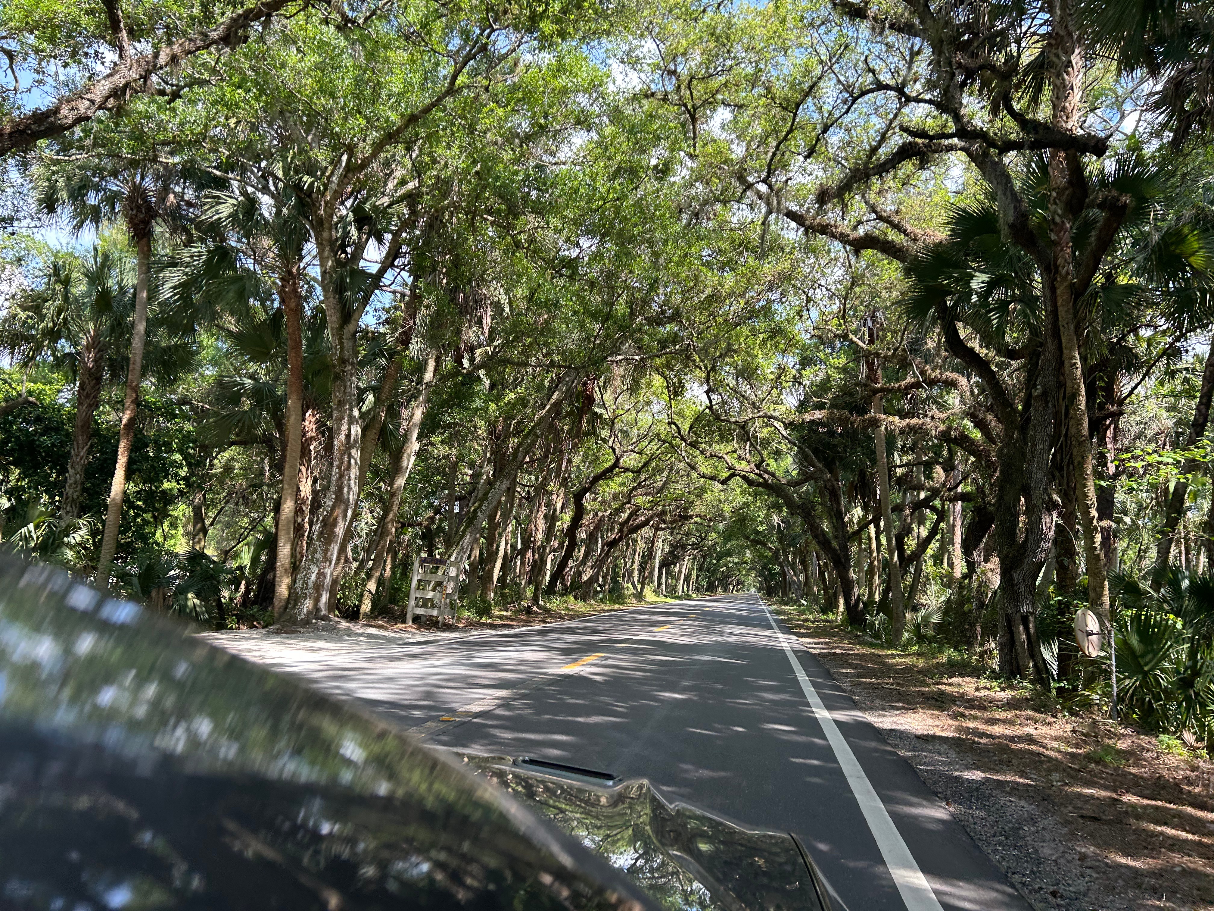
After lunch, we drove The Grade, aka Martin Grade Scenic Highway. This 12-mile drive was beautiful from start to finish. We cut in and out of dense tunnels formed by tree canopies with passing glimpses of orange groves, wetlands, and pastures. This might be the only road where cars were passing us…we had the Mustang in savor-the-view mode.
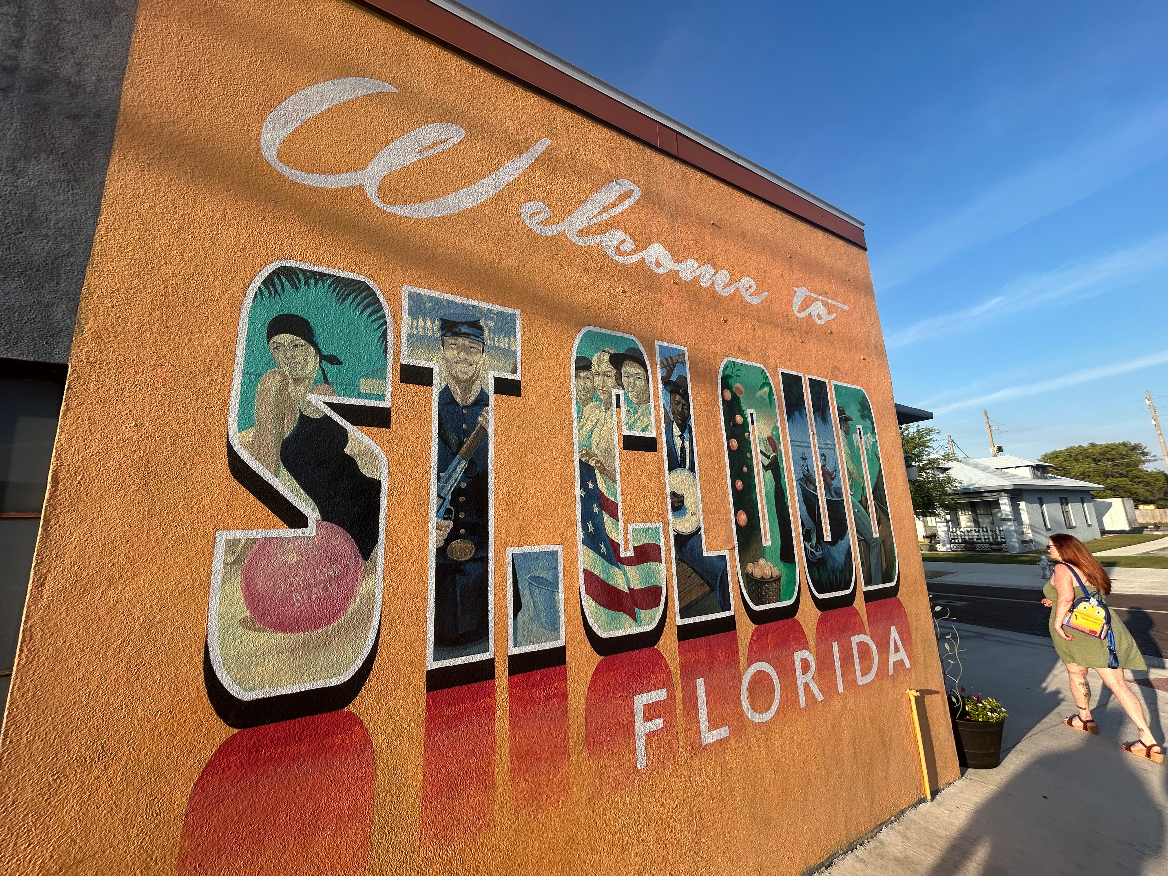
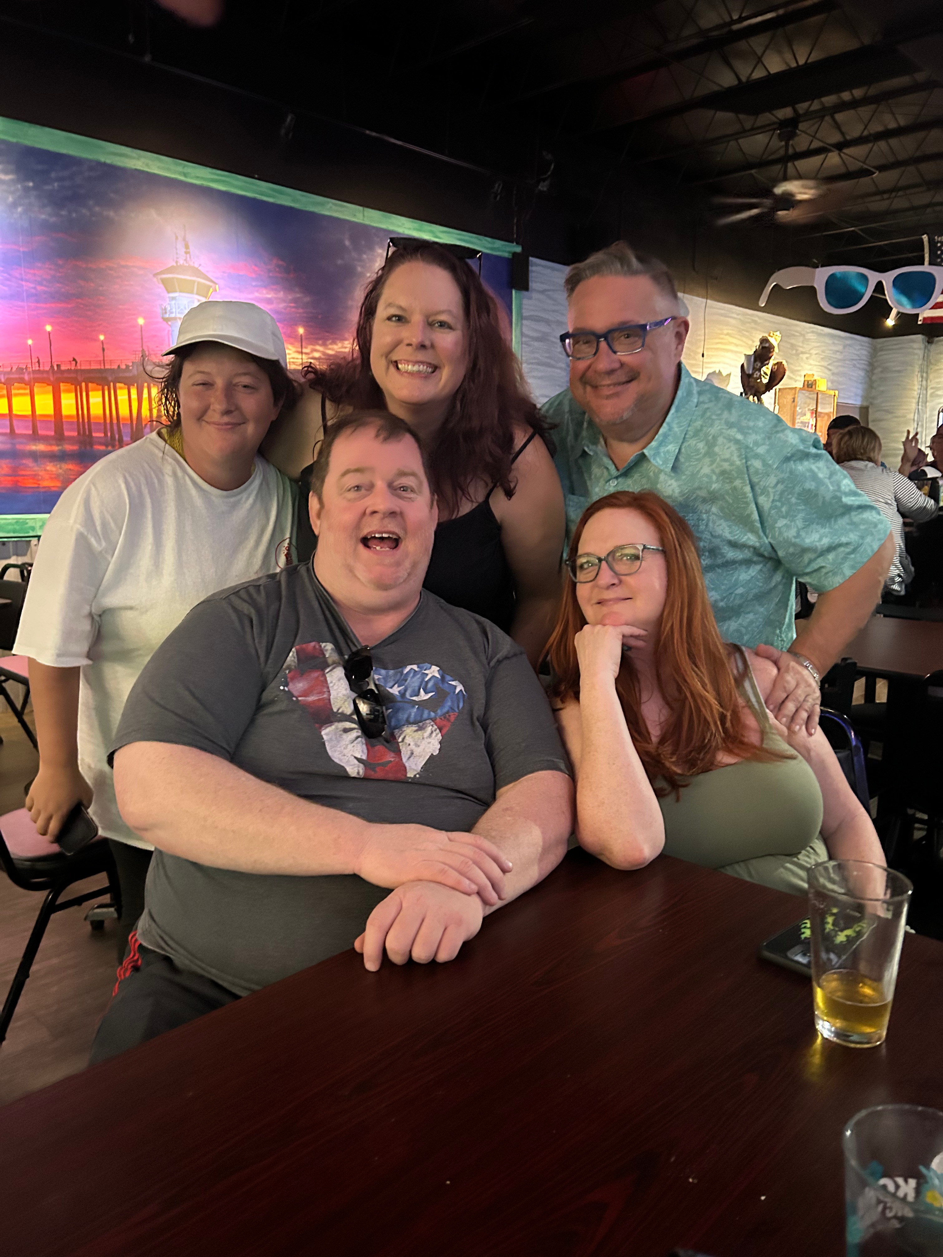
We ended the day with family in St. Cloud. Tiny & Cory treated us to drinks and dinner (and Kayley joined us!), plus we got to see a SpaceX launch from afar. It was great to catch up with them, and experience a little bit of their local life.
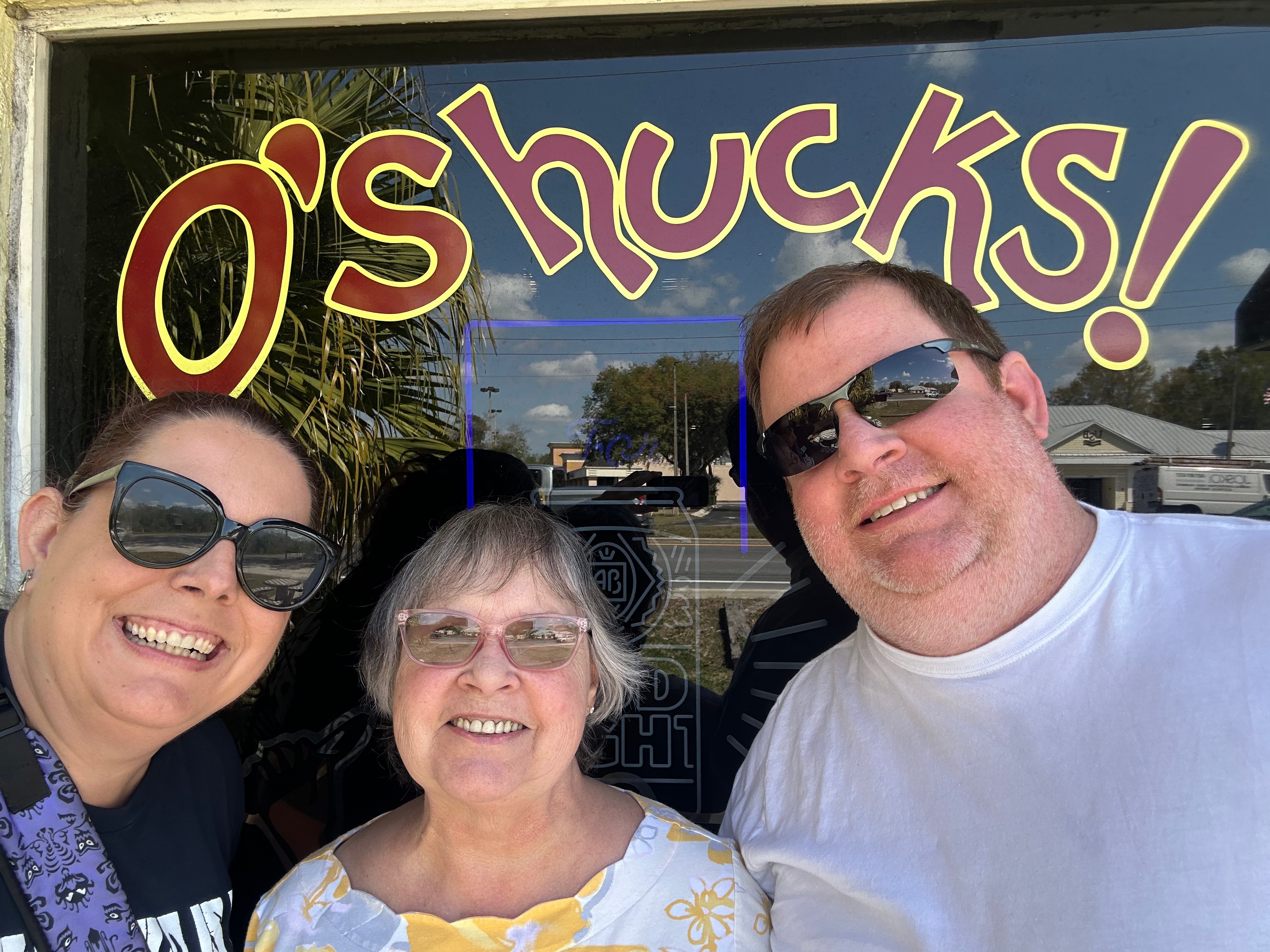
Saturday arrived and it was sadly time to get home. We stopped for lunch with Debbie in the Villages to fill up on oysters and fish. We had a great visit, but eventually had to say our goodbyes and make the long drive through Georgia and the ever-present Atlanta traffic.
All said, our trip clocked in right at 2000 miles. Despite there being zero mountains or curvy roads from Georgia to Key West, we enjoyed the trip thoroughly. It was both hard and good, as I thought of my mama through so much of the trip. There were certainly a fair share of disappointments, but we mostly pivoted well and made the most of things. The only negative is really the same negative as every trip–not enough time. Maybe someday we’ll both have remote-work jobs at the same time, and we’ll just live and work on the road. That’s the dream.
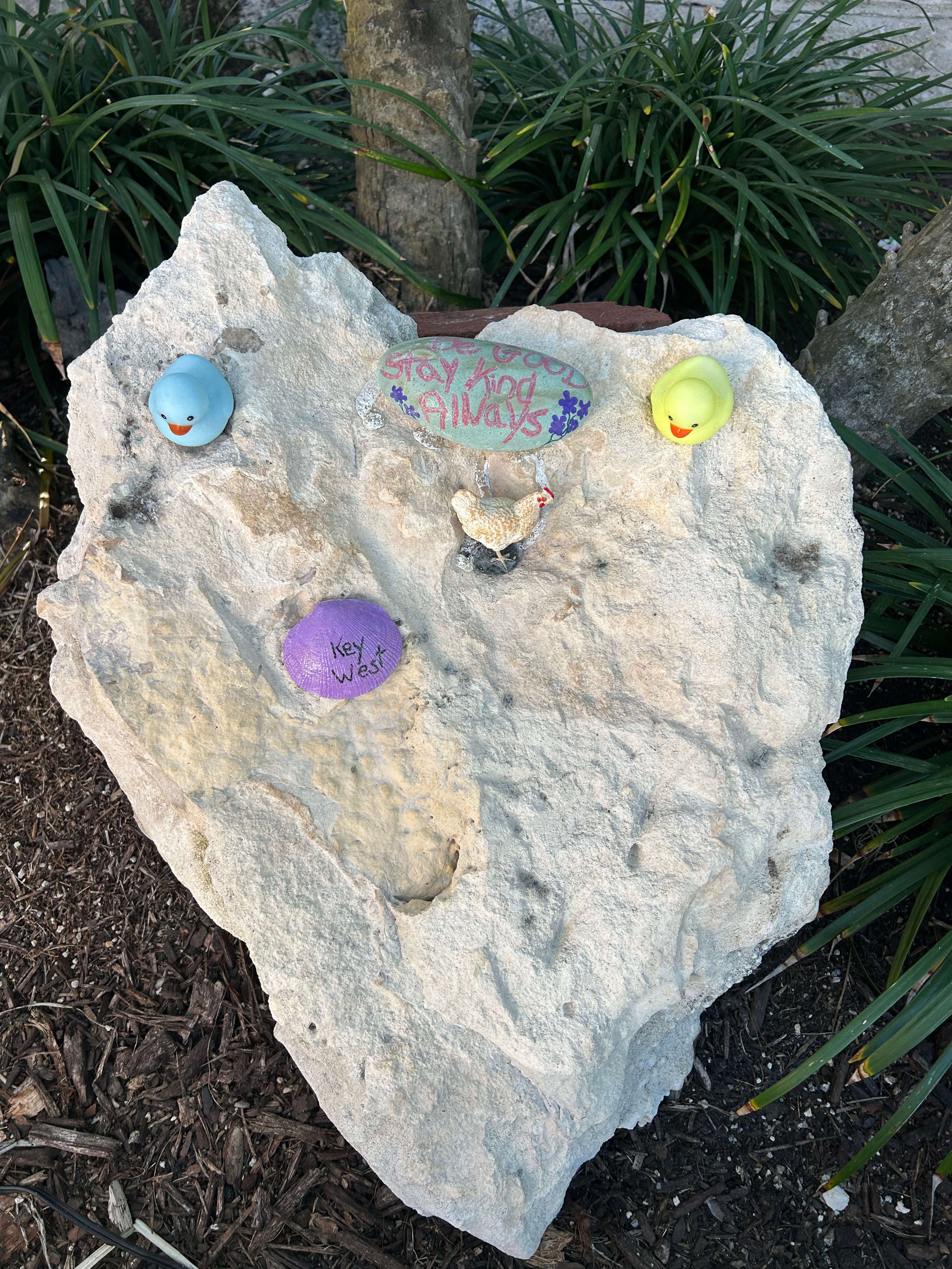
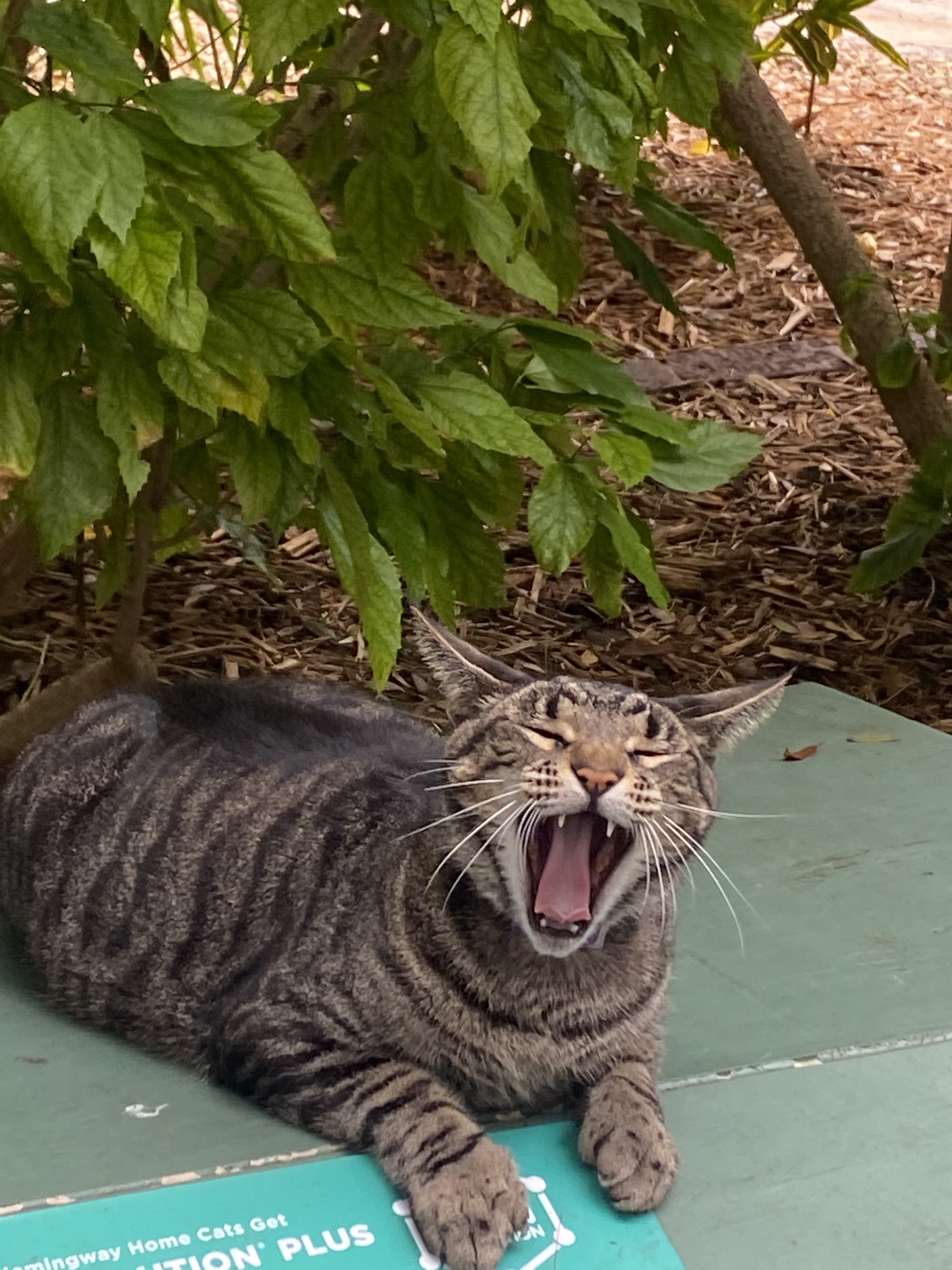
P.S.–I know you thought a blog about Key West that started with a Hemingway quote was surely going to include a visit to the Hemingway House and a picture of a polydactyl cat. Alas, Thom was not so eager to stand in a long line in the sun to walk through an old house (cats or not). I actually got a part-day visit to Key West during my infamous Covid Cruise, and WE did go to the Hemingway House. So, not to disappoint…here’s your six-toed cat…
Once upon a time, I said I would never go out of my way for an eclipse again. I had been so exited leading up to the 2017 eclipse. It was the first time in my life that a total solar eclipse would happen in Georgia and one of the spots for totality was in Sky Valley where my folks have a place. I had fond memories from growing up of partial solar eclipses at school, with our little shoe box to “watch the moon cover the sun”. There were also great times watching lunar eclipses, but a solar eclipse was much more novel, and a total solar eclipse near you was extremely rare.
So, we planned for over a year for the 2017 eclipse. My folks hosted a party, and I took the kids out of school. We packed family and friends onto the property. We had tents, telescopes, and people all over the open field there in Sky Valley. It was a beautiful day as we watched the moon start to cover the sun. Everyone was filled with excitement even to the point of talking about the 2024 eclipse that would be just a few states away. As the sky was getting to a weird dusk-like color, literally minutes before totality, a bank of clouds moved in and covered the eclipse. We prayed, begged, and wished with all our might for that cloud to quickly move. We got some more darkening and some sounds of nightfall (like crickets and such). And then it started getting light again. The field was filled with sighs, tears, bewilderment, and frustration.
Ironically, a friend texted me from the Sky Valley overlook (just a few miles away) with her picture of perfect totality and exclaimed “Wasn’t that amazing?!” And then our clouds rolled away–their task of destroying our joy was complete. I know this highlights my privilege, but I don’t think I’ve ever experienced that level of disappointment. After our dreams that day were crushed, it was hard to be excited about any future eclipse.
Photo Courtesy of Brittany Mitchell
However, after we rolled into 2023, the idea started drawing me back in. I was back and forth about it for a long time. Toward the end of 2023, Lizzy’s boyfriend (now fiancée), Jacob, offered to let me crash at his apartment in Louisville, and the desire to attempt the total eclipse again took full hold. As we got closer to the eclipse date, I started planning and realized that Louisville was not in the path of totality. Jacob was going to have classes on the day of the eclipse, so there was no reason to drive to Louisville. I started looking for the right eclipse spot and realized there were lots of great choices just a few hours from my brother in Nashville. Unfortunately, as we got closer to the eclipse, the weather forecast was looking worse every day. I decided we’d just have to find a location on the fly, based on the weather that day.
Come the weekend before the eclipse, I gave up on the chase. I had been sick for weeks with unexplainable hives that were driving me crazy (and the significant amount of allergy meds made me exhausted). The weather forecast looked bad for anywhere we could drive to. I “knew” it was going to be a disappointing repeat of my last total eclipse experience. Thom took it all in stride and said he would go at the drop of a hat if I changed my mind. All I could see was that we were going to miss work, spend a bunch of money on gas, sit in terrible traffic…and it would all be for nothing.
I guess a tiny part of me still had a glimmer of hope, because early Sunday afternoon, I pulled up the National Weather Service site and saw there was now a forecasted hole in the cloud cover right over Paducah KY, which was in the path of totality.
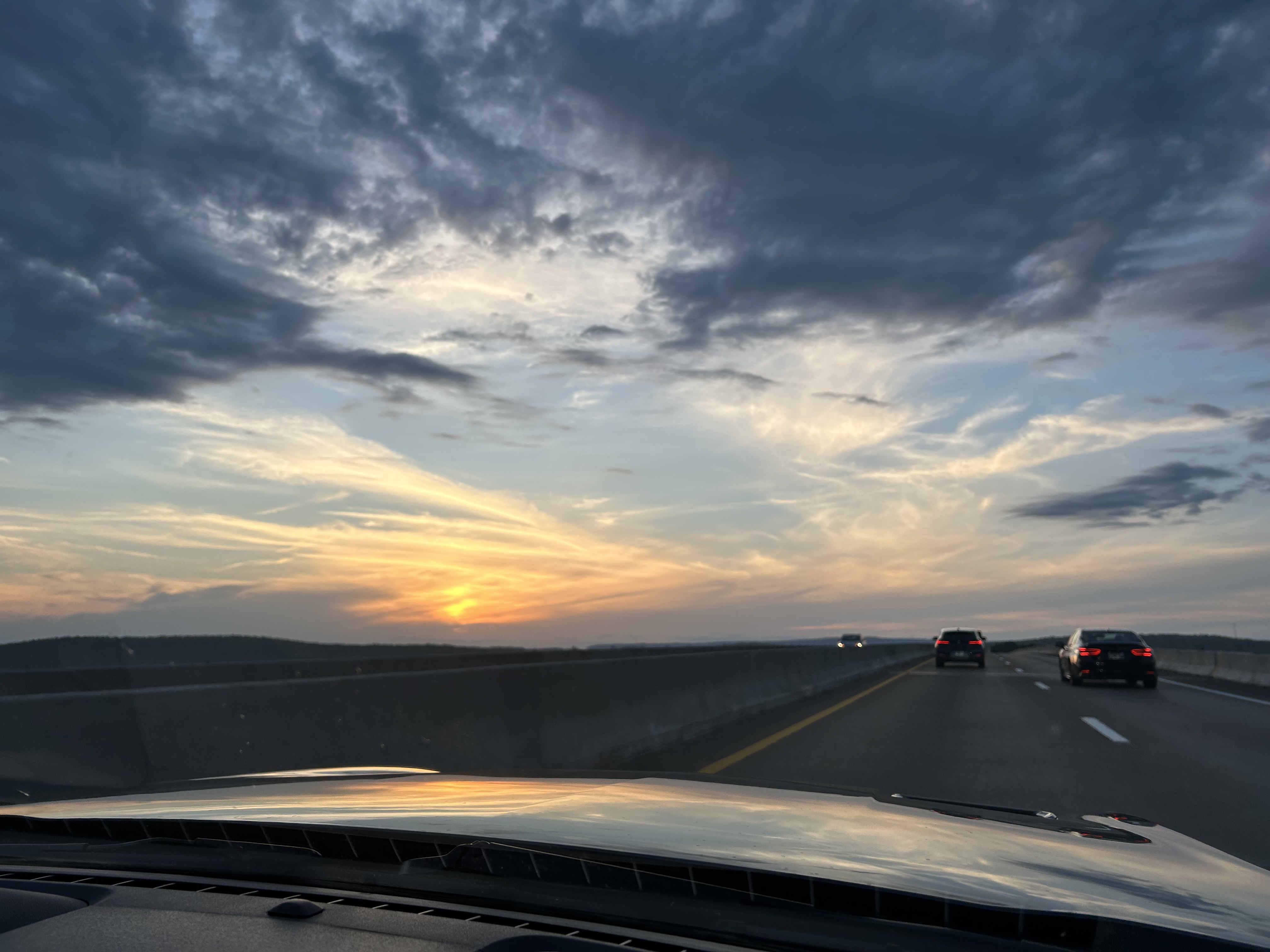
So, we suddenly jumped into action. We packed, took showers, and had an early dinner with the boys before driving to Nashville. We had a beautiful sunset drive over Monteagle and stopped at my brother’s for the night.
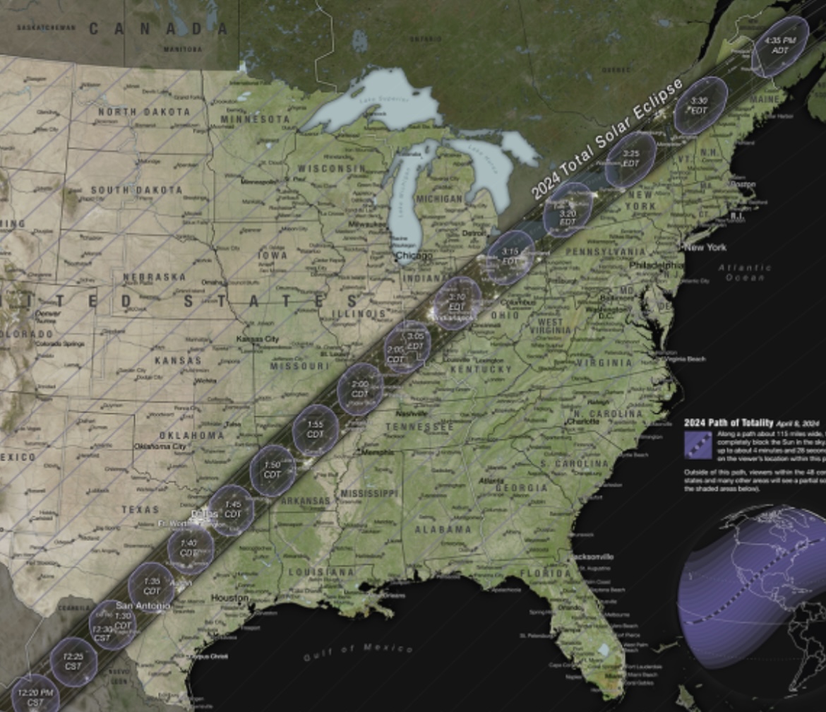
During our Sunday drive, I used my phone and “old-fashioned” maps to hone in on the best potential spots to see the eclipse–looking at all the towns falling in the predicted break in cloud cover, checking mileage, and noting how long totality would last. Early Monday morning, we got up and went into the unknown. We set our sights on Paducah KY, as it was the first town that would be in totality. Paducah was only going to have 1 minute 34 seconds of totality, so we hoped to push further into the zone if time (traffic) allowed. We had two potential “best case scenario” targets: Cape Girardeau MO (4 minutes 6 seconds of totality) or Carbondale IL (4 minutes 8 seconds of totality). They were both about the same drive from Nashville, but were off different expressways once we got past Paducah.
After we got through Nashville’s rush hour, we stopped at Dunkin’ for breakfast (since we don’t eat or drink in the Mustang). That stop (and our later lunch and gas stops) were so different from a normal day. Instead of people just standing in line and keeping to themselves, everyone was talking to each other, sharing excitement about the event, and asking where everyone was from and where they were going for the eclipse. It was electric and alive in such a refreshing way.
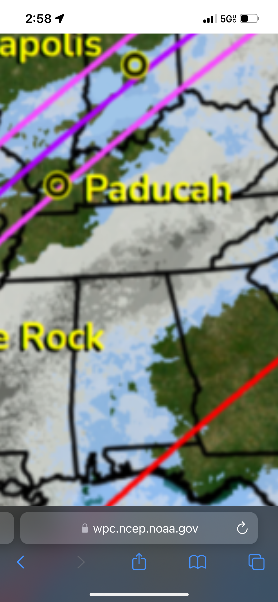
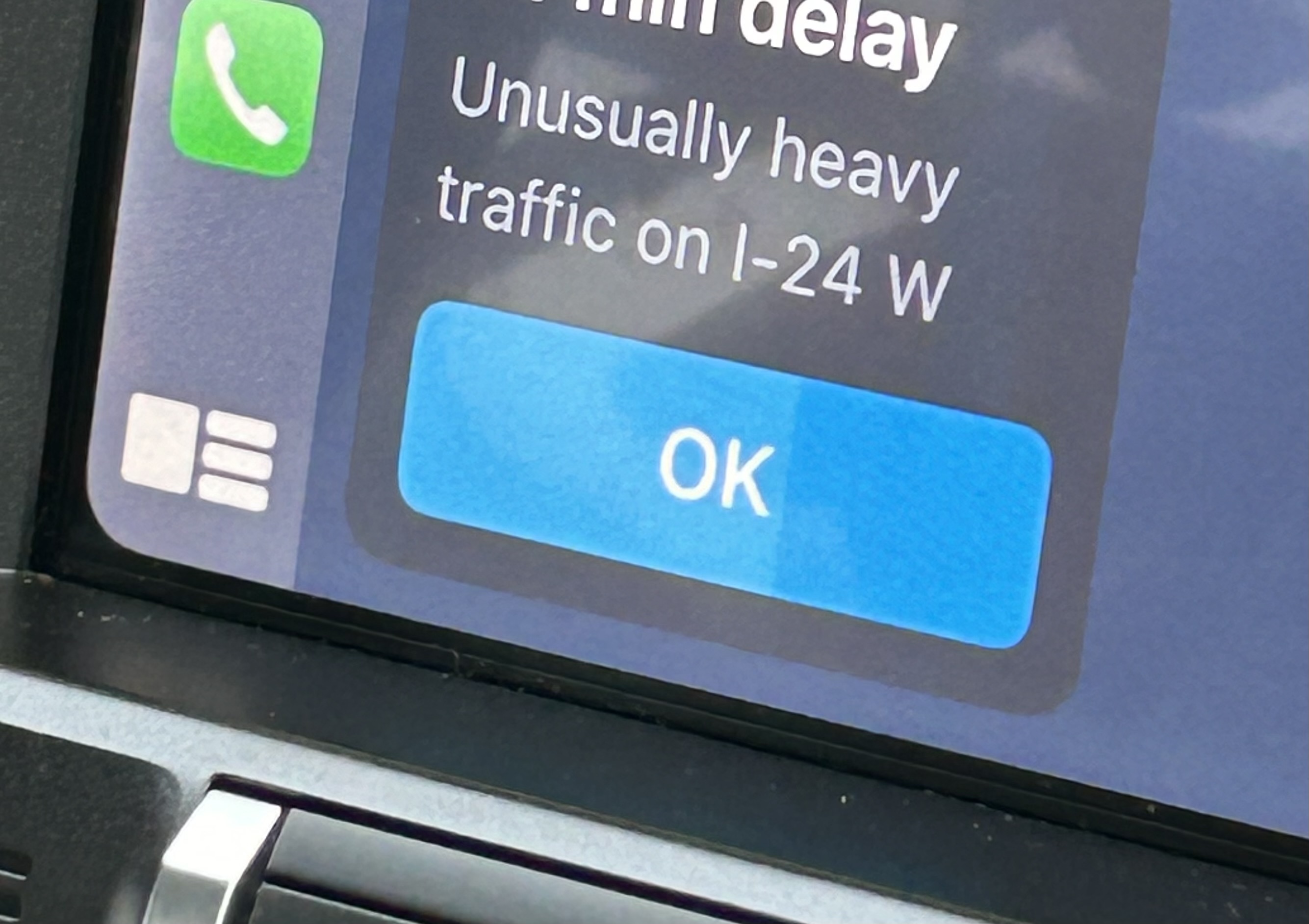
Back on the road, we had more traffic than expected. I figured most people would have lodging reservations and would already be in place just hours before the eclipse. However, I think the weather forecast had caused many people to make last minute adjustments. Looking at traffic, Cape Girardeau looked more problematic due to more bridges (which seemed to bring about the worst traffic). Thus, we set our sights on Carbondale and settled into a music podcast interrupted occasionally by GPS alerts stating that there was an “unusual” amount of traffic.
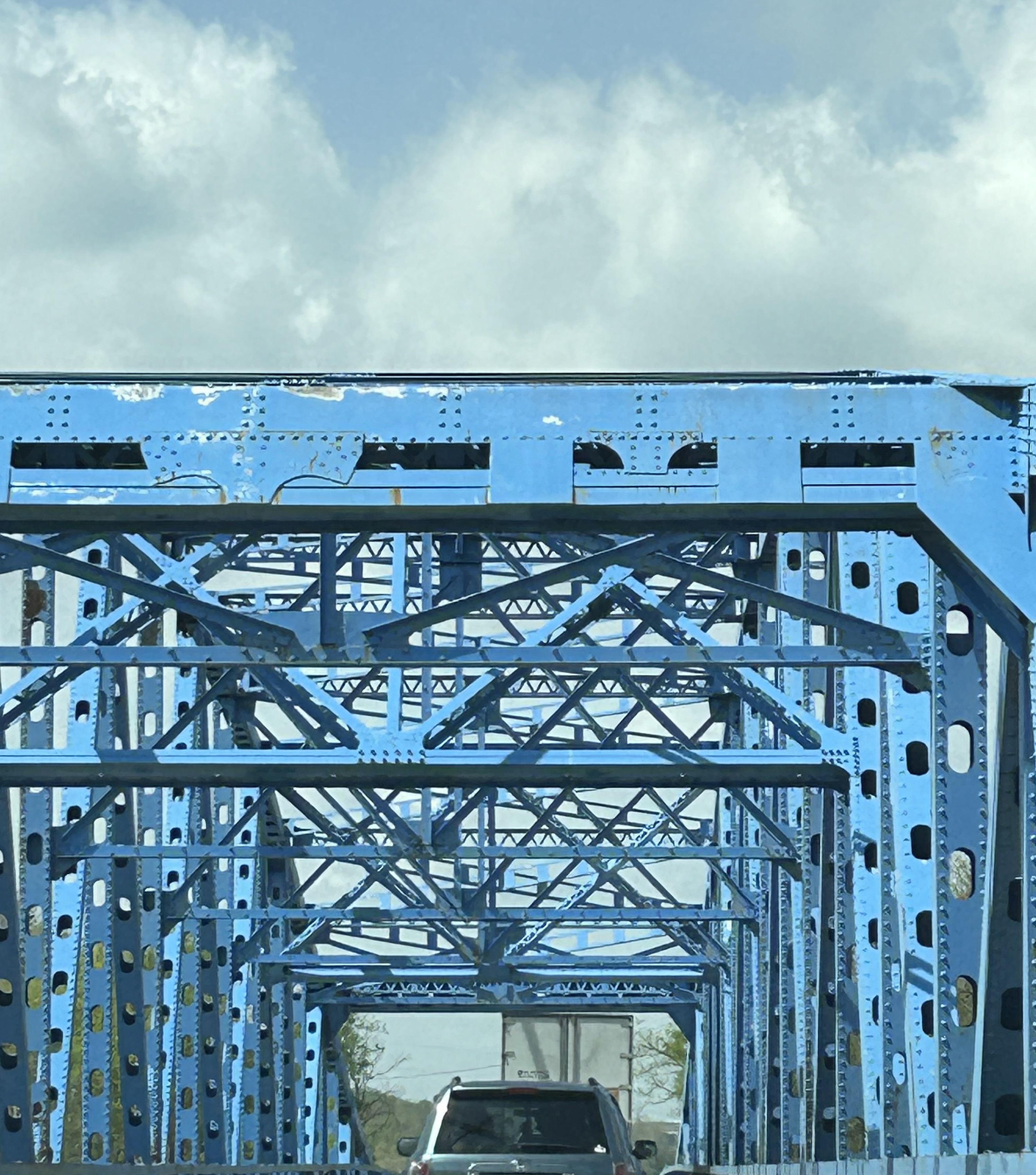
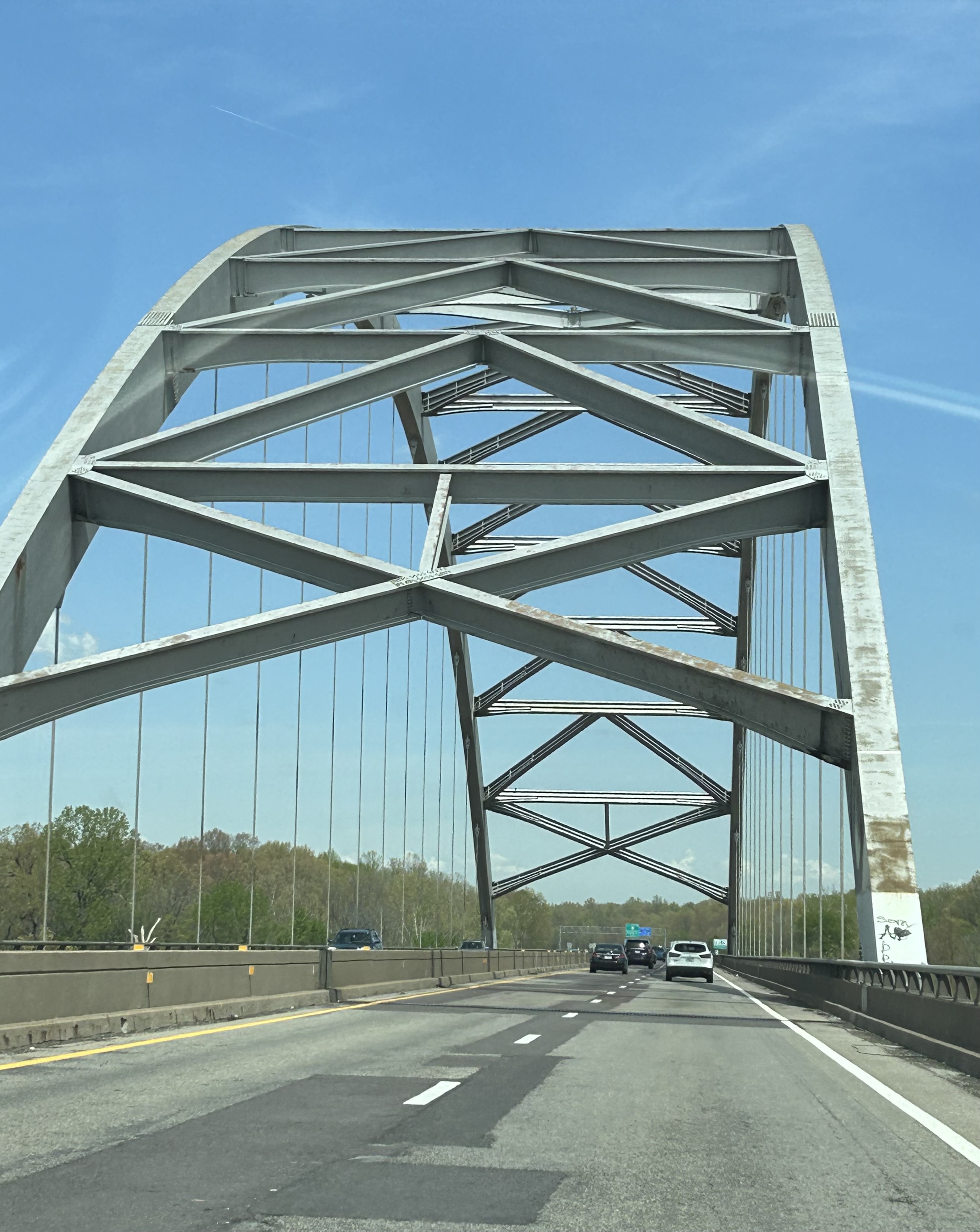
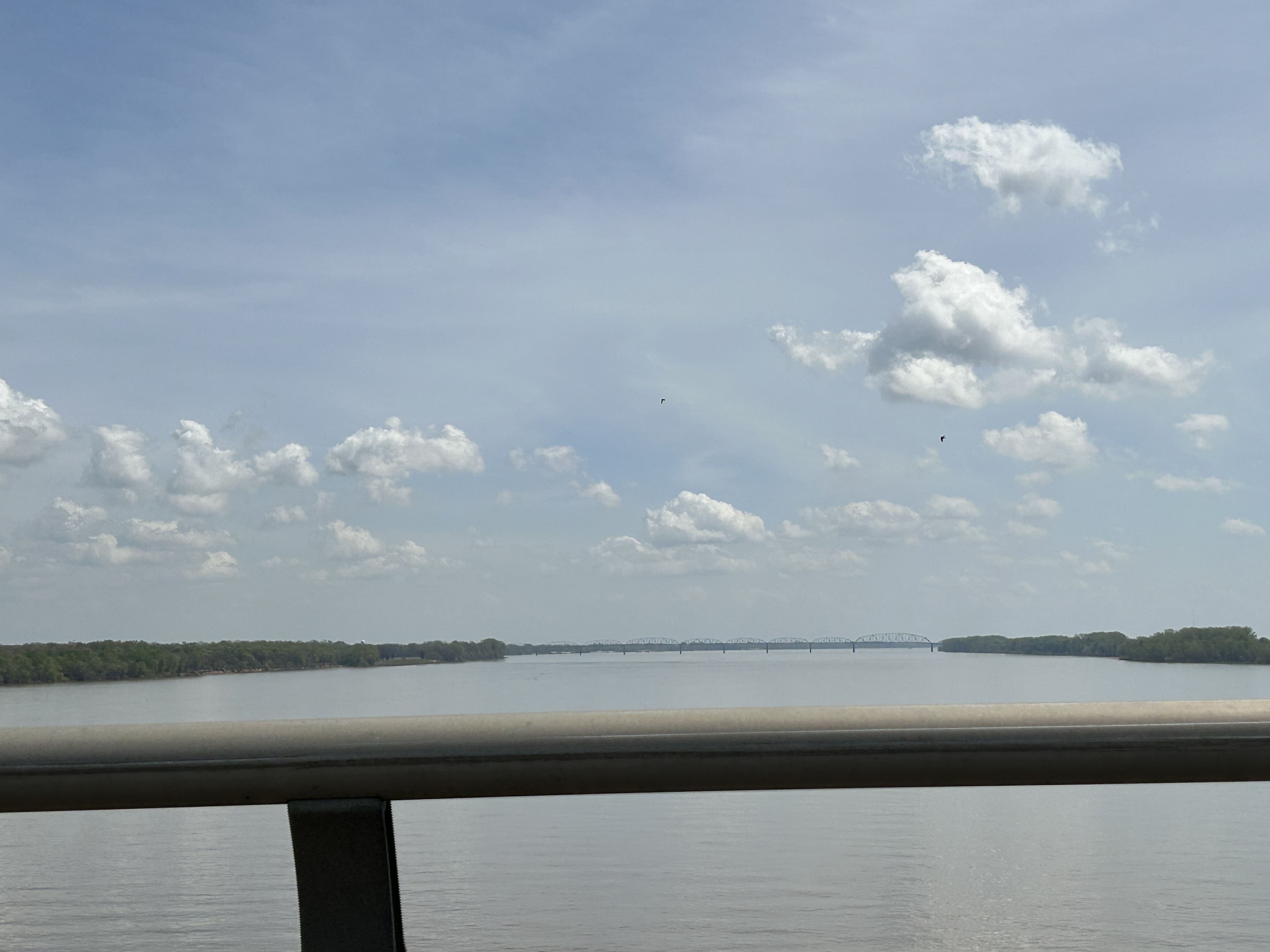
When we finally made it to Paducah, we howled with delight as we knew we were at least in the totality zone. Now the goal was just a matter of getting a longer totality (in an area without cloud cover). We enjoyed several cool bridges in that little stretch of Kentucky.
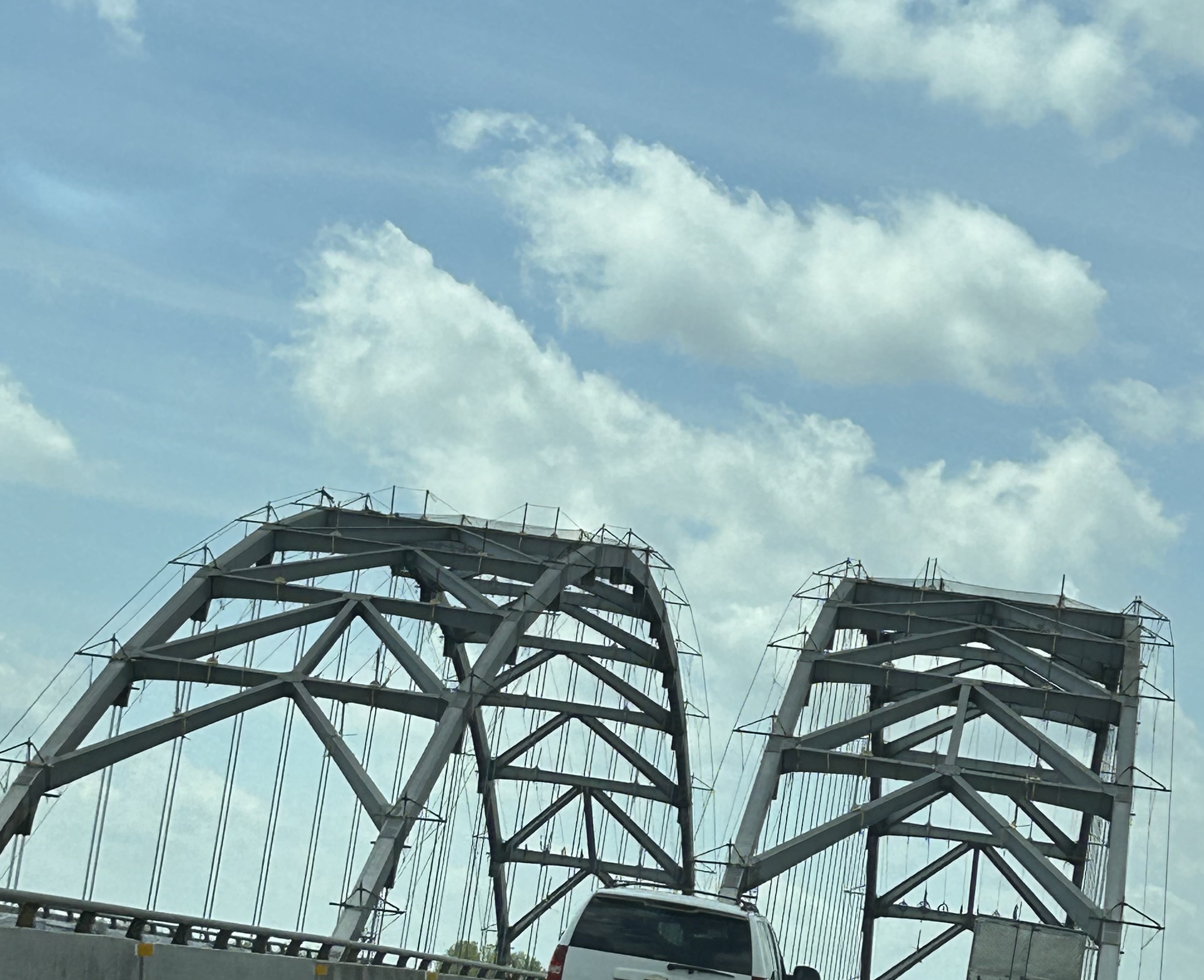
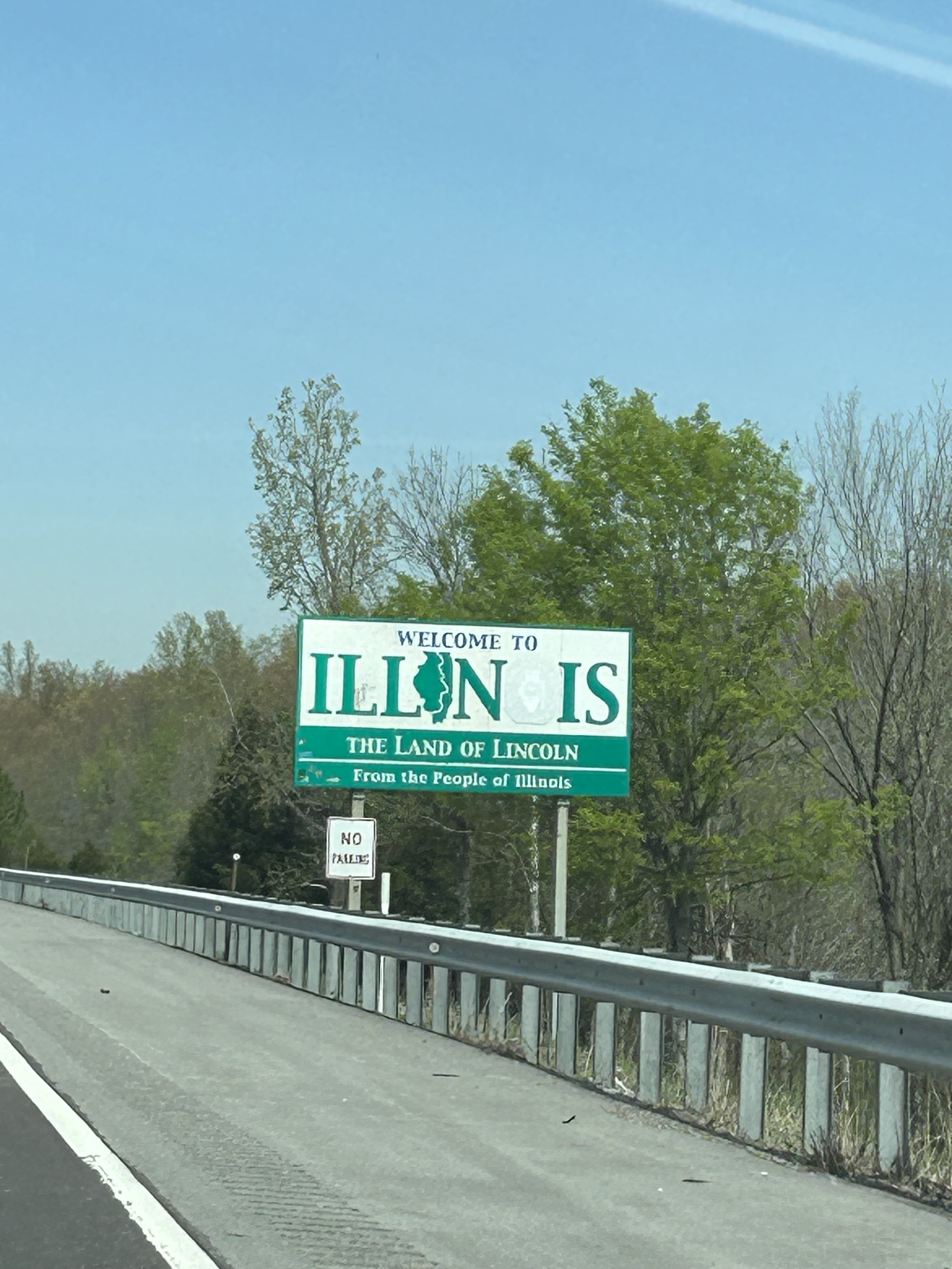
We crossed over the Ohio River into Illinois and got super excited as every mile was pushing us deeper into the totality zone.
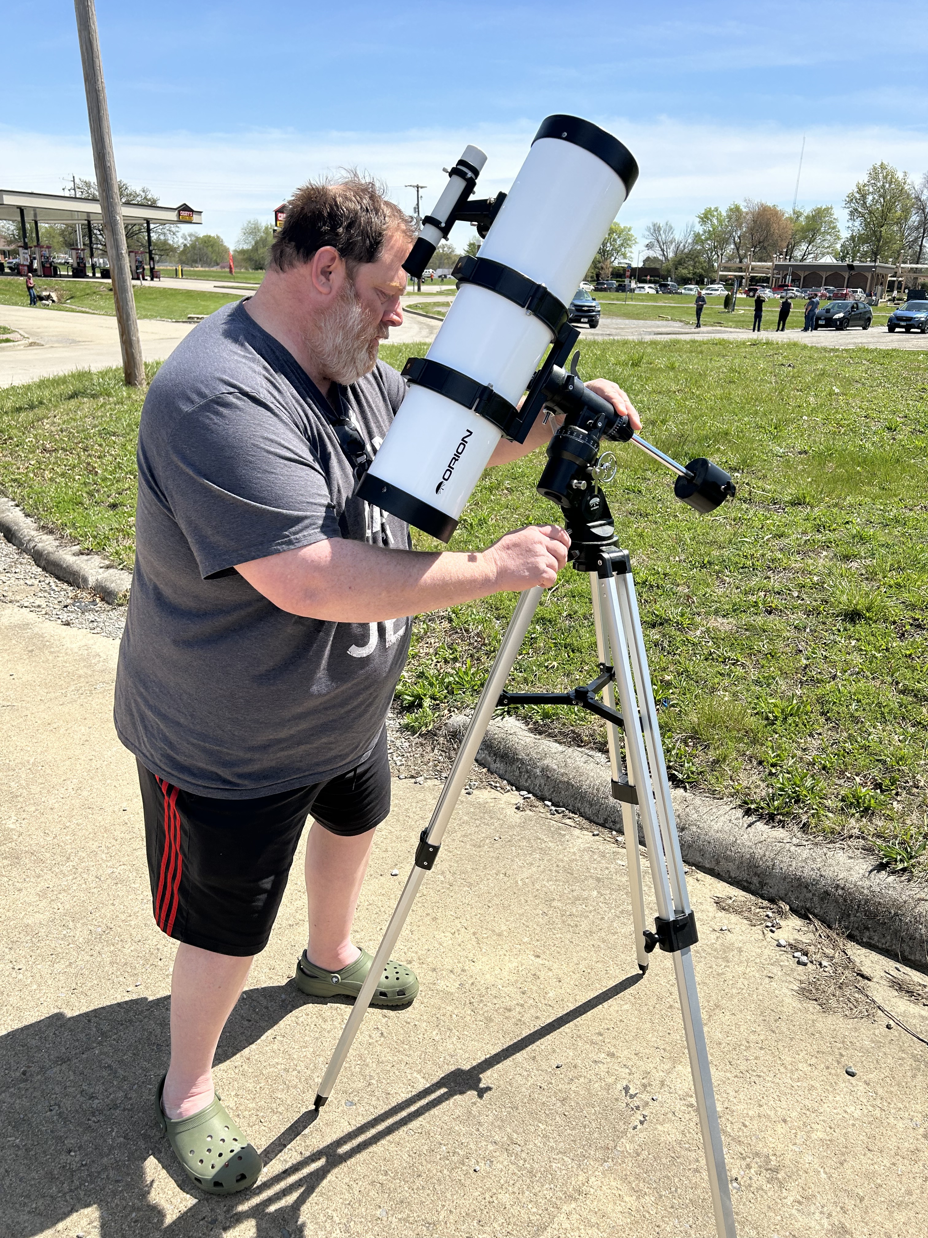
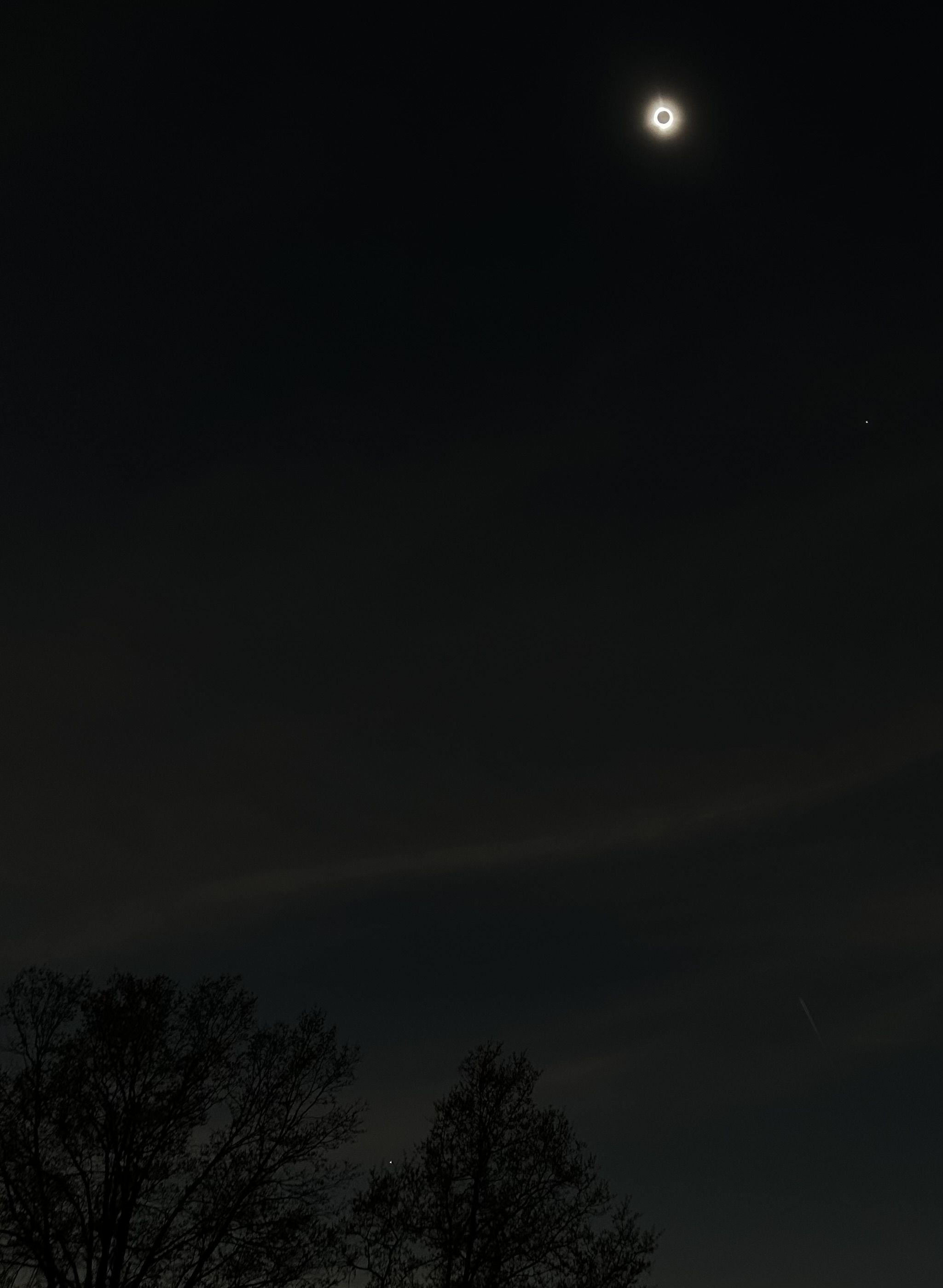
The sky was completely clear above us; I finally started to believe it was going to work out this time. However, we did see clouds in the distance. I got busy on the National Weather Service site and, for a moment, embodied my childhood dream of being a storm chaser. Of course, today I was chasing the anti-storm (aka clear sky). The weather in Carbondale was starting to look iffy and traffic was making that destination improbable anyway. So, I found a new potential spot in Marion IL. They were set for 4 minutes 6 seconds of totality, located right off the interstate, and had lots of shopping center parking lots (for ease of pulling in and setting up without trees). As we pressed forward, we started seeing crowds sprawled out with blankets or chairs at every gas station or restaurant near the interstate. Even the travelers were getting in place, and all eyes were on the first phase of the eclipse. We finally pulled into Marion and chose a field next to a gas station right off the interstate with plenty of room for us and the telescope.
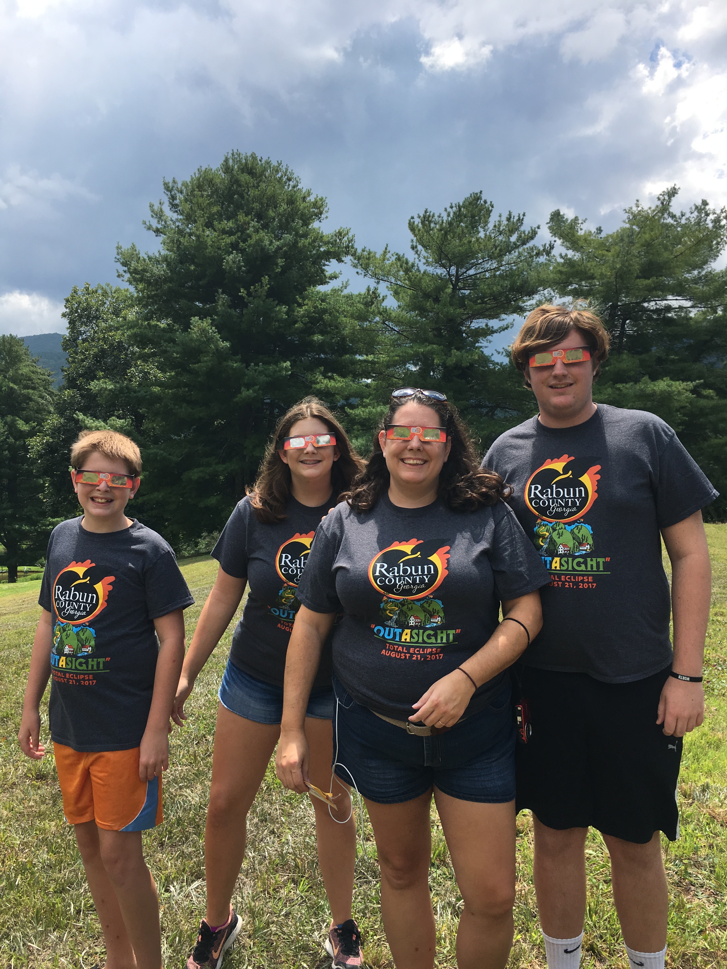
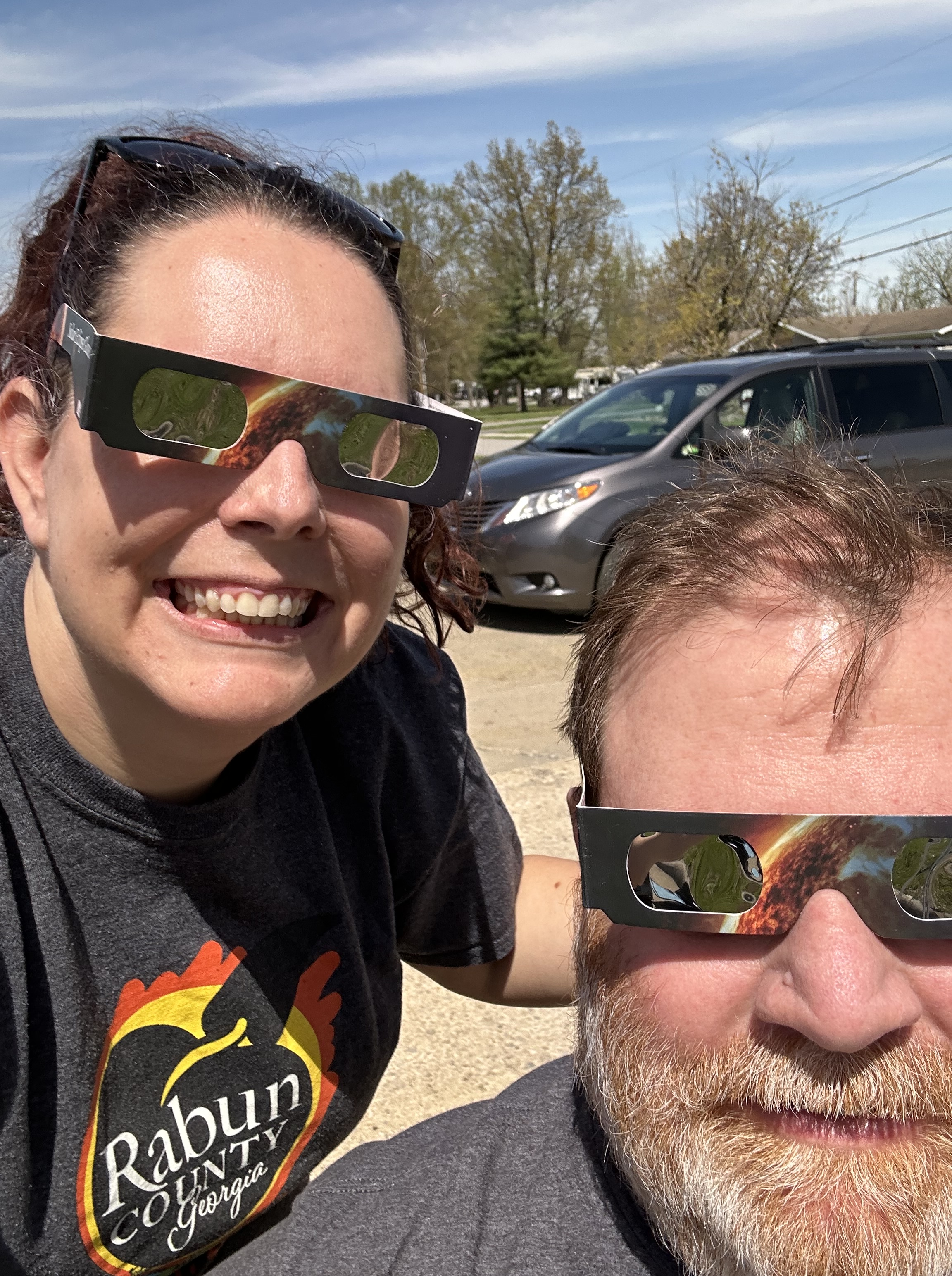
We alternated between watching the partial eclipse through our glasses and fiddling with the telescope. In turned out to be quite the challenge to bring the sun into focus. It seemed so obvious–the sun is huge–but using the solar lens or eclipse glasses meant that you either had complete darkness or the full sun and no in-between. We got it lined up a few times, and that was cool, but it would quickly drop out of view. So we stopped fighting that fight and just enjoyed the eclipse with our glasses. As the moon blocked out more and more of the sun, we got to know the other people around us: a family with young kids that had taken the day off work and school, a retired couple on the way back north after their winter in Florida, a father and high school son enamored with the science of the eclipse, a group of college kids making different memories than the classroom could offer that day, and a group of construction workers on break. We all were bubbling with excitement and anticipation.
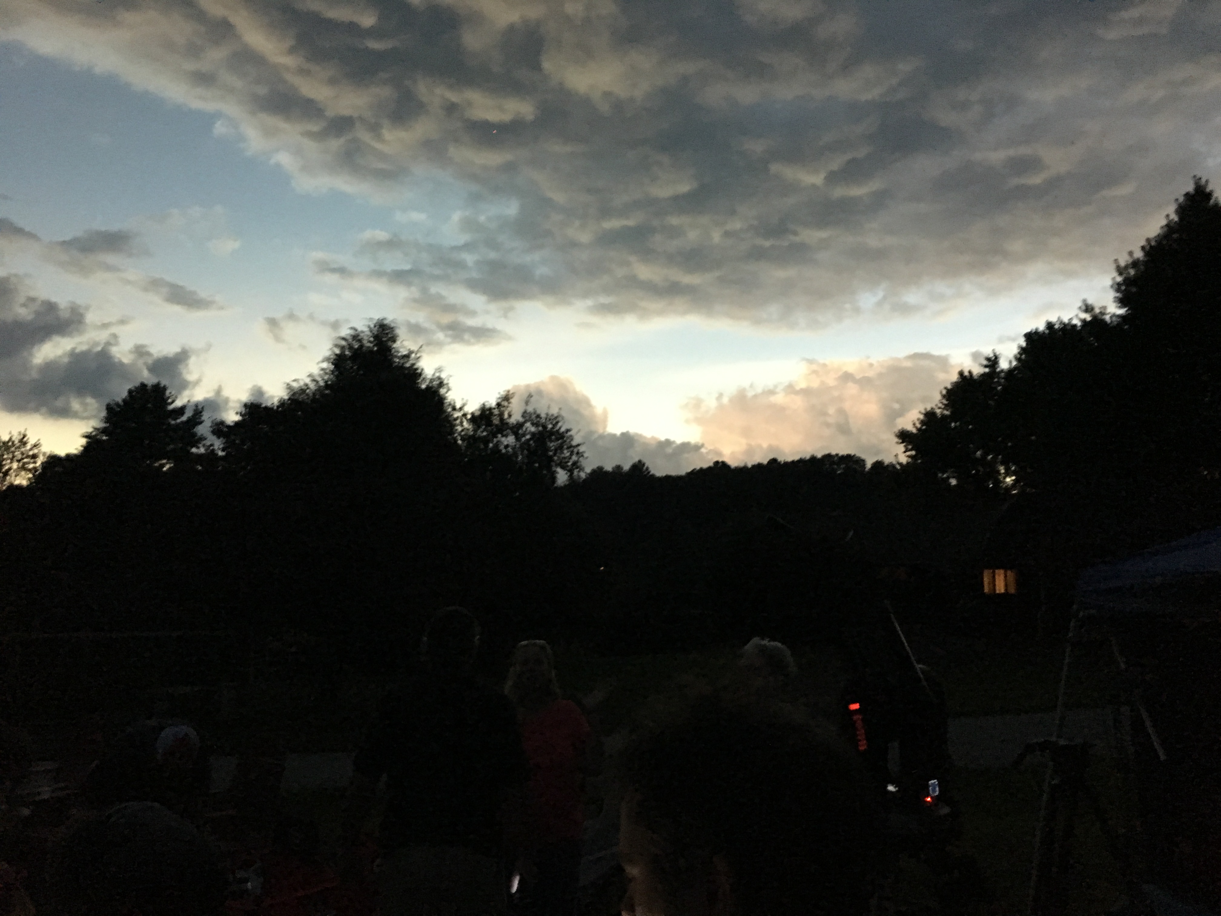
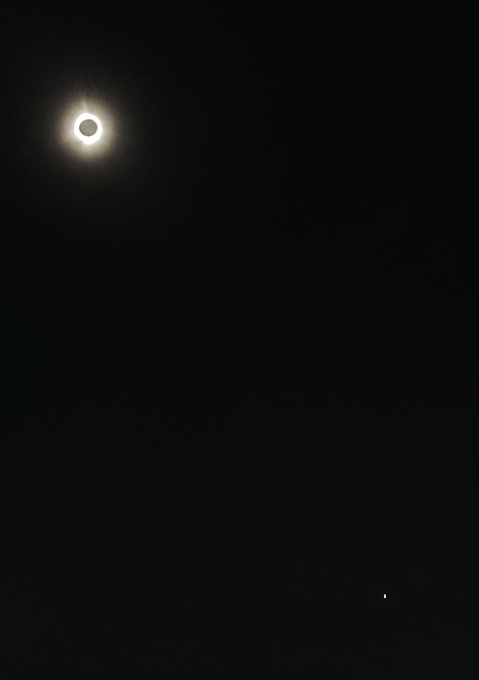
Suddenly, the world around us started to change as the moon moved across the last sliver of sun. The light became muted like a mixture between where a cloud covers the sun and when the sun is setting. Birds went from singing to cooing. Crickets started chirping. The street lights came on. Then it became twilight. The traffic all stopped on the interstate. The air got noticeably cooler. The birds went silent. The symphony of crickets crescendoed. And, quite unexpectedly, thousands of bats flew by in three different swarms. We only had a moment to marvel at that strange occurrence because in that moment, the moon completely covered the sun and day turned to night.
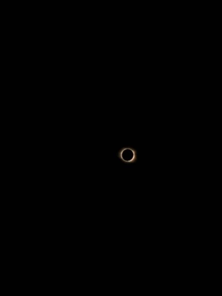
I can’t possibly do justice in describing the next four minutes of my life. I’m not sure even a wise old philosopher with a rich vocabulary could truly describe the experience. I feel like this is one of those things that you simply have to experience in order to understand. But I’ll do my best…
I took my glasses off and my jaw literally dropped. There was a twinkling diamond-like light emanating from one edge for a moment and then beautiful light bands from the sun’s corona streaked out around the moon’s perimeter in shimmery movements as if they were dancing. Then it was like God pulled back the veil and opened up the night skies. It was dark enough for long enough that suddenly lots of stars became visible and I could even see a planet near the horizon. Somehow, I wasn’t prepared for the starry night sky to show up and it overwhelmed my soul. Tears streamed down my face at the magnificence of it all. I turned my face toward Thom to tell him that was Venus in the low sky and no words would come out. I laughed and tears of delight streamed down my face as I simply pointed at the sky. The world around us was a dichotomy of eerie silence, non-sensical exclamations from the adults, and exhilarated laughter & cheers from the kids. Thom looked back at me with the same teary eyes and inability to speak. We were totally Consumed by this moment that felt frozen in time.
The sparkly little diamond light started peeking out the opposite side from earlier and, just like that, totality was over. We rejoiced with all our new friends and bubbled over talking about what we saw and how it made us feel. I had taken a few random pictures in hopes something would capture even a tiny bit of what we saw, and it turned out I was the only one managing to capture it. Everyone wanted a copy and it was kind of cool to be able to share with our newfound temporary family. There was none of the expected loss of it being over. There was just amazement over how we had just been changed forever.
Once the eclipse was completely done, we said our goodbyes and headed south. We settled in with the traffic and I had the great idea to stop in Metropolis on the way by. It was a super cute little touristy town with an eclipse party going on. We got a picture with the giant Superman statue (who even had his own super-sized eclipse glasses) and shopped in the Superman museum store. There was live music and people hanging out all over the town…happily oblivious to the nearby traffic we were soon to encounter.
Legs stretched and tourist attraction checked off the list, it was time to get back on the road (hoping traffic had thinned out a little). Turns out, we fell into the worst traffic I’ve ever encountered. And I know quite a bit about terrible traffic: I live in the Atlanta area, I drove home from the middle of totality in 2017, I’ve driven through Panama City in summer, and I’ve driven through Pigeon Forge in the height of fall. This topped all of them. Pulling out my maps, I realized the predicament I had placed us in by going through Metropolis. Heading south out of town had multiple major roads merging together and eventually becoming just one little lane to enter the expressway on one of the few bridges crossing the Ohio River. I had thrown us into a terrible traffic funnel that took over three hours to go less than two miles. I knew there was a reason that I didn’t like DC Comics…
After our escape from Illinois, the road was full but we moved along pretty well all the way back to Nashville (and then home). All in all, we met people from 9 states and saw cars from 29 states (plus Ontario). We drove 800+ miles with over 22 hours of actual drive time between Sunday evening to Tuesday afternoon. I know that “on paper” it makes no sense whatsoever, yet those are exactly the kind of things one should do (at least every once in awhile). What’s the point of living if you aren’t going to get out and experience the absolutely amazing wonders of this world?
Upon climbing into our sleeping bags, we had a good long talk about Scouting and it’s history in our family. It seemed a fitting topic since we likely wouldn’t be out backpacking except for the peppering of Scouting throughout our family history. We talked about how my dad and uncles were involved at different parts of their lives. We talked about my brothers’ mixed experiences. We talked about how Mr. Wells was going to give Brandon hell for leaving our water behind. We even got into a discussion about why Alex didn’t start Cub Scouts until 3rd grade. I shared how young avid-reader Alex had picked up one of Pawpaw’s adult Scouter magazines and read an article about the importance of taking scouts winter camping so they could conquer the difficulties of such an experience. Alex’s takeaway was that he didn’t want to “build his character”. In light of our current frigid December experience, this story was extra funny.
We then reminisced about all our adventures through Brandon’s scouting–first as a sibling then as an official Scout. In talking about camping and the funny (in hindsight) things that went sideways on each campout, we remarked how Mr. Gelder always helped us while also good-naturedly giving us grief. It made us a little sad, as Mr. Gelder left this planet too soon. Yet, we also had quite the laugh about what he’d have to say about our misadventures this time. We then got hysterical thinking that he might be up there in Heaven watching this play out like a TV show…or maybe he got God to send us this crazy weather. The laughter was exactly what we needed to warm us up just a little bit to settle into our sleeping bags for the night.
I knew camping this time of year would be colder than I wanted. Of course, that’s when I expected upper 40s and certainly not the 33 degrees we got that night. I had a 30-50 degree bag, but I obviously needed something better. I had prepared (or so I thought) for this and had gone on many long night walks leading up to our trip, often in the low 40s. On those walks I would unbundle myself, as the walking warmed me up. What I should have done to prepare was to sleep outside at home or at least lay still outside for awhile in the cold. That’s a whole different beast. That last night on Cumberland Island felt like the longest night of my life. Sleep didn’t last for long periods and was fitful. Deep in my bag wasn’t too cold and I even had a ski mask on, but the cold hitting my tiny bit of exposed face sent chills down my body. We both found ourselves moaning and groaning as we would wake up and try to get warm. Brandon put on my extra pants (that I thought I left at home), I had all my clothes (extra socks, underwear, shirts…everything) on, and we had several “hot hands” activated in our pockets and bags. I prayed for God to let that be the very moment that menopause would come to me so I could have one of those hot flashes I hear women complain about. That didn’t happen, so we alternated between sleep and watching the time tick by as the moon moved across our tent. It was our night of character building.
Once the sun came up, we climbed out of the tent. Actually, I crawled out of the tent and used the tree next to us to pull up. My old MCL/ACL injuries had come back to life overnight. There wasn’t time to focus on this though, because it was COLD. We jumped into action with water cooking and oatmeal. Brandon’s method of making it in the packet was brilliant, because it warmed our hands while we warmed our tummies.
As soon as we finished eating, we worked together to take down camp and pack our bags. Then we were back on the trail for our final day. We took the Willow Pond Trail again (the only trail we duplicated) and trekked through the swamp. It was still beautiful, but it was harder to enjoy because it was quite challenging with our backpacks on. The boardwalk felt more like a precarious tightrope as we navigated through the low hanging tree branches.
We ended at the main road again, but this time went south. The road had the benefit of being wider and taller, so no branch or downed tree maneuvering was required. But it was a little uneven, there was gravel mixed in with the sand (thus somewhat tougher to walk on), and there was the occasional car that would come by so you’d have to move over into the brush. It definitely felt like the tour road in Jurassic Park, so we stayed vigilant for any dinosaurs that might show up and entertained ourselves humming the JP theme and recounting the JP and JW movie storylines. While we didn’t see big creatures, we did see some big trees that dwarfed even my tall son!
Our travels took us past the Heron Pond, and not a single bird was in sight on this bitterly cold morning. We went past several private homes that still exist on the island, before having a break at the Stafford Cemetery. It was tucked away in the maritime forest and surrounded by tabby walls. You see lots of tabby (a mixture of sand, shells, and lime) on the buildings on Cumberland. Most of the graves were indecipherable, but we could make out most of the writing on Robert Stafford’s grave, born & died on Cumberland Island in the 1800s. It was cool to know that there is still part of the Stafford family living on the island today. As we came out of the cemetery, we spotted something that made me sad–bamboo was growing across the road. That stuff (while pretty) is an invasive abomination. It led to a lively environmental discussion that helped get us a little further down the road…
Shortly thereafter, the landscape made several rapid changes. We came up a big, flat, open field with an airplane on it (so obviously a landing strip). Then the field became more like a retired farmland, with little mounds in the landscape, a scattering of brush, and prairie grass. It’s there that we came upon a horse of a different color, as all other horses we spotted were black or brown. And then we were suddenly back in the live oaks, this time with a natural archway to walk under.
Pretty soon, we came to Stafford Beach Road. We paused a moment and considered going back to hopefully recover the lost water bottle. It would be a mile and a half round trip. There was not much hope it would still be there (as signs posted said anything left behind was cleared out at night). And we were starting to physically drag. As we stood at the literal crossroad, we noticed the most unusual plant thus far. It looked like a house plant or maybe a hosta, and definitely didn’t look like something that would grow naturally out in this wilderness. It looked so out of place and was the only one of its kind. These are the quirky little things you would never notice unless you were out in the wilderness on foot. We decided against the side journey and kept heading south.
After what seemed like forever, we saw the beginning of Pratts Trail. It then dawned on us that we still had two miles to go. I started having that defeated feeling again and our pace got slower and slower. Finally we had a rare treat on this main road: a nice big log on the side of the road. We pulled off our packs and sat for a long snack and water break. I didn’t want to leave and started wondering if one of the occasional vehicles would just take us down the road. But we persevered. We got back to walking and started encountering bikers who’d just gotten off the morning’s boat. We must have looked done for, because several folks yelled out that we were almost there. (Almost…if we were on bike, Brandon mumbled.) I went from lead hiker to next to Brandon to falling behind. I was starting to walk at a snail’s pace. I was wishing for another log but there was nothing but dense forest. And then suddenly we came across a glorious sign pointing to Sea Camp Dock. There was a light at the end of the tunnel.
We got to the Dock area and were promptly blasted by strong winds. We enjoyed the luxury of clean water and bathrooms and then had lunch at one of the picnic tables for our coldest & windiest meal yet. The downtime had rested our bodies a little bit, and it was clear that we didn’t want to stay in that spot for hours (it was just barely noon!), so we left our packs and headed to the south end of the island.
We took the River Trail down to the Dungeness Dock and explored the Ice House museum. Then we walked down the Dungeness trail to see the “main attraction” of Cumberland: the Dungeness Ruins. It was kind of funny that we saw this last, as day visitors often just see this (and then the beach). After seeing Plum Orchard, in all its restored glory, this fell a little short. It was still amazing to see what was once a majestic road up to the mansion. Although most of the mansion was destroyed by fire (and then the elements), it was still cool to see the bones of the structure. (My previous recollection was that you couldn’t get close to the mansion as it was covered by tangles of thick brush, but maybe I made that up in my mind?) We strolled around the historic houses surrounding it, saw the remnants of their magnificent gardens, and marveled at the mostly destroyed structure that was the recreation building. Oddly enough, you can still find bits of glass from the squash court and pieces of porcelain from the heated indoor pool It’s like little pieces of history just lying in the sand and marking a time gone by.
With the wind whipping us nonstop (and keeping us from being warmed by the sun), we decided to head back down the River Trail to our dock. The trail was quite pretty, as you could see out to the St Marys River a little, but there was just enough tree cover to block much of the wind. Being a touristy area/trail, there were benches every so often so we stopped at nearly every one and took in the nature around us one last time. We watched as hundreds (?) of birds flew overhead and landed in the tree above us, chirping and swaying in the windy branches before all taking off. We got still enough at one bench for an armadillo to come right toward us, jumping and scurrying away once he finally smelled us (I’m guessing). And we watched some horses come through the trees and cross the trail near us as we sat at our last stop. We marveled that we had walked our longest day yet–9 miles. These moments together in nature was what this trip was all about. The nights were bad, we were cold, our stomachs were frequently rumbling with hunger, we weren’t drinking enough water, every bone & joint hurt…yet all that mattered and all that stuck were these magical moments together.
We got back to our dock in time for water, restrooms, and a nature talk with the park service ranger. We discovered that there were more animals than we saw on this cold trip. In addition to the feral hogs we didn’t see, there are deer, alligators, bobcats (including one with a long tail that everyone thinks is a panther), and coyotes. Funny enough, it was a little bittersweet when it was time to board the ferry. The typically still water was super choppy, so I put on my motion sickness bands, took some Dramamine, and sat outside on the boat despite the cold. That last stretch of discomfort was blessed as we watched the sun get low, the marsh light up with the last of daylight, some dolphin frolic ahead of the boat, and then sunset. We looked at each other in disbelief that we had completed three days backpacking and walked 23 miles together. As the sun set on our adventure, I asked the question I was sure I wouldn’t ever ask…”When should we backpack again?”
I’m not gonna lie, our first morning waking up in camp was rough. The fitful bouts of sleep had not been restorative in the slightest. I didn’t want to lay in the tent a moment longer, but I didn’t want to move either. I spent more time than I should have, just laying there being grumpy. I was irritated that the forecast had changed on us. I was annoyed that my bones hurt. Every blast of wind through the well-ventilated tent made me frustrated that we were using an “all season” tent (which I then discovered means all seasons but cold). I was defeated by the mere thought of having to go start the day using the bathroom in the forest. When I finally forced myself up and out, I again became sad that we couldn’t make a campfire and angry that there was so much tree canopy that we couldn’t get the sun.
While we didn’t speak our feelings much in that moment, Brandon’s face told me he felt similarly. That actually made it slightly better…at least I wasn’t alone in my suffering! We had the same campsite for another night, so we didn’t have to break camp. However, we knew that movement and a change of scenery was the only thing that would help our demeanor. So, I got busy packing up day packs and he got busy making us oatmeal. We had breakfast sitting on our little camp log, and discovered some fragile little mushrooms growing out of one end of the log. That sight made us both laugh about our mushroom adventure and broke the angst we were holding on to. We cleaned up and heading out on a new trail.
We headed west on the Willow Pond trail and quickly came to an enchanting boardwalk over swamps and under many low-hanging branches covered in moss. It was freeing just to wander without the backpacks on and it was nice to warm up some from the sheer act of moving. Our only firm plan for the day was to head to Plum Orchard. My brother Christian told me we should take the tour there, so we were heeding his advice. Brandon wasn’t terribly excited about touring a mansion, but was happy to go along. We knew the beach was too windy, we weren’t sure of how much hiking we could accomplish, and we knew staying around camp wasn’t a good option. On the plus side, we knew Plum Orchard would have real restrooms, potable water, and (hopefully) a little bit of sun.
Our trail ended into the service road, which we promptly decided was the Jurassic Park tour road. It was still beautiful and lush, but with such a wide clearance that it felt a little more mundane than the trails. Just as we thought it was predictable terrain, we turned a corner and crossed over White Branch. This looked like more than just a branch or even a creek in my estimation; it looked more like a small river. It was also interesting how different it was on the two sides of the road. On the east, it seemed still and brackish with moss-covered trees leaning over and into the water. On the west, it seemed to be moving with clearer water and was open and sunny. Although the sun was finally shining on our faces, the open wind countered any sort of warming effect the sun had. So on we went towards our destination.
Soon we turned onto Table Point Road, which was a shell road leading alongside the Brickhill River and up to the beautiful grounds surrounding the Plum Orchard Mansion. It was so bizarre to see this big, ornate mansion in the middle of this wild, natural island. We took in the view and watched some horses go by before getting to the important business of water and restrooms.
Ready for more walking, lol, we set out on the tour with the park service volunteers. The first piece of information was quite disappointing–there are no plums to be found. No one knows why it was called Plum Orchard as there’s no evidence of ever having an orchard, much less plums. Apparently it was named that from the earliest land maps and so the name stuck. I’m bad at recalling details (even when I’m fascinated in the moment), so you should at least read the basics on the NPS site. Basically, we learned a lot about early feminism (as I see it) through stories of the formidable Lucy Carnegie. She enforced her will but was also giving, yet made sure you remembered who buttered your toast (like with her pictures up in the homes she gave to the favorites of her children).
The Carnegies obviously liked to flaunt their wealth in every facet of this mansion. The original burlap wallpaper is still there, with the stamped Gryphon as their symbol of power (yet not a true coat-of-arms…simply a crest they chose and placed on many of their items). The hand-painted linen ceiling tiles are incomprehensibly intricate. The Tiffany lamps are surprisingly bright and beautiful. They flaunted the ability to have indoor plumbing by having all the pipes exposed and displayed. The bathroom even had a special device that would mix your shampoo and water together so you wouldn’t have to make the extra effort. Original menus showed that there was always a cold menu item, to show the wealth in having refrigeration. They had their own bell stamped and inserted into the home to signify the start of fancy parties and exquisite meals. They had an indoor squash court and a huge impractical indoor pool that had to be drained and cleaned by hand frequently. It’s mind-boggling to think how things like indoor plumbing were a luxury while also funny to think about how things we take for granted were once flaunted as a status symbol. It’s downright crazy to think about how much money was spent on some of the most opulent luxuries. As you might say, “they spared no expense.”
One uncomfortable, but interesting, part of the tour was discovering the systems in place for servants (slaves at one point, then as indentured servants, then as paid labor). I couldn’t believe it when we saw that the front section of the house was for family life and entertaining, while the back section (across the entire house) was an elaborate way to keep servants accessible but hidden. There were multiple series of hallways and rooms with hidden doors into much of the house. The secret entrances extended under the house and there was even an elevator (run by water) so no servant would be seen on the grand staircases. Even more bizarre, the side of the house for servants was built differently: bland paint instead of wallpaper, raw wood around the doors instead of ornately carved wood on the other side, and even different doorknobs on each side of the same door. Everything was set to make it clear which side everyone belonged on. The expectation of being waited on in all ways at all hours is so inconceivable. They developed an inter-island phone line so items or services could be called to any of the mansions at a moments notice. They created an intercom of sorts that was staffed 24 hours in case the family suddenly wanted something. Even a French pastry chef was on call in case someone “needed” a macaron at some random time of day. The picture this painted in my mind was a stark reality compared to the world I know. I was so surprised by this way of life, that I didn’t even take pictures of half of what I’m describing. I’m not here to judge how people were in a different era; I just can’t fathom a life like that.
Suffice it to say, this tour was way more interesting that either of us expected. It gave us a lot to think about and discuss for the rest of the day. We got pictures of several Carnegie recipes and meal plans, so we talked about what we would make at a later date. (Brandon owes me some Icebox Cookies.) After the tour, we sought out a sunny spot to have a picnic lunch. We found such a spot, but the wind beat down on us as we wolfed down some delicious bagel sandwiches. After eating, we quickly gave up the spot and looked for somewhere sunny yet protected from the wind. We found our place right on the front steps of the mansion. The Carnegies would’ve been aghast as we pulled off our shoes to stretch ourselves out right there on the steps. Never has concrete been so comfortable. We talked about hiking up the Table Point Trail loop, but doing that (and working our way back) would’ve added 8 miles to our already 3 mile hike back to camp. Ultimately, we decided that sun, a comfortable spot, clean water, and restrooms was our plan for the afternoon. We sat there for a solid two hours: talking to each other, meeting people coming and going from the tours, and watching the horses graze & frolic. It was simple yet glorious. It got up to a whopping 50 degrees, so we never got completely warm, but the sun made for a great reset on the trip.
We finally had to start heading back towards camp, as we didn’t want to run the risk of hiking those trails in the dark. Never wanting to duplicate our walks, we headed out on Duck House Trail. As you may have guessed, we found some more varieties of mushrooms and came across more horses on the trail. We even found the sign pointing to water “near” our camp, despite it’s best efforts at camouflage.
Once we reached the Yankee Paradise Campground (just as deluxe as our campground), we headed south on a new section of the Parallel Trail that would take us back to camp. Although this last trail was only a mile and a half, it was quite challenging. The terrain was still flat, but the trail would “go missing” in spots. The palmettos, ferns, and underbrush were quite thick on this trail and there were many leaning or downed limbs. There were some spots that were hard to navigate just hiking, so once again I was quite thankful not to have the large backpack on during this trek. There were more mushrooms (of course!) and even a tree that looked like it was shedding. We were adjusting to this difficult trail and starting to enjoy the puzzle of finding the trail when suddenly we came to a wall of jumbled, downed trees. We couldn’t figure out if the trail turned or was simply blocked. We worked together, keeping our orientation on the way we came but walking around the jumble (through dense forest)…encountering one obstacle after another for a long five minutes. Brandon finally was able to spot what seemed like the trail further down. We nervously took it and hoped for the best. If it was wrong, we would have to backtrack many miles to take another route. Onward we went, in silence, until we were finally relieved to find our site.
We got back to camp and celebrated our six mile trip with snacks. We sat on our little camp log and marveled at simple things such as the birds in the trees and the ants on the ground. We made a little impromptu D&D game with our natural materials at hand. A whelk shell was our die (it only rolled to three positions, so we called those a 1, 10, or 20). Playing with mostly critical ones or natural twenties leads to a wholly unbalanced adventure, by the way. We fought a stick monster and then a moss monster and won easily. However, we lost to the ant army. Ah, such silliness in the moment that will bring a smile to both of us for a long time. After fooling around awhile, the sun was once again low, we were thoroughly cold again, and it was time to cook dinner. While Brandon was getting down the bear bag, a horse wandered right past our site! It paused a minute (not ten feet away), looked at me, and moved along. It was both scary and mesmerizing, as it didn’t make a noise. If I hadn’t the last bit on video, I might would think I had hallucinated in my tired state. Back to dinner…all blessings to Brandon for taking care of us, but we both agreed our macaroni and spam meal, while technically filling, was not a hit. All good-we had our little portion of Raisinets to end the day before quickly getting into the slightly warmer tent. I had packed cards, so we played cards for as long as we could sit cross-legged and then we climbed into our sleeping bags for long conversations and and even longer night.