Life Elevated in Utah

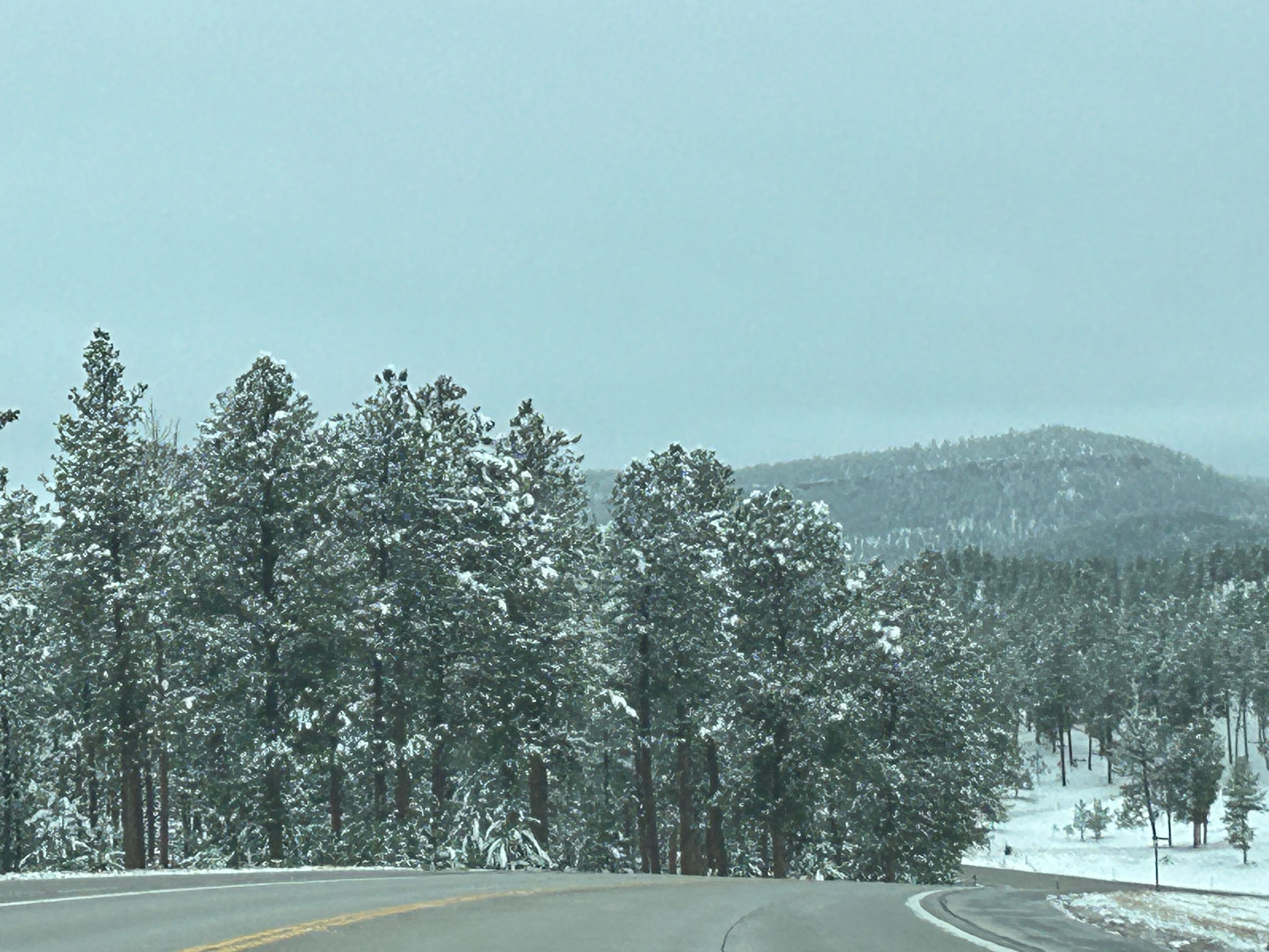
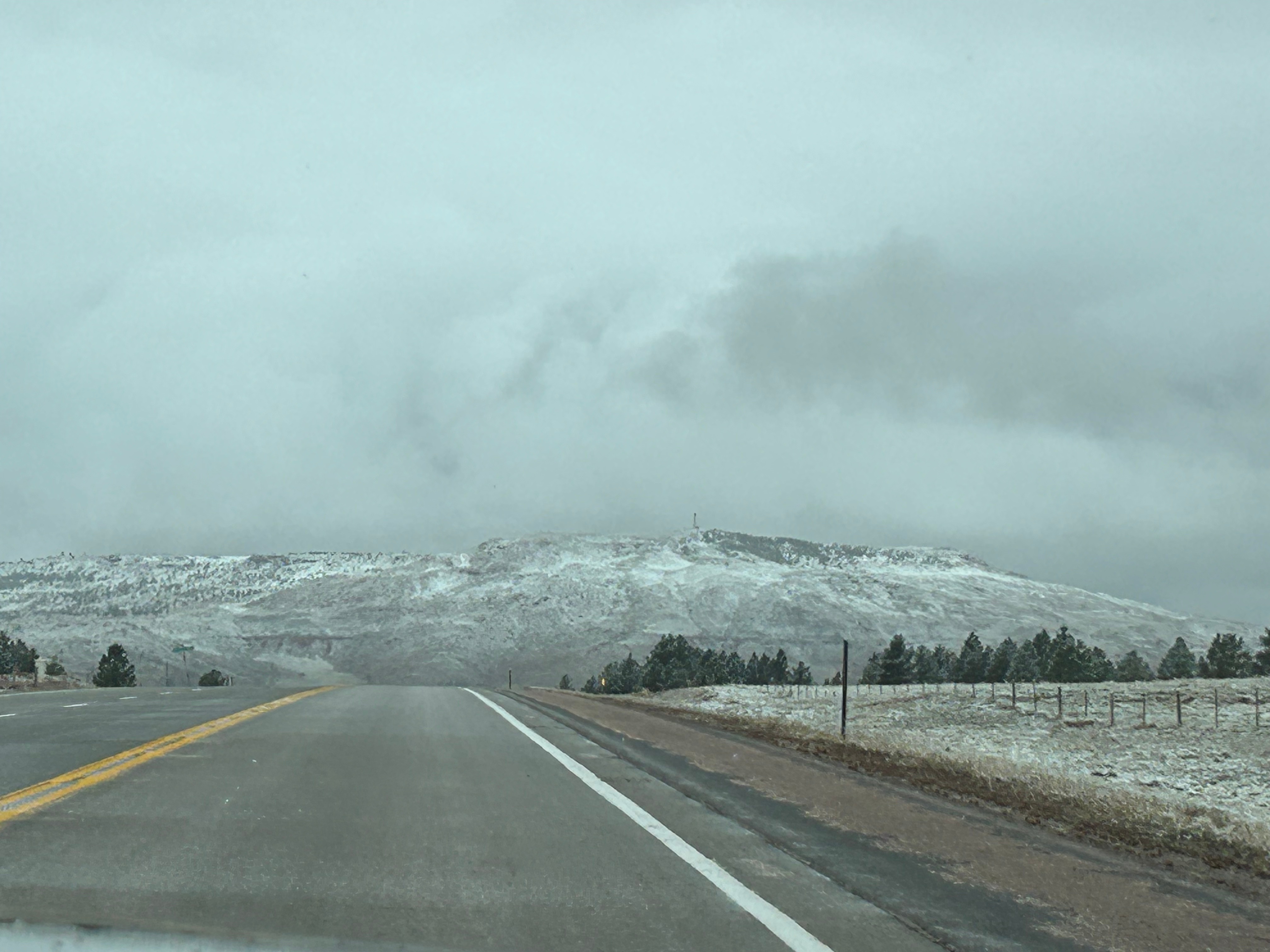
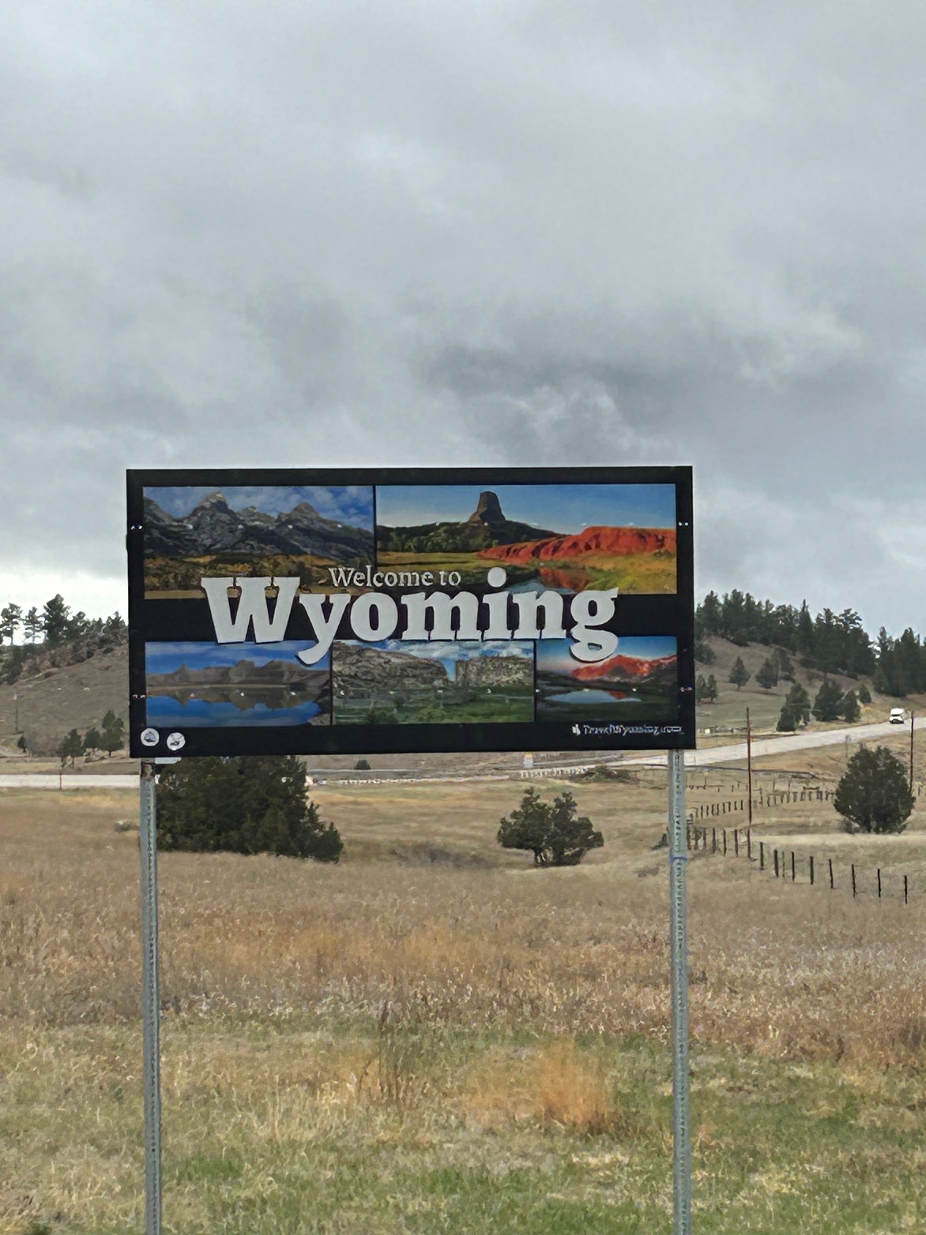
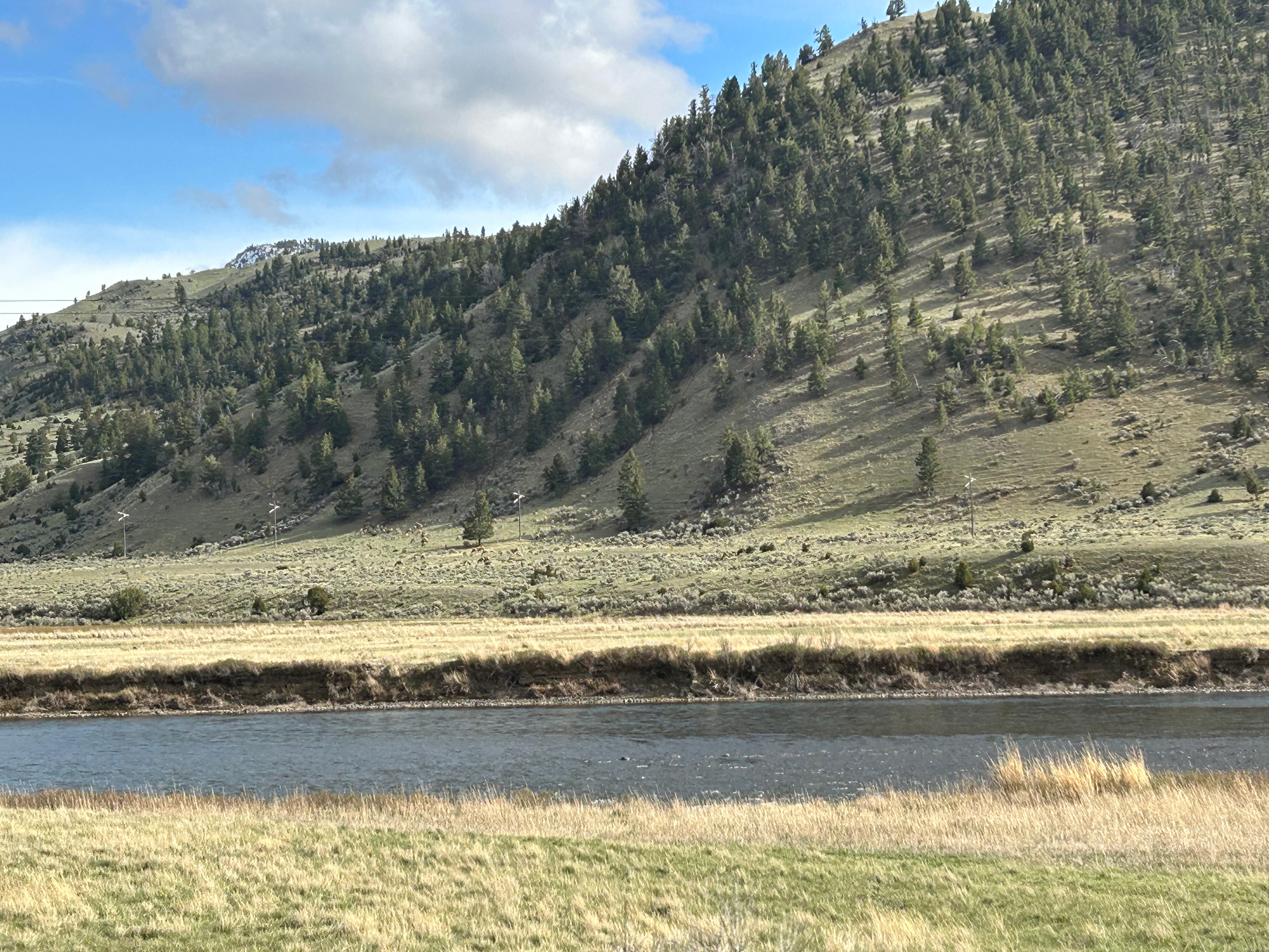
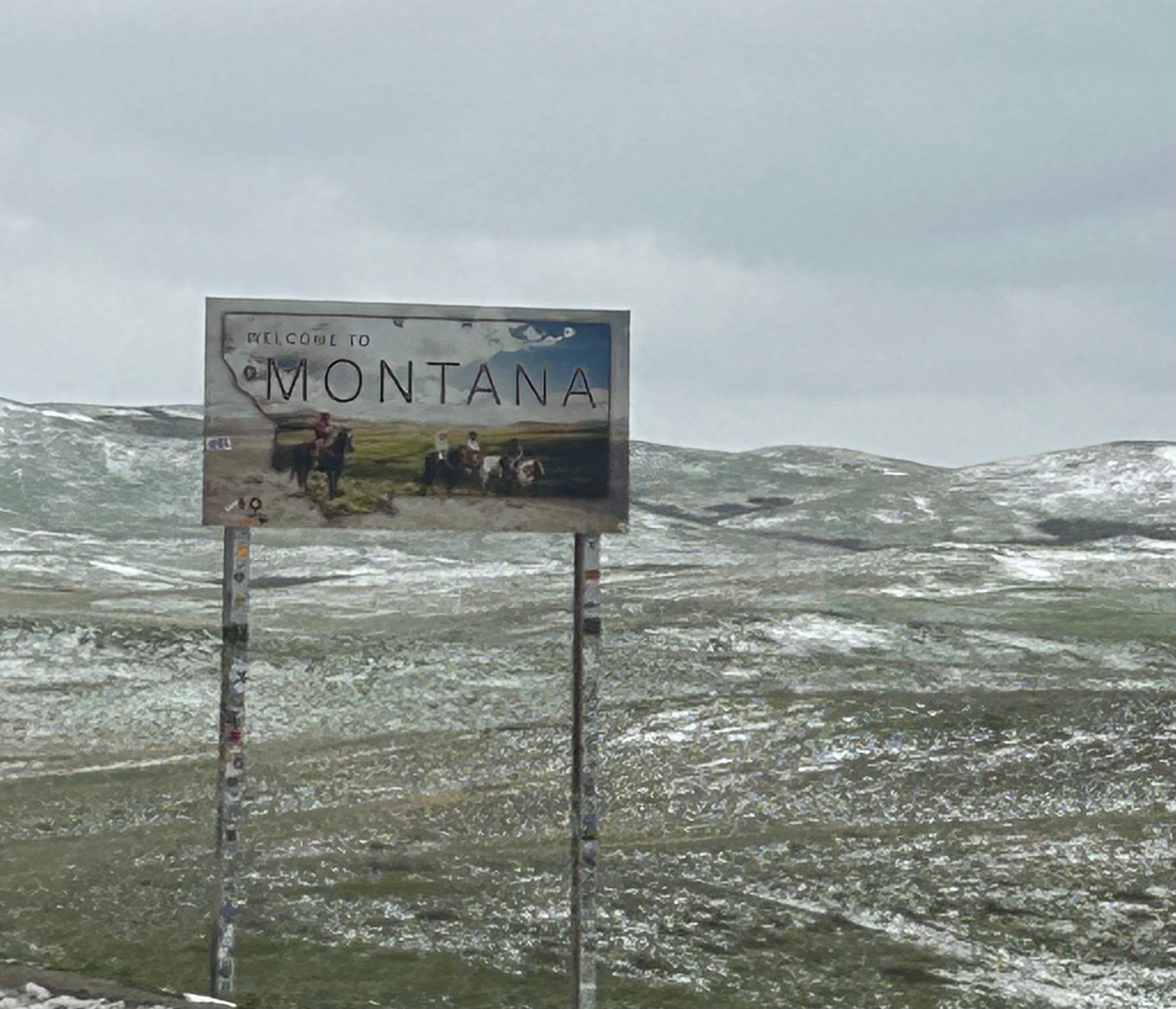
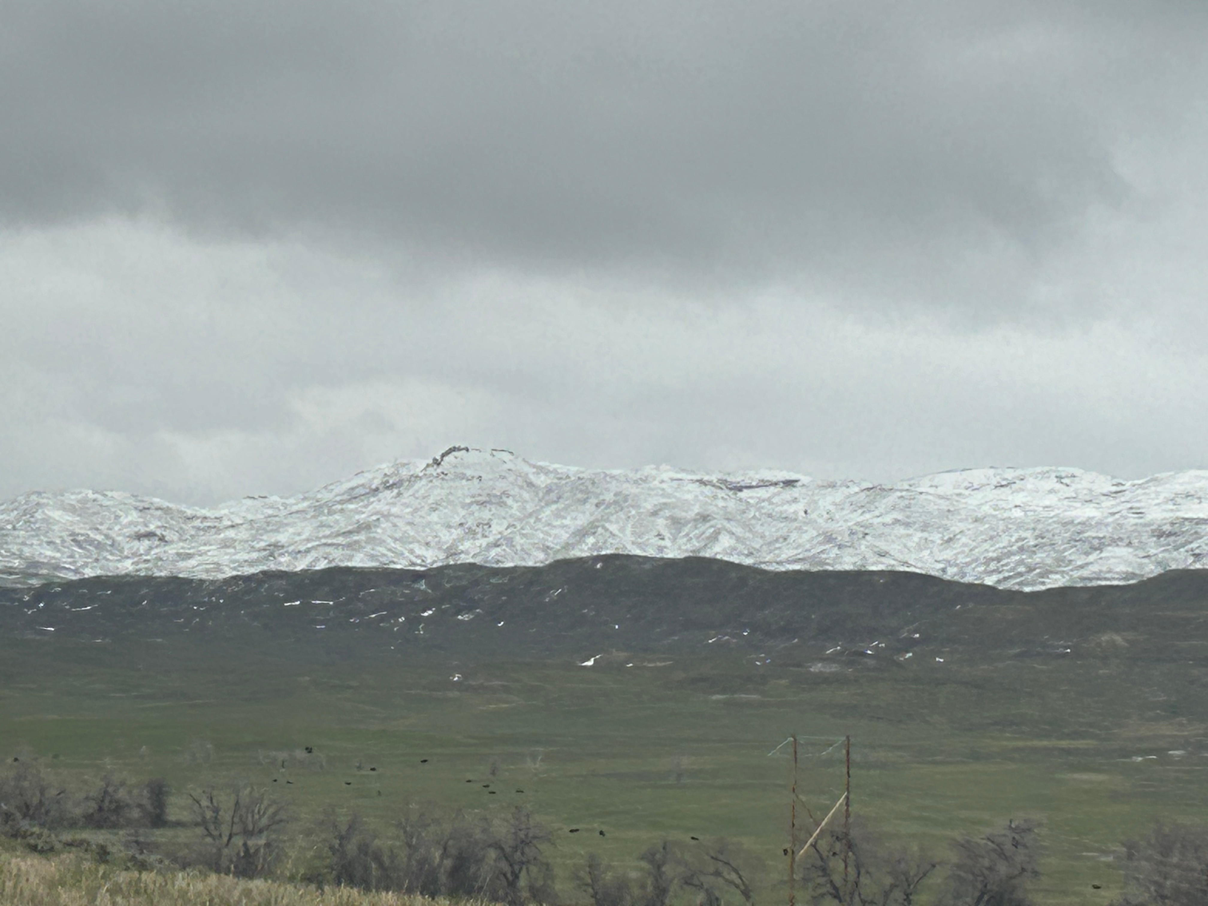
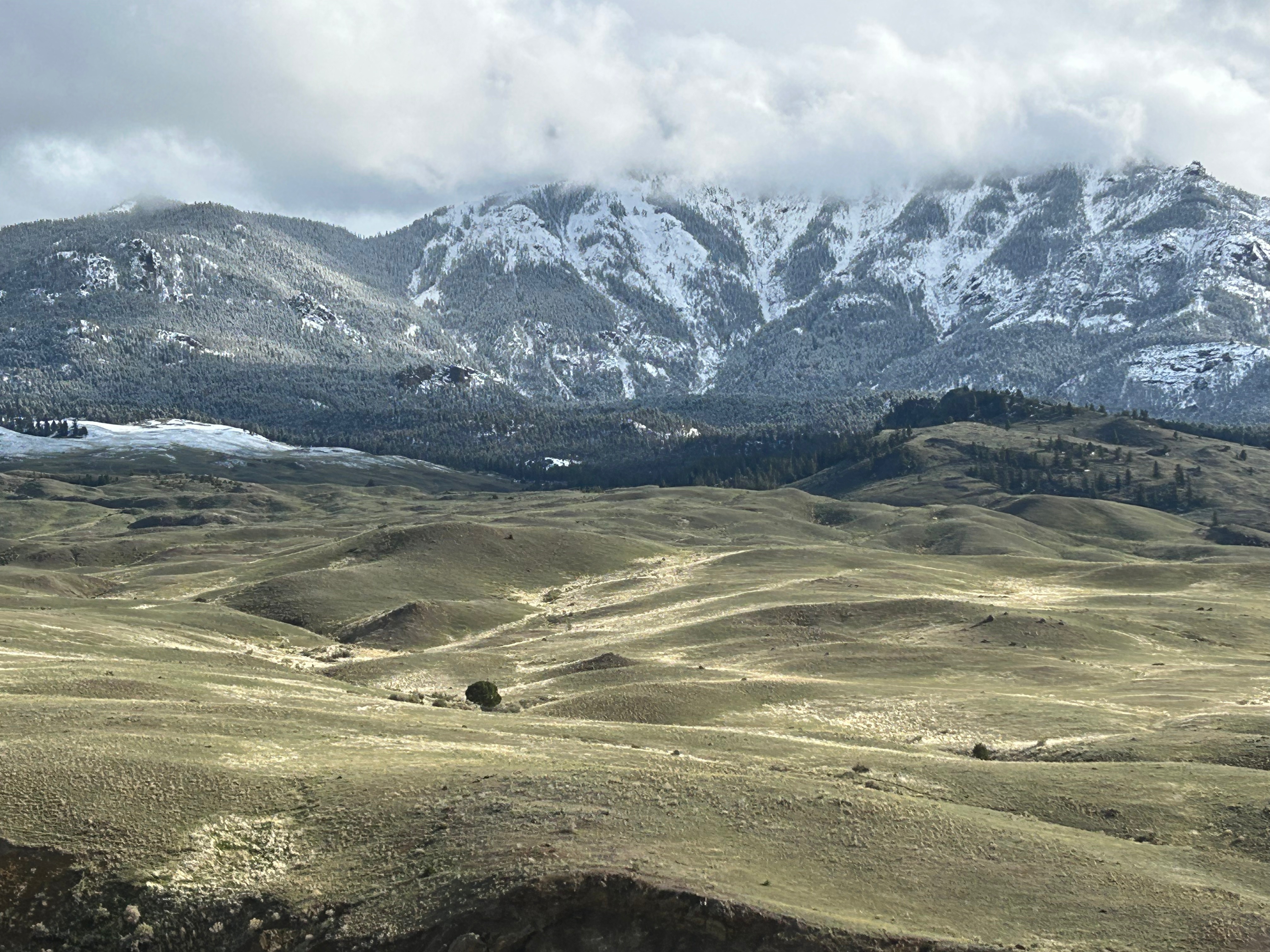
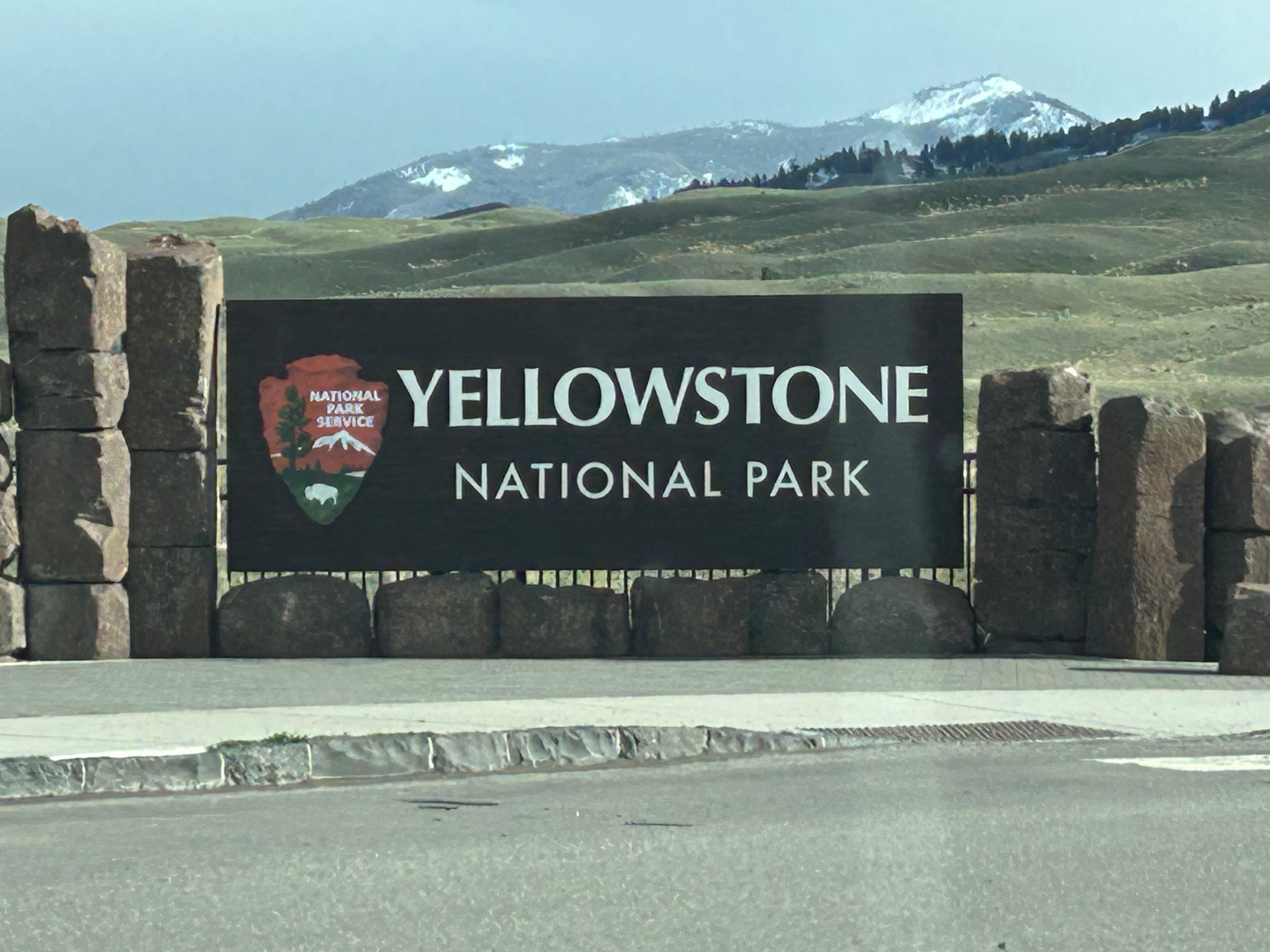
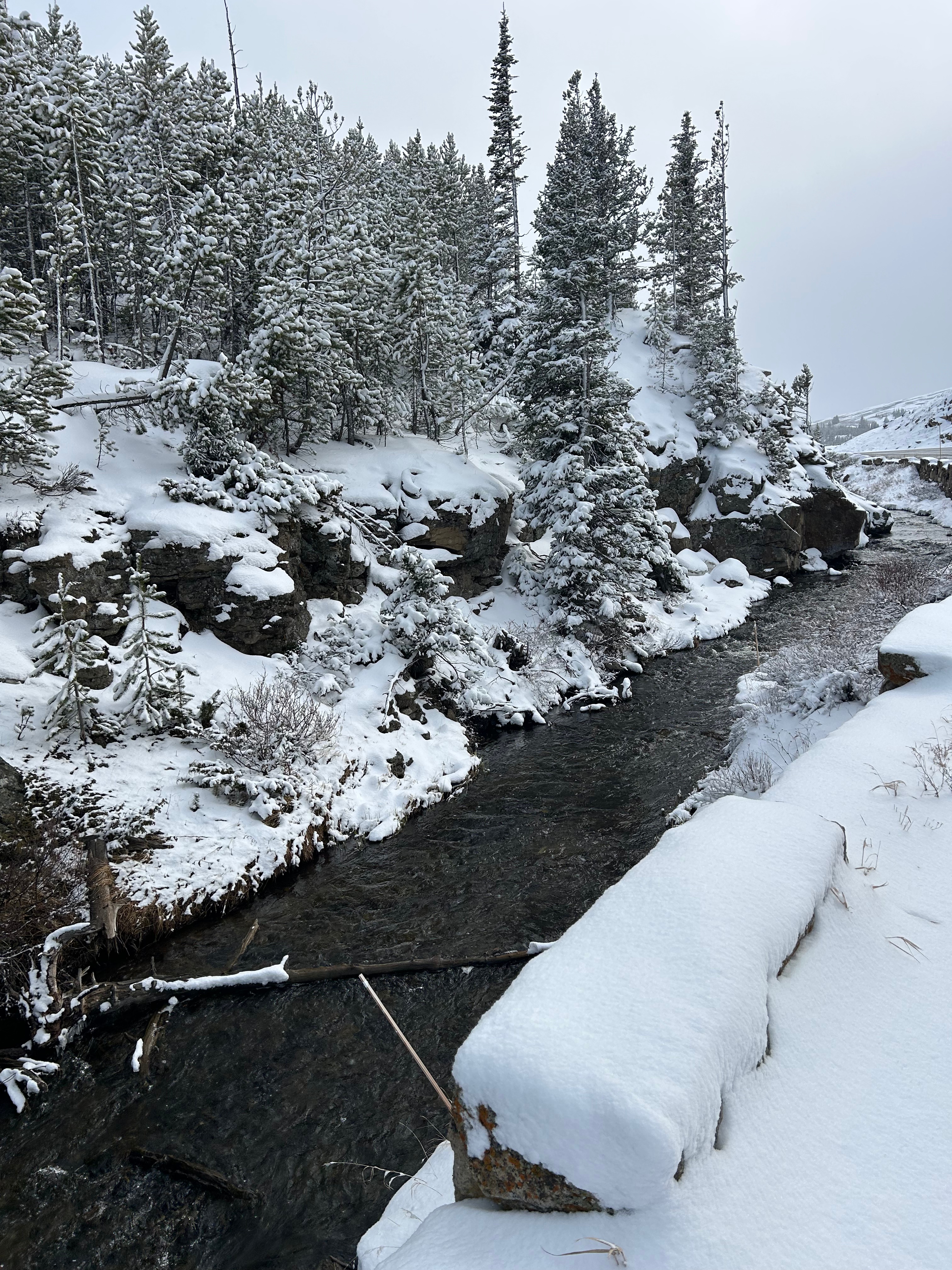
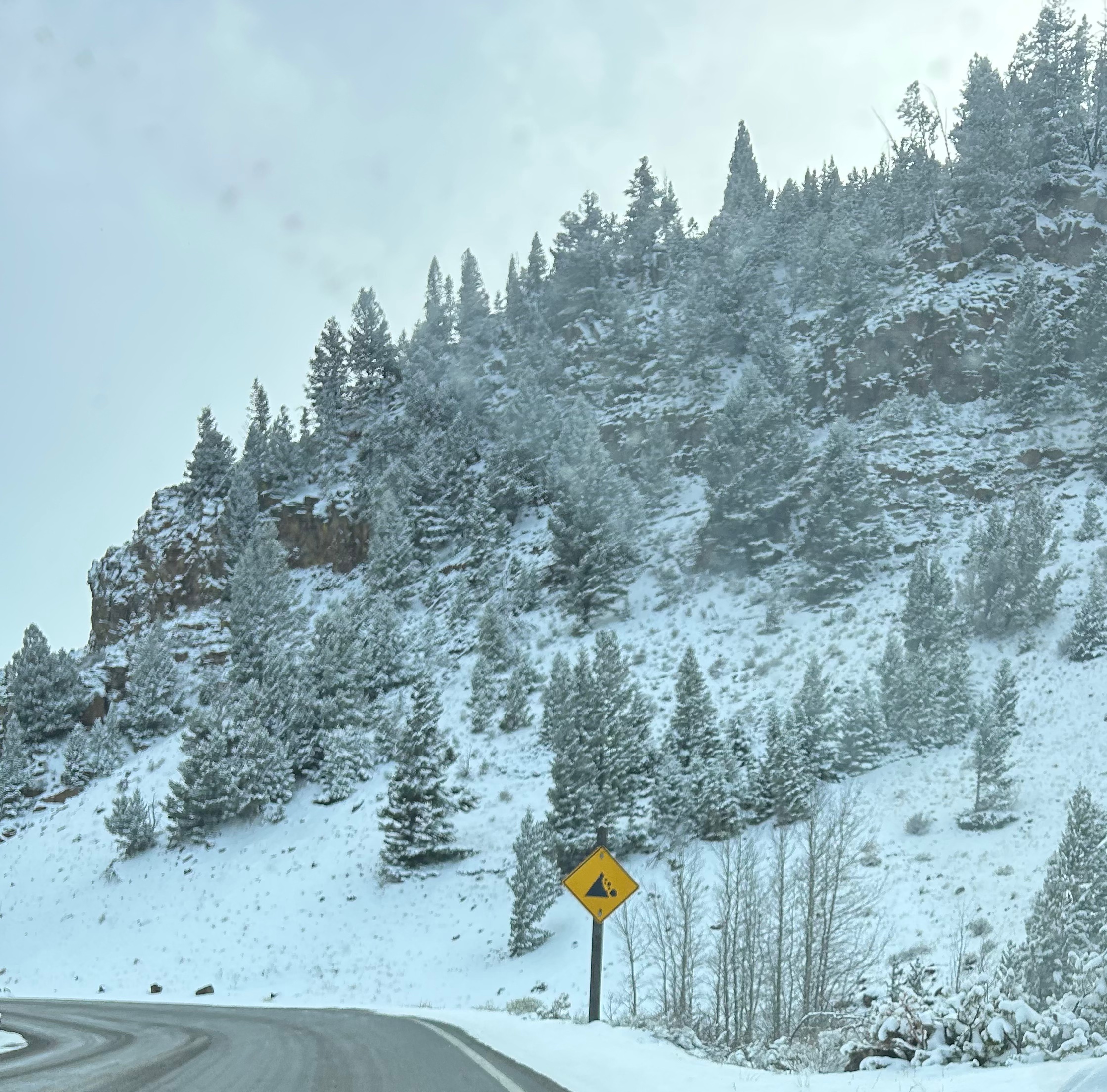
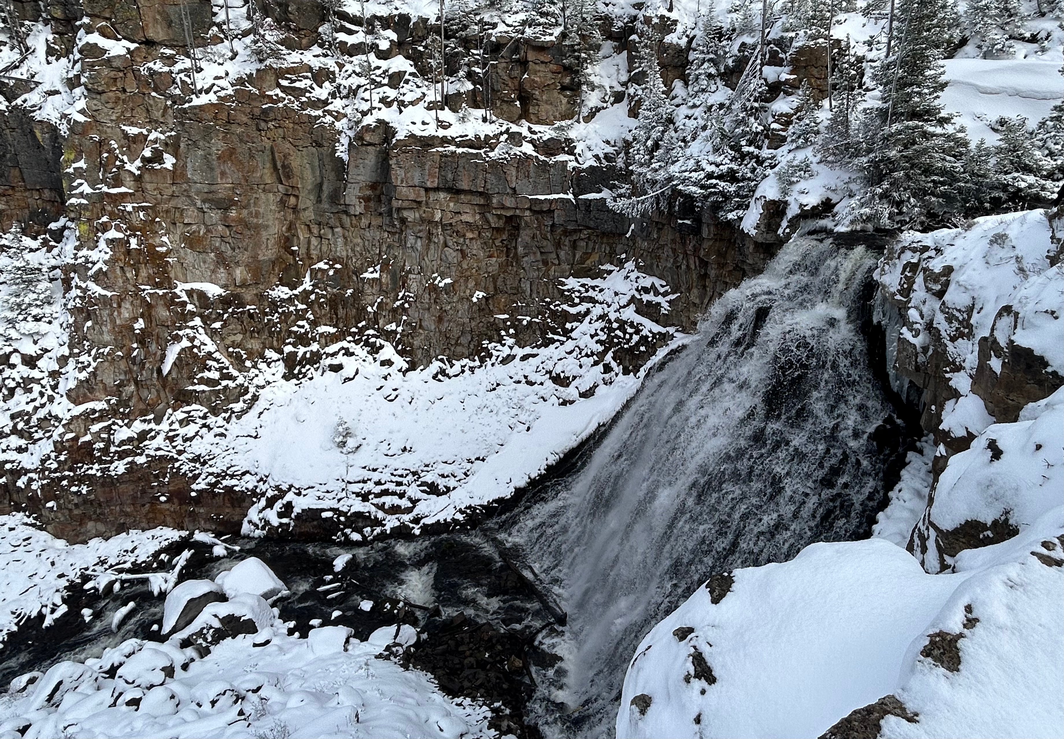
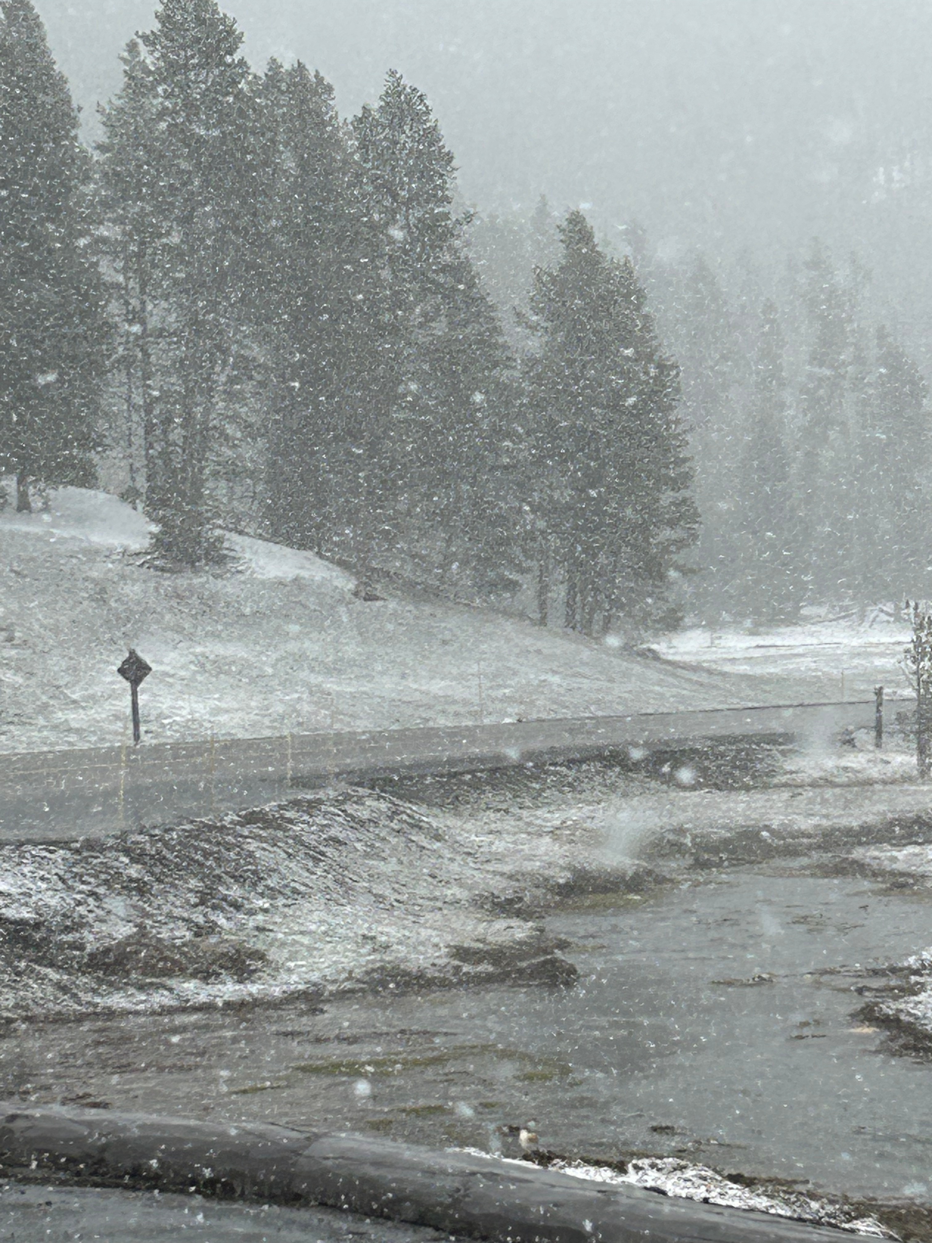
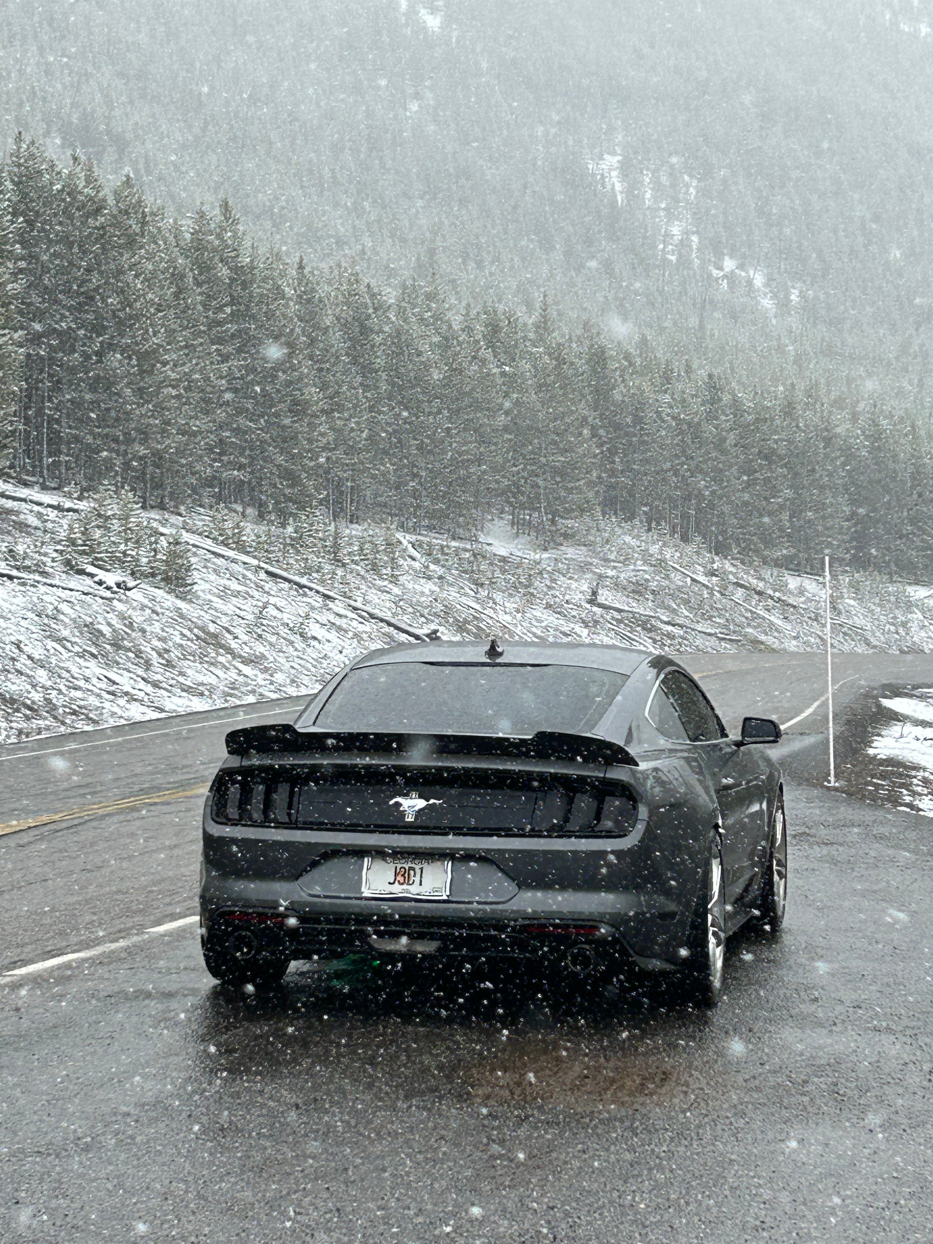
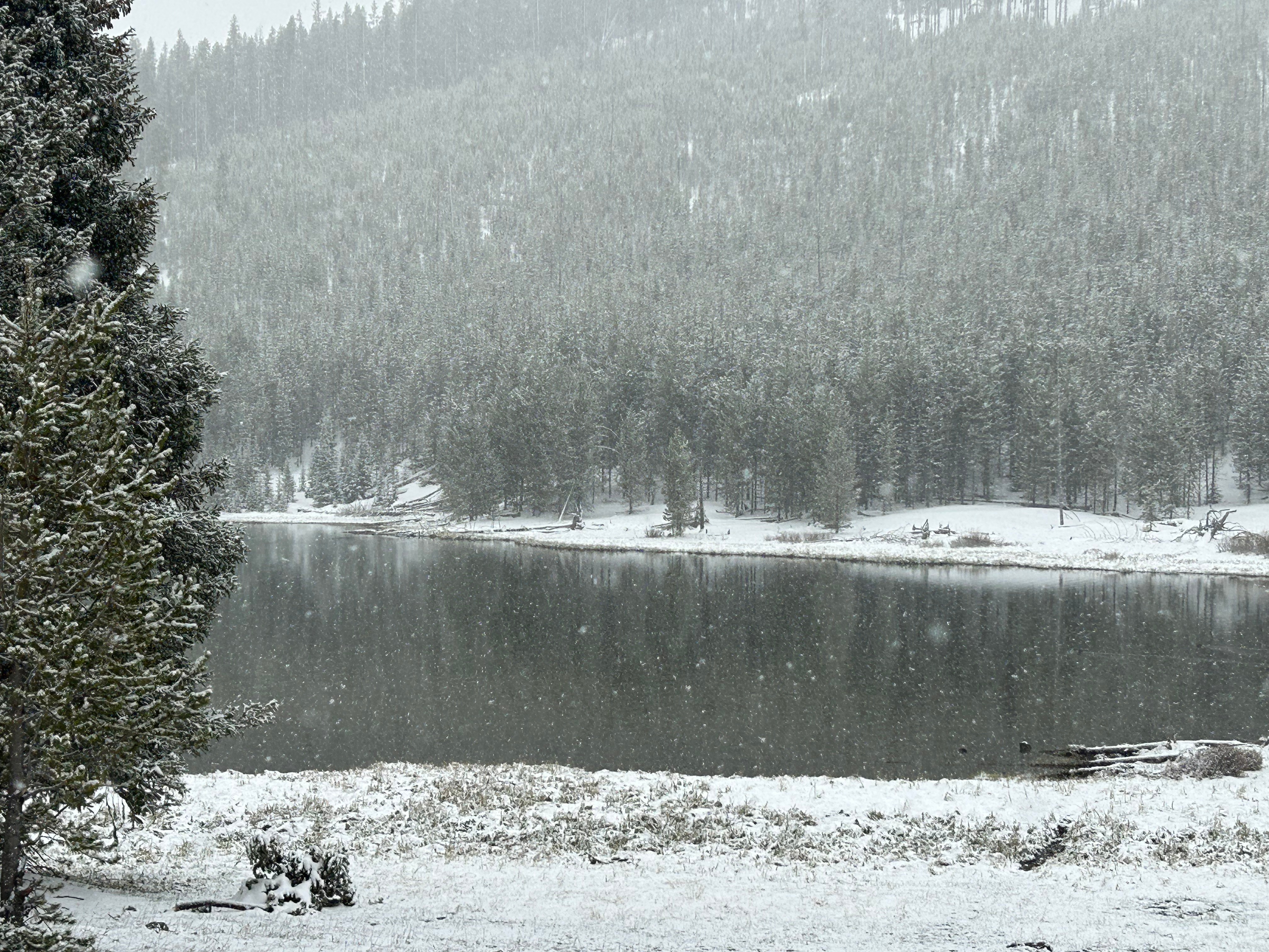
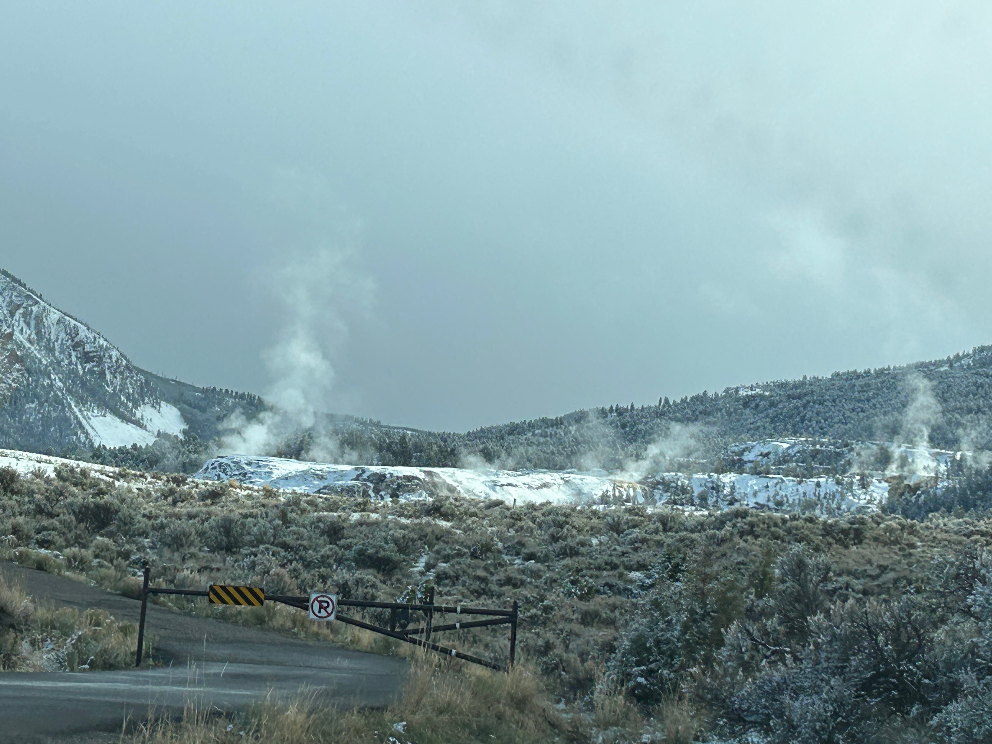
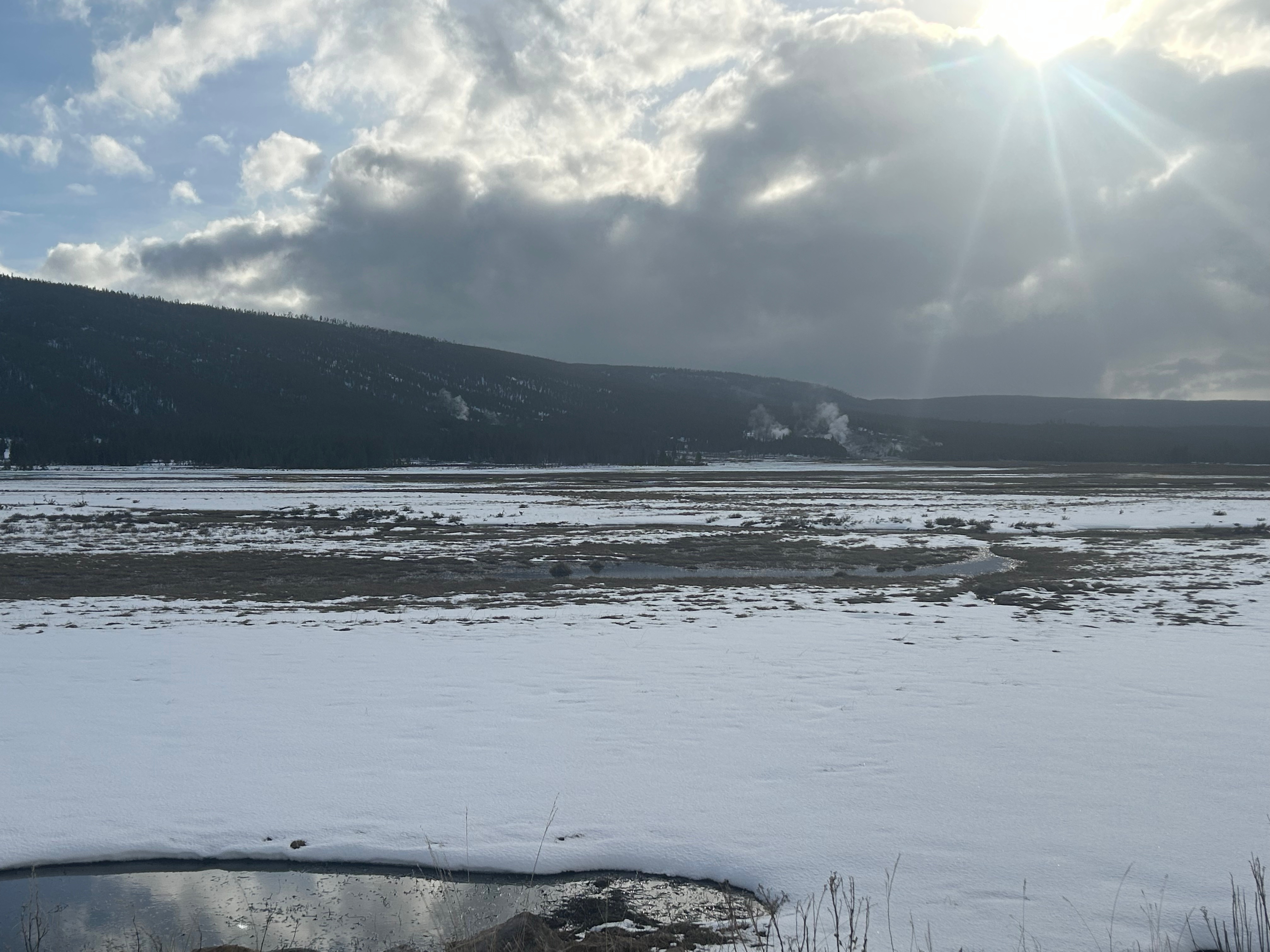
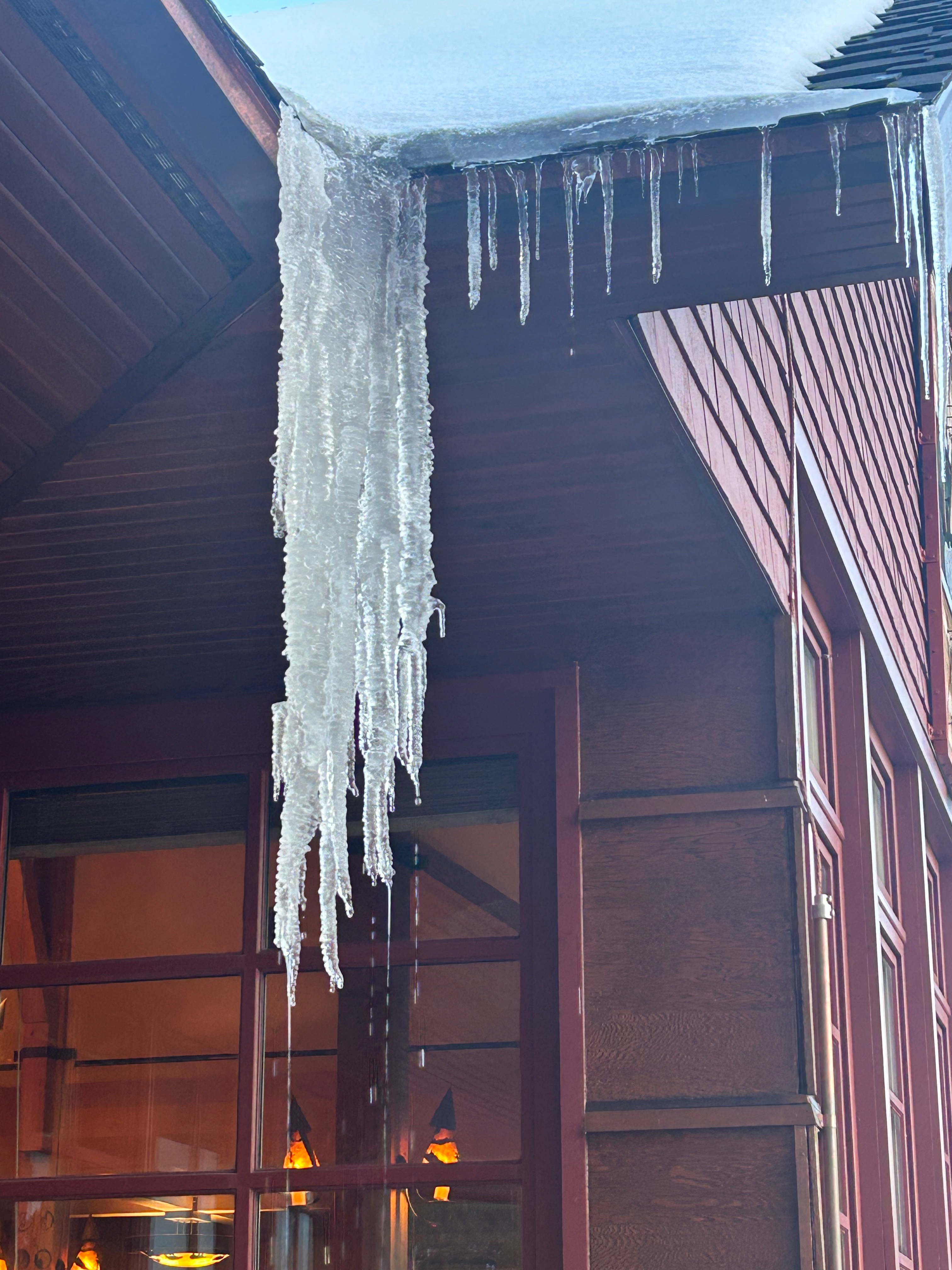
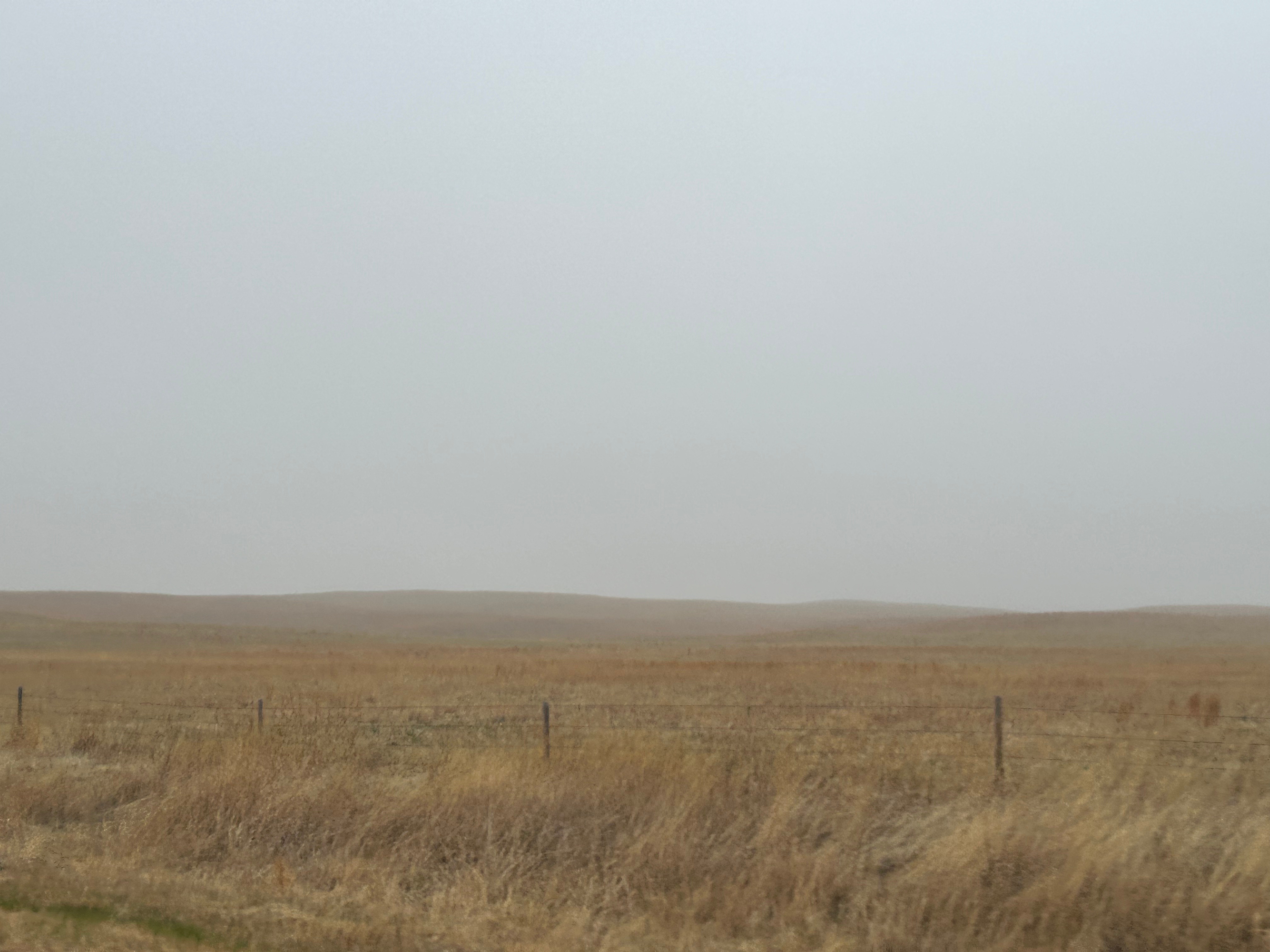
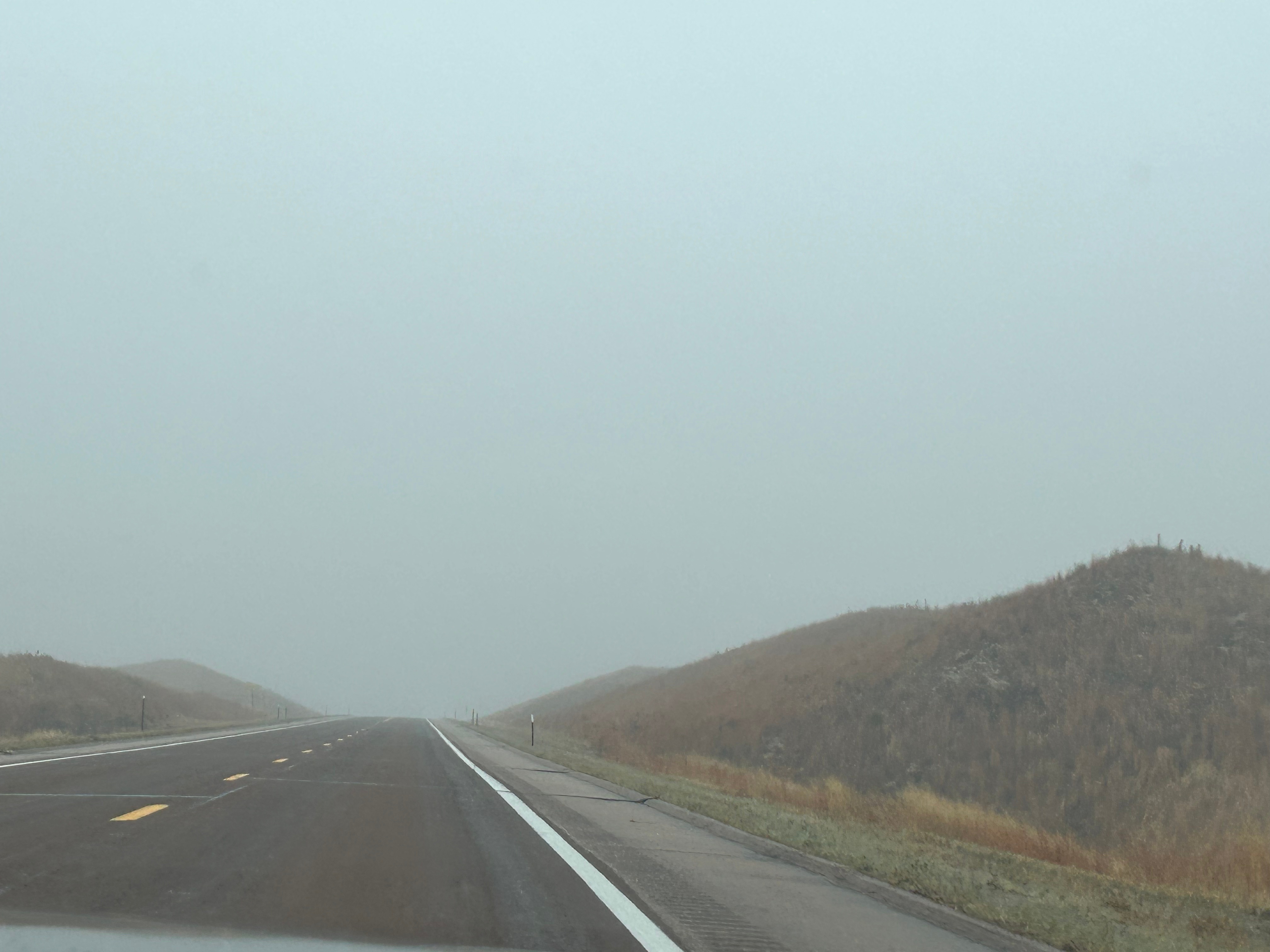
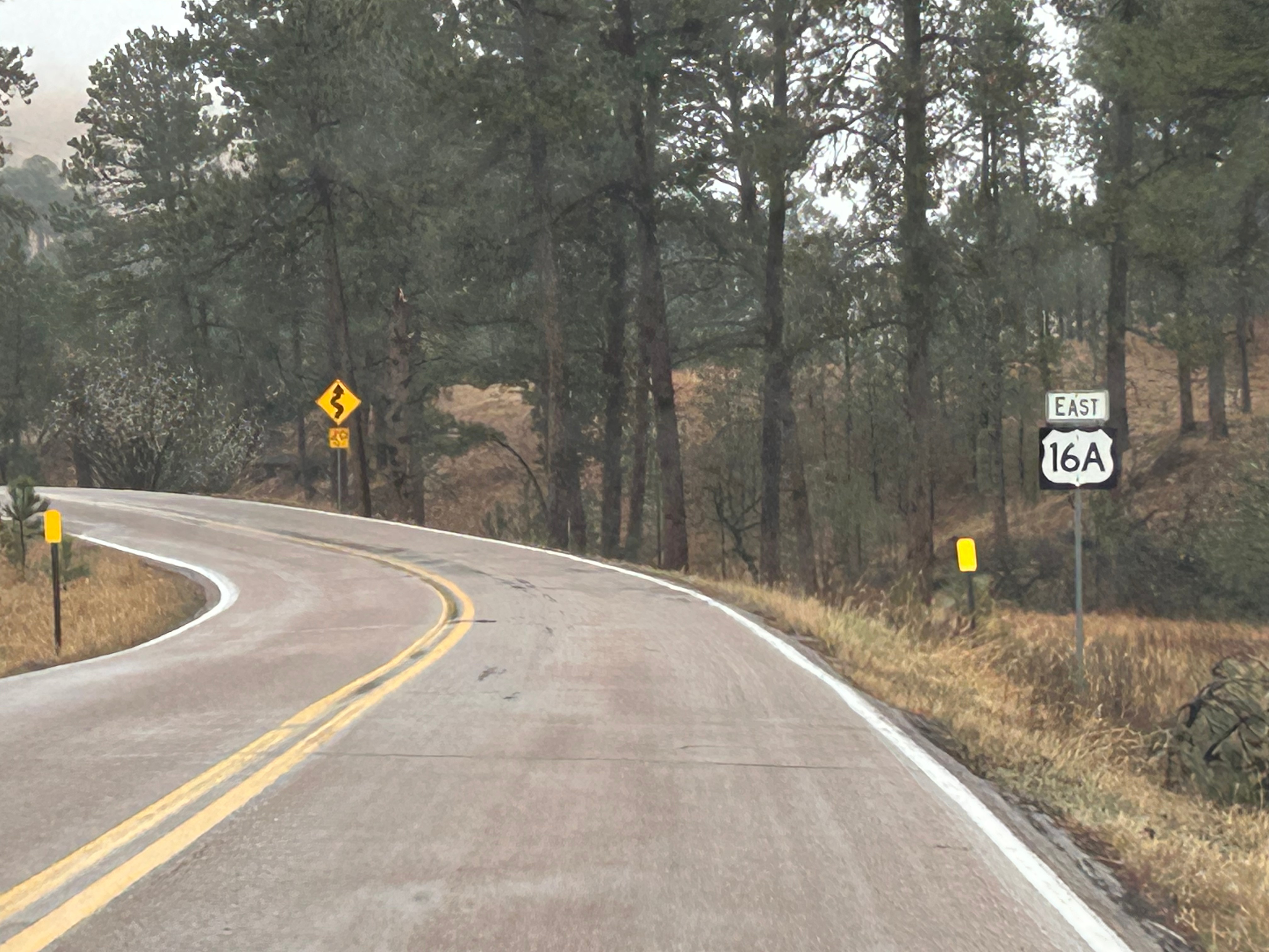
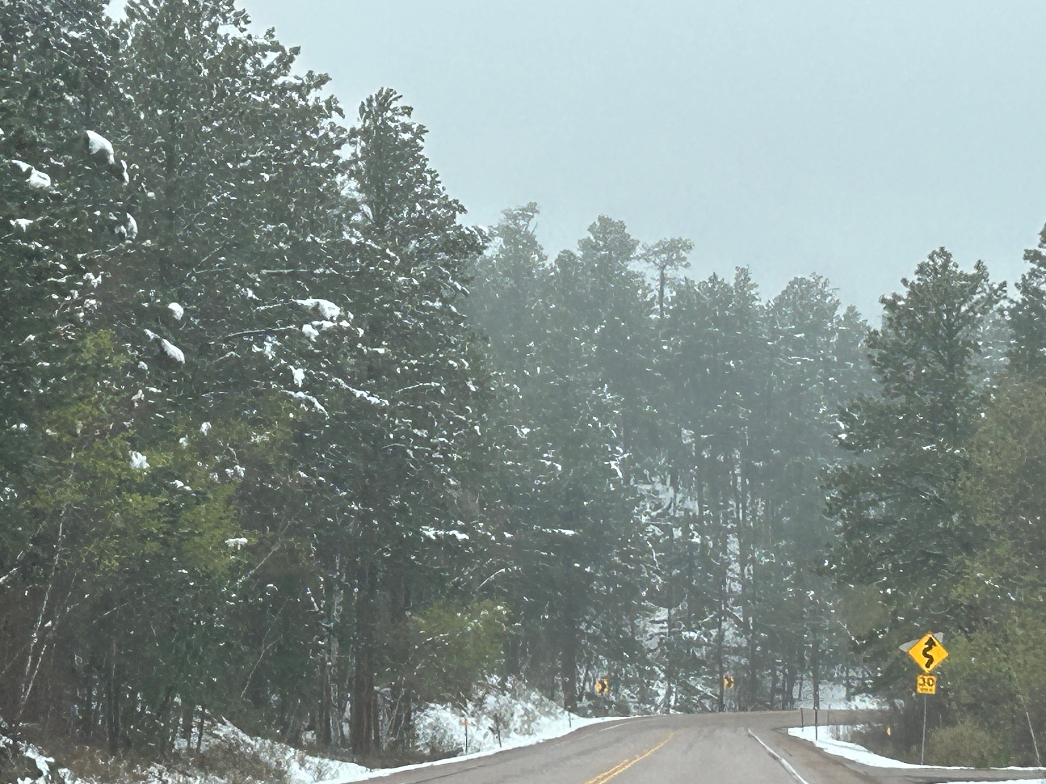
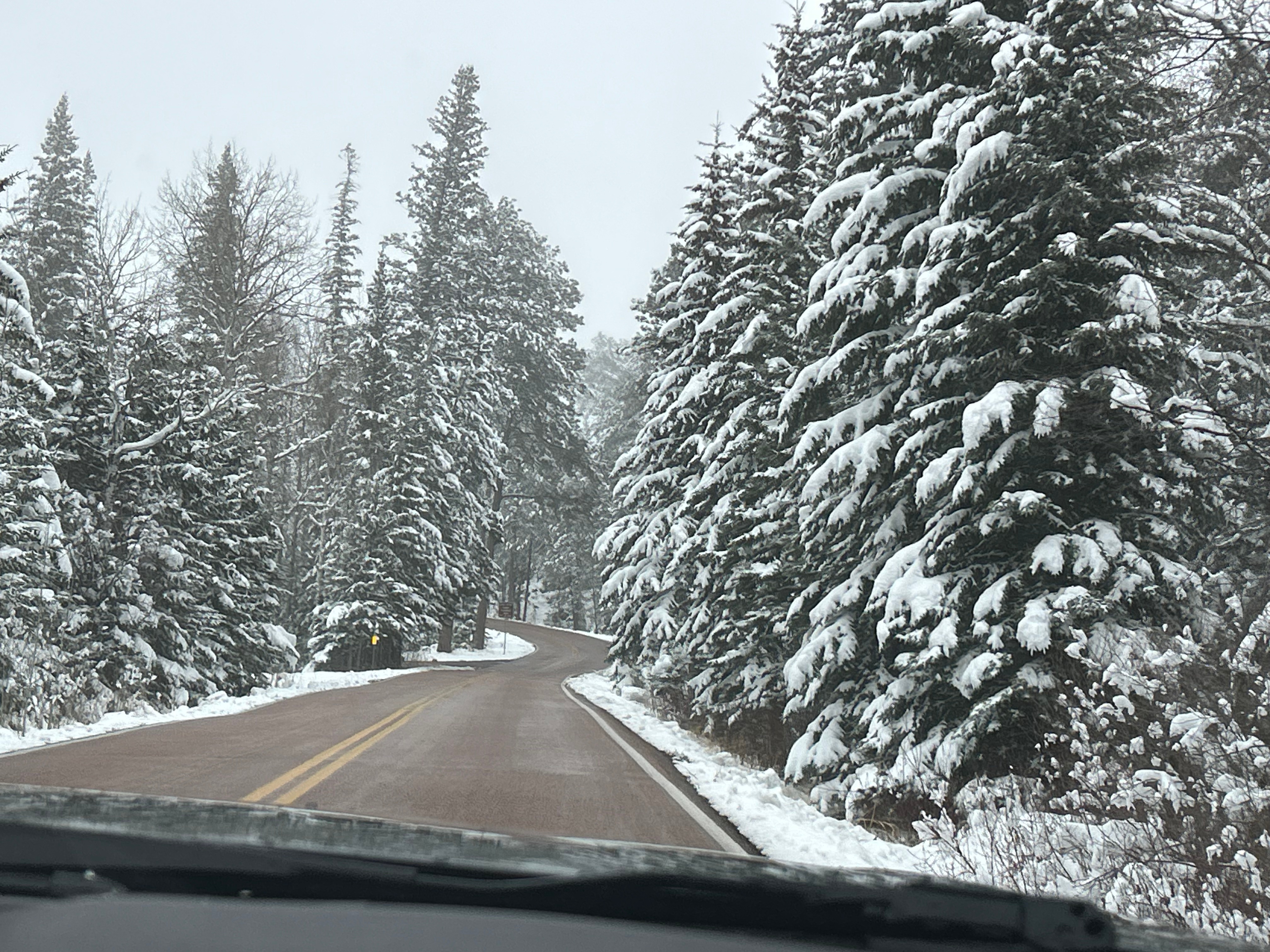
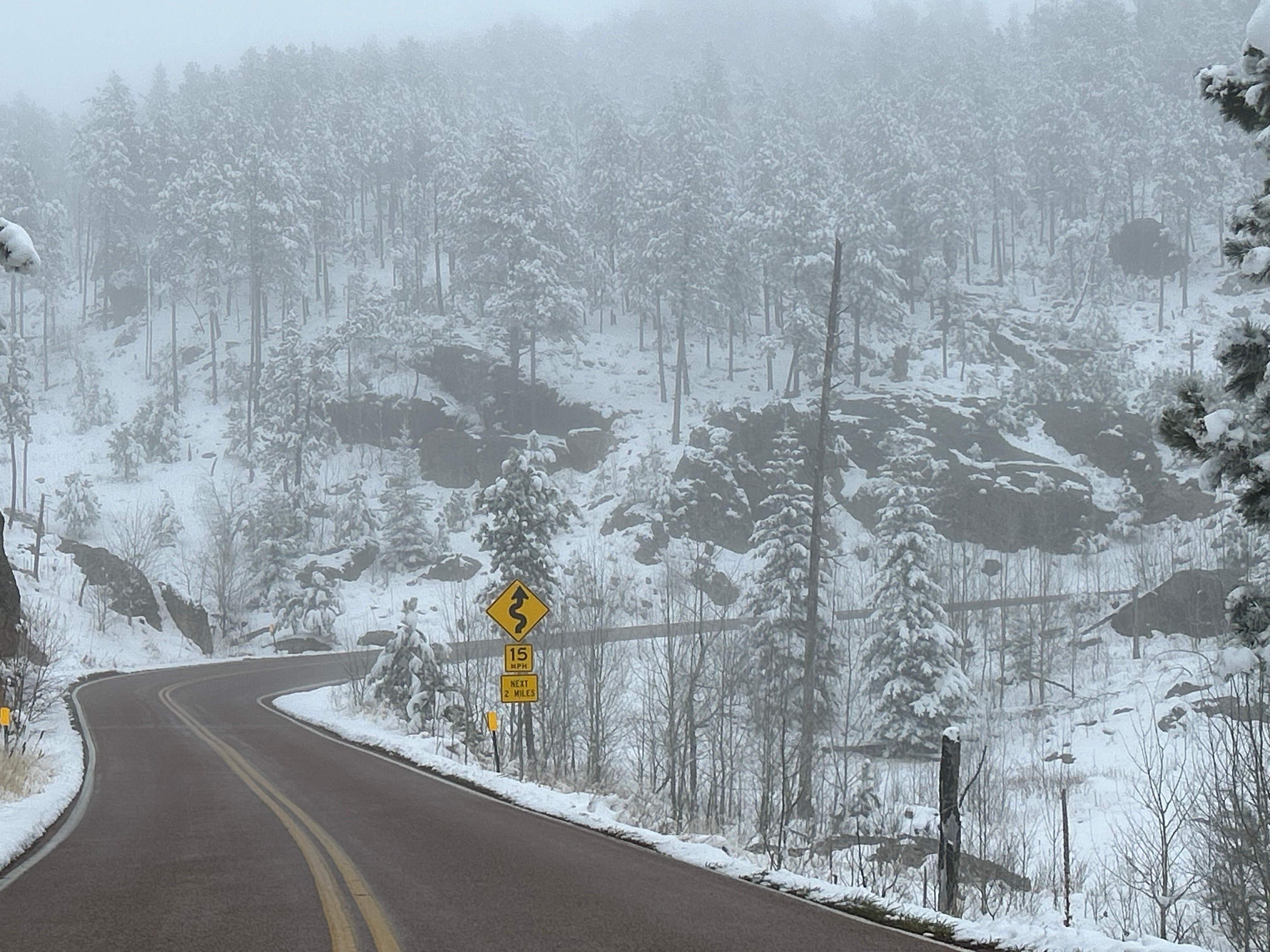
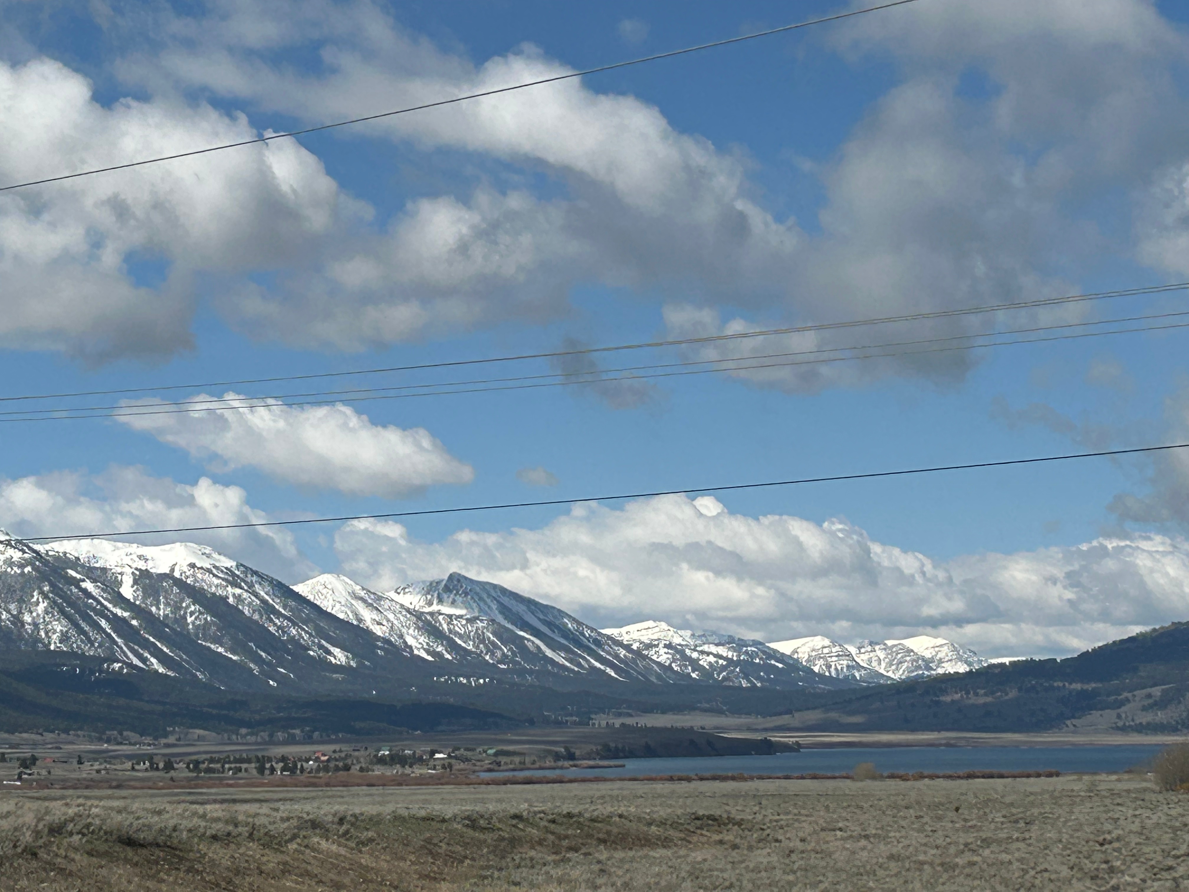
Our departure route was also altered from our original plans, also due to snowy weather. We planned to leave through the south exit, but instead had to go north and then west to get out. Saying goodbye to Wyoming, we entered another section of Montana. We weren’t on the road before long before we crossed over into Idaho. (I sadly don’t have a pic of the Idaho welcome sign because it was covered in stickers, which might have been cool if it wasn’t for the winter sludge remnant all over it.) The drive featured valleys peppered by mountains in the distance with the occasional town thrown in for flavor.

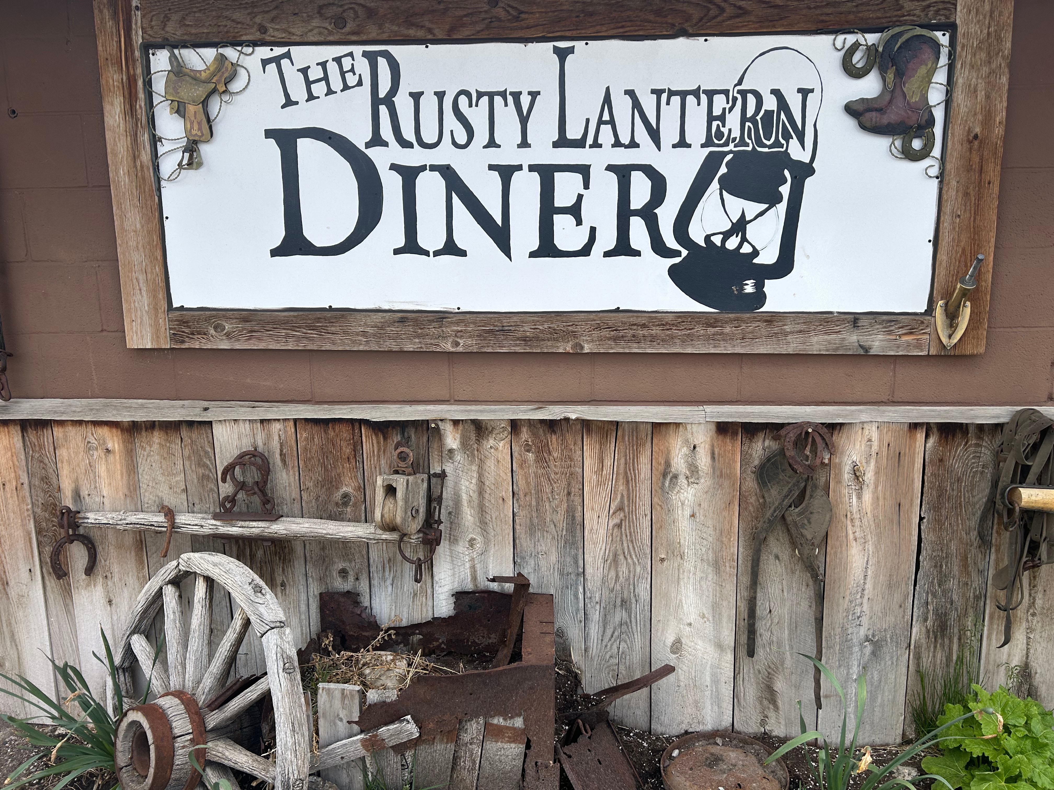
We searched for a local lunch spot along the way and found the oh-so-charming Rusty Lantern in Ucon. Stepping out of the car was a thrill because we had finally reached warmer temps. After spending days in the 20s-30s, it was glorious to step outside into the upper 50s. The restaurant was family-owned, and everyone was friendly. Better yet, the food was amazing. Seems like beef in this part of the country just tastes so much better. I don’t know if it’s fresher (being that there’s a lot of cattle up here) or if they just know how to cook it well.

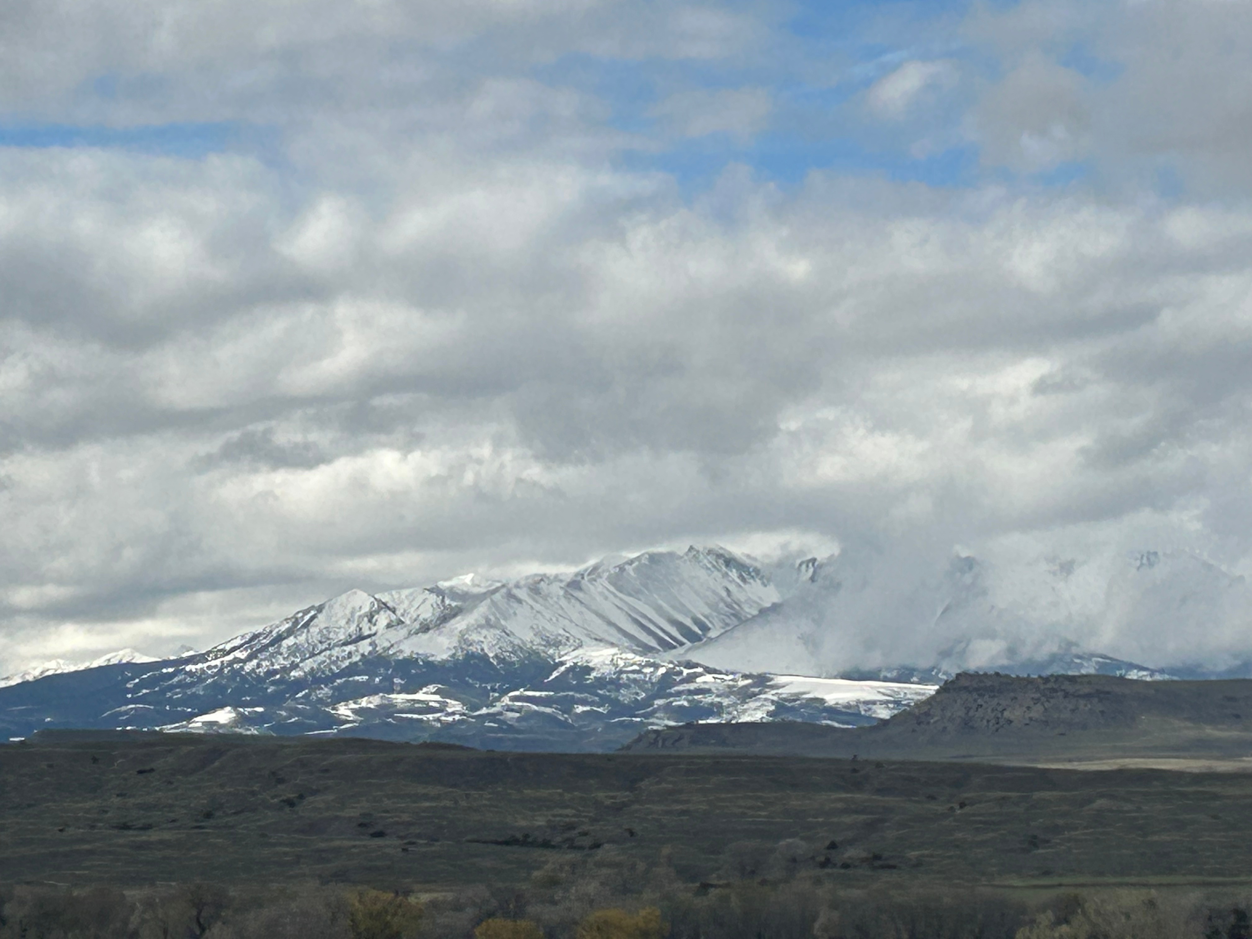
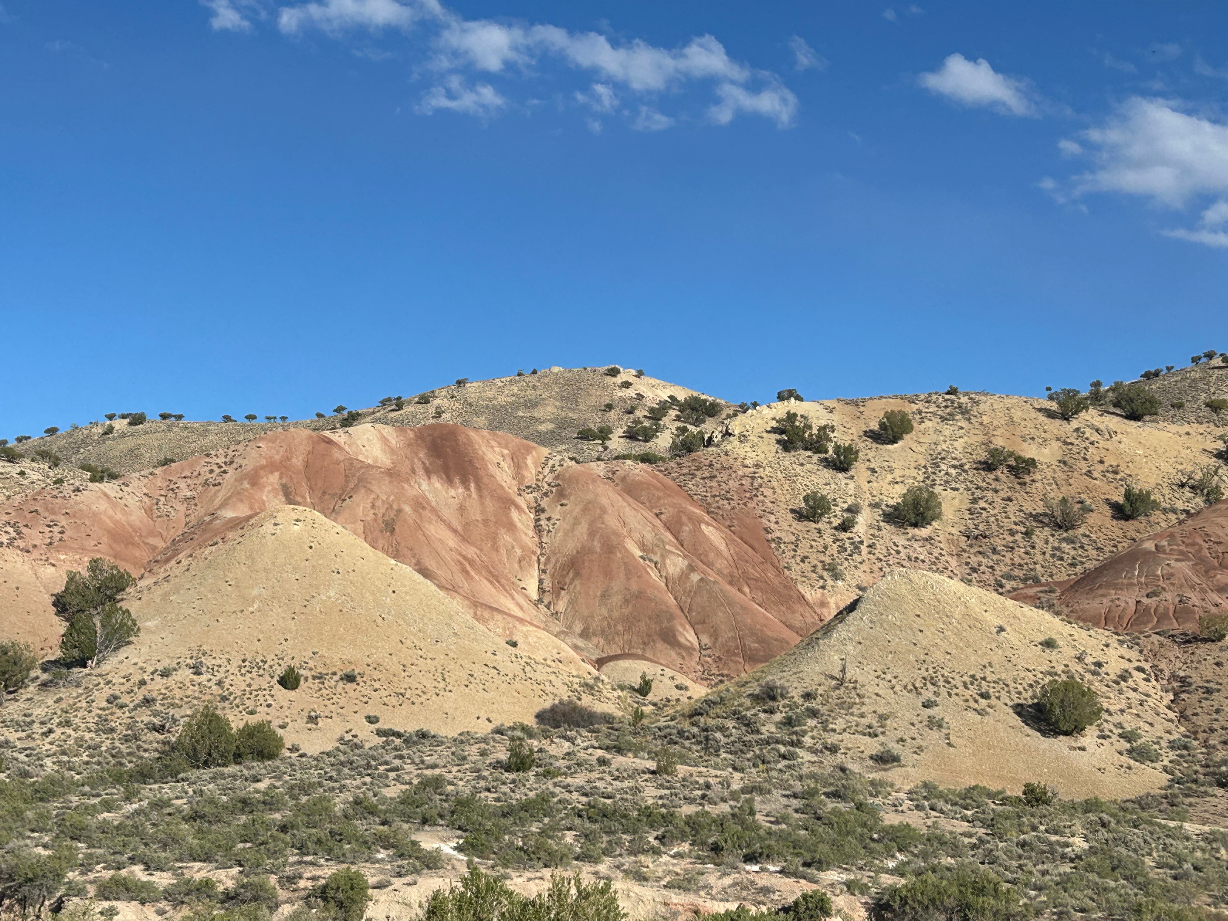
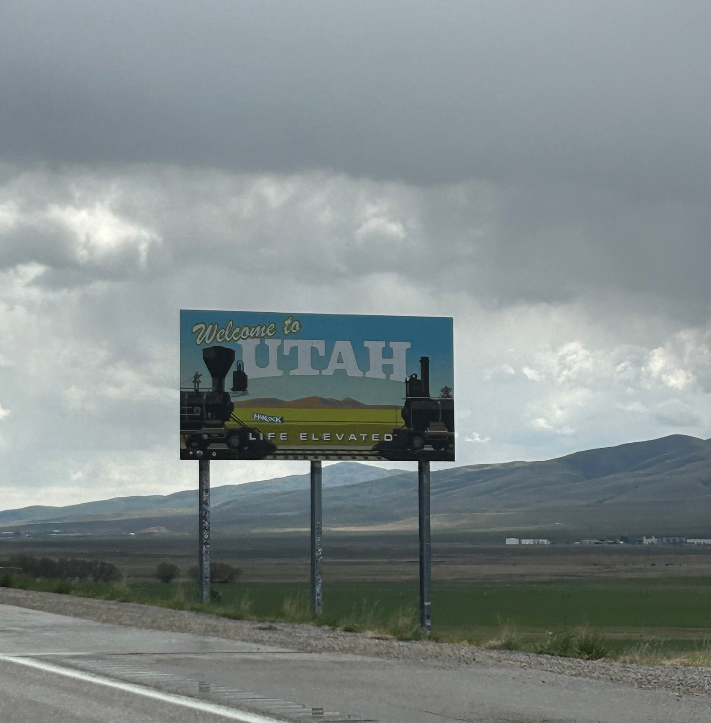
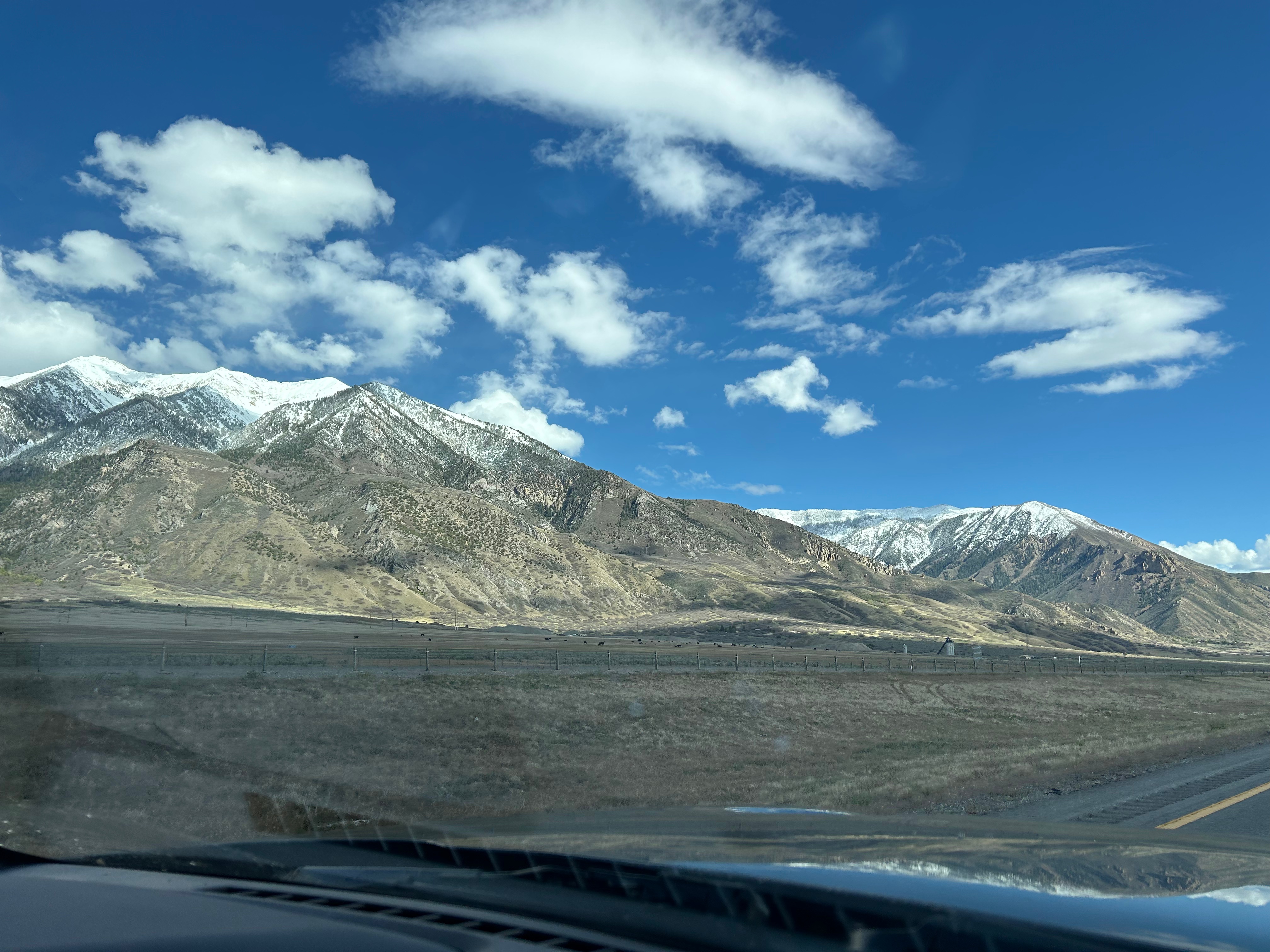
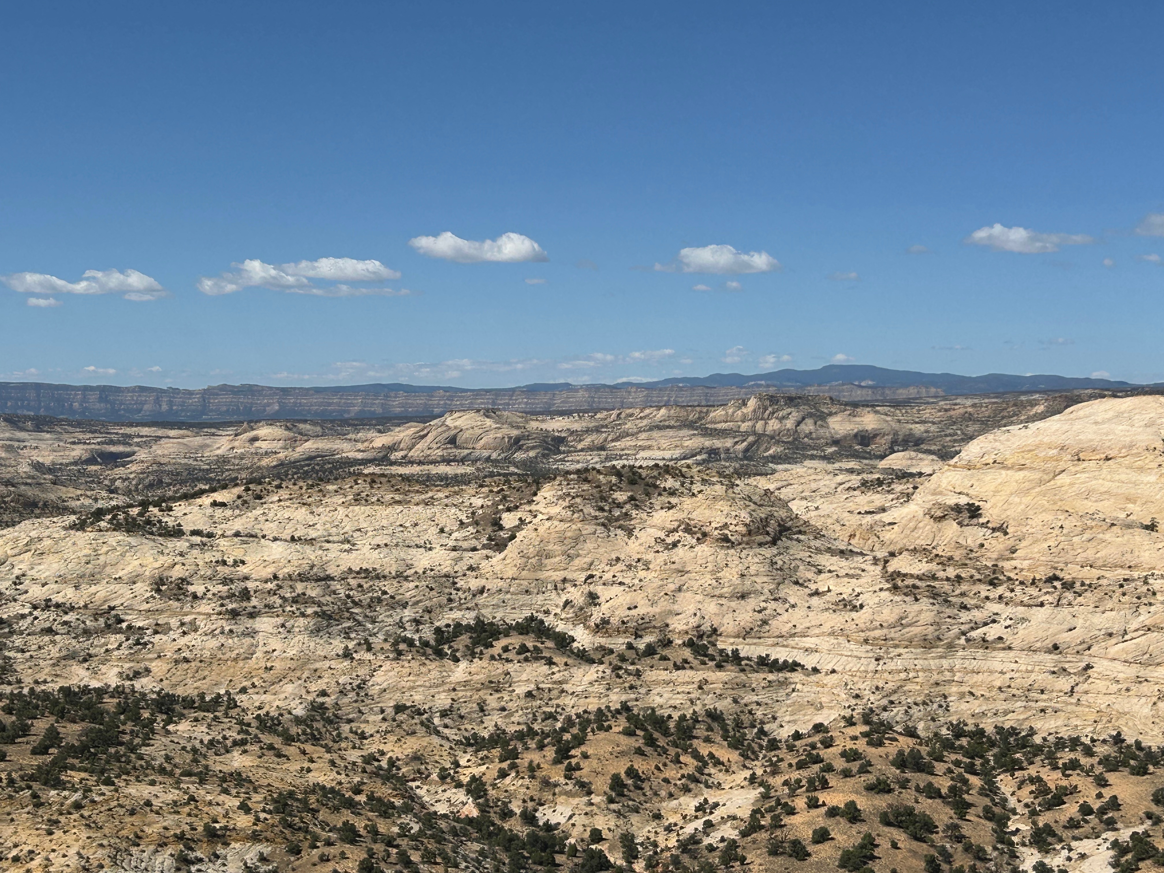
Time flew by after lunch and soon we were in Utah. We pretty much zipped through the state, and the mountains started getting bigger again. South of Salt Lake City, we veered off the interstate towards the little town of Torrey. Every mountain view you can imagine was part of this drive: snow-capped mountains, lush green mountains, finger-like hills, desert mounds, and stone wall-like mountains streaked with color. Every color of the rainbow was present, and it was particulary beautiful late in the afternoon. I didn’t even try to take a picture; choosing just to soak it up in the moment. Plus, pictures (or at least my pictures) never do justice to these grand vistas–it’s so hard to capture the vastness, the scale, or even the vibrancy of colors. Just before landing for the night, we stopped for dinner at a little make-shift restaurant at a nearby campground. It was pretty unassuming, but served almost gourmet level food. I had a salad that looked like it jumped straight out of the garden, along with smoked chicken that could’ve come from a famous BBQ place. It can be a gamble with local places, but we lucked out twice in one day.

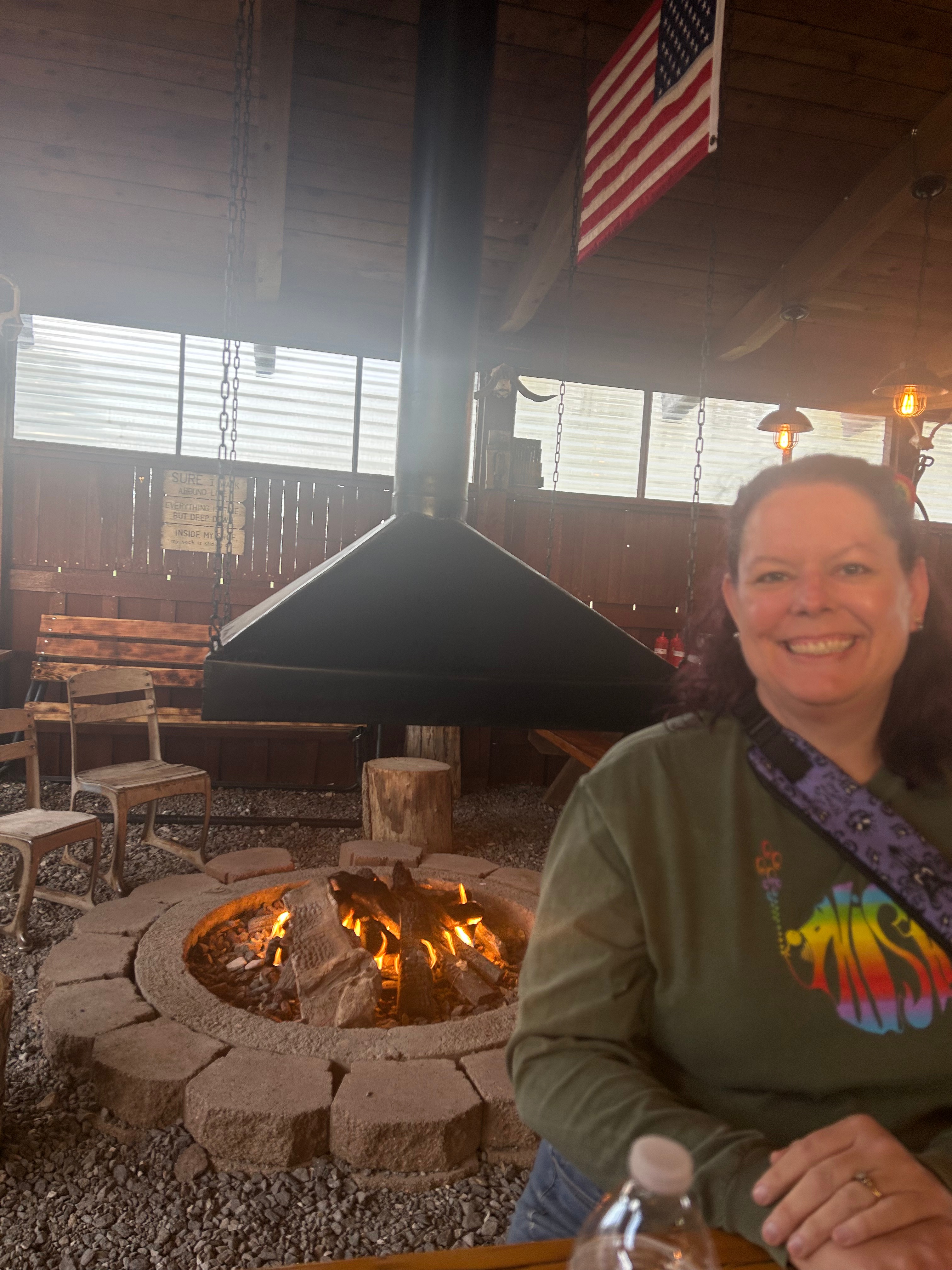
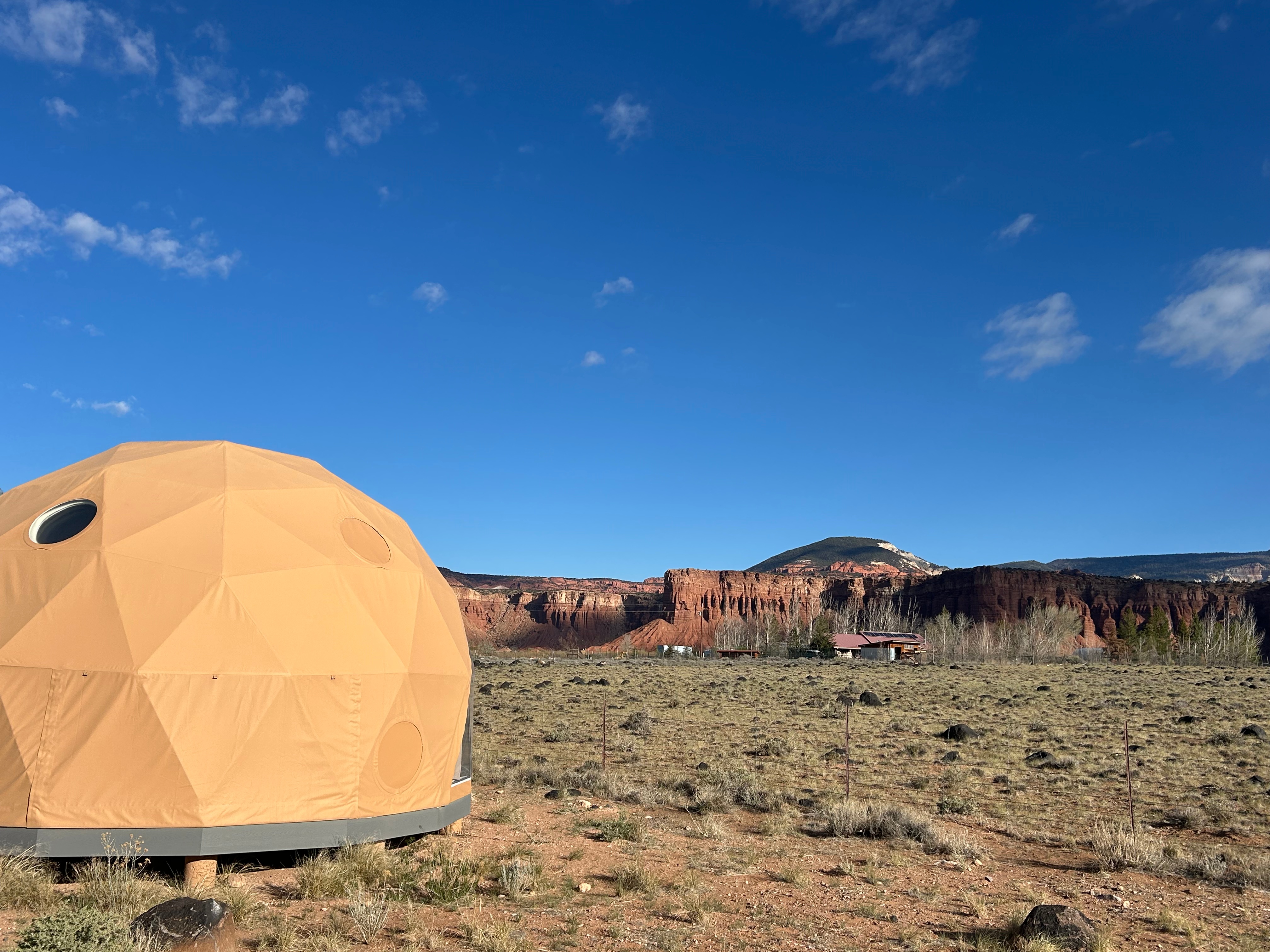
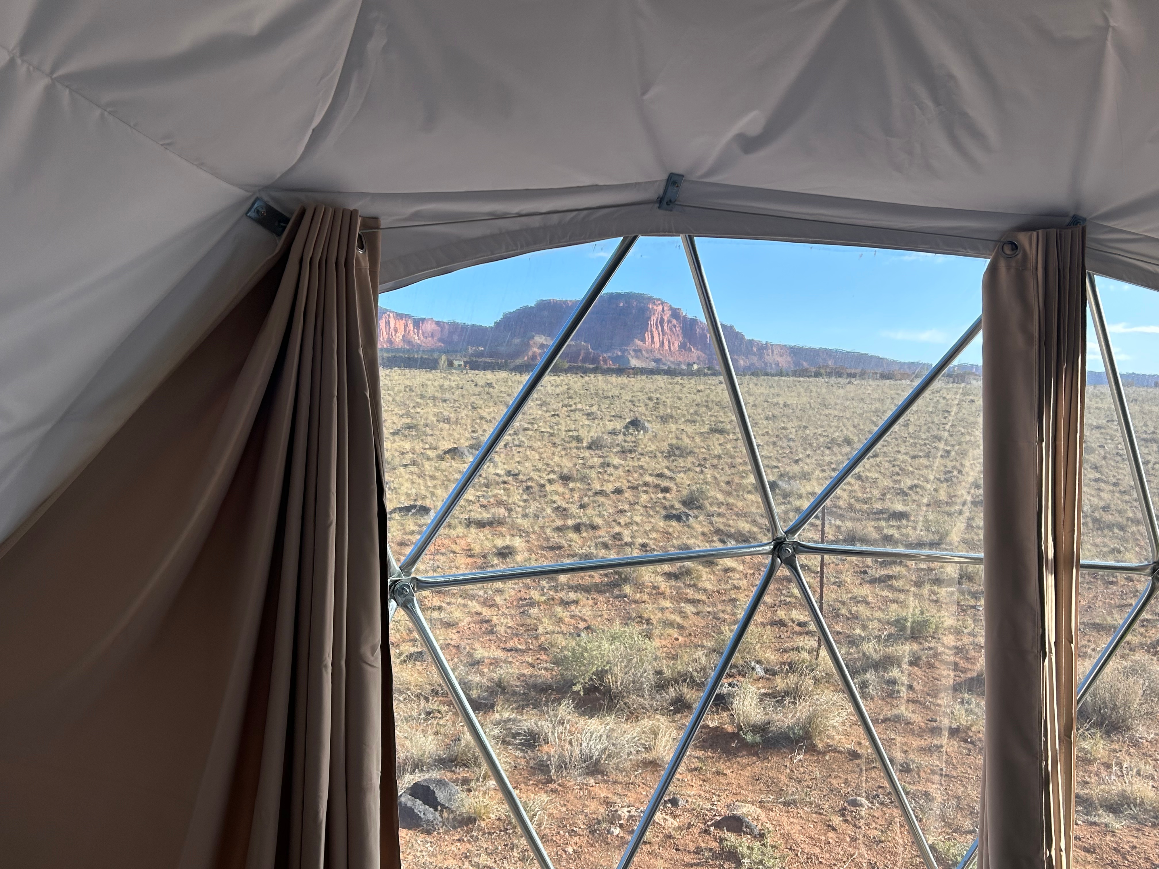
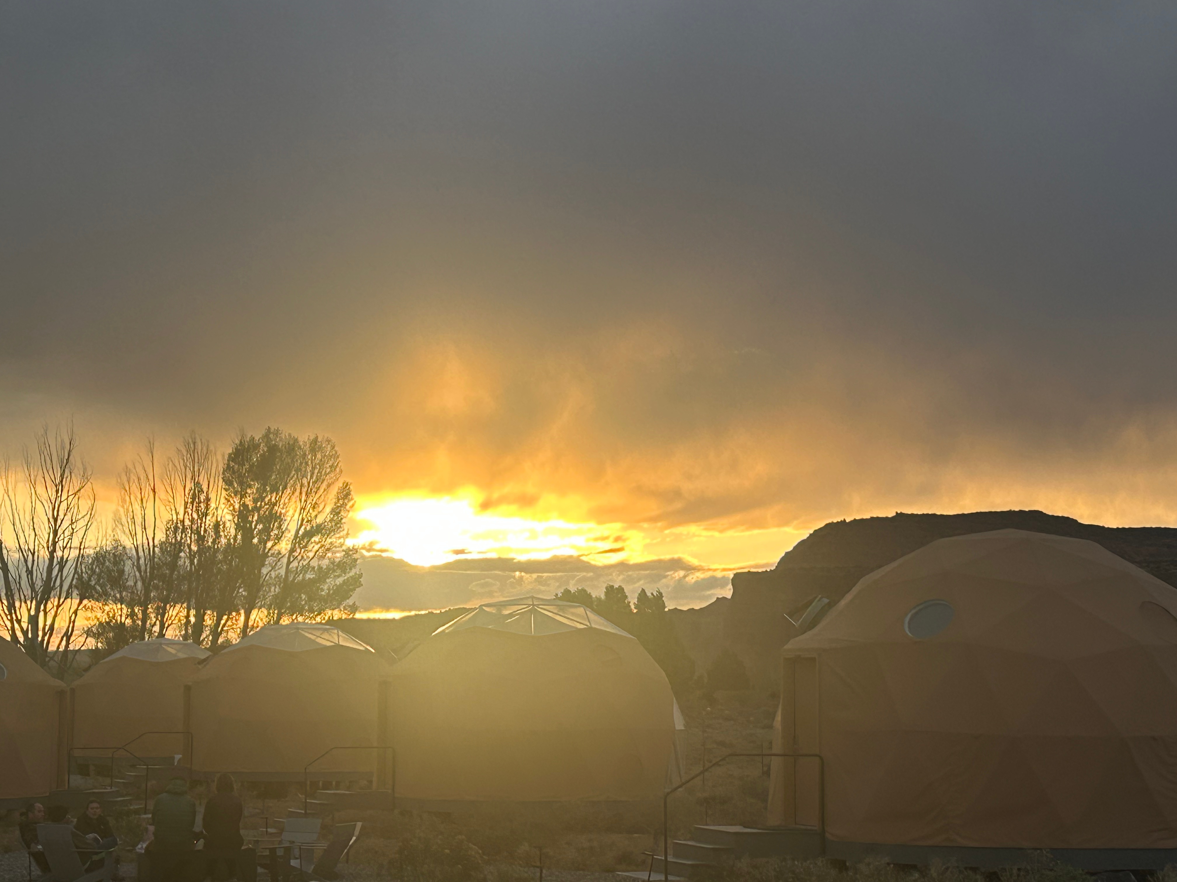
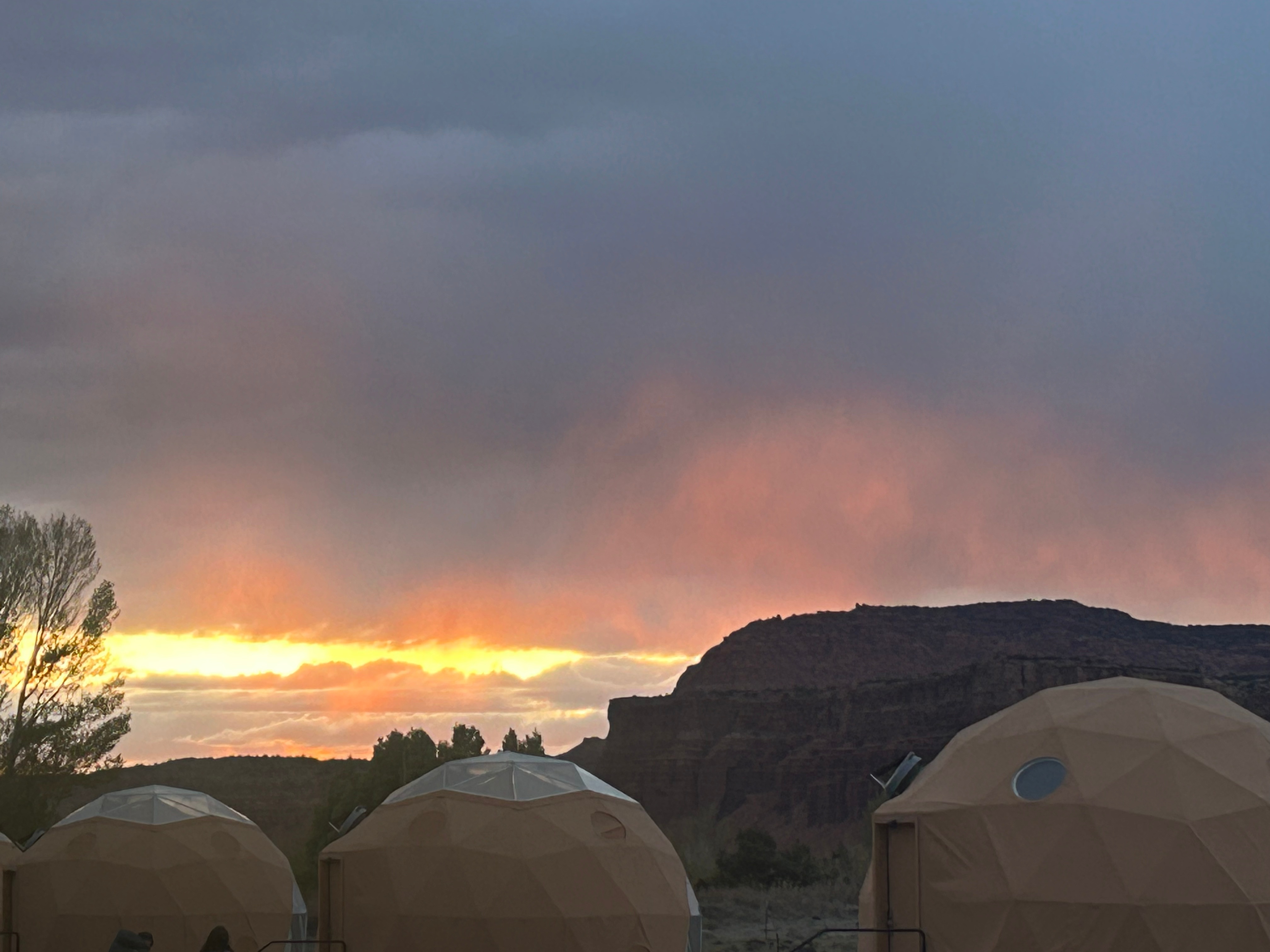
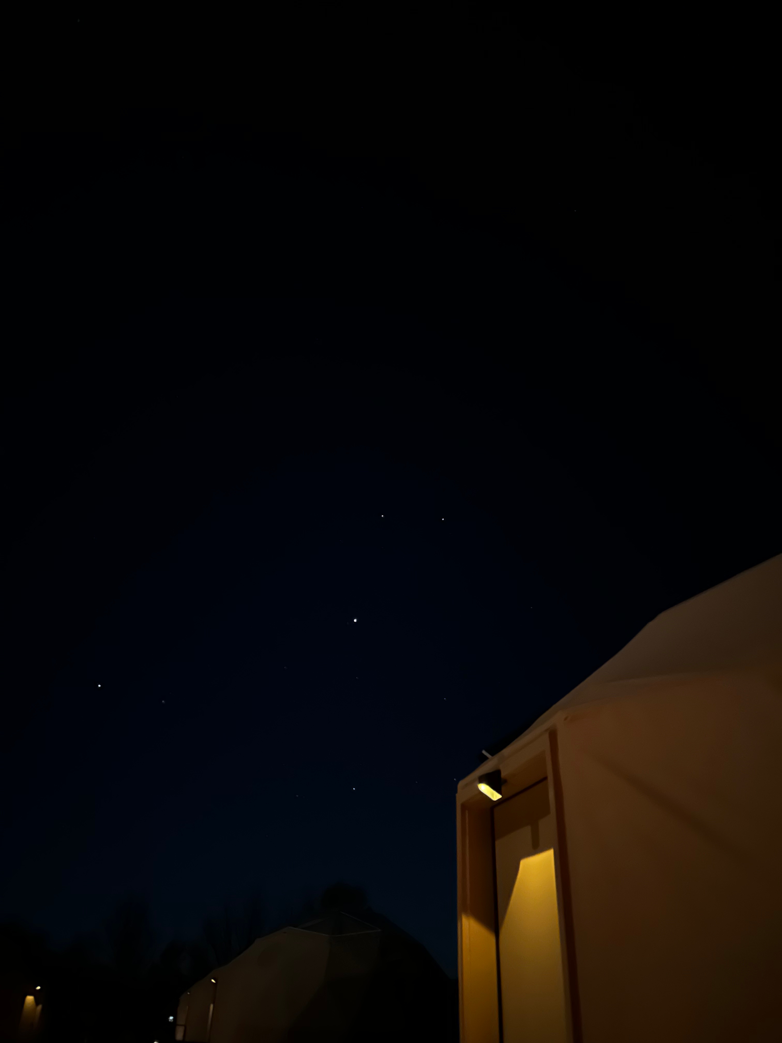
We ended our day at the Skyview Resort, which are glamping domes that are clear on one side so you’re comfortably sleeping under the stars. We’d stayed in something similar on our Grand Canyon trip years back, and it was just the right compromise for us. Thom prefers the comforts of a hotel and I prefer to be immersed in nature. In these domes, you get a comfortable bed and climate control. We had to walk the gravel paths to the bathrooms, so it might have been a little more camping than Thom desires, but it wasn’t a super long walk. After unpacking and setting up, we sat around the communal campfire to have s’mores and visit with all the other travelers. I usually feel like we are a pretty average couple, with typical middle-class jobs living the average suburban life. But I believe our fellow campers thought we were the craziest people they’d ever met. They thought it was crazy that we took a week of to drive to a concert in Vegas (instead of just flying). They couldn’t believe how many miles we’d driven in such a short time and how much we were packing in. However, we all connected–talking about the beauty of our country. We loved sitting by the warm fire and soaking up both nature and comraderie.

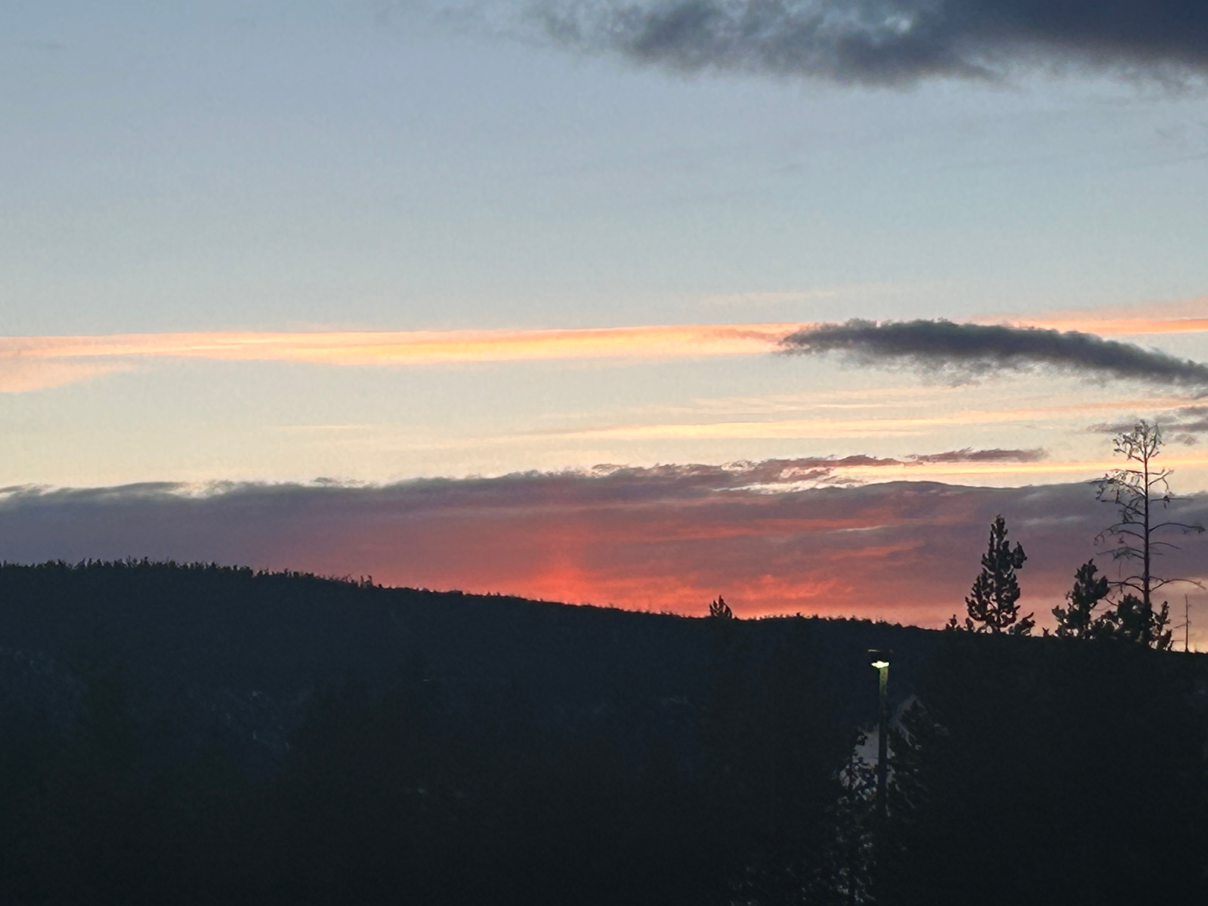
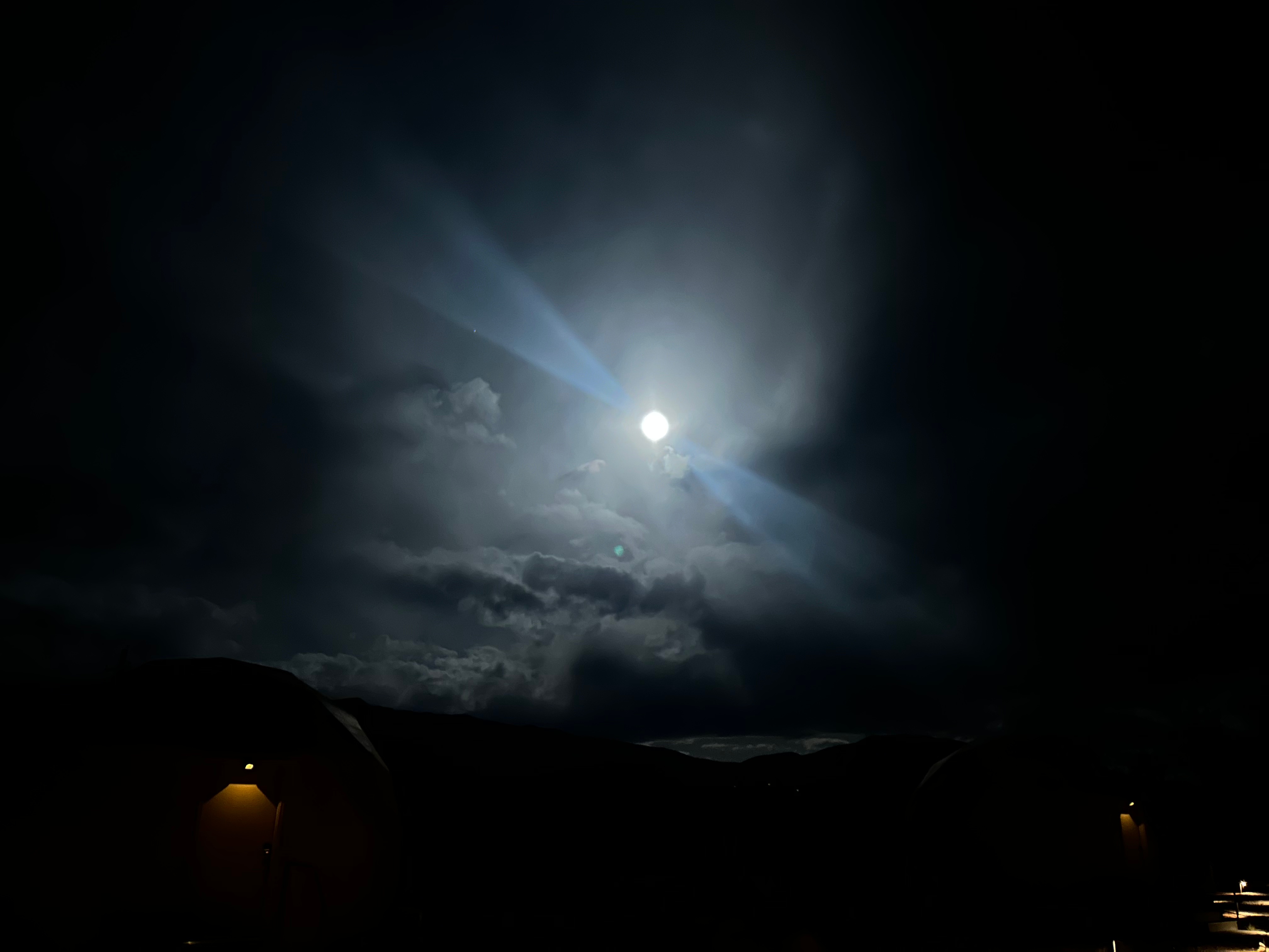
I was so wishing for a clear, starry night out in the desert. However, it was somewhat cloudy and the nearly full moon was up bright in the sky. We were able to see a few stars before tucking in for the night. I got up in the middle of the night to see if the skies had cleared, but it was actually more cloudy. I enjoyed the moon with the clouds nonetheless, until the cold sent me back to bed.

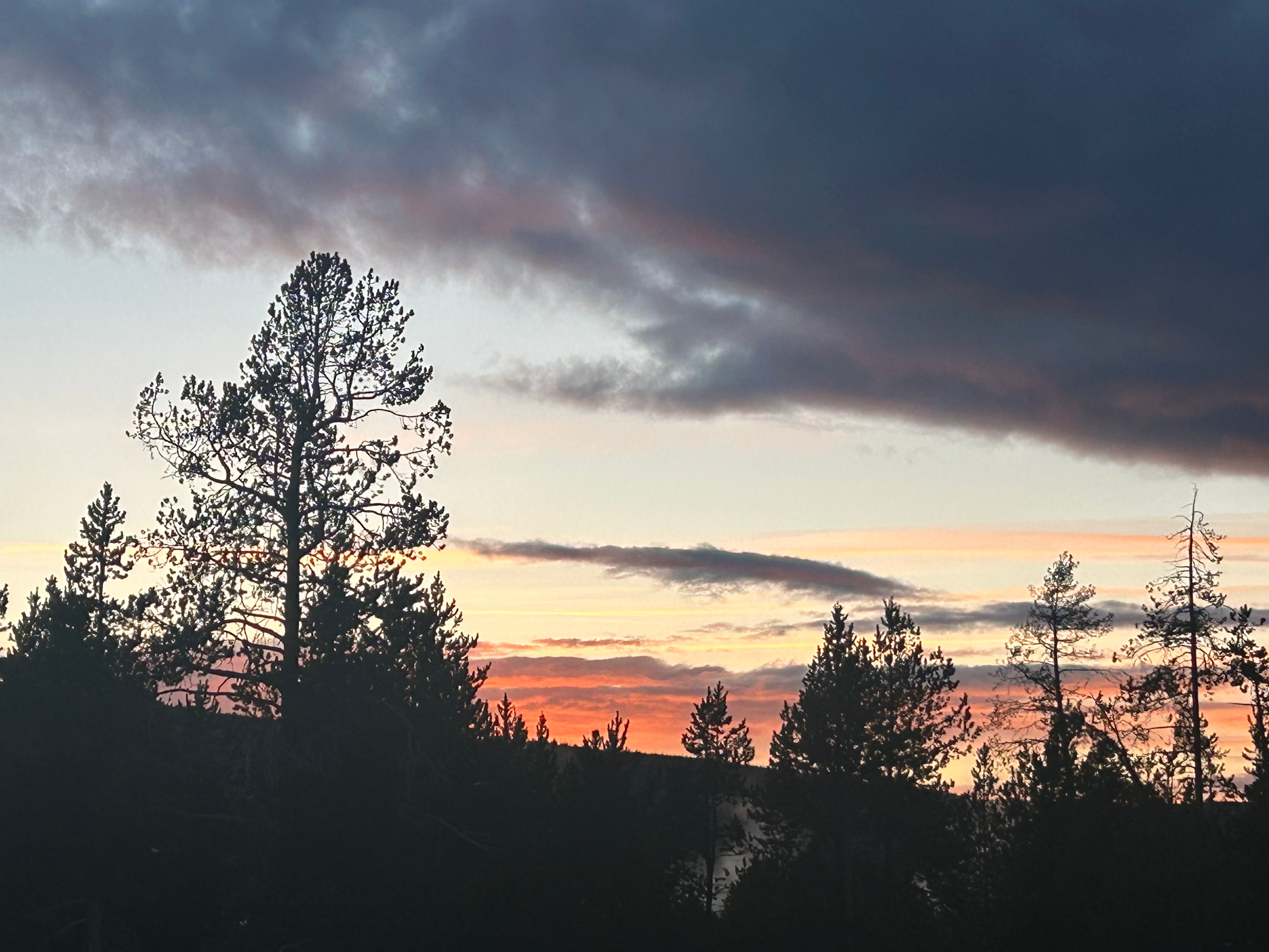
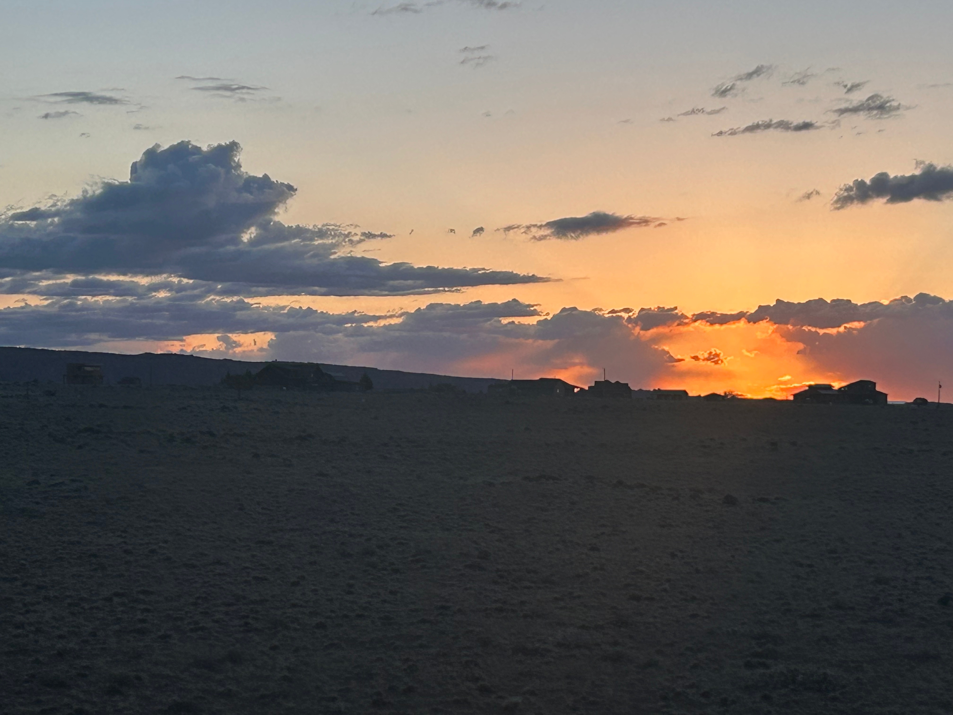
Even though we were the last to bed, I was the first up, as I had to see the desert sunrise. There was a pretty good cloudbank, so it took a little longer to come up. I intended to stay past the initial appearance of the sun and watch as the light streaked across the rock formations. However, the cold got me again. I went back to bed to warm up for a half hour before officially starting the day.

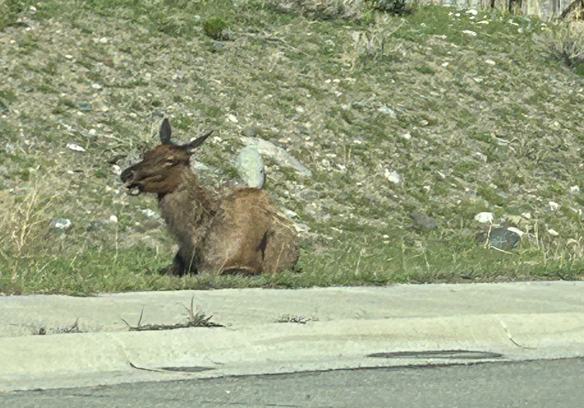
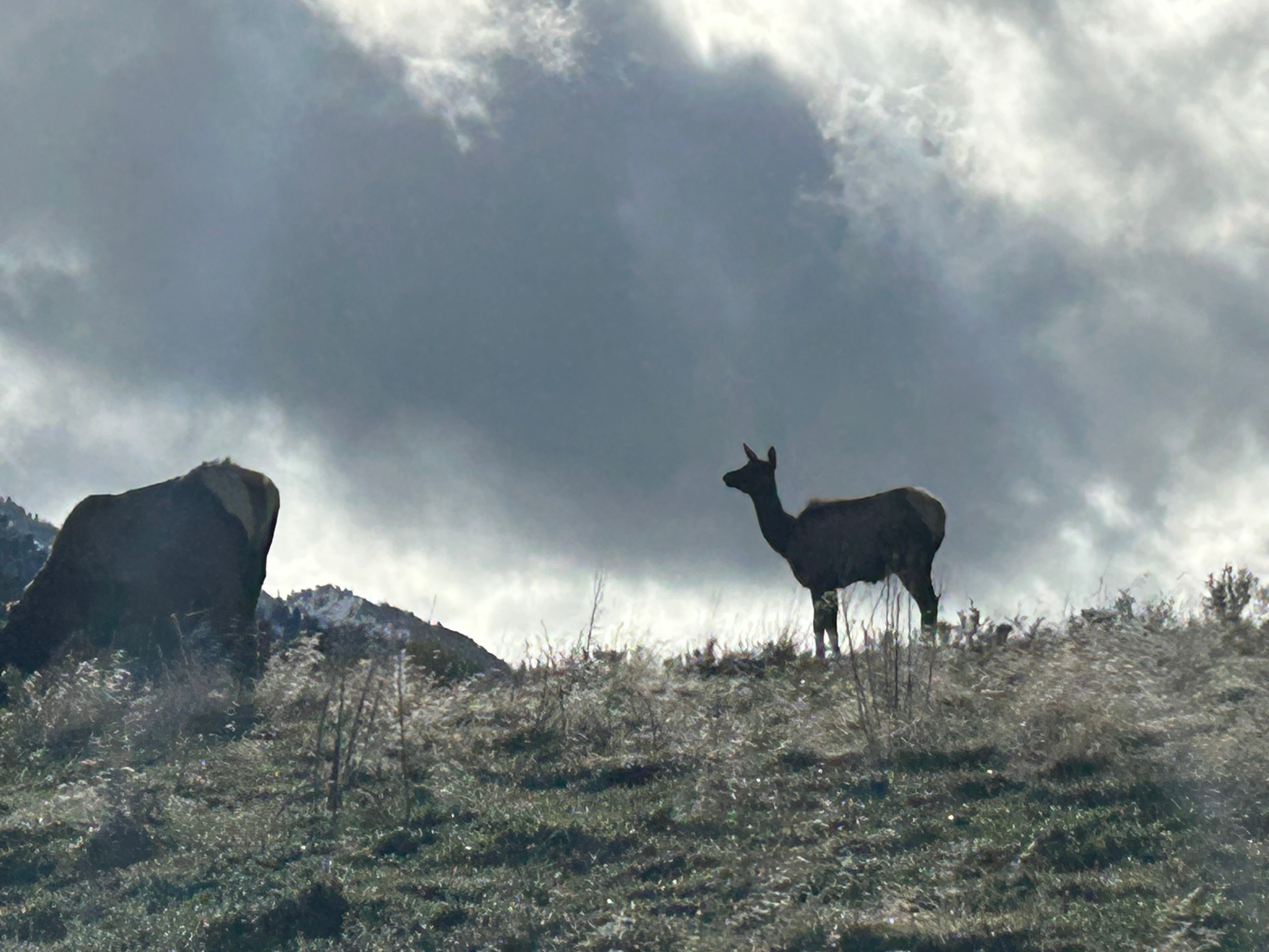
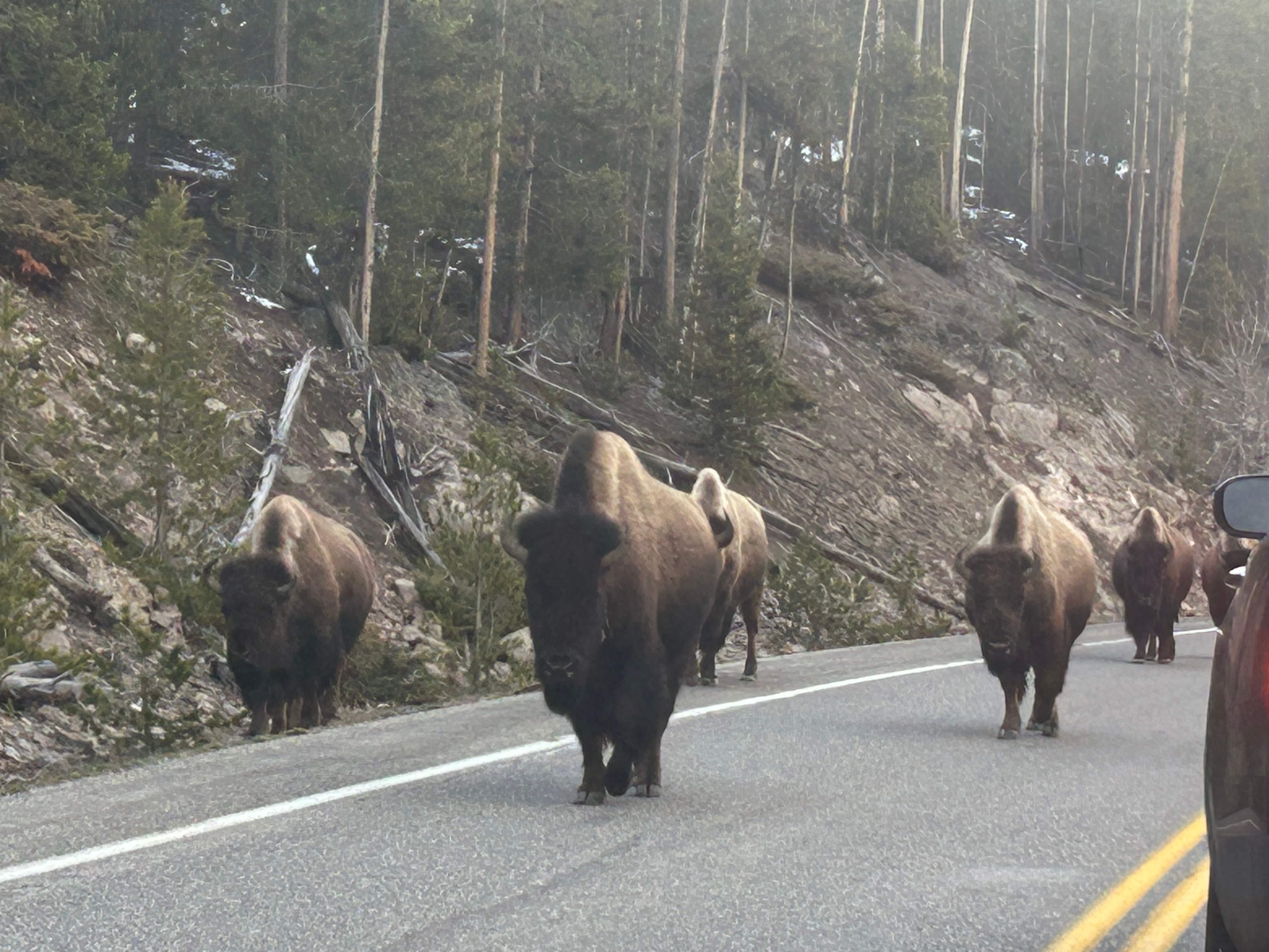
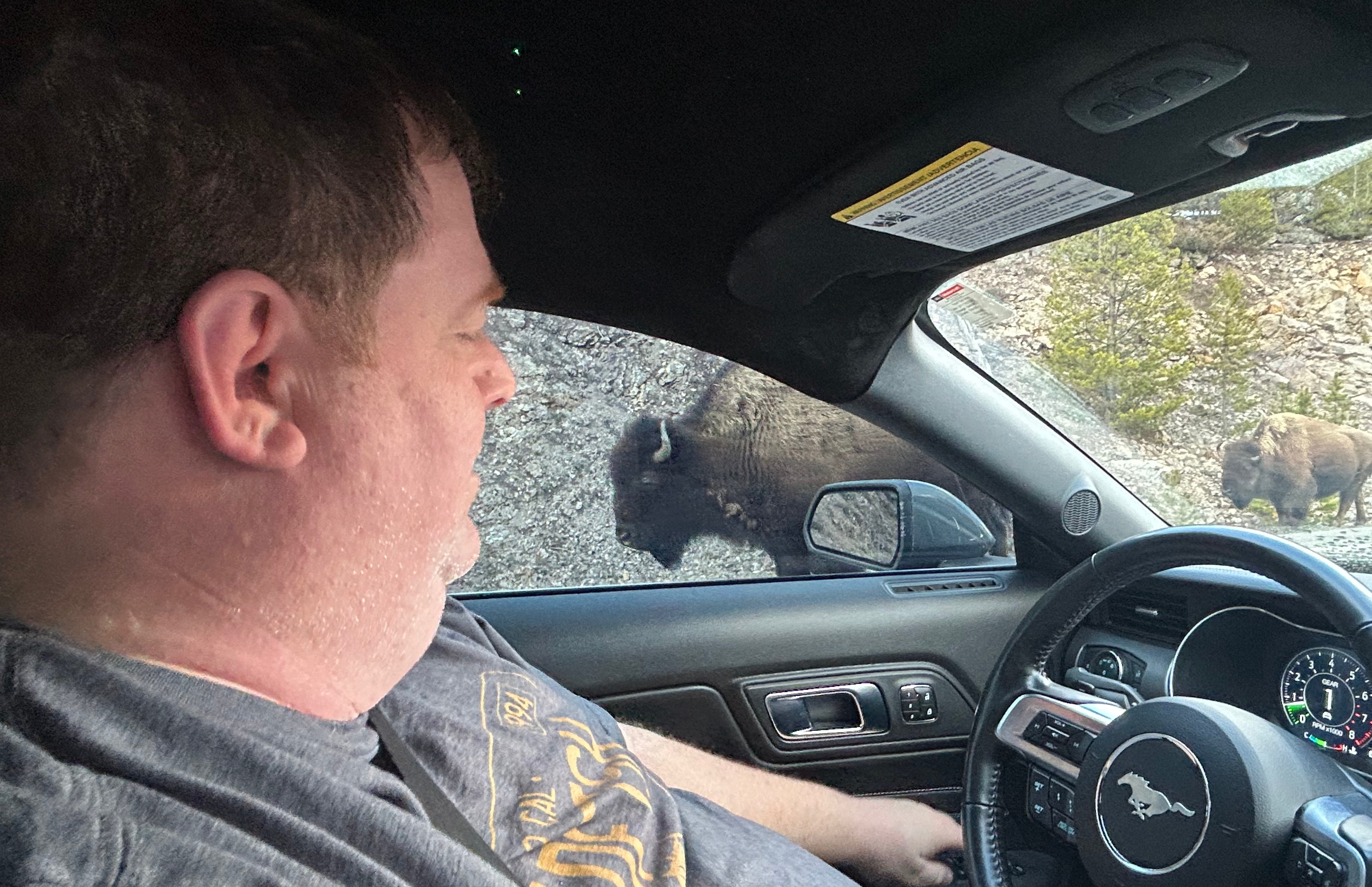
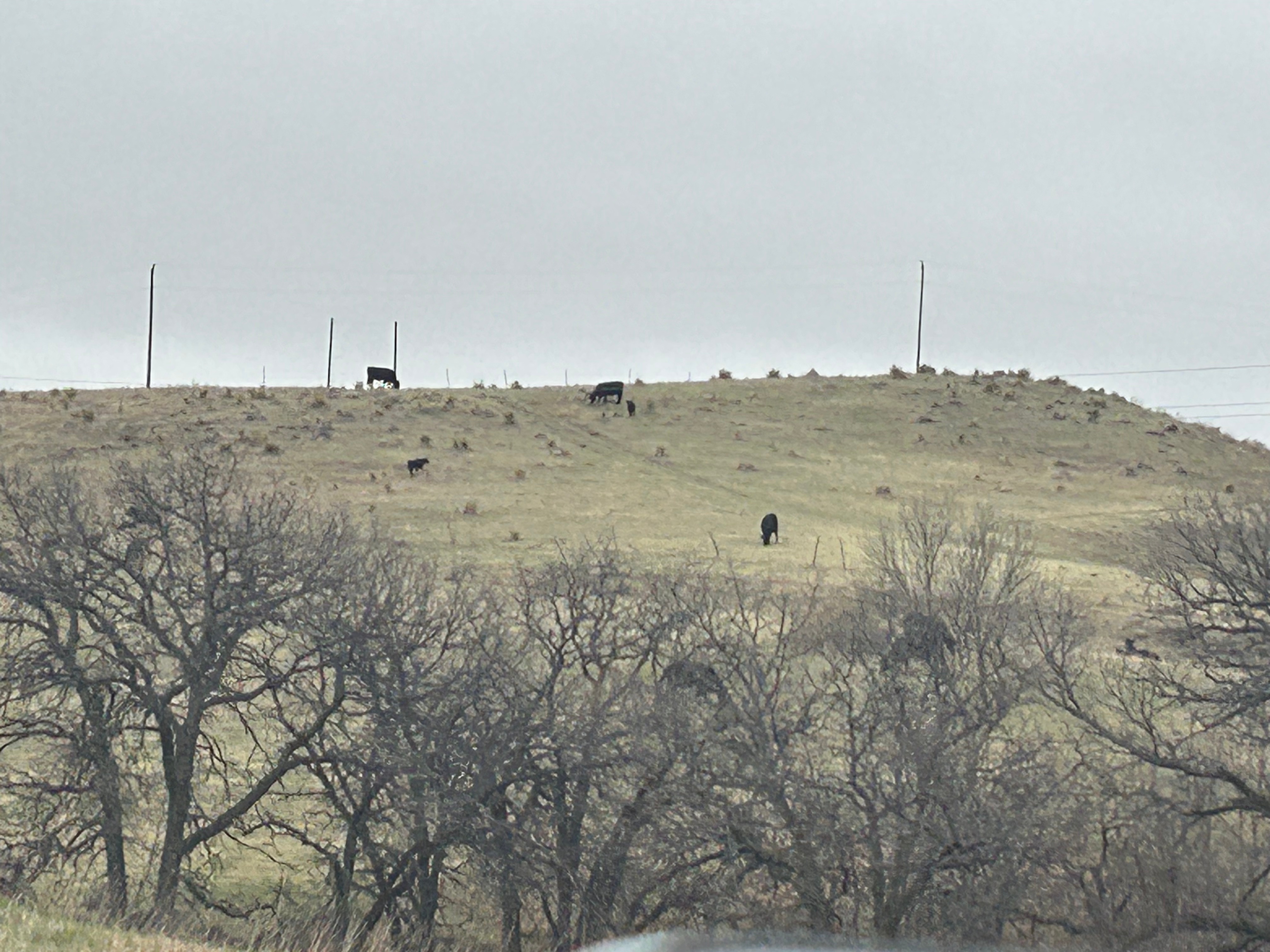
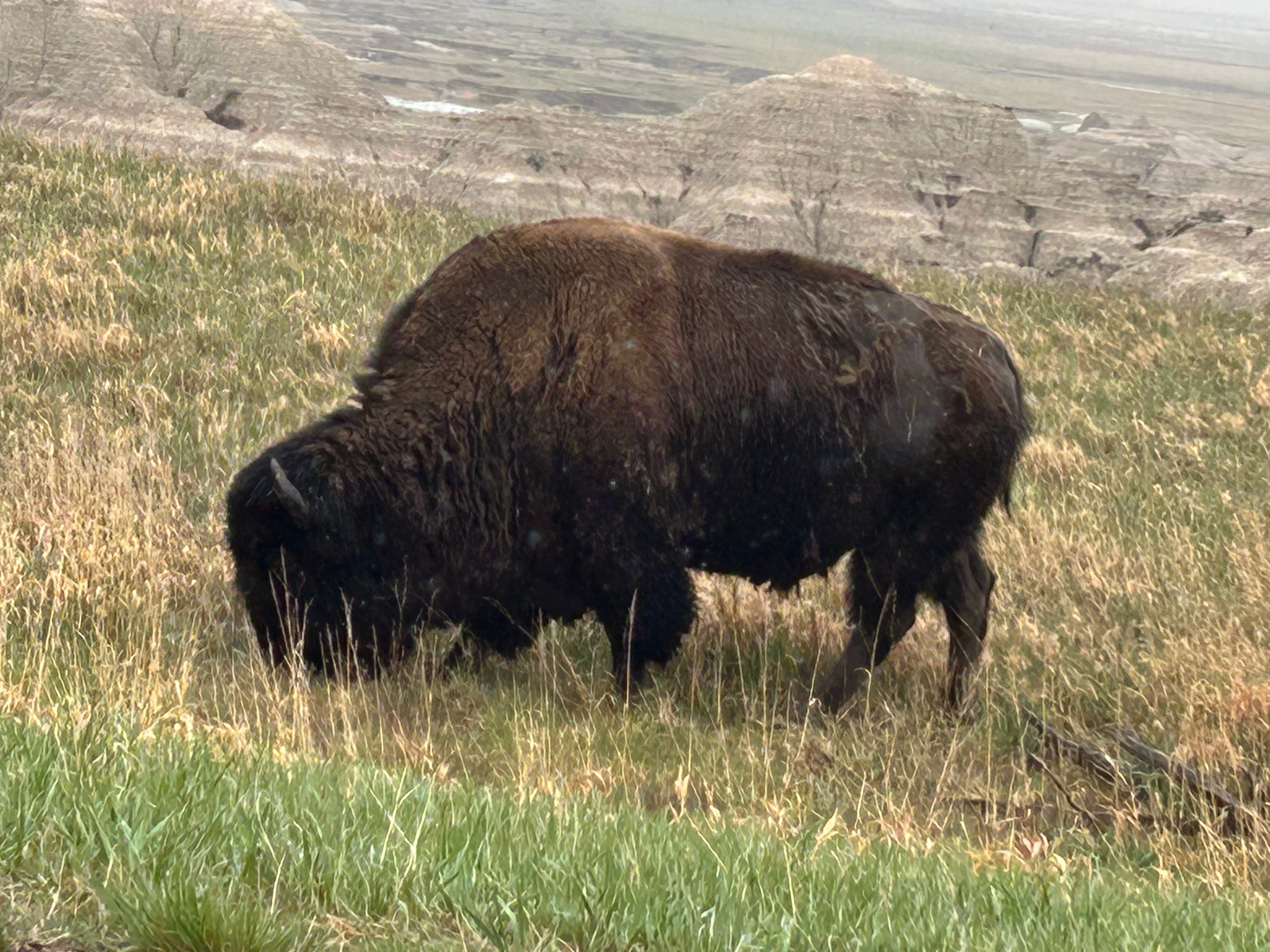
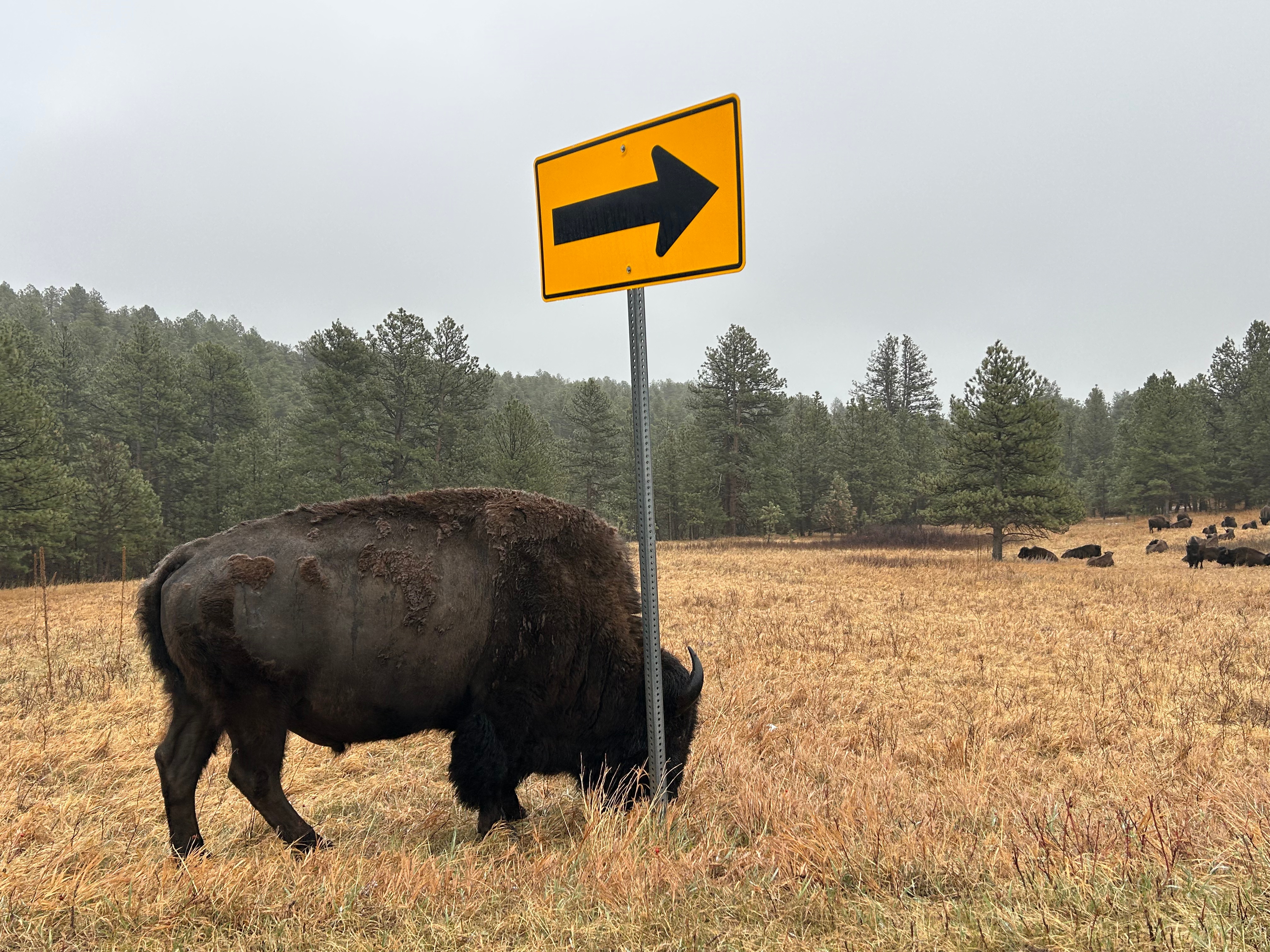
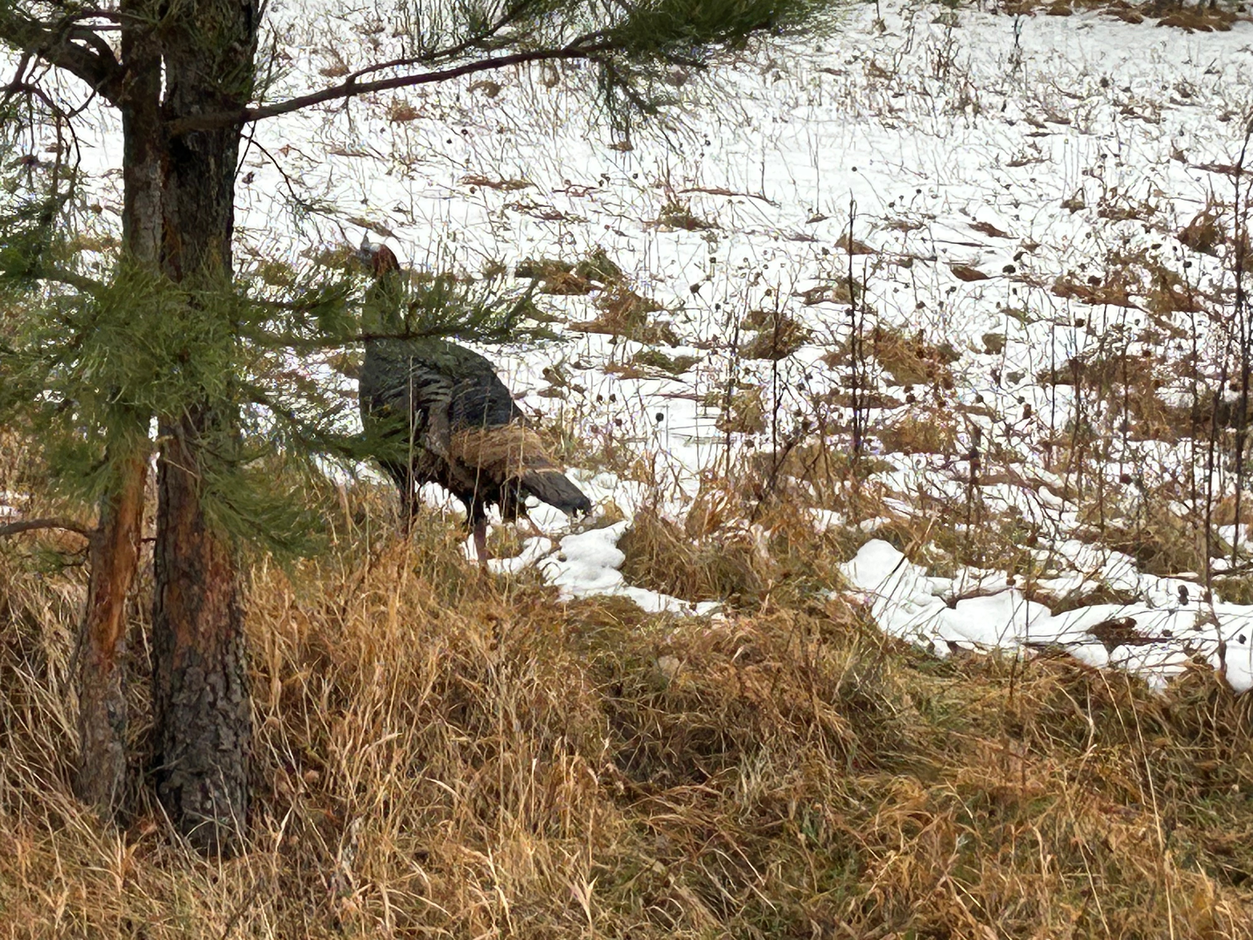
After packing up and having a camping breakfast (granola and dried fruits…plus coffee), we hit the road for another busy day. We were only traveling 400 miles, but had three big stops before getting to Vegas. We were set for a trifecta of Utah National Parks: Capitol Reef, Bryce Canyon, and Zion. On the way to our first stop, we continued our games of “Rock or Bison” or “Shrub or Cow”–it’s funny how far you can see across some of these valleys, and it can take a minute to figure out if the tiny blips on the landscape are animals or not.

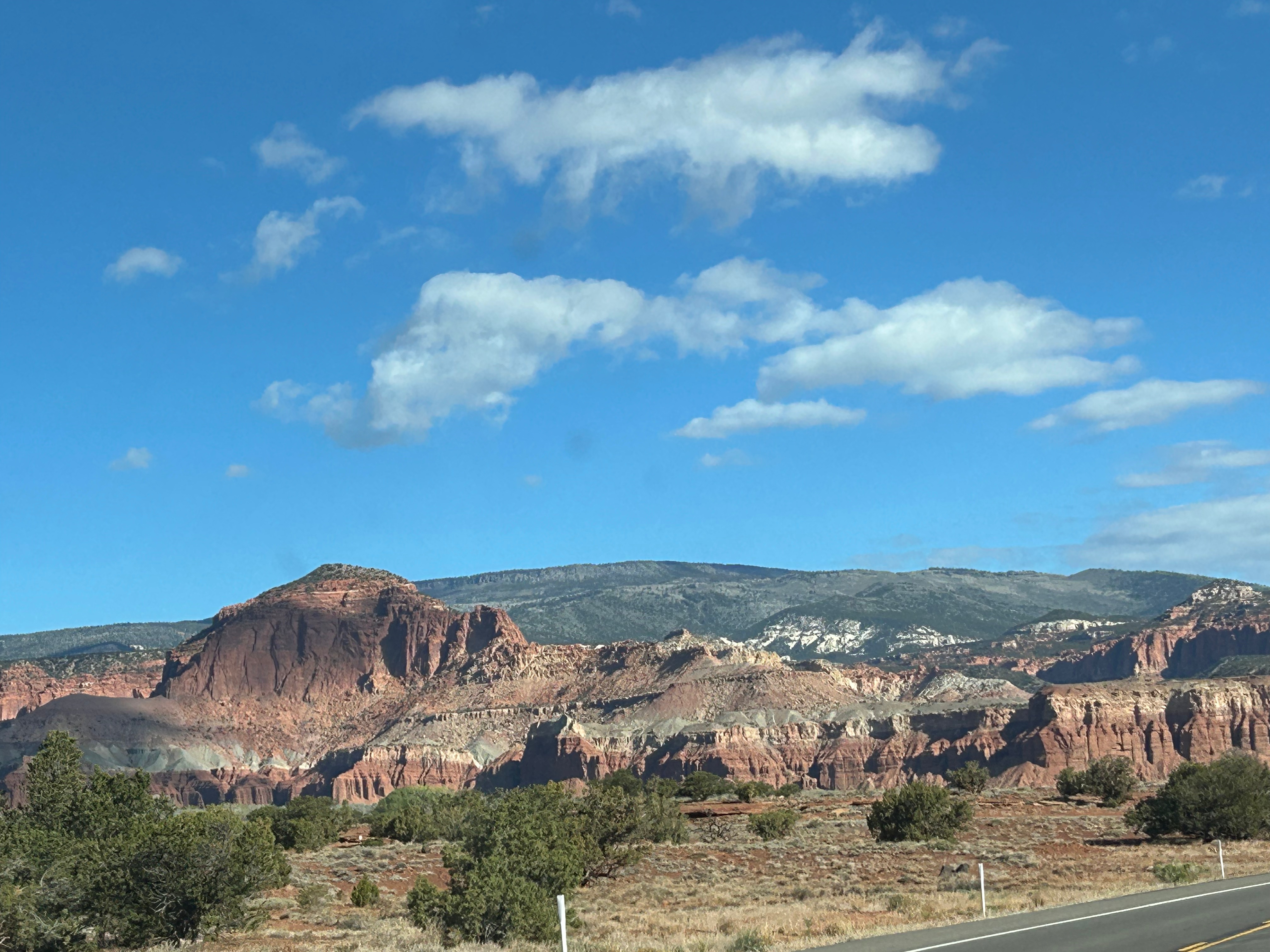
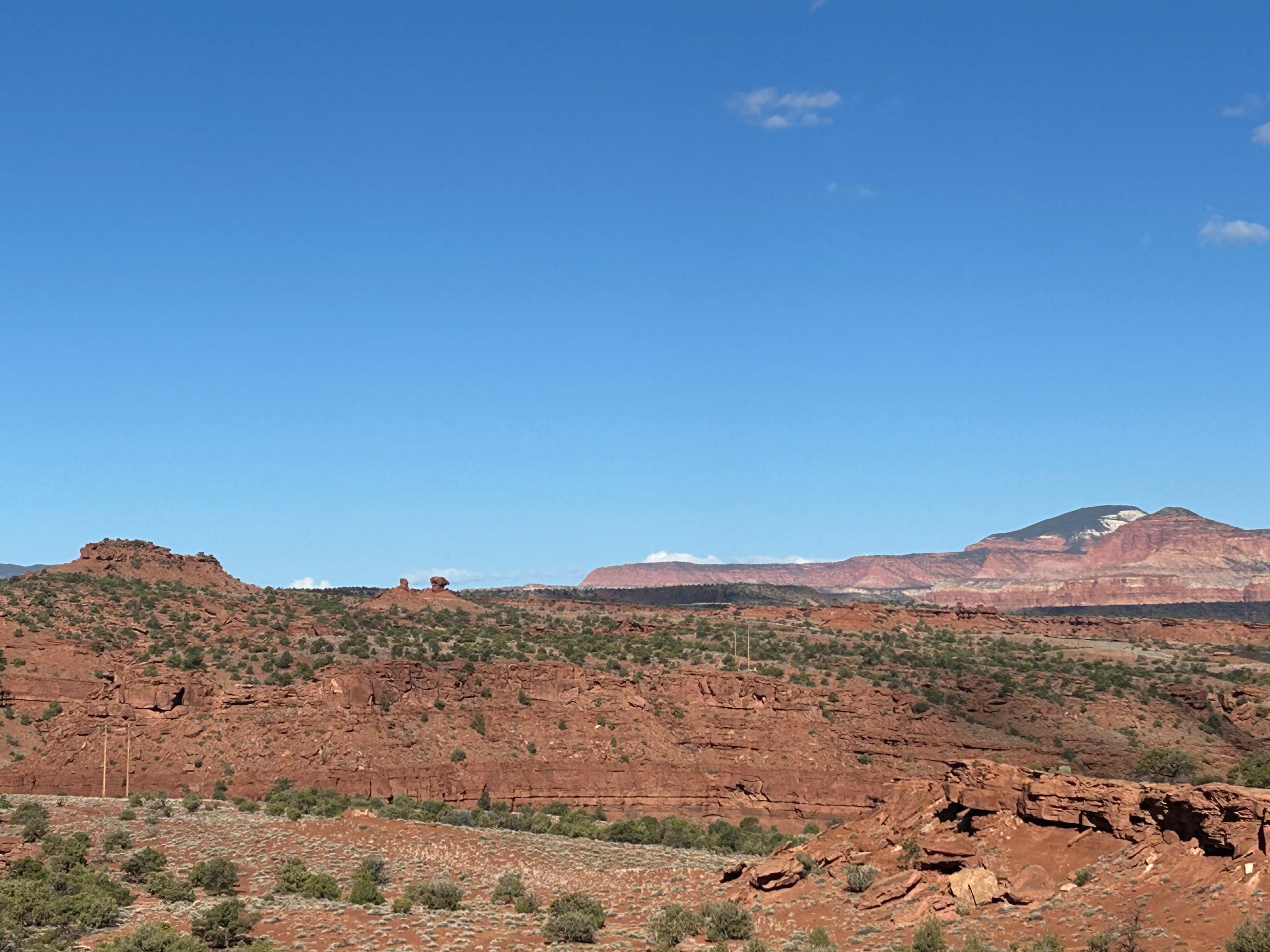
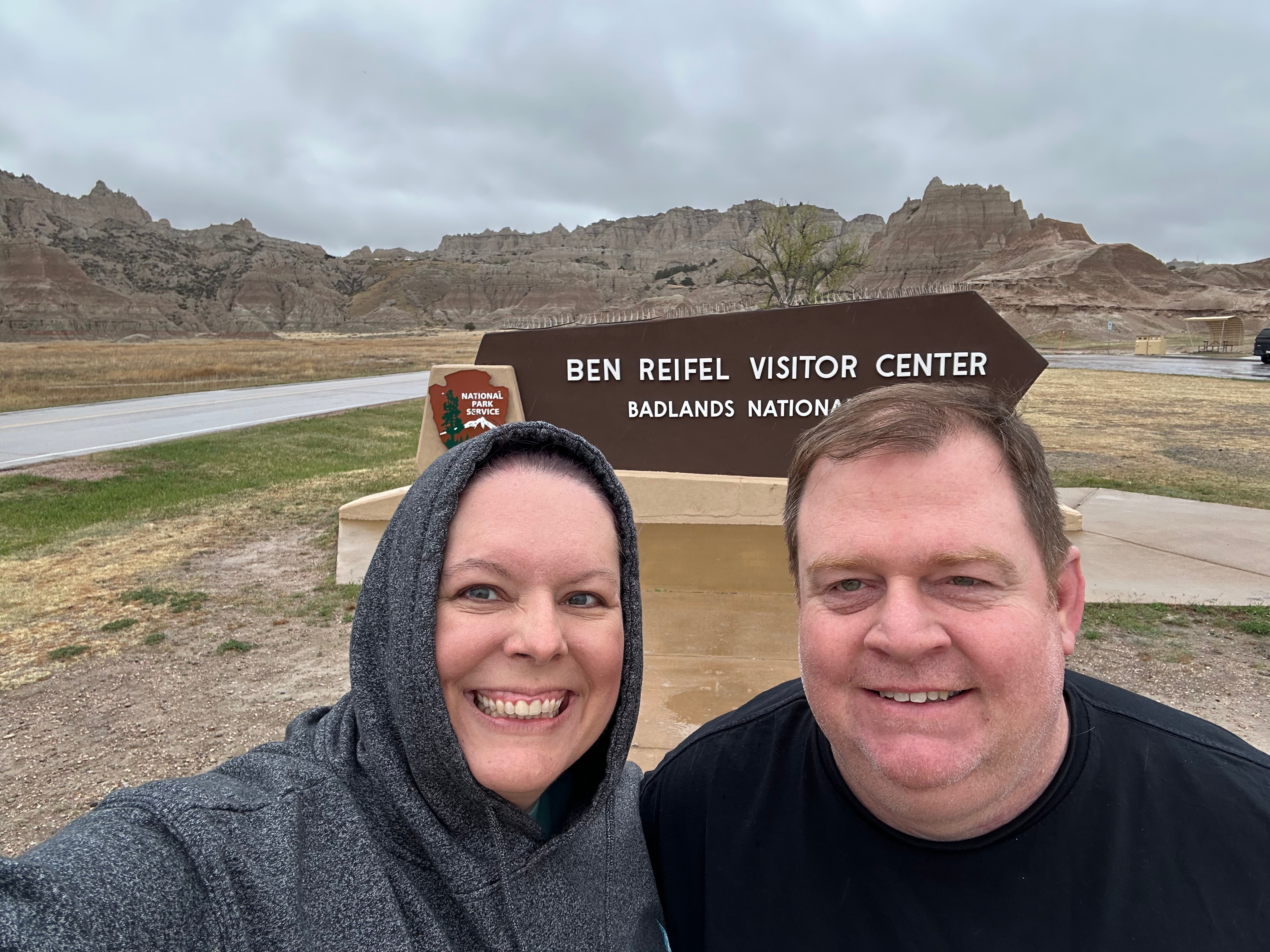
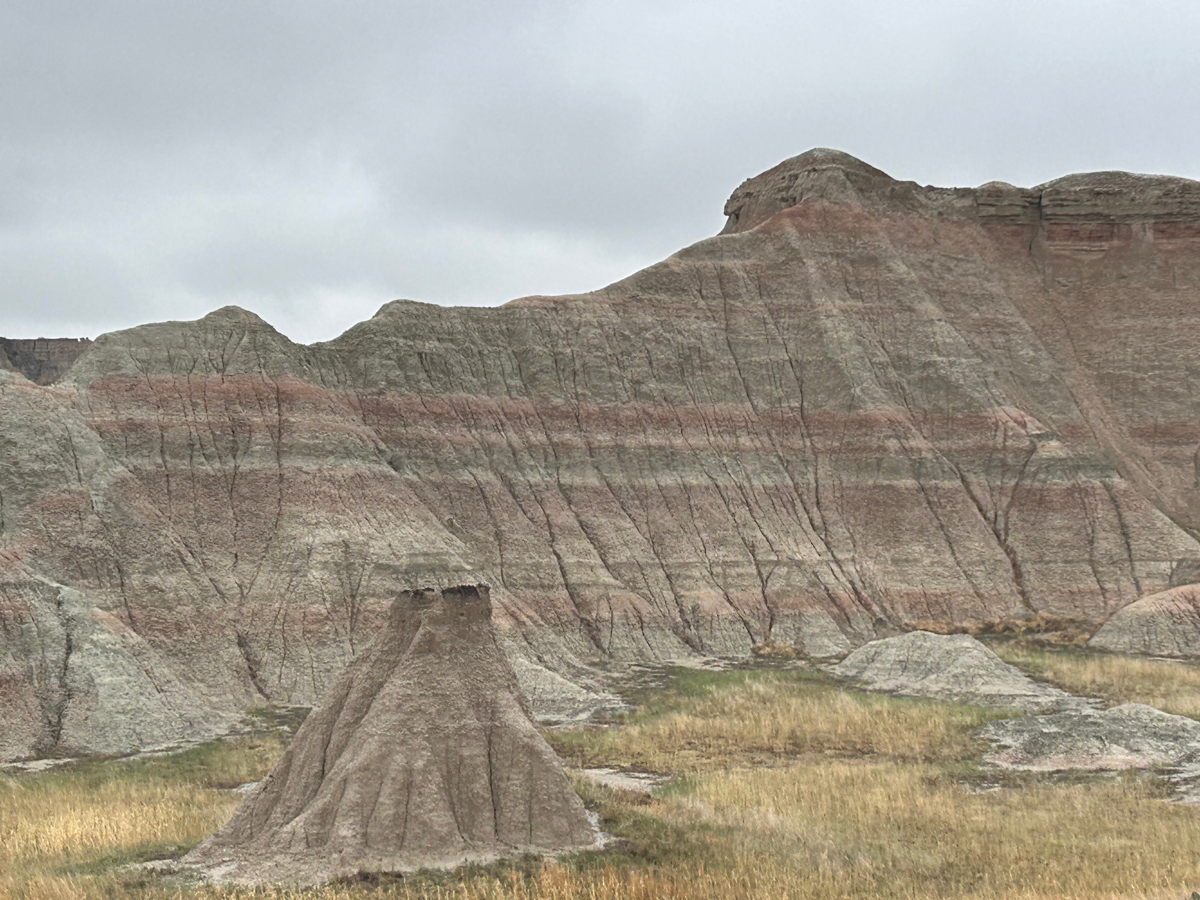
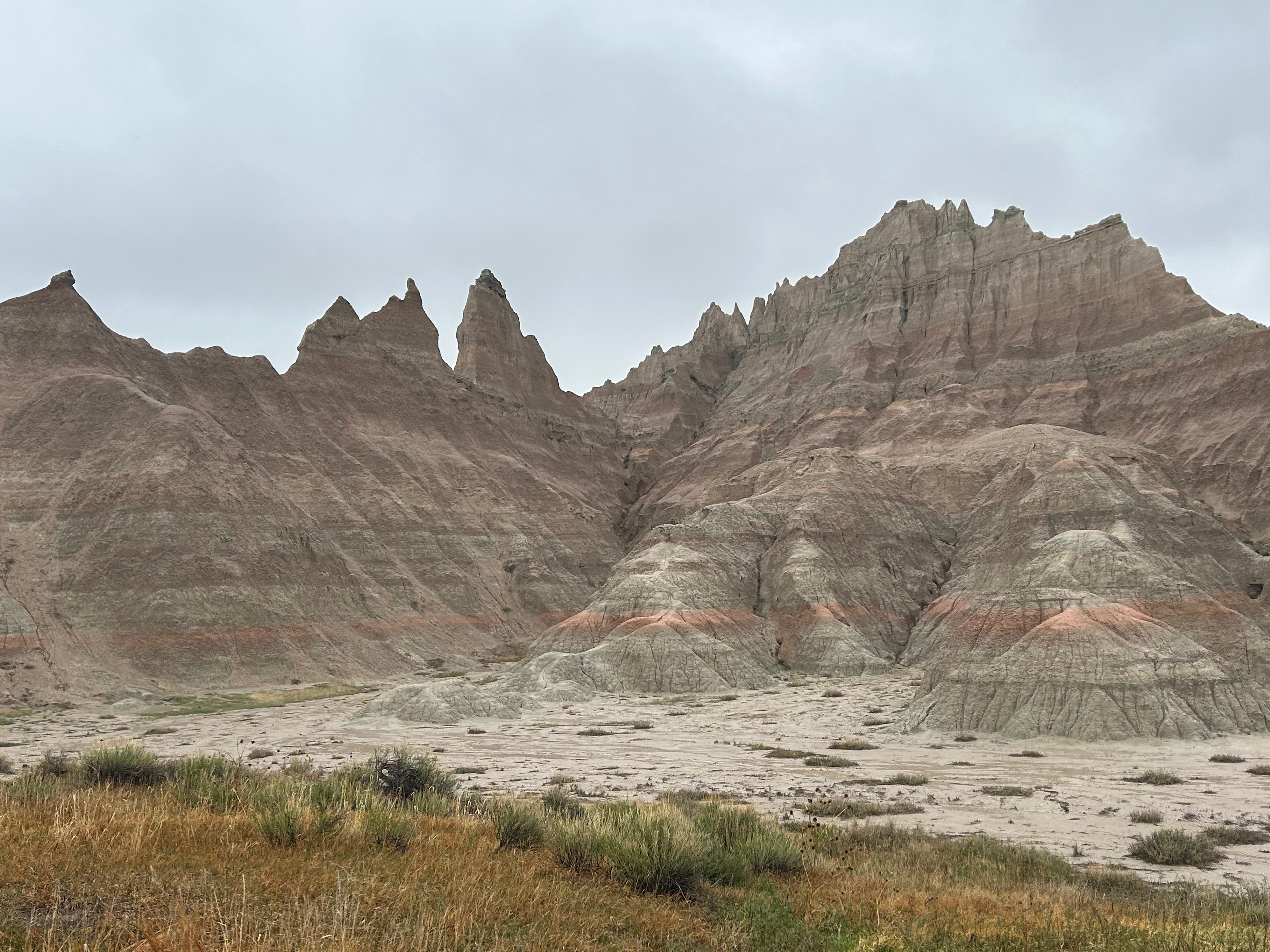
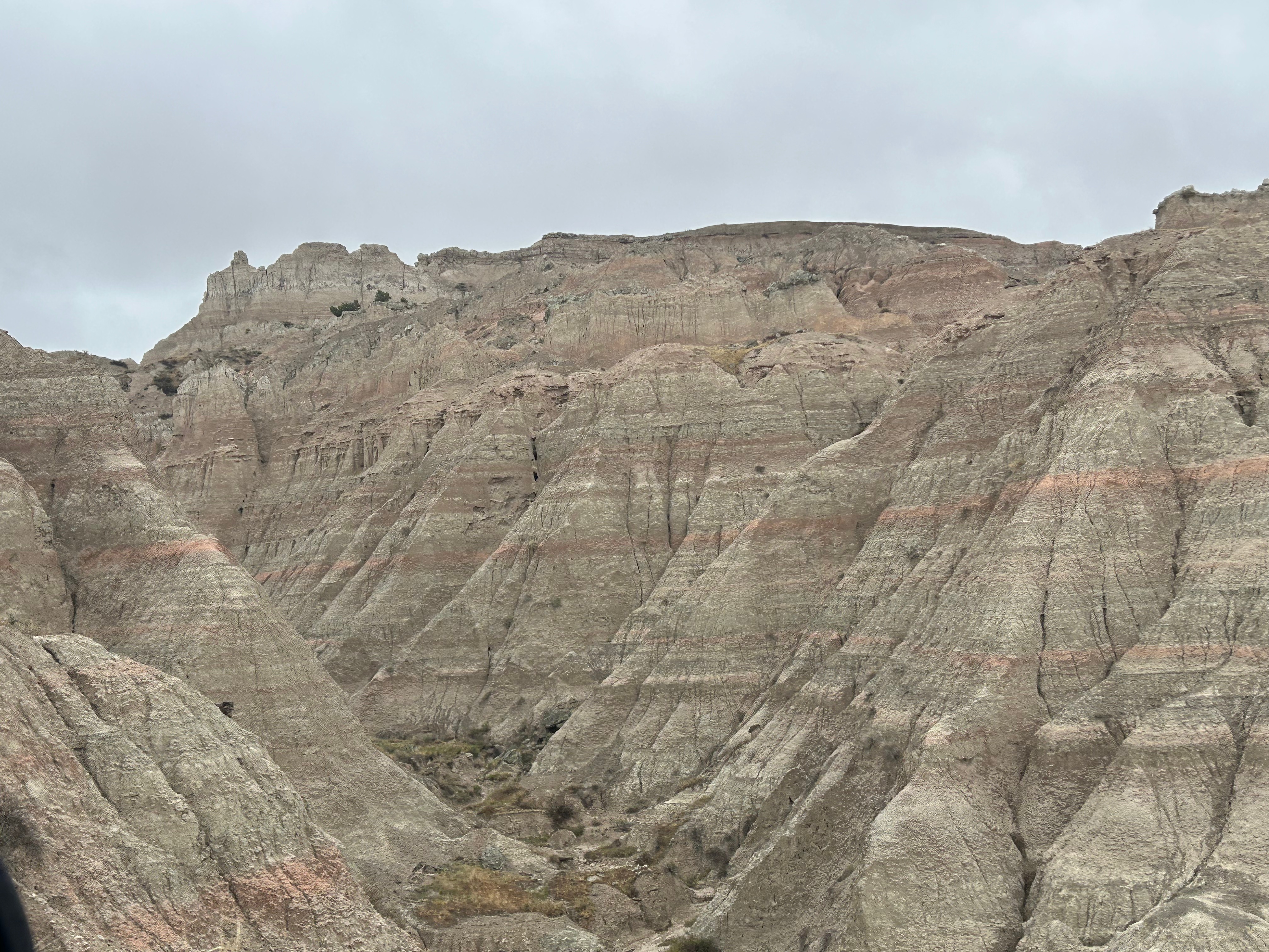
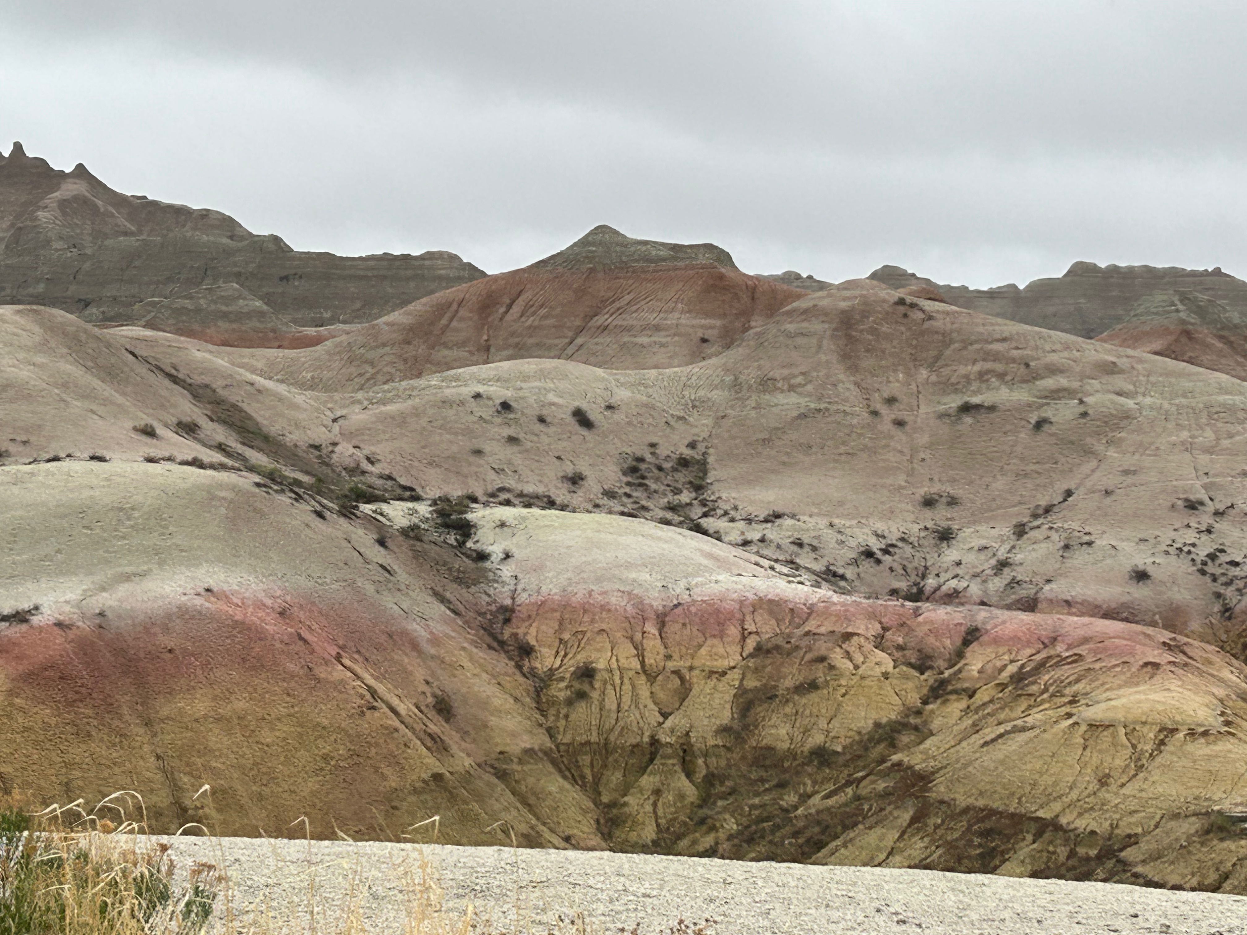
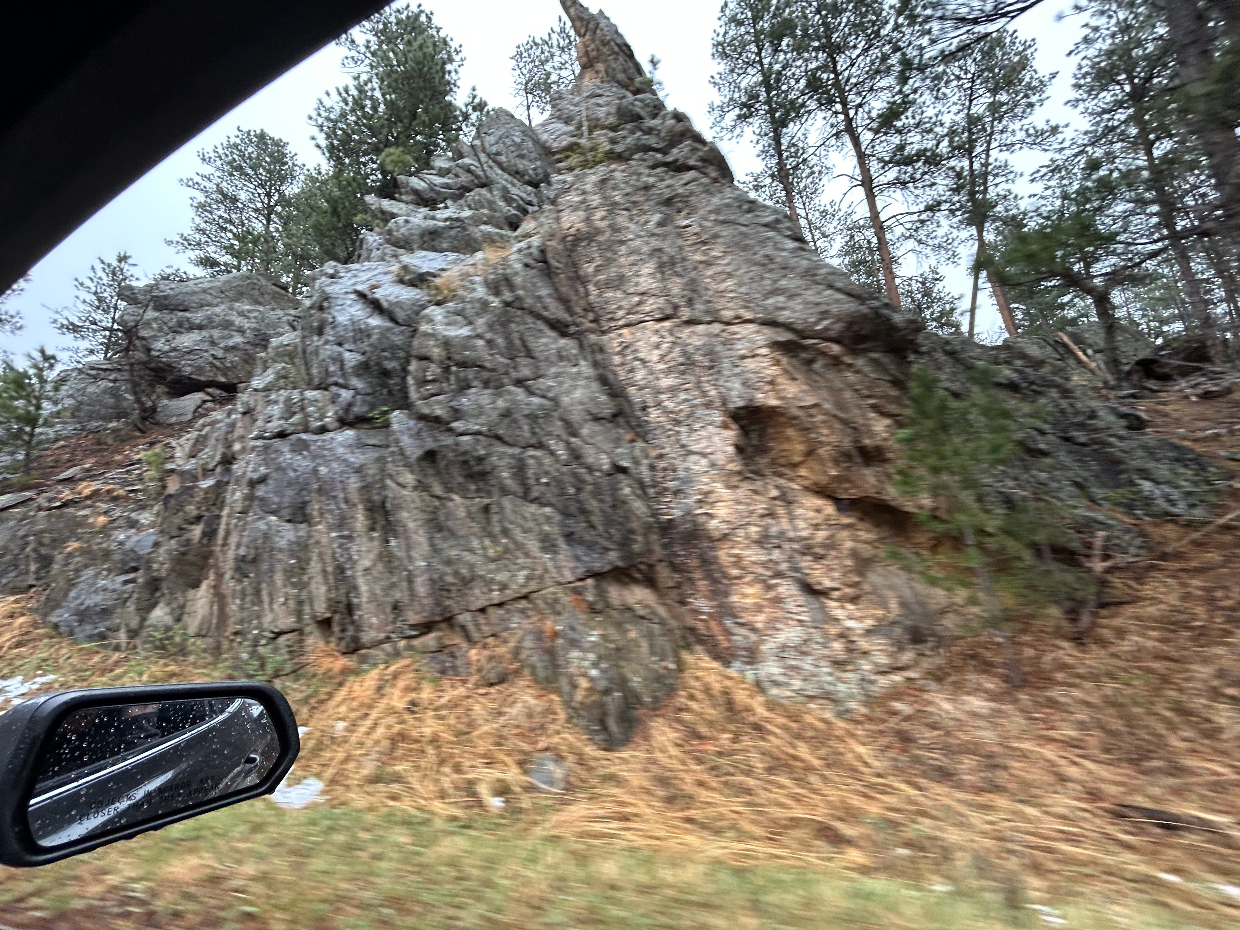
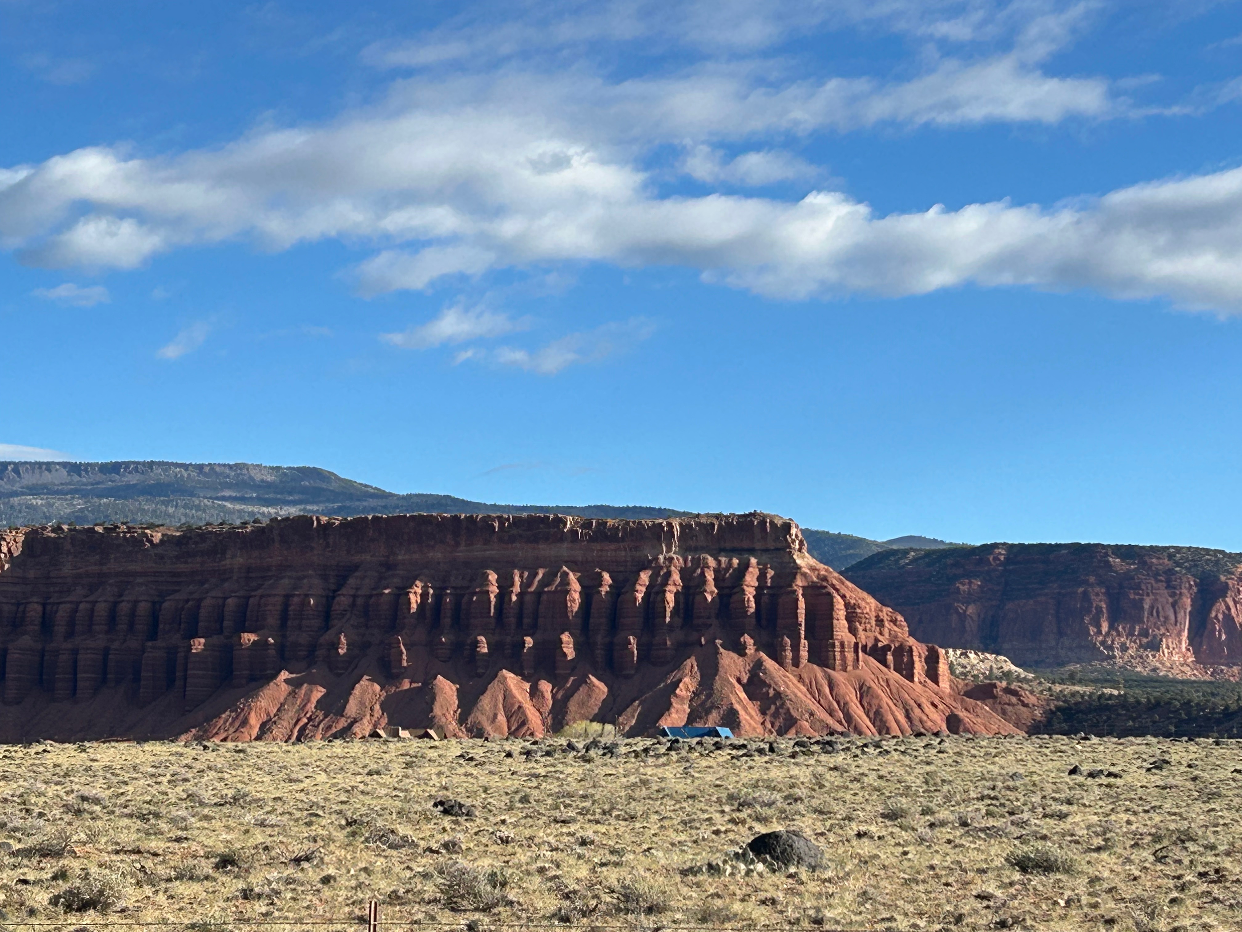
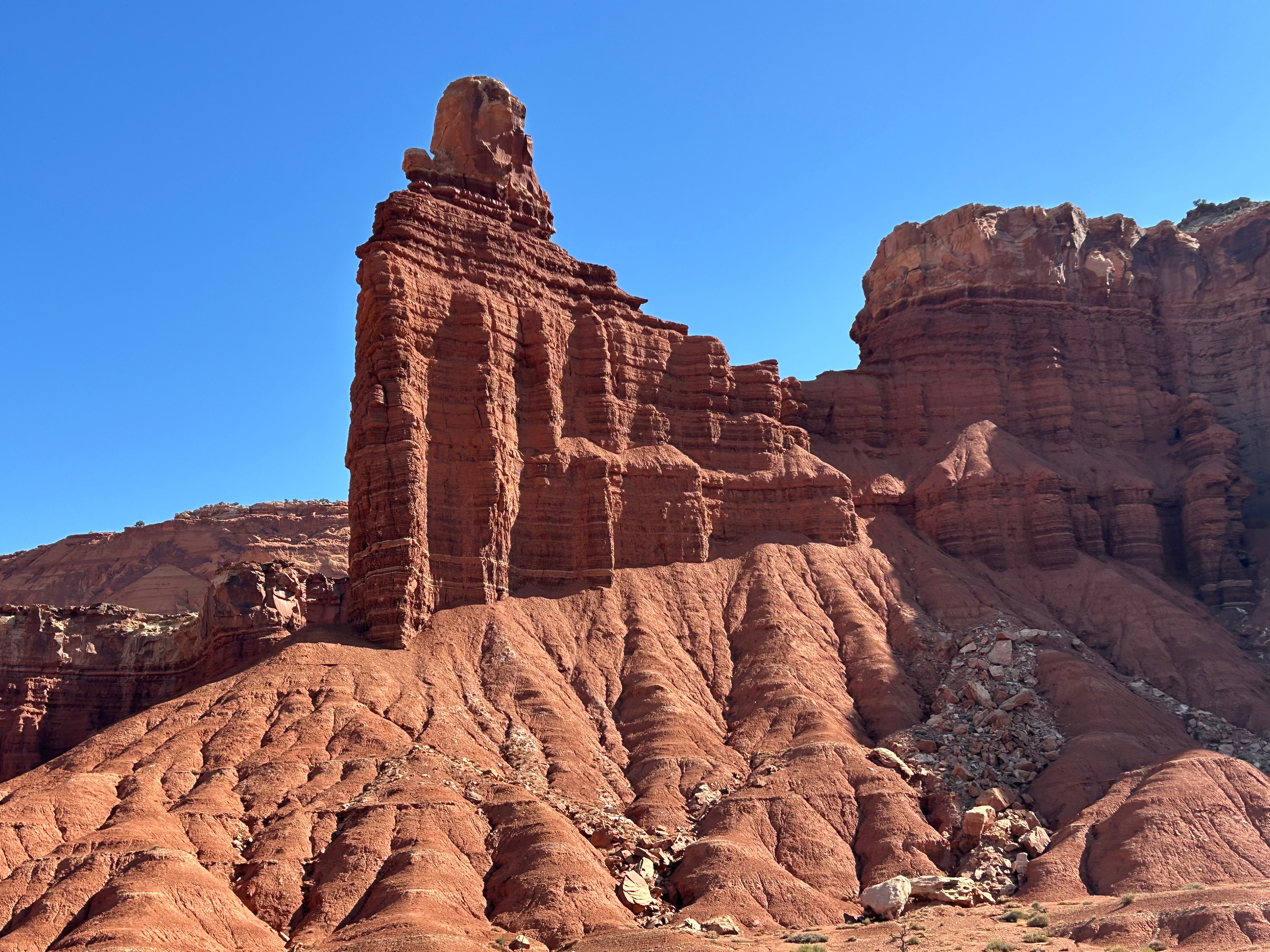
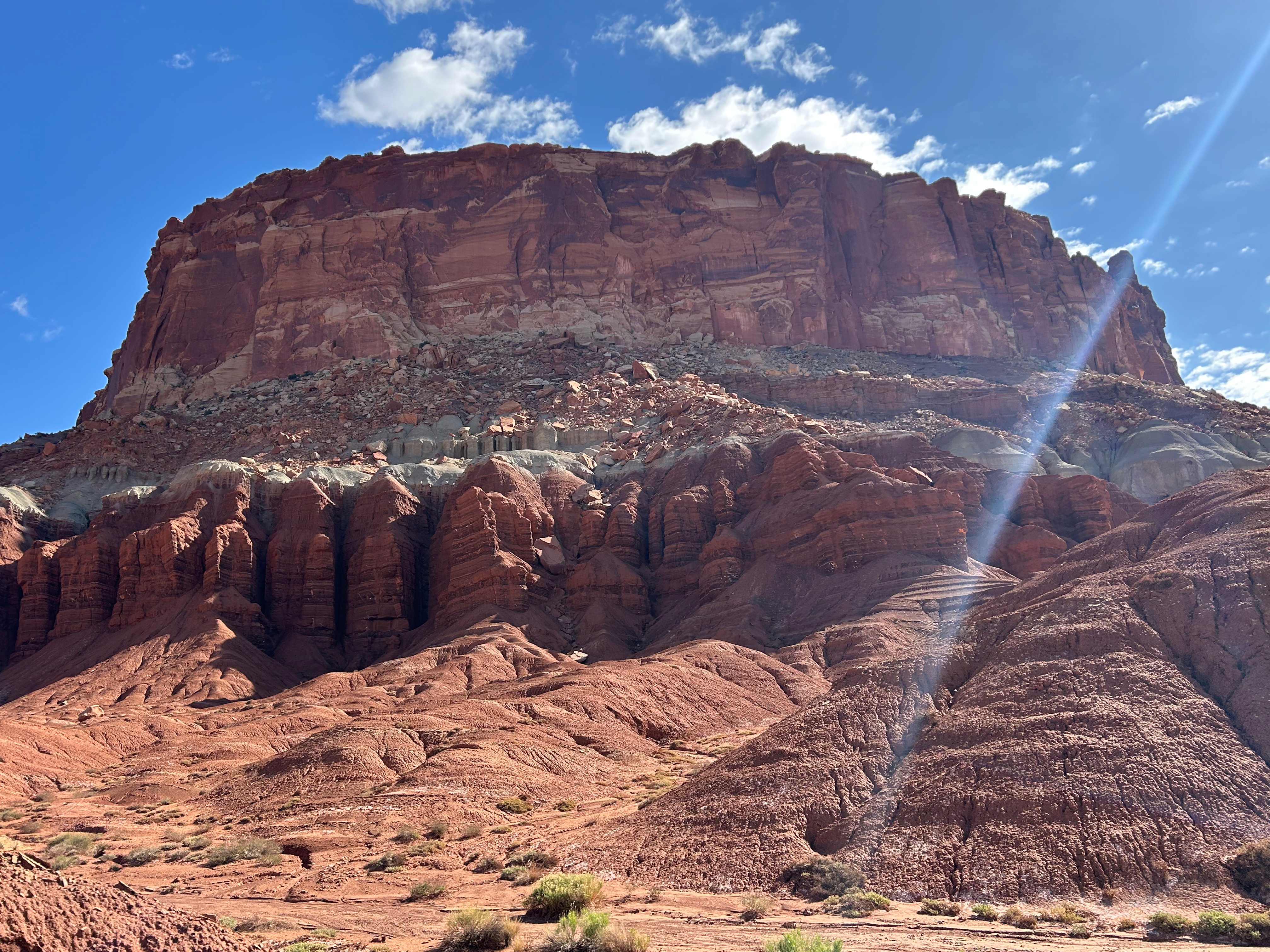
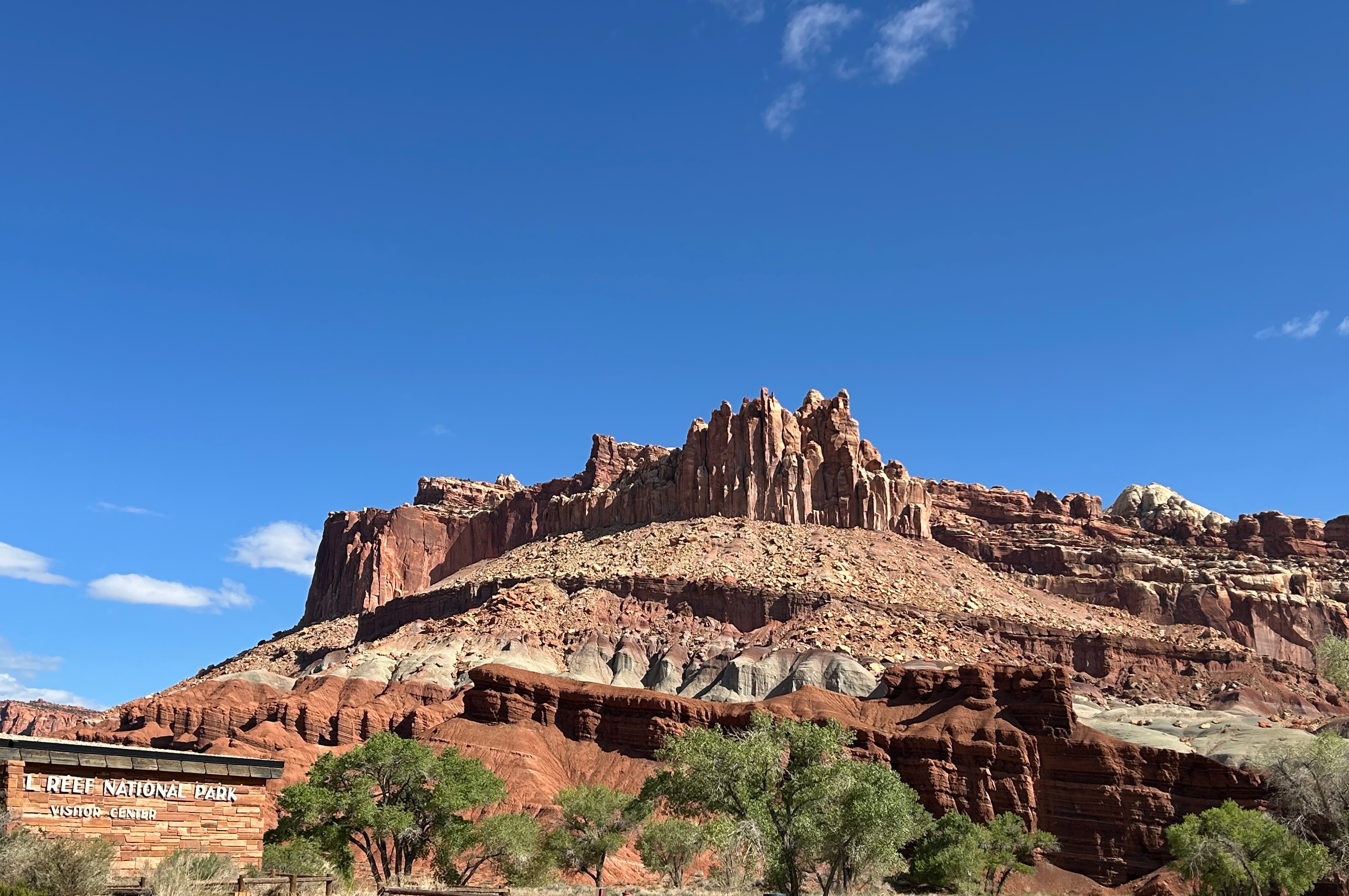
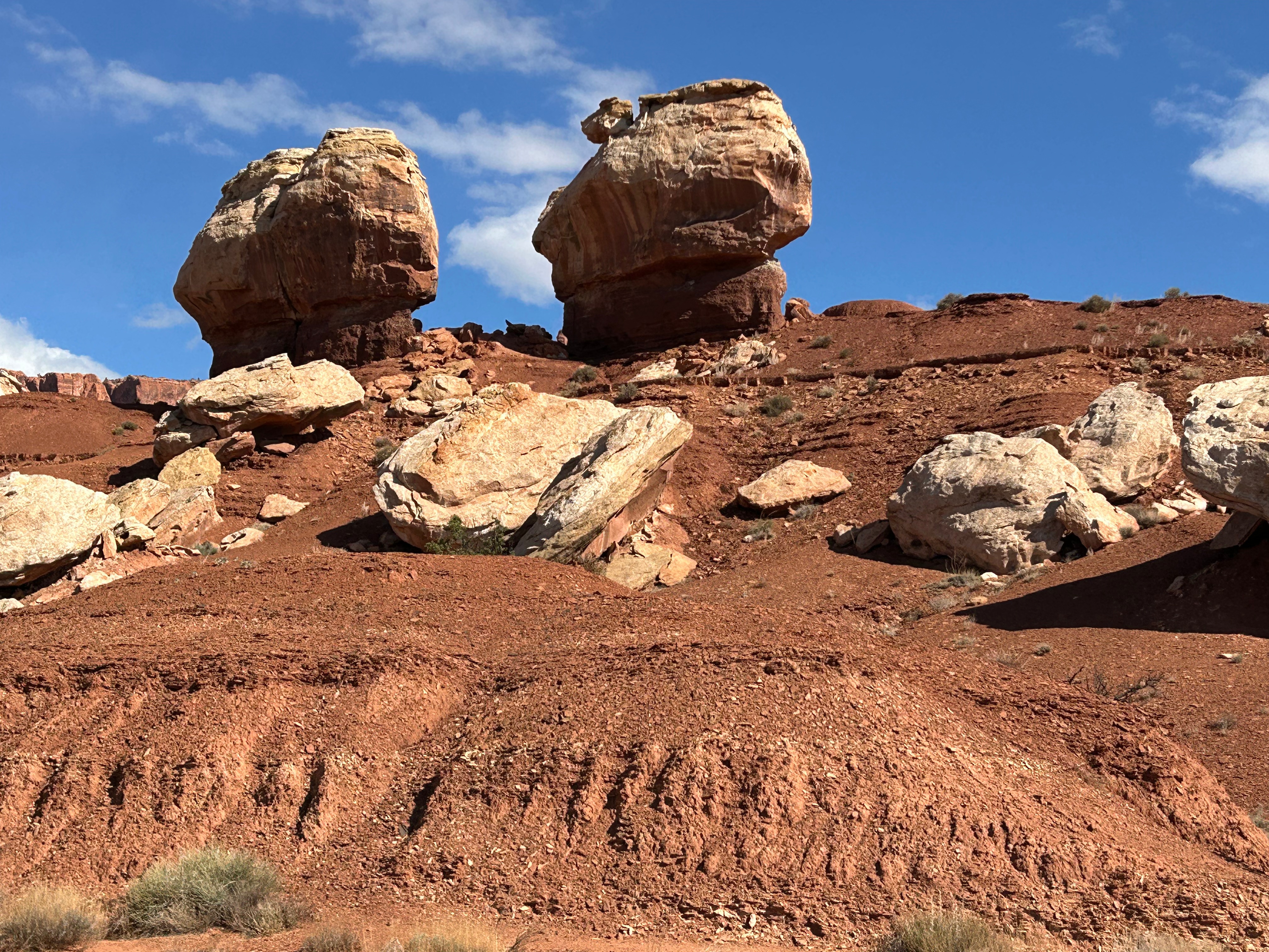
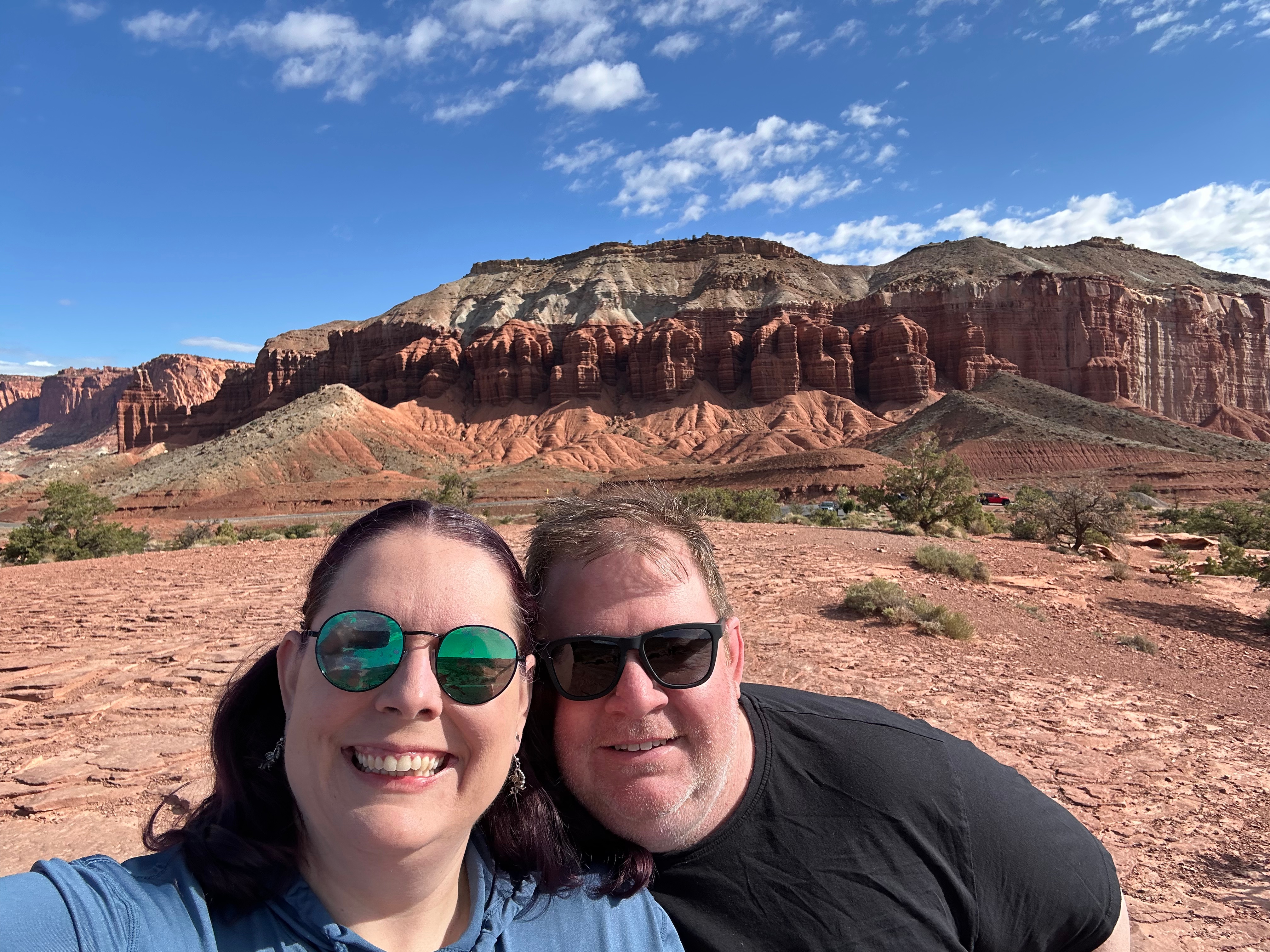
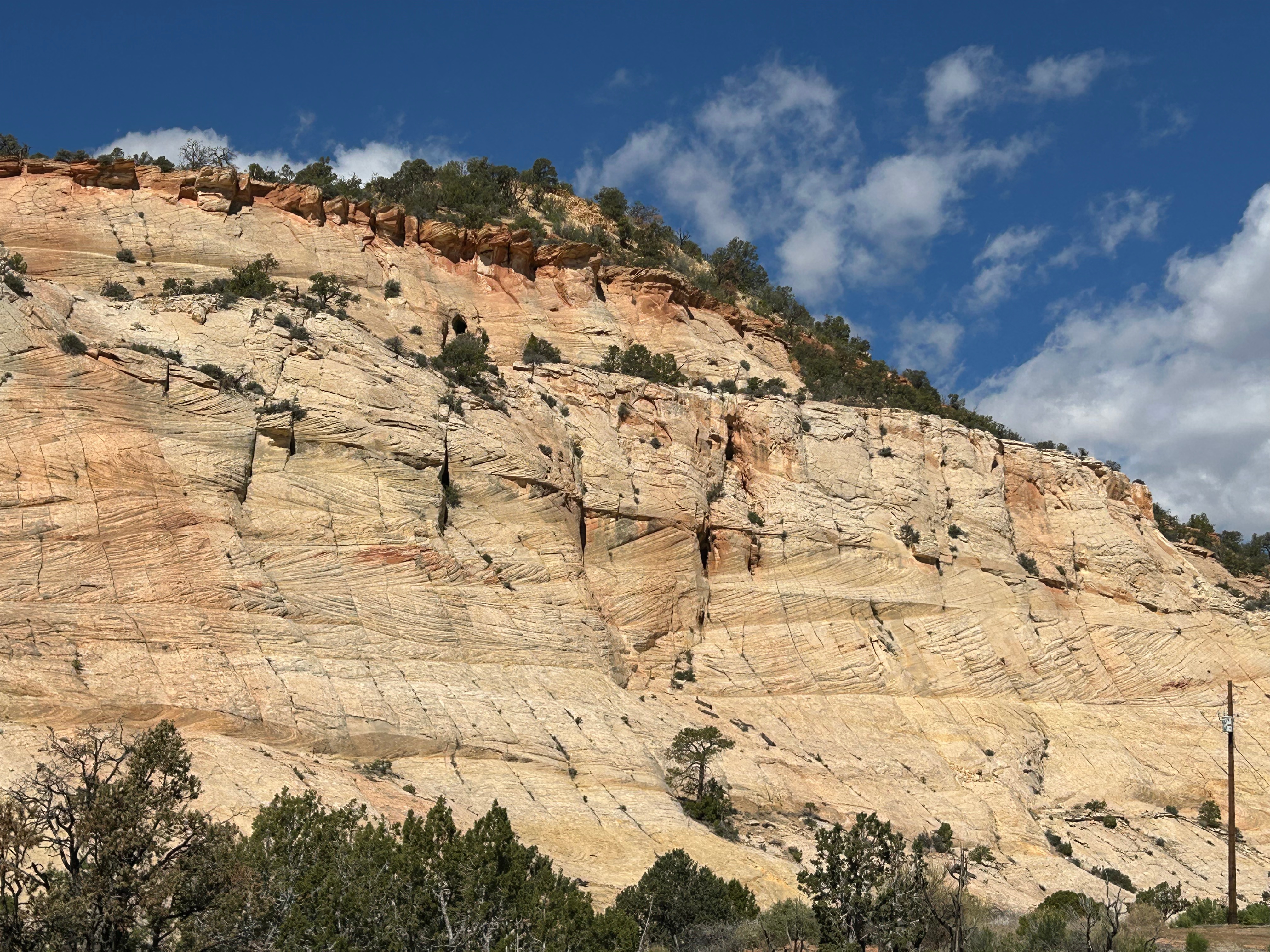
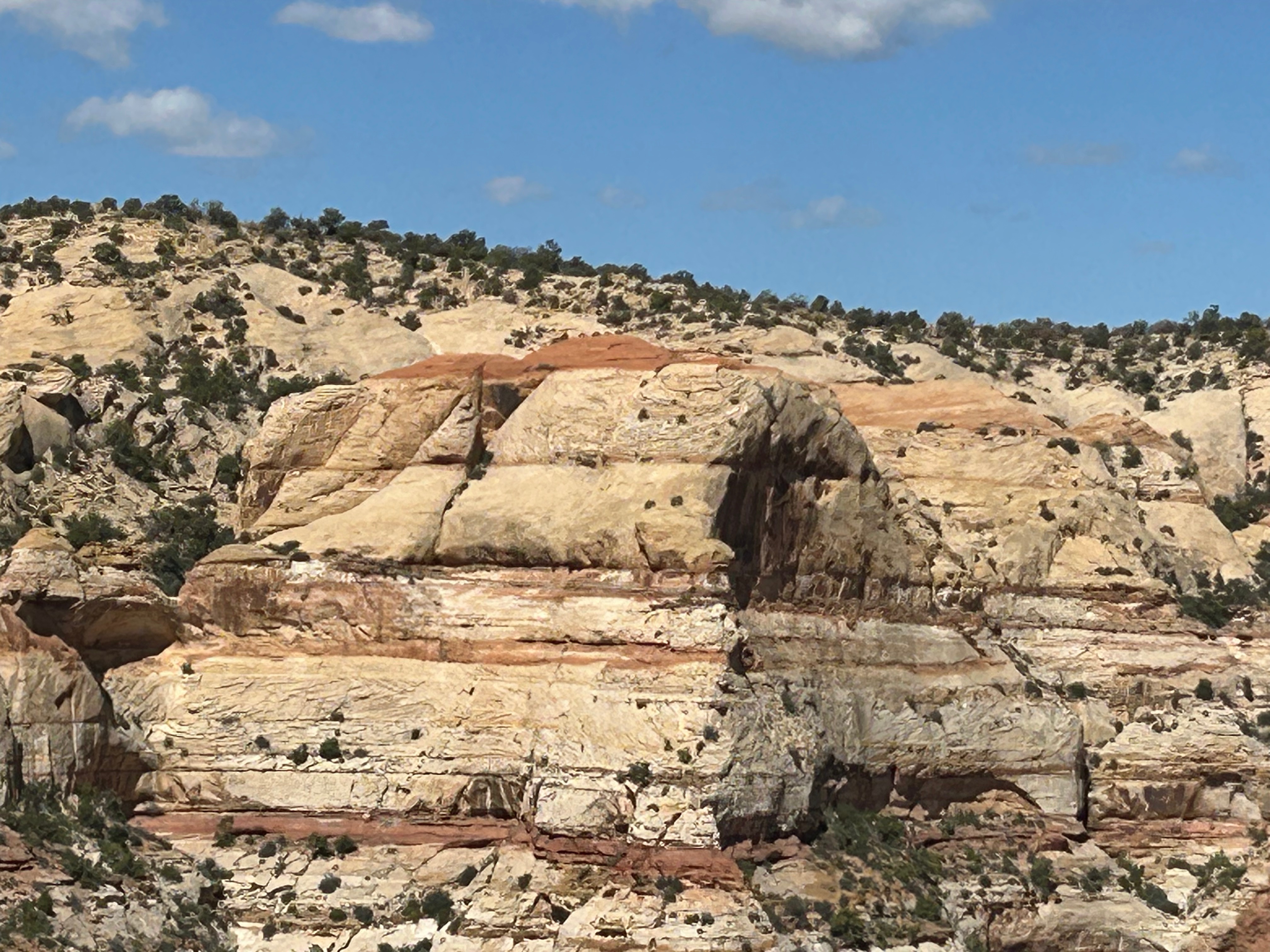
Capitol Reef National Park was pretty close by, so we were already camping around the “Red Rocks”. Capitol Reef had some amazing red rock formations, with some fun stand-out features like The Chimney and The Castle. We enjoyed the visitor center and took in the view at Panorama Point. I really found this park to be enchanting, as it had dry canyons creating dynamic views below you while also having beautiful cliffs and formations above. We didn’t go on the driving tour of the park, as we didn’t have the two hours to spare. So, unfortunately, we didn’t see the namesakes of this park–the Capitol Dome rock formation or the Waterpocket Fold (folded rock formations that look like a barrier reef). But the entrance area and the Fruita Region were super cool.

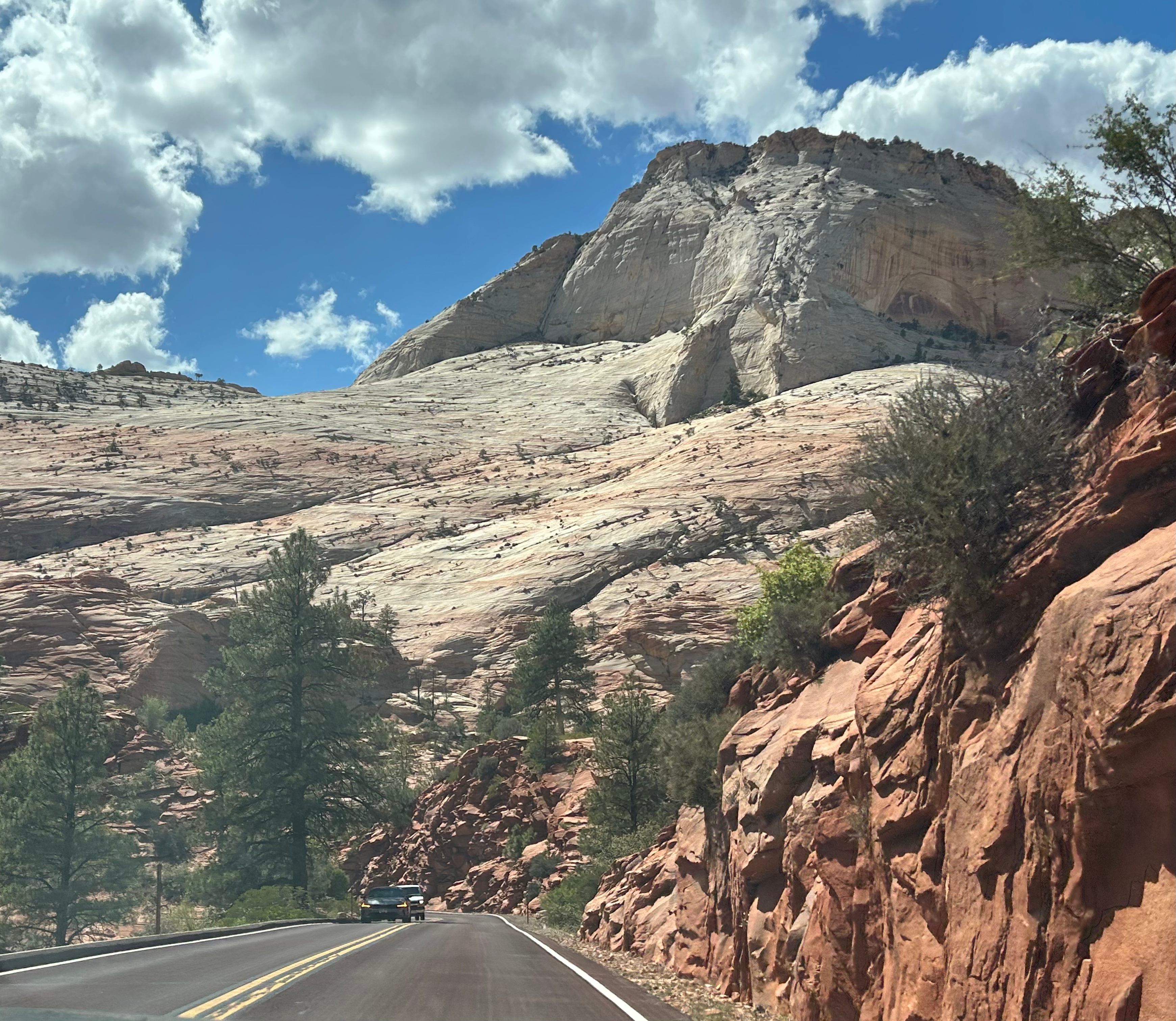
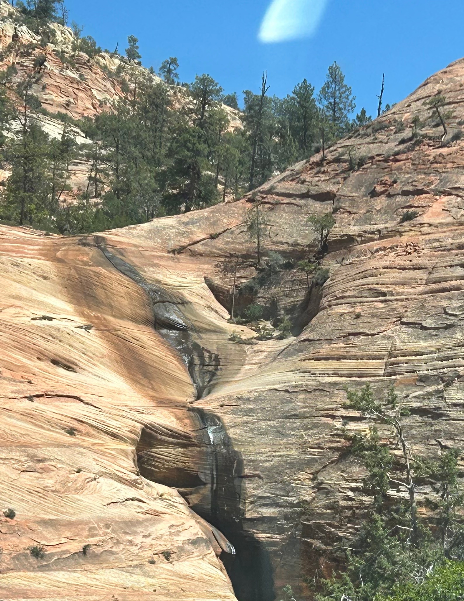
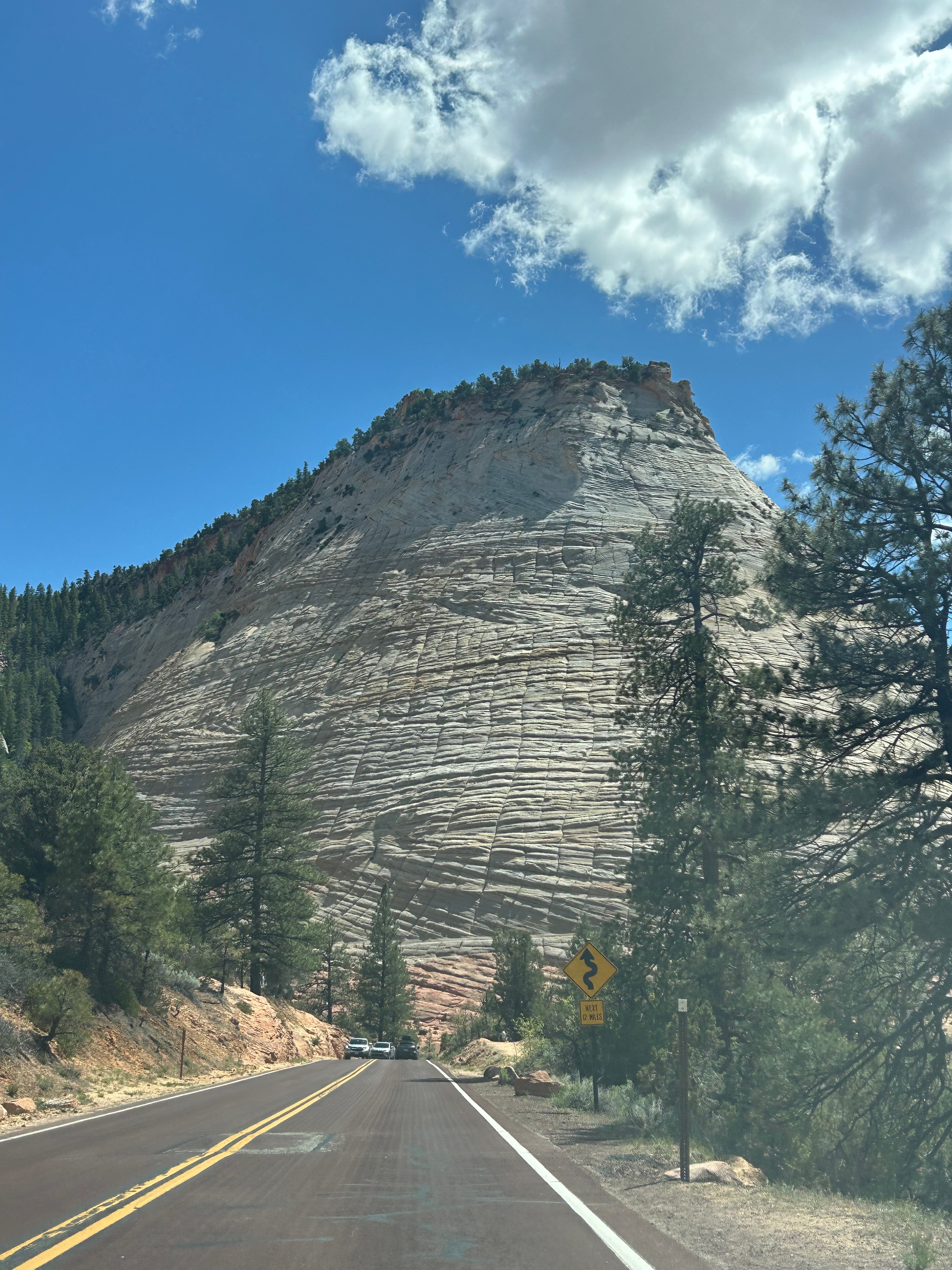
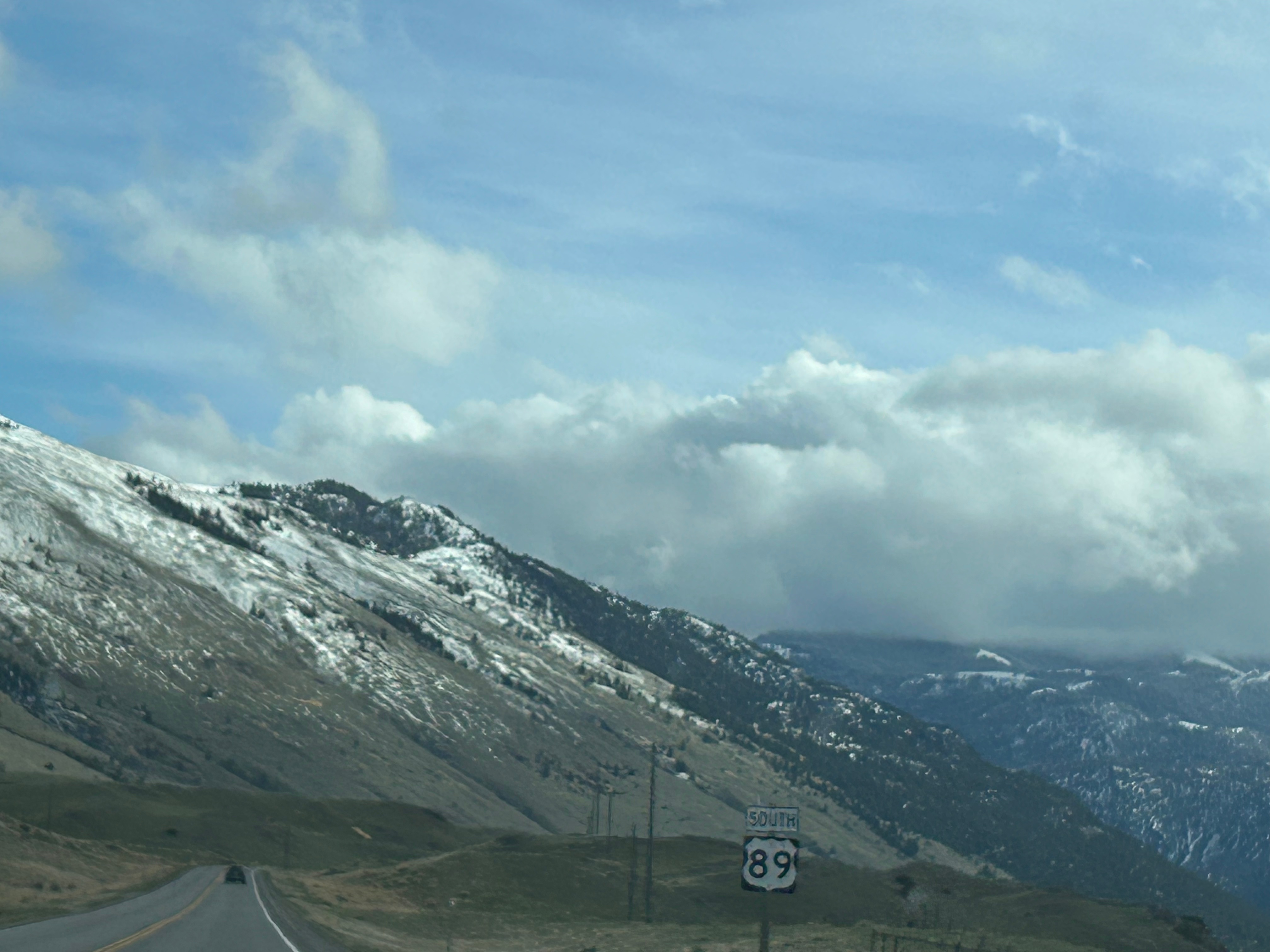
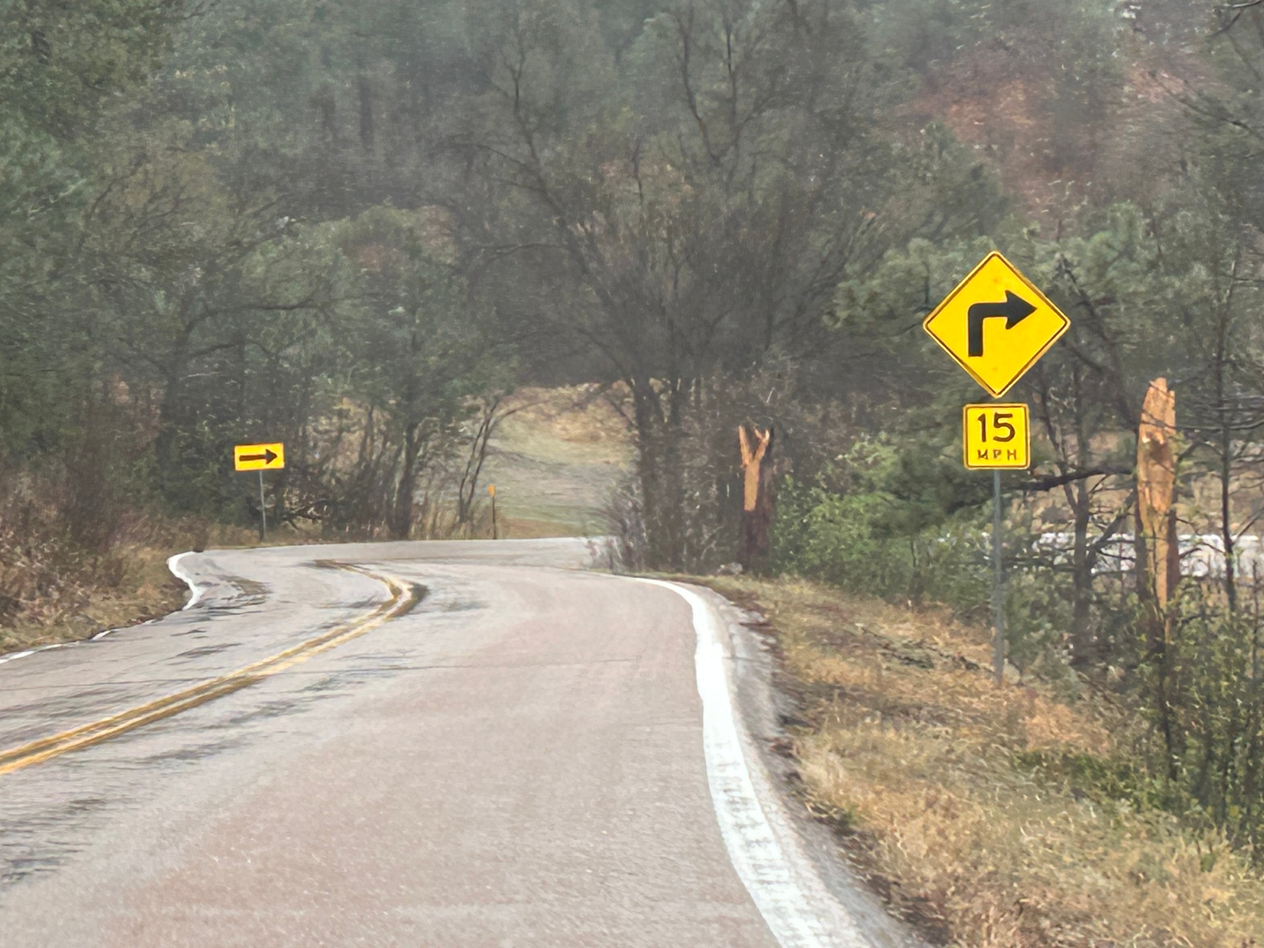
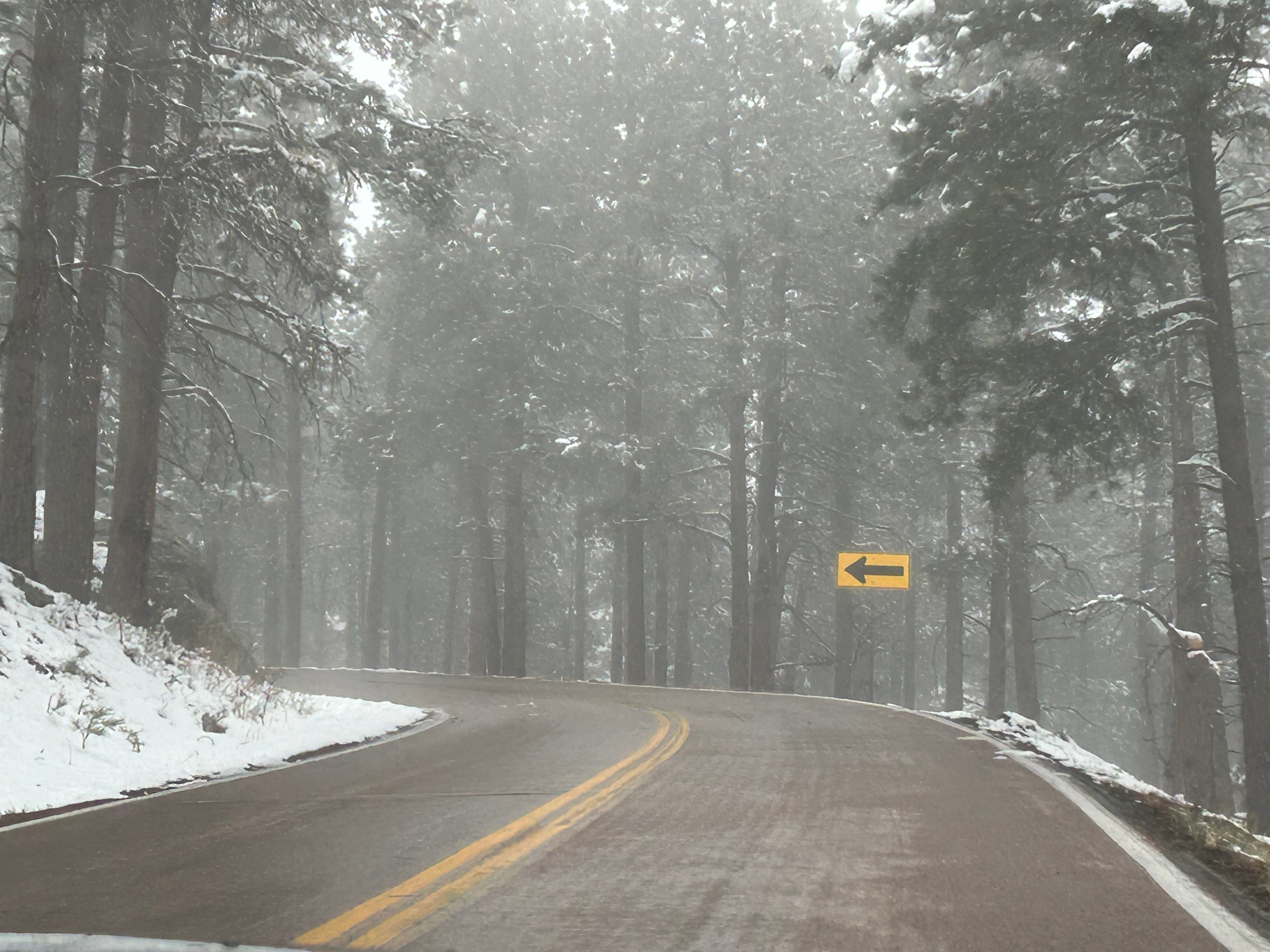
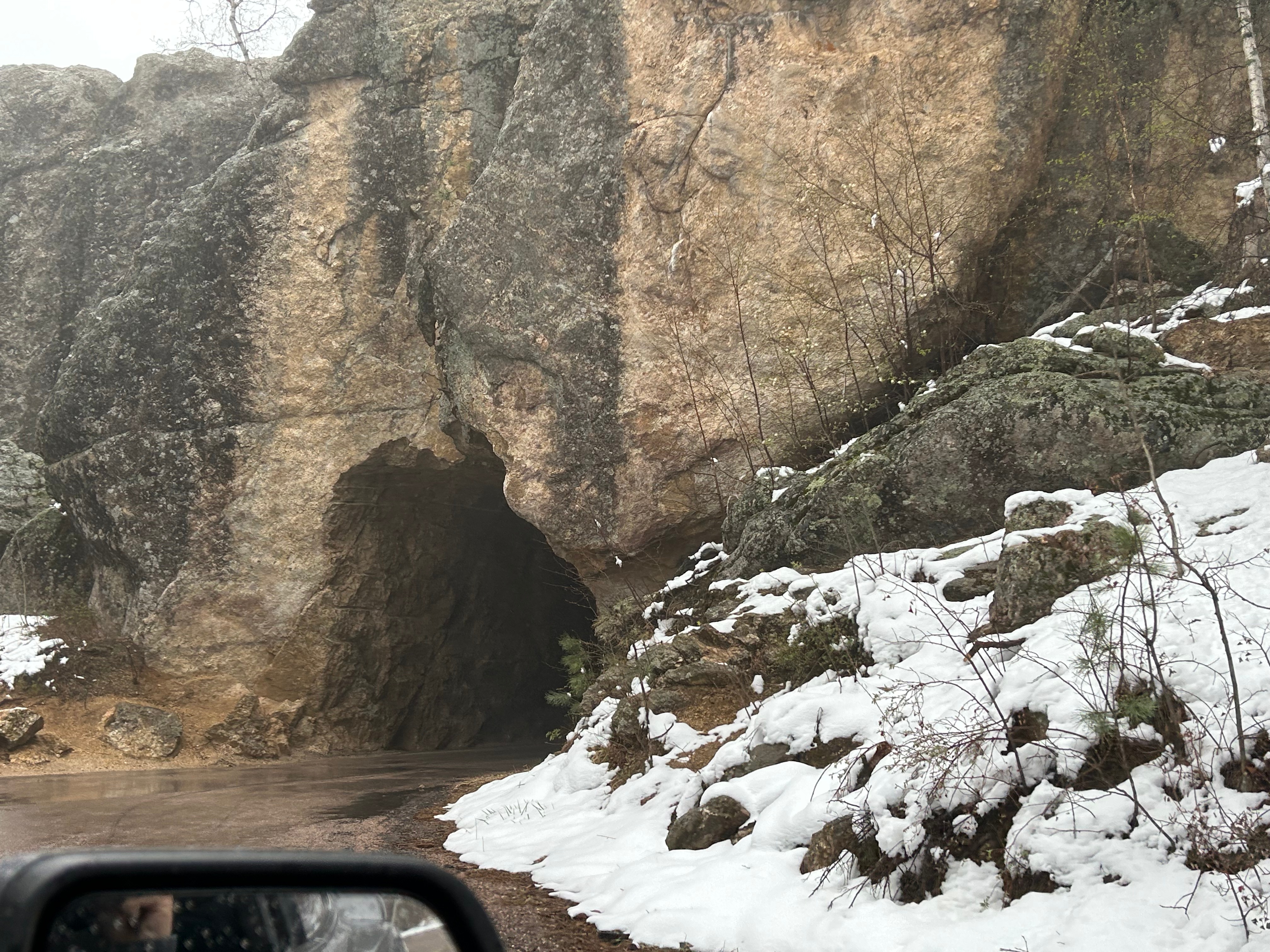
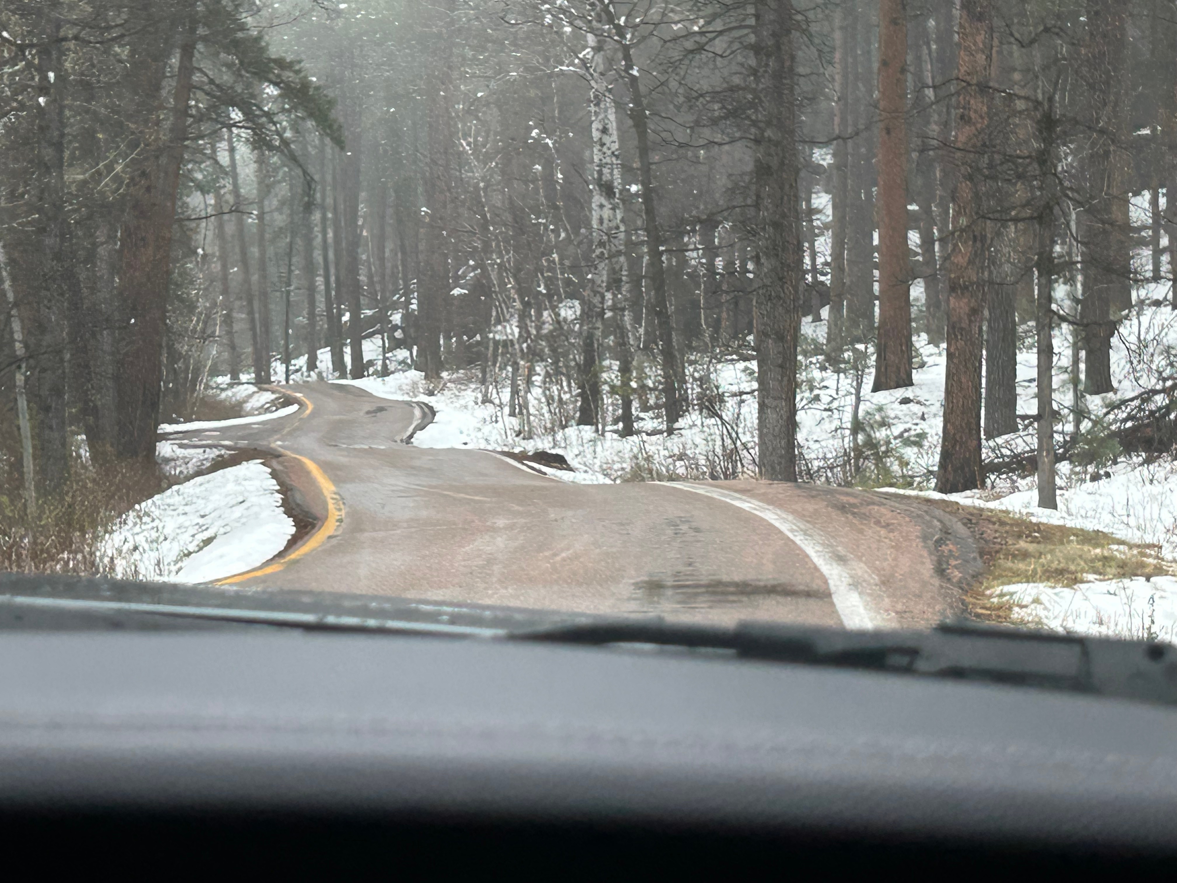
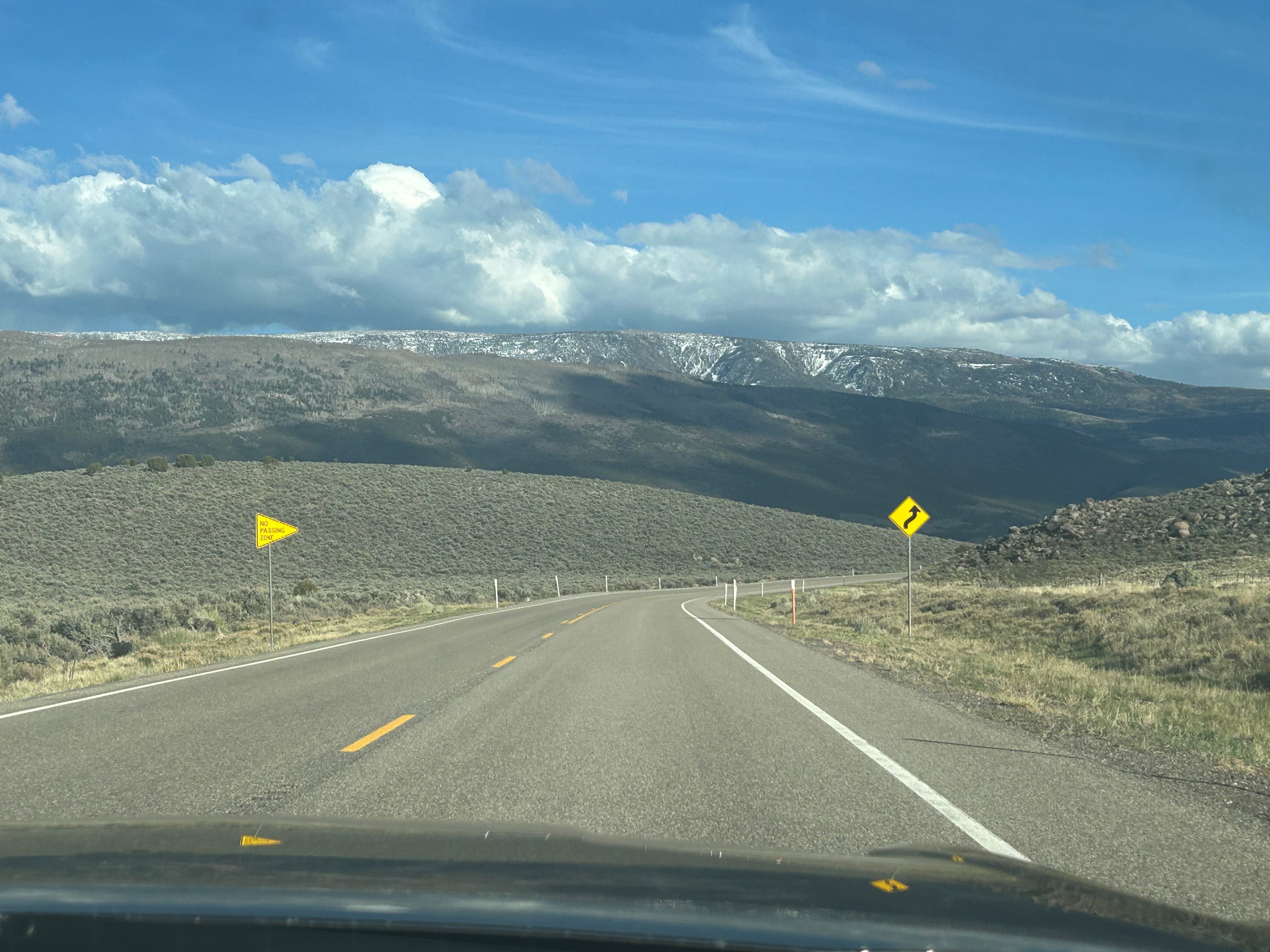
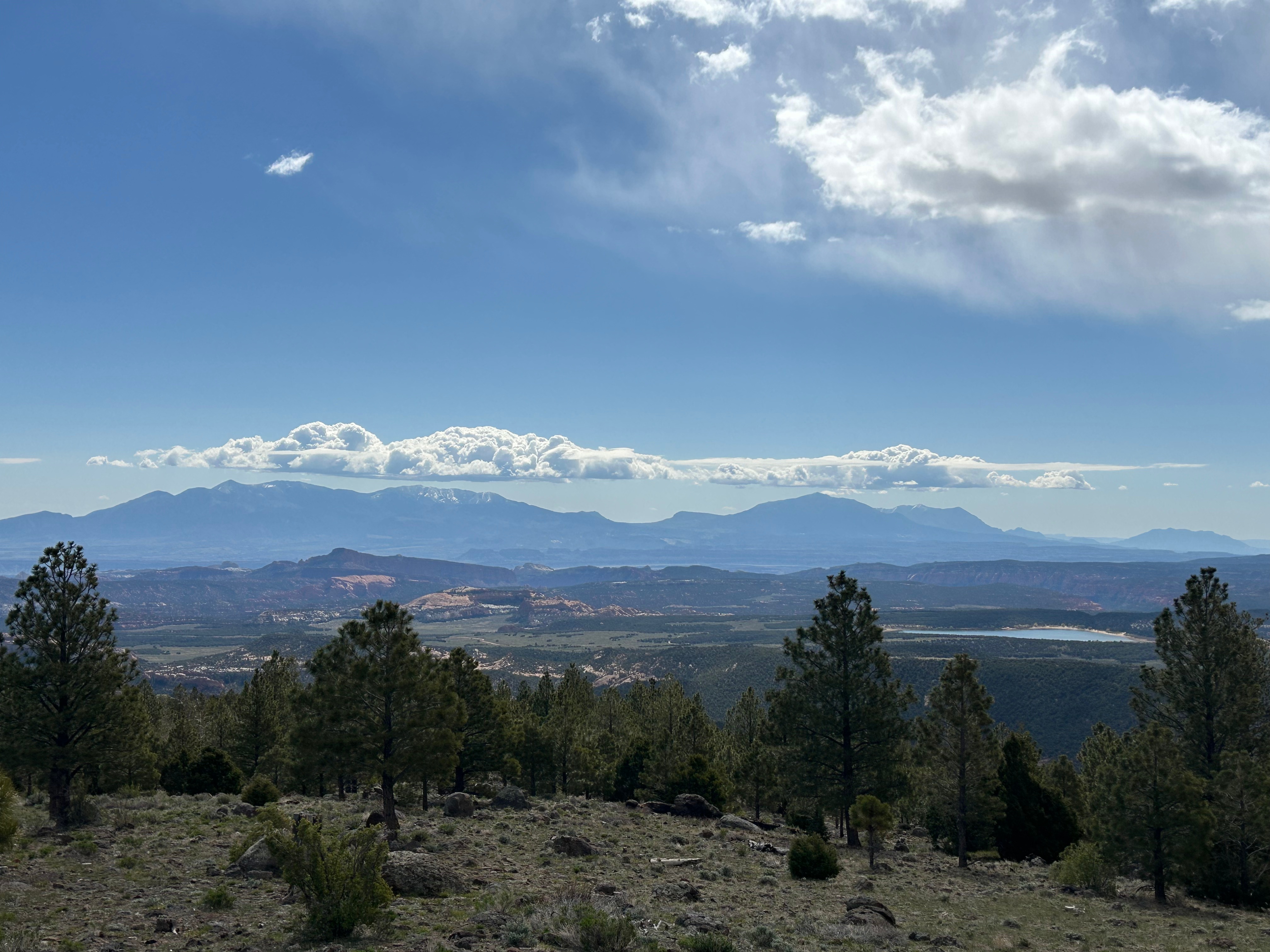
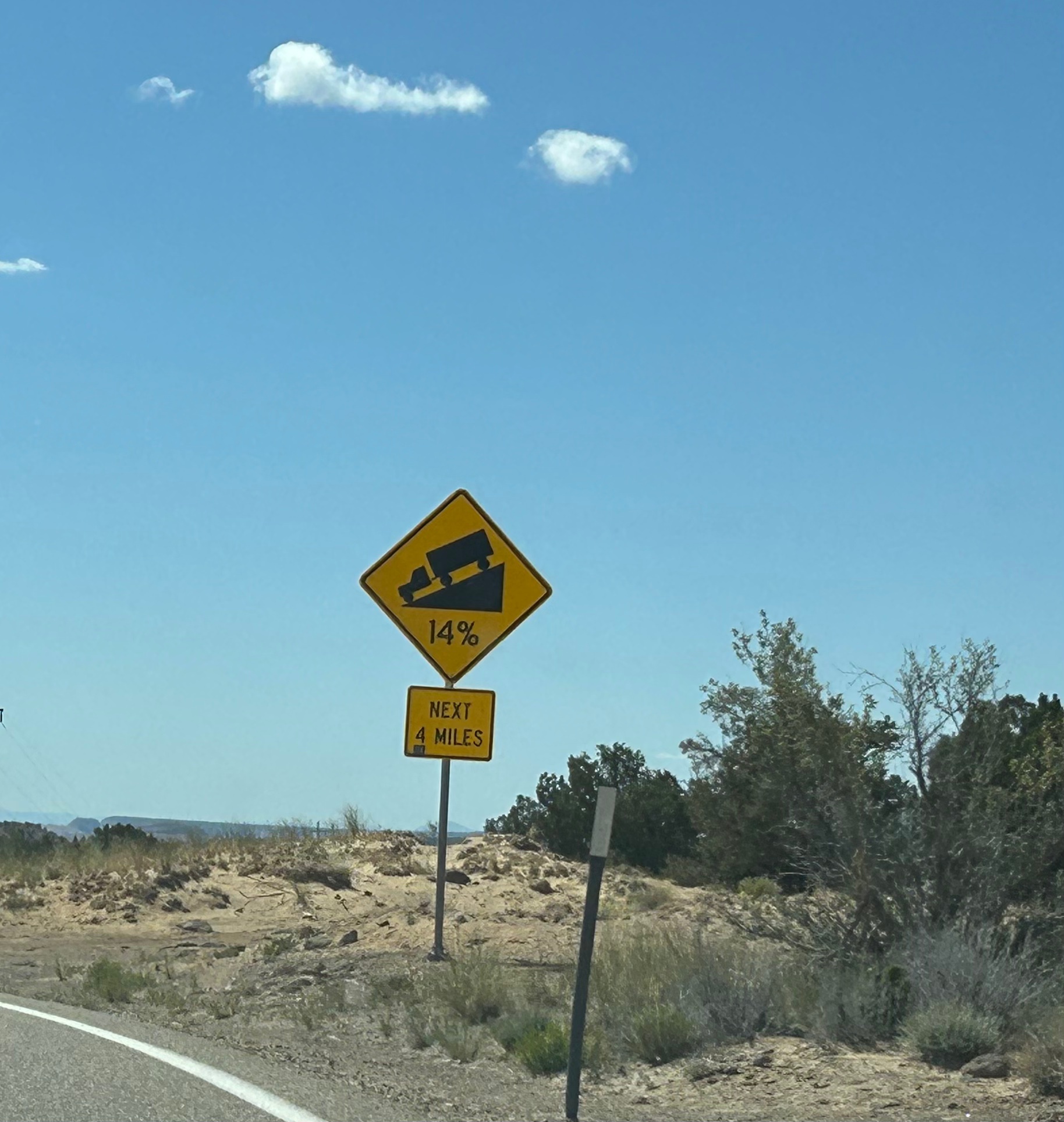
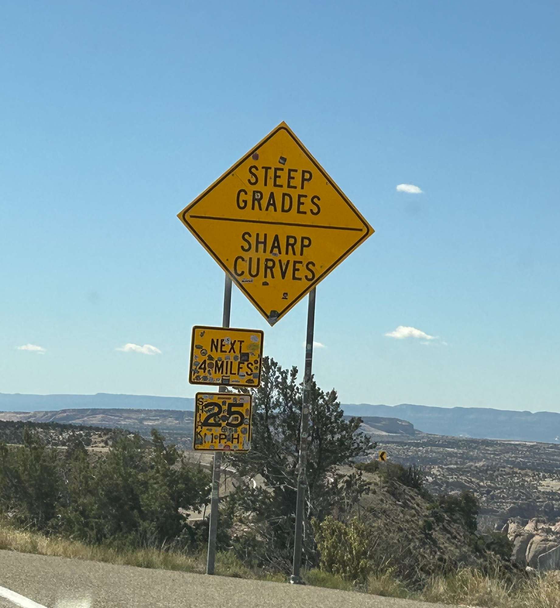
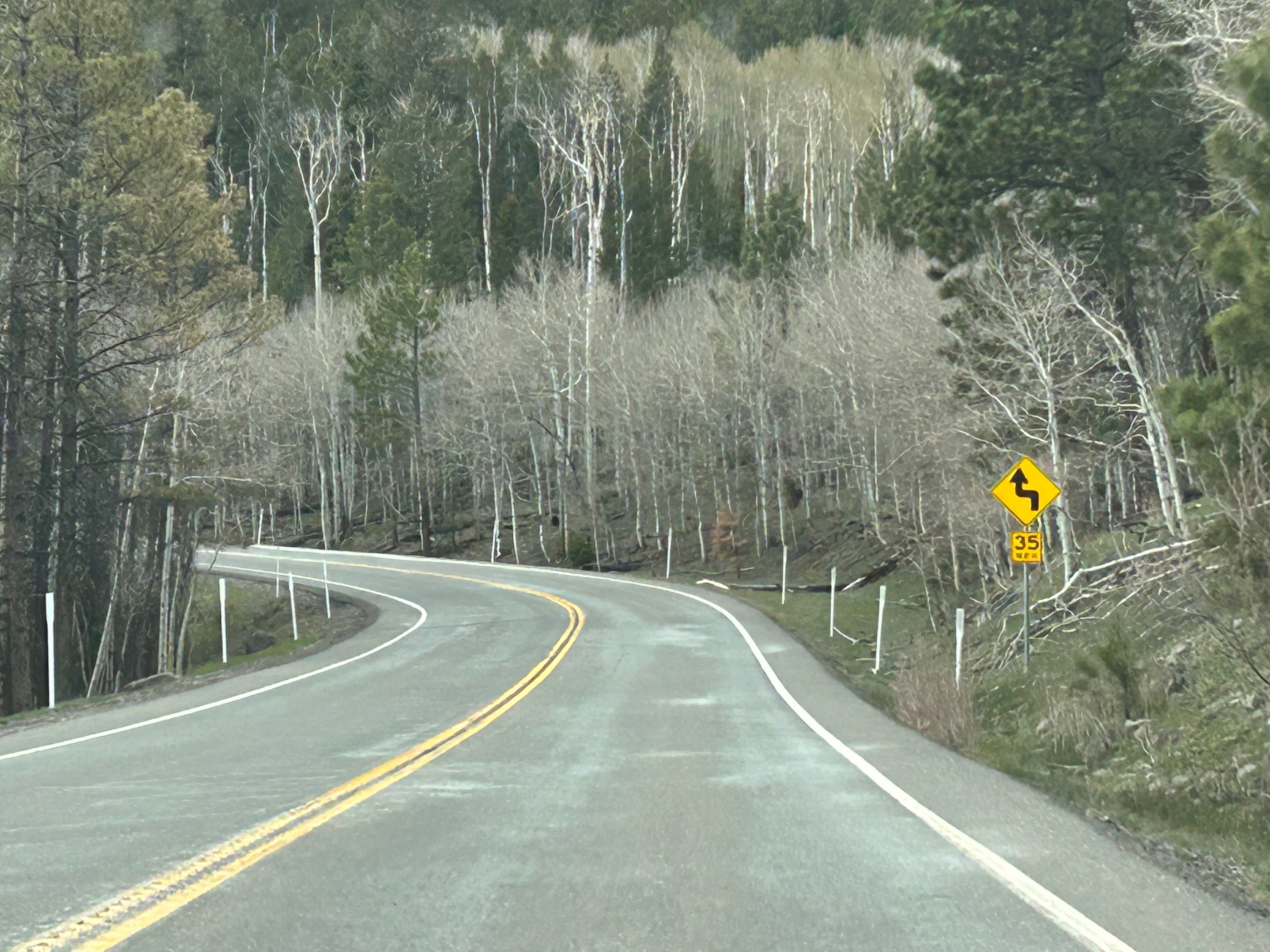
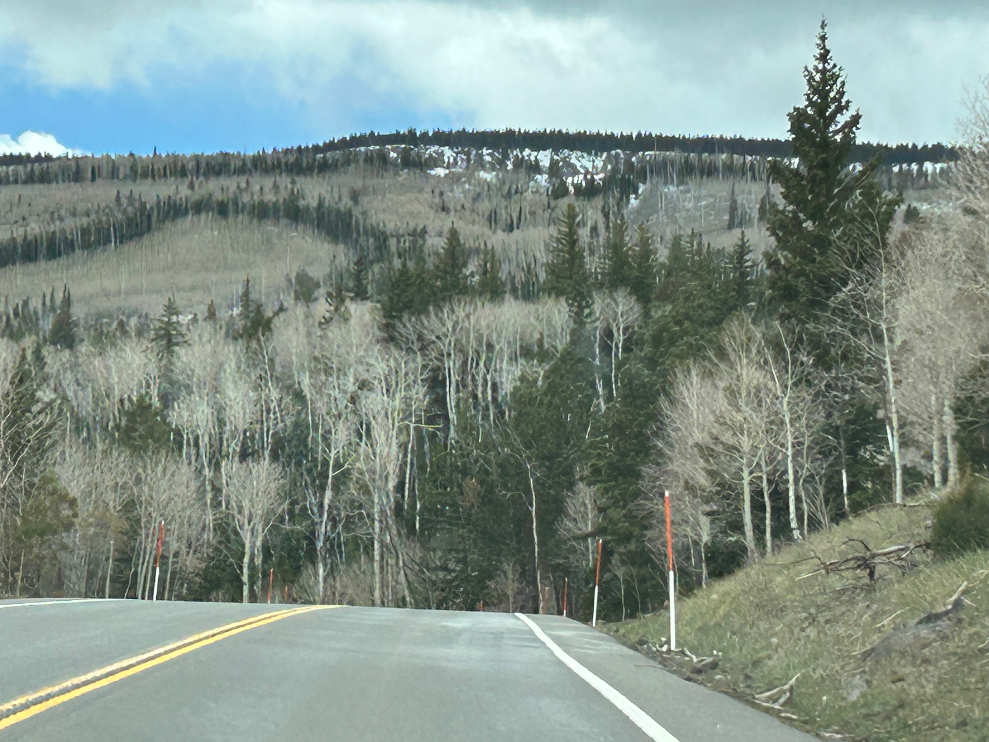
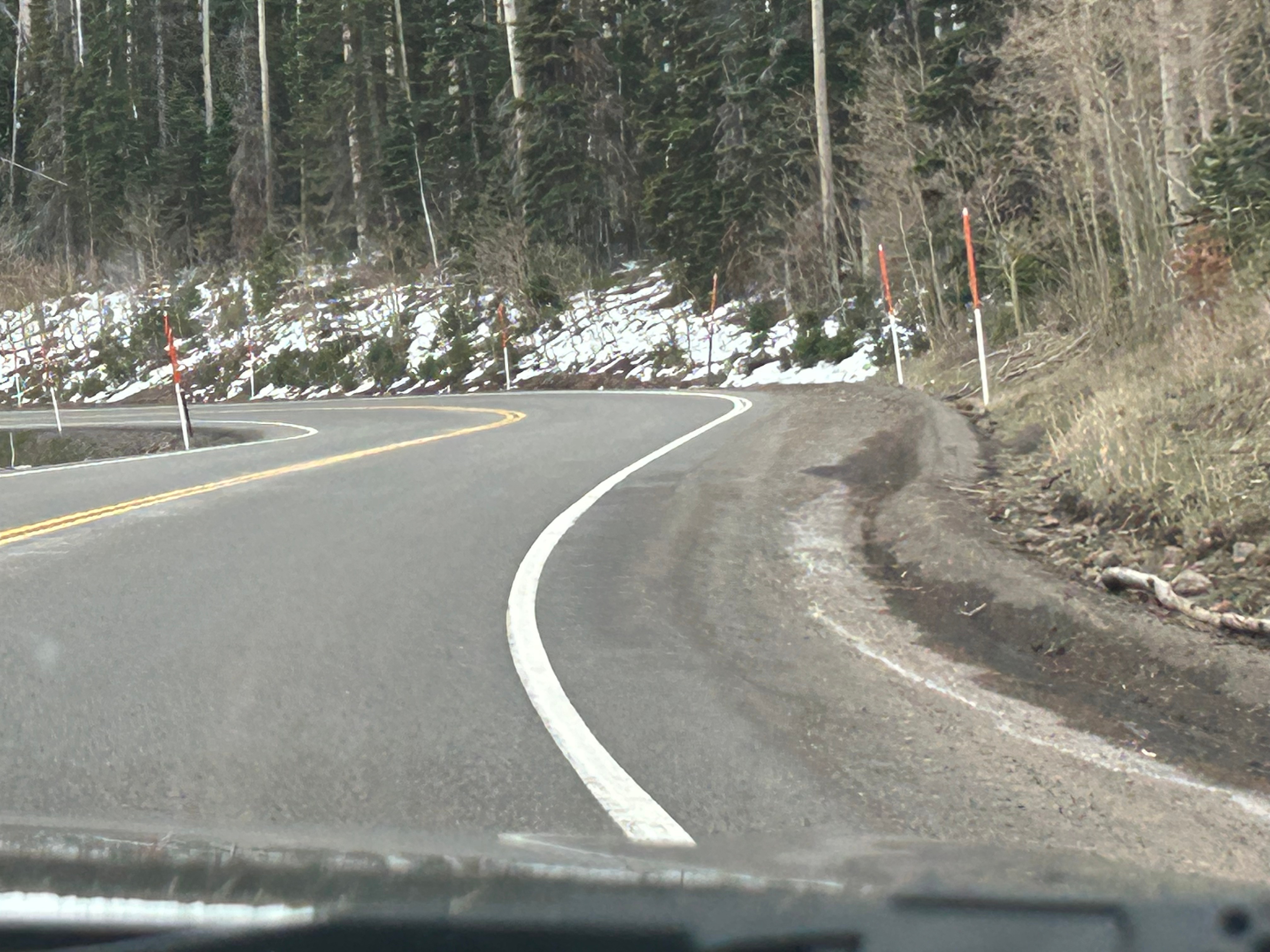
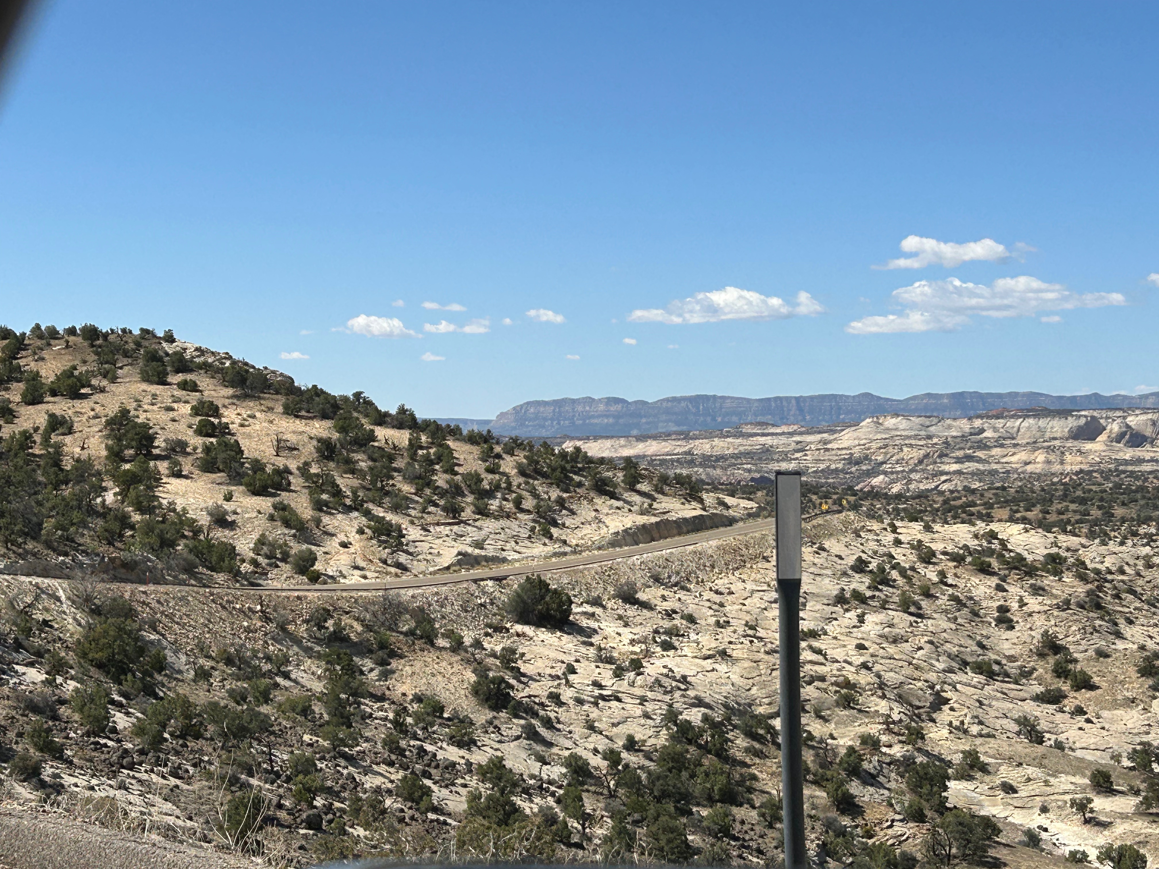
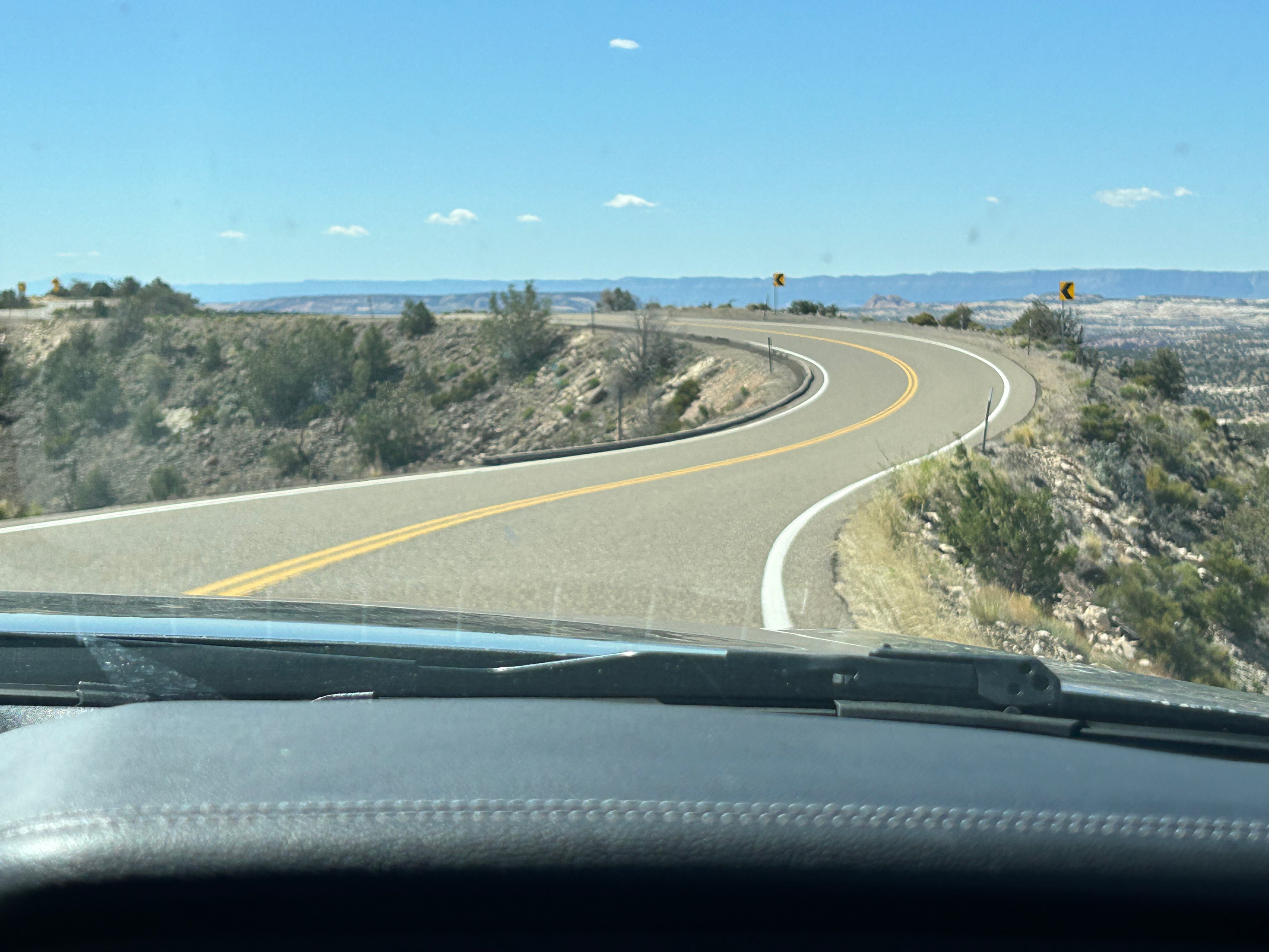
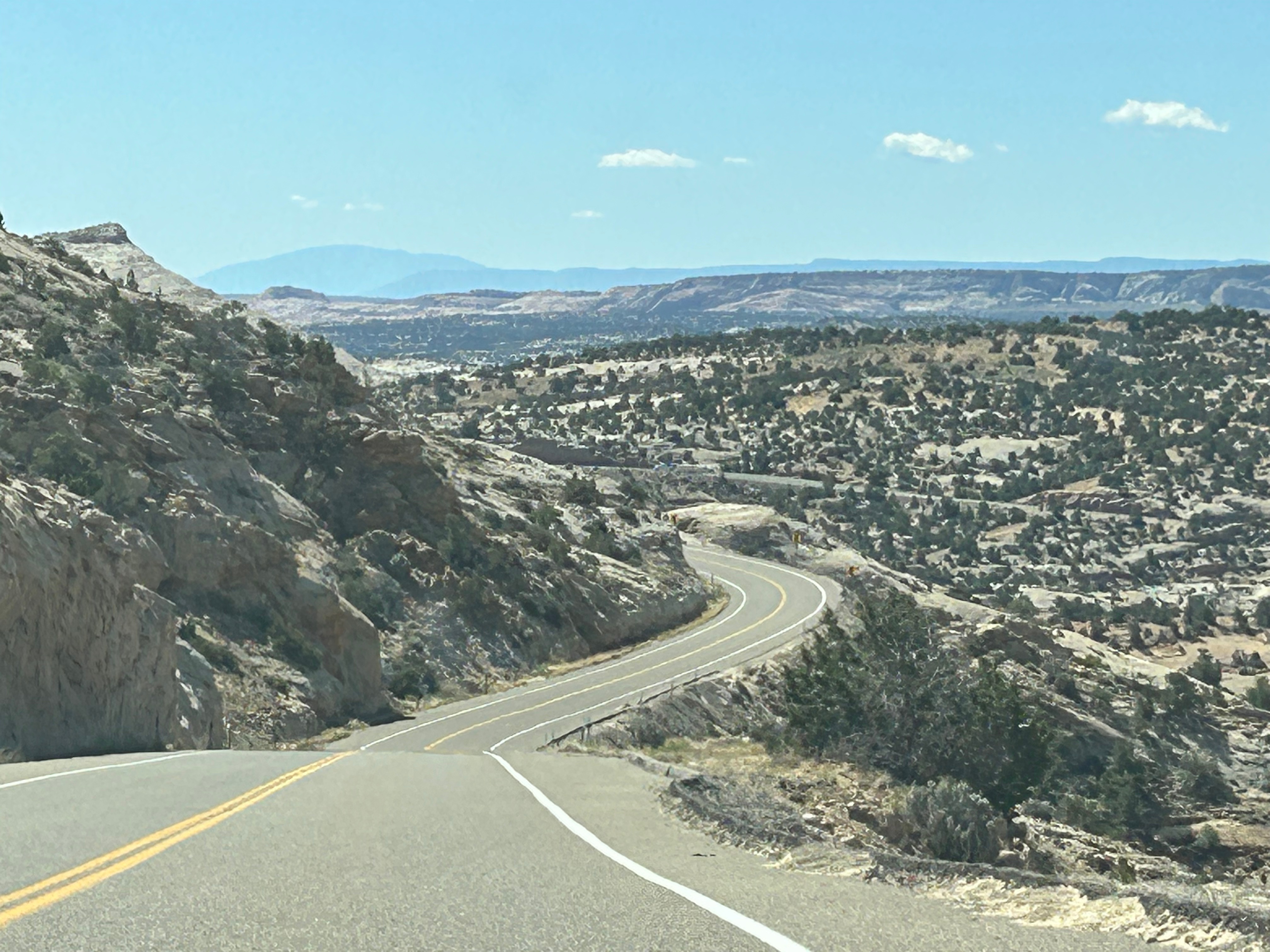
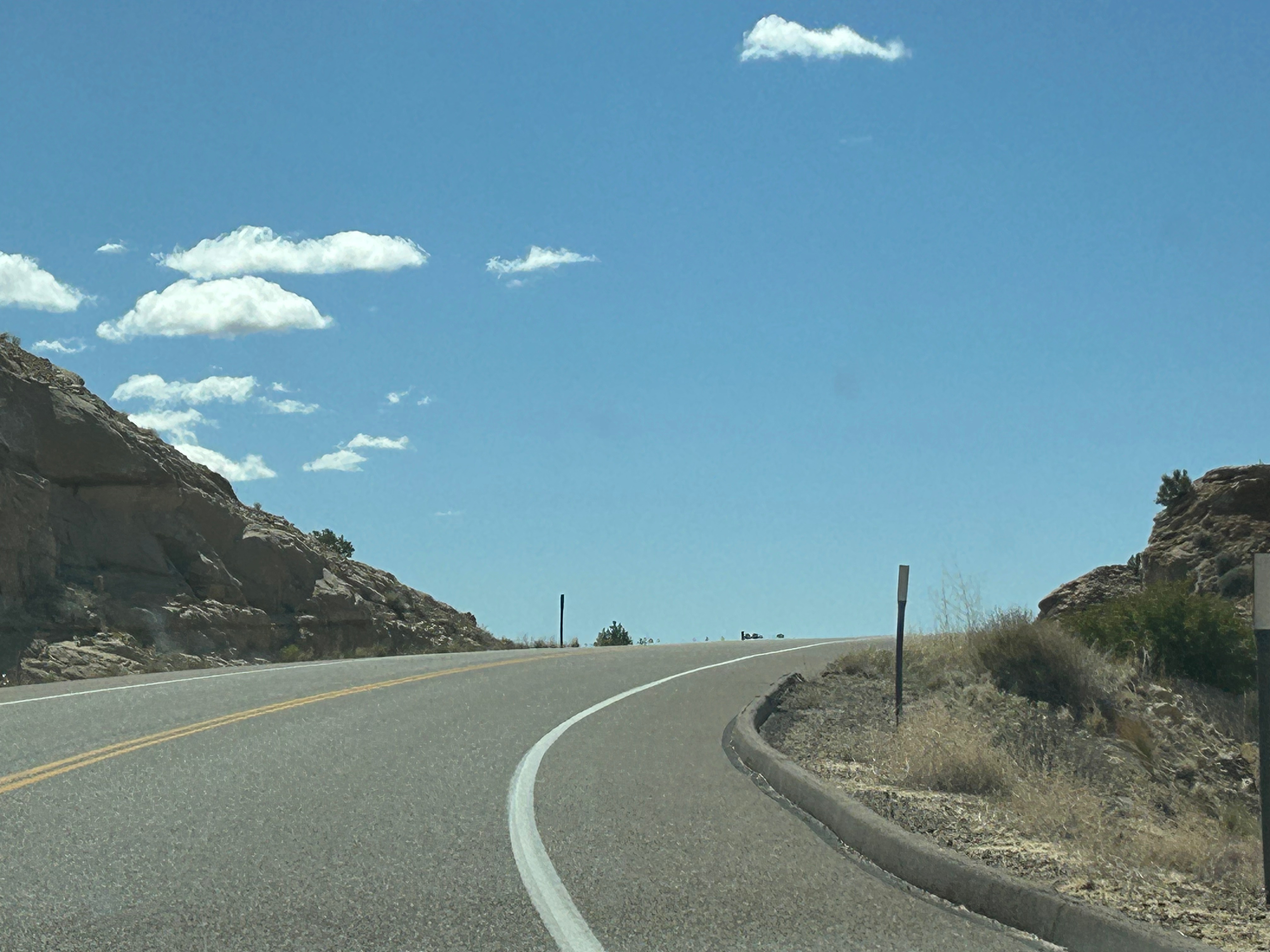
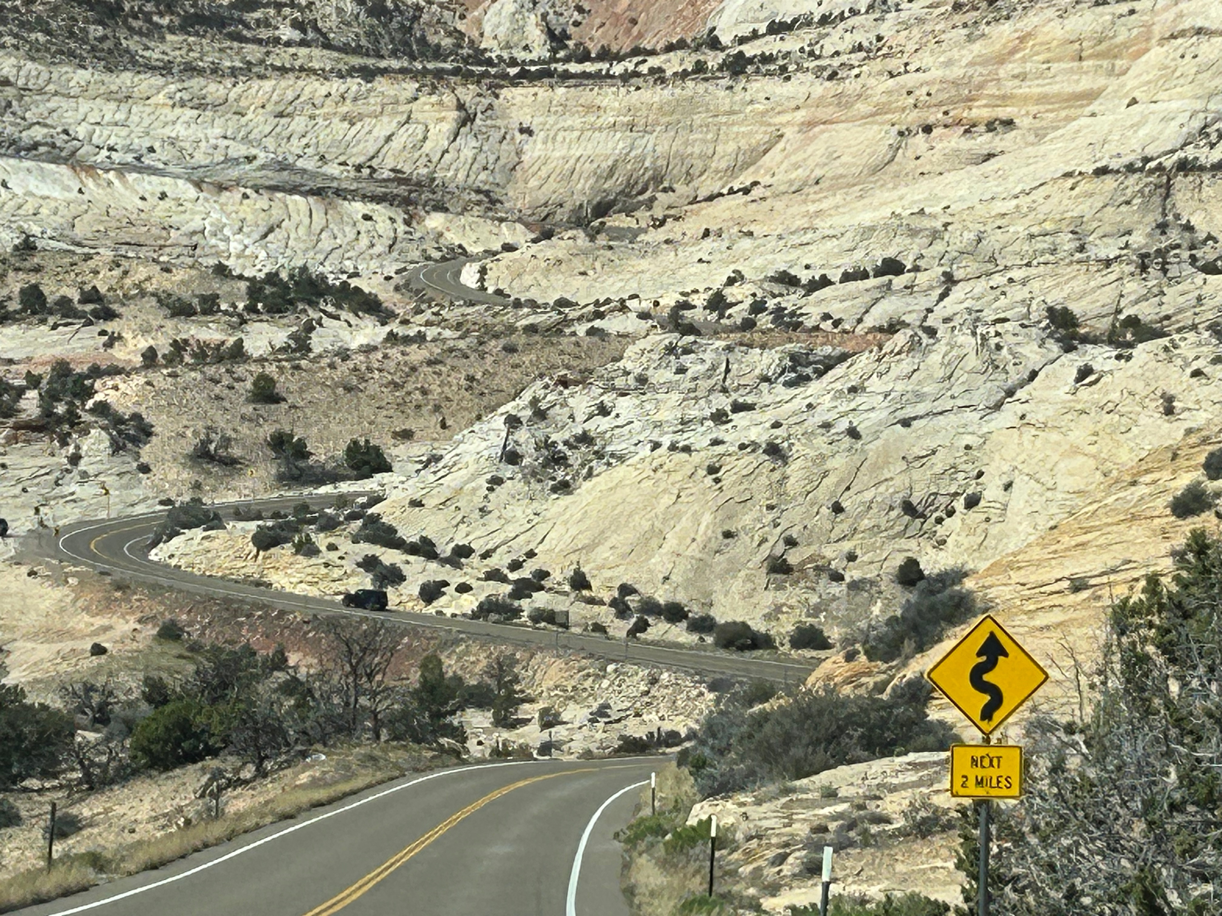
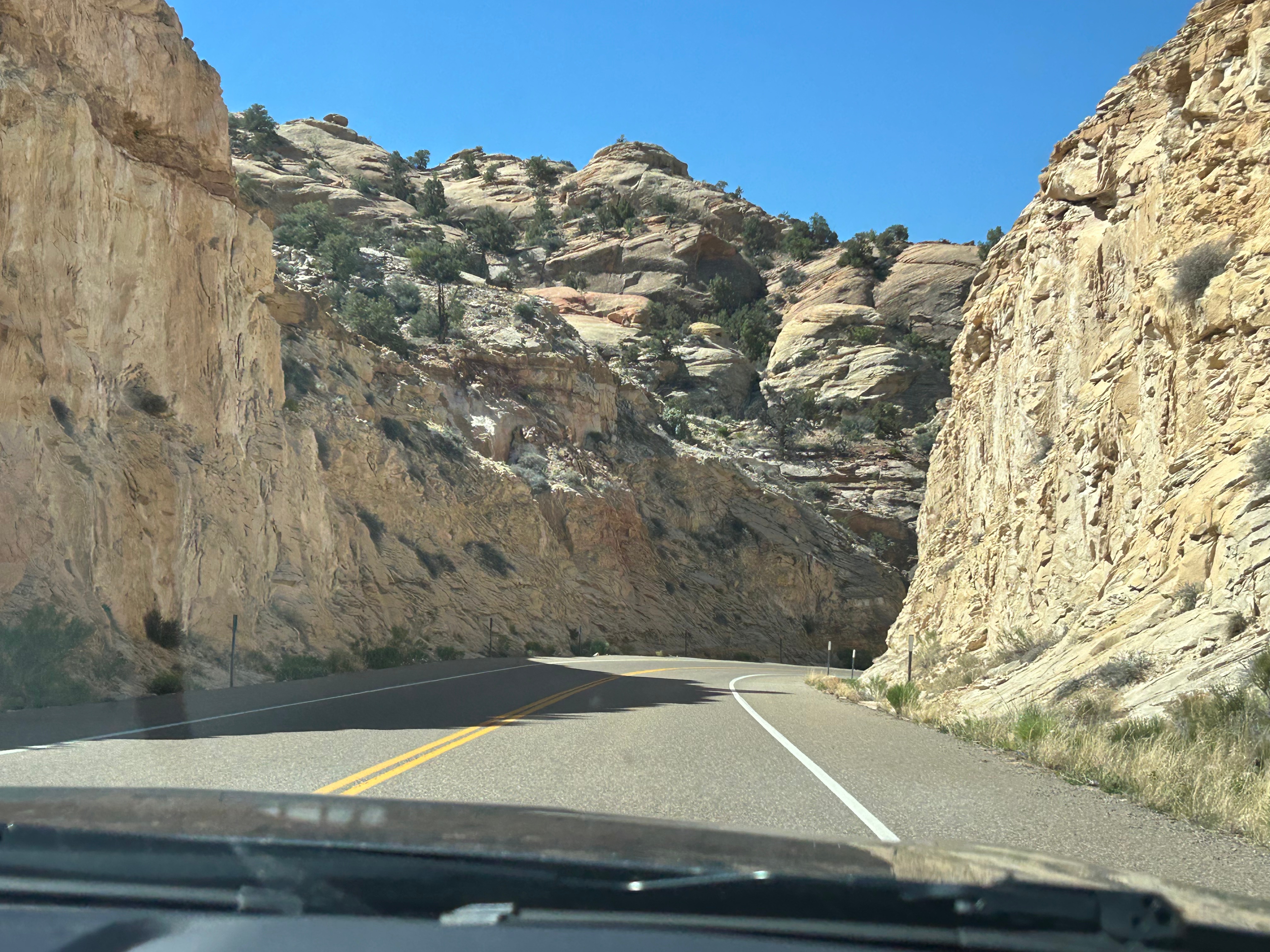
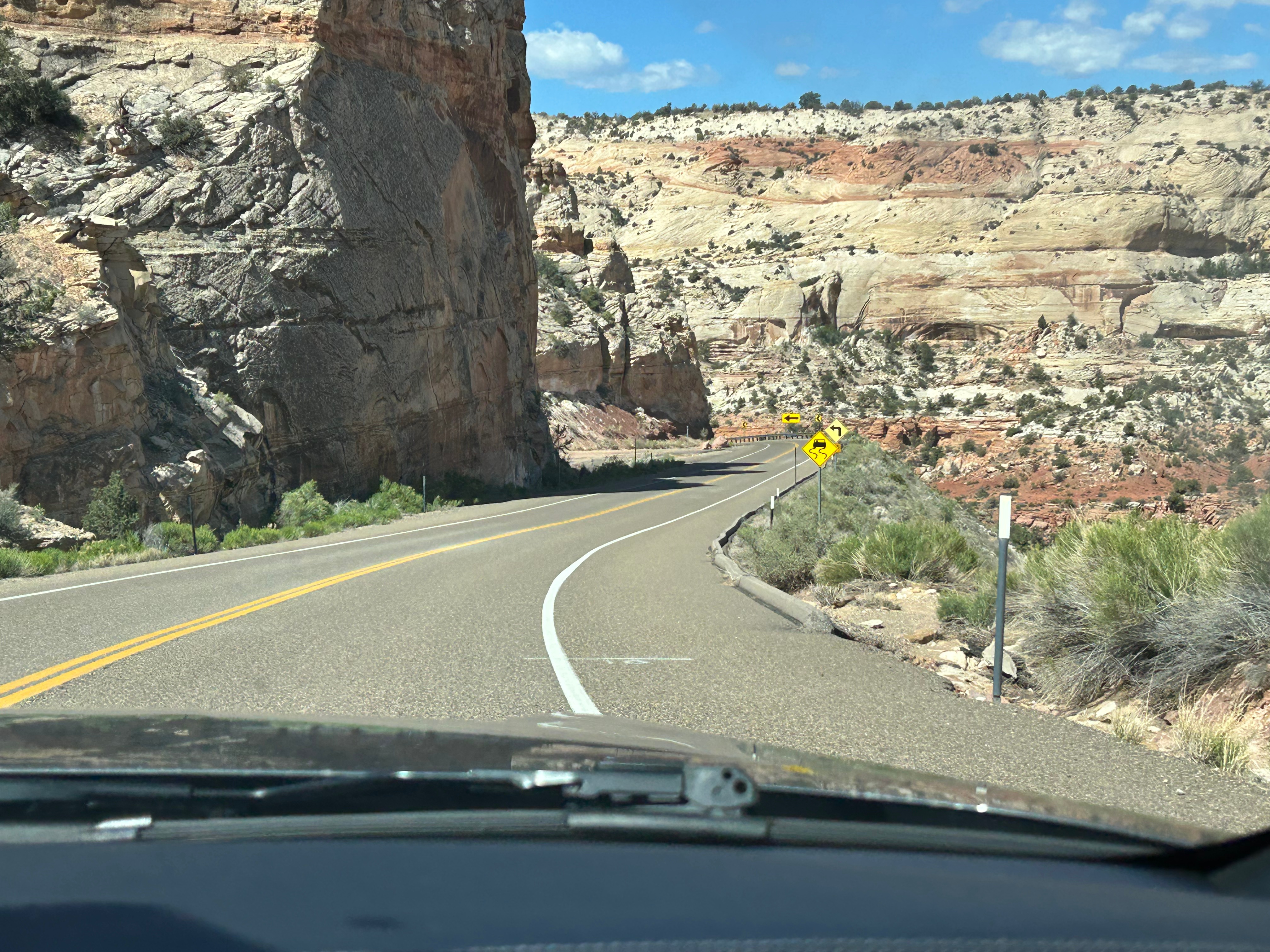
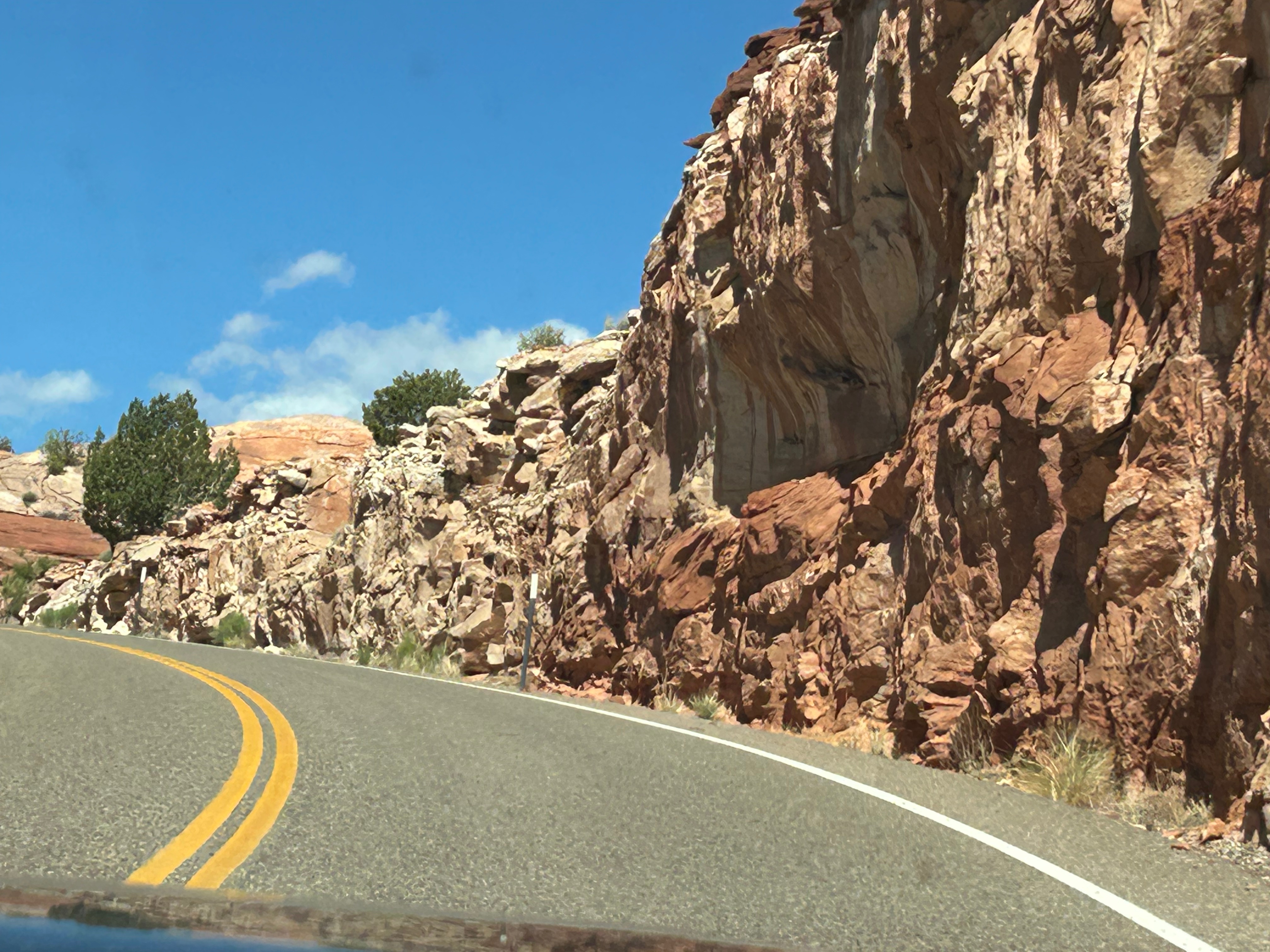
Onward, we took the longer way from Capitol Reef to Bryce Canyon, on Scenic Byway 12. This 100ish mile road was noted as being one of the best scenic drives in the United States. I was a little skeptical about that claim, as we’ve driven some fantastic roads across the country. However, I stand corrected. This was hands-down the best driving road we’ve been on. We climbed up and down through the mountains, going up to 9800 feet at the peak. We went through Slot Canyon and parts of the Dixie National Forest as well as the Escalante region. Some of the roads were merely a path across the top of a ridge, with nothing around you on either side (unless you looked way down). The curves and the switchbacks were grand and sweeping, much of the way. In many sections, it was like our own personal rollercoaster! (Side note: those poles you occasionally see along the road’s edge are snow markers, so you know where the road is during winter. No way on earth would I be on a road like this in winter…trying to stay on the road by watching the poles!!!)

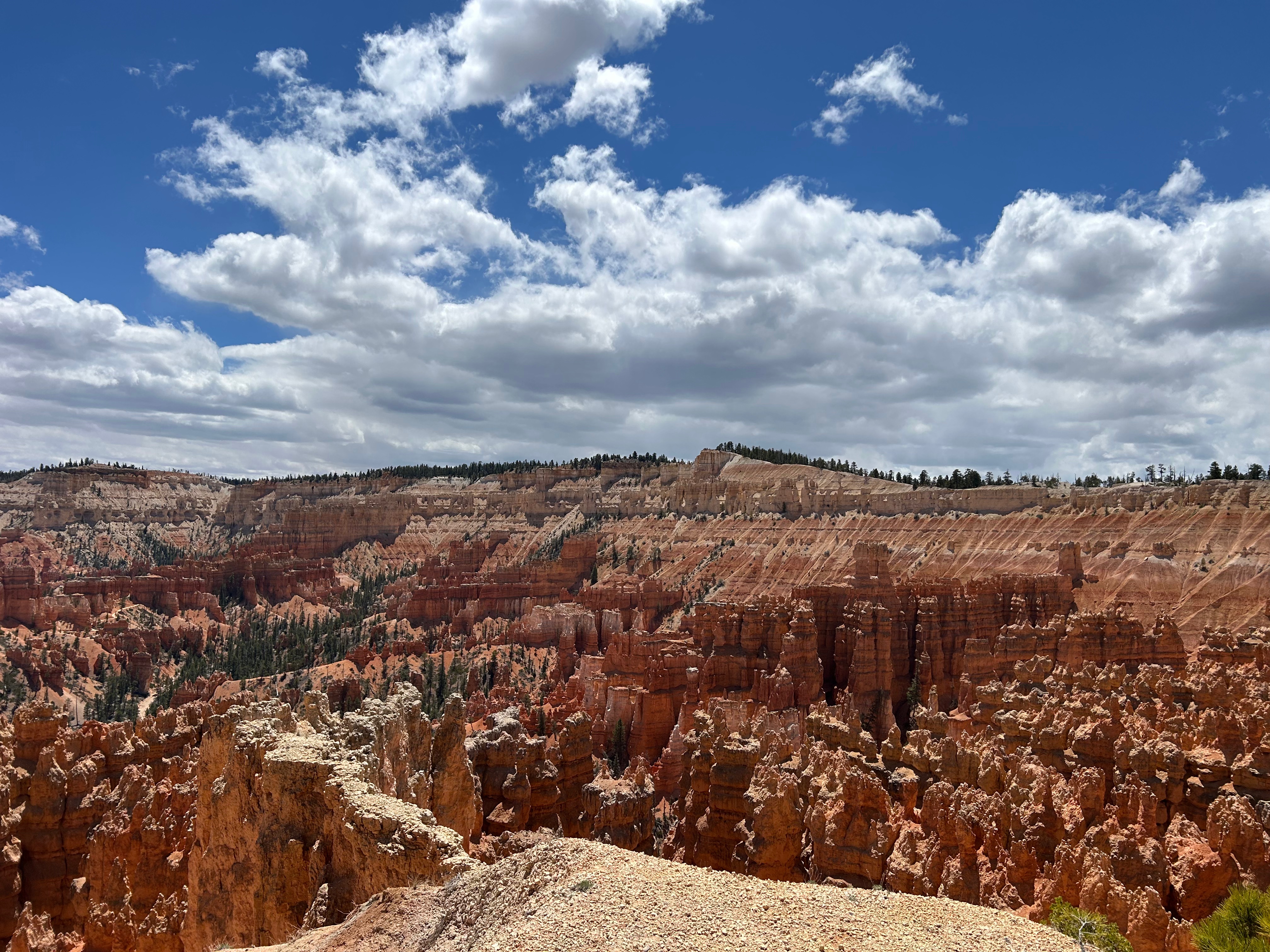
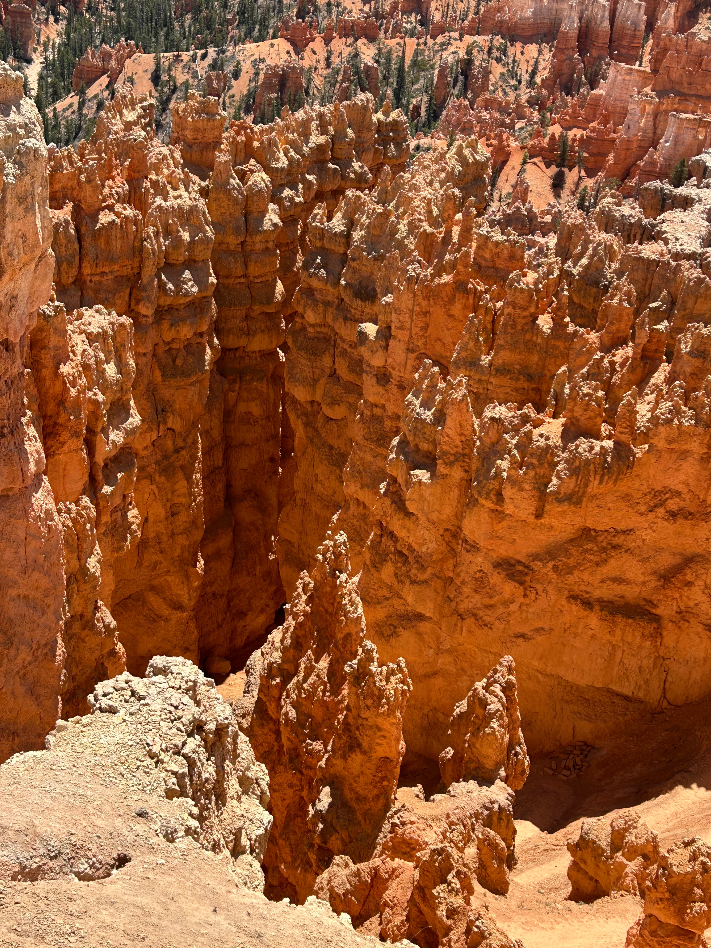
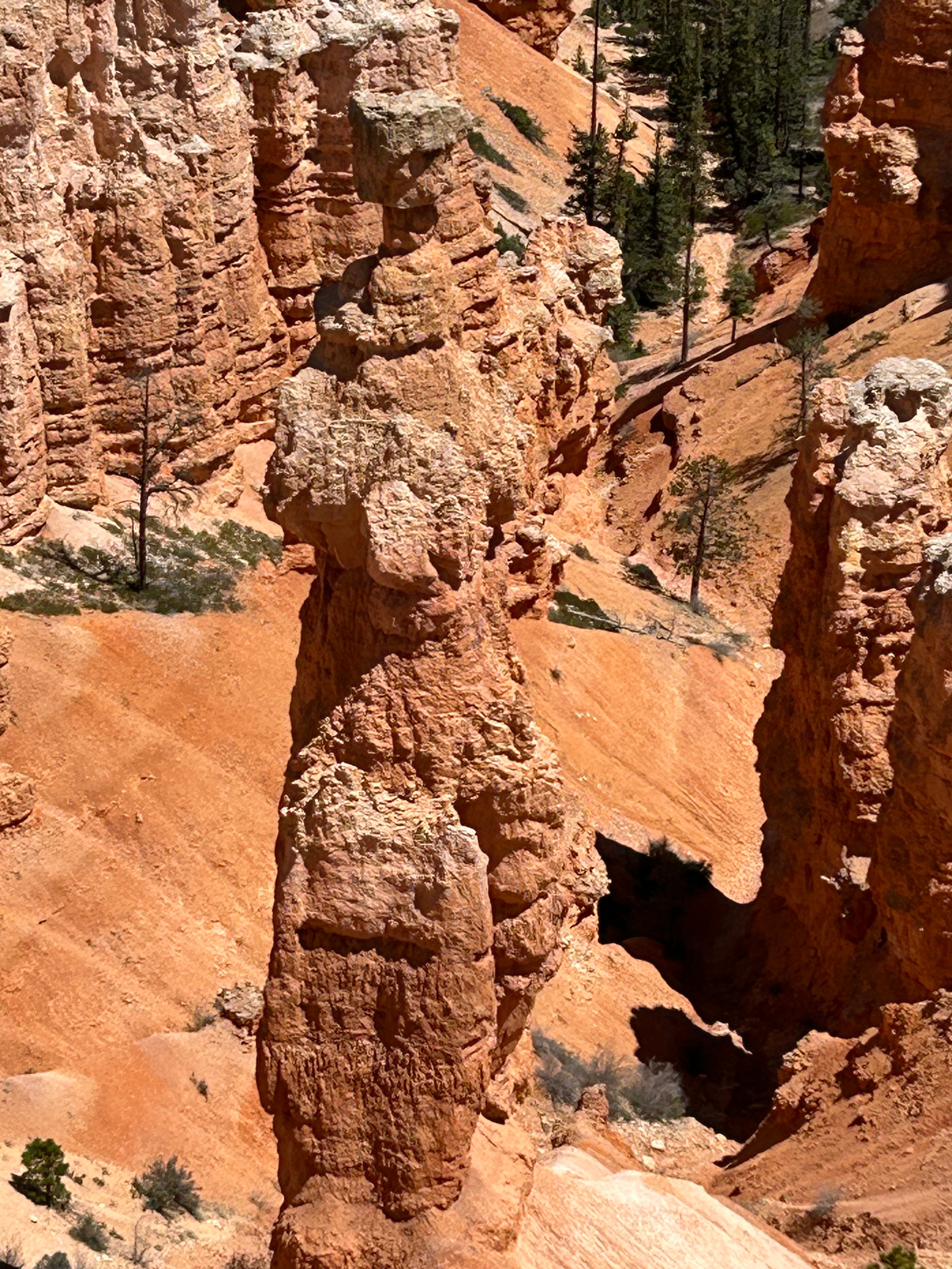
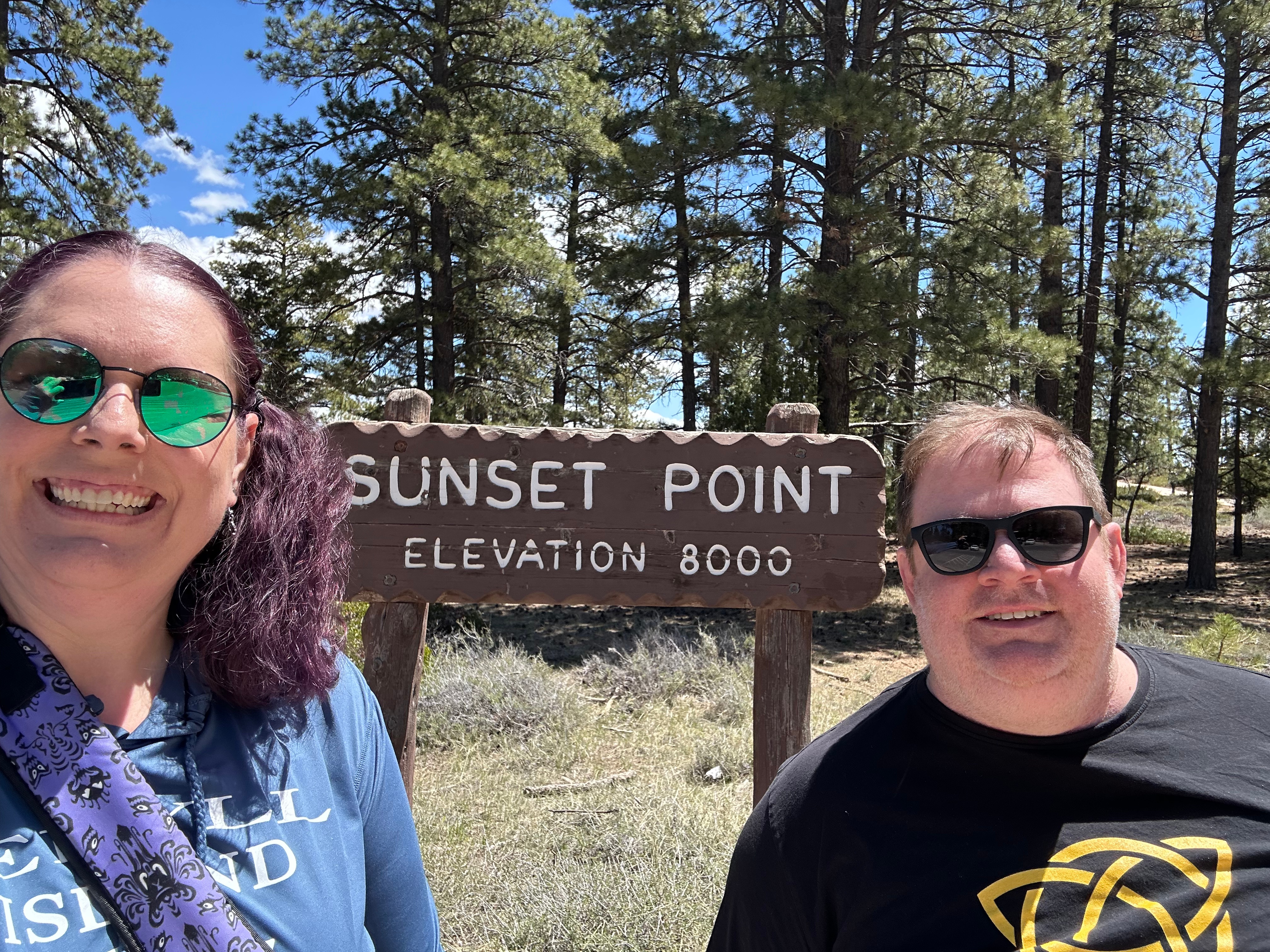
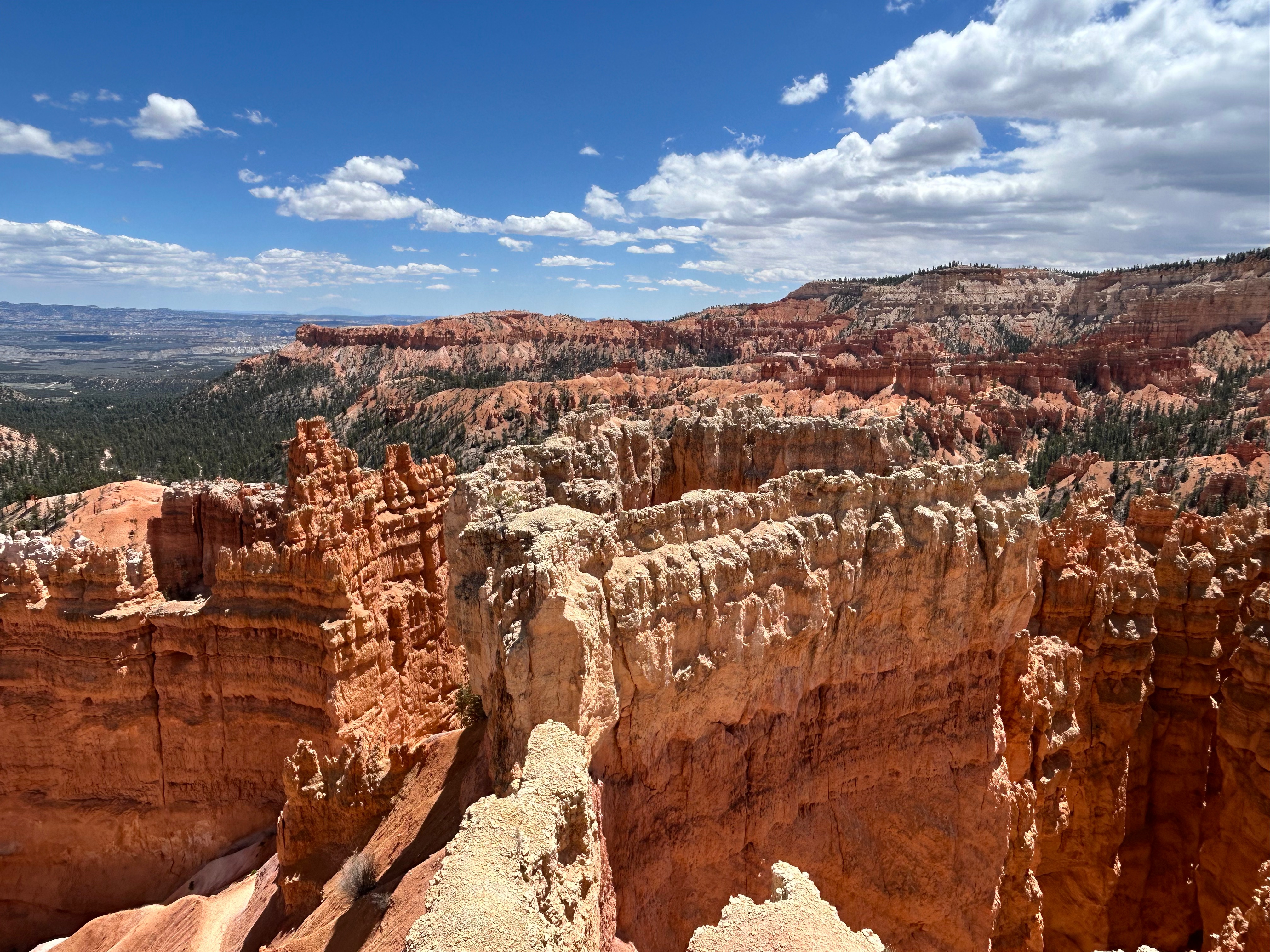
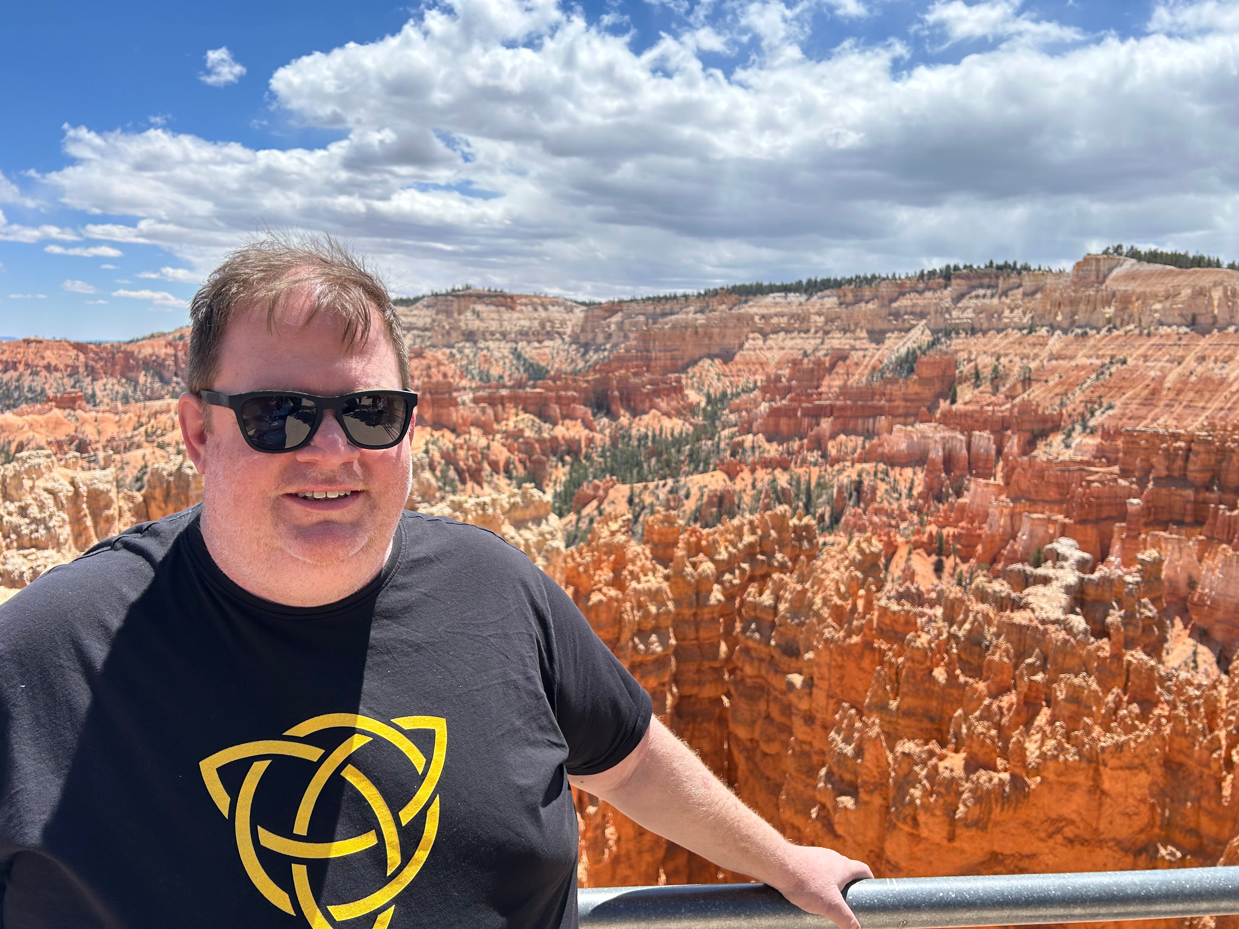
Our next stop was Bryce Canyon National Park. Although only two hours from Capitol Reef, it was a different landscape. There were still the classic canyon views and arches, yet upon a closer look you could see the unique formations in the area–the hoodoos. Bryce has the largest collection of the hoodoos (irregular rock spires) in the world. We traveled the Bryce Amphitheater section of the scenic drive and picniced at Sunset Point. It was nowhere near sunset and we would be nowhere near by at sunset, but considering we love a good sunset, this seemed like the perfect picnic spot for us. We soaked up the sun and just marveled at this spectacular spread of nature’s art. From our vantage point, we could see some of the classic formations: Bryce Point, Inspiration Point, and Thor’s Hammer. We could have stood there all day, as every single hoodoo looked different from the one next to it. It was truly mesmerizing.

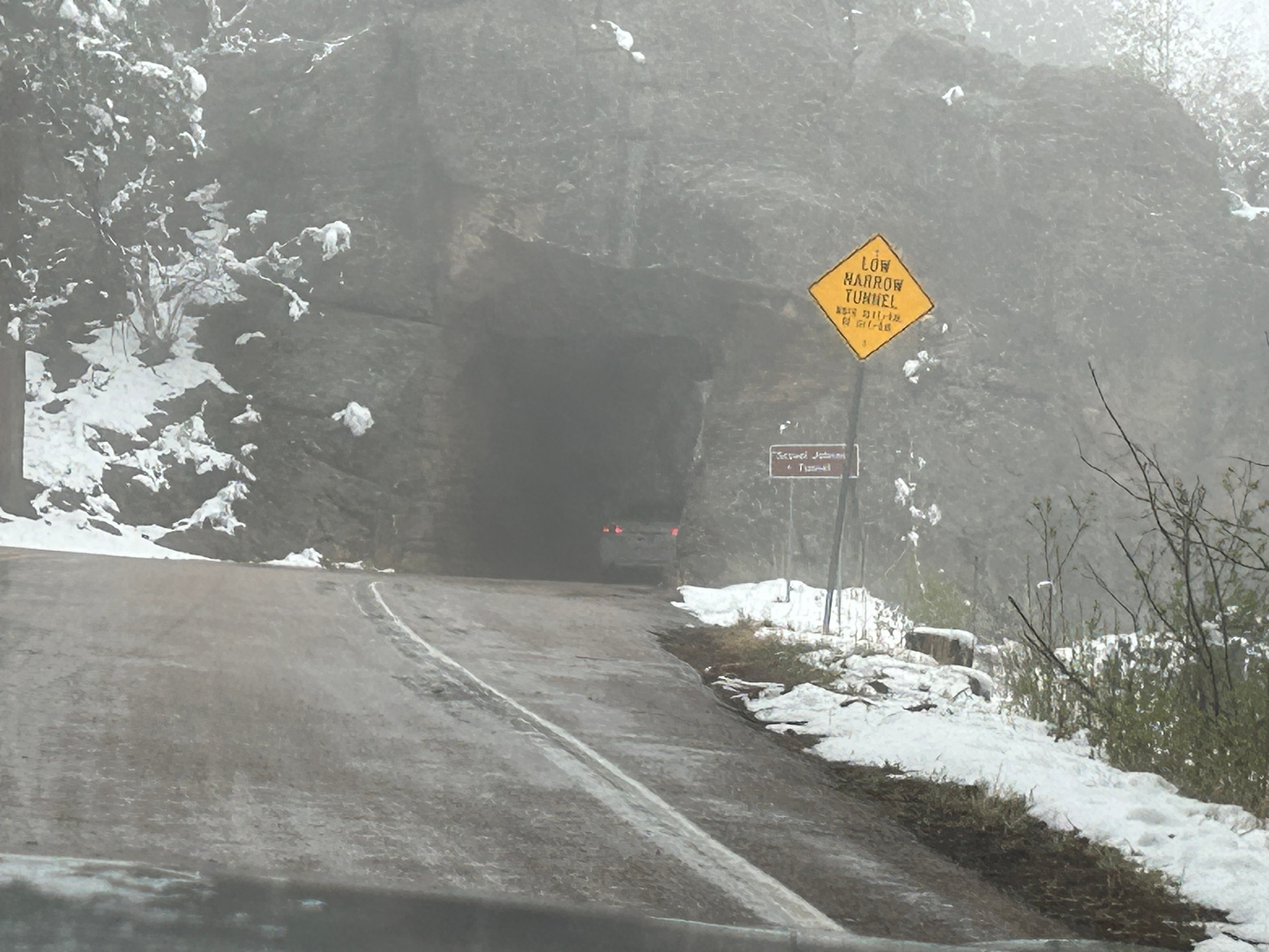
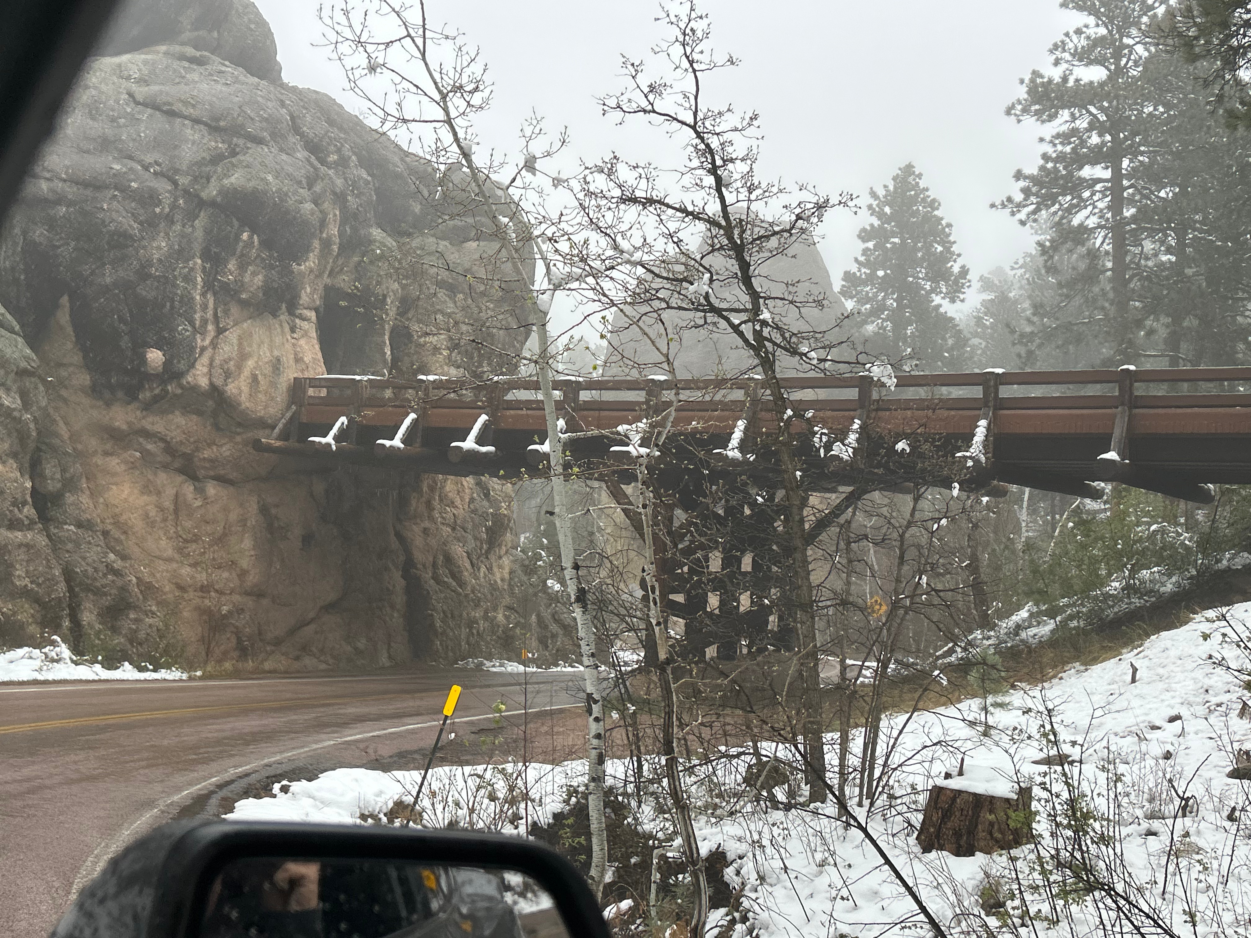
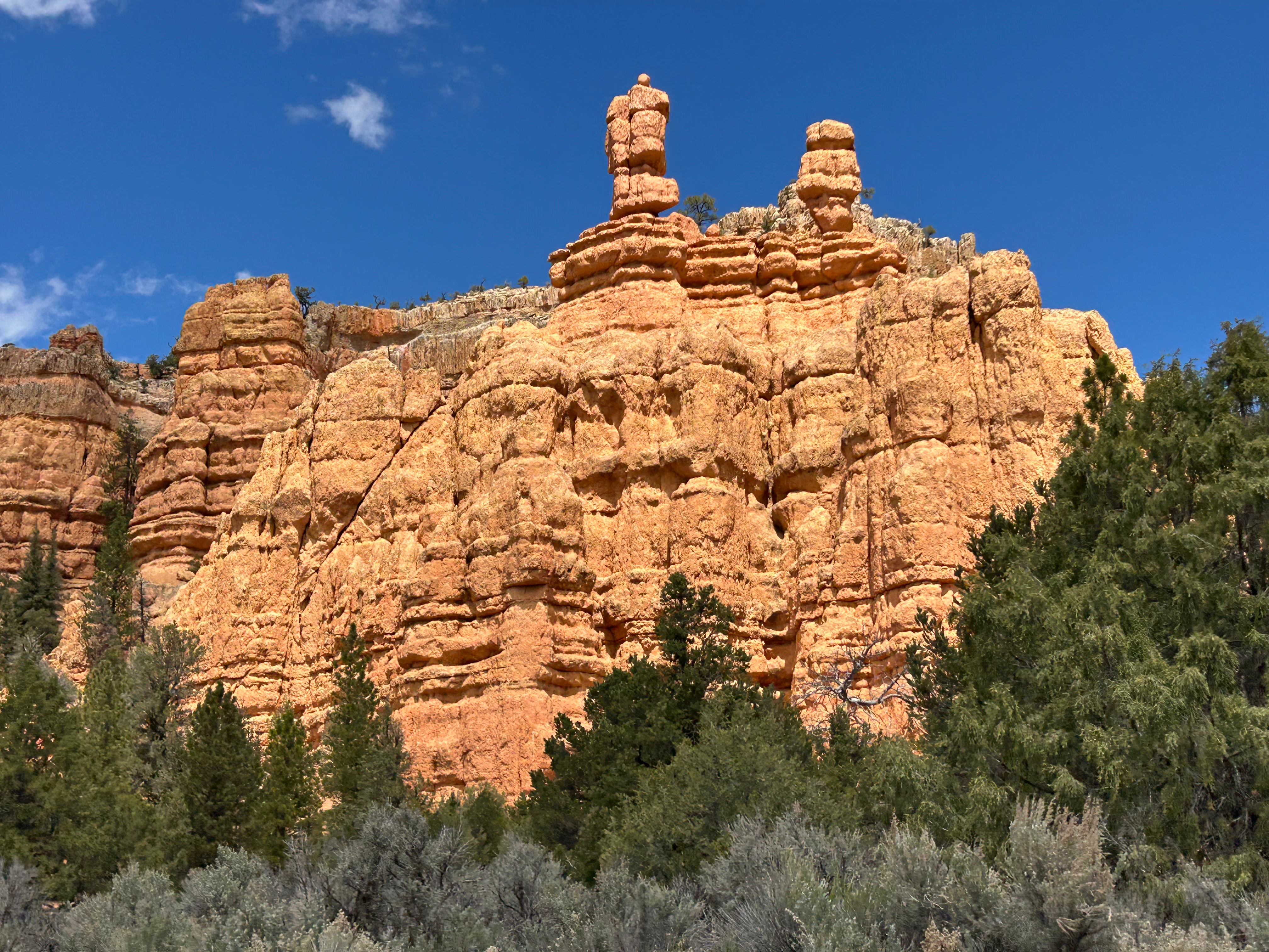
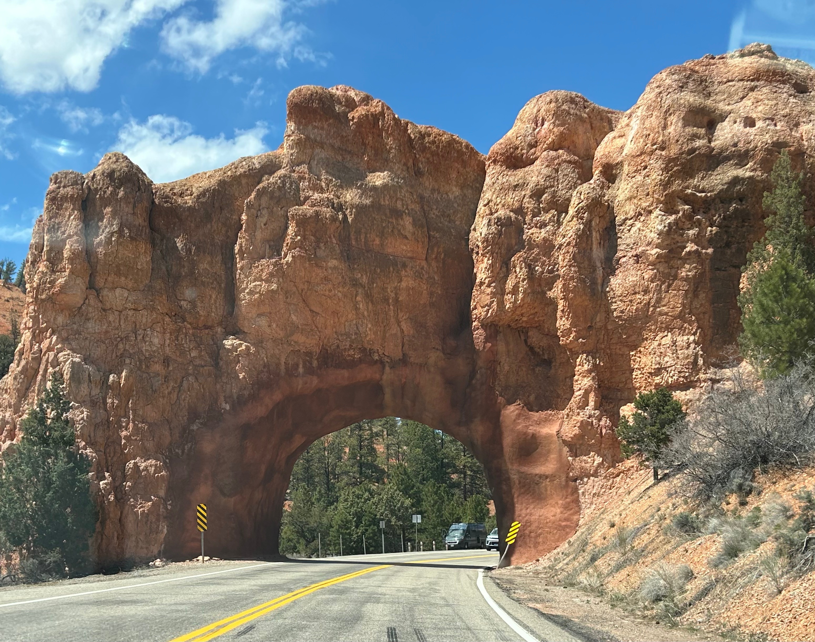
We left Bryce and headed towards Zion. We thought the best drives and the best parks were behind us, but we were wrong. We drove through the Red Canyon out of Bryce, and it was a really cool road with some good curves and several rock tunnels.

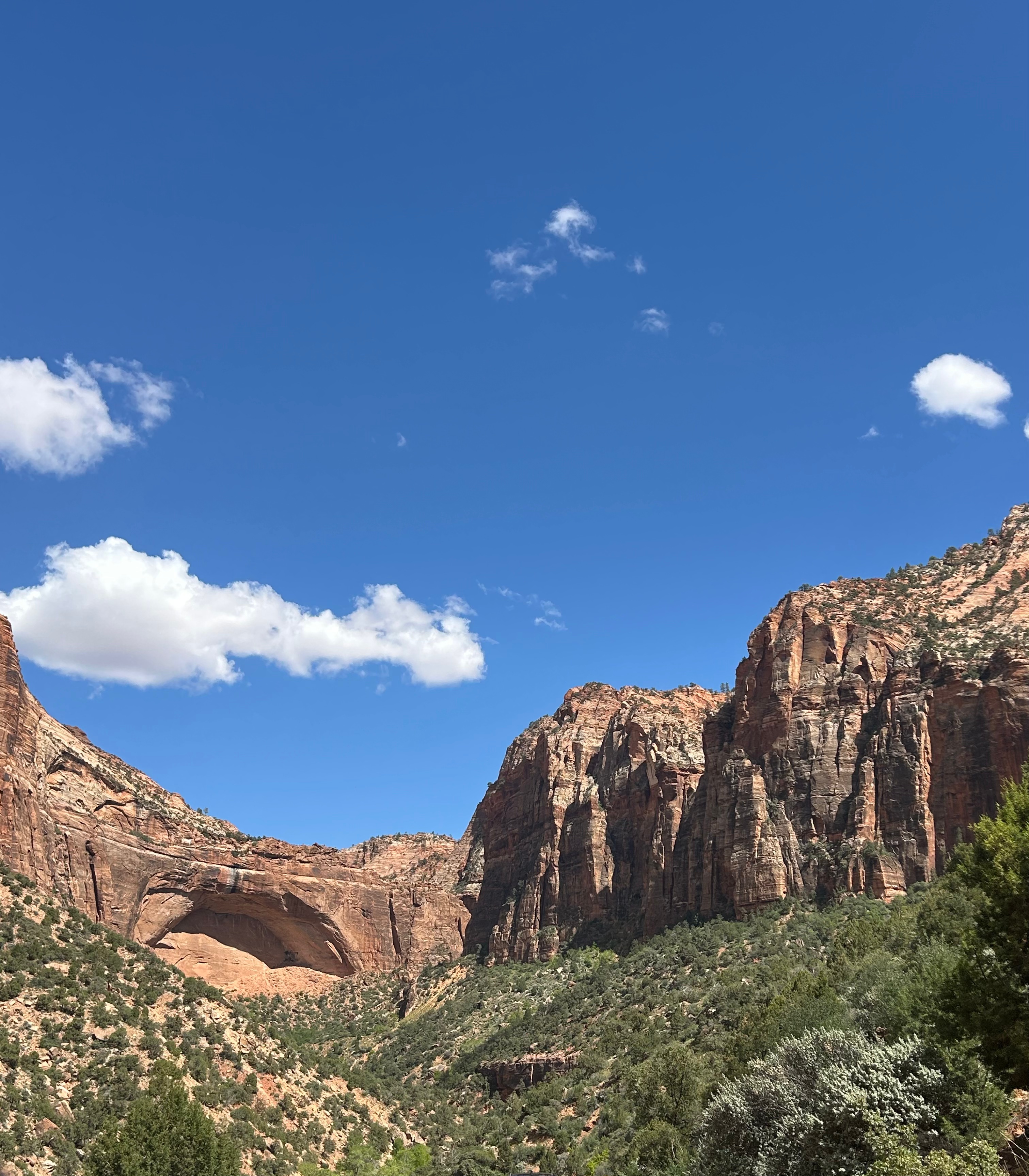
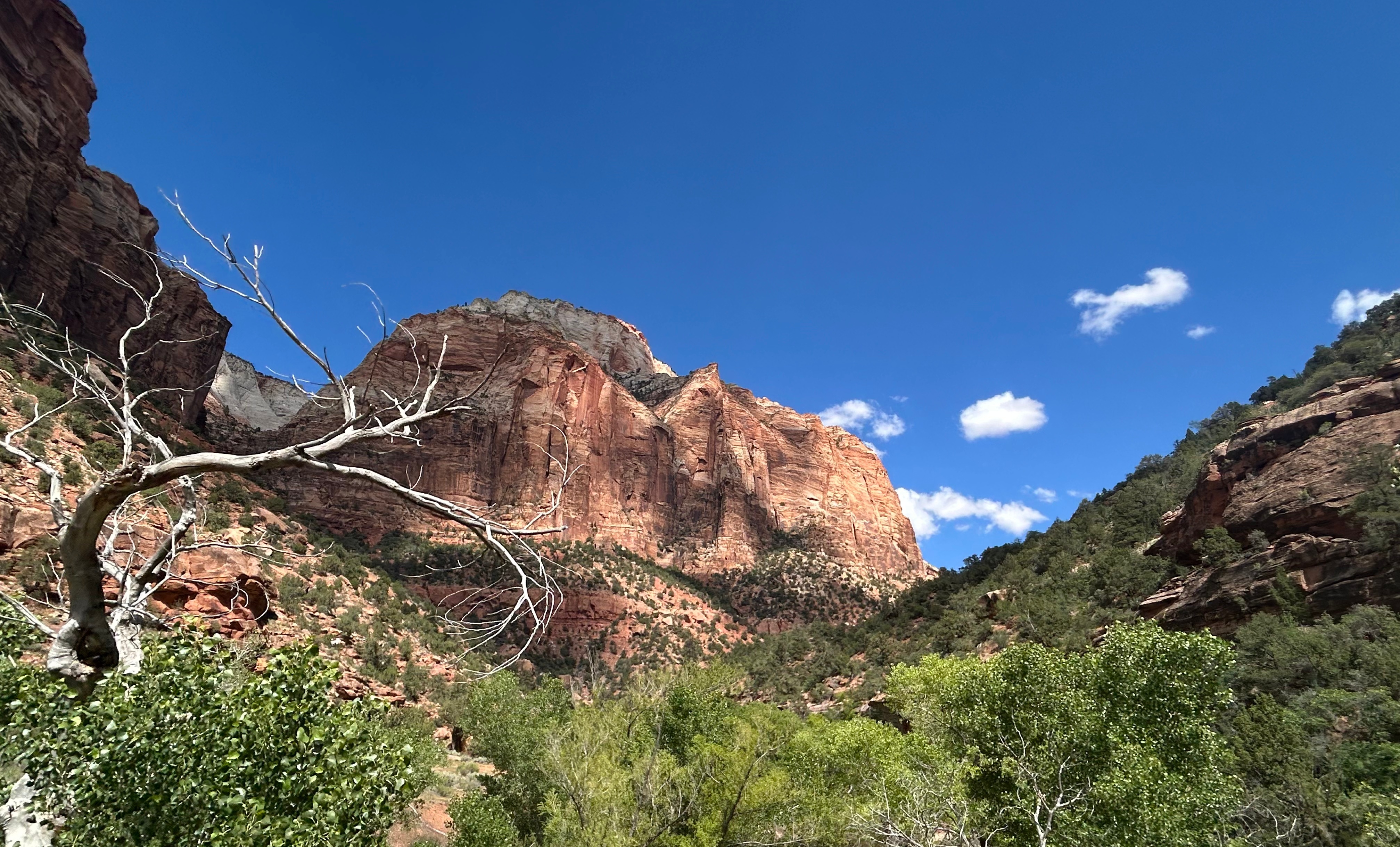
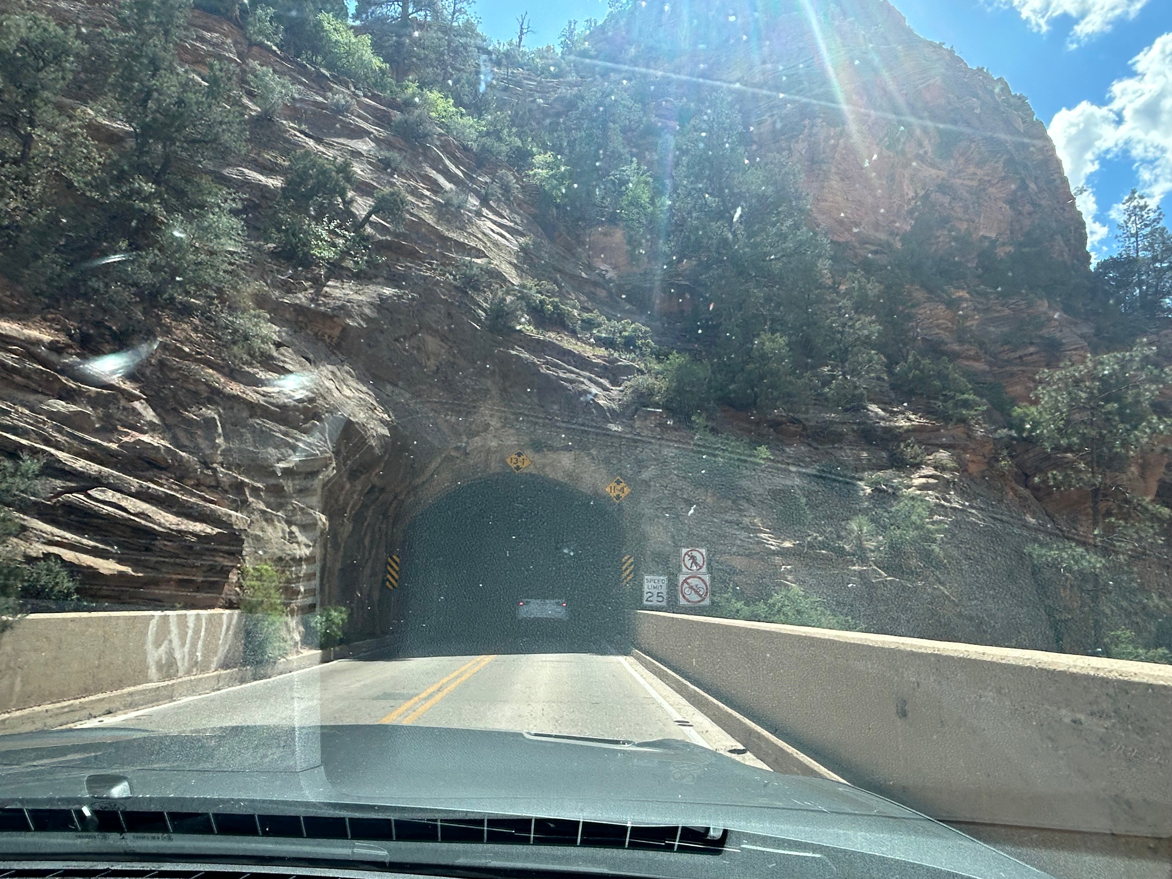
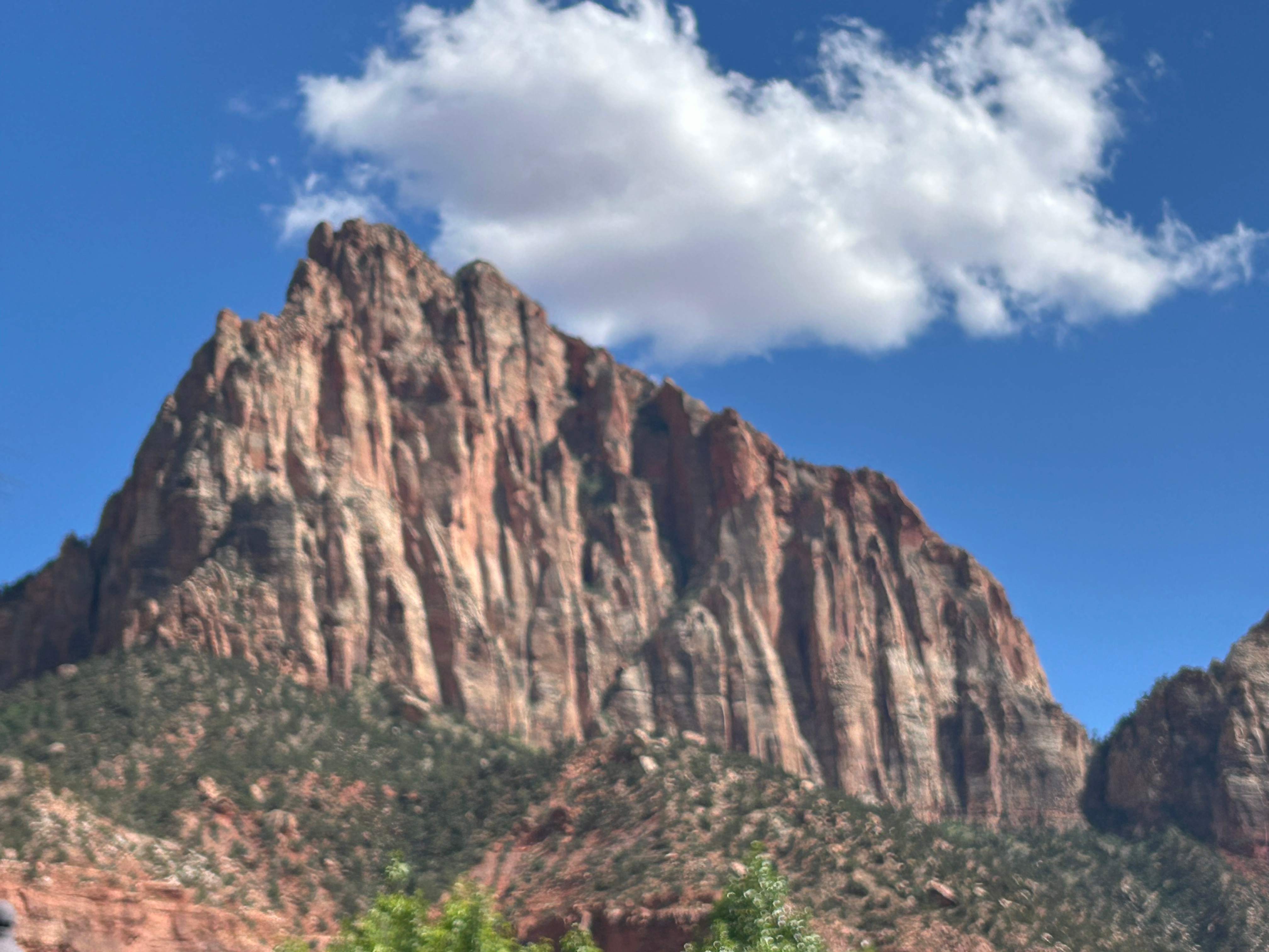
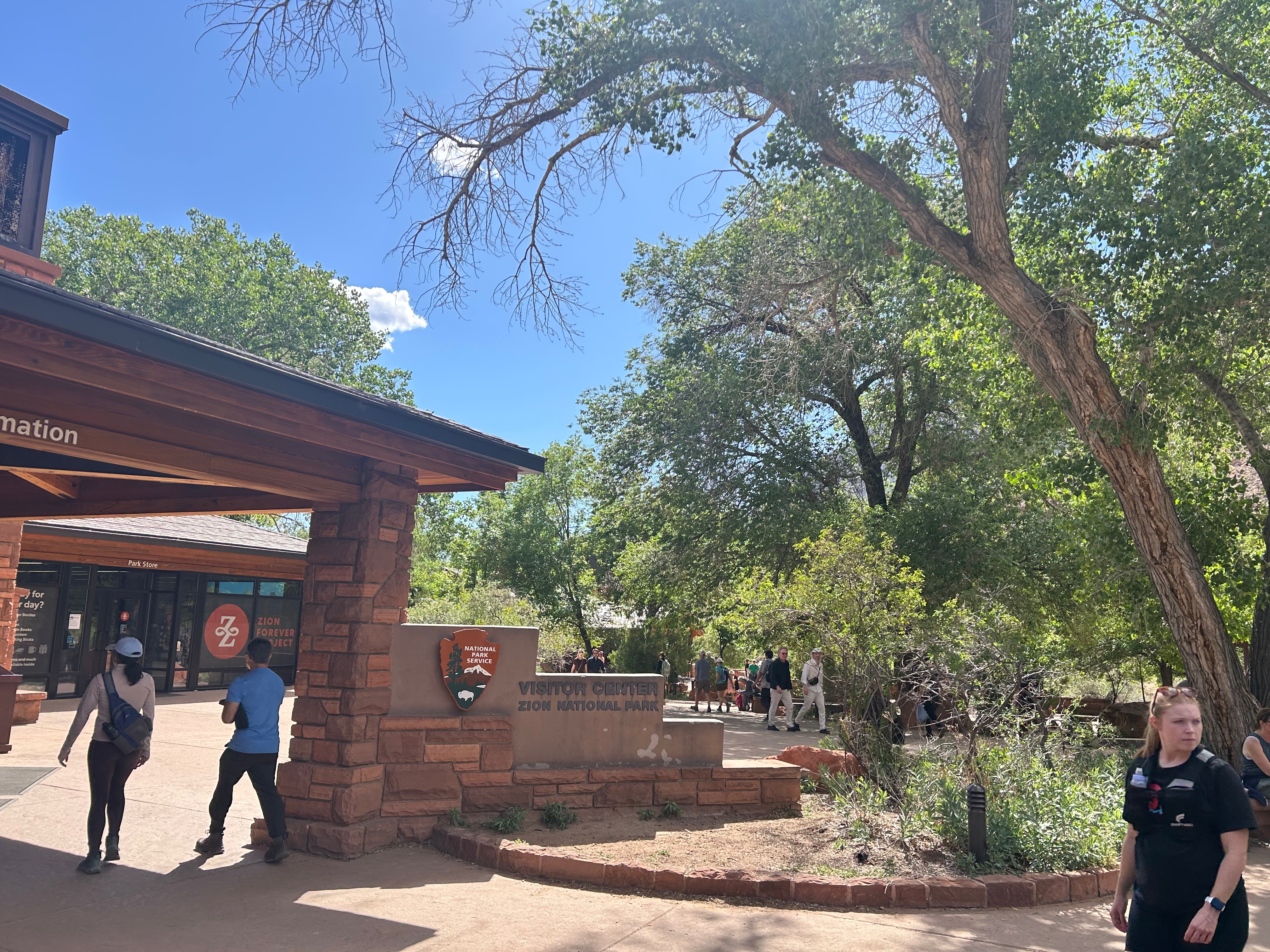
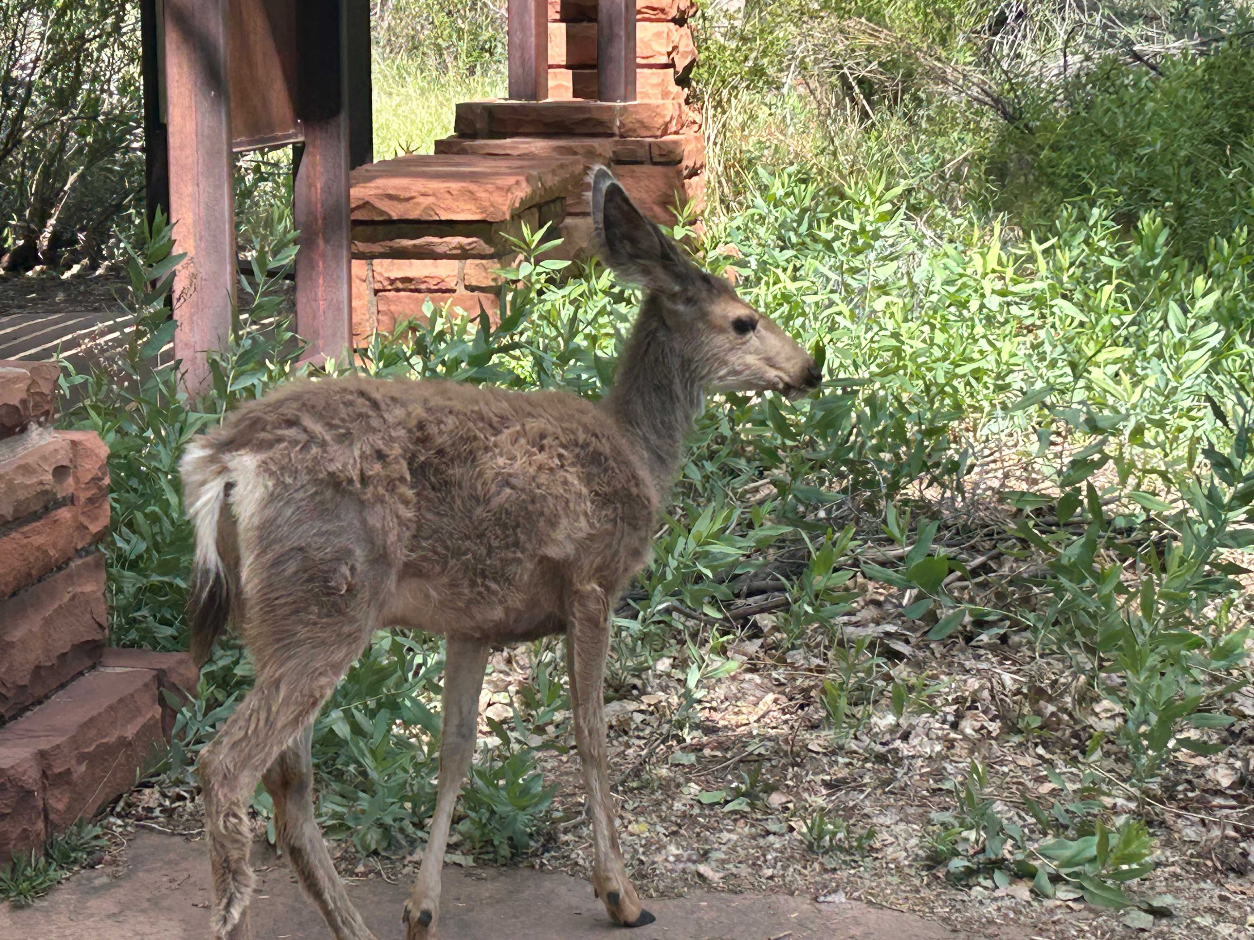
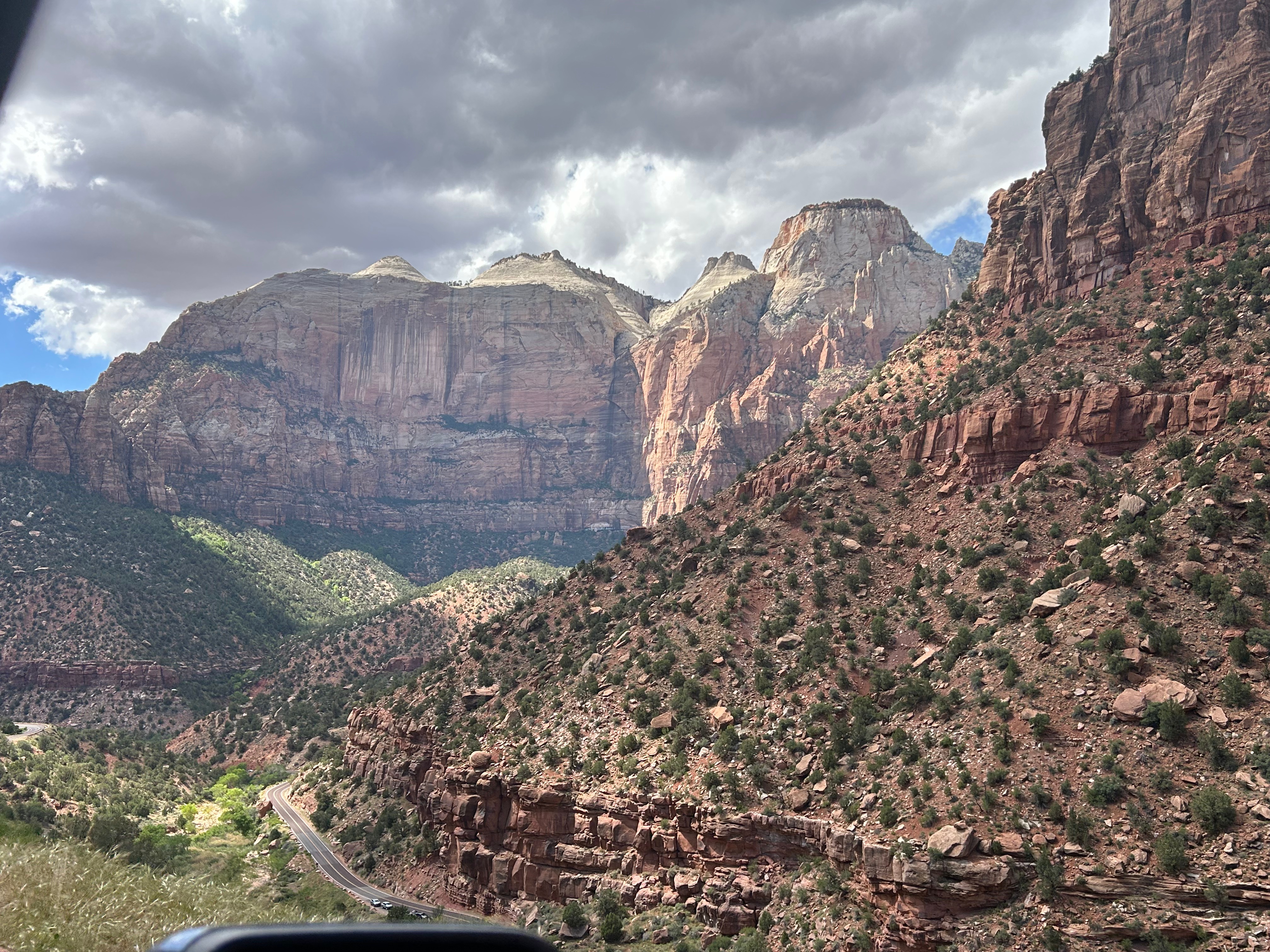
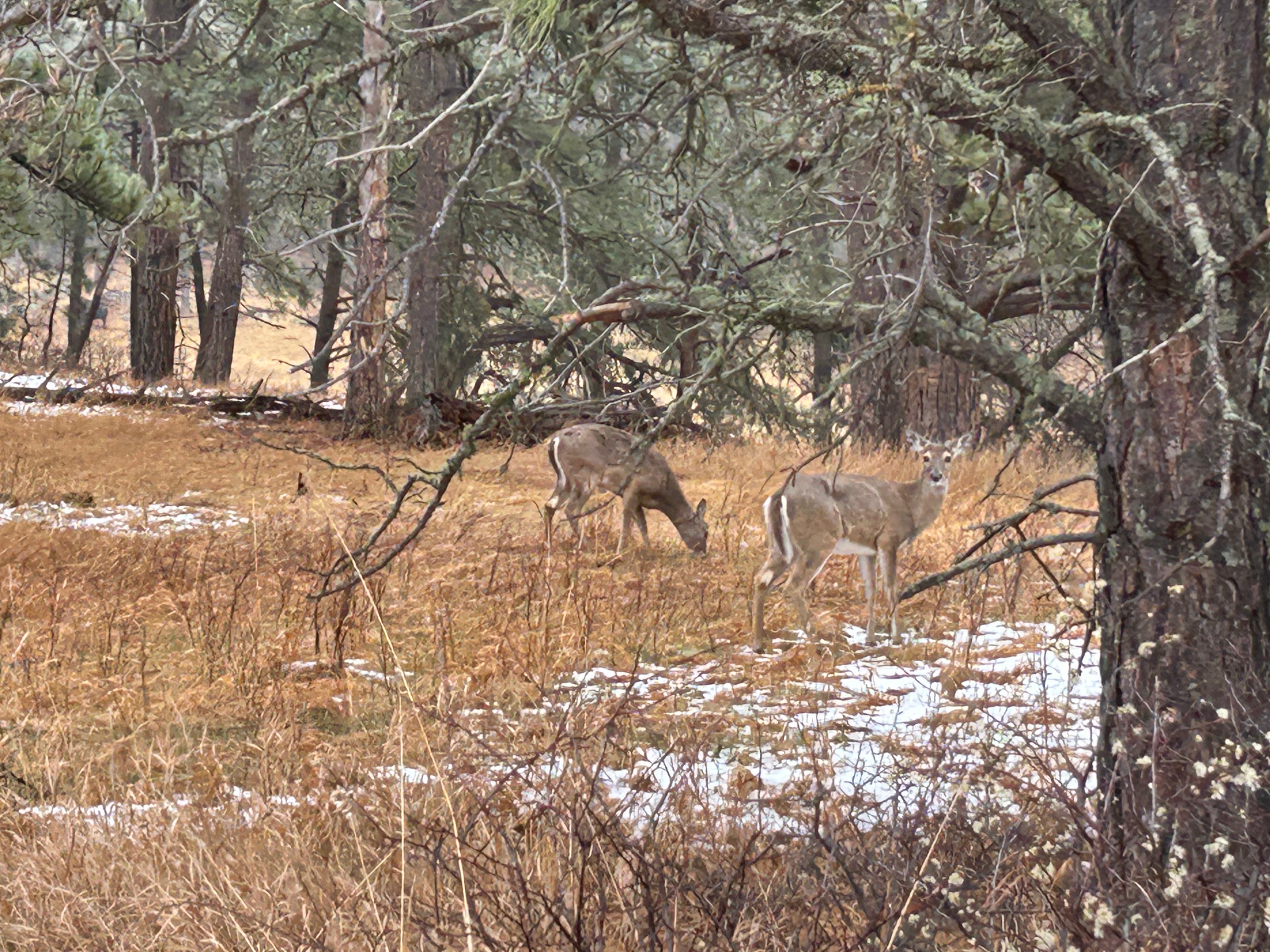
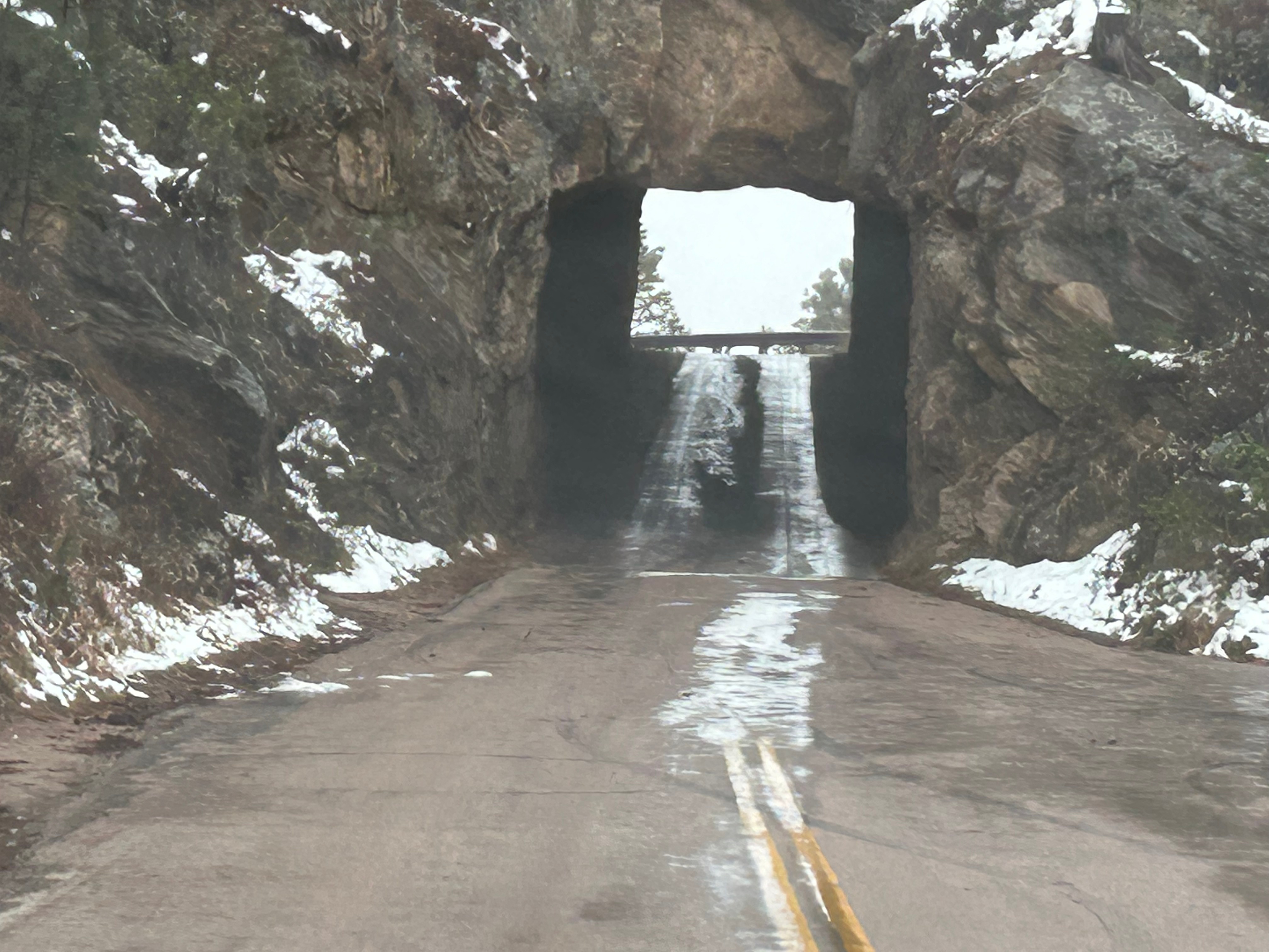
Out of nowhere, we reached Zion National Park and couldn’t believe our eyes. We were in the land of giants. Thom remarked how it was cosmic in scale…reminding you just how small you are. It truly was a jaw-dropping experience. We wound our way through the park with insane views at every corner. Halfway through, we went through one of the longest tunnels in the United States at over a mile long. Every so often, there would be a “tease” of the grandeur awaiting you with gallery-styled “windows” carved into the rock so you could have periodic glimpses of the canyon. Our stop at the visitor center was brief, as this was definitely the most crowded national park I’ve ever been to. It was cool how many of the museum exhibits and signs were actually outside under small tree canopies, but it didn’t eliminate the obvious feeling of crowding. We didn’t linger long, but did get to see a lovely mule deer on the way out. As we saw the last bit of Zion, we just couldn’t get over how exhilarating it was. It was an unreal day to see so many amazing sights…ones that just seemed to get better and better. We’re beyond blessed!

The Wild Adventures of Yellowstone

We woke up in Custer to discover a new layer of snow that had fallen through the night. After I played in the snow (getting it off the car), we ventured out for a longer route than originally planned. It seems that the current blasts of snow had closed the roads leading directly west. Our new route would take us into Wyoming and then up into Montana, leading us into Yellowstone from the north. Despite looking at 9 hours of driving, we needed to make one more stop on the way out of town to Jewel Cave National Monument. We didn’t have time for a cave tour, but enjoyed the exhibits and movie to teach us more about the cave exploration there. Then off we went into the sub-freezing temps and snow flurries.

We left the Black Hills and entered the wide open spaces of Wyoming. We really only cut the corner of the state though, and soon found ourselves in Big Sky Country (Montana). The sun did come out for a little while, ending the occasional flurries and warming up to the low 40s. Travel through the huge state was helped a little bit by the 80 mph speed limit! We crossed the Yellowstone River several times; it taunted us into thinking we were close to our destination than we actually were.

Finally, we re-entered Wyoming from the north and soon we were in Yellowstone National Park. But then we realized we still had over two hours to drive to our lodge in the park. Turns out, Yellowstone is a way bigger than we imagined. It’s about 55 miles wide and 65 miles long and much of the road we traversed was slow going due to windy roads and wildlife wandering across and stopping traffic. We’re all about the journey though, so we settled in to soak up the sights. Right from the start, we were awestruck by the Gallatin range mountains running alongside the road.

As the snow started back up, we came upon the wintery wonder of Gibbon Falls. I temporarily abandoned the warmth of the car to walk in the snow and get a better look at the waterfall. While outside, I made a new friend with a raven. He seemed quite curious about me…maybe wondering why I was outside or maybe wondering if I had snacks to share. (Not to worry…I know better. A fed animal is a dead animal.)

As the snow got heavier, we tooled alongside multiple rivers and frosty lakes. Finally, the snow eased up and the sun came out for awhile…glistening on the snowy fields and highlighting the steam plumes from fumaroles (steam vents) and geysers in the distance in every direction.

We stopped again in the Lower Geyser Basin after hearing a geyser before we even saw it. A short walk brought us to a spot featuring all of the cool Yellowstone thermal delights: a hot spring, geyser, and mud pits. Standing there watching the earth boil and bubble and spew, I was speechless. Thom noted it was so primordial. It definitely felt like we were in some other world. And the screams of escaping gases was unexpected and just a touch hair-raising. Then I saw something extra hair-raising: a freshly scratched up tree right next to us. We didn’t stick around to see if there was a grizzly nearby…I never want that adventure.

Back on the road, we rounded a corner and had to promptly stop for a herd of bison. They eventually marched past us, with Thom rolling his window up before a fluffy cow decided to come for him.

Our next stop was the Midway Geyser Basin. There was a really cool boardwalk that went up and around multiple geysers. It was super cold (in the 20s) and very windy, but cool to see Excelsior Geyser Crater, Grand Prismatic Spring, and the expanse of thermal ground. Unfortunately, Grand Prismatic wasn’t as colorful as expected. Turns out that cold and clouds affect the view. Still really beautiful though!

We finally checked into the Old Faithful Snow Lodge for the evening. It was a well-appointed, rustic lodge, and a cozy stop for the night. We got a nice little bit of sunset as we were checking in. After dinner, we hoped to enjoy the dark skies and maybe even see Old Faithful lit by the moon. Unfortunately, the snow flurries were back and the clouds were thick.

Up early the next morning, we checked out and got the estimated time of Old Faithful’s next eruption. While these eruptions are fairly predictable, there’s still some variations and, apparently, the first one in the morning is a little unknown. The lodge told us it would probably go off about 8am, so we bundled up and grabbed the breakfast-of-champions (PopTarts) to go watch Old Faithful. Besides the uncertain timing, the other complication was the fact that it was 25 degrees outside with some noticeable wind and the sun hiding behind the clouds here and there. We stood for awhile but eventually sat on the frozen benches. Some fitness fanatics jogged by and told everyone it would be 8:45 (as they were outside and saw the last one go off at 7:15…it goes off about every 90 minutes, give or take 10 minutes “or so”). Once the cold settled in our bones, we actually enjoyed the peacefulness of the setting–birds singing in the distance and the occasional hisses and burbles from the geysers in the area. It was really interesting to see some of the water runoff actually frozen even on the hot thermal bed. Finally, at 9:05am, the geyser shot up, then up some more, then up even more. It was pretty spectacular, despite the wind blowing it a lot. What a wild world we live in!

The Badlands & The Black Hills

We awoke to a cold and gray day in Nebraska. The weather forecast at breakfast emphasized several rounds of snow moving through the region throughout the day. We bundled up and headed north. The view was initially a flat, river valley. Nebraska had way more rivers and creeks than I would’ve imagined.

Soon, the landscape changed to rolling, sandy hills. Thom pointed out that it almost looked like dunes in a desert except for the grasses growing on the hills. Turns out, we were in an area of Nebraska known as the Sandhills Region. Apparently this area covers nearly a quarter of Nebraska and is the largest grass-stabilized sand dune field in North America. As is often the case, this picture doesn’t really do it justice, and the weather made pictures a little more challenging.

It was detour time when we saw a sign for a “scenic overlook”. It took us on a small backroad loop and, best we could tell, the scenic overlook was the bridge over the comically-named Dismal Creek.

Other oddities along the last bit of Nebraska featured tractors tooling lazily down the highway (easy enough to get around since there were very few people on the road). We also had a good laugh over the “Watch for Cross Winds” signs. We saw these the night prior as well, spurring conversation about how you can’t watch/see wind. The warning was duly noted regardless.

As we moved on from Nebraska to South Dakota, the landscape started including more shrubs and trees that were dark, almost dead looking. Turns out these were Black Hills Spruces and Ponderosa Pines. We drove through small towns and tribal lands, enjoying art on some of the local buildings.

Then, somehow out of nowhere, the landscape changed, and we were in the Badlands. After the obligatory visitor center stop, we took the loop road through the park. It was cold and windy with low clouds, so we didn’t visit any of the overlooks. I’ll bet this place is even more stunning on a clear day where you can see across the vast vistas. It was still such an amazing place, with color and formation changes around every turn. The buttes, peaks, and gullies were all interspersed with the surrounding prairies. Even without the sun shining on the formations, you could see more colors than you could count. Despite the weather, we got to see some bison grazing along the roadside. We also saw the mounds where prairie dogs and black-footed ferrets live, but they seemed to be hiding from the weather.

As we departed the Badlands, it just happened to be lunchtime, and we just happened to be near Wall Drug. So off we went to check out another tourist trap. The whole town of Wall leaned heavily on the draw of Wall Drug and the place was surrounded by every possible shop you could imagine. We didn’t pan for gold or go gem mining or even buy boots. We did have a delicious lunch and amazing cherry pie. Of course, I also had to enjoy some free ice water. If you know, you know. ;)

It looked like we had burned just enough time to venture towards the Black Hills National Forest after the morning’s snow. The Iron Mountain Road in the Black Hills is what brought us to South Dakota to begin with. Thom was eager to drive this road, and I was eager to see the views. We’d watched some YouTube videos of others driving this road, and the tunnels seemed cool–especially the one where you can see Mount Rushmore through the tunnel. The roads were still wet from the morning snow but, as with every road we’d encountered, it seemed like all roads were treated well and frequently. So off we (cautiously went).

The Iron Mountain Road is a 17-mile stretch featuring 314 curves, 14 switchbacks, 3 pigtails, and 3 tunnels. Oh, and there are countless animals…some of which could be standing in the road when you round a corner. We saw so many animals, many of which we captured pictures of: bison, deer, turkeys, vultures, and antelope. Sadly, we didn’t see any of the big horn sheep. And if all of this wasn’t challenge enough, we were making an elevation gain of about 1000 feet…putting us squarely into areas of deep snow and dropping temperatures. Thom took it really easy and we just enjoyed the ride.

As you may have noticed from the pictures, there was no iconic Mount Rushmore view through a tunnel. There were just too many clouds. No problem, we were going to see Mount Rushmore up close after driving this road. Well, fun fact, you apparently don’t get all that close to Mount Rushmore, as we found out after paying $10 (since it’s not included in the National Park Pass, for some reason). We navigated the massive parking system, walked up through snow and slush, and were sorely disappointed at the wall of dense clouds. Ah well, we got a picture of the monument off the drink machines and I got to make a snowball, so all was not lost.

Next up was the second road we wanted to experience…Needles Highway. This 14-mile scenic drive is known for 1000 foot granite spires, tight hairpin turns, and an even narrower tunnel than on the Iron Mountain Road. We started on this road despite the heavy snow around us because the roads looked similar to the prior roads (wet but not slick). We went past a beautiful wintry lake, through the Needles Eye tunnel (9’8″ tall by 8’9″ wide), and drove past jaw-dropping rock formations. As we went up, the temps dropped and it started lightly snowing. Thom was pondering turning back when we passed a sign that said “No Winter Maintenance–Travel at Your own Risk”. That pretty much settled it, and by the time we could find a pull-off (to turn around in), the roads were noticeably slick. Seemed like it was time to go check into the hotel and watch the snow fall from a safe, warm spot.