The Badlands & The Black Hills

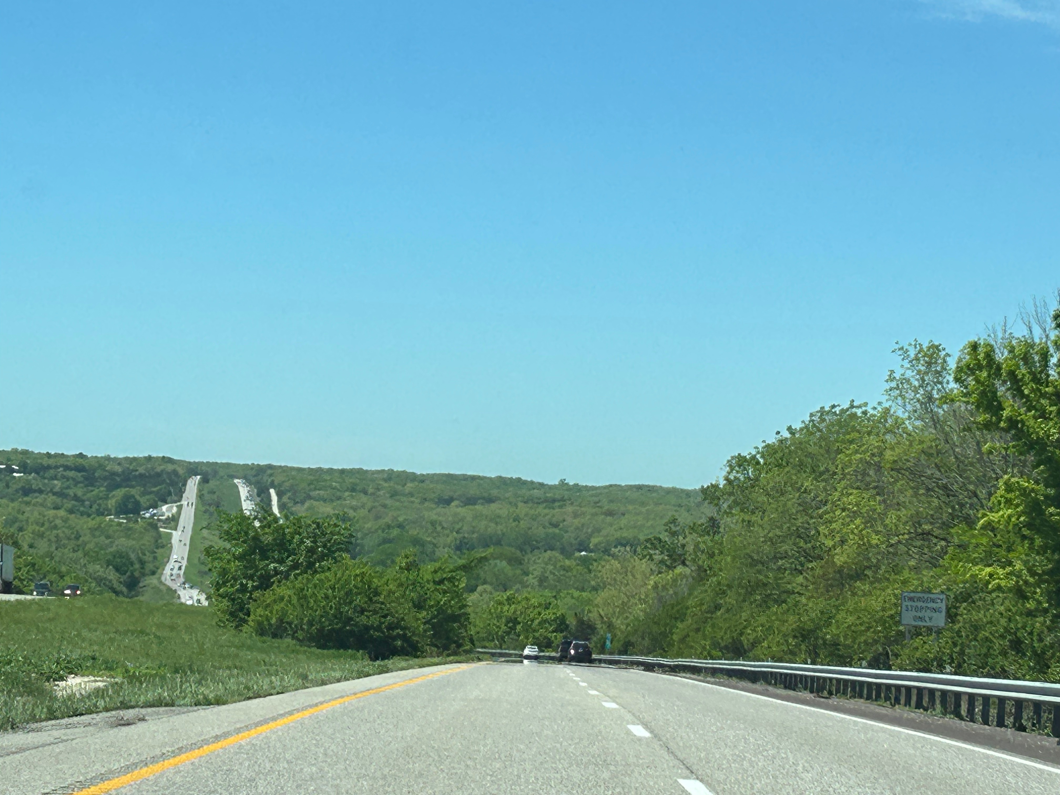
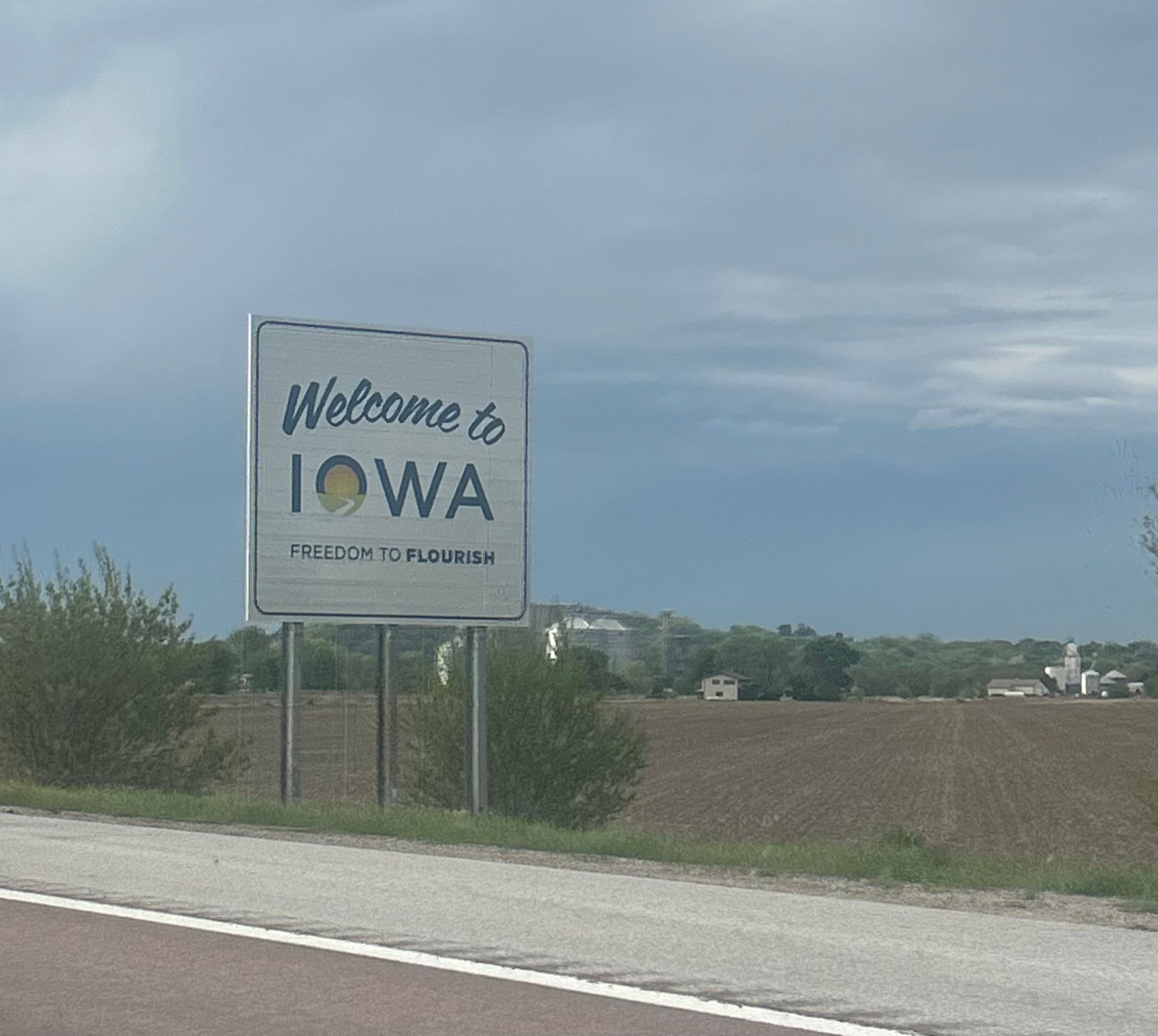
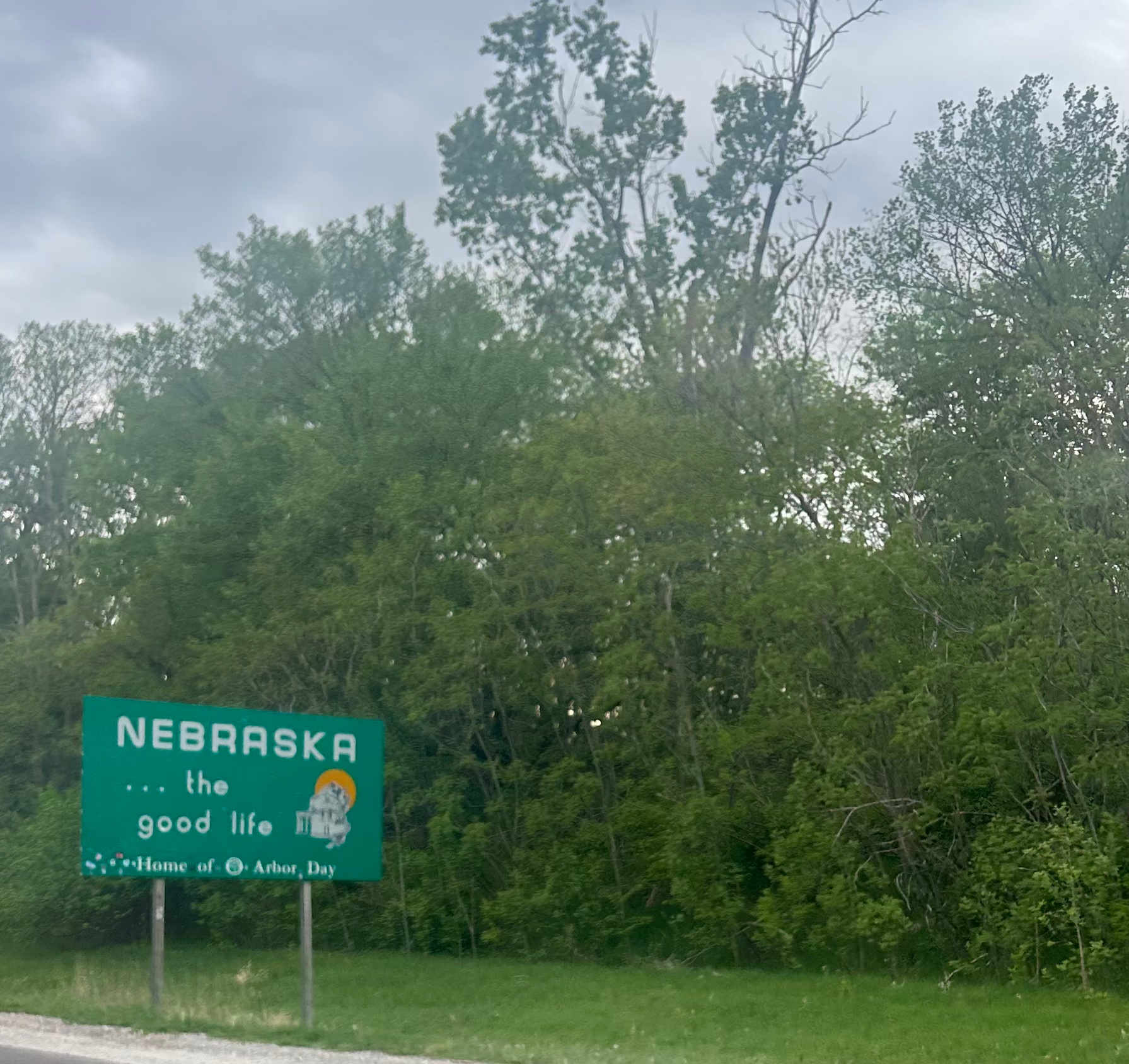
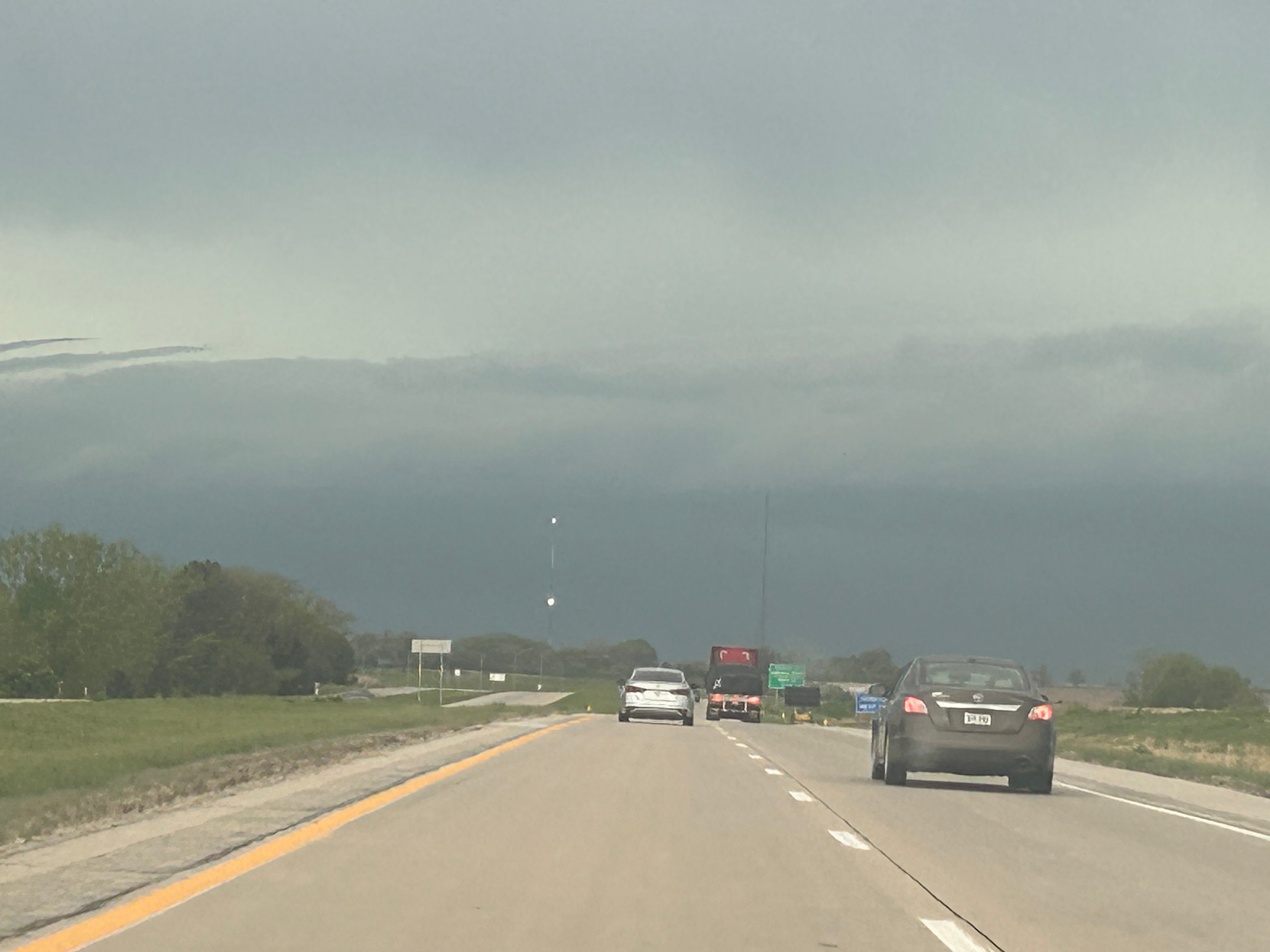
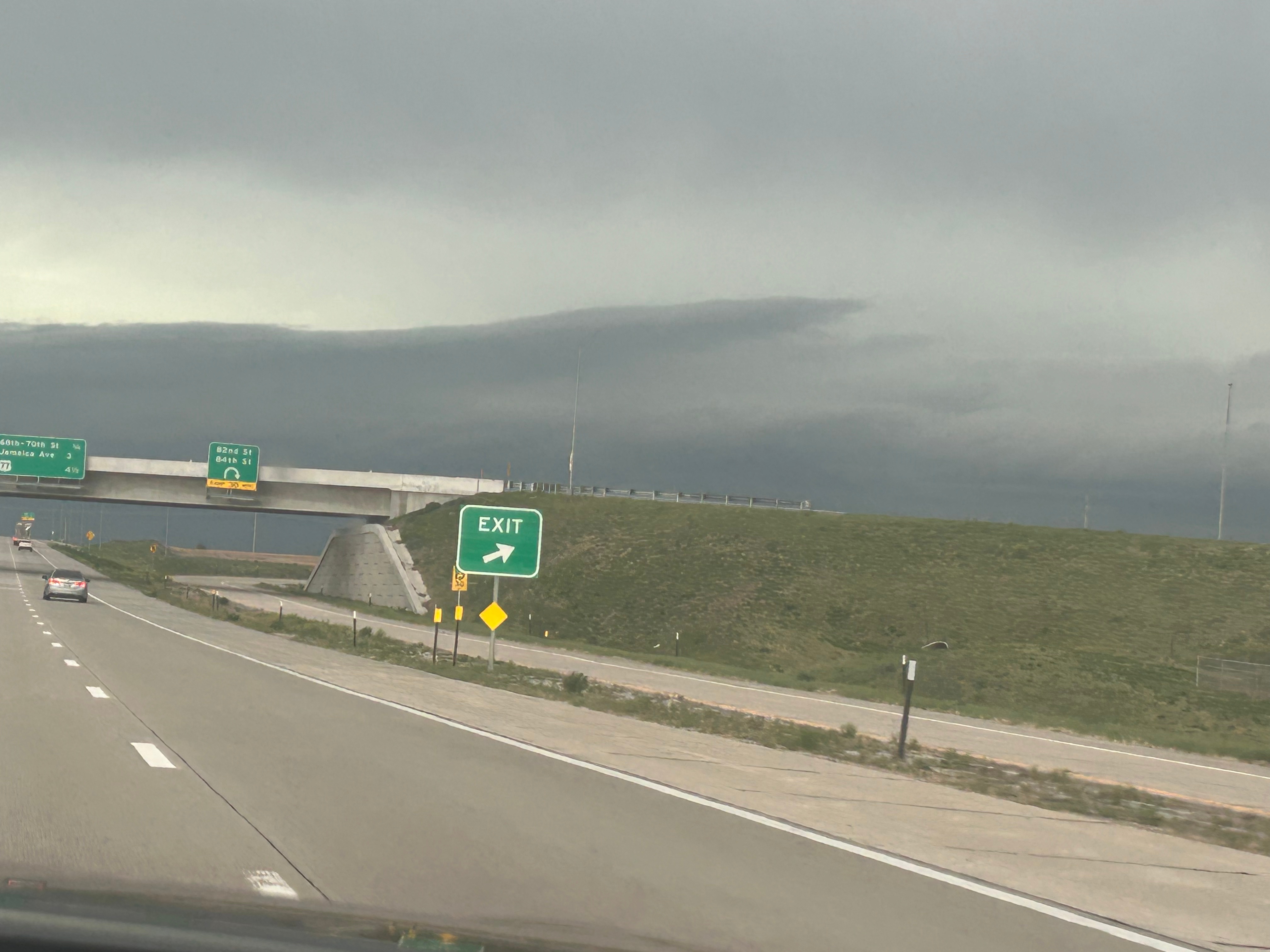
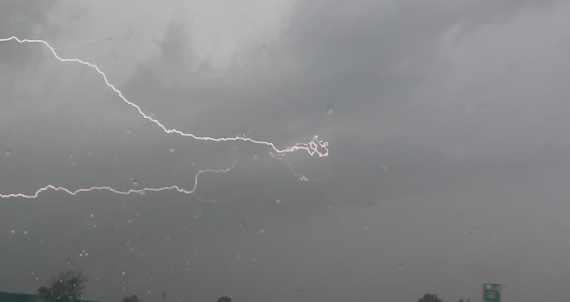
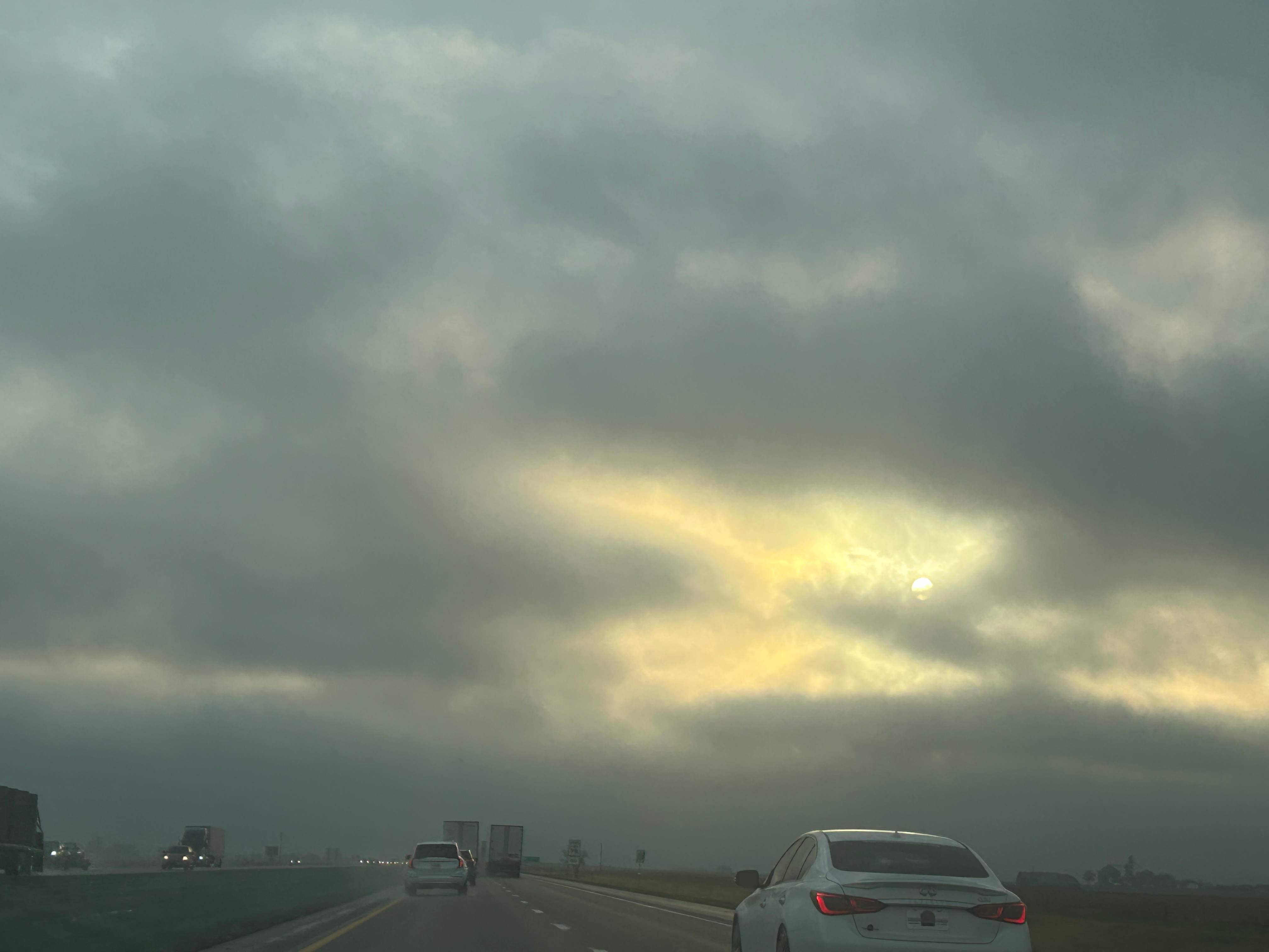
We awoke to a cold and gray day in Nebraska. The weather forecast at breakfast emphasized several rounds of snow moving through the region throughout the day. We bundled up and headed north. The view was initially a flat, river valley. Nebraska had way more rivers and creeks than I would’ve imagined.

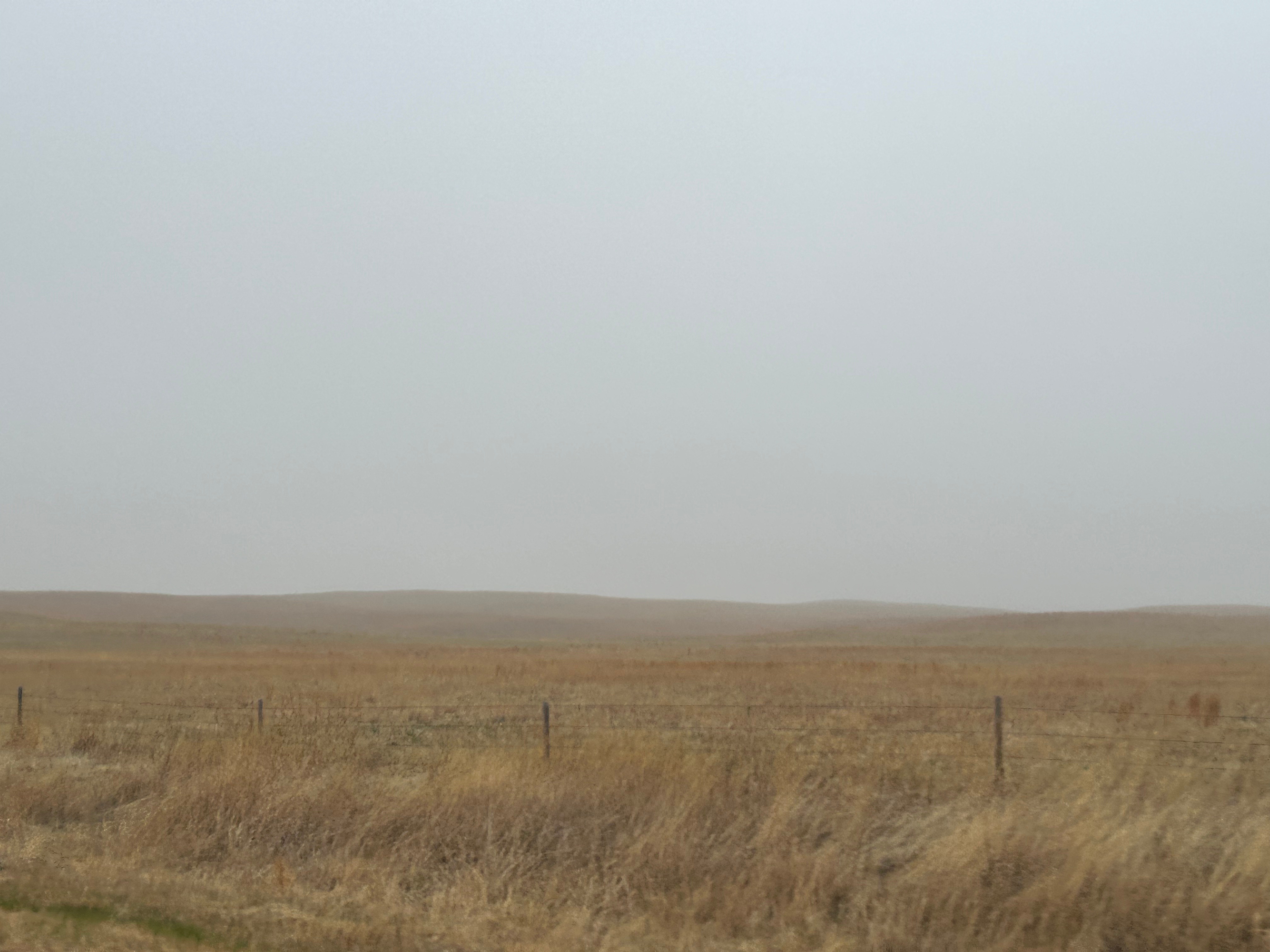
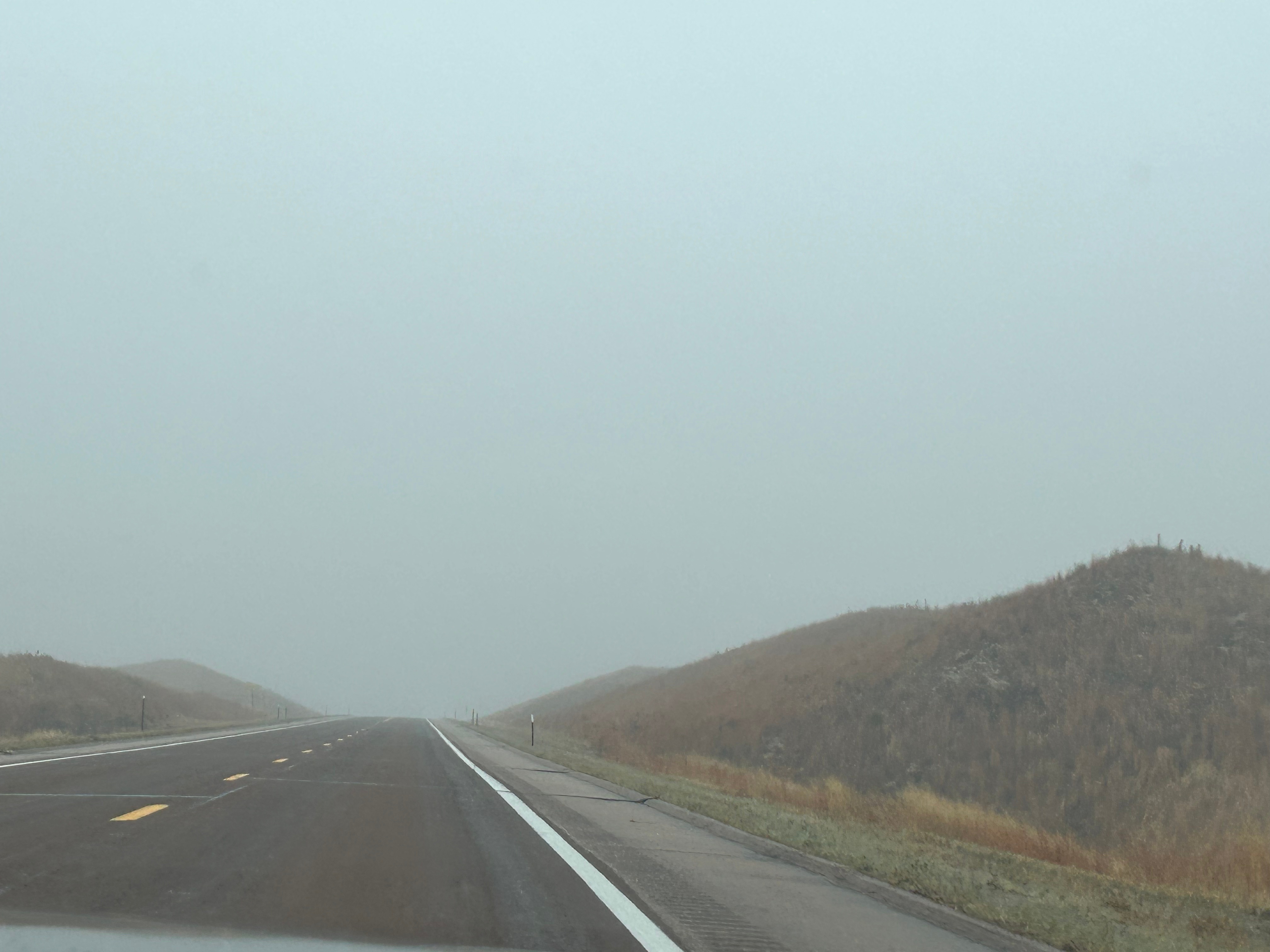
Soon, the landscape changed to rolling, sandy hills. Thom pointed out that it almost looked like dunes in a desert except for the grasses growing on the hills. Turns out, we were in an area of Nebraska known as the Sandhills Region. Apparently this area covers nearly a quarter of Nebraska and is the largest grass-stabilized sand dune field in North America. As is often the case, this picture doesn’t really do it justice, and the weather made pictures a little more challenging.

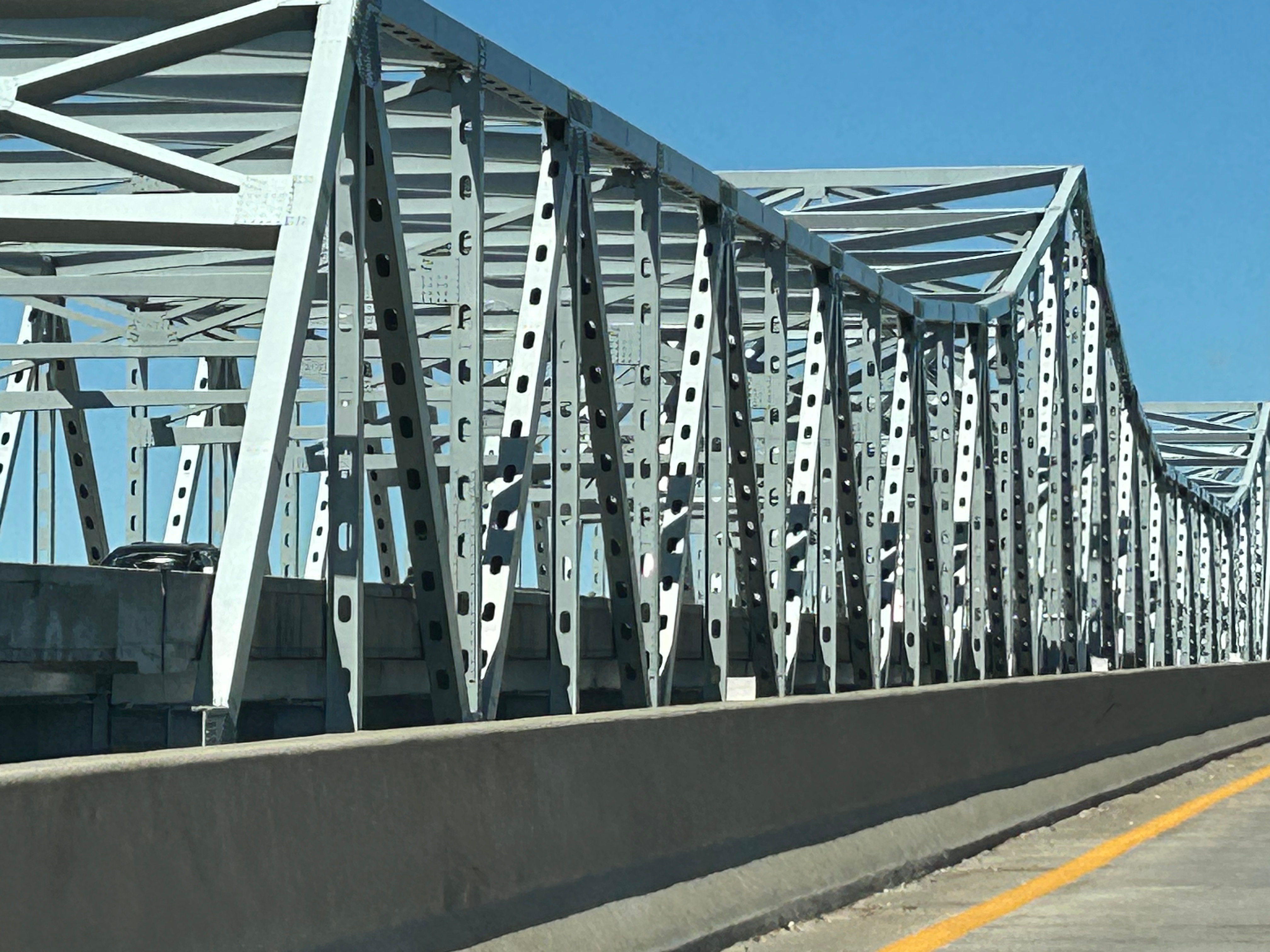
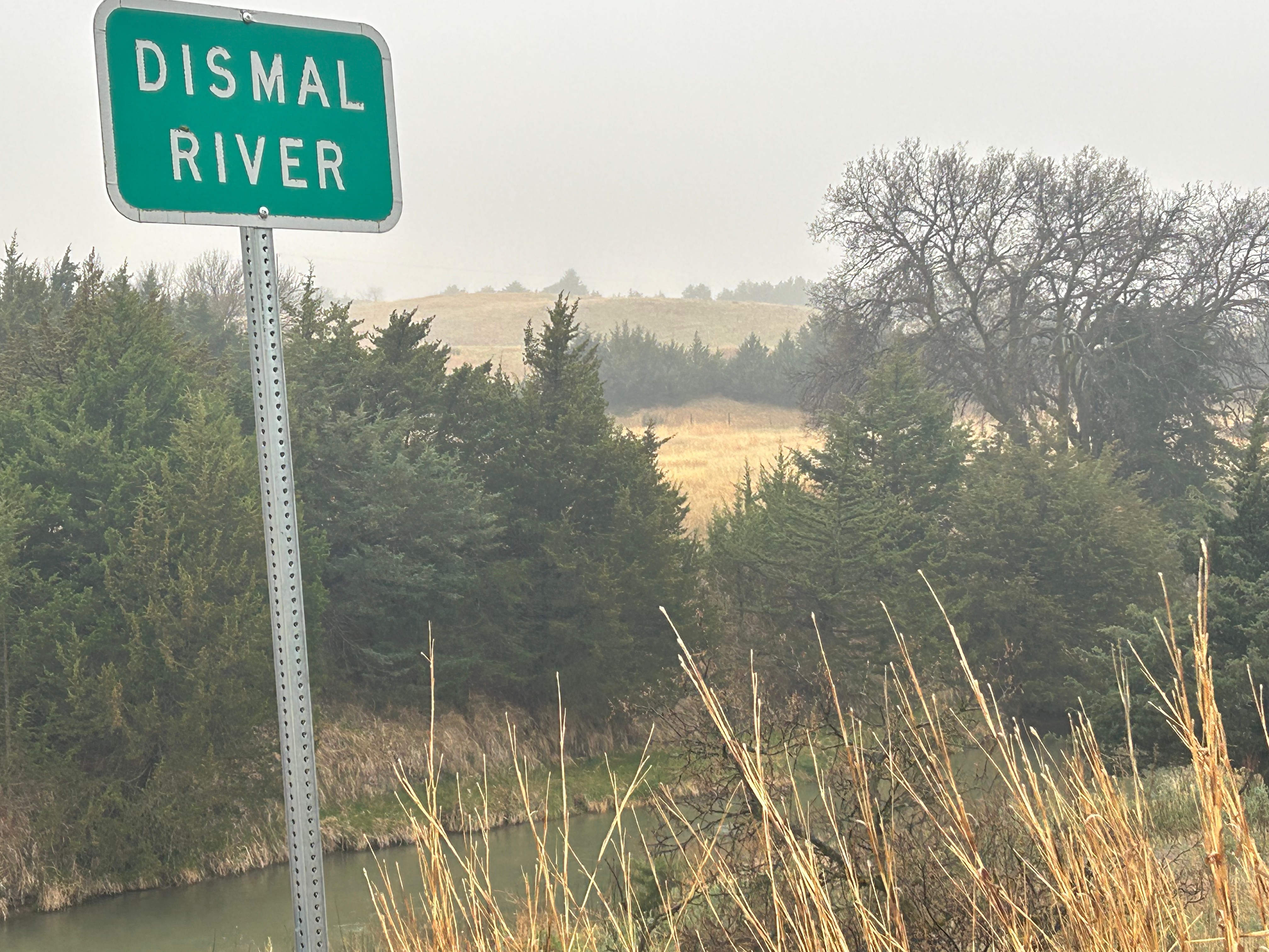
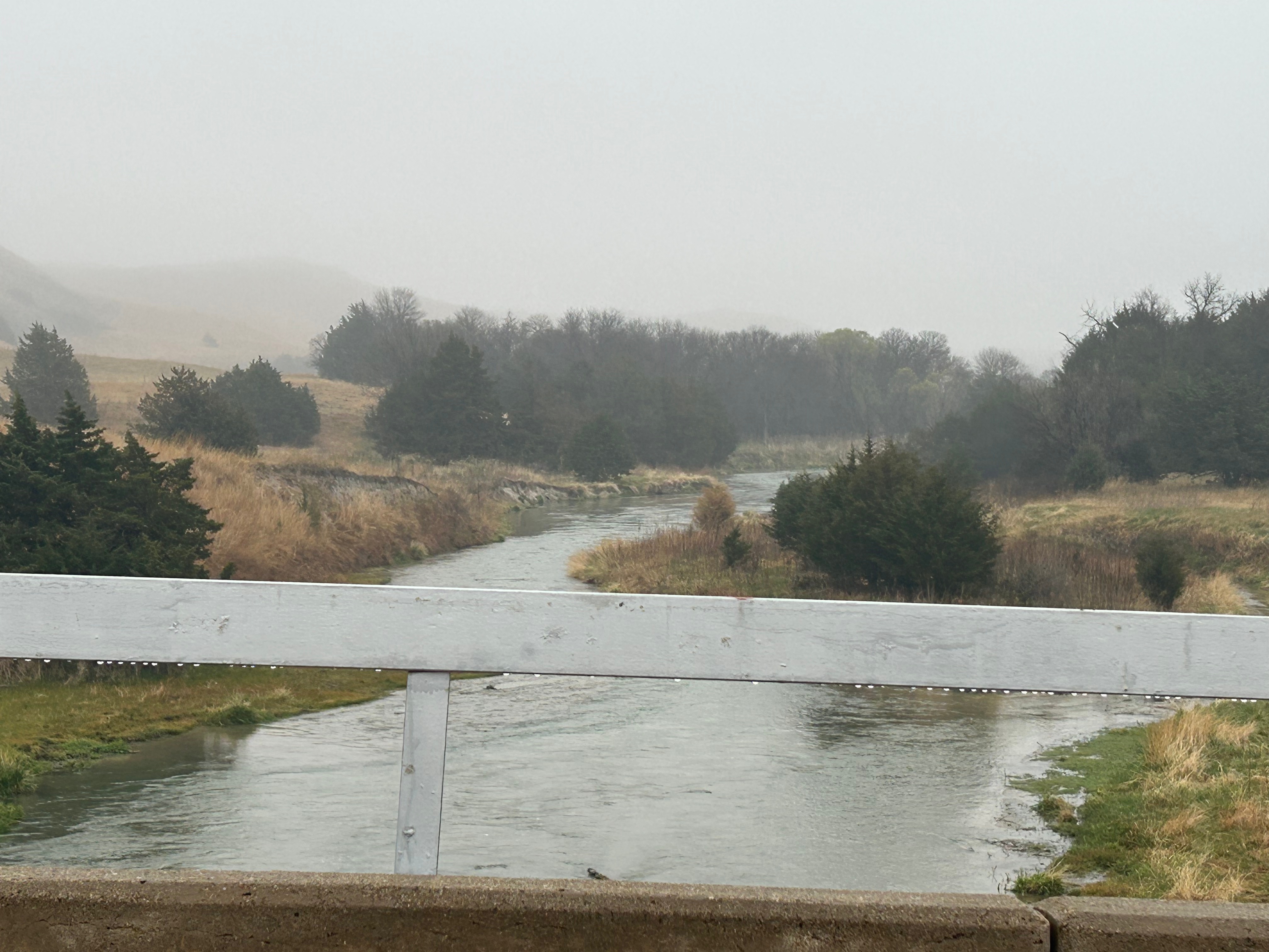
It was detour time when we saw a sign for a “scenic overlook”. It took us on a small backroad loop and, best we could tell, the scenic overlook was the bridge over the comically-named Dismal Creek.

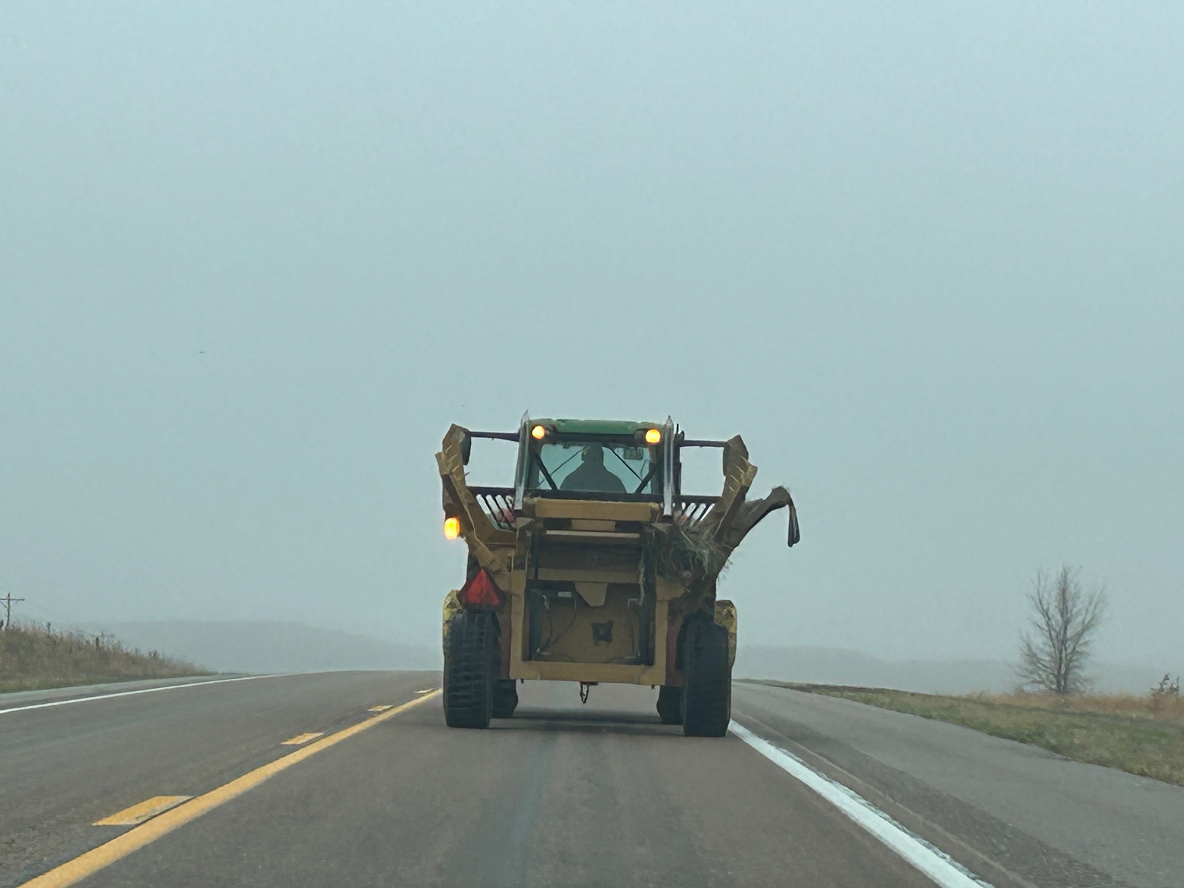
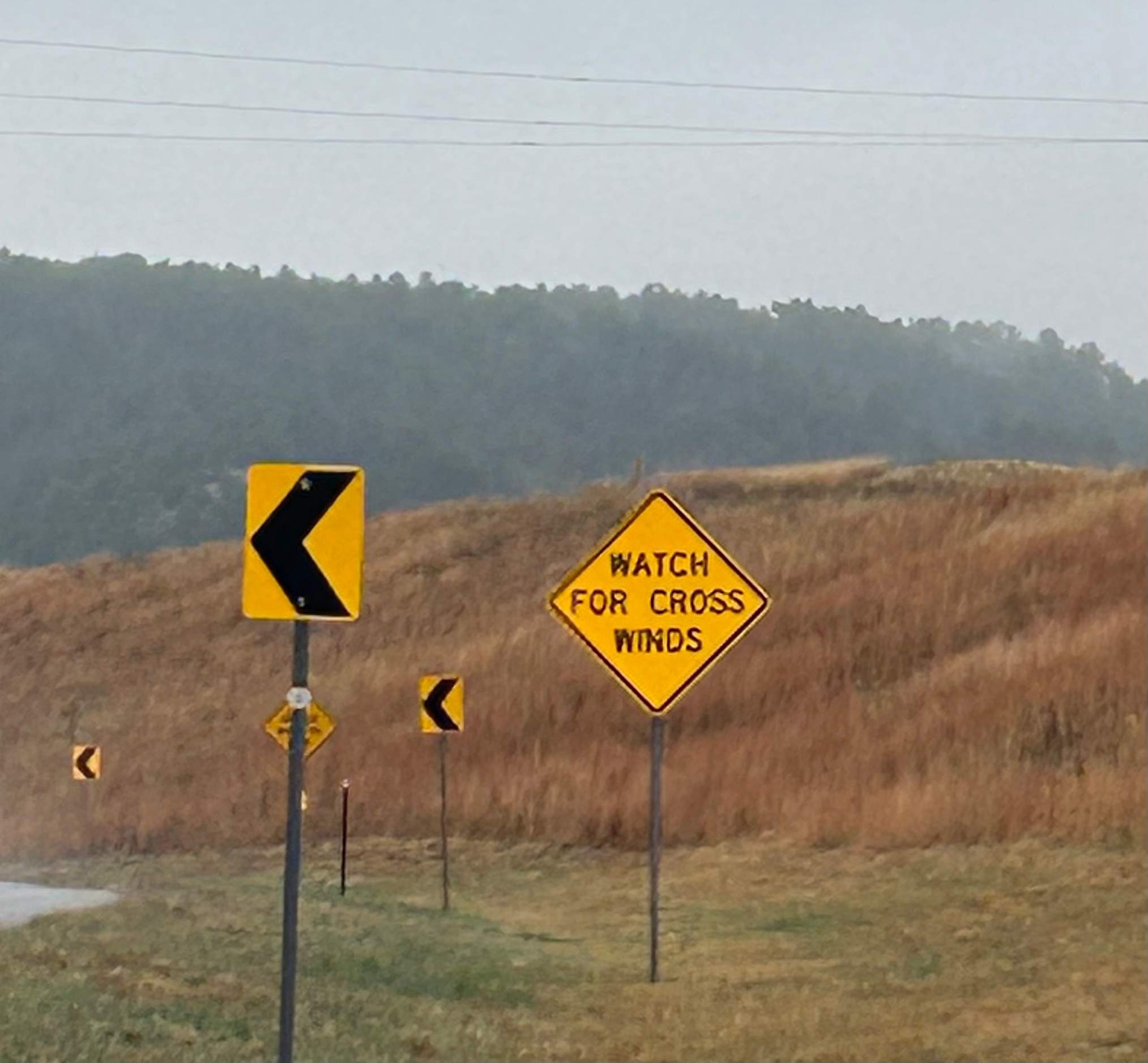
Other oddities along the last bit of Nebraska featured tractors tooling lazily down the highway (easy enough to get around since there were very few people on the road). We also had a good laugh over the “Watch for Cross Winds” signs. We saw these the night prior as well, spurring conversation about how you can’t watch/see wind. The warning was duly noted regardless.

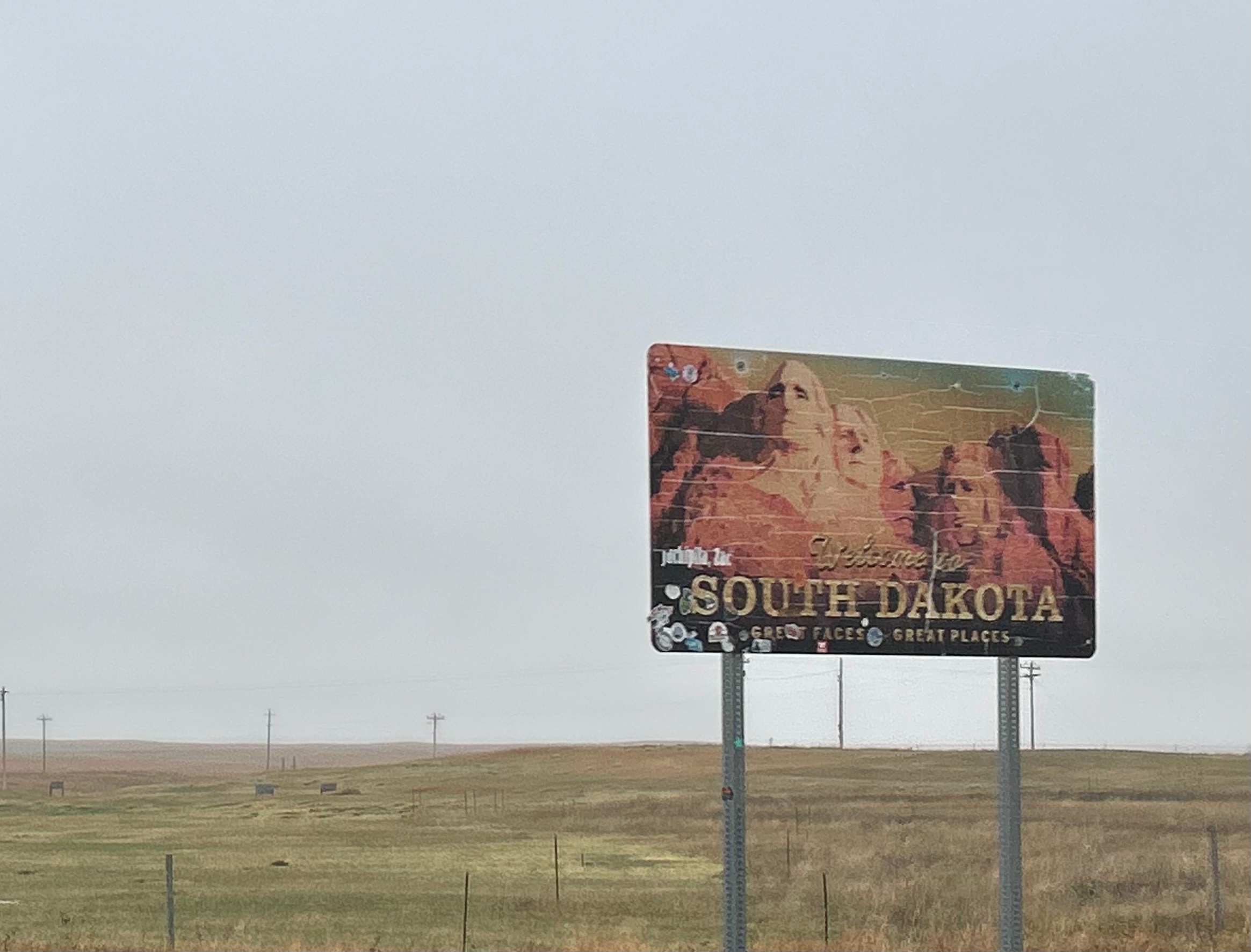
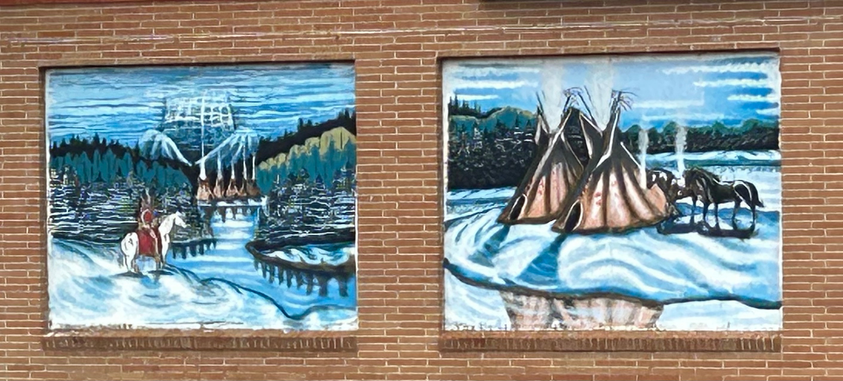
As we moved on from Nebraska to South Dakota, the landscape started including more shrubs and trees that were dark, almost dead looking. Turns out these were Black Hills Spruces and Ponderosa Pines. We drove through small towns and tribal lands, enjoying art on some of the local buildings.

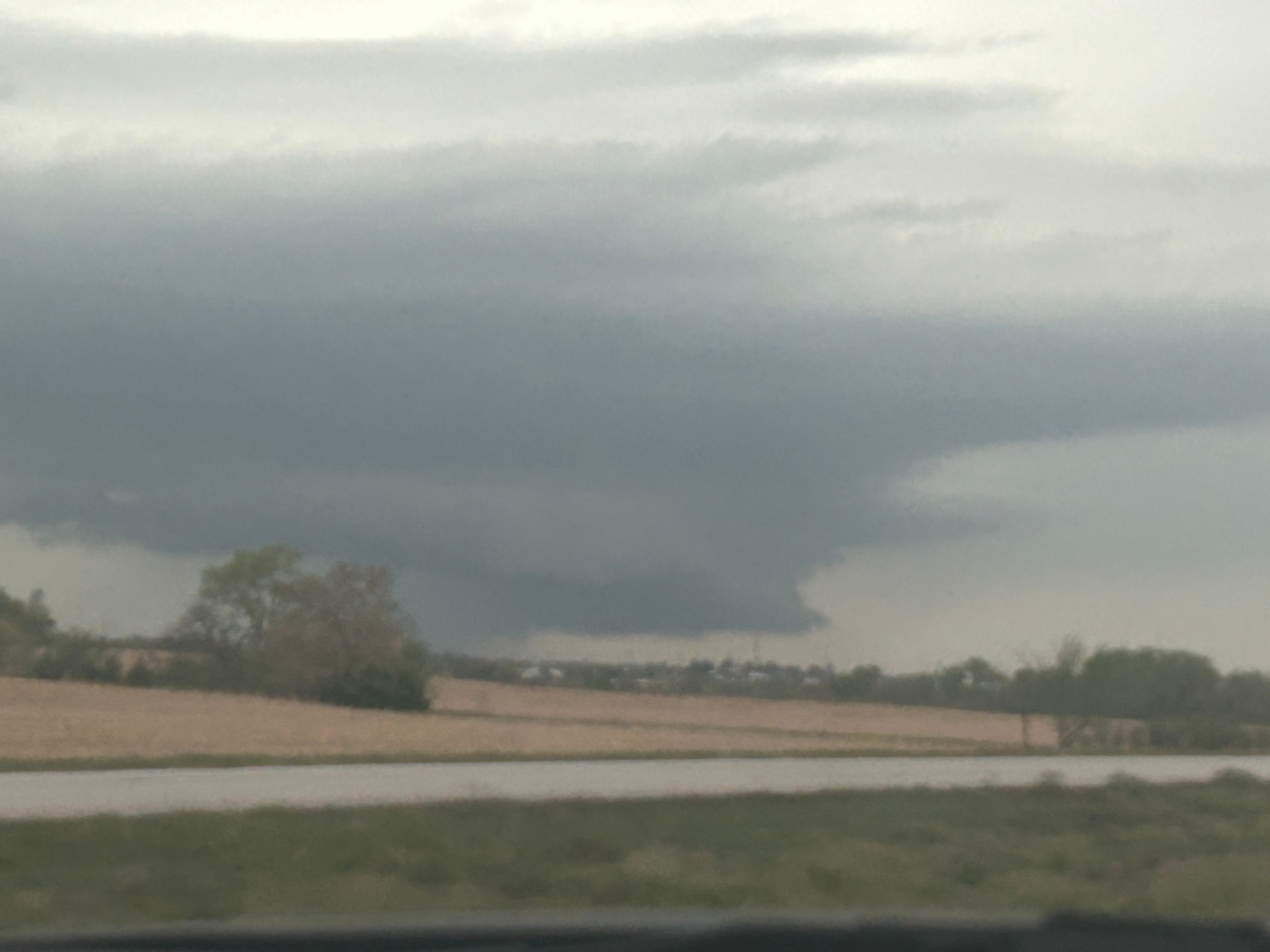
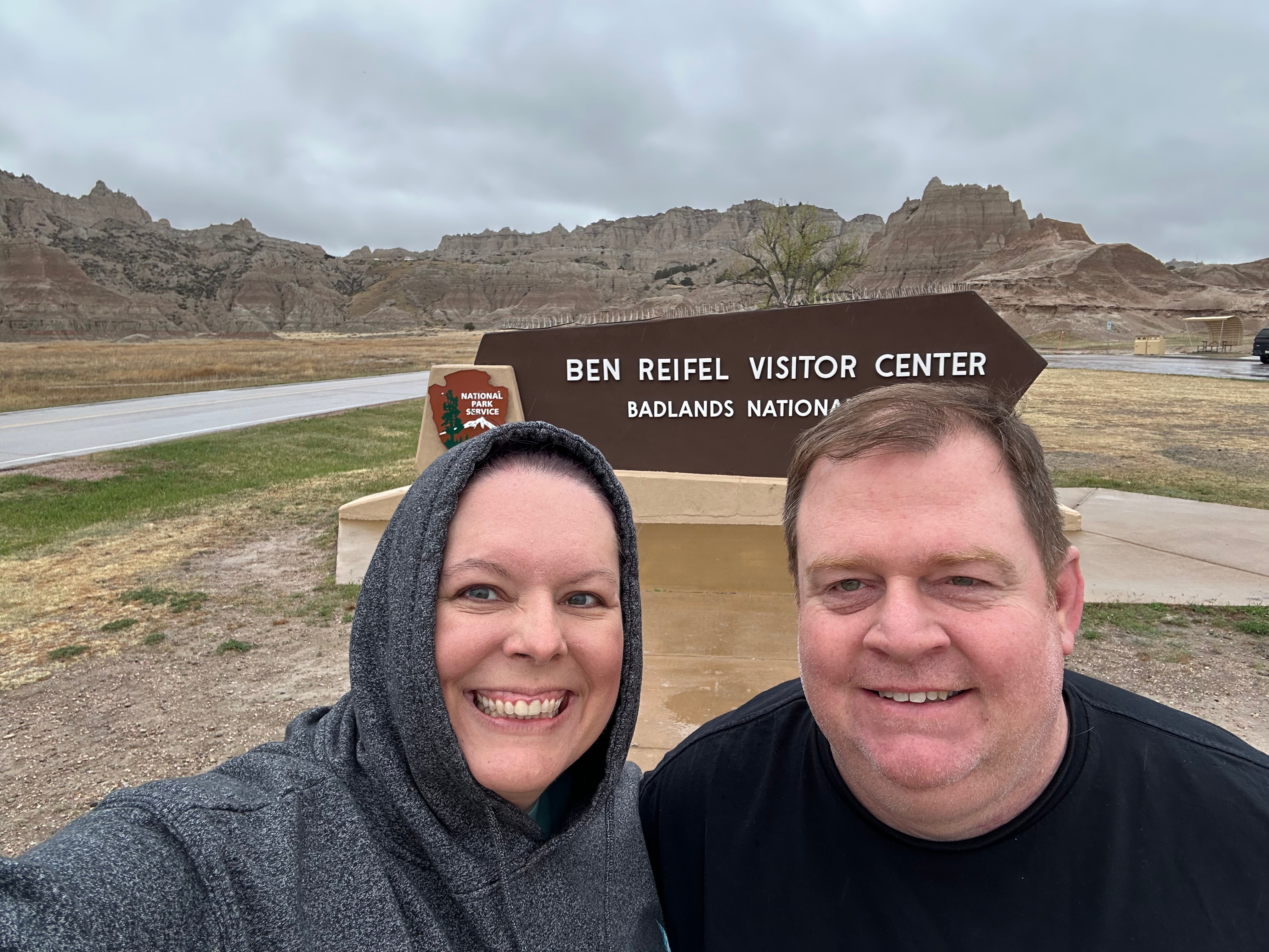
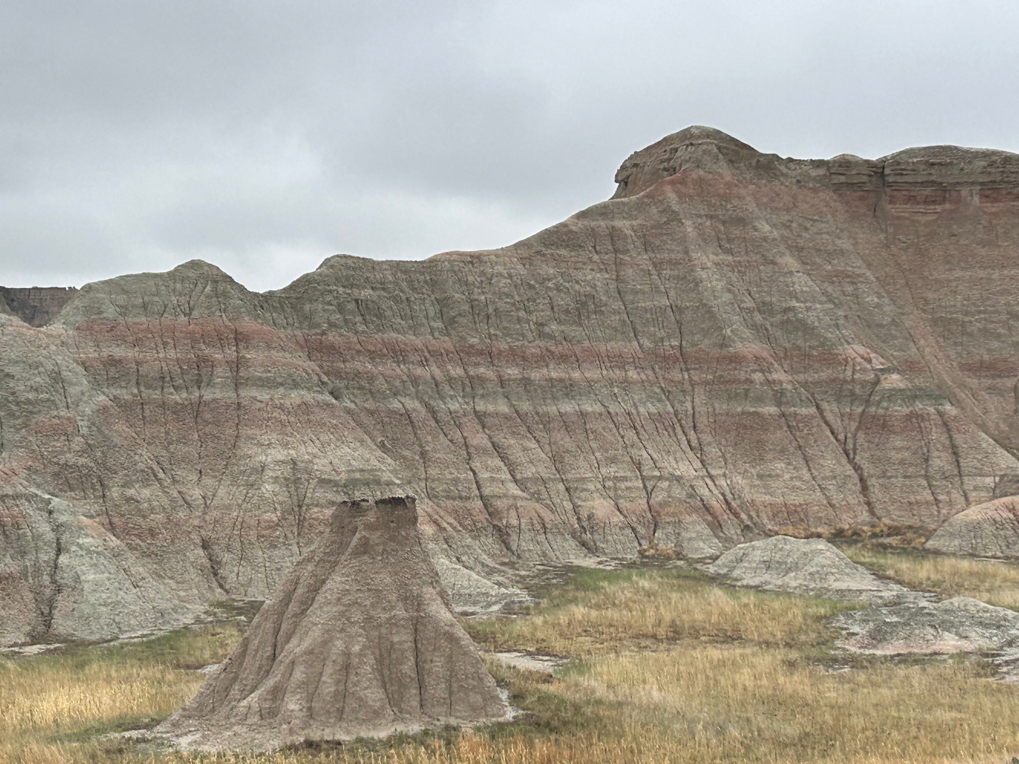
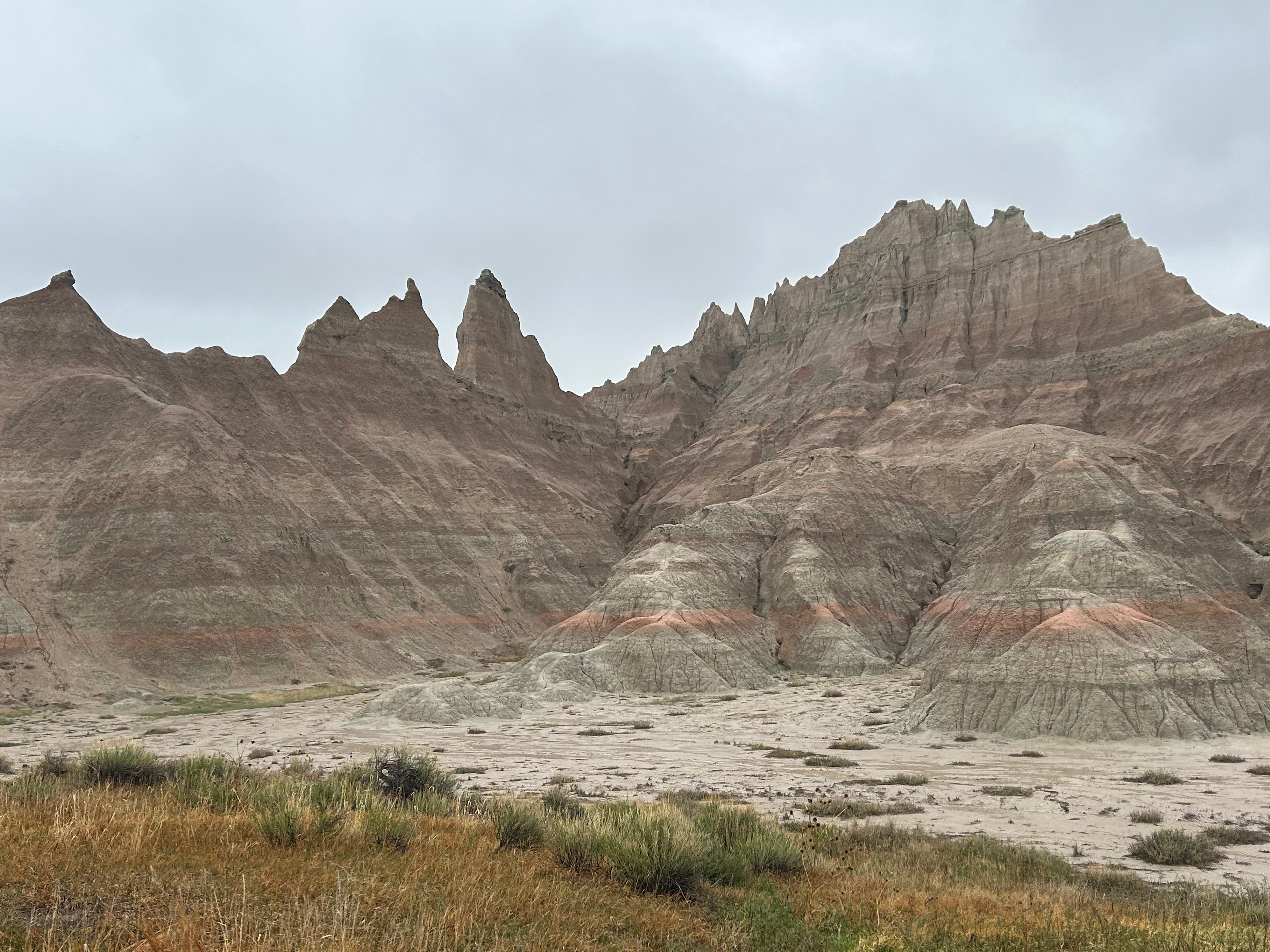
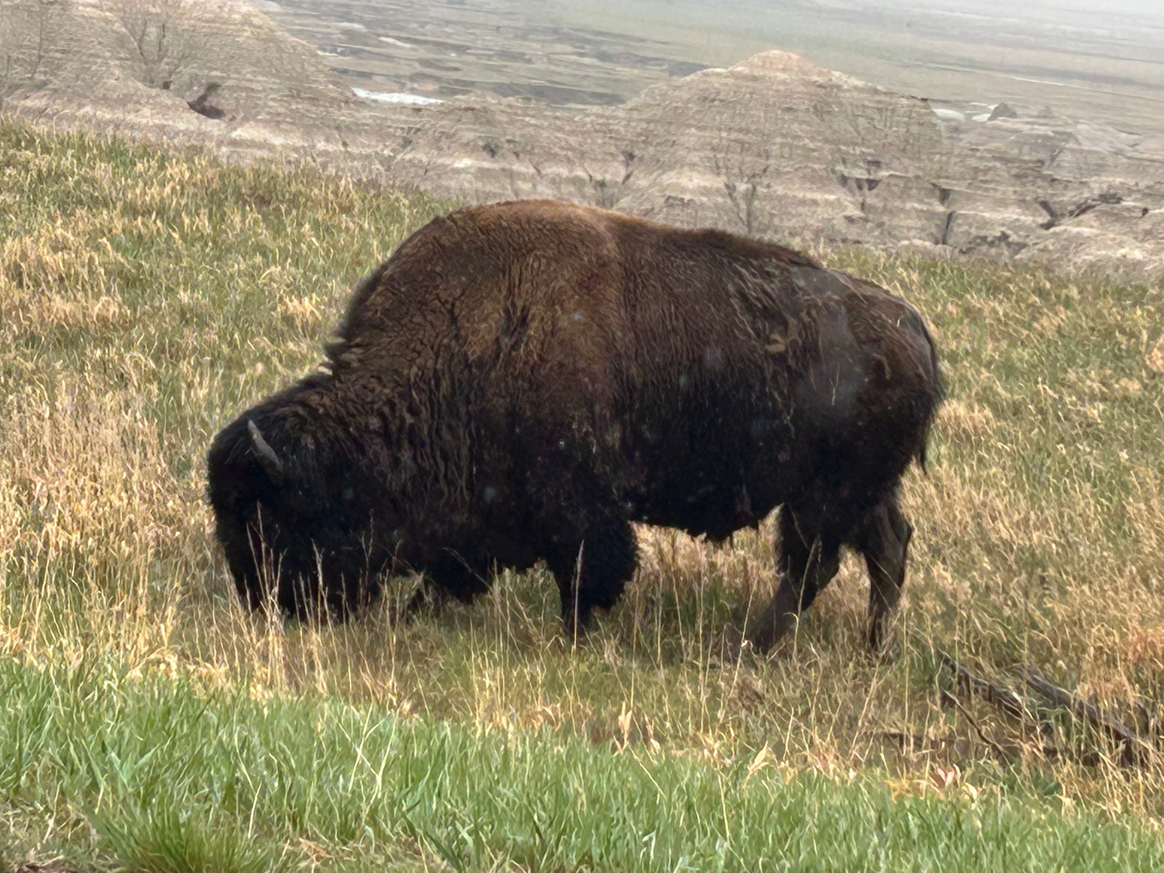
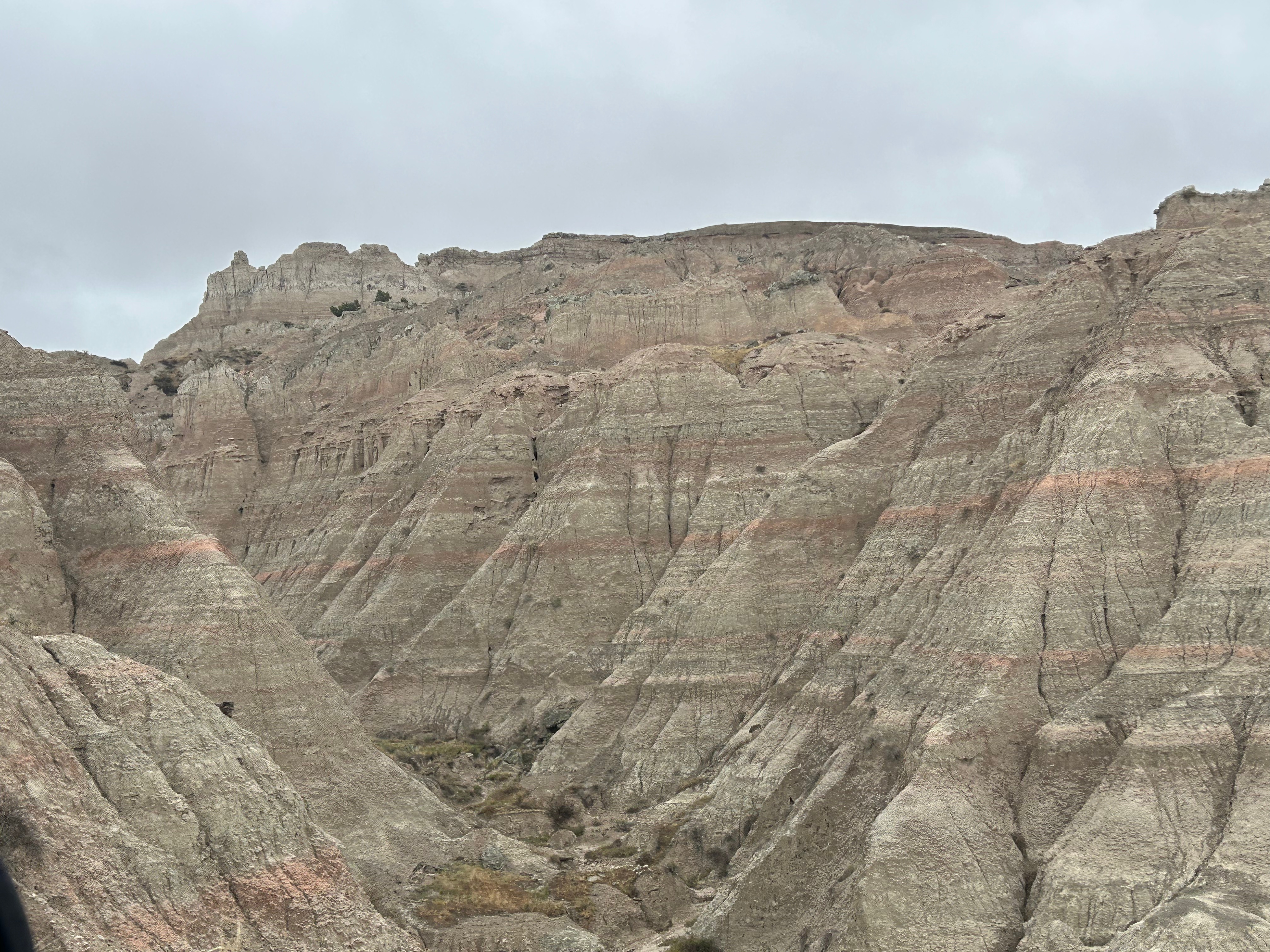
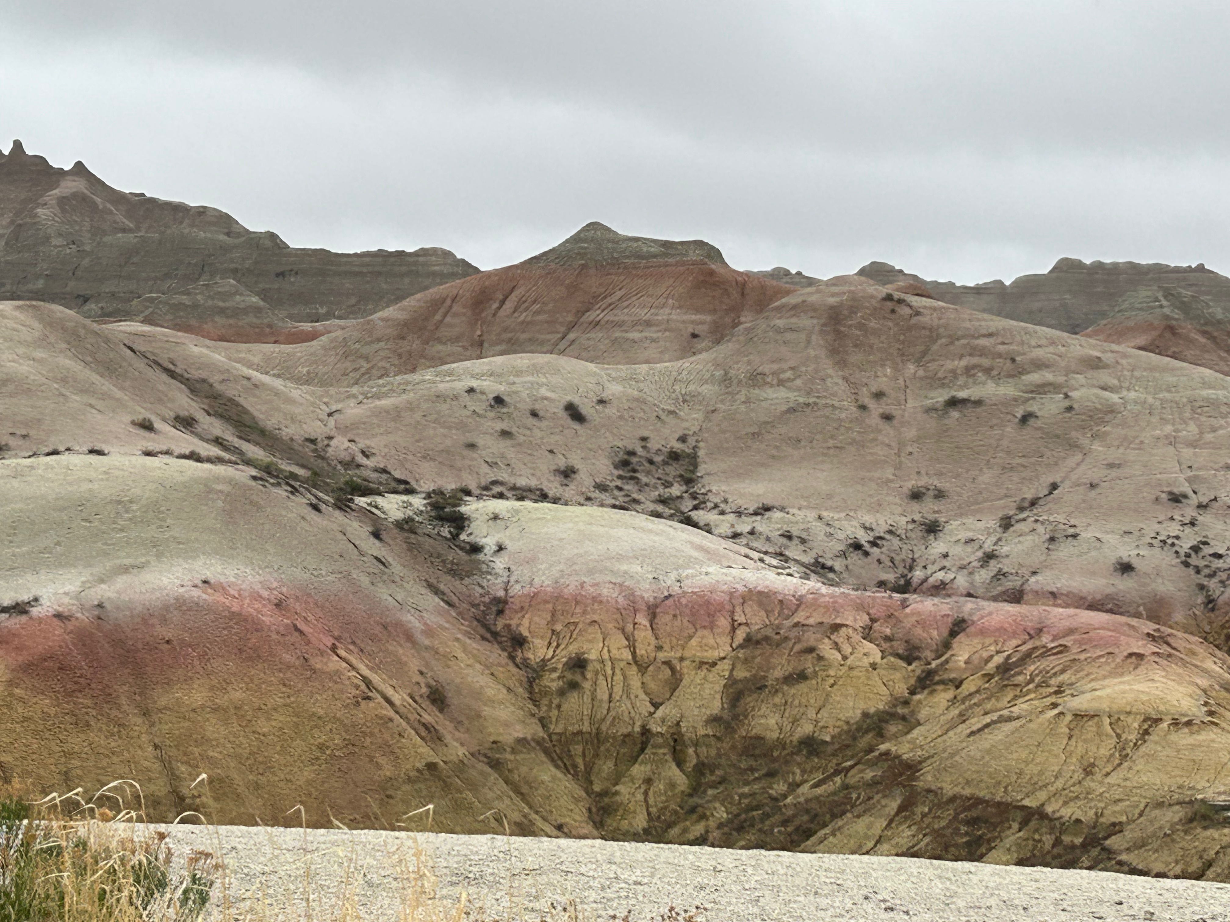
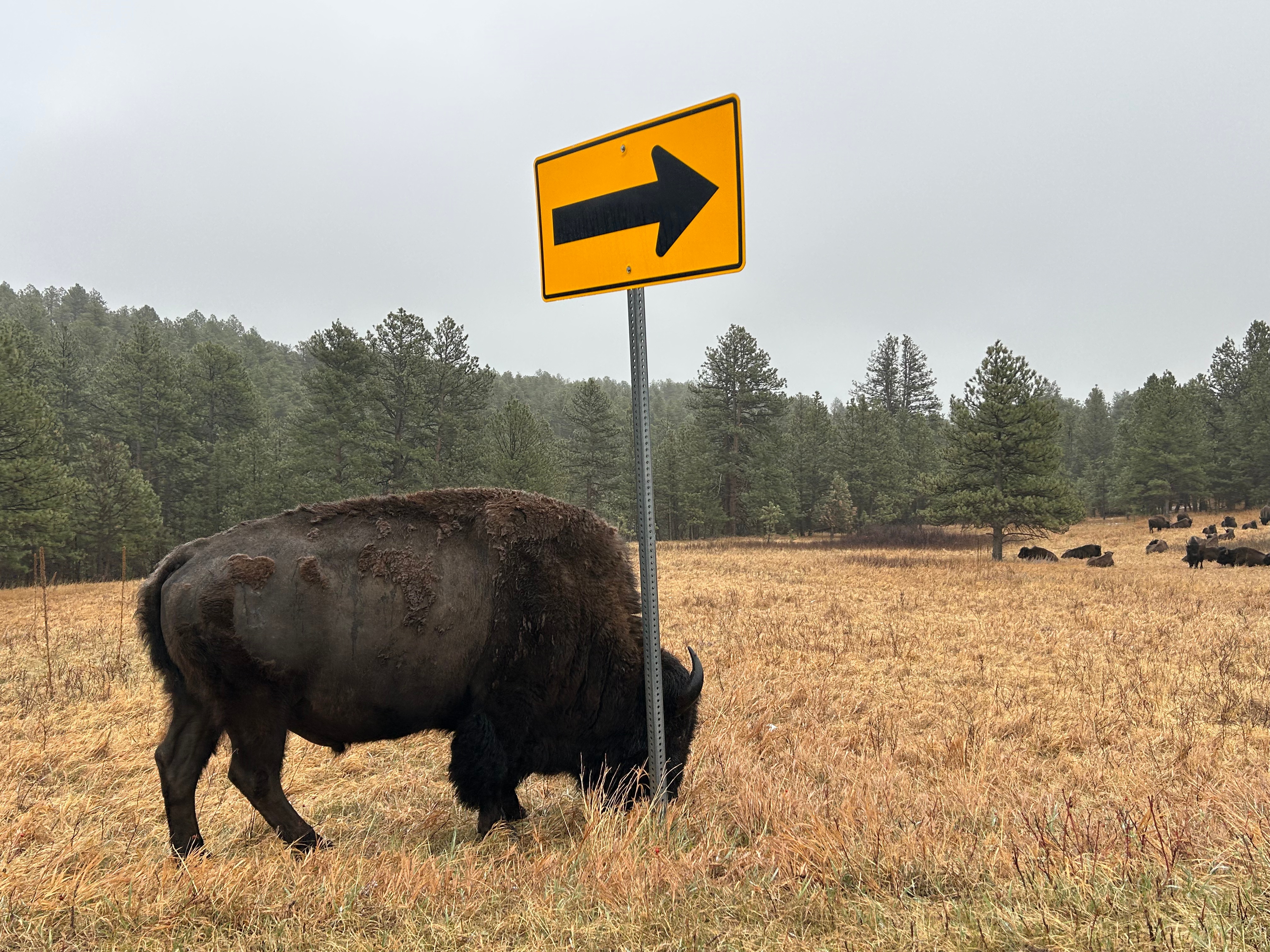
Then, somehow out of nowhere, the landscape changed, and we were in the Badlands. After the obligatory visitor center stop, we took the loop road through the park. It was cold and windy with low clouds, so we didn’t visit any of the overlooks. I’ll bet this place is even more stunning on a clear day where you can see across the vast vistas. It was still such an amazing place, with color and formation changes around every turn. The buttes, peaks, and gullies were all interspersed with the surrounding prairies. Even without the sun shining on the formations, you could see more colors than you could count. Despite the weather, we got to see some bison grazing along the roadside. We also saw the mounds where prairie dogs and black-footed ferrets live, but they seemed to be hiding from the weather.

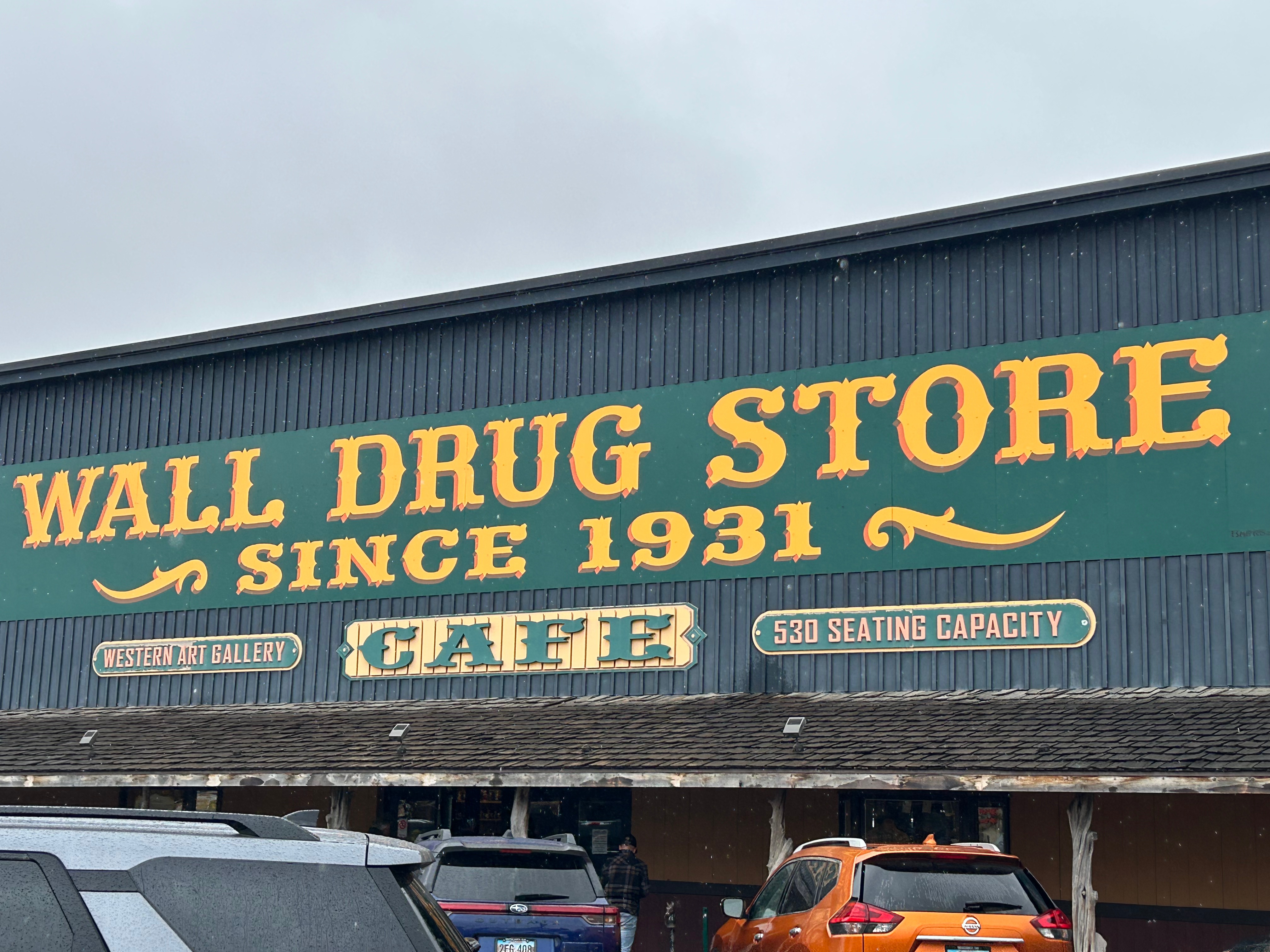
As we departed the Badlands, it just happened to be lunchtime, and we just happened to be near Wall Drug. So off we went to check out another tourist trap. The whole town of Wall leaned heavily on the draw of Wall Drug and the place was surrounded by every possible shop you could imagine. We didn’t pan for gold or go gem mining or even buy boots. We did have a delicious lunch and amazing cherry pie. Of course, I also had to enjoy some free ice water. If you know, you know. ;)

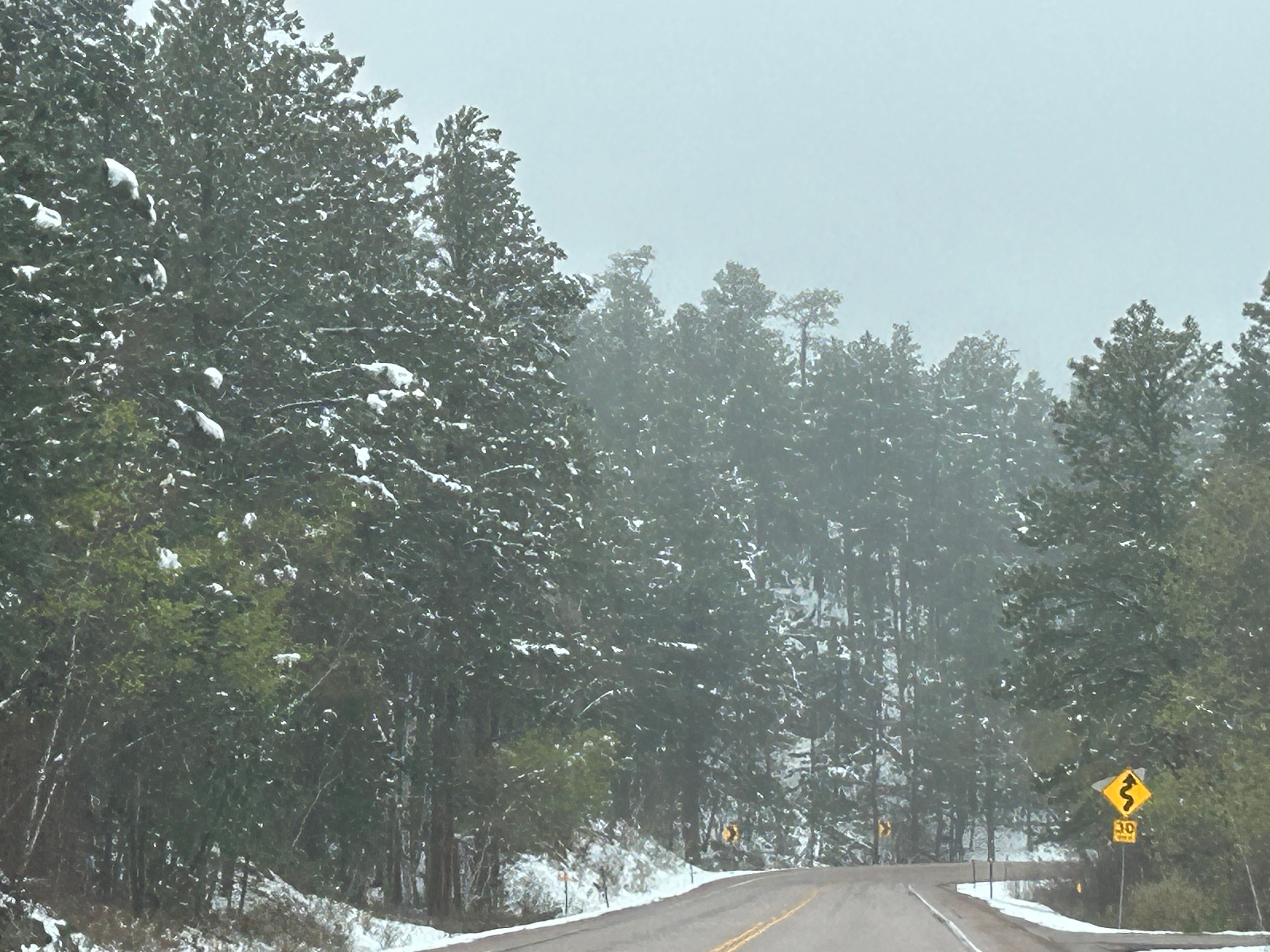
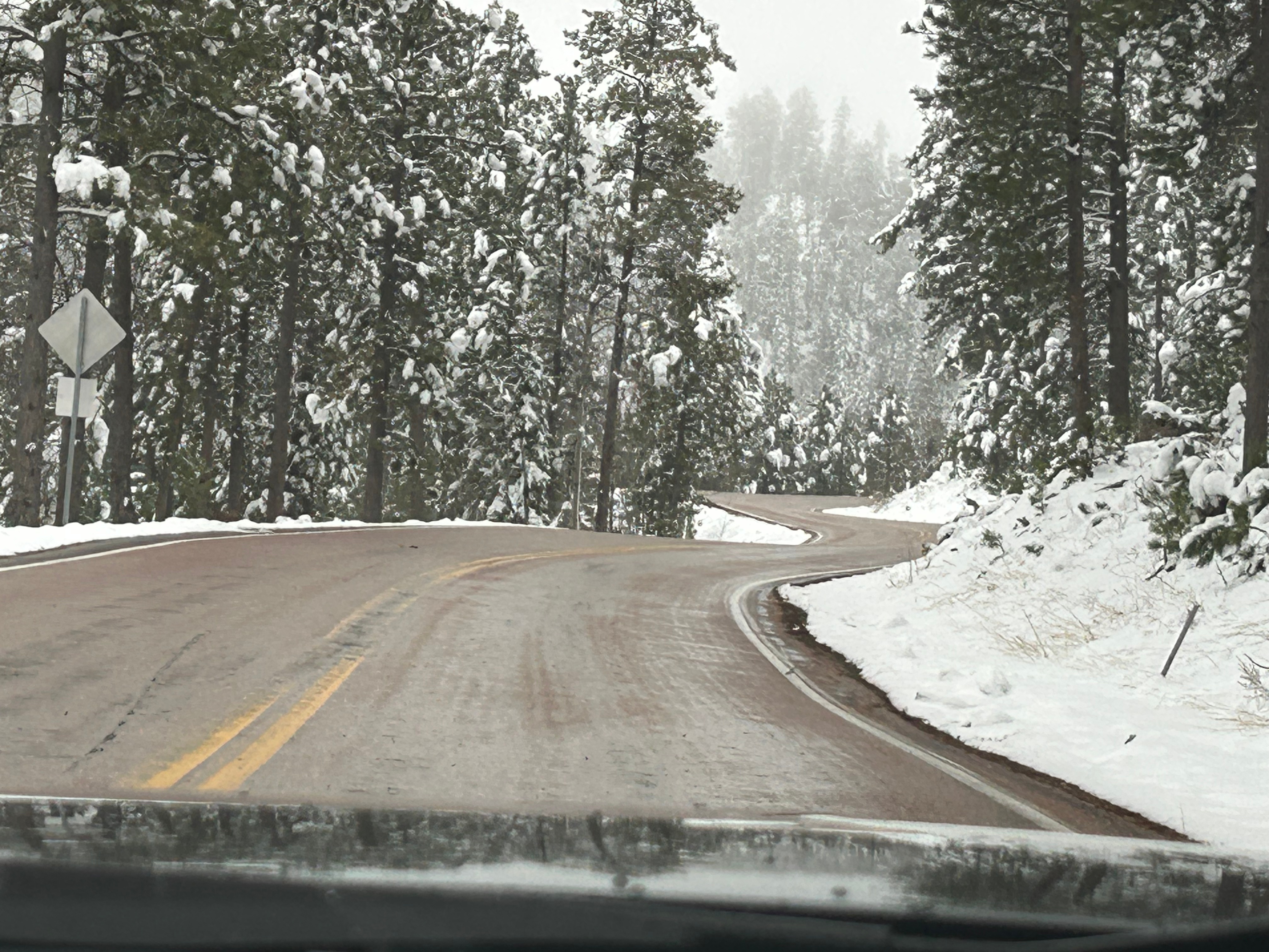
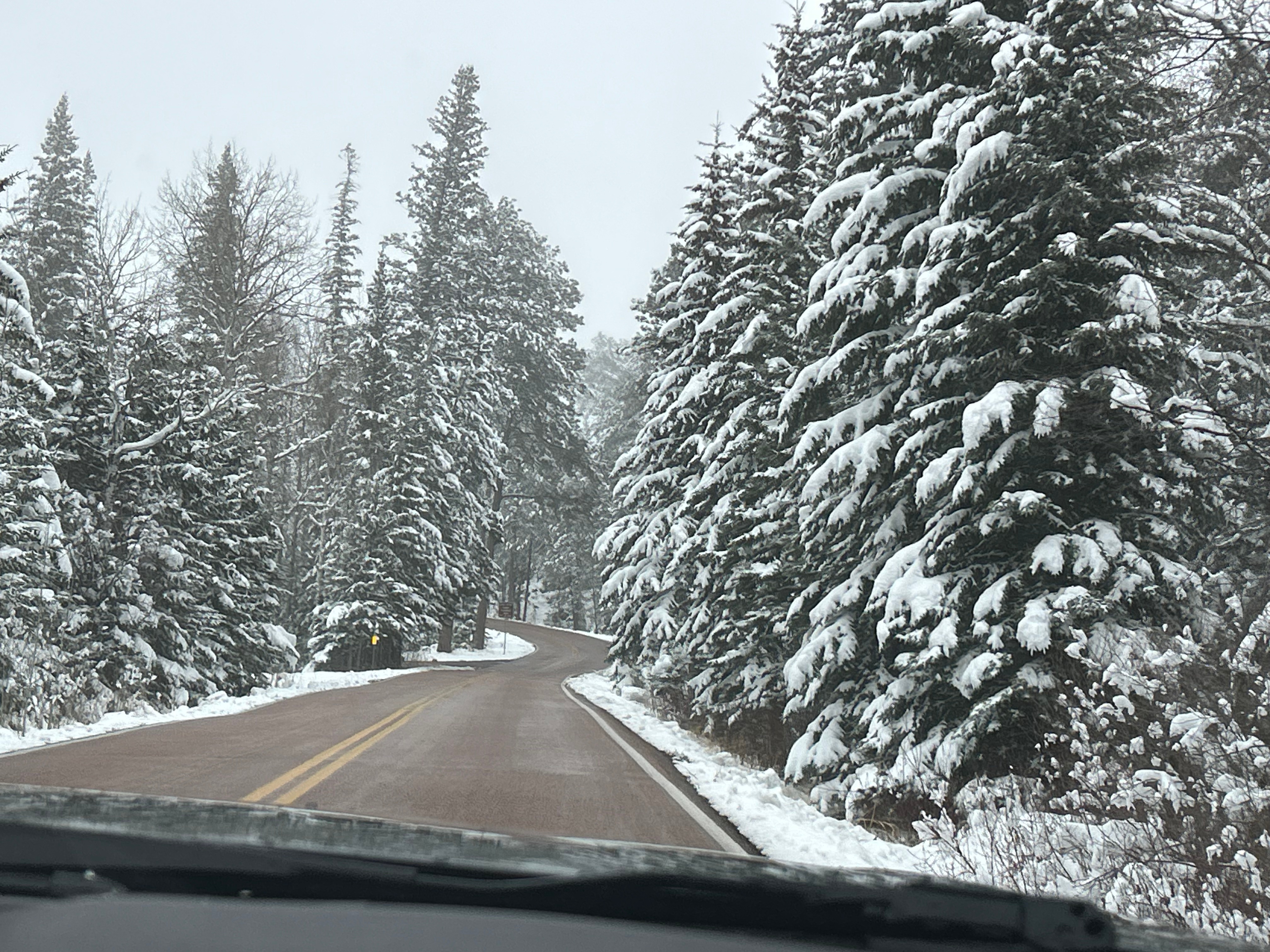
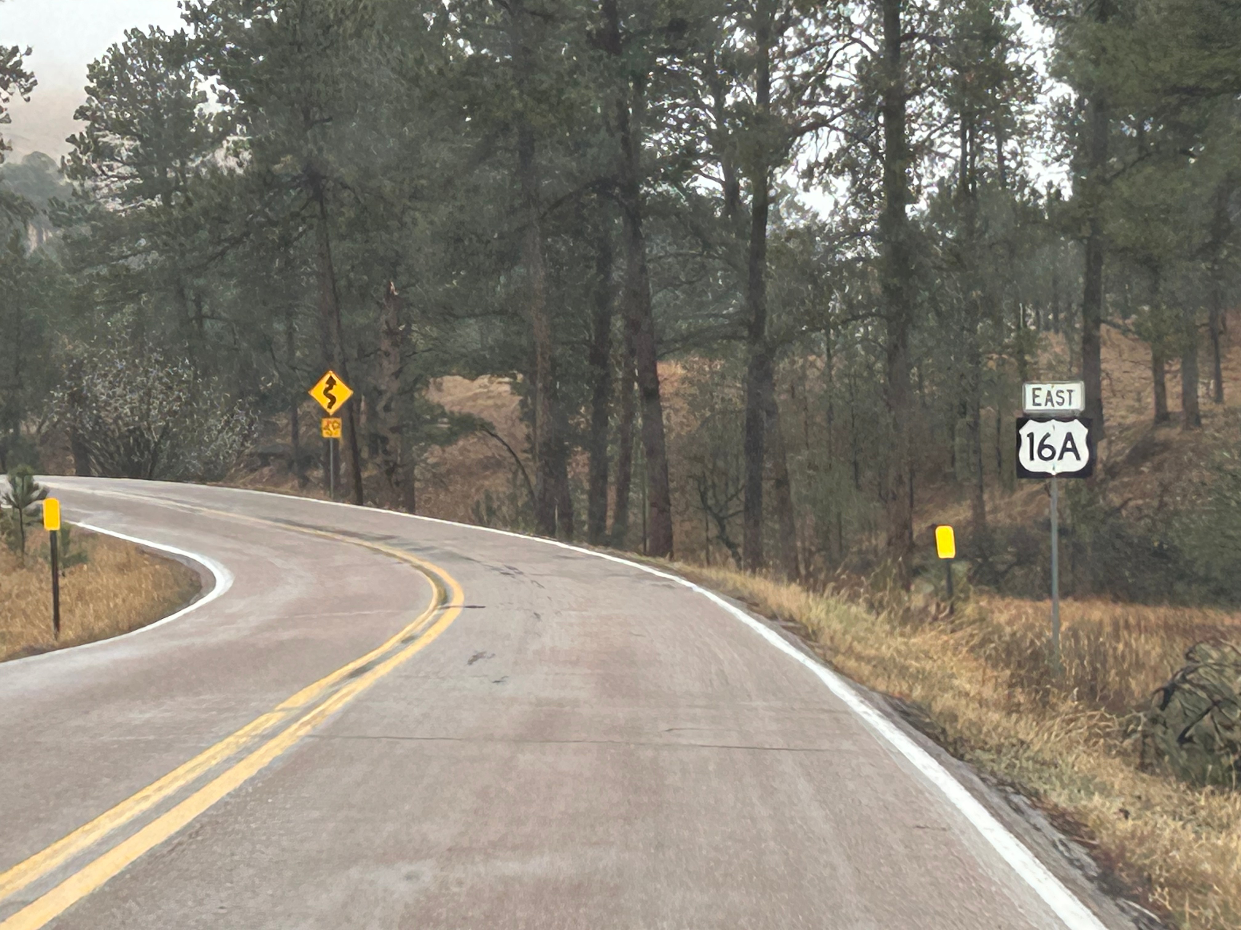
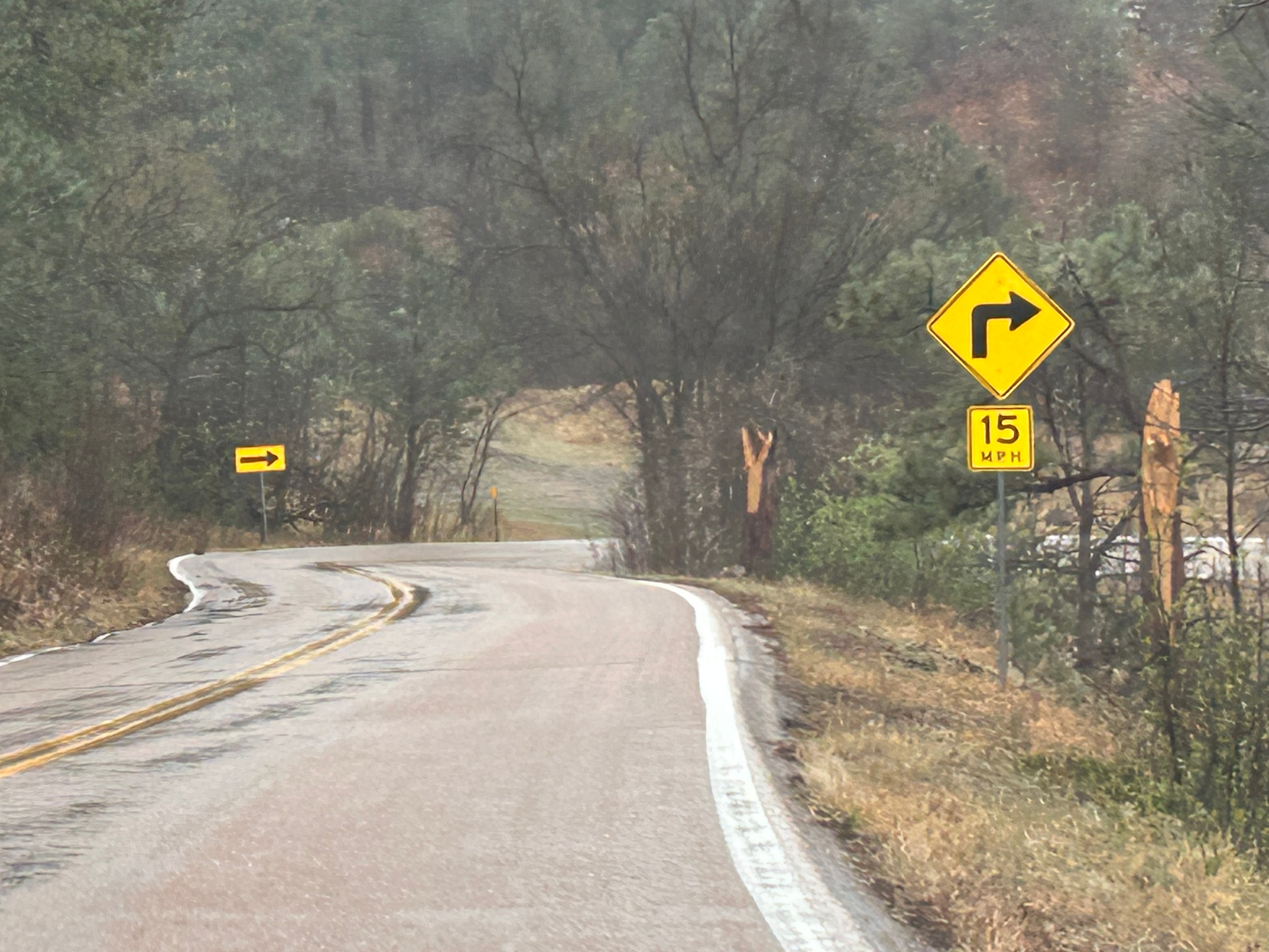
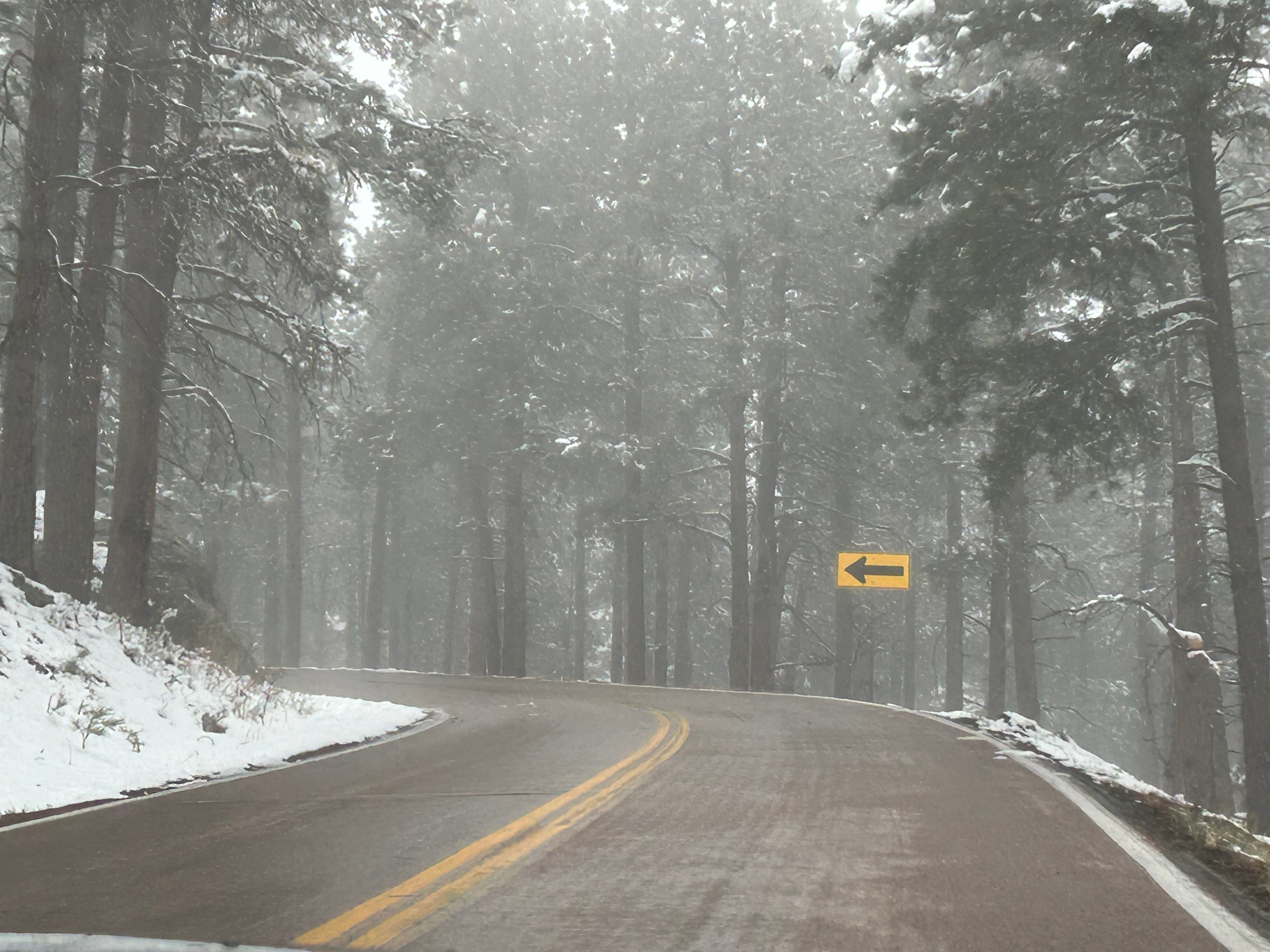
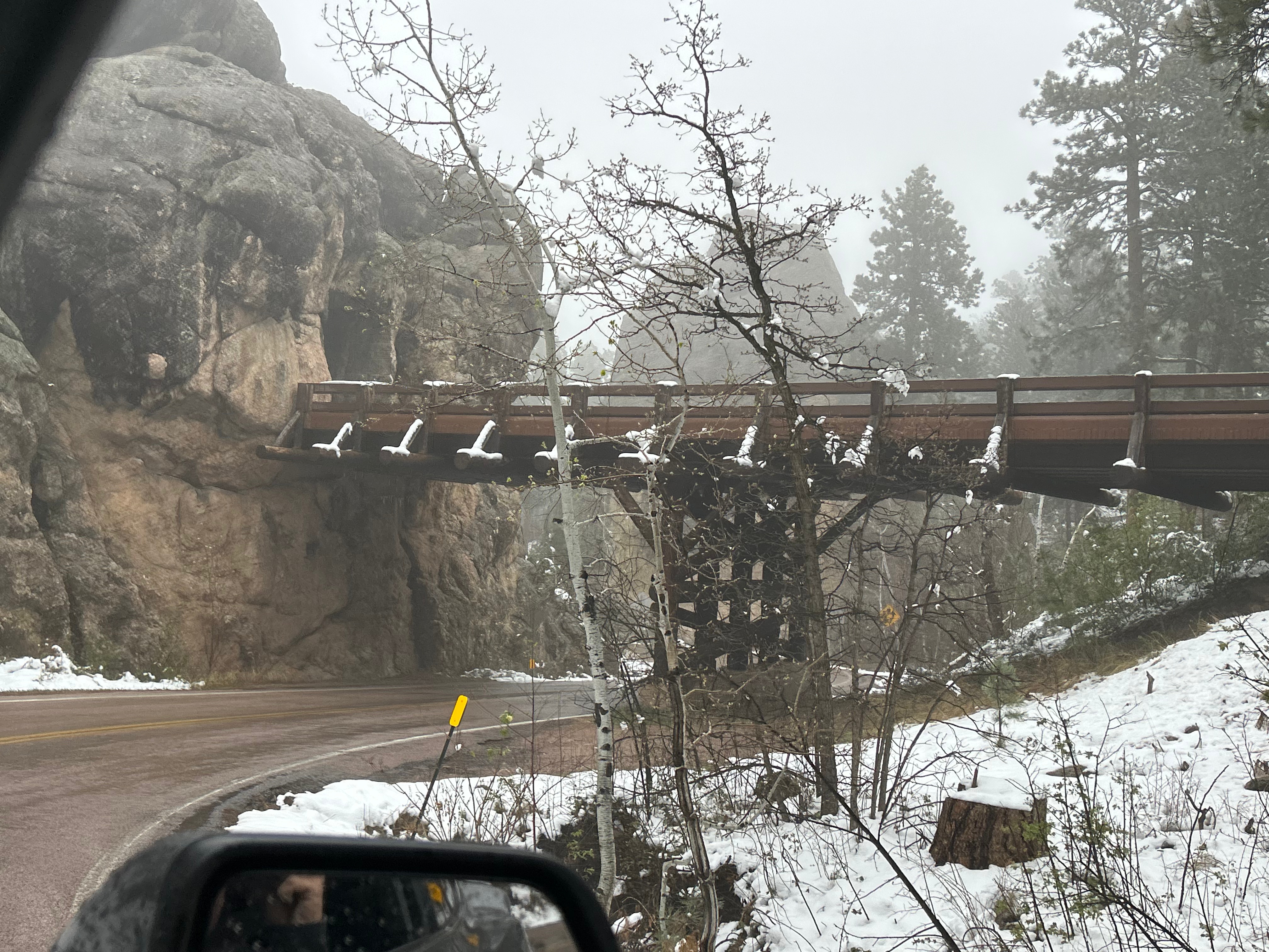
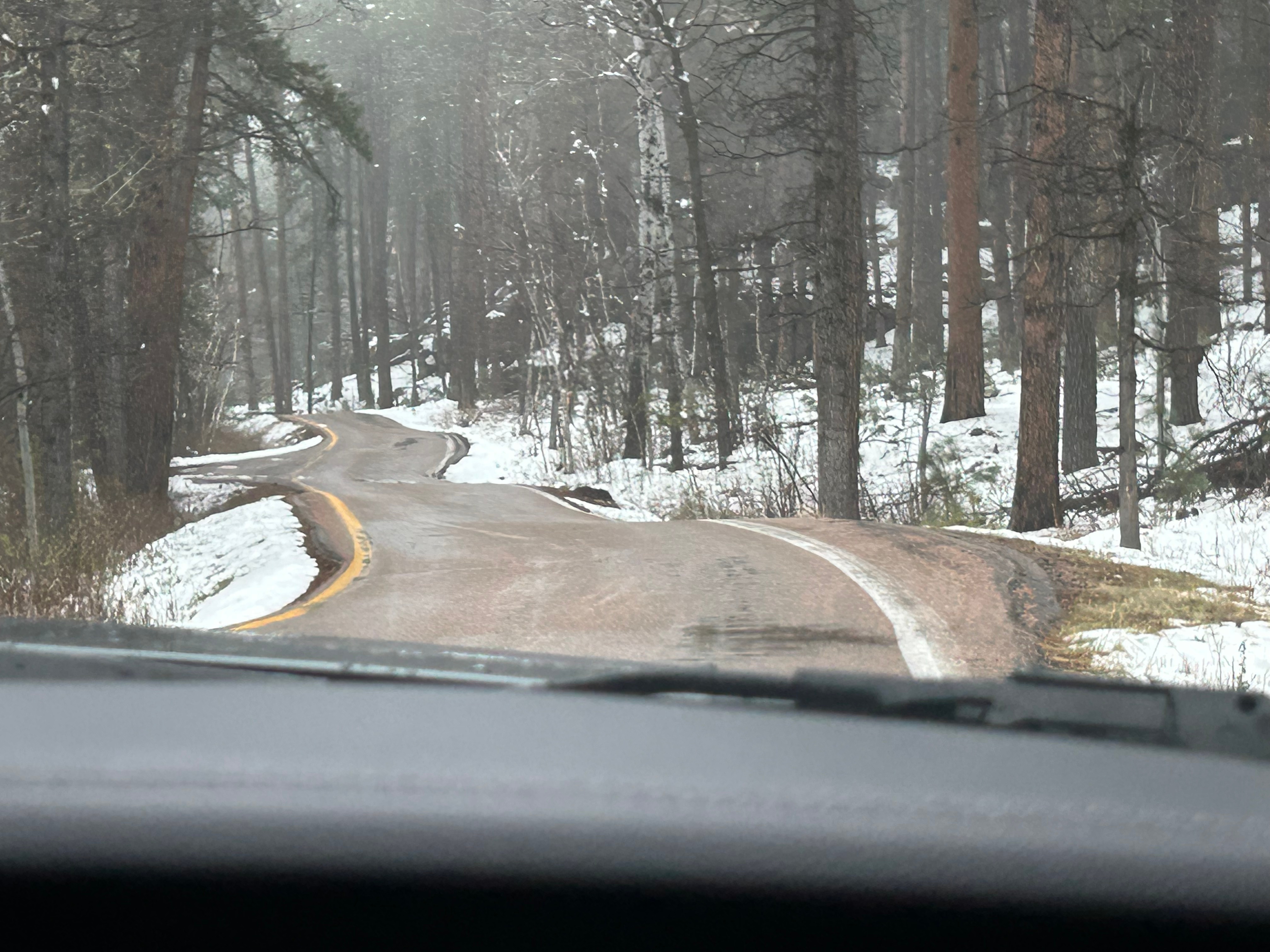
It looked like we had burned just enough time to venture towards the Black Hills National Forest after the morning’s snow. The Iron Mountain Road in the Black Hills is what brought us to South Dakota to begin with. Thom was eager to drive this road, and I was eager to see the views. We’d watched some YouTube videos of others driving this road, and the tunnels seemed cool–especially the one where you can see Mount Rushmore through the tunnel. The roads were still wet from the morning snow but, as with every road we’d encountered, it seemed like all roads were treated well and frequently. So off we (cautiously went).

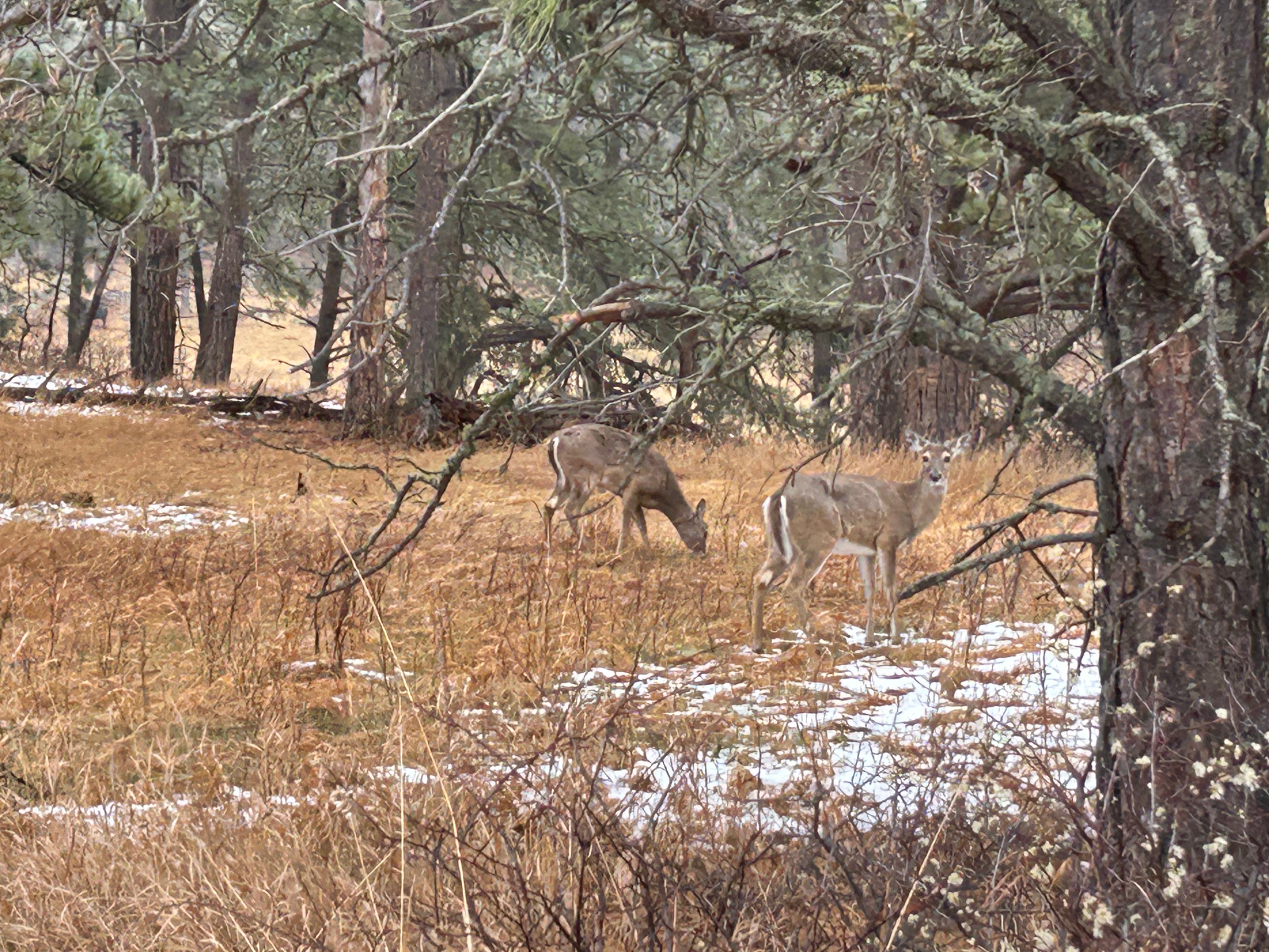
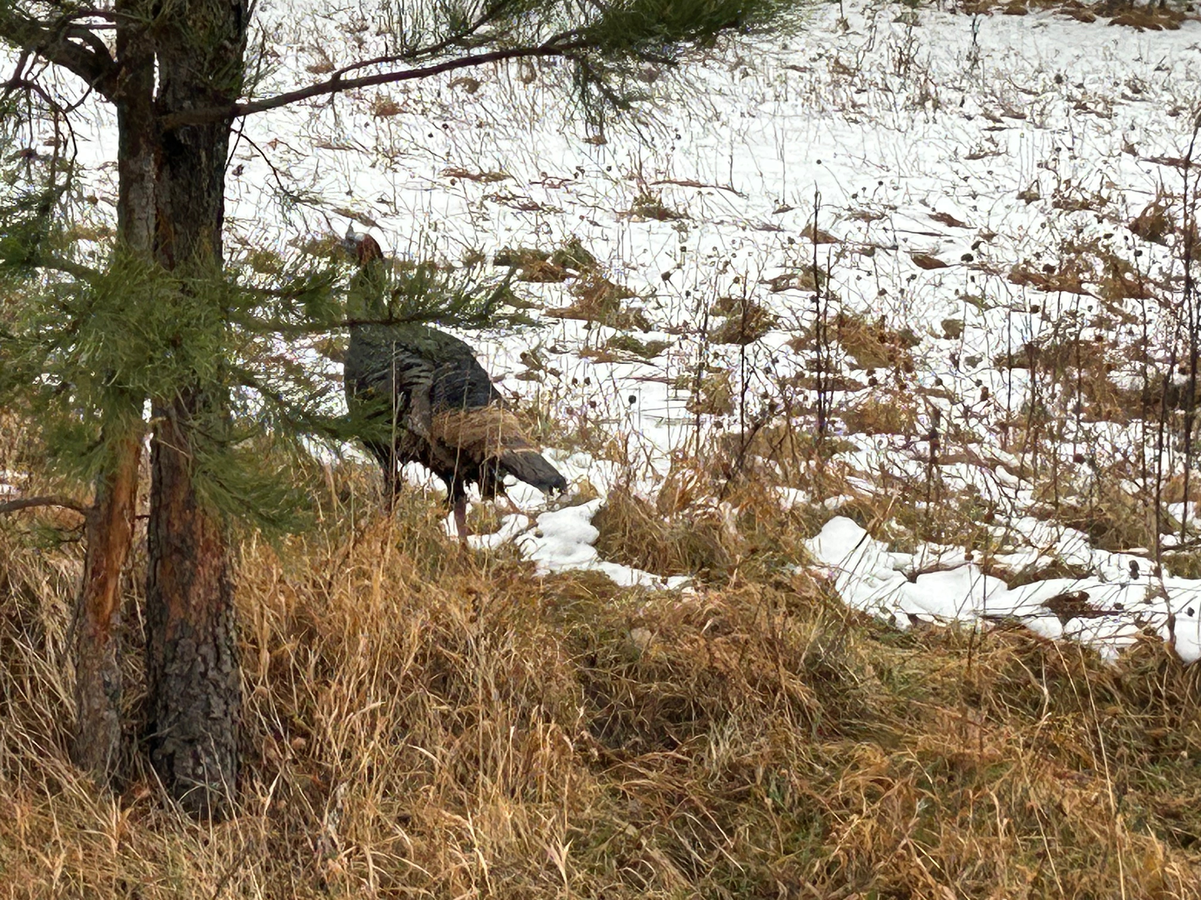
The Iron Mountain Road is a 17-mile stretch featuring 314 curves, 14 switchbacks, 3 pigtails, and 3 tunnels. Oh, and there are countless animals…some of which could be standing in the road when you round a corner. We saw so many animals, many of which we captured pictures of: bison, deer, turkeys, vultures, and antelope. Sadly, we didn’t see any of the big horn sheep. And if all of this wasn’t challenge enough, we were making an elevation gain of about 1000 feet…putting us squarely into areas of deep snow and dropping temperatures. Thom took it really easy and we just enjoyed the ride.

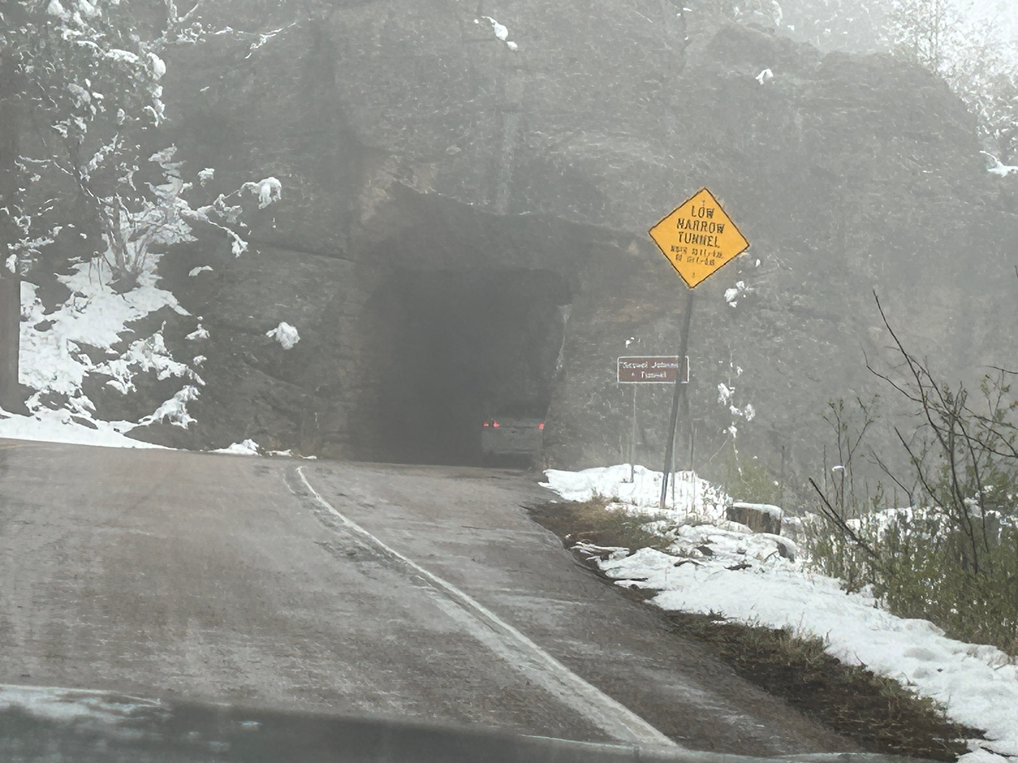
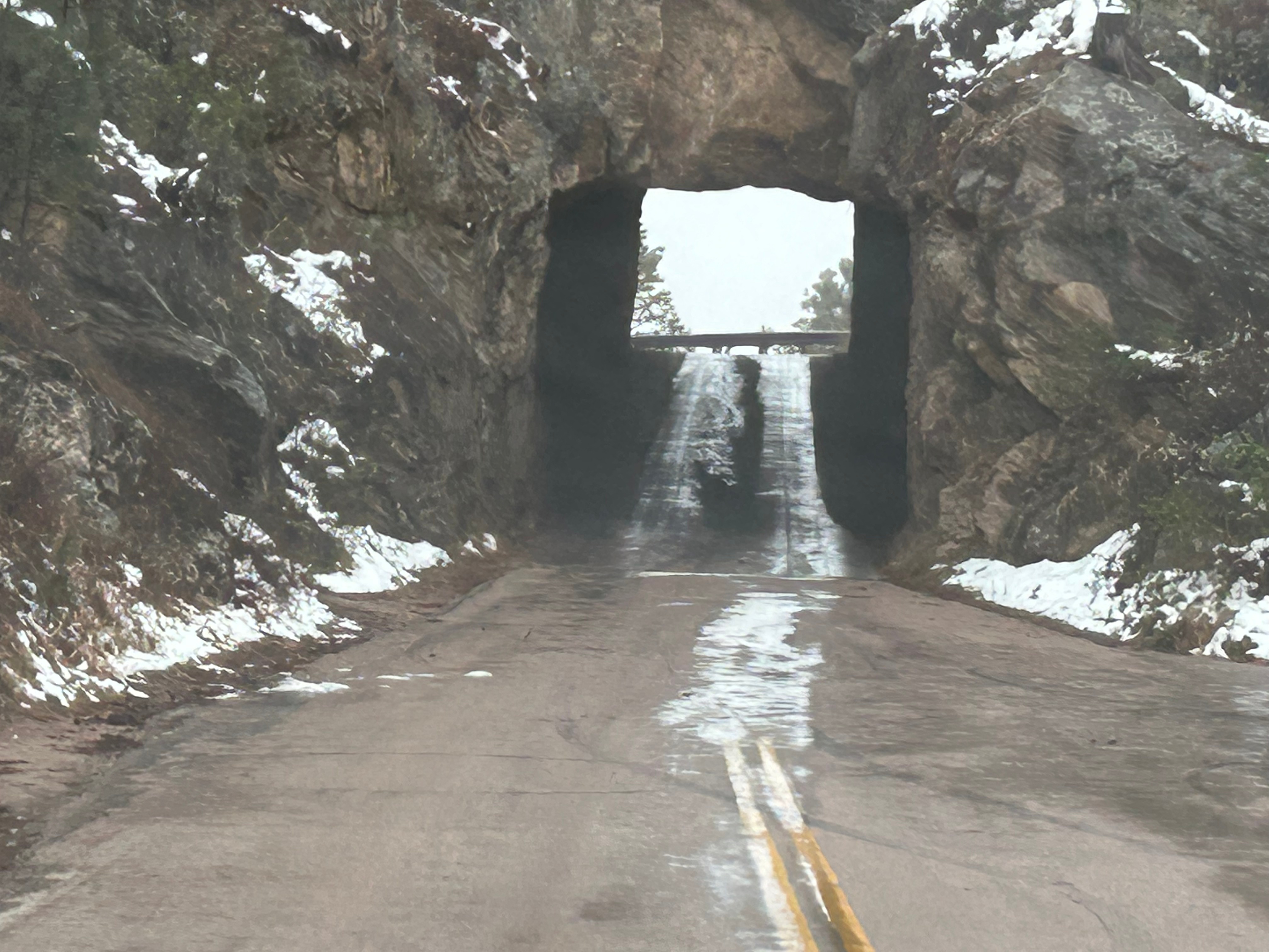
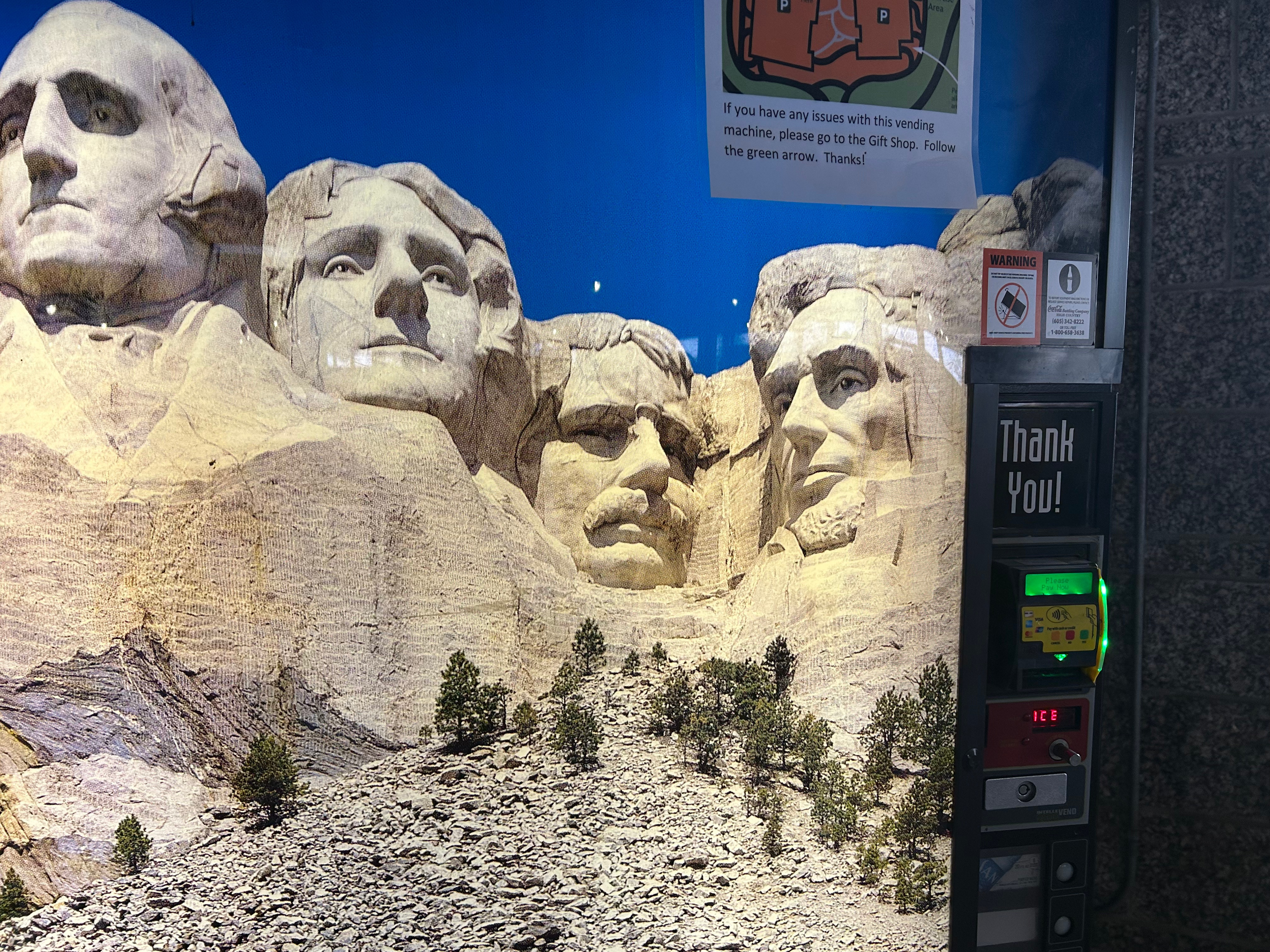
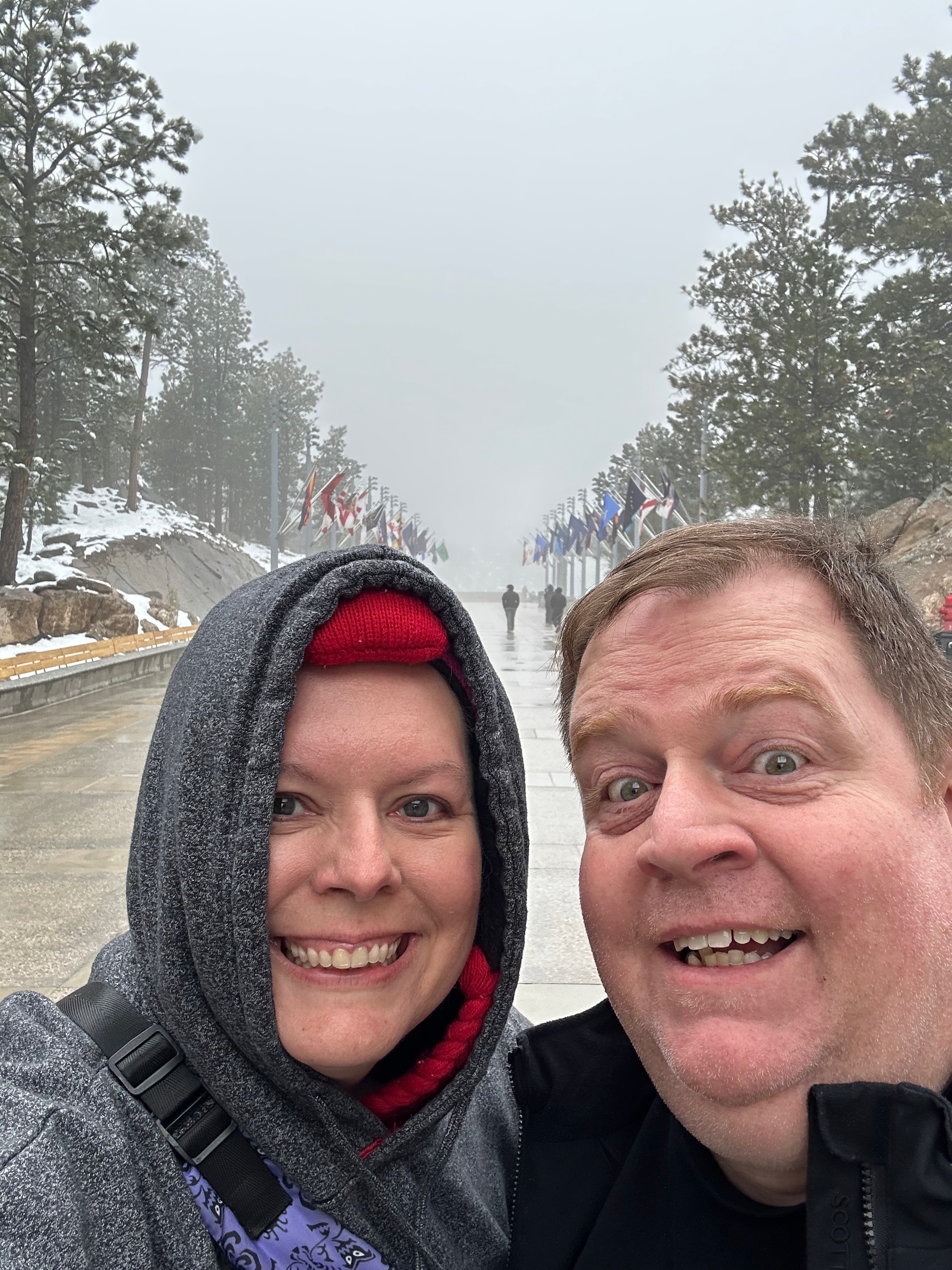
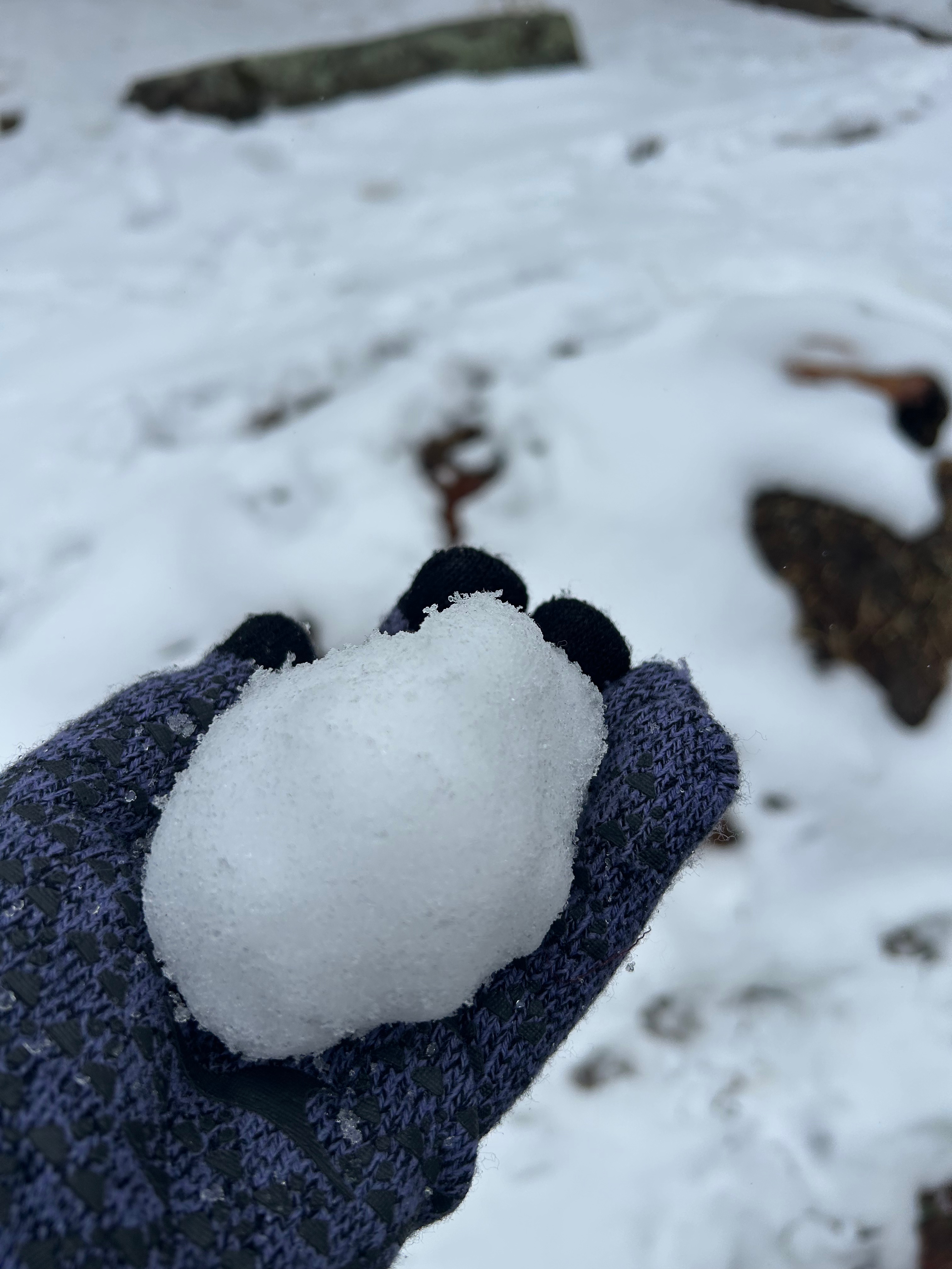
As you may have noticed from the pictures, there was no iconic Mount Rushmore view through a tunnel. There were just too many clouds. No problem, we were going to see Mount Rushmore up close after driving this road. Well, fun fact, you apparently don’t get all that close to Mount Rushmore, as we found out after paying $10 (since it’s not included in the National Park Pass, for some reason). We navigated the massive parking system, walked up through snow and slush, and were sorely disappointed at the wall of dense clouds. Ah well, we got a picture of the monument off the drink machines and I got to make a snowball, so all was not lost.

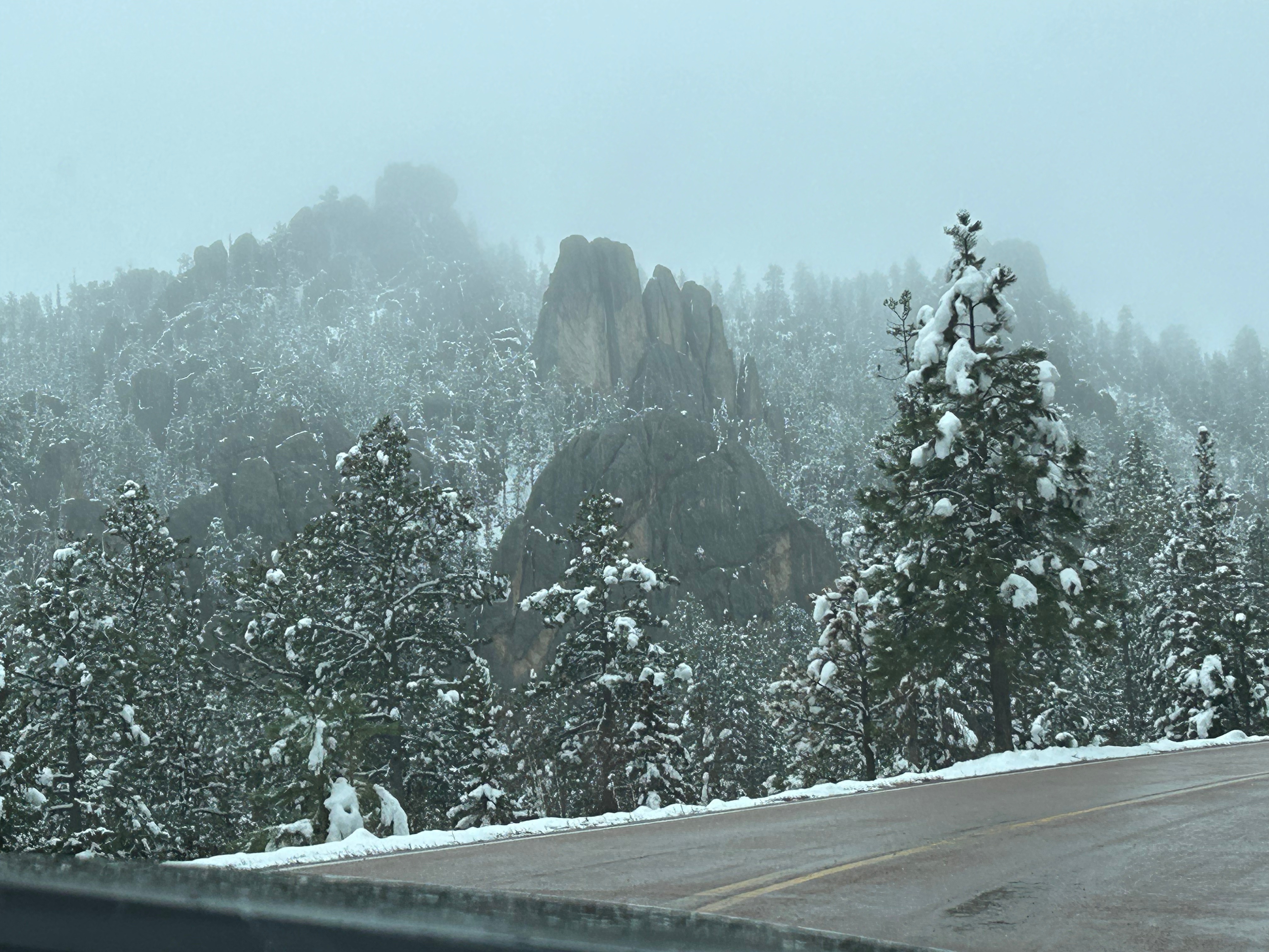
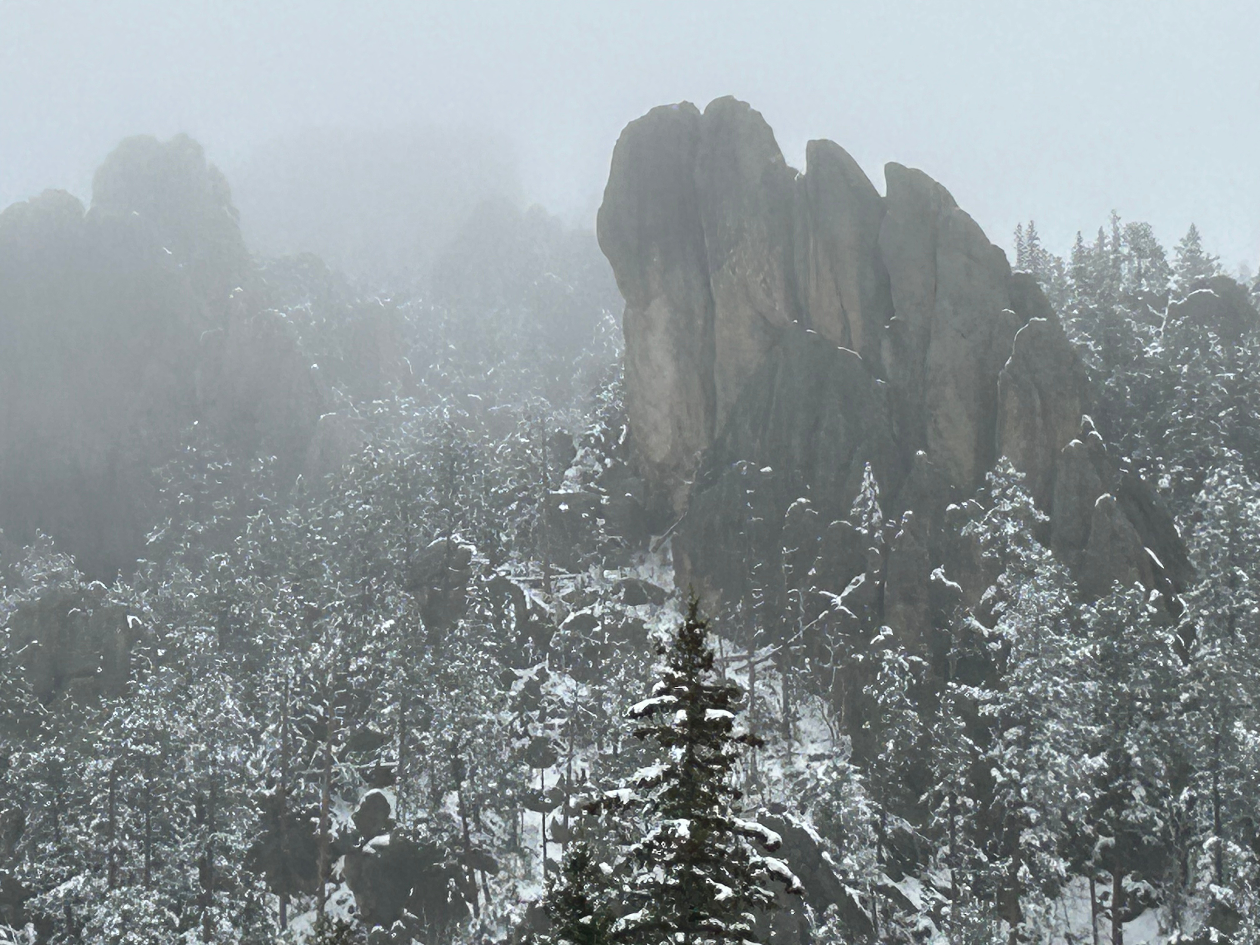
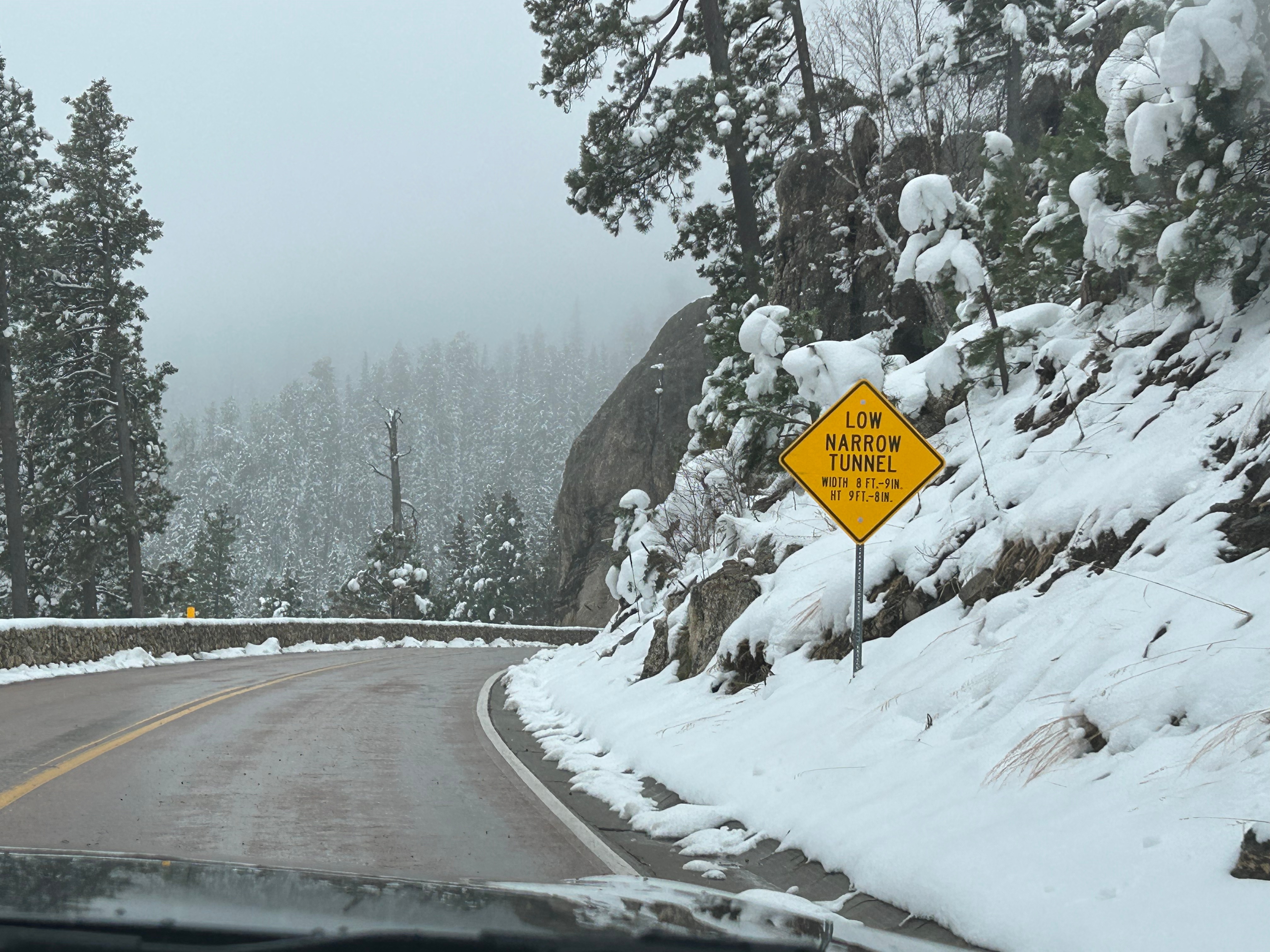
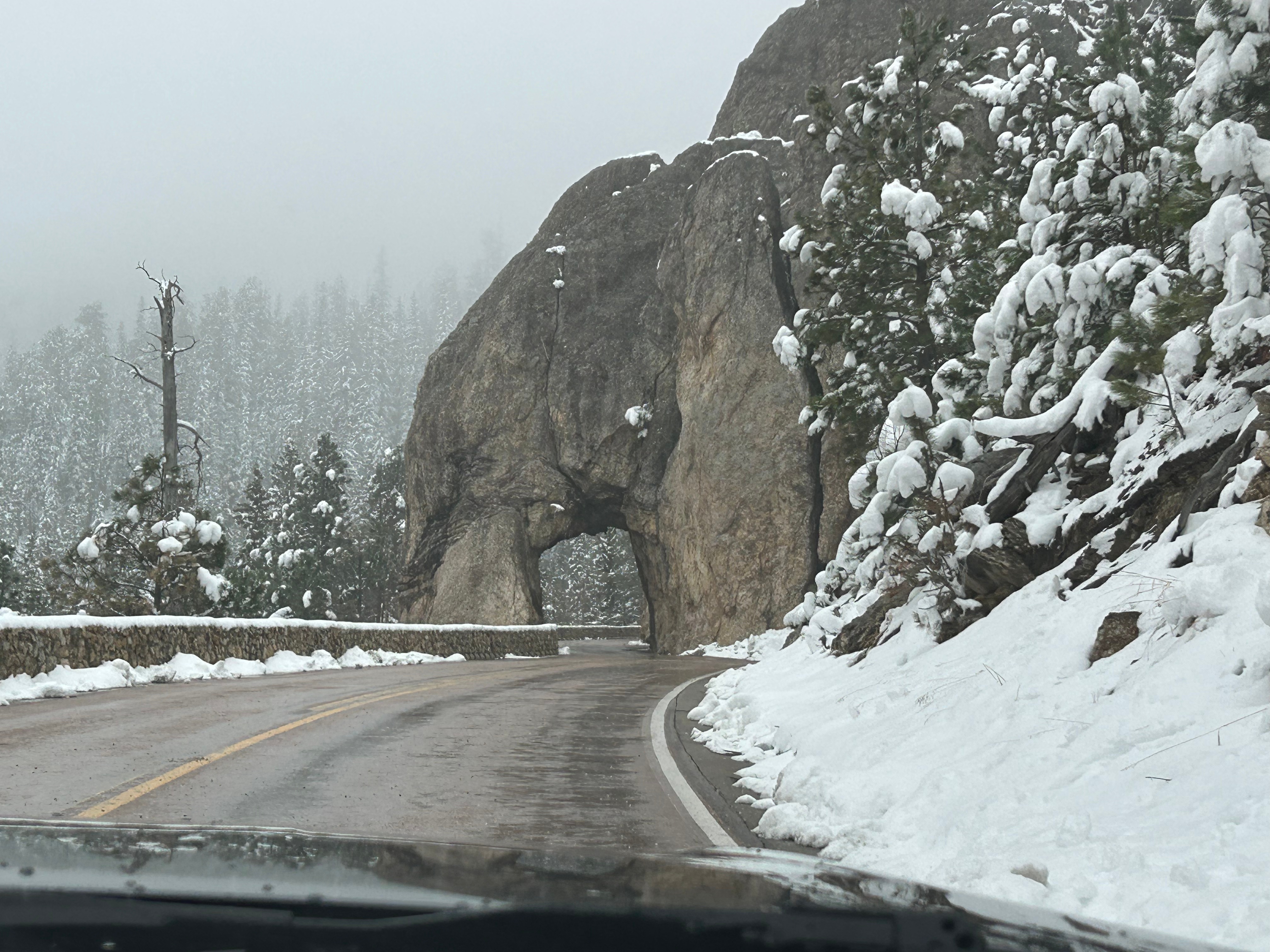
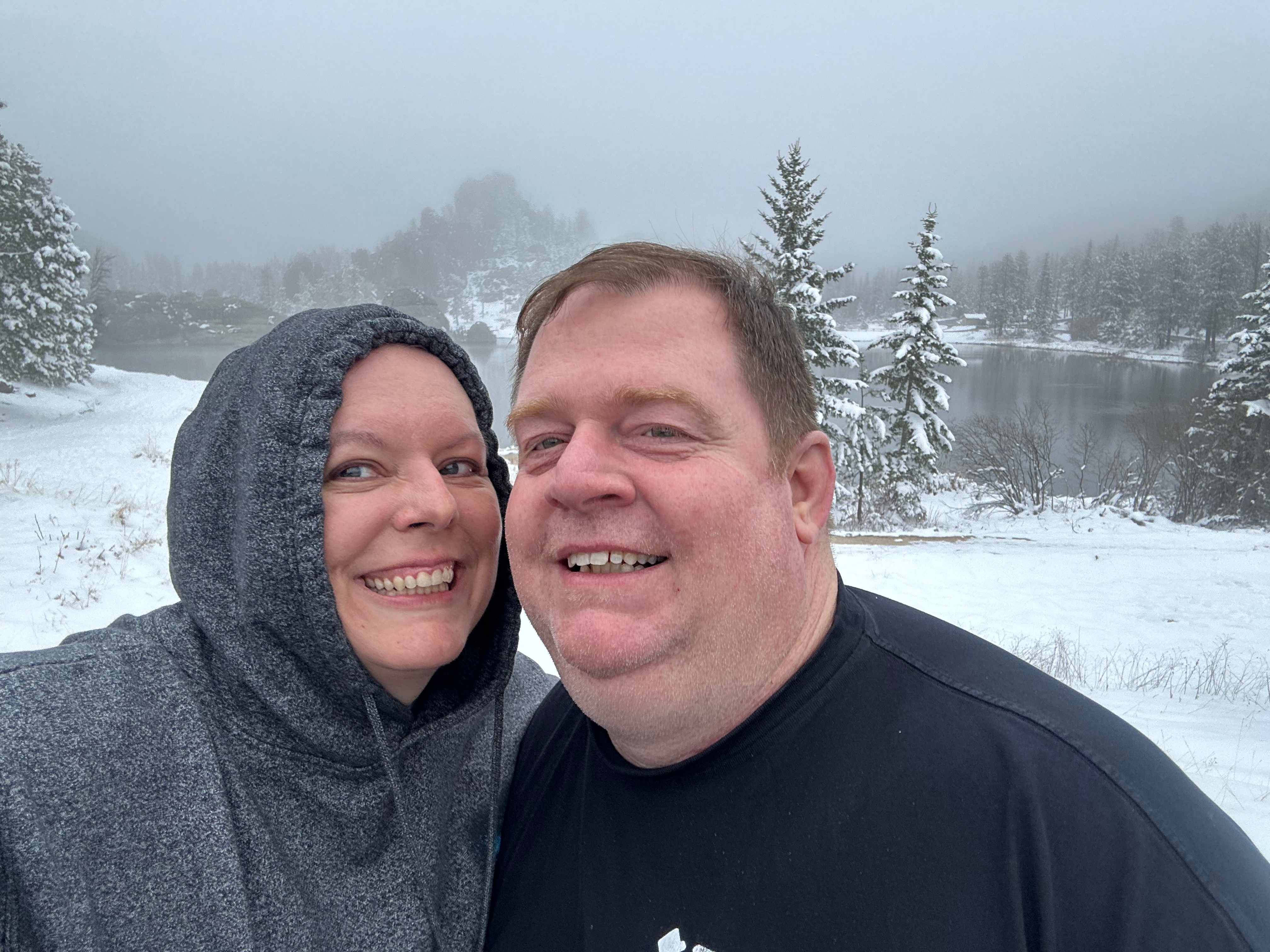
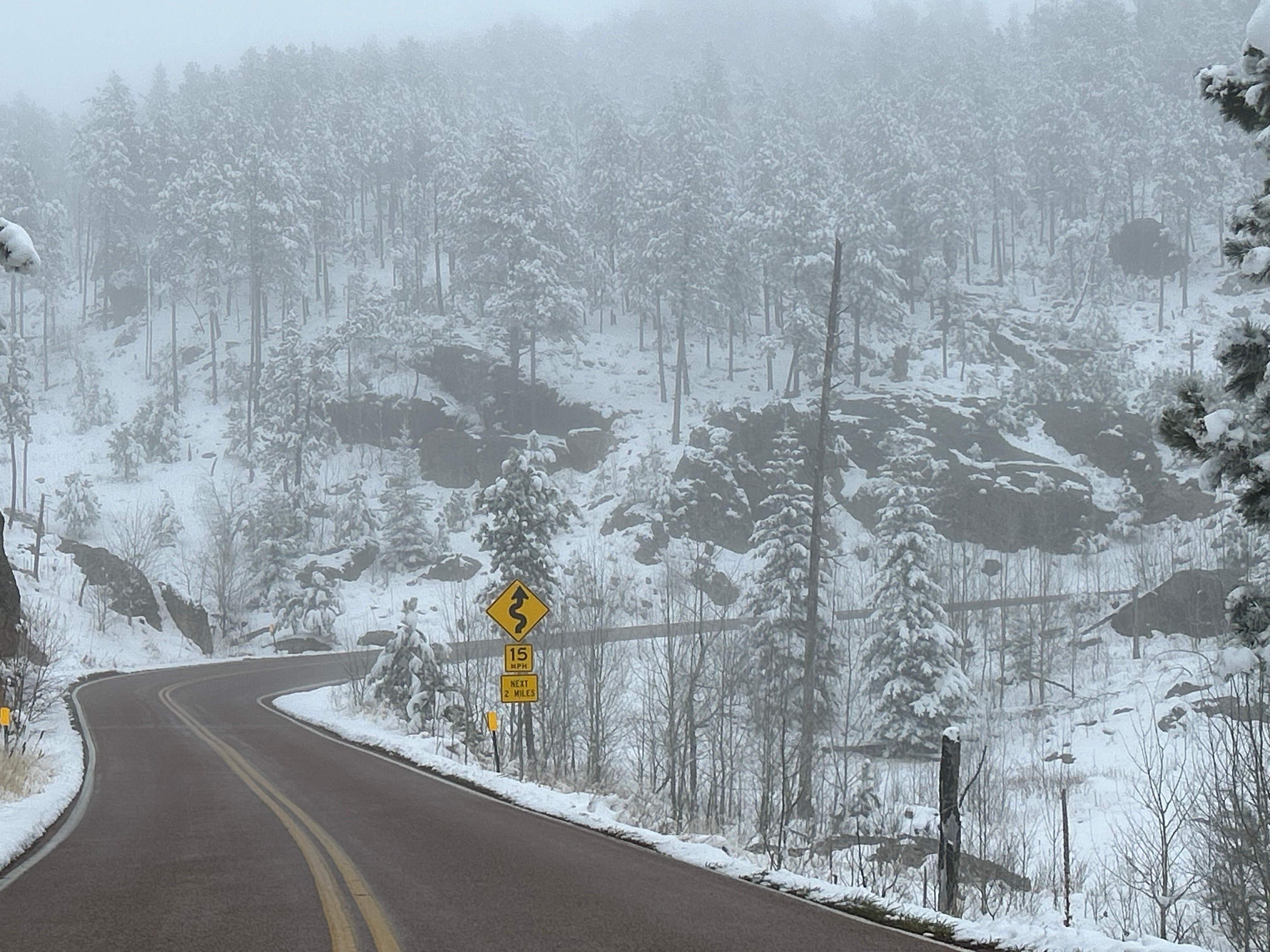
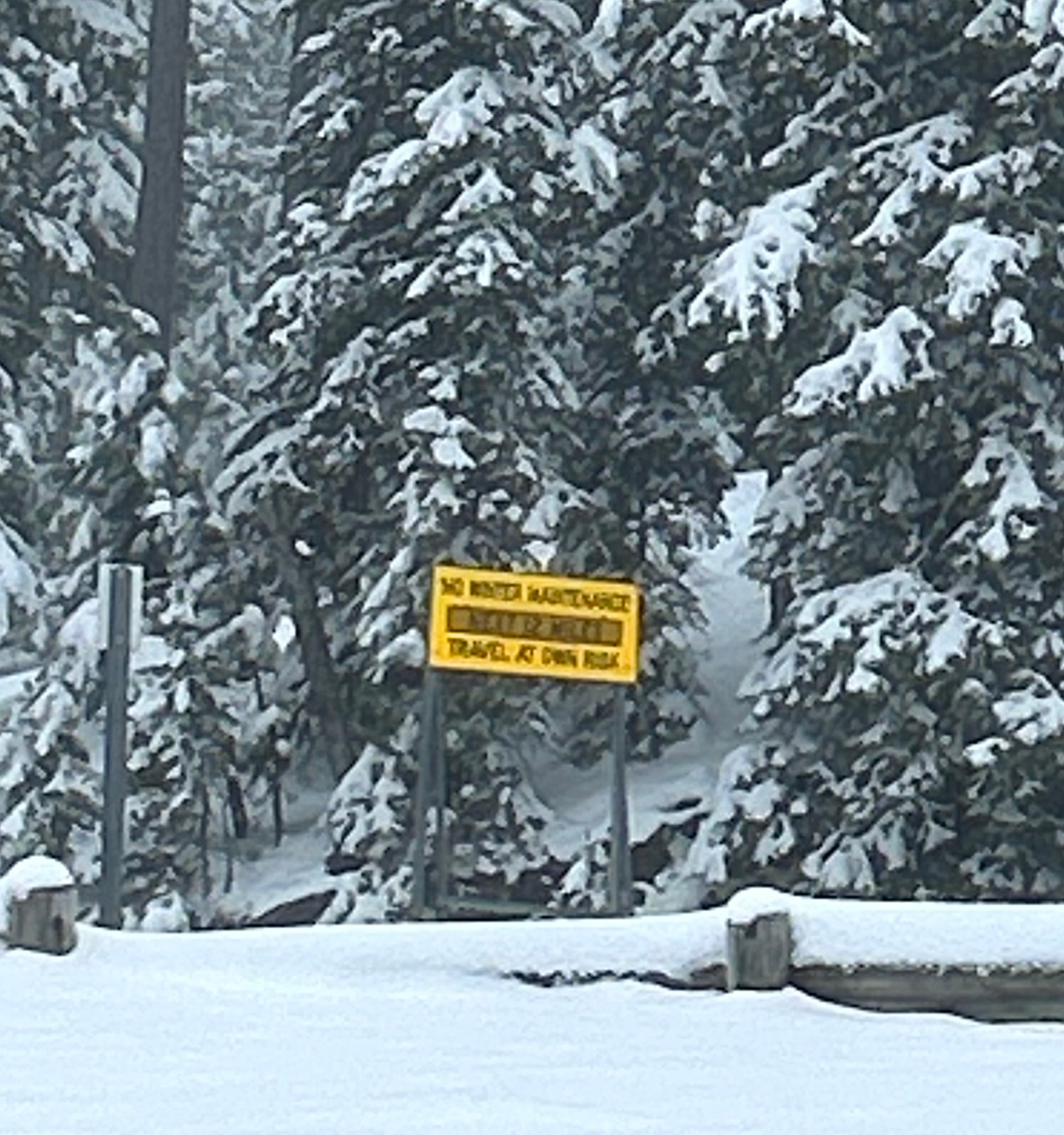
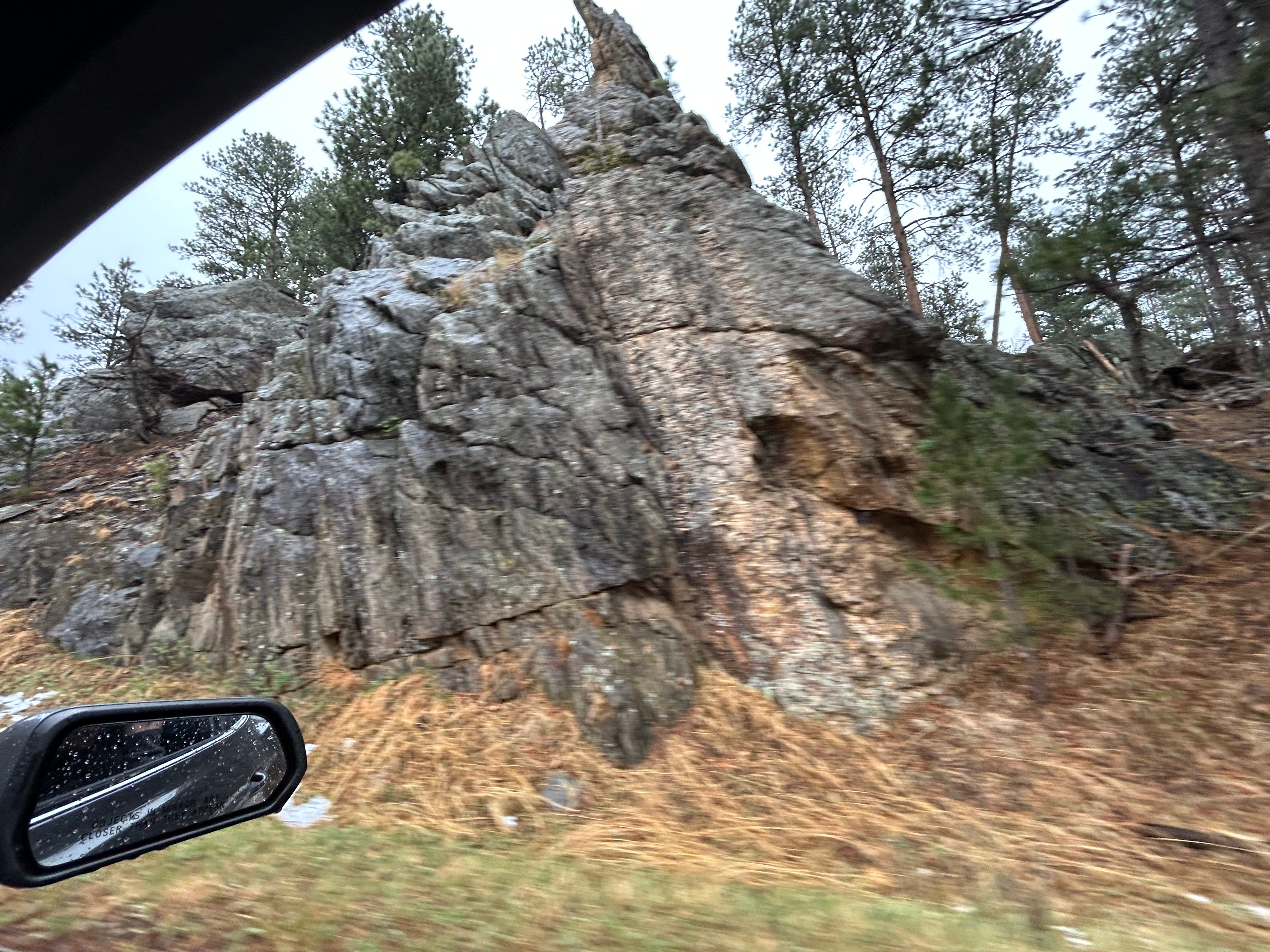
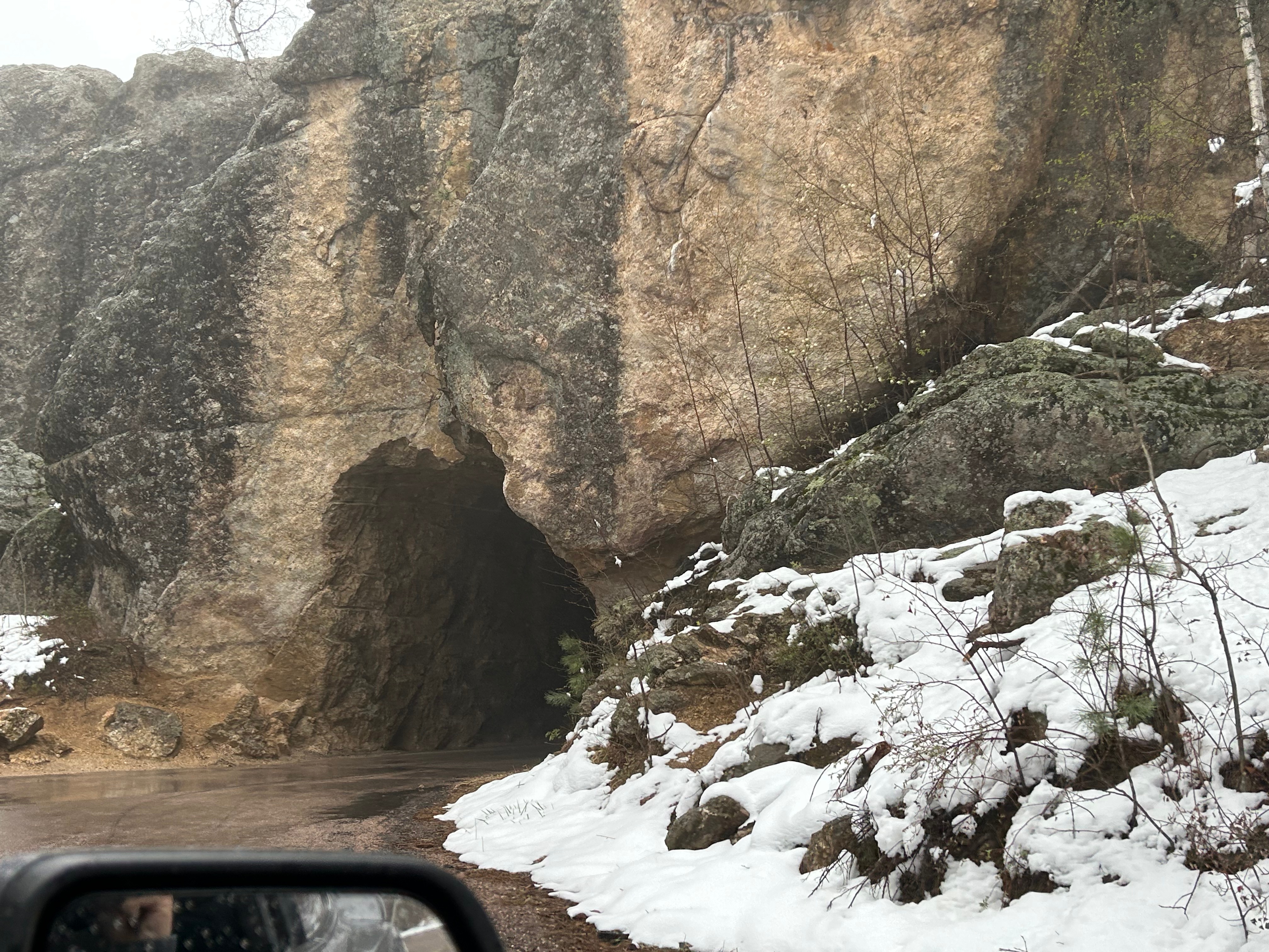
Next up was the second road we wanted to experience…Needles Highway. This 14-mile scenic drive is known for 1000 foot granite spires, tight hairpin turns, and an even narrower tunnel than on the Iron Mountain Road. We started on this road despite the heavy snow around us because the roads looked similar to the prior roads (wet but not slick). We went past a beautiful wintry lake, through the Needles Eye tunnel (9’8″ tall by 8’9″ wide), and drove past jaw-dropping rock formations. As we went up, the temps dropped and it started lightly snowing. Thom was pondering turning back when we passed a sign that said “No Winter Maintenance–Travel at Your own Risk”. That pretty much settled it, and by the time we could find a pull-off (to turn around in), the roads were noticeably slick. Seemed like it was time to go check into the hotel and watch the snow fall from a safe, warm spot.

On the Road Again

We’re back at it, with a trip that ChatGPT called “very aggressive but doable”. (Sounded like a challenge to me!) The igniter for this trip was based around my birthday gift from Thom–two tickets to see Phish at The Sphere in Las Vegas. We briefly talked about flying out there and renting a car to tool around the region, but we really do enjoy the long journeys in our own car, Mara.

Once we decided to drive, it was just a matter of deciding what other highlights to hit along the way there and back. Thom was really eager to drive the Iron Mountain Road in South Dakota, but it’s a little iffy to go that far north in late April. However, the Phish concert was set for a Thursday, so we wouldn’t have time to go that route on the way back. While we held off on making lodging reservations yet, we set our tentative plans.

A month out, we committed to our plan. Lodging choices were limited in the northern stretch of the country, as many places are closed for winter until May. However, the central north and northwest had seen a relatively mild winter and things seemed to be warming up. Just a week before the trip, our planned northern stops in South Dakota and Wyoming had even been as warm as the 70s. But then just days before we left, the weather forecasts changed from mild and dry to cold and snow. Well here we go…

So Friday after work, we jumped in the car and drove all the way to Metropolis IL. I don’t even have to tell you our first stop, do I?

The first leg of the trip started with a route we’ve taking tons of times up through Tennessee (since one of my brothers lives near Nashville). We didn’t see any of the classic See Rock City birdhouses, but we did see one billboard for this classic tourist trap featuring their gnomes instead of the old classic logo. Not sure how I feel about the advertising change, despite my love for gnomes. We enjoyed the drive along the Tennessee River going out of Chattanooga and the Monteagle crossing; both are such beautiful landmarks.

As we headed into Central time and towards Nashville, we were also heading towards severe weather. Thankfully, the storms diminished as we approached and even gave us a little bit of sunset. The drive through Kentucky was mostly uneventful, although a bit foggy here and there and one bout with construction. After traversing four states, we arrived in Superman’s hometown.

Saturday morning we got moving early for our longest plan travel day of the trip. We had hotel breakfast with all the ladies in town for the national quilting convention; it was hard to find a hotel within 50 miles of this Paducah KY convention…it must be quite the event. We didn’t stop to see Superman since we saw him in Metropolis just a few years ago during the solar eclipse. (You should check out that blog to see the giant eclipse glasses Superman was wearing. Such silliness!) Our first stop was to fill up the gas tank and our water cups, which wouldn’t normally be note-worthy except the nearby gas station had all sorts of odd statues around, including what we had to call “Little Foot”.

We started the day with weather very similar to home–mostly sunny and low 80s. We filled the drive time with one of our favorite podcasts, “60 Songs that Explain the 90s”, as or with an audiobook, “Dungeon Crawler Carl”. (If we weren’t chatting, of course.) Illinois featured an array of farms, mostly soybean and corn. Missouri transitioned from farms to rolling hills, with the periodic cool bridge or interesting building. We finally made a stop for lunch to get some Kansas City-Style BBQ (or so we were told, but we weren’t in Kansas City). If you find yourself in Columbia MO, stop at Como–it was an unassuming place in a gas station complex but had great food. *Look really closely and you can see our picture of the Arch this time in St. Louis.

The afternoon brought forth all sorts of odd adventures. We had a Lamborghini pull up and off we went for a spirited stretch of drive together (certainly following the speed limit). After driving into Kansas briefly and then back into Missouri, we stopped for gas at the fun-sounding “trex Mart”. There were no T-Rexes, and no dinosaurs for that matter. Disappointing. I marveled at the old tornado sirens instead. There was an overwhelming smell of gas, and either the ground was wet or there had been a spill (or both?). I headed towards the bathroom only to have a worker tell me the bathrooms were all closed. We were chatting briefly when I realized Thom was very urgently calling my name and telling me we had to go. That seemed awfully impatient until I got in the car, and he explained that a car pulled up next to us with a guy smoking and flicking ashes. We needed to go before the crazy man caused a gas-fueled explosion. Not far from there, we drove past a theme park that didn’t seem close to any big towns (Worlds of Fun). The midwest surely keeps you on your toes with unusual finds.

Safely back on the route, we said goodbye to Missouri and technically went through Iowa (barely long enough to play the whole Slipknot song, “Iowa”). Soon after, we entered Nebraska. Sadly, it was late enough that the Lewis & Clark Visitor Center was already closed. But hey, we got a picture of the replica boat.

As we approached Lincoln, there was a severe storm moving towards us. Tornado warnings were issued in the area we were heading straight towards. There wasn’t really anywhere else to go, so we pushed onward, hoping for the storm’s severity to lessen. Thankfully, the storm’s energy was short-lived and downgraded to a severe thunderstorm. We experienced pouring rain and lots of lighting, eventually tapering off to “just” heavy rain for ahile. The clouds finally diminished some so that we got the barest glimpse of the sun. (Below, those are not mountains in the distance. That’s all lower level clouds!)

After surviving the storm, we finally stopped for dinner in Grand Island (which seems like a funny town name in the middle of the country). We were nearly literally blown away when we stepped out of the car. Although it was only two hours since our last stop, the temperature had dropped from 75 to 52…and was crazy windy! So, we blew into a unique dinner place–Max’s Thunder Road Grill. It wasn’t just a car-themed restaurant, it was also a car-enthusiast museum. They had taken notes from Hard Rock Cafe on how to deck a place out–from the uniformly placed pictures to the un-randomly set antiques/memorabilia and all under carefully chosen lighting. Had a surprisingly good dinner and coffee, and then I found my dream car. Hahaha, we’re gonna need better paying jobs if I’m gonna buy that one!

The drive home was dark. It’s too bad it was cloudy, because I bet this place has great dark skies. Of course, I always have my stars in Mara (since he put in that awesome starlight liner). This was a super long day over five states, with 12 hours drive time but about 15 hours actual time. Maybe we found where our actual daily drive limit is. Like, we were so tired that I swear I saw three bridges in a row say Beaver Creek. And then Thom was super spooked by an unexpected large shadow of a bridge in the middle of nowhere. It turns out, that this was The Great Platte River Road Archway Monument. Probably would be pretty interesting if we had come through during the day. But alas, it was very much night. We finally made it to the hotel and fell right in bed.

The next day has much in store…